






Three Days Trail: Panorama Trail Run from Davos, Klosters into the Prättigau (entire route)

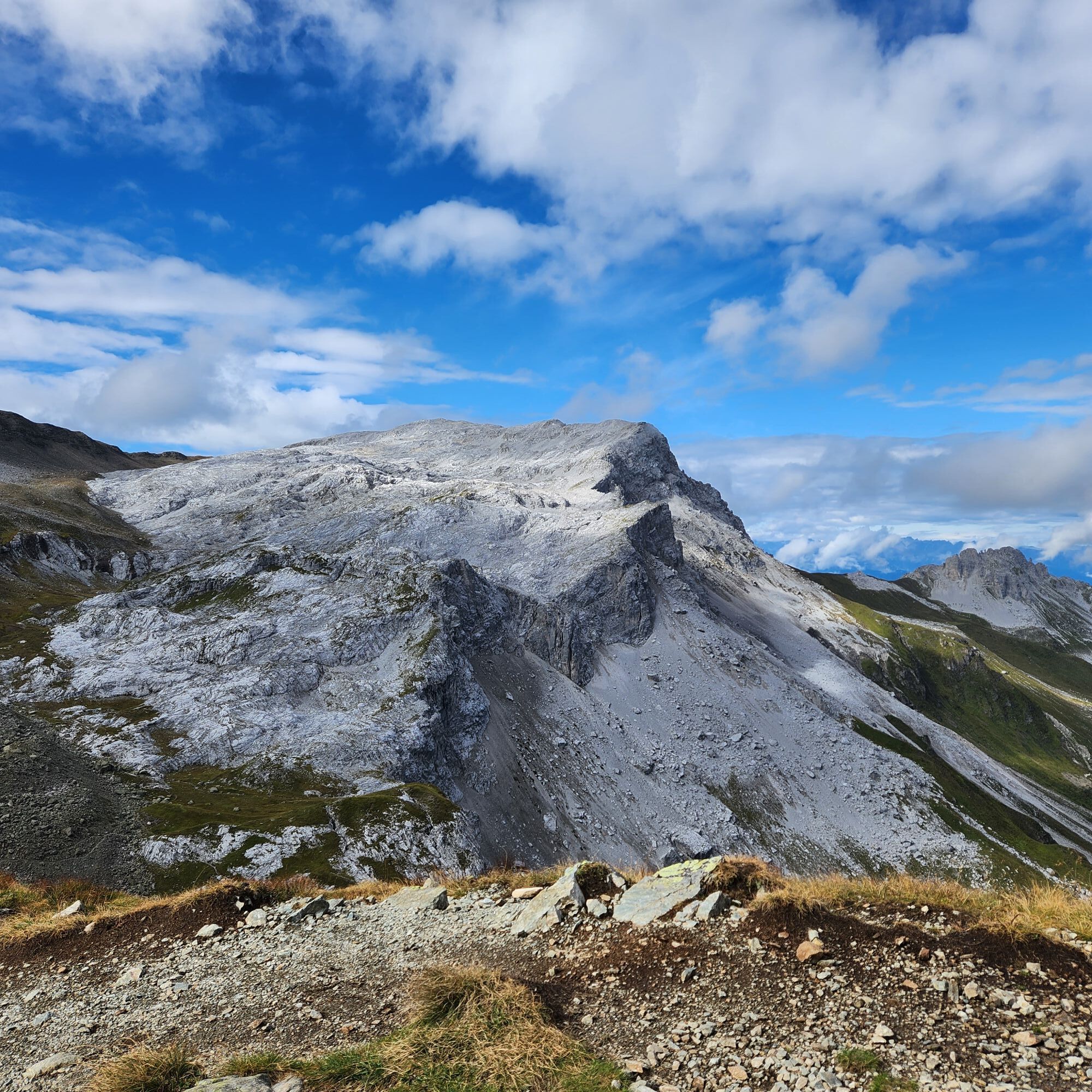
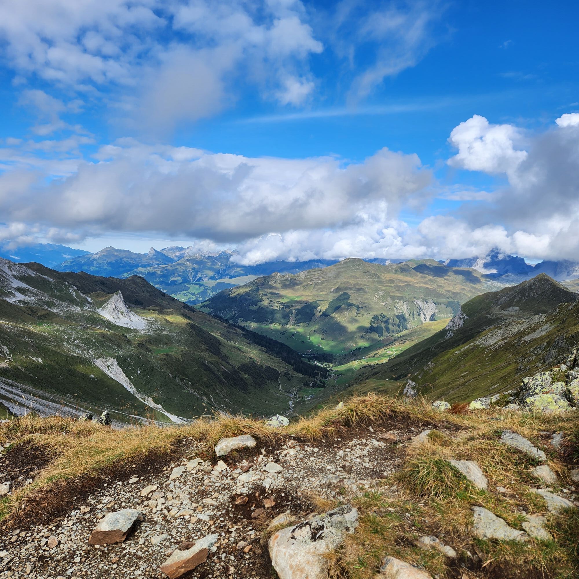
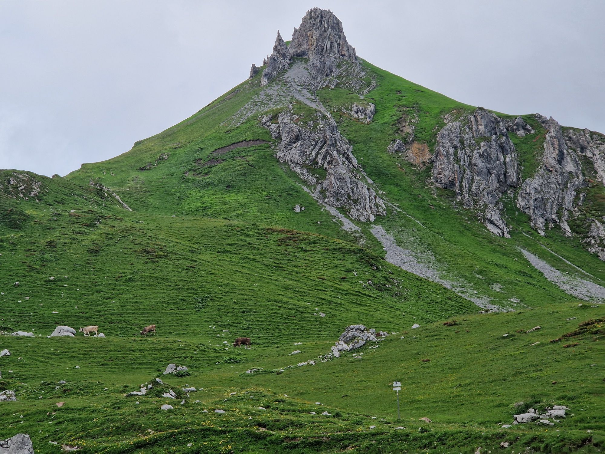
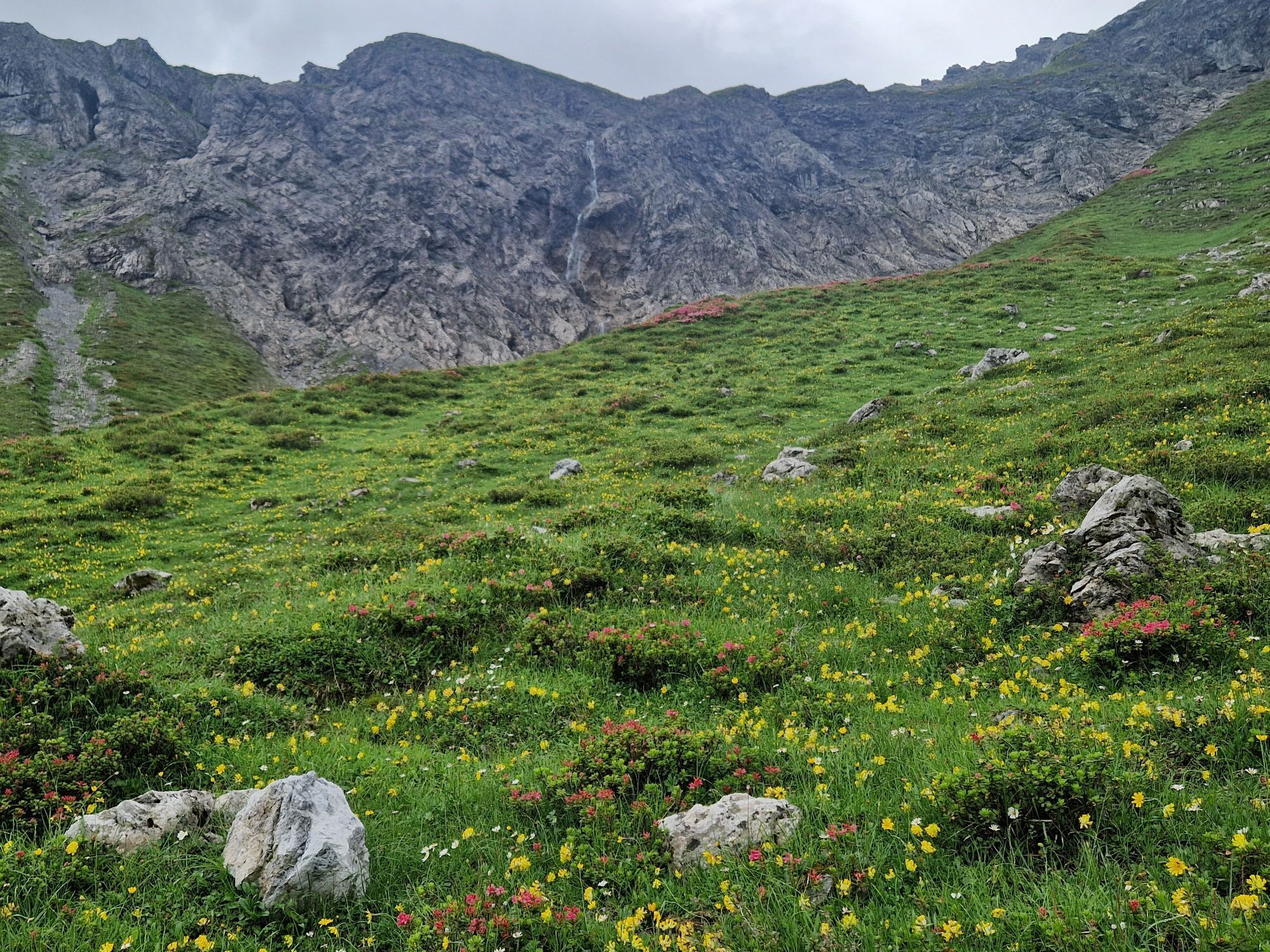
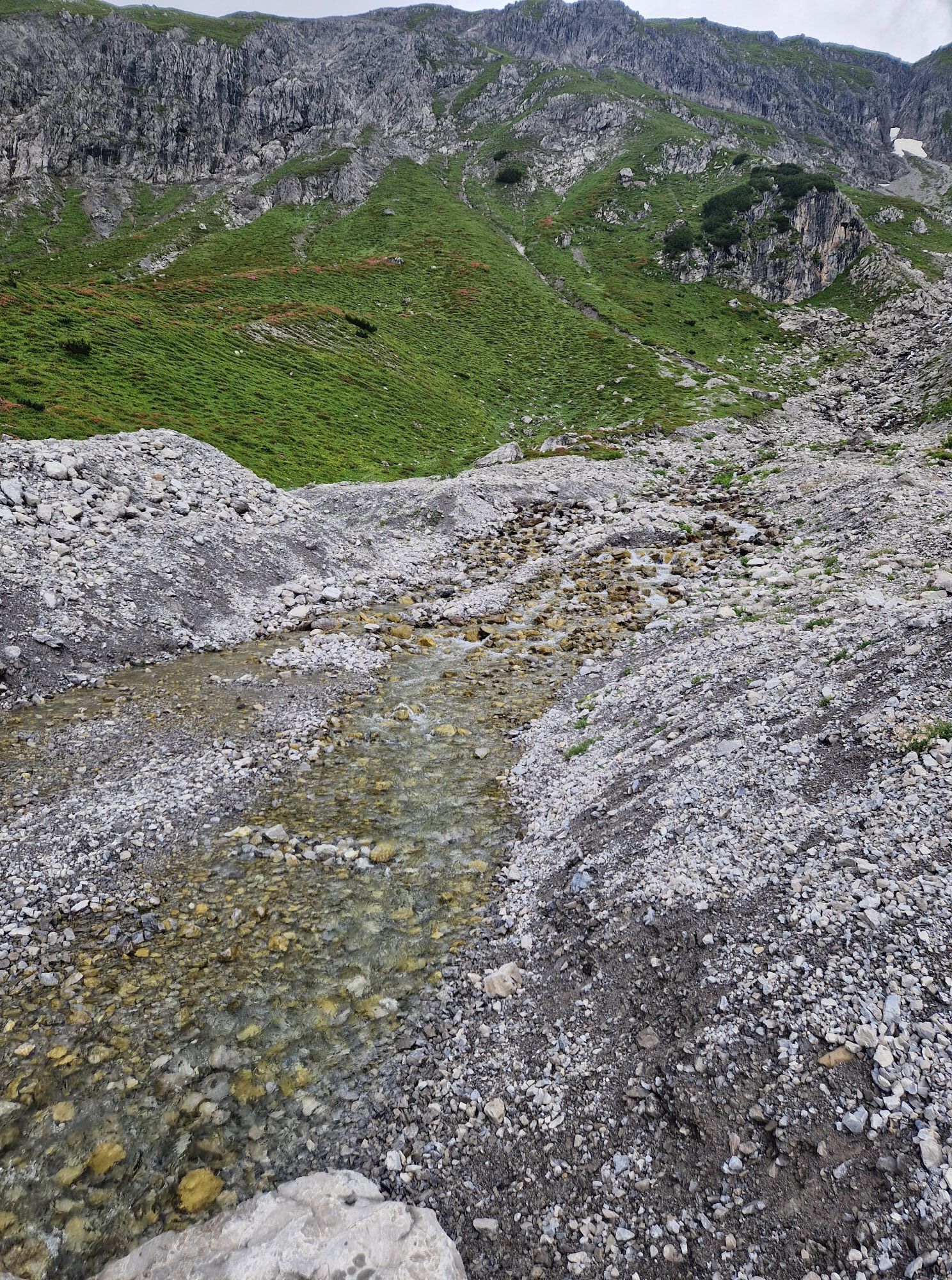
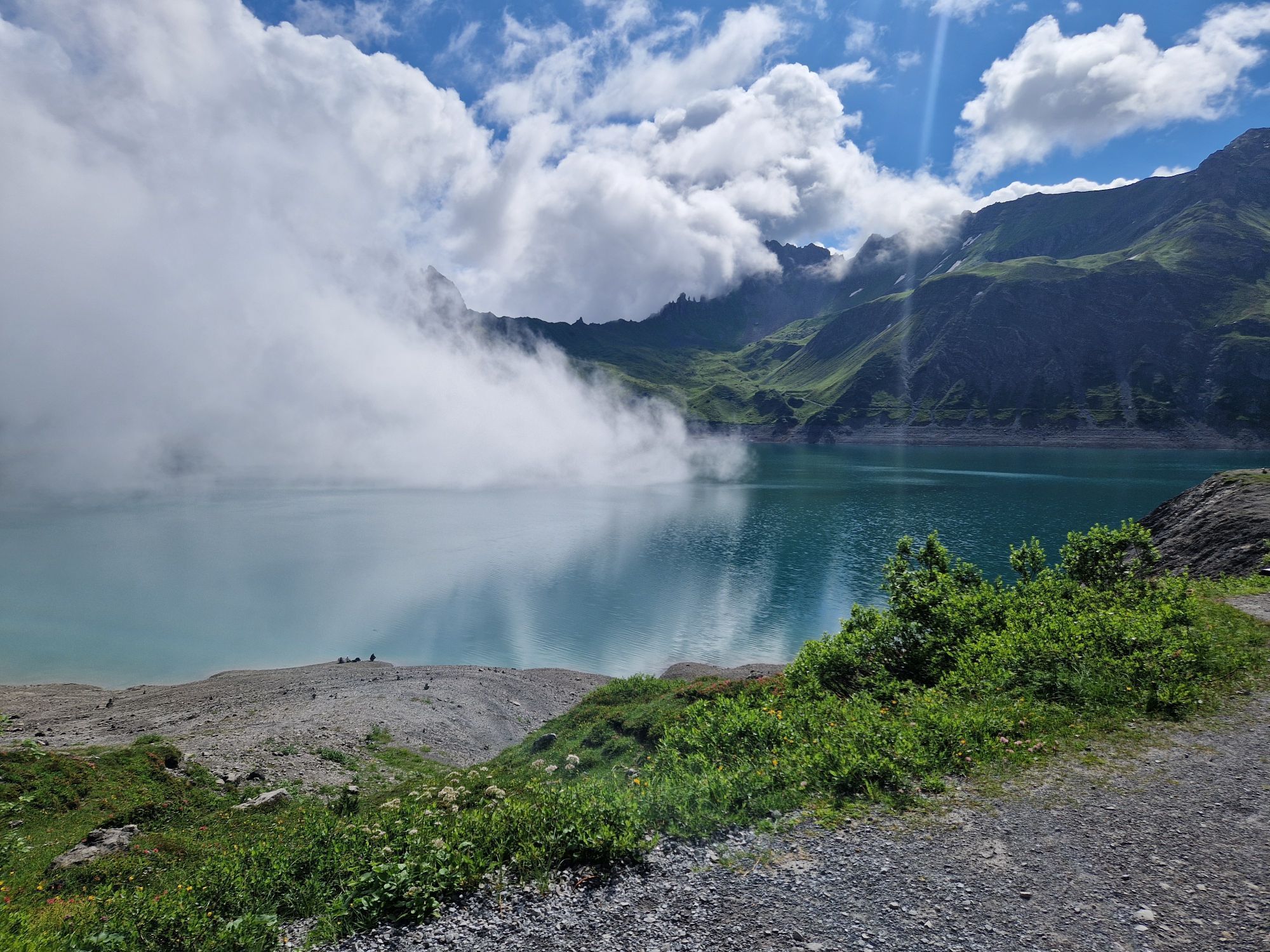
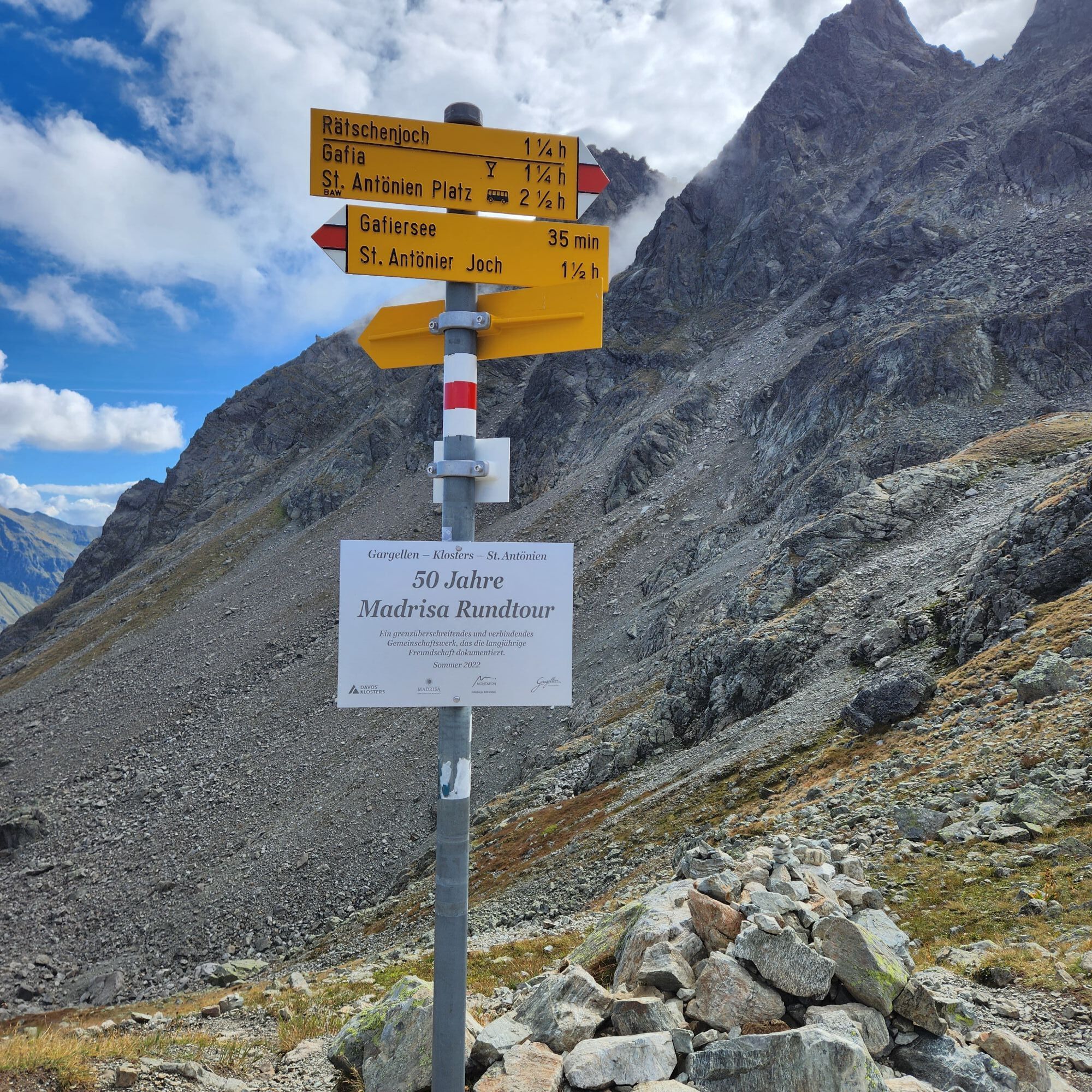
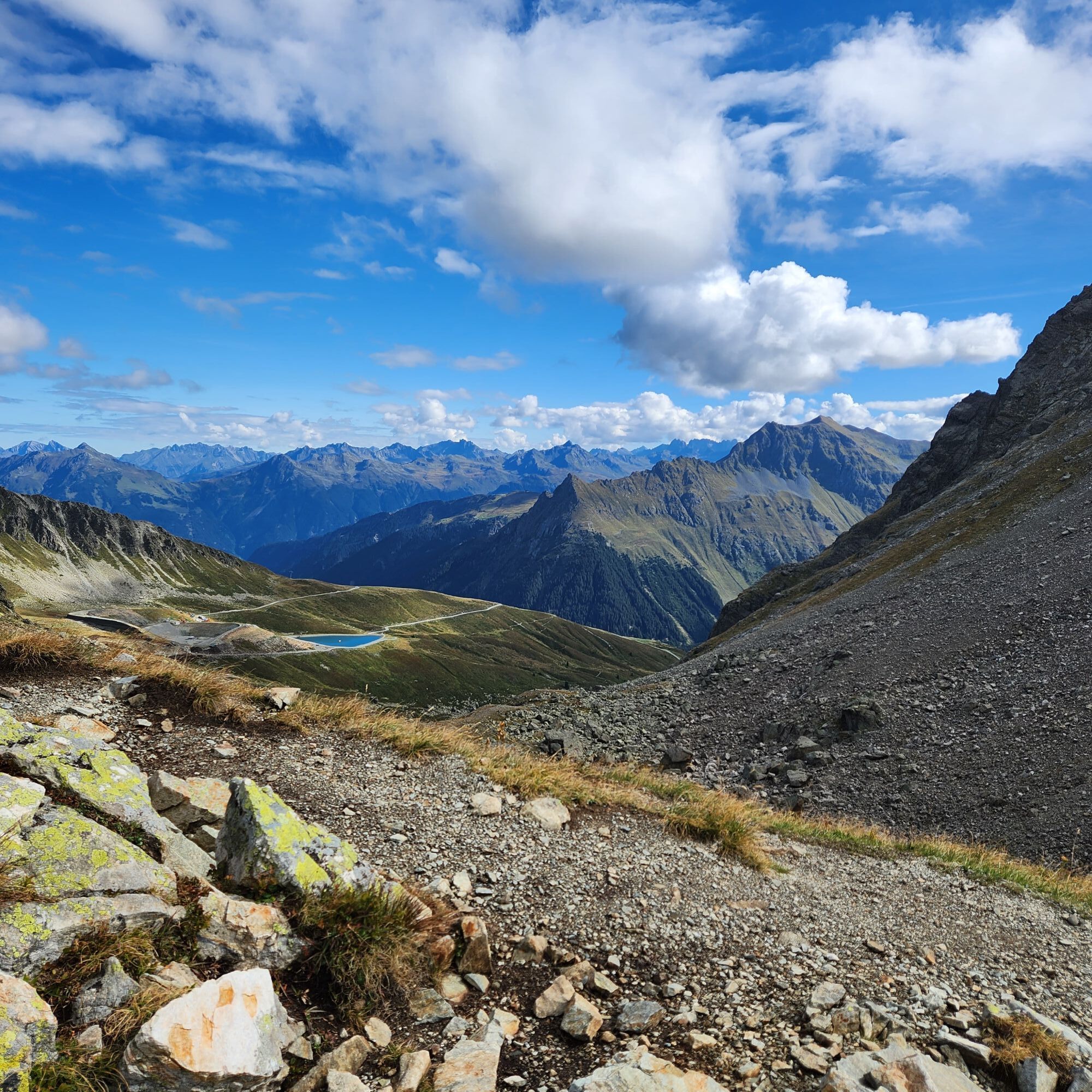
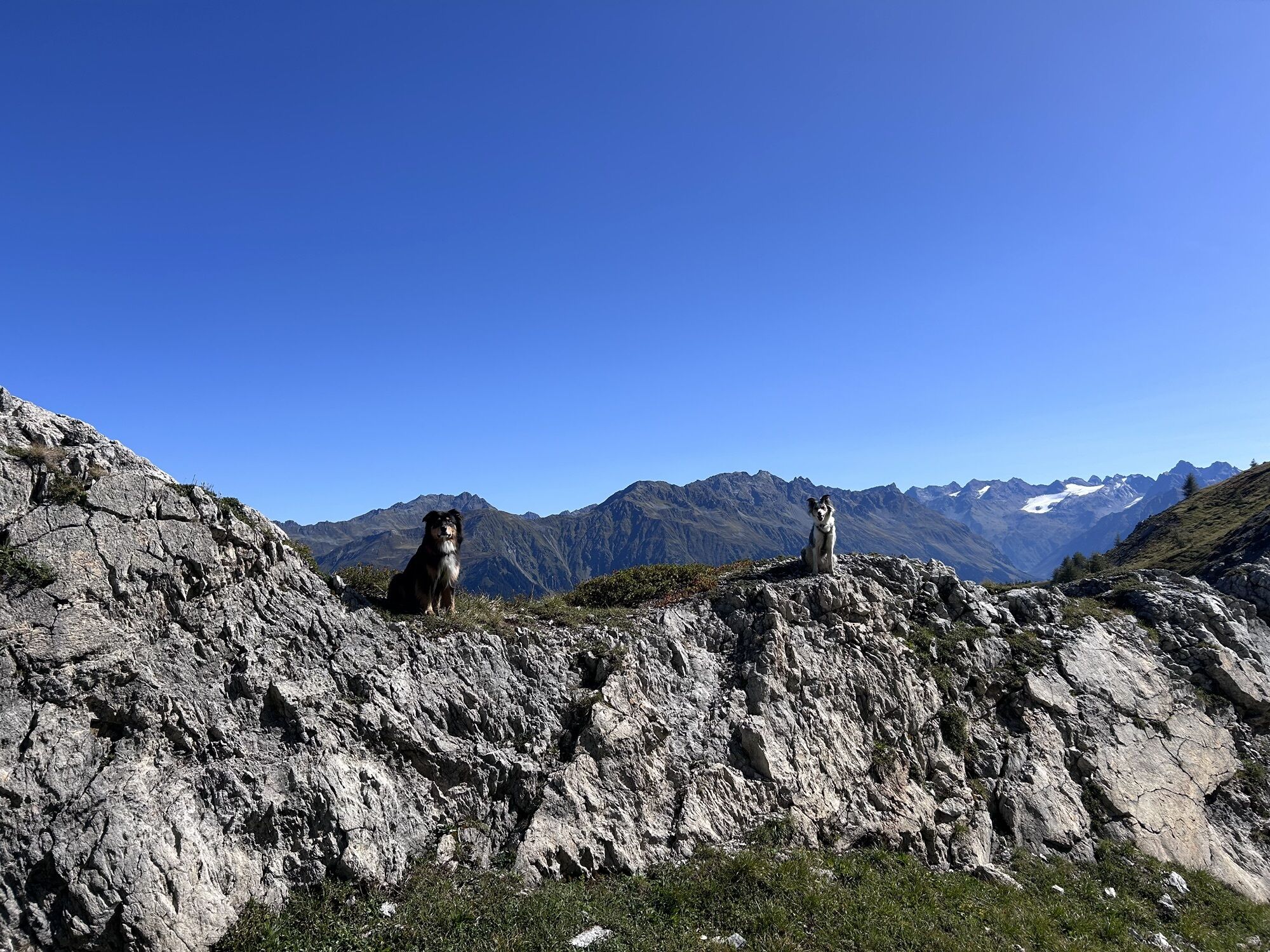
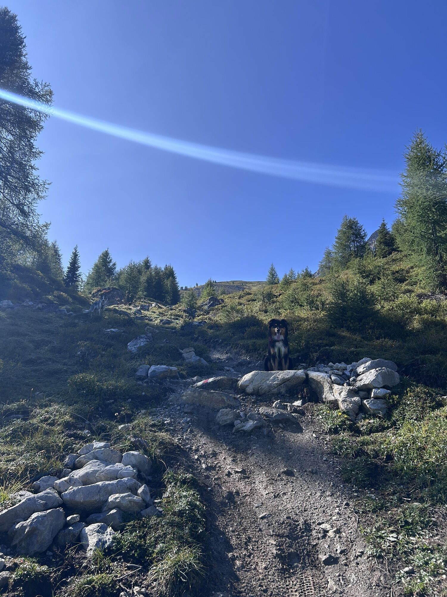
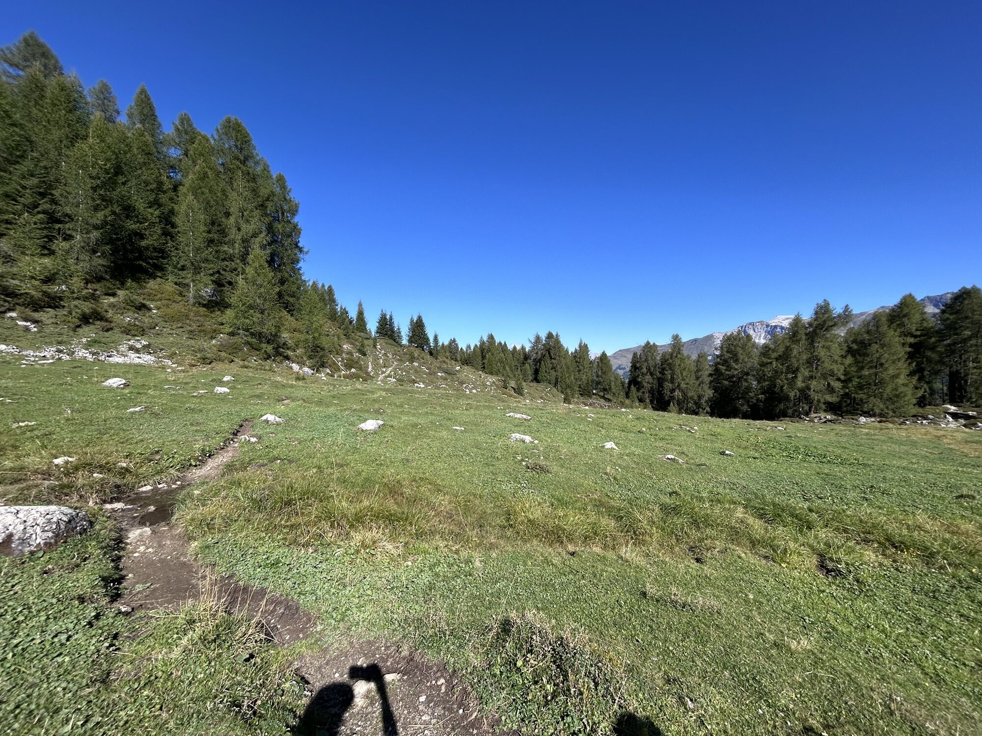
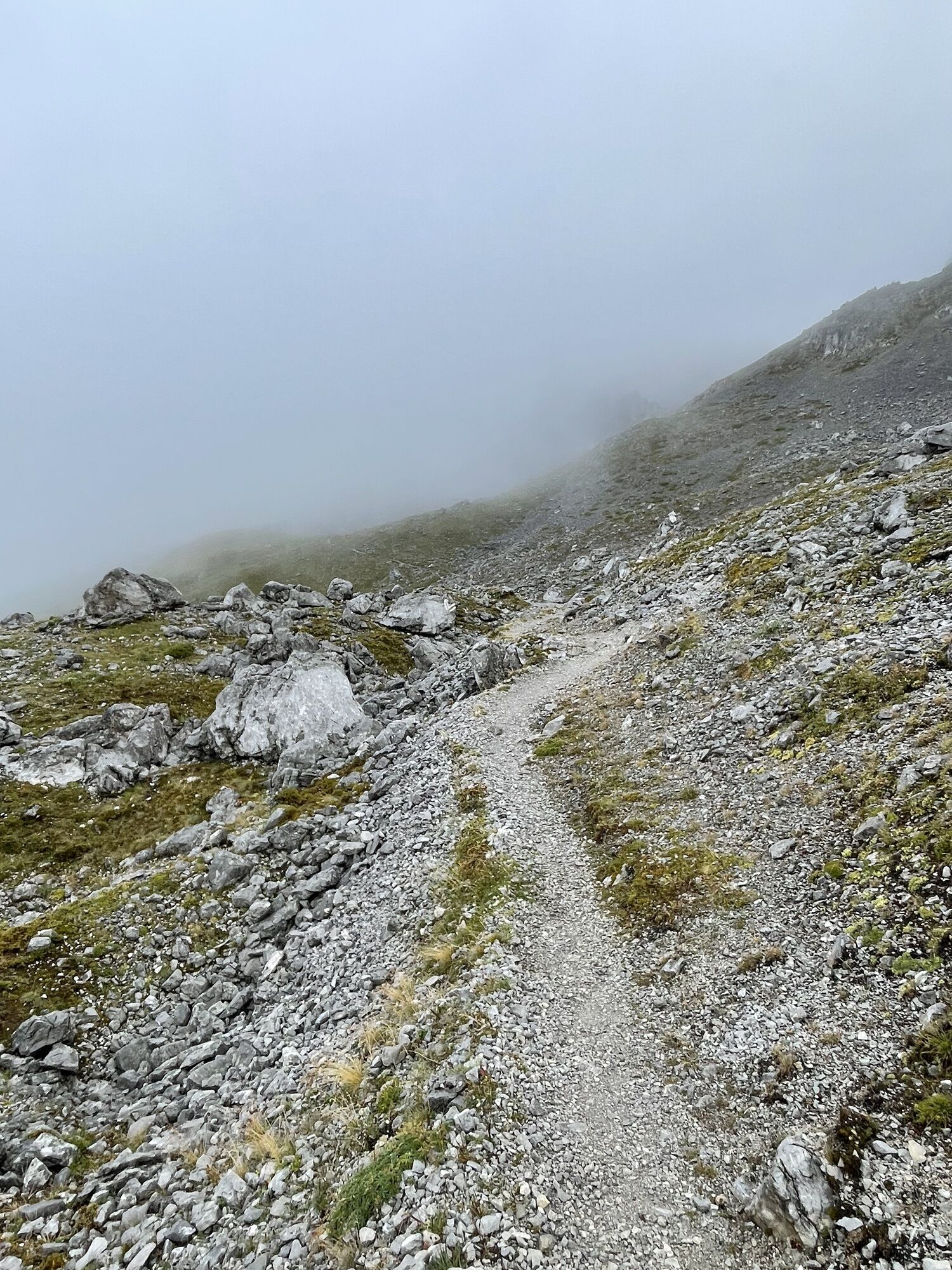
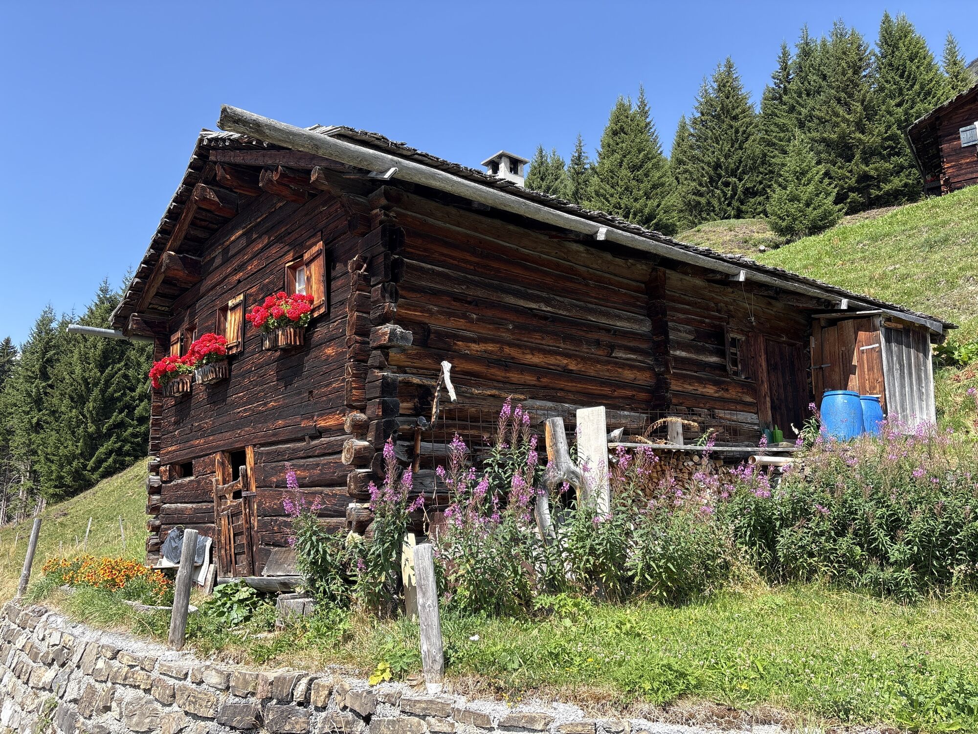
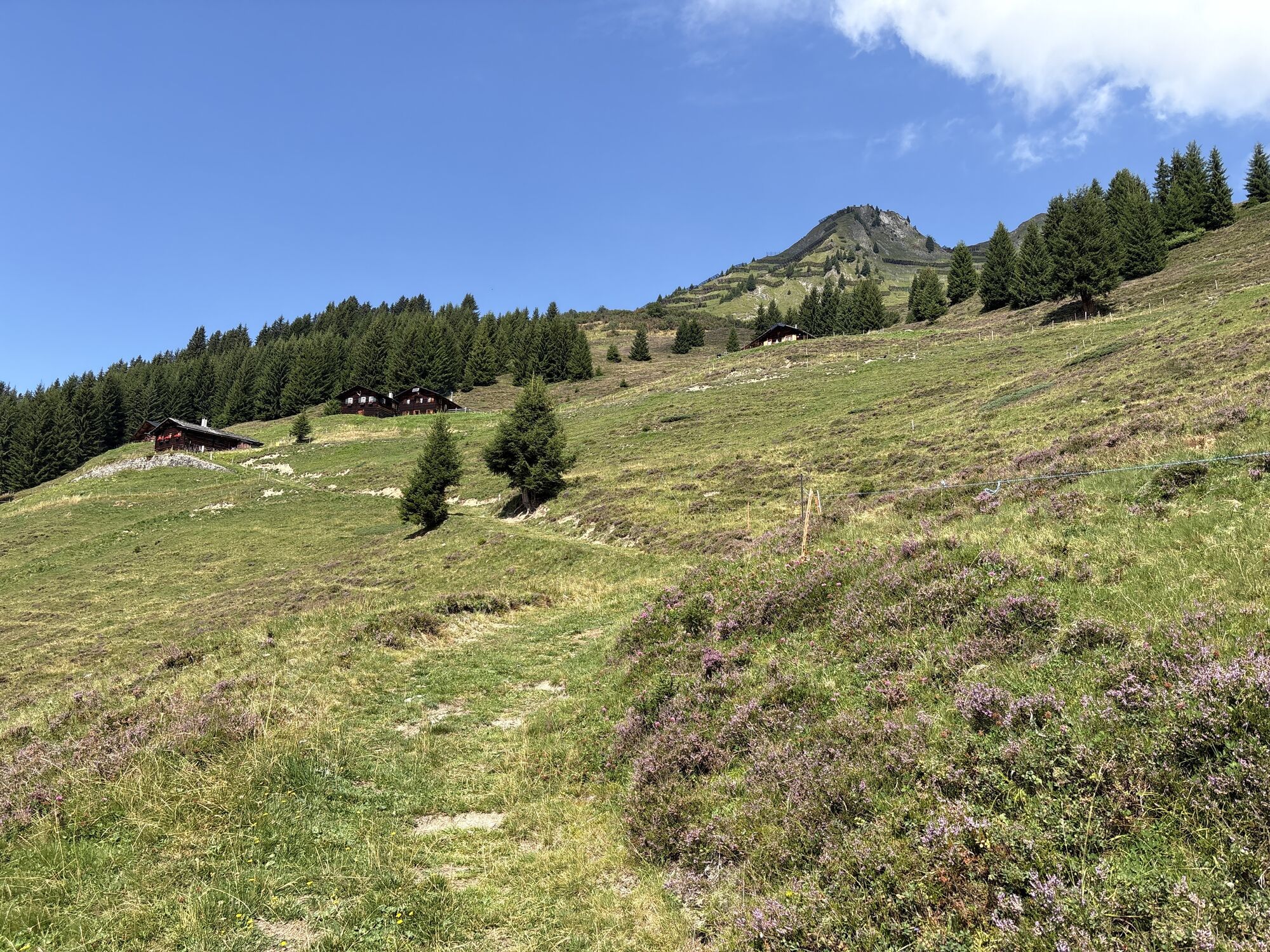
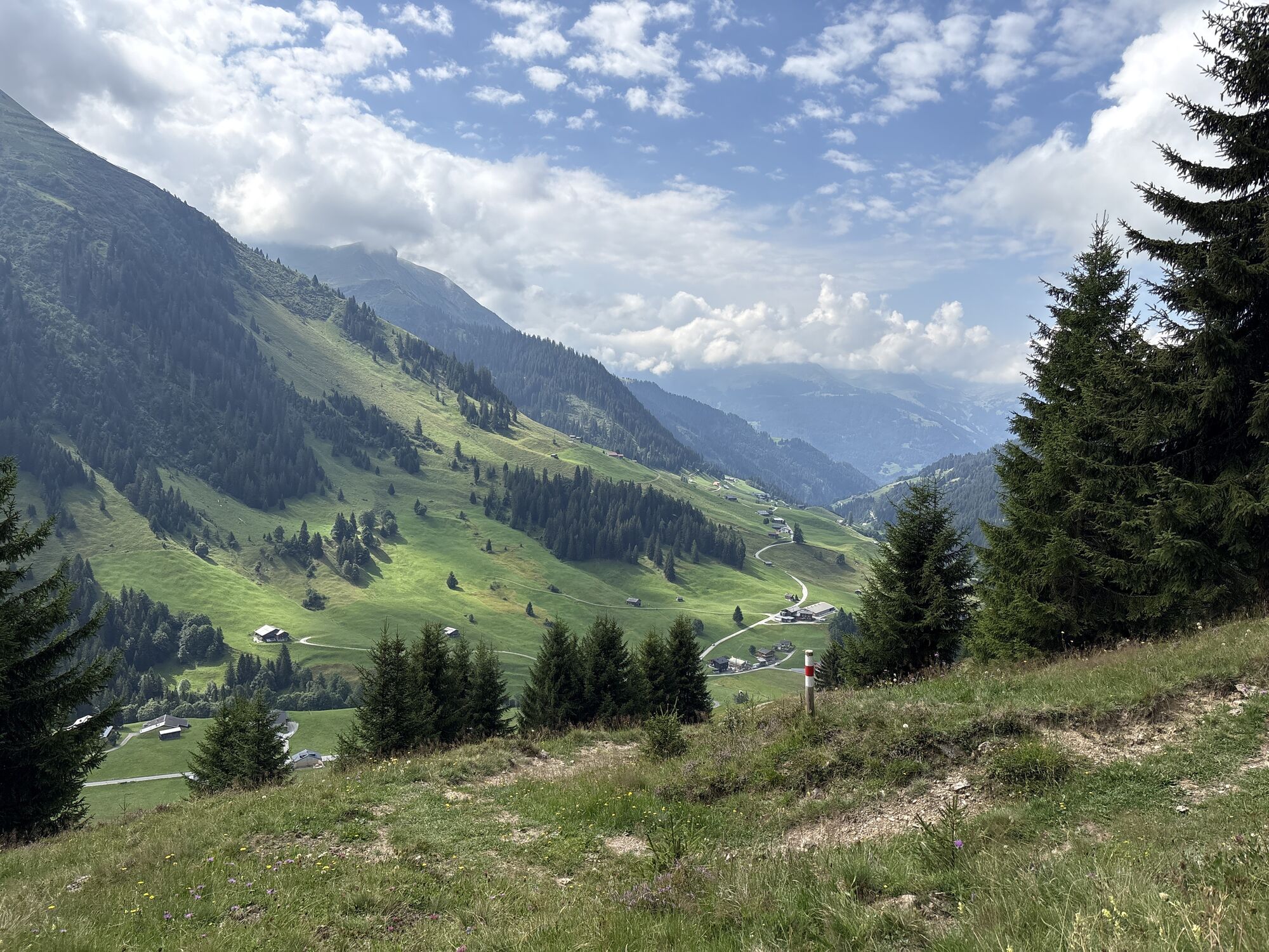
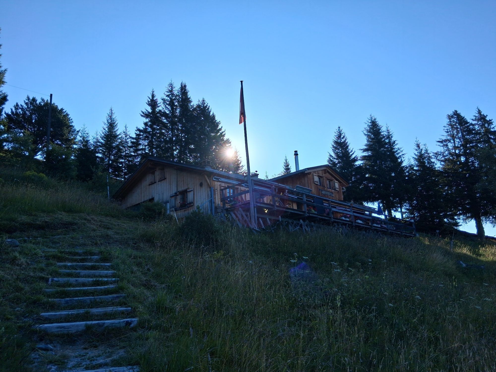
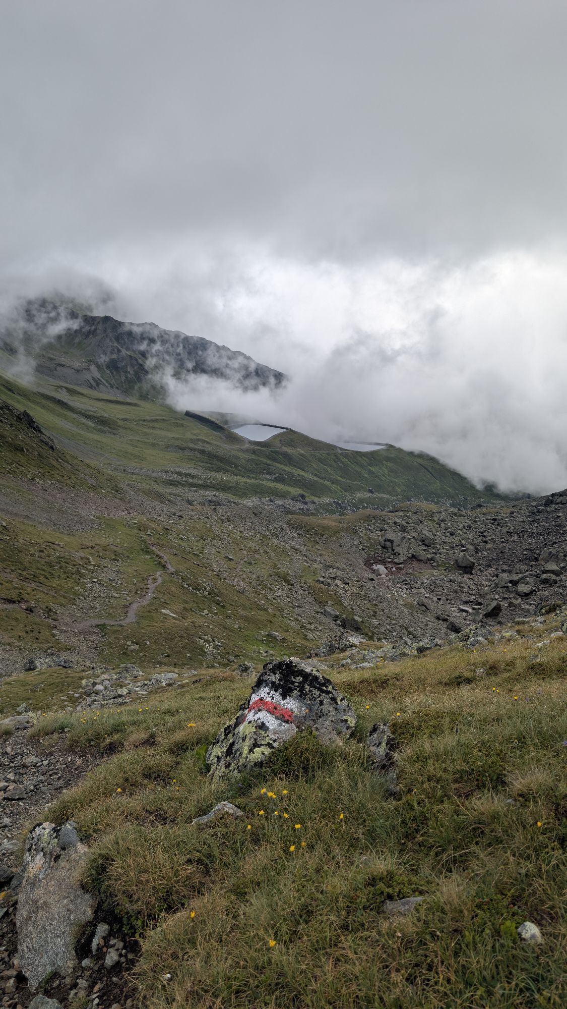
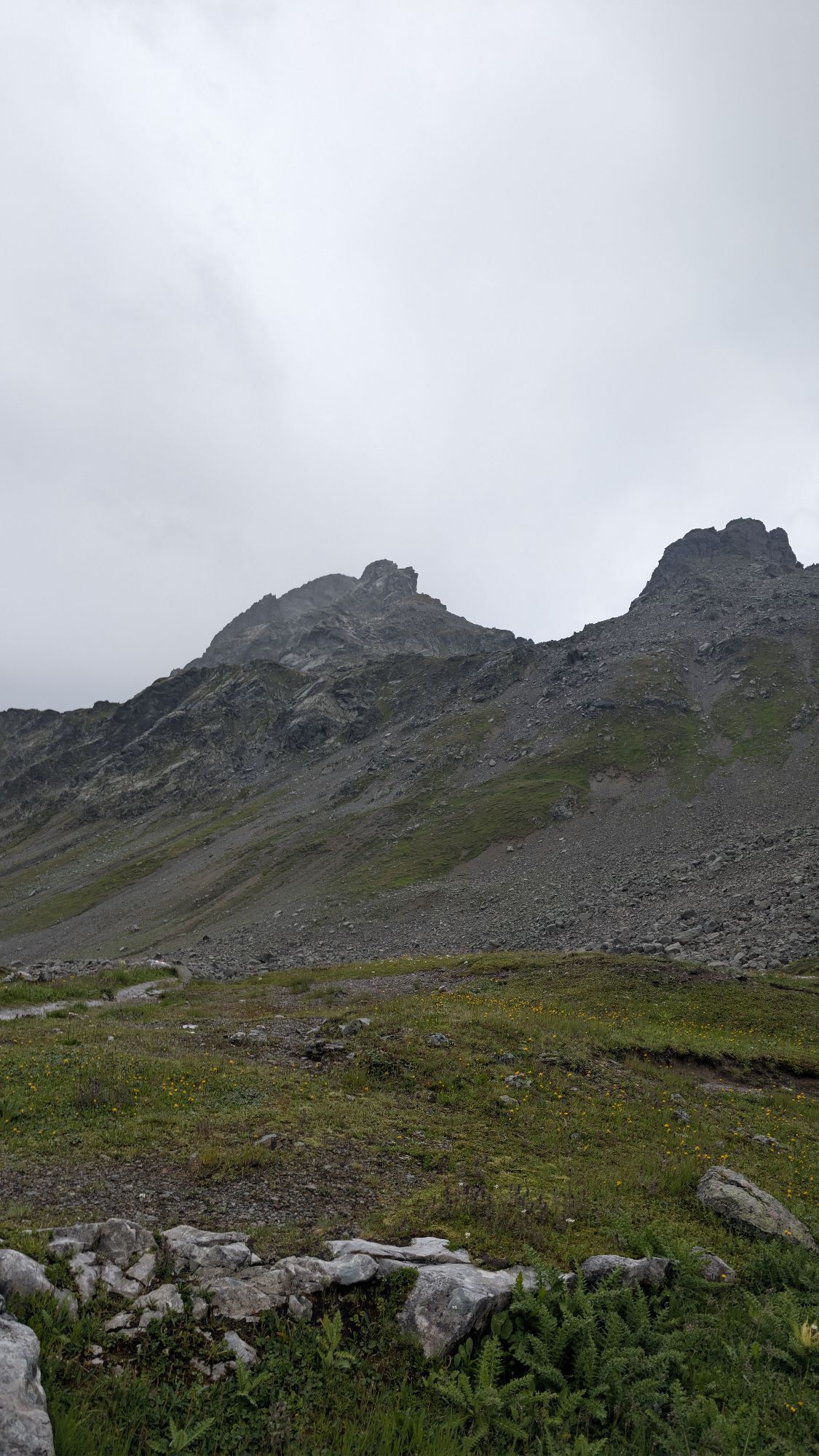
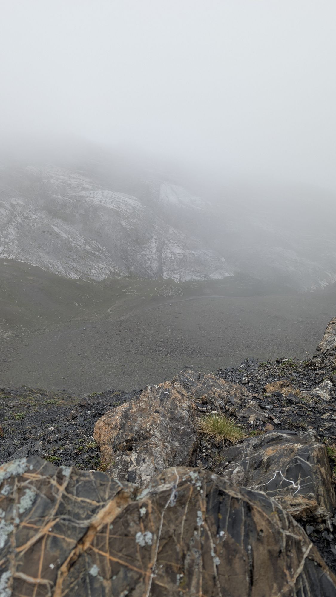
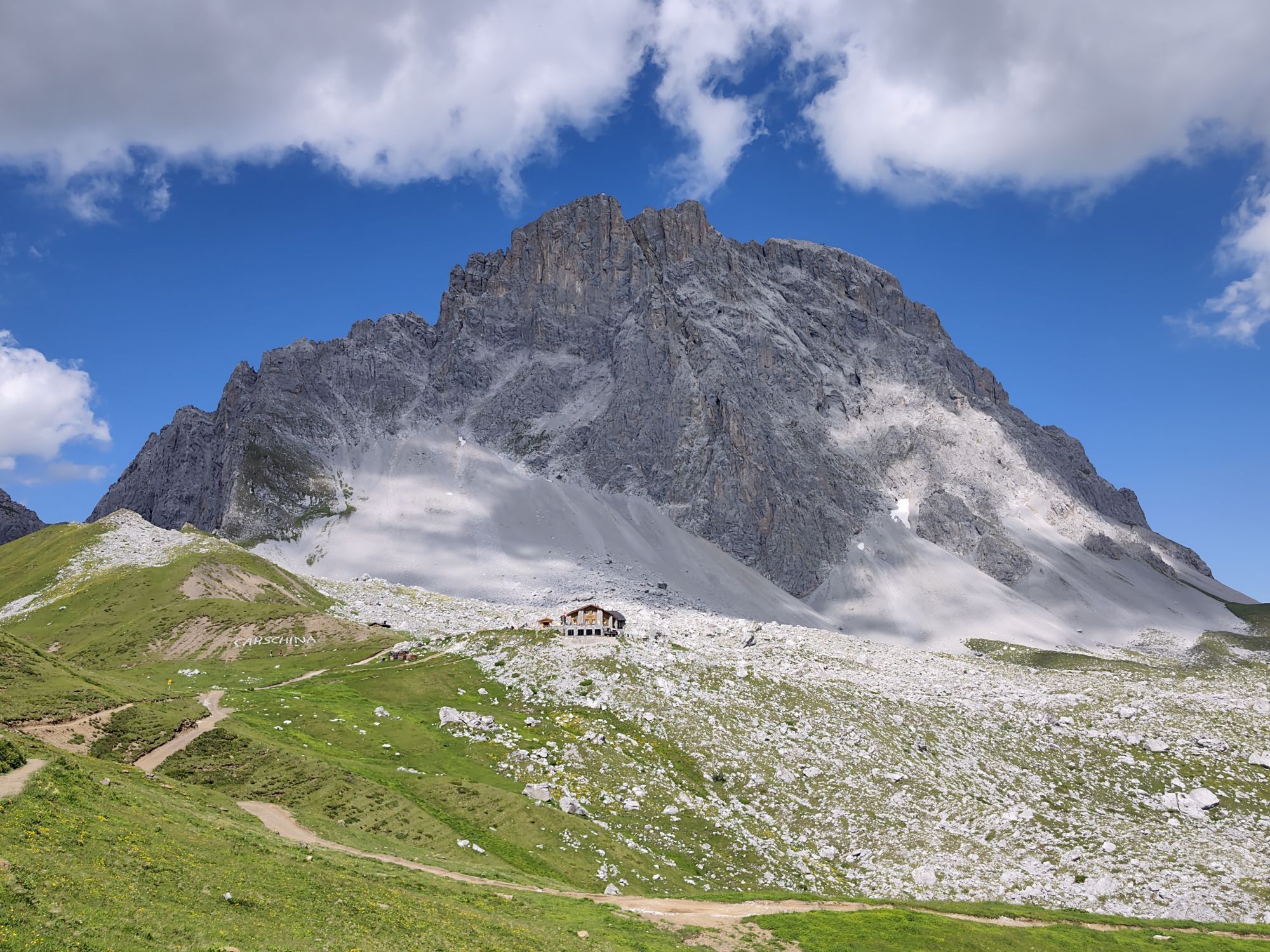
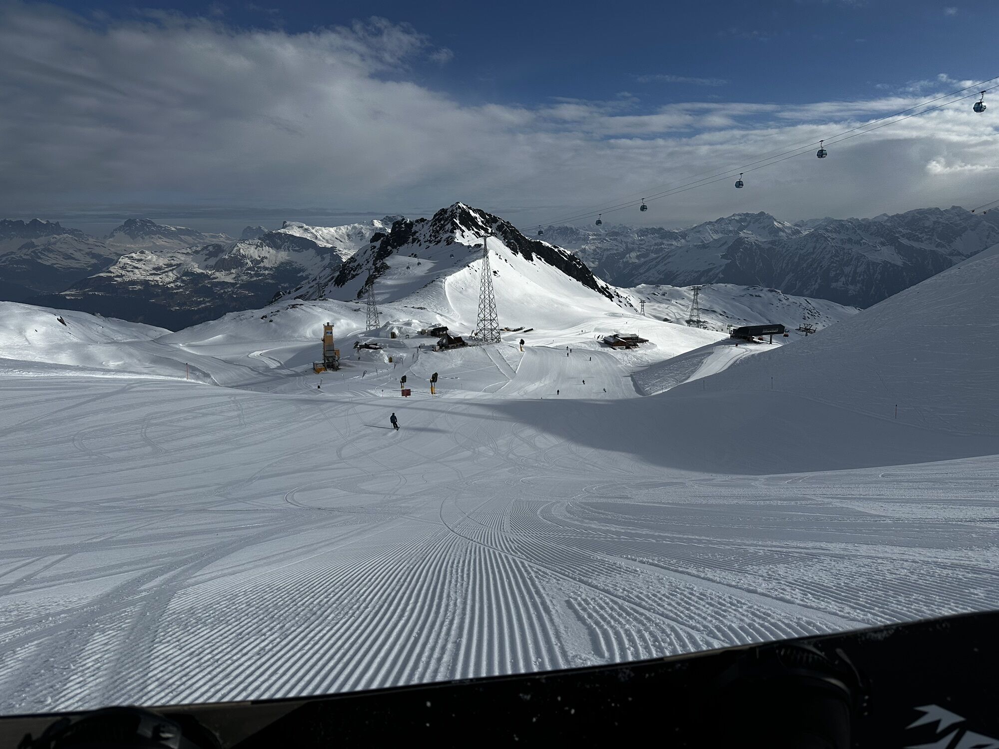
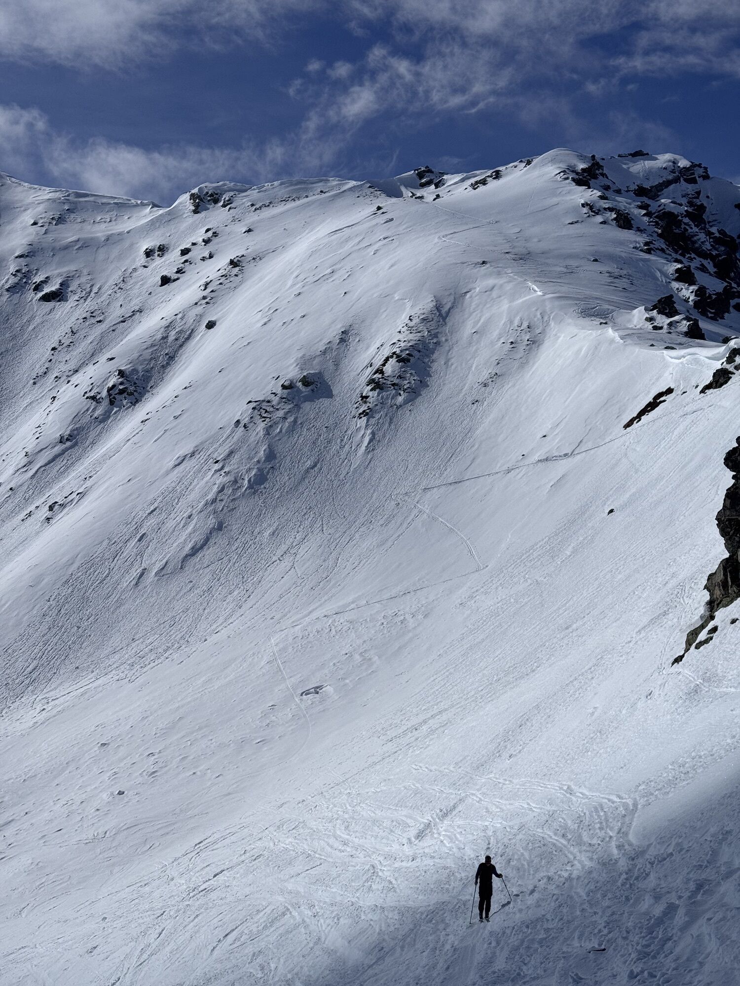
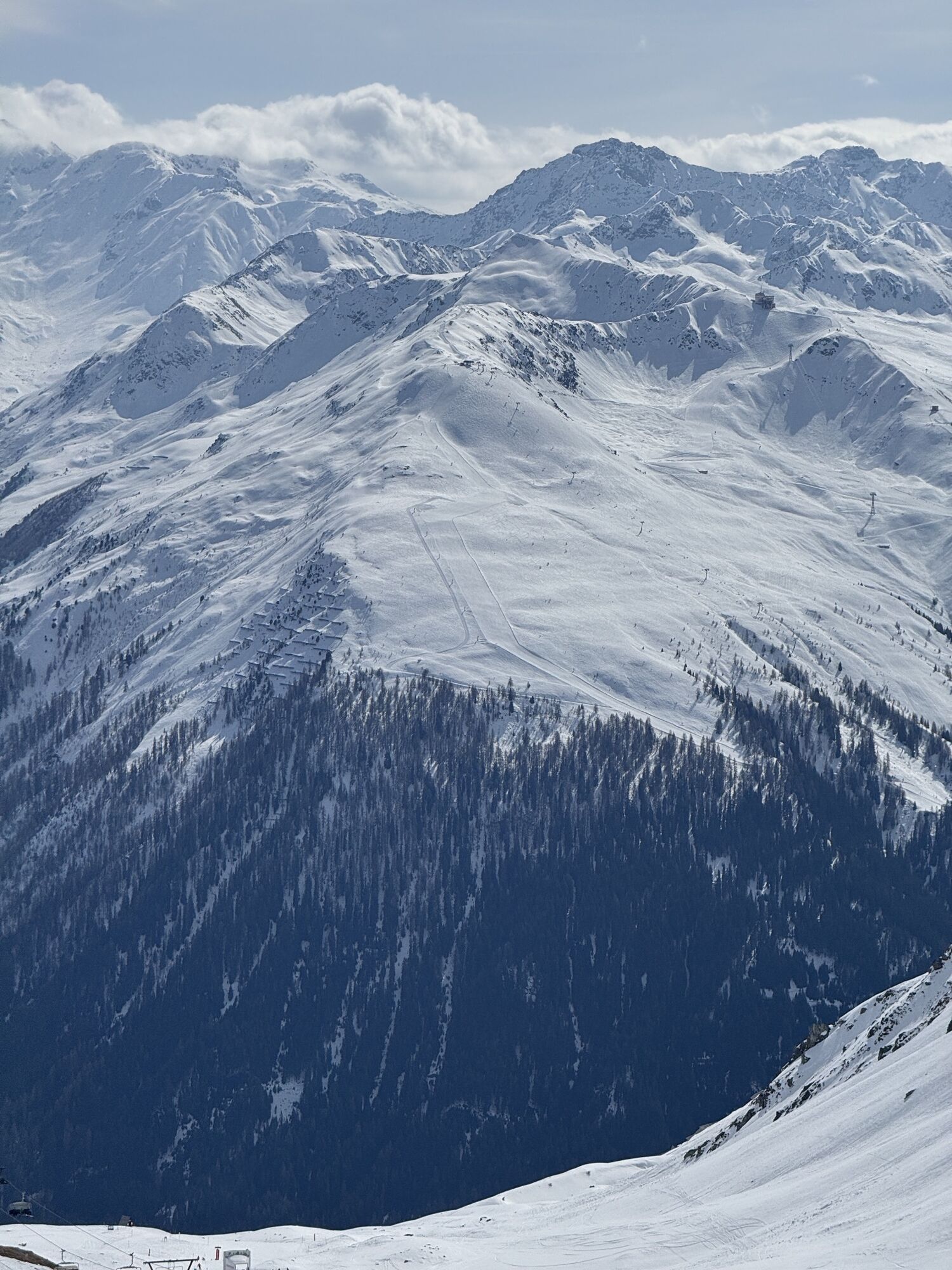
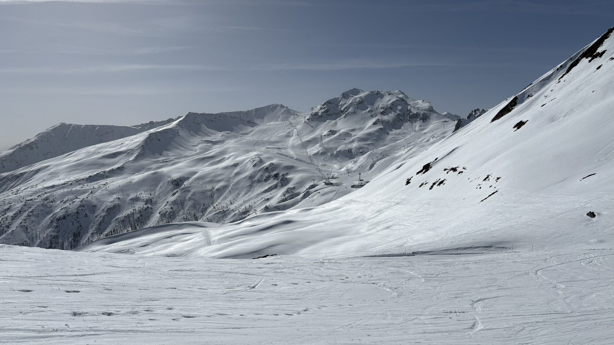
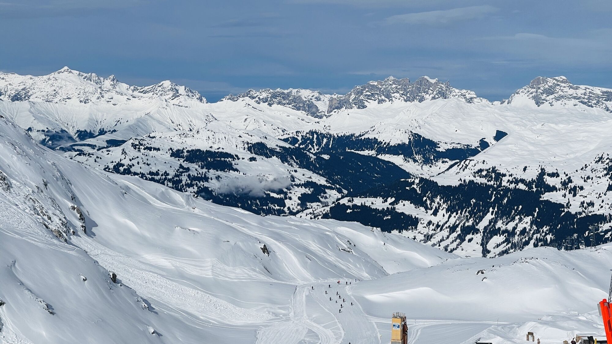
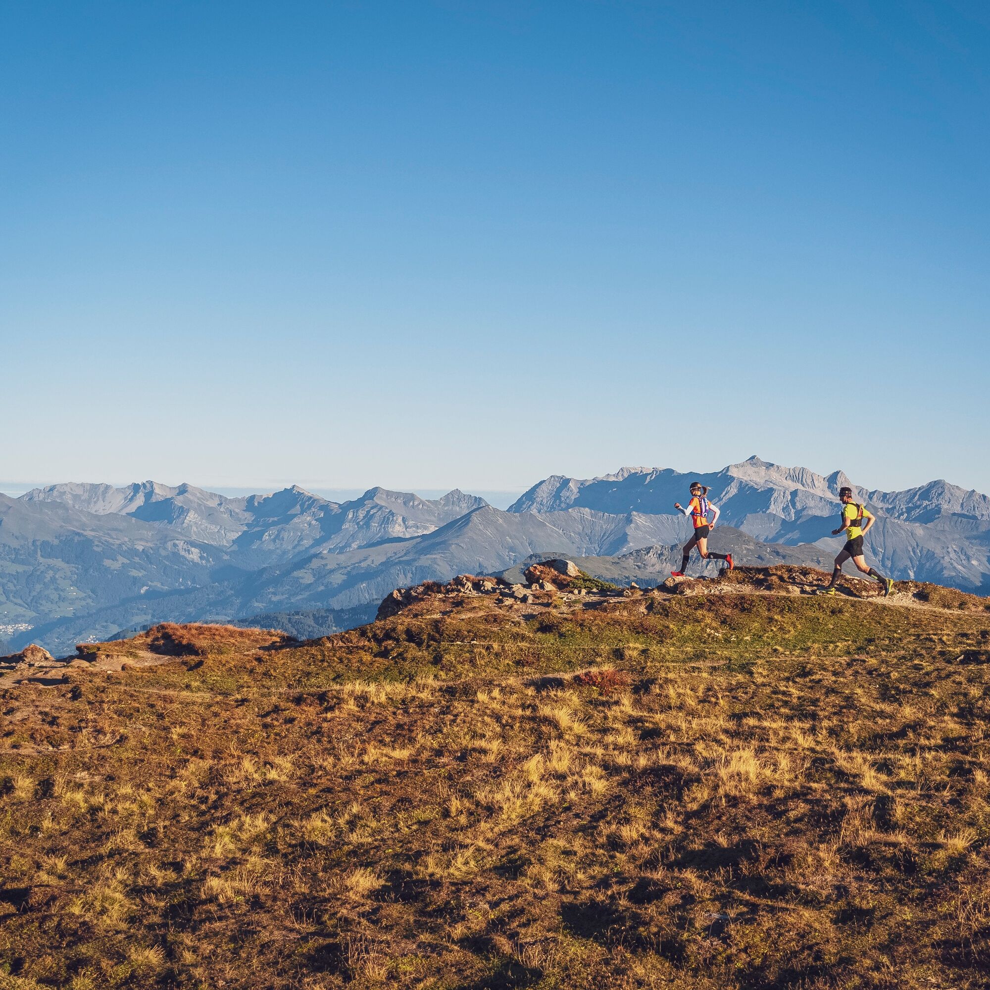
A route with lots of panorama
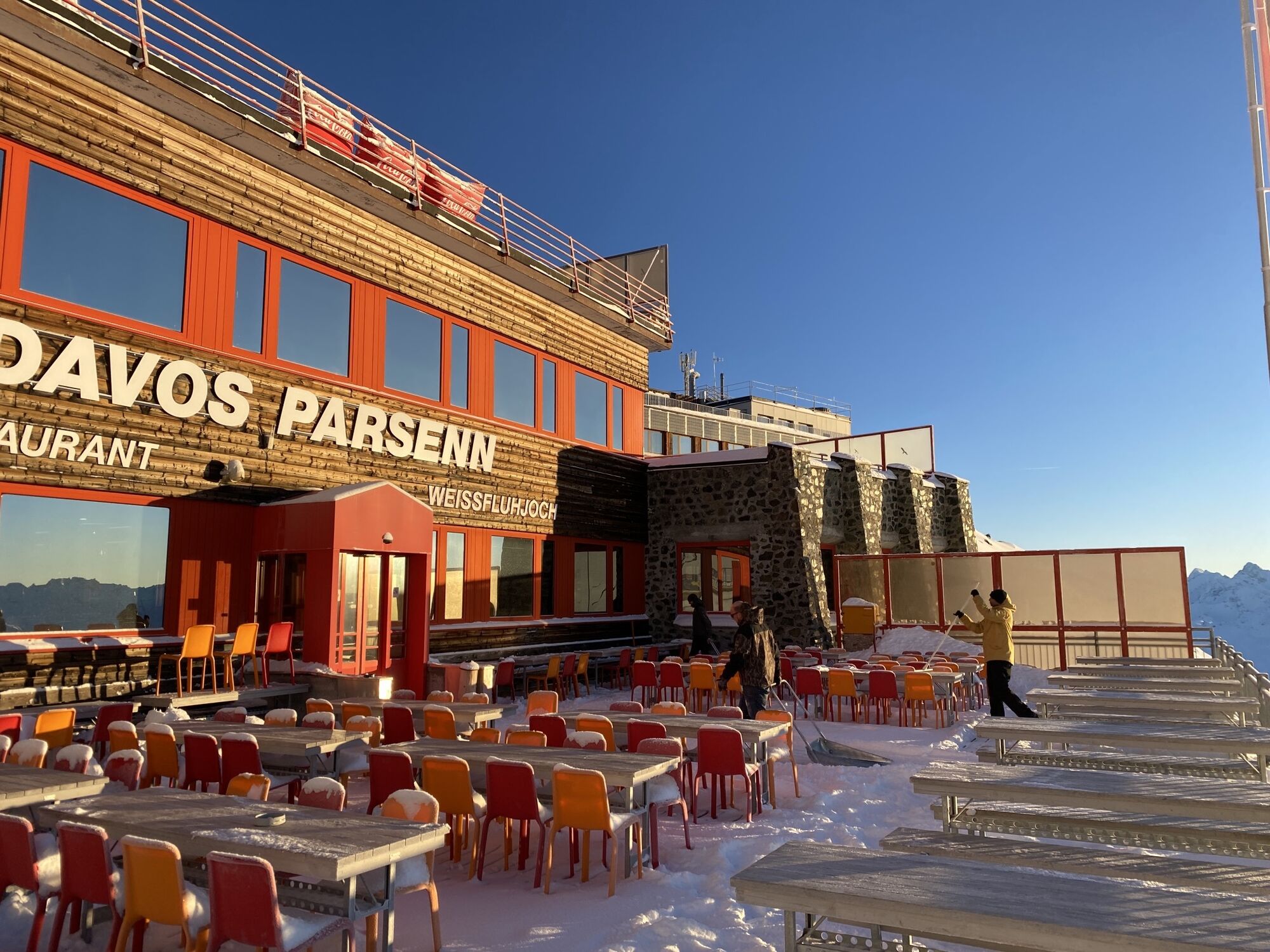
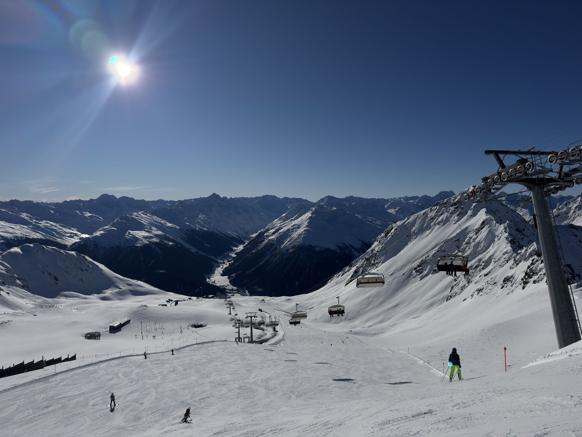
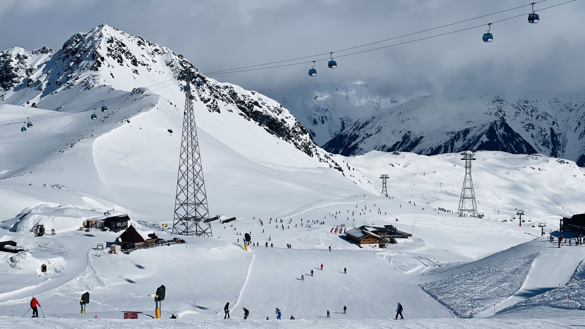
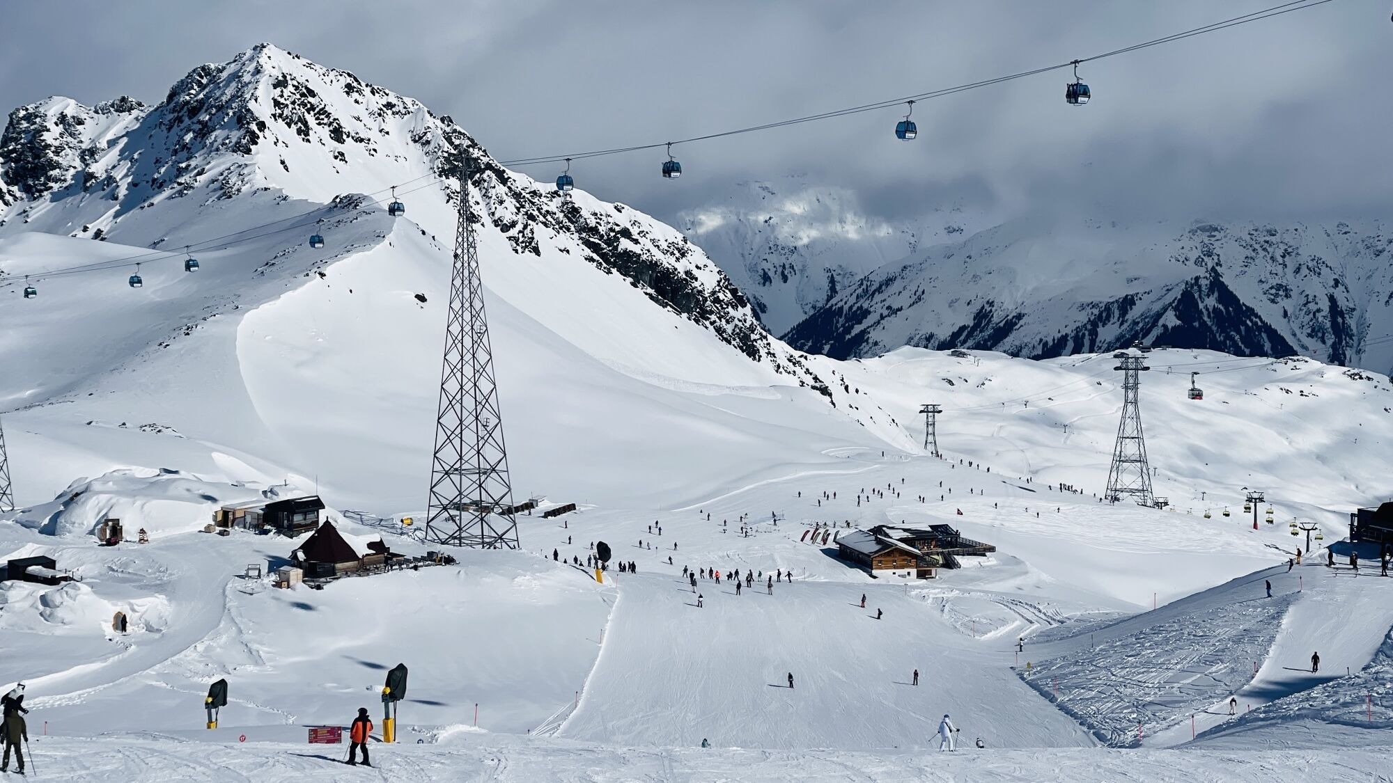
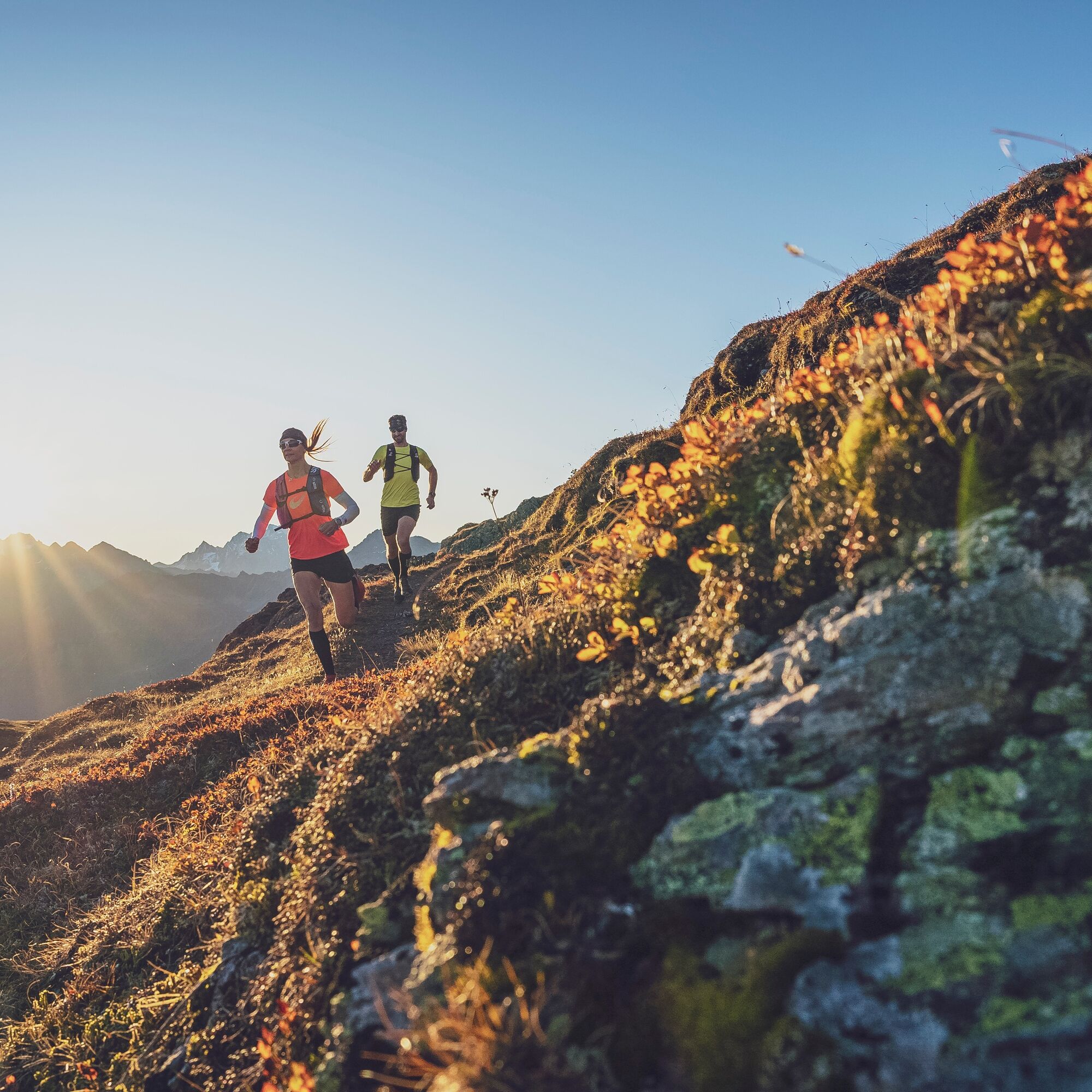
The multi-day tour starts in Davos with the first overnight stay. On the first day, the route leads over the Parsennbahn up to Weissfluhjoch. From there, the adventure starts...
A route with lots of panorama
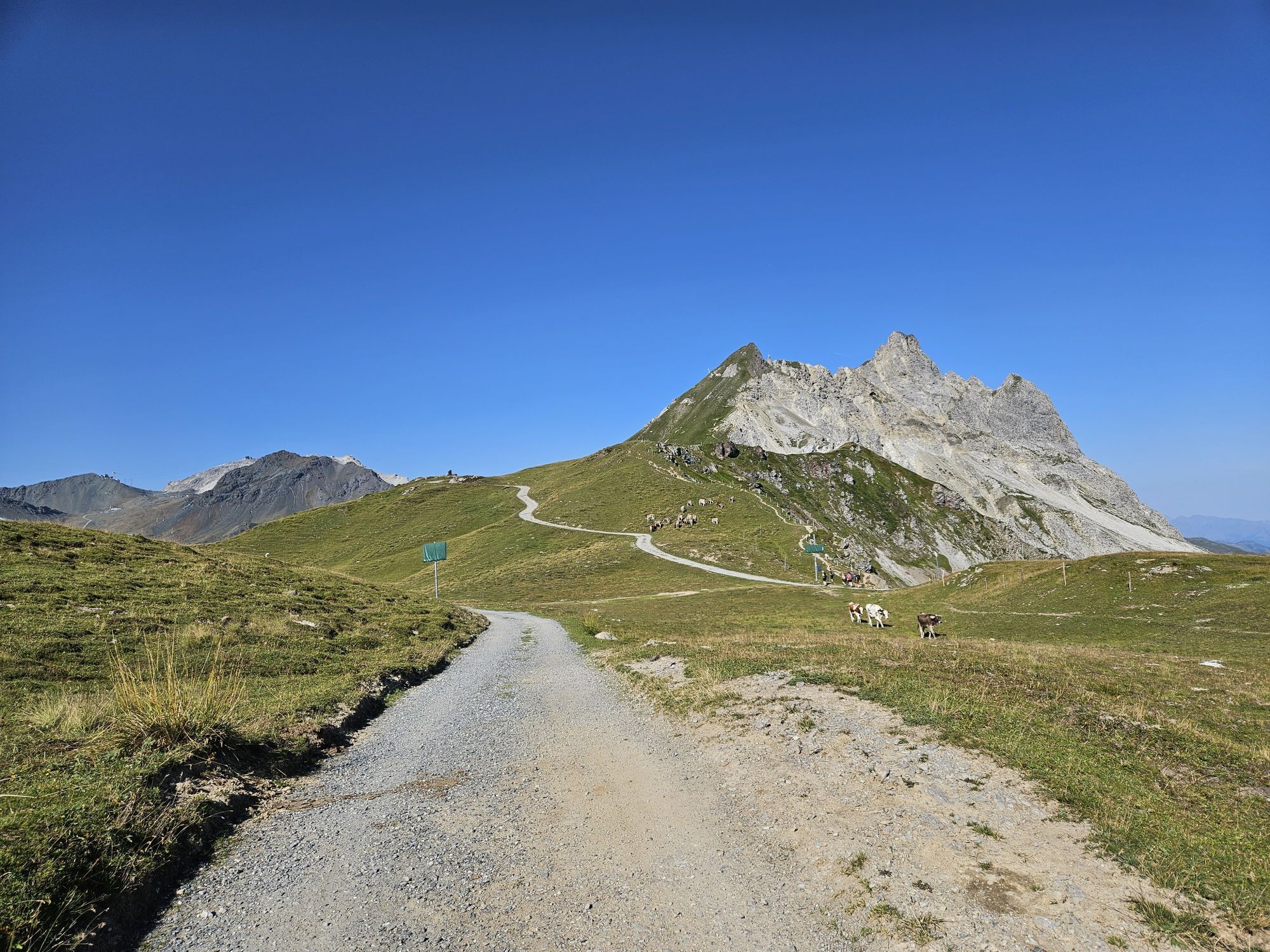
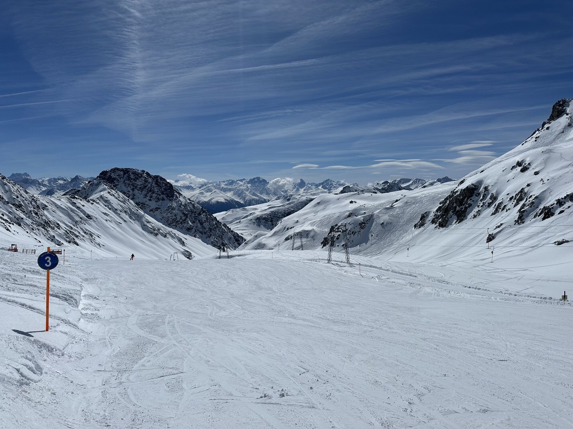
The multi-day tour starts in Davos with the first overnight stay. On the first day, the route leads over the Parsennbahn up to Weissfluhjoch. From there, the adventure starts over the panorama trail towards Gotschna and then further to Klosters.
Length: 17.2 kilometers, duration: 3.5 hours
To the detailed route description of stage 1: Davos - Klosters
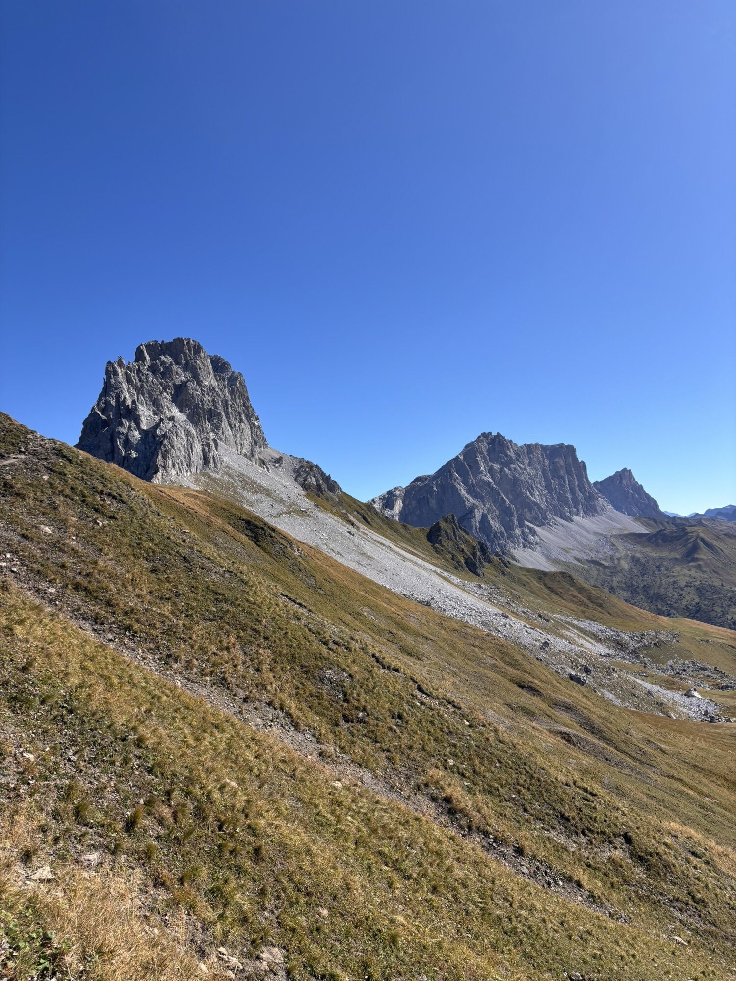
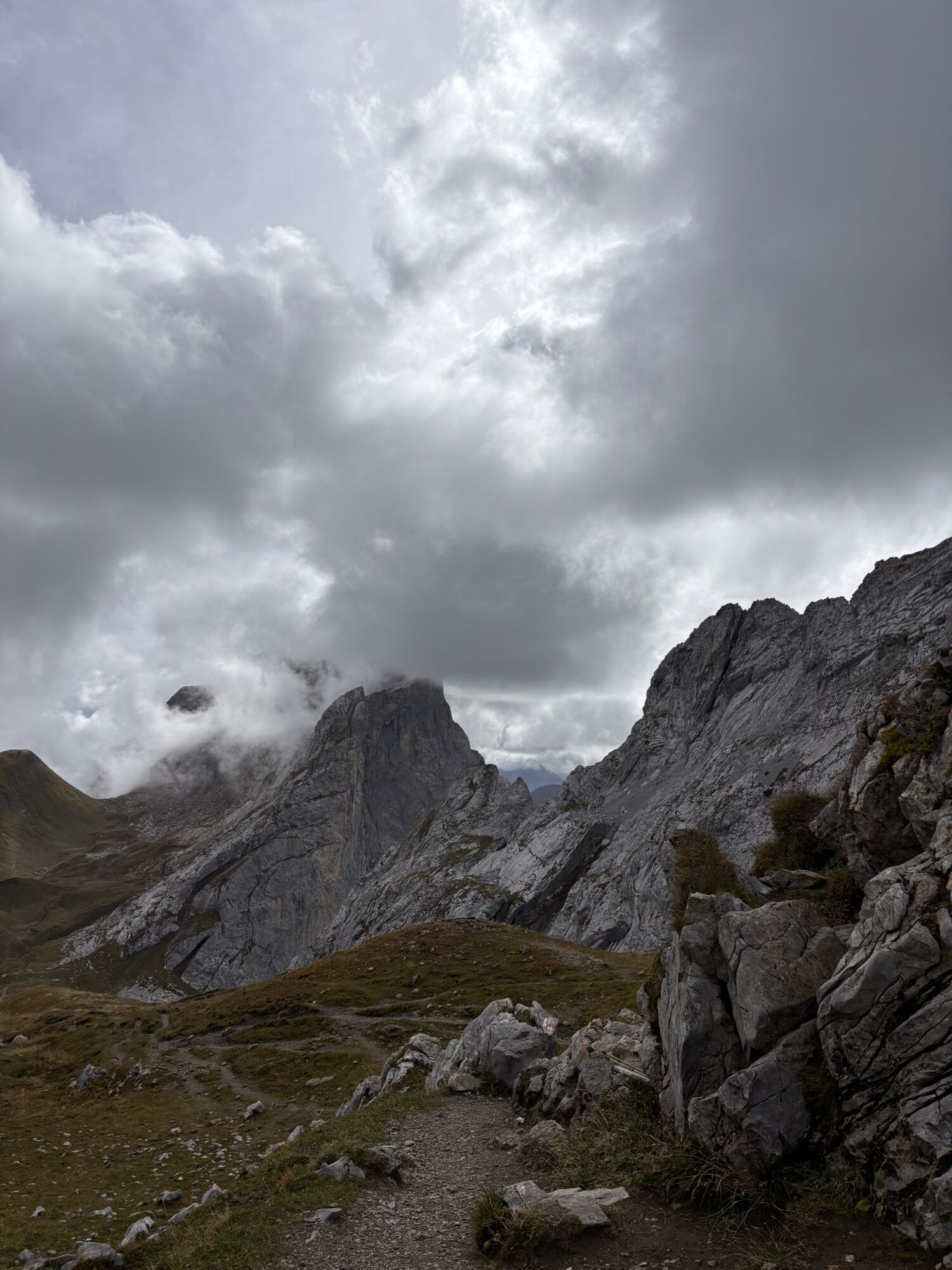
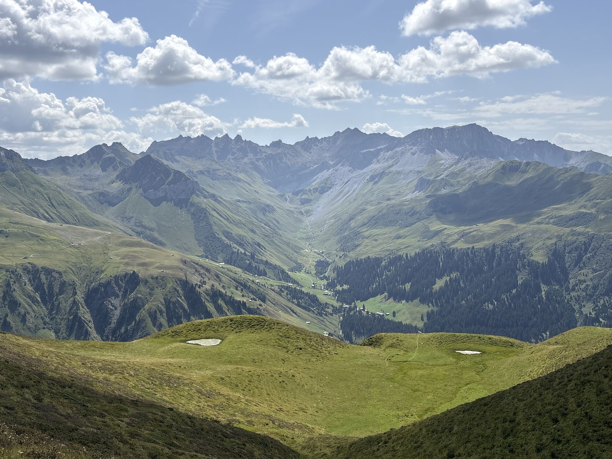
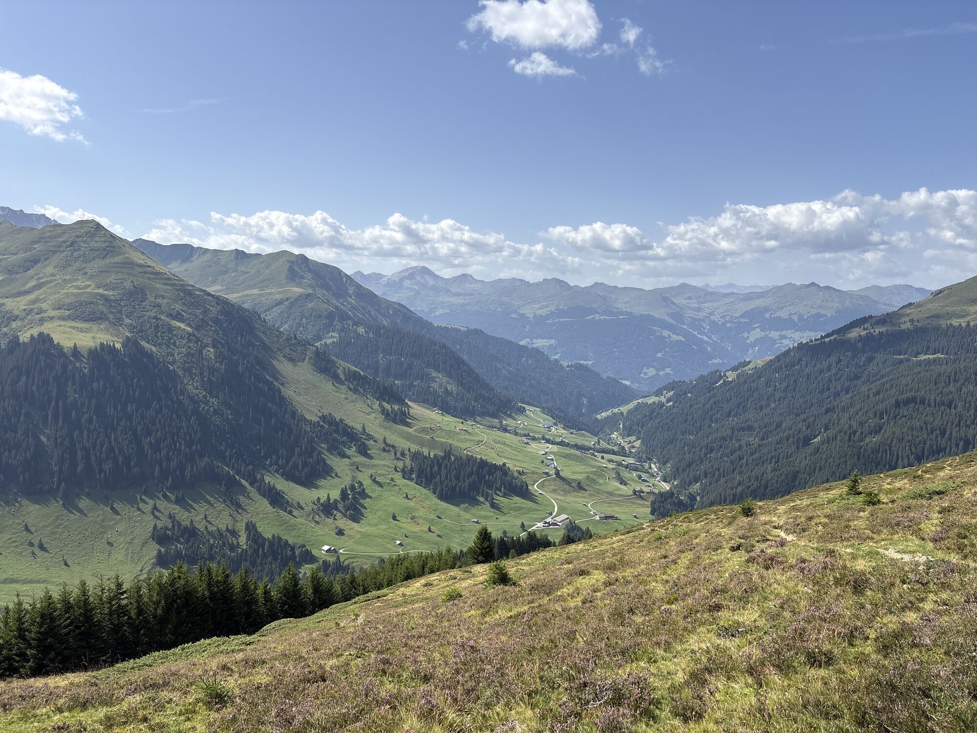
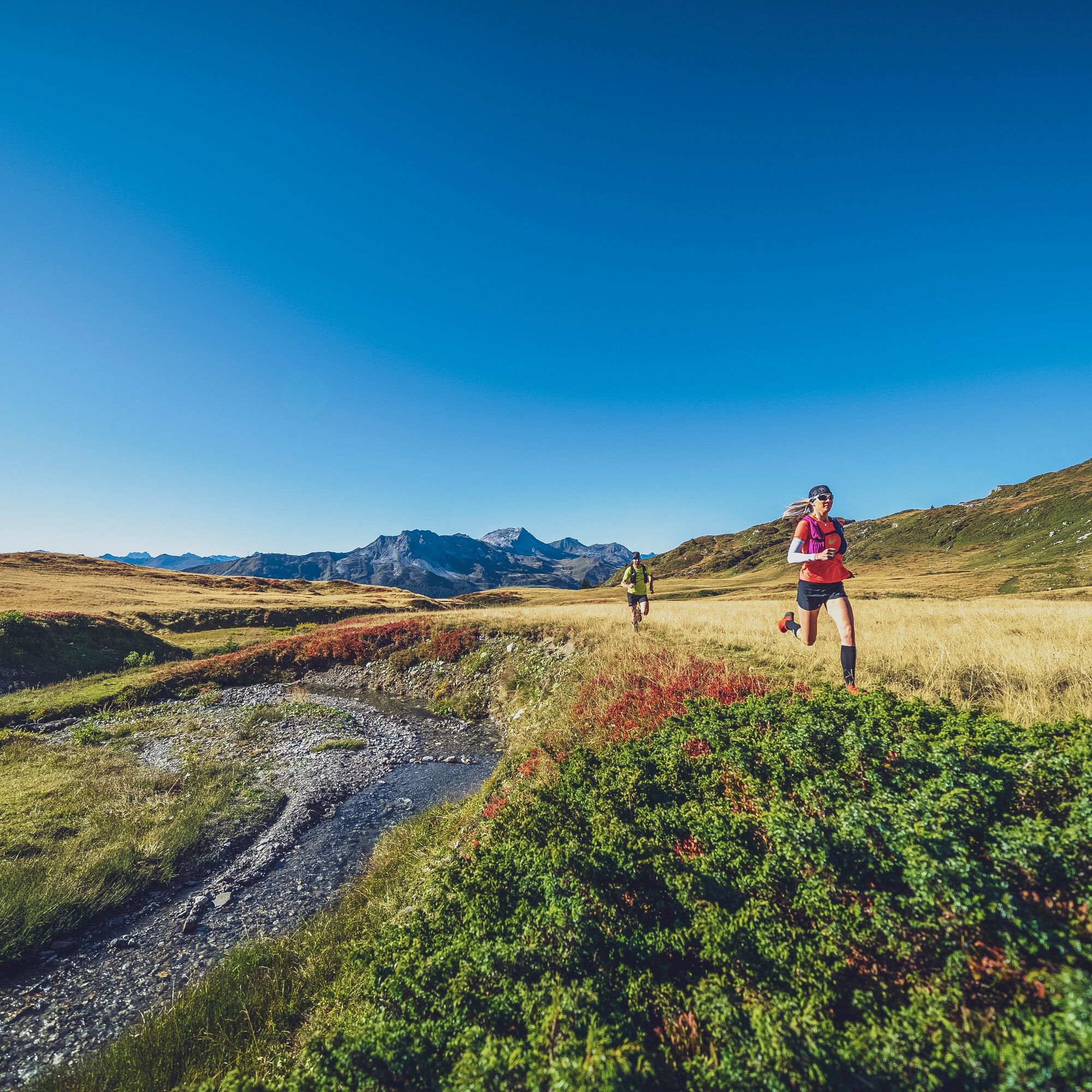
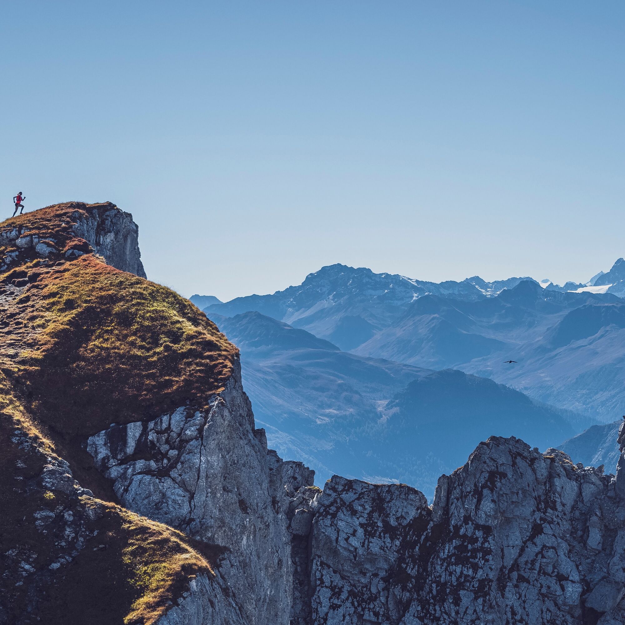
After an overnight stay in Klosters, the second day goes to the Rätikon. The Madrisabahn takes you to the starting point. Right at the start, the trail promises excitement. After the ascent to the peak of this tour, the Rätschenhorn, the route leads to the border of Austria. The ridge run along the border is certainly a highlight and offers the most beautiful views. A day full of variety awaits the trail runners and a restful overnight stay in the Walser village of St. Antönien.
Length: 20.4 kilometers, duration: 4.5 hours
To the detailed route description of stage 2: Klosters - St. Antönien
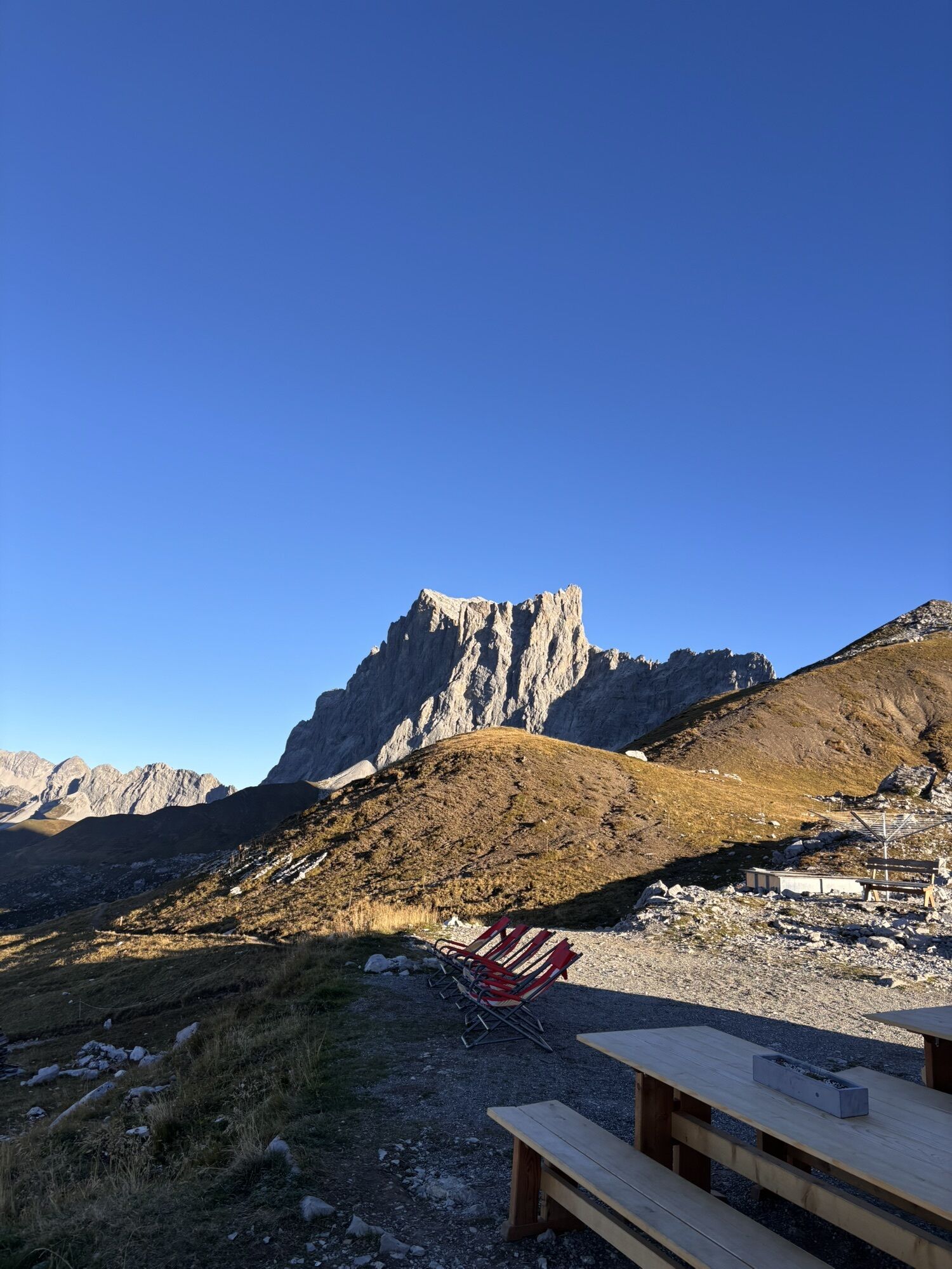
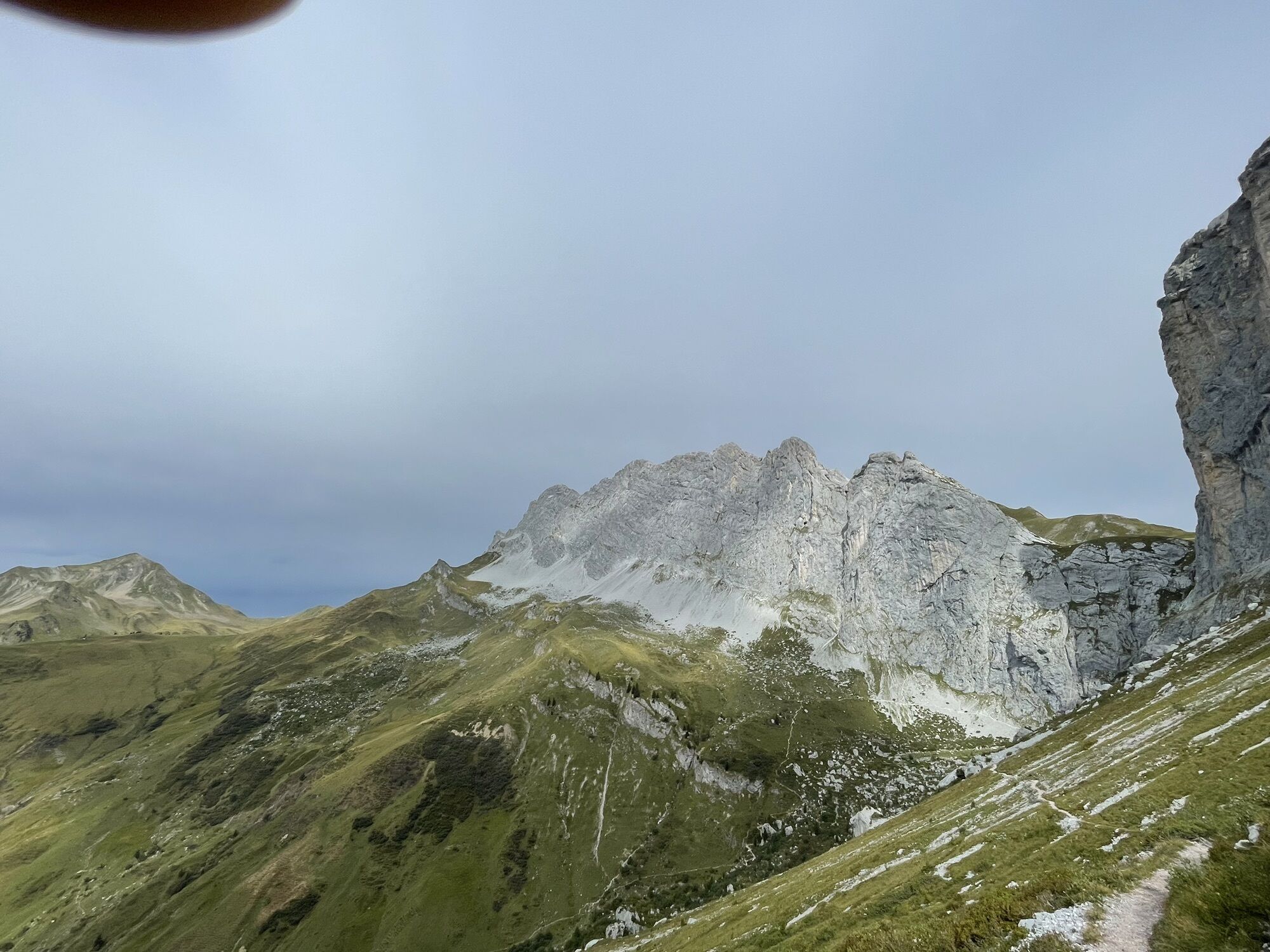
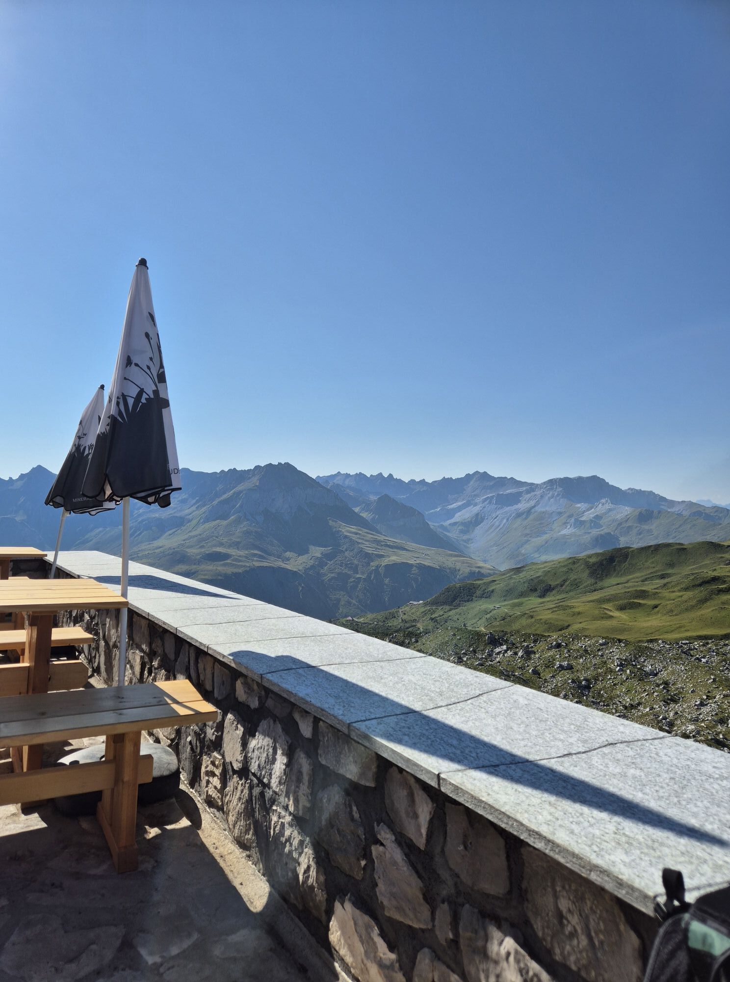
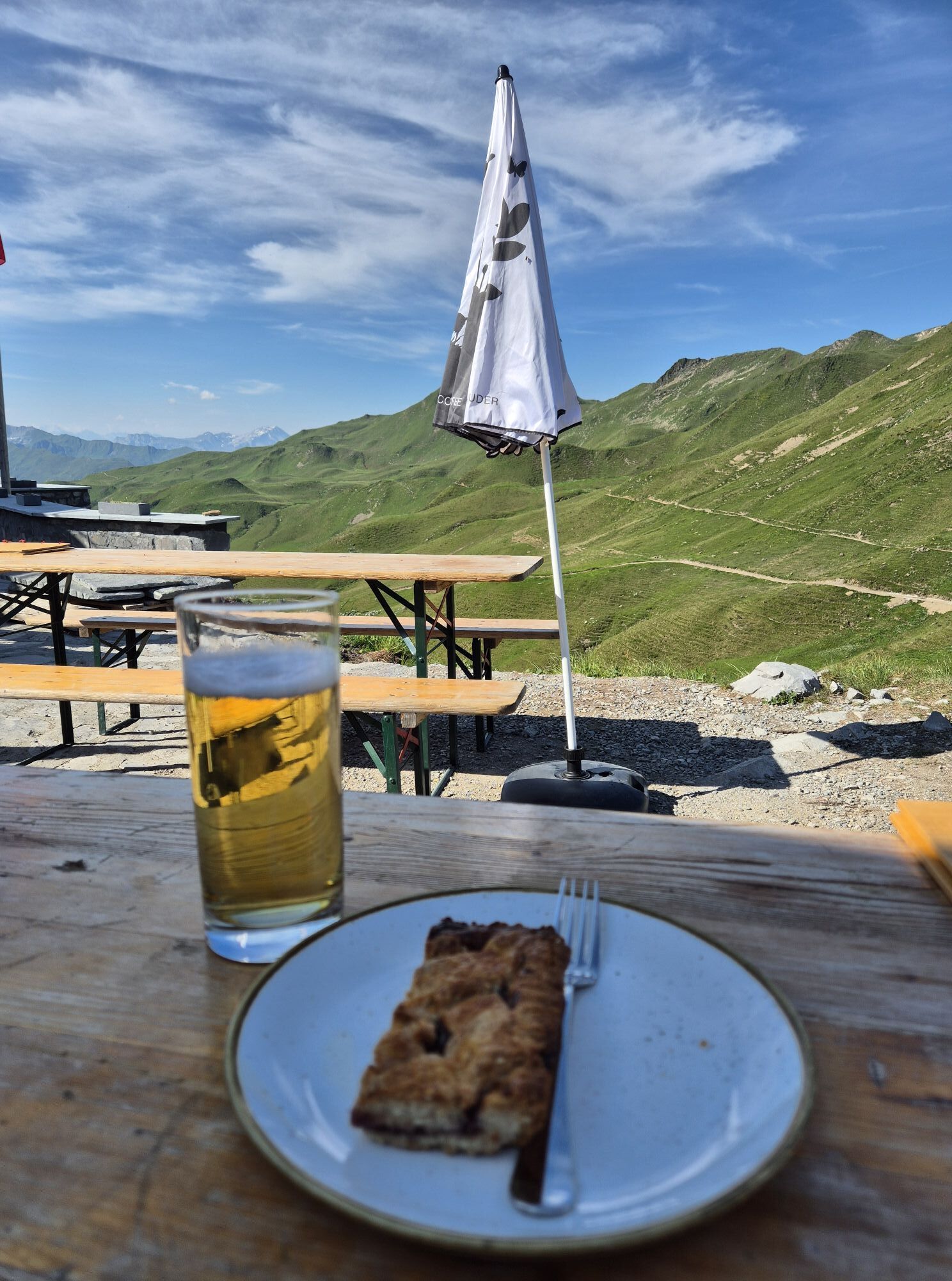
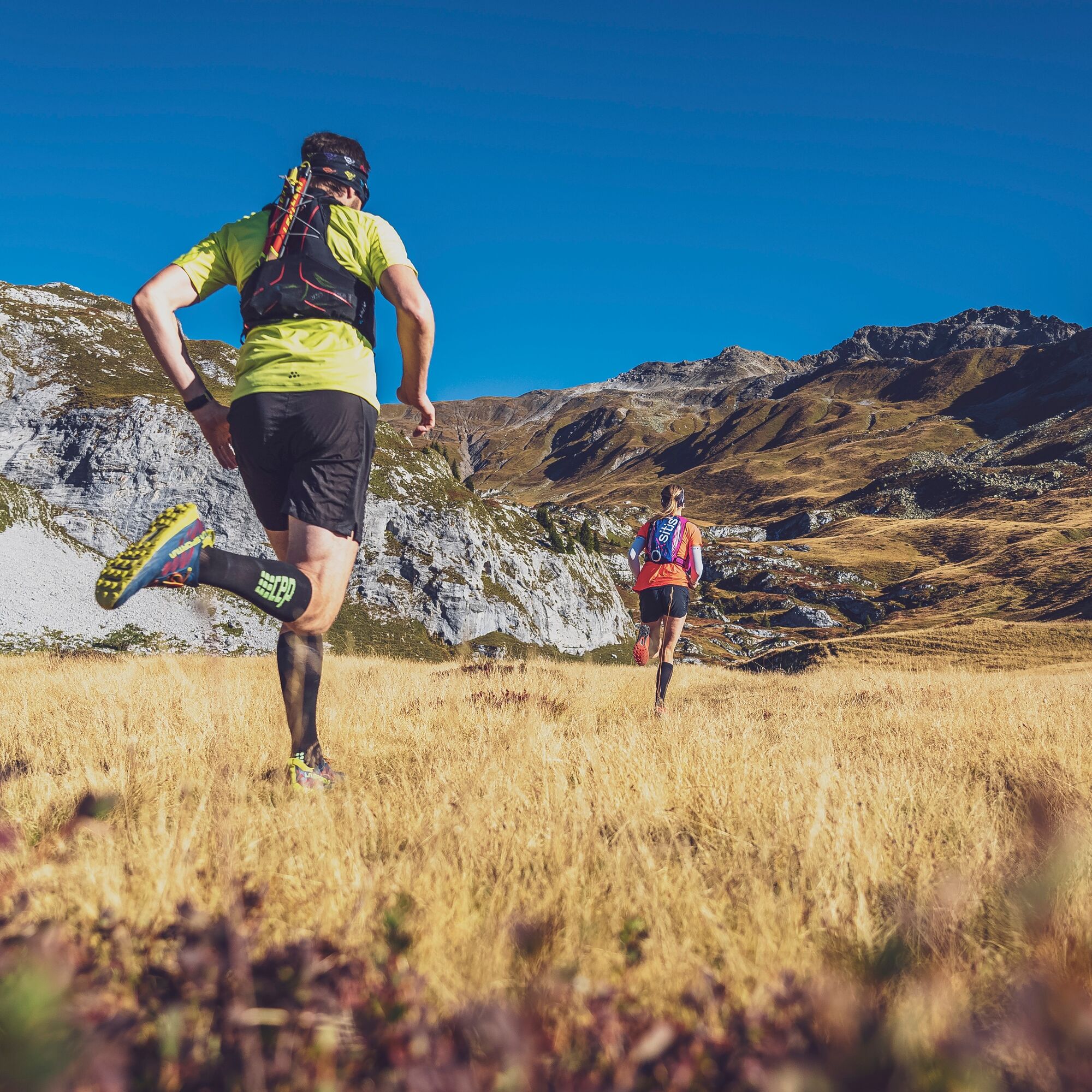
On the last day, the route goes over exciting high-altitude trails along the impressive limestone walls of the Rätikon and a short detour to Austria up to the top station of the Fanas cable car. After a relaxed finale on the terrace of the Berghaus Sassauna, the cable car takes the guests back down to the valley.
Length: 29.3 kilometers, duration: 6.5 hours
To the detailed route description of stage 3: St. Antönien - Fanas

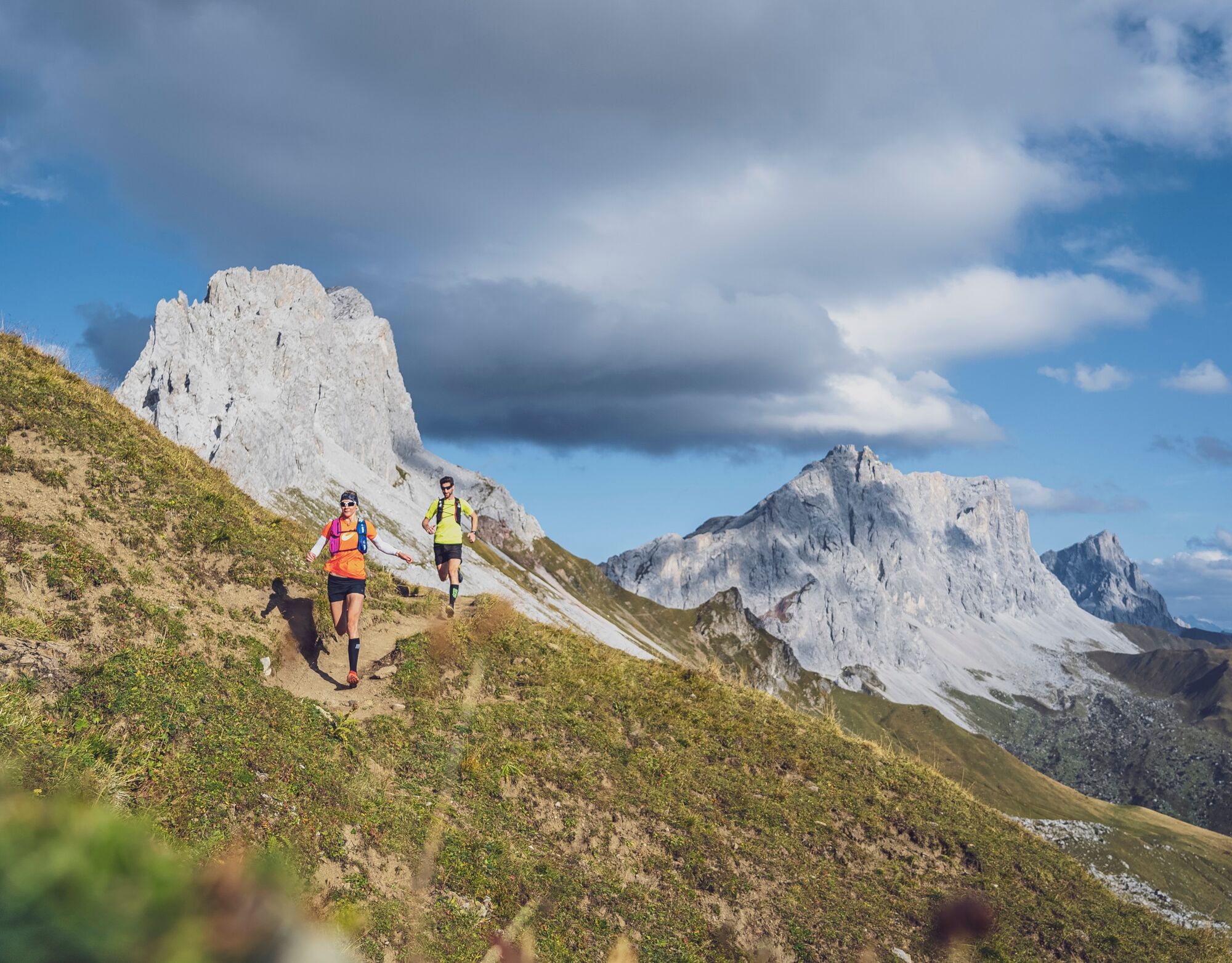
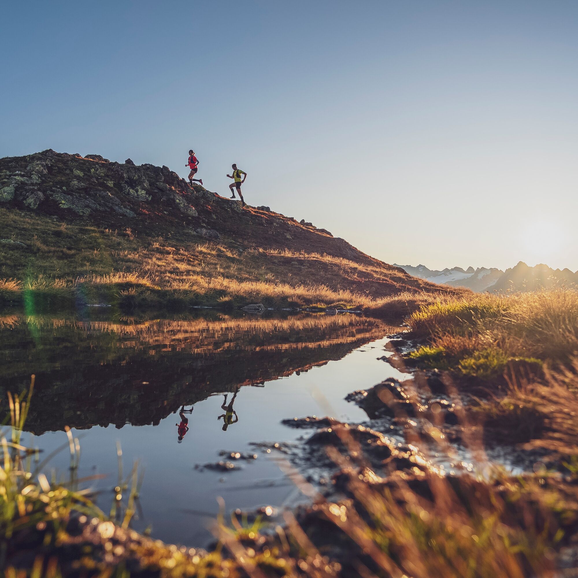
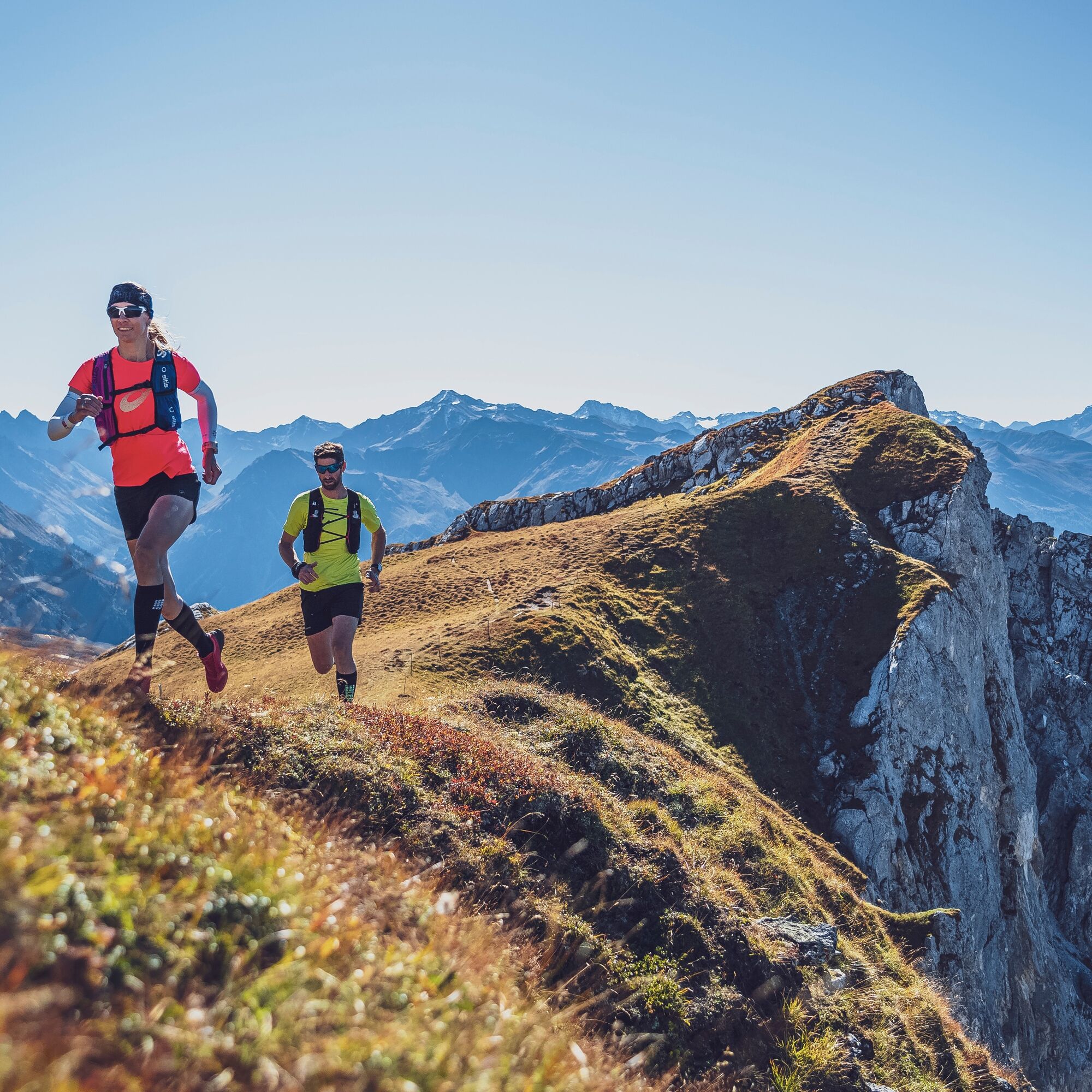
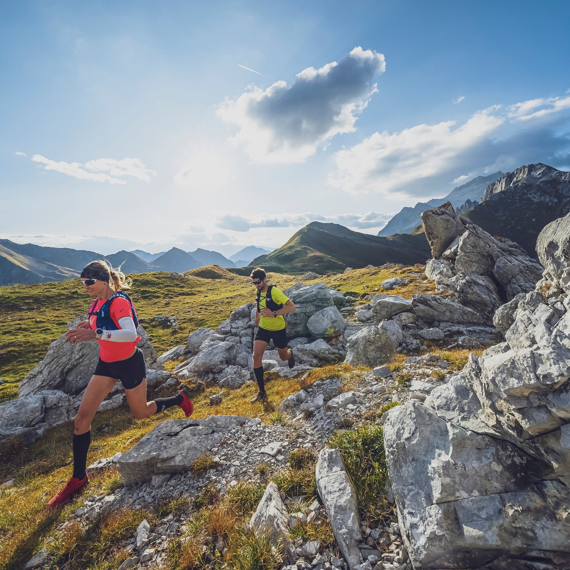
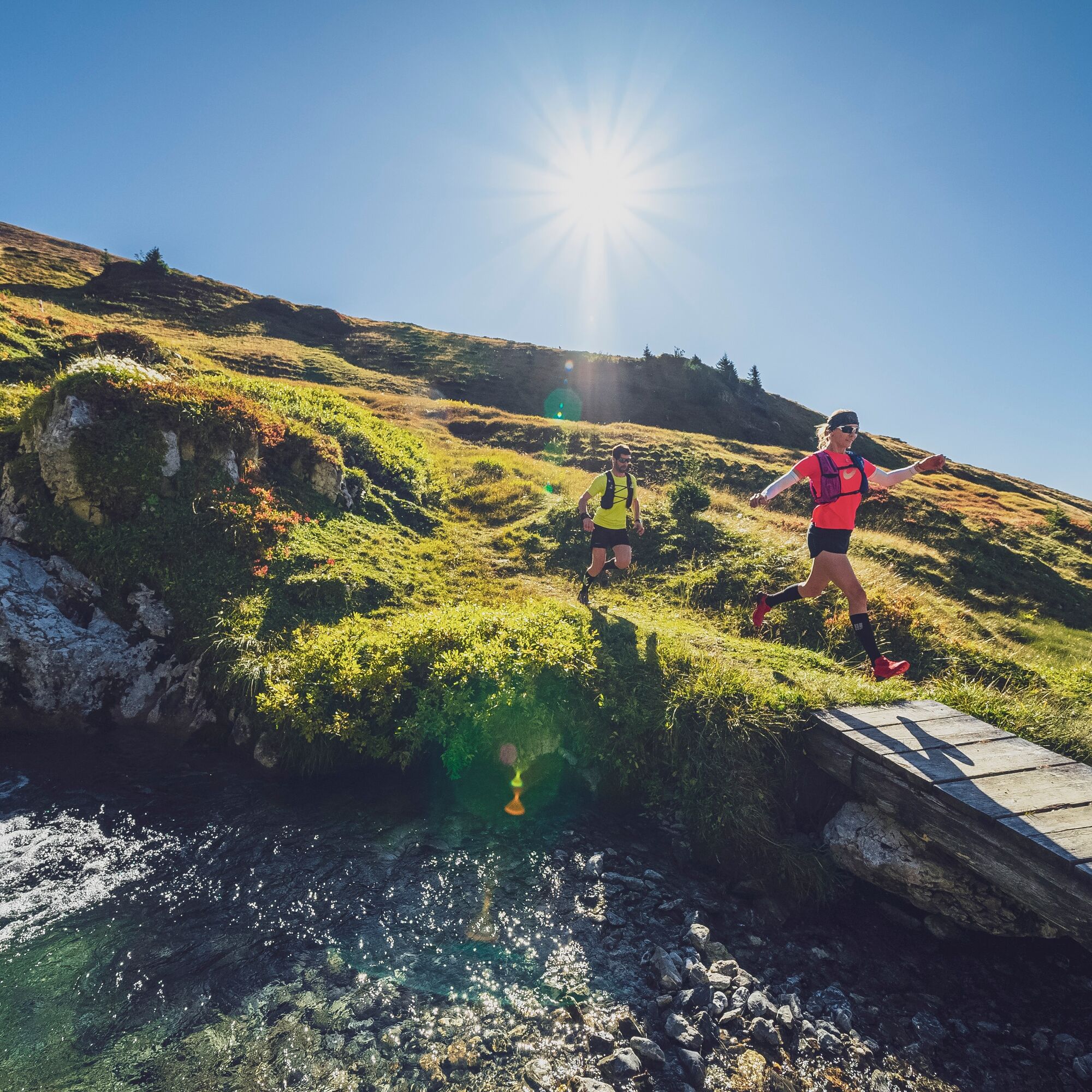

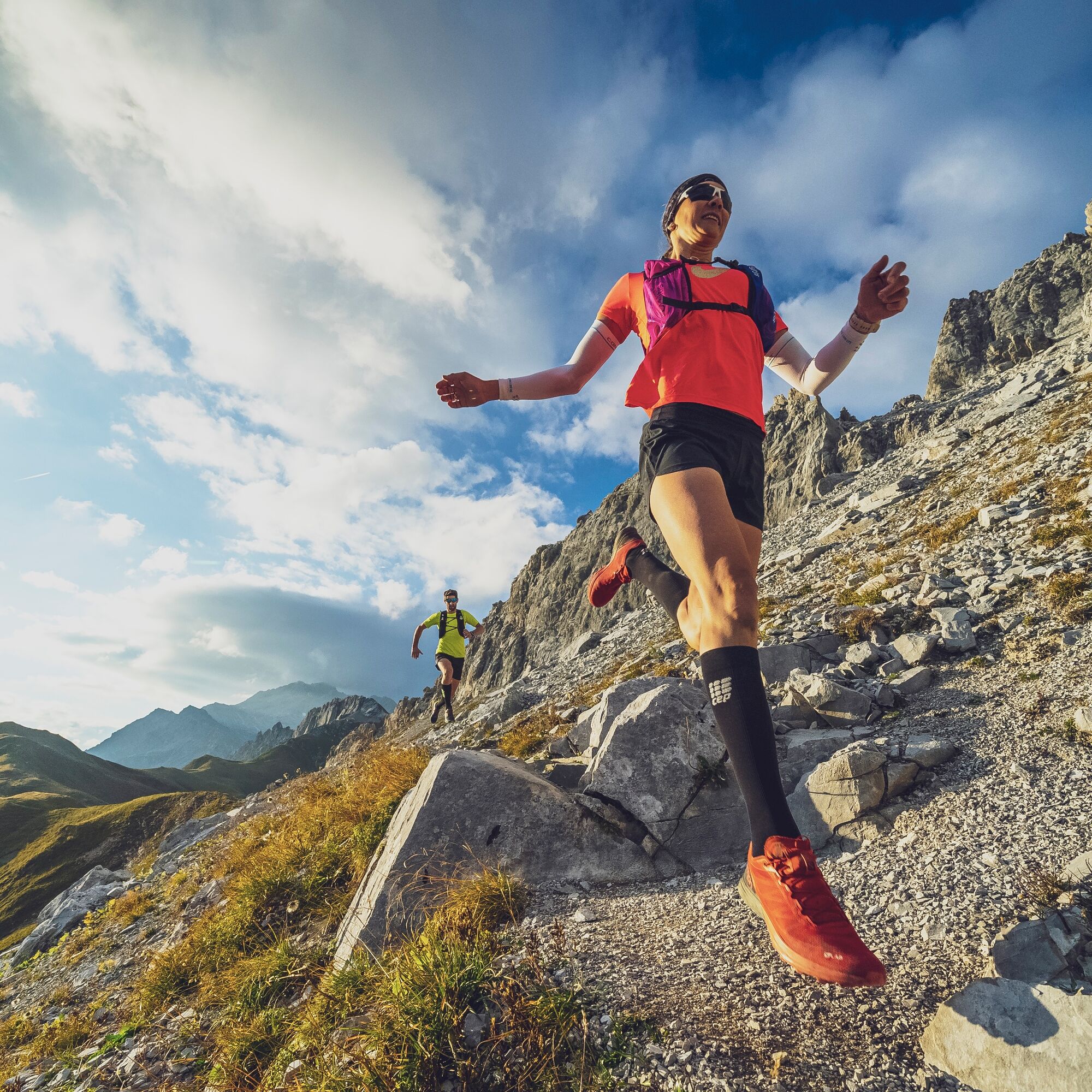
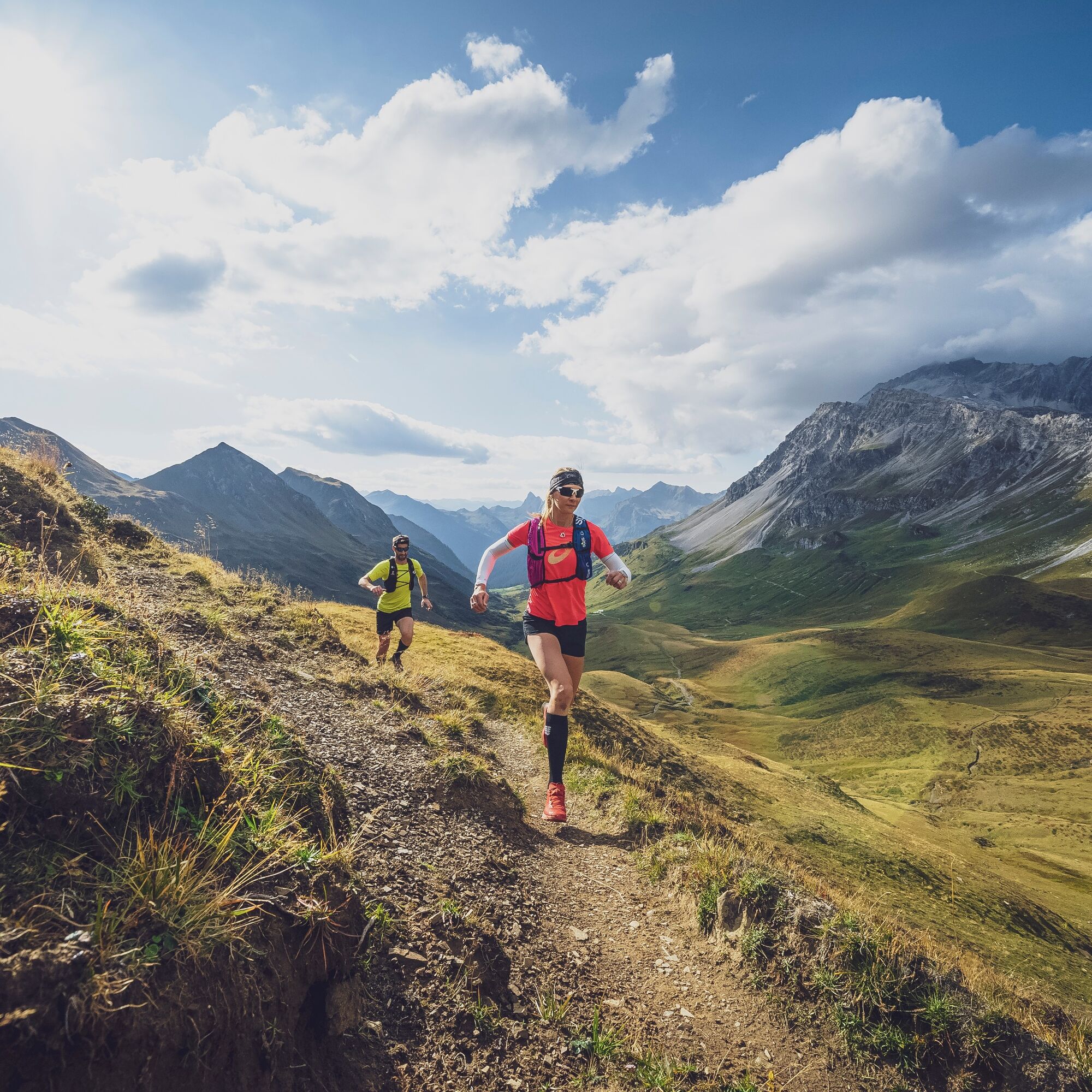
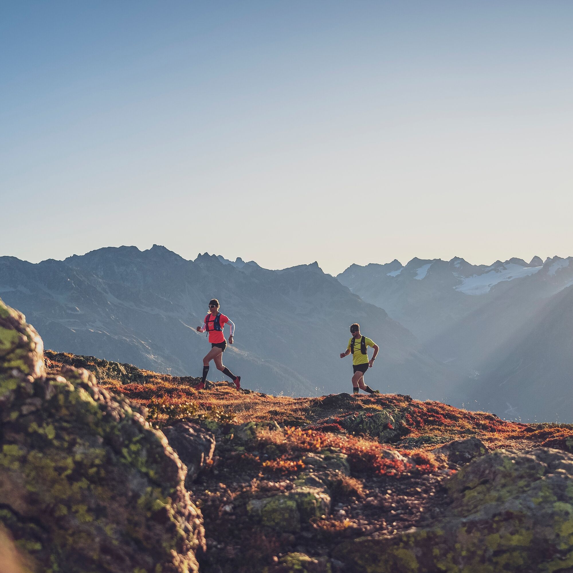

1st stage: Davos Dorf - Parsennbahn - Weissfluhjoch - Parsennfurgga - Grünhorn - Gotschnagrat - Schwendi - Klosters Platz
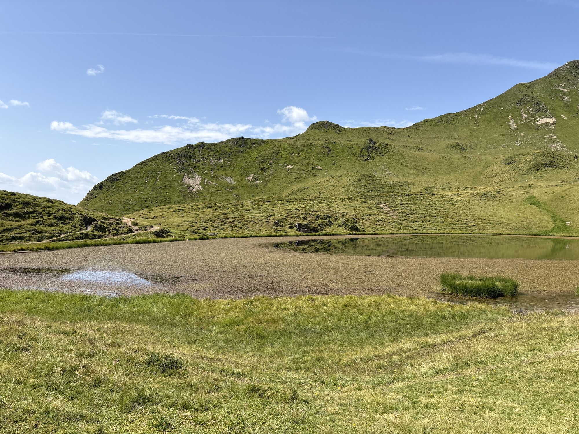
2nd stage: Klosters Platz - Klosters Dorf - Madrisabahn - Bergstation Madrisa - Saaser Calanda - Rätschenhorn - Rätschenjoch - Gafier Joch - Gafiersee - St. Antönier Joch - St. Antönien
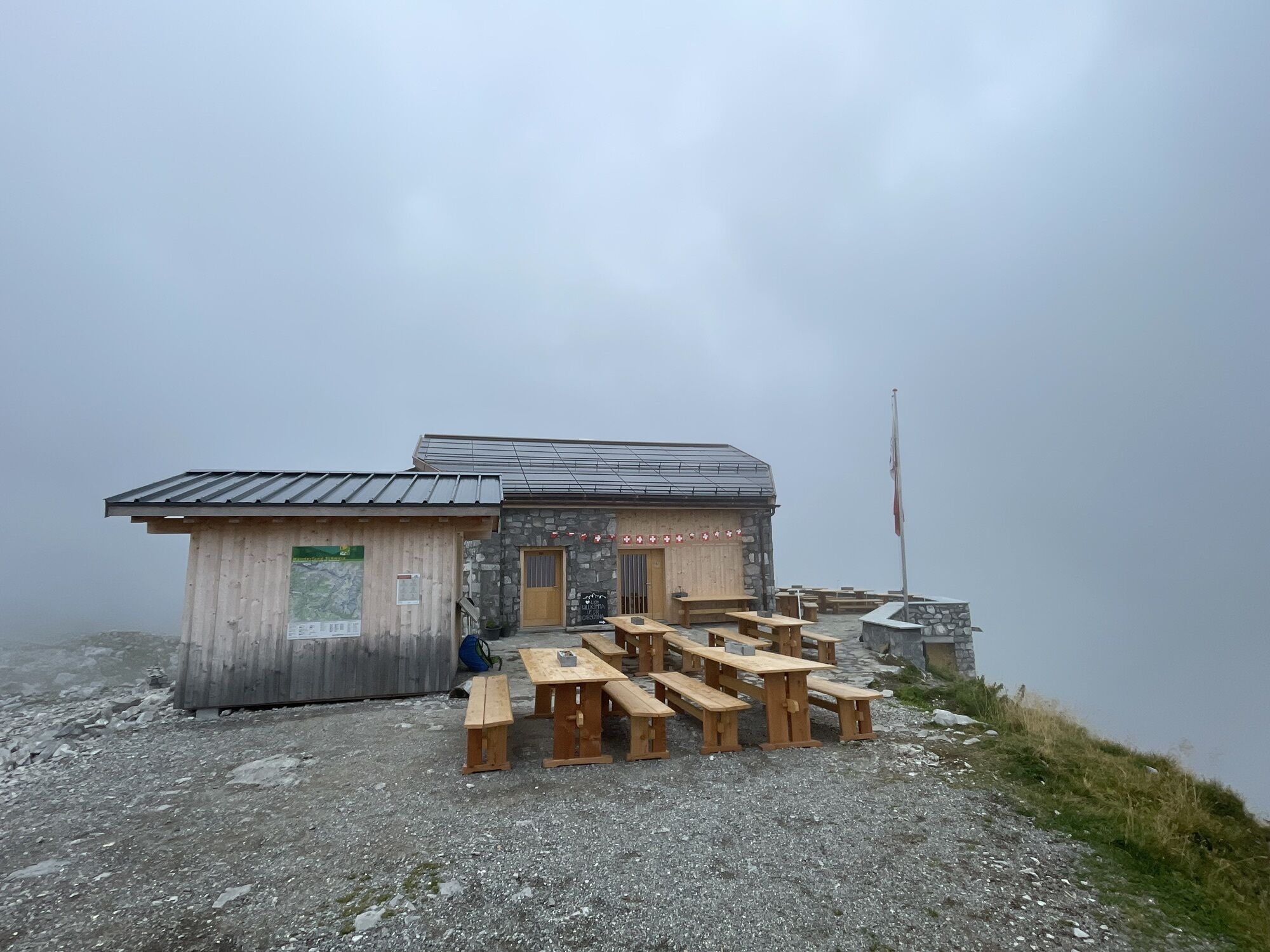
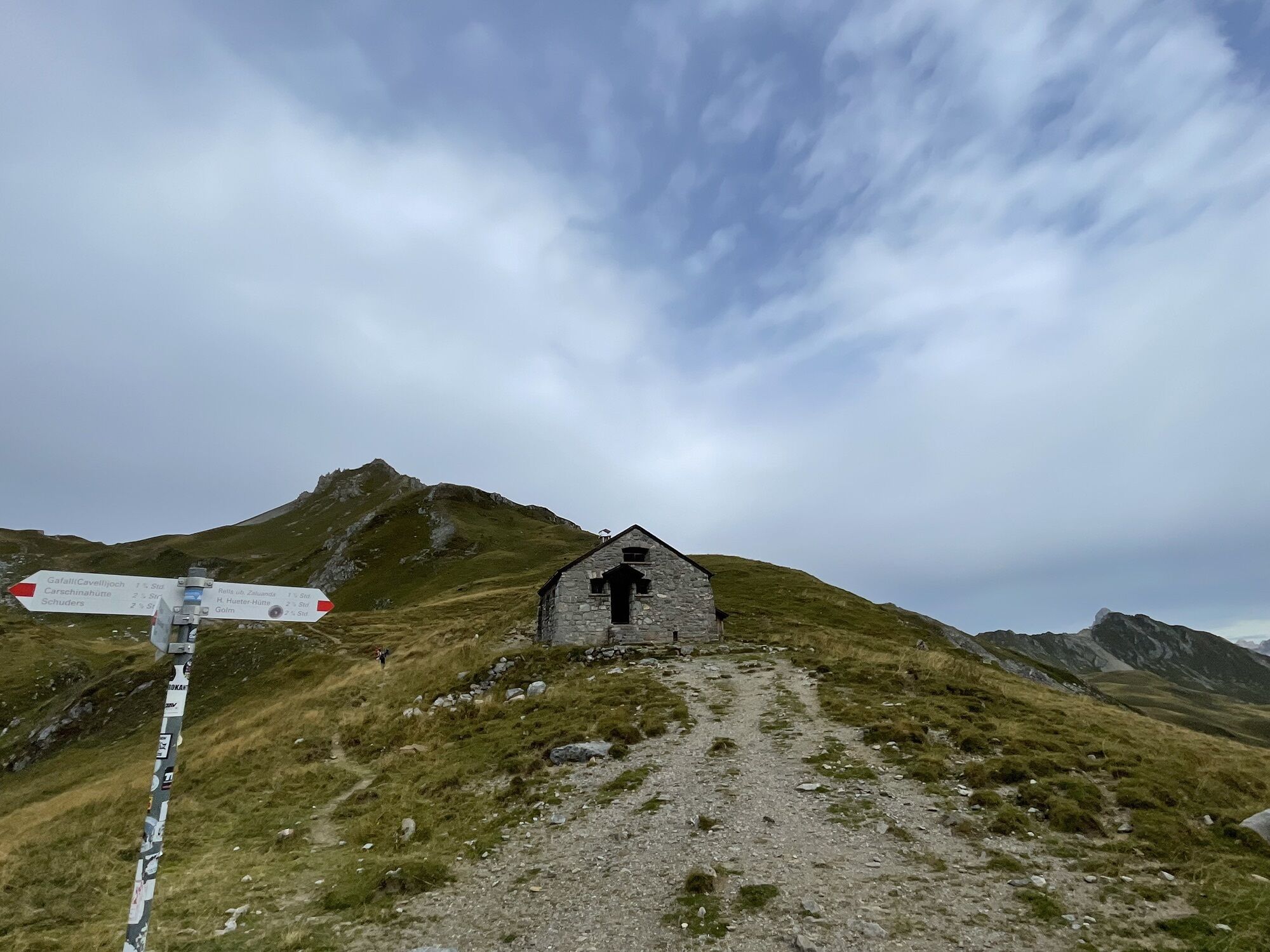
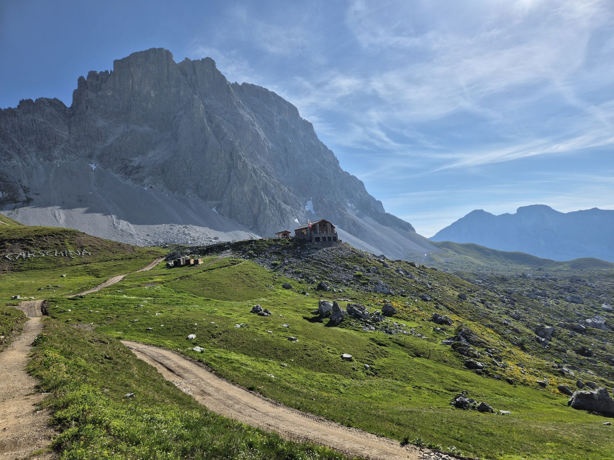
3rd stage: St. Antönien - Carschinasee - Carschinahütte - Schweizer Tor - Verajoch - Cavelljoch - Golrosa - Vordersäss (Pt. 1699) - Luderer Egg (Pt. 2015) - Eggli - Seilbahn Fanas - Fanas
Áno
Áno
Suitable trail running shoes, backpack with drink (water or energy drink), food (bars, gels or maybe a sandwich with local mountain cheese and Bündnerfleisch?), wind jacket, mobile phone and emergency kit.
The route is suitable for trail runners who already have experience. You will have a multi-day experience with lots of variety combined with a spectacular mountain world. Surefootedness and fitness are required.
Coming from Zurich / St. Margrethen, exit the A13/E43 motorway at Landquart towards Landquart, Davos, Vereina. Drive on the national road A28 to Davos.
Take the Swiss Federal Railways (SBB) to Landquart, then change to the Rhaetian Railway (RhB) towards Davos.
It is recommended to use the parking lots at Landquart or Schiers train station and then continue by Rhaetian Railway to Davos Dorf.
Discover more trails in Prättigau or in Davos Klosters.
From St. Antönien, use the Alpine Bus (reservation required) to the "Bärgli" and save yourself 700 meters of elevation!
Webové kamery z prehliadky
-
Weissfluhjoch
-
Davos / Schweizerische Alpine Mittelschule
-
Sportzentrum Klosters
-
Hotel Schatzalp Davos
-
Bolgen
-
Davos Sertig / Walserhuus
-
Bergstation Schatzalp-Bahn
-
Schatzalp - Sommerrodelbahn
-
Strela Berg
-
Strela Pass - Davos
-
Strela Pass - Davos
-
Davos Platz
-
Bergstation Sassauna - Fanas
-
Davos / Schweizerische Alpine Mittelschule
-
Davos / Schweizerische Alpine Mittelschule
-
Davos / Schweizerische Alpine Mittelschule
-
Davos / Schweizerische Alpine Mittelschule
-
Sportzentrum Klosters
-
Gargellen - Haus Gadafent
-
Davosersee
-
Davosersee
-
Davosersee
-
Weissfluhjoch
-
Weissfluhjoch
-
Weissfluhjoch
-
Weissfluhjoch
-
Madrisa Bergstation / Kinderland
-
Madrisa Bergstation / Kinderland
-
Madrisa Bergstation / Kinderland
-
Madrisa Bergstation / Kinderland
-
Madrisa Bergstation / Kinderland
-
Golm - Rätikonbahn
-
Davosersee
-
Restaurant Schatzalp
-
Monbiel Parkplatz
-
Monbiel Parkplatz
-
Monbiel Parkplatz
-
Monbiel Parkplatz
-
Madrisaland
-
Madrisaland

Obľúbené výlety v okolí
-
4,7
Douglashütte - Schesaplana
strednáTuristika 7,31 km -
4,4
Golmerbahn Bergstaion Grüneck - Golmer Höhenweg - Geißspitze - Lindauer Hütte - Latschau
strednáTuristika 11,5 km -
4,8
Douglasshütte, Lünersee, Gafalljoch Brand bei Bludenz, Vorarlberg
svetloTuristika 9,16 km -
4,9
Alpgues Runde
strednáTuristika 9,21 km -
4,9
Sulzfluh via ferrata, St. Antönien
ťažkéVia ferrata 11,3 km -
4,8
Schesaplana
strednáVysoké turné 5,26 km -
3,0
Bergstation Grüneck Golmerbahn - Alpe Latschätz - Lindauer Hütte - Latschau
svetloTuristika 11,1 km -
4,7
Lünerseebahn Talstation - Douglasshütte - Lünerkrinne - Südl. Schafgafall
ťažkéTuristika 9,11 km -
4,3
Vandans - Heinrich Hueter Hütte über Gipsköpfle
svetloTuristika 7,97 km -
4,7
Lünerseebahn Bergstation - Lünersee Alpe - Douglasshütte
strednáTrailrunning 6,10 km
Turistika a stopovanie


Nenechajte si ujsť ponuky a inšpiráciu na ďalšiu dovolenku
Vaša e-mailová adresa bol pridaný do poštového zoznamu.





