







4-Viaduct hike
The circular hike starts at Filisur station and leads through meadows, forests, and over the 89-meter-high viaduct to Wiesen station. The return route follows the valley floor and passes between the impressive...
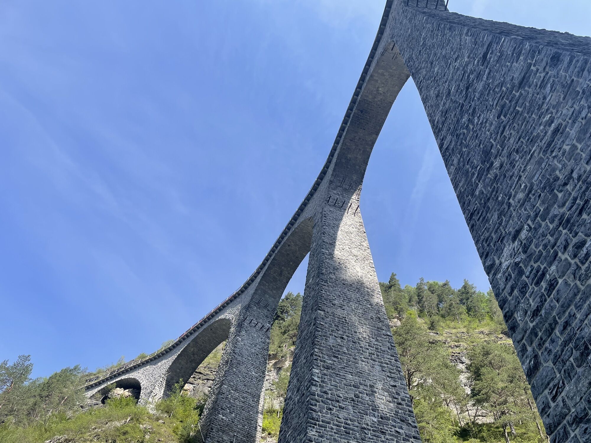
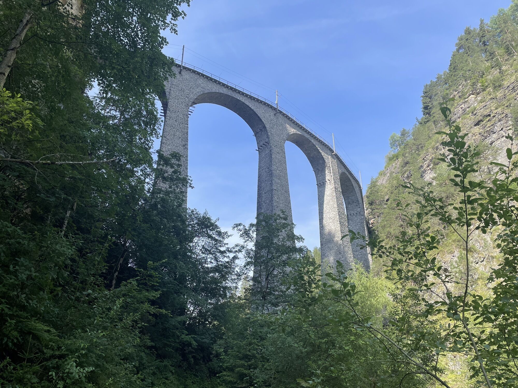
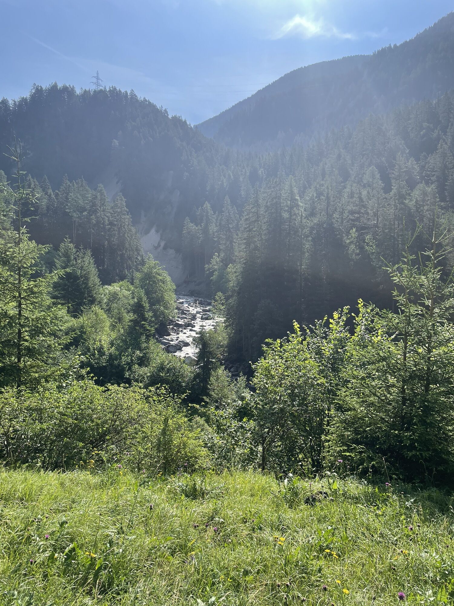
The circular hike starts at Filisur station and leads through meadows, forests, and over the 89-meter-high viaduct to Wiesen station. The return route follows the valley floor and passes between the impressive pillars of the Landwasser Viaduct back to the starting point.
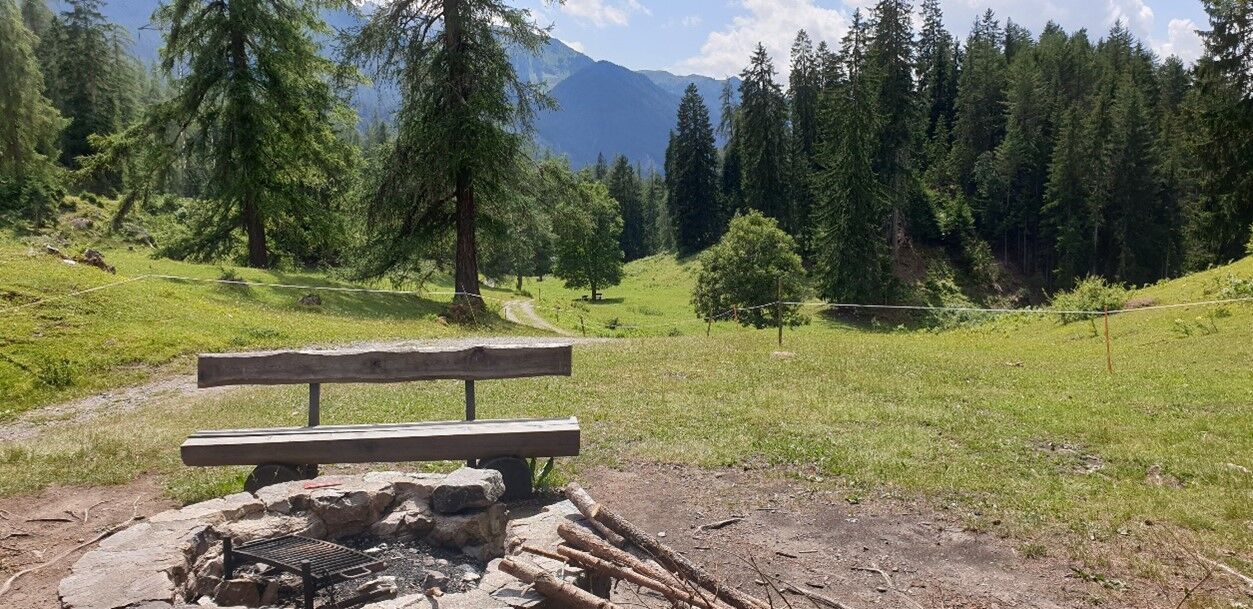


From Filisur station (hourly connecting trains from Chur, Davos, Engadin), the "Bahnhofstrasse" leads about 300 m first gently downhill to the intersection and then right to the railway underpass. Afterwards, follow this paved road along the railway line to Davos until "Schönboden" (section about 45 min, 3 km). Ideal spot for the first break with a magnificent view of the village of Schmitten, the Albula Valley, and the Landwasser Valley.
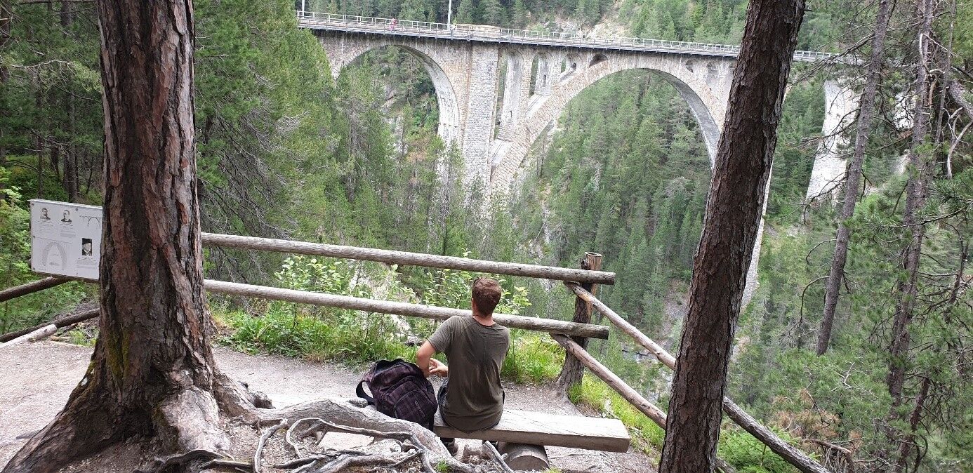
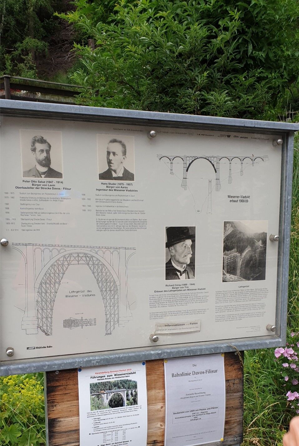
From "Schönboden", a light forest hiking trail passes the Cavja Viaduct and along the steep slopes of Piz Muchetta to the viewing platform of the Wiesner Viaduct (section: about 45 min, 3 km). At 89.5 m, it is the highest viaduct on the 384 km long network of the Rhaetian Railway. Shortly after, it goes over the pedestrian bridge of the viaduct and the barrier to Wiesen station. At the barrier, a glimpse into the depths of the train gorge at the road bridge to Jenisberg is worthwhile. Upon arrival at Wiesen station, the exhibition in the waiting room and the "Zügabeizli" are recommended.
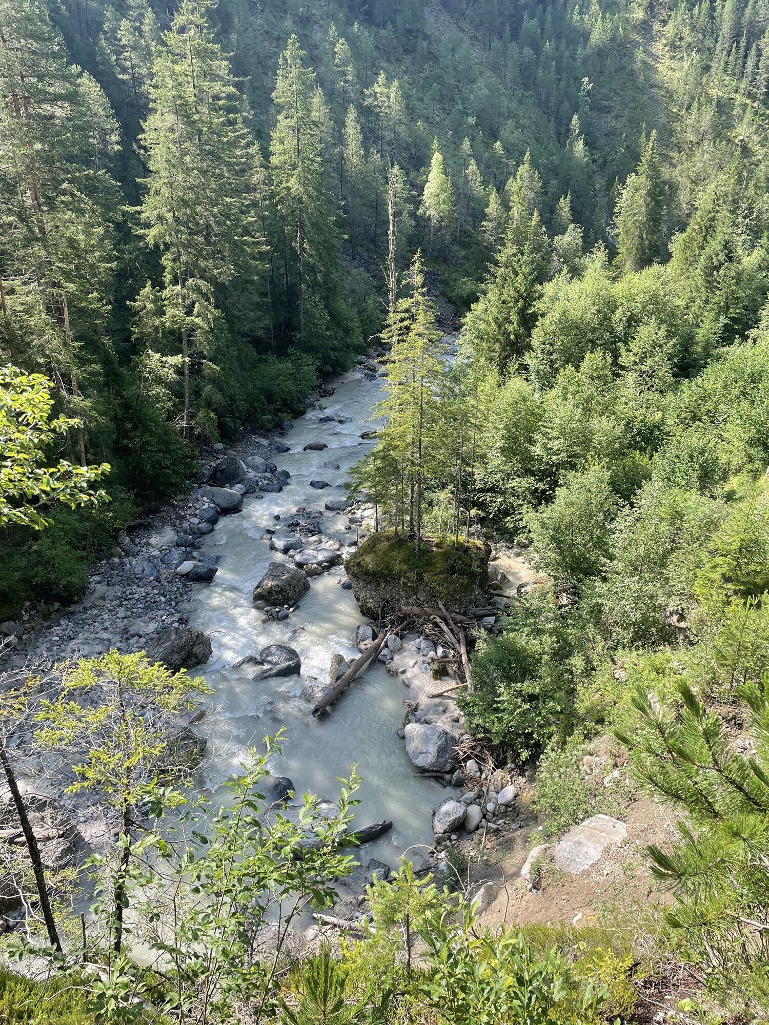
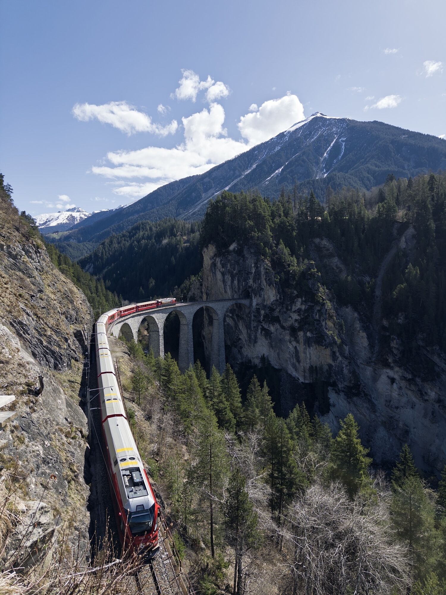
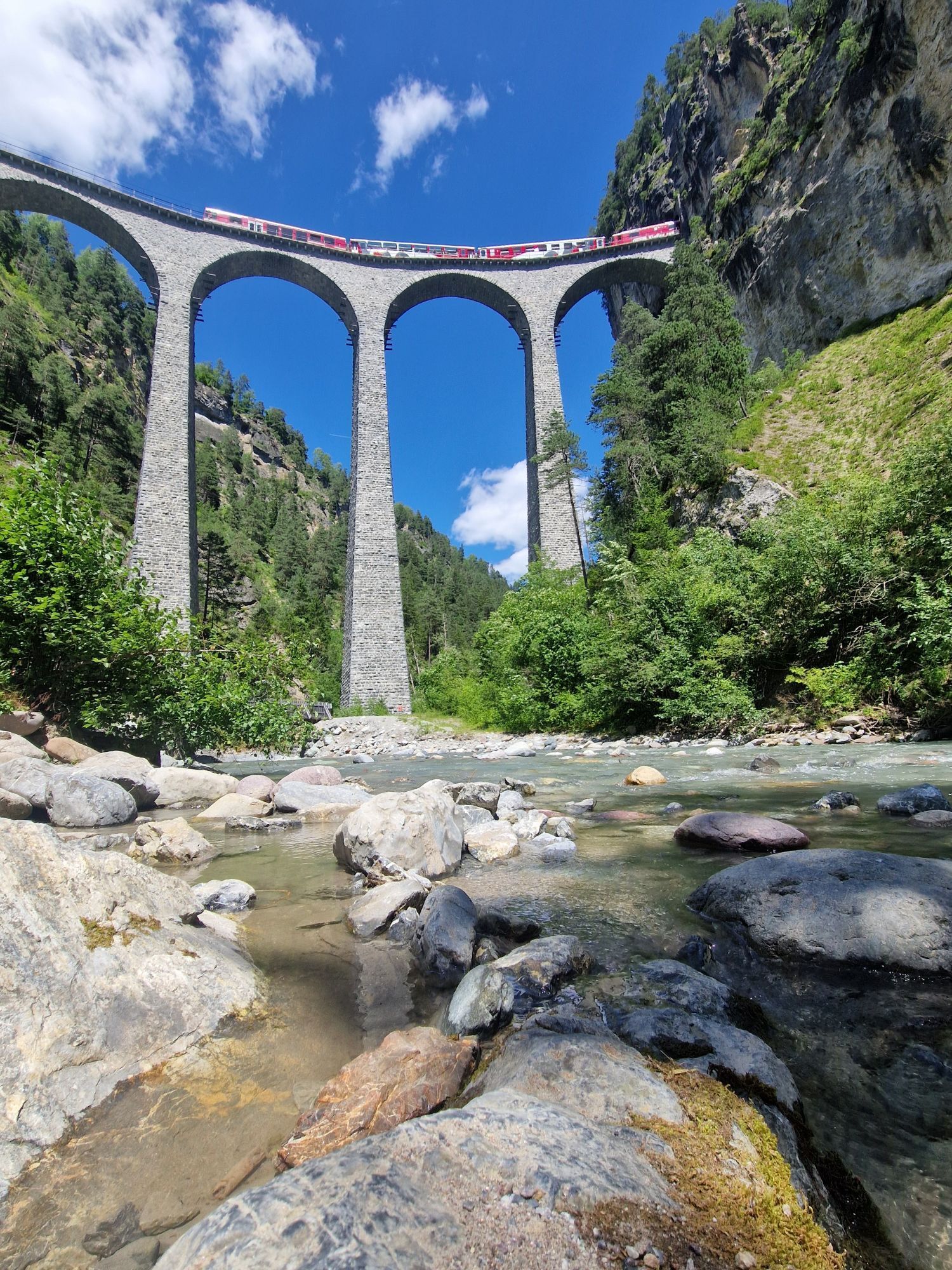
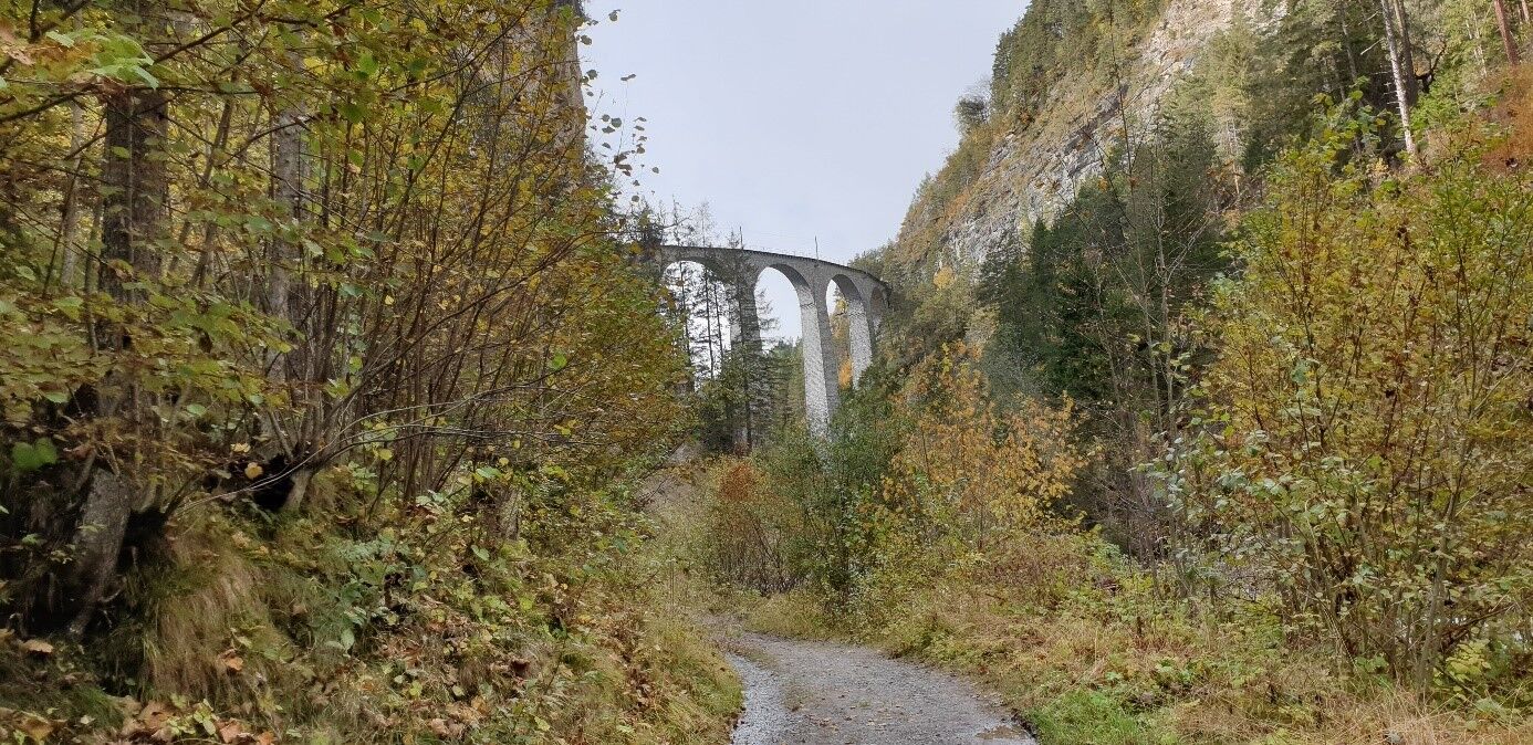
The route continues back over the level crossing and then downhill to the left towards the viaduct. But this time not over, but under the viaduct. With further spectacular views into the gorge, you now hike down a slightly exposed narrow path via "Leidboda" to the first crossing of the Landwasser. (Section: about 30 min, 3 km, descent 240 m). Then the terrain becomes very easy again up to the highlight of the hike, the mighty pillars of the Landwasser Viaduct. The cozy rest area at the viaduct with snack/WC is the ideal place to wait for the train crossing. Impressive how the train swings at 65 meters high in a 142-meter curve over the viaduct (section: about 20 min, 1.5 km).
To finish, it goes along the "Landwasser" flowing from Davos on the left and with the Schmittnertobel Viaduct on the right up to the junction at the cantonal road. From there, we take the somewhat steeper path directly back up to the Albula line. After the railway underpass, go right back to the starting point (section: about 45 min, 2 km) or if you wish, left to the viewing platform (about 5 min per way).
By train to Filisur
Large parking lot at Filisur station

 Získajte prehľad
Vždy naživo na mieste s viac ako 9 500 webovými kamerami. bergfex Ako používateľ Pro si teraz môžete pozrieť príslušné webové kamery pre mnohé zájazdy v aplikácii zájazdy z. Môžete si tak priamo prezerať aktuálne podmienky.
Získajte prehľad
Vždy naživo na mieste s viac ako 9 500 webovými kamerami. bergfex Ako používateľ Pro si teraz môžete pozrieť príslušné webové kamery pre mnohé zájazdy v aplikácii zájazdy z. Môžete si tak priamo prezerať aktuálne podmienky.

Obľúbené výlety v okolí
-
3,9
Arosa-Medergen-Tritt-Latschüelfurgga-Strelapass-Davos
strednáTuristika 22,5 km -
4,6
749 Val Meltger suspension bridge trail
strednáTuristika 8,30 km -
Arosa-Schwellisee-Älplisee-Parpaner Rothorn
Turistika 12,3 km -
3,5
Arosa-Maienfelder Furgga-Stafelalp-Davos
strednáTuristika 15,9 km -
4,7
Arosa-Hörnli-Parpaner Rothorn-Lenzerheide
Turistika 11,9 km -
Kesch Trek Tour (4 stages)
strednádiaľková pešia trasa 47,6 km -
5,0
Arosa-Hörnli-Urdenfürrgli-Alp Scharmoin-Lenzerheide
strednáTuristika 15,3 km -
5,0
Eichhörnliweg Arosa
svetloTematická trasa 1,72 km -
Alp Sanaspans - Rothorn
ťažkéTuristika 13,6 km -
5,0
Arosa-Erzhornsattel-Arosa
Turistika 14,9 km
Turistika a stopovanie


Nenechajte si ujsť ponuky a inšpiráciu na ďalšiu dovolenku
Vaša e-mailová adresa bol pridaný do poštového zoznamu.





