



Circular hike Cumbel - Vella - Peiden - Cumbel

Úroveň náročnosti: T1
The hike begins at the Nossadunna chapel at the lower edge of the village of Cumbel. After about 300 m, the field path branches off to the right towards Vella/Pleif. The route continues through varied...
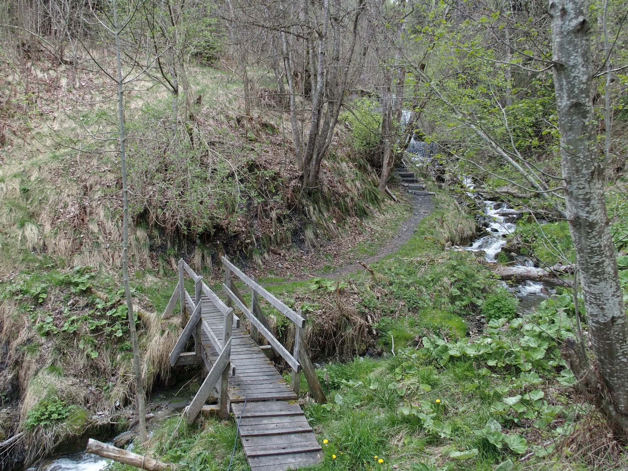
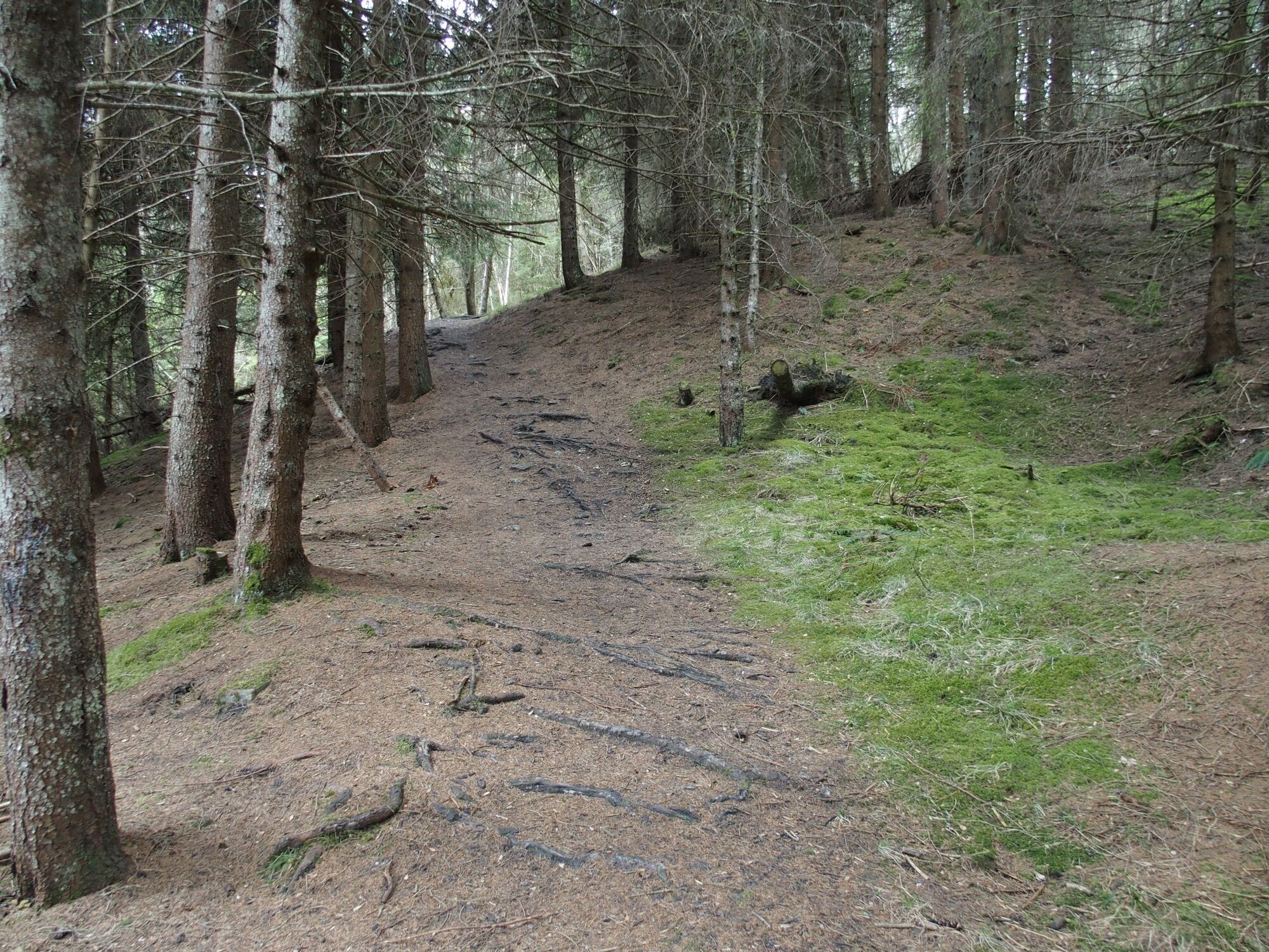
The hike begins at the Nossadunna chapel at the lower edge of the village of Cumbel. After about 300 m, the field path branches off to the right towards Vella/Pleif. The route continues through varied coniferous and deciduous forest. In the middle of the forest, the field path ends and turns into a hiking trail. After the small wooden bridge, the slightly steeper ascent to Pleif/Vella begins. When arriving at the church, take the left path towards the village. Shortly below the first houses, a gravel road branches off to the left to one of the most beautiful viewpoints of the Val Lumnezia. From here, there are two options to reach Degen: The first is a slightly steeper hiking trail that leads directly to Degen. The second is the field road which gently winds through the meadows towards Rumein and then on to Degen. At the Sogn Bistgaun chapel on the outskirts of Degen, take the turnoff towards Peiden. Past the Devil's Stone, continue over the pastures and through the forest. In spring and after thunderstorms, the stream in the forest before Peiden may carry a bit more water; please be cautious when crossing. Shortly before Peiden, there are signs by the roadside with interesting information about beekeeping and the local trees and shrubs. Below the village of Peiden, the forest path flows into the main road. Following the road leads to the upper village exit, where on the right side the path branches off uphill back to the starting point in Cumbel.

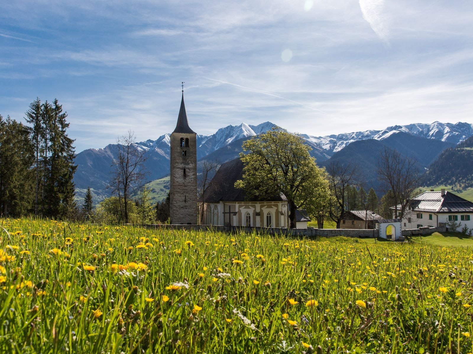
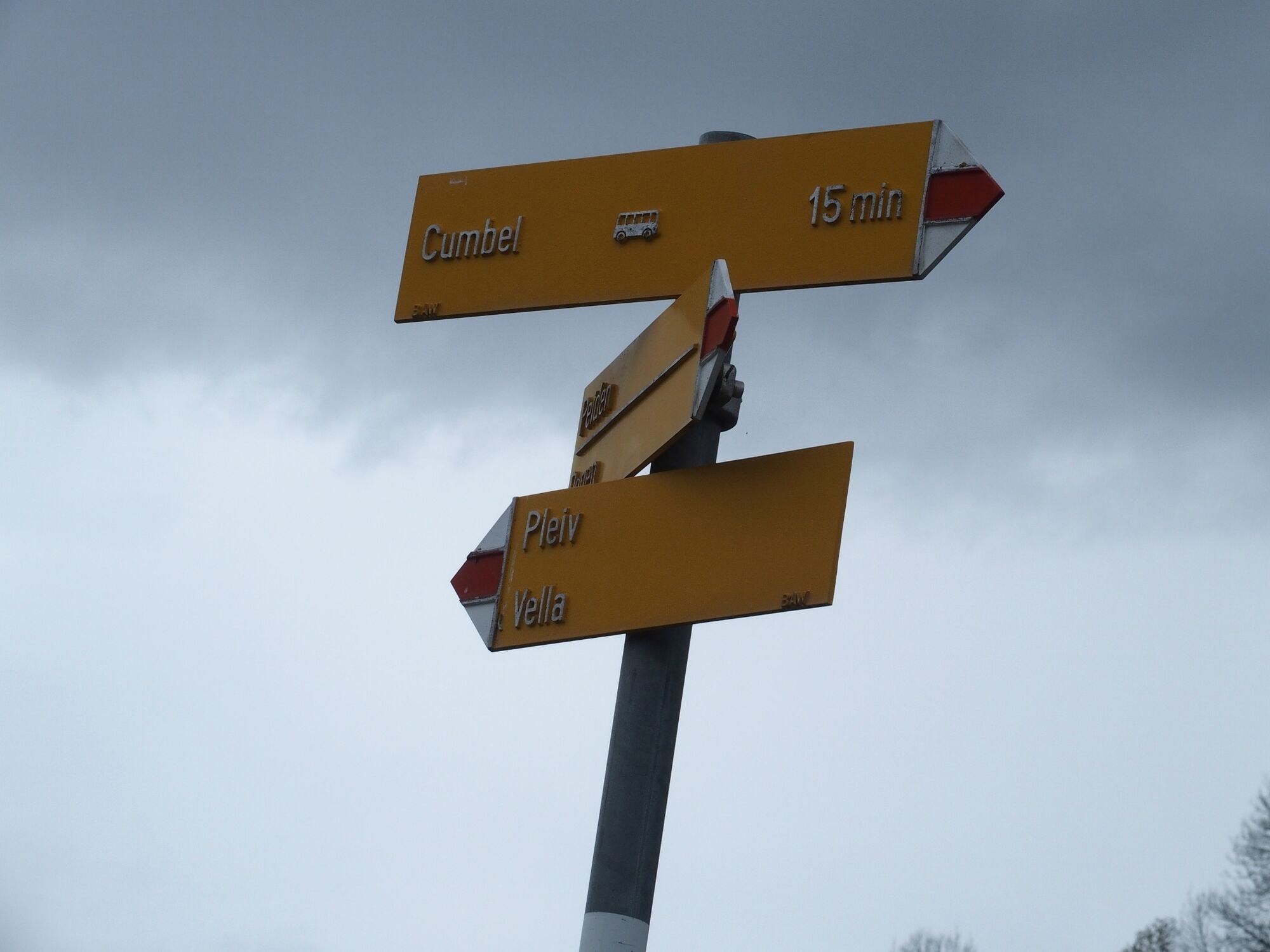

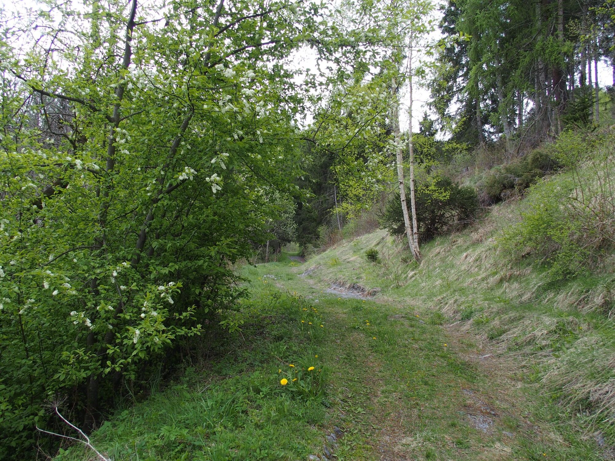
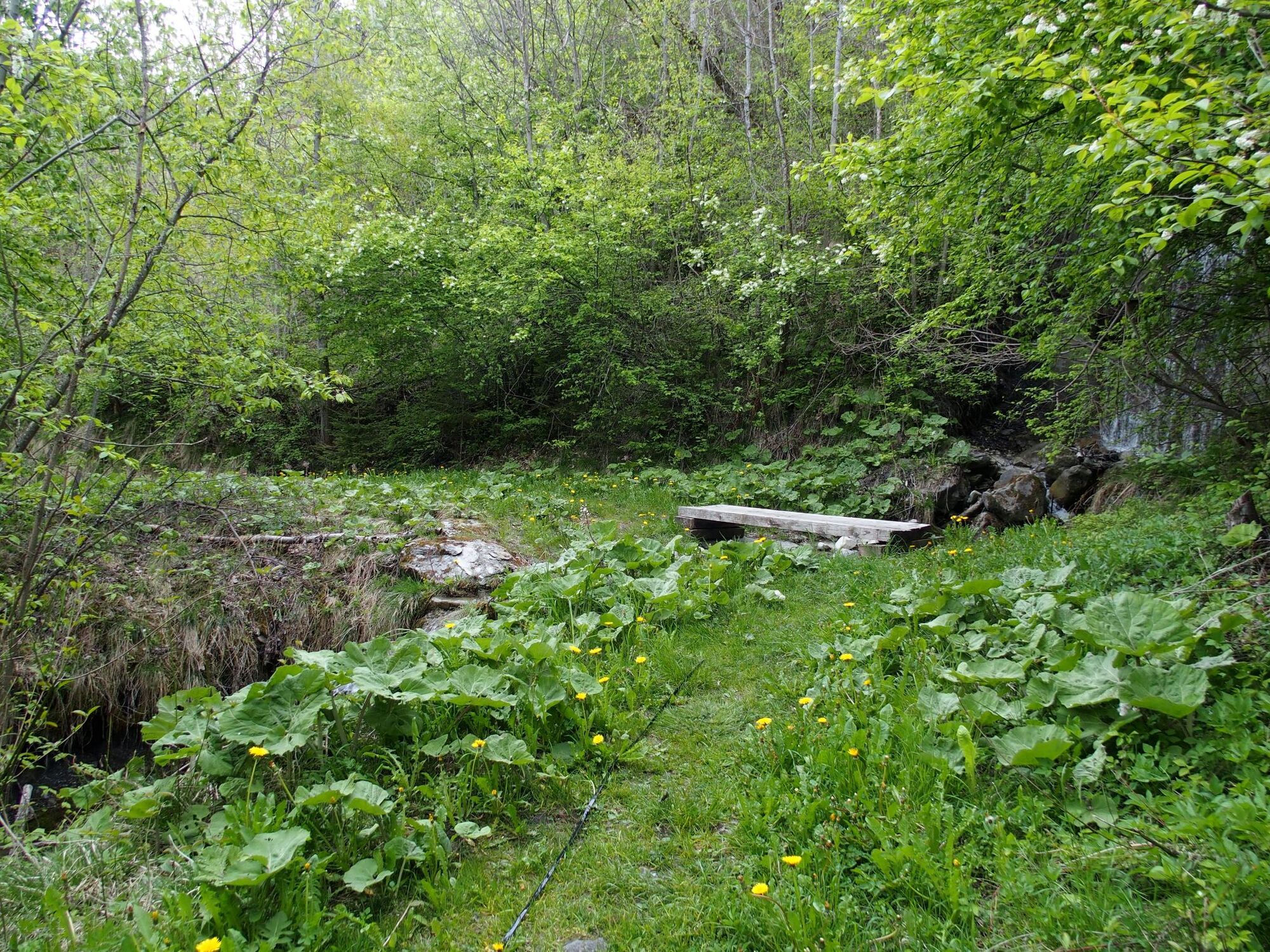


Cumbel – Liginas – Pleif/Vella – Sogn Bistgaun/Degen - Bual Sut – Peiden – Pardiala – Cumbel
Good hiking shoes with a good profile or trekking shoes, weather-appropriate clothing (rain jacket), drink, possibly food, possibly hiking poles.
The stream in the forest near Peiden can carry a bit more water in spring or after heavy thunderstorms. Please be careful when crossing.
The hiking trail from the stream up to the Pleif church is relatively wet in spring and can be a bit slippery due to the clayey ground.
In uncertain weather conditions, the route should not be started. Weather changes in the mountains are frequent. If a rain front or similar develops during the hike, you should turn back in good time.
Via Chur A3/A13 via Flims to Ilanz in the Val Lumnezia.
Post bus line 90.441 Ilanz - Vrin, stop Cumbel
Public parking in Cumbel next to the fire station.
T1
Obľúbené výlety v okolí
-
4,9
Rheinschlucht: From Ilanz to Versam into the heart of the Rheinschlucht
strednáTuristika 11,4 km -
4,4
4-lake hike: Caumasee - Crestasee - Felsbach Gorge
ťažkéTuristika 13,3 km -
5,0
Caumasee tour: Flims - Caumasee - Conn - Flims
svetloTuristika 7,94 km -
3,8
Circular hike: Falera-Curnius-Alp Dadens-Falera
strednáTuristika 11,4 km -
5,0
Rhine Gorge Circular Hike
strednáTuristika 11,4 km -
5,0
Panorama route
svetloTuristika 5,39 km -
5,0
Circular route: Lake Cauma - Rhine Gorge "Swiss Grand Canyon"
strednáTuristika 19,8 km -
Piz Fess 2880m, the proud one
ťažkéTuristika 12,8 km -
5,0
Hiking route Suspension Bridge Val da Tersnaus
strednáTuristika 3,24 km -
4,7
Dutjer Alp - magnificent view
strednáTuristika 8,23 km
Turistika a stopovanie


Nenechajte si ujsť ponuky a inšpiráciu na ďalšiu dovolenku
Vaša e-mailová adresa bol pridaný do poštového zoznamu.


