







Stage 5: Rhine hike Trun - Ilanz

Úroveň náročnosti: T1

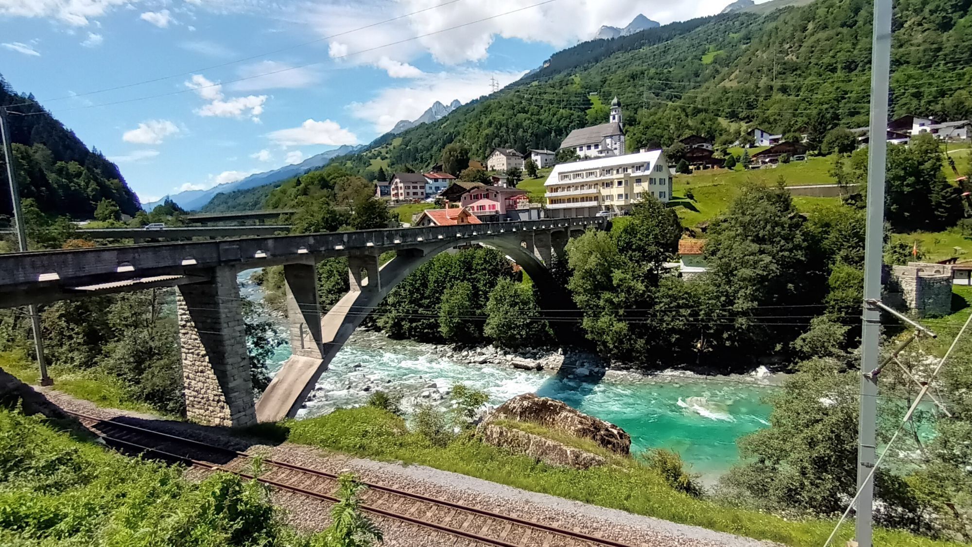
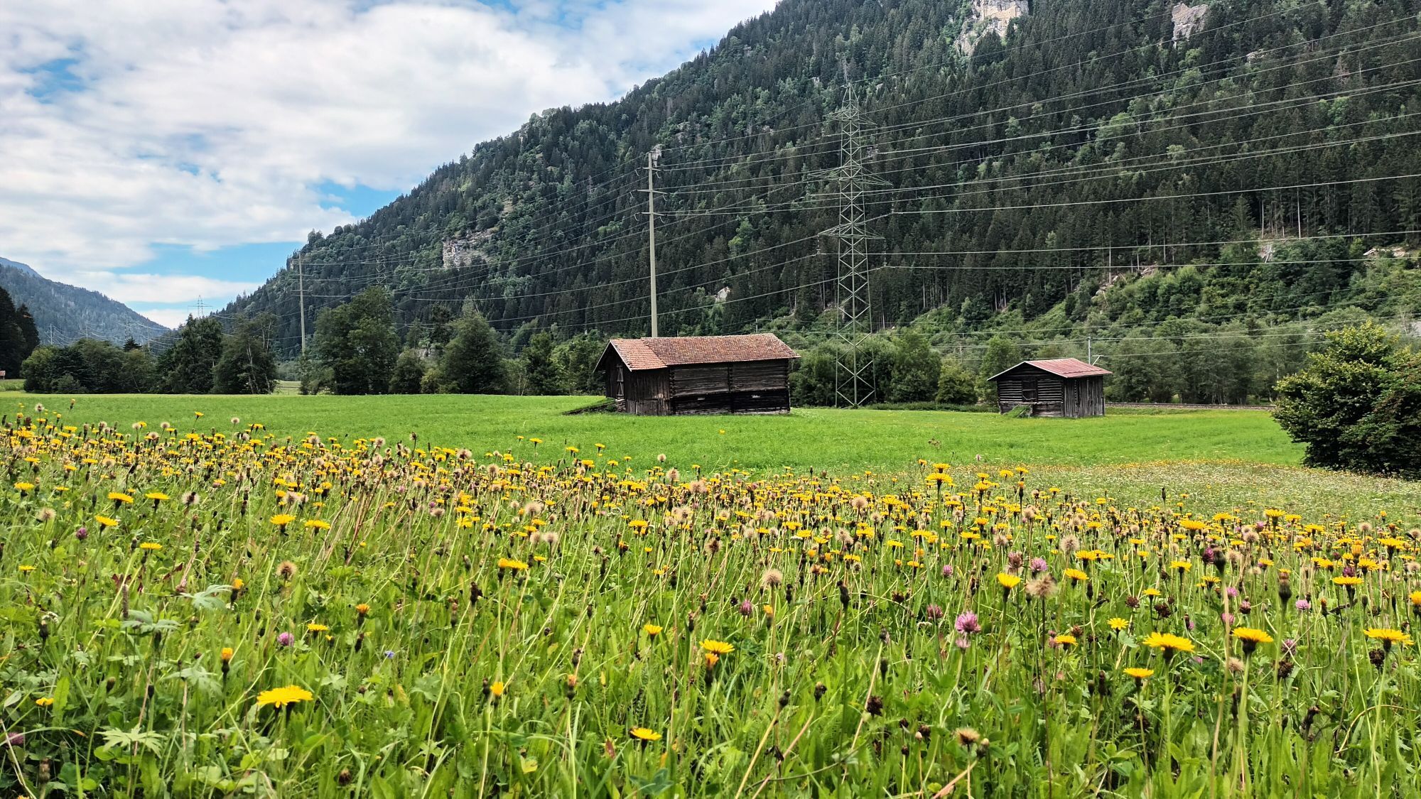
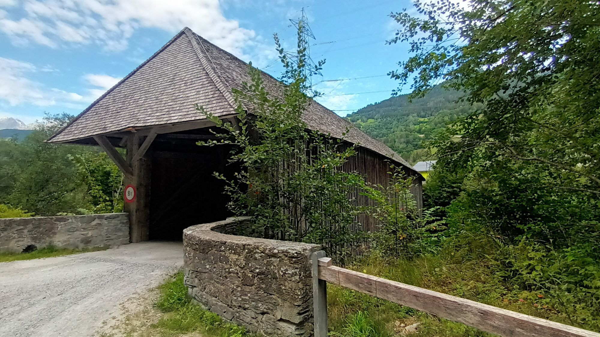
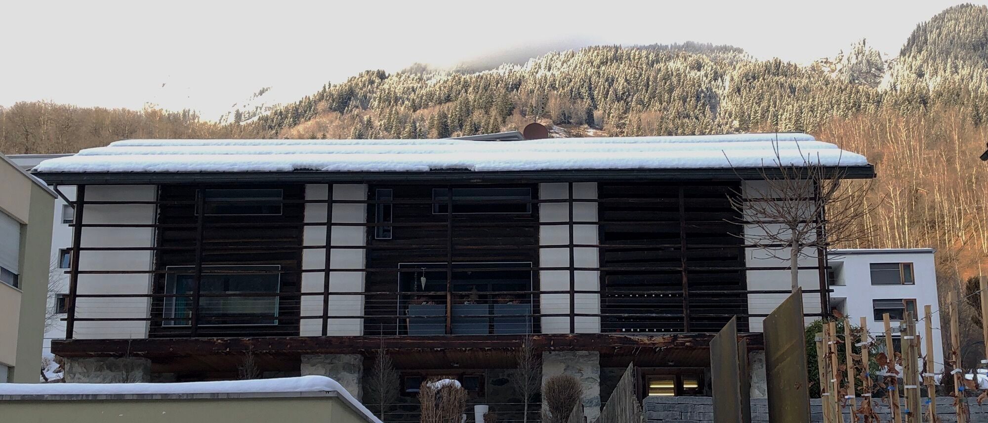
From Trun, you hike on the left side of the Rhine to Tavanasa. Here you cross the Vorderrhein over the old Rhine bridge. From Tavanasa you hike on the Polish path, which was built between 1940 and 1945...
From Trun, you hike on the left side of the Rhine to Tavanasa. Here you cross the Vorderrhein over the old Rhine bridge. From Tavanasa you hike on the Polish path, which was built between 1940 and 1945 by interned Polish soldiers. Memorial plaques and a wayside shrine at the western end of the Plaun Grond recall the history through the fascinating river landscape.

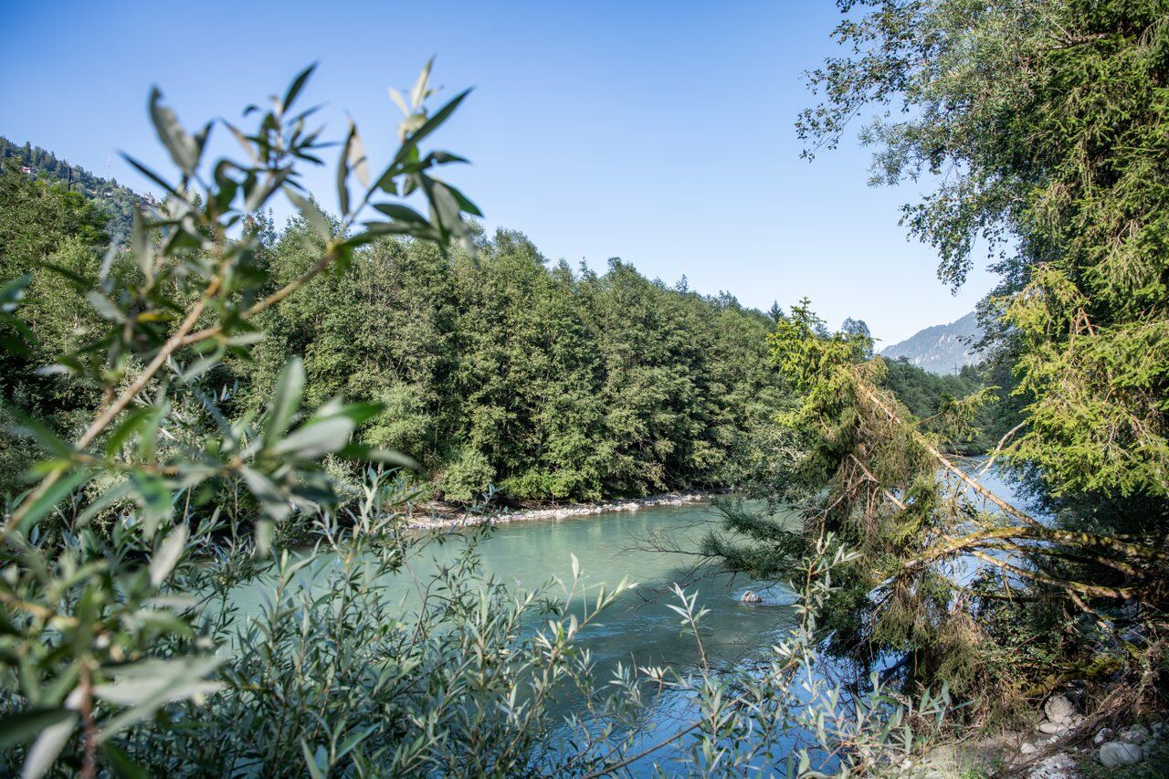
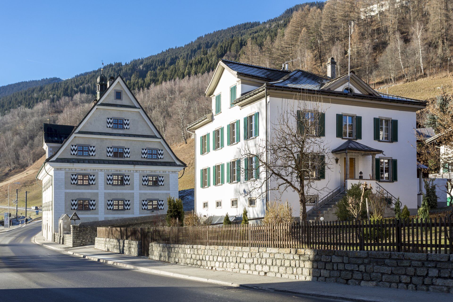
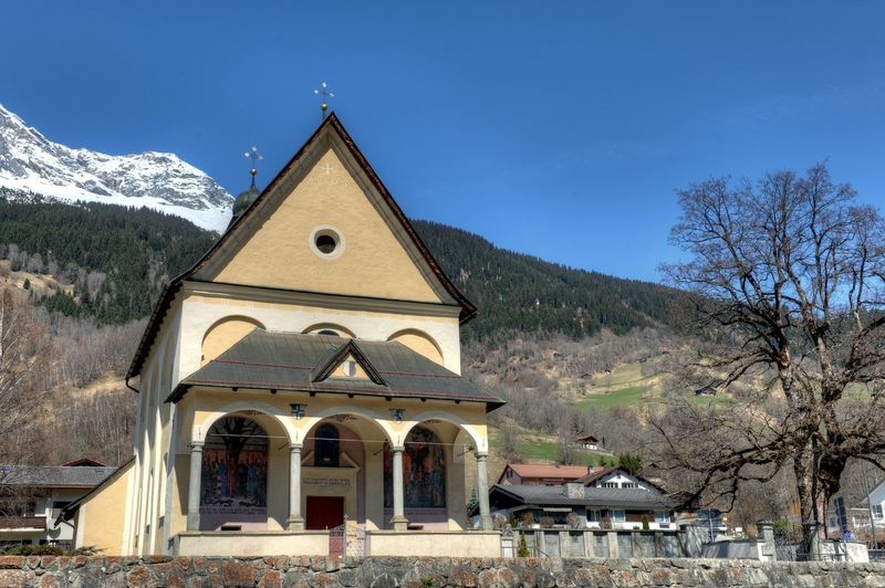
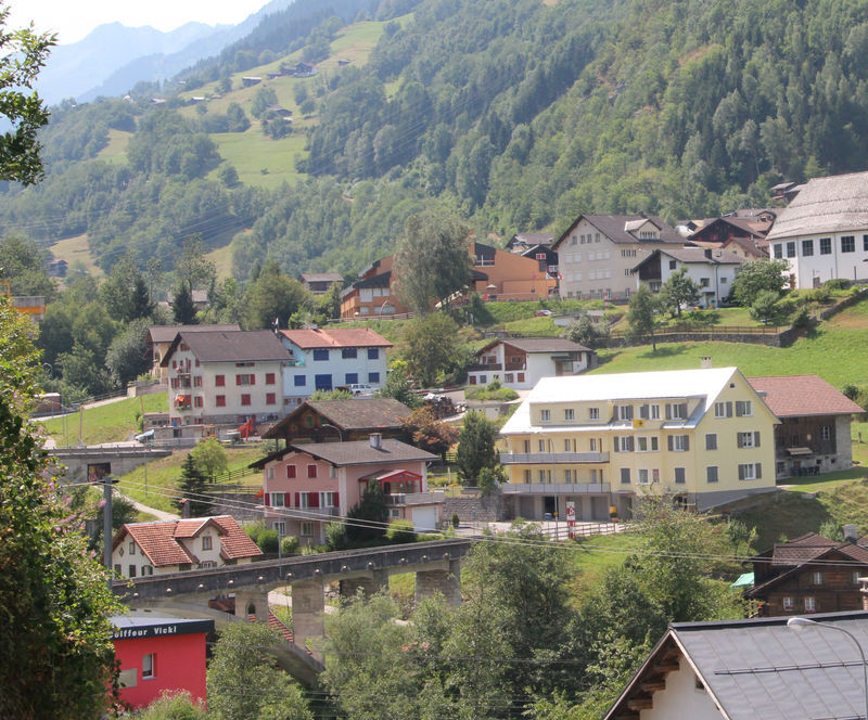
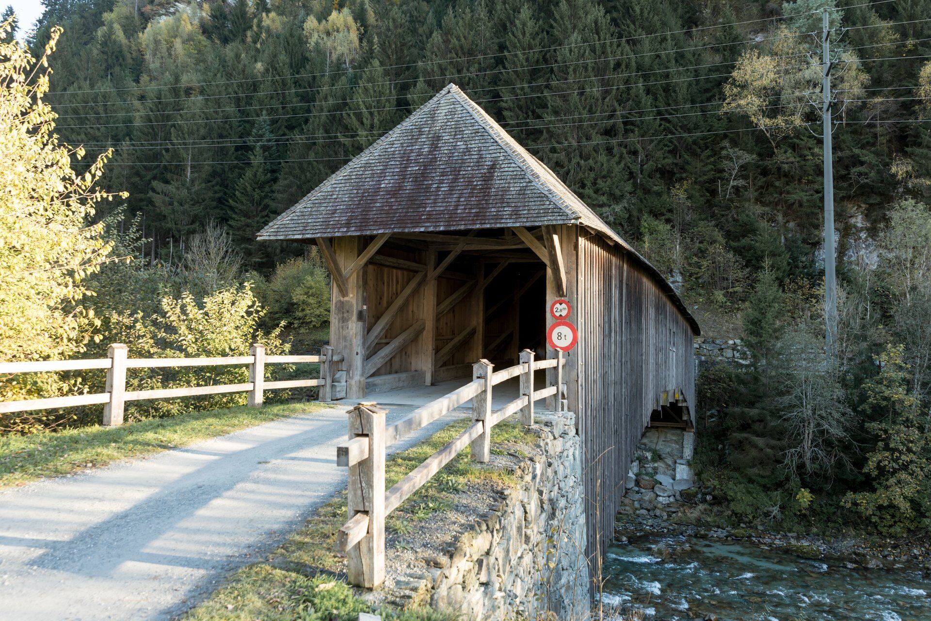
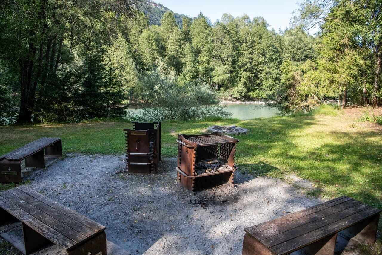
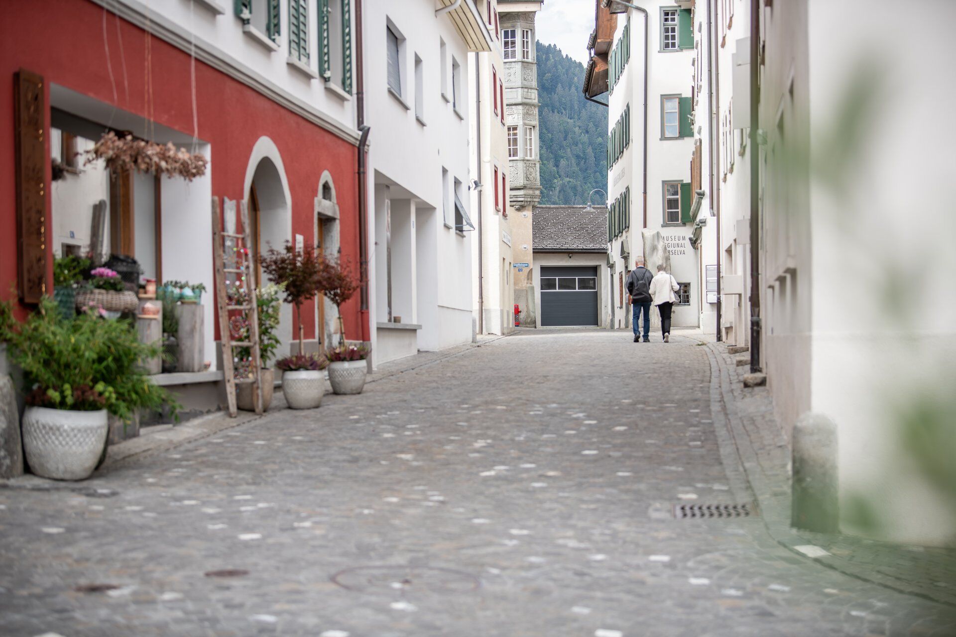

Trun - Tiraun - Tavanasa - Waltensburg station - Waltensburg station - Rueun station - Ilanz
Áno
Good hiking shoes with a good tread, weather-appropriate clothing (rain jacket/sun protection), change of clothes, first aid kit, drink, provisions, possibly hiking poles.
In uncertain weather conditions, the route should not be attempted. Weather changes are common in the mountains. If a rain front or similar approaches during the hike, you should turn back in good time.
Trun can be reached by car via Route 19 from both Chur and Disentis/Mustér.
Trun can be reached by the Rhaetian Railway from both Chur and Disentis/Mustér.
Large parking lots are available at the campsite near the train station in Trun.
T1
The hike can be shortened at any time by the Rhaetian Railway.

Webové kamery z prehliadky


Obľúbené výlety v okolí
-
4,9
Rheinschlucht: From Ilanz to Versam into the heart of the Rheinschlucht
strednáTuristika 11,4 km -
5,0
Kalktrittli - Nüschentäli - Muttsee - Obersee - Muttenchopf - Mörtel - Limmerensee - Kalktrittli (durch Stollen)
strednáTuristika 14,8 km -
5,0
High valley Val Frisal
ťažkéTuristika 12,4 km -
3,8
Circular hike: Falera-Curnius-Alp Dadens-Falera
strednáTuristika 11,4 km -
Piz Fess 2880m, the proud one
ťažkéTuristika 12,8 km -
4,5
Panorama ridge hike: Crap Sogn Gion - Fuorcla - Alp Nagens
strednáTuristika 9,44 km -
5,0
Hiking route Suspension Bridge Val da Tersnaus
strednáTuristika 3,24 km -
4,7
Dutjer Alp - magnificent view
strednáTuristika 8,23 km -
Panoramic route between Piz Mundaun and Péz Sezner
strednáTuristika 6,75 km -
4,5
Trail run: Pigniu - Panixersee - Pigniu
strednáTrailrunning 8,32 km
Turistika a stopovanie


Nenechajte si ujsť ponuky a inšpiráciu na ďalšiu dovolenku
Vaša e-mailová adresa bol pridaný do poštového zoznamu.





