


Hohbüel 2462m
Fotografie našich používateľov
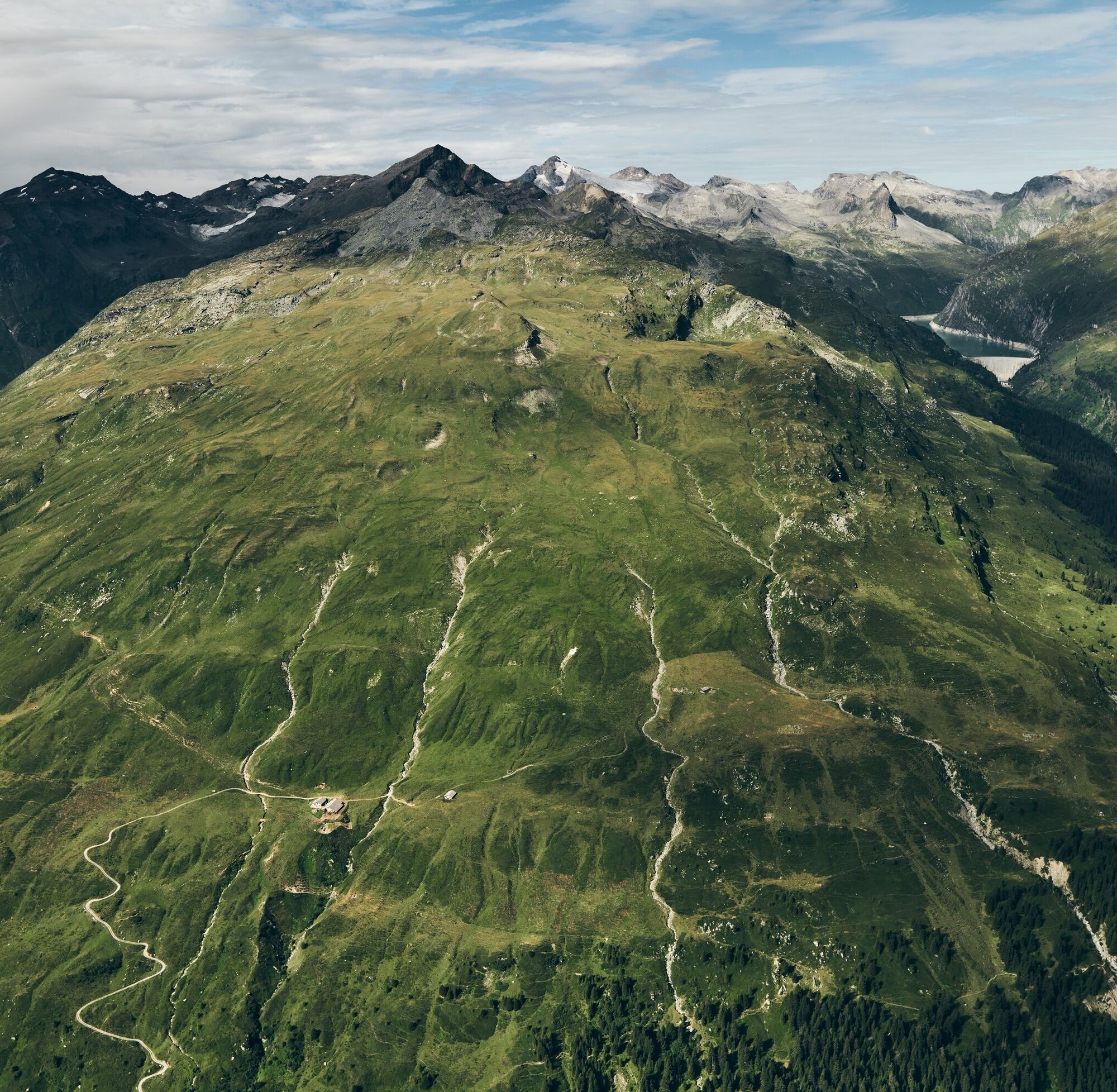
Visible from the valley floor, Hohbüel proudly towers above the vast meadows of Alp Selva and thus shapes the local scenery. As a forepeak of an independent mountain range in the rear Valser valley, its...
Visible from the valley floor, Hohbüel proudly towers above the vast meadows of Alp Selva and thus shapes the local scenery. As a forepeak of an independent mountain range in the rear Valser valley, its central location and moderate height make it a consistently attractive viewpoint.

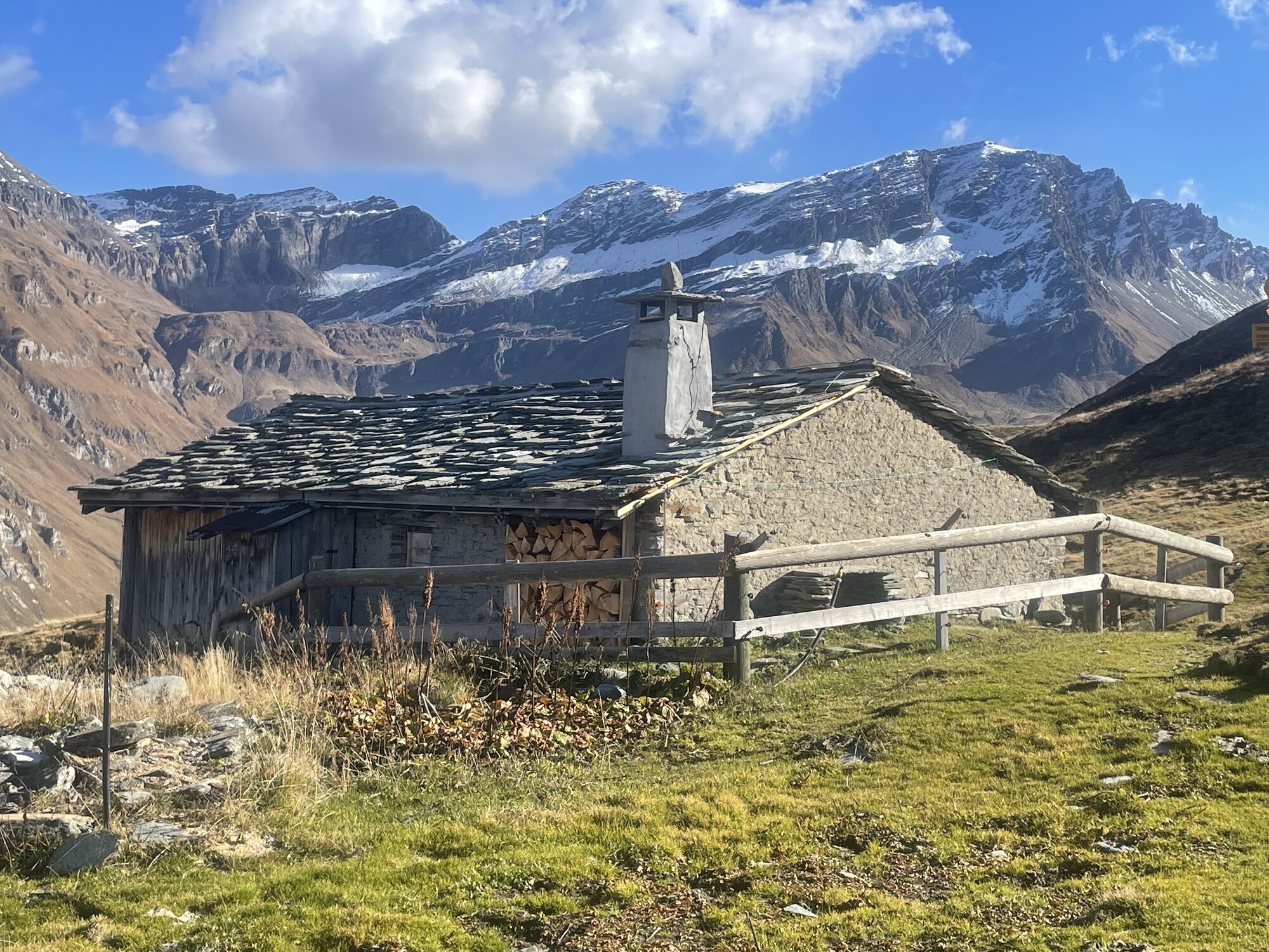
From Valé either directly and steeply via Balma or somewhat more comfortably on the conventional hiking path (old Zerfreilaweg) up to Inder Bord (1472 m, 30 min). Then continue uphill through the Marcheggawald to Heinisch Stafel above the tree line (2041 m, 1 hr 15 min). From there, follow the hiking trail for 45 min towards Selvasee until Hohbüel comes into view.
Finally, hike for another 45 min off-trail over easy terrain directly towards Hohbüel and ascend comfortably to the summit via the northeast ridge with magnificent views of the surrounding Valser mountains.
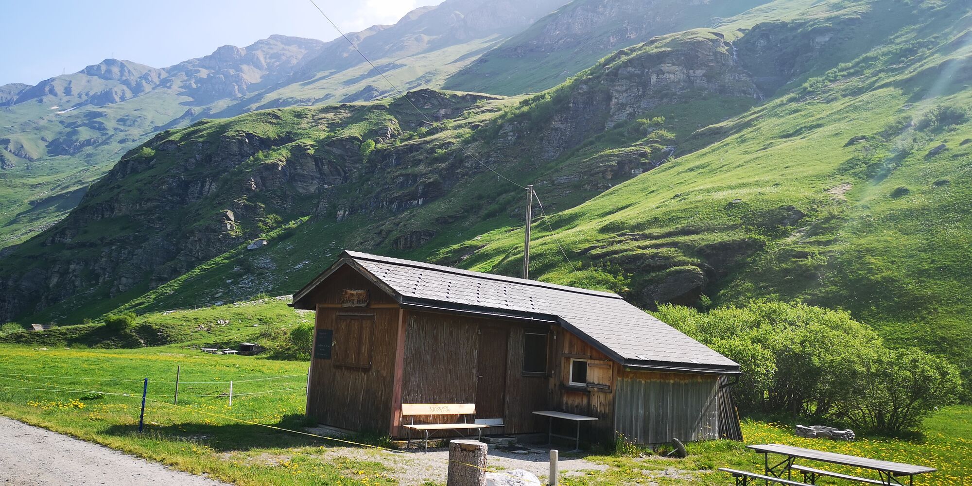
On the way back (2 hrs), turn off at Heinisch Stafel and hike down the valley to Inder Peil. Take the hiking bus back to Vals.
Áno
Áno
Solid, rainproof, warm clothing. Sturdy hiking or trekking boots. Gloves, hat, sun protection. Hiking poles, provisions and drinks from the backpack, first aid kit, topographic map, altimeter, compass, mobile phone, flashlight.
Requirements: For experienced hikers, technically an easy route (T3), which requires caution in wet, cold, and snowy conditions near the summit.
On this hike, expect to encounter cows with calves.
Detailed information on behavior: https://www.wandern.ch/de/wandern/sicher-unterwegs/mutterkuhherden
Via Chur-Ilanz to Vals.
To Vals by PostBus from Ilanz.
Parking lot "Bidem" (chargeable) near the village square.
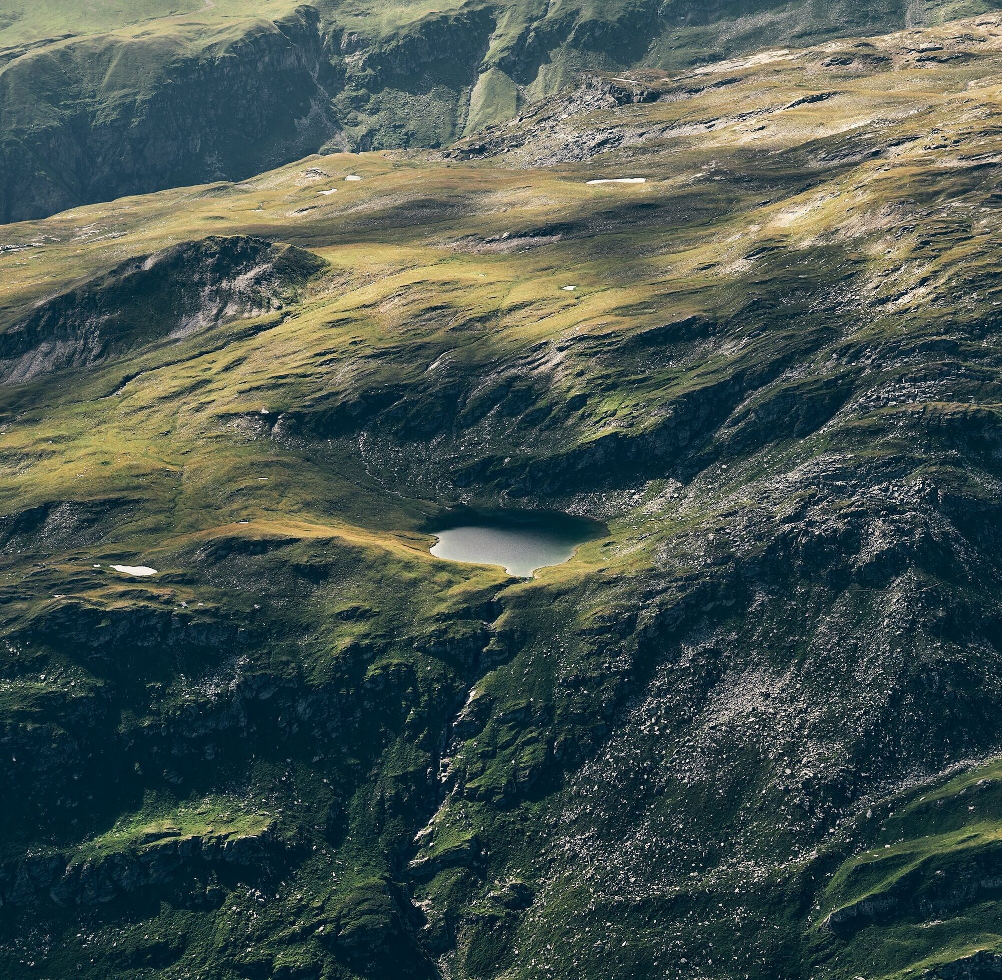
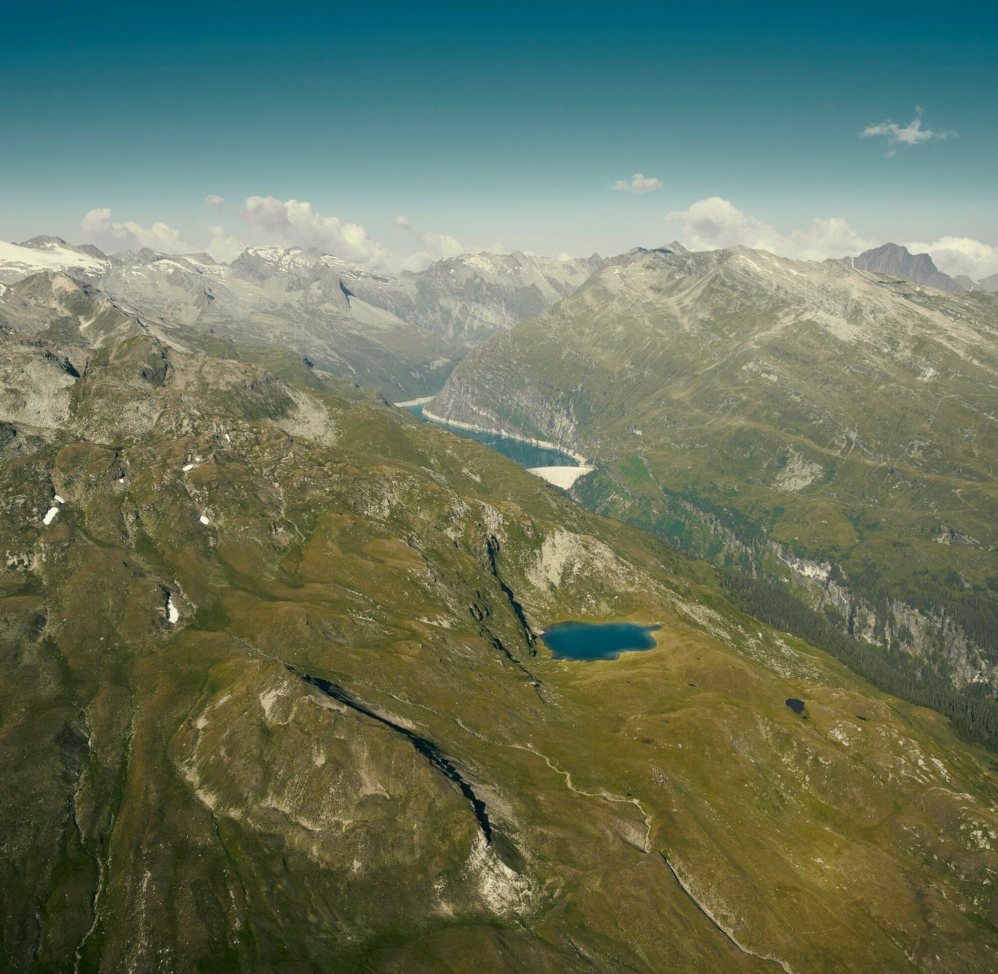
After a successful summit ascent, an additional highlight is a short detour to the nearby Selvasee.
Obľúbené výlety v okolí
-
5,0
Panorama route
svetloTuristika 5,39 km -
5,0
Hiking route Suspension Bridge Val da Tersnaus
strednáTuristika 3,24 km -
3,3
3-lake hike
strednáTuristika 12,8 km -
5,0
Winter hike Gadastatt - Frunt - Zerfreila (Panorama trail)
svetloZimná turistika 5,36 km -
5,0
2-day hike Greina high plateau
strednáTuristika 14,9 km -
5,0
Southeast Switzerland Hiking Day Vals 2017
svetloTuristika 11,8 km -
Piz Terri, 3.149 m
strednáVysoké turné 6,92 km -
5,0
Hike Vrin - Uors over the suspension bridge Val da Silgin
strednáTuristika 12,3 km -
3,5
Places of Magic - Lumbrein
strednáTuristika 8,74 km -
Furggelti 2712m
ťažkéTuristika 18,7 km
Turistika a stopovanie


Nenechajte si ujsť ponuky a inšpiráciu na ďalšiu dovolenku
Vaša e-mailová adresa bol pridaný do poštového zoznamu.