







702 Schijenfluh Circuit
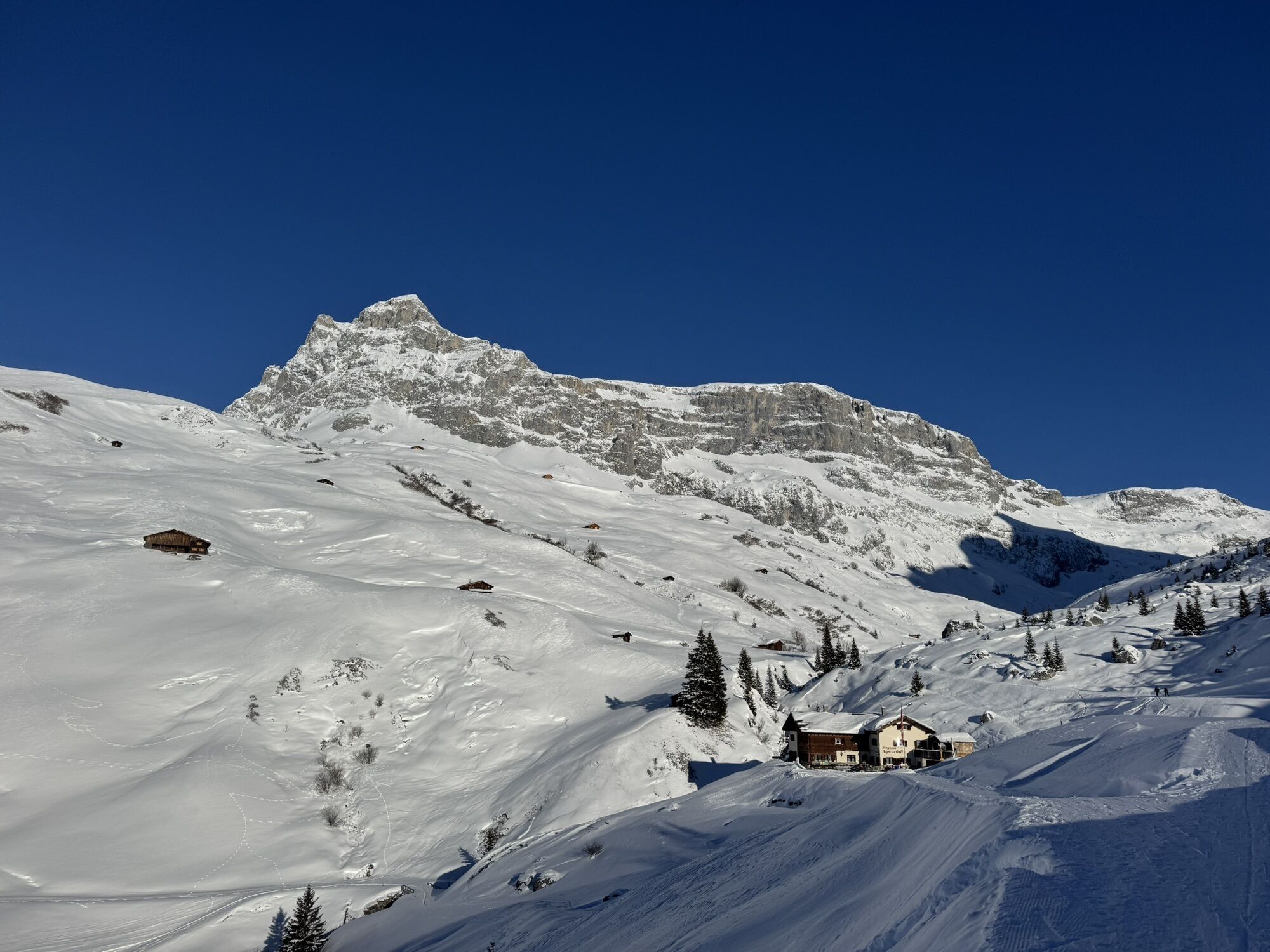
On this cross-border route into nearby Austria, you not only walk on Walser and smuggler trails, but it also offers a geological cross-section through the Rätikon with its striking contrasting mountains...
On this cross-border route into nearby Austria, you not only walk on Walser and smuggler trails, but it also offers a geological cross-section through the Rätikon with its striking contrasting mountains of light limestone and dark, crystalline Silvretta rock.

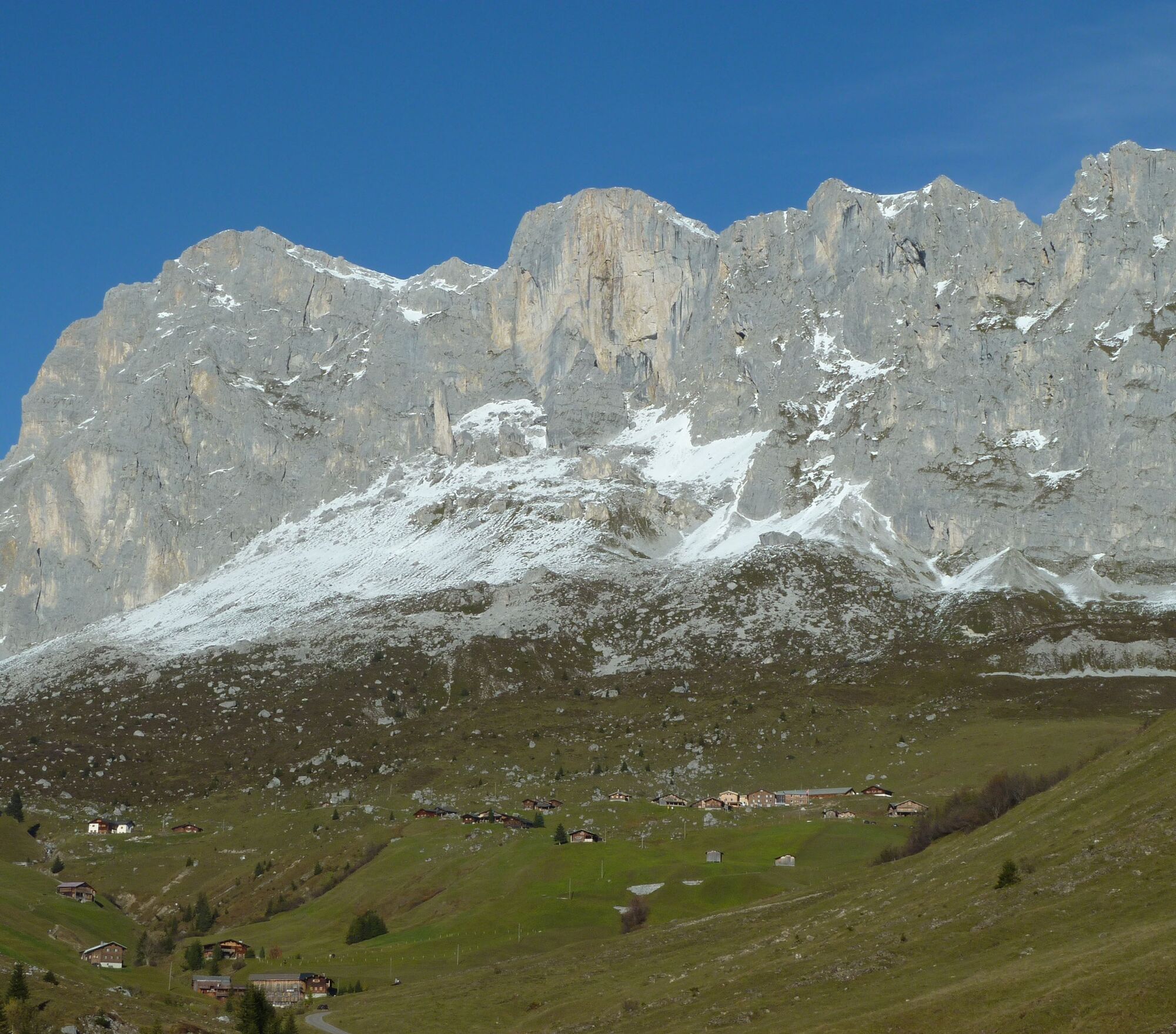
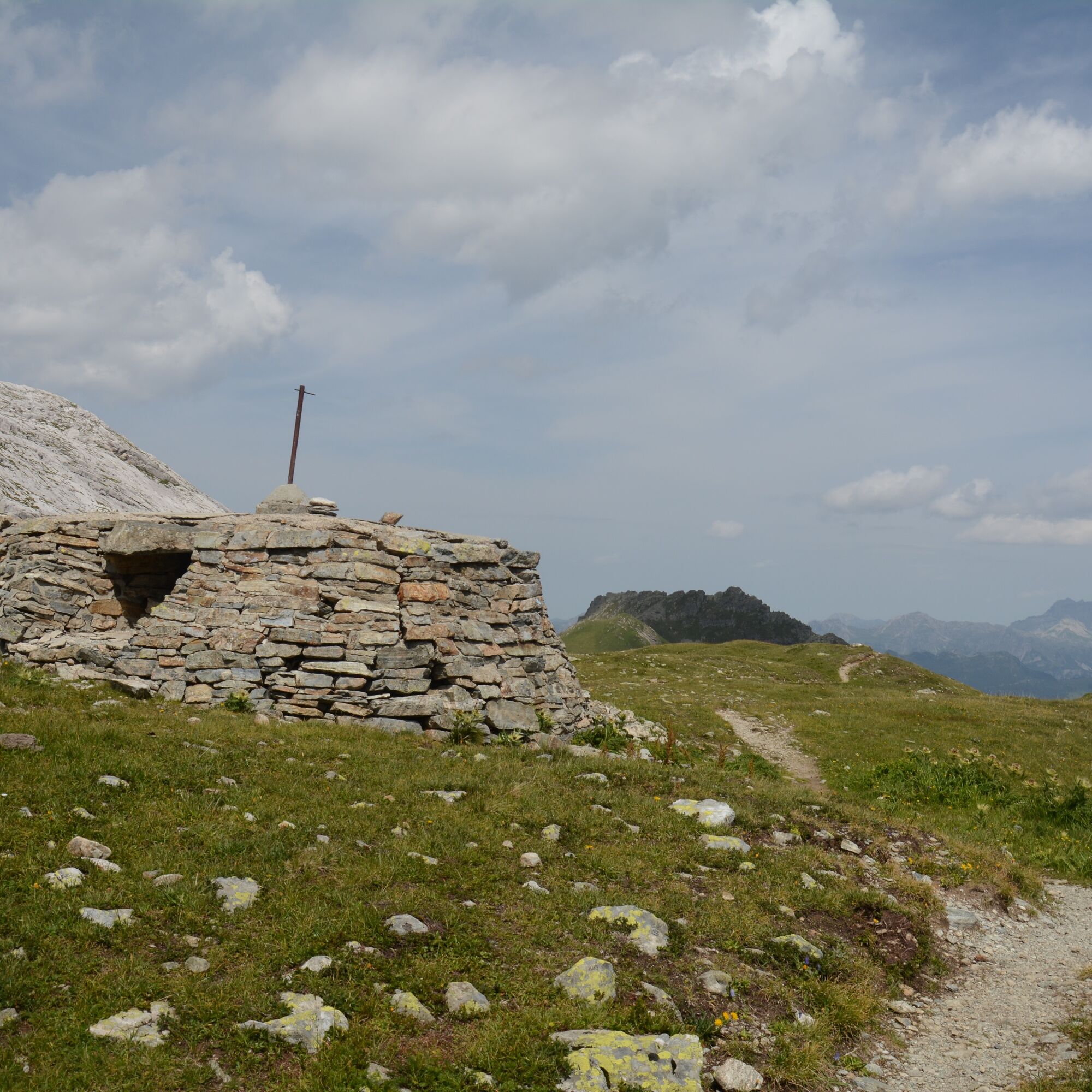
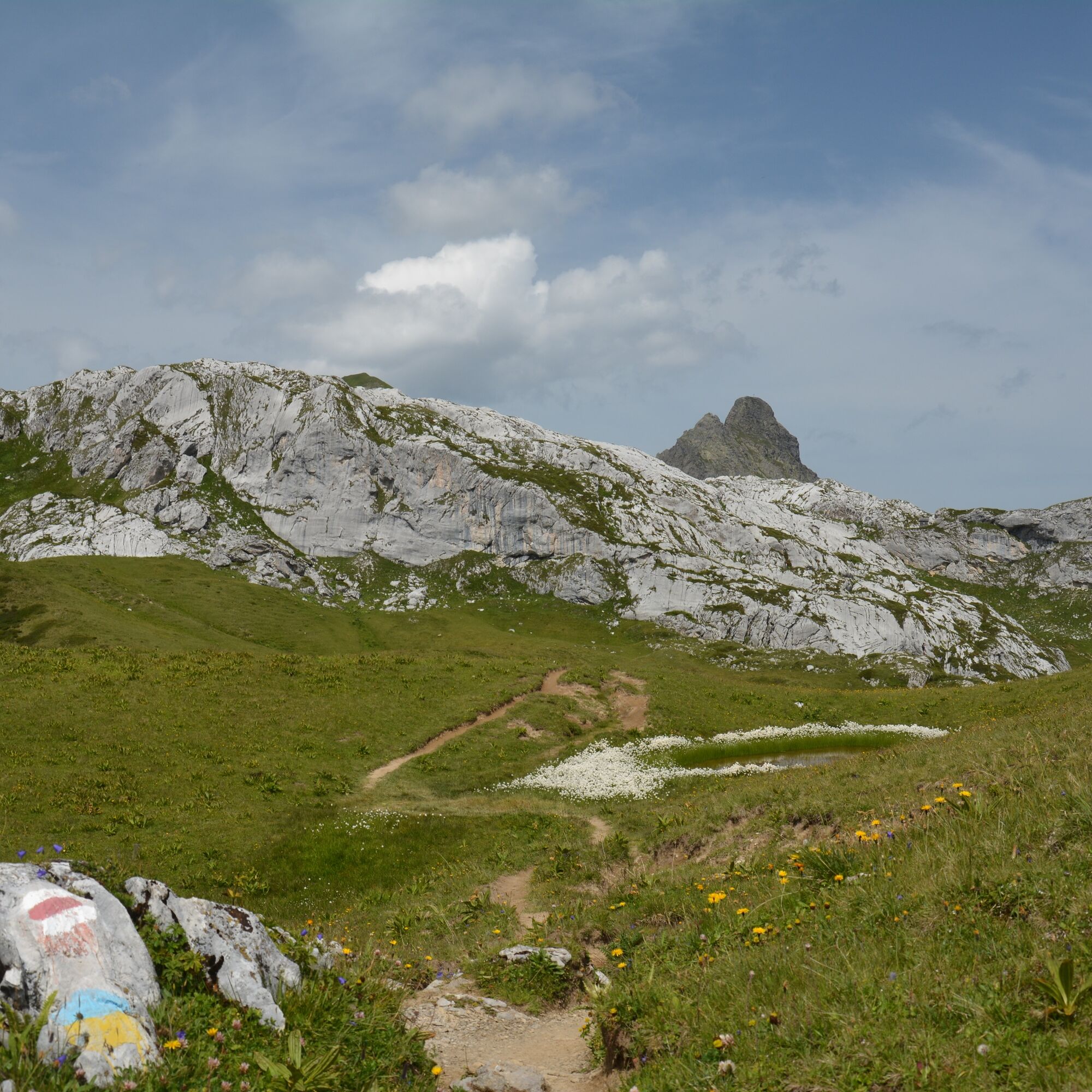
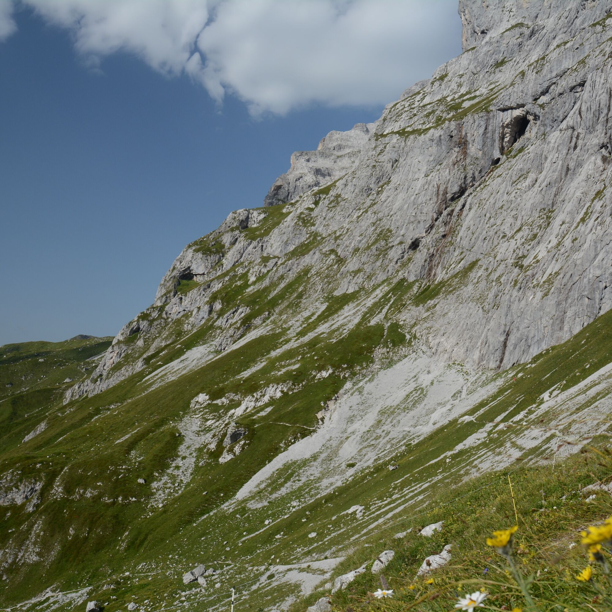
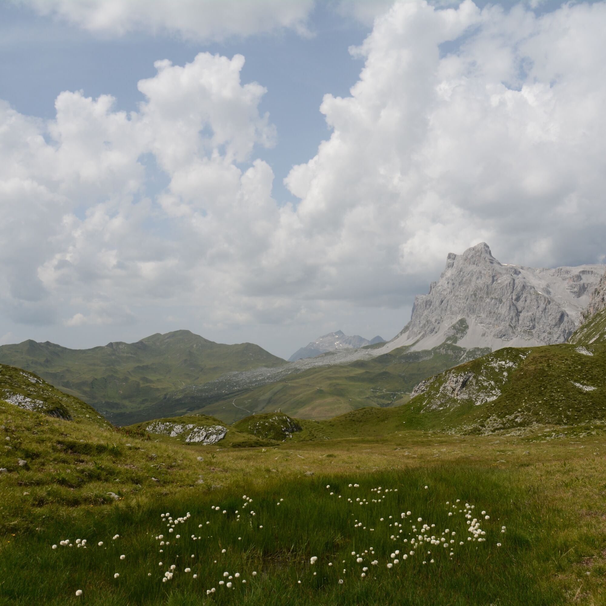
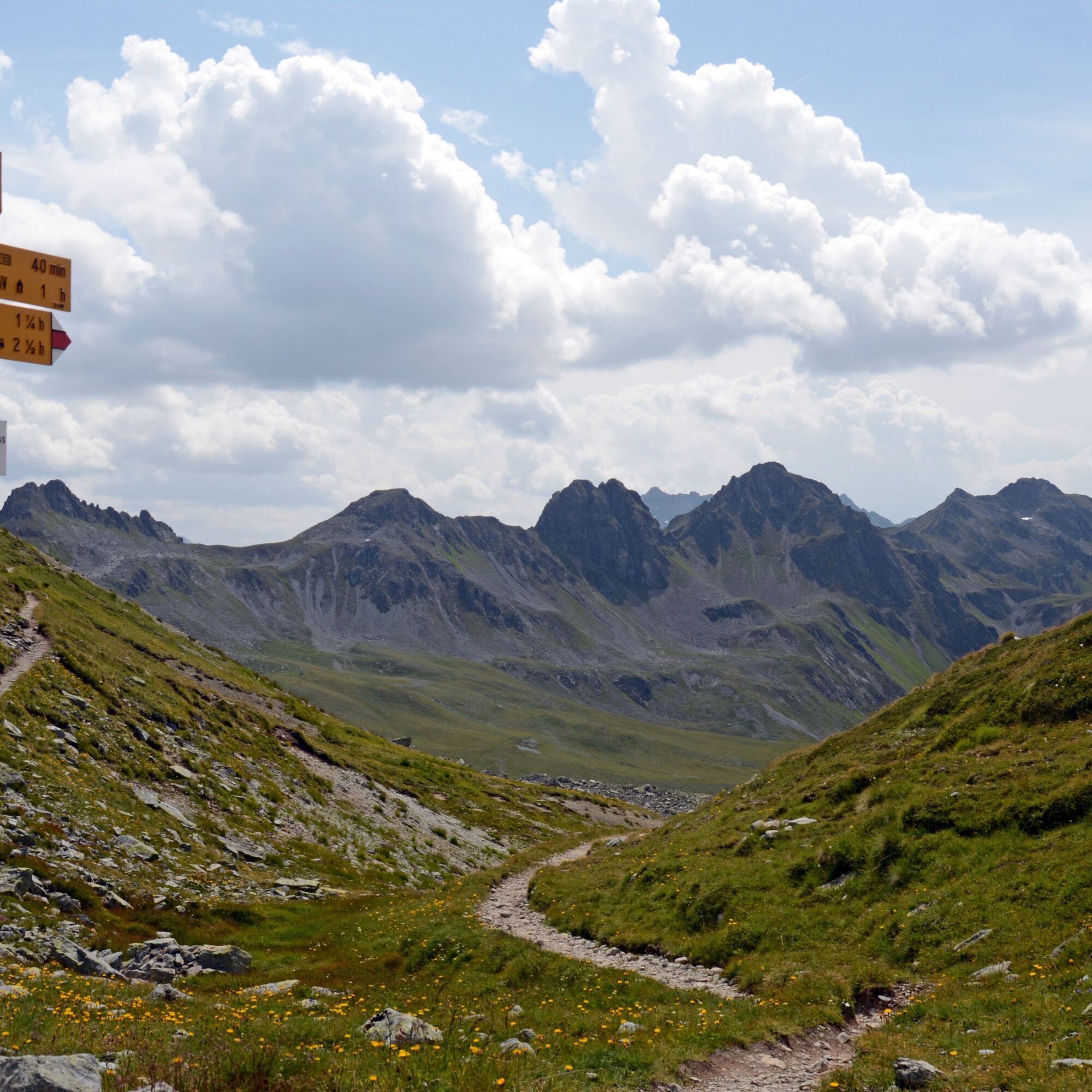
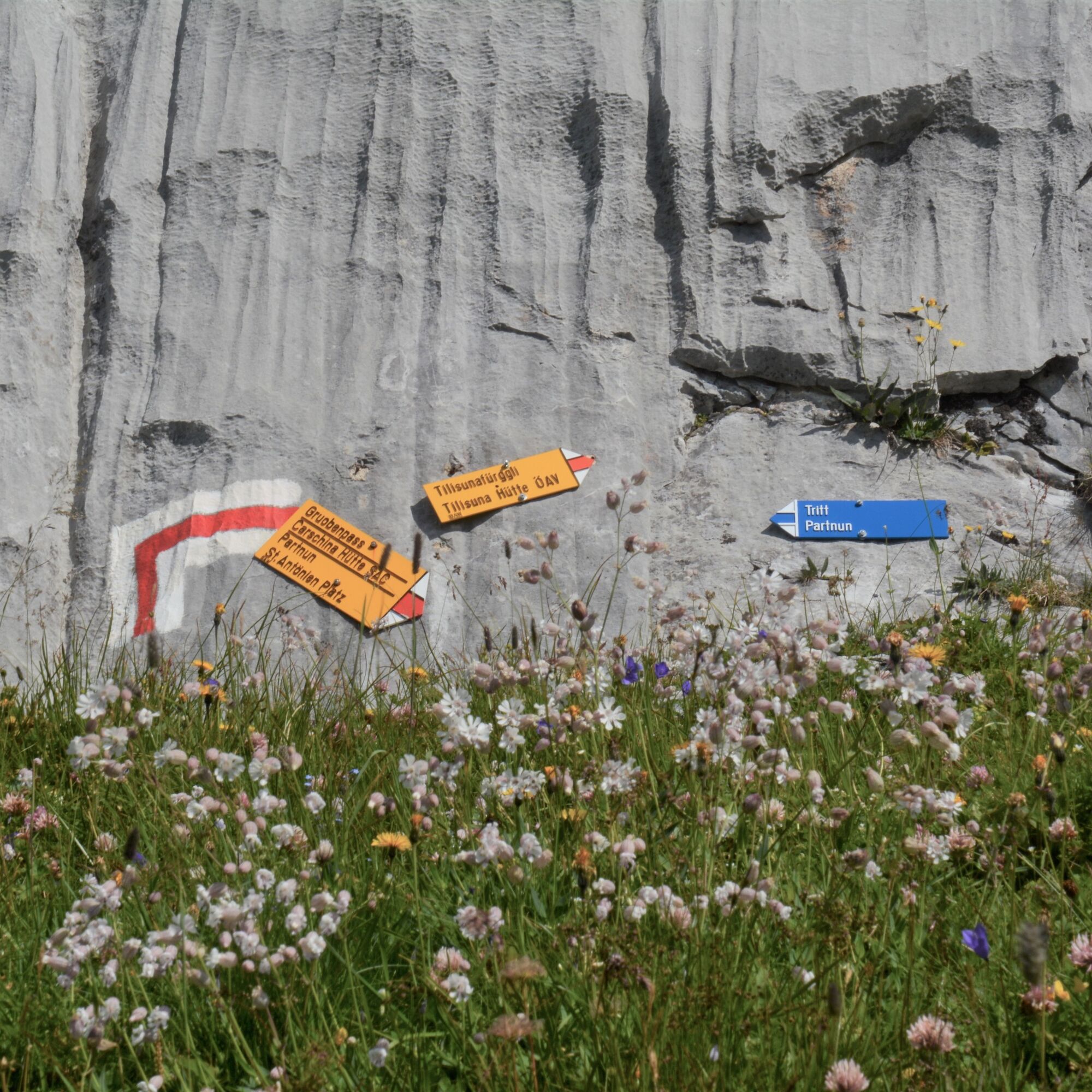
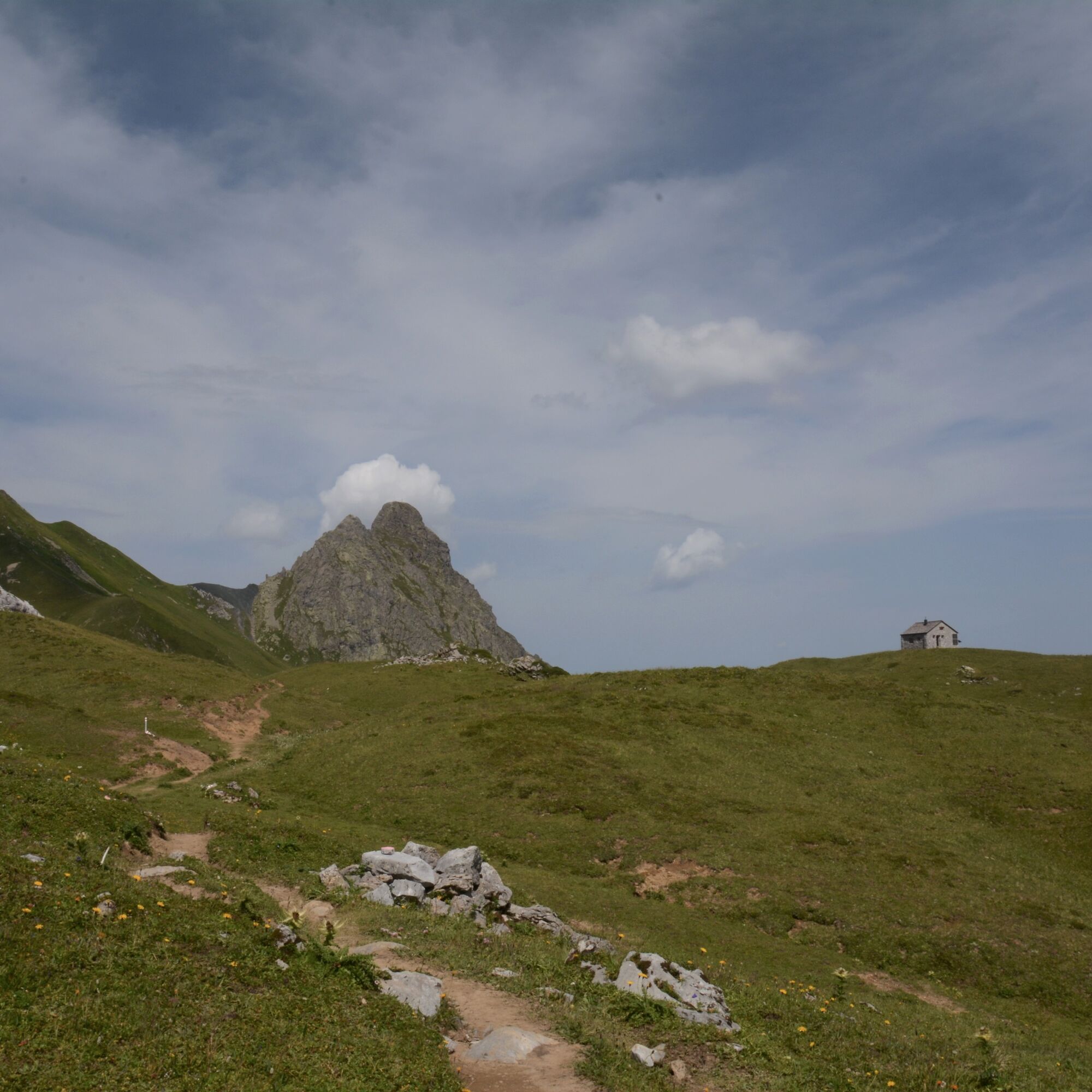
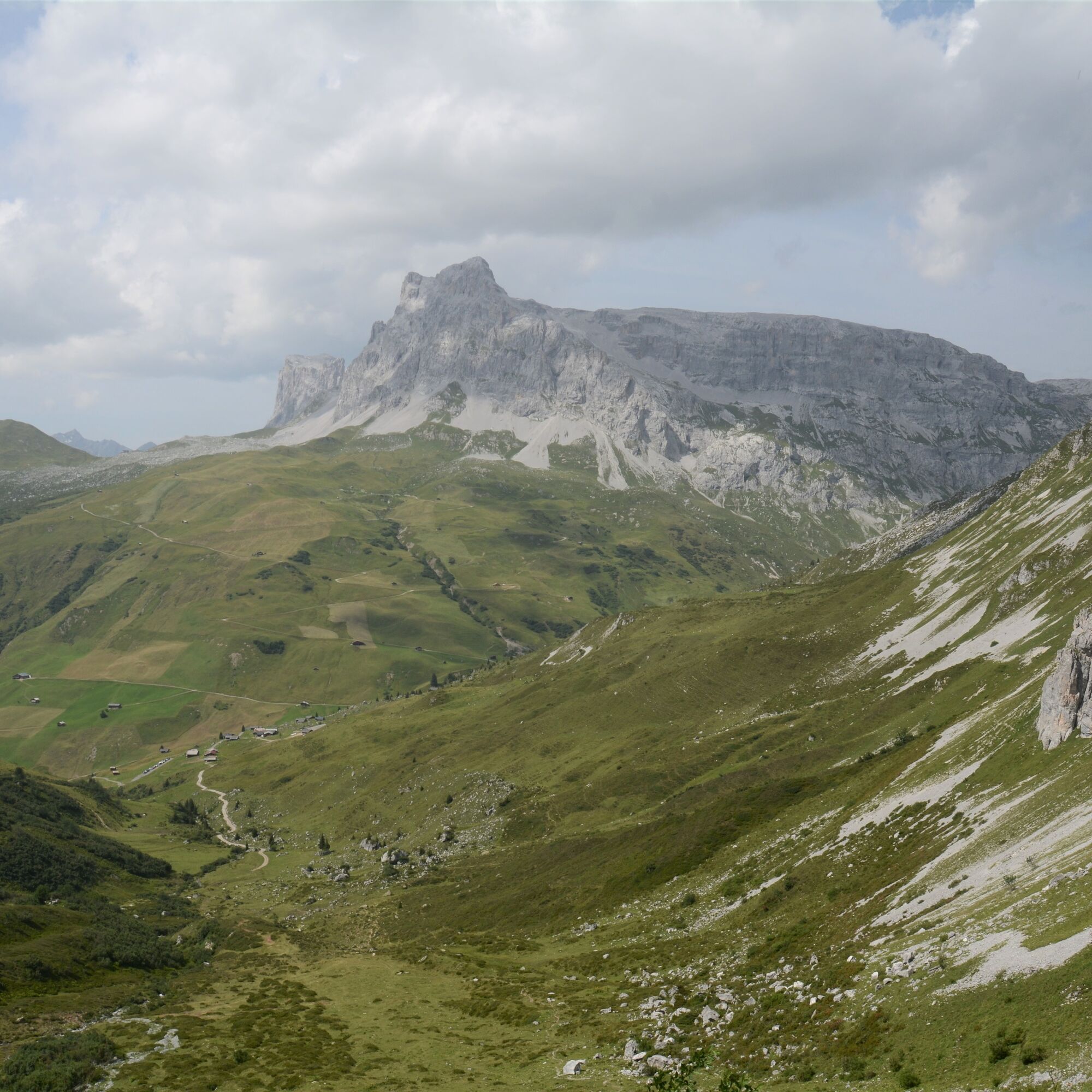
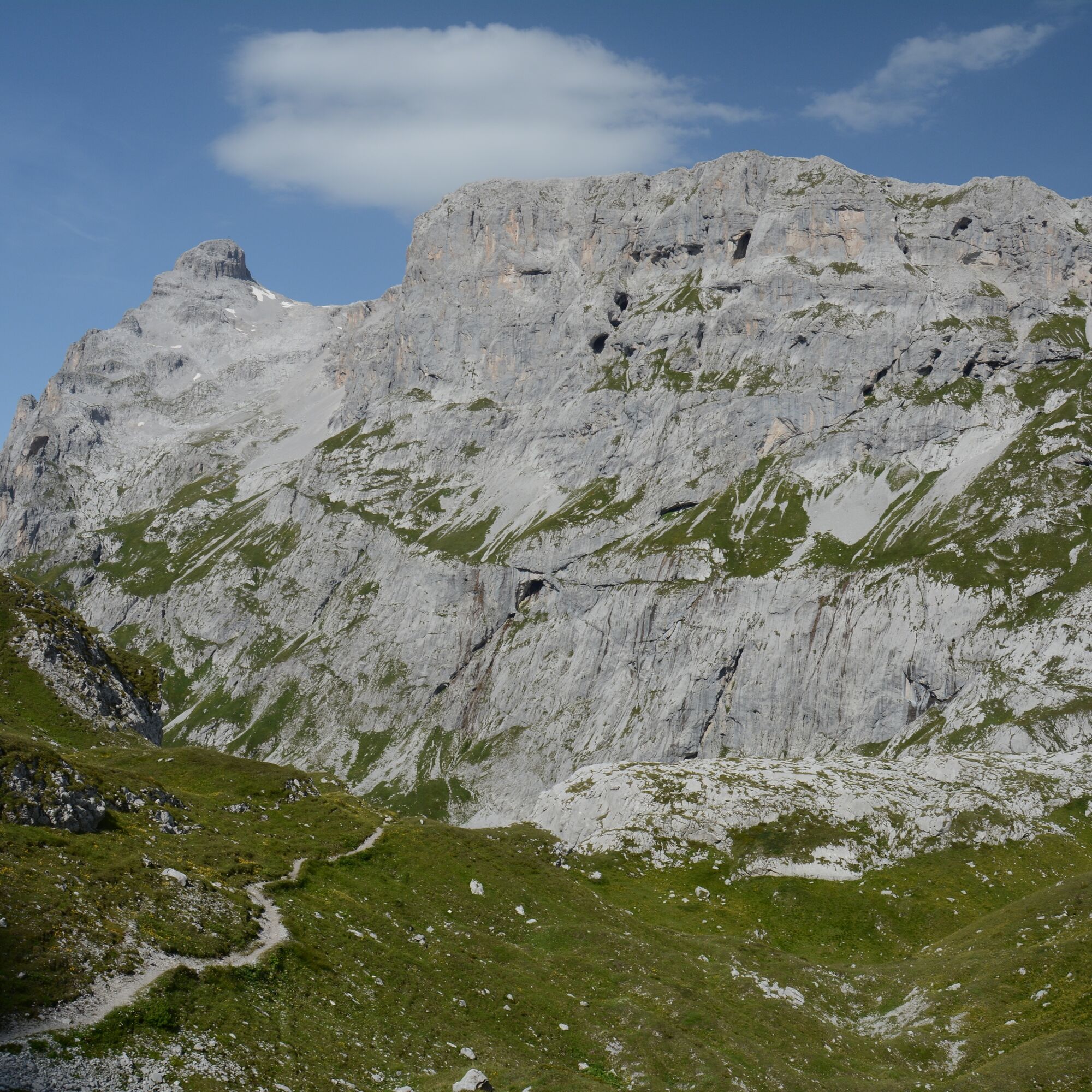
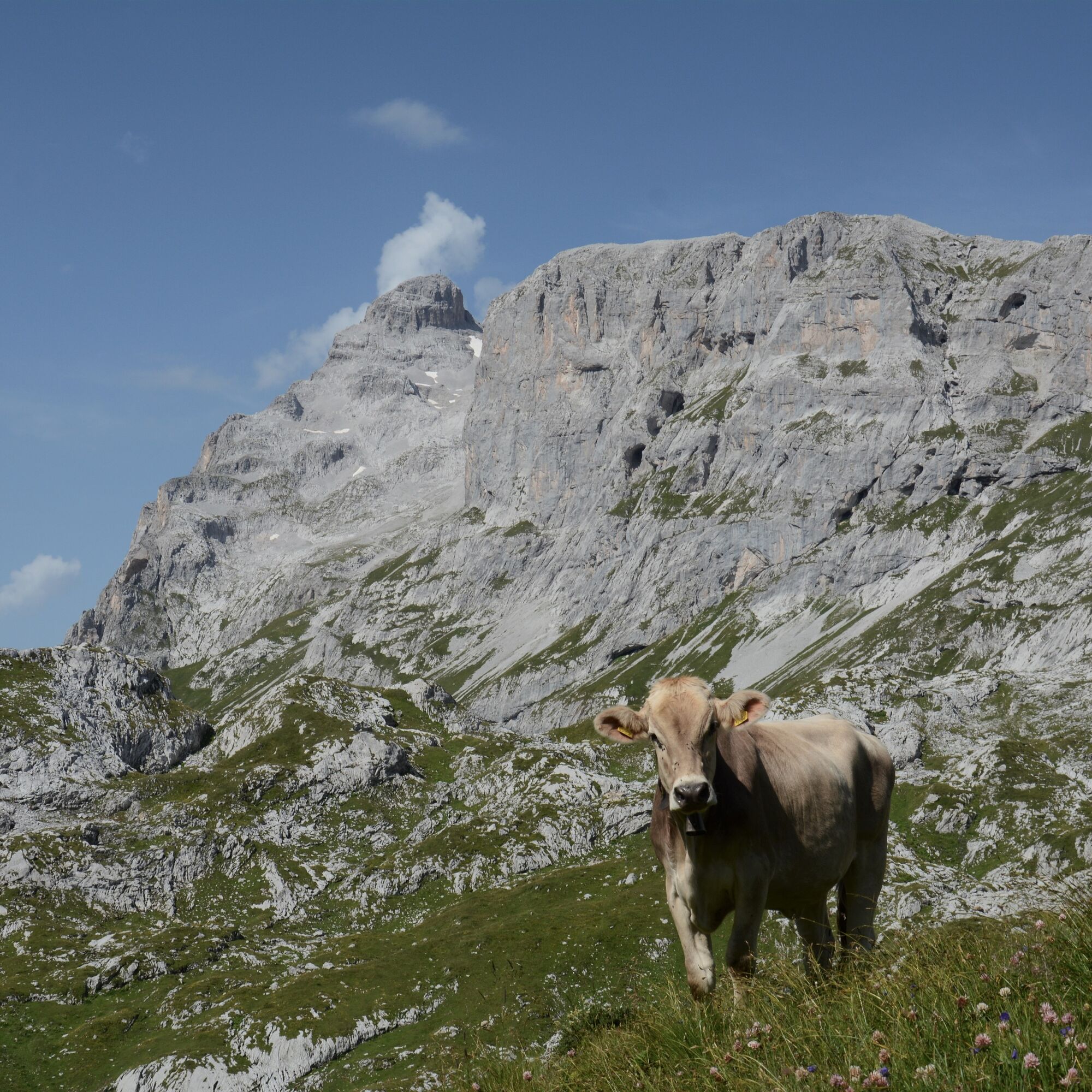
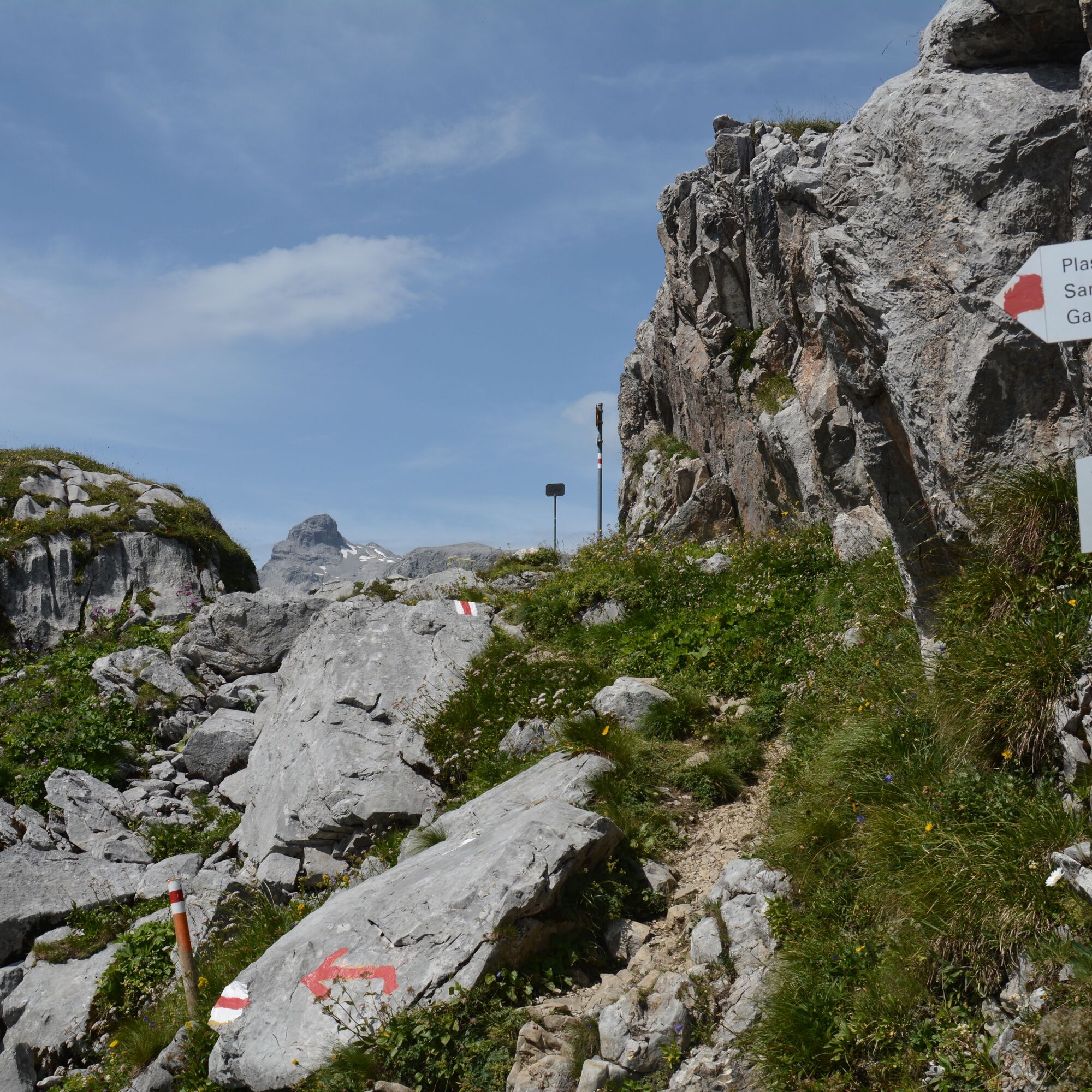

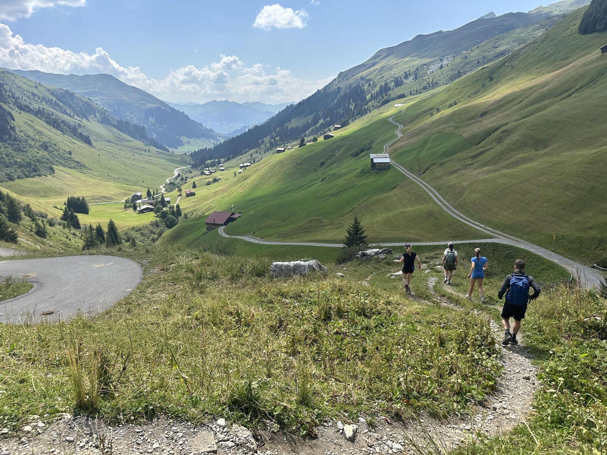
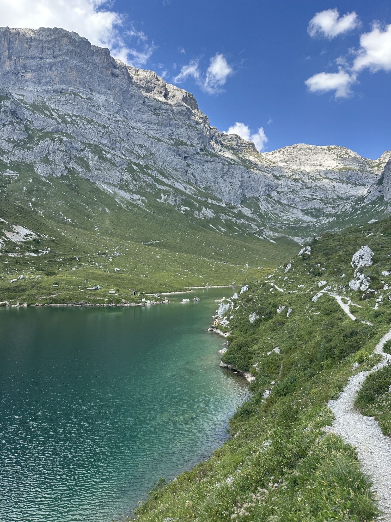
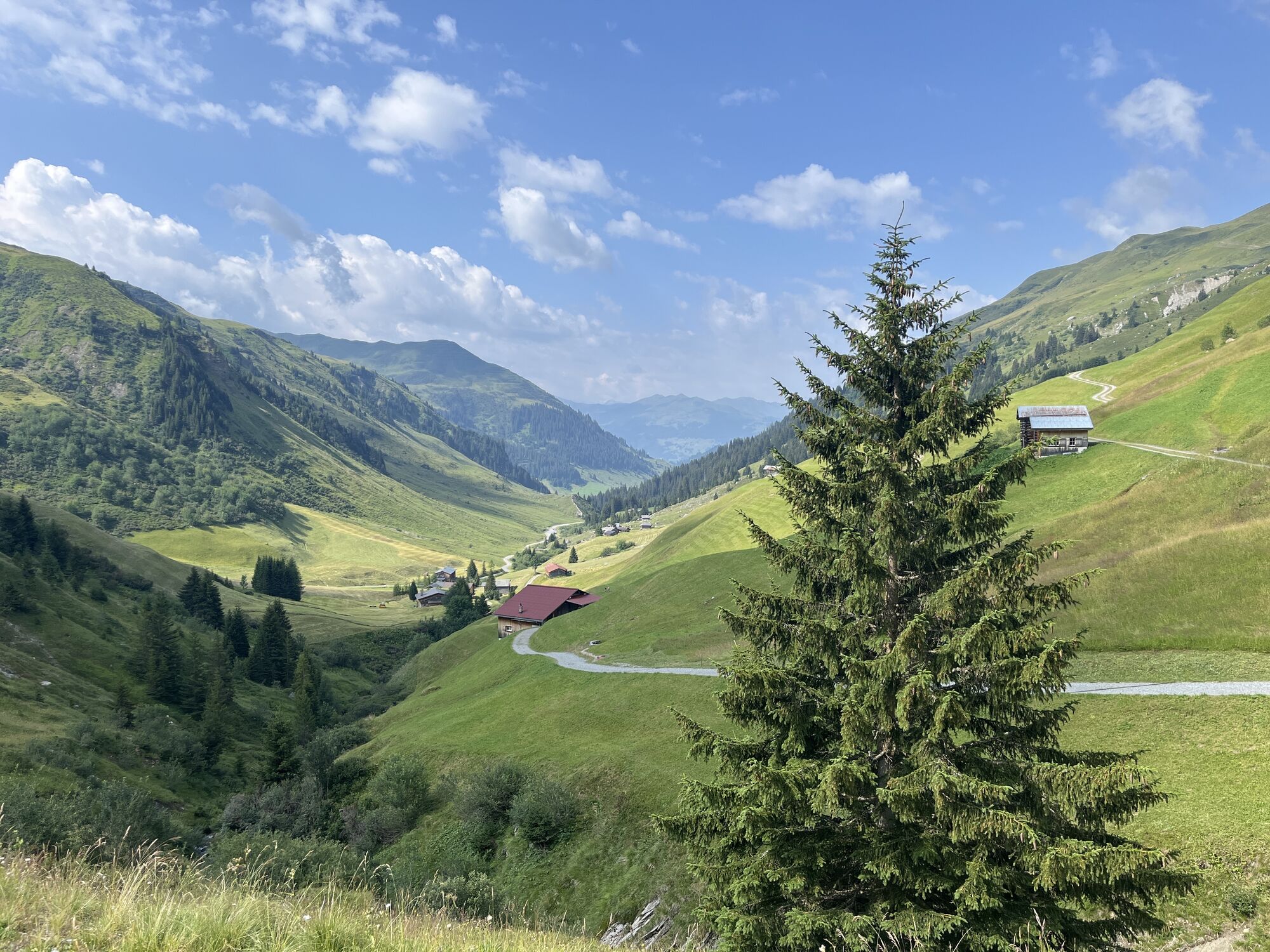
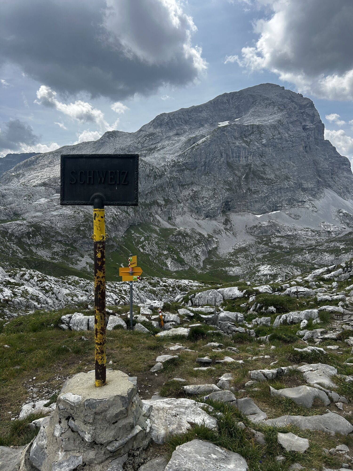
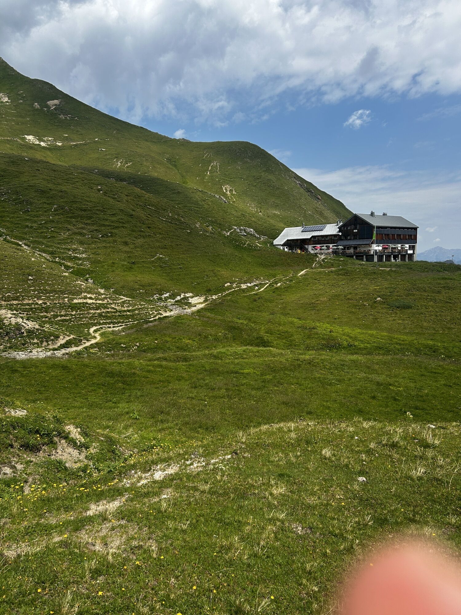
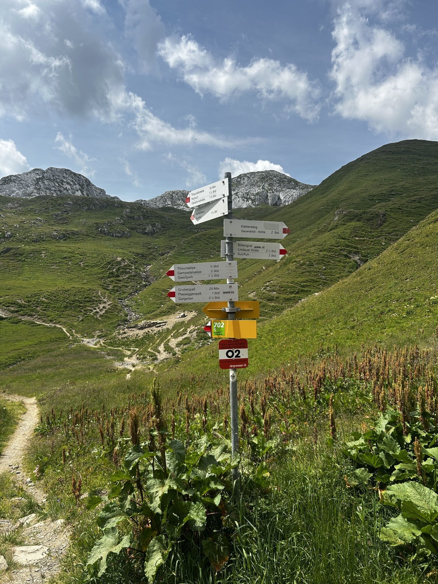
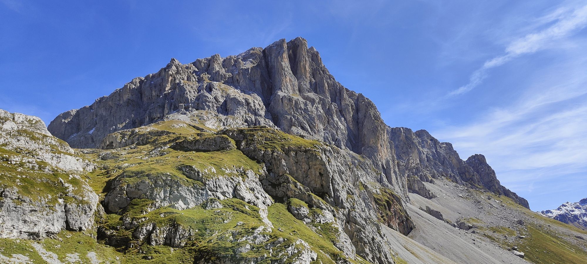
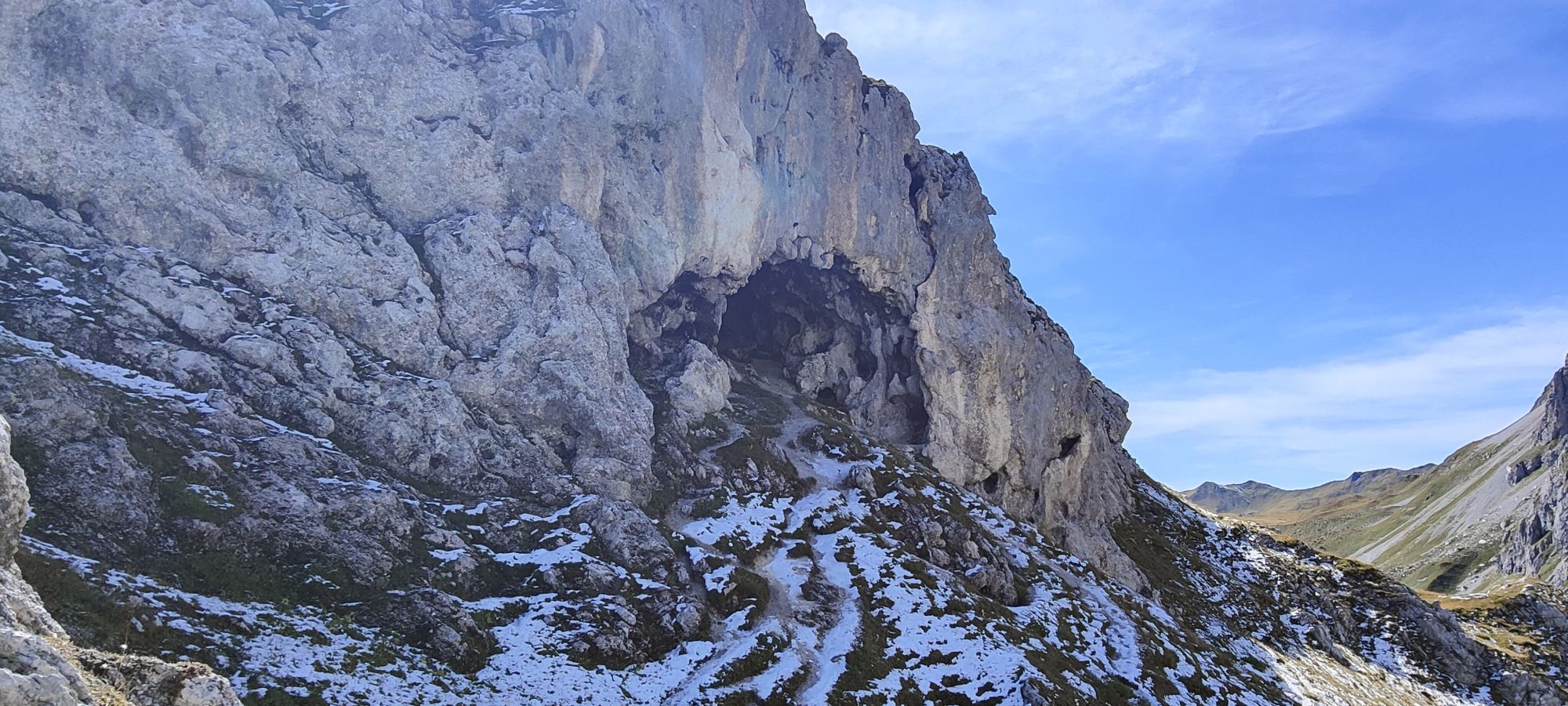
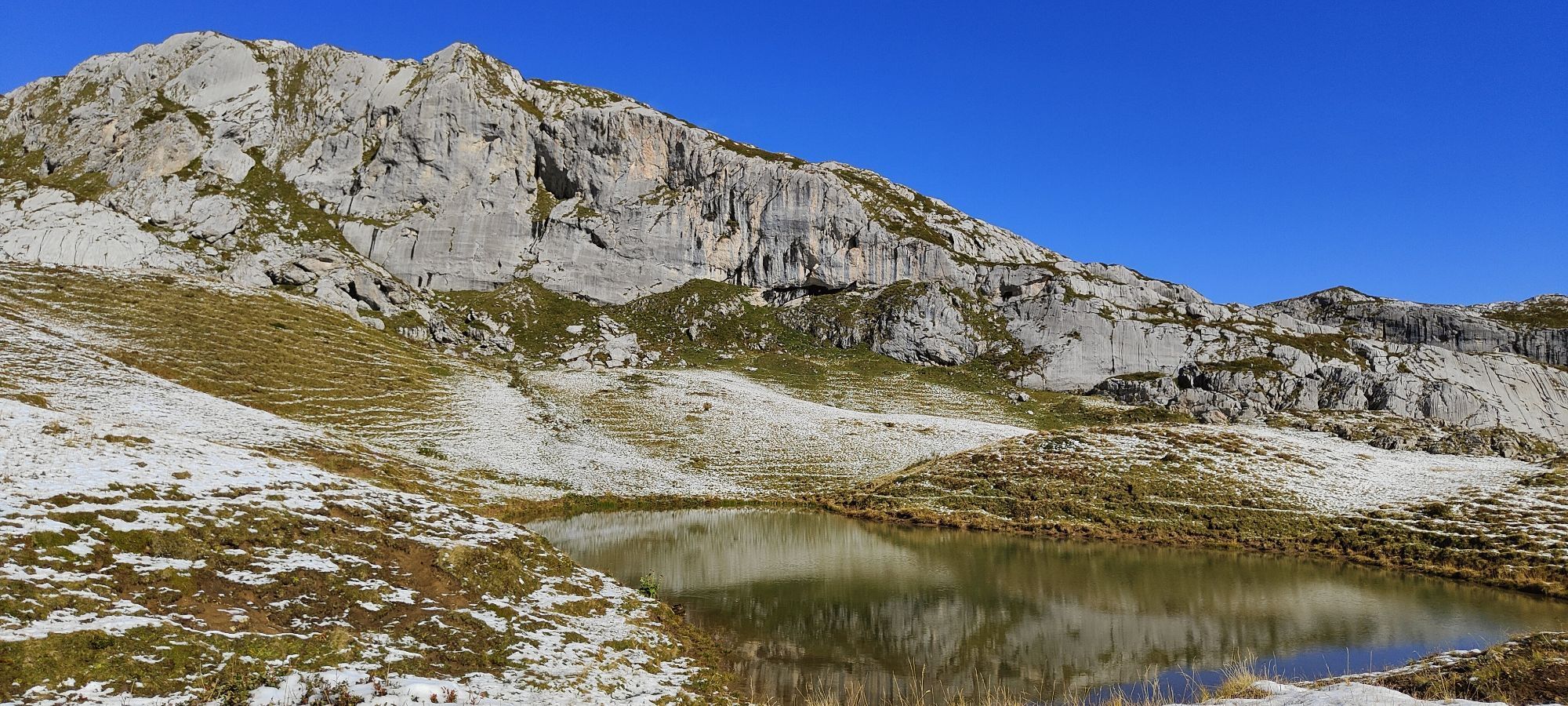
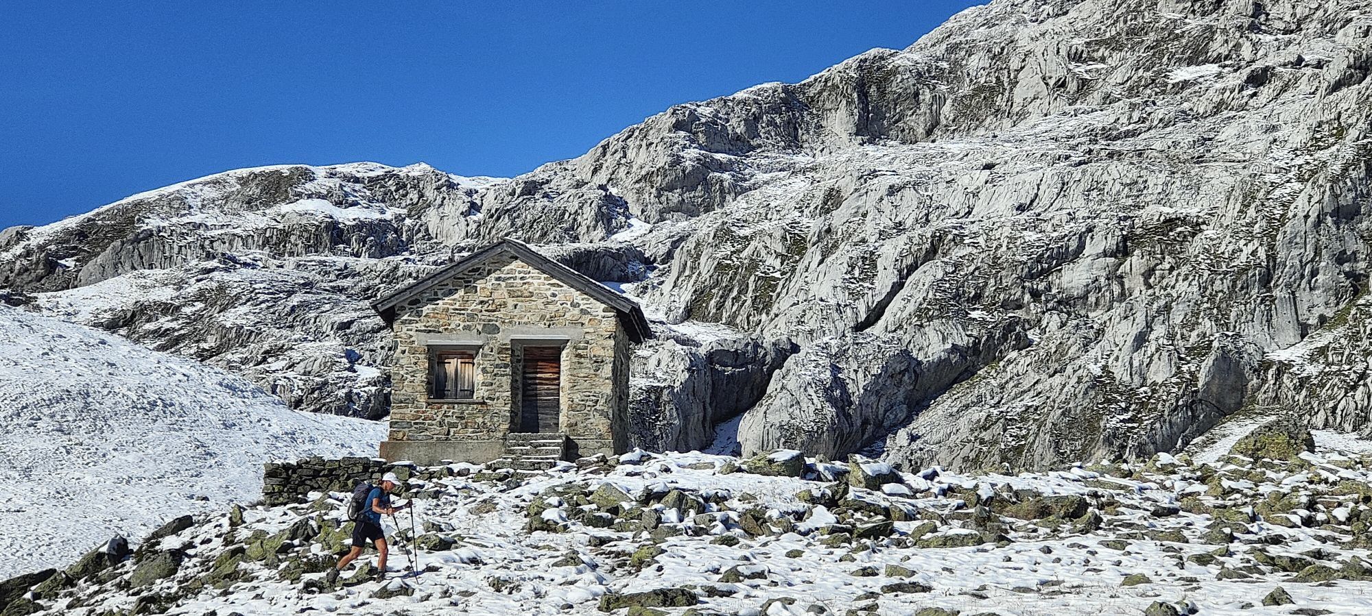
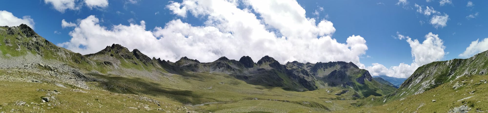
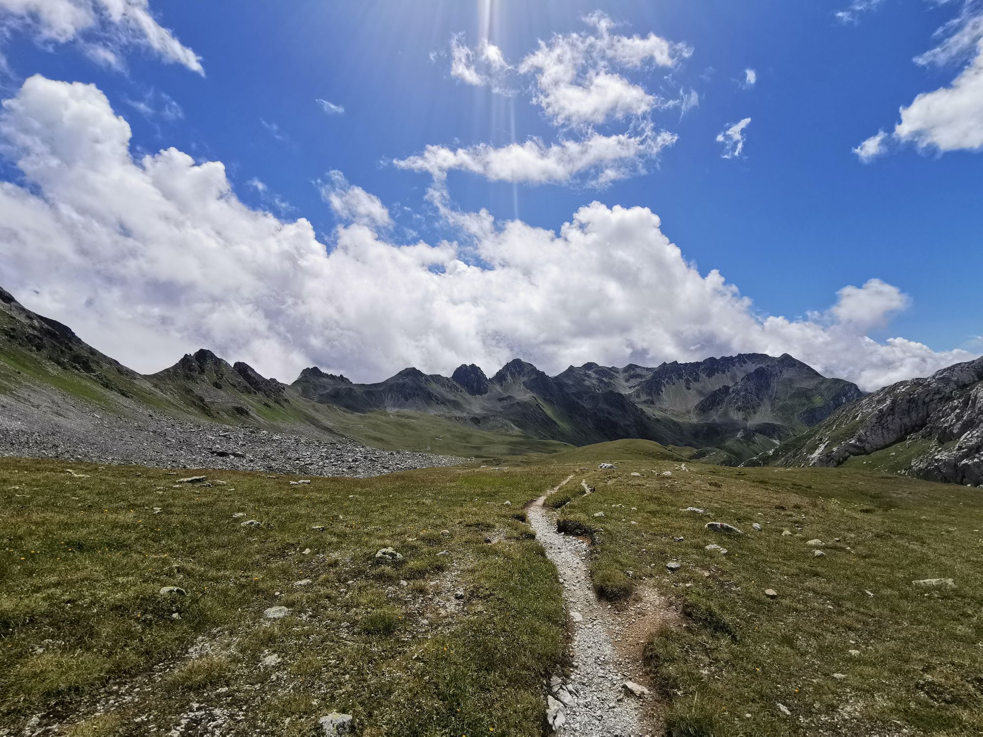
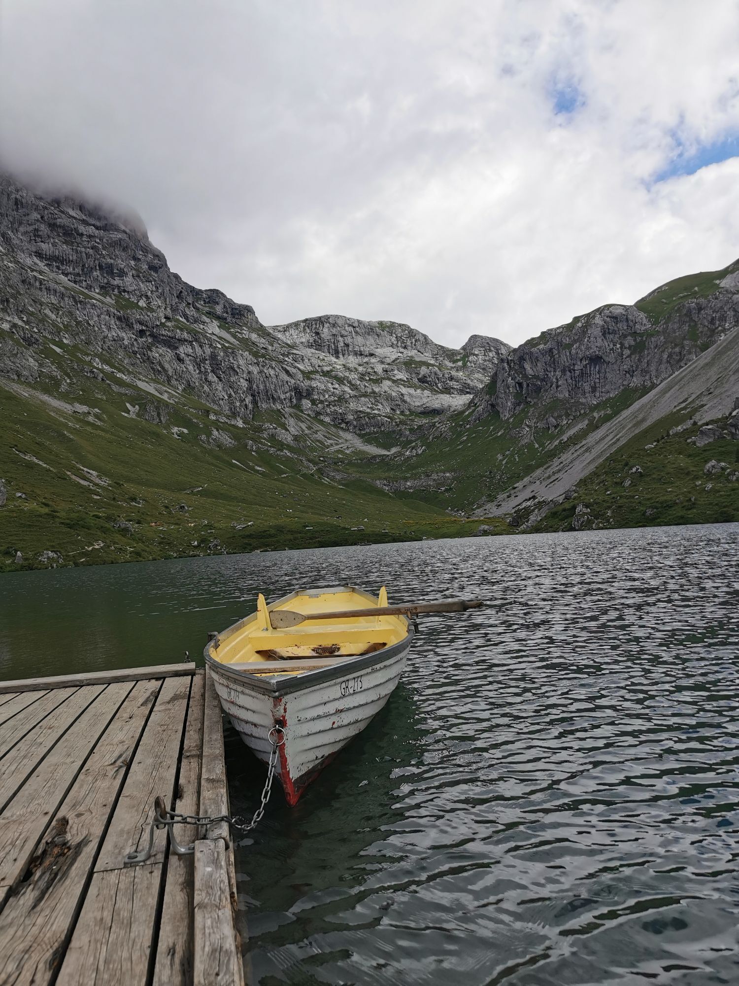
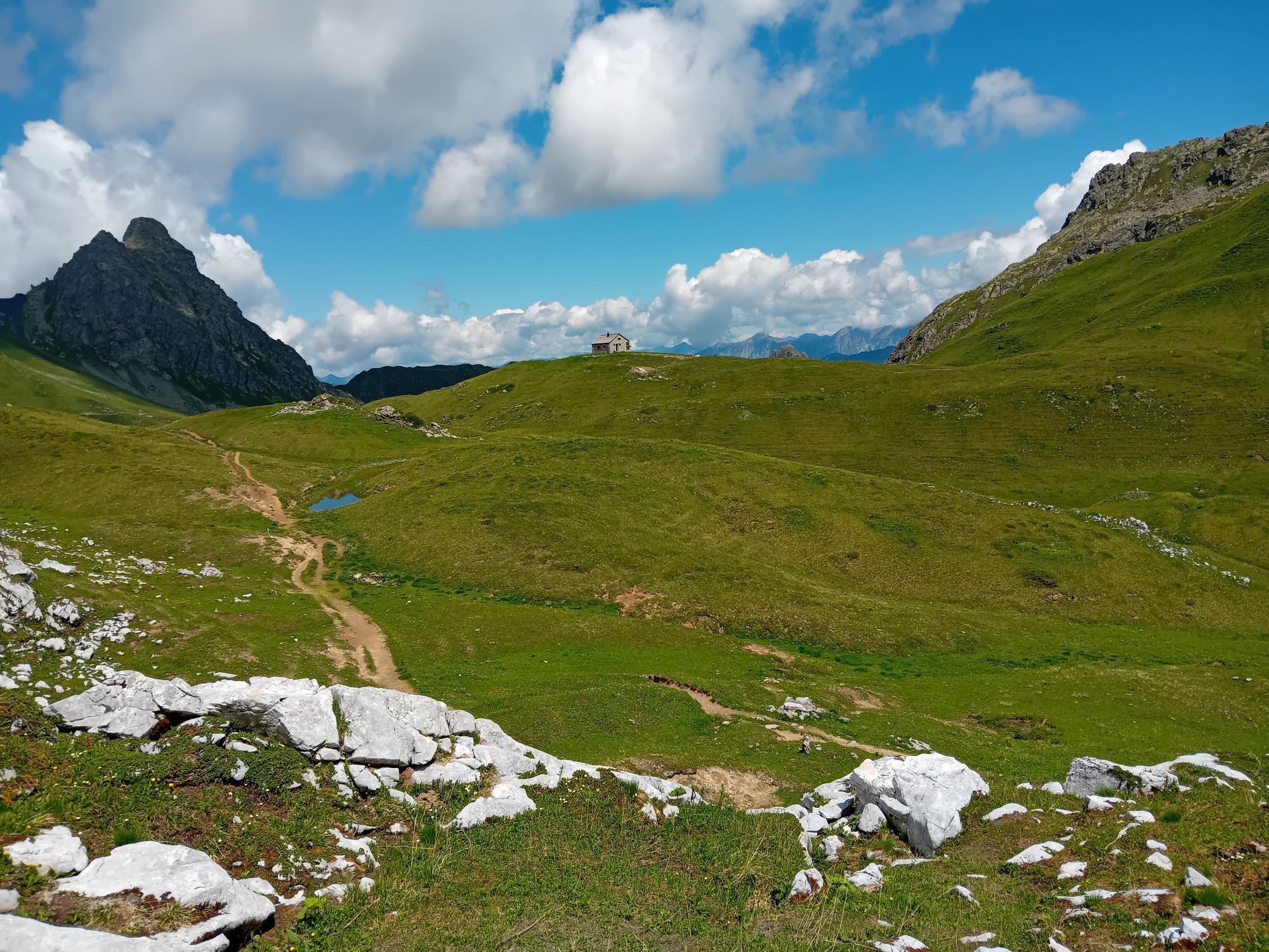
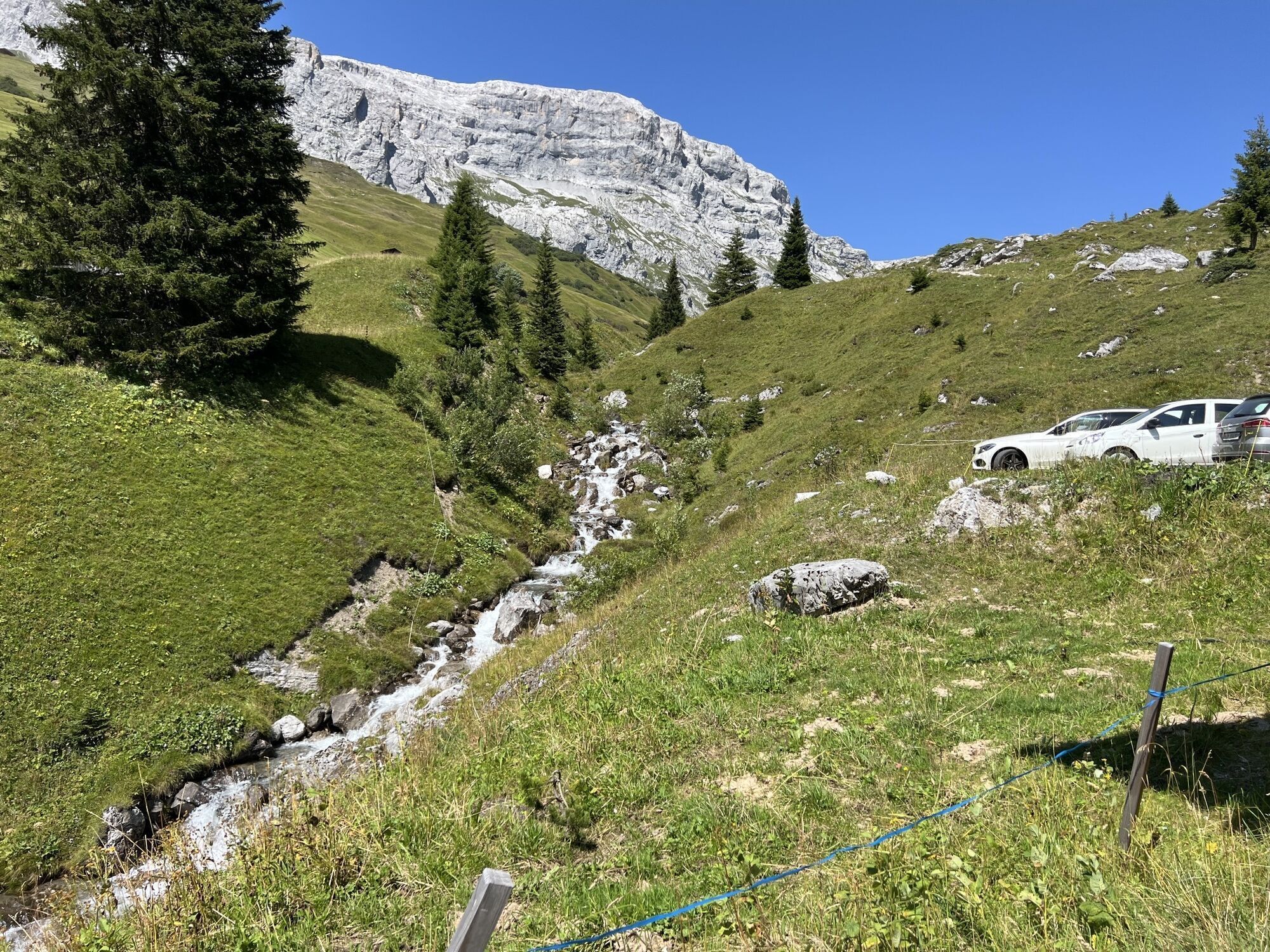
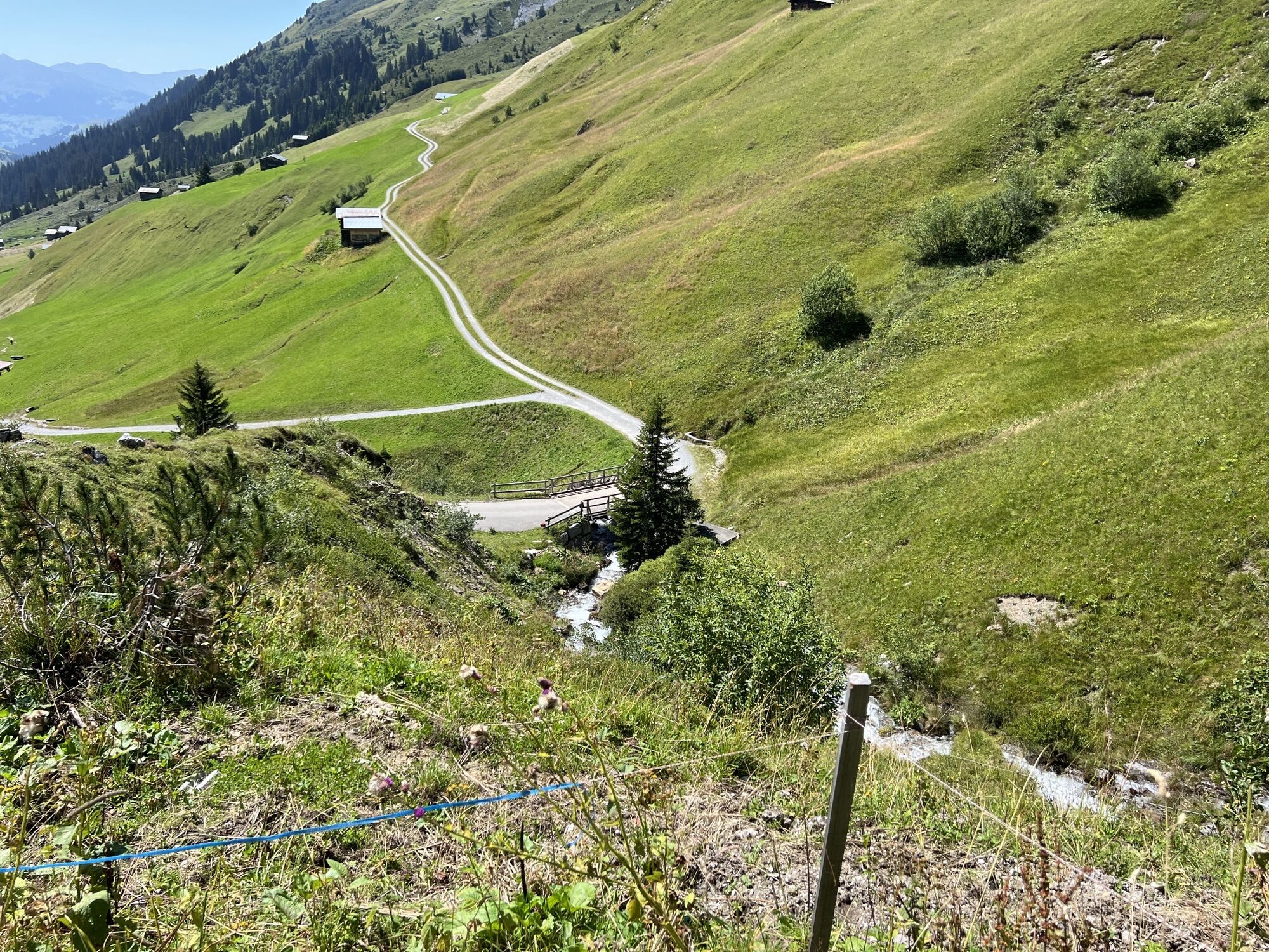
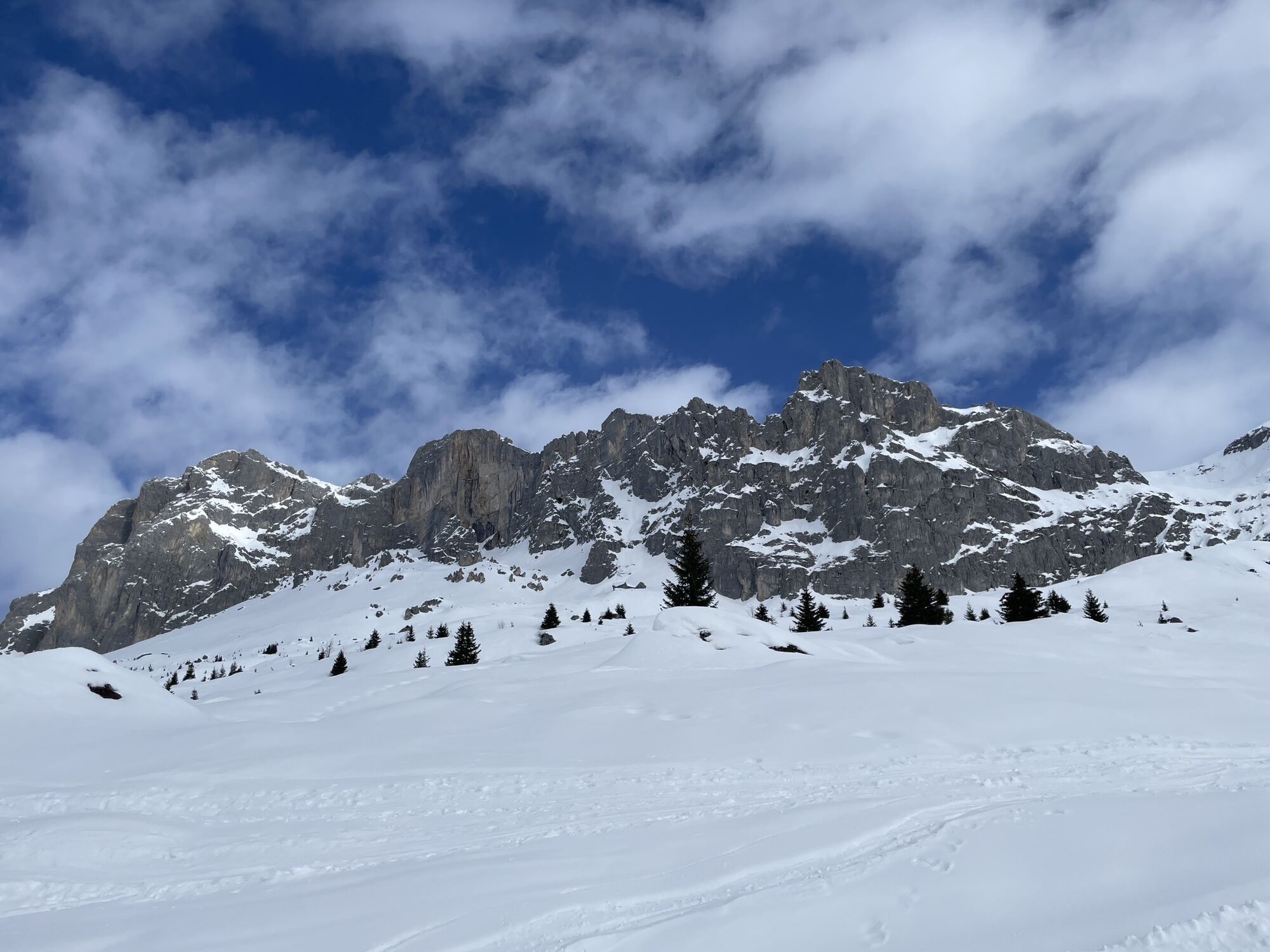
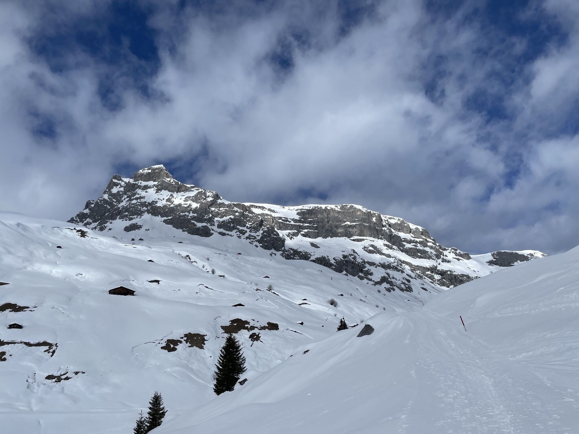
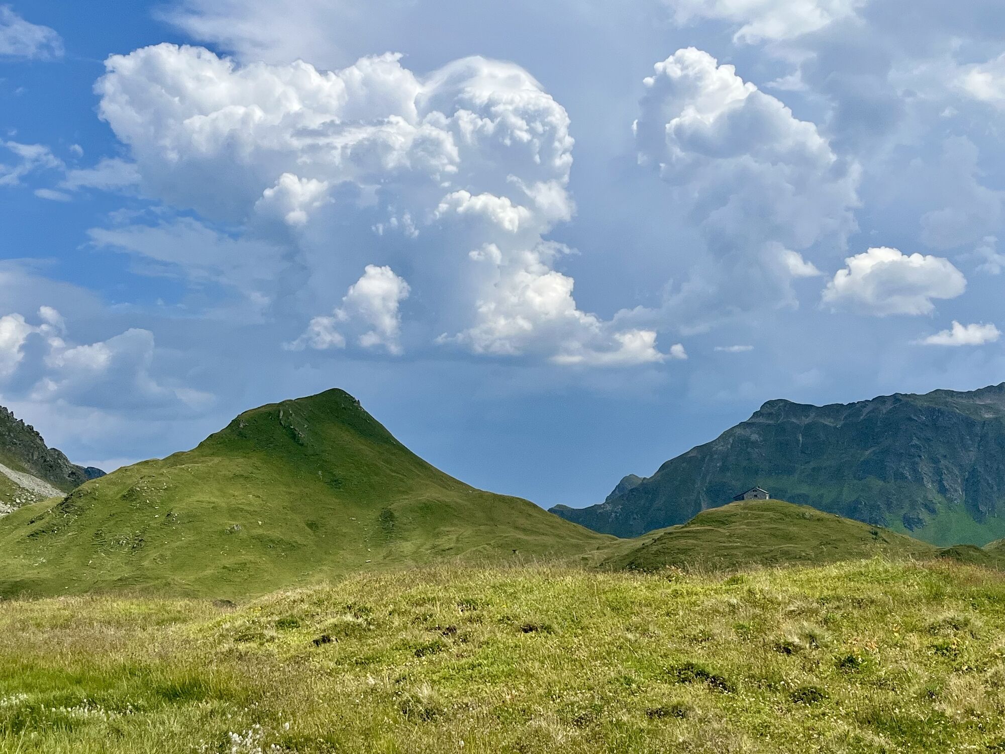
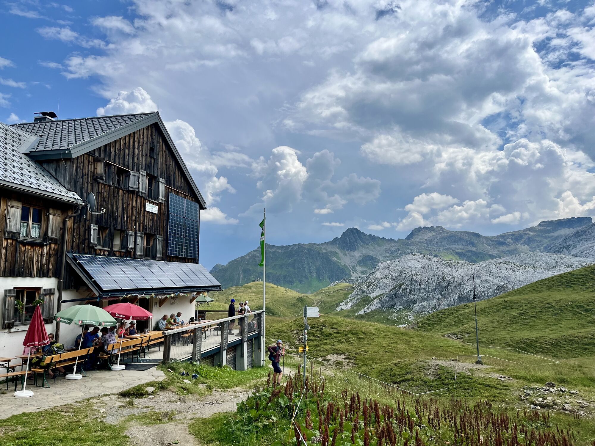
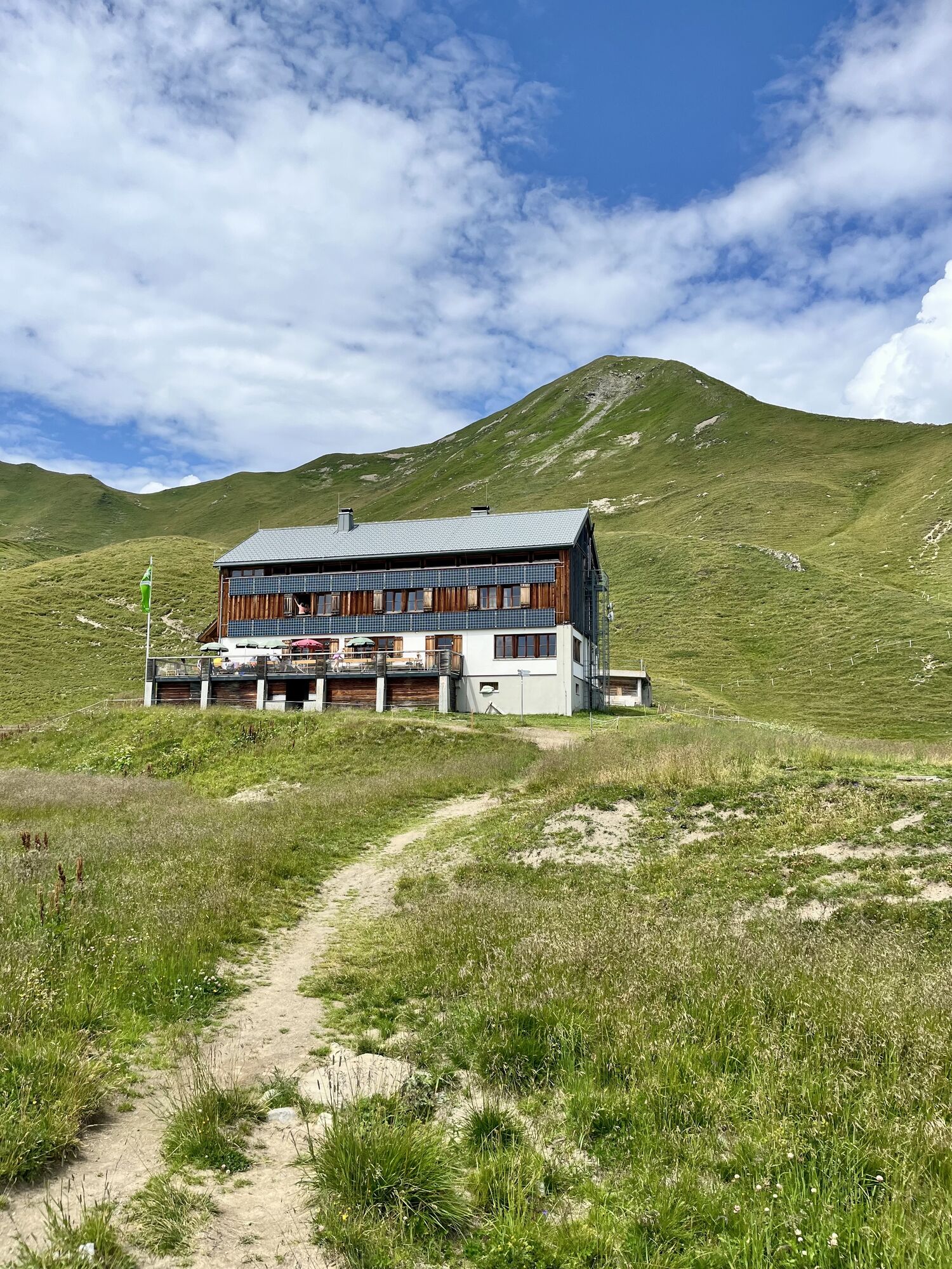
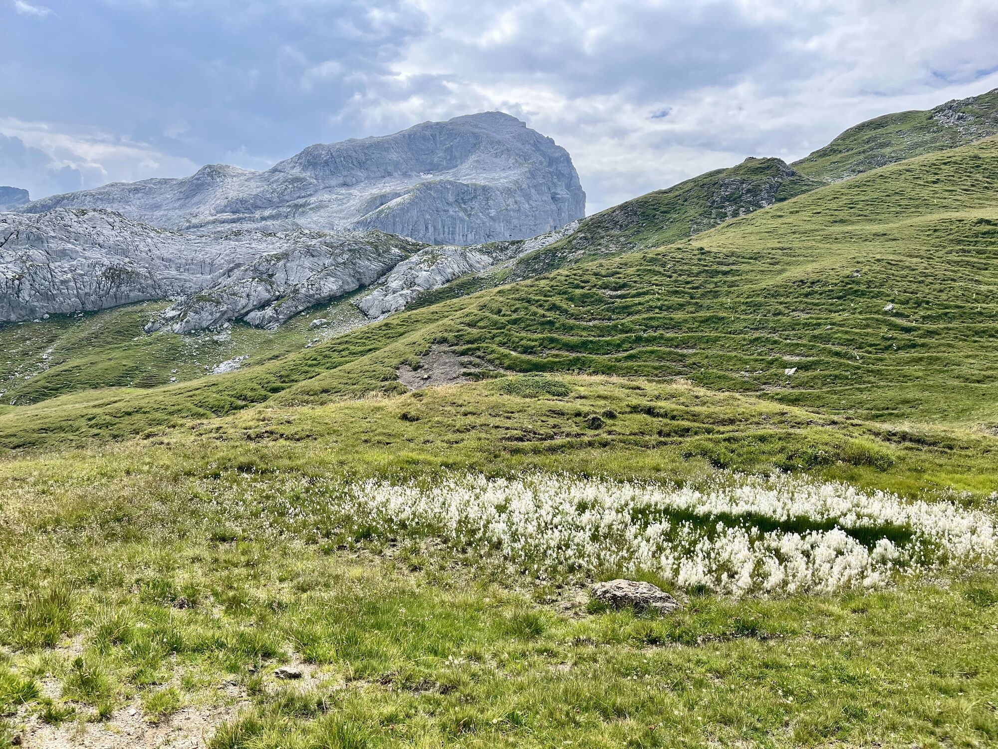
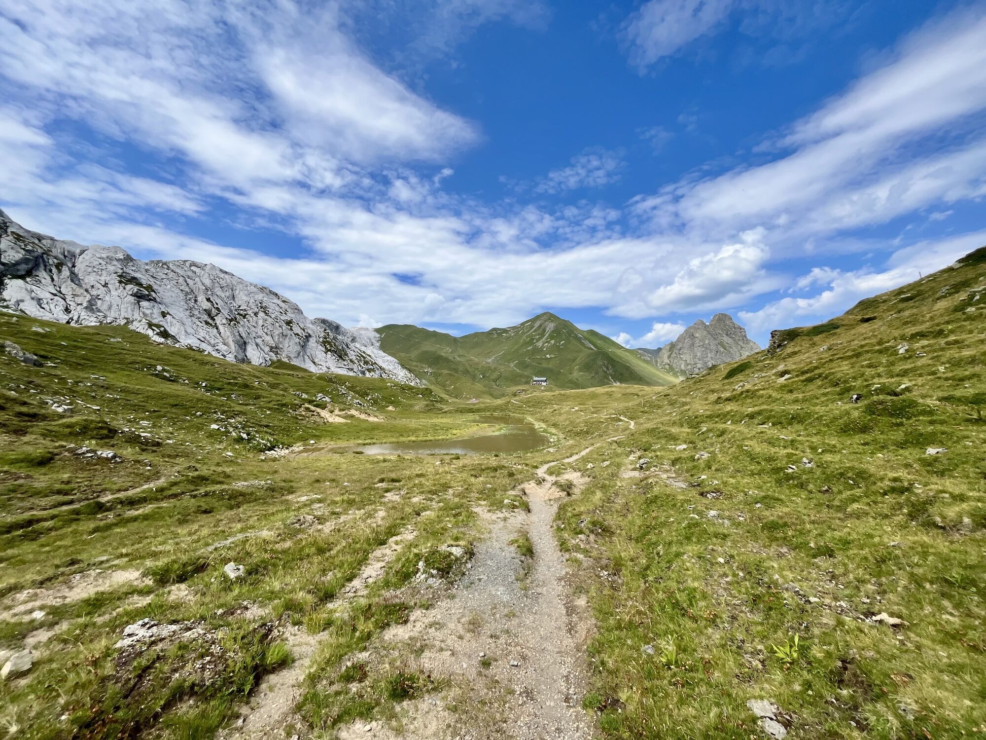
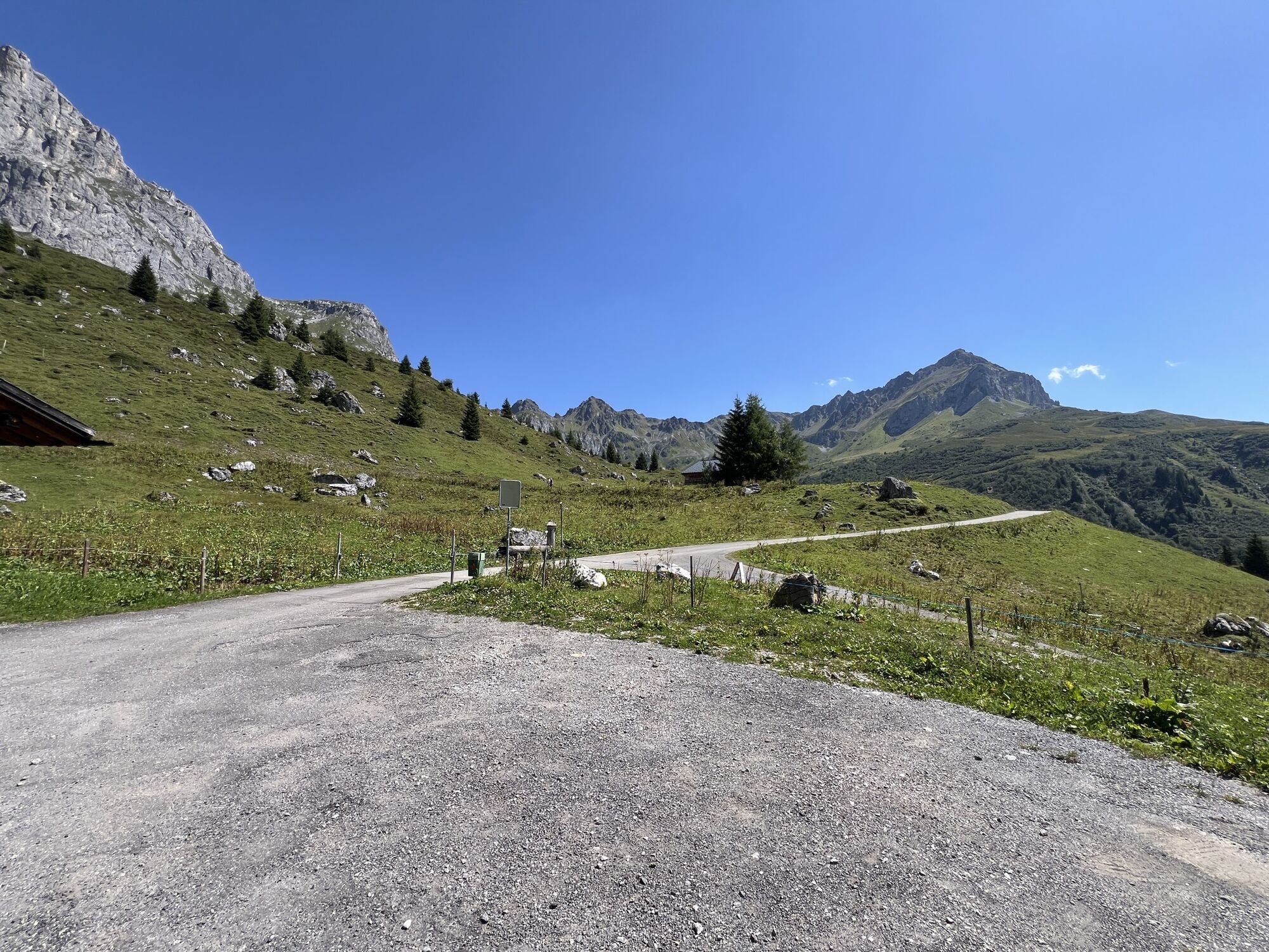
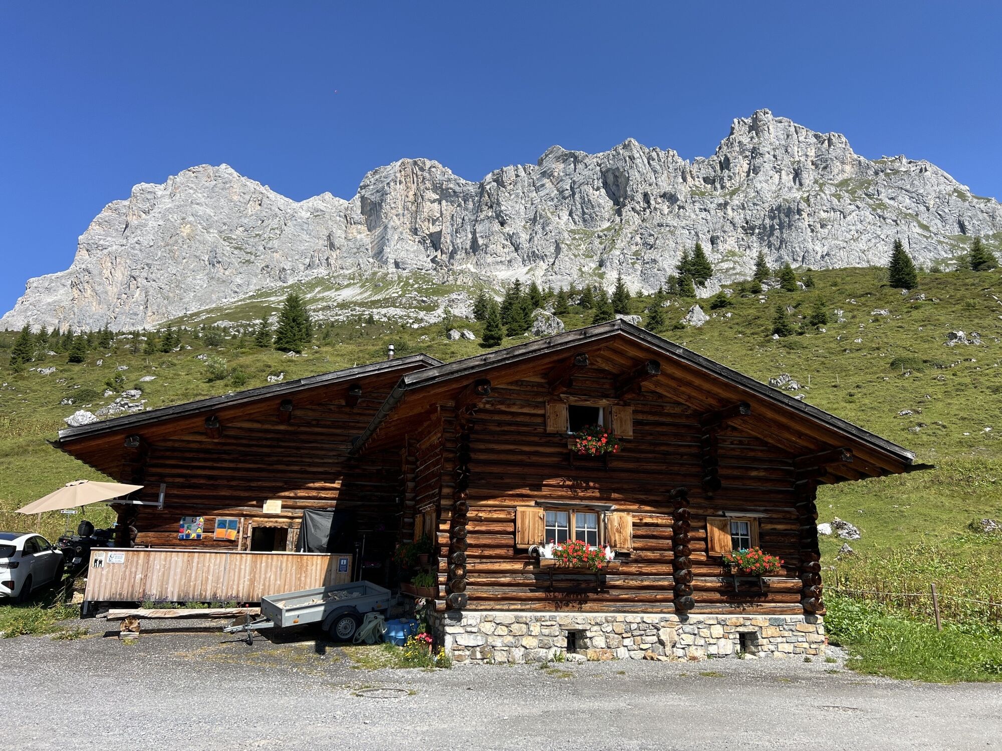
The starting point of the circular route is Partnunstafel (1763 m) at the foot of the Schijenflue, at the end of the St. Antönien valley, a side valley of the Prättigau. After a short ascent in the direction of the Tilisunahütte, you reach the emerald-green Partnunsee, which invites you to boat or take a refreshing swim. From here, the scree path first rises gently and after the "Tritt" (2044 m) crosses an impressive, grey rock karst landscape. On the left rise the rock walls of the Sulzfluh with its climbing possibilities and the Sulzfluh caves, once inhabited by cave bears, while on the right of the path the limestone walls of the Schijenflue tower. Further up, the path forks left towards Tilisunafürggli, the "green border" to Austria. From here, the landscape changes into a hill landscape covered with short grass, which accompanies us from now on. Keeping left, after a short descent you reach one of the oldest huts in the Rätikon, the Tilisunahütte (2208 m). Below it shines the deep blue Tilisunasee. After a short ascent to the Gruobenpass, the path gently undulates toward the Plasseggenpass. The high valley is bordered on the left by the dark mountains of the Platinaköpfe, Sarotlaspitzen, and Röbispitzen, while on the right the grey karst fields of Wiss-Platte and Schijenflue frame it. Shortly before reaching the Plasseggenpass, you pass a stone customs hut. At the Plasseggenpass (2354 m), the highest point of the hike, you cross the border back into Switzerland. The path over the wide grassland leads gently downhill past the Plasseggenhütte, a shepherd's hut. Shortly after, a very steep, short section zigzags down a scree path to a fork in the road. Here it goes abruptly right under the rocks and past "Weberlisch Höli." On the rock face, old characters and numbers written in "Rötel" are still visible. The view towards Partnunstafel and the valley widens, and through dwarf shrub heathland and lush alpine meadows, the path leads back to the starting point of the hike at Partnunstafel, where you can end the route at the mountain house Sulzfluh or Alpenrösli. From here, there is also the possibility to finish the last meters back to the car park with a kick scooter ride.
Áno
Snowfields are possible in the high sections even into the summer months. When ascending from Partnunsee, surefootedness is required. The scree path and brief sections on polished limestone rocks are often slippery, especially in wet weather. From the Tilisunafürggli keep left towards the Tilisunahütte (no signposts).
In reverse direction, during the descent to Partnunsee above the "Tritt" (2044 m), a good head for heights is necessary.
On the A13 and B28 to Küblis. After the roundabout, turn left towards Pany, Luzein, St. Antönien.
Take the Rhaetian Railway RhB to Küblis, then the PostAuto to St. Antönien, last stop Sagaris (July – October). Timetable field 90.222. Walk about half an hour on the hiking trail left of the Schanielabach to Partnunstafel or take the Bus alpin (reservations required) to Partnun.
All parking spaces in St. Antönien are paid. At the parking spaces, payment can be made in cash, Parkingpay app or Twint. The last parking lot P6 with day ticket is located below the Partnunstafel, about 3.5 km outside St. Antönien.
Pany-St. Antönien Tourism
Panyerstrasse 39
CH-7243 Pany
Tel. +41 81 300 32 22
info@pany-stantoenien.ch
www.pany-stantoenien.ch
Prättigau Marketing
Feldweg 19
CH-7233 Jenaz
Tel. +41 (0)81 325 11 11
info@praettigau.info
www.praettigau.info
Ride a kick scooter from the mountain lodges to St. Antönien Platz or the starting point of the route. A fun way to end a wonderful route!


Webové kamery z prehliadky
-
Pizzeria Barga
-
Grüneck Bergstation
-
Pizzeria Barga
-
Sücka Schlepplift Talstation
-
Gargellen - Haus Gadafent
-
St. Antönien - Skilift
-
Skilift St. Antönien
-
Tilisunahütte
-
Tilisunahütte
-
Gargellen
-
St. Antönien - Bord / Aschüel
-
Gargellen Süd
-
Gargellen West
-
Berghaus Sulzfluh
-
Berghaus Sulzfluh
-
Berghaus Sulzfluh
-
Gargellen - Alpenhaus Montafon
Získajte prehľad
Vždy naživo na mieste s viac ako 9 500 webovými kamerami. bergfex Ako používateľ Pro si teraz môžete pozrieť príslušné webové kamery pre mnohé zájazdy v aplikácii zájazdy z. Môžete si tak priamo prezerať aktuálne podmienky.
Aktivity počas prehliadky

Obľúbené výlety v okolí
-
4,8
Douglashütte - Schesaplana
strednáTuristika 7,31 km -
5,0
Ski tour to the Lindauer Hut (1,744 m)
svetloSkitour 14,0 km -
4,7
Smuggler’s path
strednáTematická trasa 8,60 km -
4,6
Over the historic mine and Fritzensee to Rellseck
strednáTuristika 7,25 km -
4,4
Golm-Rundwanderweg im Rätikon
strednáTematická trasa 7,28 km -
4,9
Douglasshütte, Lünersee, Gafalljoch Brand bei Bludenz, Vorarlberg
svetloTuristika 9,16 km -
4,7
Kristberg - Wasserstubental - Silbertal
svetloTuristika 13,8 km -
4,5
Madrisella summit path
strednáTematická trasa 10,8 km -
4,3
Golmerbahn Bergstaion Grüneck - Golmer Höhenweg - Geißspitze - Lindauer Hütte - Latschau
strednáTuristika 11,5 km -
4,9
Alpgues Runde
strednáTuristika 9,21 km
Turistika a stopovanie


Nenechajte si ujsť ponuky a inšpiráciu na ďalšiu dovolenku
Vaša e-mailová adresa bol pridaný do poštového zoznamu.





