






Circular hike Val Trupchun in the Swiss National Park

The hike starts at the Prasüras parking lot in S-chanf, which can be reached by bus, car, or the small train Express Parc Naziunel. To the right of the parking lot, past the fire pit, the hiking trail...
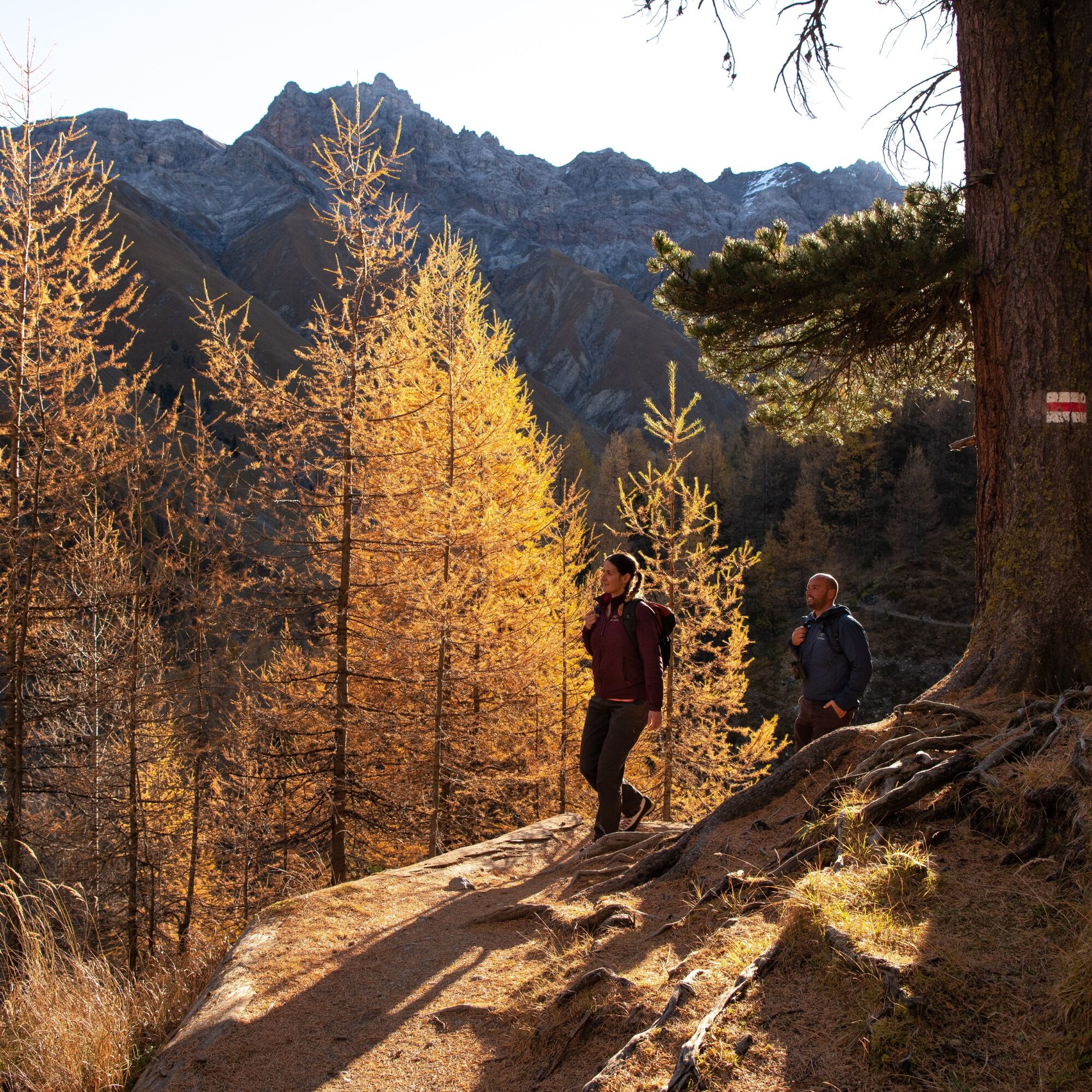
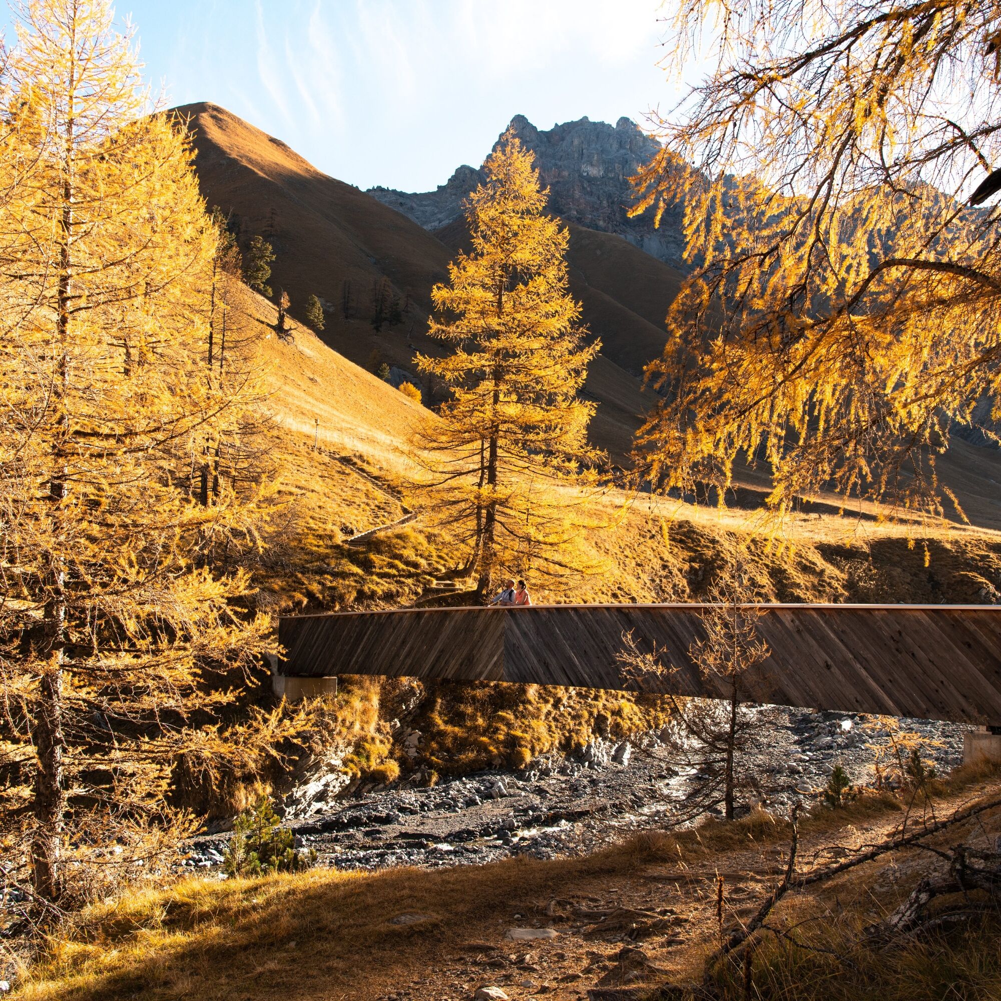
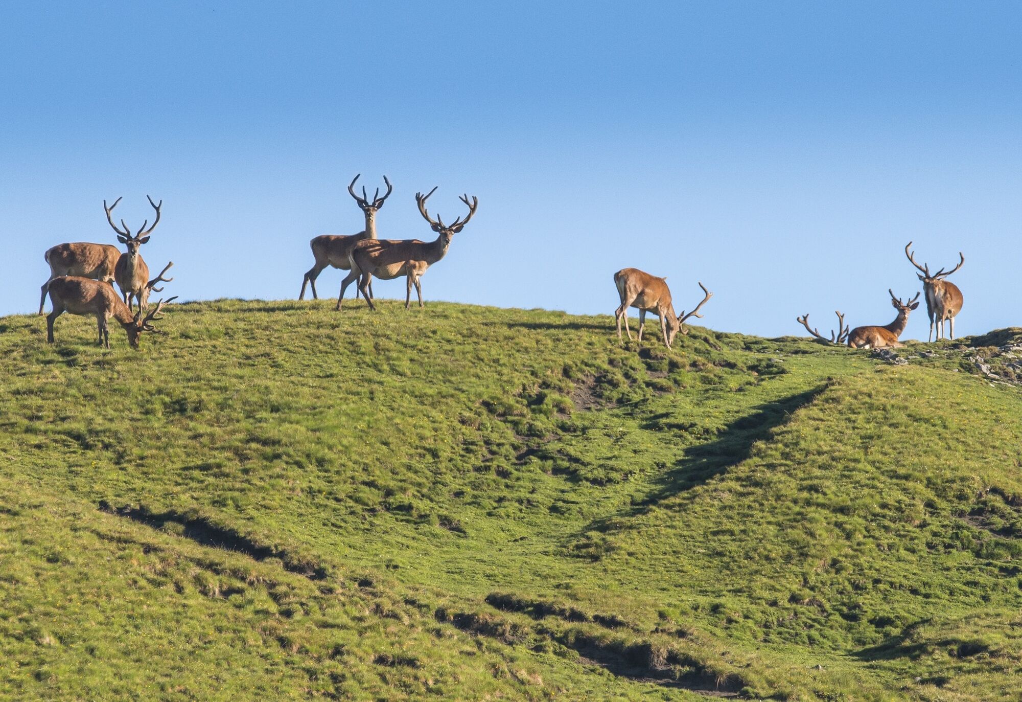
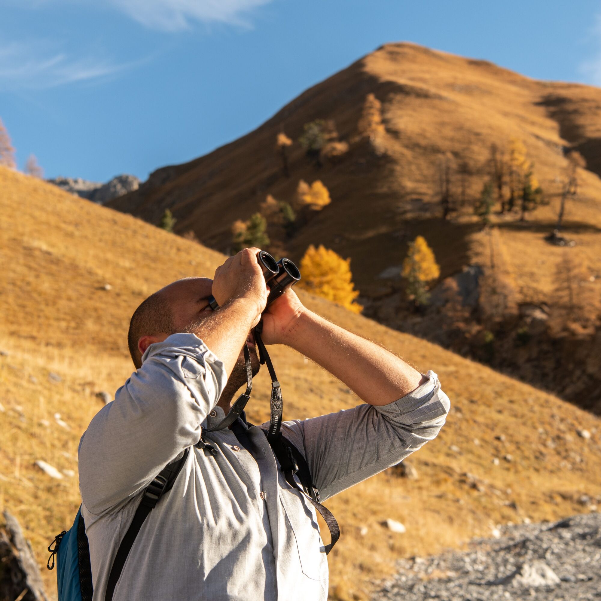
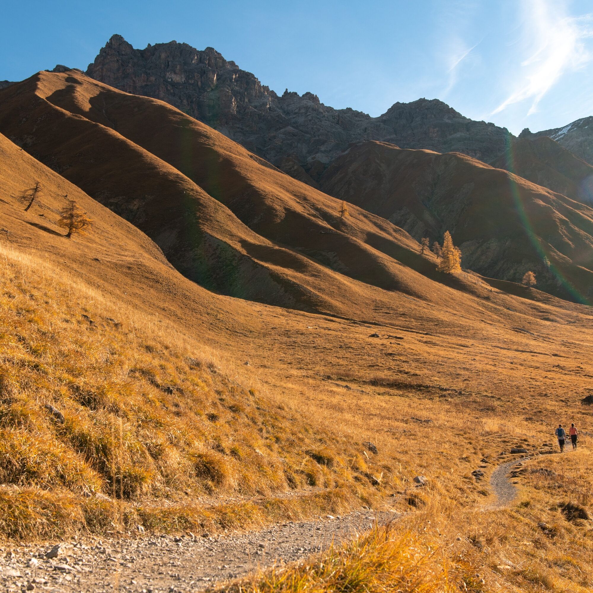
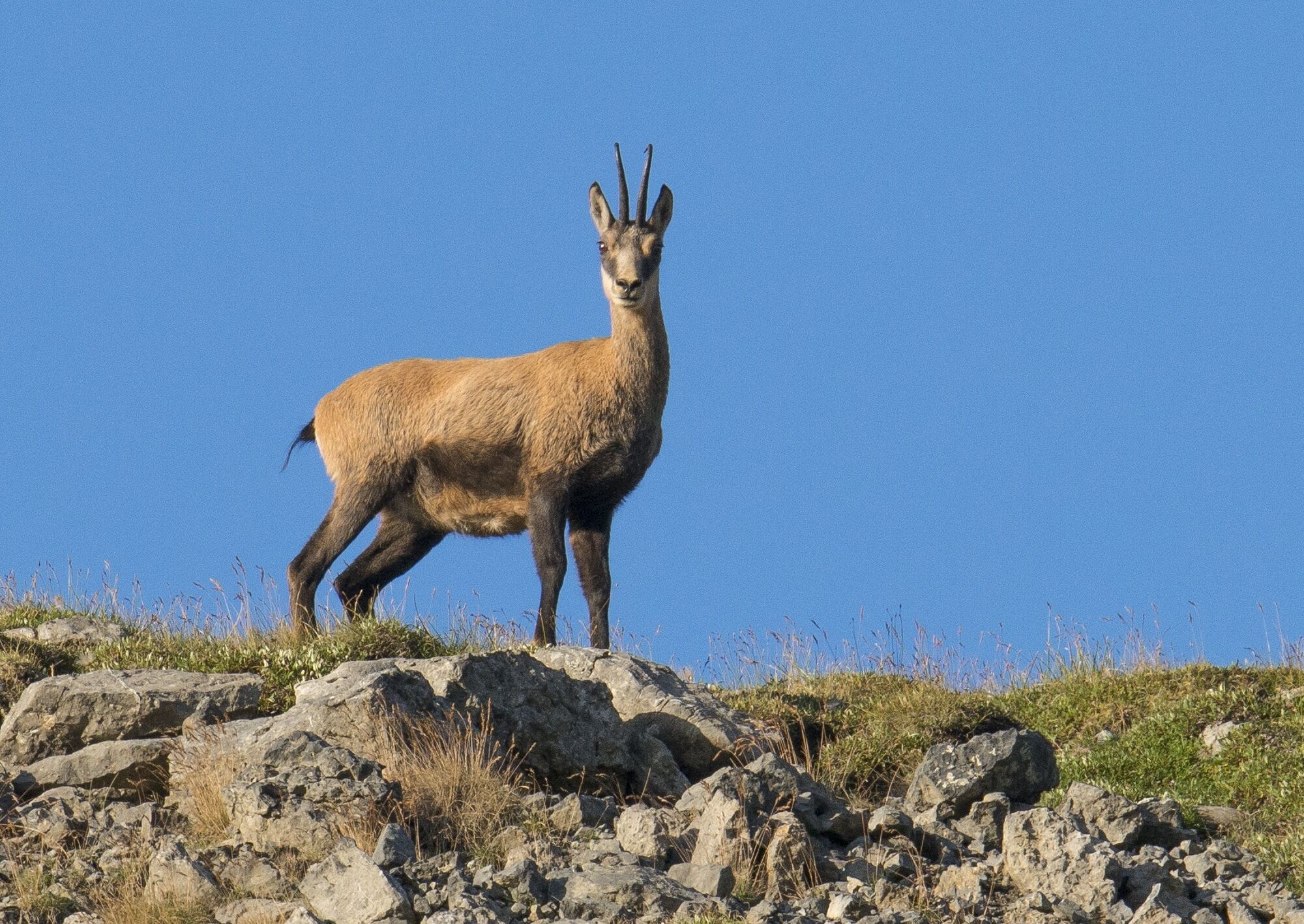
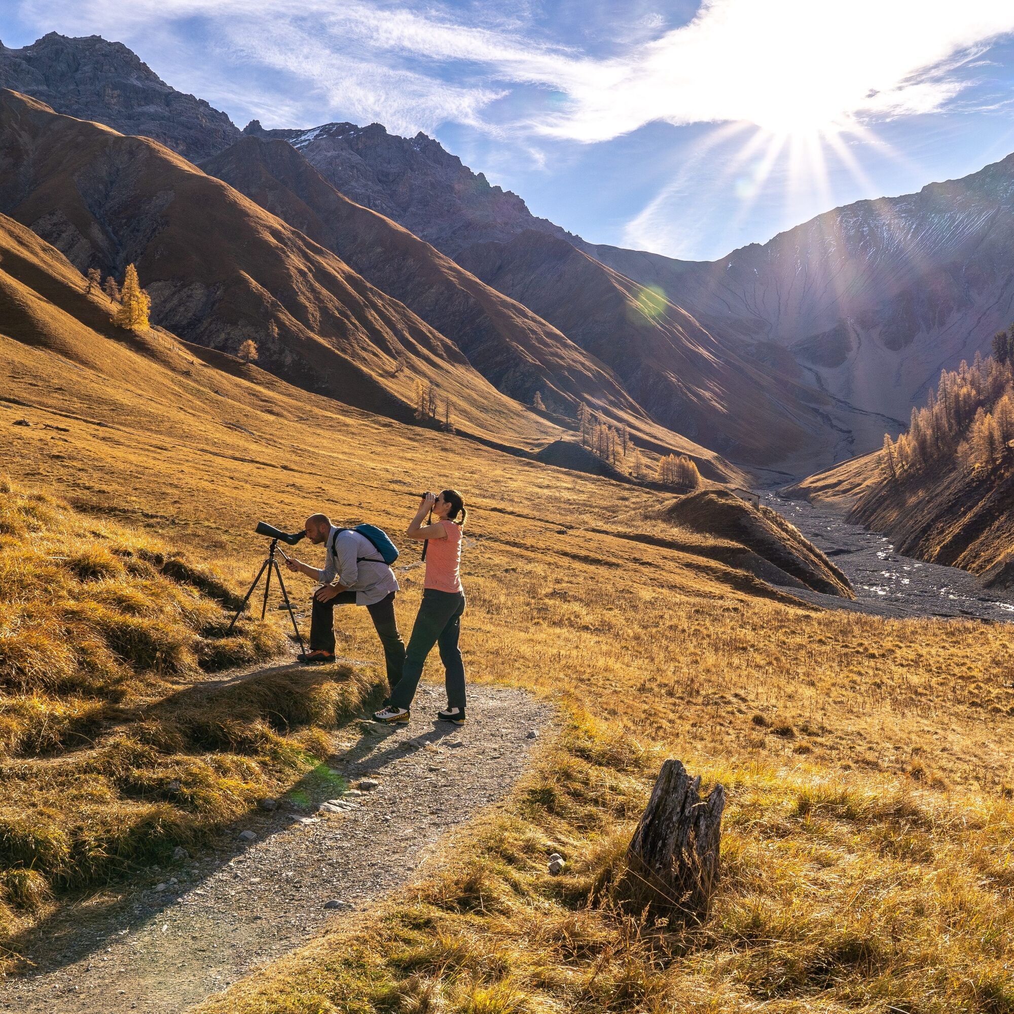
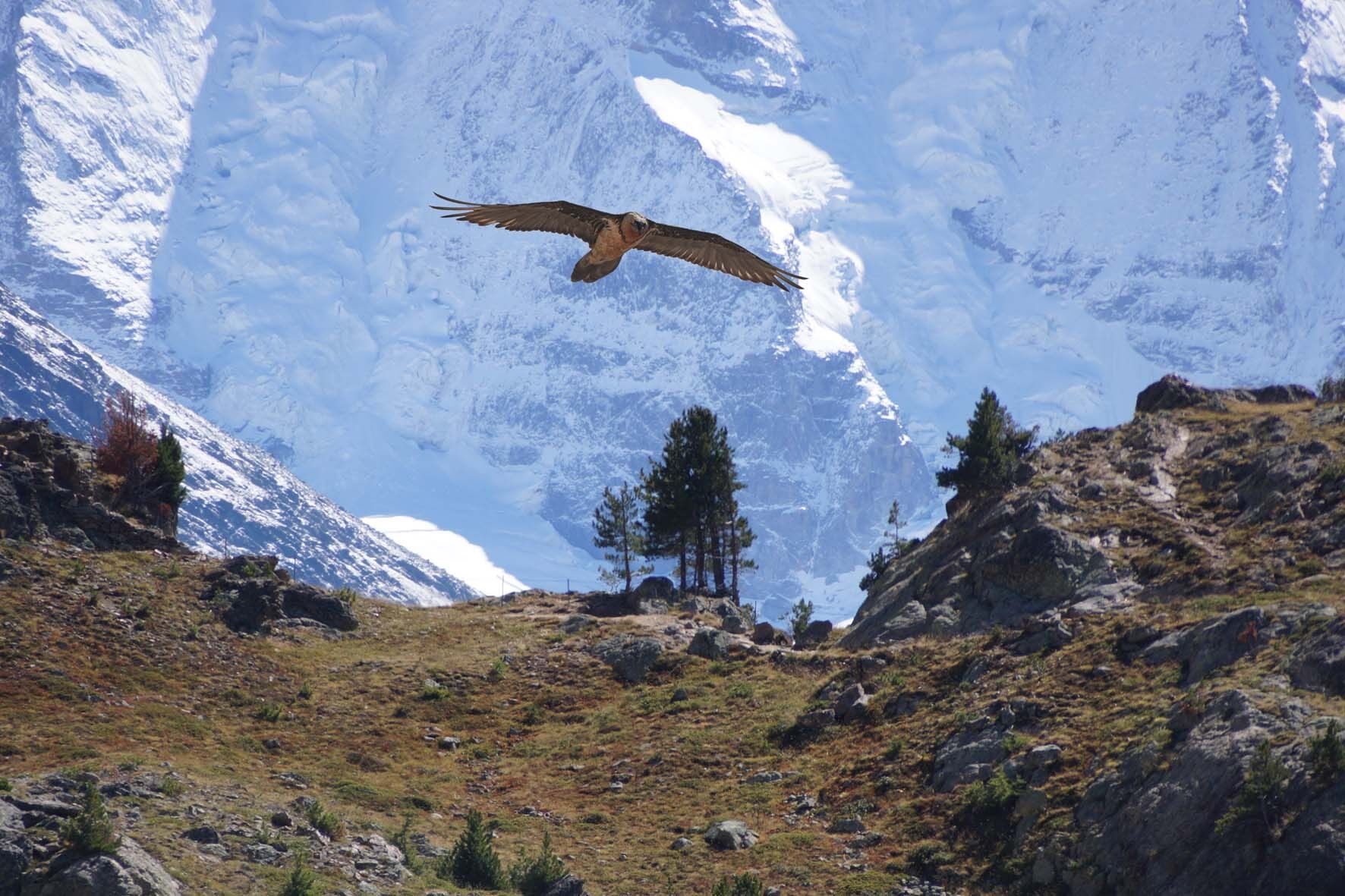
The hike starts at the Prasüras parking lot in S-chanf, which can be reached by bus, car, or the small train Express Parc Naziunel. To the right of the parking lot, past the fire pit, the hiking trail leads up into the forest. At the first fork, the path to the left leads toward the Swiss National Park. At the Punt da Scrins bridge, follow the road uphill to the right until the hiking trail turns sharply left and shortly after you find yourself in the National Park. Please be sure to familiarize yourself with the park rules on the information board! Following the high path, you hike into the valley. With binoculars or good eyesight and a little patience, chamois, deer, or ibex can be observed, and often eagles circle in the sky, and with luck even the bearded vulture. The valley is also geologically interesting. The path then leads down to the Ova da Trupchun, which is crossed via a wooden bridge and merges into the valley trail. Following this path further into the valley, you reach after a few steps the first rest area in the midst of many marmots, which can be watched playing. Further on, at Alp Trupchun, is the second rest area. Here you can observe wild animals in a large surrounding area.
The return route leads back along the valley trail via the Varusch park hut on the road back to the Prasüras parking lot.
Further information
Engadin Tourism AG
Via Maistra 1
CH-7500 St. Moritz
Phone: +41 81 830 00 01
E-mail: allegra@engadin.ch
Internet: www.engadin.ch

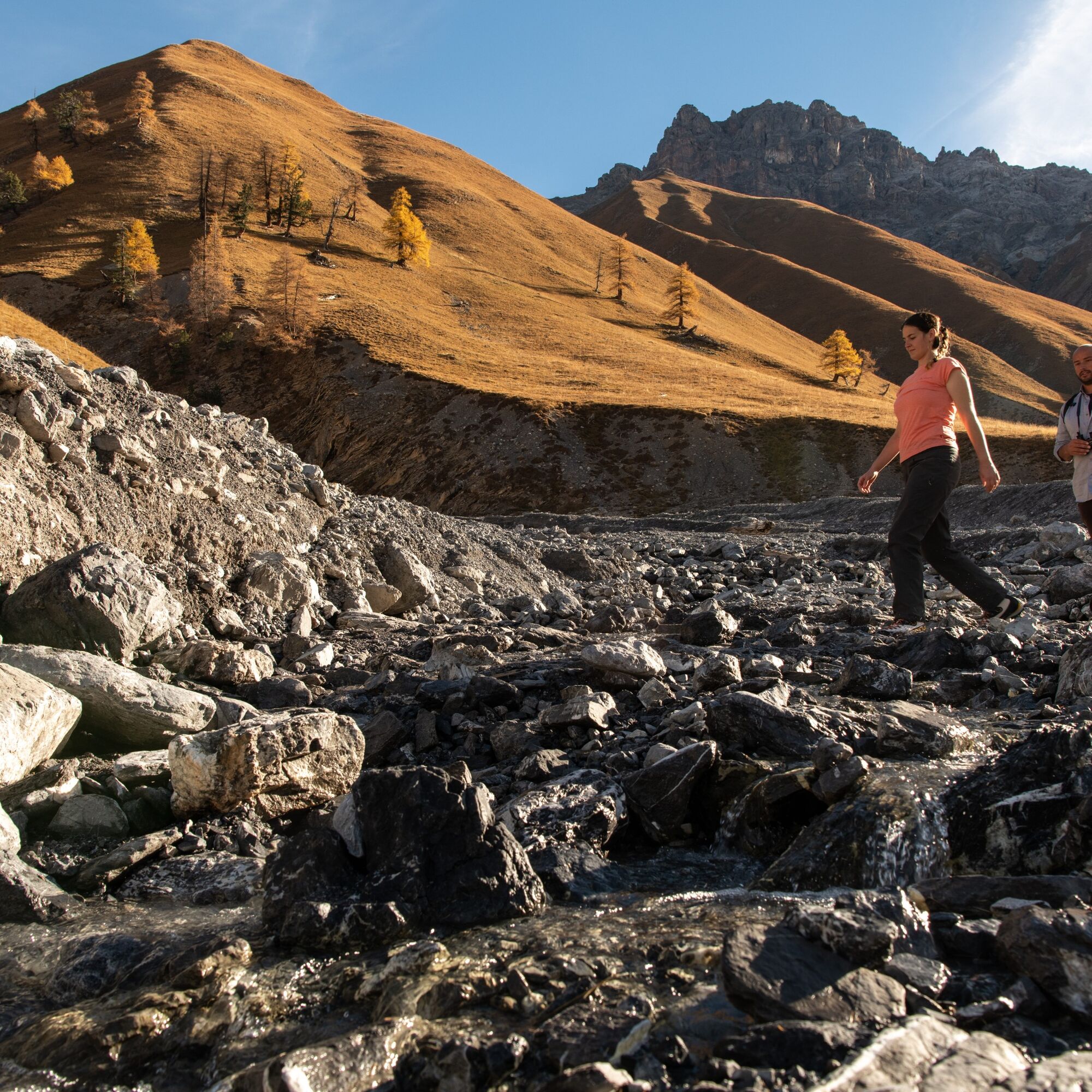


S-chanf – Val Trupchun – S-chanf
Áno
Áno
Don't forget to bring binoculars.
Arrival: By train (RhB) to S-chanf.
Departure: By train (RhB) from S-chanf.
Right at the beginning of the Val Trupchun hike, before entering the forest, there is a large parking lot.
The Swiss National Park: The Swiss National Park (SNP) is the largest wilderness area in Switzerland. This unique natural oasis covers 170 km2 of untouched natural landscape with 100 km of marked hiking trails. Animals, plants, habitats, and natural processes have been protected from human influence for over 100 years. Here nature is simply allowed to be nature – humans take a backseat and are witnesses to the dynamic processes that give this alpine landscape its unique character. The extraordinary abundance of alpine animals such as chamois, deer, and marmots is one of the hallmarks of the National Park. Diverse alpine plants provide color along the hiking trails.
From Zuoz station or S-chanf station, the small train "Express Parc Naziunel" can also be taken to the Prasüras parking lot or to the Varusch park hut.




Aktivity počas prehliadky
-

S-chanf, Graubünden/Schweiz
03.09.2026 – Turistika -

S-chanf, Graubünden/Schweiz
02.09.2026 – Turistika -

S-chanf, Graubünden/Schweiz
08.08.2026 – Turistika -

S-chanf, Grisons/Switzerland
27.06.2026 – Turistika -

S-chanf, Grigioni/Svizzera
07.06.2026 – Turistika -

S-chanf, Graubünden/Schweiz
13.10.2025 – Vysoké turné -
S-chanf, Graubünden/Schweiz
11.10.2025 – Turistika -

S-chanf, Graubünden/Schweiz
10.11.2024 – Turistika
Obľúbené výlety v okolí
-
5,0
Lej Muragl
strednáTuristika 7,39 km -
5,0
National Park: Chamanna Cluozza
strednáTuristika 8,37 km -
4,8
National Park: Grimmels (circular hike)
svetloTuristika 6 km -
5,0
Crap da la Pare' with Joëlette
svetloTuristika 4,58 km -
5,0
National Park: Murtaröl
ťažkéTuristika 15,6 km -
4,5
Muottas Muragl - Fuorcla Muragl - Val Chamuera
strednáTuristika 17,6 km -
4,8
Munt la Schera - Nationalpark
strednáTuristika 13,1 km -
5,0
National park: Fuorcla Murter
strednáTuristika 15,6 km -
5,0
National Park: Murtersattel
strednáTuristika 7,66 km -
4,7
Süsom Givè - Il Jalet - Süsom Givè (long circular hike)
strednáTuristika 8,68 km
Turistika a stopovanie


Nenechajte si ujsť ponuky a inšpiráciu na ďalšiu dovolenku
Vaša e-mailová adresa bol pridaný do poštového zoznamu.





