


Circular route to Eggberg / St. Antönien
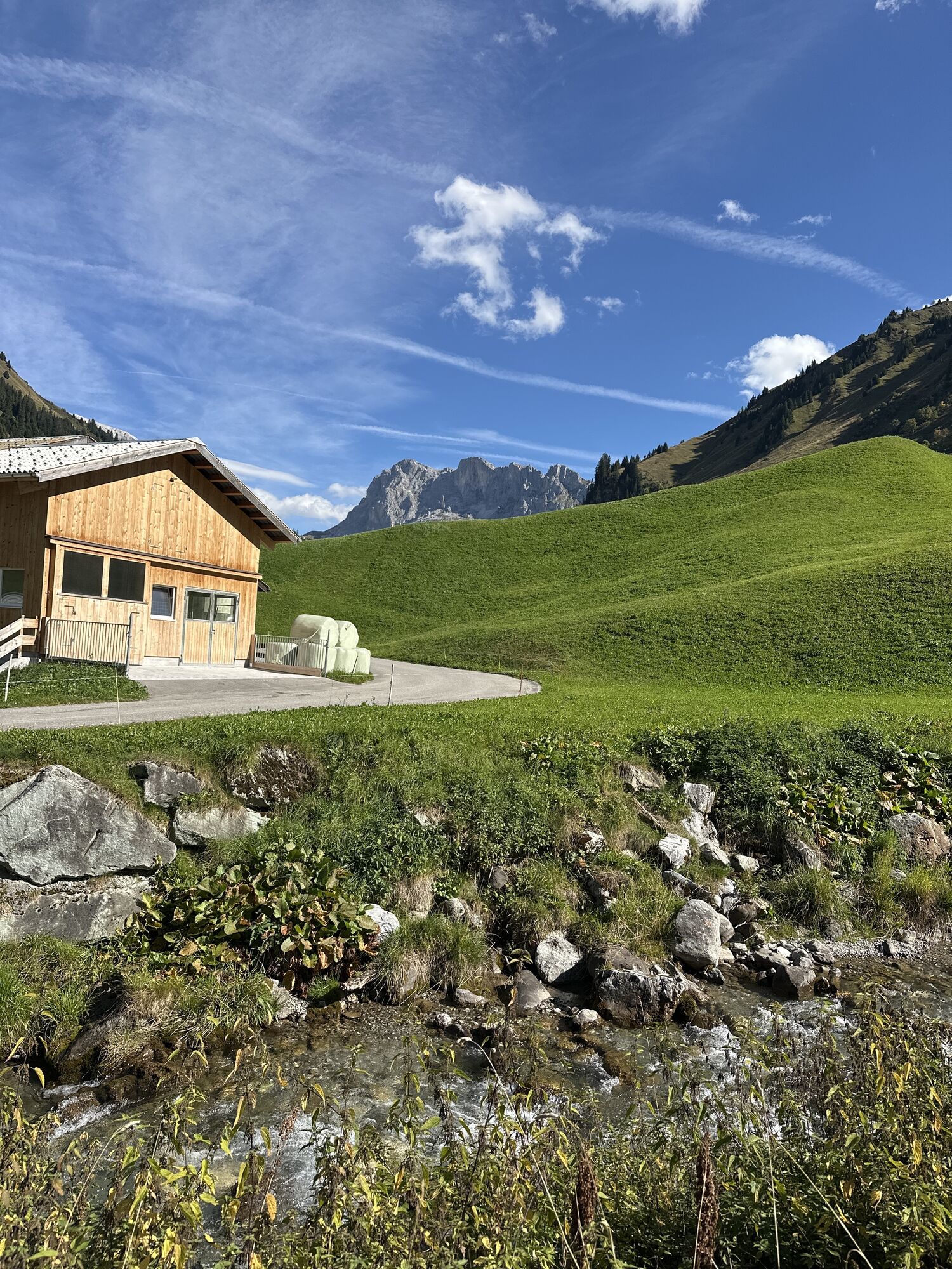
The pleasant circular hike starts from the village center to St. Antönien-Rüti where the hike branches into the hidden, romantic Gafier valley. Past the hamlet Rüti, the Engi forest, and the Walser settlement...
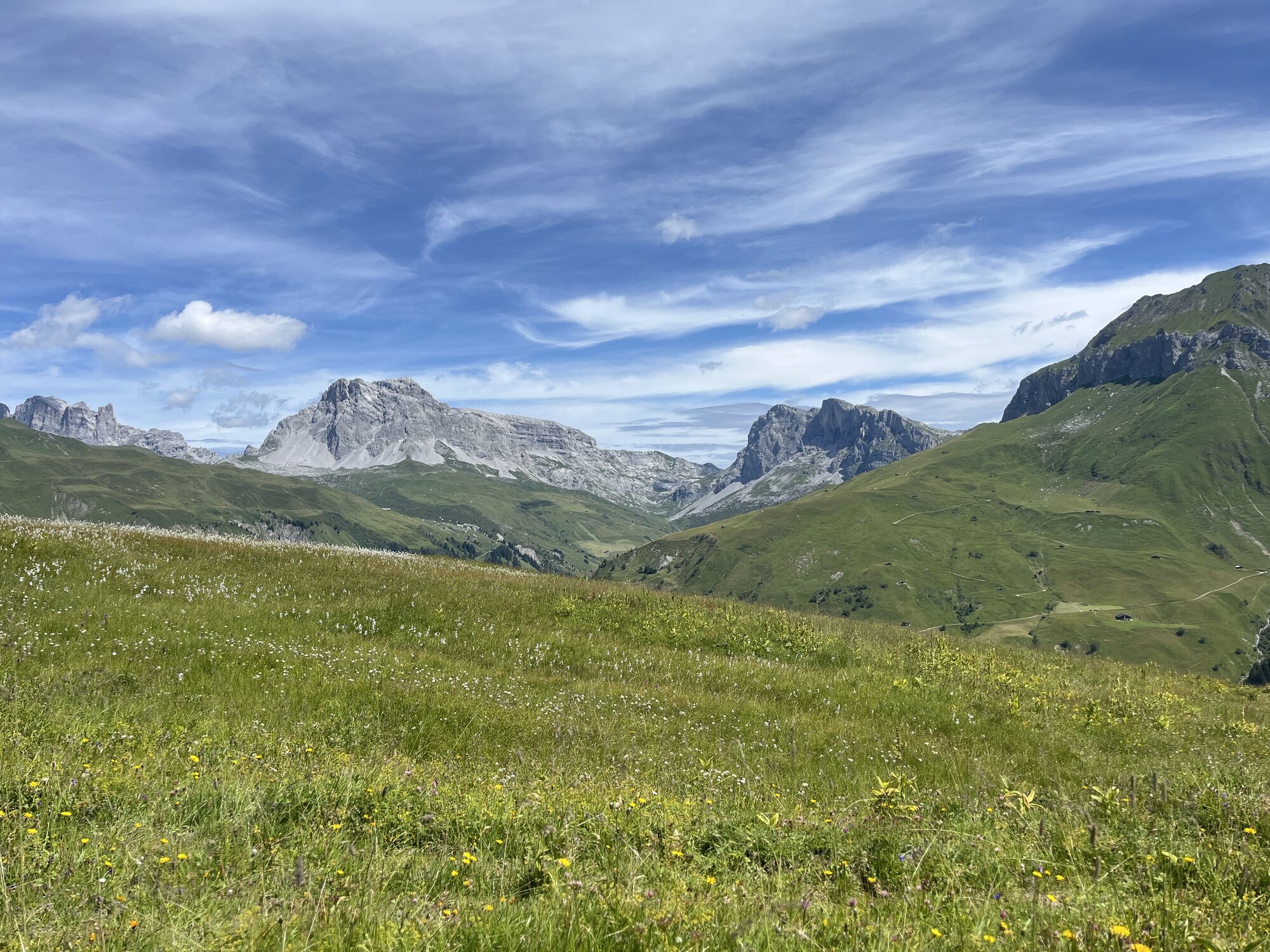
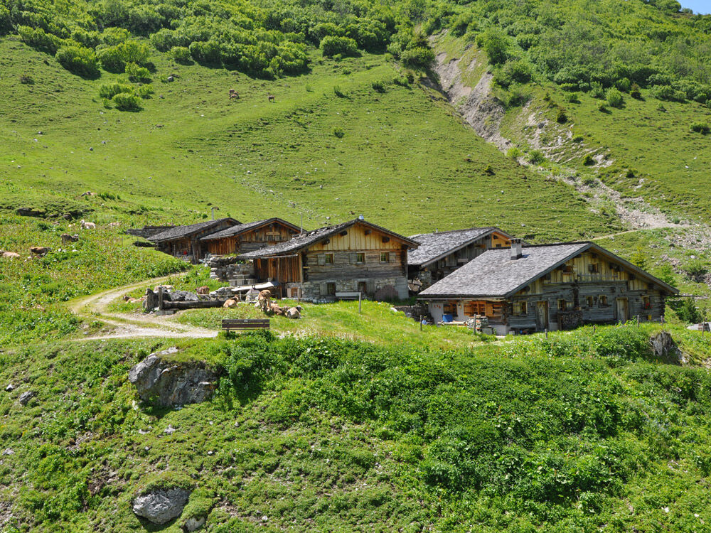
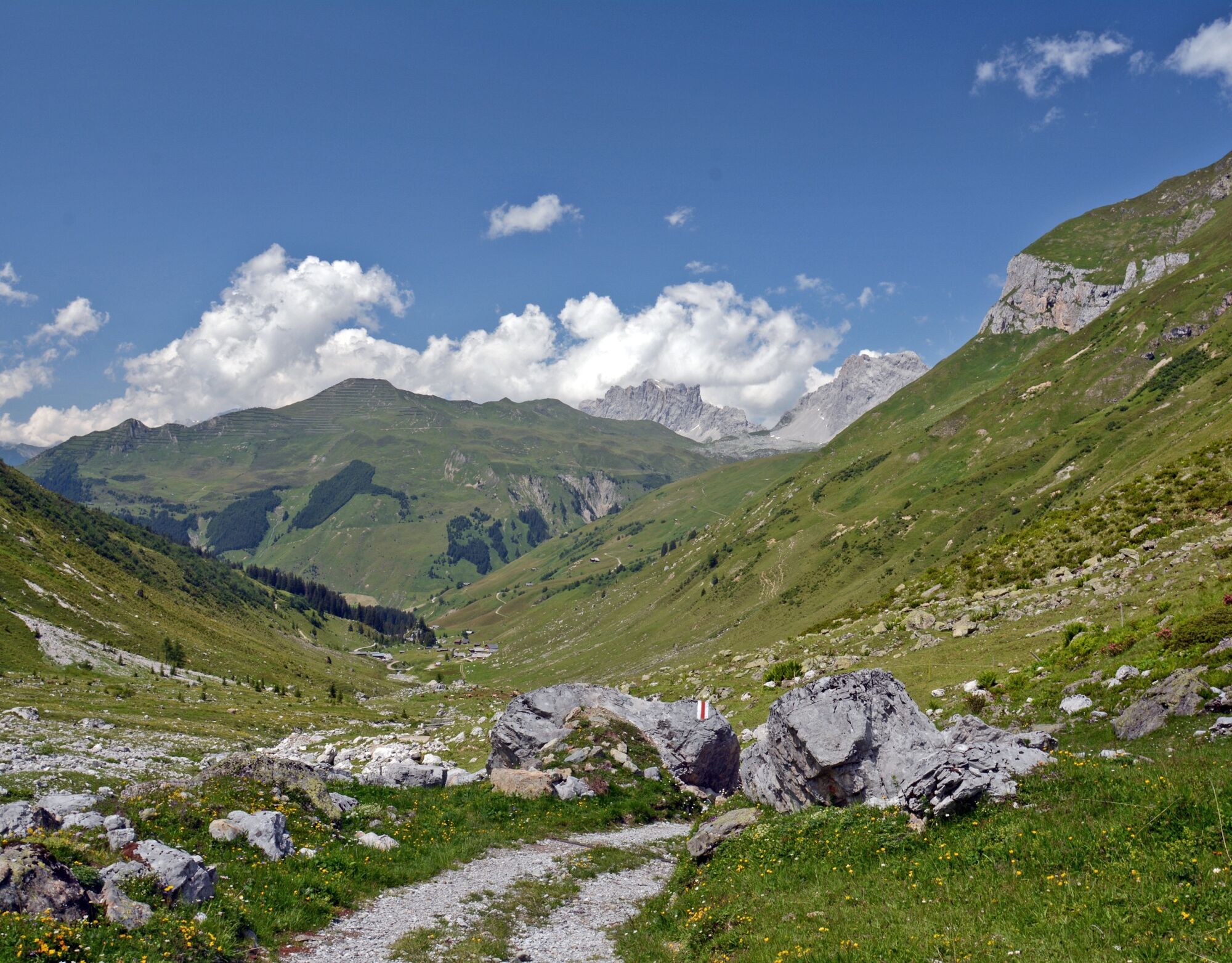
The pleasant circular hike starts from the village center to St. Antönien-Rüti where the hike branches into the hidden, romantic Gafier valley. Past the hamlet Rüti, the Engi forest, and the Walser settlement Dörfji, the route heads towards Gafien. On the way, you pass the Schlangenstein.
The Schlangenstein is a mighty rock standing alone in the middle of the valley. Its almost semicircular rock face over 30 meters high "greet" hikers in a somewhat threatening way. The Schlangenstein supposedly got its name from the legend that Saint Antonius once banished snakes from there. A sensible St. Antönien local once said it was much more likely that concerned St. Antönien mothers, to keep their children from climbing the rock, told them that it was teeming with snakes up there...
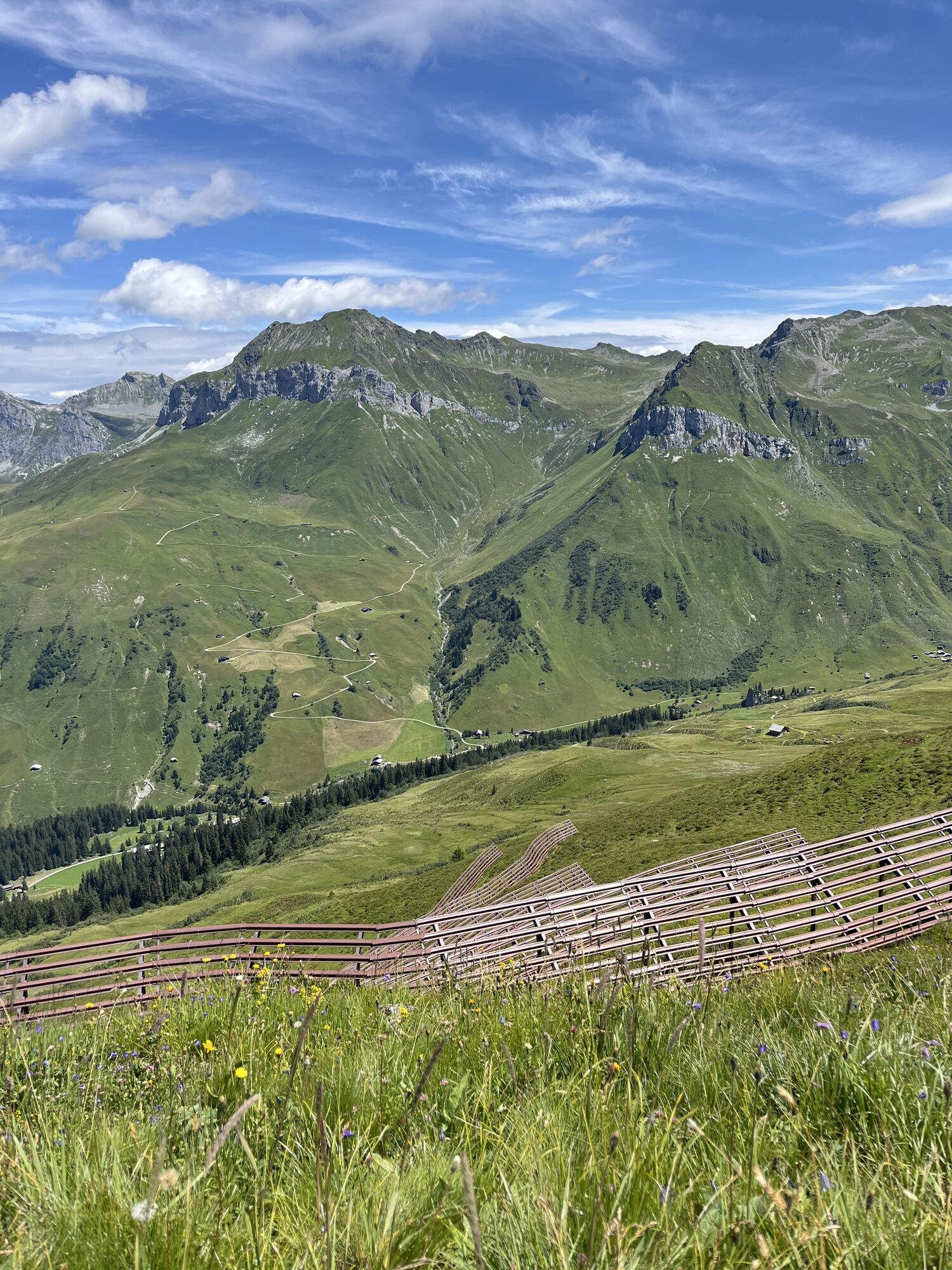
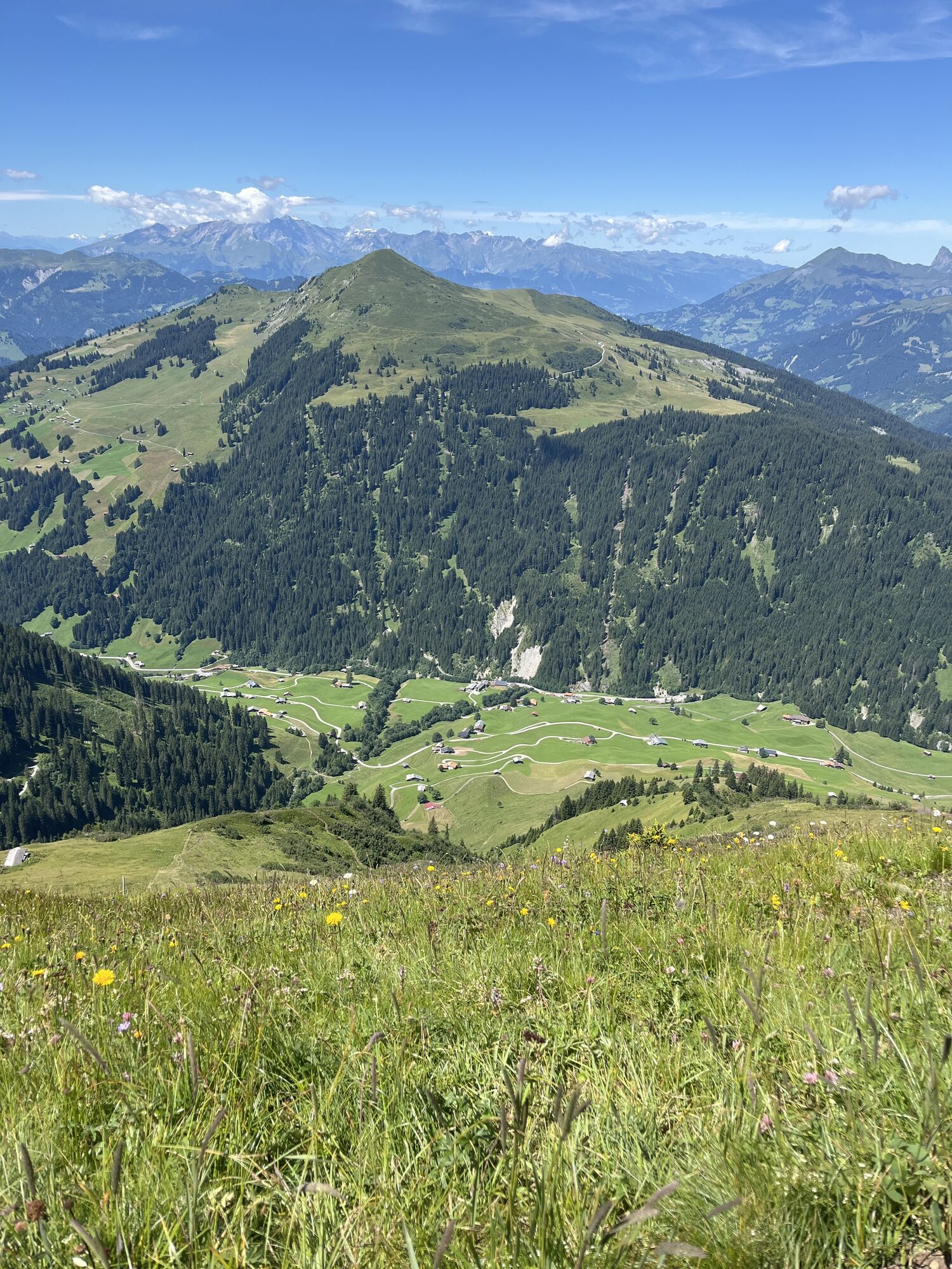
The ascent (upwards) really starts from “Litzistafel,” passing the shepherd’s hut of the Jenazer Alp. With every meter of altitude, the view becomes more impressive and on the summit you finally overlook the entire St. Antönien valley. From the easy Eggberg, various descent options are available; we recommend the route via Vordersäss and Ascharina back to St. Antönien.

St. Antönien-Platz (1420 m) - St. Antönien-Rüti (1461 m) – Dörfji (1658 m) – Gafien-Litzistafel (1747 m) – Jenazer-Alp (Säss 1941 m) – Eggberg (2202 m) - Vordersäss (1800 m) - Inner Ascharina (1426) - St. Antönien-Platz (1420 m)
Good footwear, mountain hiking clothing adapted to the season, drinks and some provisions, as well as a map in the rucksack, are recommended.
Easy and well-marked hiking trails. Do not leave the marked route in poor visibility.
Take the A13 and N28 to Küblis, shortly after the roundabout turn left towards Luzein, Pany, St. Antönien.
With the Rhaetian Railway RhB to Schiers (90.218) or Küblis (90.222) and with the post bus to St. Antönien.
In St. Antönien all parking spaces are payable. At the parking lots, payment can be made with cash, Parkingpay app, or Twint. Parking lot P2 is located in the village center slightly above the church.
Pany-St. Antönien Tourism
Panyerstrasse 39
CH-7243 Pany
Tel. +41 81 300 32 22
info@pany-stantoenien.ch
www.pany-stantoenien.ch
Prättigau Marketing
Feldweg 19
CH-7233 Jenaz
Tel. +41 (0)81 325 11 11
info@praettigau.info
www.praettigau.info
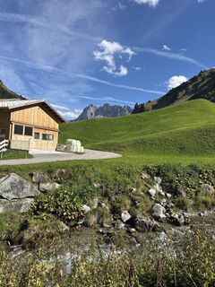
Refreshment opportunity at the Edelweiss inn in Gafien.

Obľúbené výlety v okolí
-
5,0
Ski tour to the Lindauer Hut (1,744 m)
svetloSkitour 14,0 km -
4,7
Smuggler’s path
strednáTematická trasa 8,60 km -
4,4
Golm-Rundwanderweg im Rätikon
strednáTematická trasa 7,28 km -
4,2
Golmerbahn Bergstaion Grüneck - Golmer Höhenweg - Geißspitze - Lindauer Hütte - Latschau
strednáTuristika 11,5 km -
4,4
Madrisella summit path
strednáTematická trasa 10,8 km -
5,0
Douglasshütte, Lünersee, Gafalljoch Brand bei Bludenz, Vorarlberg
svetloTuristika 9,16 km -
4,8
Douglashütte - Schesaplana
strednáTuristika 7,31 km -
3,0
Bergstation Grüneck Golmerbahn - Alpe Latschätz - Lindauer Hütte - Latschau
svetloTuristika 11,1 km -
4,0
Golmer Höhenweg
strednáTuristika 13,8 km -
5,0
Around the Kirchlispitzen (2,552 m)
ťažkéTuristika 14,8 km

Turistika a stopovanie


Nenechajte si ujsť ponuky a inšpiráciu na ďalšiu dovolenku
Vaša e-mailová adresa bol pridaný do poštového zoznamu.