







Circular hike Stelsersee
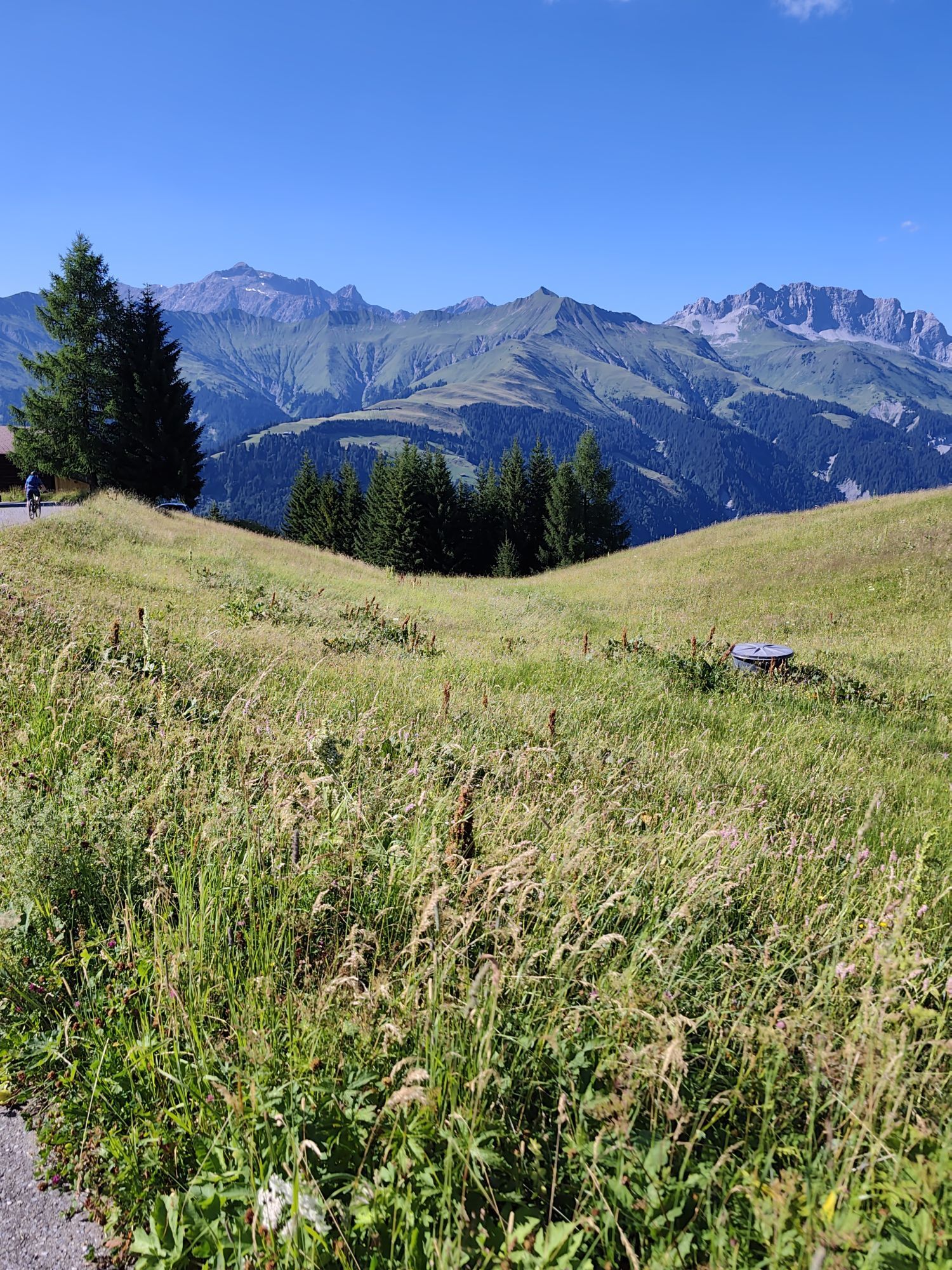
The starting point of the leisurely hike is the PostAuto mountain station Mottis in Stels. The hike leads uphill on a little-used, paved mountain road towards Stelserberg. The alternative to the paved...
The starting point of the leisurely hike is the PostAuto mountain station Mottis in Stels. The hike leads uphill on a little-used, paved mountain road towards Stelserberg. The alternative to the paved road is a hiking trail, which after a few hundred meters leaves the road and leads via Mataun and Cug to the Berghaus zum See (a bit more elevation difference and walking time, but more scenic).
If the view at the Berghaus zum See takes your breath away, it is not due to the previous ascent, but rather the incomparable panorama of the Rätikon range! The Switzerland Gate, which allows high-altitude hikers to cross into the Austrian Montafon, can be admired here like nowhere else. Whether you want to stop here is up to you; usually, the temptation of the lovely terrace and the taste of the fresh cakes is too great...
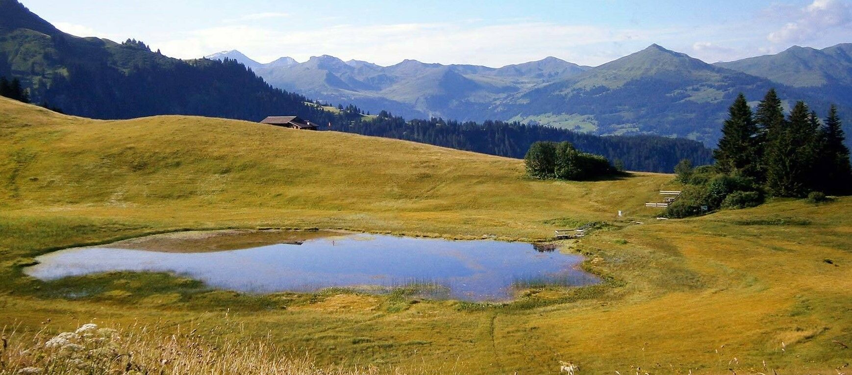
continue 200 m further along the road to Stelsersee, then turn left onto a gravel road. From here, you reach the lake in 15 minutes.
The Stelsersee, under nature protection, is known for its diversity of insects. Rare dragonflies with ringing names like the Small Emerald Damselfly or the Spear Azure Damselfly occur here. And some altitude records can be recorded among the plants: besides the white water lily, the lake rush grows nowhere as high in Graubünden as at Stelsersee.
Pro Natura commitment: Since 1947, Pro Natura has been striving for the preservation and protection of the unique mountain lake, and since 1972, the organization has been the owner of Stelsersee. Today, the protected area covers about 7.2 hectares.
Please observe the behavior rules: do not leave marked paths and trails. Keep dogs on a leash. No camping or swimming. No catching, disturbing, chasing, or releasing animals. Do not pick, uproot, or transplant plants.
To complete the circular route, take the road below the lake towards Pardiela and from Fulried return to the starting point Stels, Mottis.

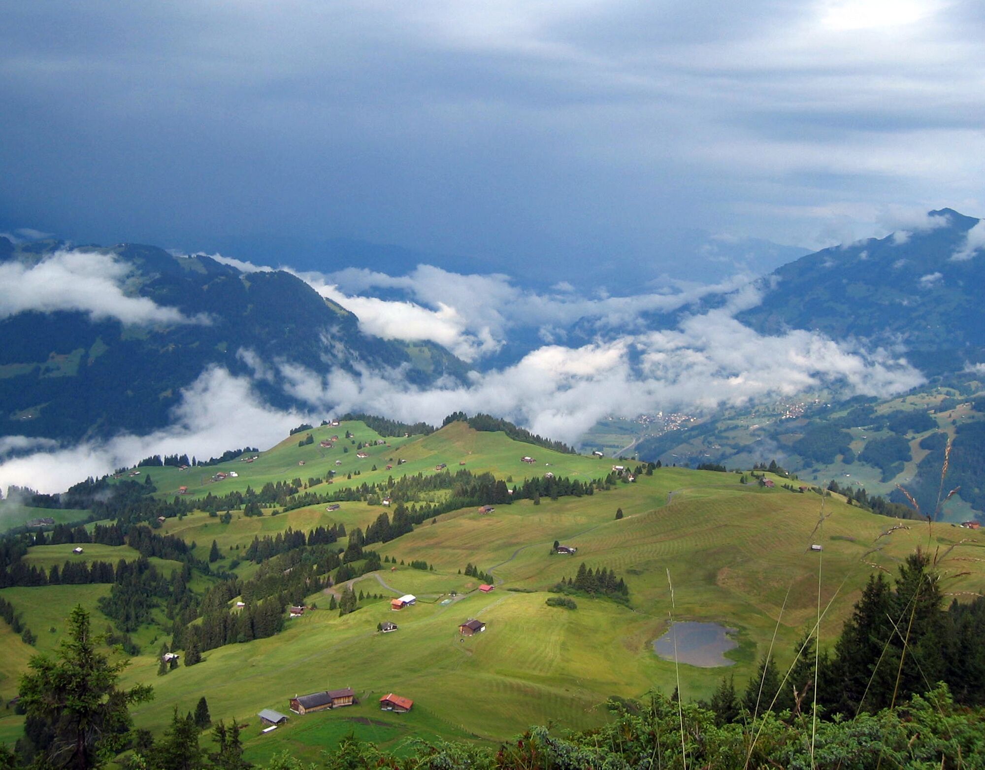

Mottis - Mataun - Cug - Berghaus zum See - Stelsersee - Fulried - Mottis.
Áno
Áno
Trekking or hiking shoes are ideal; for this route, sneakers are also fine if the weather is dry. Possibly a backpack with drinks and a small snack.
Coming from Zurich on the A3 and from Sargans on the A13 towards Chur. Take exit 13 Landquart towards Davos. After the tunnel, follow national road A28 to Schiers. Take the first exit and follow the signs towards Stels. Coming from St. Gallen, drive on the A13 towards Chur. Take exit 13 Landquart towards Davos. Coming from the south, drive on the A13 towards Zurich. Take exit 13 Landquart towards Davos. Coming from the Engadin, drive on national road A28 towards Landquart. Take the first exit in Schiers and follow the signs towards Stels in the village.
You can conveniently and easily reach the Prättigau holiday region by public transport. Traveling by train to Landquart is no problem thanks to national and international express connections. In Landquart, you can transfer directly from the SBB (Swiss Federal Railways) to the modern train composition of the RhB (Rhaetian Railway), which takes you to Schiers. After transferring to the PostAuto Graubünden buses, you will reach Stelserberg (stop Mottis) within 25 minutes.
There are only very limited parking spaces available on the Stelserberg.
Prättigau Marketing
Feldweg 19
CH-7233 Jenaz
Tel. +41 (0)81 325 11 11
info@praettigau.info
www.praettigau.info
Accessibility in the month of May depends on the state of snowmelt.
Získajte prehľad
Vždy naživo na mieste s viac ako 9 500 webovými kamerami. bergfex Ako používateľ Pro si teraz môžete pozrieť príslušné webové kamery pre mnohé zájazdy v aplikácii zájazdy z. Môžete si tak priamo prezerať aktuálne podmienky.
Obľúbené výlety v okolí
-
5,0
Ski tour to the Lindauer Hut (1,744 m)
svetloSkitour 14,0 km -
4,7
Smuggler’s path
strednáTematická trasa 8,60 km -
4,8
Douglashütte - Schesaplana
strednáTuristika 7,31 km -
4,4
Golm-Rundwanderweg im Rätikon
strednáTematická trasa 7,28 km -
4,9
Douglasshütte, Lünersee, Gafalljoch Brand bei Bludenz, Vorarlberg
svetloTuristika 9,16 km -
4,3
Golmerbahn Bergstaion Grüneck - Golmer Höhenweg - Geißspitze - Lindauer Hütte - Latschau
strednáTuristika 11,5 km -
4,9
Schesaplana
strednáVysoké turné 5,26 km -
3,0
Bergstation Grüneck Golmerbahn - Alpe Latschätz - Lindauer Hütte - Latschau
svetloTuristika 11,1 km -
4,7
Gargellner Window Path
strednáTematická trasa 7,21 km -
3,3
Wanderbares Zalimtal
strednáTuristika 12,2 km
Turistika a stopovanie


Nenechajte si ujsť ponuky a inšpiráciu na ďalšiu dovolenku
Vaša e-mailová adresa bol pridaný do poštového zoznamu.





