



Greina-Rhine Gorge - two superlatives in 4 days

Úroveň náročnosti: T3
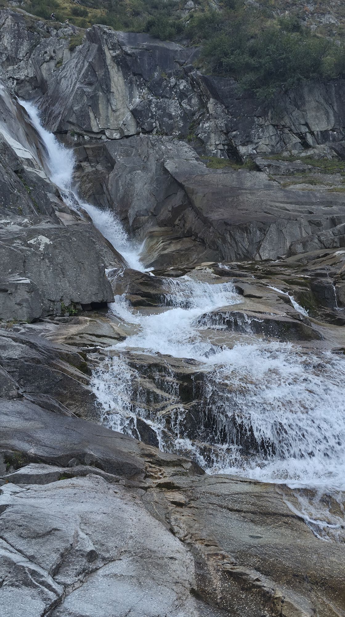
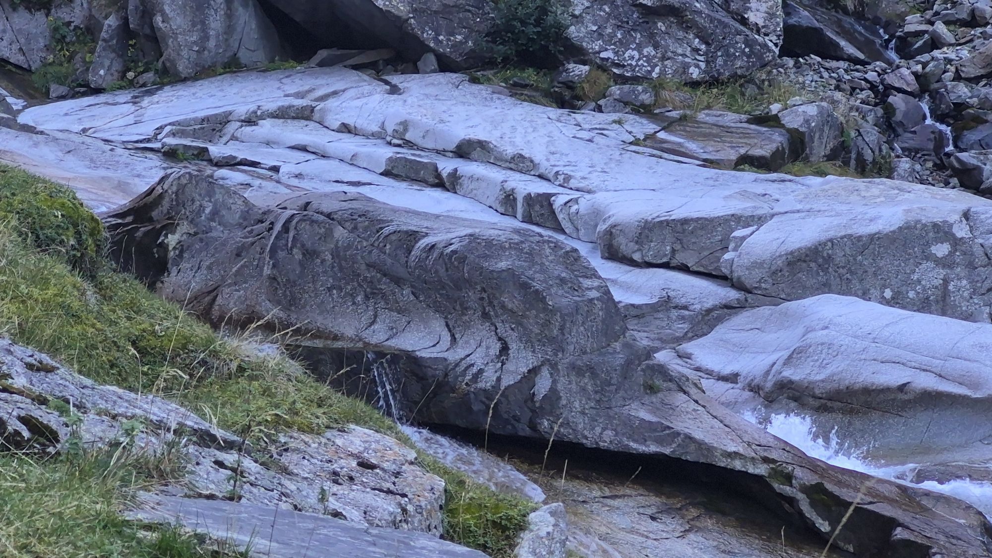
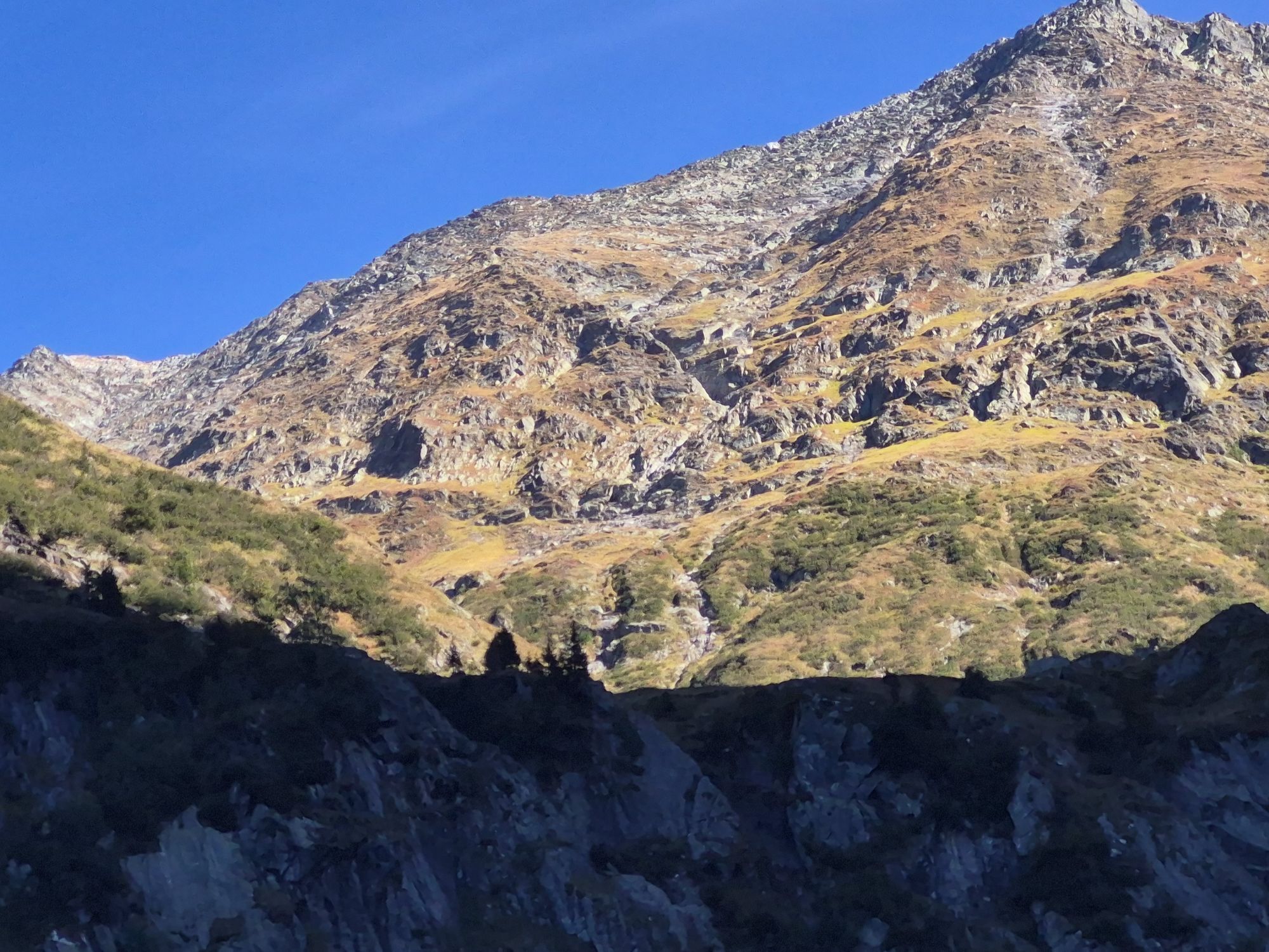
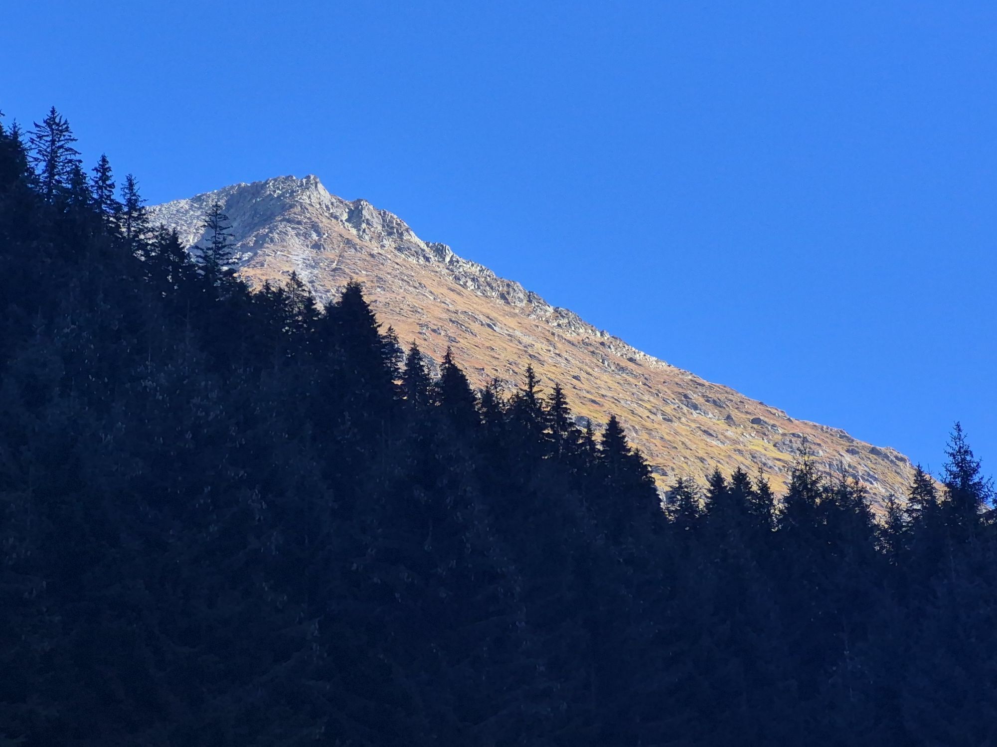
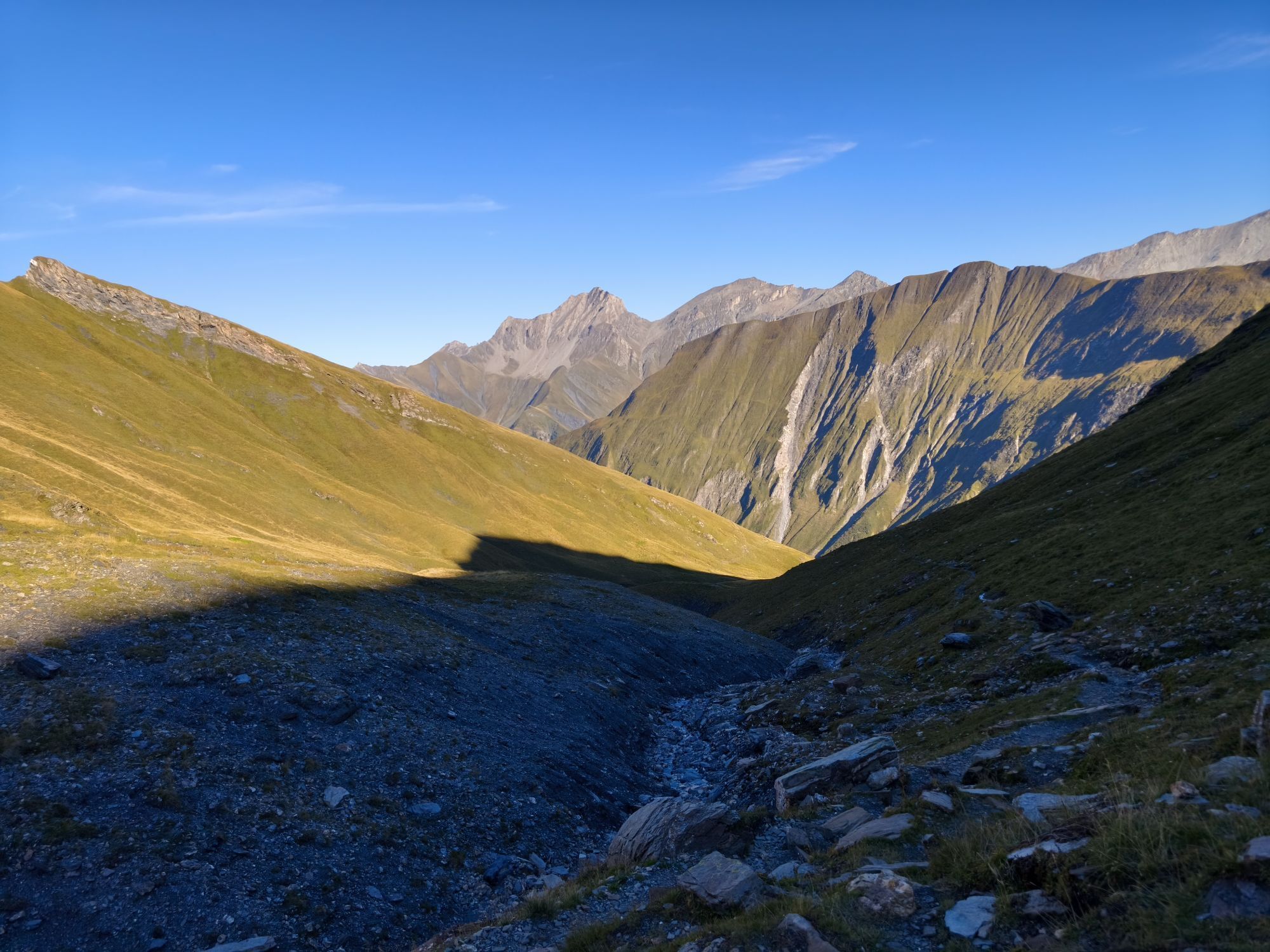
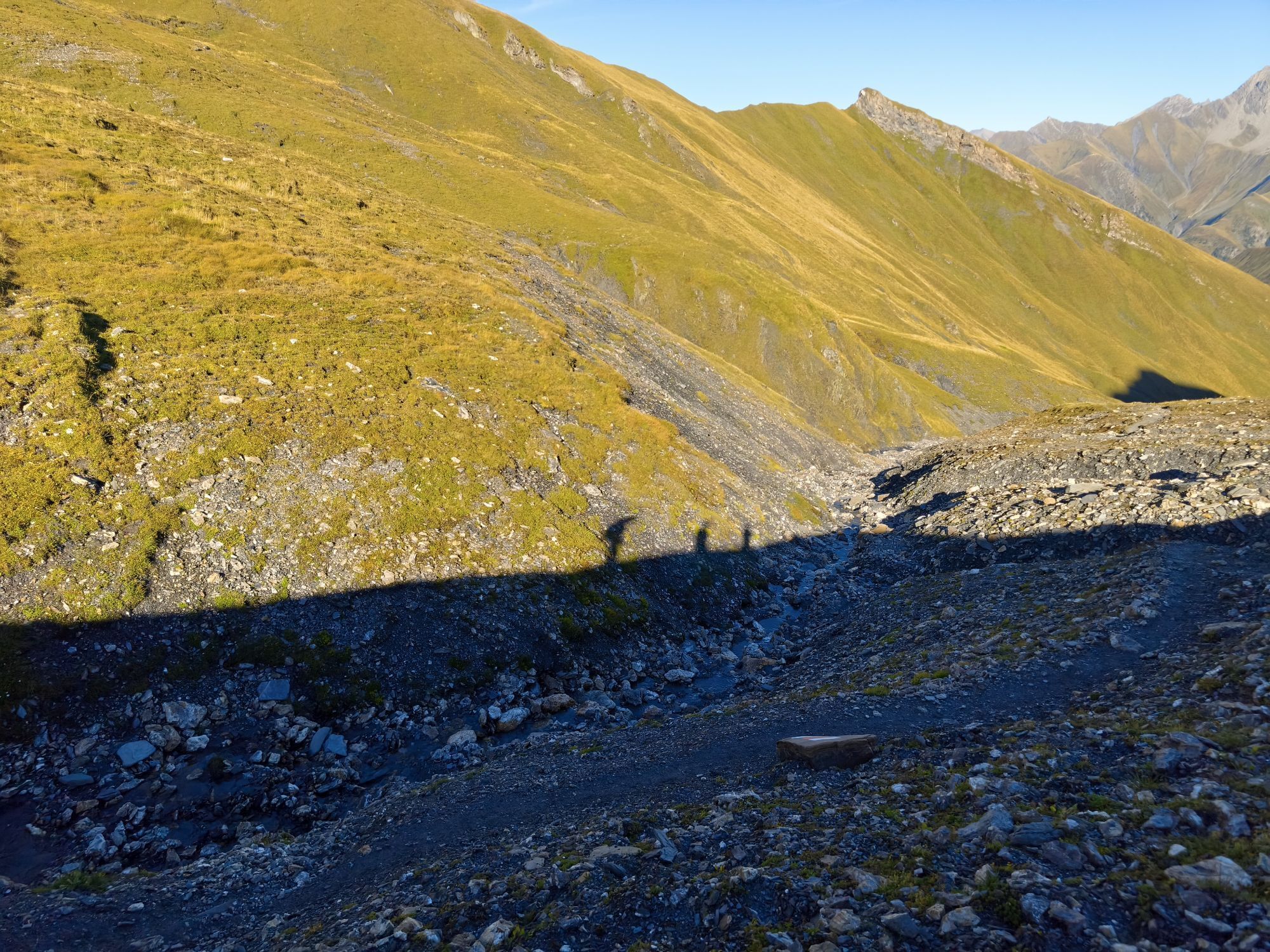
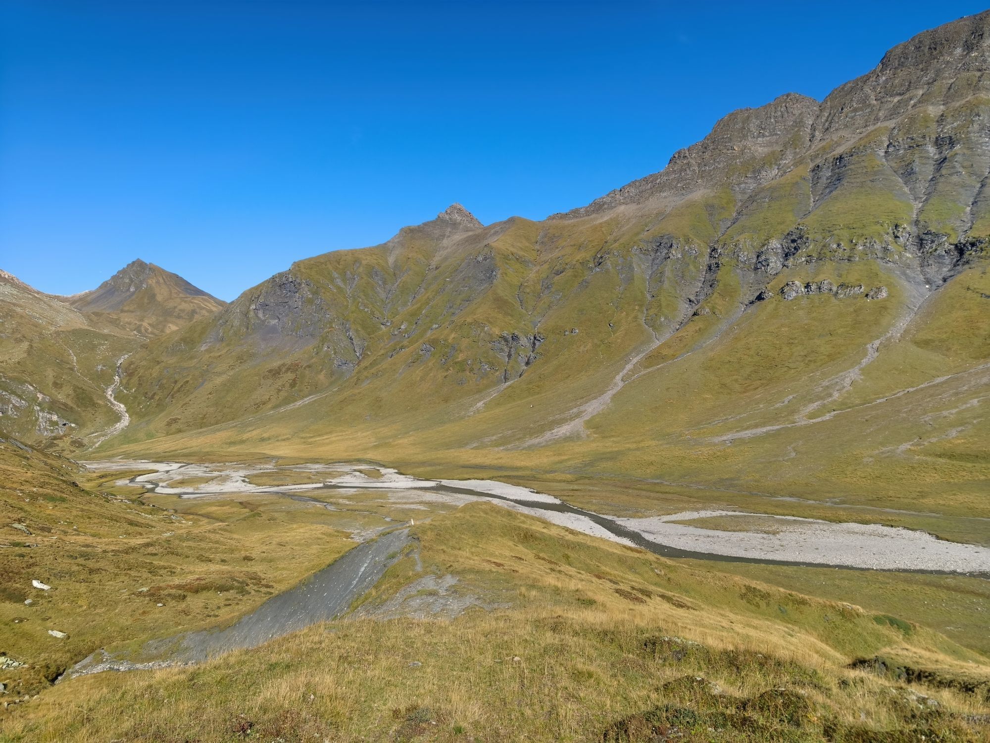
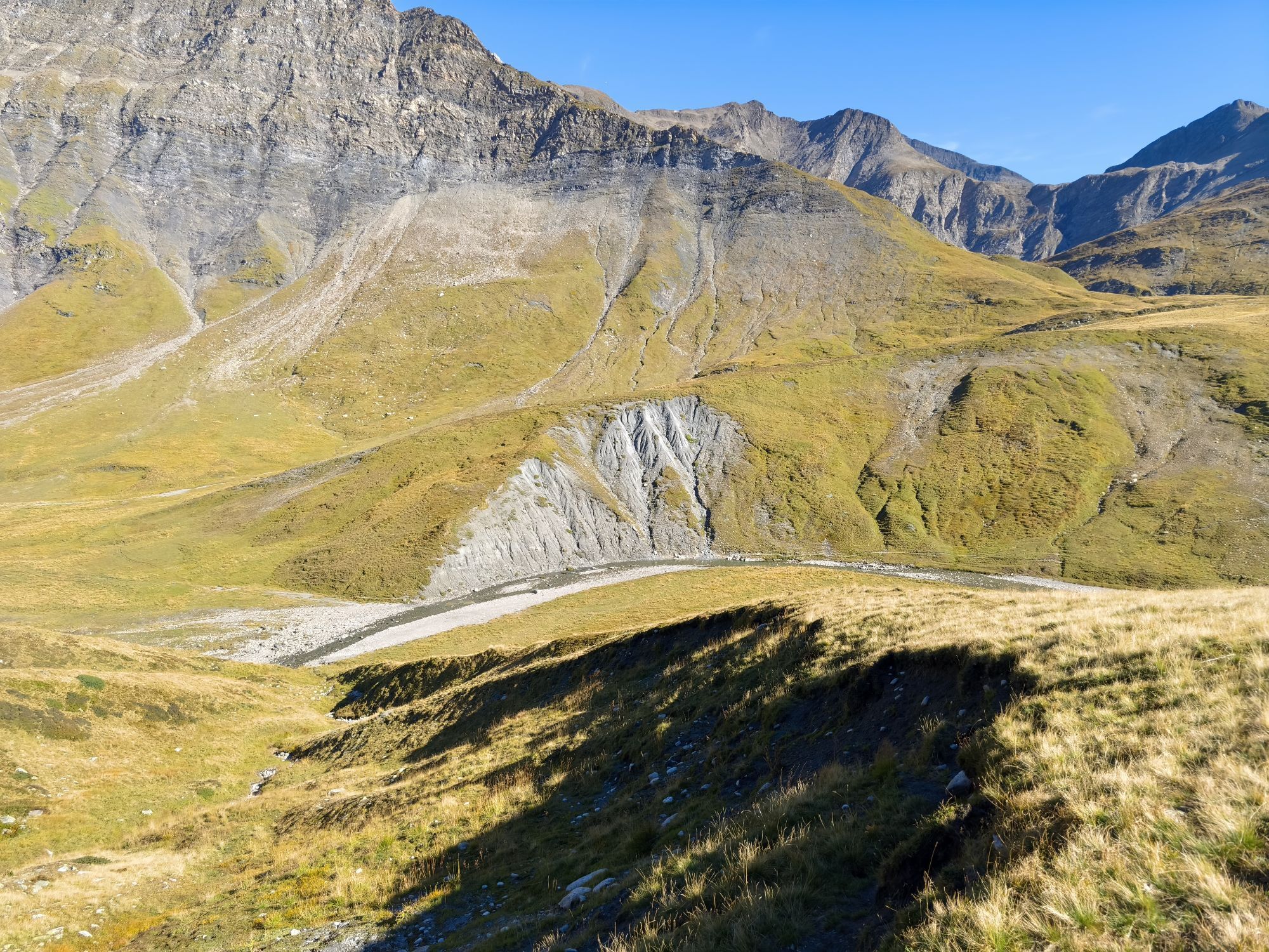
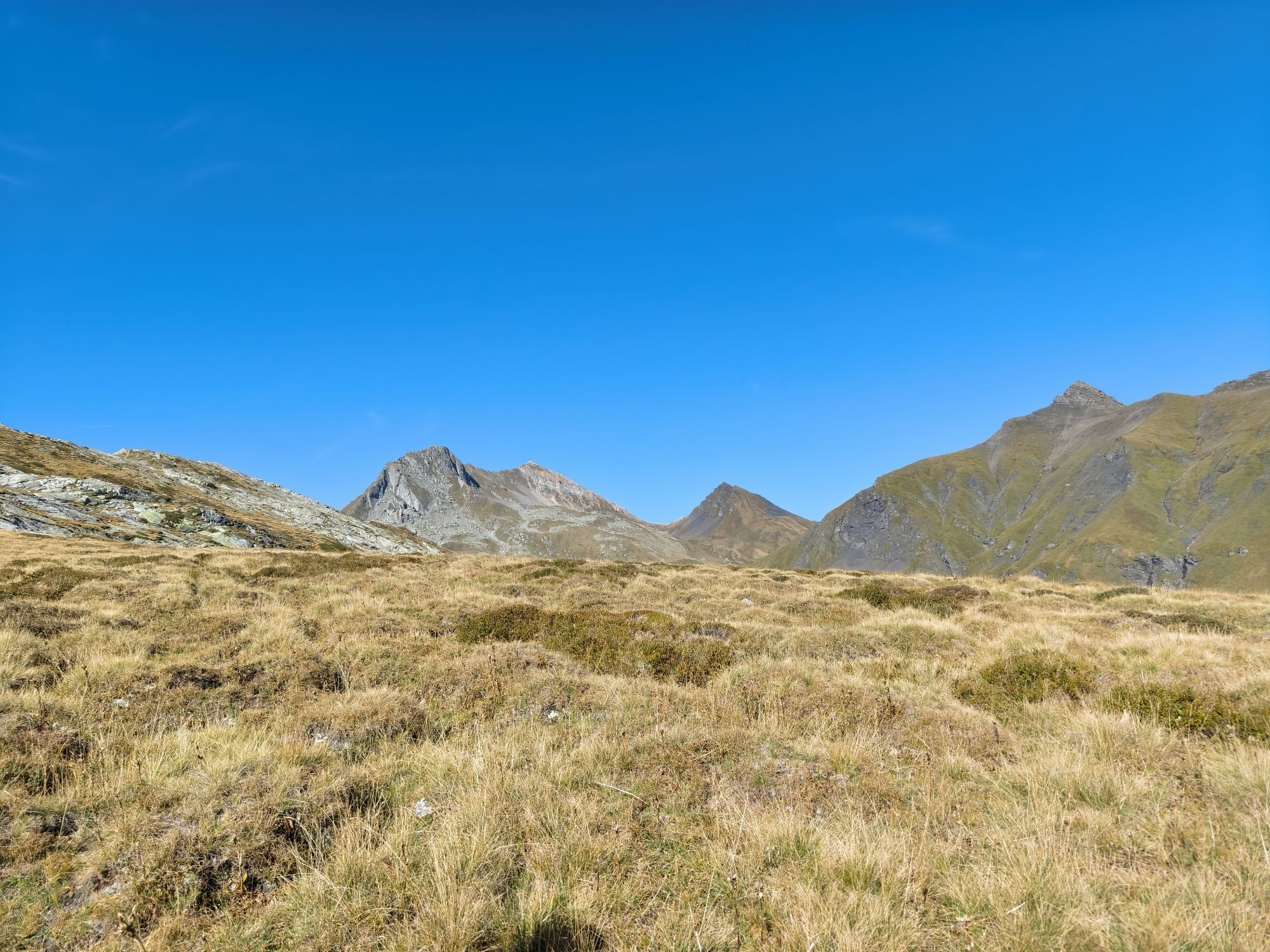
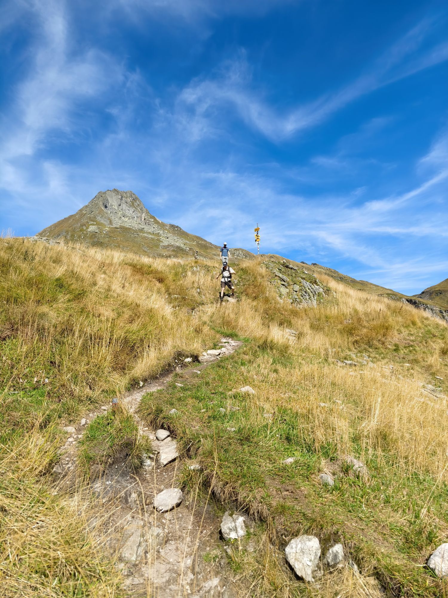
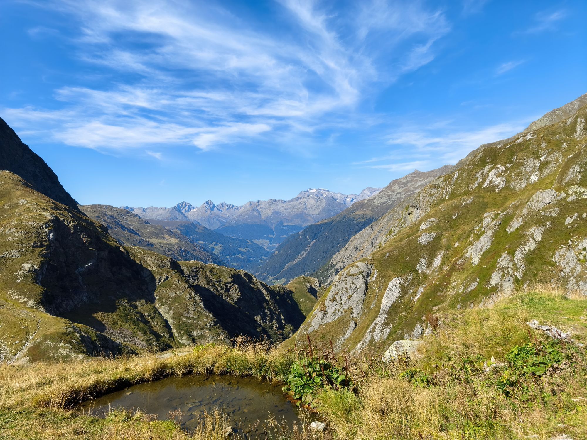
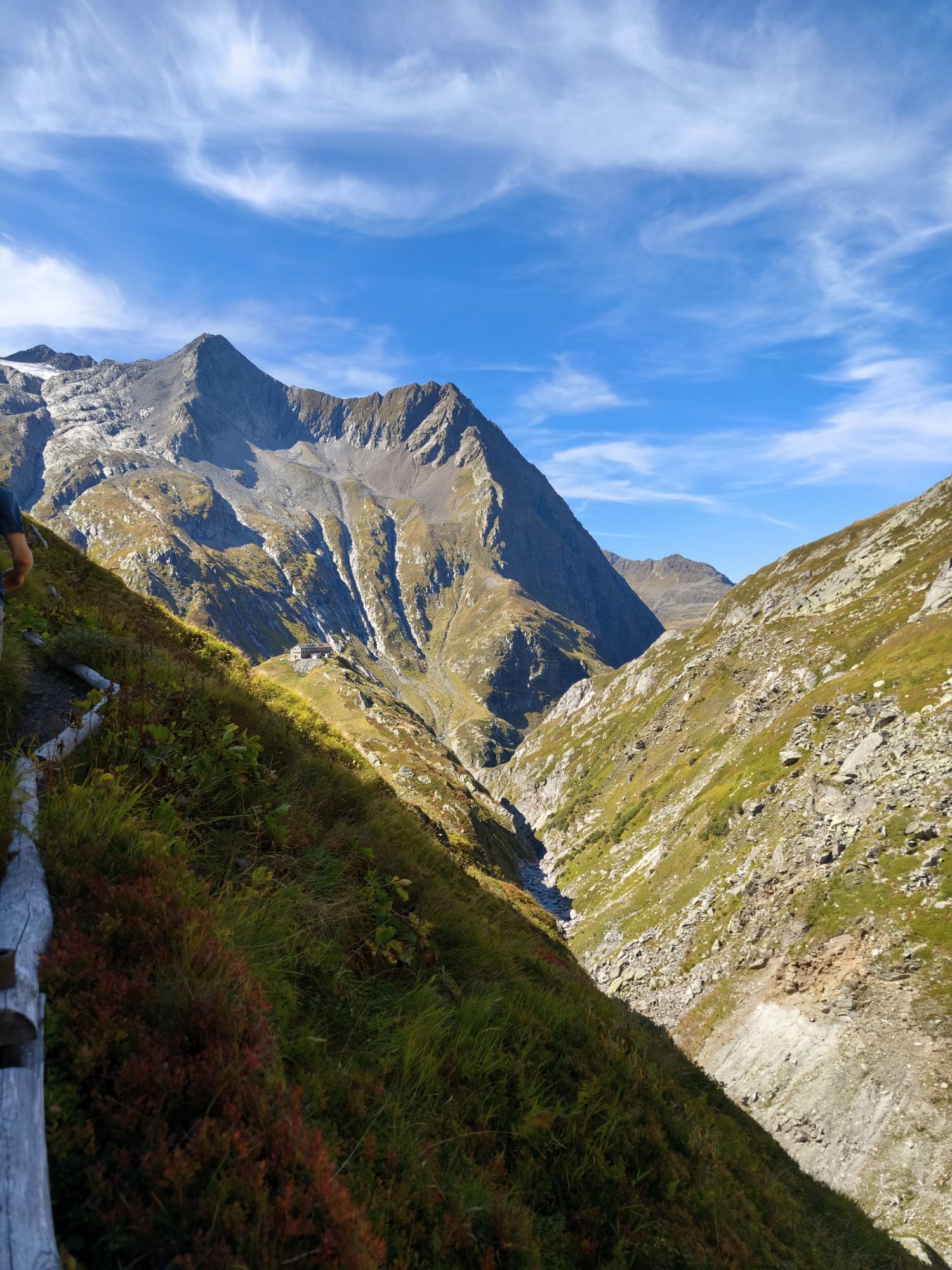
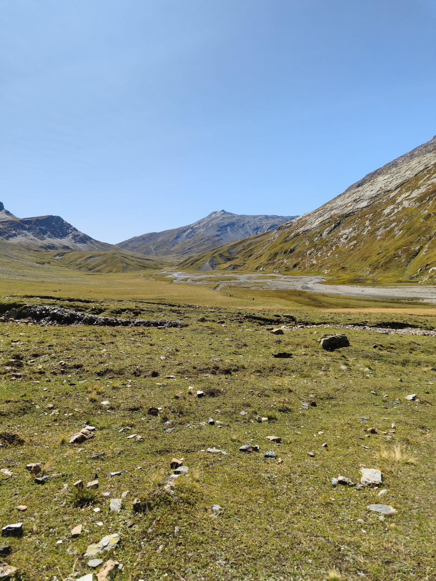
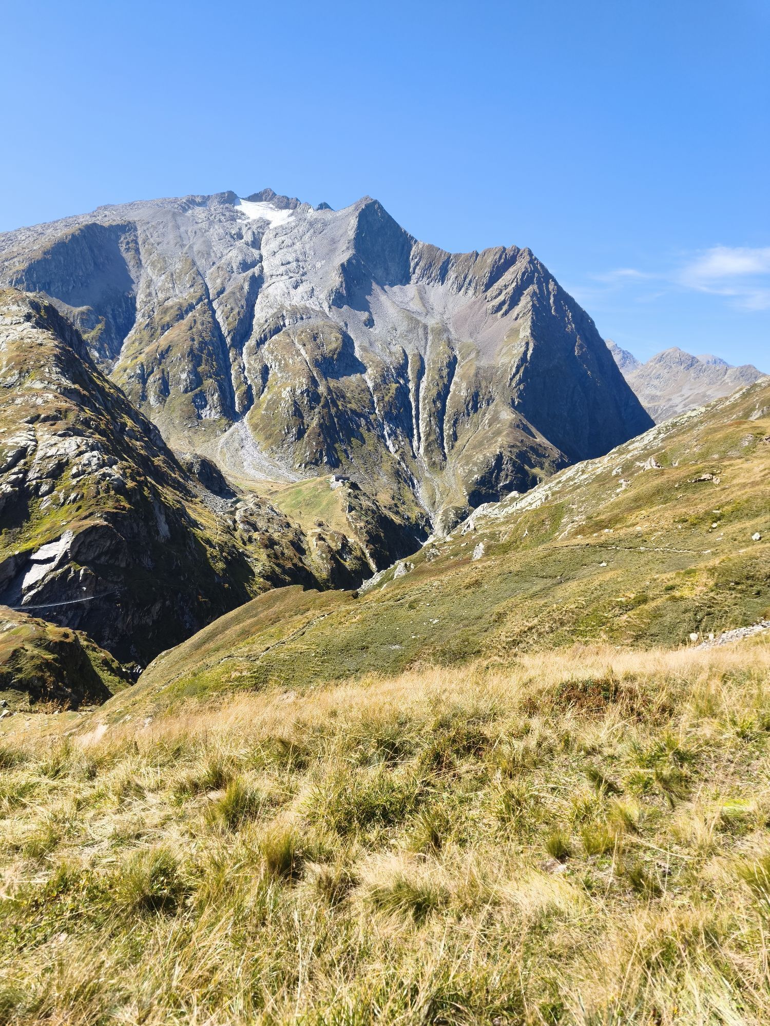
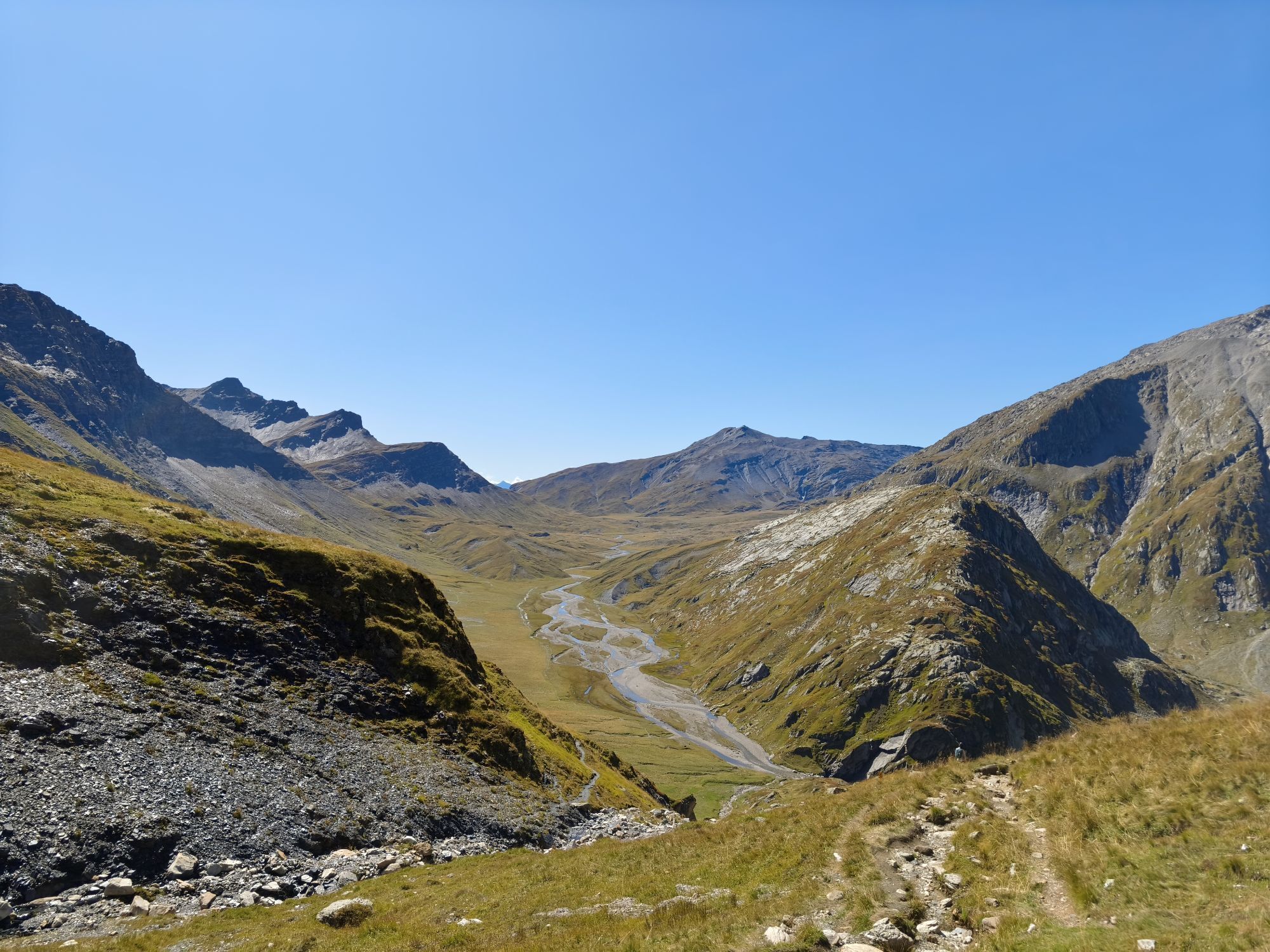
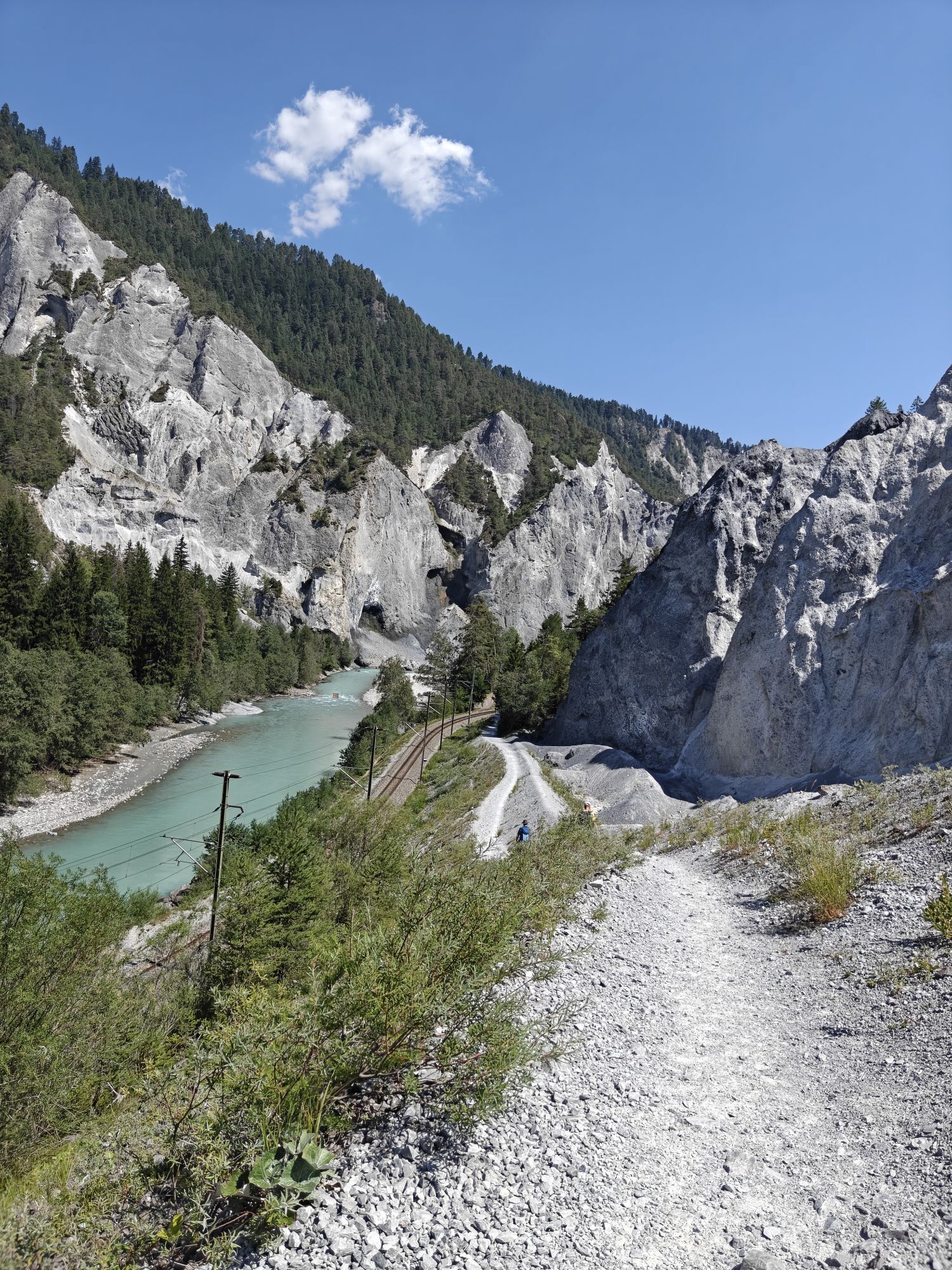
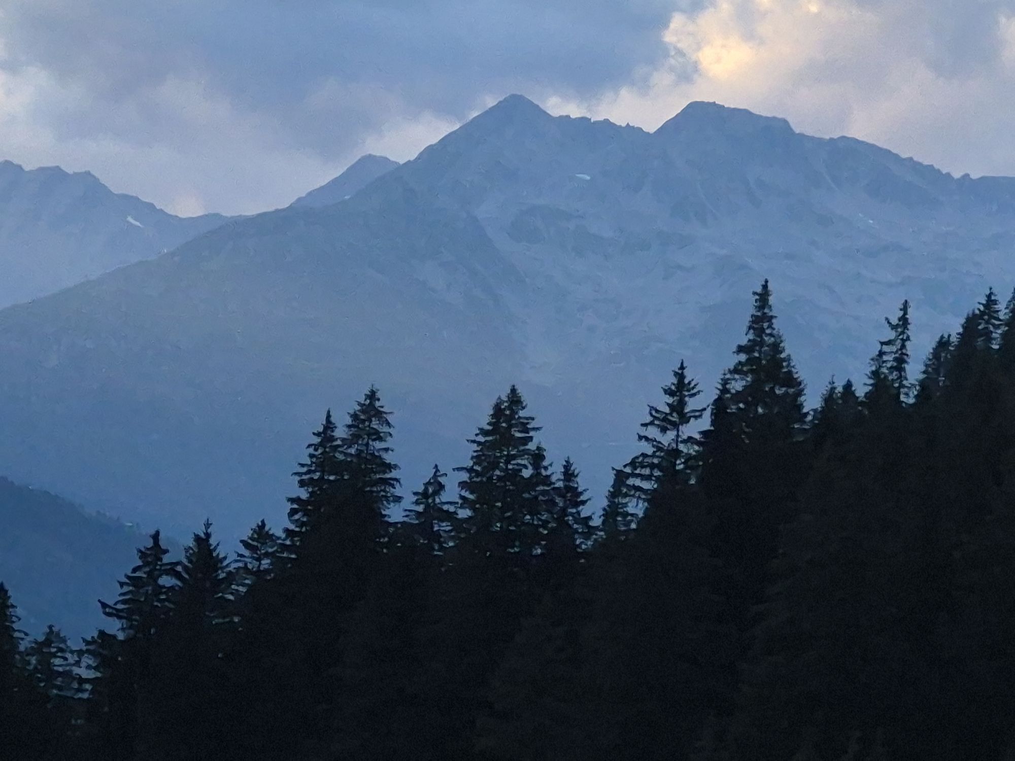
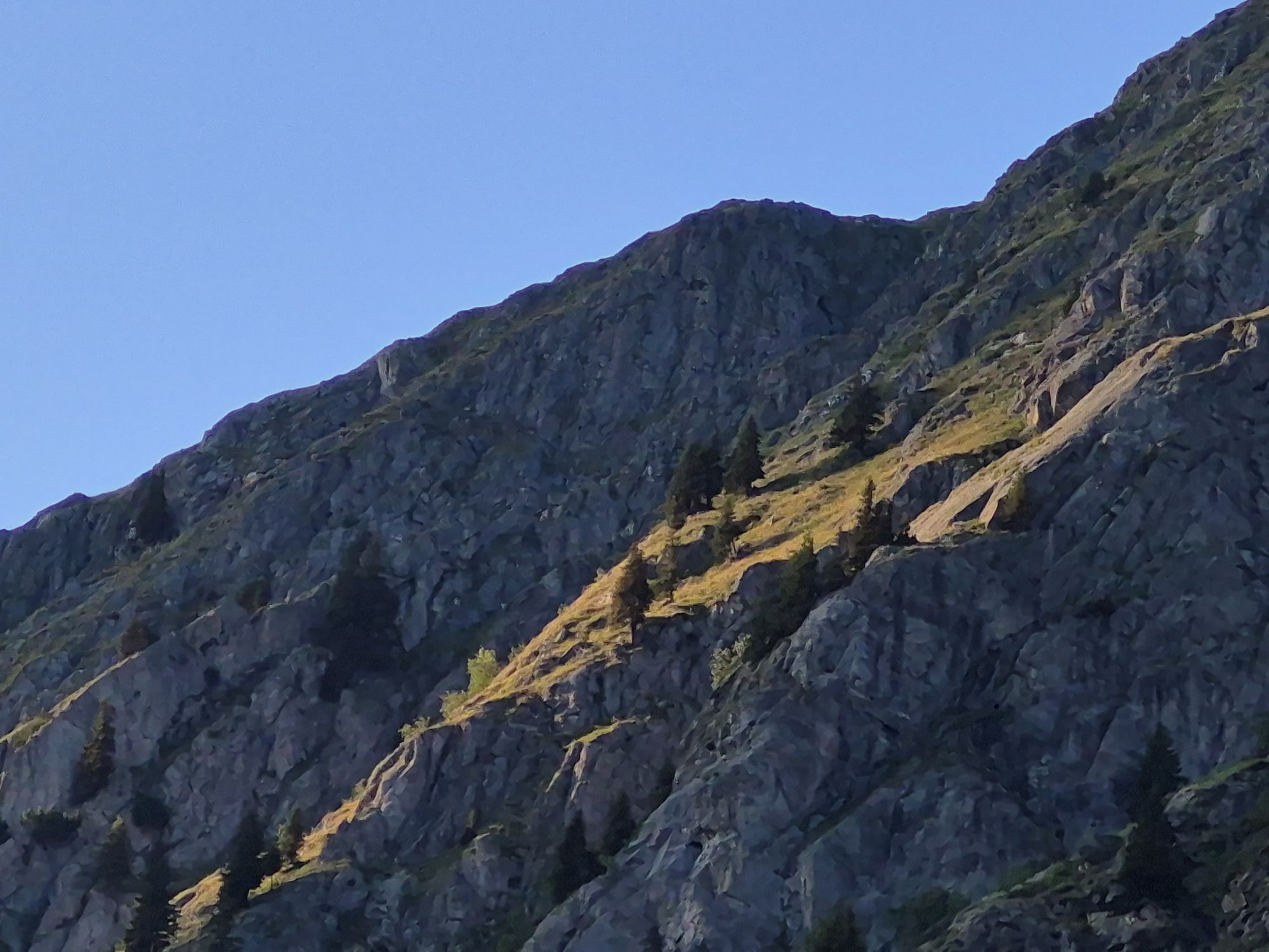
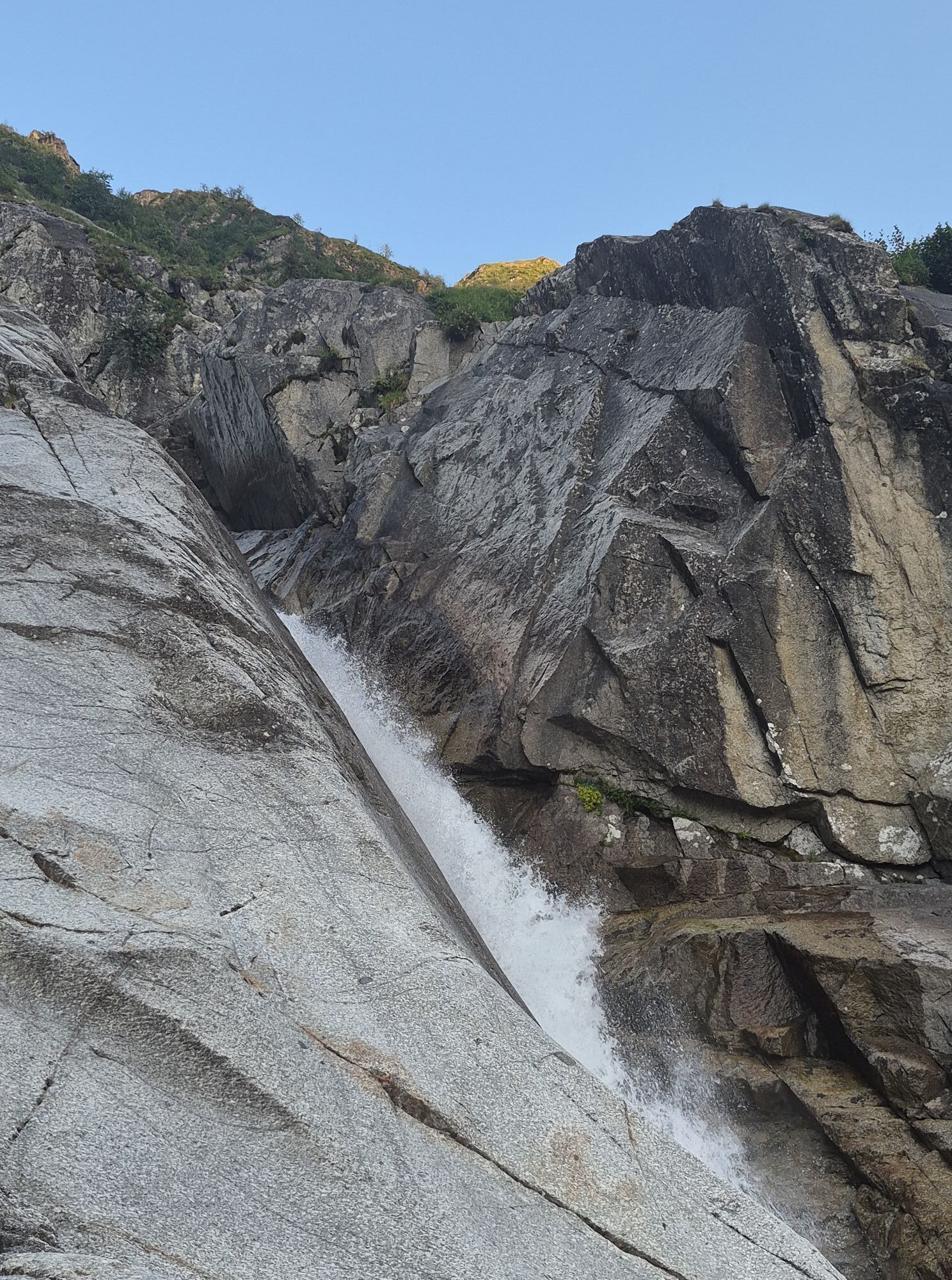
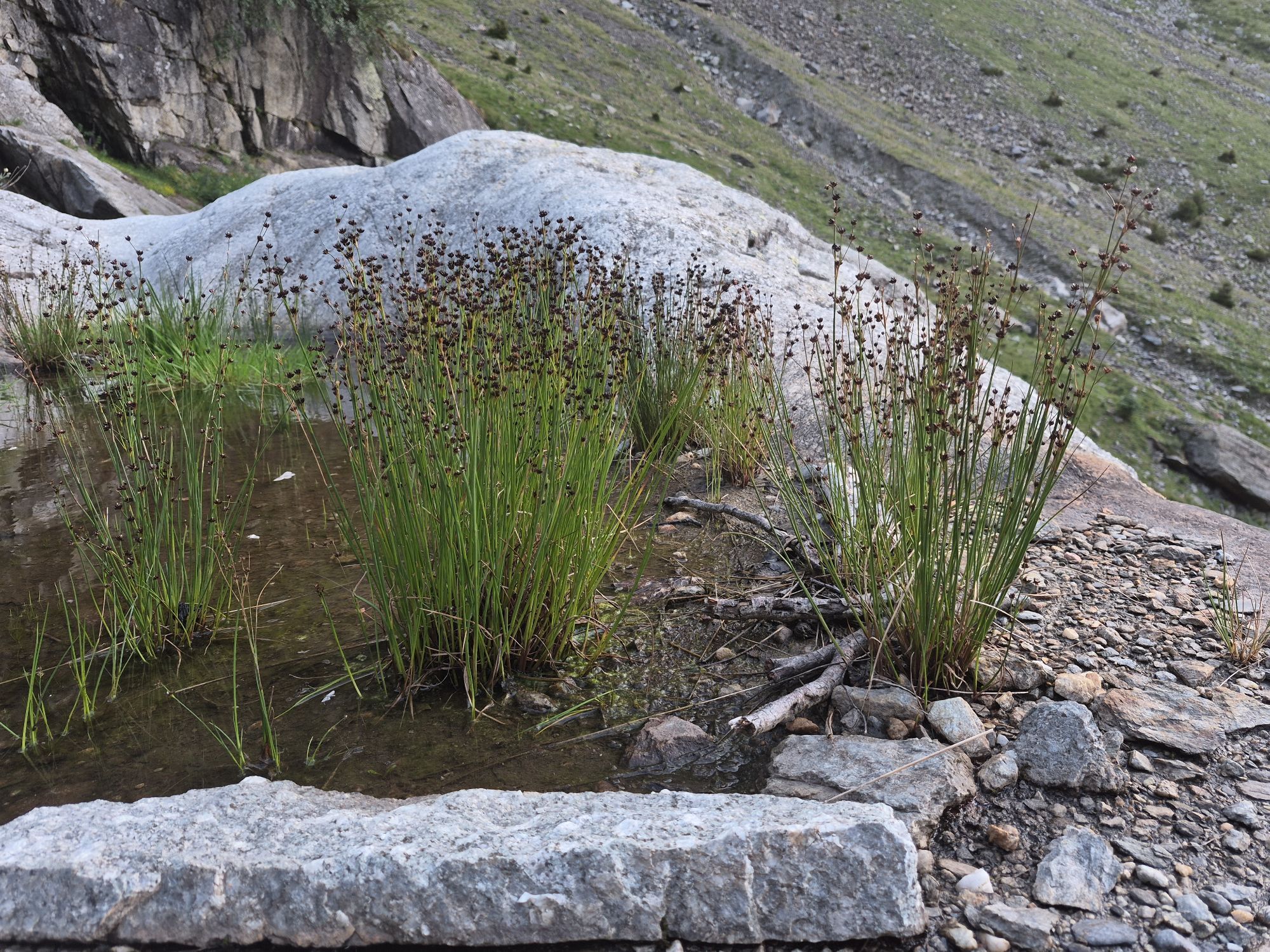
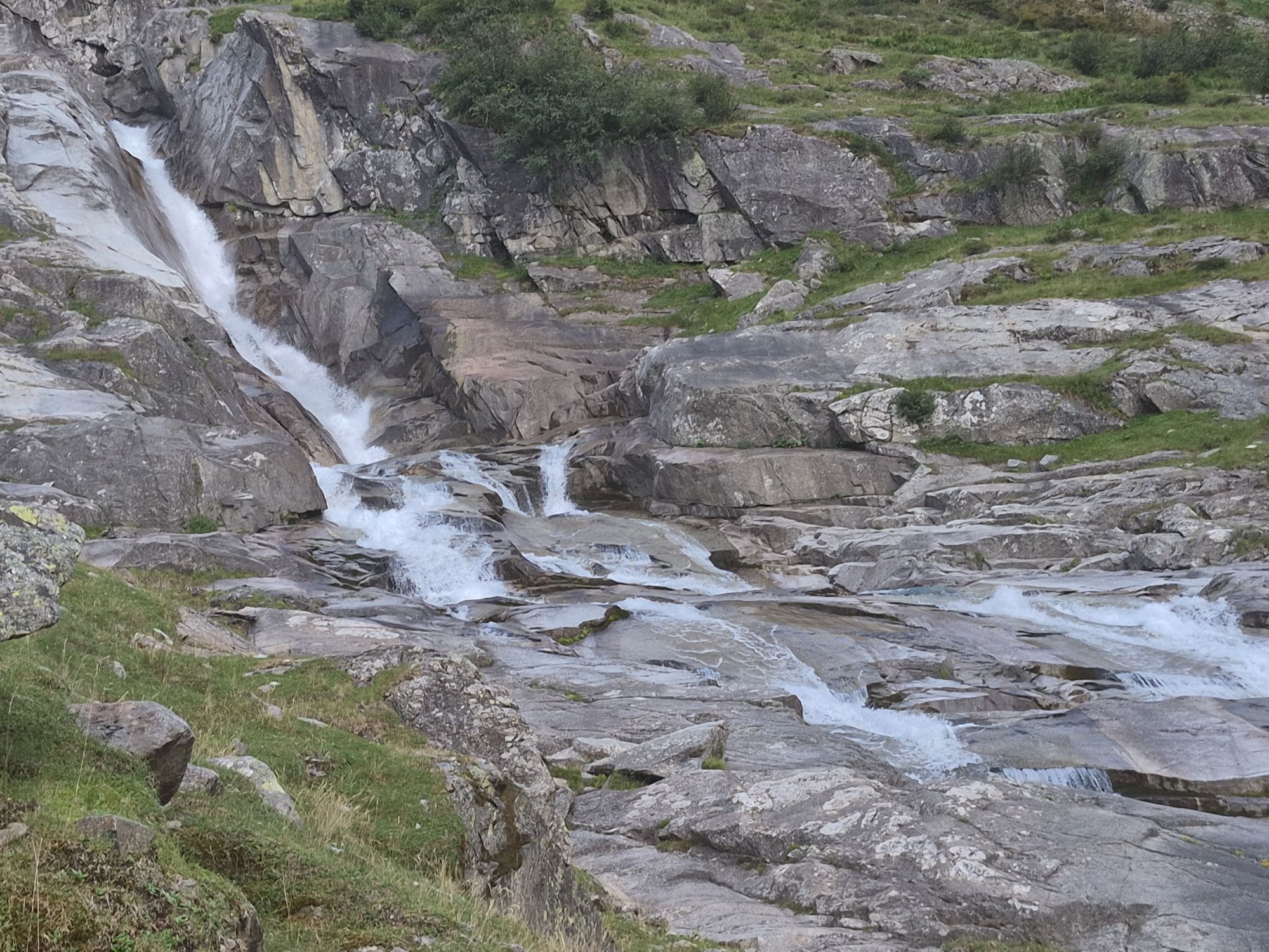
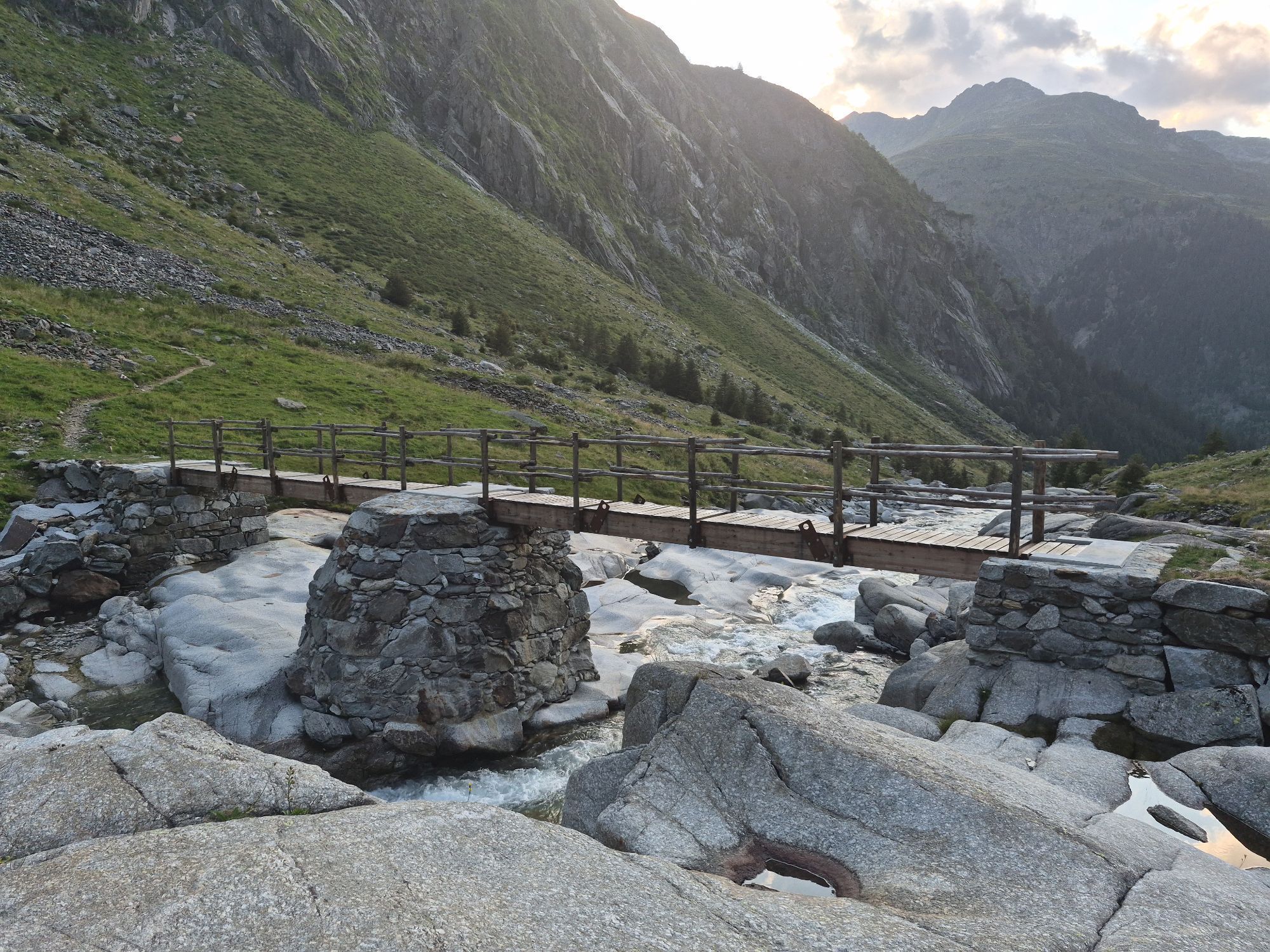
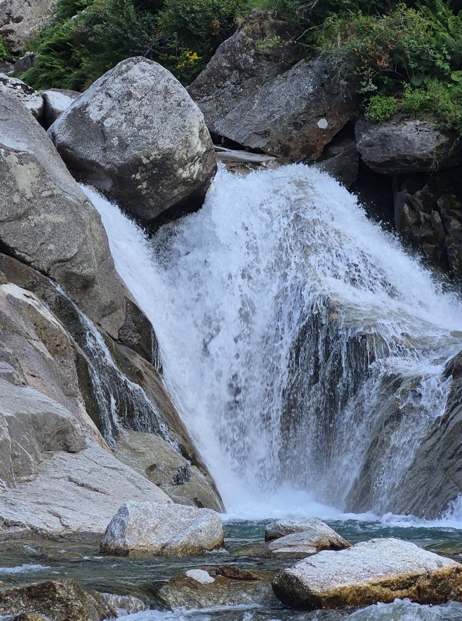
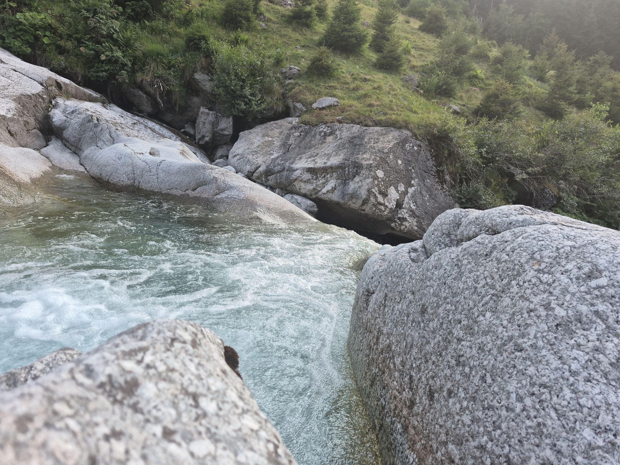
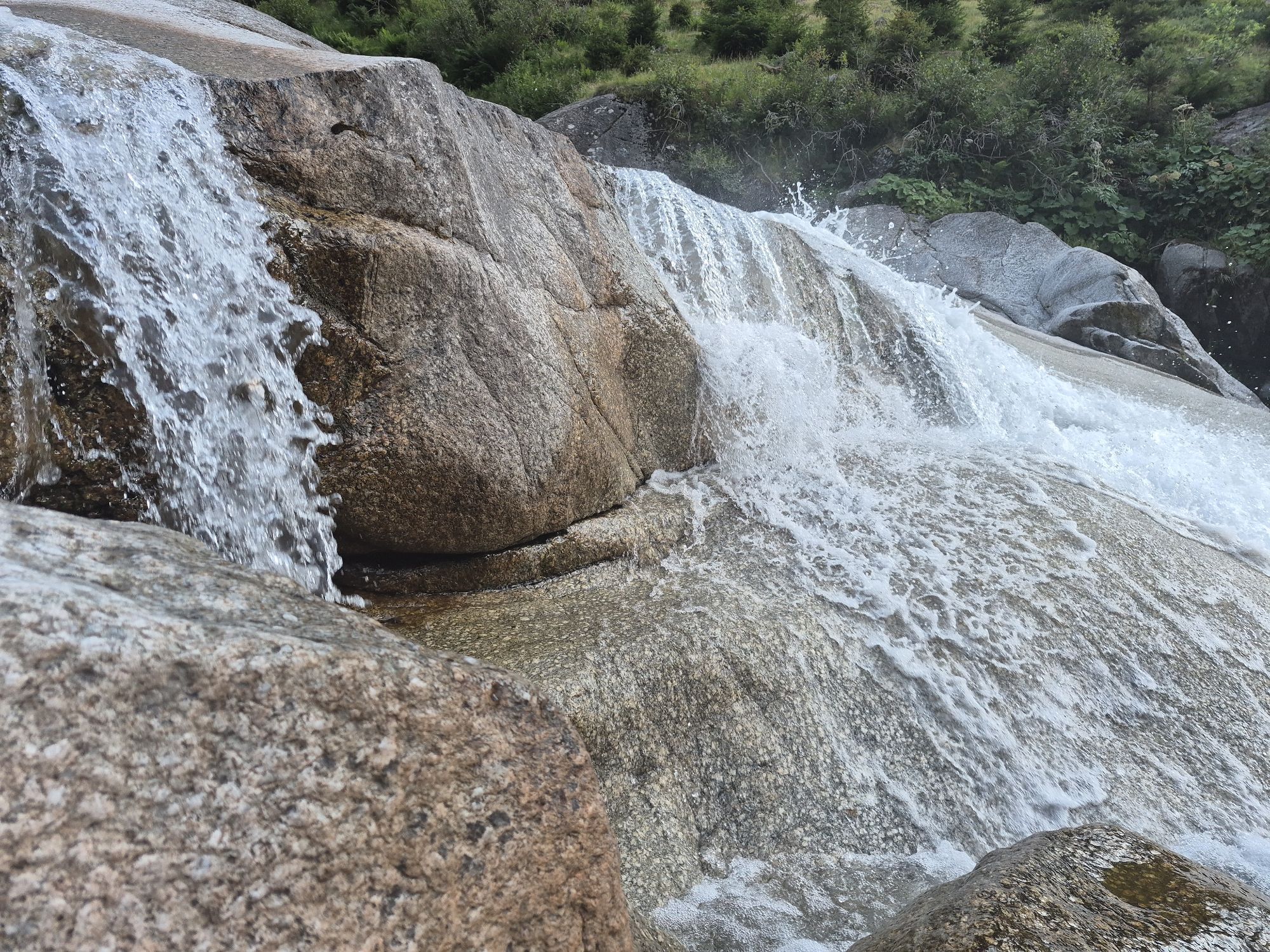
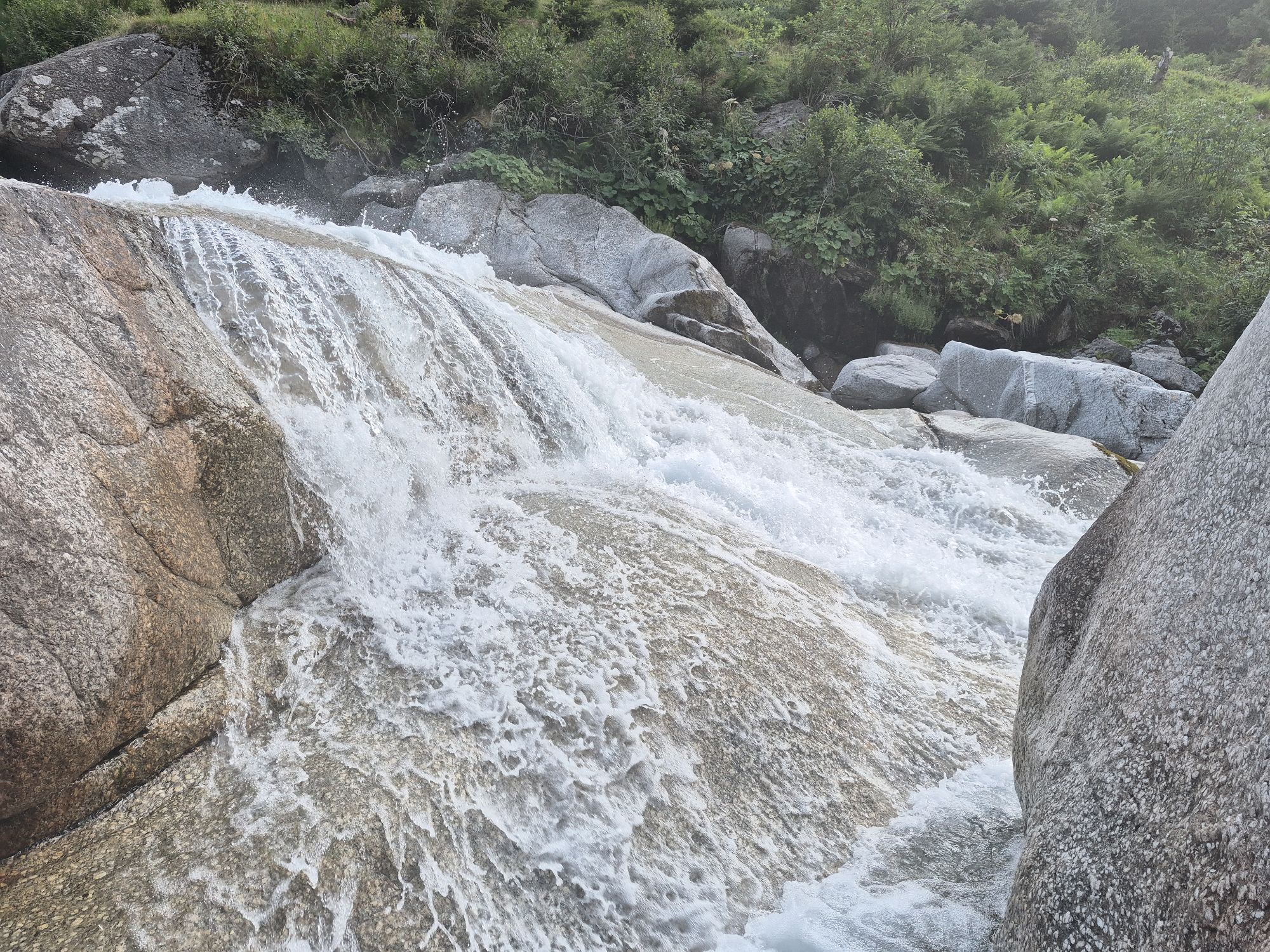
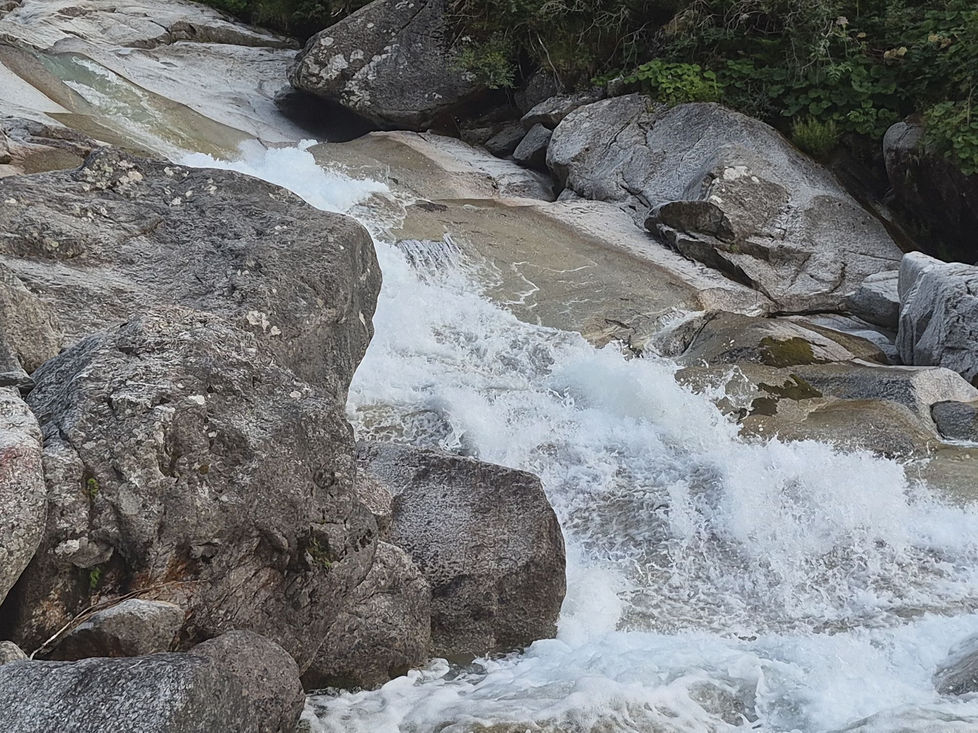
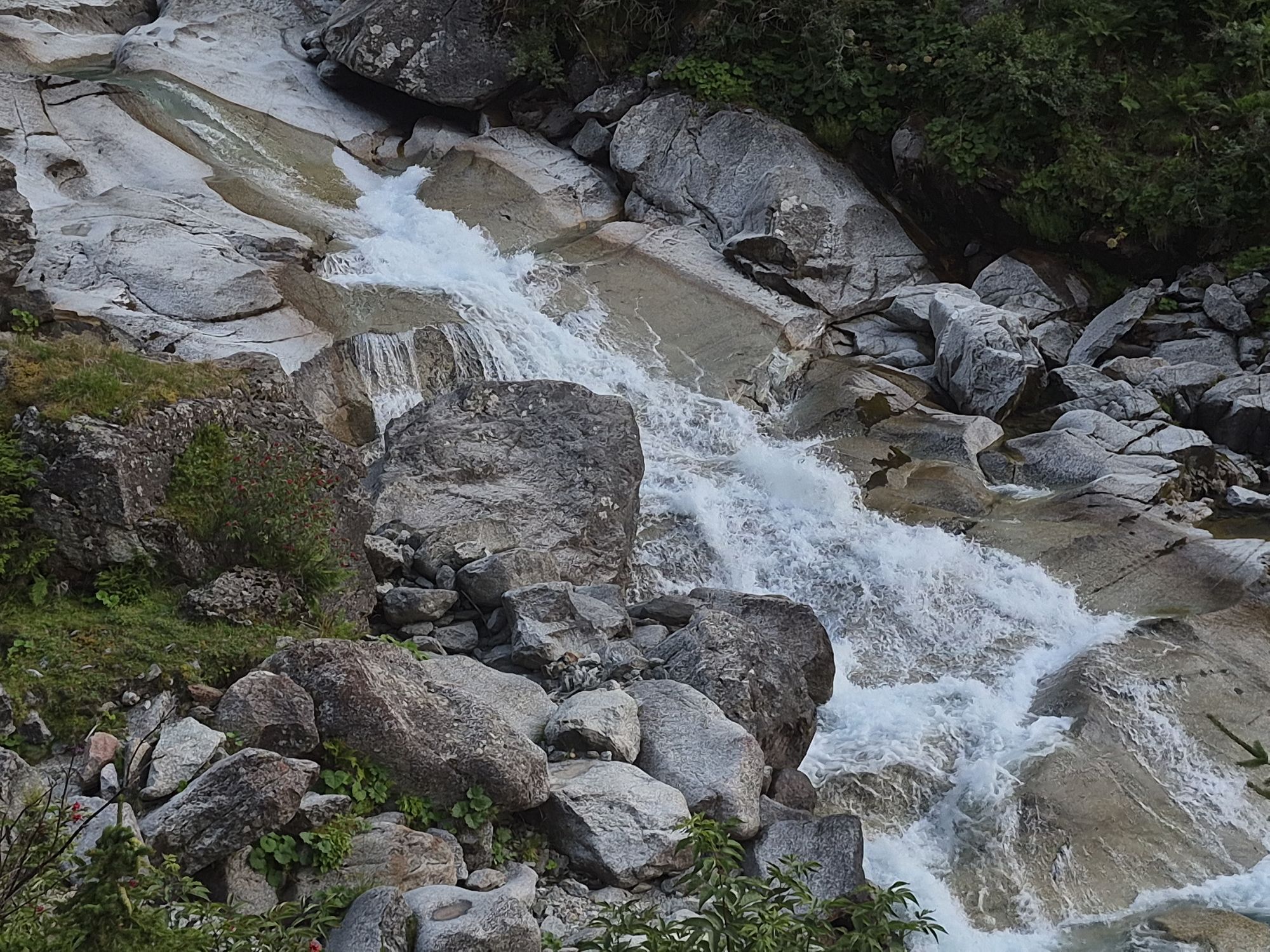
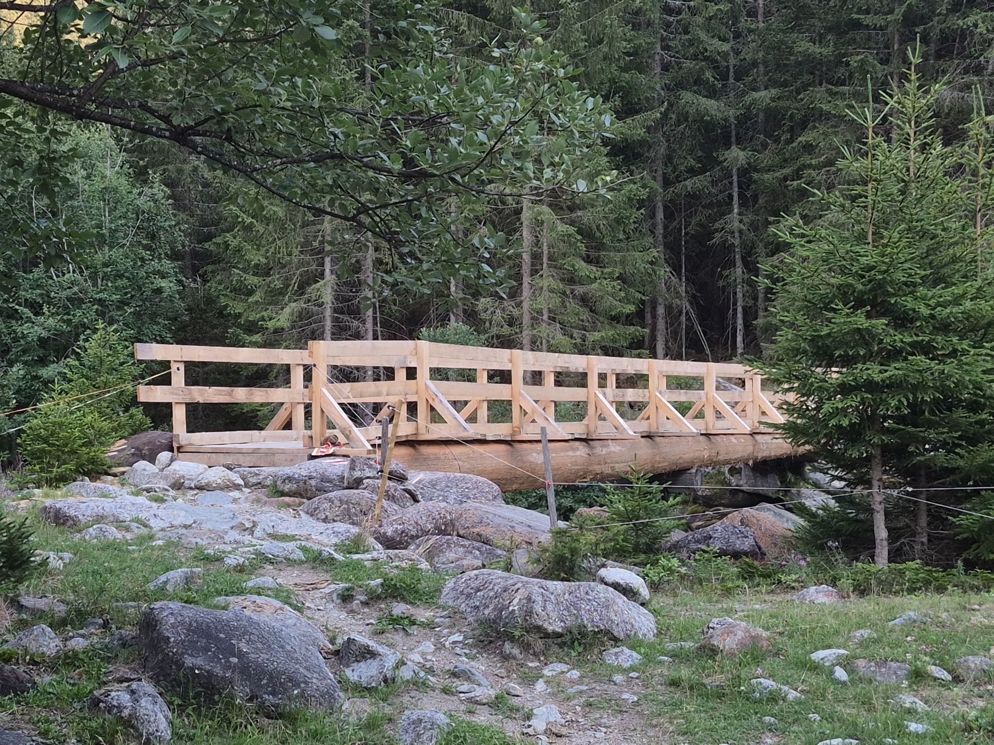
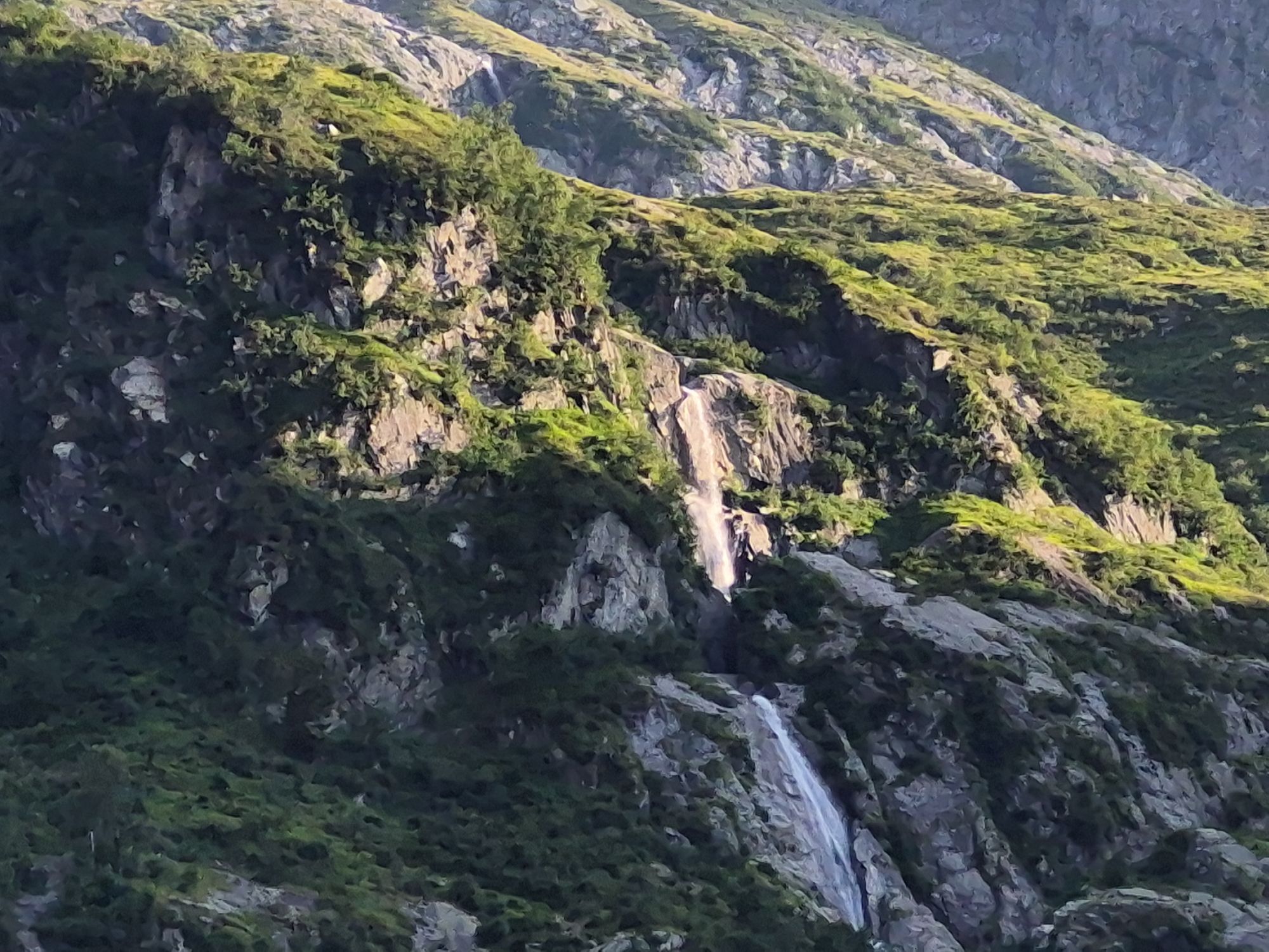
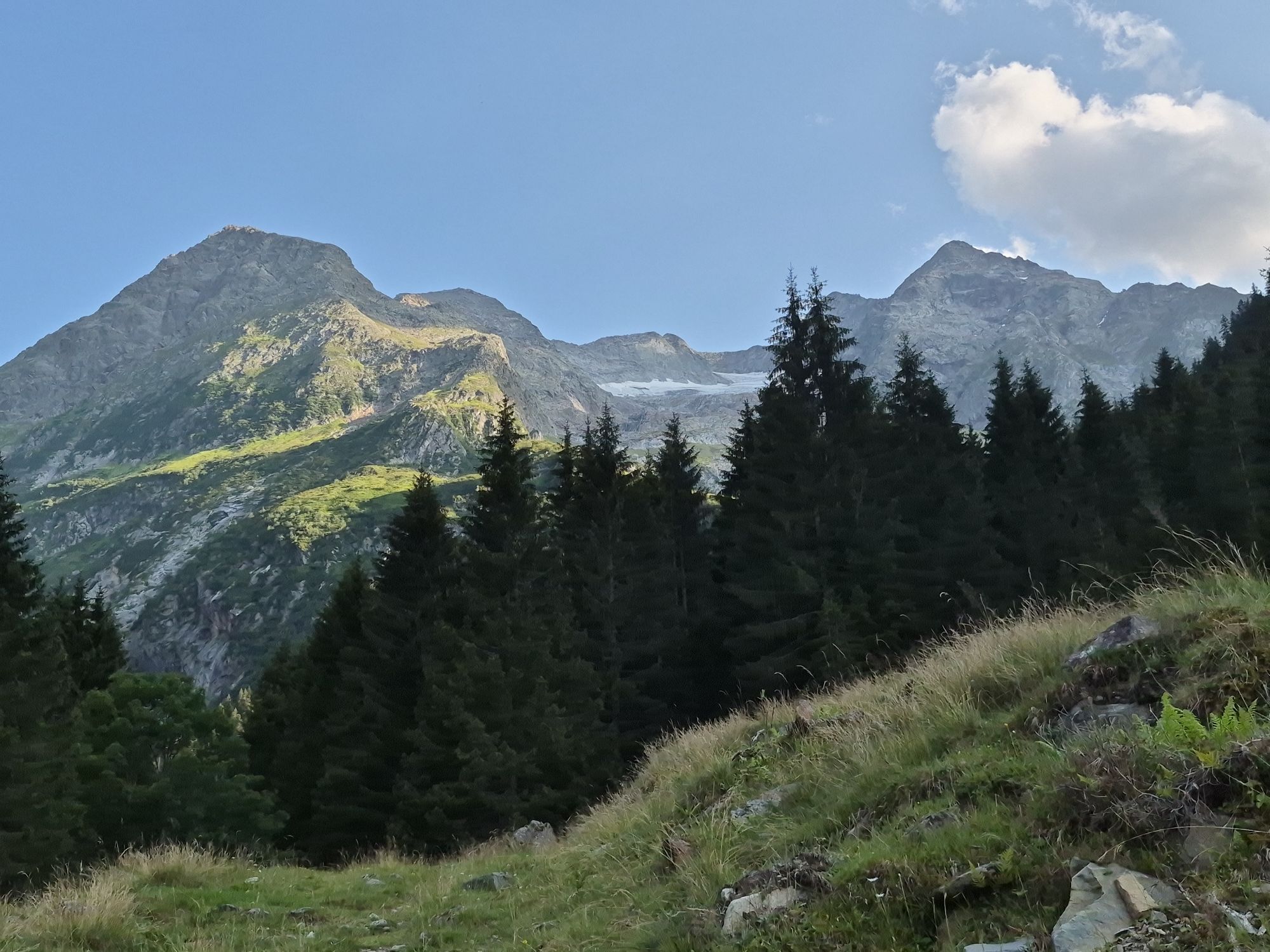
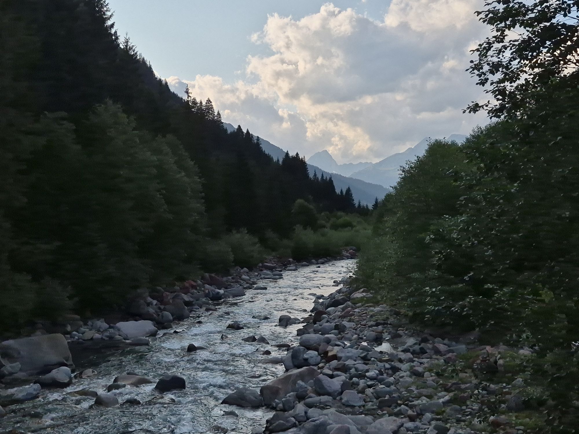
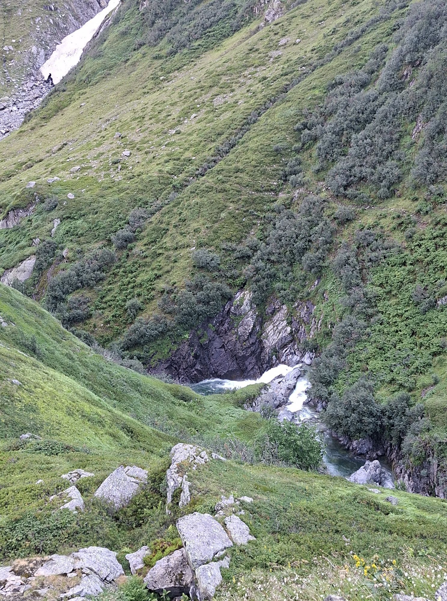
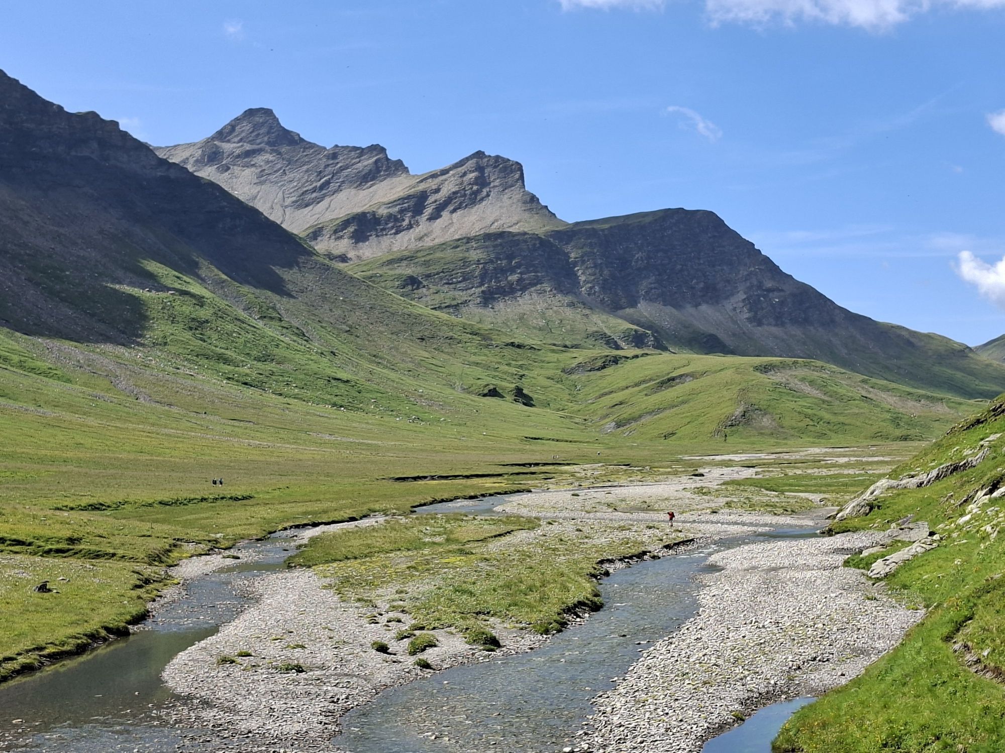


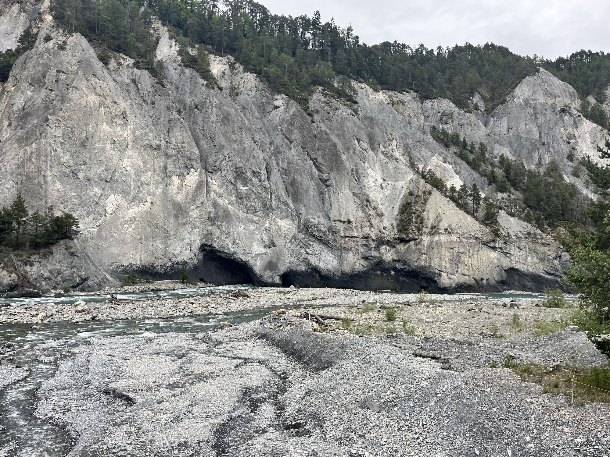


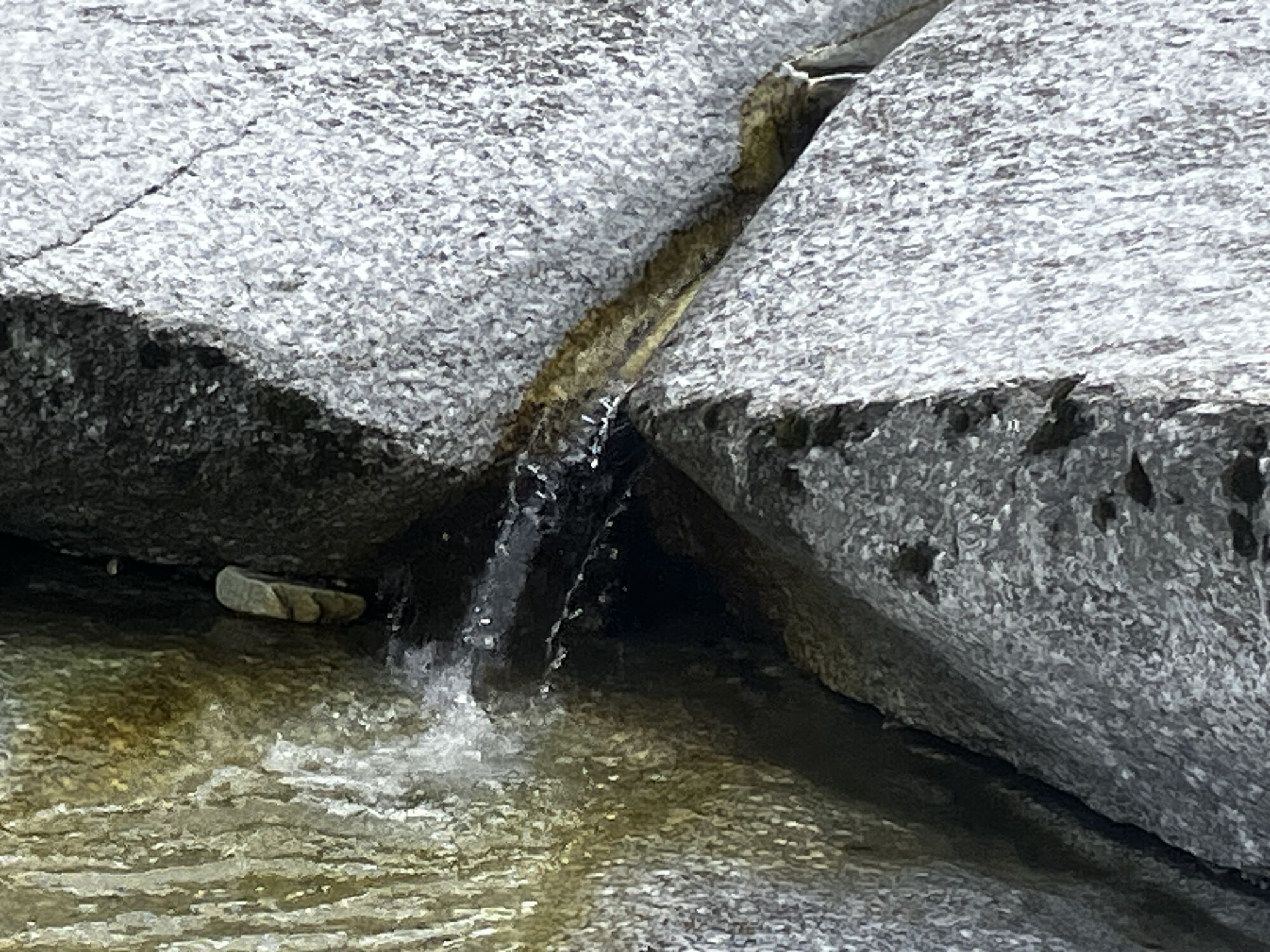
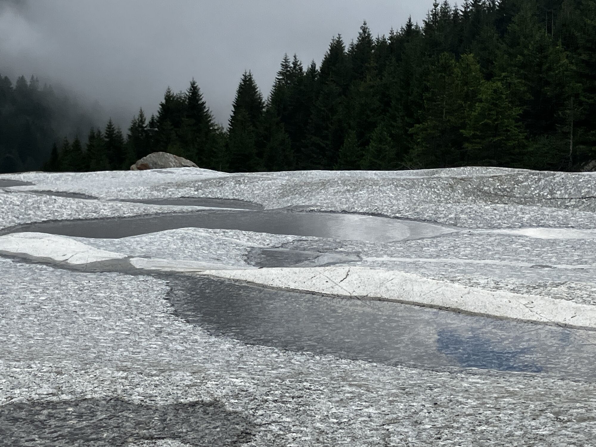
Often hikers only cross the famous Greina or the even more famous Rhine Gorge. On this multi-day route, you experience both natural phenomena. From the very top down to the bottom.
The route starts with...
Often hikers only cross the famous Greina or the even more famous Rhine Gorge. On this multi-day route, you experience both natural phenomena. From the very top down to the bottom.
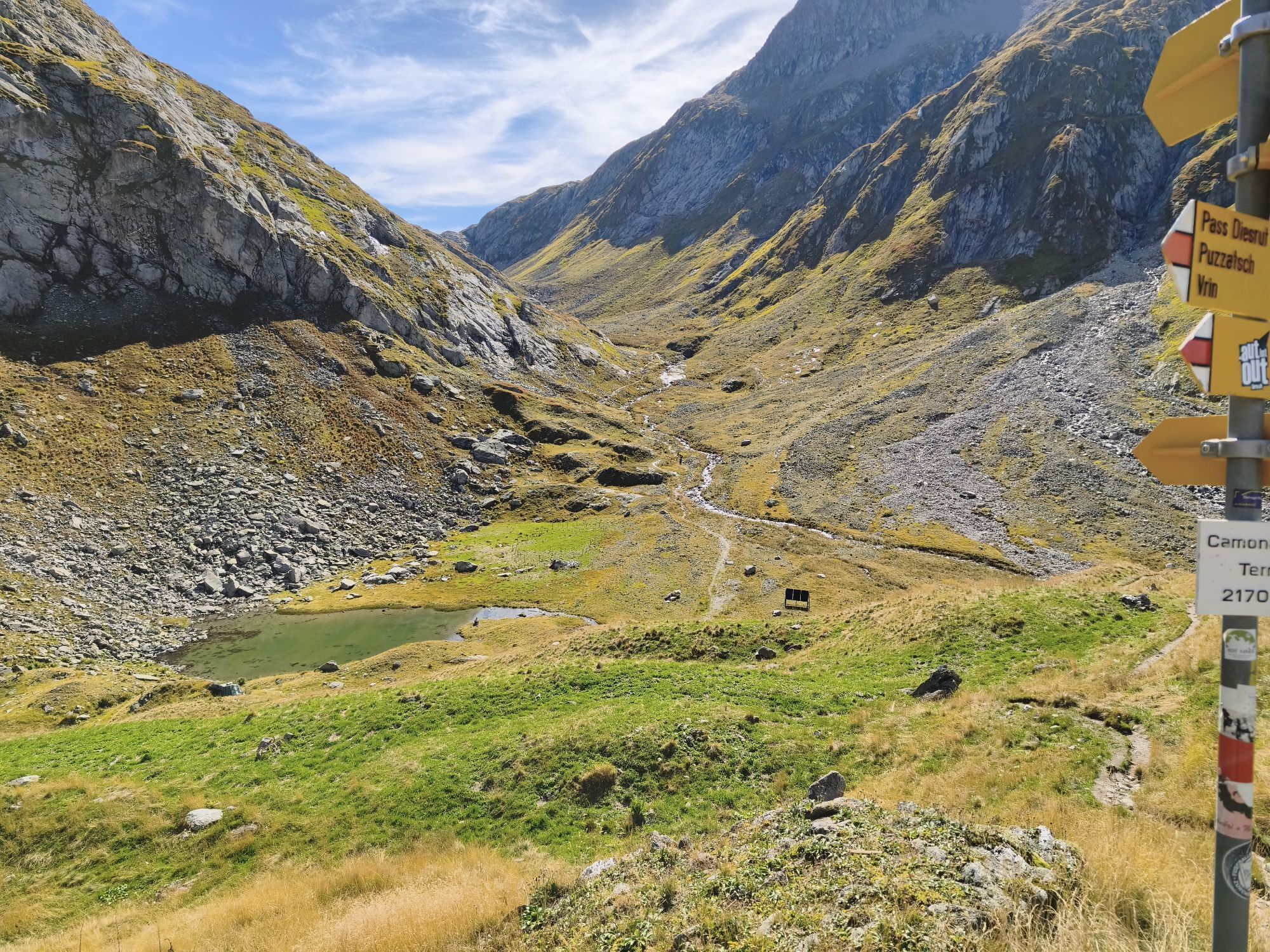
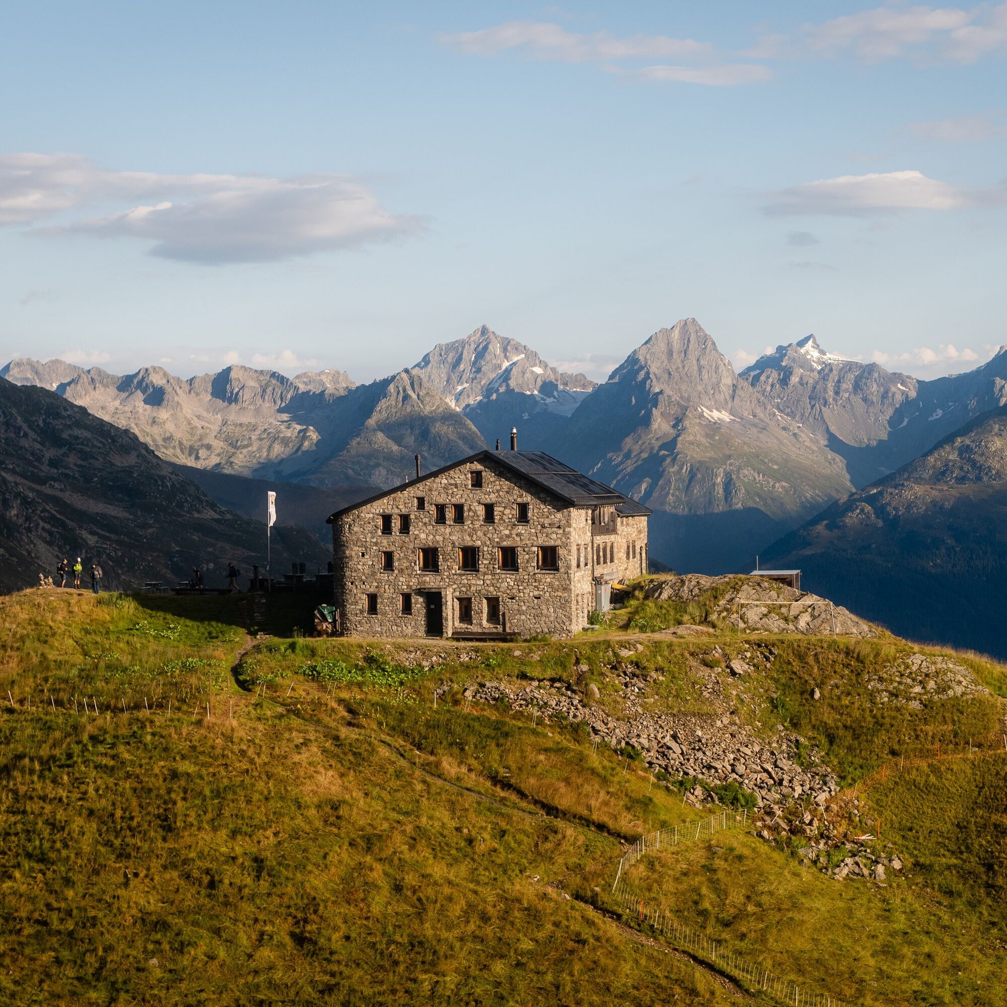
The route starts with an adventurous ride from Rabius-Surrein train station with the alpine bus into Val Sumvitg. After one hour of walking in, you climb sweatily uphill to the Terrihütte, your first overnight place.
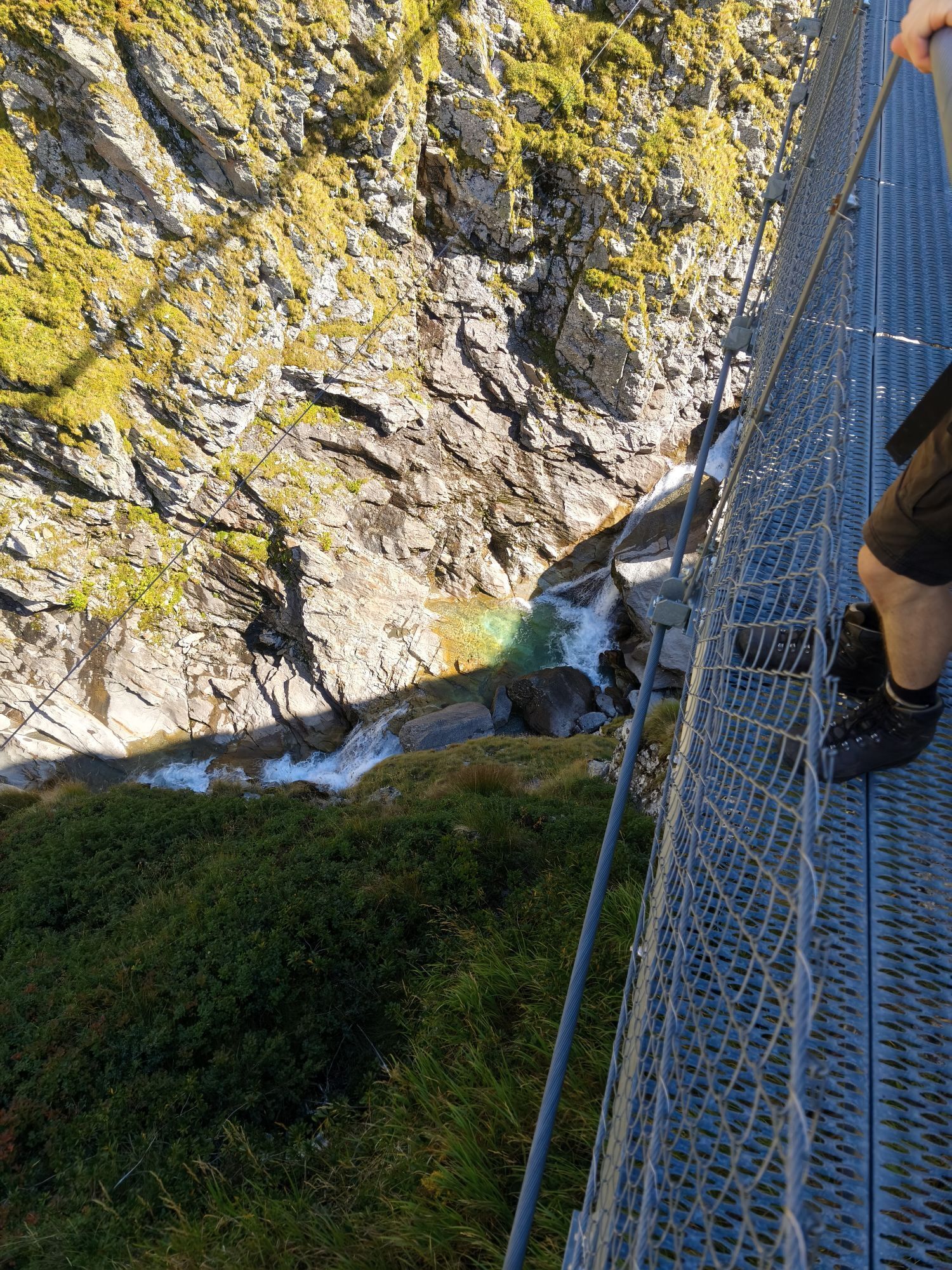
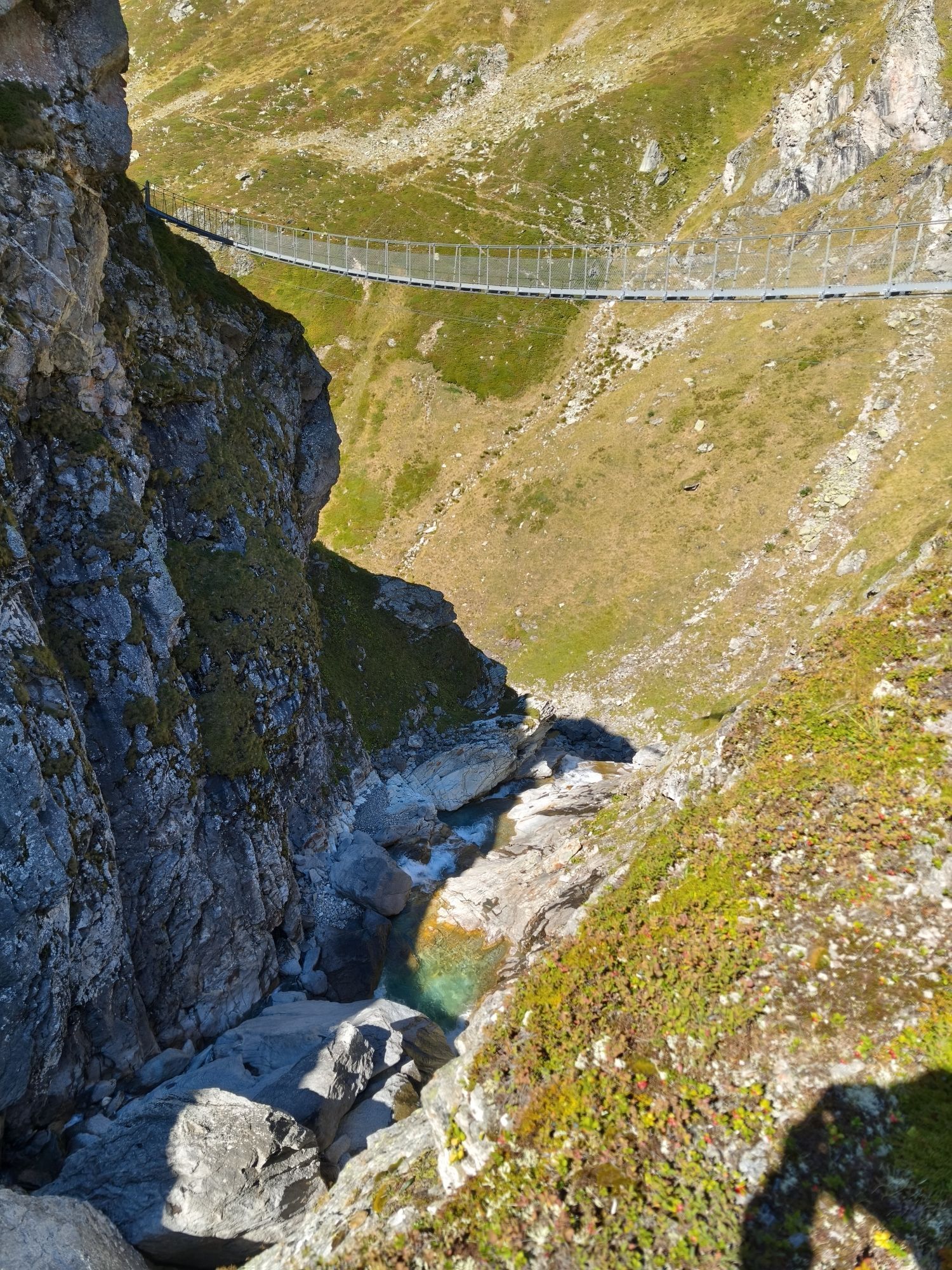
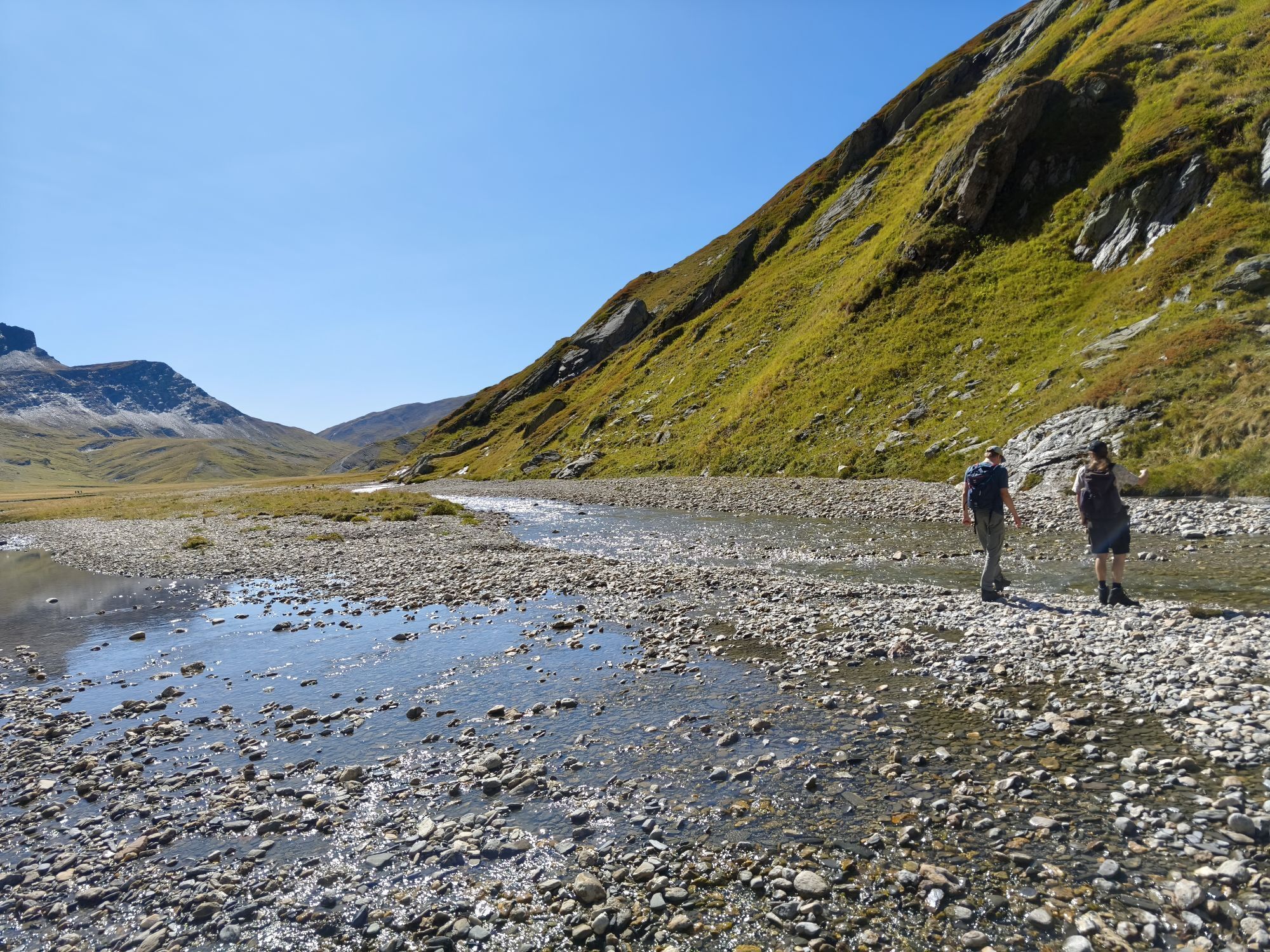
The second day begins with the suspension bridge "Punt la Greina". After crossing it, you may now hike to Diesrut Pass, from where you get a particularly beautiful view of the famous Greina plateau. Then you go downhill to Puzzatsch. Here you have the option to take the alpine bus to Vrin. Or you take the approximately one-hour walk on foot to Vrin or Sogn Giusep, your next overnight destination.
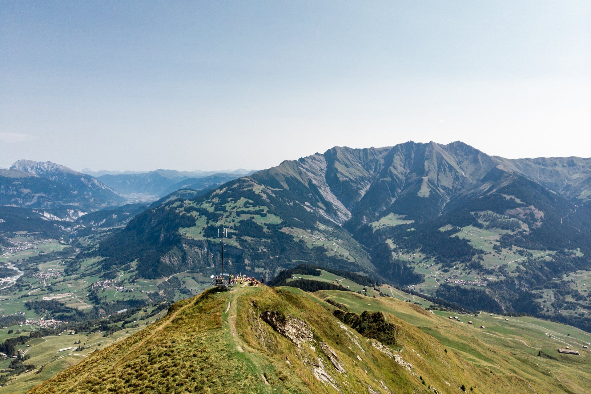
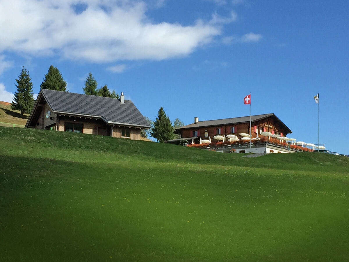
The third day is shaped by the climb to Péz Sezner and the well-known ridge walk to Piz Mundaun – one of the probably best panorama points in Surselva. Either you take the mountain railway down to Cuolm Sura or hike within about one hour to the same place. Here, a simple hotel room awaits you.
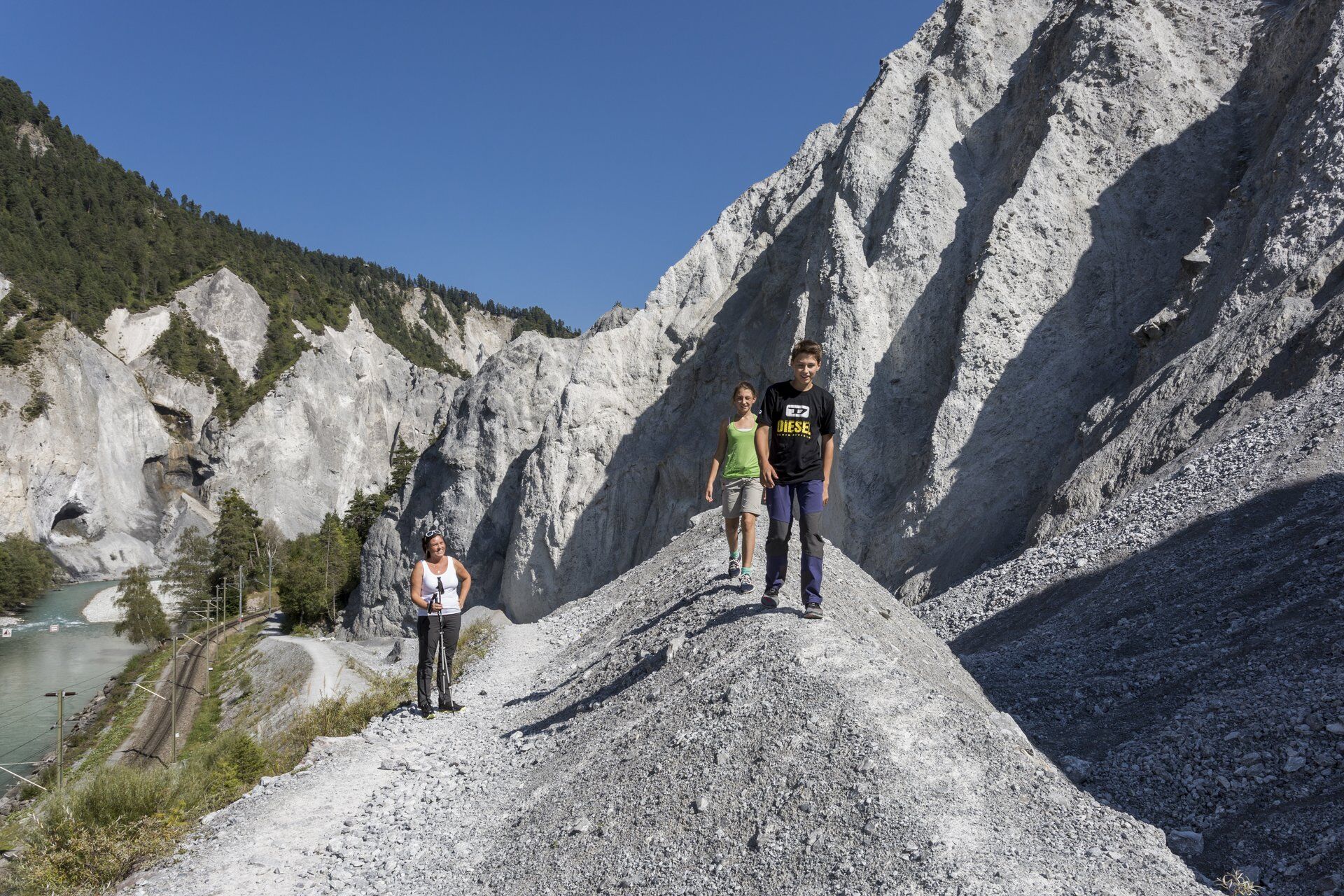
The fourth day begins with the descent to Ilanz, the first town on the Rhine. This part can also be done with the postbus from Surcuolm. From Ilanz, the known hiking trail leads deeper and deeper into the Rhine Gorge. Until in the end you stand underneath sandstone cliffs up to 300 meters high. The Rhaetian Railway then brings you back to the starting point in Rabius-Surrein.
Attention: Road closure in Val Sumvitg
Due to a landslide in the section near Acla Mulin, the road from Acla Mulin has been closed to all traffic. The Val Sumvitg alpine bus operates from/to the replacement stop (Suspension Bridge - Acla Mulin). The hiking time is extended by about 40 minutes towards Greina. Pedestrians can always access the rear Val Sumvitg and the Greina plateau via the Acla Mulin suspension bridge.
The duration of the closure is currently unknown.
At the Surrein, Val stop, there is also a restaurant. Please note the limited parking availability on site.

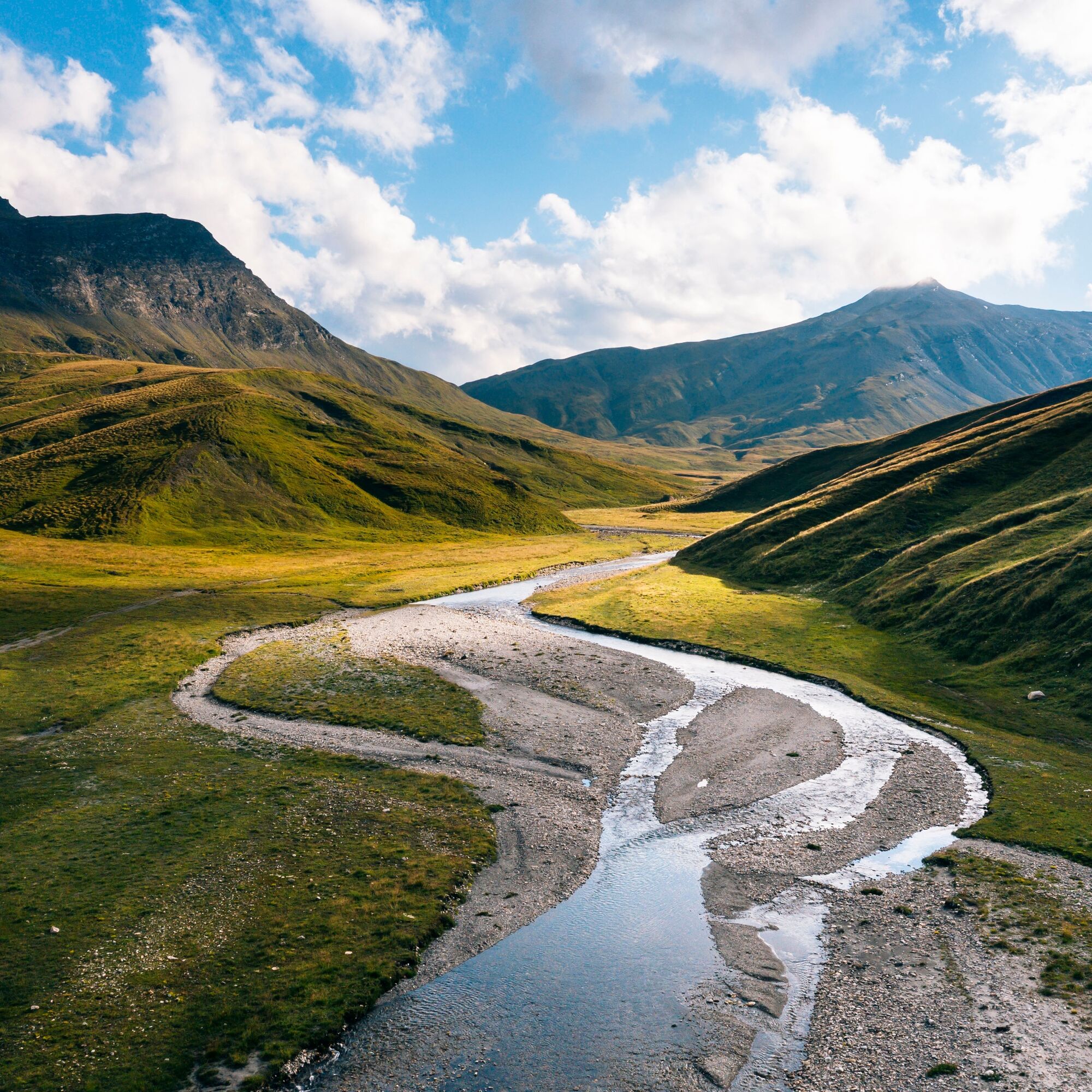
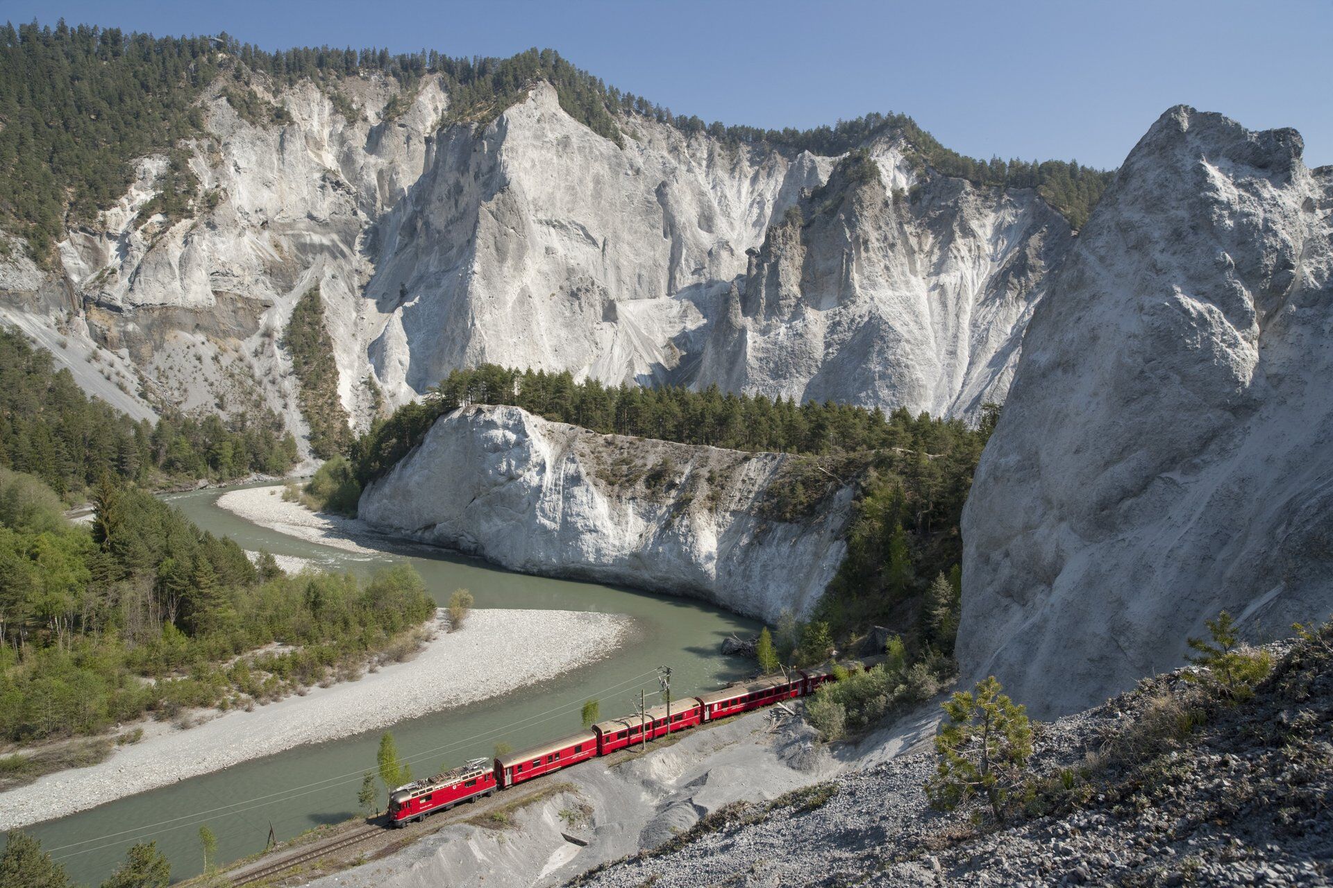

Rabius/Surrein train station - Alpine bus - Runcahez (Val Sumvitg) - Terrihütte - suspension bridge - Diesrut Pass - Puzzatsch - possibly alpine bus - Vrin - Alp Nova - Péz Sezner - Piz Mundaun - possibly mountain railway - Cuolm Sura - Surcuolm - Flond - Ilanz - Rhine Gorge - Versam/Safien - Return by train to the starting point
The stages
1. Rabius – alpine bus - Runcazez - Terrihütte: 3:50 h
2. Terrihütte – Diesrut Pass – Vrin: 3:40 h (Minus 1 hour with the alpine bus from Puzzatsch to Vrin)
3. Vrin – Péz Sezner – Piz Mundaun – chairlift – Cuolm Sura: 6:30 h (7:30 without chairlift)
4. Cuolm Sura – Surcuolm – Flond – Ilanz – Ruinaulta – Versam Station: 5:45 h
Options for day 4
Postbus from Surcuolm to Ilanz: Minus 2 hours
Another minus 2 hours by train from Ilanz to Valendas-Sagogn
Áno
Áno
Áno
Good hiking boots with good tread, weather-appropriate clothing (rain jacket), first aid kit, drink, food, possibly hiking poles, hut sleeping bag.
In uncertain weather conditions, the route should not be started. Weather changes in the mountains are frequent. If a rain front or similar arises during the hike, you should turn back in time.
Arrival Sumvitg/Rabius
Via Chur A3/A13 over Flims - Ilanz, then towards Disentis. Drive to Sumvitg or Cumpadials or Rabius (alpine bus stops)
Arrival Val Sumvitg:
RhB line 920 Chur - Disentis, stop Rabius / Surrein
Alpine bus Rabius/Surrein - Runcahez Val Sumvitg. Timetable and info
Return trip Versam-Station - Rabius/Surrein: Timetable
Sumvitg/Rabius
Public parking spaces in Sumvitg and Rabius near the schoolhouse as well as in Sumvitg village center. At the Sumvitg train station, parking spaces are subject to a fee.
T3
For those who prefer it a bit easier, the route can be shortened using the alpine bus (Puzzatsch-Vrin), the mountain railway (Piz Mundaun-Cuolm Sura), and the postbus (Surcuolm-Ilanz). If you only want to hike the heart of the Rhine Gorge on the last day, take the train from Ilanz to Valendas-Sagogn and then hike about 1.5 hours to the route end in Versam.
Webové kamery z prehliadky

Obľúbené výlety v okolí
-
4,9
Rheinschlucht: From Ilanz to Versam into the heart of the Rheinschlucht
strednáTuristika 11,4 km -
5,0
High valley Val Frisal
ťažkéTuristika 12,4 km -
3,8
Circular hike: Falera-Curnius-Alp Dadens-Falera
strednáTuristika 11,4 km -
5,0
Panorama route
svetloTuristika 5,39 km -
5,0
2-day hike Greina high plateau
ťažkéTuristika 15,5 km -
Piz Fess 2880m, the proud one
ťažkéTuristika 12,8 km -
5,0
Hiking route Suspension Bridge Val da Tersnaus
strednáTuristika 3,24 km -
4,7
Dutjer Alp - magnificent view
strednáTuristika 8,23 km -
Giro della Greina
Turistika 50,6 km -
Panoramic route between Piz Mundaun and Péz Sezner
strednáTuristika 6,75 km
Turistika a stopovanie


Nenechajte si ujsť ponuky a inšpiráciu na ďalšiu dovolenku
Vaša e-mailová adresa bol pridaný do poštového zoznamu.


