






Umbrail Pass - Piz Umbrail - Lai da Rims - Praveder - Prà da Vau

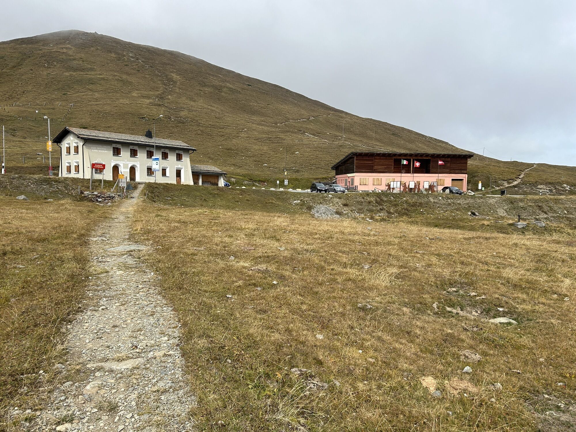
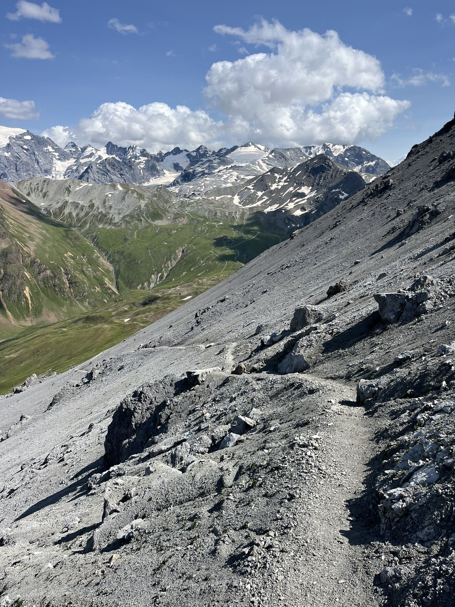
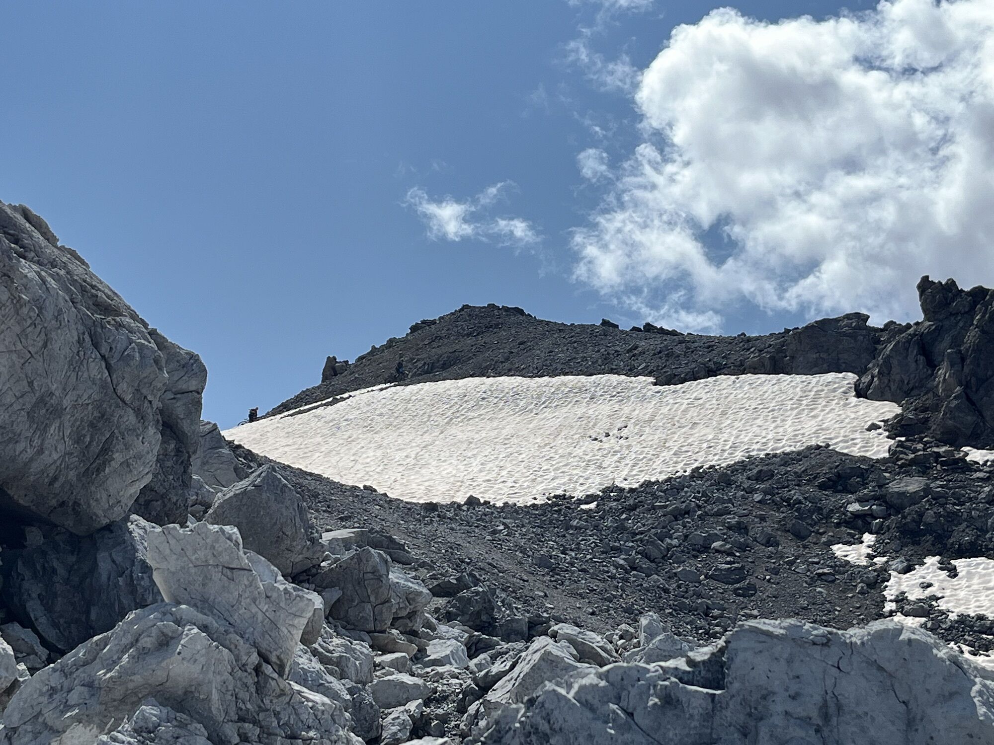
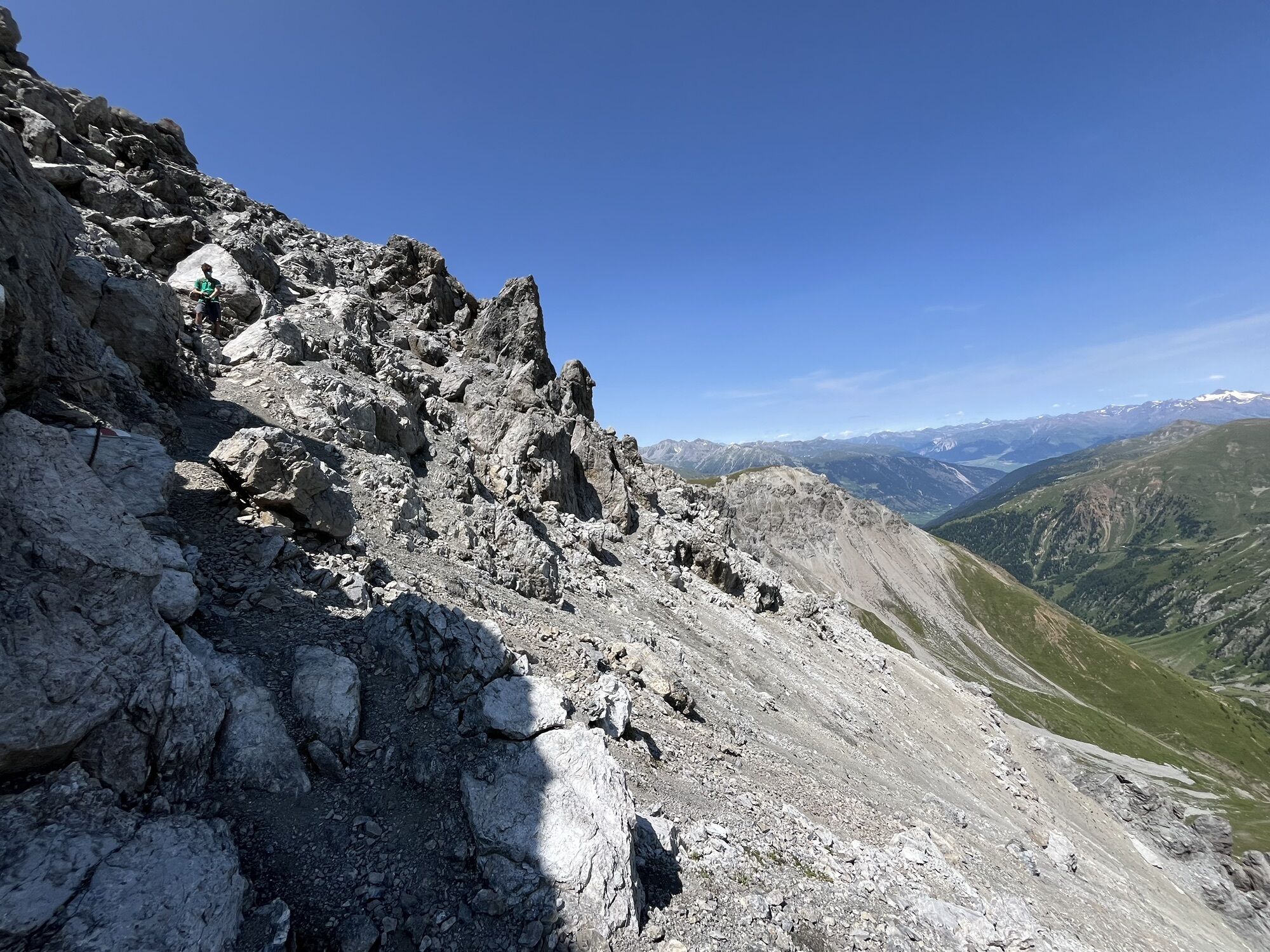
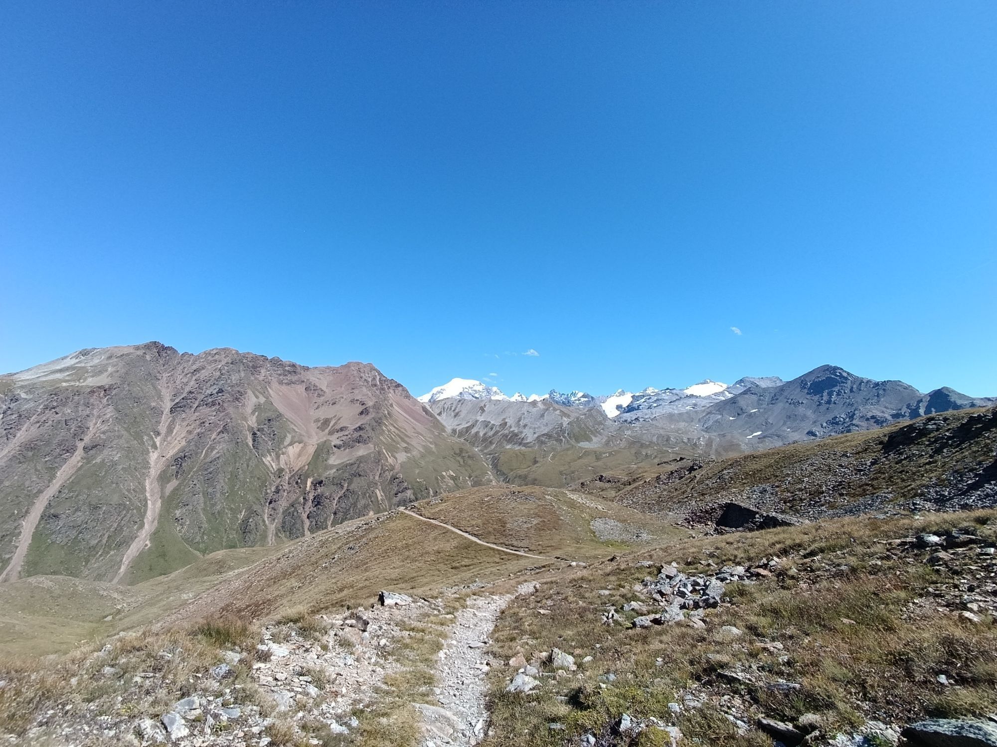
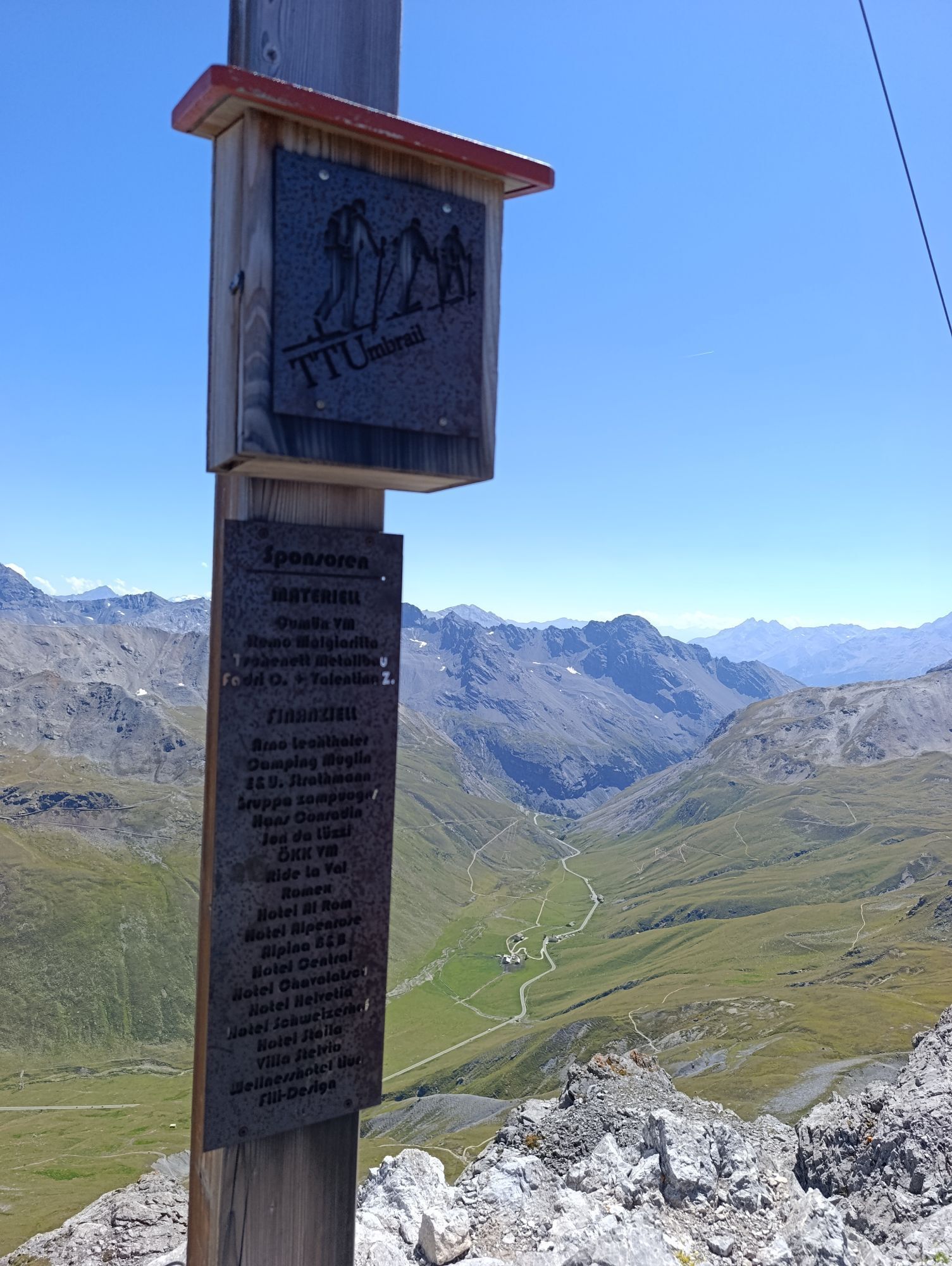
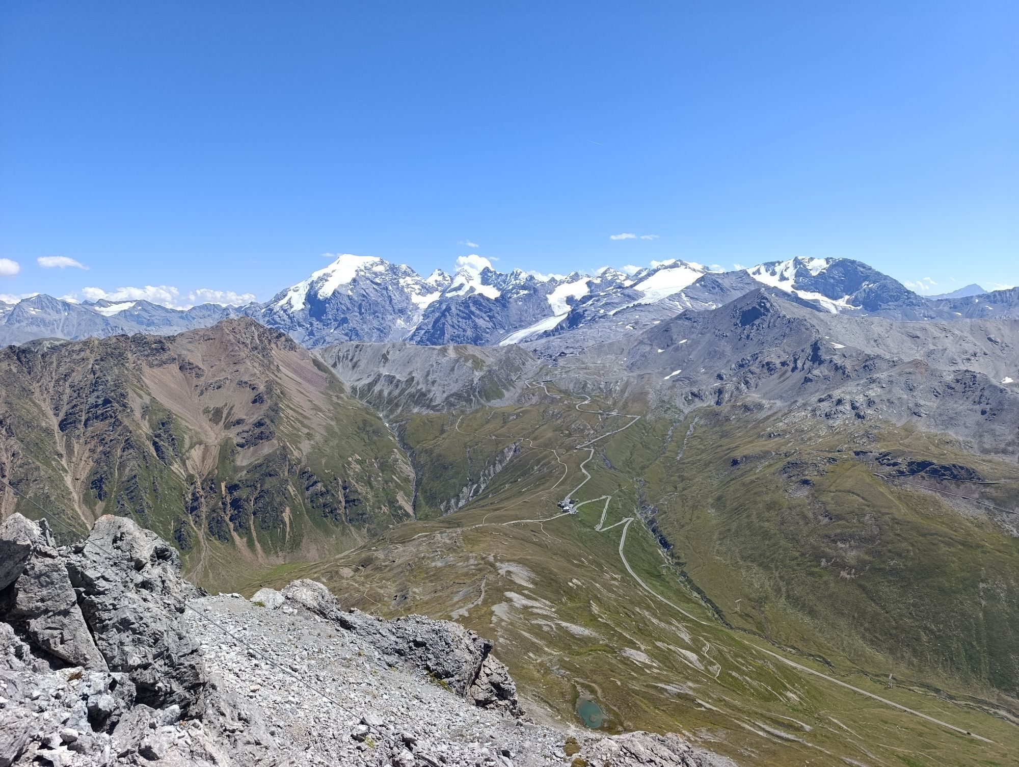
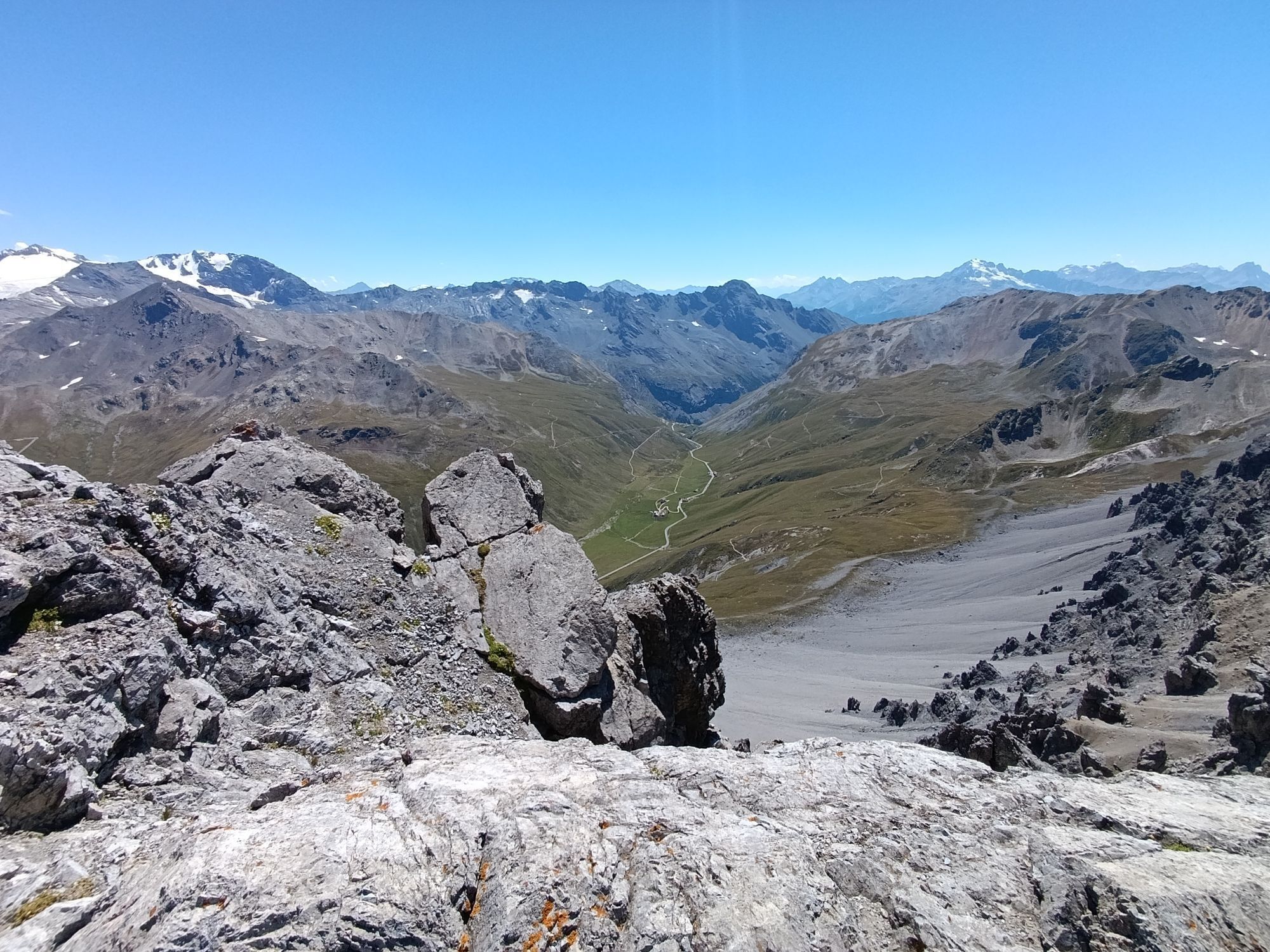
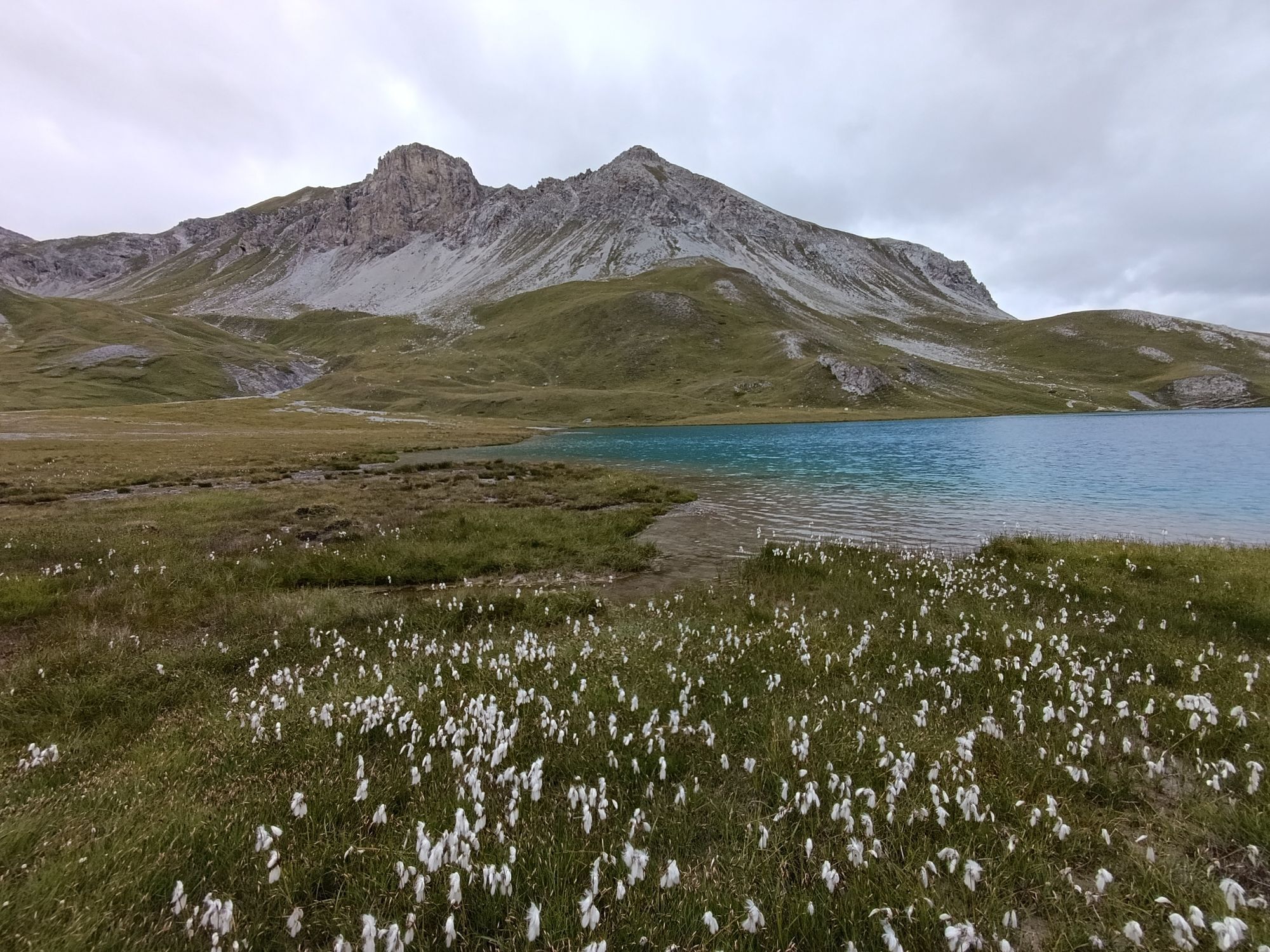
Take the PostAuto from Sta. Maria Posta to the Umbrail Pass (2,500 m a.s.l.), where the starting point of this spectacular hike is. After an ascent of about 1:15 hours, you reach Piz Umbrail - the highest...
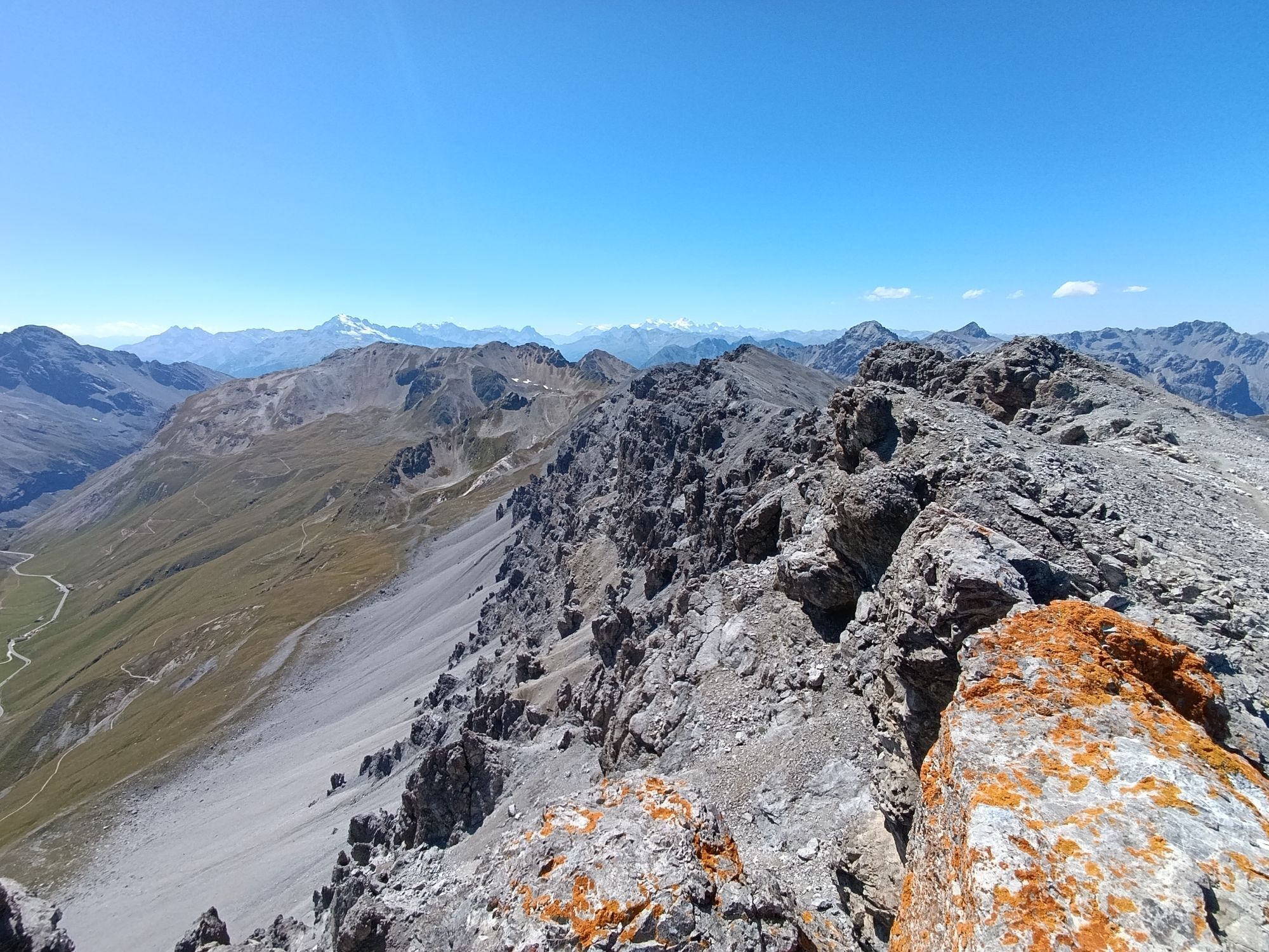
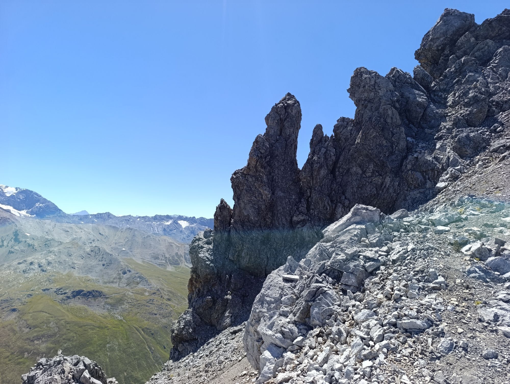
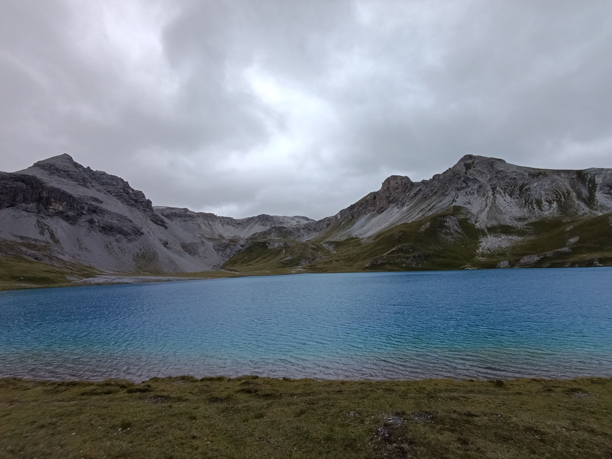
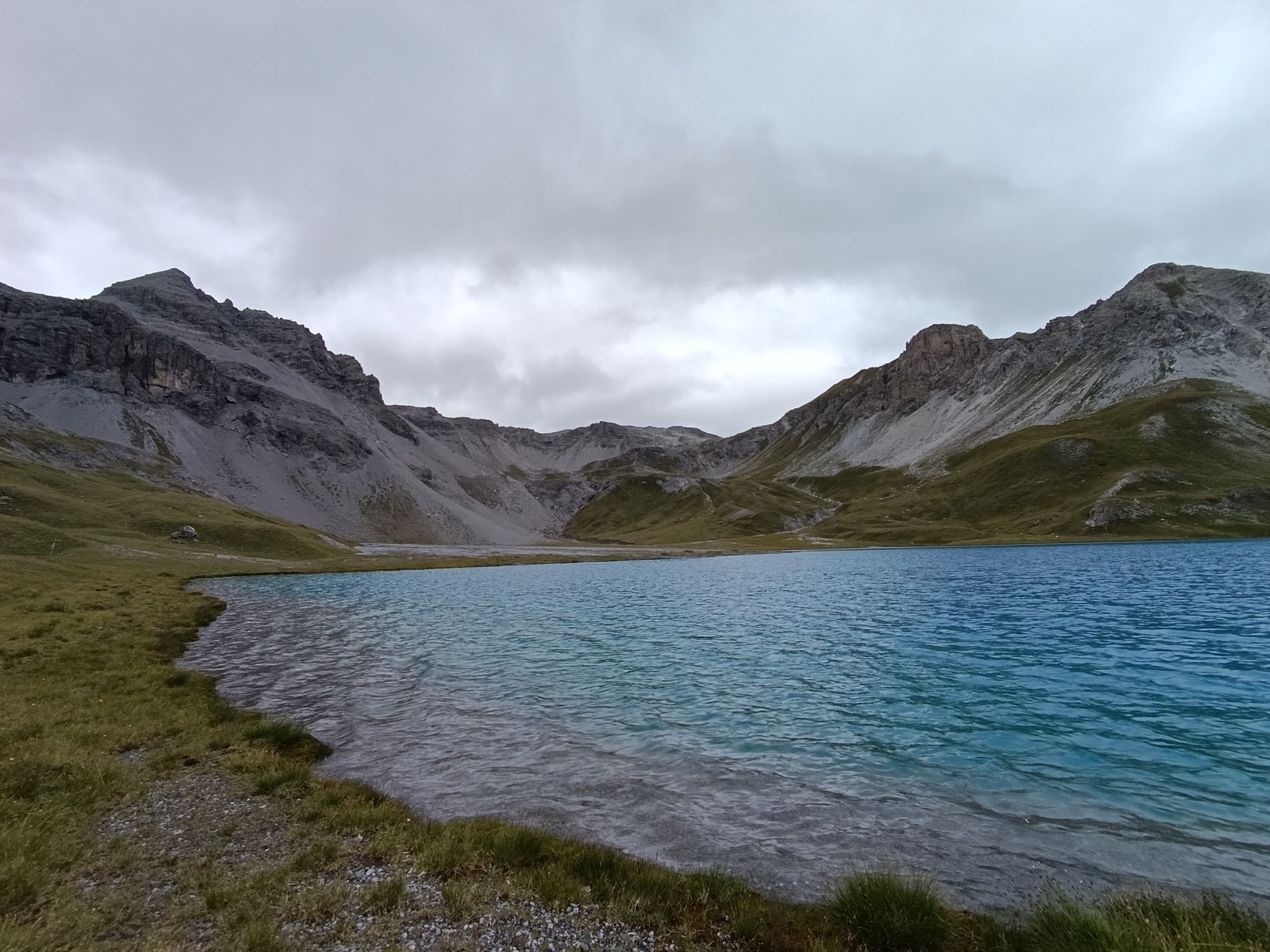
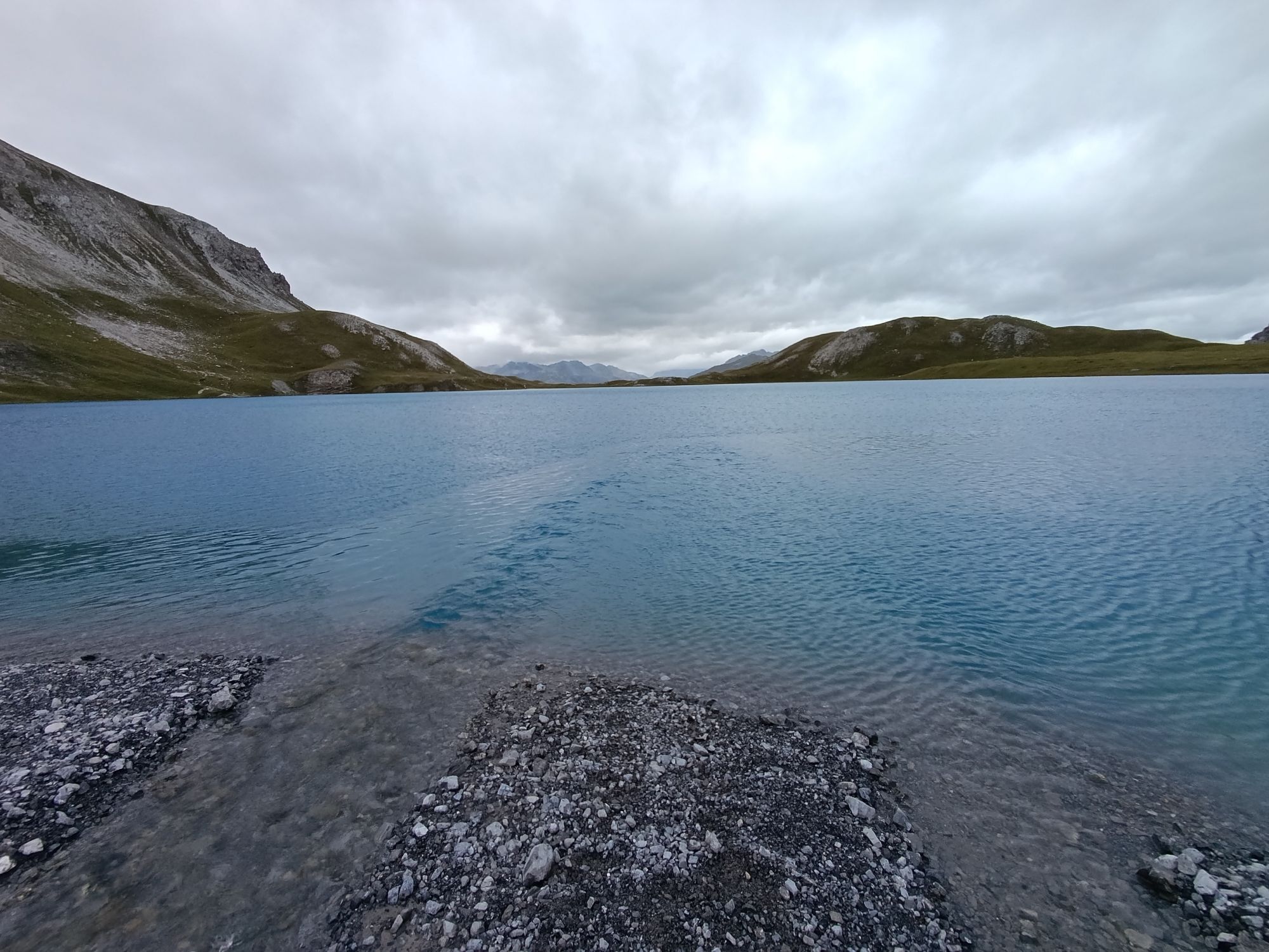
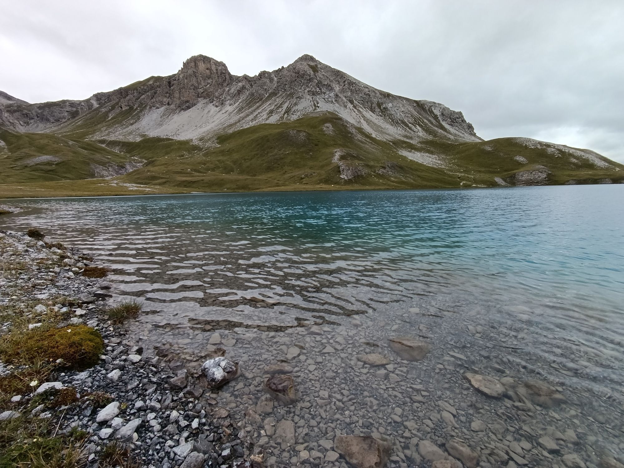
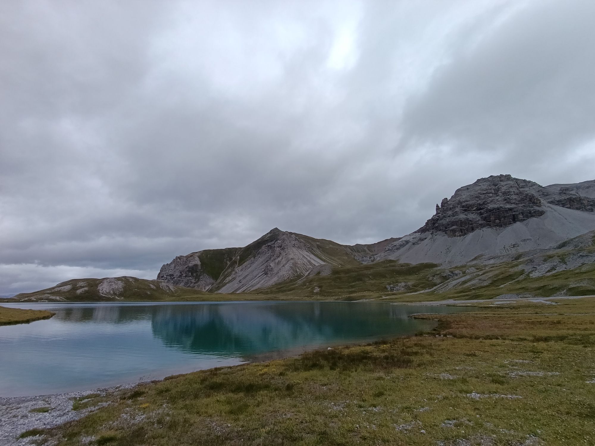
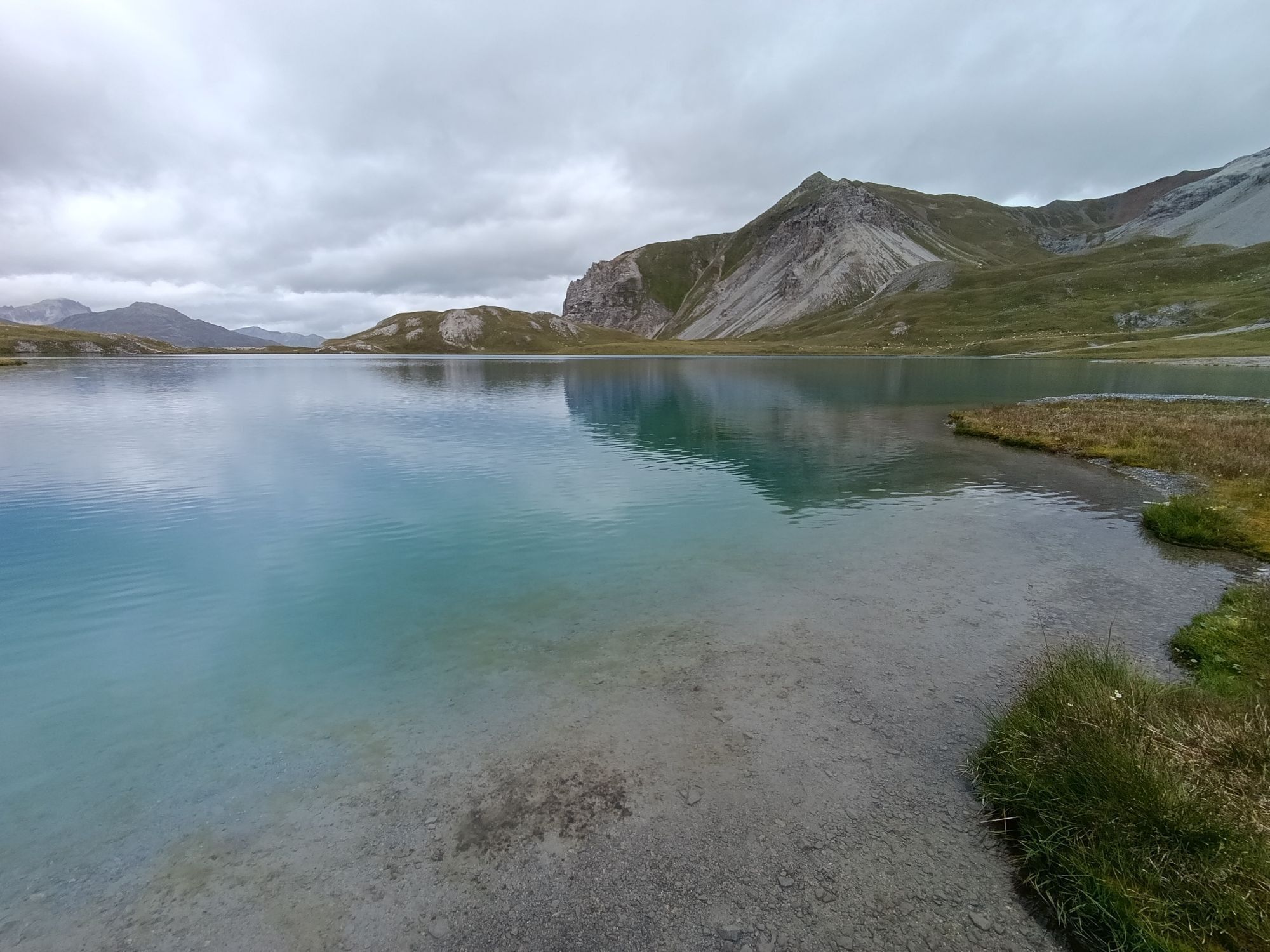
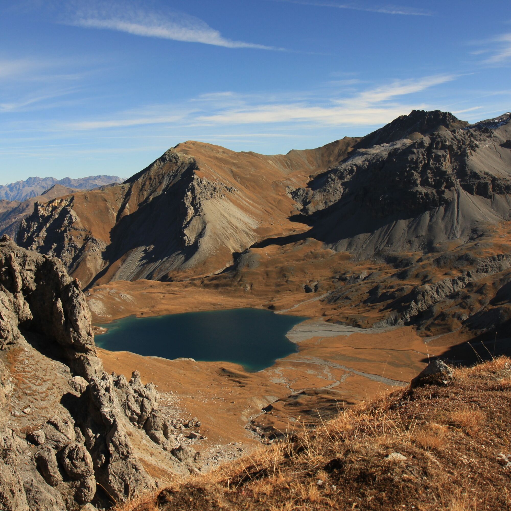
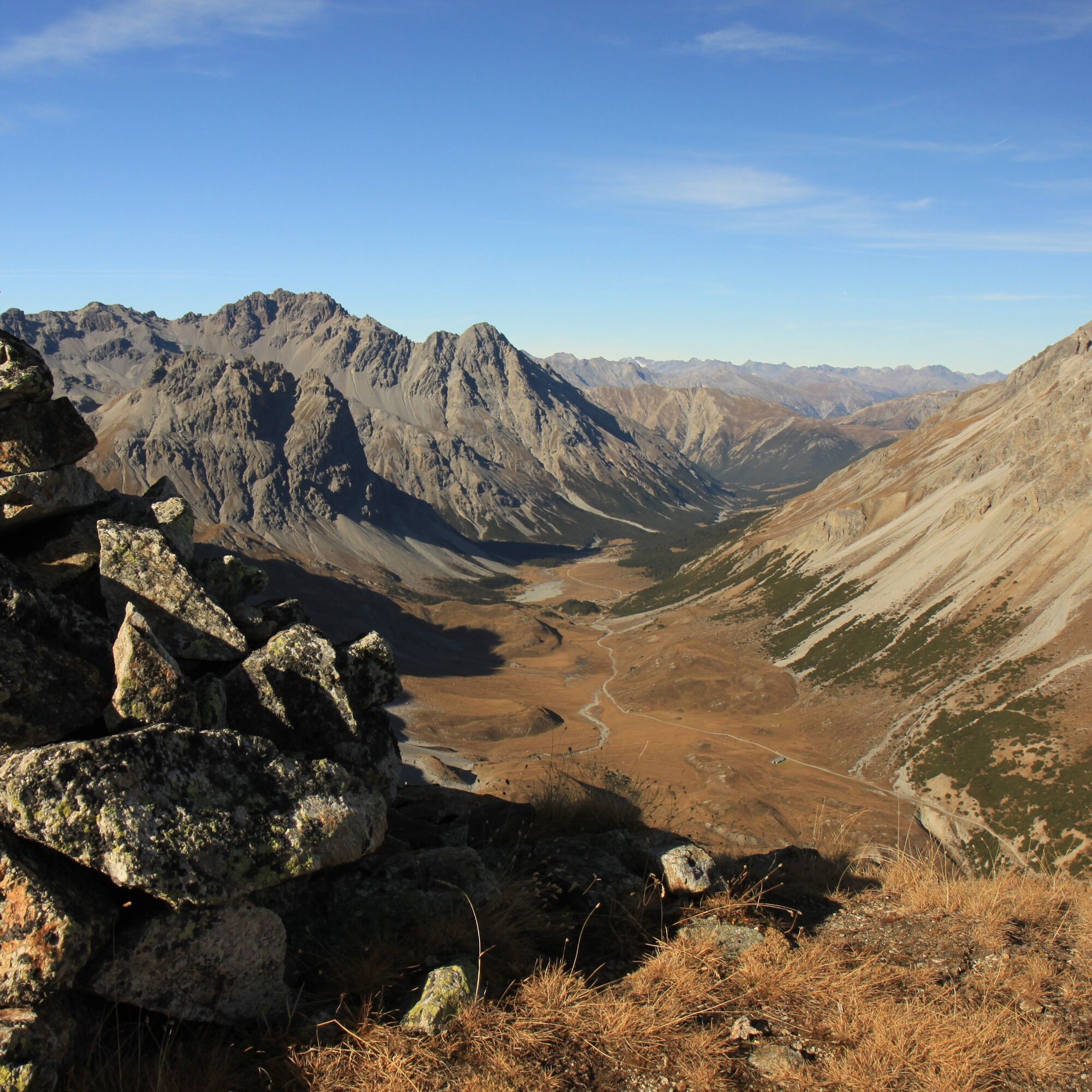
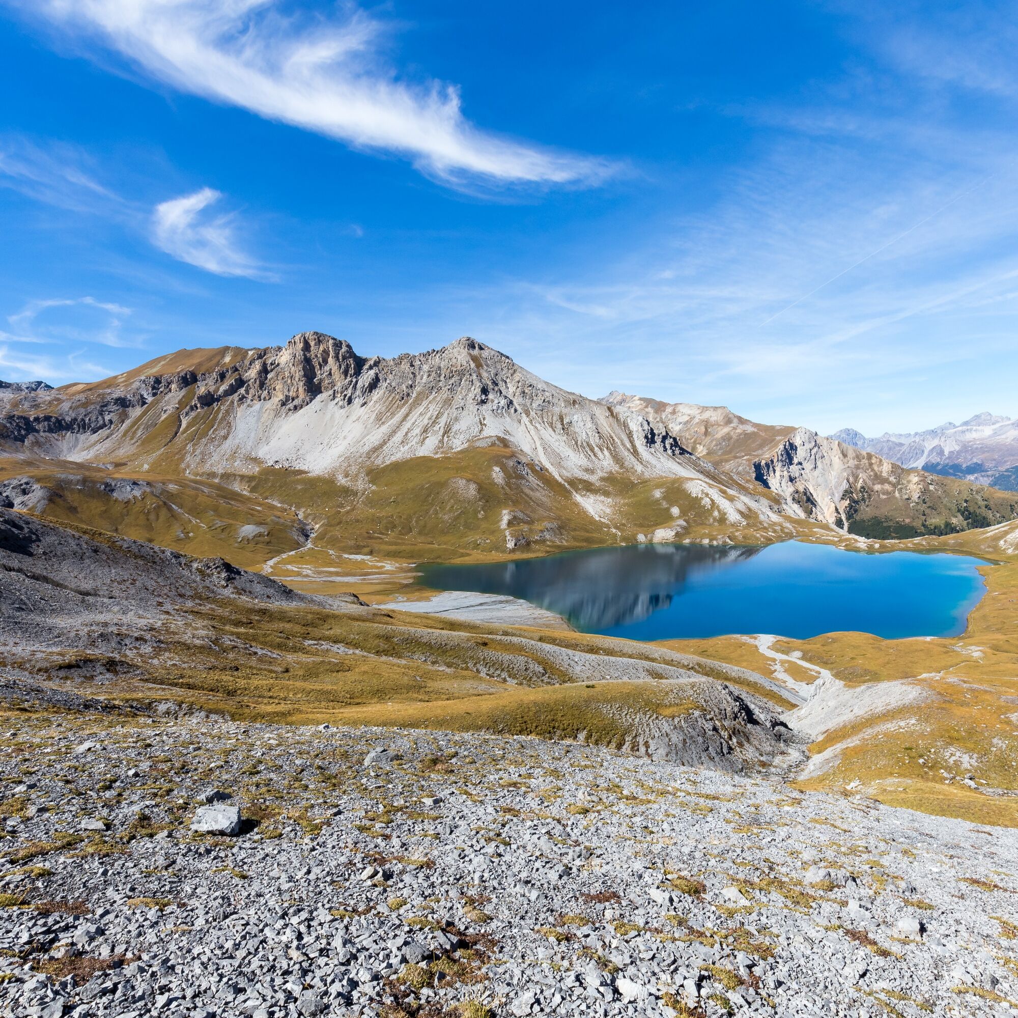
Take the PostAuto from Sta. Maria Posta to the Umbrail Pass (2,500 m a.s.l.), where the starting point of this spectacular hike is. After an ascent of about 1:15 hours, you reach Piz Umbrail - the highest point of the hike (3,033 m a.s.l.). The subsequent descent leads in 1:30 hours to Lai da Rims - the famous emerald-blue lake on the plateau. After a short stretch along the lake, the hike continues in 1:15 hours up to the saddle of Piz Praveder (for a detour to Piz Praveder and back, about 45 minutes extra must be allowed). Then follows the descent into Val Döss Radond, from where in 0:45 hours you meet the forest road Val Mora. Follow Val Mora along the forest road to Val Vau and after 1:30 hours reach the PostAuto stop Val Vau (not served every day). After another 1:15 hours you reach the village of Sta. Maria.

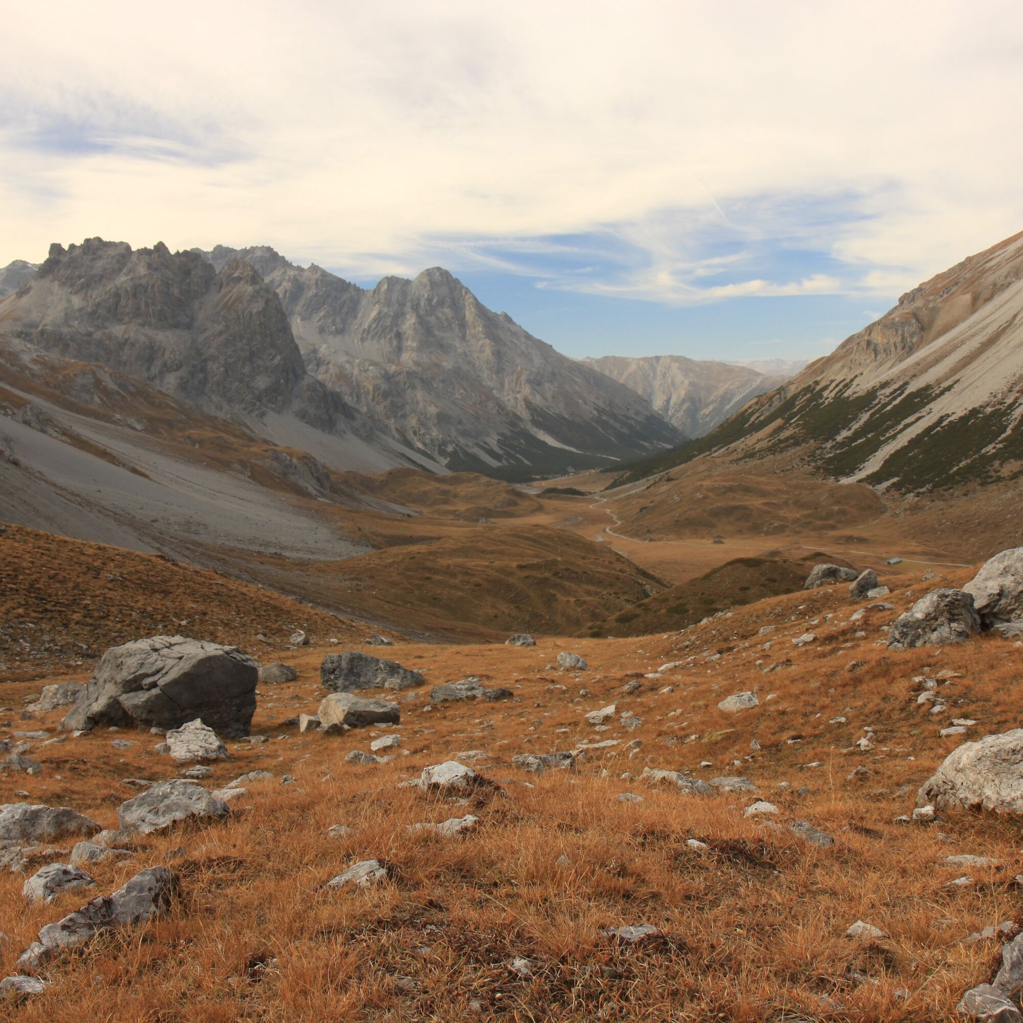
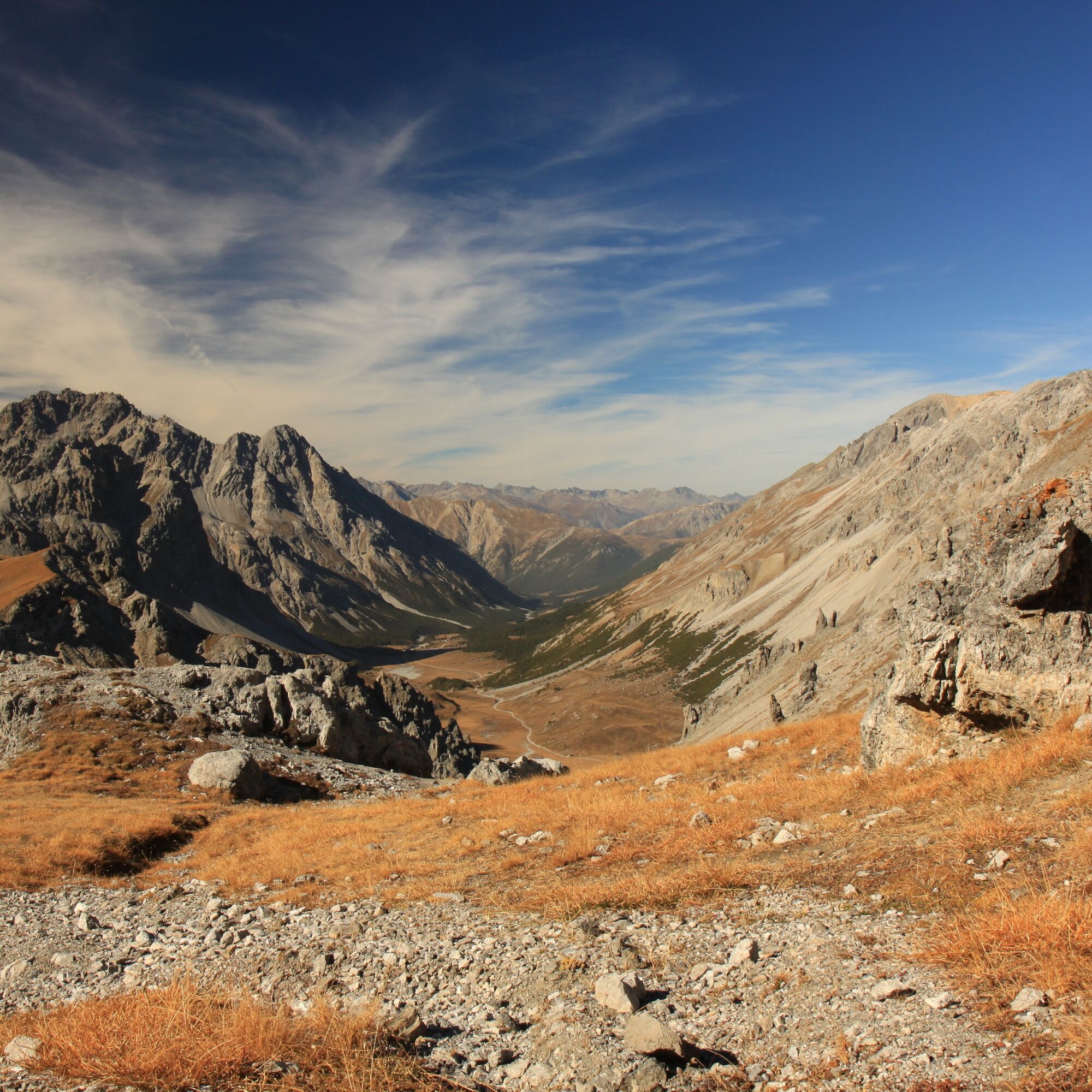

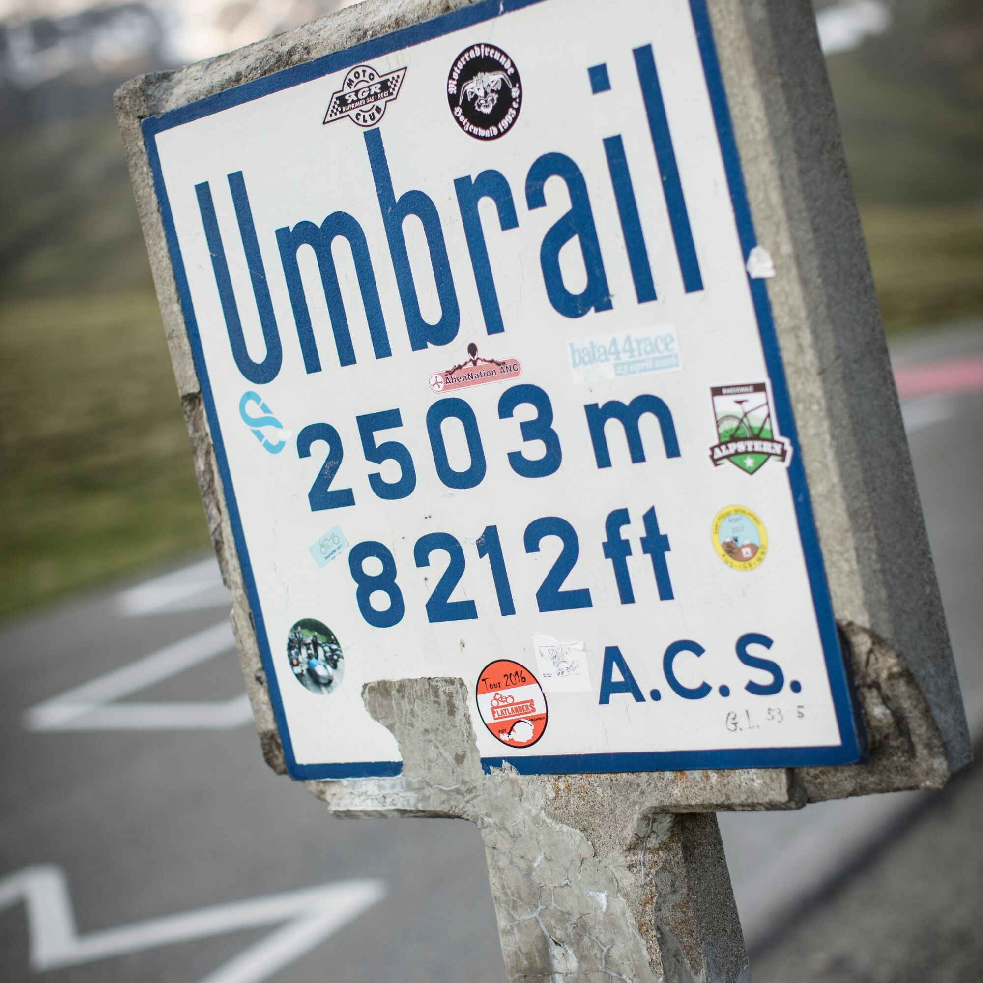
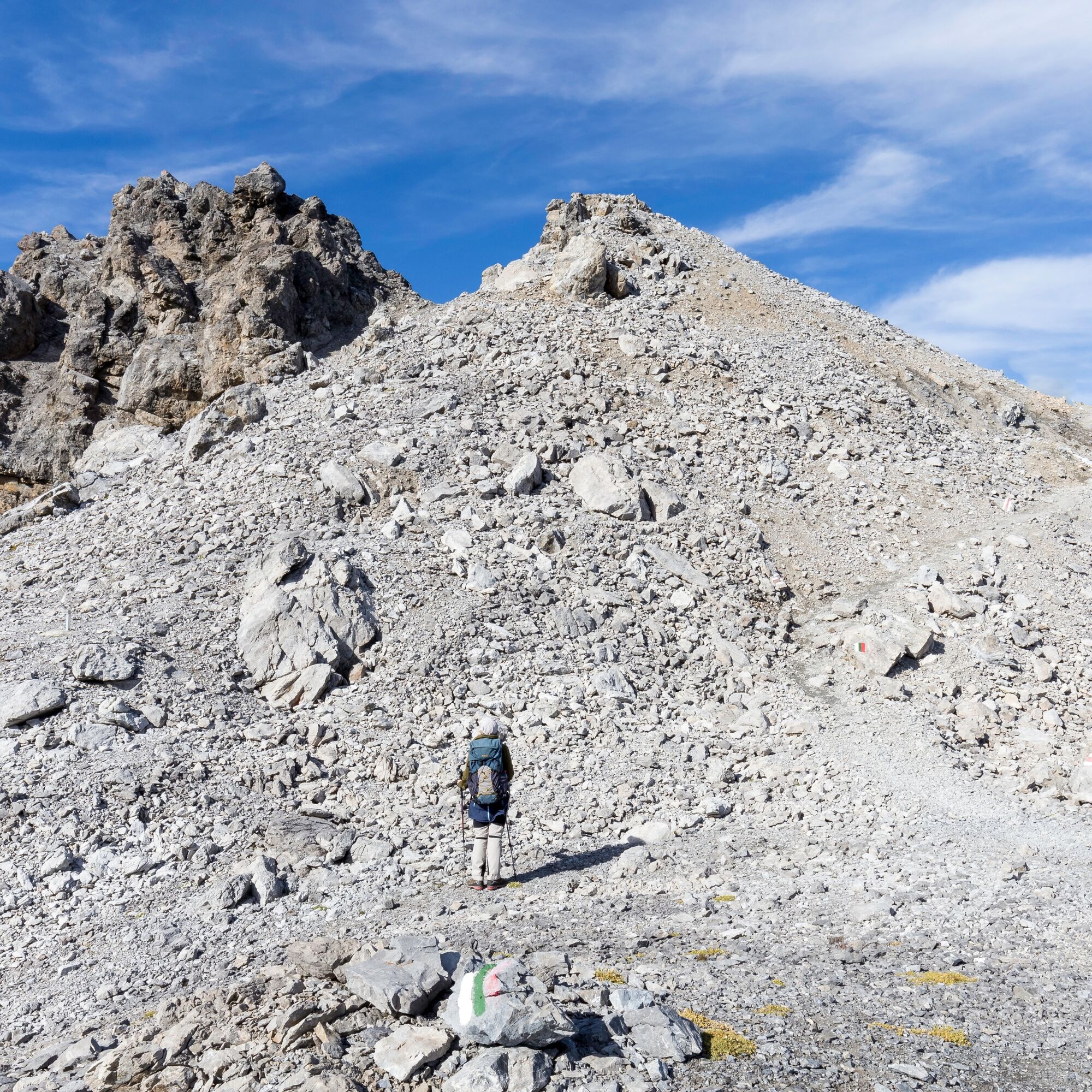

Good footwear, rain and sun protection, trekking poles, water bottle, provisions, first aid kit.
The route was rated under favorable weather conditions; the current weather conditions and forecasts must be strictly observed before starting the hike. In early summer, it is essential to check snow conditions.
Emergency numbers:
144 emergency, first aid
1414 mountain rescue REGA
112 international emergency number
From the north: via Landquart – Klosters by car transport through the Vereina Tunnel (Selfranga - Sagliains) or via the Flüela Pass to Zernez on H27. From Zernez on H28 towards Val Müstair to Sta. Maria. Turn right in Sta. Maria towards Umbrail/Stelvio. Drive on to Umbrail Pass about 20 minutes (winding road).
From the east: via Reschen Pass (Nauders) on SS40 to Mals. From Mals on SS41 to the Swiss border at Müstair. From Müstair on H28 towards Zernez to Sta. Maria. Turn left in Sta. Maria towards Umbrail/Stelvio. Drive on to Umbrail Pass about 20 minutes (winding road).
From the south: via Bolzano and Merano on SS40 to Mals. From Mals on SS41 to the Swiss border at Müstair. From Müstair on H28 to Sta. Maria. Turn right in Sta. Maria towards Umbrail/Stelvio. Drive on to Umbrail Pass about 20 minutes (winding road).
With the Rhaetian Railway (from Chur, Landquart/Prättigau, from the Upper or Lower Engadin) hourly to Zernez
Continue with the PostAuto from Zernez or from Val Müstair and Mals hourly to Sta. Maria.
Change to the PostAuto to Umbrail/Stelvio in Sta. Maria. Reservation essential: www.postauto.ch/de/ausflugstipps/stel...
Parking available at the Umbrail Pass.
Webové kamery z prehliadky


Obľúbené výlety v okolí
-
3,7
Payerhütte 3020m
Turistika 6,98 km -
4,4
Sonnenaufgang auf der Rötelspitze im Nationalpark Stilfserjoch
Turistika 2,02 km -
5,0
Wanderung/Aufstieg zur Payerhütte
svetloTuristika 15,9 km -
5,0
Ortler über Meraner Weg (vom Tal/Trafoi)
ťažkéVysoké turné 11,9 km -
4,5
Ortler – Normalweg
ťažkéVysoké turné 7,30 km -
5,0
Ortler über Hintergrat
ťažkéVysoké turné 8,03 km -
3,5
Watervallen wandeling
svetloTuristika 4,95 km -
3,4
Sta.Maria, Prà da Vau - Lai da Rims - Alp Sot - Prà da Vau
ťažkéTuristika 14,7 km -
4,8
Wanderung: Heilige drei Brunnen zur Berglhütte
svetloTuristika 5,51 km -
1,0
Tabarettahütte 2555m zur Payerhütte 3020m
Turistika 3,82 km
Turistika a stopovanie


Nenechajte si ujsť ponuky a inšpiráciu na ďalšiu dovolenku
Vaša e-mailová adresa bol pridaný do poštového zoznamu.





