



Tschuppina (suitable for strollers)

Úroveň náročnosti: T1
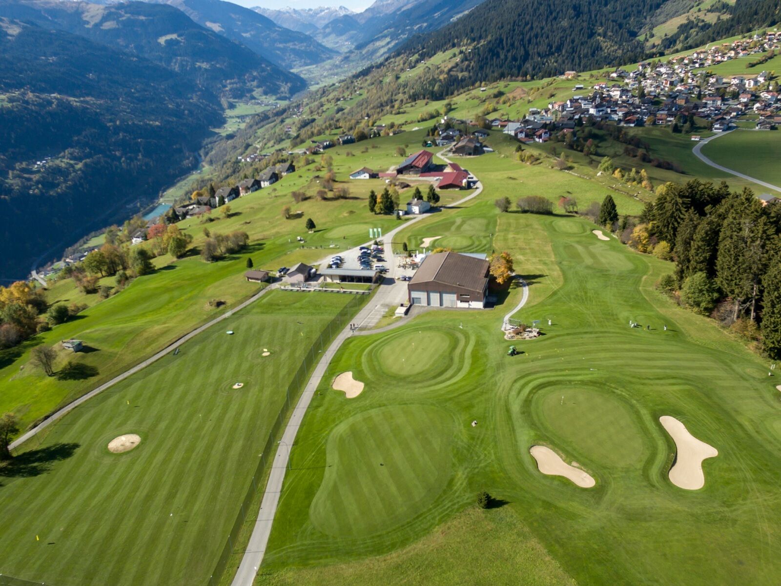
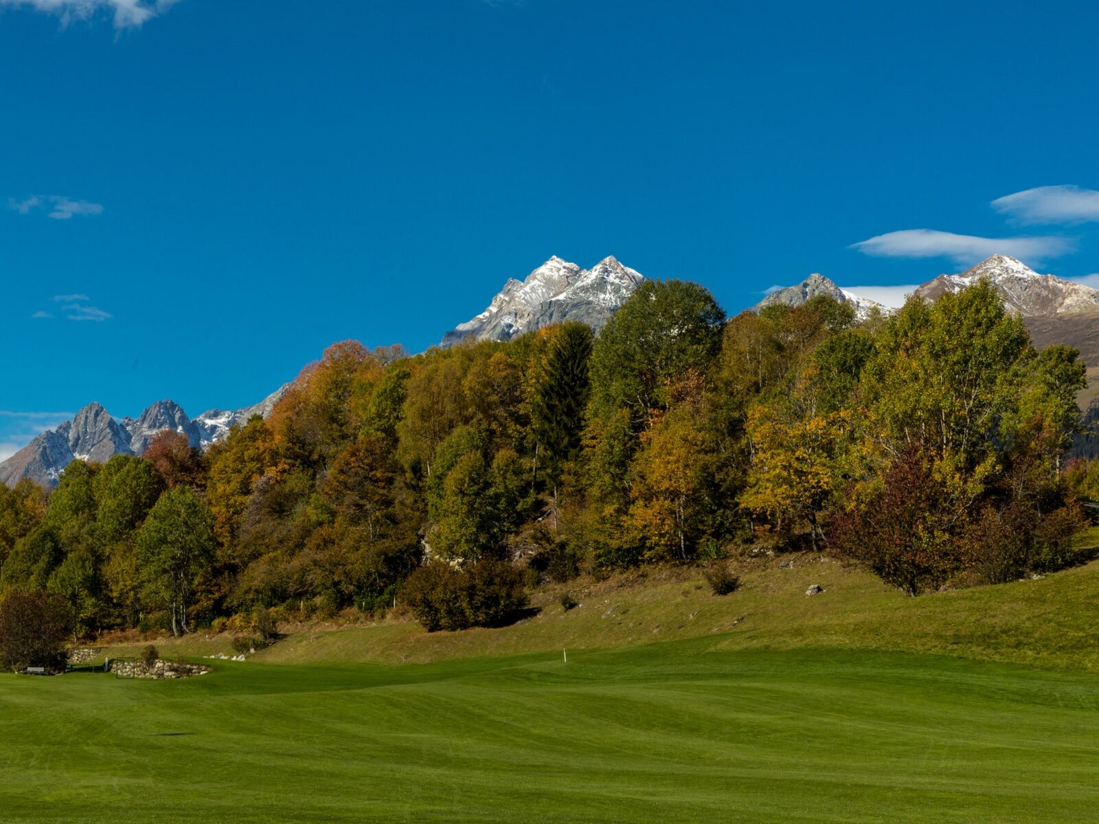
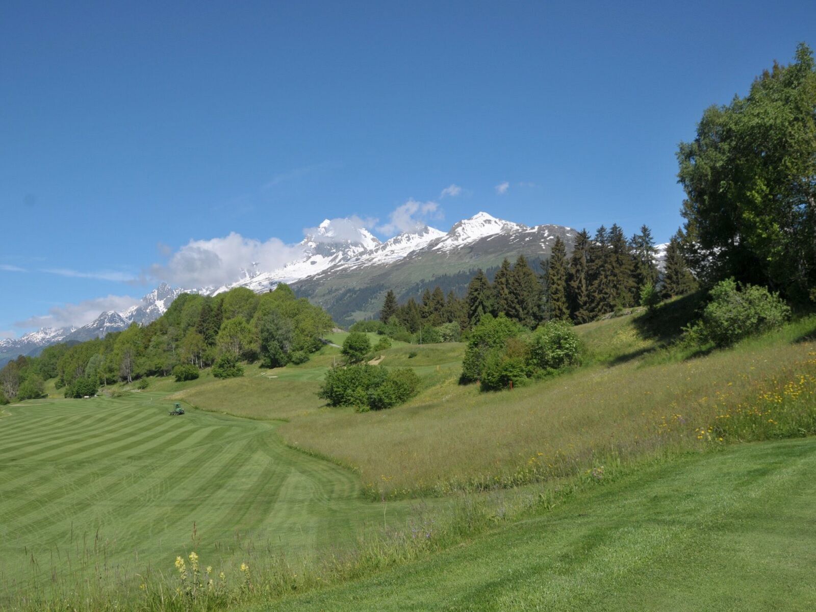
The easy, comfortable circular hike leads from the Brigels Information Office to the Tschuppina high plateau. During the circular hike, you can watch the golfers on the panorama plateau.
The trail markings...
The easy, comfortable circular hike leads from the Brigels Information Office to the Tschuppina high plateau. During the circular hike, you can watch the golfers on the panorama plateau.
The trail markings in the description of this route are based on the 1:25000 hiking map for Brigels, Waltensburg, Andiast. The hiking map is available at the Brigels Information Office, at the Volg stores in Andiast and Waltensburg, and at the Hotel Postigliun in Andiast.
See also Surselva Tourismus AG
Info Brigels
Casa Sentupada
Via Principala 32
CH-7165 Breil/Brigels
Tel.: 0041 81 941 13 31
E-mail: brigels@surselva.info
Internet: www.surselva.info


Brigels (Information Office) - Planezzas - Tschuppina - Planezzas - Brigels
Áno
Áno
Áno
Hiking shoes, weather-appropriate clothing (rain jacket), first aid kit, drink, provisions
T1
Webové kamery z prehliadky

Obľúbené výlety v okolí
-
4,9
Rheinschlucht: From Ilanz to Versam into the heart of the Rheinschlucht
strednáTuristika 11,4 km -
5,0
Kalktrittli - Nüschentäli - Muttsee - Obersee - Muttenchopf - Mörtel - Limmerensee - Kalktrittli (durch Stollen)
strednáTuristika 14,8 km -
5,0
High valley Val Frisal
ťažkéTuristika 12,4 km -
3,8
Circular hike: Falera-Curnius-Alp Dadens-Falera
strednáTuristika 11,4 km -
4,5
Panorama ridge hike: Crap Sogn Gion - Fuorcla - Alp Nagens
strednáTuristika 9,44 km -
5,0
Hiking route Suspension Bridge Val da Tersnaus
strednáTuristika 3,24 km -
4,7
Dutjer Alp - magnificent view
strednáTuristika 8,23 km -
Panoramic route between Piz Mundaun and Péz Sezner
strednáTuristika 6,75 km -
4,5
Trail run: Pigniu - Panixersee - Pigniu
strednáTrailrunning 8,32 km -
5,0
Kistenpasshütte-Breil/Brigels
strednáTuristika 13,7 km
Turistika a stopovanie


Nenechajte si ujsť ponuky a inšpiráciu na ďalšiu dovolenku
Vaša e-mailová adresa bol pridaný do poštového zoznamu.


