



Vella - Davos Munts

Úroveň náročnosti: T1
The hike starts at the PostBus stop Vella, Sumsiaras and leads over a short ascent to the edge of the village in Bual. With Péz Terri always in sight, it goes on a gravel road, without significant incline,...
The hike starts at the PostBus stop Vella, Sumsiaras and leads over a short ascent to the edge of the village in Bual. With Péz Terri always in sight, it goes on a gravel road, without significant incline, into the valley. Along the way, there are about 30 markers with dates of important historical events of the Val Lumnezia. Near the houses of Surval, the path leads right towards the bathing lake Davos Munts.
Along the route, there are several benches to enjoy the wonderful view.


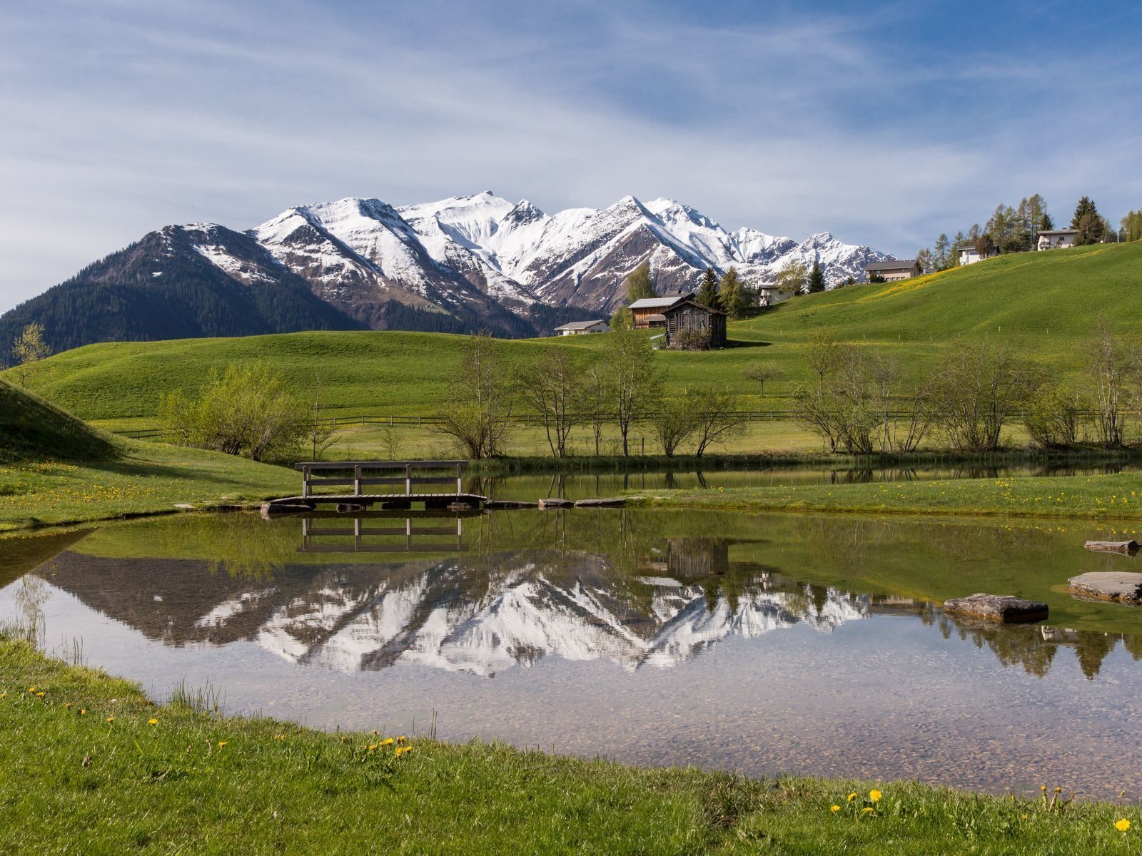
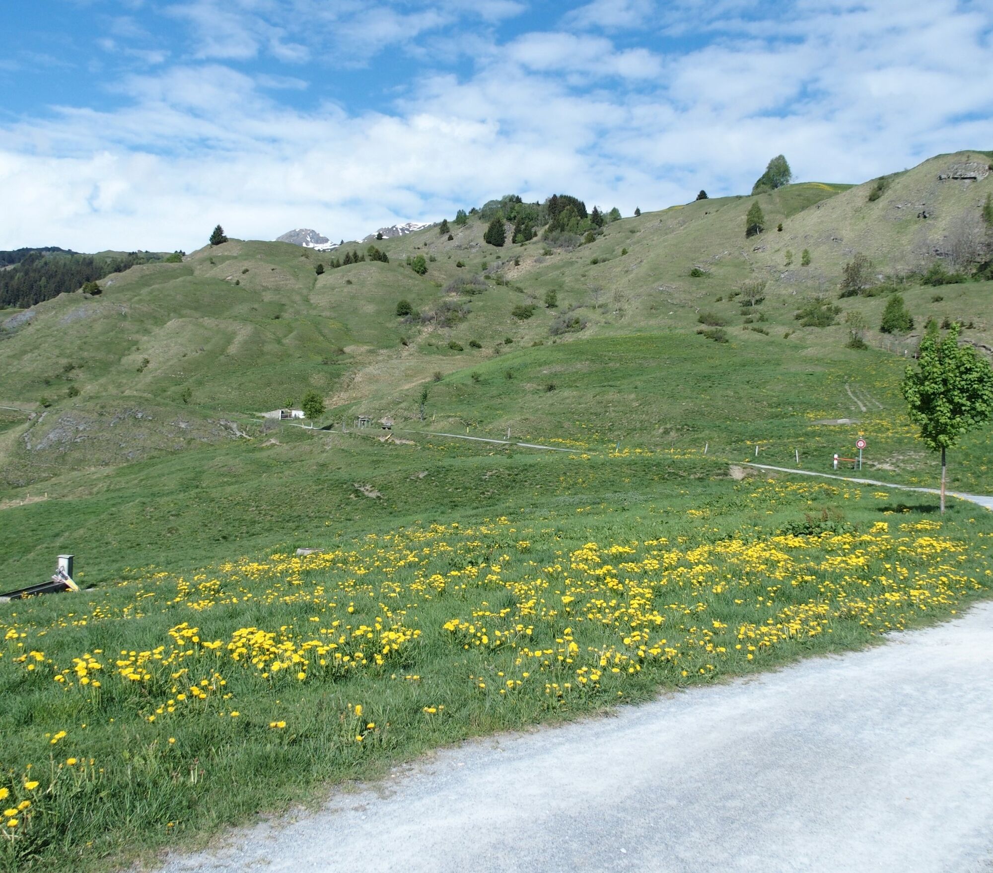
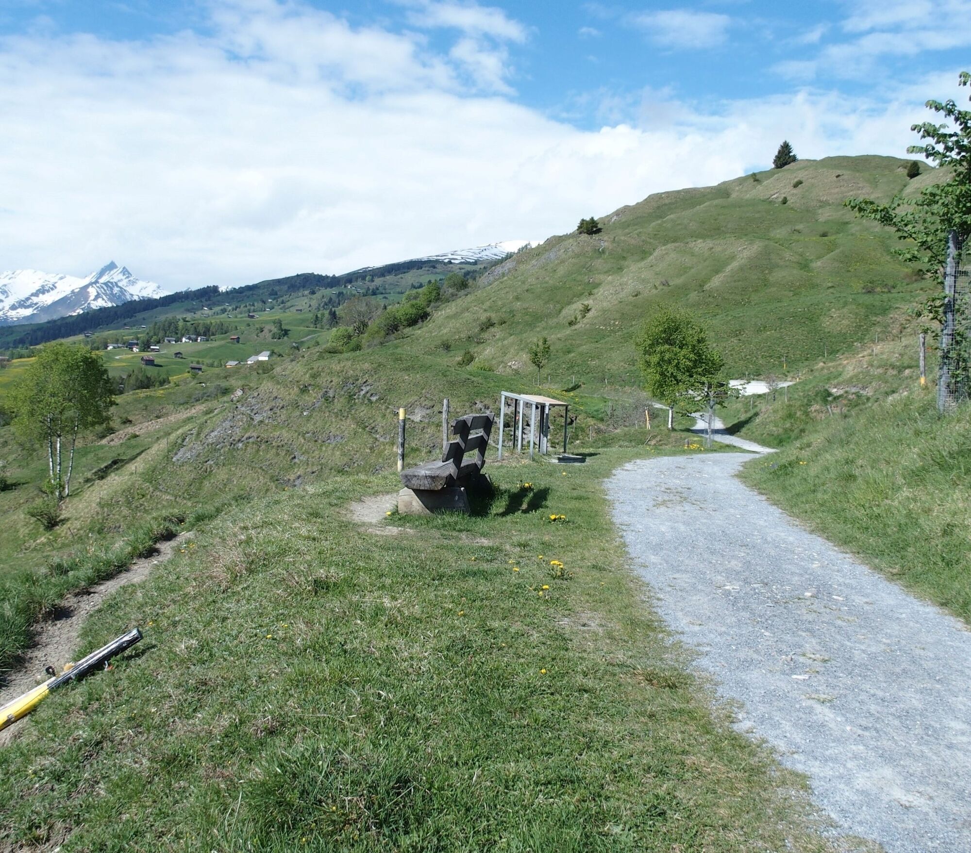
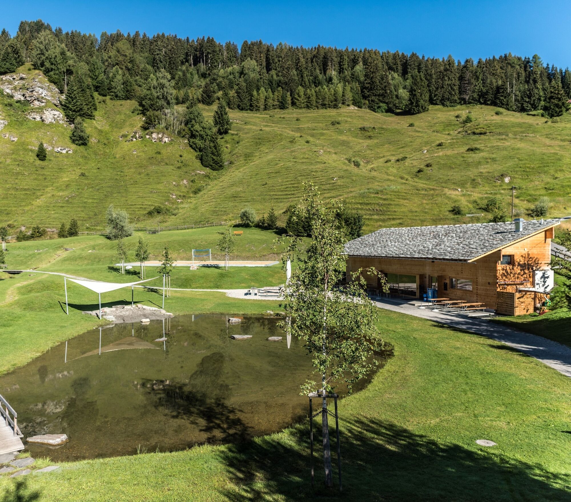
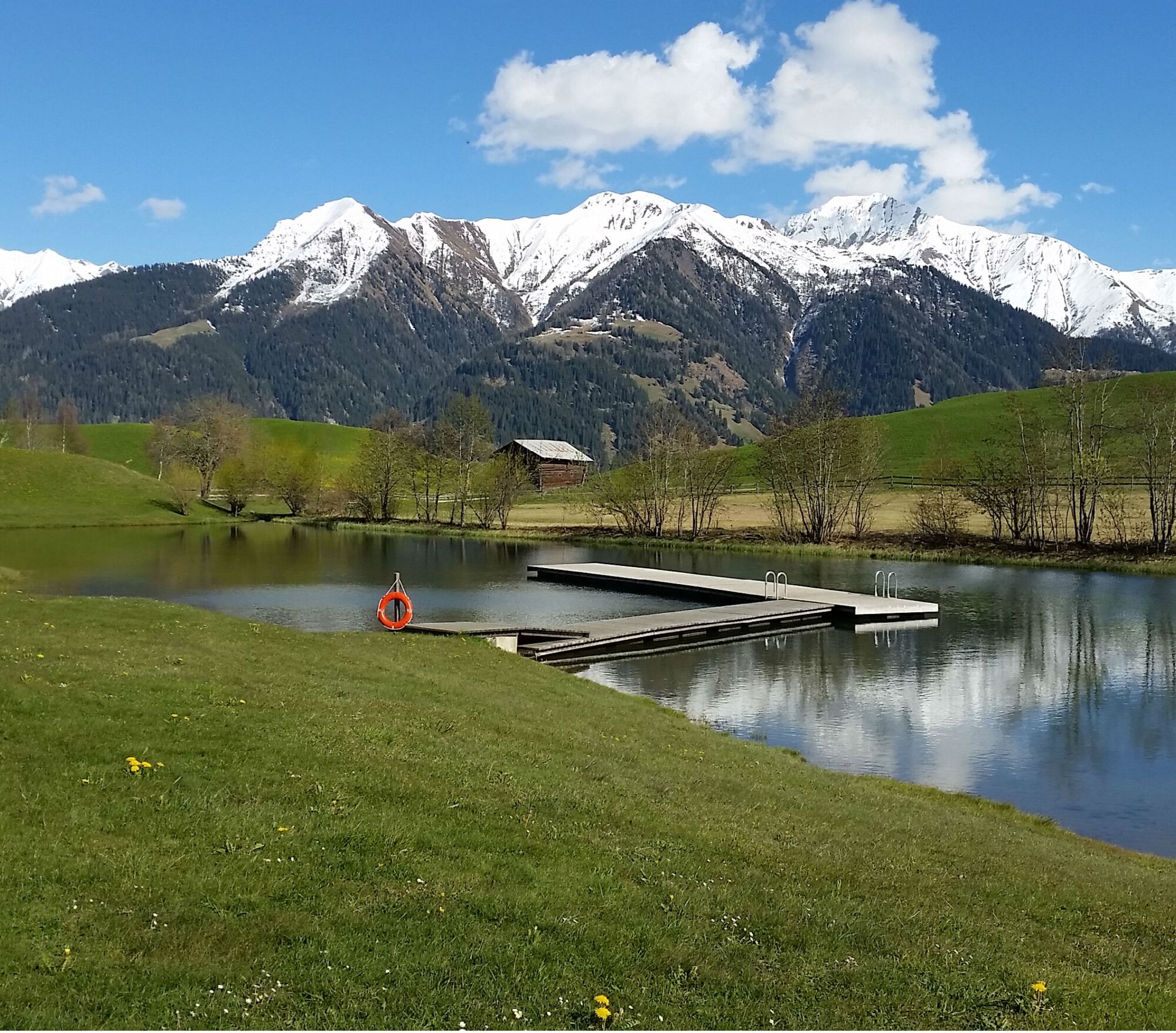

Vella - Vattiz/Surval - Bathing lake Davos Munts
Áno
Áno
Áno
Good shoes with tread, weather-appropriate clothing (rain jacket), first aid kit, drink
In uncertain weather conditions, the route should not be started. Weather changes in the mountains are common. If a rain front or similar develops during the hike, you should turn back in time.
Via Chur A3/A13 via Flims to Ilanz into the Val Lumnezia.
PostBus line 90.441 Ilanz - Vrin, stop Vella
Various public parking lots in Vella, e.g. at the upper edge of the village near the football field.
T1
Bring your swimming gear in summer.

Webové kamery z prehliadky

Obľúbené výlety v okolí
-
4,9
Rheinschlucht: From Ilanz to Versam into the heart of the Rheinschlucht
strednáTuristika 11,4 km -
5,0
High valley Val Frisal
ťažkéTuristika 12,4 km -
3,8
Circular hike: Falera-Curnius-Alp Dadens-Falera
strednáTuristika 11,4 km -
5,0
Rhine Gorge Circular Hike
strednáTuristika 11,4 km -
5,0
Panorama route
svetloTuristika 5,39 km -
5,0
2-day hike Greina high plateau
ťažkéTuristika 15,5 km -
Piz Fess 2880m, the proud one
ťažkéTuristika 12,8 km -
5,0
Hiking route Suspension Bridge Val da Tersnaus
strednáTuristika 3,24 km -
4,7
Dutjer Alp - magnificent view
strednáTuristika 8,23 km -
Rhine Gorge/Ruinaulta: Ilanz - Reichenau
strednáTuristika 21,2 km
Turistika a stopovanie


Nenechajte si ujsť ponuky a inšpiráciu na ďalšiu dovolenku
Vaša e-mailová adresa bol pridaný do poštového zoznamu.


