


Meierhof - Puntstag - Sassli - Kartitscha - Meierhof
Úroveň náročnosti: T2
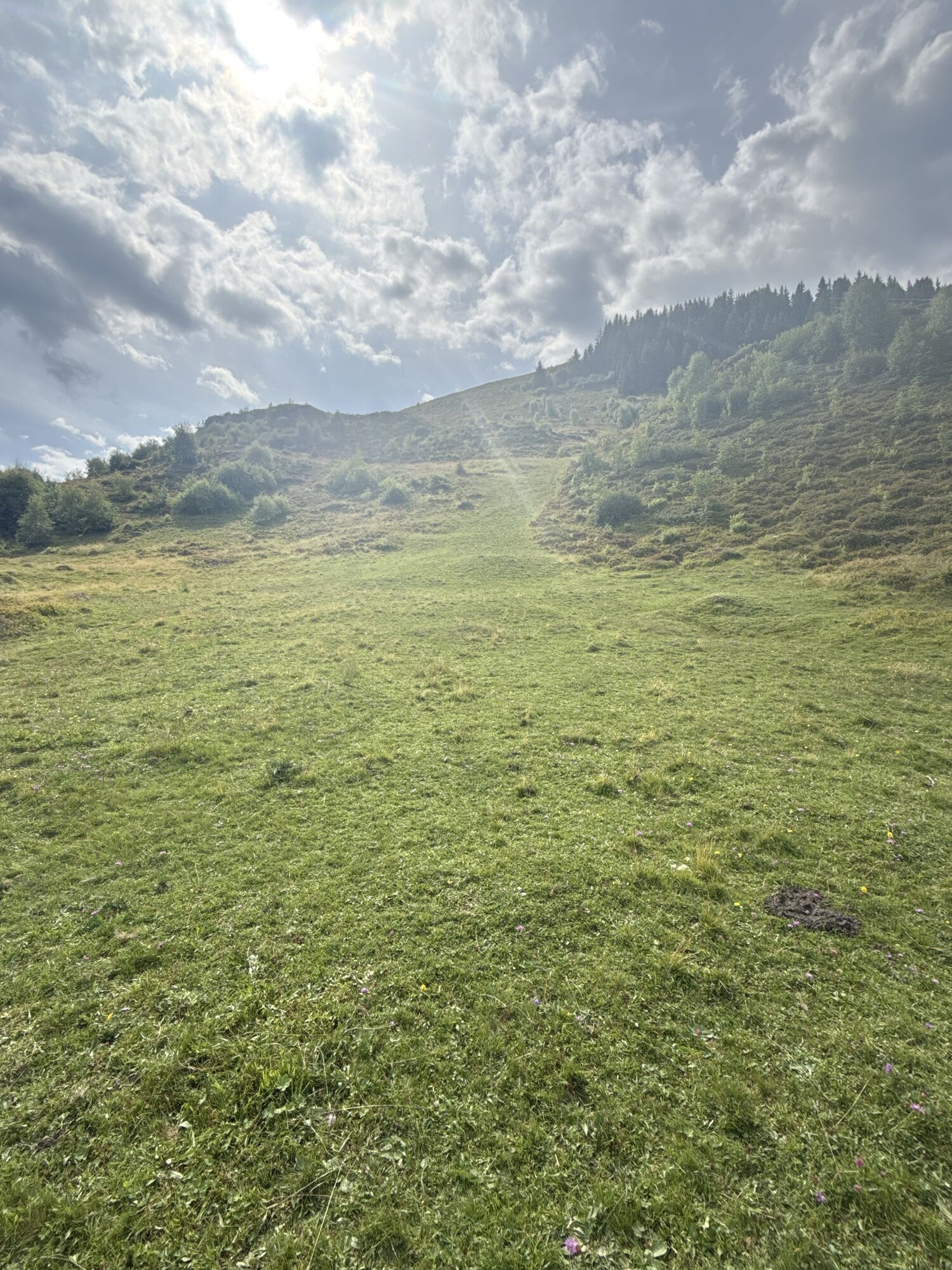
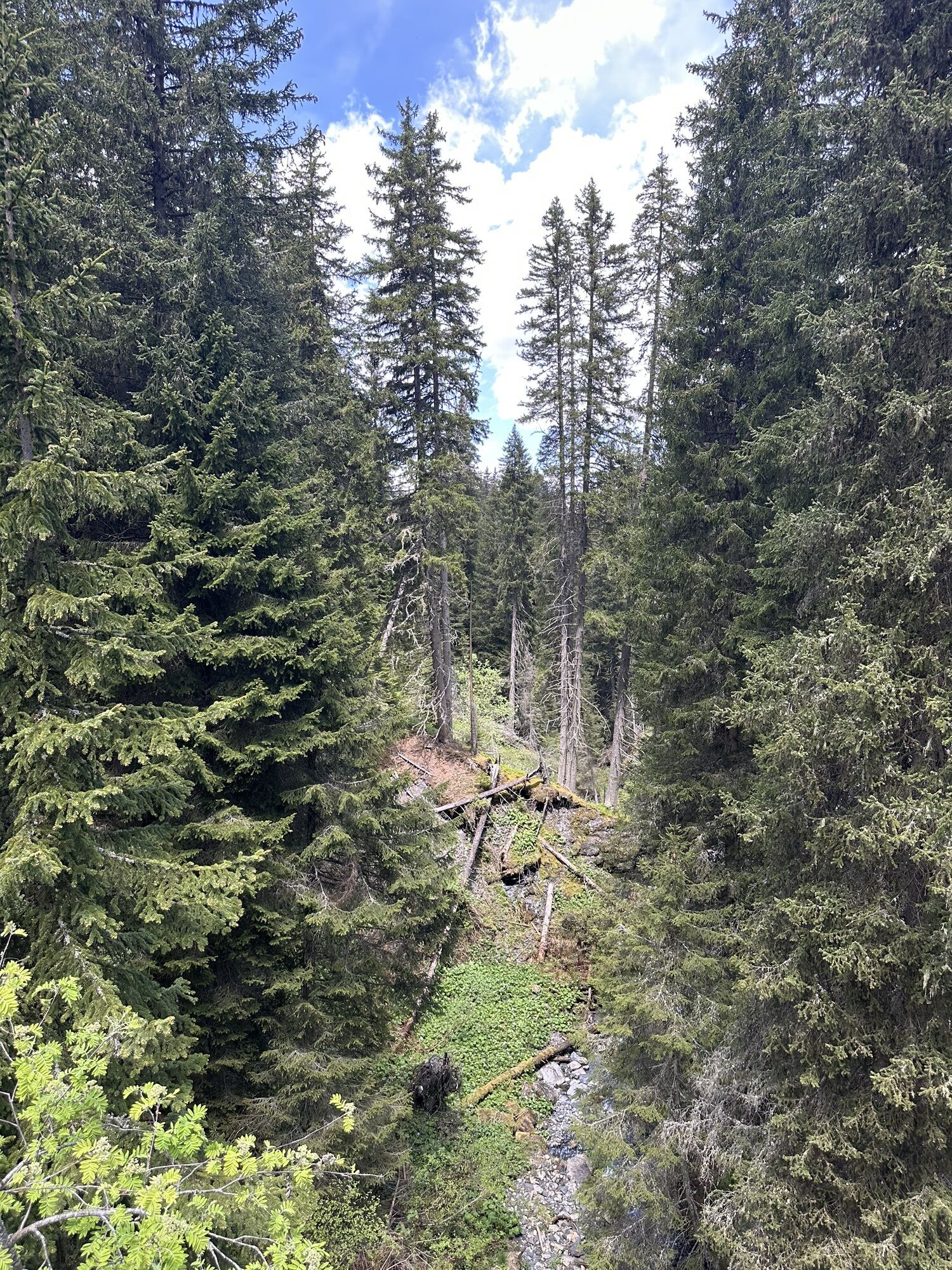
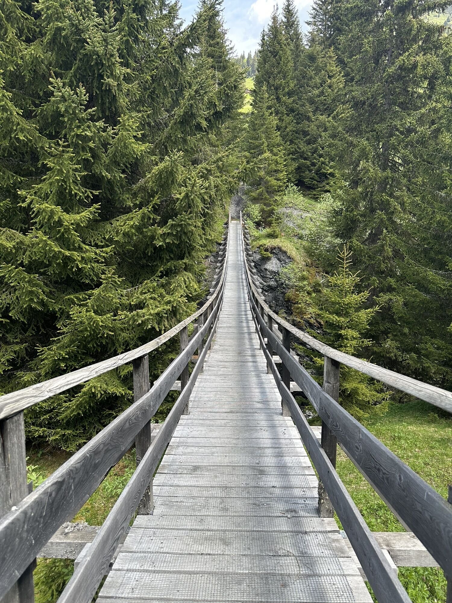
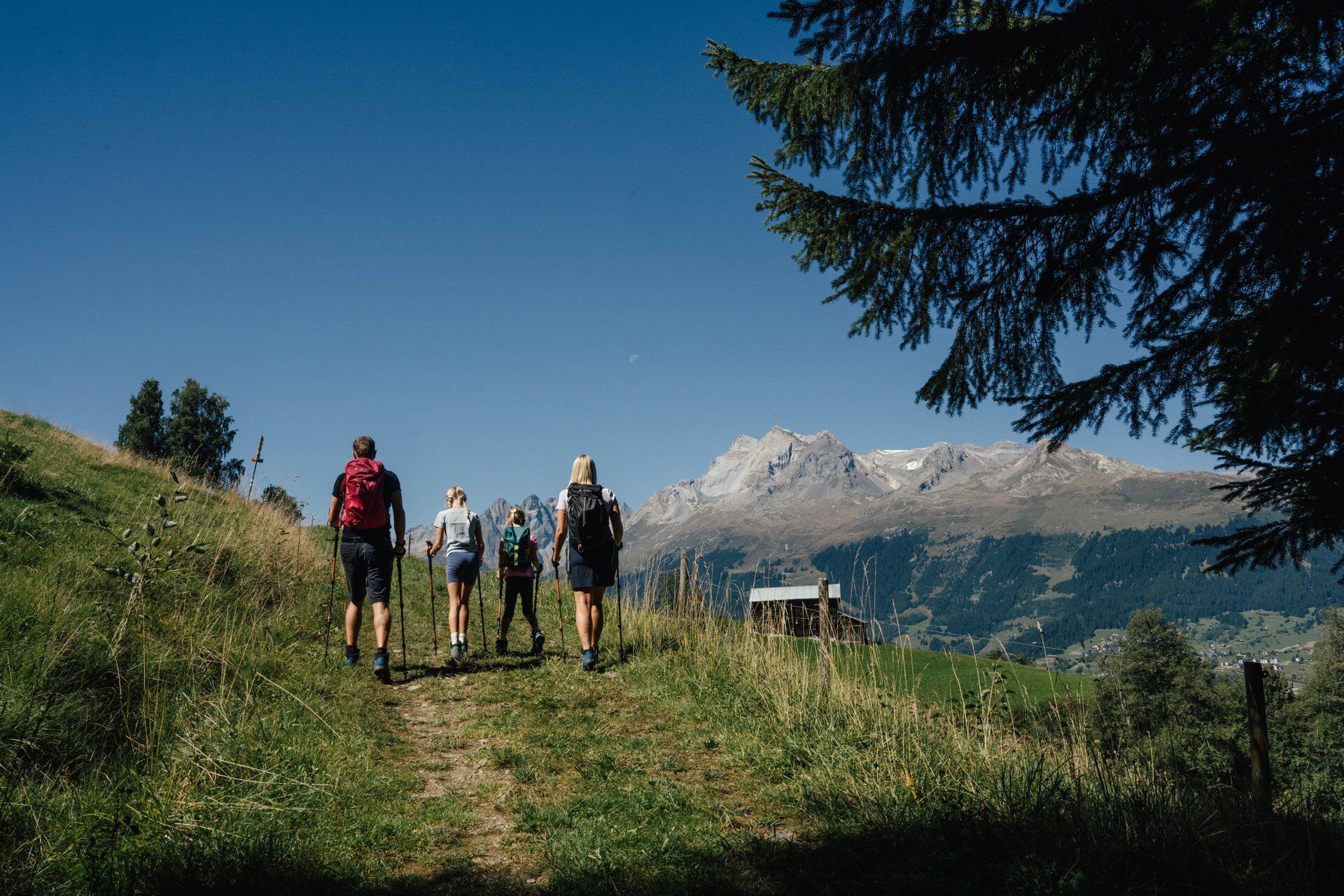
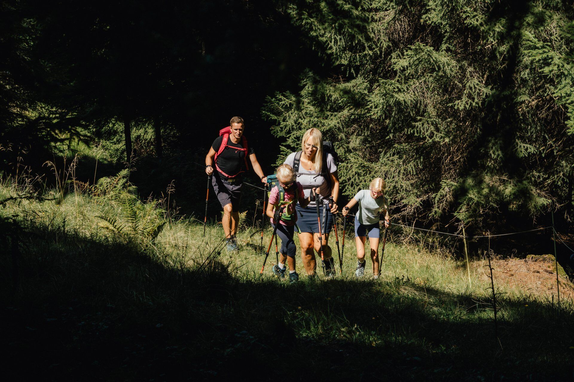
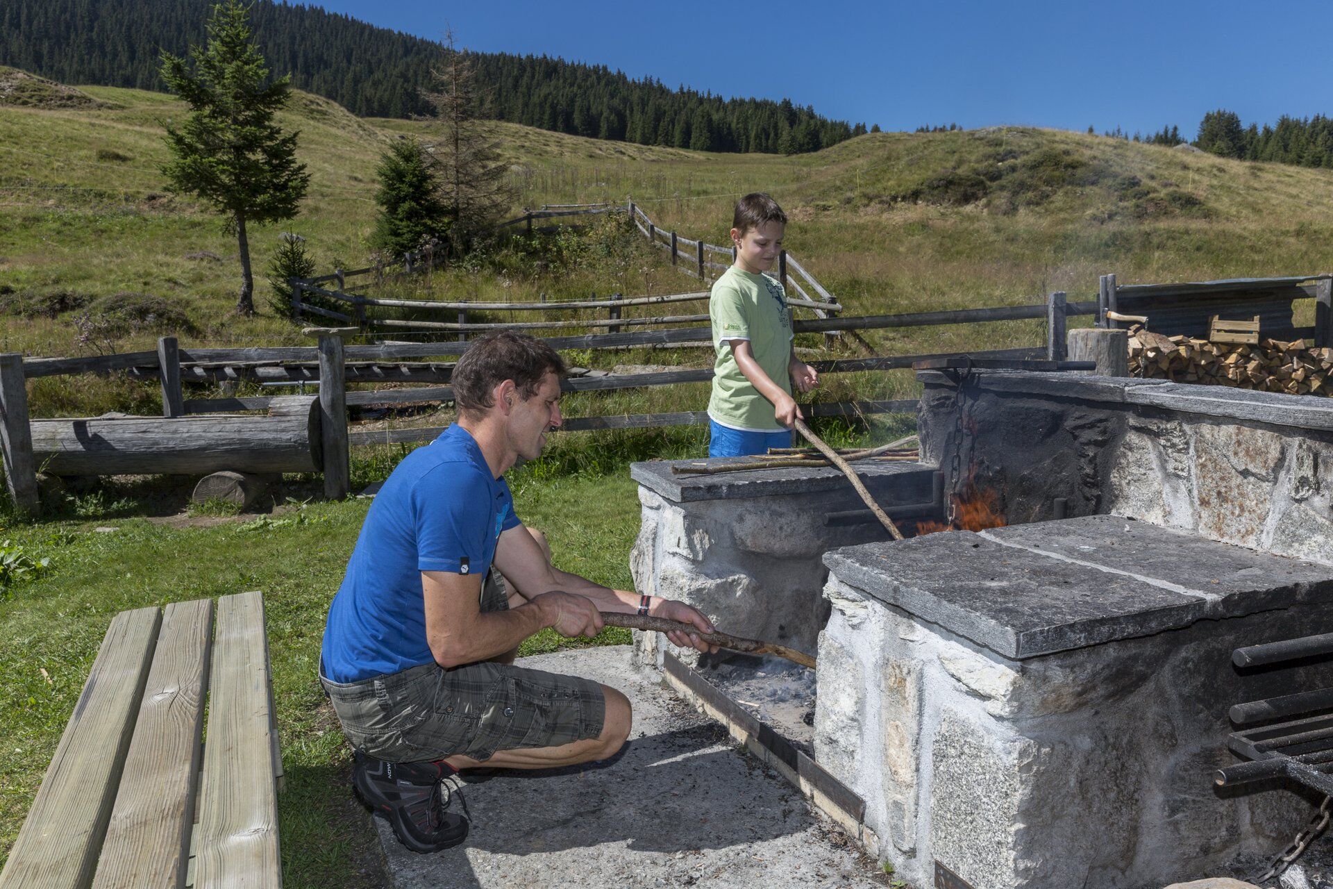
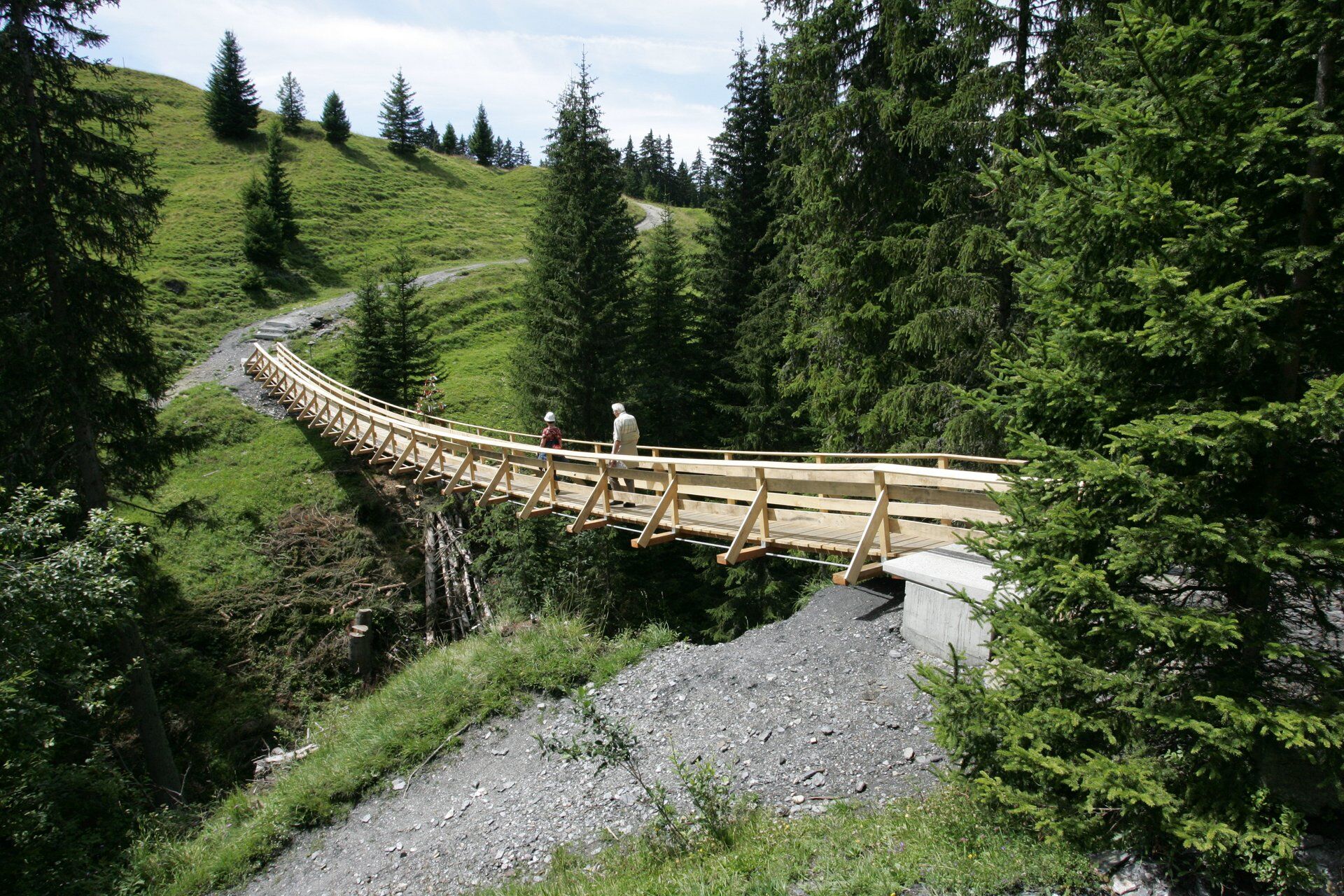
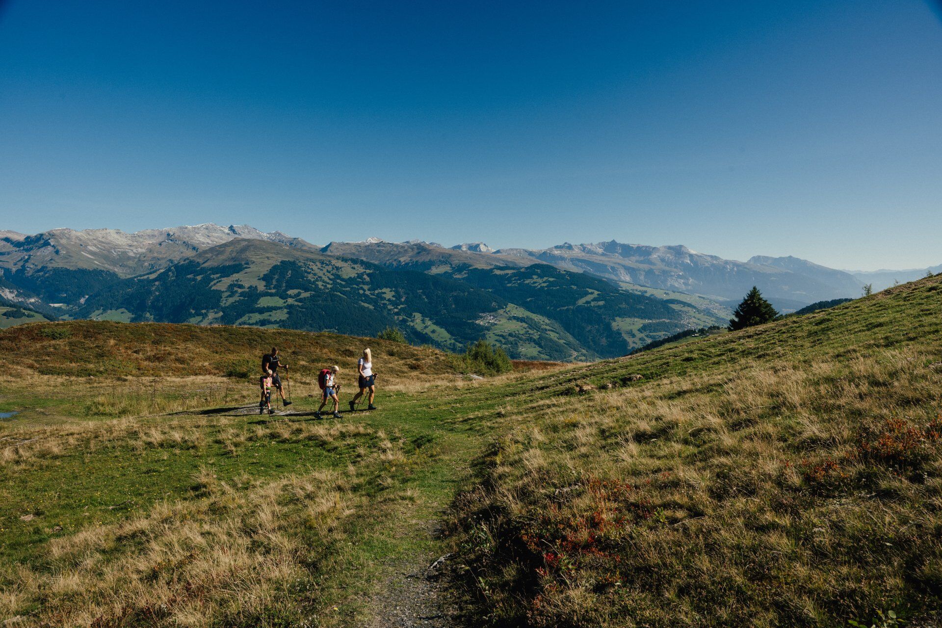
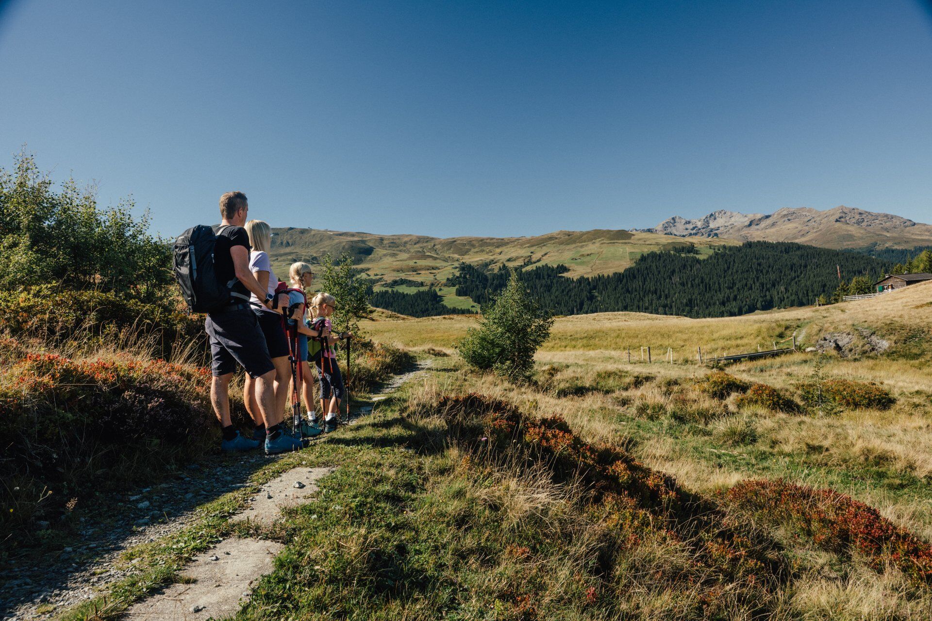
Starting in Meierhof, the route leads towards Puntstagg. The shady forest makes the ascent to the Sassli barbecue area easier. It's a good place to take a break. The short hike takes us over the suspension...
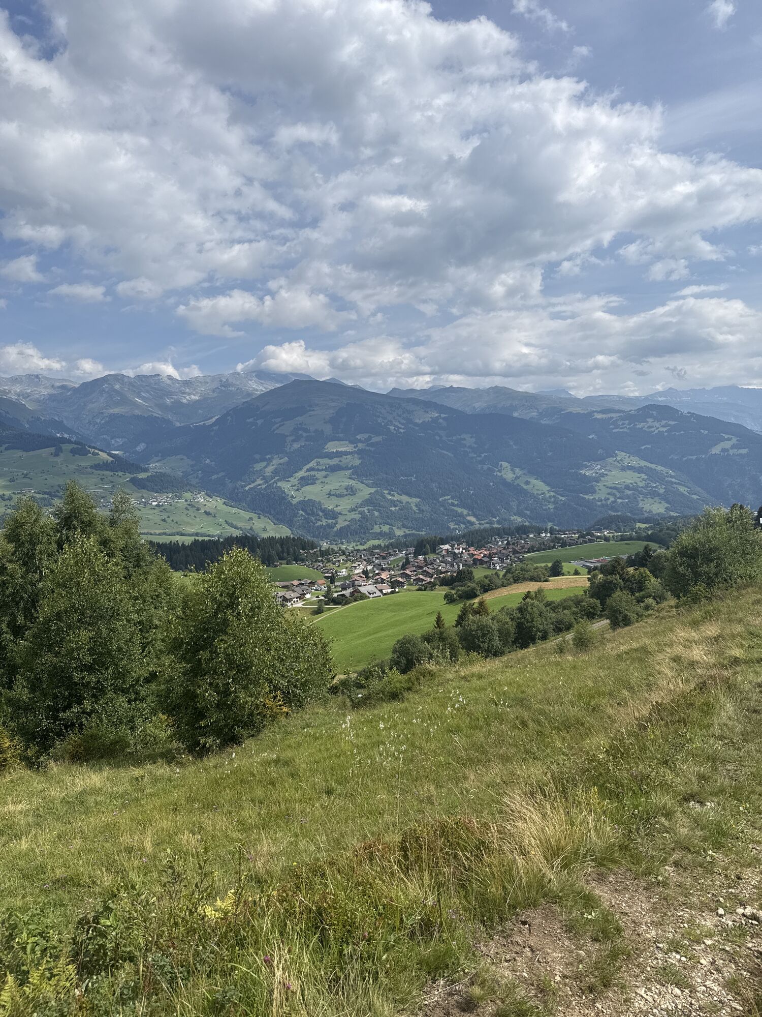
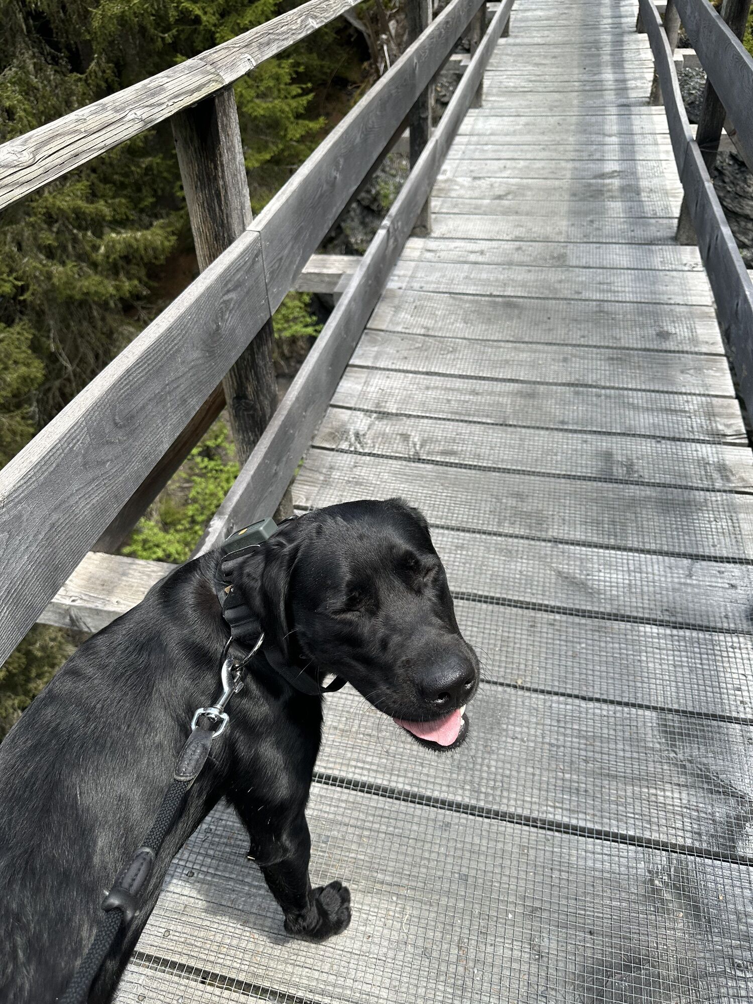
Starting in Meierhof, the route leads towards Puntstagg. The shady forest makes the ascent to the Sassli barbecue area easier. It's a good place to take a break. The short hike takes us over the suspension bridge at Imschlacht and upwards towards Kartitscha – one of the central points in the Obersaxen Mundaun ski area. However, we do not go all the way up there but continue along the Walserweg via the panorama point and later the Plampord barbecue area back to Meierhof.

Meierhof - Puntstagg - Sassli - Kartitscha - Meierhof
Áno
Good hiking shoes with a solid tread, weather-appropriate clothing (rain jacket), possibly a change of clothes, first aid kit, drink, food, possibly hiking poles.
The route should not be undertaken in uncertain weather conditions. Weather changes are common in the mountains. If a rain front or similar develops during the hike, you should turn back in time.
From Ilanz to Obersaxen Meierhof
By post bus from Ilanz to Obersaxen Meierhof
Parking options in Obersaxen Meierhof, opposite the tourism office or at the valley station of the cable cars.
T2
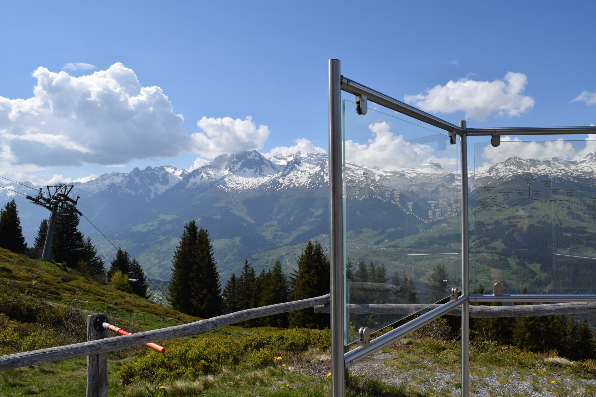
With the help of the panorama board at Plampord, you can learn the names of the surrounding mountain peaks.
Obľúbené výlety v okolí
-
4,8
Rheinschlucht: From Ilanz to Versam into the heart of the Rheinschlucht
strednáTuristika 11,4 km -
5,0
High valley Val Frisal
ťažkéTuristika 12,4 km -
4,3
Circular hike: Falera-Curnius-Alp Dadens-Falera
strednáTuristika 11,4 km -
5,0
Kalktrittli - Nüschentäli - Muttsee - Obersee - Muttenchopf - Mörtel - Limmerensee - Kalktrittli (durch Stollen)
strednáTuristika 14,8 km -
4,7
Dutjer Alp - magnificent view
strednáTuristika 8,23 km -
5,0
Hiking route Suspension Bridge Val da Tersnaus
strednáTuristika 3,24 km -
Panorama ridge hike: Crap Sogn Gion - Fuorcla - Alp Nagens
strednáTuristika 9,44 km -
4,6
Trail run: Pigniu - Panixersee - Pigniu
strednáTrailrunning 8,32 km -
Lag Serein: A large circular hike from S. Benedetg
strednáTuristika 13,4 km -
Panoramic route between Piz Mundaun and Péz Sezner
strednáTuristika 6,75 km
Turistika a stopovanie


Nenechajte si ujsť ponuky a inšpiráciu na ďalšiu dovolenku
Vaša e-mailová adresa bol pridaný do poštového zoznamu.