



Diavolezza-Sass Queder

Úroveň náročnosti: 2


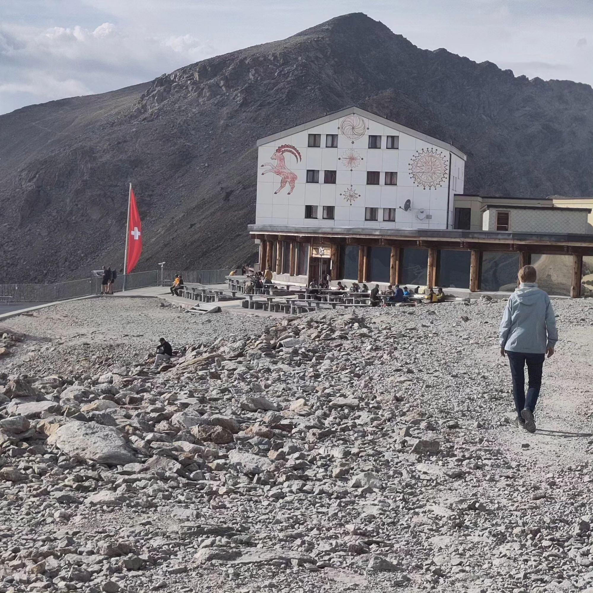
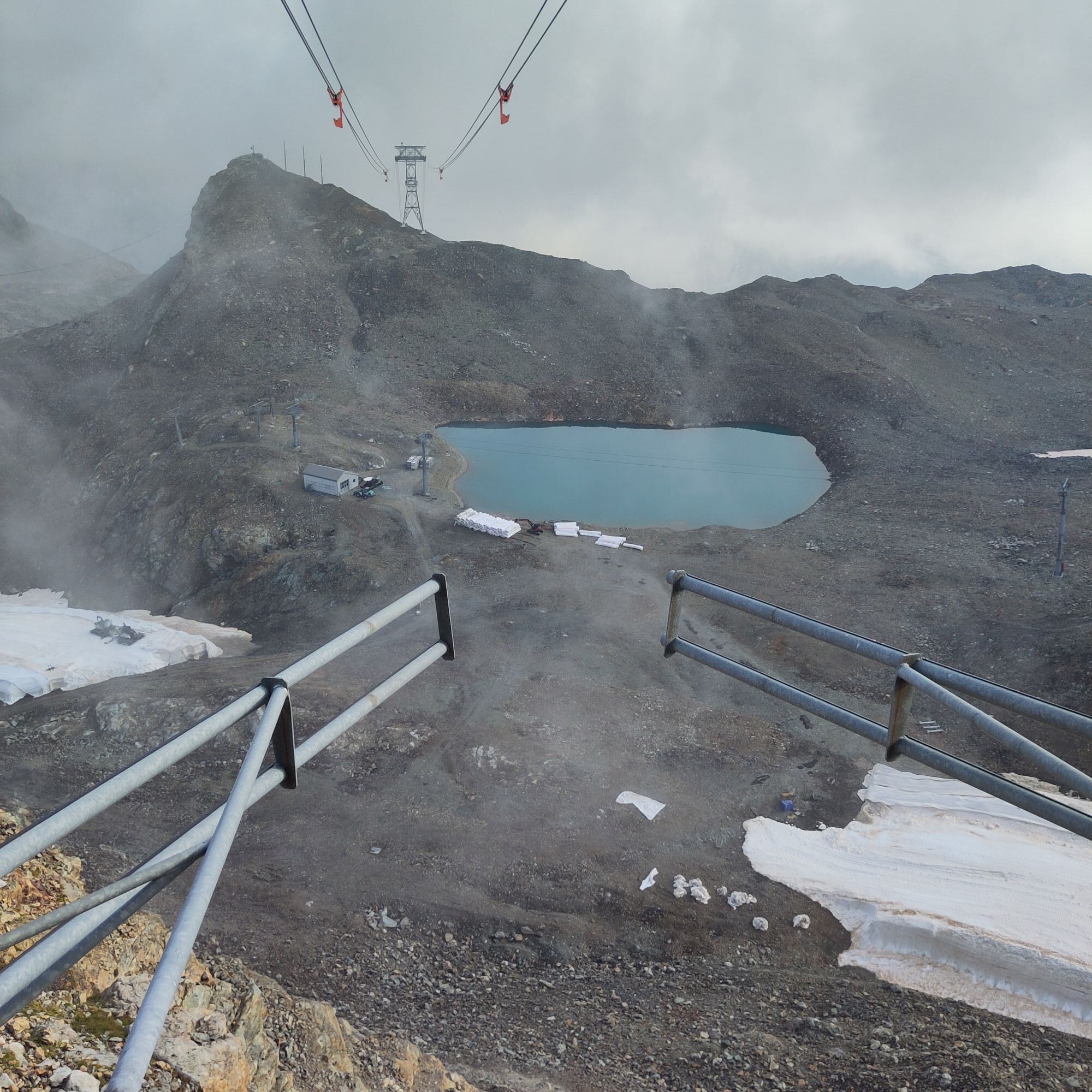
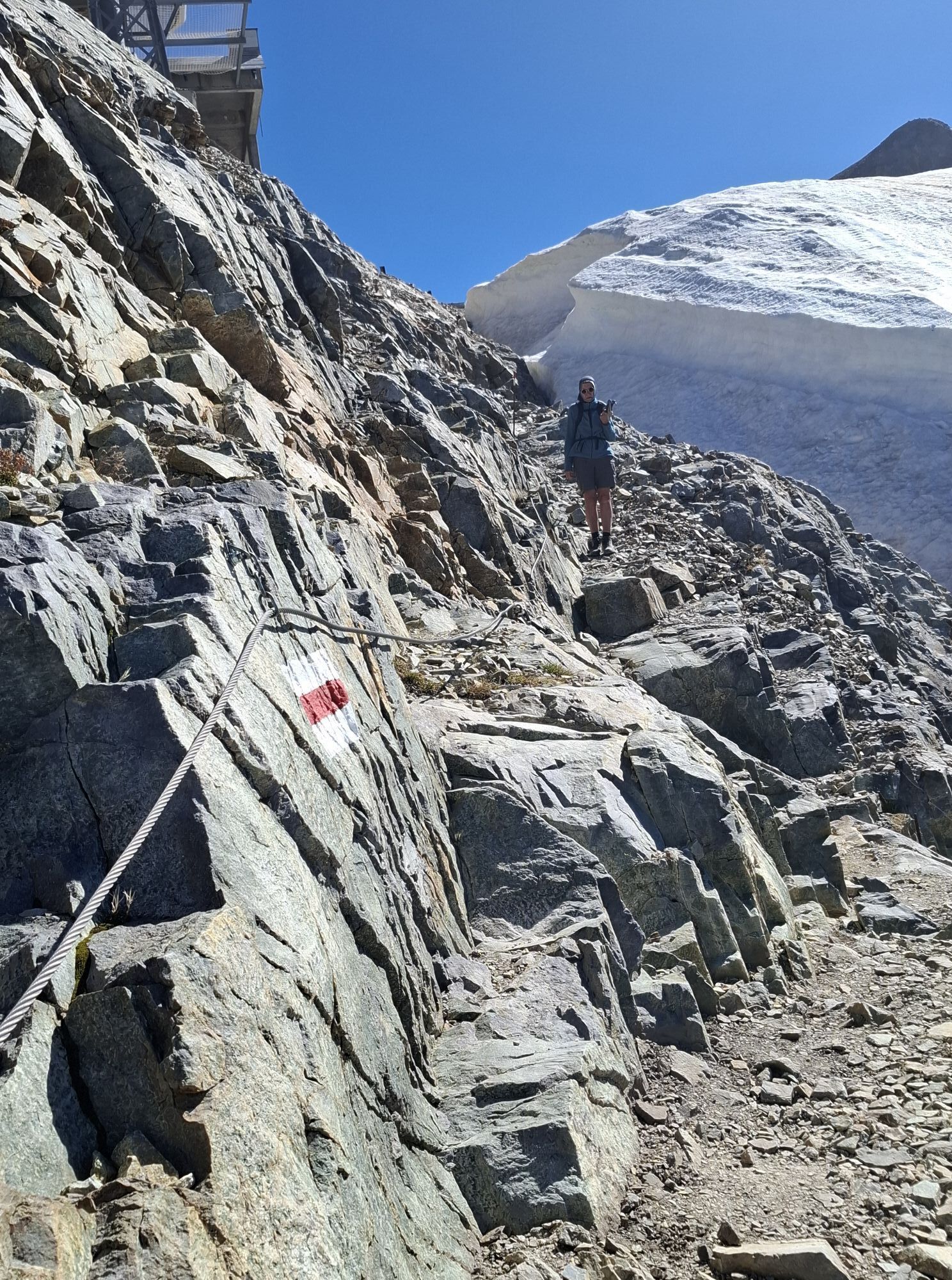
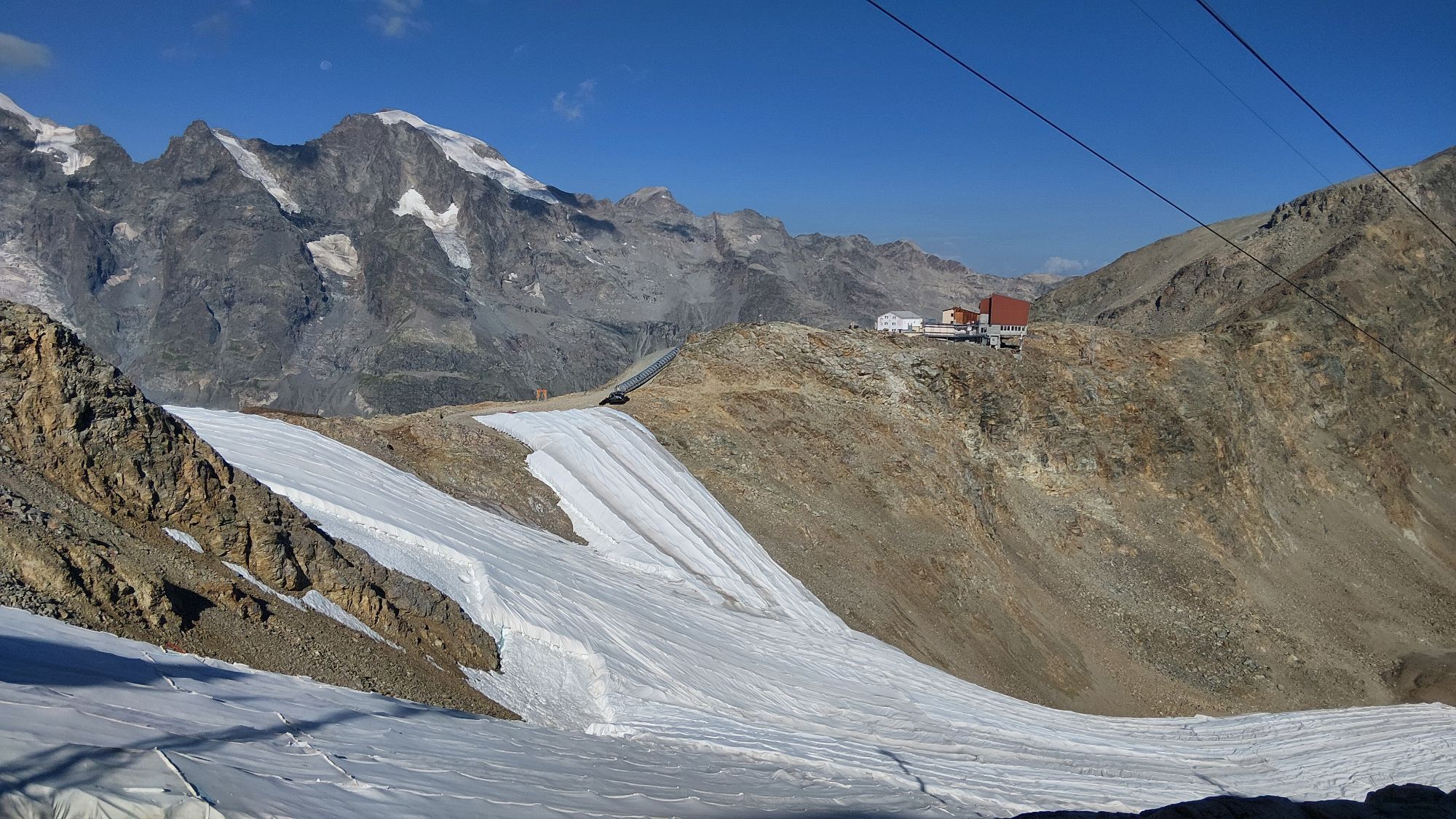
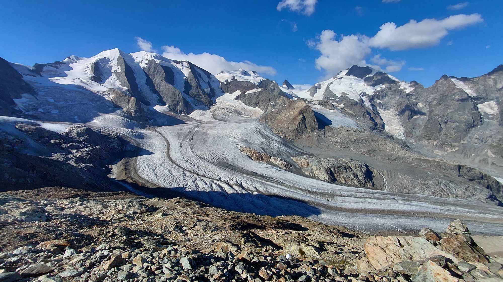


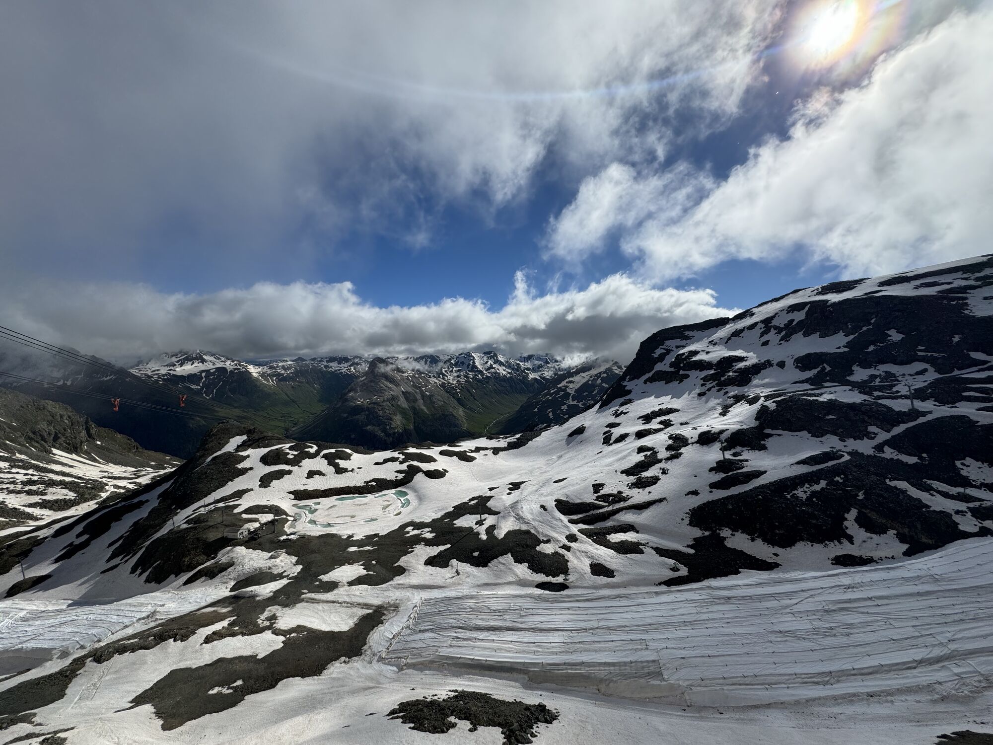

Pink markings indicate the path from the Diavolezza mountain house a few meters along the ski slope, past Piz Trovat with its summer via ferrata and to the mountain station of the glacier chairlift. After...
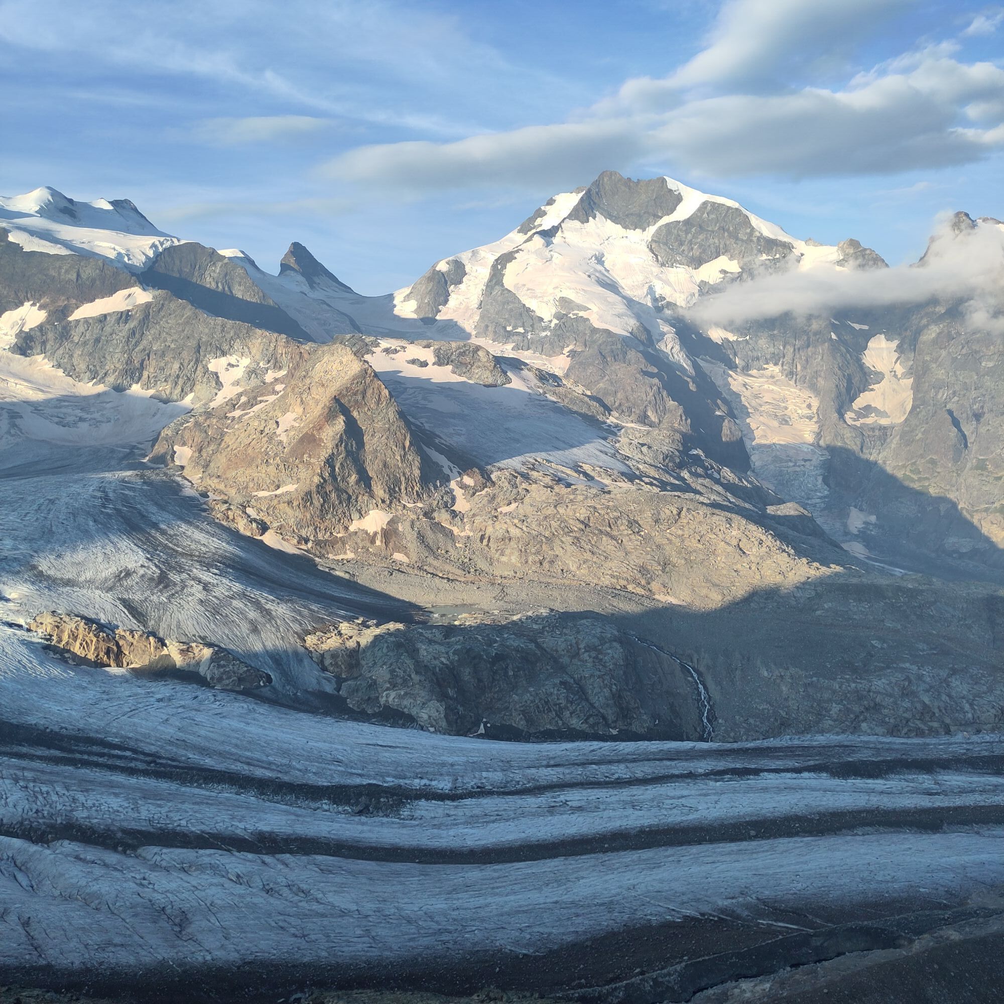
Pink markings indicate the path from the Diavolezza mountain house a few meters along the ski slope, past Piz Trovat with its summer via ferrata and to the mountain station of the glacier chairlift. After about thirty to forty minutes uphill, piled-up cairns greet the hikers. And almost more than the ascent, the view takes your breath away: The magnificent panoramic view reaches deep into the Austrian Alps and lingers on prominent peaks such as Piz Kesch and Piz Linard. Among the Italian peaks, the Ortler stands out in particular, while the famous Piz Palü and Piz Bernina spread out behind you.
Good mountain shoes are a prerequisite for the path, which is only prepared with shovels.
Further information
Engadin Tourism AG
Via Maistra 1
CH-7500 St. Moritz
Phone: +41 81 830 00 01
E-mail: allegra@engadin.ch
Internet: www.engadin.ch
Condition of winter hiking trails: www.engadin.ch/de/pisten-loipen-wege/winterwanderwege/



Diavolezza - Sass Queder - Diavolezza
Áno
Áno
Check in advance whether the path is open.
By RhB or Engadin Bus to the Diavolezza valley station, then by cable car up to Diavolezza
Large parking lot at the valley station of the Diavolezza cable car
2
Only worth it in good weather.
Webové kamery z prehliadky
-
Berninapass
-
Diavolezza Bergstation
-
Diavolezza Bergstation
-
Diavolezza Bergstation
-
Diavolezza Bergstation
-
Diavolezza Bergstation
-
Diavolezza Bergstation
-
Diavolezza Bergstation
-
Diavolezza Bergstation
-
Bergstation Lagalb
-
Bergstation Lagalb
-
Bergstation Lagalb
-
Bergstation Lagalb
-
Bergstation Lagalb
-
Bergstation Lagalb

Obľúbené výlety v okolí
-
5,0
Morteratsch station - Boval Hut
strednáTuristika 10,5 km -
4,8
Panoramic route Muottas Muragl
svetloTuristika 6,75 km -
4,7
Diavolezza - Munt Pers
svetloHorská turistika 3,82 km -
5,0
Mountain hike to Lagh da Saoseo
ťažkéTuristika 15,0 km -
5,0
Muottas Muragl - Segantini hut - Pontresina
strednáTuristika 6,46 km -
4,8
Morteratsch Glacier route
svetloTematická trasa 2,88 km -
4,5
Pontresina - Val Roseg - Pontresina
svetloTuristika 13,8 km -
4,8
Alp Languard - Segantini Hut - Muottas Muragl
strednáTrailrunning 6,45 km -
4,8
SAC Tschierva
svetloTuristika 24,7 km -
4,8
Lagalb - Val Minor - Motta Bianca - Lagalb
strednáTuristika 9,80 km
Turistika a stopovanie


Nenechajte si ujsť ponuky a inšpiráciu na ďalšiu dovolenku
Vaša e-mailová adresa bol pridaný do poštového zoznamu.


