


Winter hiking: Sumvitg - Runs - Rabius
Úroveň náročnosti: 1
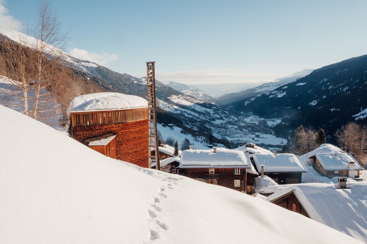
The hiking route can be started from Sumvitg or from Rabius (village exit west towards Sumvitg).
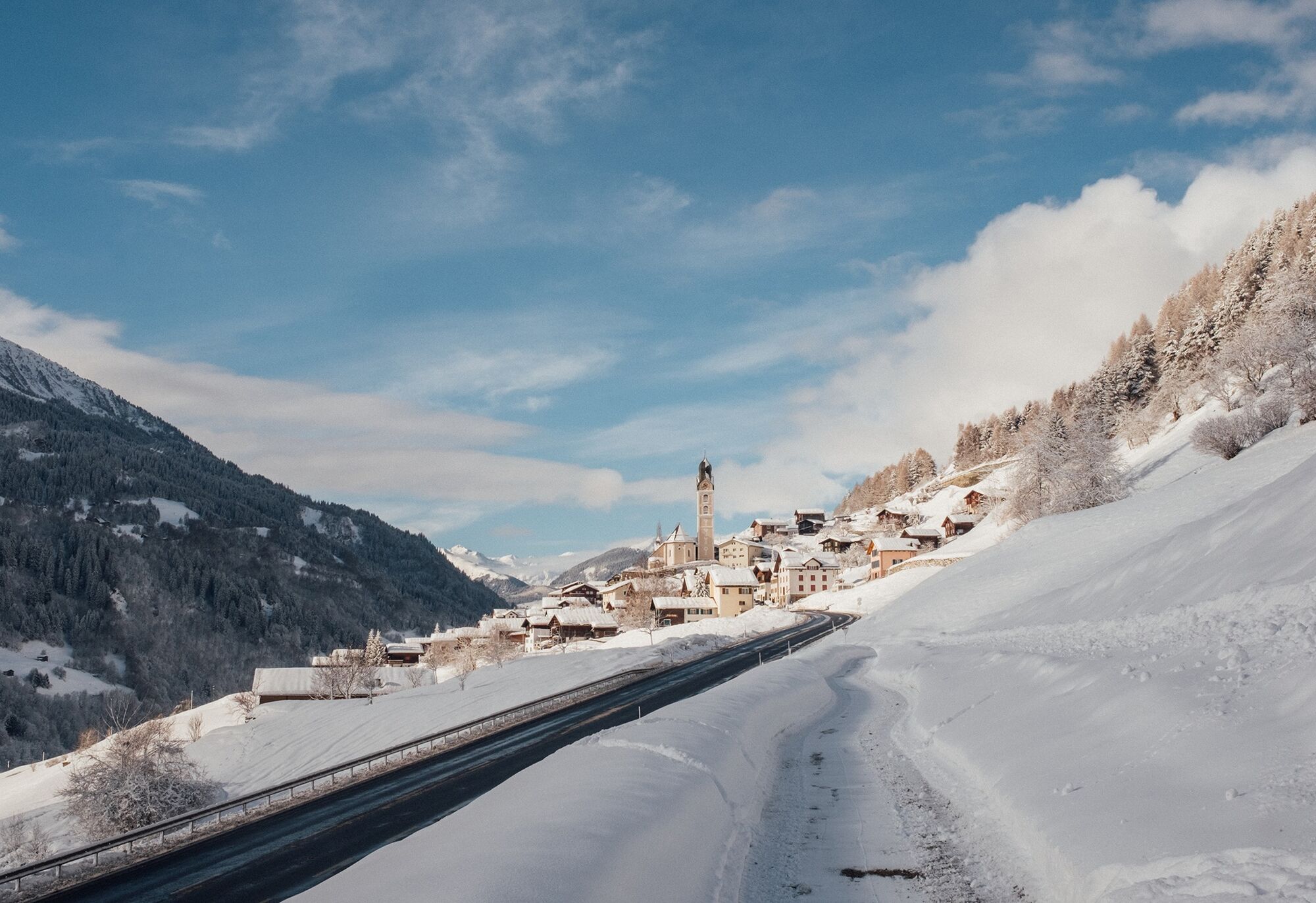
From here you have a slightly different view of Sumvitg with its imposing St. John the Baptist church (to...
The hiking route can be started from Sumvitg or from Rabius (village exit west towards Sumvitg).
From here you have a slightly different view of Sumvitg with its imposing St. John the Baptist church (to the north) and to the south towards the Surrein plain, where you can watch the agile cross-country skiers.
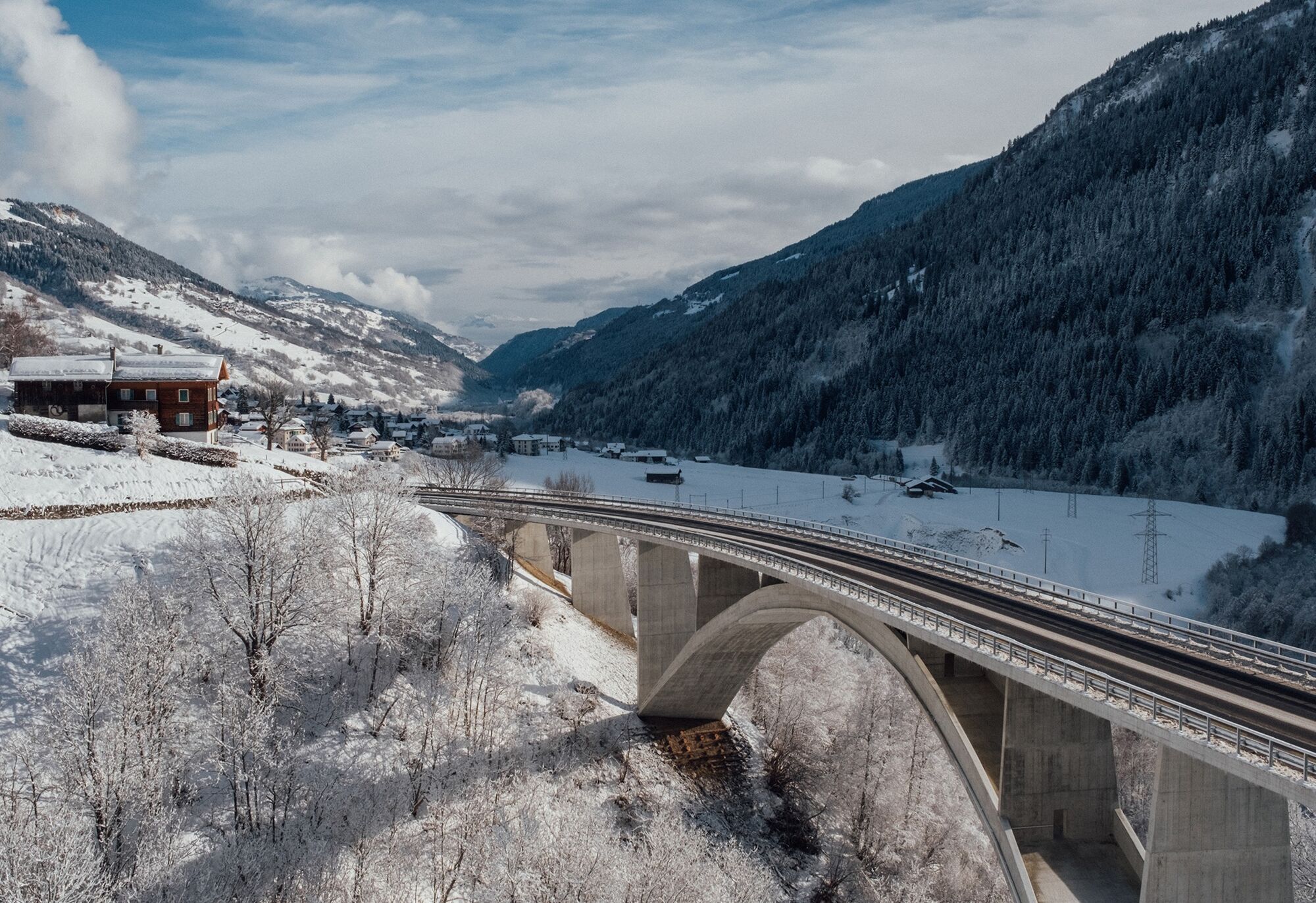
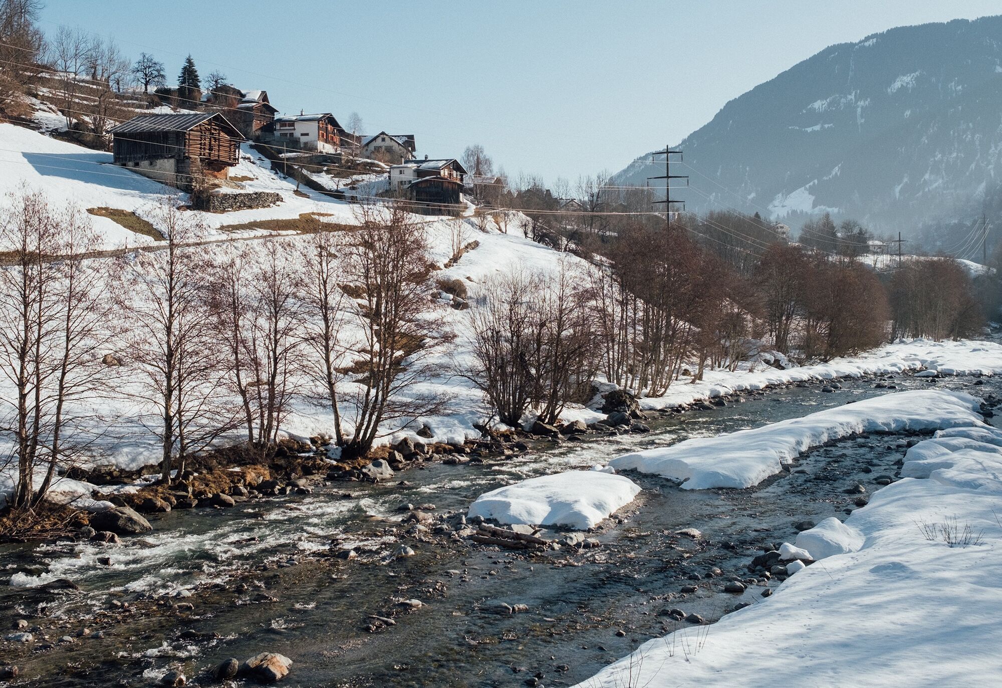
The route lies on the sunny slope and partly follows the old cantonal road, which has been used for slow traffic since the construction of the new bridge. You pass through the small hamlet of Runs with its picturesque St. Nicholas chapel. From here there is a beautiful view of the impressive bridge of Val Mulinaun and into Val Sumvitg. The detached house in Val Mulinaun was formerly used as a mill.
The winter hiking routes Sumvitg - Runs - Rabius / Rabius - Surrein and Surrein - Resgia (Cumpadials) can be combined to form the Las Squadras trail.
Please observe the current signage regarding any path closures.

Áno
Winter-proof shoes and clothing are a must. Sunscreen, headwear, and hiking poles are advantageous.
If weather conditions are uncertain, the route should not be started. Weather changes in the mountains are common. If a snow front or similar develops during the hike, you should turn back in good time.
144 Emergency call, First Aid
1414 Mountain Rescue REGA
112 International emergency call
By car via Chur
From Zurich on the A3 or from St. Gallen on the A13 to Chur and further to the Reichenau exit towards Disentis/Ilanz/Flims until Sumvitg (Sumvitg/Cumpadials train station).
By car via Göschenen (The Oberalp Pass is closed in winter)
From Basel on the A2 via Lucerne to Göschenen, continue on the old pass road through the Schöllenen Gorge to Andermatt, and over the Oberalp Pass/Disentis to Sumvitg Sumvitg/Cumpadials train station. (This is located below the village between Sumvitg and Cumpadials)
By train via Chur or Göschenen
From Göschenen via Disentis or from Chur directly with the RhB to Sumvitg/Cumpadials.
In Sumvitg, parking is available at the car park near the train station (paid parking).
1
Visit to the Chapel Sogn Benedetg in Sumvitg. Designed by the renowned architect Peter Zumthor.
Obľúbené výlety v okolí
-
5,0
High valley Val Frisal
ťažkéTuristika 12,4 km -
Rueras - Hexensee - Rueras
strednáTuristika 9,71 km -
1,0
Wasserfälle Bauns bei Sedrun
svetloTuristika 3,45 km -
Panoramic route between Piz Mundaun and Péz Sezner
strednáTuristika 6,75 km -
Sedrun - Segnas - Disentis
svetloTuristika 9,77 km -
Sedrun - Alp Caschlé - Hexenplatte - Sedrun
strednáTuristika 13,3 km -
5,0
2-day hike Greina high plateau
strednáTuristika 14,9 km -
4,5
Around the Grep da Plaids
strednáTuristika 8,05 km -
3,5
Places of Magic - Lumbrein
strednáTuristika 8,74 km -
4,7
The Puntegliashütte at the foot of the Tödi massif
ťažkéTuristika 13,5 km
Turistika a stopovanie


Nenechajte si ujsť ponuky a inšpiráciu na ďalšiu dovolenku
Vaša e-mailová adresa bol pridaný do poštového zoznamu.