







Samnaun-Compatsch – Mottas Lungas (W1)

Úroveň náročnosti: 1
Starting from the church St. Jakobus in Samnaun-Compatsch the path leads across the village square to the eastern edge of the village. From here the hiking path ascends steadily but gently towards Mottas...
Starting from the church St. Jakobus in Samnaun-Compatsch the path leads across the village square to the eastern edge of the village. From here the hiking path ascends steadily but gently towards Mottas Lungas. You soon reach the mixed forest. The forest clearings allow views back to Samnaun-Compatsch, to Spiss and to the imposing Piz Mundin. Take the same route to return to Samnaun-Compatsch.

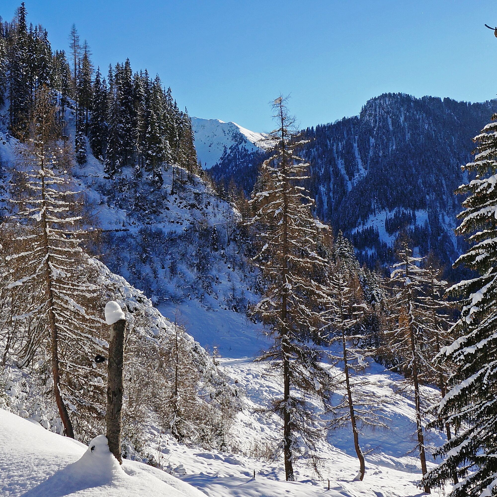
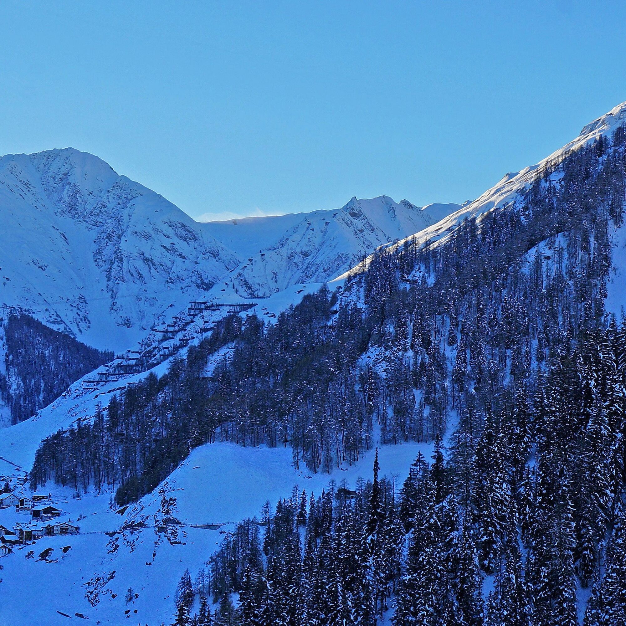
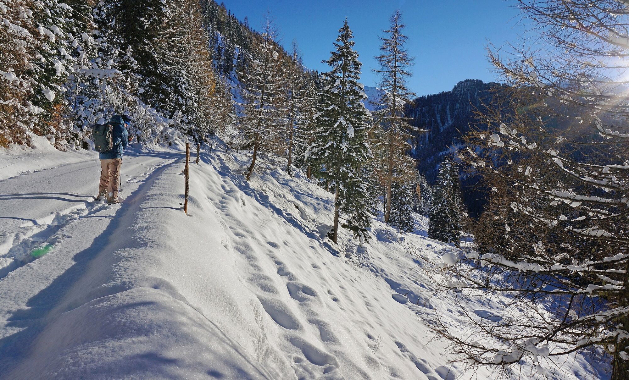
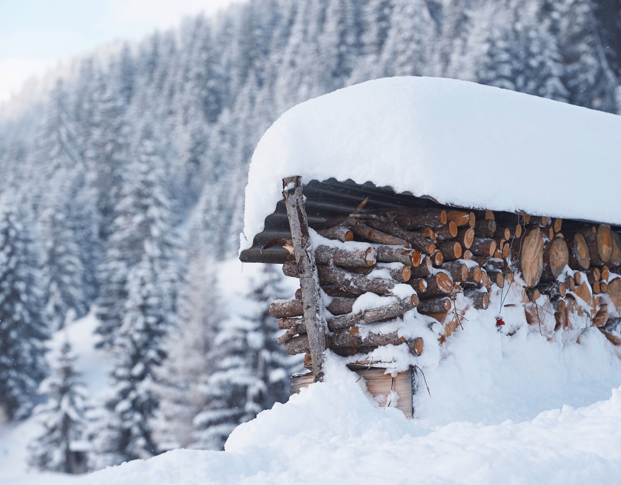

From the church of St. James via the village square to the eastern edge of the village.
Ascent towards Mottas Lungas
Return the same as outward
Áno
Áno
Hohe und feste Wanderschuhe oder Winterstiefel, warme Kleidung, Sonnencreme, Sonnenbrille, Sonnenschutz, Wanderstöcke.
Emergency call:144 Emergency, First Aid1414 Mountain rescue REGA112 International emergency call
Please note: If you are travelling to Samnaun, you will need a valid travel document (passport, ID), as you will pass through customs in Martina or Spissermühle.
By Rhaetian Railway (from Chur, Landquart/Prättigau or from the Upper Engadine) hourly to Scuol-Tarasp station
Continue by PostBus (from Scuol-Tarasp, or Martina, cunfin) hourly to PostBus stop Samnaun-Compatsch, Erlebnisbad
In Samnaun, hourly service during the day with the Samnaunbus
Free parking at the church of St. James and at the schoolhouse in Samnaun-Compatsch
1

Obľúbené výlety v okolí
-
4,7
Murmeltierwanderweg
strednáTuristika 6,87 km -
4,5
Quellenweg & Panorama Genussweg
svetloTuristika 10,5 km -
4,4
Radurschelklamm
strednáTuristika 7,51 km -
4,8
Furgler vom Lazid
ťažkéVysoké turné 9,60 km -
5,0
Rundwanderung Berglisee, Mathon
ťažkéTuristika 11,1 km -
5,0
Kappl, Diasbahn Bergstation, Niederelbehütte, Diasbahn, Österreich
strednáTuristika 10,1 km -
4,6
Furgler über Tieftalsee
strednáTuristika 3,97 km -
4,7
Around Flimspitz from Alptrider Saddle
strednáTuristika 8,57 km -
4,5
Serfaus: Komperdell Tour
strednáMountainbike 12,1 km -
5,0
Six Senses– Genusserlebnisweg der Sinne
svetloTuristika 6,55 km
Turistika a stopovanie


Nenechajte si ujsť ponuky a inšpiráciu na ďalšiu dovolenku
Vaša e-mailová adresa bol pridaný do poštového zoznamu.





