



Fuldera d'Aint - Tschierv Biosfera

Úroveň náročnosti: 1
From Fuldera d'Aint, the easy walk leads alternately through the forest or along the edge of the forest and across the "Palü dals Lais" moorland along the renaturalised Rombach stream towards Tschierv....
From Fuldera d'Aint, the easy walk leads alternately through the forest or along the edge of the forest and across the "Palü dals Lais" moorland along the renaturalised Rombach stream towards Tschierv. In Tschierv there are several possibilities to get on and off the PostBus (Orasom, Plaz, Biosfera or Süsom Tschierv). You can watch the cross-country skiers training on the neighbouring trail.

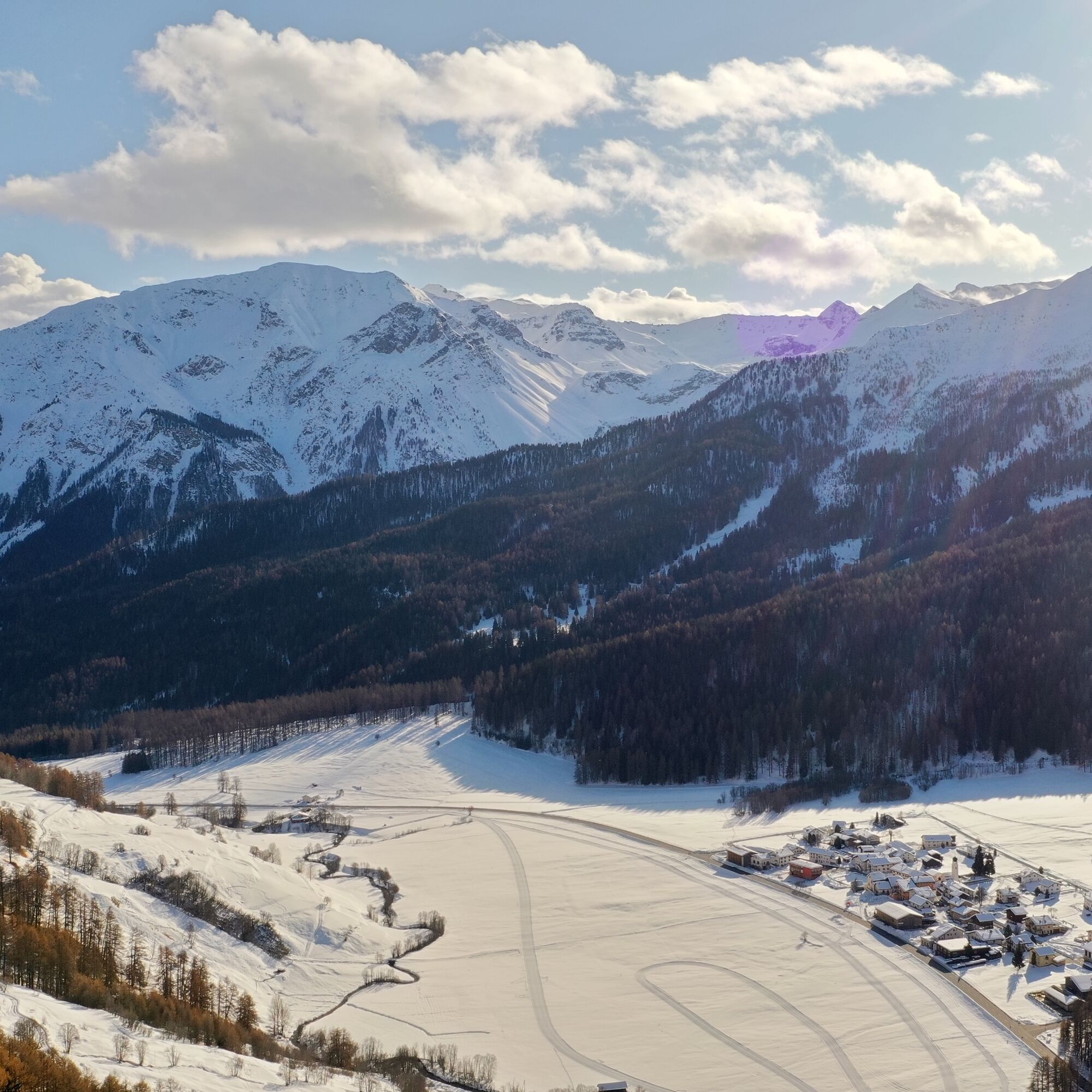
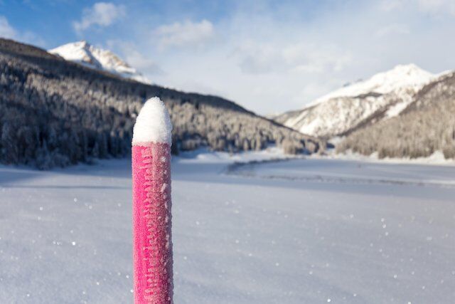
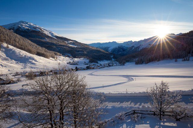
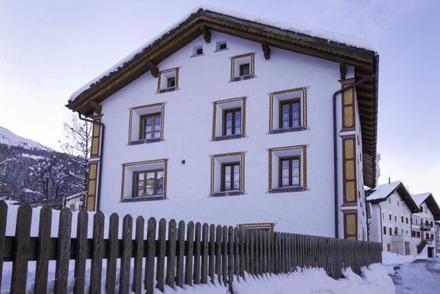

From Fuldera d'Aint via Palü dals Lais to Tschierv
High and sturdy walking shoes or winter boots, warm clothing, sun protection, walking sticks.
Attention: The trail runs partly on cross-country ski tracks - please walk along the edge of the tracks.
emergency call:
144 Emergency call, first aid
1414 Mountain rescue REGA
112 International emergency call
From the north: via Landquart - Klosters by car transport through the Vereina tunnel (Selfranga - Sagliains) or via the Flüela pass and the Ofen pass to Fuldera.
From the east: via Landeck / Austria in the direction of St. Moritz on the H27 to Zernez and then over the Ofenpass to Fuldera.
From the south: via Reschenpass (Nauders-Martina) through the Val Müstair over the Ofenpass to Fuldera.
With the Rhaetian Railway (from Chur, Landquart/Prättigau or Upper Engadine) hourly to Zernez
By PostBus from Zernez to the PostBus stop Fuldera d'Aint
Free parking at Fuldera d'Aint
1
Further information about the Rombach
Obľúbené výlety v okolí
-
5,0
Mountain restaurant Plantaptasch (without Lift)
strednáTuristika 3,42 km -
4,5
National Park: Margunet
svetloTuristika 7,76 km -
4,4
Sonnenaufgang auf der Rötelspitze im Nationalpark Stilfserjoch
Turistika 2,02 km -
4,8
National Park: Grimmels (circular hike)
svetloTuristika 6 km -
4,5
Rundwanderweg Wattles und Sesvenna
svetloTuristika 16,4 km -
4,8
Bergwanderung Schlinig -Seswenahütte
strednáTuristika 13,6 km -
3,4
Sta.Maria, Prà da Vau - Lai da Rims - Alp Sot - Prà da Vau
ťažkéTuristika 14,7 km -
5,0
Sesvennahütte
strednáTuristika 5,01 km -
4,8
Furkelhütte
strednáTuristika 5,49 km -
4,2
Süsom Givè - Chaschlot - Valbella - Süsom Givè
strednáTuristika 9,73 km
Turistika a stopovanie


Nenechajte si ujsť ponuky a inšpiráciu na ďalšiu dovolenku
Vaša e-mailová adresa bol pridaný do poštového zoznamu.


