



Le Sart Galant

Úroveň náročnosti: 1
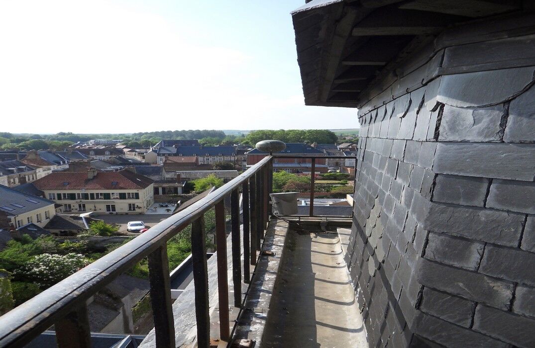
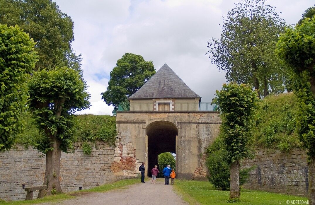
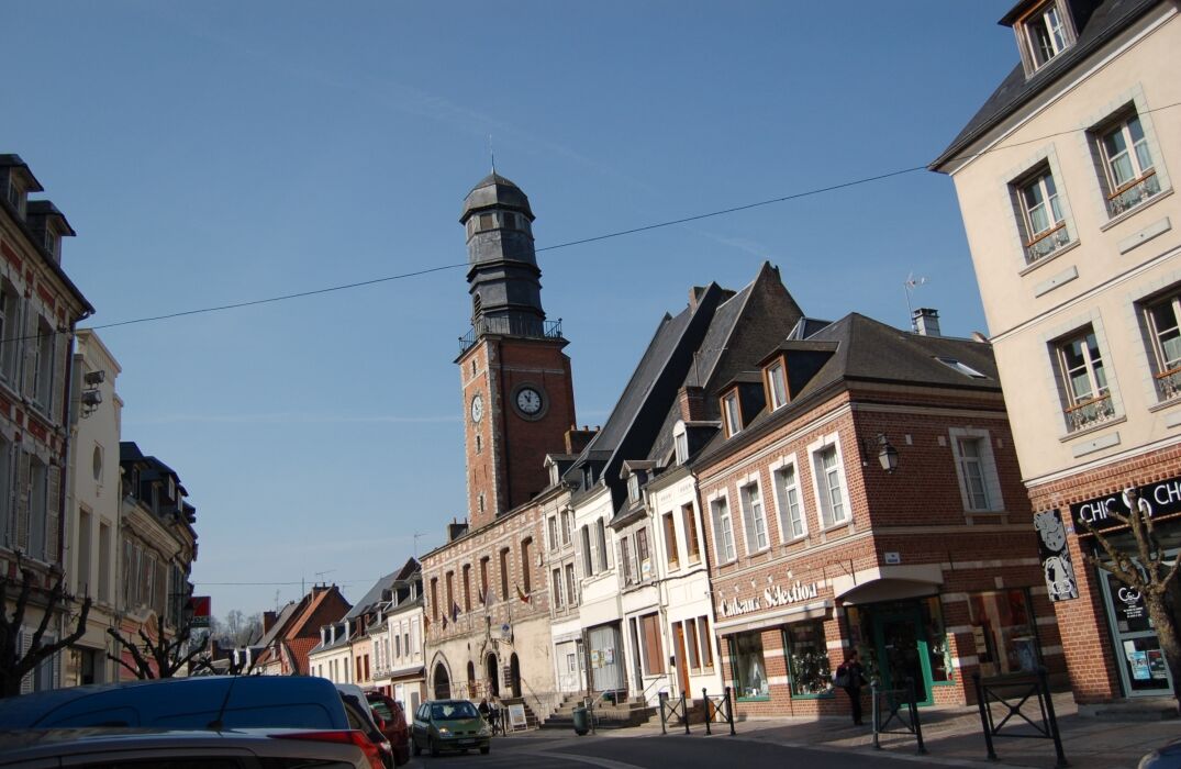
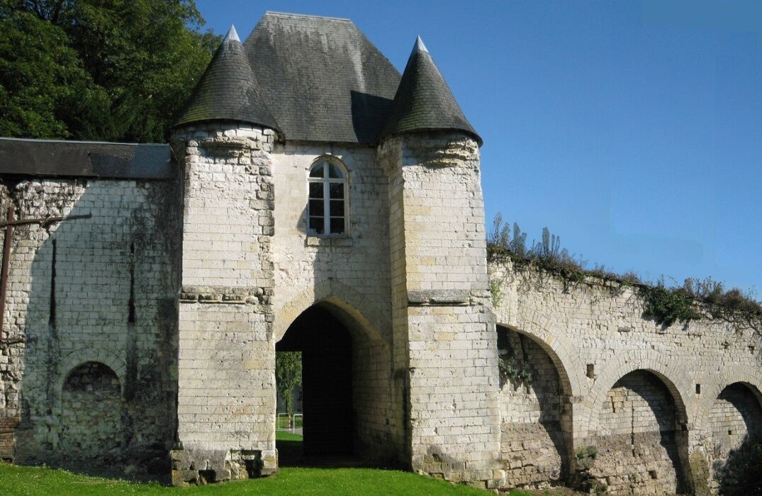
A hike on the border of Pas-de-Calais between heritage and nature: you will discover the Authie Valley, the Grouches Valley, but also the Citadel of Doullens or the belfry and the old castle of Lucheux.From...
A hike on the border of Pas-de-Calais between heritage and nature: you will discover the Authie Valley, the Grouches Valley, but also the Citadel of Doullens or the belfry and the old castle of Lucheux.
From the tourist office, go to Milly, then head to Lucheux. Take the direction of Bouquemaison. Pass Barly, Remaisnil, and Frohen-sur-Authie to cross the Authie. Then the route goes through Béalcourt, Saint-Acheul, Le Meillard, Boisbergues, and Outrebois. Next, the path follows the bed of the Authie. At Hem-Hardival, continue towards
Gézaincourt, cross the railway, and follow the hamlet of Bretel, direction Doullens.


In case of emergency, dial 112
Consider carpooling
Parking near the starting point
1
Obľúbené výlety v okolí
-
The short train
svetloTuristika 11,7 km -
Les Muches and Saint-Riquier
svetloCestný bicykel 58,7 km -
Le Patis
svetloTuristika 8,85 km -
Hesdin - Les Quinze - Mont Blanc
ťažkéCestný bicykel 97,7 km -
5,0
Auxi-le-Château - Église Notre-Dame - Chapelle Saint-Roch - Églice Saint-Maurice
strednáMountainbike 29,6 km -
5,0
Beauvoir-Wavans - Église Notre-Dame-de-l'Assomption - Le Moulin de Maizicourt - Église Saint-Vaast
strednáCyklistika 22,4 km -
Hébuterne - Église Saint-Léger - Notre-Dame Auxiliatrice
strednáCestný bicykel 57,2 km -
Saint-Pol-sur-Ternoise - Église Notre-Dame - Église Saint-Martin
strednáMountainbike 65,9 km -
Bertrancourt - Ancienne église Saint-Pierre - Chapelle Saint-Brice - Église Saint-Léger
strednáCestný bicykel 67,0 km -
Lucheux
strednáTuristika 11,4 km

Turistika a stopovanie


Nenechajte si ujsť ponuky a inšpiráciu na ďalšiu dovolenku
Vaša e-mailová adresa bol pridaný do poštového zoznamu.


