


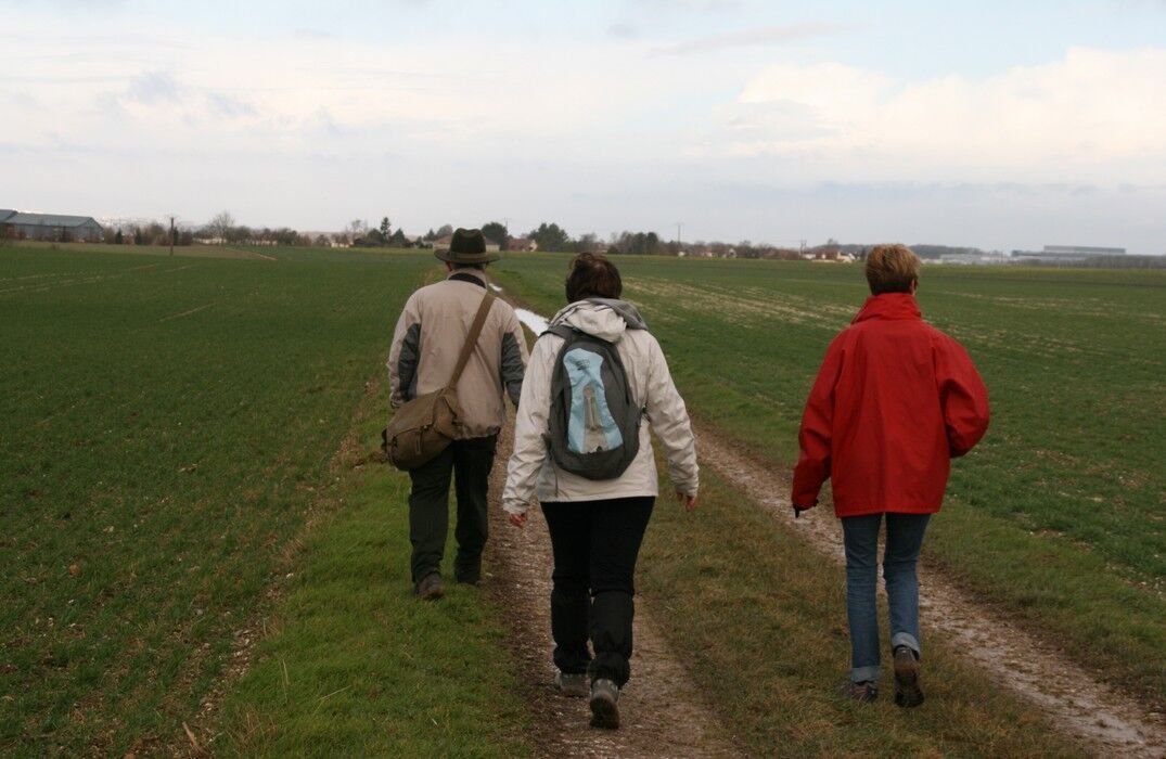
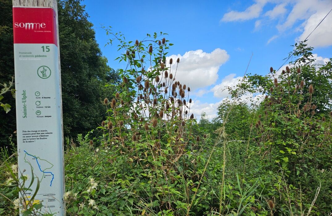
Saint Ulphe
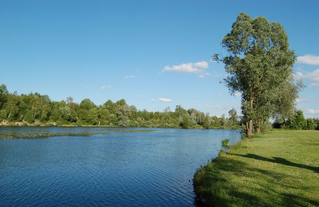
Near the ponds and marshes, a tree frog or another anuran may croak, not hesitating to draw the wrath of the saint!The route takes you along both sides of the Avre to the ruins of Boves castle. From the...
Near the ponds and marshes, a tree frog or another anuran may croak, not hesitating to draw the wrath of the saint!
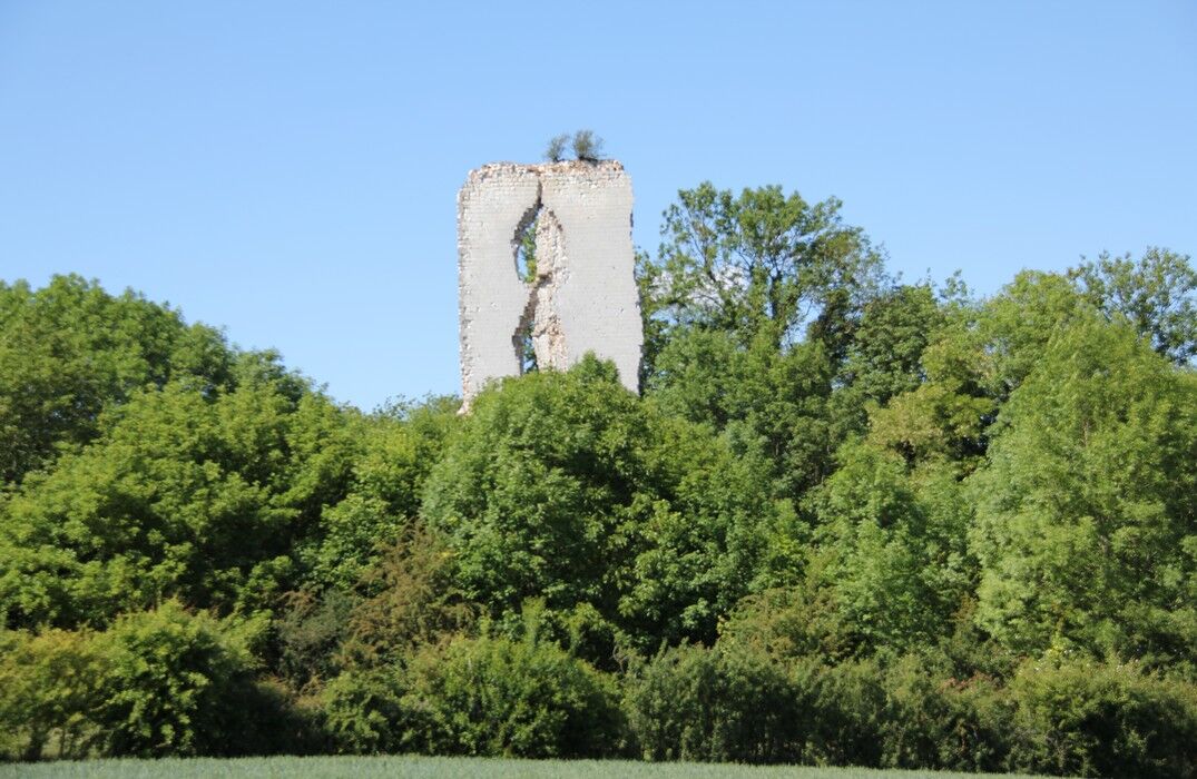
The route takes you along both sides of the Avre to the ruins of Boves castle. From the parking lot, take the path passing by the agricultural high school of Paraclet. Since the late 19th century, it replaced the Cistercian abbey founded in 1219. Next to it is the Sainte-Ulphe chapel, where she lived in the 8th century. At the fork, take the road towards the ponds. Before the railway line, follow the path to Fouencamps. Near the Avre, the Saint-Domice chapel recalls the life of this hermit from the 8th century. At the bridge, cross the Avre, then pass under the railway. At the Prussian Bridge, at the confluence of the Avre and the Noye, follow the path around the Saint-Ladre pond Nature Reserve. Further on, follow the GR towards the Fau Timon wood and cross it to return to the starting point.

Obľúbené výlety v okolí
-
The Green Corridor
svetloTuristika 7,50 km -
The Somme Valley Cycle Route
svetloCyklistika 190,4 km -
GR124 from Cires-lès-Mello to Rebreuviette
svetloTuristika 222,0 km -
The Vallée de Somme Cycle Route
svetloTuristika 190,4 km -
The National Nature Reserve of the Saint Ladre Pond
svetloTuristika 1,58 km -
GR123 From Contes to Carlepont
svetloTuristika 244,0 km -
Circuit vélo – A vélo d’Amiens à Corbie…
svetloCyklistika 18,8 km -
From Moreuil to Boves
svetloKajak / Kanu 14,1 km -
From Boves to Amiens
svetloKajak / Kanu 12,4 km -
From the Somme to the Luce
svetloMountainbike 50,2 km

Turistika a stopovanie


Nenechajte si ujsť ponuky a inšpiráciu na ďalšiu dovolenku
Vaša e-mailová adresa bol pridaný do poštového zoznamu.