






Fishermen's Trail
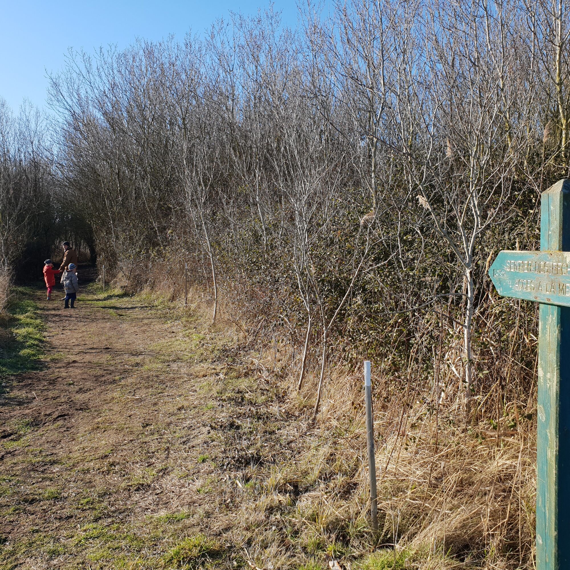
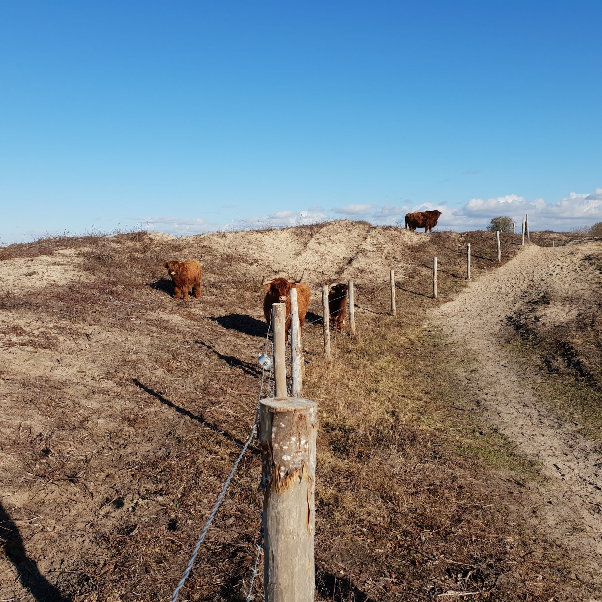
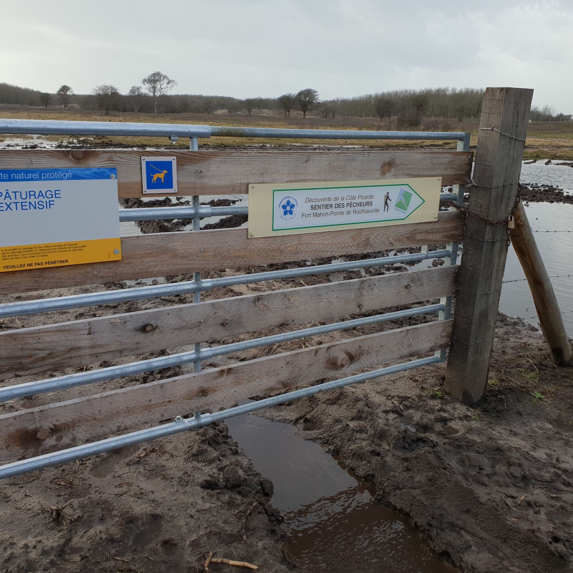
The fishermen's trail was redeveloped during the winter of 2018/2019. You need to follow the dyke for a while before crossing the pastures. The path then continues through the dunes and after climbing...
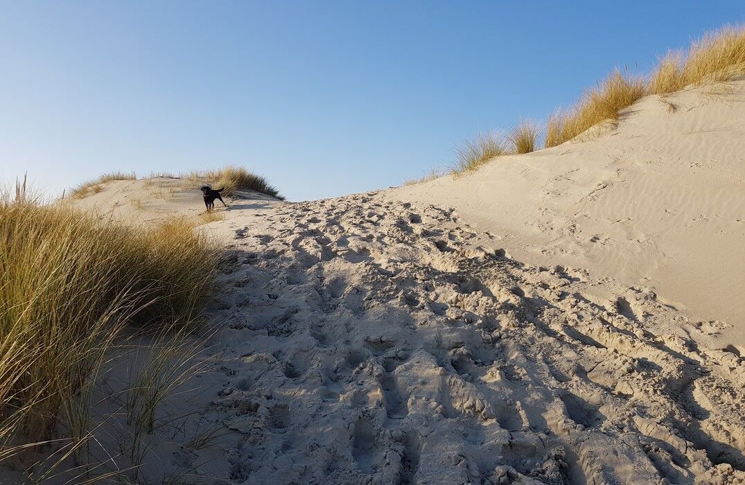
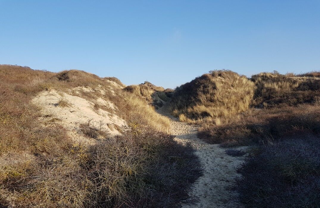
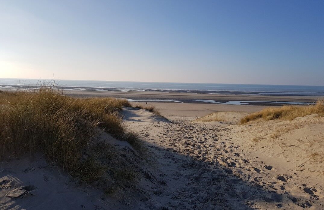
The fishermen's trail was redeveloped during the winter of 2018/2019. You need to follow the dyke for a while before crossing the pastures. The path then continues through the dunes and after climbing the highest one, you can finally see the sea! And in the distance, the resort and the lighthouse of Berck-sur-Mer!
Beware of tide times, this trail follows the upper beach.


In case of emergency, dial 112
Consider carpooling
Parking near the starting point
Obľúbené výlety v okolí
-
The Vélomaritime® - EuroVelo 4 - Le Crotoy -> Berck
svetloMountainbike 41,3 km -
The Royon Dune
svetloTuristika 7,28 km -
Les Crocs - around the Marquenterre
svetloTuristika 15,8 km -
Larronville marsh
svetloTuristika 8,31 km -
Avocette Route
svetloCestný bicykel 29,7 km -
Tadorne Circuit
svetloCestný bicykel 24,7 km -
The Dune of the Authie
svetloTuristika 2,48 km -
Walk at Crotoy
svetloTuristika 10,2 km -
The Colombier
svetloTuristika 9,95 km -
Ponches-Estruval - Église Saint-Germain - Mont Blanc - Église Saint-Léger
svetloŠtrkový bicykel 29,2 km
Turistika a stopovanie


Nenechajte si ujsť ponuky a inšpiráciu na ďalšiu dovolenku
Vaša e-mailová adresa bol pridaný do poštového zoznamu.





