


Premium route P13 Boyneburg
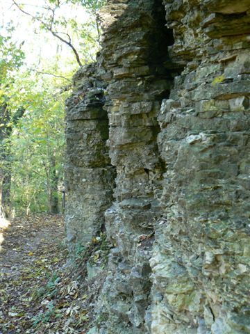
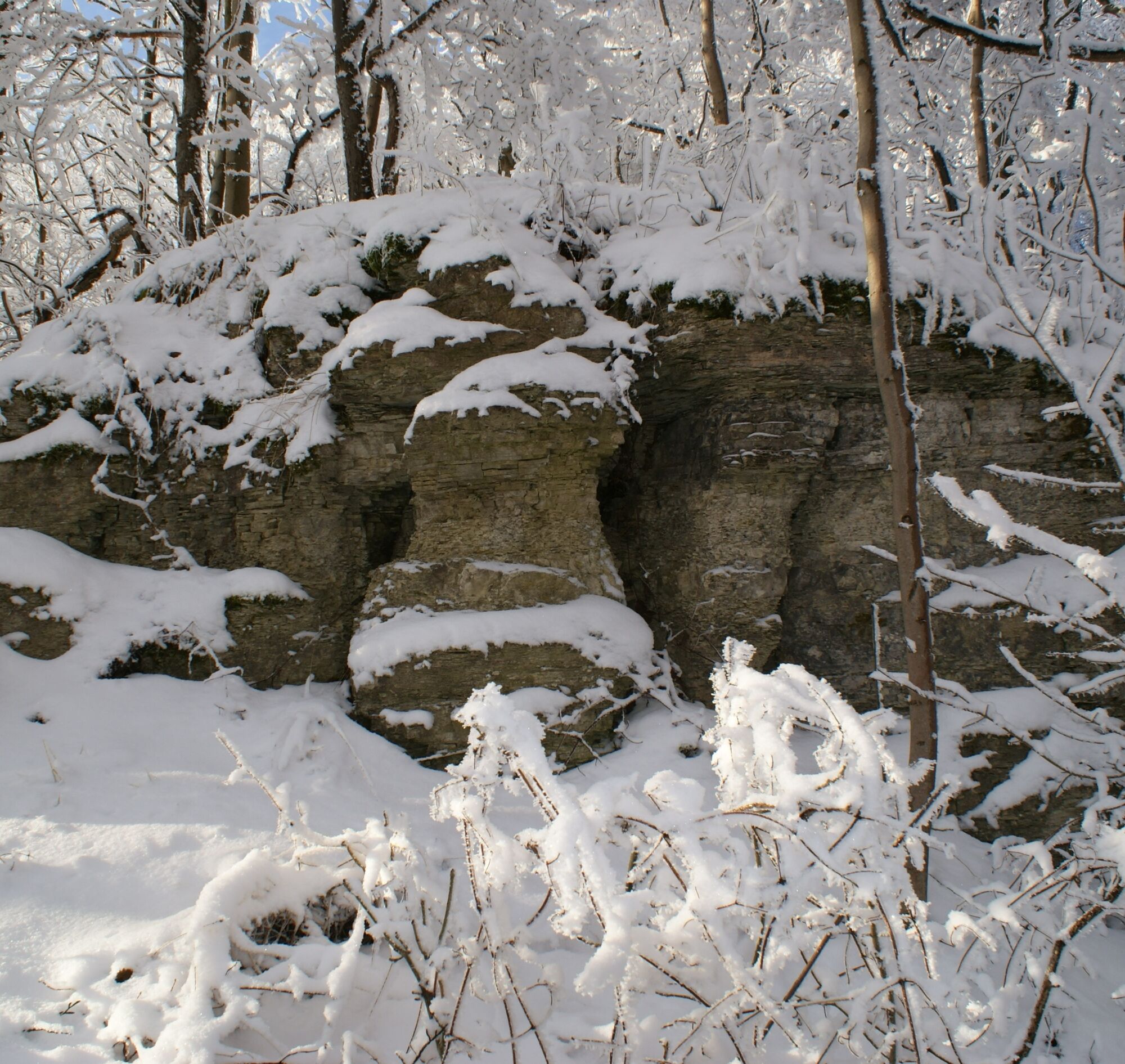
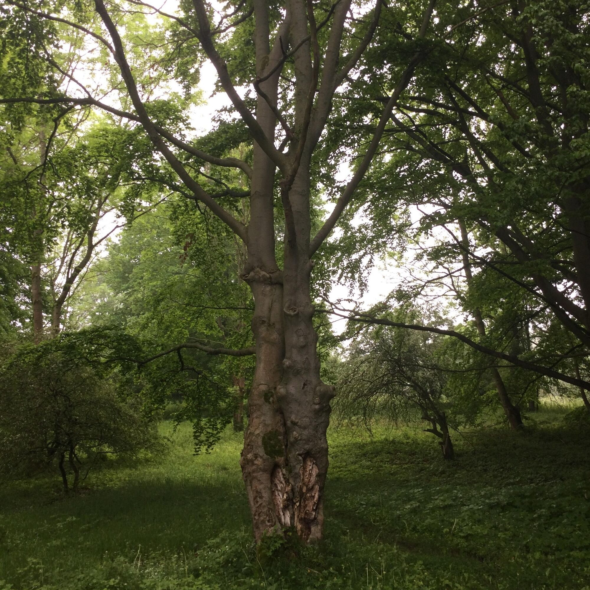
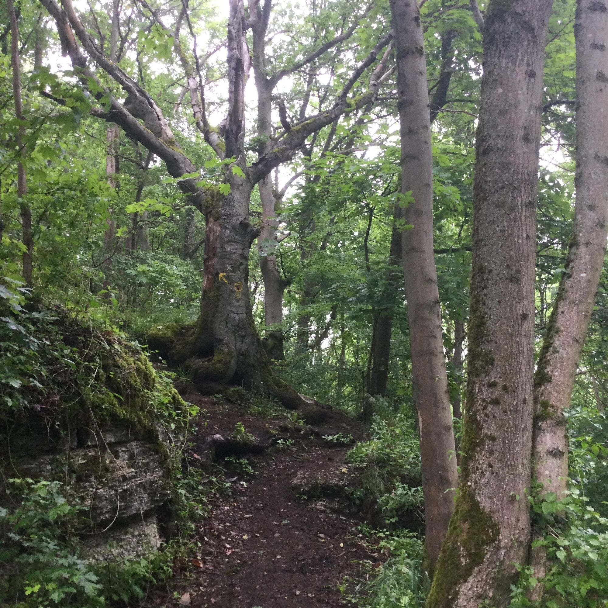
You cross a nature reserve with great diversity on the tour: rock falls, limestone rock meadows, dry grasslands, wide views. The Boyneburg ruins, former imperial castle of Friedrich I, Barbarossa, is the...
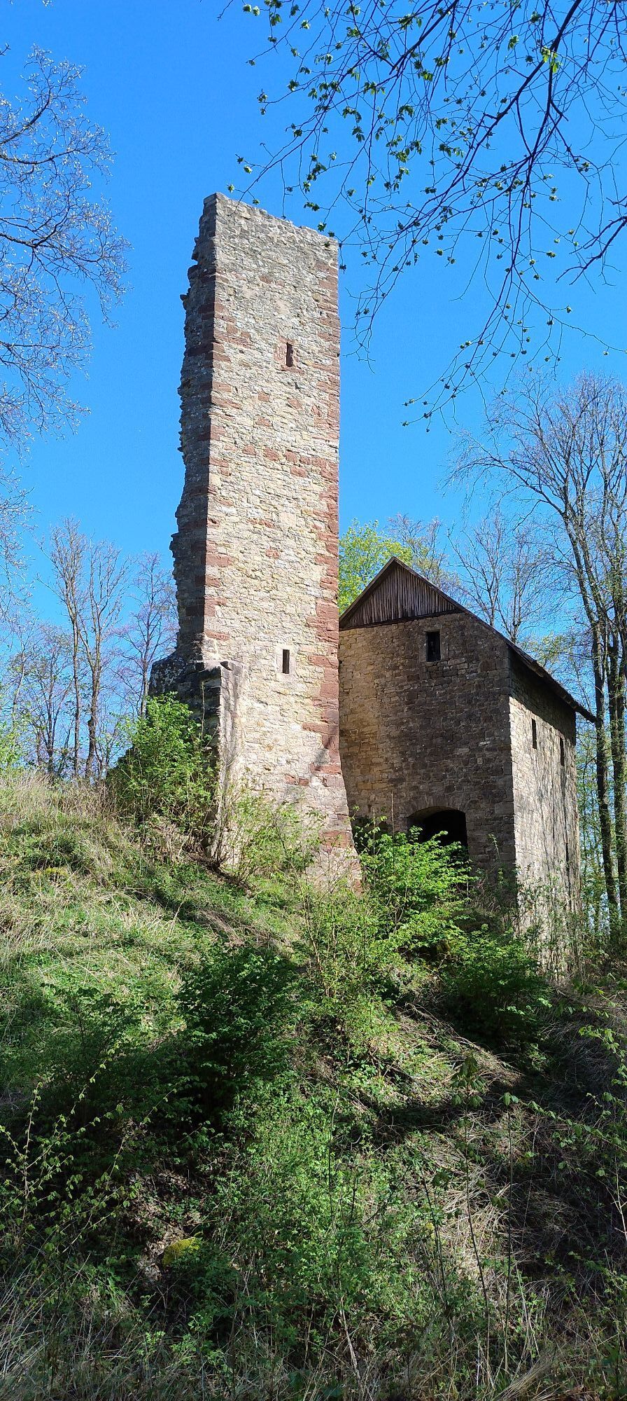
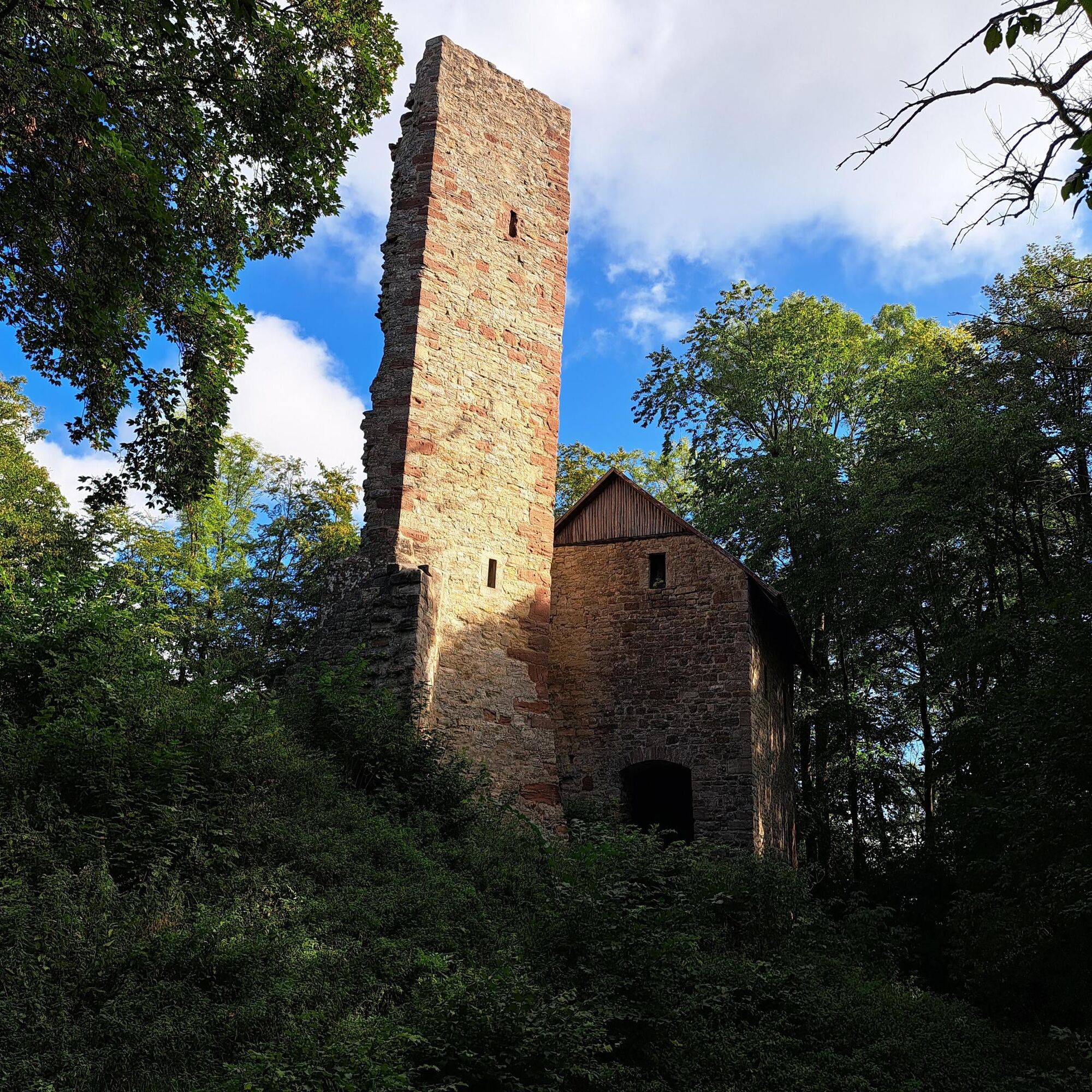
You cross a nature reserve with great diversity on the tour: rock falls, limestone rock meadows, dry grasslands, wide views. The Boyneburg ruins, former imperial castle of Friedrich I, Barbarossa, is the cultural-historical highlight of the 17 km hike in the Geo-Nature Park Frau-Holle-Land.
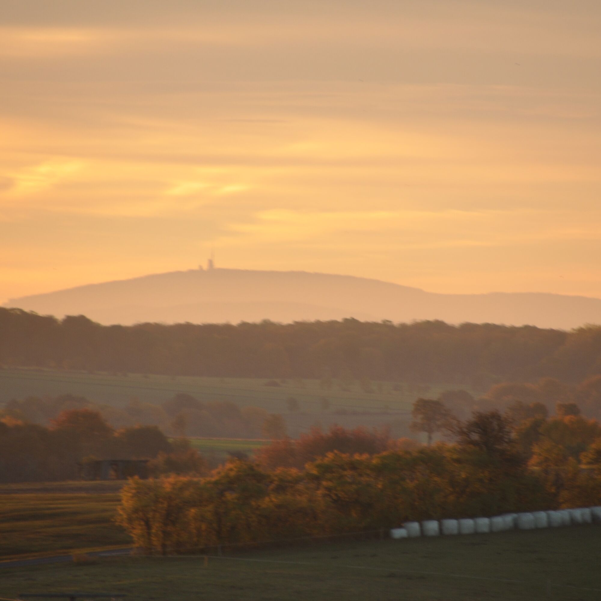
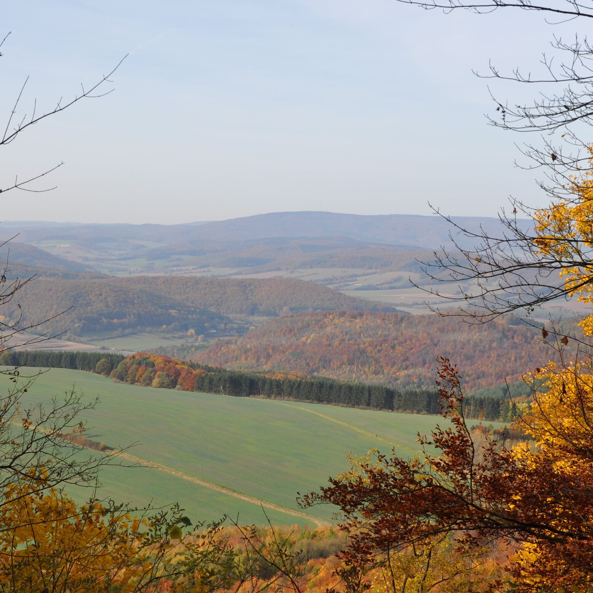
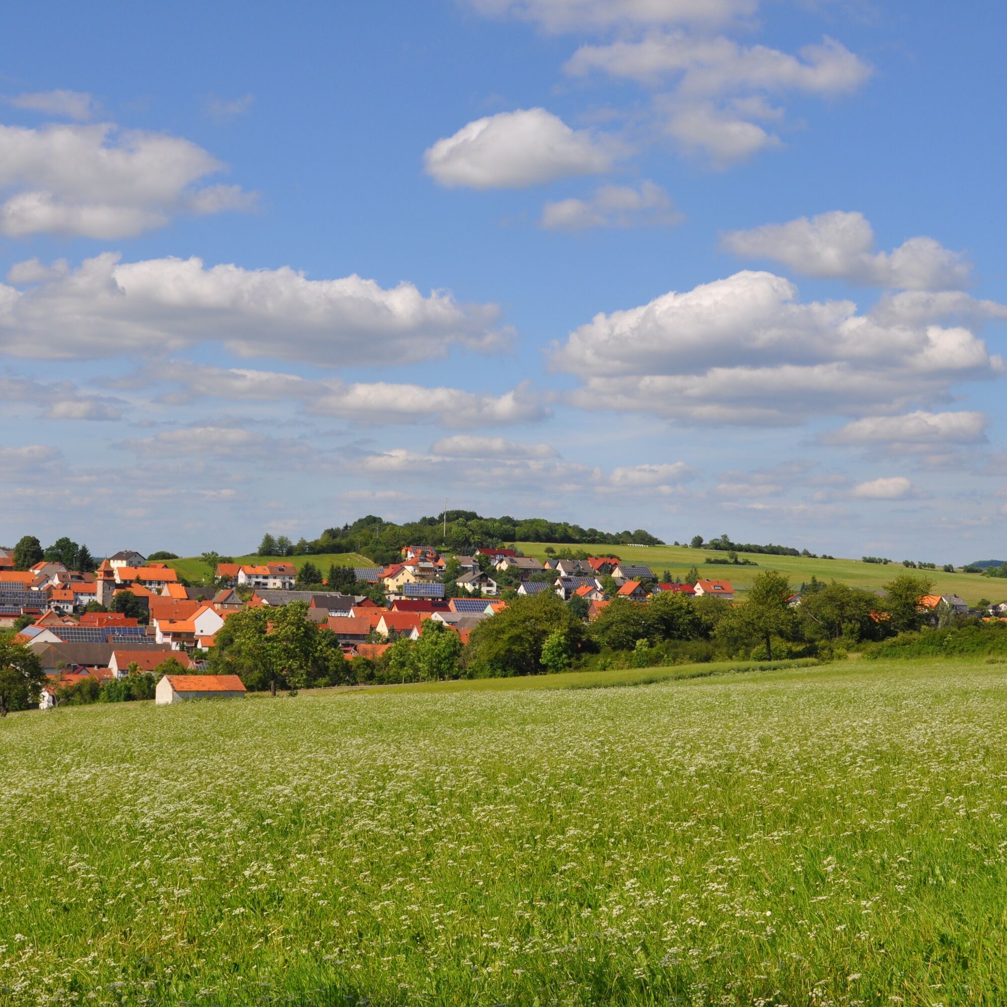
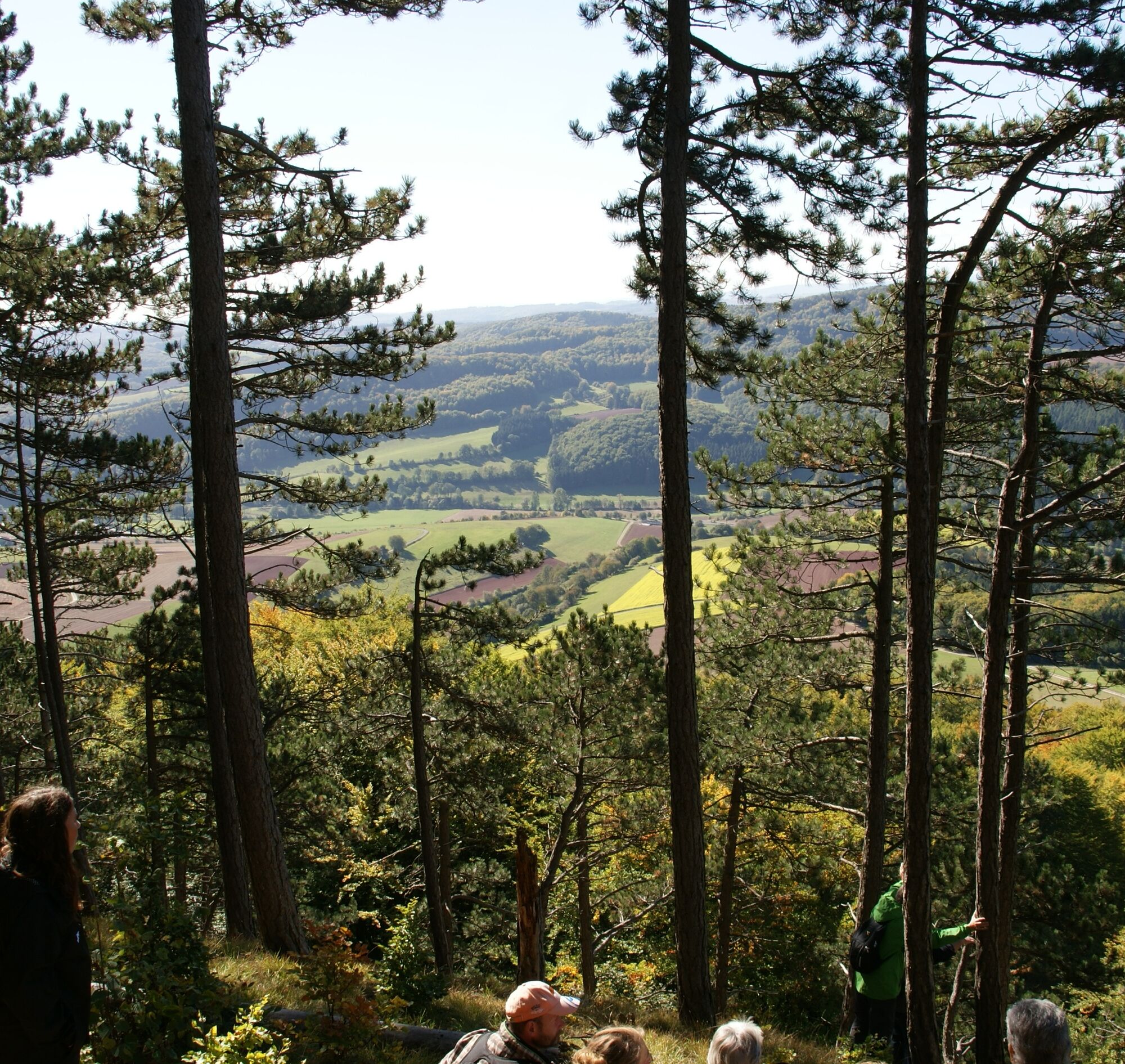
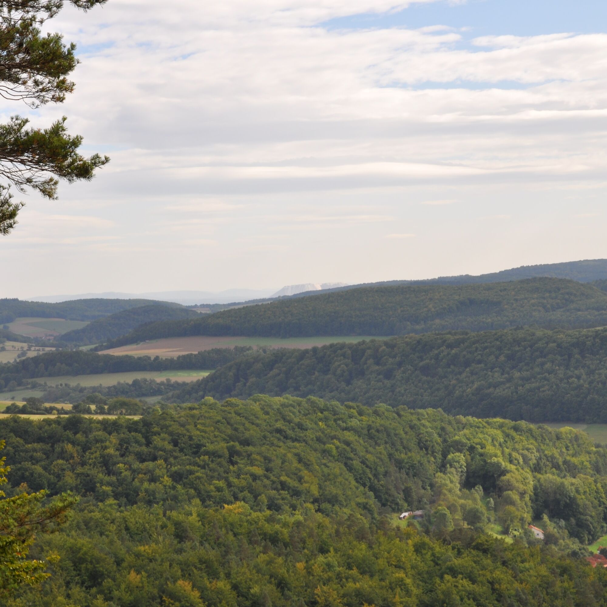
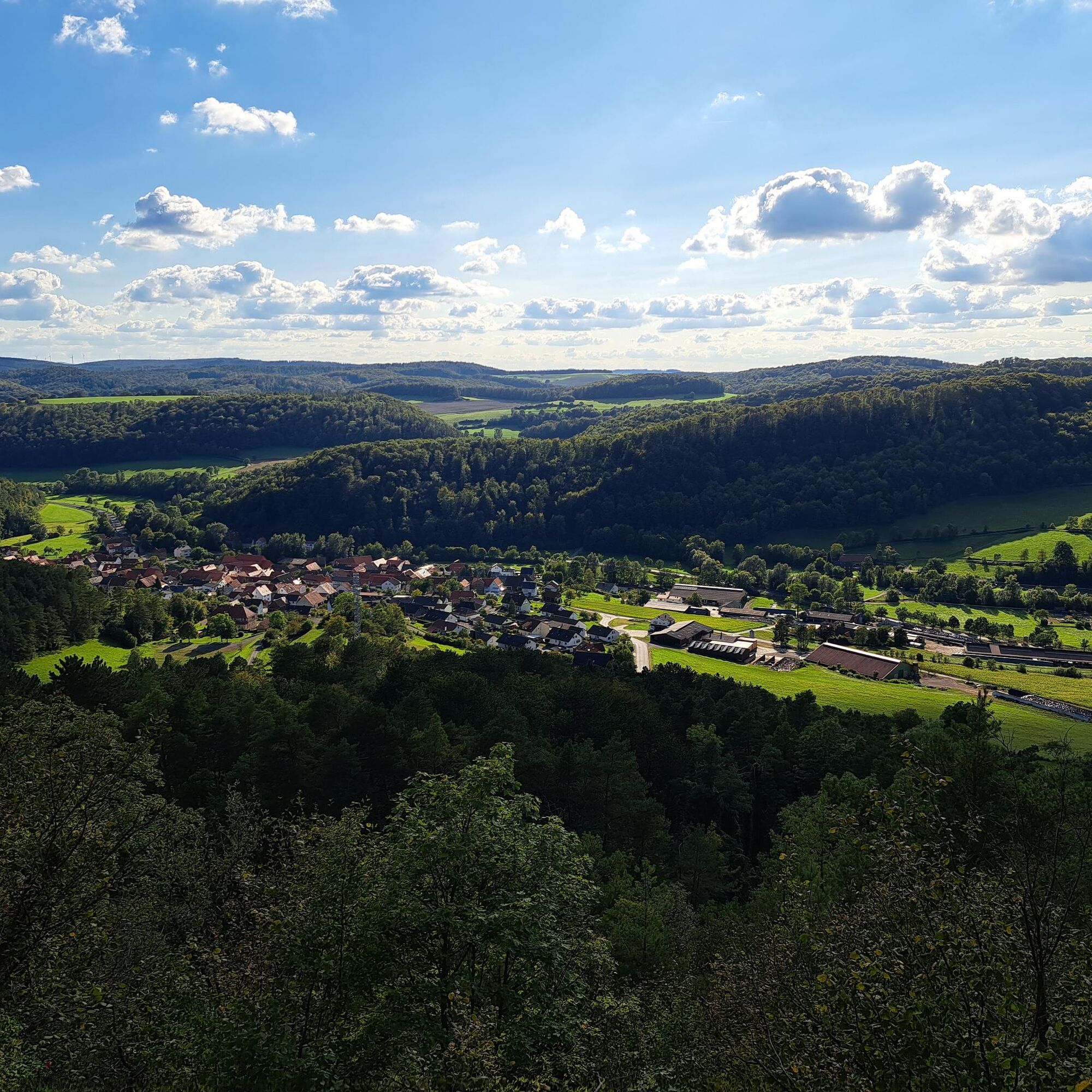
The P13 offers a lively mix of forest with field and meadow landscapes on the scenically interesting Ringgau plateau. In good visibility conditions, hikers can see Eichsfeld, Heldrastein, the Thuringian Forest, the heights of the Rhön, the "Monte Kali", the Alheimer, and the Hoher Meißner from the shell limestone plateau of the Ringgau.
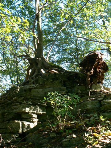
The Boyneburg and Schickeberg nature reserve, at the northwestern edge of the Ringgau plateau, holds many special features in flora and fauna. It is the hunting ground of black and red kites, peregrine and hobby falcons, as well as eagle owls. The highest point of the hike is the protected, legendary Boyneburg (513 m). From the Drei Linden rest area, a shortcut of the circular route leads via the Boyneburg hiking parking lot to the village pond in Grandenborn. This allows the tour to be divided into a hiking loop with Boyneburg of about 10 km and a loop with Schickeberg and Erbberg of about 11 km.
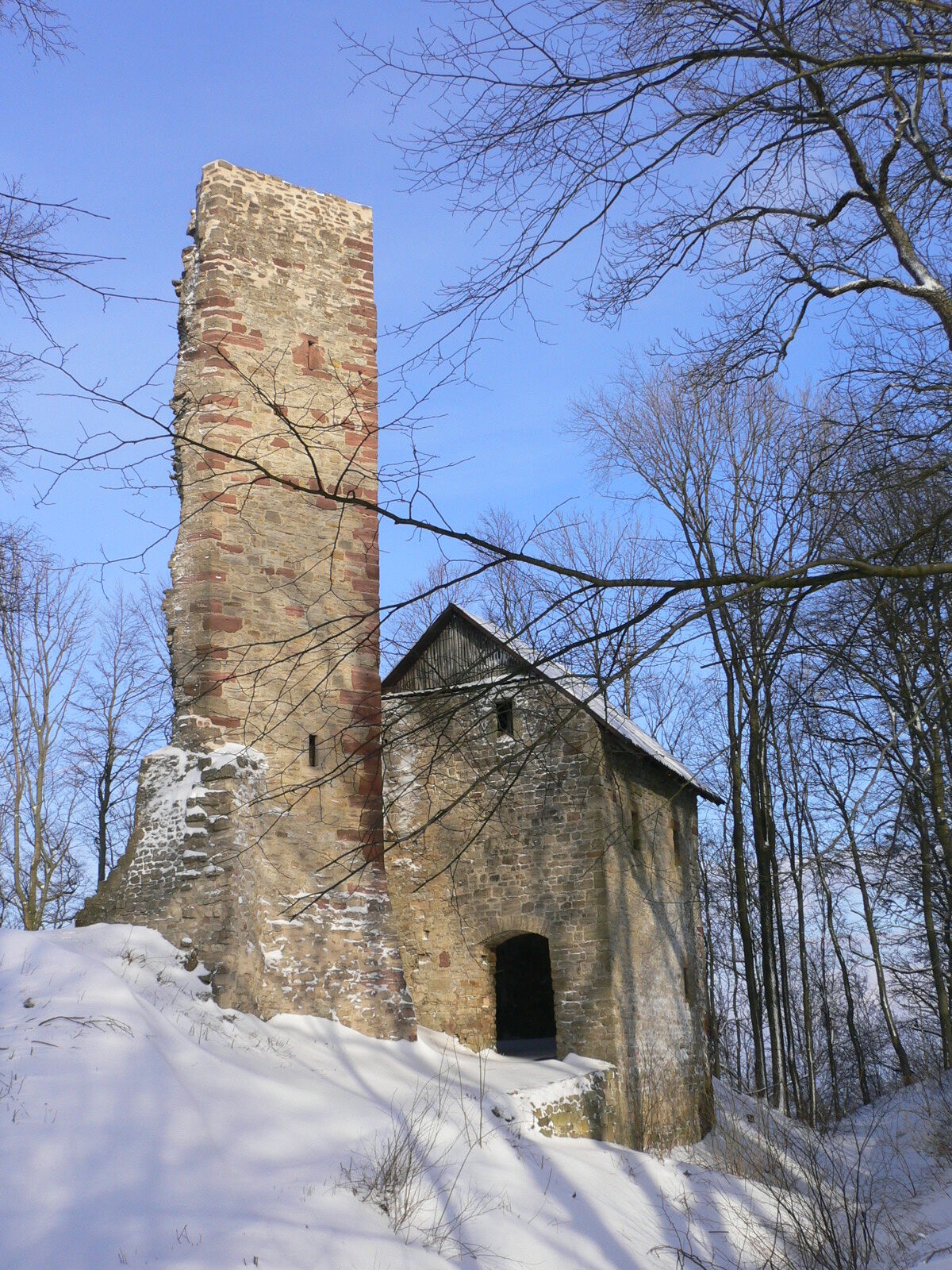
Boyneburg
The castle was first mentioned in writing in 1107. Over centuries, it had a special significance for the Hessian-Thuringian border area. The ruin is still owned by the von Boyneburgk family today. Every year on Ascension Day, several thousand people have traditionally made a pilgrimage up to Boyneburg to receive 1000 loaves of bread and bacon from the baron and his staff. Both are carefully stored on top of a cupboard at home, as the donation from the lord of the castle is said to protect against lightning strikes. This custom goes back to the legend of the maiden of Boyneburg, who entrusted her soul to God and disappeared in a bolt of lightning.
Refreshments on the way:
Der Teichhof, restaurant and farm shop, Am Teich 5, 37296 Ringgau Grandenborn, 05669 810, www.derteichhof.de
In the area:
Landhotel Fasanenhof, Hasselbach 28, 37296 Ringgau-Datterode, 05658 1314 www.fasanenhof-landhotel.de
Accommodation on the way:
Hotel Der Teichhof, Am Teich 5, 37296 Ringgau Grandenborn, 05669 810, www.derteichhof.de
In the area:
Hay hotel in Heuhof Keudelsgasse 6, 36205 Sontra-Breitau, 05653-914513, www.heuhof-breitau.de
Landhotel Fasanenhof, Hasselbach 28, 37296 Ringgau-Datterode, 05658 1314 www.fasanenhof-landhotel.de
Further accommodation options: www.naturparkfrauholle.land
Áno
Moderate route, sturdy hiking shoes recommended.
Please note the current information at www.naturparkfrauholle.land
Navigation: Am Teich, 37296 Ringgau
Via federal road 7
Nearest DB train station: Sontra. Route planner of the Nordhessischer Verkehrsverbund: www.nvv.de
Bus line 240, stop Ringgau-Grandenborn
Two hiking parking lots are equipped with information boards and can be used free of charge.
Hiking parking lot Grandenborn village center, Am Teich, 37296 Ringgau,
Hiking parking lot Boyneburg 37296 Ringgau (signposted from Grandenborn).
Áno
All year round, best time April to October
Connected with the premium route P20 Ulfener Karst.
Information about accommodation, excursion tips, guided hikes and news from the Geo-Nature Park Frau-Holle-Land: www.naturparkfrauholle.land, tel. 05657 644990 or 0561 1003-1382.
Here you can book an experienced nature park guide who will accompany you on your tour.
The Ringgau plateau with its slopes is of great importance for birds during migration as well as a resting and breeding area.
Obľúbené výlety v okolí
-
5,0
Premium route P21 Point India - Walkable Green Belt
strednáTuristika 14,9 km -
Premium trail P6 Heldrastein - Walkable Green Belt
strednáTuristika 12,8 km -
Premium route P3 Blaue Kuppe - Eschwege
ťažkéTuristika 19,0 km -
Premium route P15 Graburg - Walkable Green Belt
strednáTuristika 13,8 km -
Premium route P17 Waldkappel Mountains
strednáTuristika 17,4 km -
Premium route P19 Datterode, Goose Lads' Route
strednáTuristika 9,55 km -
Premium path P20 Ulfener Karst
strednáTuristika 11,5 km -
Premium route P18 Tannenburg
strednáTuristika 8,34 km -
7th section Werra-Burgen-Steig Hessen - Walkable Green Belt
Turistika 15,3 km -
Premium path P12 Mainzer Köpfe - Walkable Green Belt
strednáTuristika 9,57 km

Turistika a stopovanie


Nenechajte si ujsť ponuky a inšpiráciu na ďalšiu dovolenku
Vaša e-mailová adresa bol pridaný do poštového zoznamu.