







Circular route Skywalk/Hill - Ettelsberg



With the Ettelsberg cable car, you can comfortably reach the 838 m high Ettelsberg. The circular route starts at the mountain station; the first sign is at the Hochheideturm by the lake. Follow the red-gray...
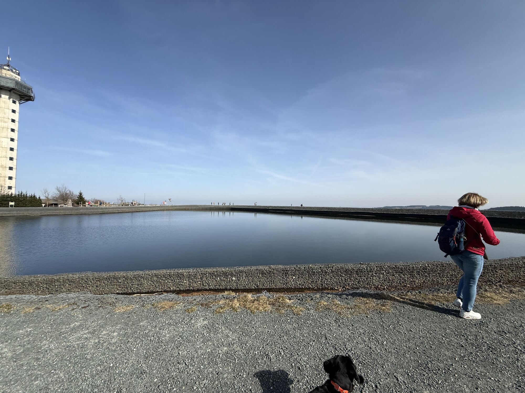
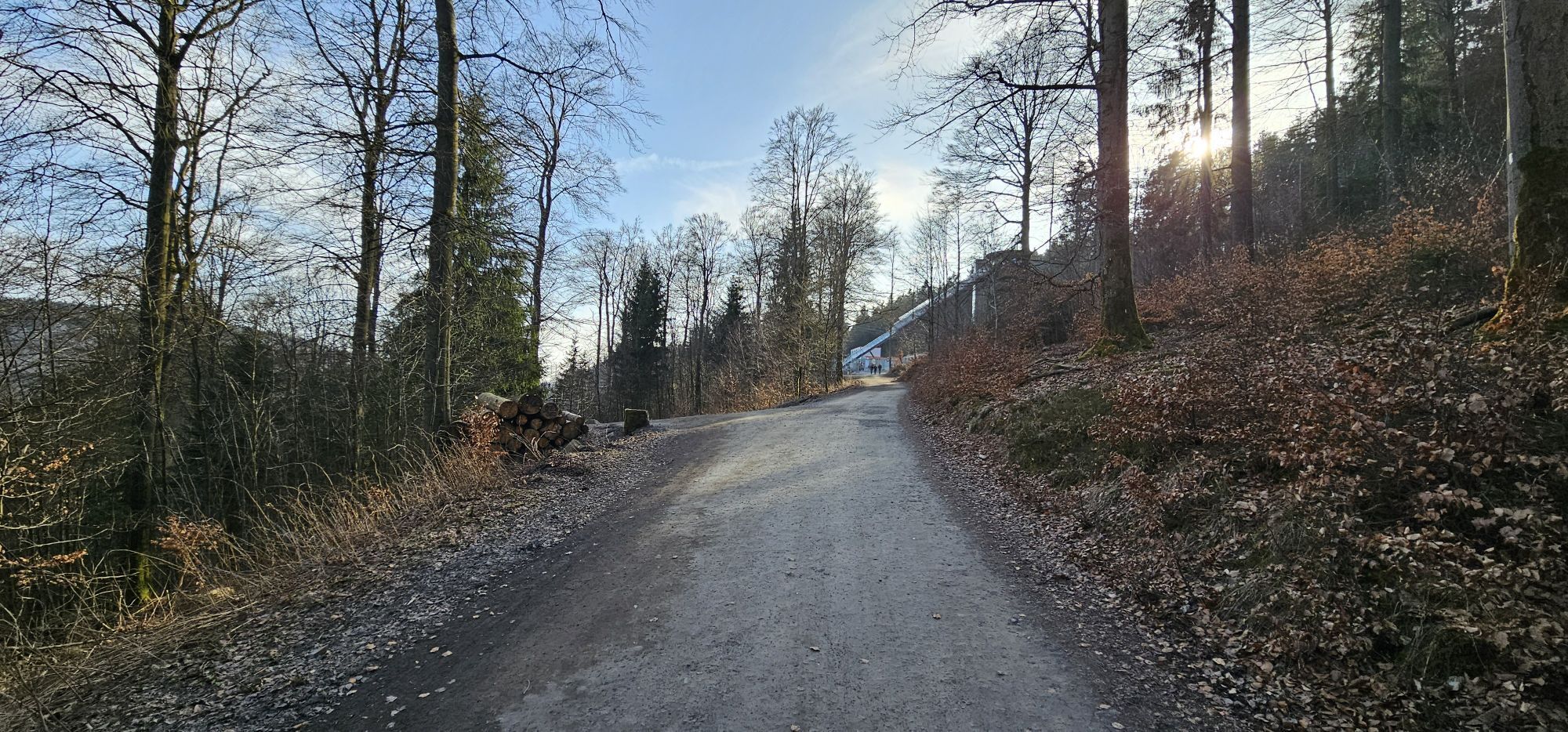
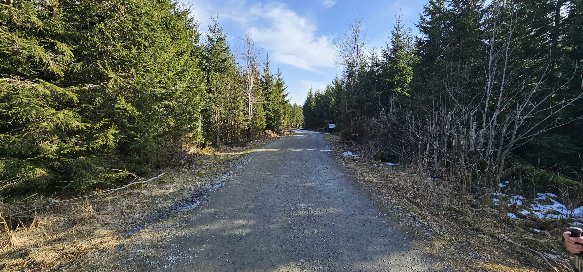
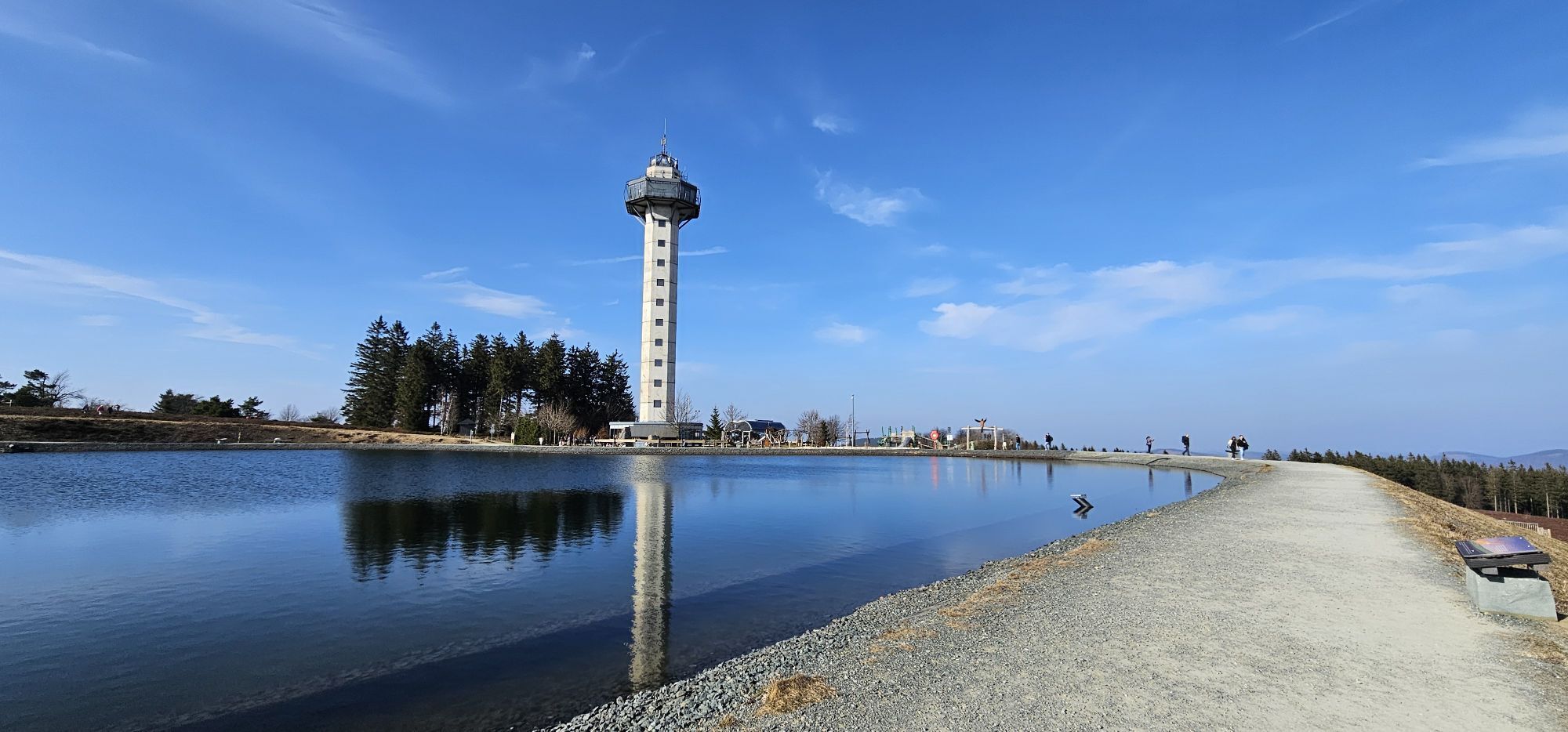
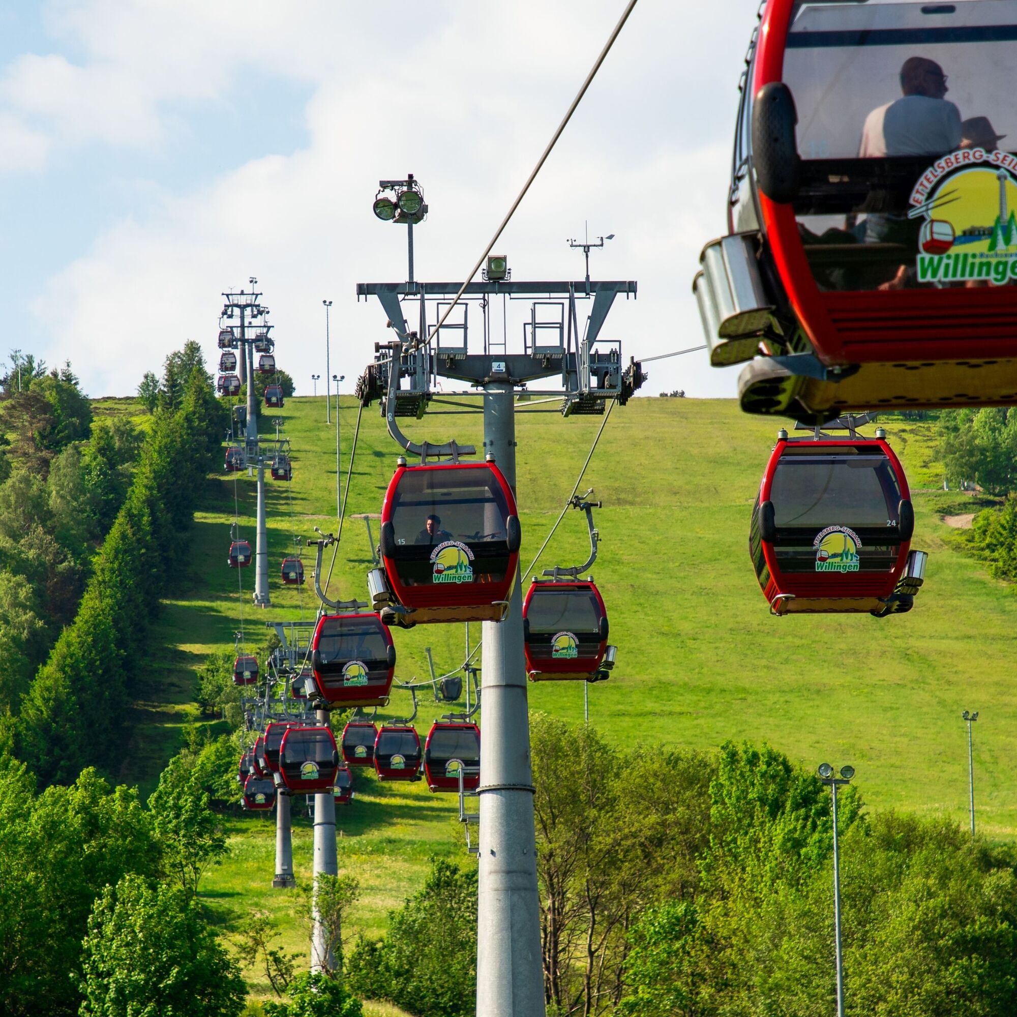
With the Ettelsberg cable car, you can comfortably reach the 838 m high Ettelsberg. The circular route starts at the mountain station; the first sign is at the Hochheideturm by the lake. Follow the red-gray signposts and walk comfortably over forest, woodland, and meadow paths.
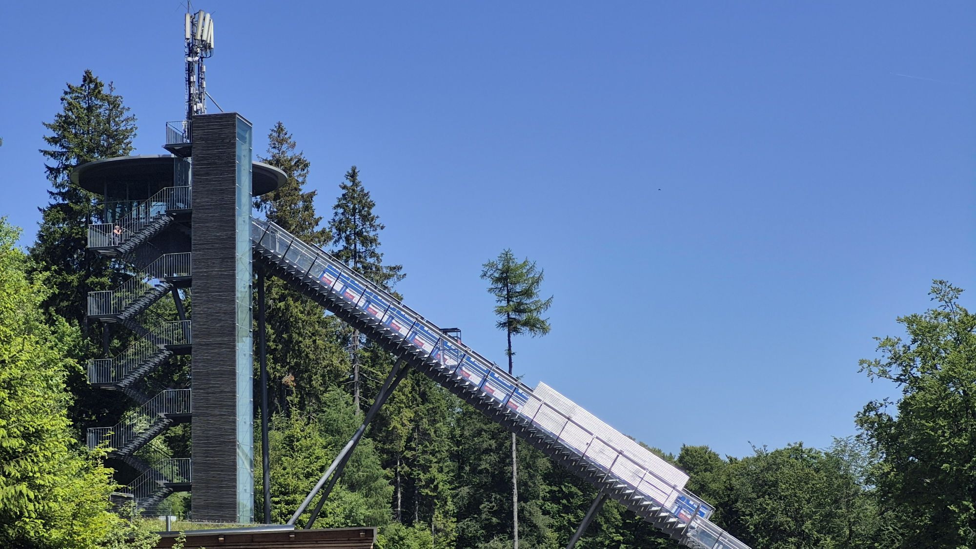
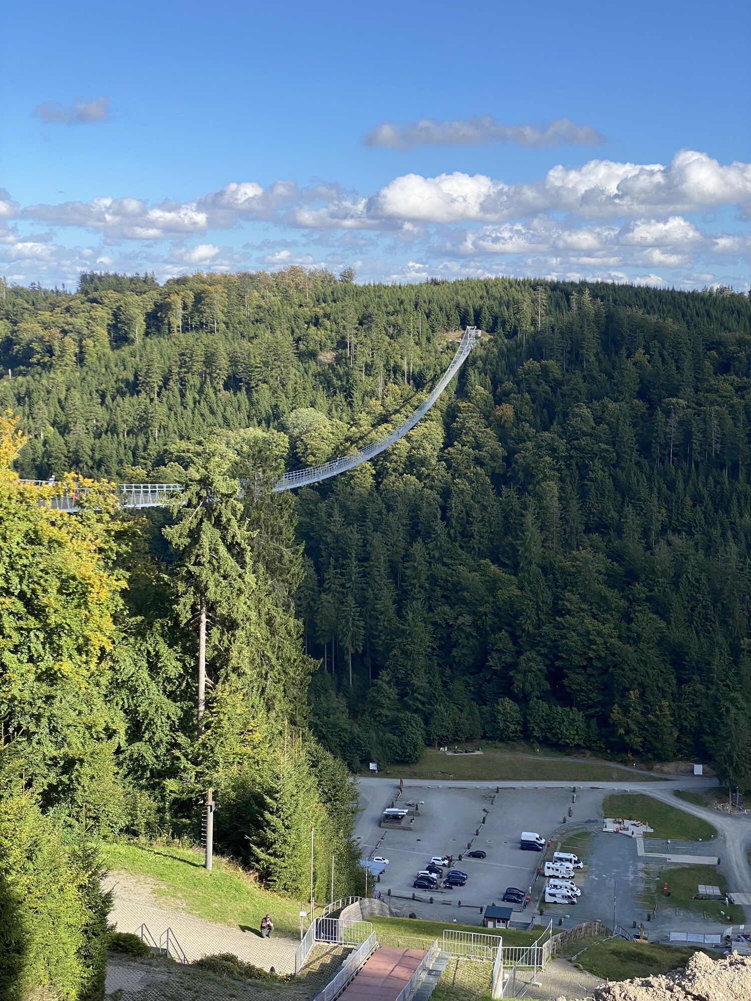
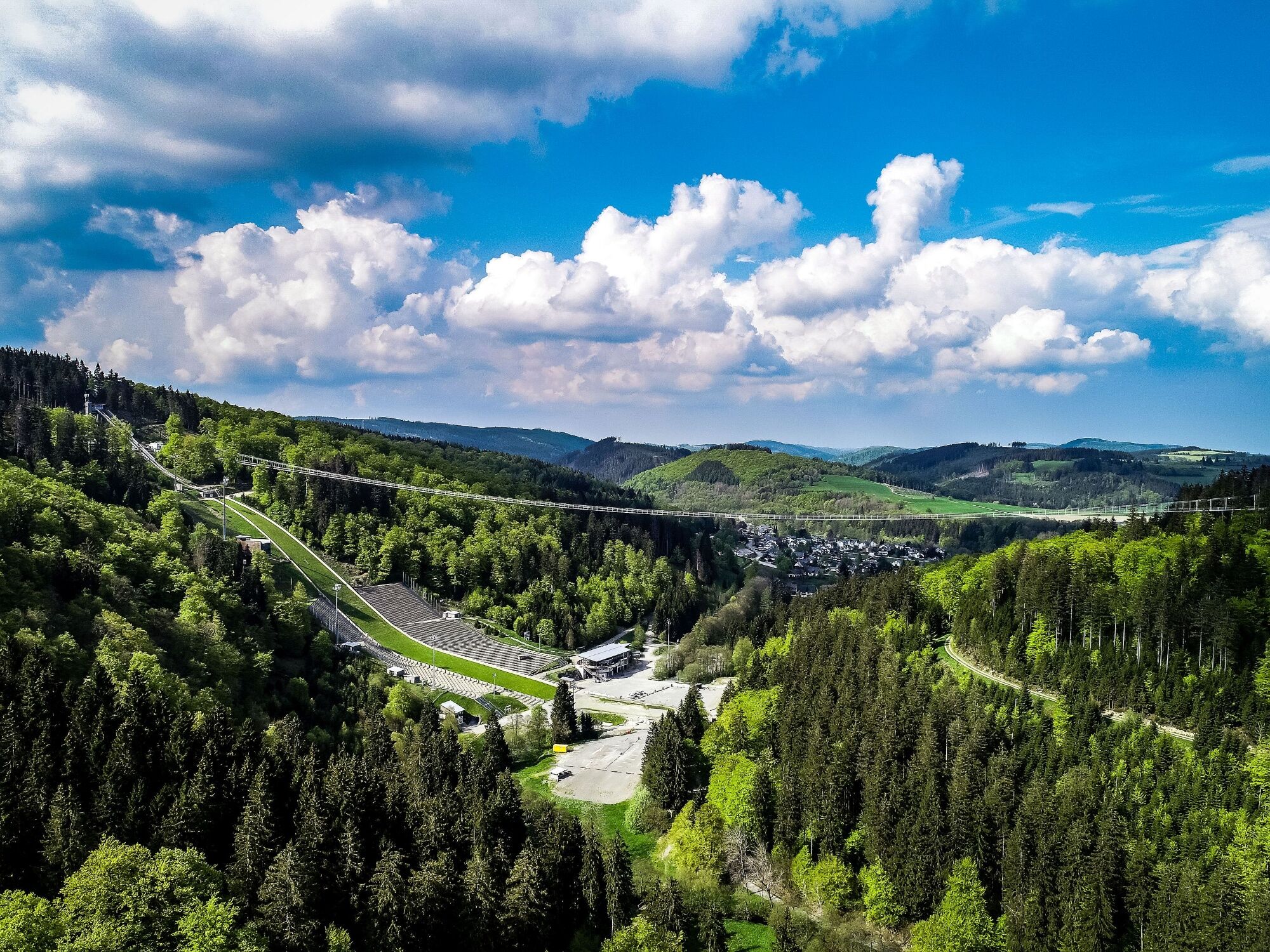
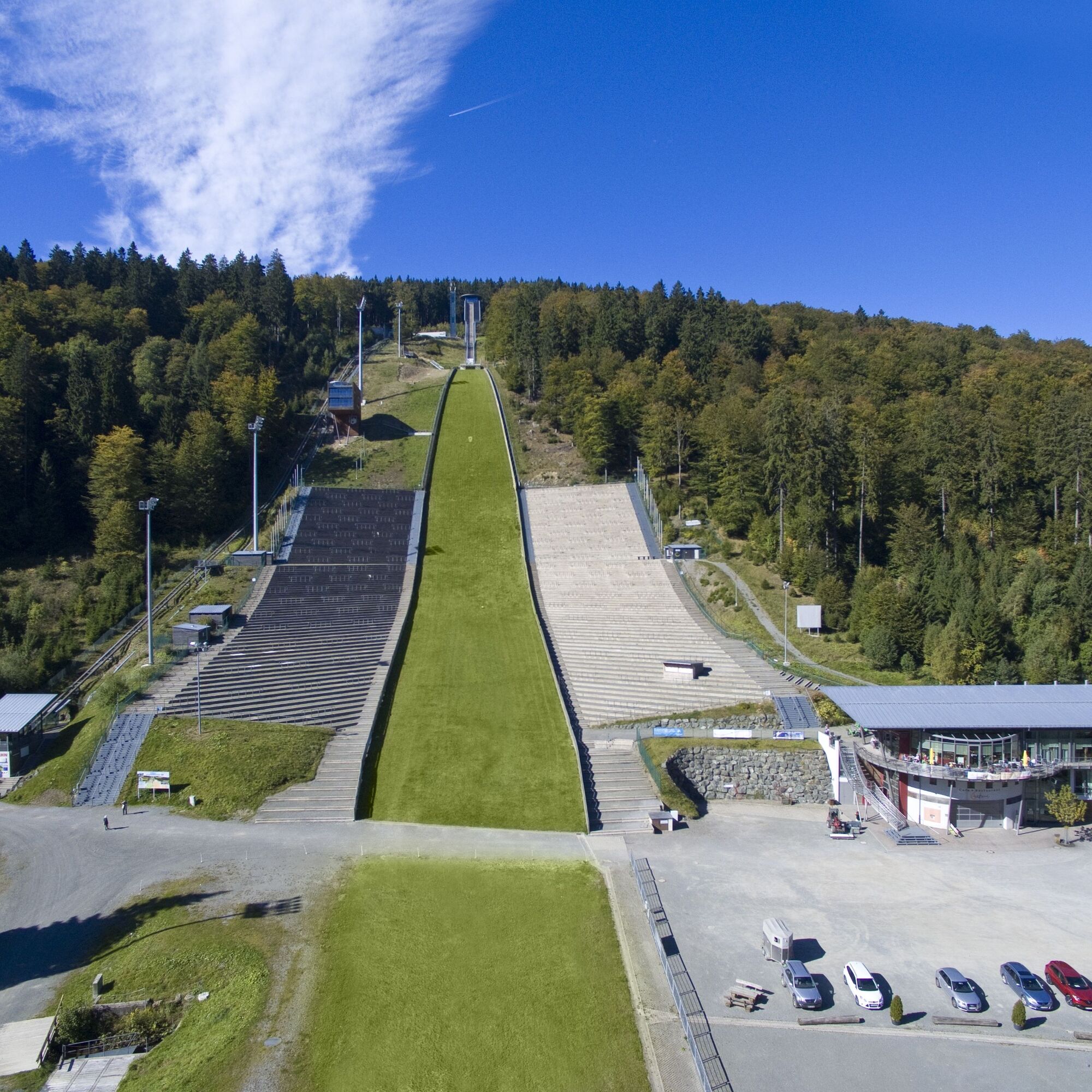
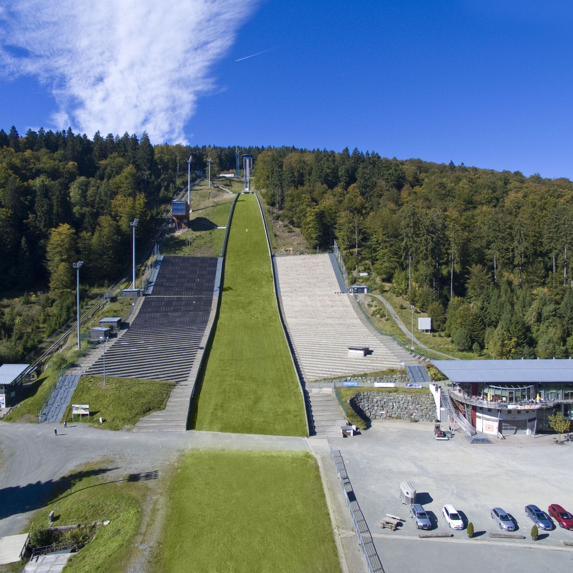
After about one and a half kilometers, you reach the Mühlenkopfschanze, the largest large hill in the world, where the world’s best ski jumpers compete each winter for distance and fly like eagles into the valley.
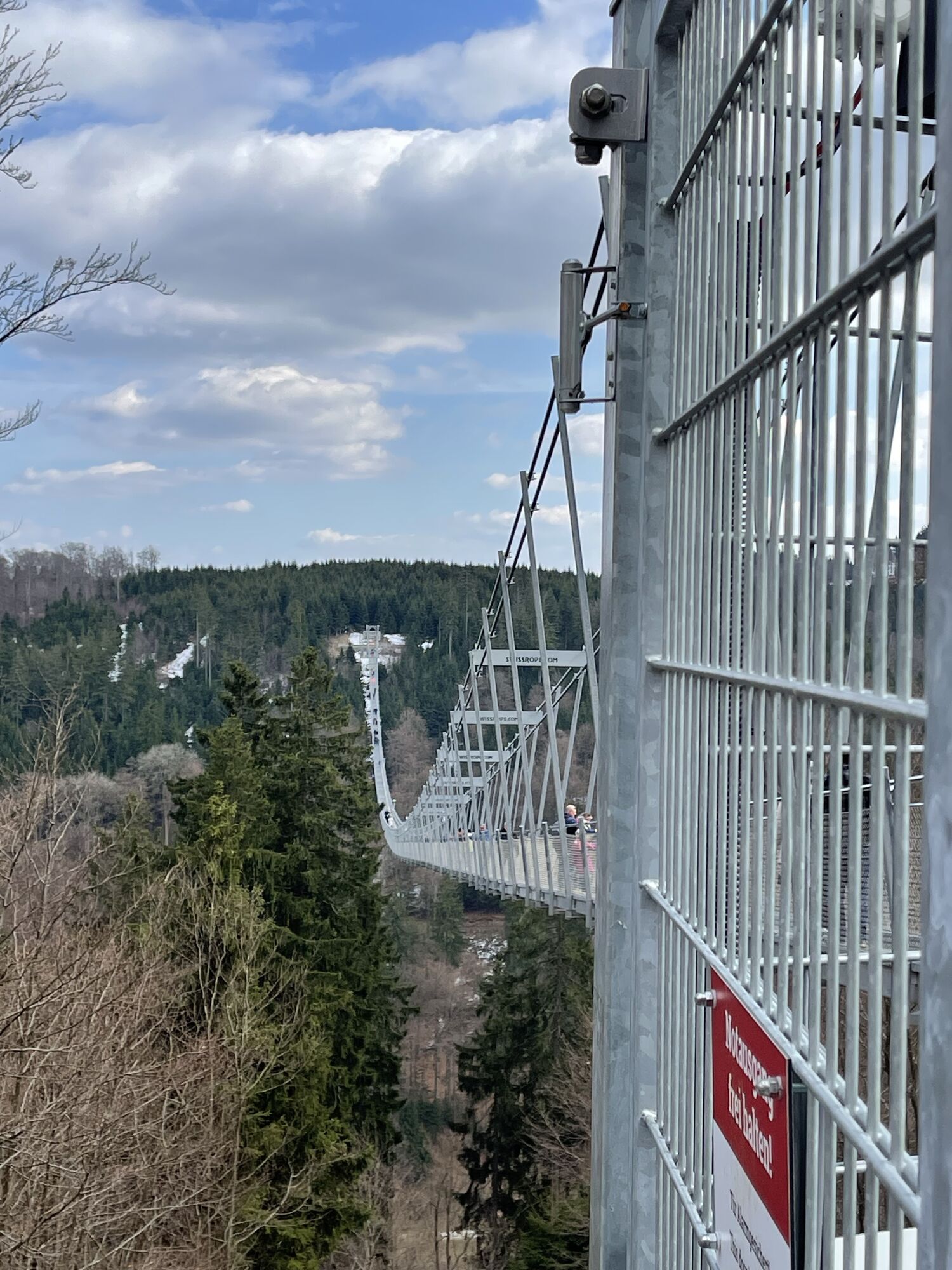
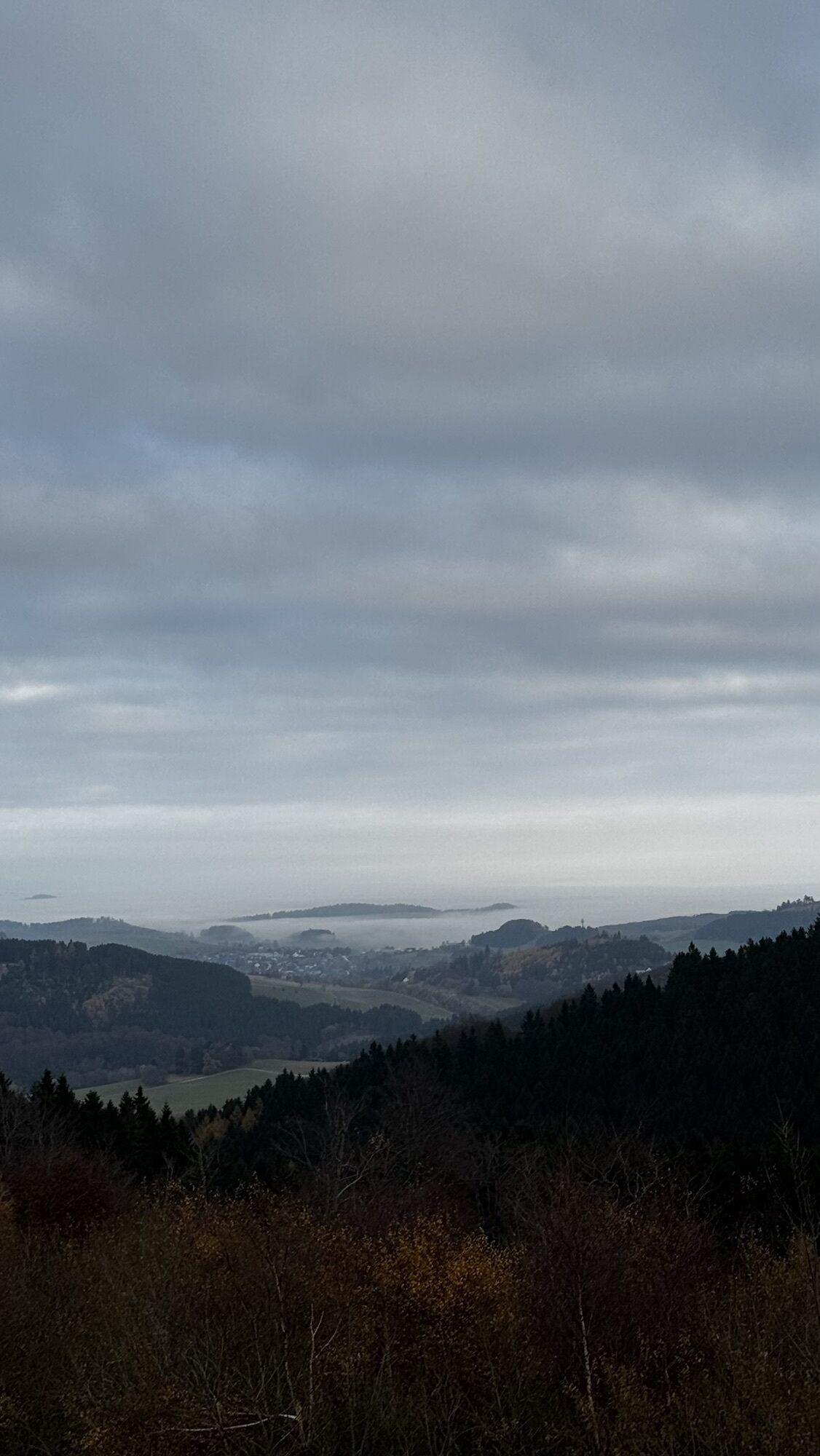
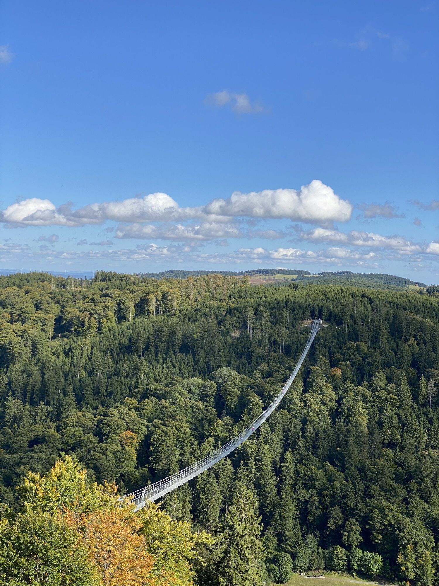
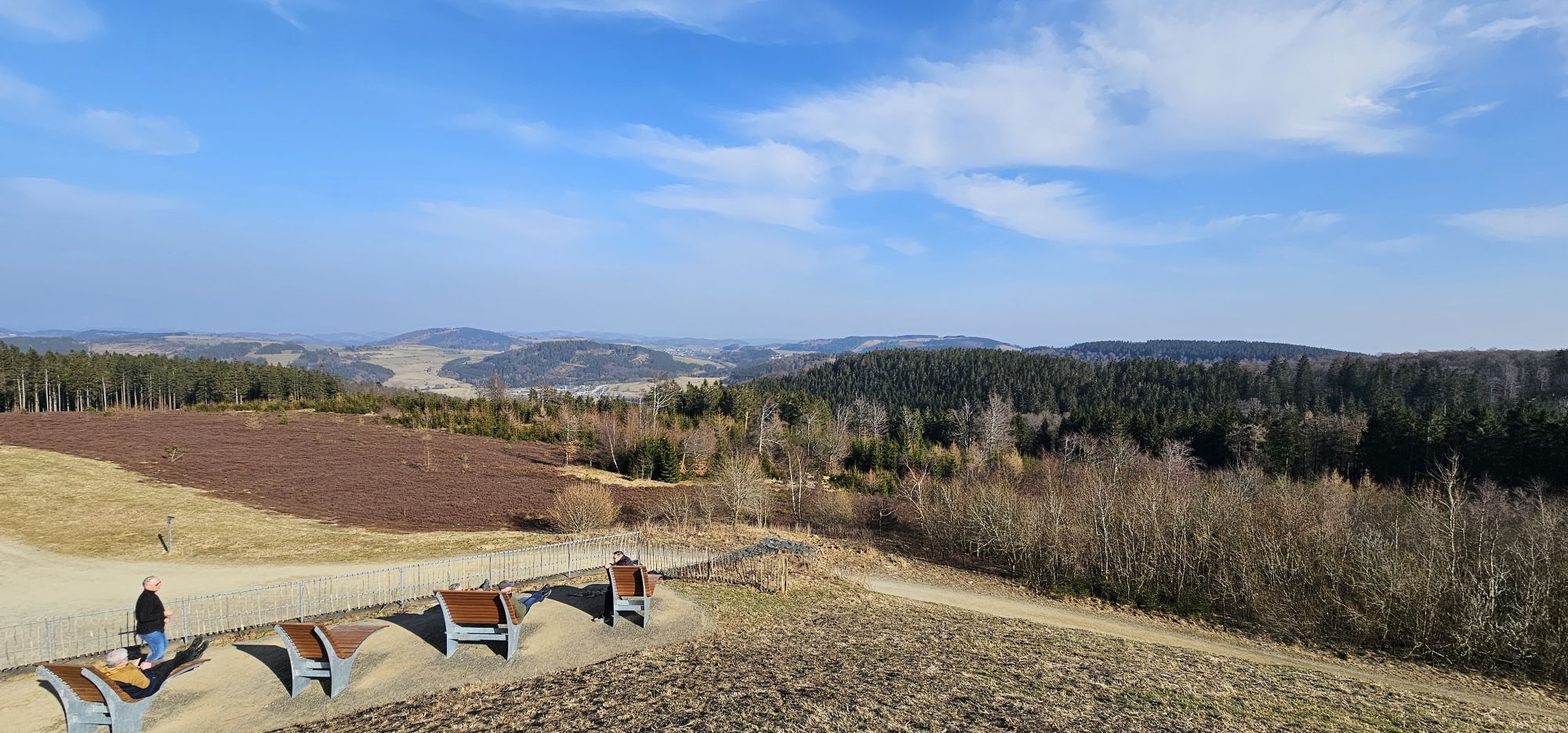
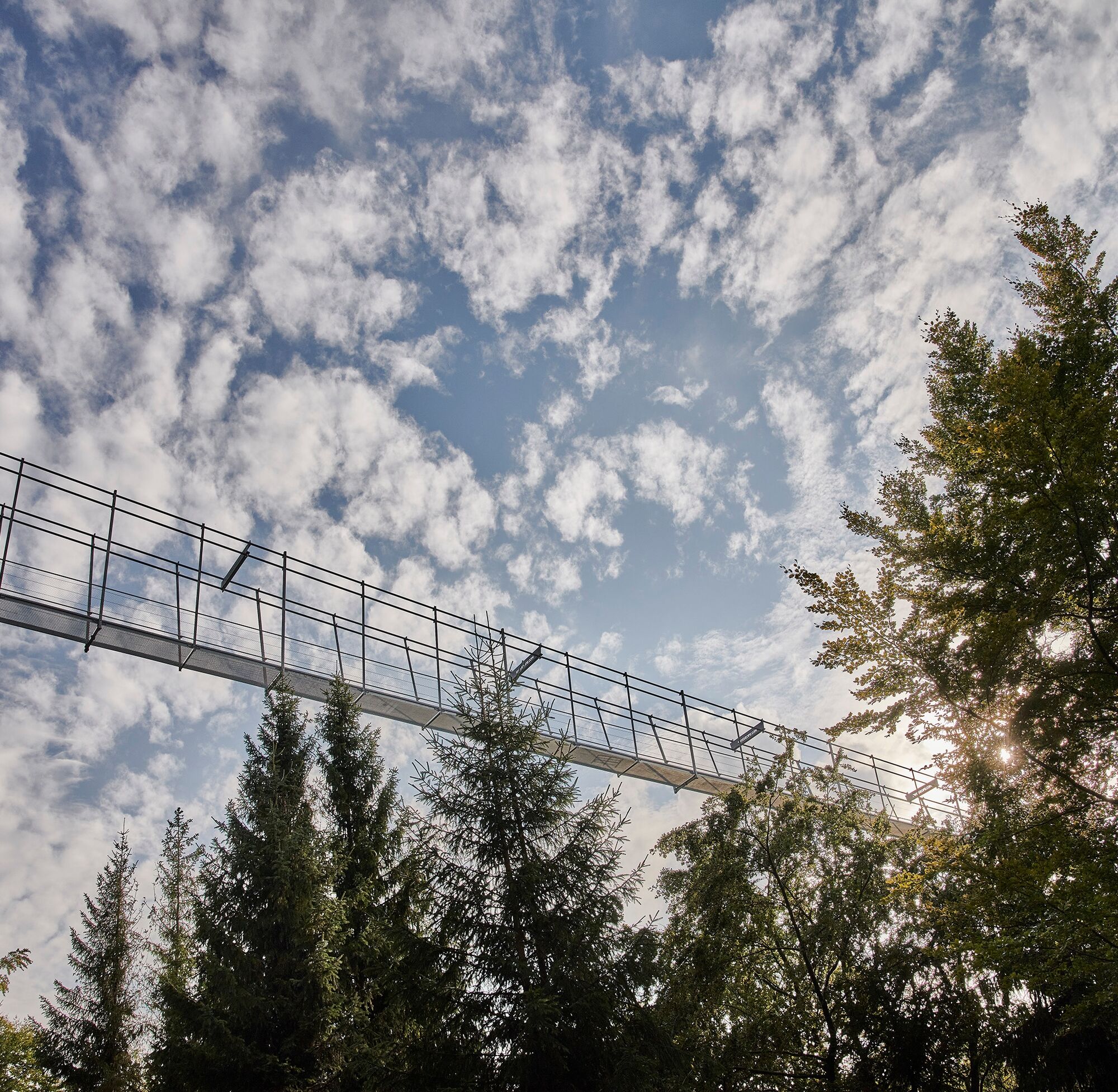
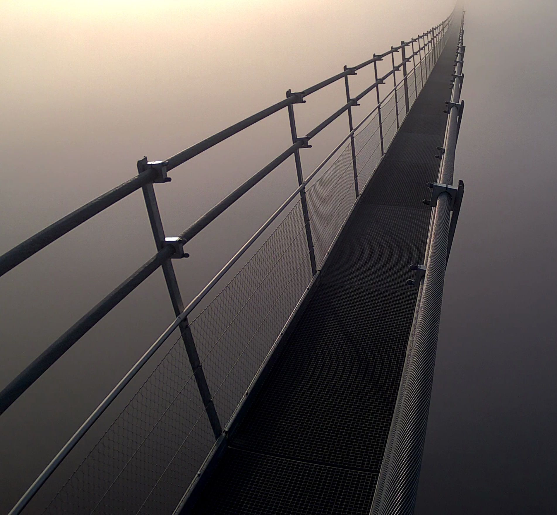
There is also the spectacular Skywalk, one of the longest suspension bridges in the world at 664 m in length. Without obstructing pillars and supports, it offers a magnificent view of the famous sports facility at Mühlenkopf and the beautiful landscape.
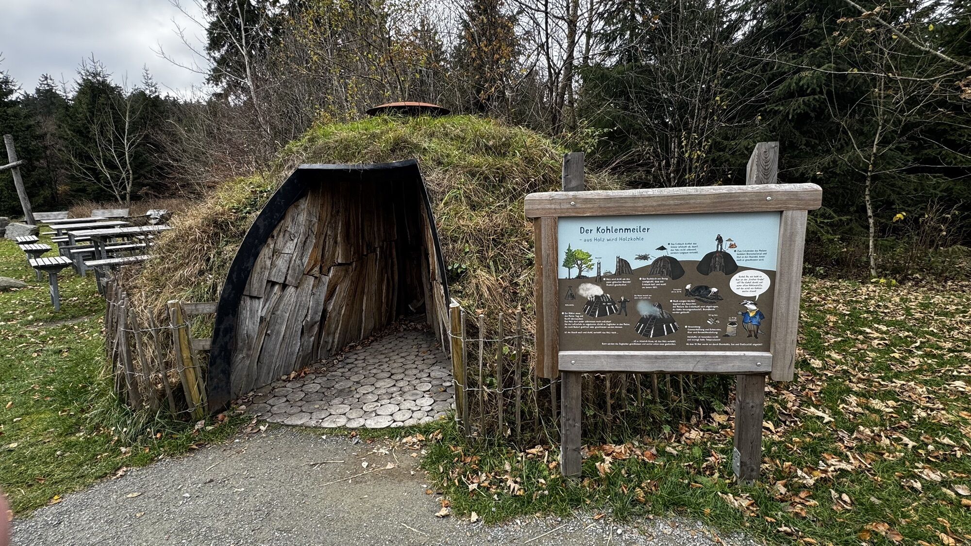
From there, the circular route continues to the Große Grube, past the Kyrillpfad, and finally back to the Hochheideturm. Here, the youngest guests can enjoy the large playground. The 4-kilometer circular route has an elevation difference of about 100 meters and is also suitable for strollers, but not for rollators or wheelchairs. Sturdy footwear is recommended.

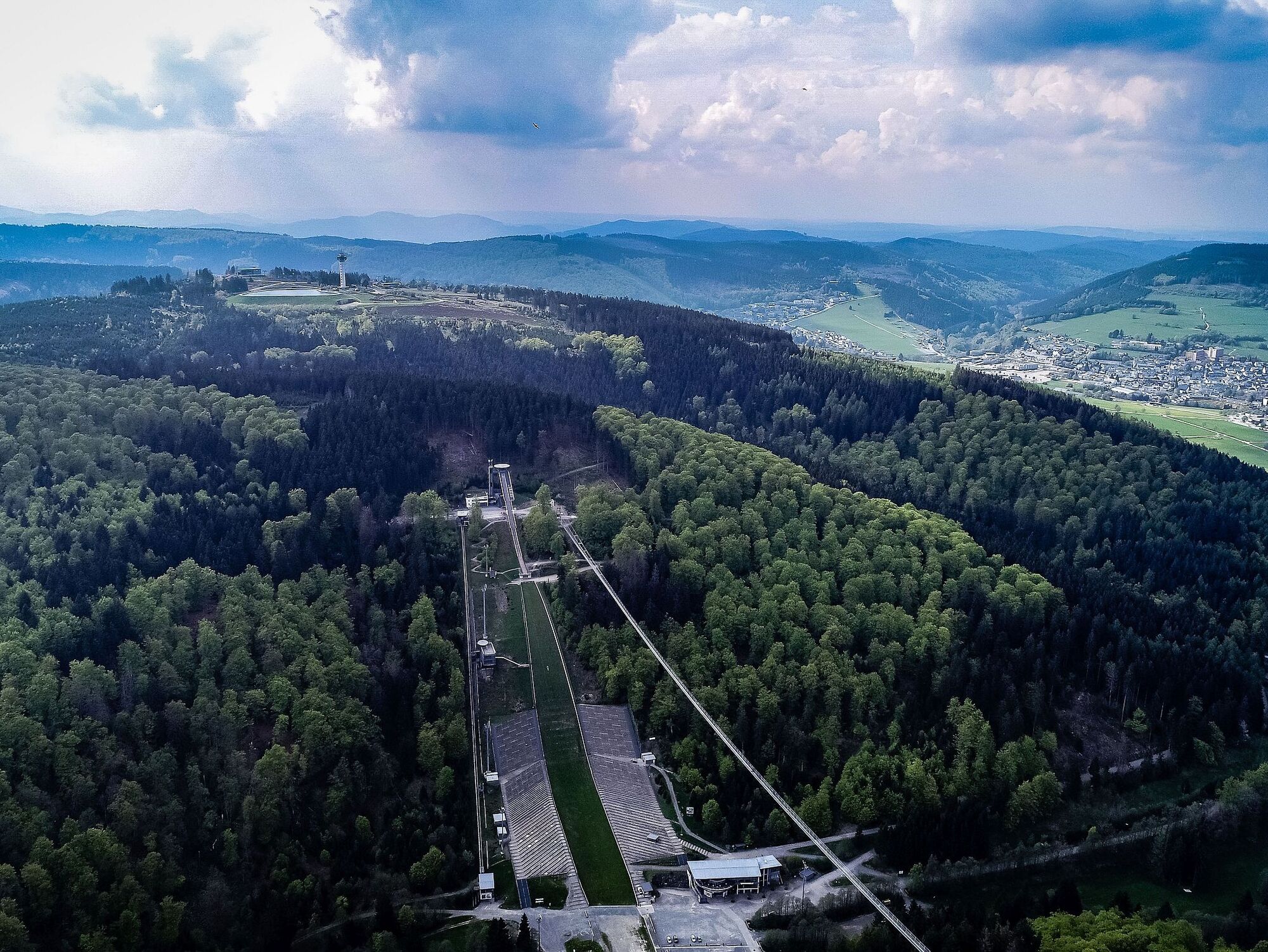
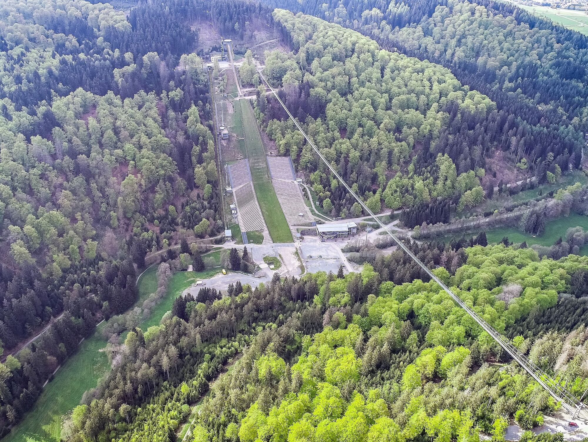
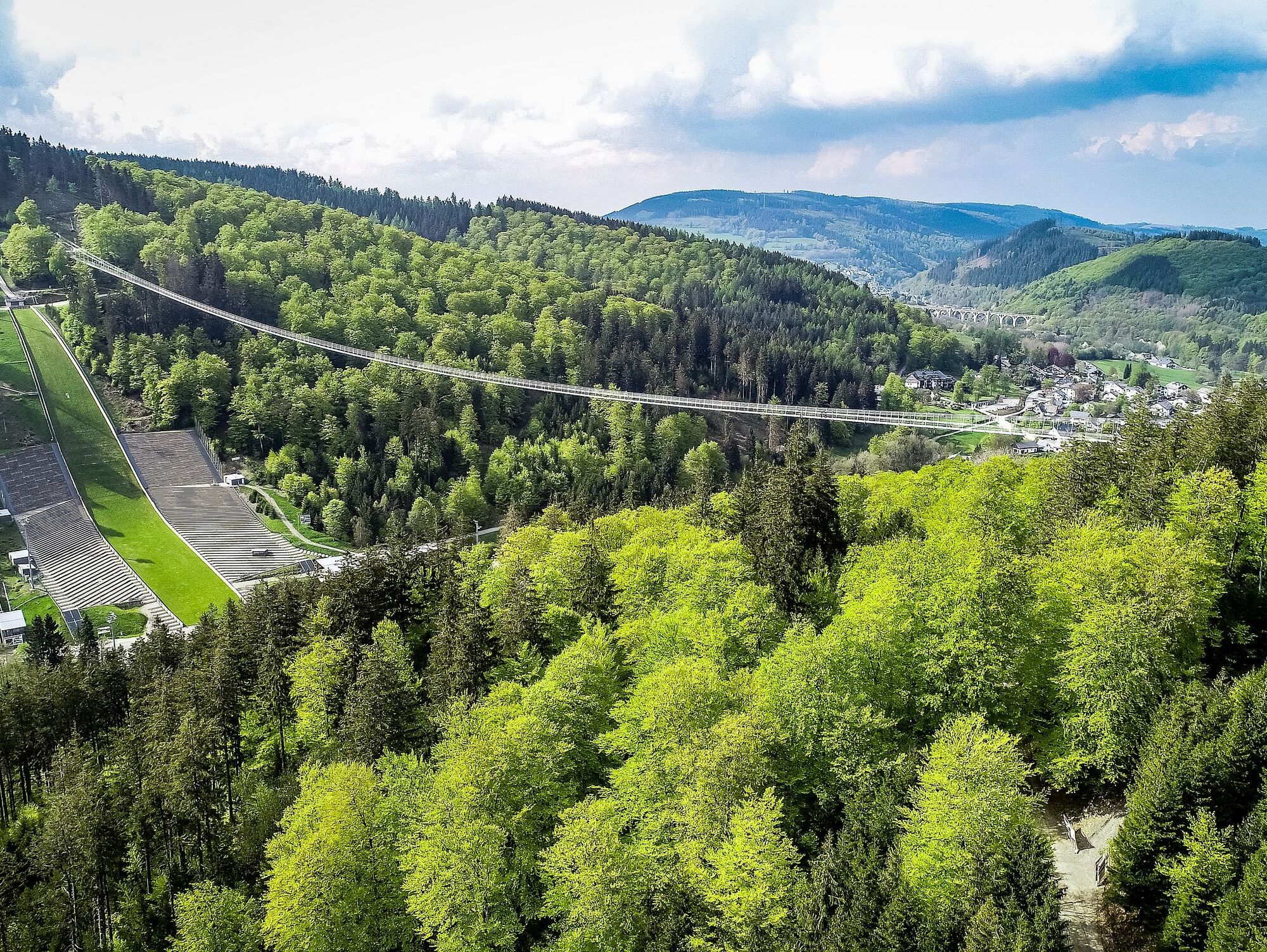
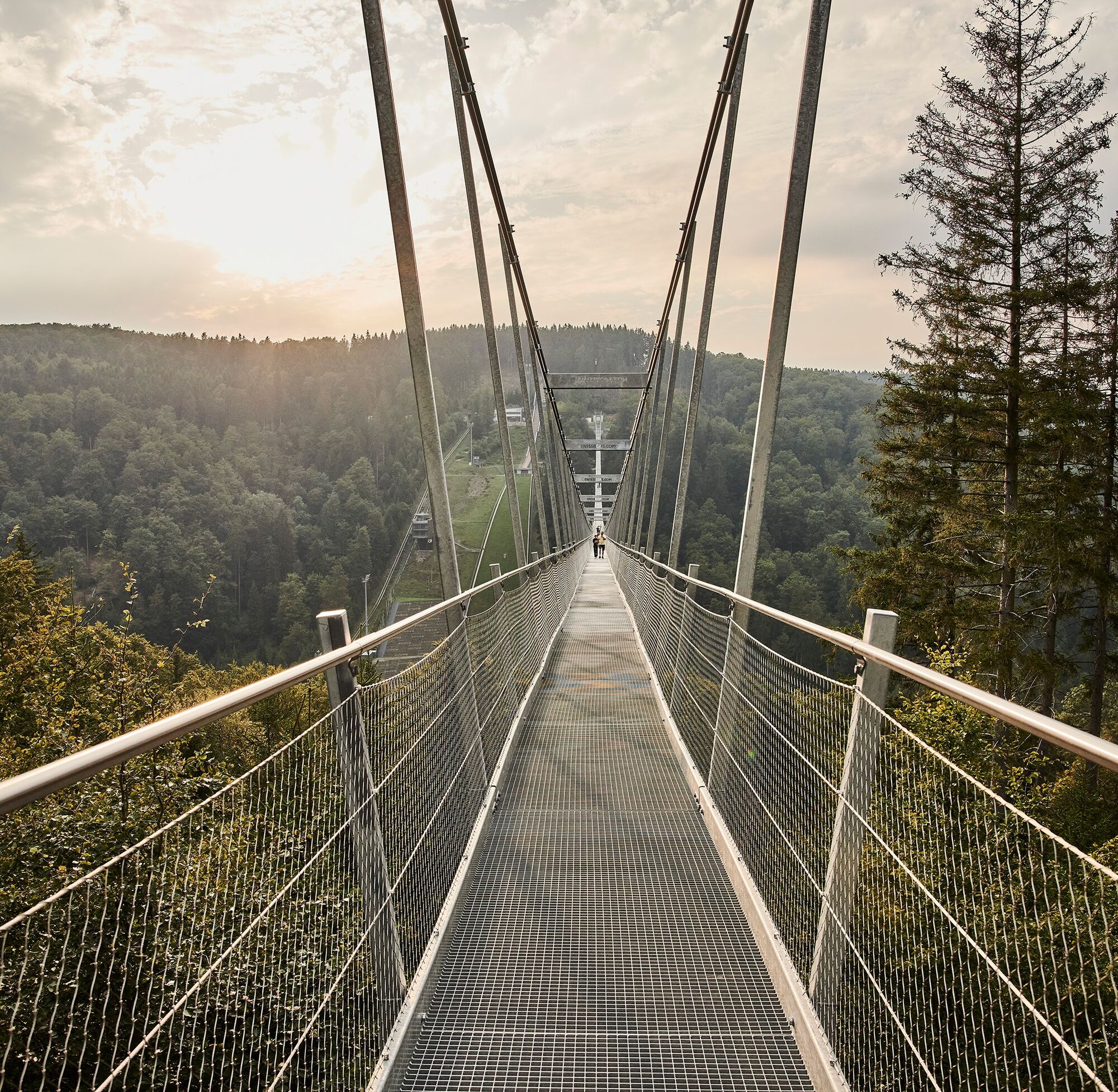
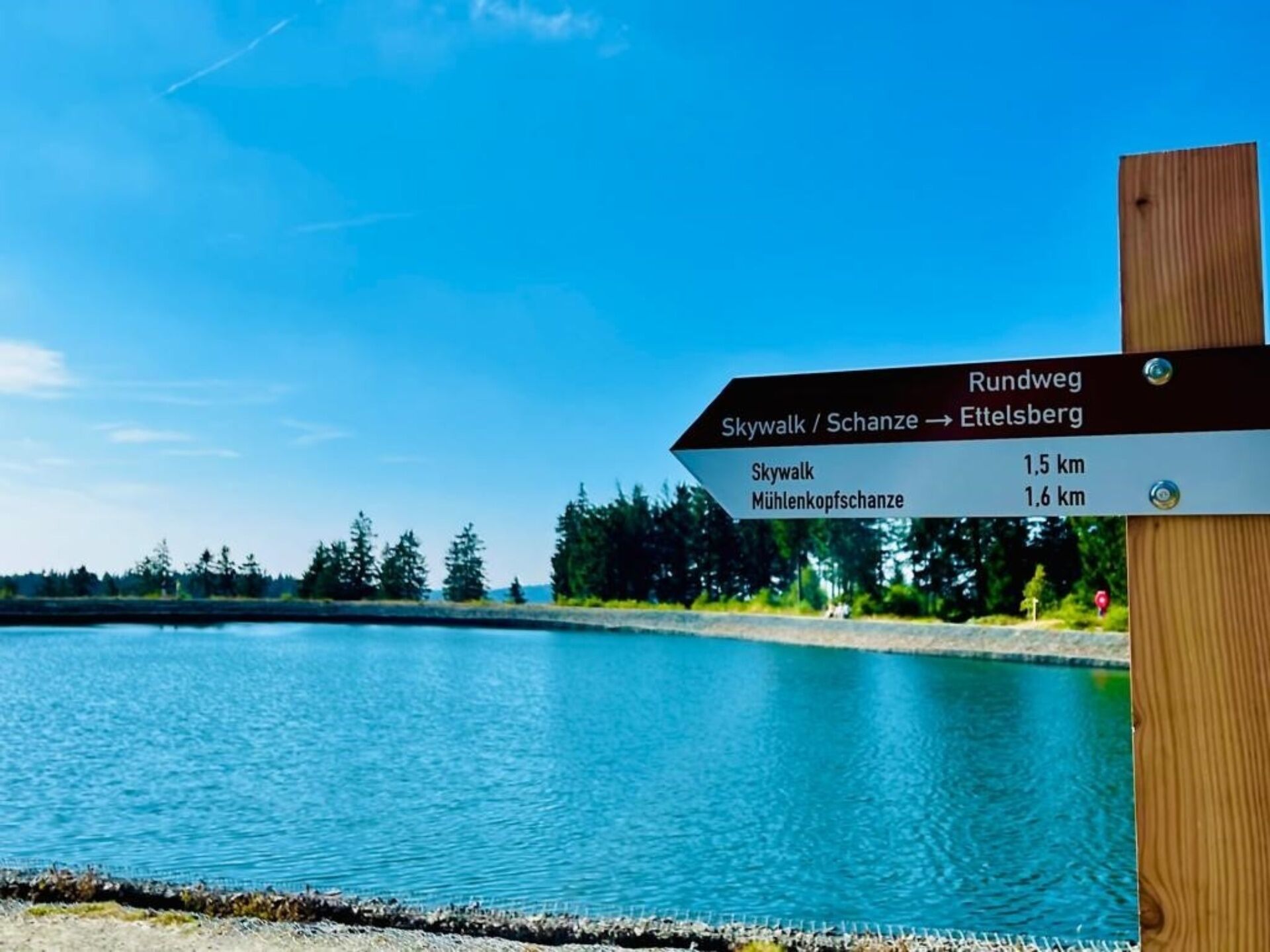

From there, the circular route leads via hiking trail W1 to the Große Grube, past the Kyrillpfad and finally back to Ettelsberg.
Áno
Sturdy footwear, weather-appropriate clothing, packed food, and sufficient fluids (water, tea) are recommended.
Not suitable for rollators or wheelchairs.
By car via the B251 to Willingen (Upland), turn off at the town entrance/exit towards Brilon onto the street "Zur Hoppecke" to the Ettelsberg cable car, Zur Hoppecke 5
Bus/train to Willingen station
Free parking at the valley station of the Ettelsberg cable car, Zur Hoppecke 5, 34508 Willingen (Upland)
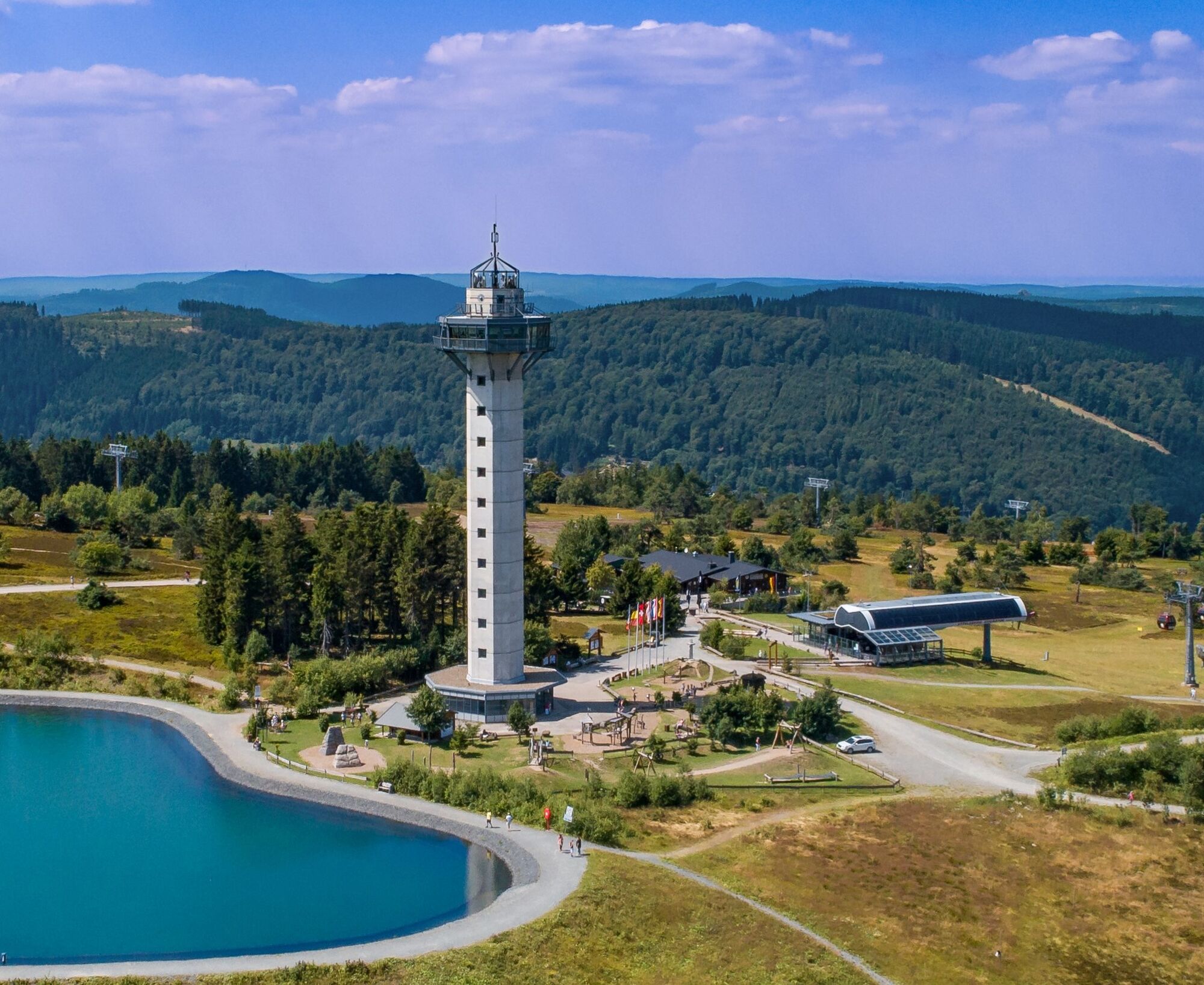
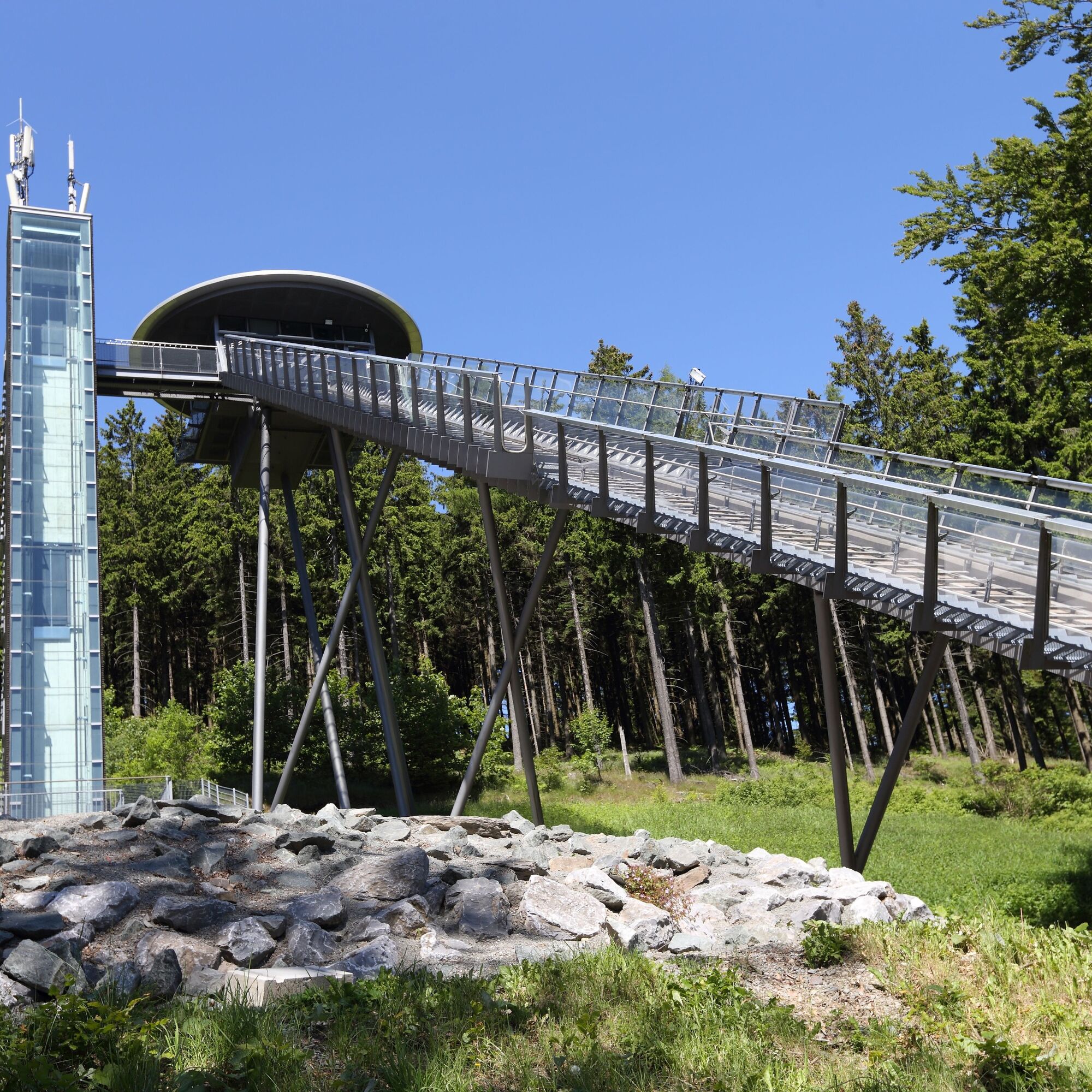
The 62 m high Hochheideturm on the Ettelsberg with its viewing platform at 875 meters is the highest viewpoint in northwest Germany.

Webové kamery z prehliadky
-
Talstation Ettelsberg-Seilbahn
-
Kurhotel Hochsauerland 2010
-
Kurhotel Hochsauerland 2010
-
Kurhotel Hochsauerland 2010
-
Kurhotel Hochsauerland 2010
-
Sternrodt Skilift
-
Hochheideturm - Ettelsberg
-
Skywalk
-
Skywalk
-
Stern Hotel Sauerland
-
Schwalefeld - Cafe Fernblick
-
Willinger Brauhaus
-
Ettelsberg
-
Hochheide
-
Hochheide
-
Hochheide
-
Hochheide
-
Talstation Ettelsberg Seilbahn
-
Ettelsberg Seilbahn Bergstation/ Hochheideturm
-
Sesselbahn Ritzhagen Berg
-
Mountainbike-Strecke K1
-
K1 Gipfelkreuz
-
Bikepark (Sommer) / Skipiste an K1-Hütte (Winter)
-
Spielplatz, Bergsee, K1-Gipfel
-
Spielplatz am Hochheideturm
-
Ettelsbergplateau
-
Ettelsberghütte
-
Bergstation Ritzhagen
Získajte prehľad
Vždy naživo na mieste s viac ako 9 500 webovými kamerami. bergfex Ako používateľ Pro si teraz môžete pozrieť príslušné webové kamery pre mnohé zájazdy v aplikácii zájazdy z. Môžete si tak priamo prezerať aktuálne podmienky.

Obľúbené výlety v okolí
-
4,7
Bruchhauser Steine B1
strednáTuristika 11,8 km -
4,5
Bruchhausener Steine
ťažkéTuristika 5,15 km -
5,0
Der "Fabelhafte Elfensteig" in Winterberg-Züschen
Turistika 4,45 km -
4,8
Rundwanderung Diemelsee
svetloTuristika 8,54 km -
5,0
Winterberg - rund um den Kreuzberg
svetloTuristika 10,9 km -
5,0
Rundwanderung Ruhrquelle Winterberg
svetloTuristika 3,74 km -
4,0
Willingen (W8)
strednáTuristika 12,9 km -
5,0
Rothaarsteig-Spur - Grönebacher Dorfpfad
strednáTuristika 10,6 km -
5,0
Willingen (W6)
strednáTuristika 12,9 km -
Winterberger Hochtour
ťažkéTematická trasa 90,7 km
Turistika a stopovanie


Nenechajte si ujsť ponuky a inšpiráciu na ďalšiu dovolenku
Vaša e-mailová adresa bol pridaný do poštového zoznamu.





