







Premium route P9 Wacholderpfad Roßbach

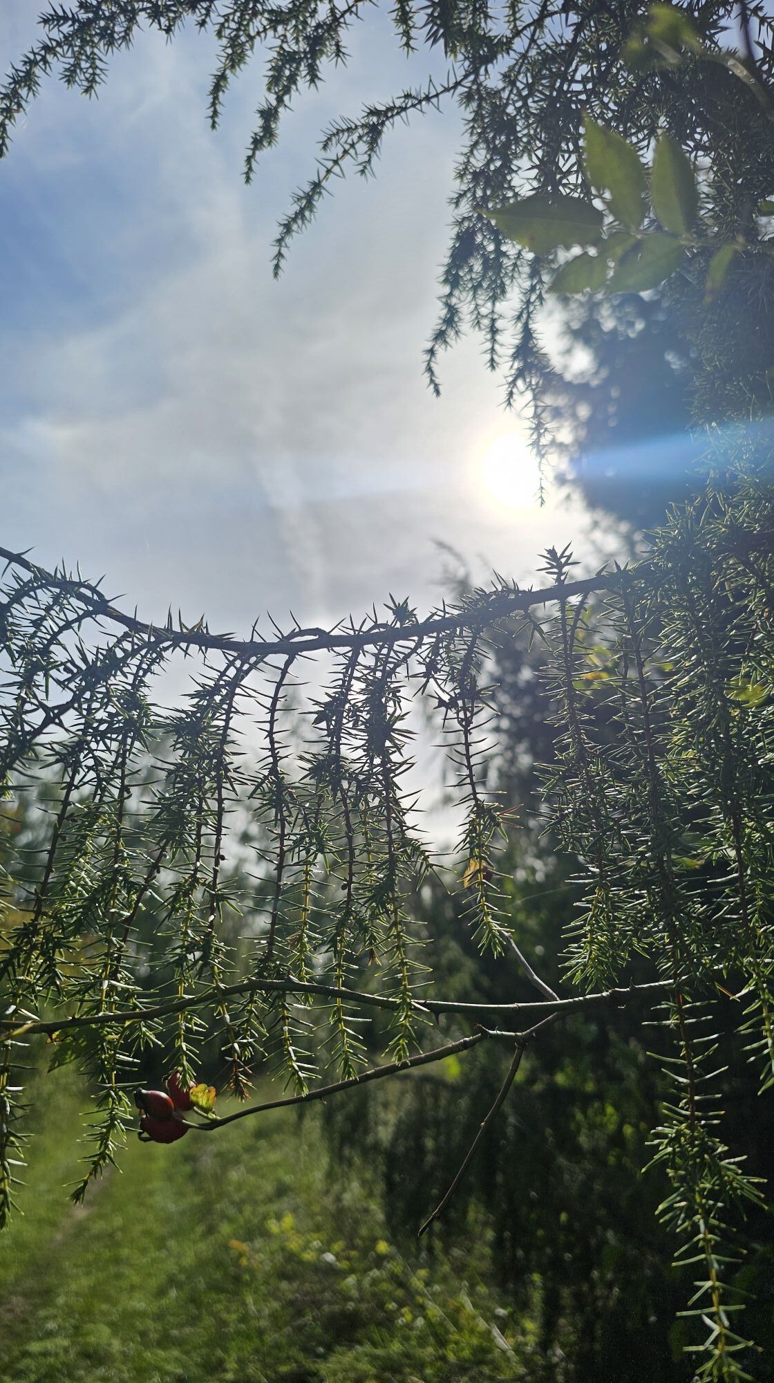
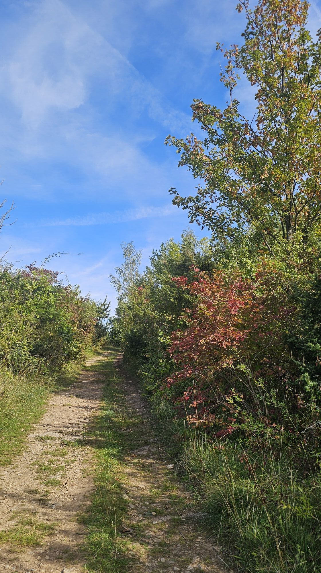
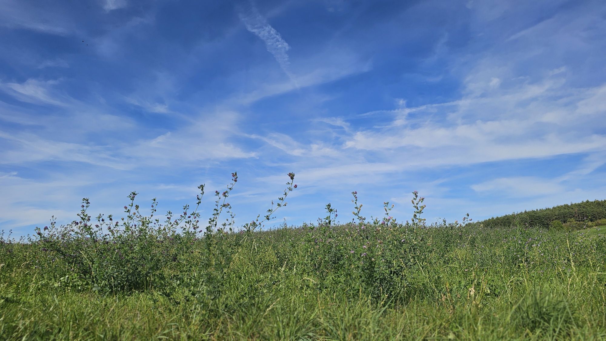
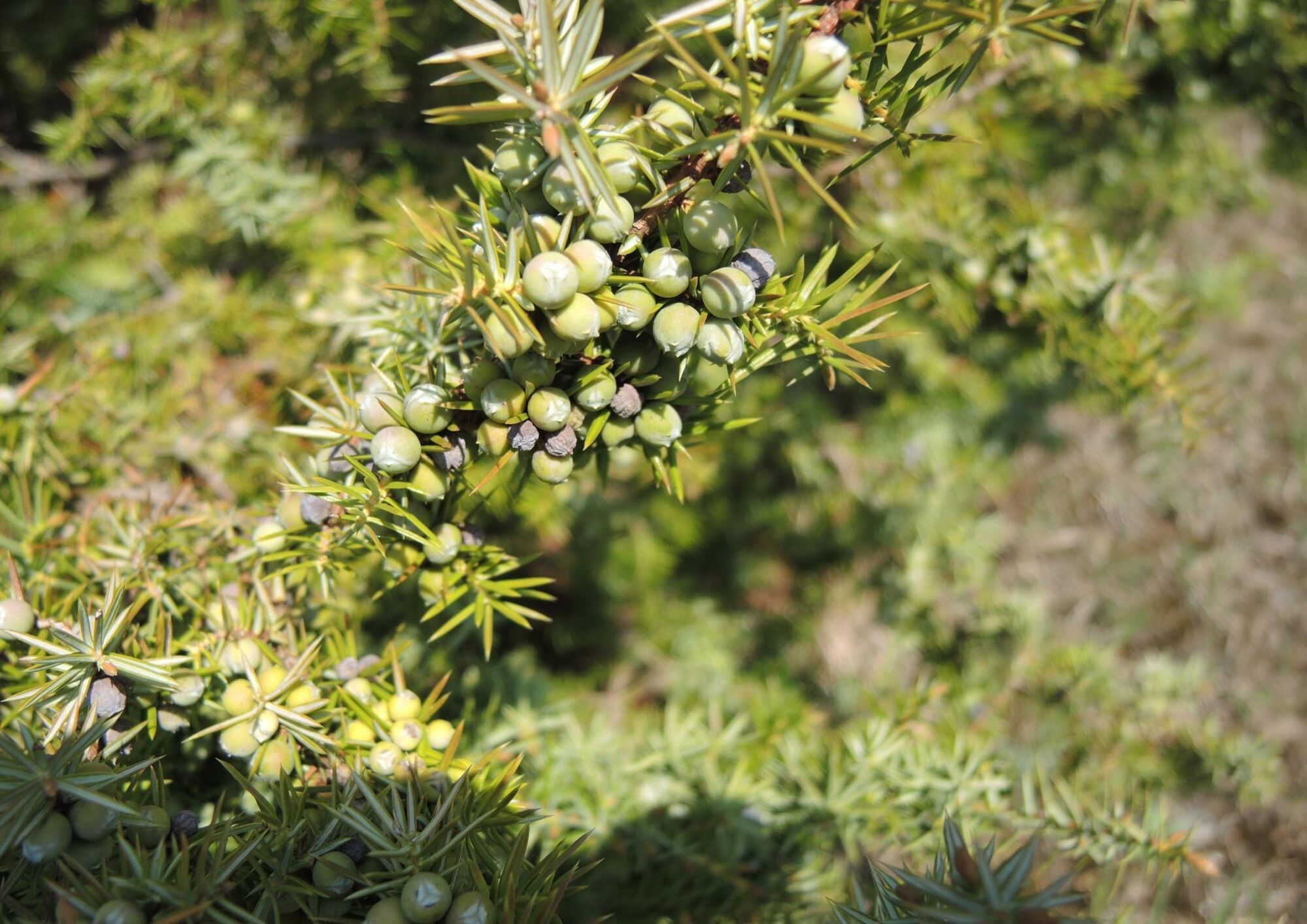
A 12 km circular route, predominantly through open land, with juniper heathlands that contain botanical treasures and offer magnificent panoramic views. Plan a detour to the Lost Brook! Here, a brook disappears...
A 12 km circular route, predominantly through open land, with juniper heathlands that contain botanical treasures and offer magnificent panoramic views. Plan a detour to the Lost Brook! Here, a brook disappears into the ground, with it being unknown so far whether and where it emerges again. Scientifically, such sinking spots are called stream swallows.
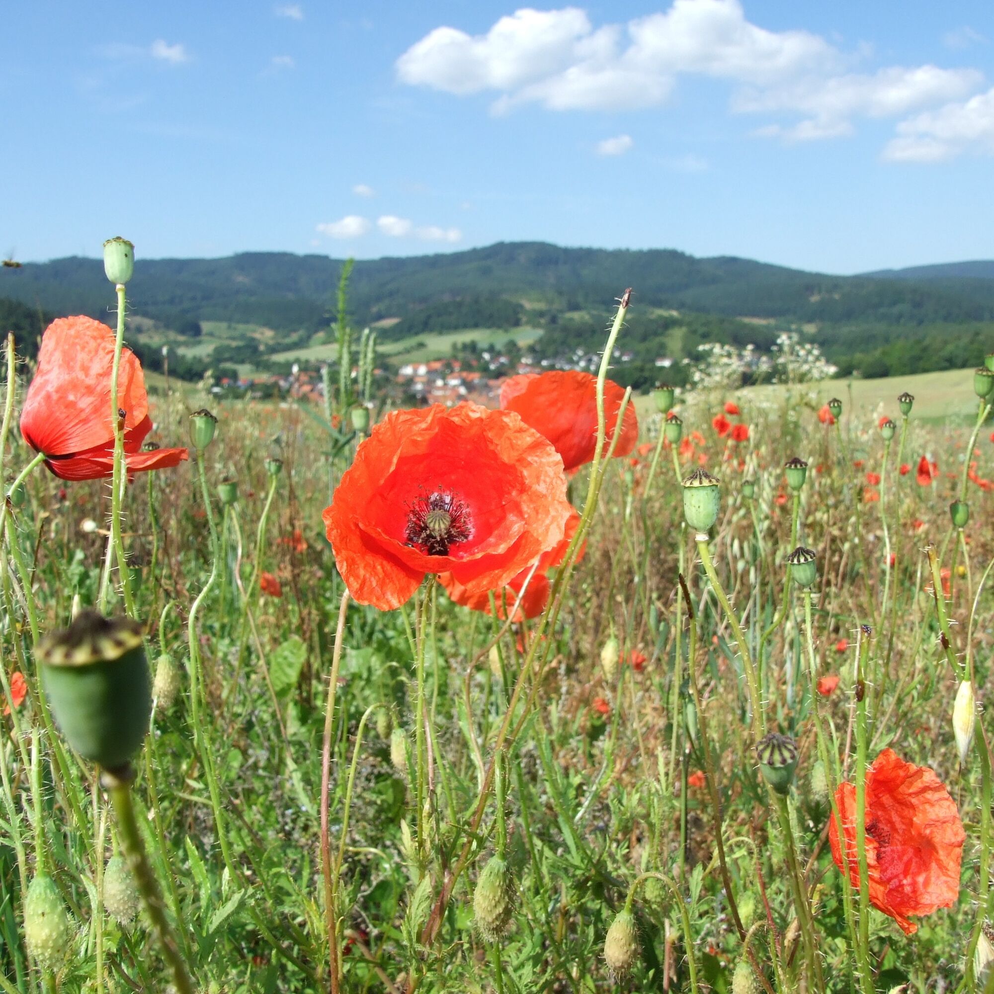
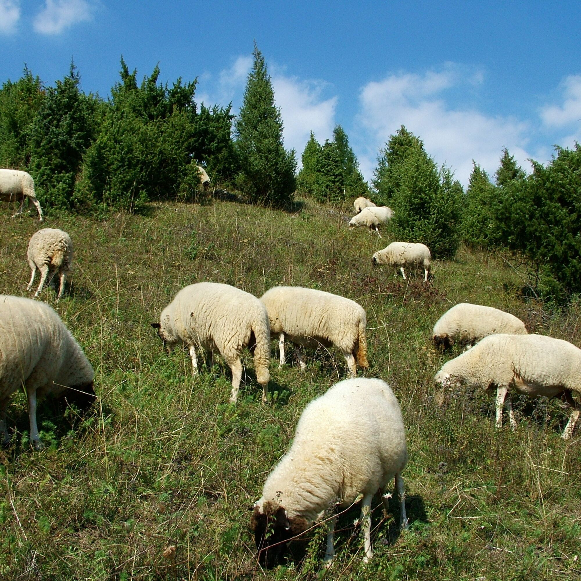
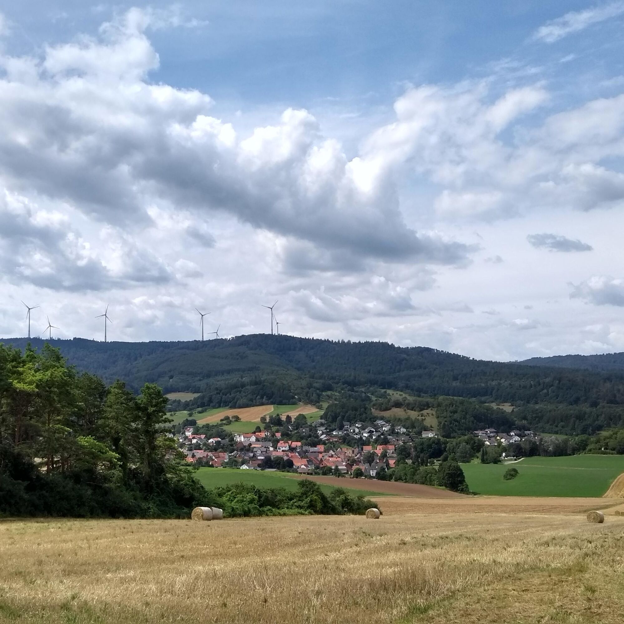
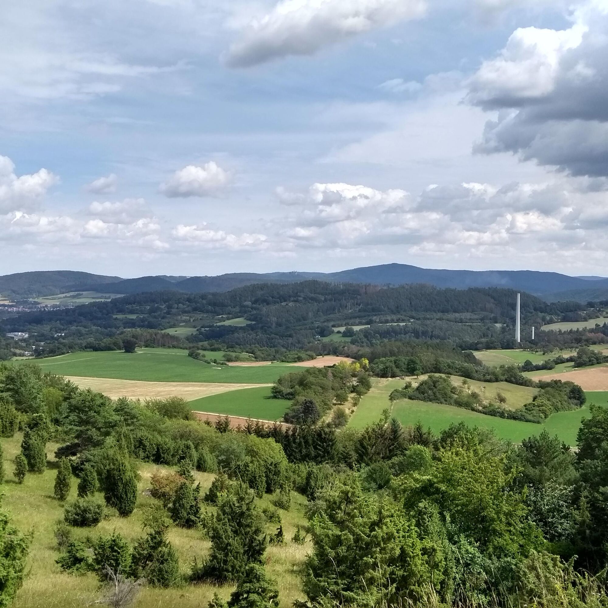
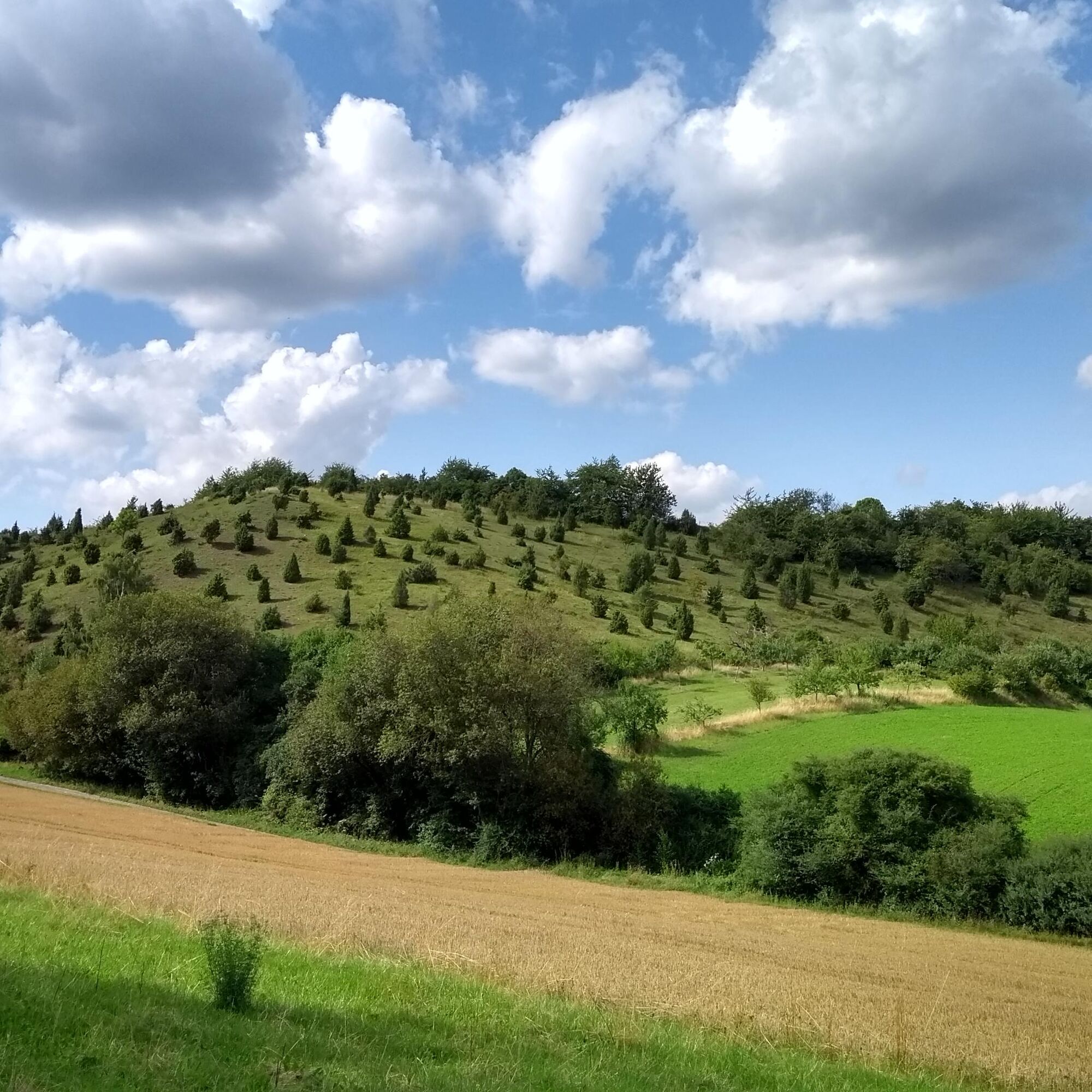

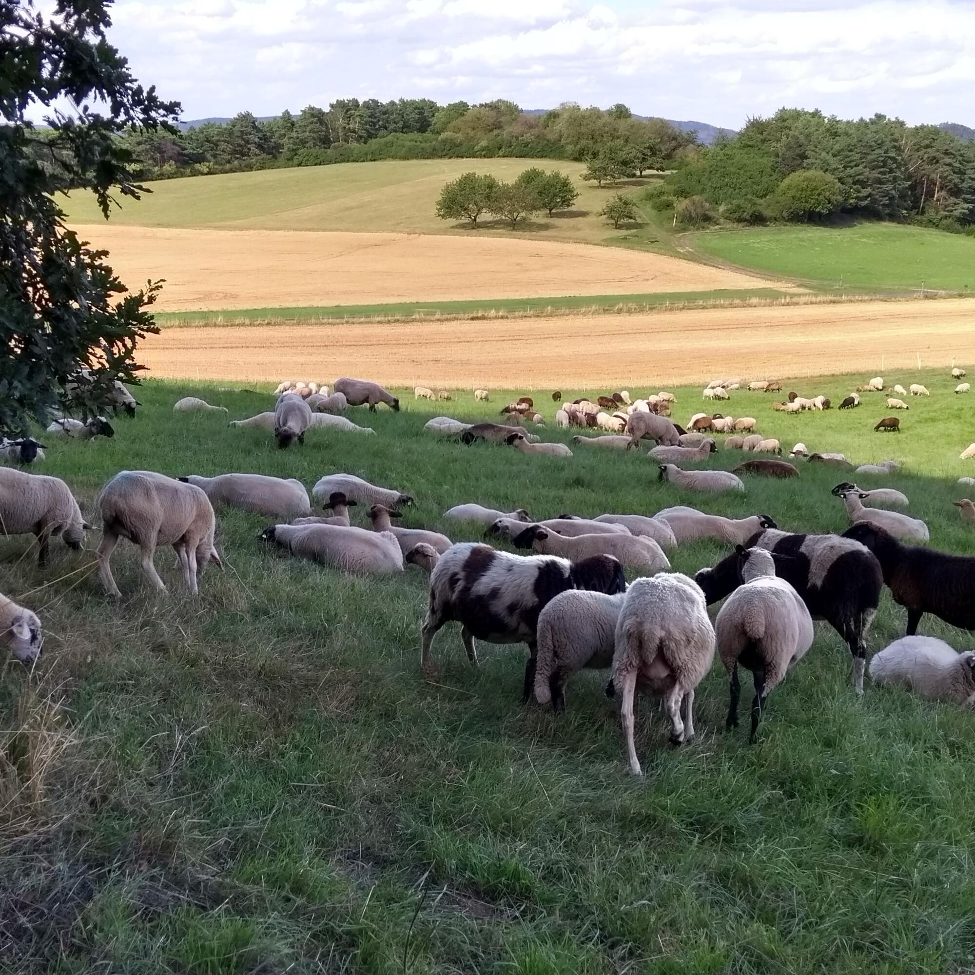
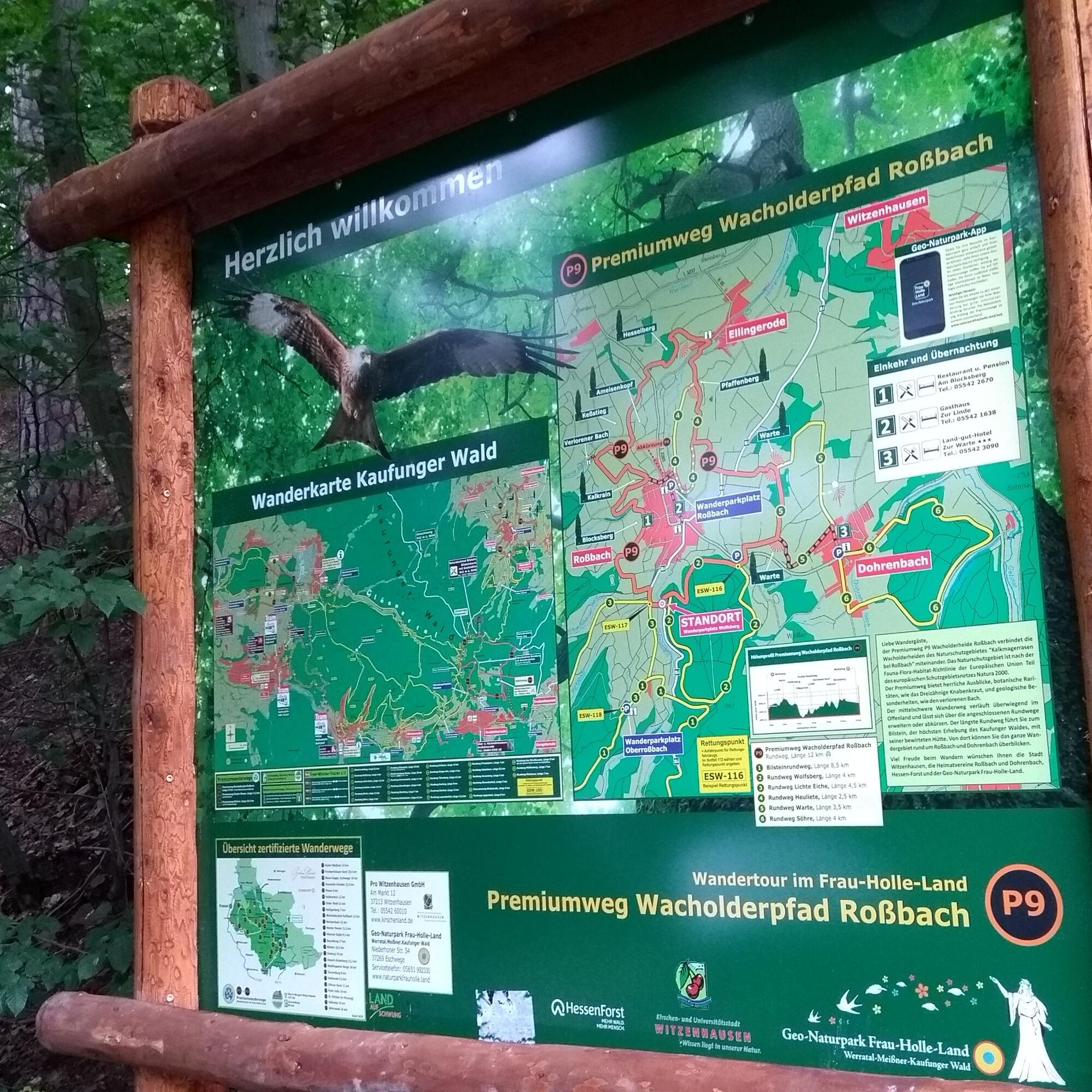
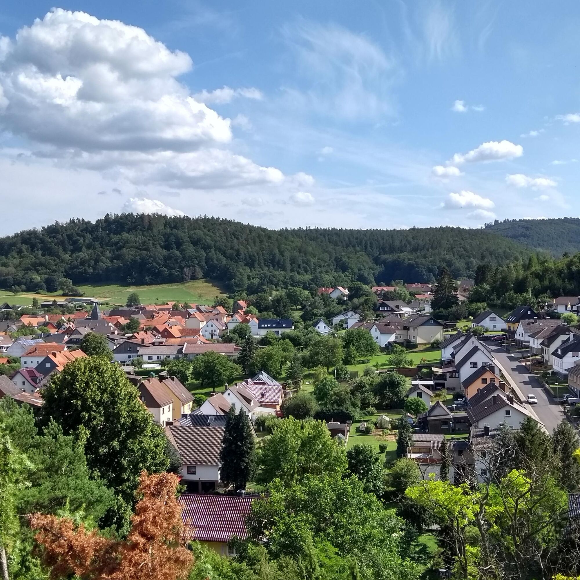
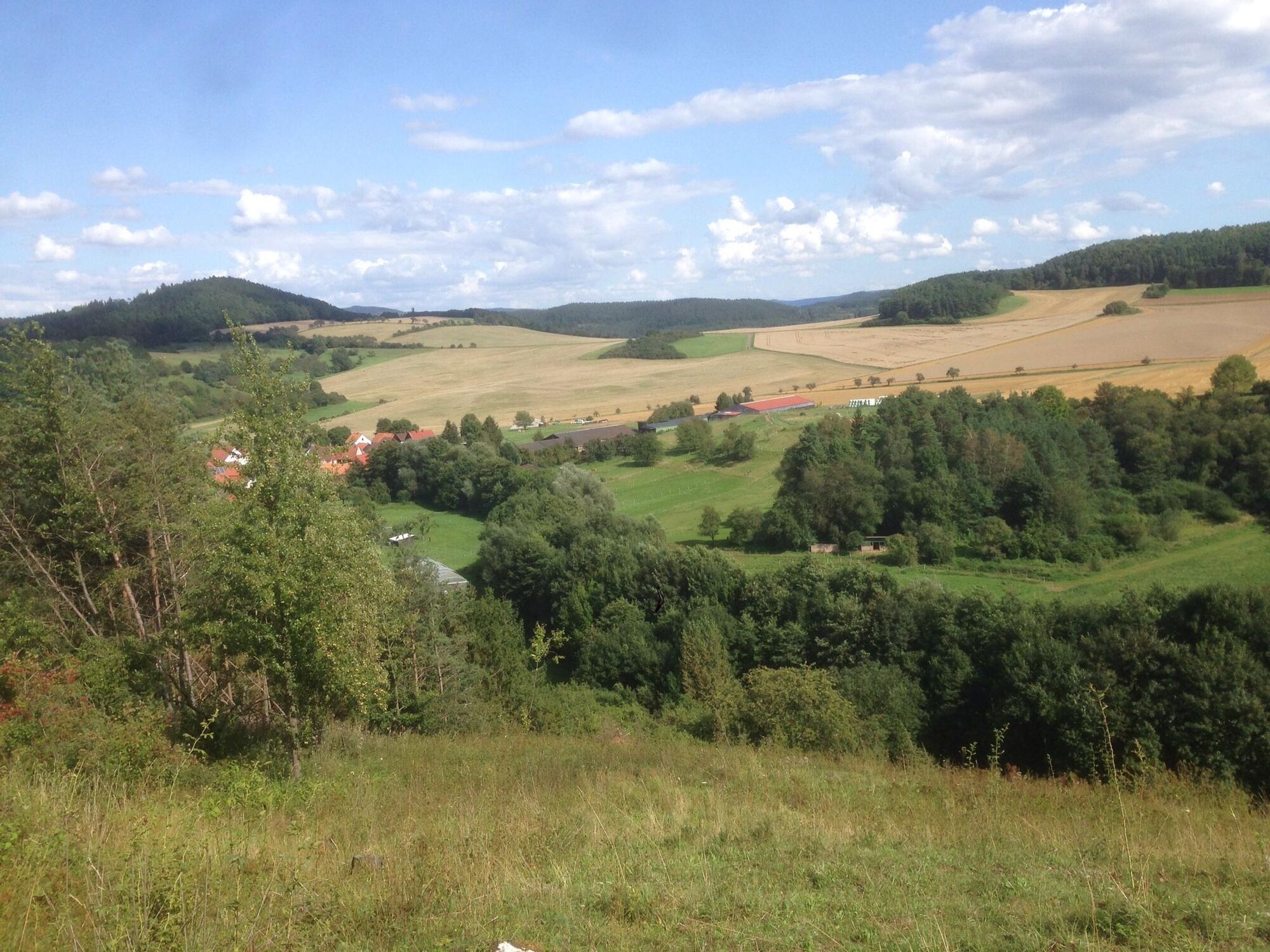
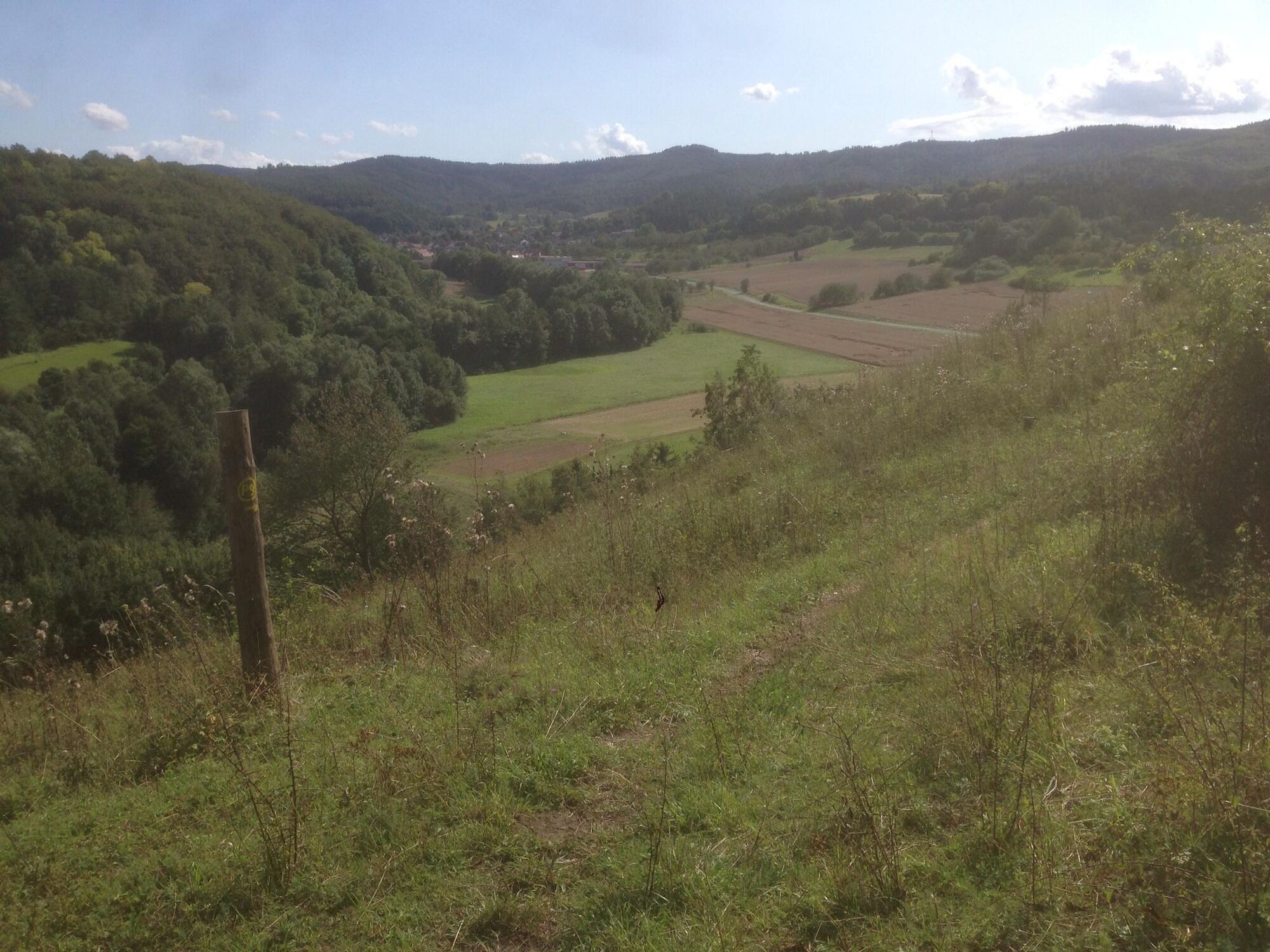
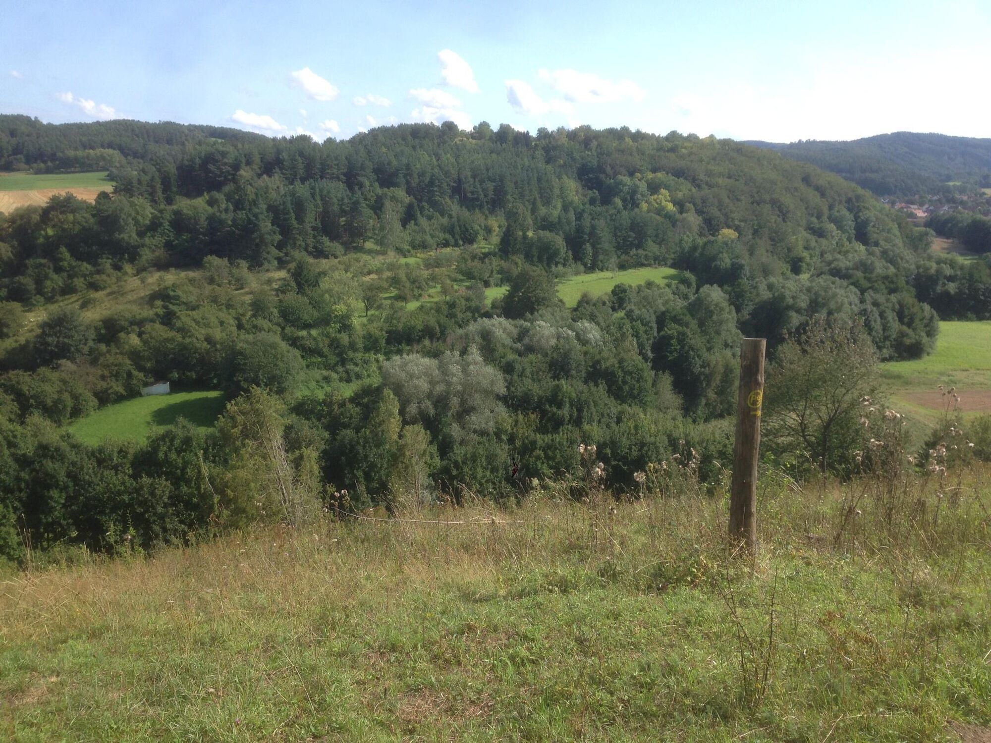
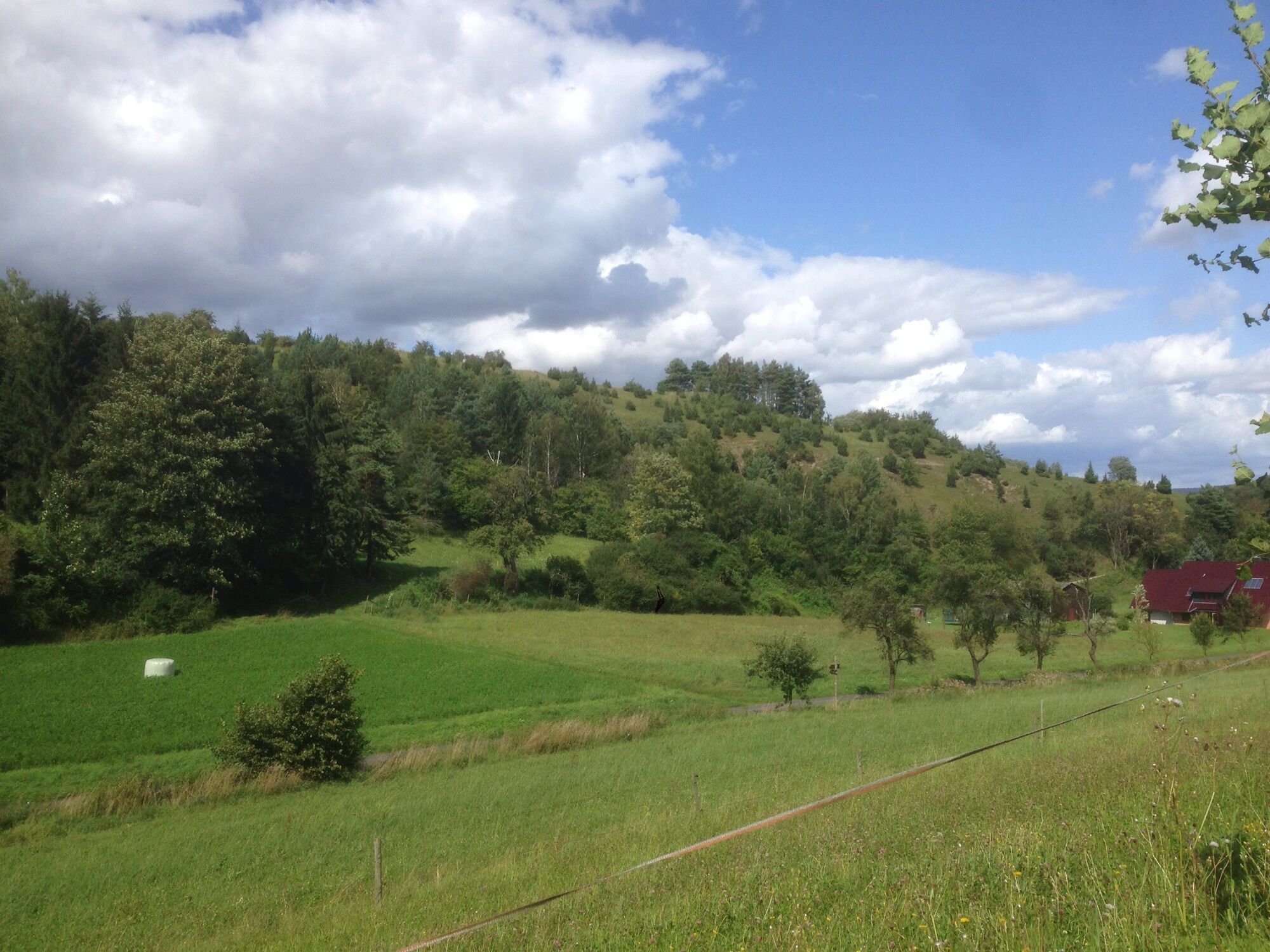

The P9, which runs largely through open land, connects the five subareas of the Kalkmagerrasen nature reserve near Roßbach. Wonderful views and a wealth of natural beauties, such as the three-toothed orchid, fly orchid, and giant mosquito orchid, line your path in May / June. From the parking lot in the Witzenhausen district of Roßbach, you take a connecting path to P9; after a short time, you reach the first viewpoints. The path leads you with constant ups and downs to the edge of the village Ellingerode and then ascends to Hesselberg. Once at the top, you are rewarded with a distant view south over Roßbach to the Kaufunger Forest with Bilstein. The path continues back through meadows, cherry plantations, and fields with a detour past the Lost Brook towards Roßbach. Here you can shorten your route and return to the town or continue following the route. Or you can extend your route by using the P25 Kleinalmerode. Further on, you can refresh your feet at a water-treading station and pass a beautiful section through the forest at Wolfsberg. Finally, you reach the lookout with views down to Roßbach and Witzenhausen. Then the path leads through fields with rare arable wild herbs back to the starting point.
Food and drink:
Restaurant & Pension Am Blocksberg, Am Blocksberg 1, 37216 Witzenhausen Roßbach, Tel. 05542 2670, www.amblocksberg.de
Accommodation directly on the route:
Zur Linde, guesthouse, Untere Bachstr. 4, 37216 Witzenhausen-Roßbach, Tel. 05542 1638
Hotel Zur Warte, Warteweg 2, 37216 Witzenhausen-Dohrenbach, Tel. 05542 3090, www.hotelzurwarte.de
Restaurant & Pension Am Blocksberg, Am Blocksberg 1, 37216 Witzenhausen Roßbach, Tel. 05542 2670, www.amblocksberg.de
Other accommodation options: www.kirschenland.de and www.naturparkfrauholle.land
Not far from the route are the well-known youth castle Ludwigstein (youth hostel with history), Berlepsch Castle (gastronomy and castle tours), and the treehouse hotel Robins Nest.
Áno
Moderate difficulty route, sturdy hiking boots recommended.
Important information on current restrictions on our hiking trails (naturparkfrauholle.land)
Via federal road 451
Route planner of the North Hessian Transport Association: www.nvv.de
Bus line 217, stop Witzenhausen-Roßbach
Two hiking parking lots are equipped with information boards and are free to use. Roßbach parking lot, Untere Bachstr.; Dohrenbach parking lot. Both in 37216 Witzenhausen and with access paths.
Áno
Information on accommodation options, excursion tips, guided hikes, and news from the Geo-Nature Park Frau-Holle-Land: www.naturparkfrauholle.land, Tel. 05657 64499-0 or 0561 1003-1382.
You can book an experienced nature park guide here who will accompany you on your route.
At the end of April, you can immerse yourself in cherry blossom everywhere around the cherry and university town of Witzenhausen.
Webové kamery z prehliadky

Obľúbené výlety v okolí
-
4,0
Premium route P1 Hoher Meißner
ťažkéTuristika 13,8 km -
5,0
Premium trail P14 Bilstein
strednáTuristika 9,96 km -
4,0
Premium route P11 Niester Riesen
svetloTuristika 11,6 km -
3,8
Premium route P27 Ludwigstein
strednáTuristika 11,2 km -
5,0
Premium route P2 Frankershäuser Karst
ťažkéTuristika 10,2 km -
5,0
Premium route P25 Kleinalmerode
strednáTuristika 13,4 km -
Premium route P23 Höllental
strednáTuristika 9,89 km -
Premium route P7 Söder Wald
strednáTuristika 15,0 km -
4,0
5th section Werra-Burgen-Steig Hessen
ťažkéTuristika 17,5 km -
1,0
Premium path P8 Heiligenberg Bühlchen
svetloTuristika 7,58 km

Turistika a stopovanie


Nenechajte si ujsť ponuky a inšpiráciu na ďalšiu dovolenku
Vaša e-mailová adresa bol pridaný do poštového zoznamu.





