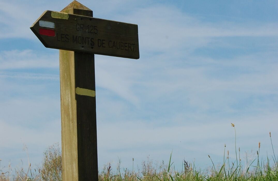
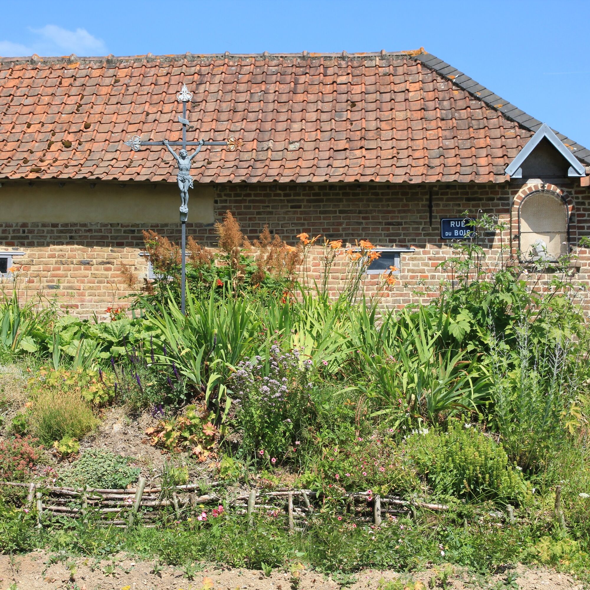
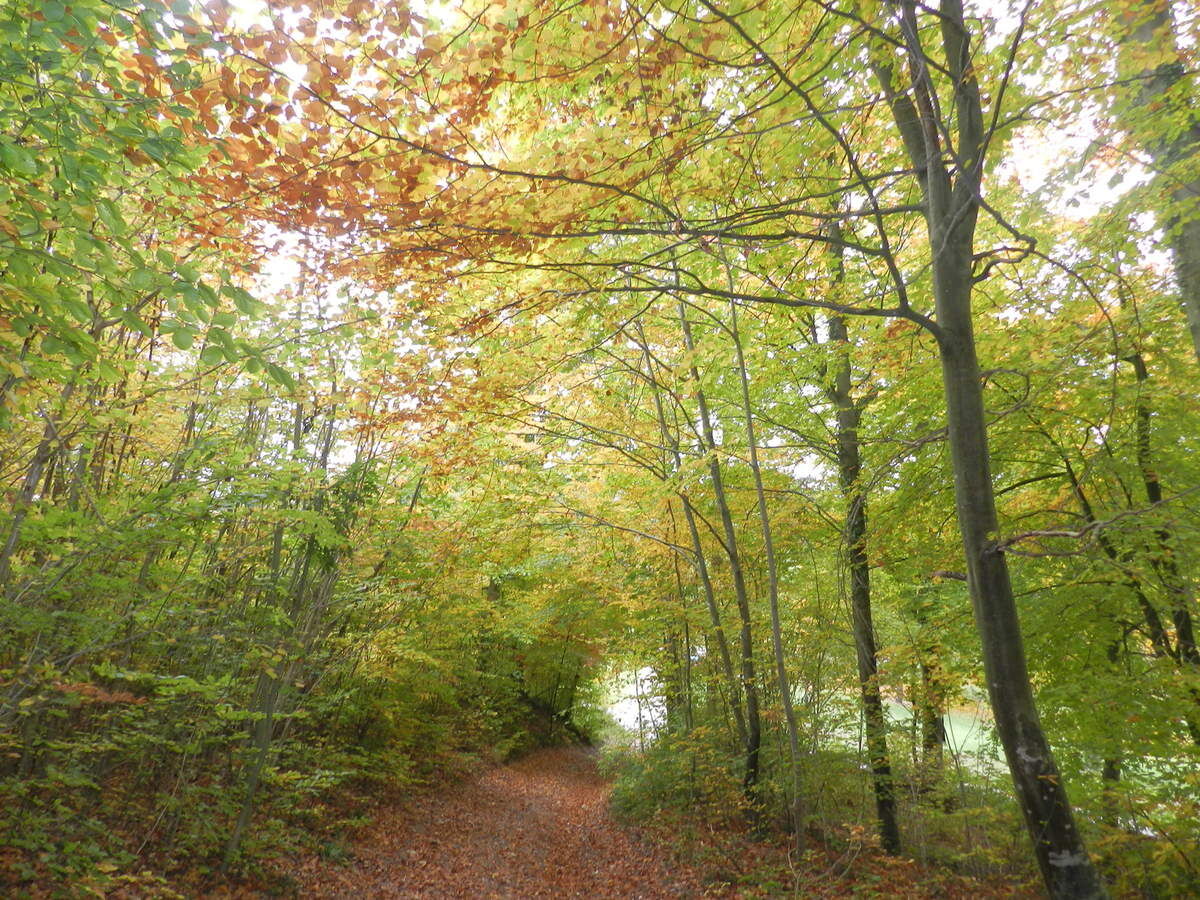
GR125 from Magny-en-Vexin to Saint-Valery-sur-Somme
svetlo
Navigácia na stránke
Navigácia na stránke
Získajte túto prehliadku v mobilnom telefóne
GR125 from Magny-en-Vexin to Saint-Valery-sur-Somme
svetlo
Turistika
255,70
km
Naskenujte kód QR a spustite navigáciu v aplikácii bergfex

Turistika a stopovanie


GR125 from Magny-en-Vexin to Saint-Valery-sur-Somme
svetlo
Vzdialenosť
255,70
km
Trvanie
64:02
h
Ascent
2 900
hm
Hladina mora
6 -
228
m
Stiahnutie skladby
GR125 from Magny-en-Vexin to Saint-Valery-sur-Somme
svetlo
Turistika
255,70
km
Hiking on the GR®125 across the departments of Val d'Oise, Oise and Somme starting from Magny-en-Vexin to Saint Valery-sur-Somme. This long-distance trail connects Île-de-France to the English Channel....
Opis
Hiking on the GR®125 across the departments of Val d'Oise, Oise and Somme starting from Magny-en-Vexin to Saint Valery-sur-Somme.
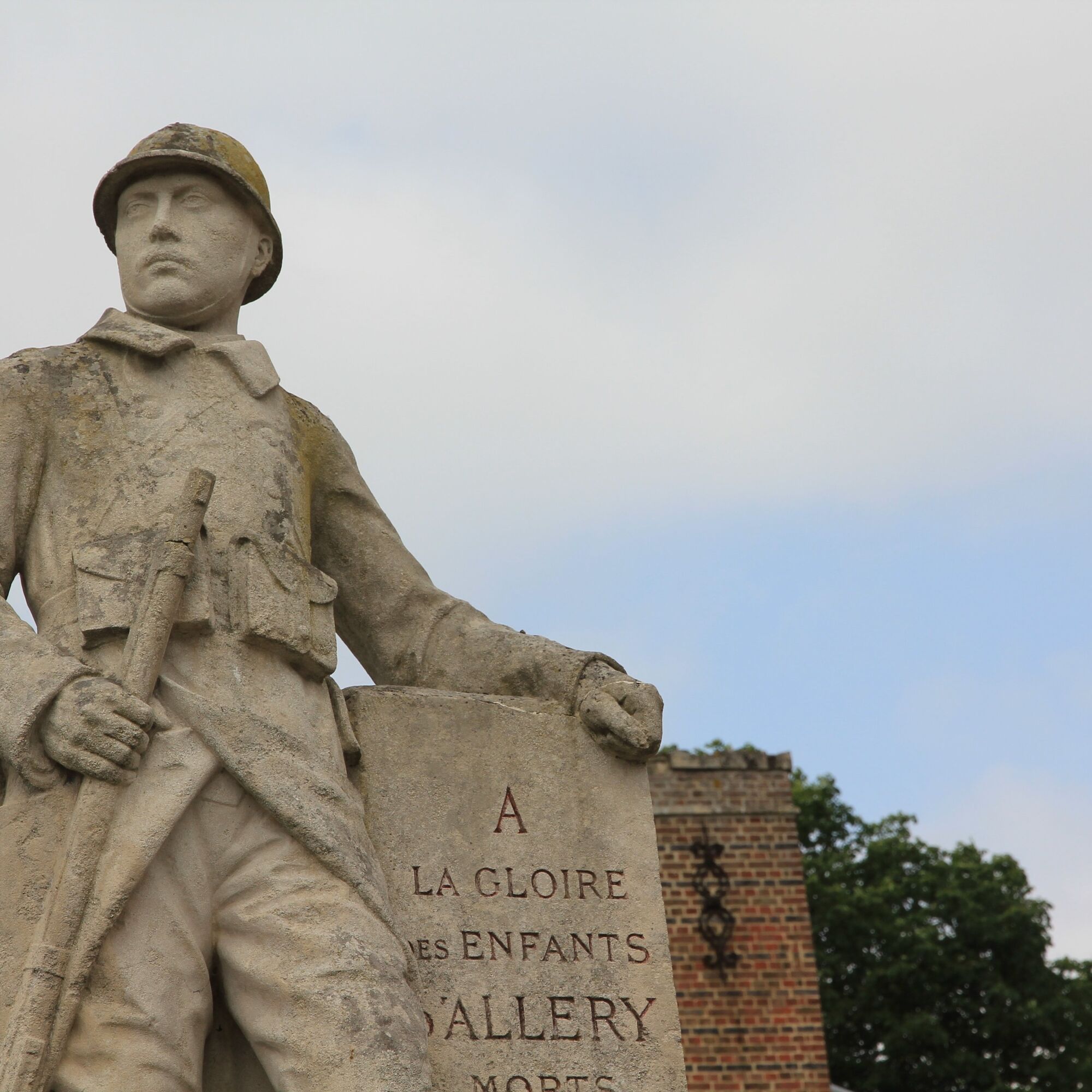
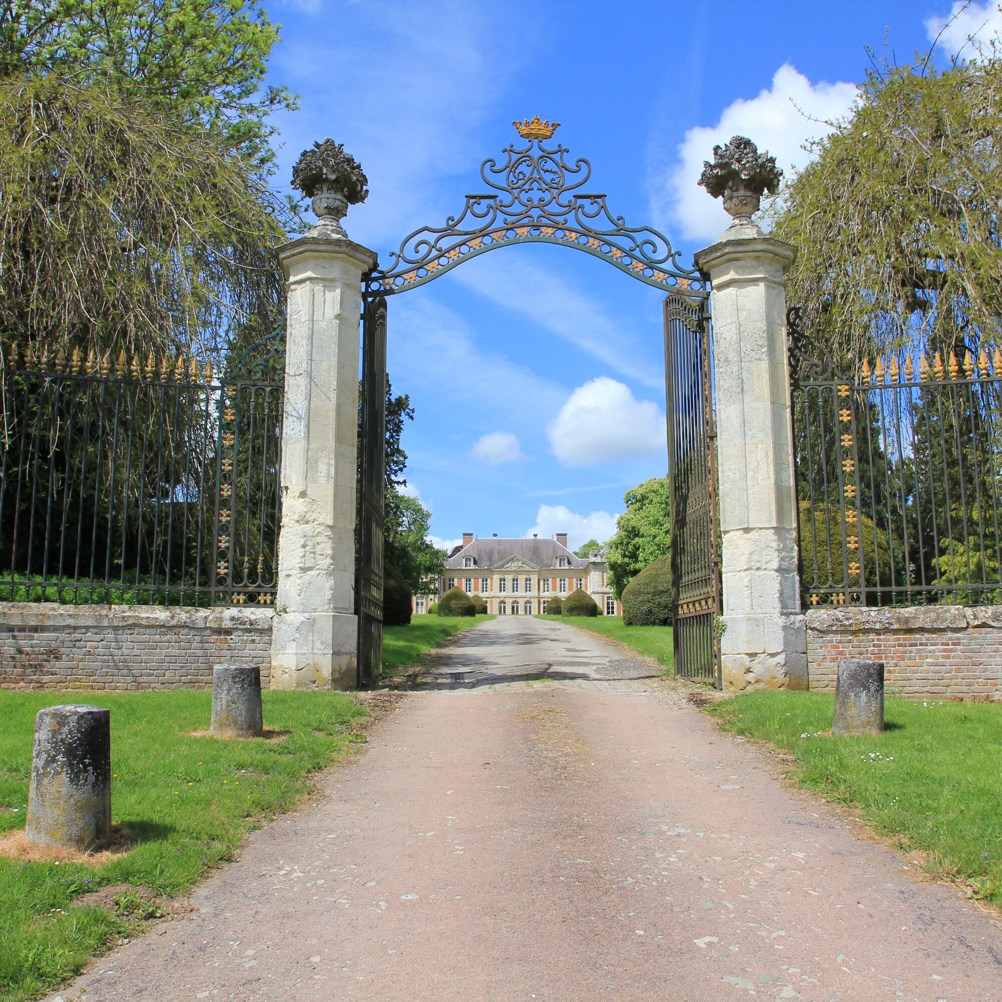
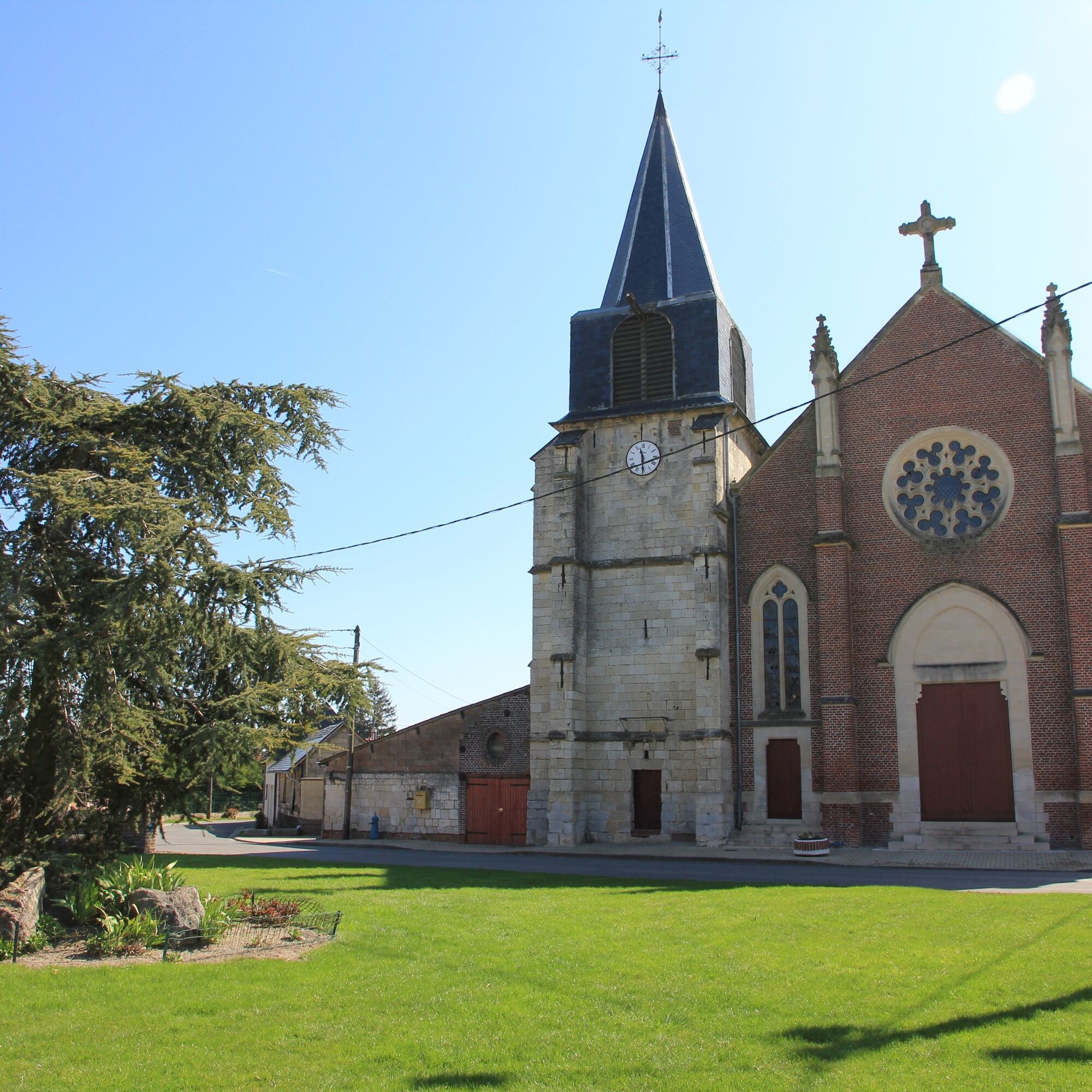
This long-distance trail connects Île-de-France to the English Channel. After the French Vexin and a brief excursion into Normandy, near Gisors, it visits the Bray region, crosses Amiénois and Vimeu before ending in the Bay of Somme.
Autor
Poskytuje Somme Tourisme
Prehliadku GR125 from Magny-en-Vexin to Saint-Valery-sur-Somme zabezpečuje outdooractive.com.

Ďalšie informácie a tipy
Ďalšie informácie
Zatiaľ žiadne recenzie
Obľúbené výlety v okolí
-
The Heights of Poix
svetloTuristika 12,7 km -
The valley of the Parquets
svetloTuristika 17,7 km -
Les Evoissons (Loop B)
svetloCestný bicykel 40,5 km -
The Evoissons (Loop A)
svetloCestný bicykel 46,8 km -
Balcon des évoissons
svetloTuristika 17,1 km -
La montagne de Guizancourt
svetloTuristika 3 km -
Église Saint-Valéry - Église Saint-Médard - Église Saint-Pierre - Caulières
strednáCestný bicykel 95,7 km -
Le Cardinal - Église Saint-Lucien - Église Notre-Dame - Poix-de-Picardie
strednáCestný bicykel 96,8 km -
Grandvilliers - Église Saint-Symphorien - Église Saint-Samson - Église Saint-Arnoult
strednáCestný bicykel 68,2 km -
Sarcus - Chapelle Saint-Pierre et Saint-Paul - Église Saint-Vaast - Église Saint-Denis
svetloŠtrkový bicykel 19,4 km

Turistika a stopovanie

Viac ako 550.000 návrhov výletov, podrobné mapy a intuitívny plánovač trás robia z aplikácie povinnú výbavu pre všetkých nadšencov prírody.

Nenechajte si ujsť ponuky a inšpiráciu na ďalšiu dovolenku
Prihlásiť sa k odberu noviniek
Chyba
Vyskytla sa chyba. Prosím, skúste to znova.
Ďakujeme za vašu registráciu
Vaša e-mailová adresa bol pridaný do poštového zoznamu.
Zájazdy po celej Európe
Rakúsko
Švajčiarsko
Nemecko
Taliansko
Slovinsko
Francúzsko
Holandsko
Belgicko
Poľsko
Lichtenštajnsko
Česko
Slovensko
španielsko
Hrvaška
Bosna a Hercegovina
Luxembursko
Andorra
Portugalsko
Island
Spojené kráľovstvo
Írsko
Grécko
Albánsko
Severné Macedónsko
Malta
Nórsko
Čierna Hora
Moldavsko
Kosovo
Maďarsko
San Maríno
Rumunsko
Estónsko
Lotyšsko
Bielorusko
Cyprus
Litva
Srbsko
Bulharsko
Monako
Dánsko
Švédsko
Fínsko