


Klemens Maria Hofbauer- Pilgerweg
Fotografie našich používateľov
-
 © Matthias DohrmannVytvorené dňa 02.05.2026
 -
 © Matthias DohrmannVytvorené dňa 02.05.2026
 -

 © Friedrich SchlagerVytvorené dňa 01.05.2026
 -

 © hochlandfamilieVytvorené dňa 20.04.2026
 -

 © Regina FleischmannVytvorené dňa 20.02.2026
 -
 © Robert8992Vytvorené dňa 15.11.2025
 -
 © Alexandra StaniVytvorené dňa 08.11.2025
 -

 © enipeus 65Vytvorené dňa 25.10.2025
 -
 © Regina FleischmannVytvorené dňa 16.10.2025
 -
 © Harri MeronenVytvorené dňa 27.09.2025
 -
 © Oksana ZokhniukVytvorené dňa 20.07.2025
 -
 © EderoVytvorené dňa 21.05.2025
 -
 © EderoVytvorené dňa 21.05.2025
 -

 © Robert KremlickaVytvorené dňa 19.05.2025
 -
 © Robert KremlickaVytvorené dňa 19.05.2025
 -
 © Eric StoklassaVytvorené dňa 27.04.2025
 -
 © bergwolfiVytvorené dňa 24.03.2025
 -
 © bergwolfiVytvorené dňa 24.03.2025
 -
 © bergwolfiVytvorené dňa 23.03.2025
 -

 © F. Shirazi-JoskaVytvorené dňa 20.03.2025
 -
 © F. Shirazi-JoskaVytvorené dňa 20.03.2025
 -
 © F. Shirazi-JoskaVytvorené dňa 20.03.2025
 -
 © F. Shirazi-JoskaVytvorené dňa 20.03.2025
 -
 © F. Shirazi-JoskaVytvorené dňa 20.03.2025
 -
 © F. Shirazi-JoskaVytvorené dňa 20.03.2025
 -
 © F. Shirazi-JoskaVytvorené dňa 20.03.2025
 -
 © Walter SpevakVytvorené dňa 04.03.2025
 -
 © Regina FleischmannVytvorené dňa 26.01.2025
 -
 © Regina FleischmannVytvorené dňa 26.01.2025
 -
 © Car WanderfreudeVytvorené dňa 17.11.2024
 -
 © mmeckiVytvorené dňa 15.11.2024
 -
 © mmeckiVytvorené dňa 15.11.2024
 -
 © mmeckiVytvorené dňa 15.11.2024
 -

 © Christian KakuskaVytvorené dňa 21.07.2021
 -
 © Christian KakuskaVytvorené dňa 21.07.2021
 -
 © En7oVytvorené dňa 31.12.2025
 -

 © Erich KoutniVytvorené dňa 17.08.2025
 -
 © Erich KoutniVytvorené dňa 17.08.2025
 -
 © Erich KoutniVytvorené dňa 17.08.2025
 -
 © Walter KöllnerVytvorené dňa 13.07.2025
 -
 © Christian SchüllerVytvorené dňa 13.06.2025
 -
 © Christian SchüllerVytvorené dňa 13.06.2025
 -
 © Christian SchüllerVytvorené dňa 13.06.2025
 -
 © En7oVytvorené dňa 09.06.2025
 -
 © En7oVytvorené dňa 01.06.2025
 -
 © Aga MVytvorené dňa 25.05.2025
 -
 © szymonek70Vytvorené dňa 16.05.2021


Klemens Maria Hofbauer (26.12.1751 - 15.3.1820) is an important saint of the Catholic Church and is venerated as the patron saint of Vienna. The pilgrimage route was created on the 200th anniversary of...
Klemens Maria Hofbauer (26.12.1751 - 15.3.1820) is an important saint of the Catholic Church and is venerated as the patron saint of Vienna. The pilgrimage route was created on the 200th anniversary of his death and ends at the Gothic Roman Catholic church "Maria am Gestade". It connects 2 countries (Austria and the Czech Republic), 3 dioceses (Brno, ED Vienna, St. Pölten) and many parishes and communities along the way.
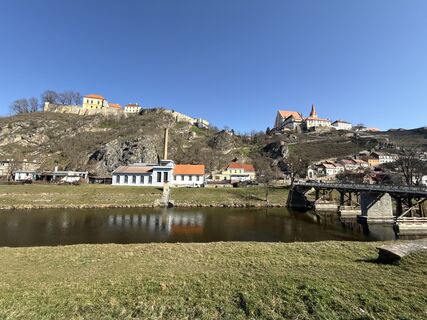
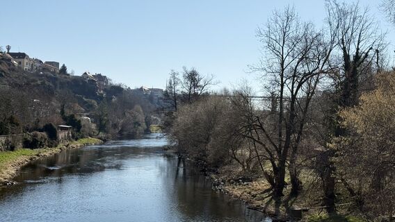
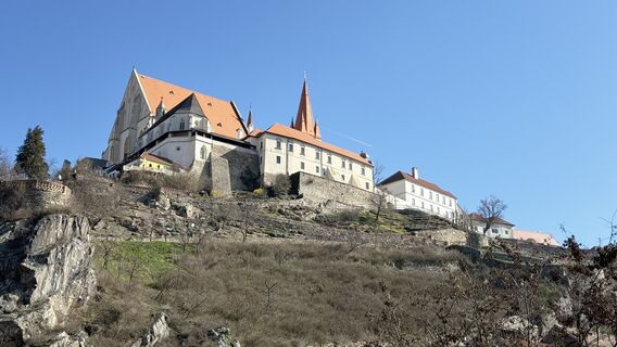
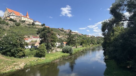
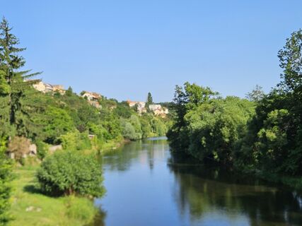
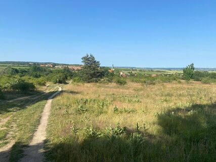
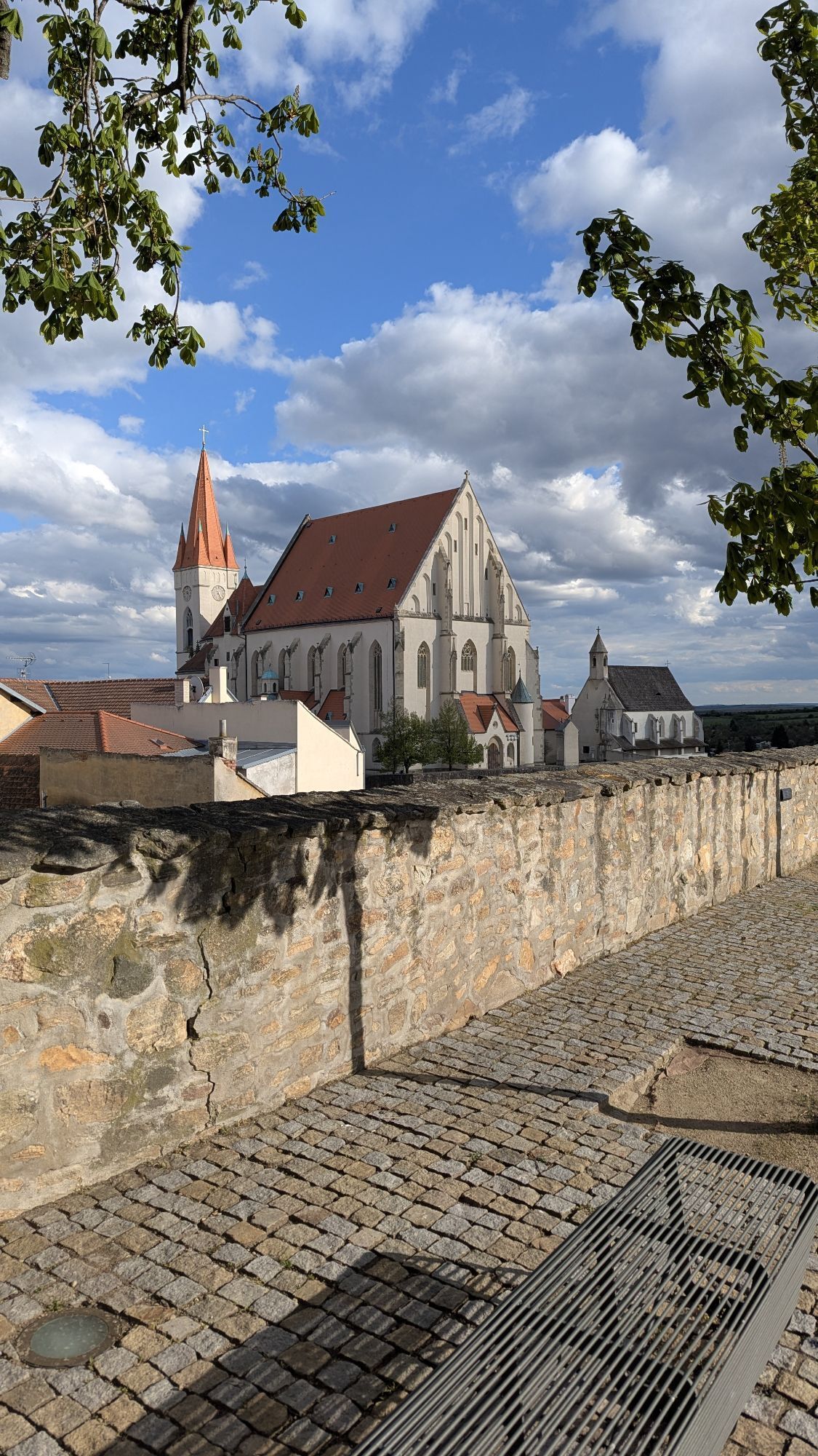
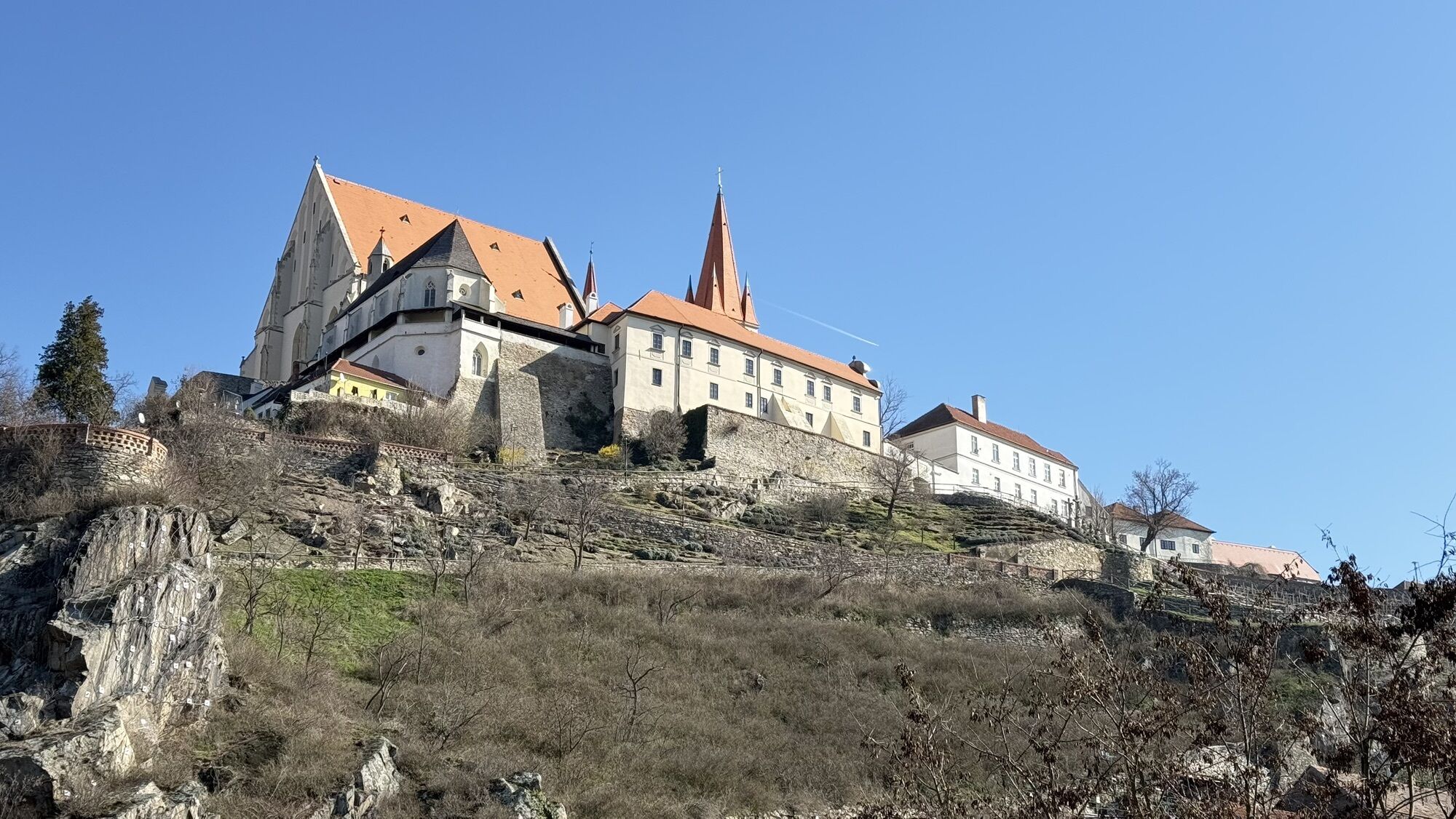
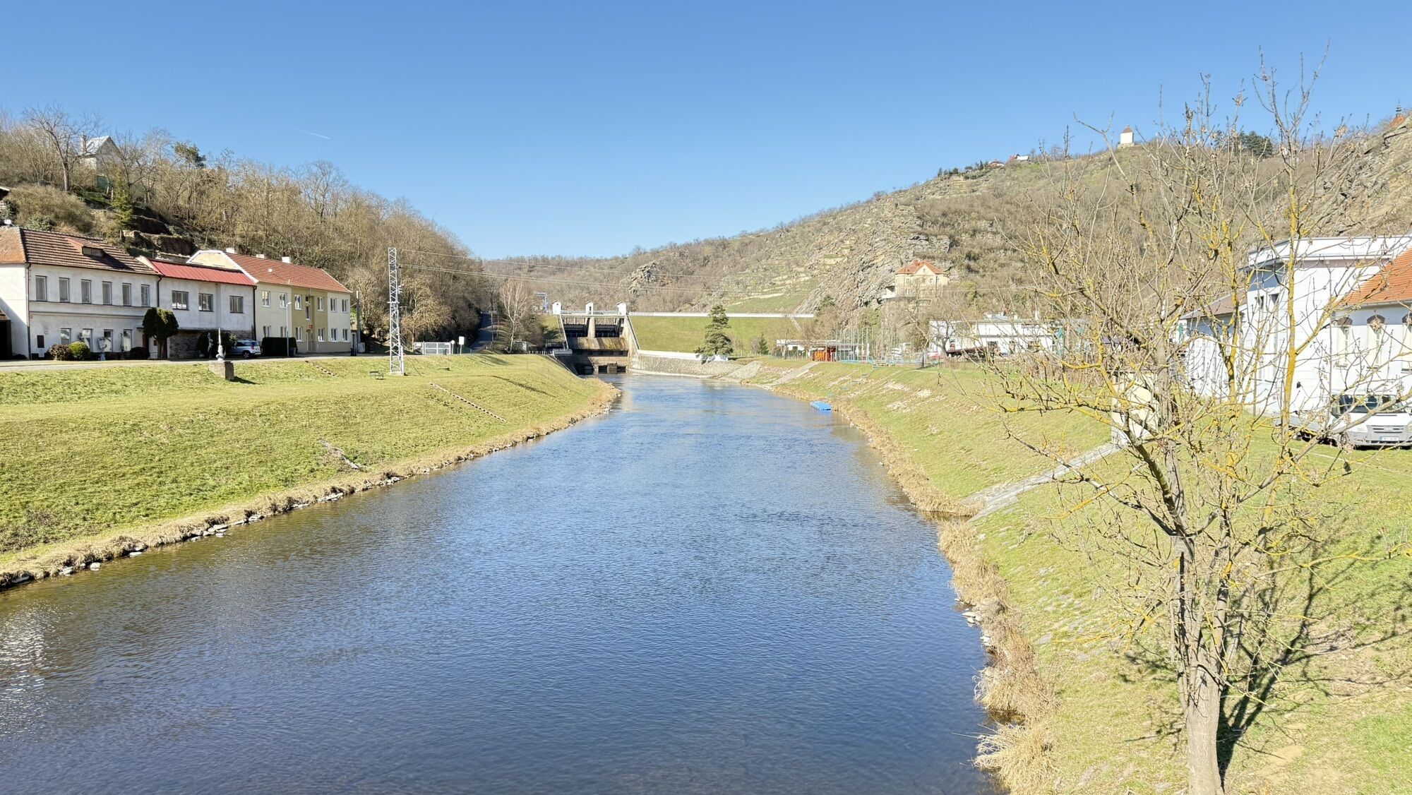
The pilgrimage route begins in the birthplace of Tasovice/Tasswitz and leads in large parts along the Thaya to the historic town of Znojmo, the Louka Monastery (Klosterbruck) and the house in the middle of the old town of Znojmo where Klemens Maria Hofbauer learned the baker's trade. An impressive narrow path leads steeply and with great views down to the Thaya and then into the Thayathal National Park. Past sheep and across the picturesque heath, you reach the national border at Hnanice and the Holy Stone in Mitterretzbach.
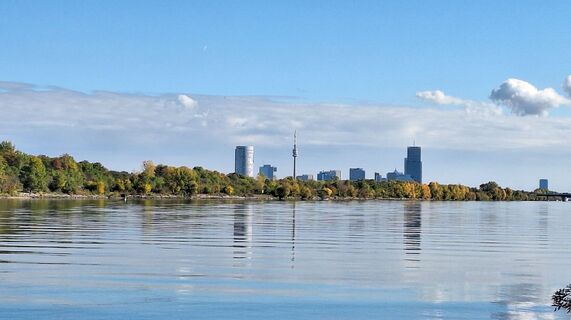
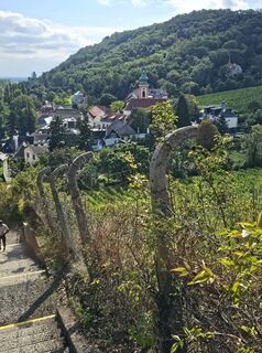
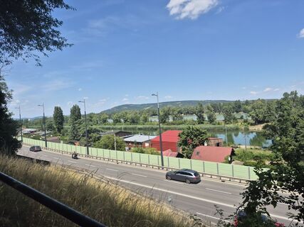
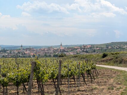
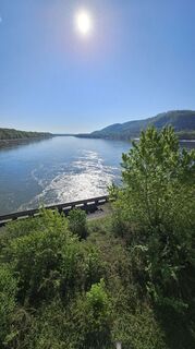
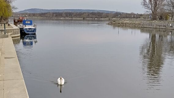
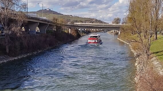
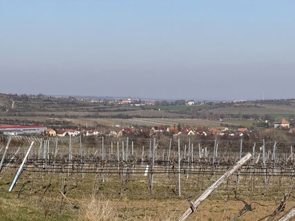
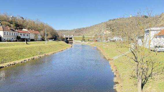
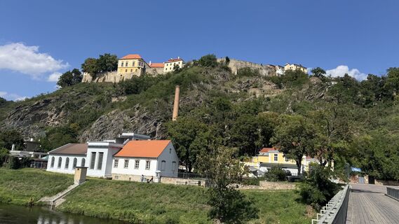
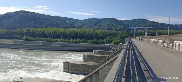
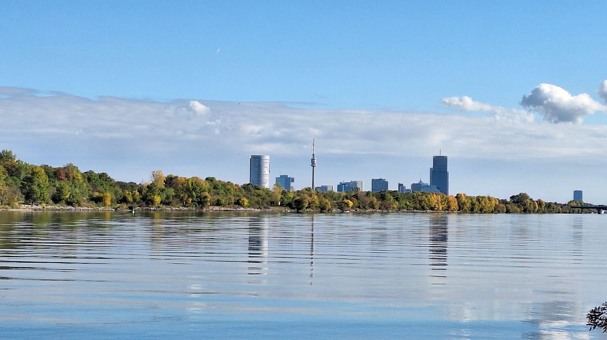
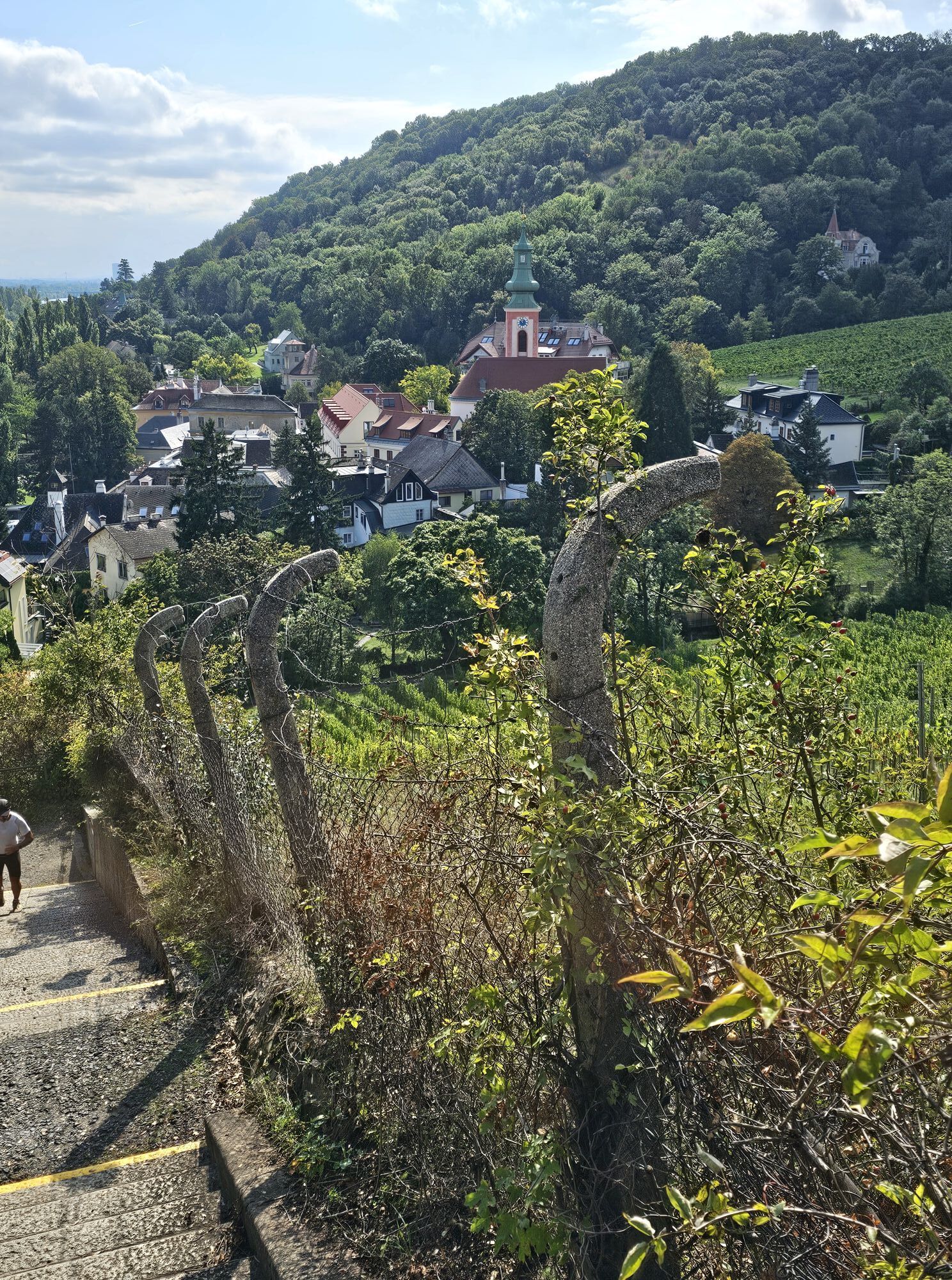
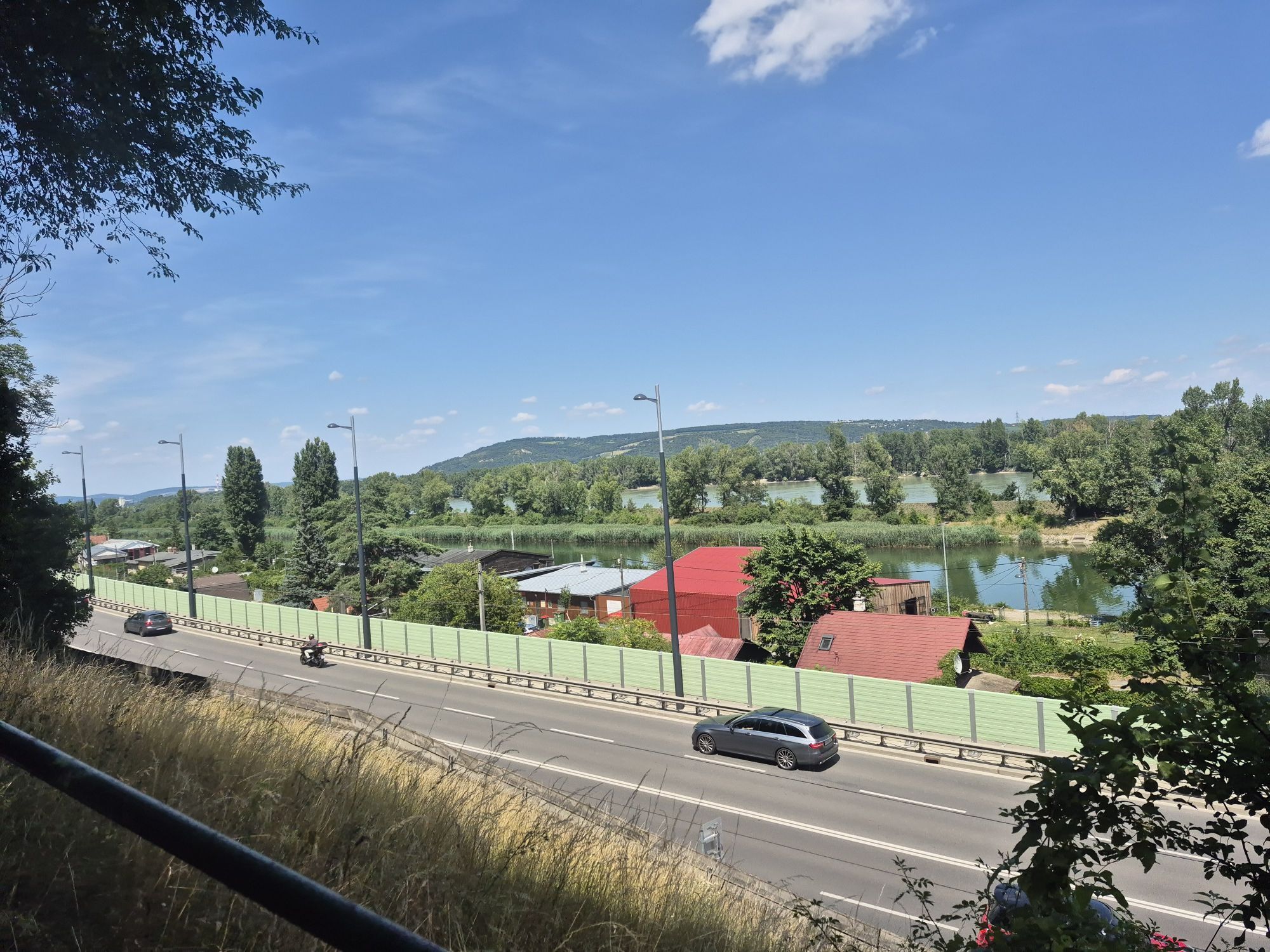
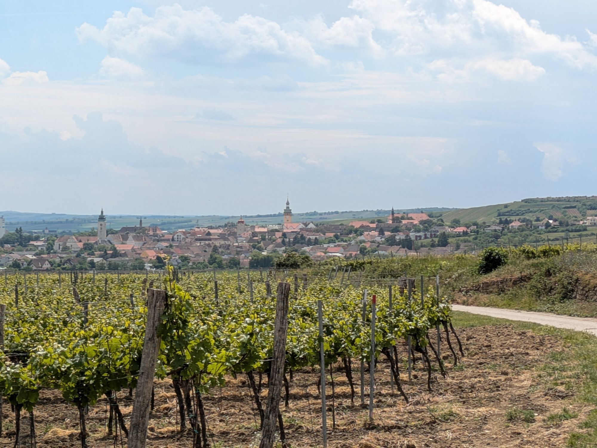
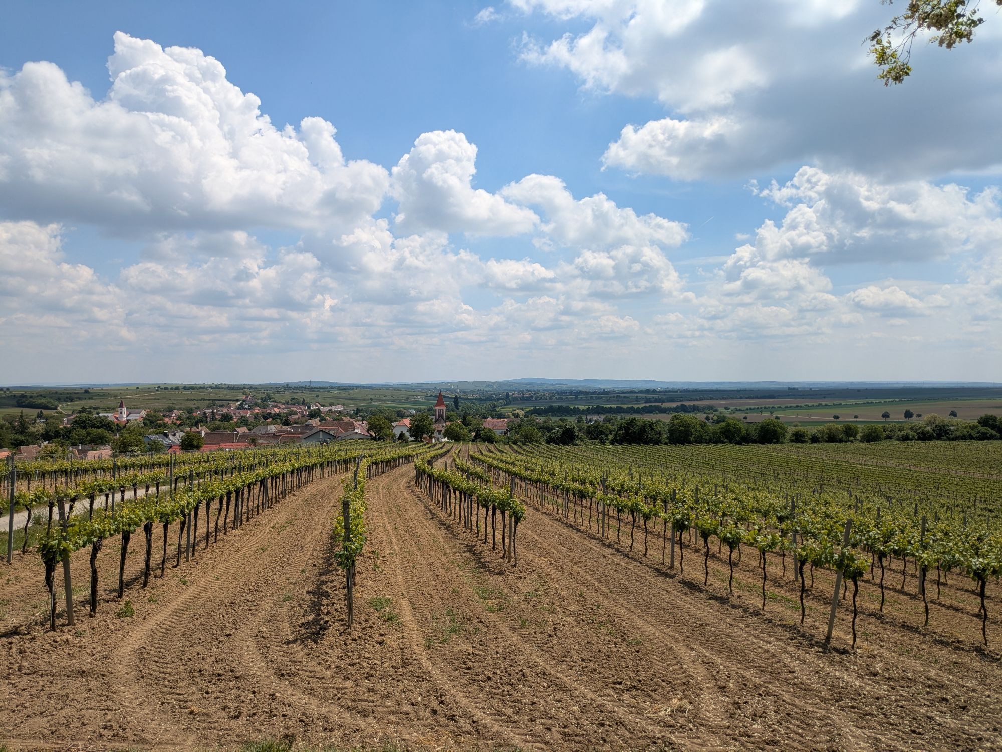
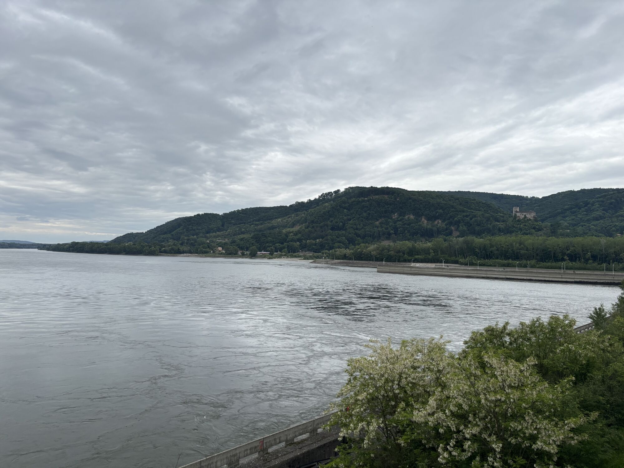
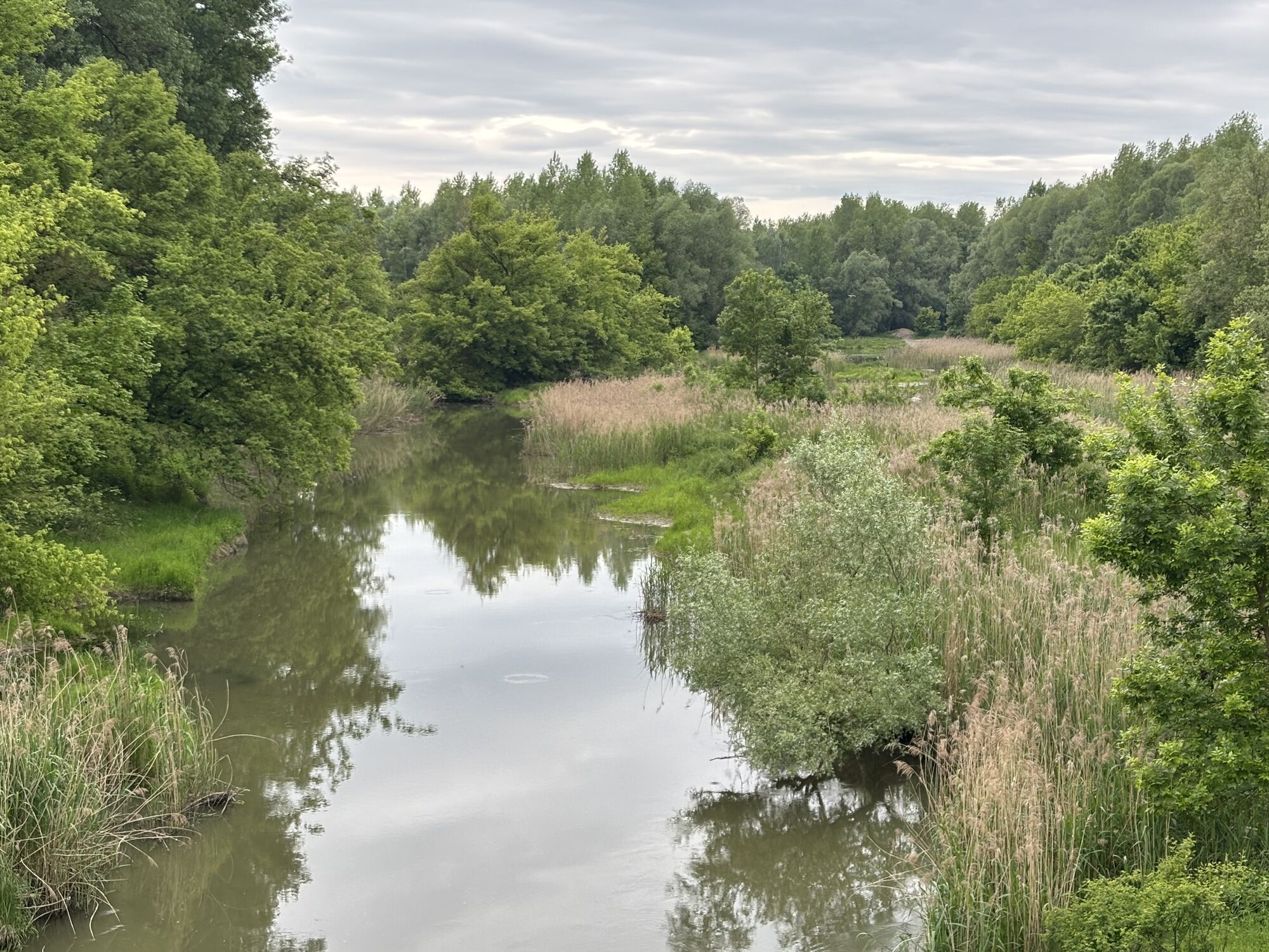
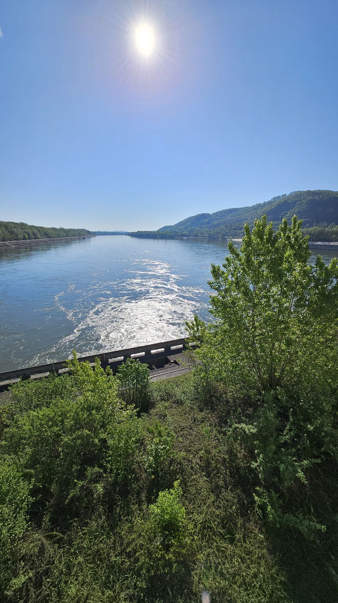
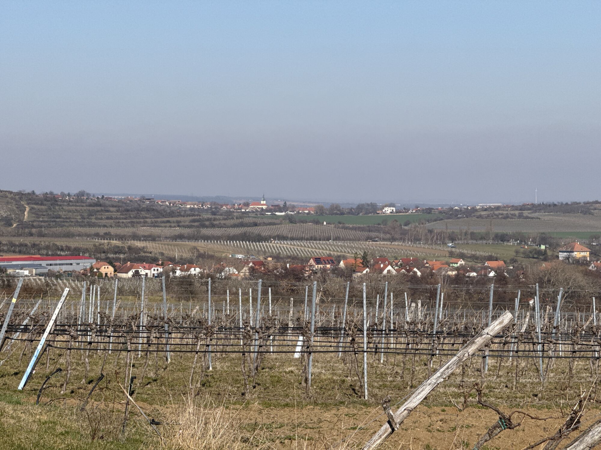
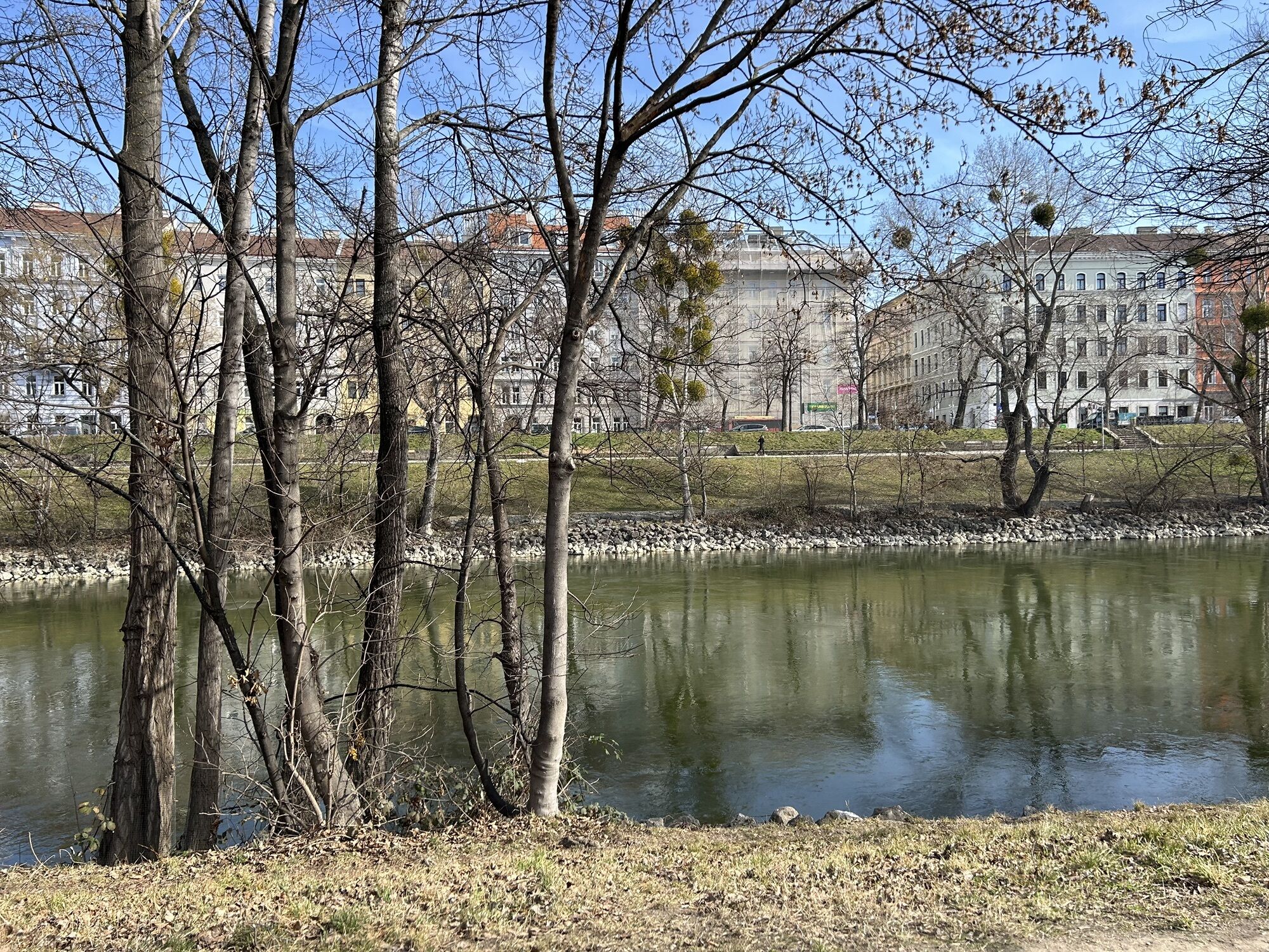
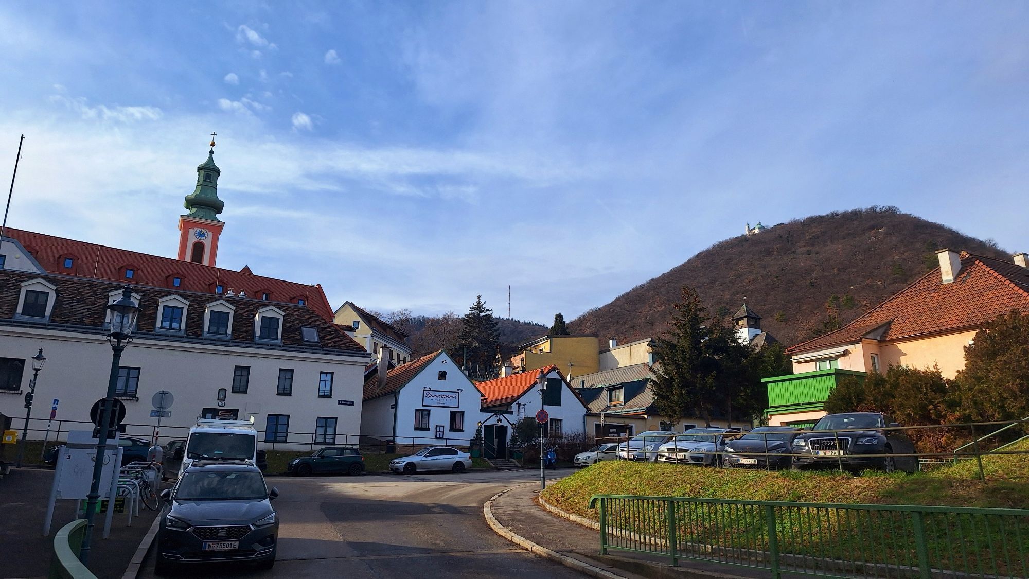
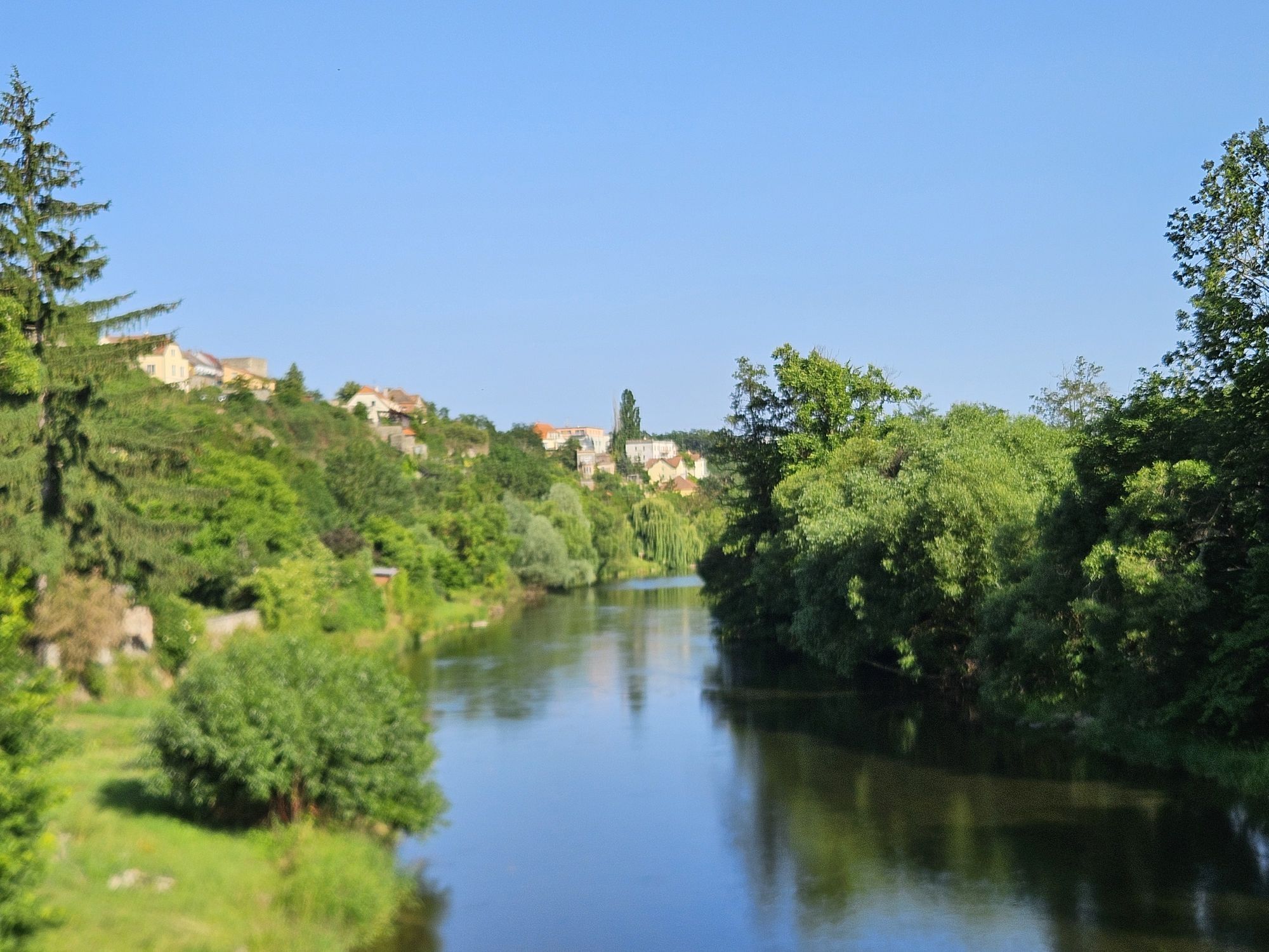
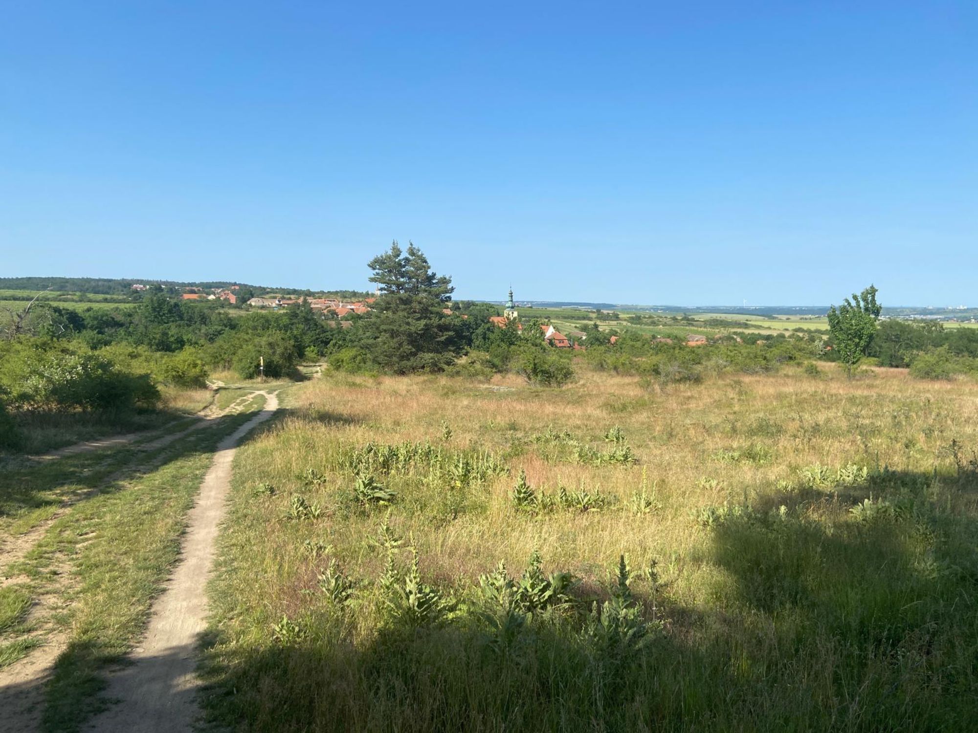
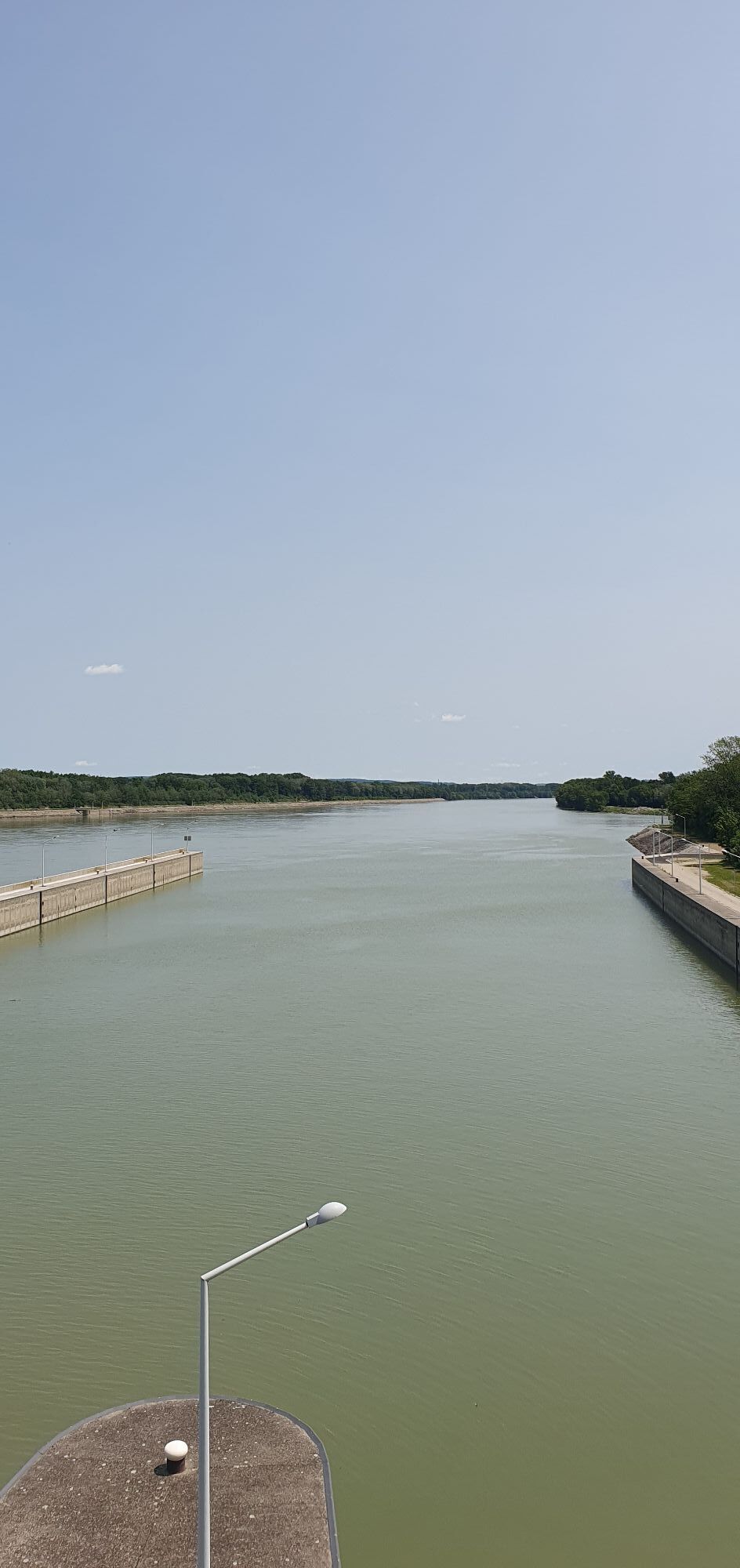
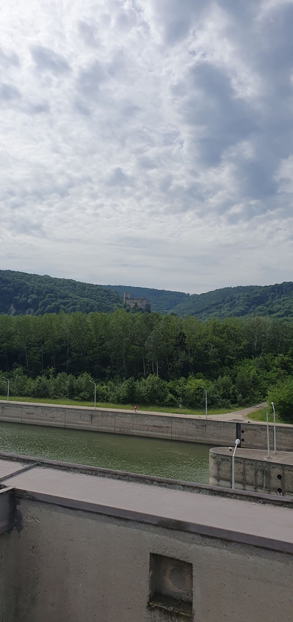
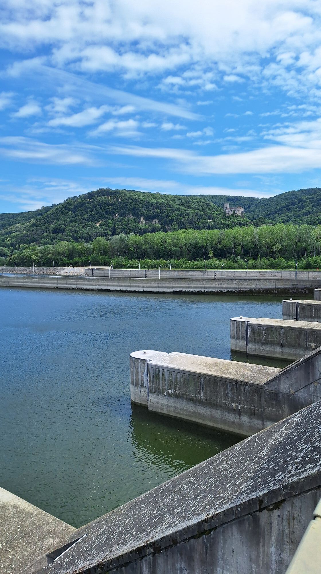
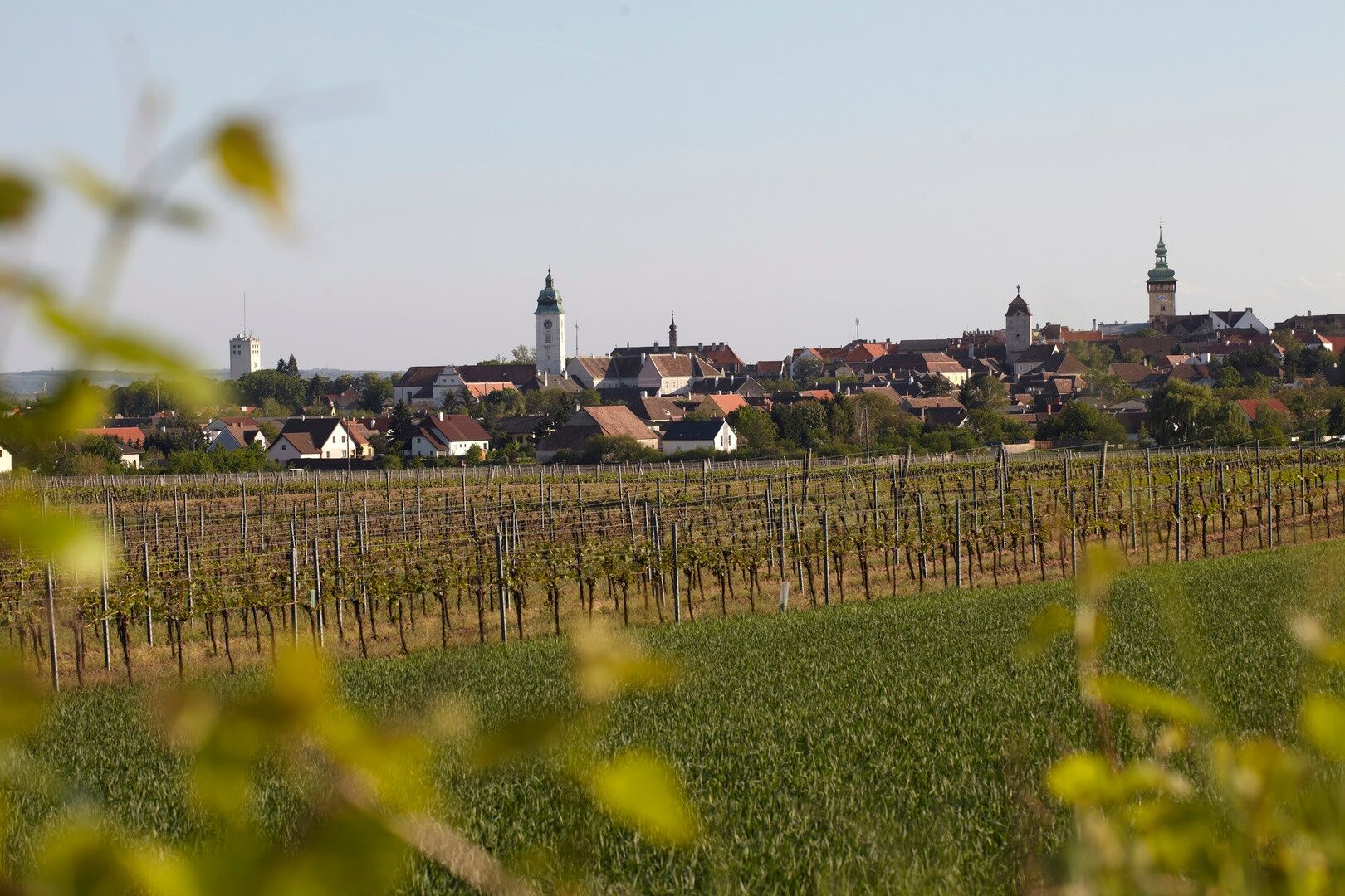
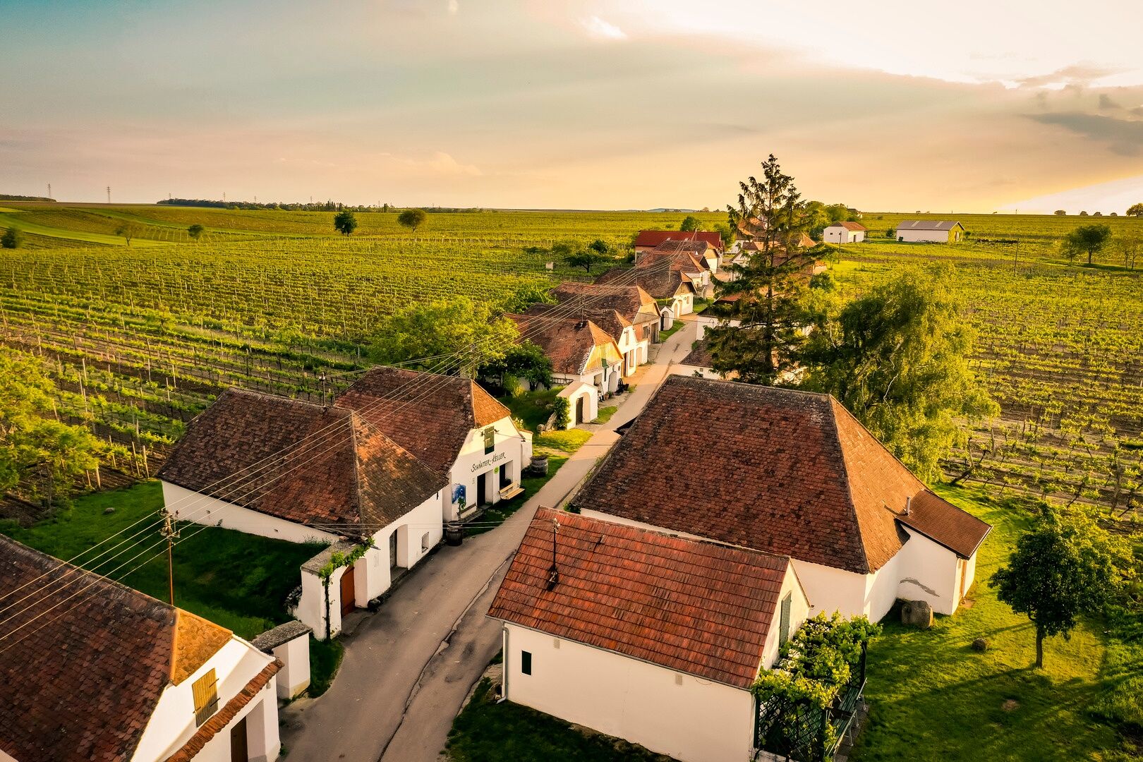
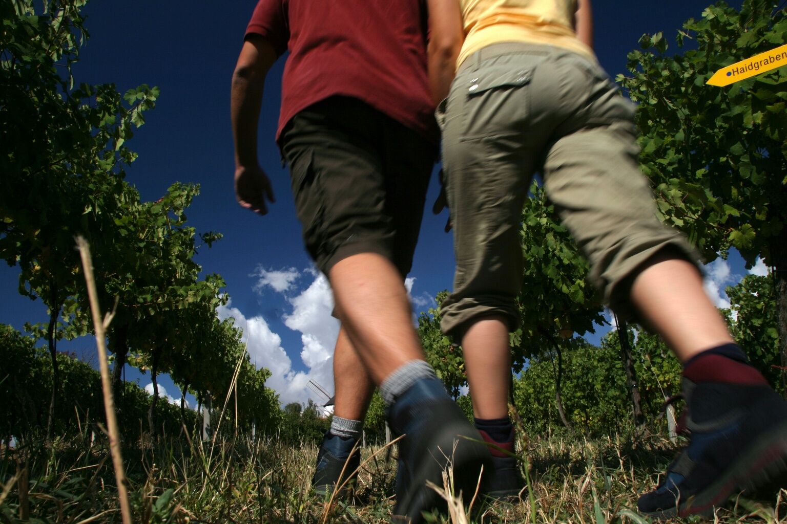
The route leads along vineyards and extensive fields to Retz and Klemens Maria Hofbauer Square. On the rest of the route, small villages and historic towns (e.g. Eggenburg) alternate with vineyards, the typical Weinviertel wine cellar lanes and rolling hills. Again and again, the trail runs alongside streams (e.g. the Schmida) or geologically interesting formations. After Großweikersdorf, the hilly landscape of the Weinviertel gently merges into that of the Wagram. You soon reach Stockerau and change to the floodplain landscape of the Danube. You cross the Danube at Greifenstein and walk along the Danube to Stift Klosterneuburg. The last part of the route continues along cycle paths to the Maria am Gestade church in Vienna (1st district).
Along the way, pilgrims will find 28 information boards at intervals of around 5 km on topics that shaped and distinguished Klemens Maria Hofbauer in his life. At each board there is a pilgrim's stamp for the personal pilgrim's booklet (32-page brochure & stamp fields).
The eastern route via Großrußbach, the Ernstbrunn Forest, Zwingendorf and across the border to Jaroslavice back to Tasovice/Tasswitz shows a different but equally scenic part of the Weinviertel (AT) and Moravia (CZ).
This pilgrimage trail thus becomes a 250 km long circular hiking trail.
Suggested stages:
Tasovice - Retz: 28km (approx. 6 hours walking time)Retz - Eggenburg: 24km (approx. 5 hours walking time)Eggenburg - Großweikersdorf: 32 km (approx. 7 hours walking time)Großweikersdorf - Stockerau: 31 km (approx. 7 hours walking time)Stockerau - Vienna: 29 km (approx. 6.5 hours walking time)Accommodation and restaurants along the route:
(in chronological order)
Tasovice:
http://slunecny-penzion.cz/Znojmo:
https://www.premiumhotel.cz/https://www.hozpoda.cz/https://www.facebook.com/kofikofiznojmo/AUSTRIAOberretzbach:
Vacation home AckerlMitterretzbach:
Vacation home StiedlKrell family wineryUnterretzbach:
Guesthouse Elisabeth - Organic Winery RückerIrmgard's vacation apartmentWine and sleeping estate SonnenhügelWinery Wolfgang PollakPollaks Wirtshaus - The RetzbacherhofRetz:
**** Landgut & SPA Althof RetzWinery Beatrix and Martin SeherChrista Klinger private room rentalLöscher WineryKlinger's guest houseWinery Lustig & Guesthouse AnnemariaAnna Maria & Felix WiklickyMoravian Embassy in the WeinschlösslKleinhöflein:
Winzerhof FleischmannKleinriedenthal:
Winery BreitenfelderObernalb:
Winery LadentrogWinery Josef and Barbara SeherUnternalb:
OBENauf room &breakfastSchrattenthal:
Winery & guest rooms Pointner familyWinery Wurst familyWinery Hindler - Wine apartment KellerstöcklZellerndorf:
Retzerlandhof Family GrafSchönhofer WineryWinery Kahrer familyDeinzendorf:
Wagner WineryRohrendorf an der Pulkau:
Weinpension family PockPulkau:
Kober familyPension Rudi - Winery KellnerThe old soap factory in PulkauLeodagger:
Wagner family wineryRöschitz:
Winery Frischauf familyWinery Leopold KrottendorferWinery - guest room family RuttenstockWinery KrottendorferWinery Regina & Martin WeineckW4 - Wine enjoyment cultureRoggendorf:
Vacation home "Weinkeller Röschitz"Eggenburg:
EGINO - Premium Hotel, Restaurant & BarKleinreinprechtsdorf:
Biohof HammerFrauendorf:
Winzerhof & Guesthouse GreilZiersdorf:
Weinhof UibelStefanshof InnRohrbach:
Guest rooms Winzerhof EnglmayerGlaubendorf:
Winery and guest rooms ObenausInn THEURER RenateUnterthern:
Erlebnishof HuberGroßweikersdorf:
Vacation on the farm, Privatzimmer WürgerPension ChristineHausleiten:
Gasthaus AmstätterOberzögersdorf:
Private room rental WaysmayerStockerau:
HOPFELD - Hotel DREIKÖNIGSHOFCity Hotel Stockerau, StockerauVienna:
Maria am Gestade
1010 Vienna, Salvatorgasse 12
Tel. 01/533 95 94
sekretariat@cssr.at
www.redemptoristen.com

Adresse des Startpunkts: Tasovice/Tasswitz 34, 671 25 Tasovice, Kirche beim Redemptoristenkloster (Achtung: nicht Pfarrkirche)
Adresse des Endpunkts: Maria am Gestade, Salvatorgasse 12/Passauer Platz 1, 1010 Wien
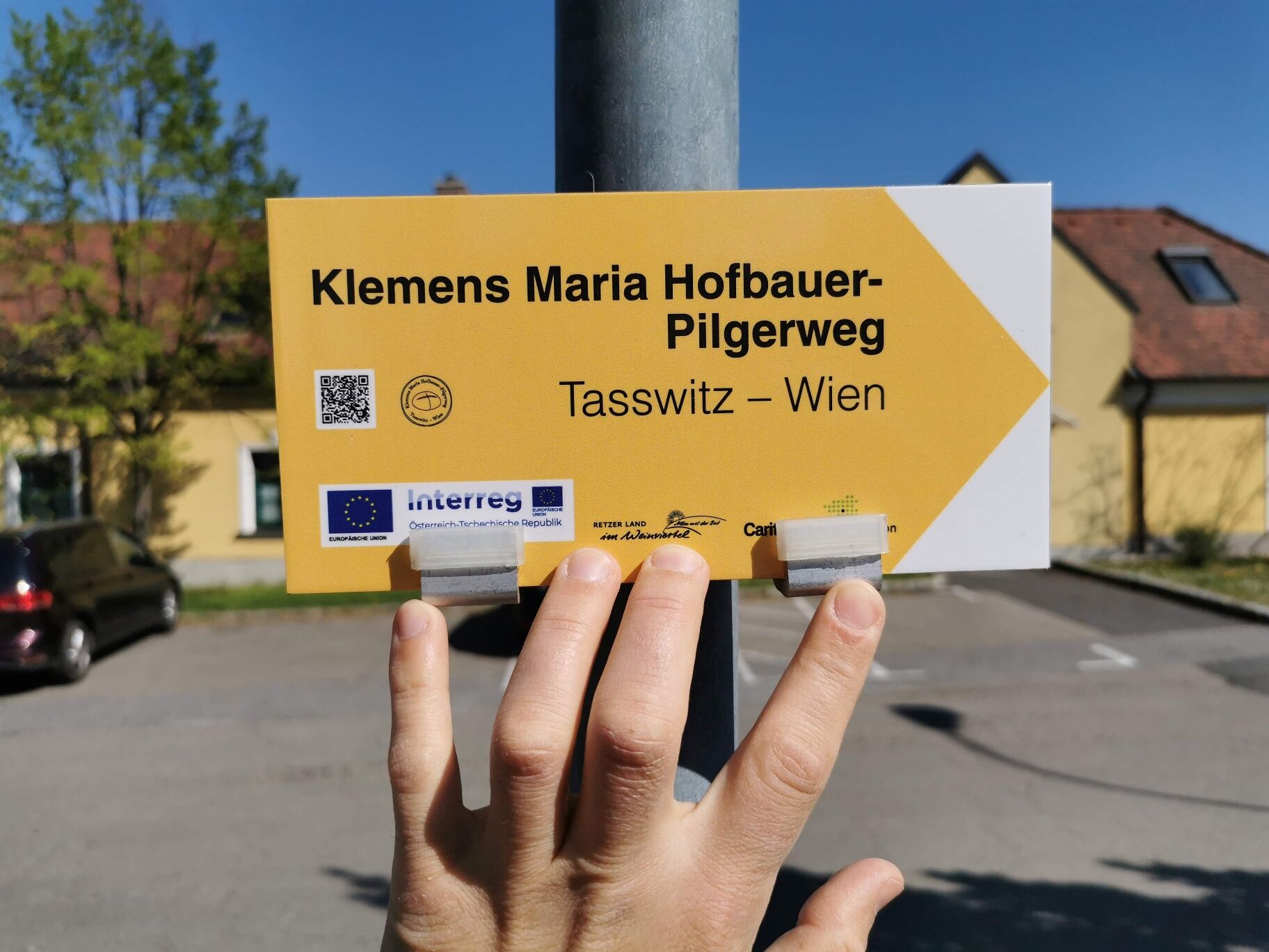
Folgen Sie der gelben Beschilderung. Die genaue Ansicht finden Sie in der Bildgalerie.
Feste Schuhe, ausreichend Getränke bzw. Verpflegung (Weg verläuft großteils abseits von Ortsgebieten).
Für den tschechischen Teil: Reisepass
Die Strecke verläuft großteils über gut befestigte Rad- oder Wanderwege, viele davon sind asphaltiert. Im tschechischen Teil (beginnend beim „Haus der Bäckerlehre“ bis zum Ort Popice) verläuft der Weg durch den Nationalpark und ist nur mit festem Schuhwerk bzw. nur mit Mountainbike zu bewältigen.
Öffentlich erreichbar sind folgende Punkte der Tour:
CZ: Tasovice, ZnaimAT: Retz, Zellerndorf, Eggenburg, Großweikersdorf, Stockerau, Klosterneuburg, WienVerantwortlicher für den Inhalt dieser Tour
Weinviertel Tourismus GmbH
Nähere Infos erhalten Sie beim Tourismusverein Retz, Hauptplatz 30A - 2070 Retz, Telefon: +43 2942-2700, tourismus@retz.at,www.retzer-land.at
Der Pilgerweg kann auch mit dem Fahrrad befahren werden. (Trekking- oder Mountinbikes)
Empfehlungen entlang der Strecke:
Retz: Retzer WindmühleStockerau: Stockerauer AuWebové kamery z prehliadky
-
Burgtheater Wien
-
Wien Rathausturm
-
Wien Rathausturm
-
Wien Rathausturm
-
Wien Rathausturm
-
Wien Rathausturm
-
Wien Rathausturm
-
Wien Rathausturm
-
Wien Rathausturm
-
Wien Rathausturm
-
Wien Rathausturm
-
Wien - Brigittenau
-
Klosterneuburg
-
Wien - Arsenal
-
Retz Rathausturm
-
Flugfeld Stockerau
-
Bisamberg
-
Burgtheater Wien
-
Burgtheater Wien
-
Burgtheater Wien
-
Burgtheater Wien
-
Wien - Kronen Zeitung
-
Flugfeld Stockerau
-
Florian Berndl Bad - Korneuburg
Obľúbené výlety v okolí
-
4,0
Weinwanderweg Wetzdorf
svetloTematická trasa 6,51 km -
4,3
Niederrußbach Dauersberg Stranzendorf retour 20190519
svetloTuristika 7,75 km -
3,8
W3 Löss-Tour
strednáCyklistika 38,6 km -
4,0
Rivaner-Radtour
Cyklistika 54 km -
3,5
Portugieser-Radtour
Cyklistika 67 km -
4,8
Naturerlebnis Blumenberge Weinviertel
strednáCyklistika 29,6 km -
3,5
Rieplkreuz-Runde Ernstbrunner Wald
svetloTuristika 6,79 km -
3,0
»tut gut« Wanderweg Breitenwaida | Route 2
strednáTuristika 10,2 km -
3,0
Holzknechtkapelle Enzersdorf
svetloTuristika 6,39 km -
RUSSBACH Dauers- und Haberg Kalte Stube Hirschberg 20200315
strednáTuristika 14 km
Turistika a stopovanie


Nenechajte si ujsť ponuky a inšpiráciu na ďalšiu dovolenku
Vaša e-mailová adresa bol pridaný do poštového zoznamu.