


Rudolf's hiking or biking trail
The cycling and hiking trail runs approximately along the border of the Rudolfswerth area, as defined by the founder of Novo mesto Duke of Austria, Rudolf IV, through a founding charter in 1365. Most of...
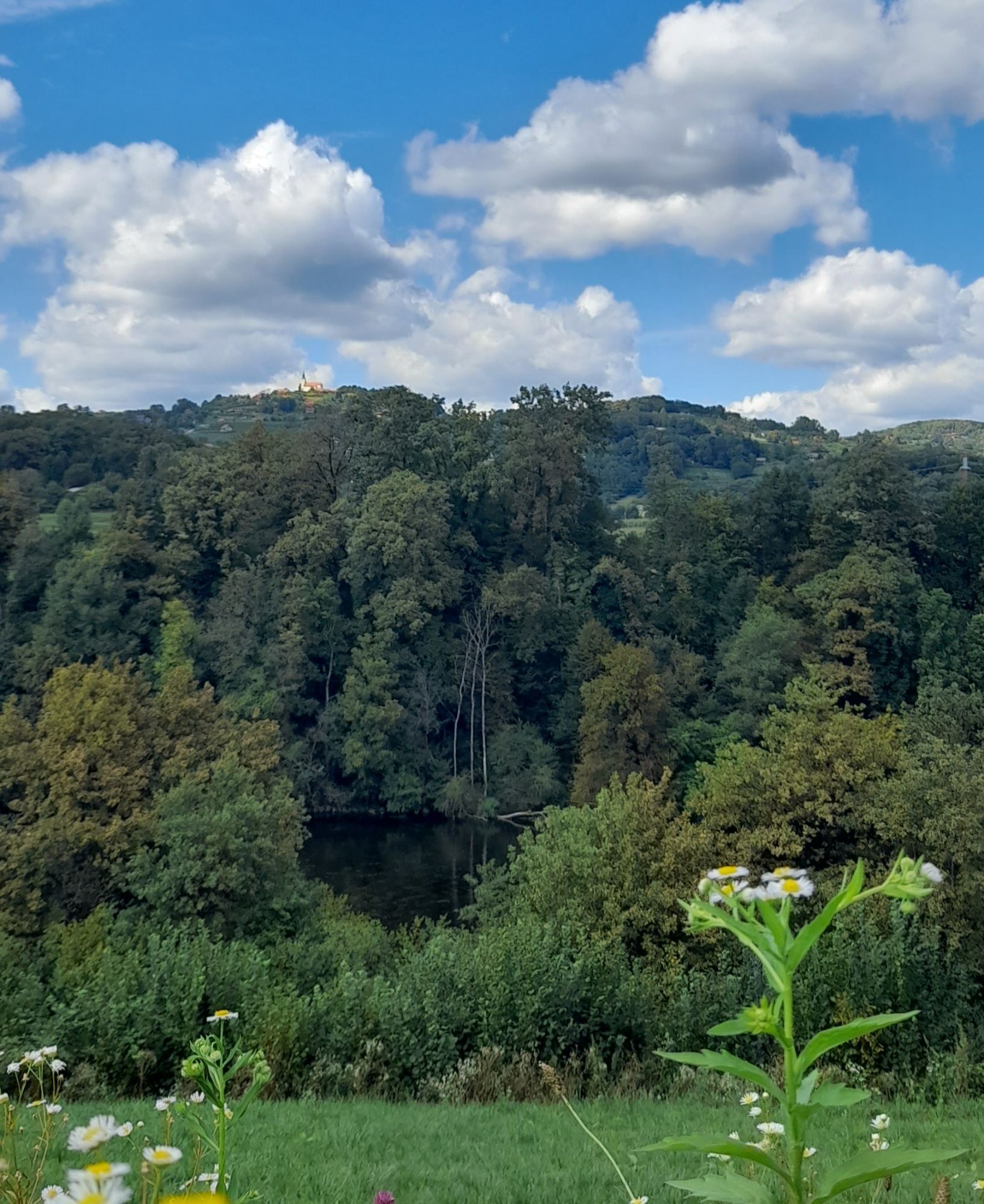
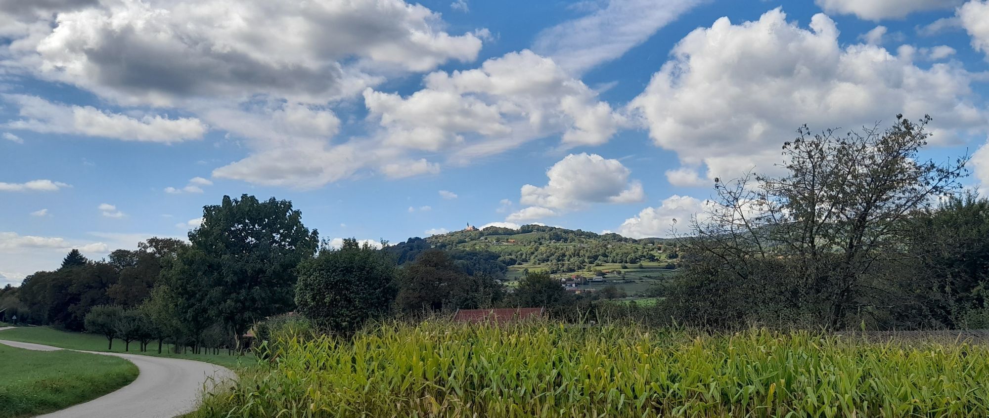
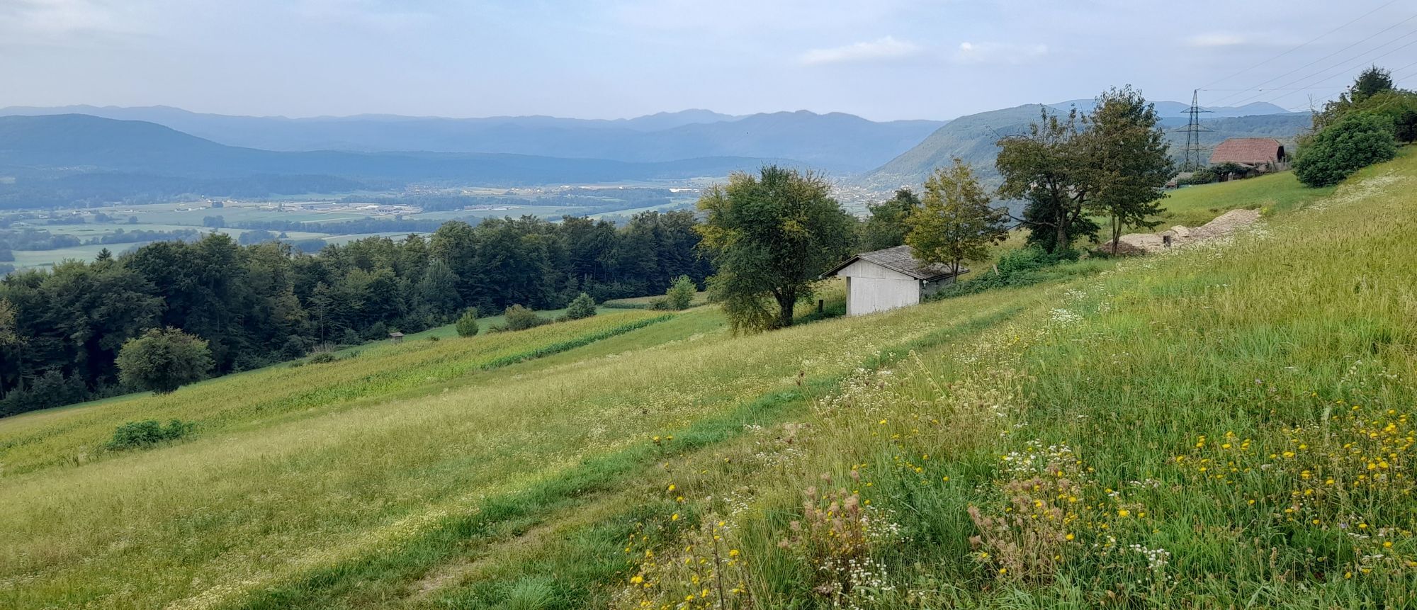
The cycling and hiking trail runs approximately along the border of the Rudolfswerth area, as defined by the founder of Novo mesto Duke of Austria, Rudolf IV, through a founding charter in 1365. Most of the trail leads along the Krka River through villages, along rural paths and past numerous vine-clad hills full of vineyards, considered to be an ethnological peculiarity of Dolenjska. There are several wooded sections along unpaved terrain, so the trail is only suitable for a mountain bike. The route may require a bit more focus and technical skill at particular sections.

Novo mesto–Župančič Promenade–Groblje–the Temenica River–the Češča vas Equestrian Centre–Prečna–airfield–Luknja Castle–Kuzarjev Kal–Hudo–Daljni Vrh–Dolenje and Gorenje Kamenje–Golušnik–Koti–Stari grad–past the Otočec Primary School and over the bridge to Žihovo selo–the village of Krka– Ragovo–Ragov log–bridge over the Krka River–Novo mesto
Áno
Helmet and water
Traffic rules apply
Ljubljana- Novo Mesto- Otočec
Novo Mesto is easily accessible by bus or train, Otočec is than reachable with local bus or by bike
Free parking available
Highlights on the trail:
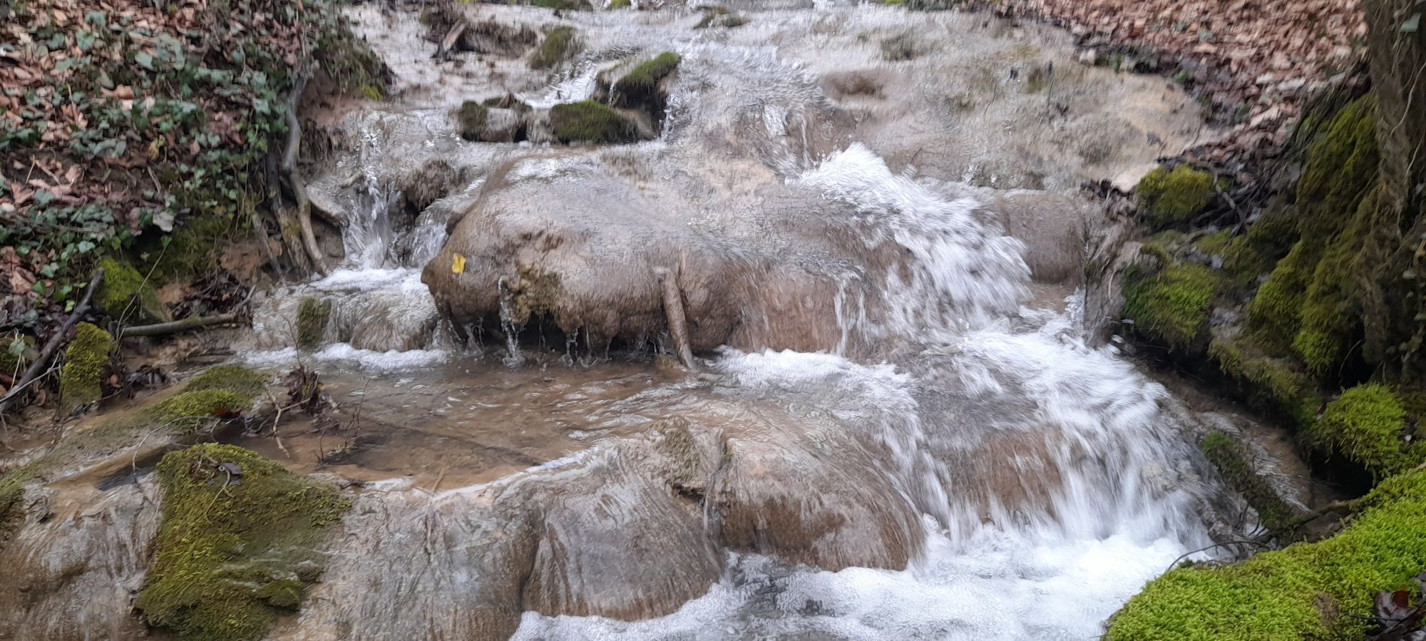
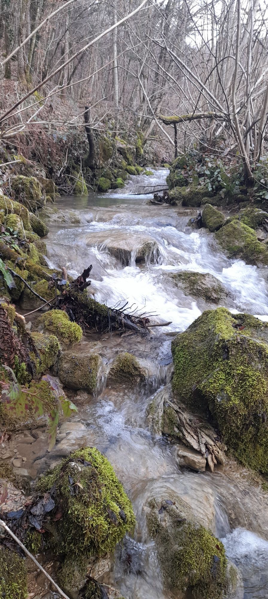
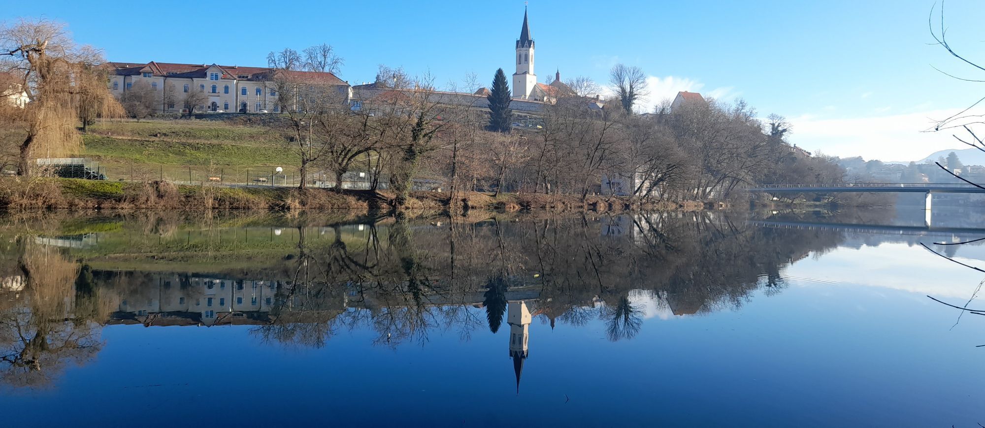
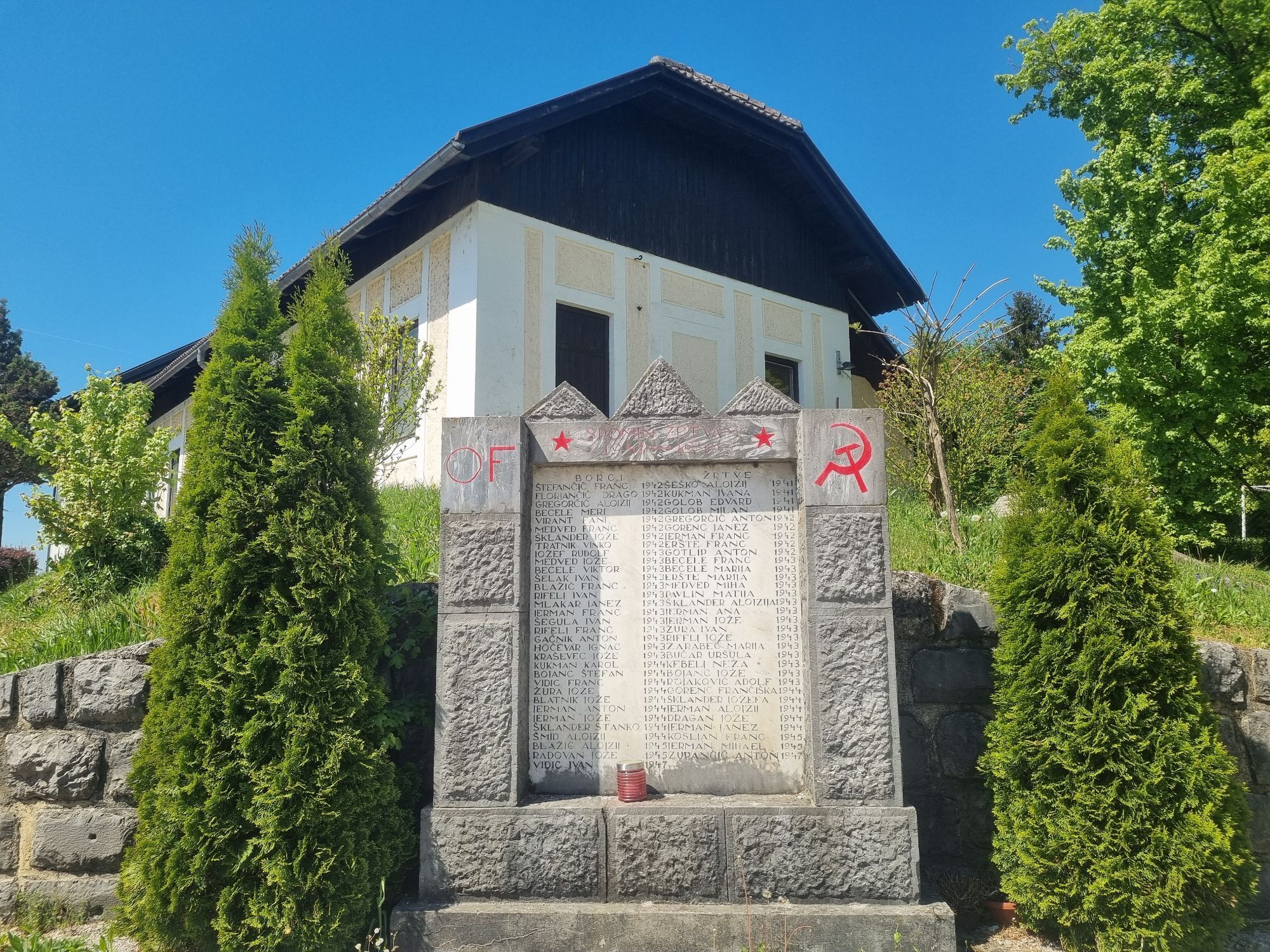
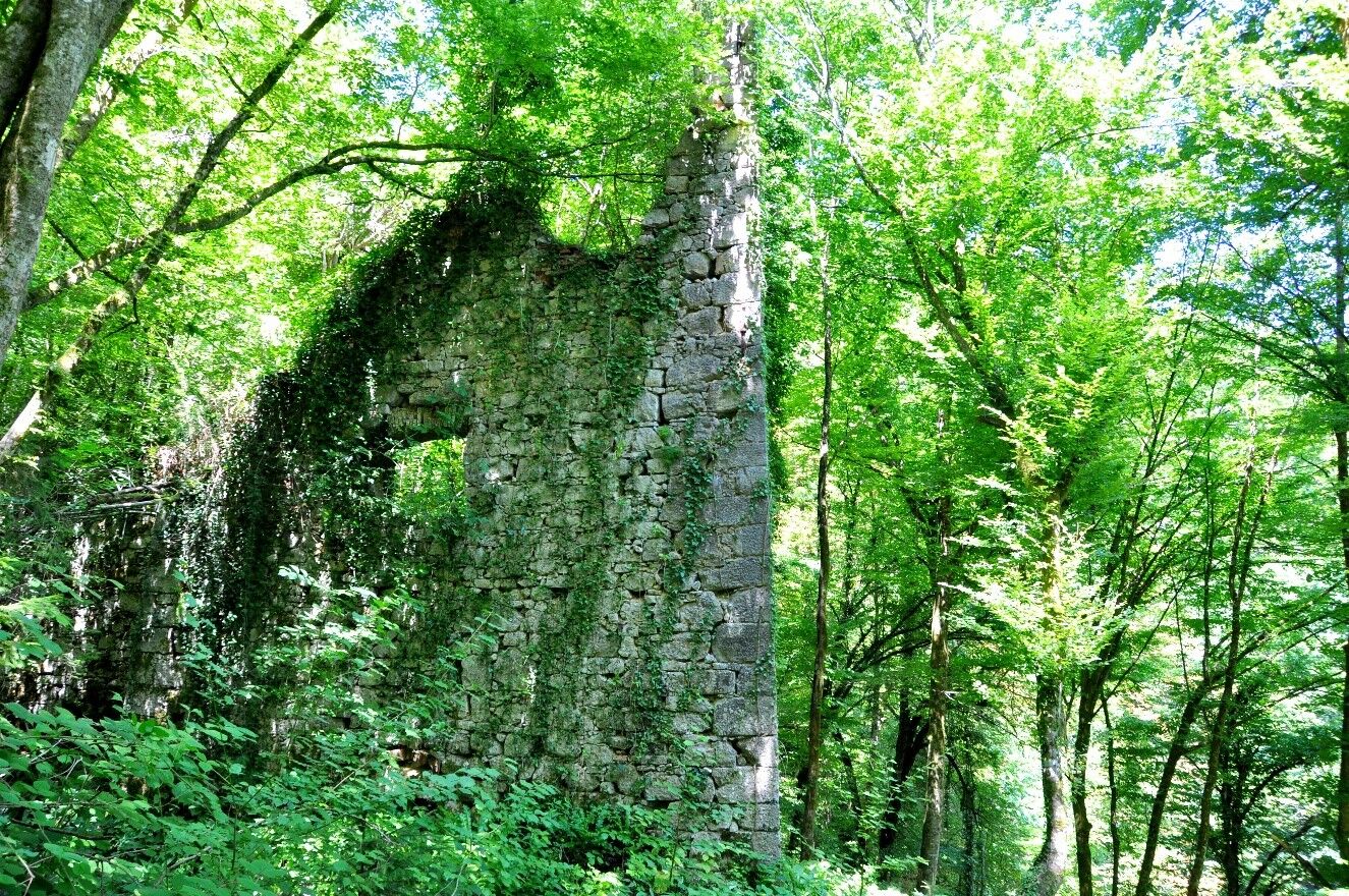
The Old Town, ŽupanÄiÄ Promenade, the Krka River, the Temenica River, the wetlands in Zalog (bird watching), the ÄešÄa vas Equestrian Centre, the Novo mesto recreational airfield, Luknja, Luknja Castle, the NOB (national liberation struggle) memorial park in Kuzarjev Kal, the Becele Cave (NOB monument), Stari grad, Ragov log
Mountain bike, trekking bike
Obľúbené výlety v okolí
-
5,0
Cycling trail from Novo Mesto to Dolenjske Toplice
svetloCyklistika 14,9 km -
Adrijaničeva heart trail from Šmarješke Toplice to Otočec
svetloTematická trasa 4,62 km -
The bear bicycle trail
ťažkéMountainbike 50,5 km -
Rudolf trail
strednáMountainbike 38,4 km -
From Novo Mesto to the warm spring Klevevž
strednáMountainbike 41,4 km -
Bike around Novo Mesto
strednáMountainbike 34,8 km -
Cycling trail Novo Mesto - Žbure
strednáCyklistika 18,6 km -
5,0
Mach heritage trail
strednáTuristika 9,99 km -
Refreshing cycling along the Radulja stream
strednáMountainbike 43,1 km -
Cycling trail from Šmarješke Toplice to Škocjan
strednáCyklistika 10,4 km
Turistika a stopovanie


Nenechajte si ujsť ponuky a inšpiráciu na ďalšiu dovolenku
Vaša e-mailová adresa bol pridaný do poštového zoznamu.