







Gantrisch Panorama Trail Run

Úroveň náročnosti: T2
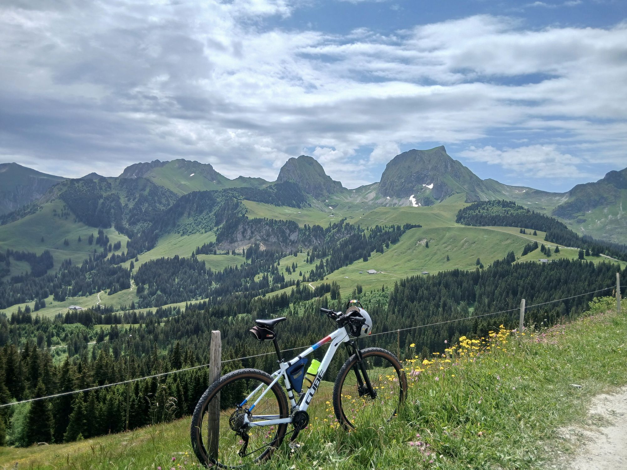
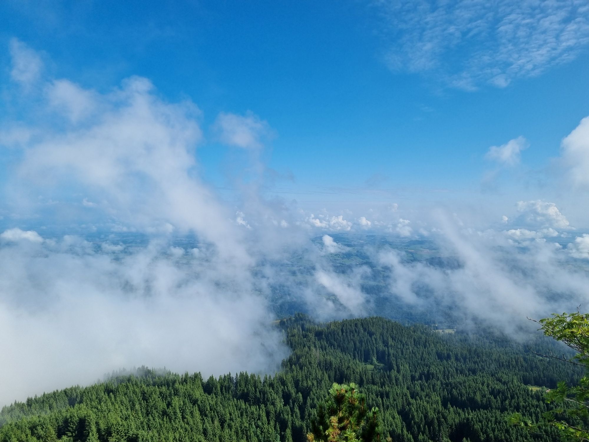
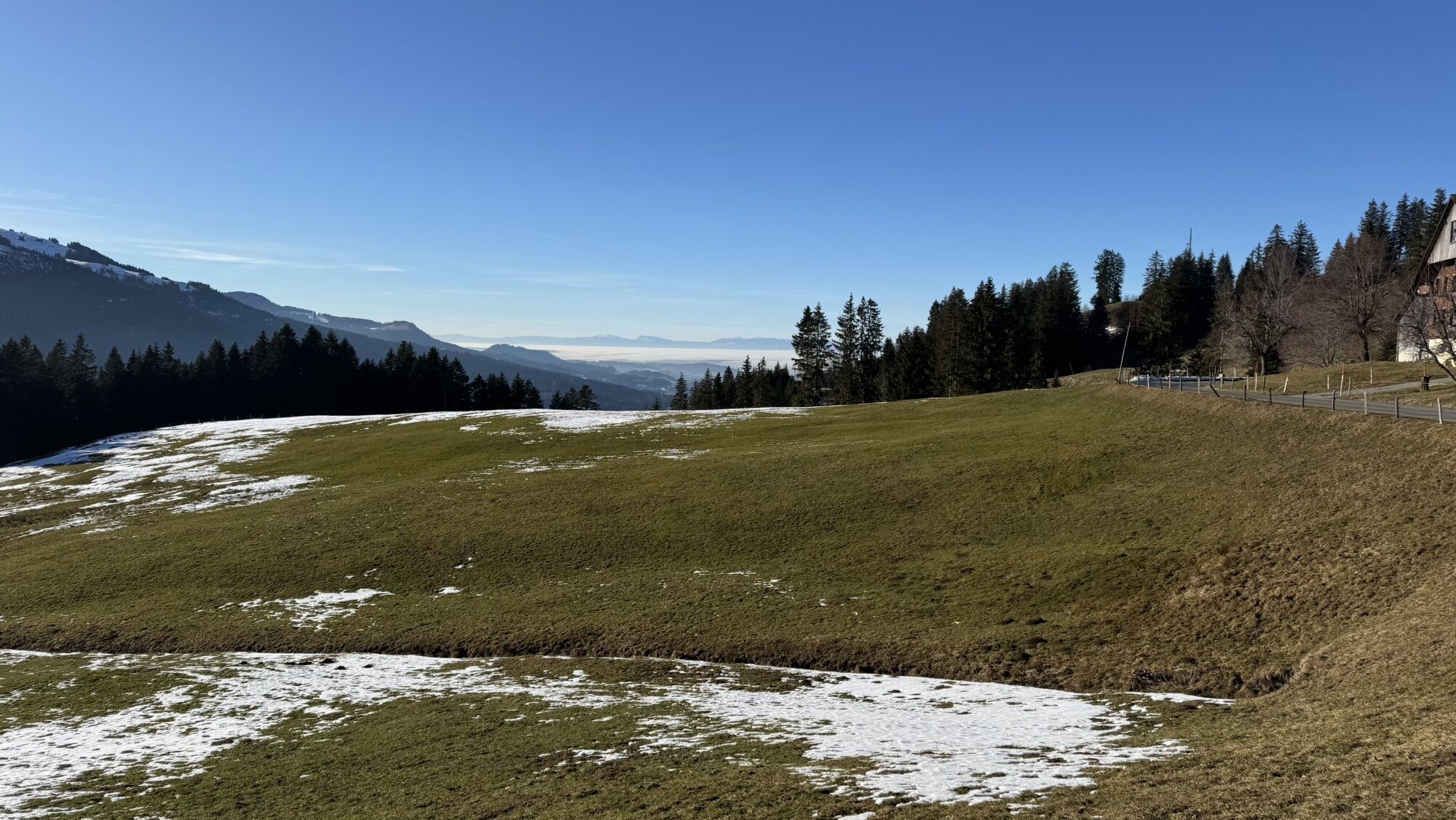
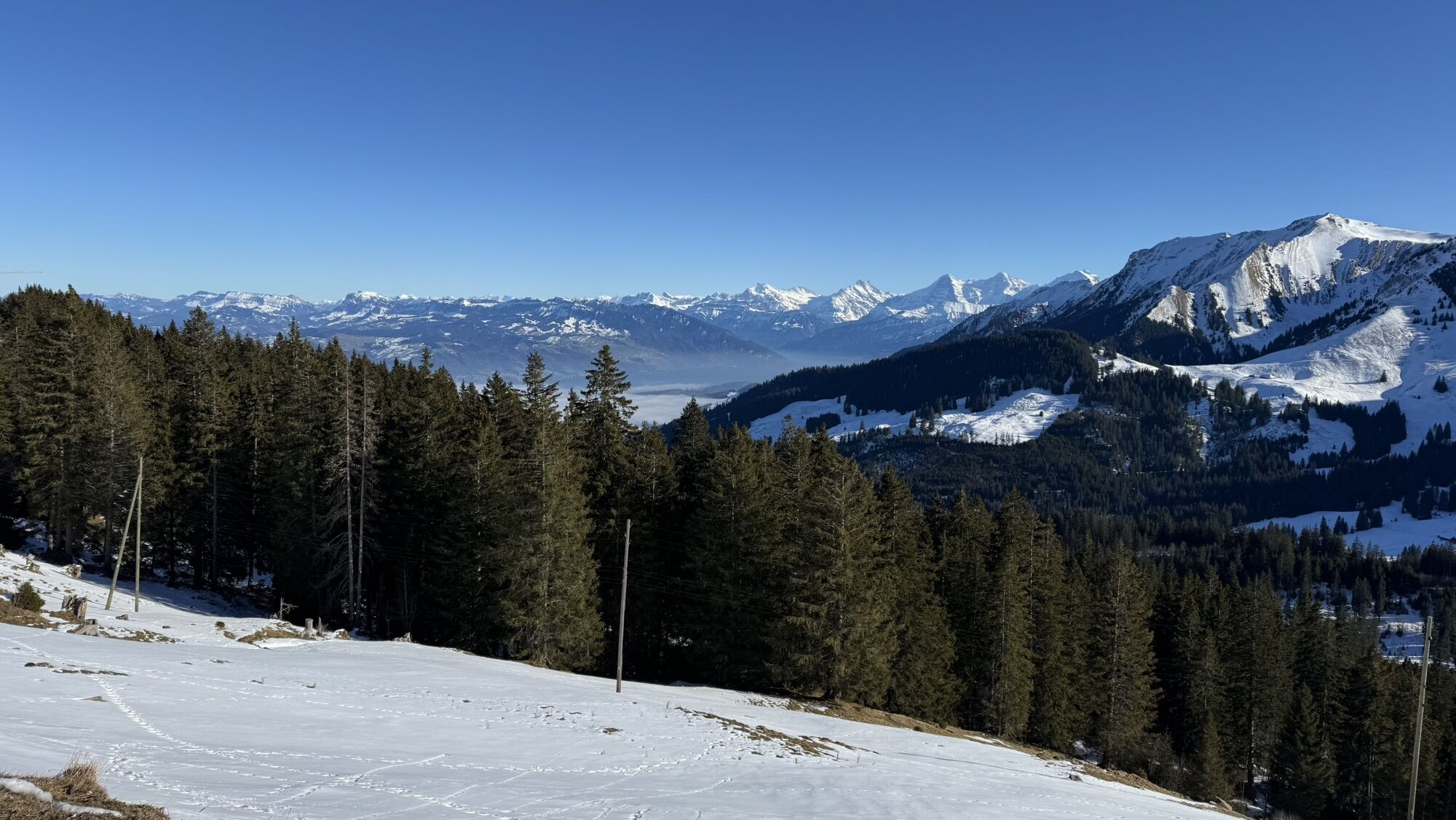
From the starting point at Zollhaus, the PostBus stop, things really get going right away. The steep climb over the Warme Syte and Hellstätt begins and drags on. Since the trail surface alternates between...
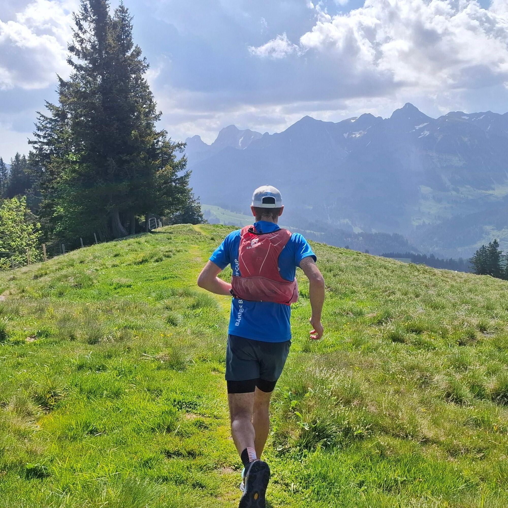
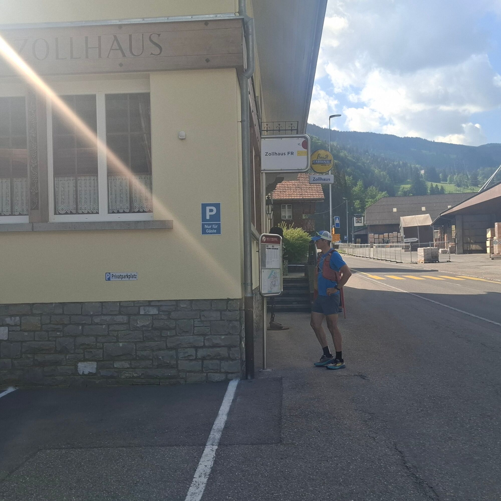
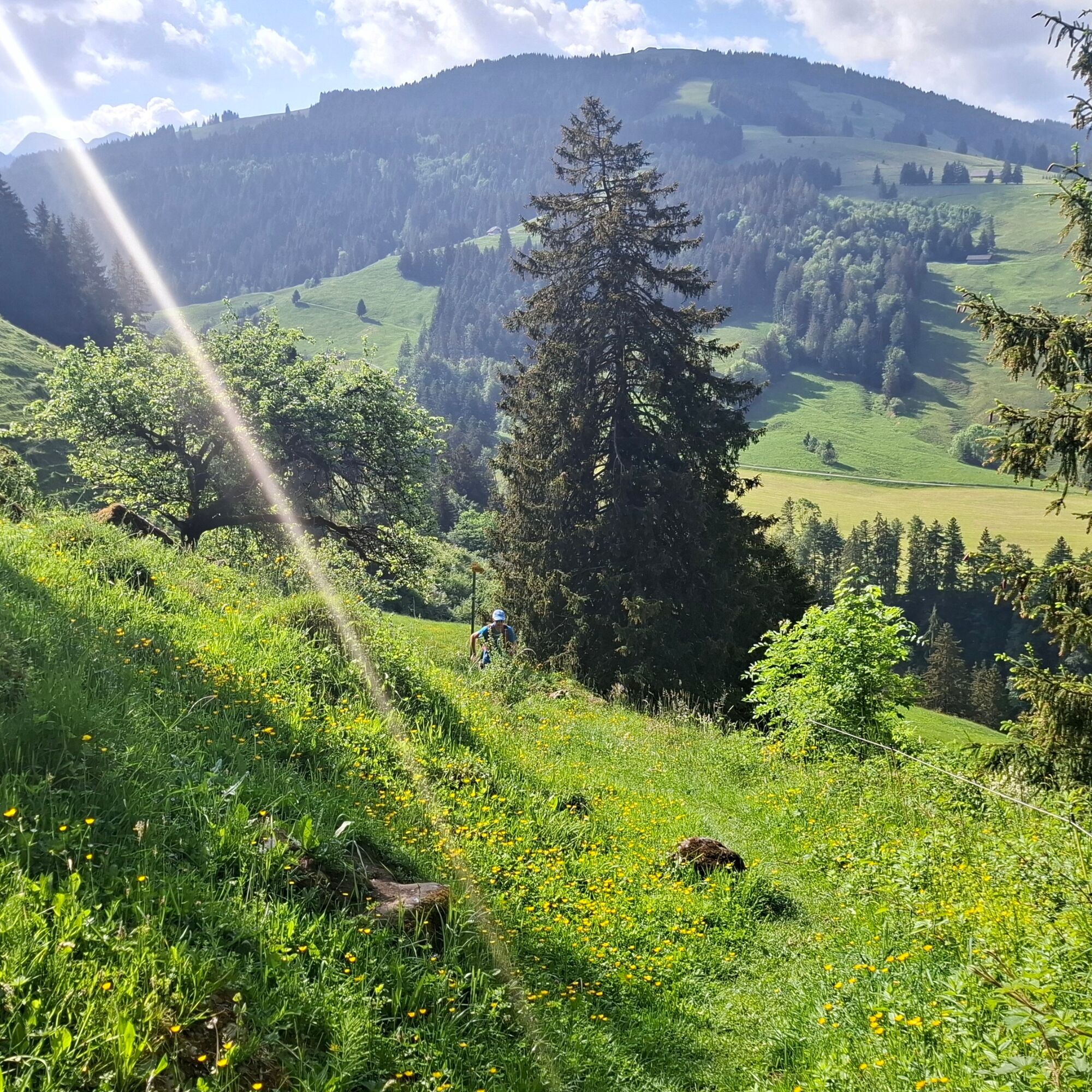
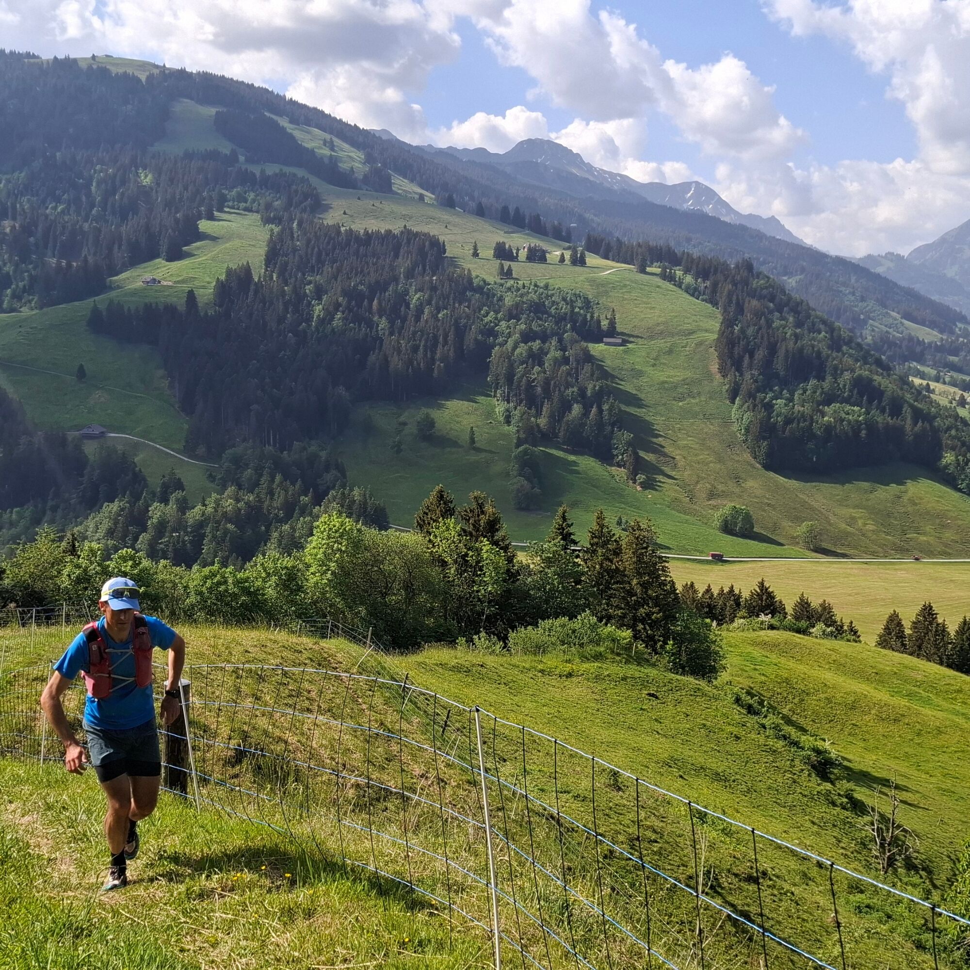
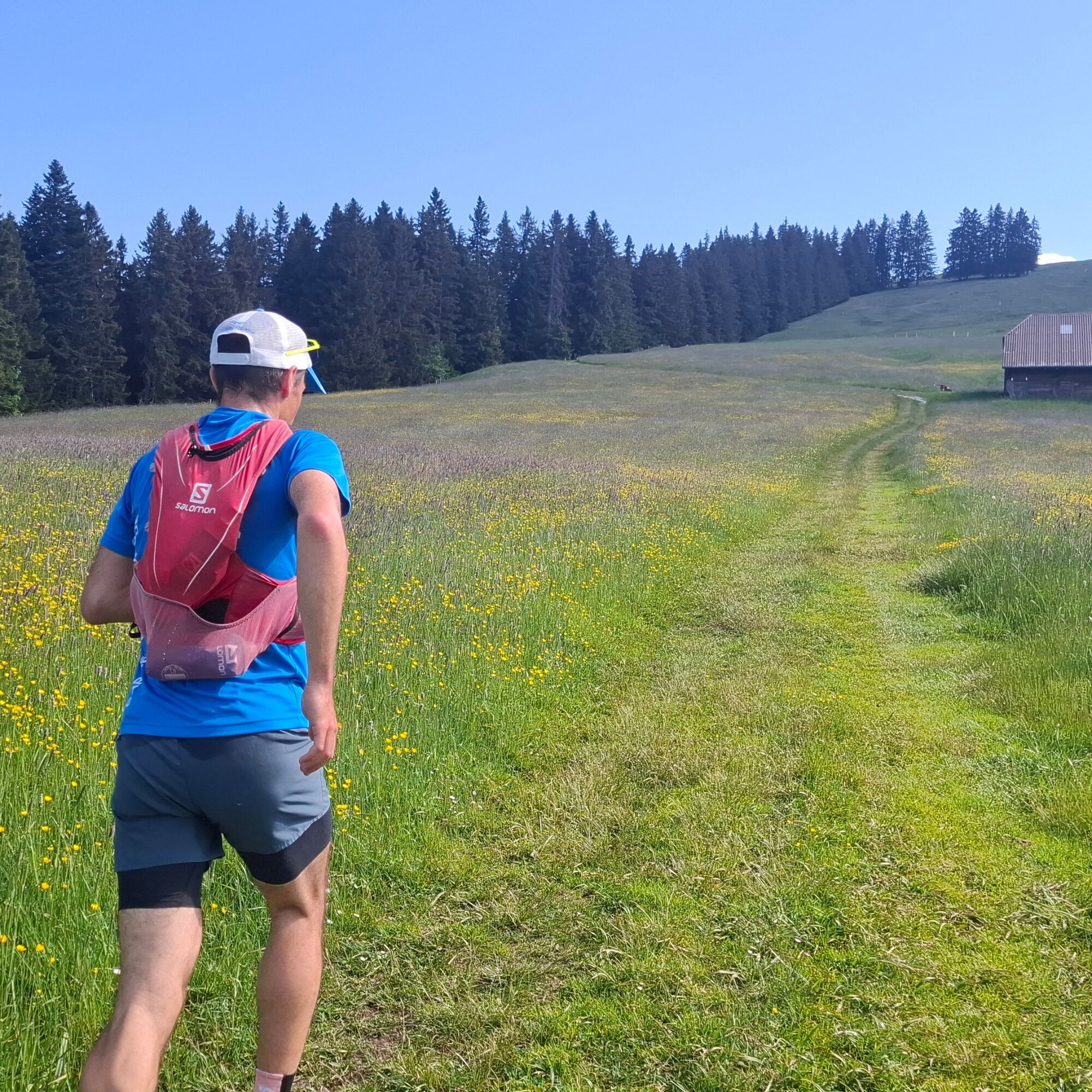
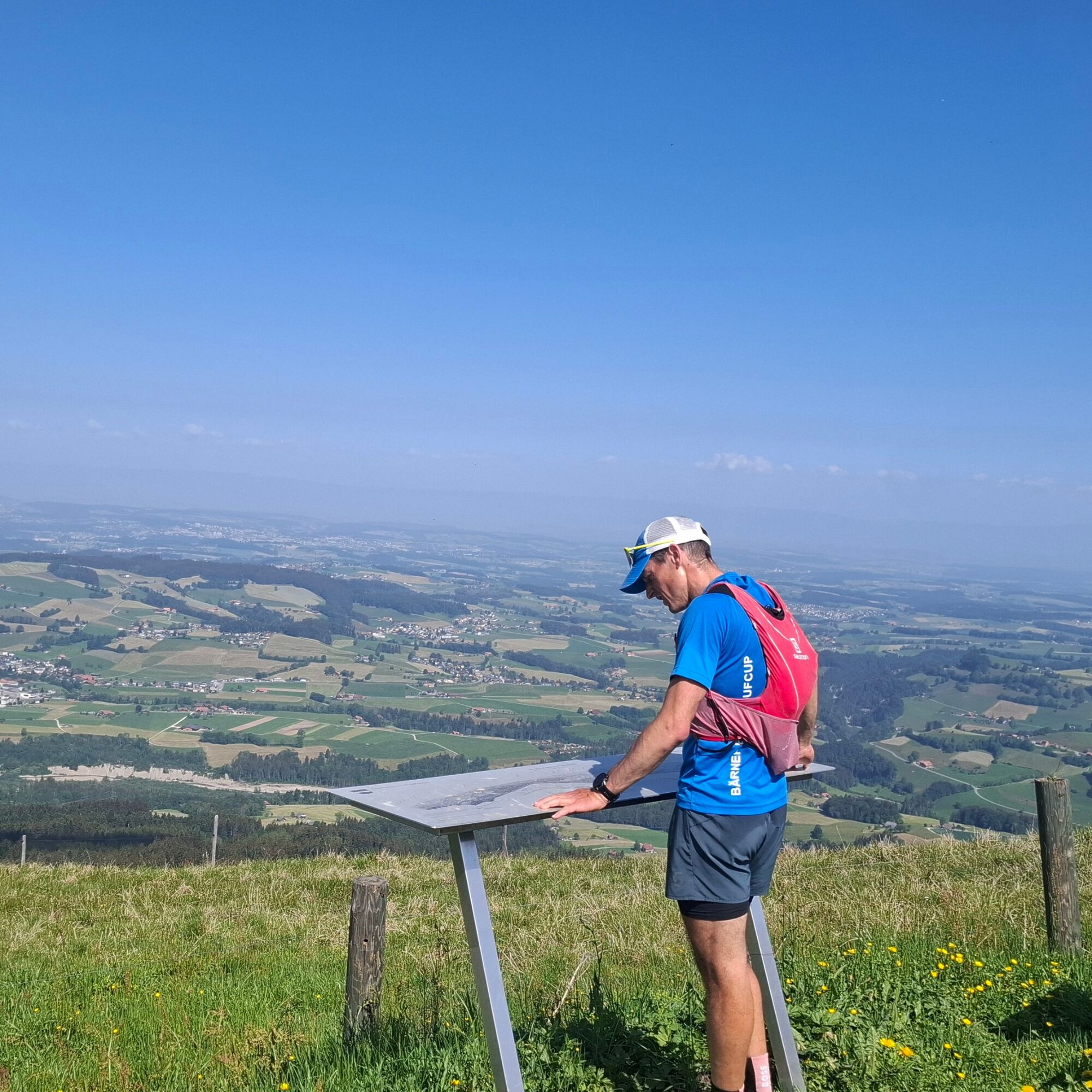
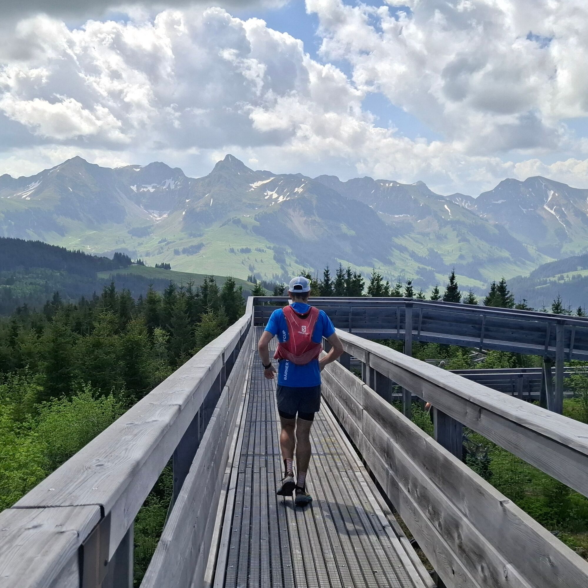
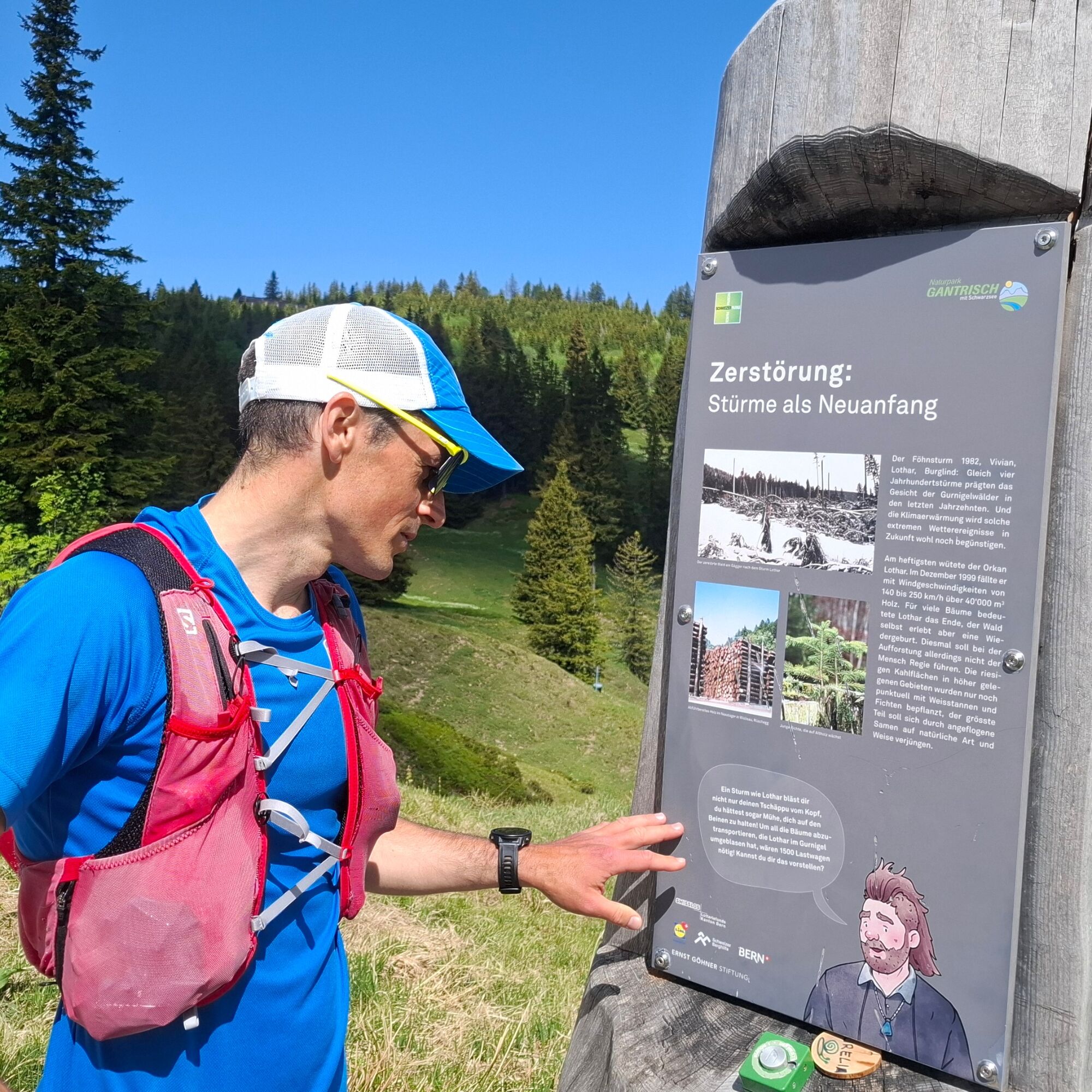
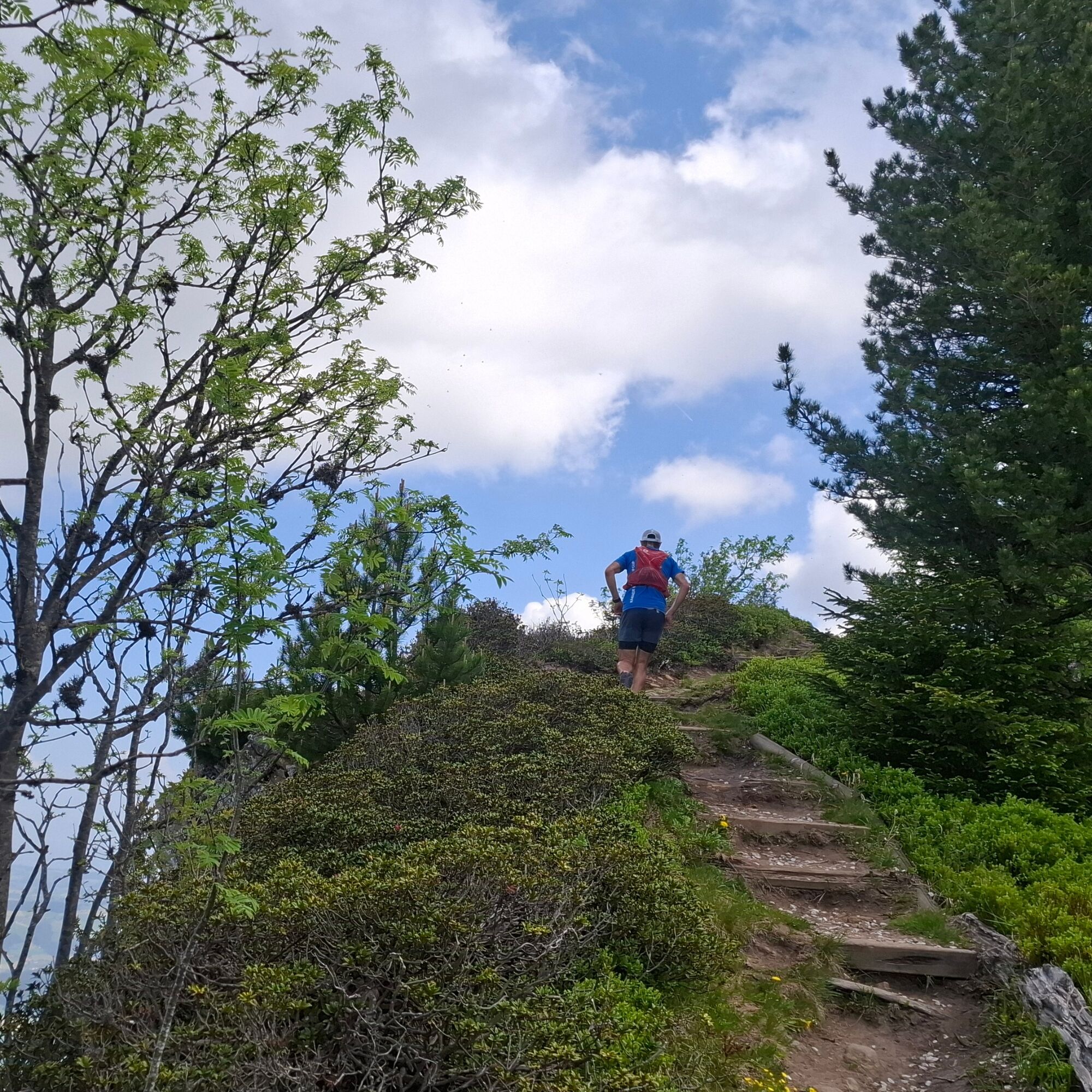
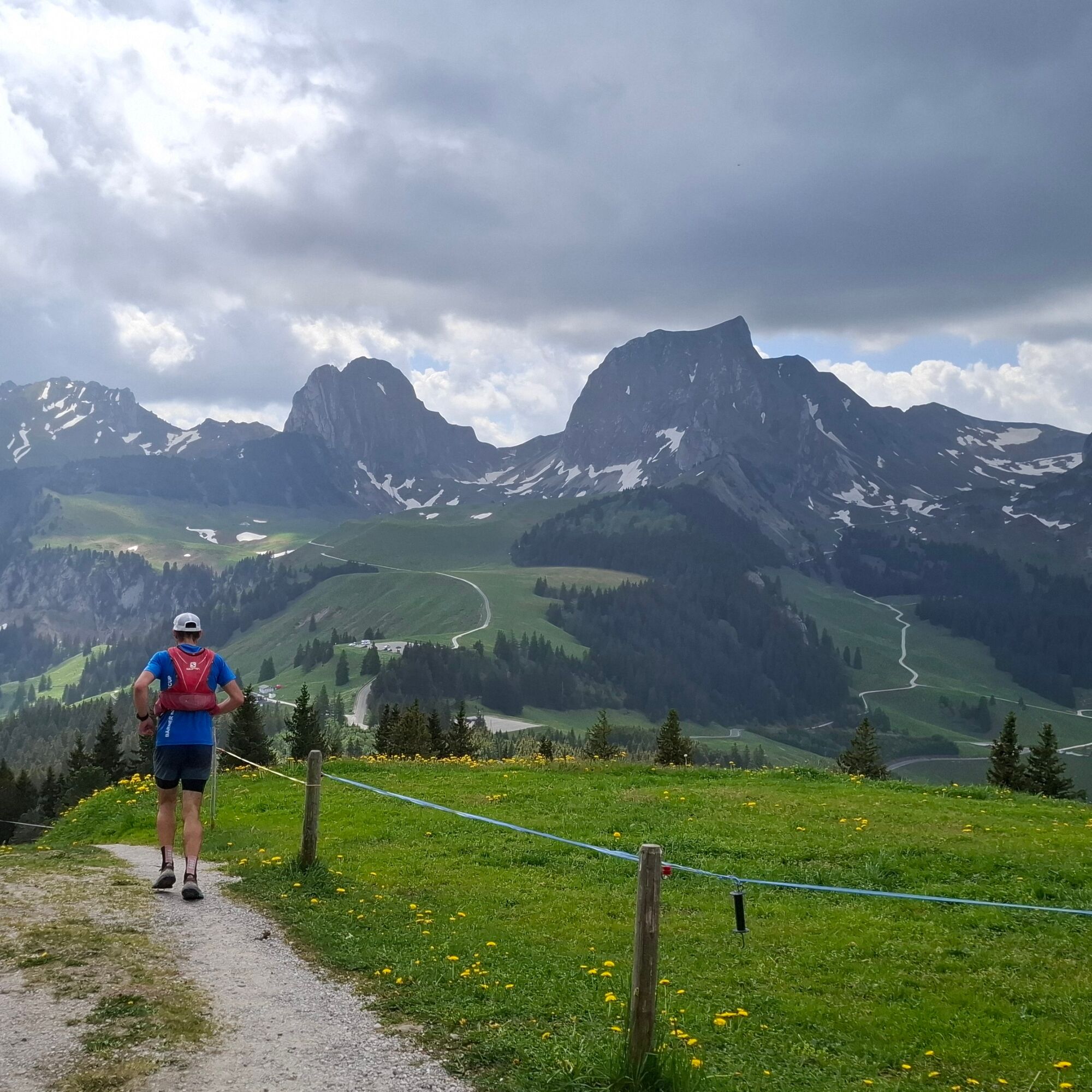
From the starting point at Zollhaus, the PostBus stop, things really get going right away. The steep climb over the Warme Syte and Hellstätt begins and drags on. Since the trail surface alternates between short stretches of singletrack, gravel, and grass, you never even notice how steep it is. By the time you reach Obere Hellstätt at the latest, you’ll be rewarded with your first views of Schwarzsee, the Gantrisch Range, and the Jura Mountains. Continuing toward the Horbüel Pass and Pfyffe, the terrain flattens out somewhat and the proportion of singletrack increases rapidly. Soon after, the Gäggersteg provides a wonderful highlight to the long climb. The Lothar-Holz-Steg is a great change of pace and takes you down to the Selital mountain hut. From there, the next climb leads to Schüpfeflue, where you can take in views of the entire Gürbetal valley and beyond. What a view! With a steady series of ups and downs, the ride flows smoothly toward the Gurnigel Pass, following the Panoramaweg. What a ride!


Trail running shoes, trail backpack with gel/drink, possibly trail poles
Getting There
Gurnigel, Mountain Lodge - SBB Schedule
Getting Here
T2
Treat yourself to a refreshing drink at the Gurnigel Berghaus after your hike. If you'd like to stay right there, you can spend the night in one of the studios.
Webové kamery z prehliadky

Obľúbené výlety v okolí
-
4,6
Gantrisch Summit Hike, 2176 m elevation
strednáTuristika 9,13 km -
4,5
Wasserscheide - Gantrisch Seeli
svetloTuristika 9,33 km -
4,3
High-altitude hike Gurnigel - Stockhorn
strednáTuristika 11,2 km -
3,7
Breccaschlund Panorama Trail (Switzerland Mobility 267)
strednáTuristika 12,9 km -
4,8
Summit hike Ochsen, 2188 m above sea level
strednáTuristika 7,94 km -
5,0
Schwarzsee Circular Route (SchweizMobil 787)
svetloZimná turistika 4,10 km -
5,0
Oberstockenalp
svetloTuristika 6,26 km -
5,0
Riggisalp-Brecca-Schwarzsee Gypsera
strednáTuristika 10,1 km -
4,7
Schwarzsee circular route Häxewääg
svetloTematická trasa 4,10 km -
4,8
Alpine Panorama Route Stage 20 (SchweizMobil 3)
strednáTuristika 12,2 km
Turistika a stopovanie


Nenechajte si ujsť ponuky a inšpiráciu na ďalšiu dovolenku
Vaša e-mailová adresa bol pridaný do poštového zoznamu.





