


With a bike along the land of Refošk wine (K1)
Úroveň náročnosti: 3
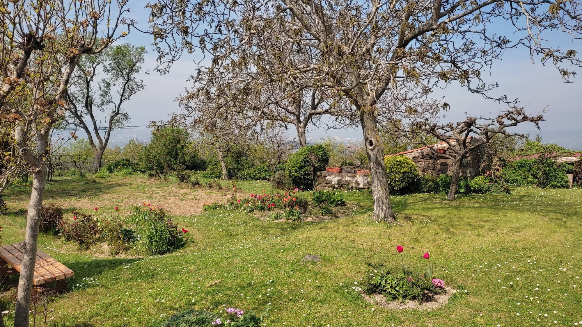
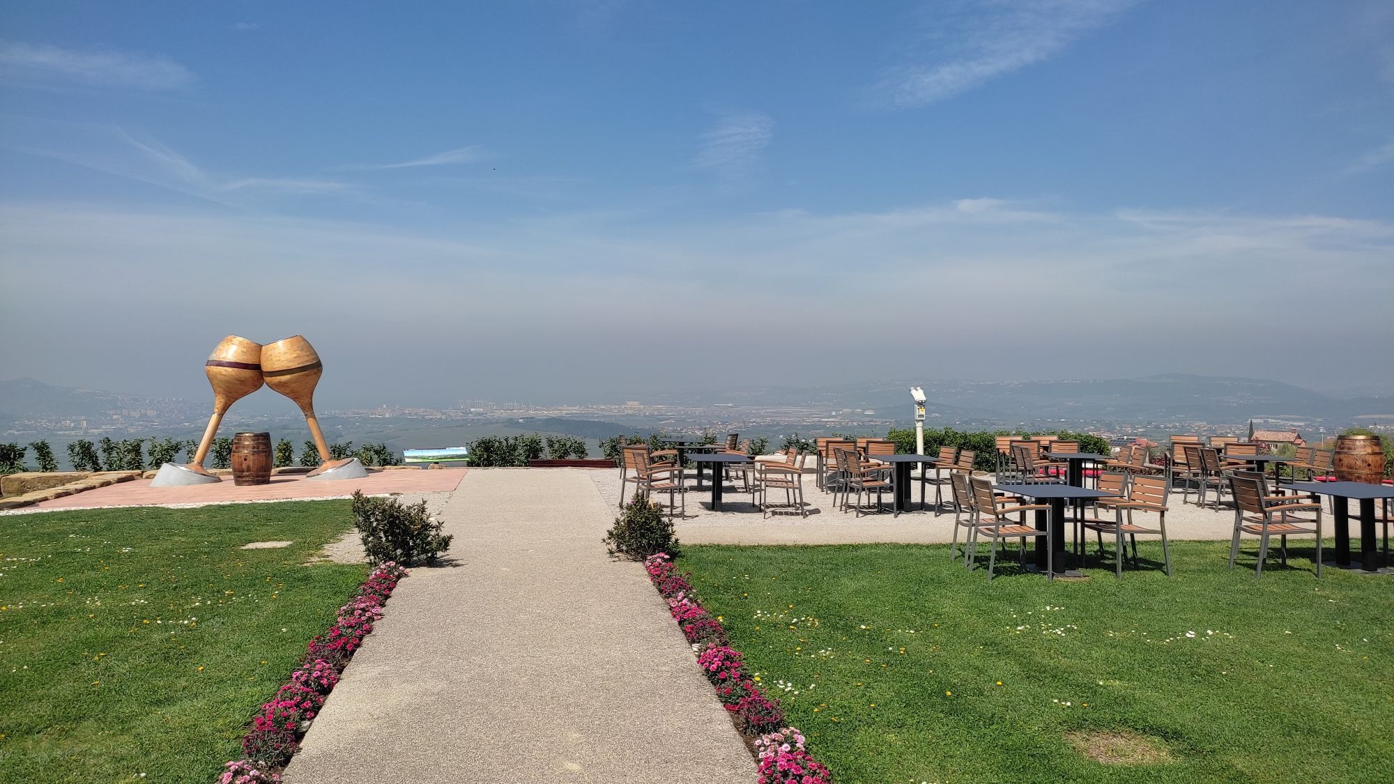
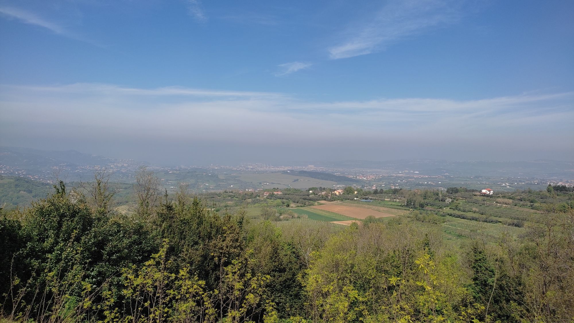
Dynamic soil of the Slovenian Istria, marvellous views over the Gulf of Koper and the hinterland, the hills of Slovenian Istria, in clear weather also the Giulian and Carniola Alps and Dolomites. It is...
Dynamic soil of the Slovenian Istria, marvellous views over the Gulf of Koper and the hinterland, the hills of Slovenian Istria, in clear weather also the Giulian and Carniola Alps and Dolomites. It is possible to carry out the track in two parts, using the connection KavaliÄi – Marezige.


We start at the parking place, from where we take the bicycle path under the highway, continue along the local roads with the traffic light, and go up the hill between the cemetery and the wine cellar Vinakoper. There, we turn left on the top of the hill Škocjanski griÄ and slightly sweep towards the main road.
There we turn right and, at the following crossroads, continue straight ahead for about 300 metres and join again the main road, which we leave after another 300 metres immediately behind the school and the tavern on the right. We start to climb gradually over the hill and at the following crossroads turn left (the signpost Bonini), go slightly down, and then steeply up the hill towards Bonini.
From there, we make a sharp turning left on the panoramic crest and continue between the houses until reaching the main road below Sv. Anton.
Here we turn right, up towards the village with a store and a tavern and after 300 metres behind the church of Sv. Anton turn right towards the next crossroad in KavaliÄi.* in case we want to reduce the track on half, or leave out the most difficult part along the dynamic hills, we can continue straight ahead towards Marezige. However, the main track turns left in the direction of Lopar.
A short descent is followed by a longer gradual climb which brings us to the ethnological collection “the Bardinc house”, worth visiting.
From here, the path continues to climb until the crossroads with a mighty oak, from where a wide view opens in all directions.
We turn left towards Popetre (the signpost GraÄišÄe) and down to Trsek, situated along the steep slope above the upper stream of the river Dragonja.
From here, an even steeper descend follows until the stream Dernarnik and again a climb towards Truške. We pass by the former school on Korina and continue another 200 metres until reaching the crossroads (chapel, tavern).
Even though the road sweeps towards Marezige, we turn left and, among the wide vineyards surrounded by stone walls, go down in a sort of saddle, and from there climb gradually to a long, almost horizontal mountain ridge, passing the sharp turning with the reminder of the American parachutist Charles R. Dogherty and ahead, by the natural sculpture in the form of a sheep, towards Boršt.
Here we turn right and down to the crossroads for Glem and than right again, down a very steer slope towards the bottom of the valley and over the bridge of Rokava. There is another short and quite steer climb towards the crossroads (saddle) –straight ahead for BabiÄi and right for Marezige, the heart of the Land of Refošk wine. Here we can rest and enjoy the view. All the difficult ascents are already behind us and there is only the return to Koper waiting for us.
We drive to the church of St. Cross, turn left by the school and down to Montinjan and ahead To Vanganel where the descend steep ends.
Here we turn right, pass by the tavern and the school with the monument to the fallen soldiers, where we turn left and continue along the valley towards Škocjan. We sweep down the hill near the wine cellar Vinakoper, go under the highway and return to the train station, the starting point of our vagrancy.
Áno
Normal cycling gear
No special safety issues
Motorway connection with Ljubljana and Trieste
You can get to Koper both by train and by bus Closest airport is in Trieste.
Paid or free parking available
3
CURIOSITIES ALONG THE PATH
- Typical architecture of Istrian villages
- The Bradinc house in Lopar
- Puddles
- The olive groves and vineyards
Obľúbené výlety v okolí
-
4,1
Parenzana cycling trail
ťažkéCyklistika 129,3 km -
5,0
Val Rosandra Rundwanderung
strednáTuristika 8,06 km -
4,4
Parenzana Slowenien Italien 2020
svetloCyklistika 38,4 km -
5,0
Val Rosandra,San Dorligo della Valle, kleine Runde
strednáTuristika 7,42 km -
5,0
Strunjan
svetloElektronický bicykel 41,5 km -
Terst a Koper / Koper Ring (R050)
strednáDiaľková cyklotrasa 52,3 km -
4,3
Trieste - Giordano Cottur / Viadotto panoramico
svetloMountainbike 36,7 km -
5,0
Trail on the blooming Slavnik
strednáTuristika 7,79 km -
Slavnik iz Podgorja
strednáTuristika 5,72 km -
4,5
Circular "Trail for Heart"
svetloTuristika 9,50 km

Turistika a stopovanie


Nenechajte si ujsť ponuky a inšpiráciu na ďalšiu dovolenku
Vaša e-mailová adresa bol pridaný do poštového zoznamu.