







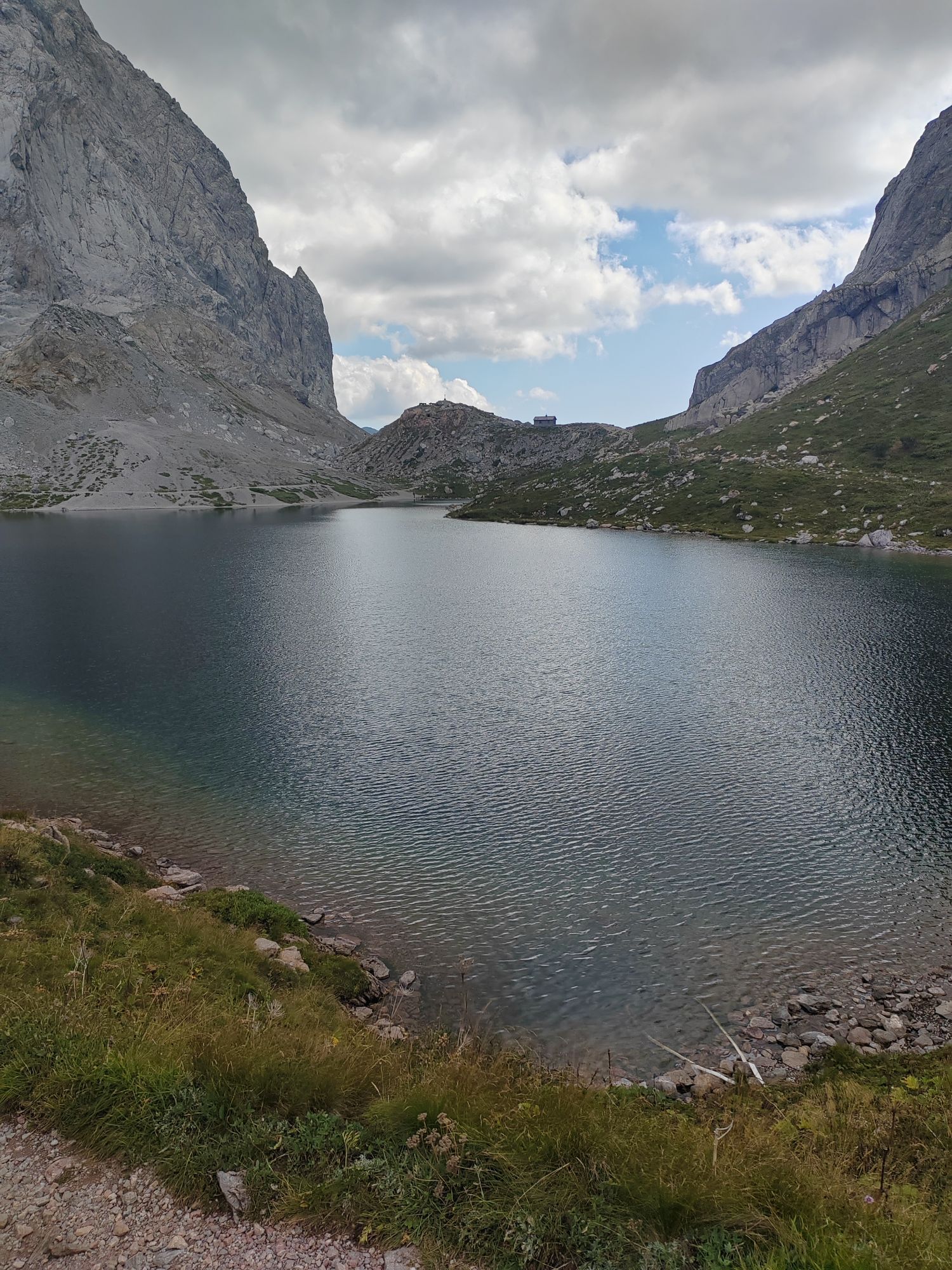
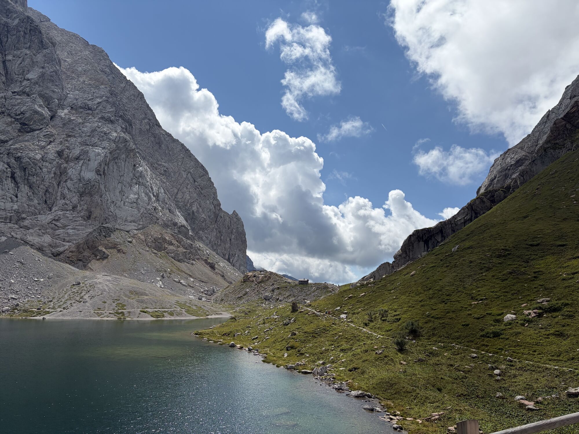
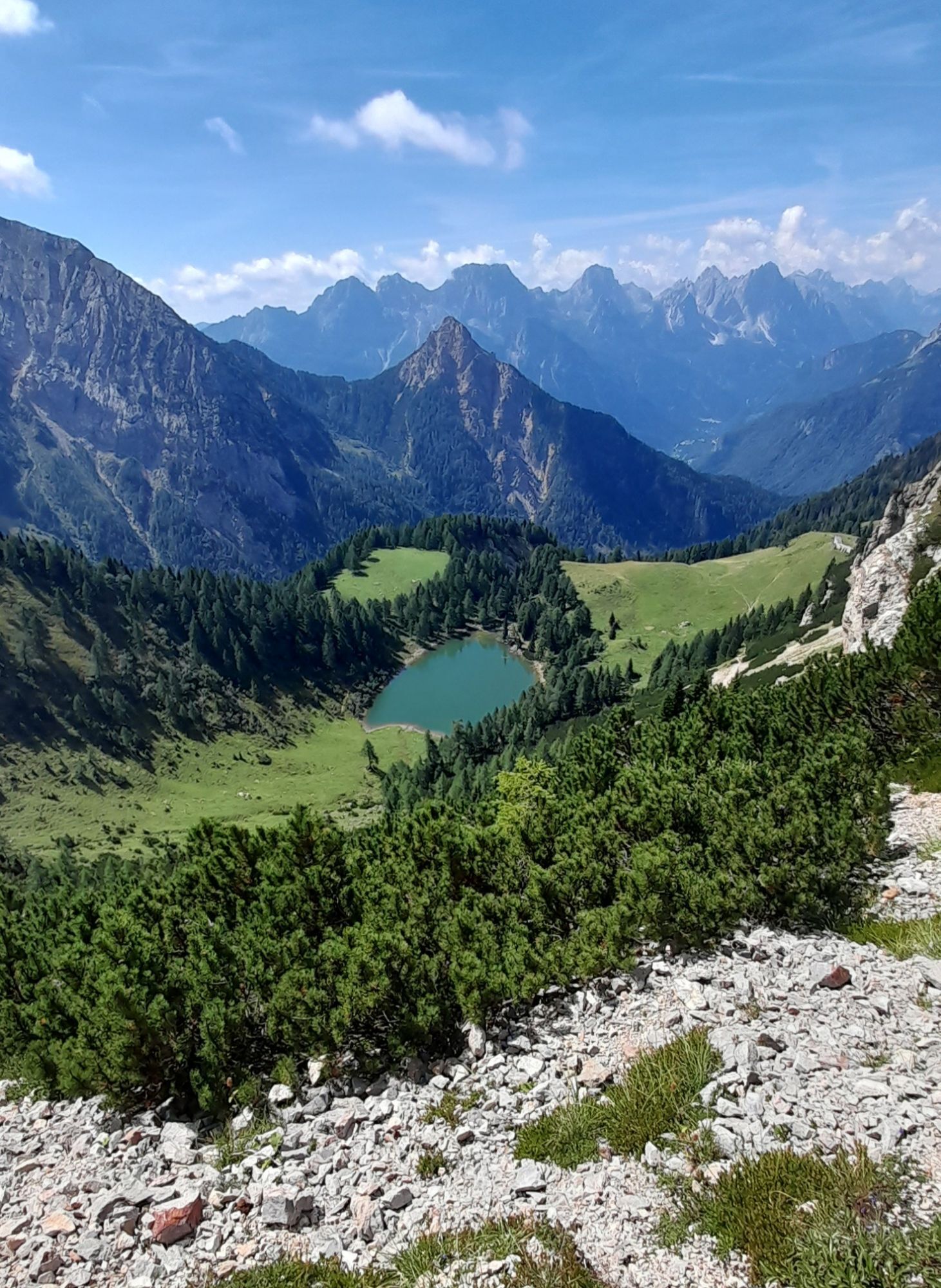
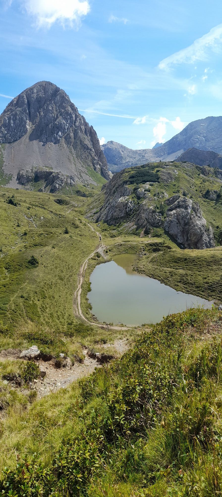
Karnischer Höhenweg – Etappe 4: Hochweißsteinhaus – Wolayersee Hütte

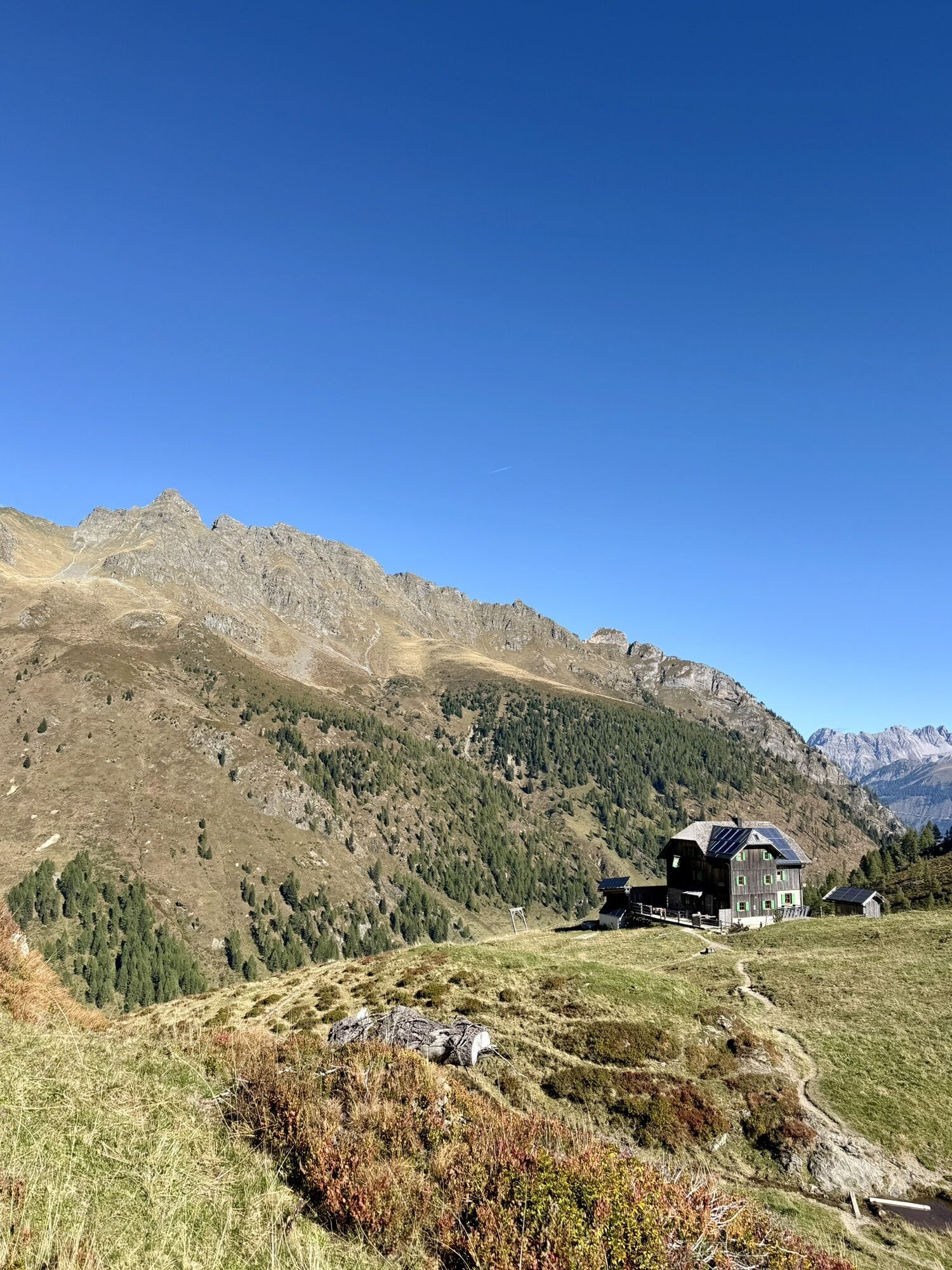
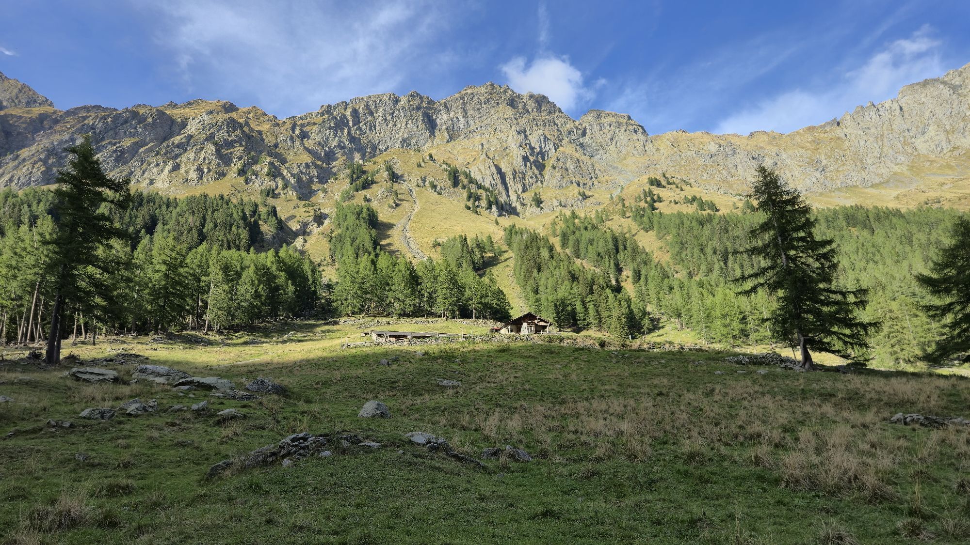
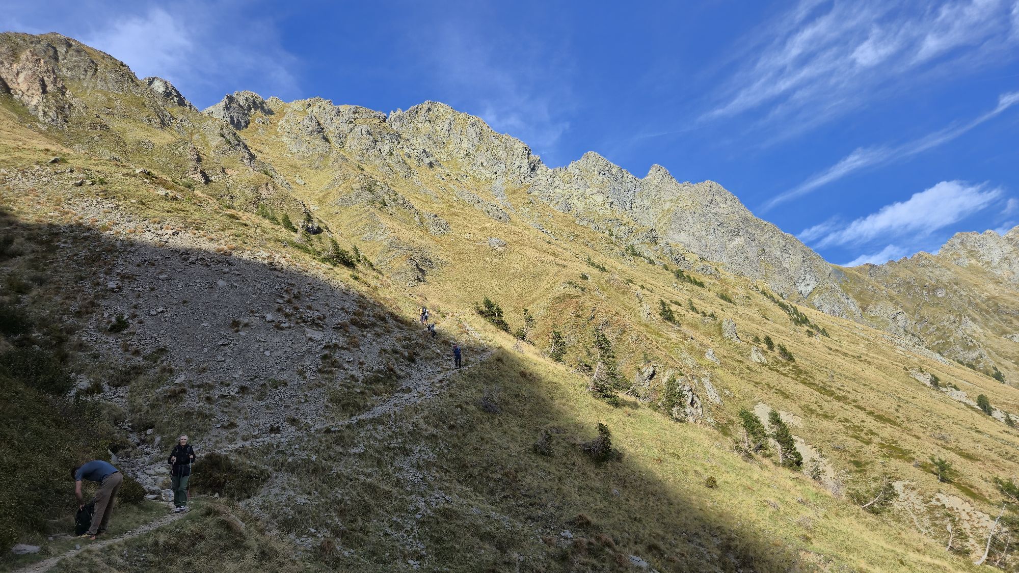
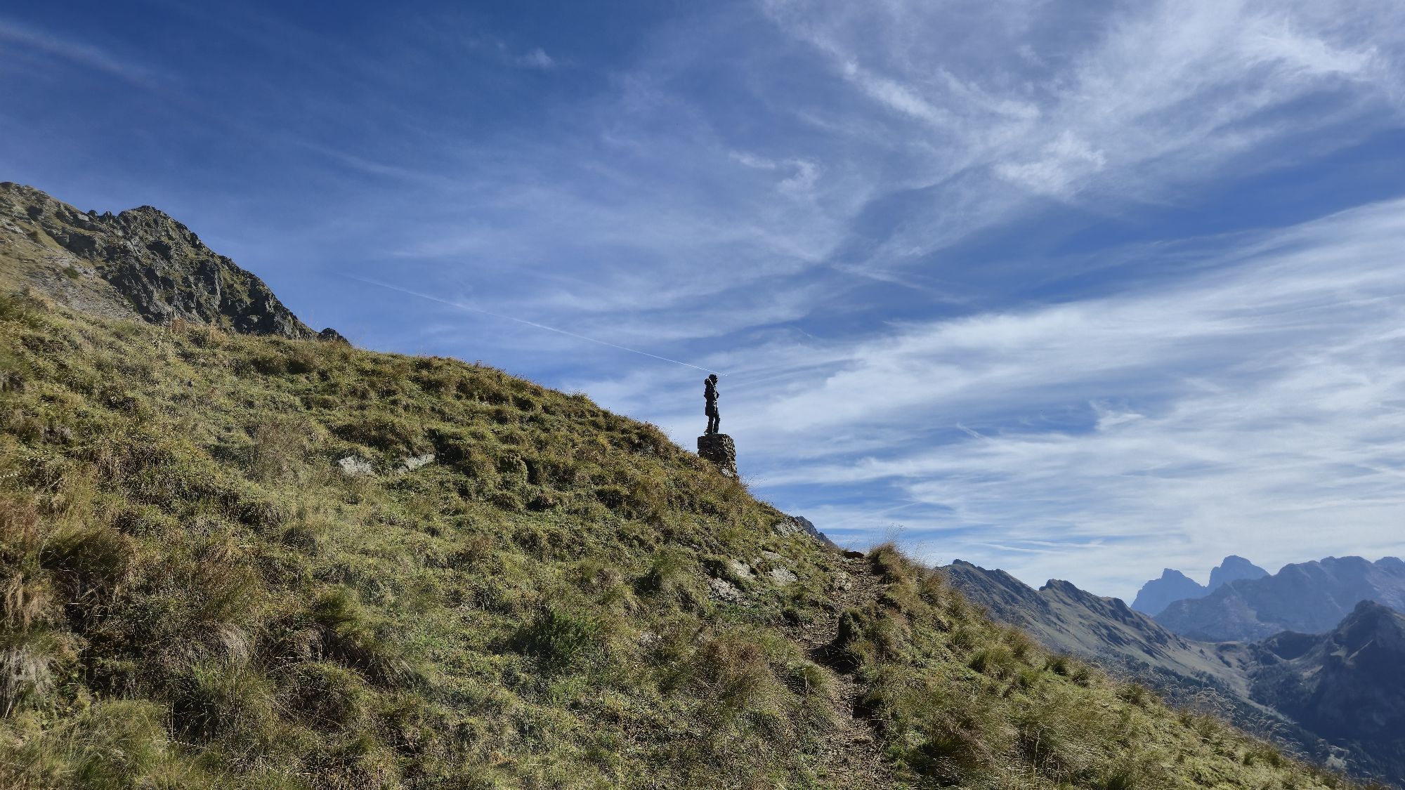
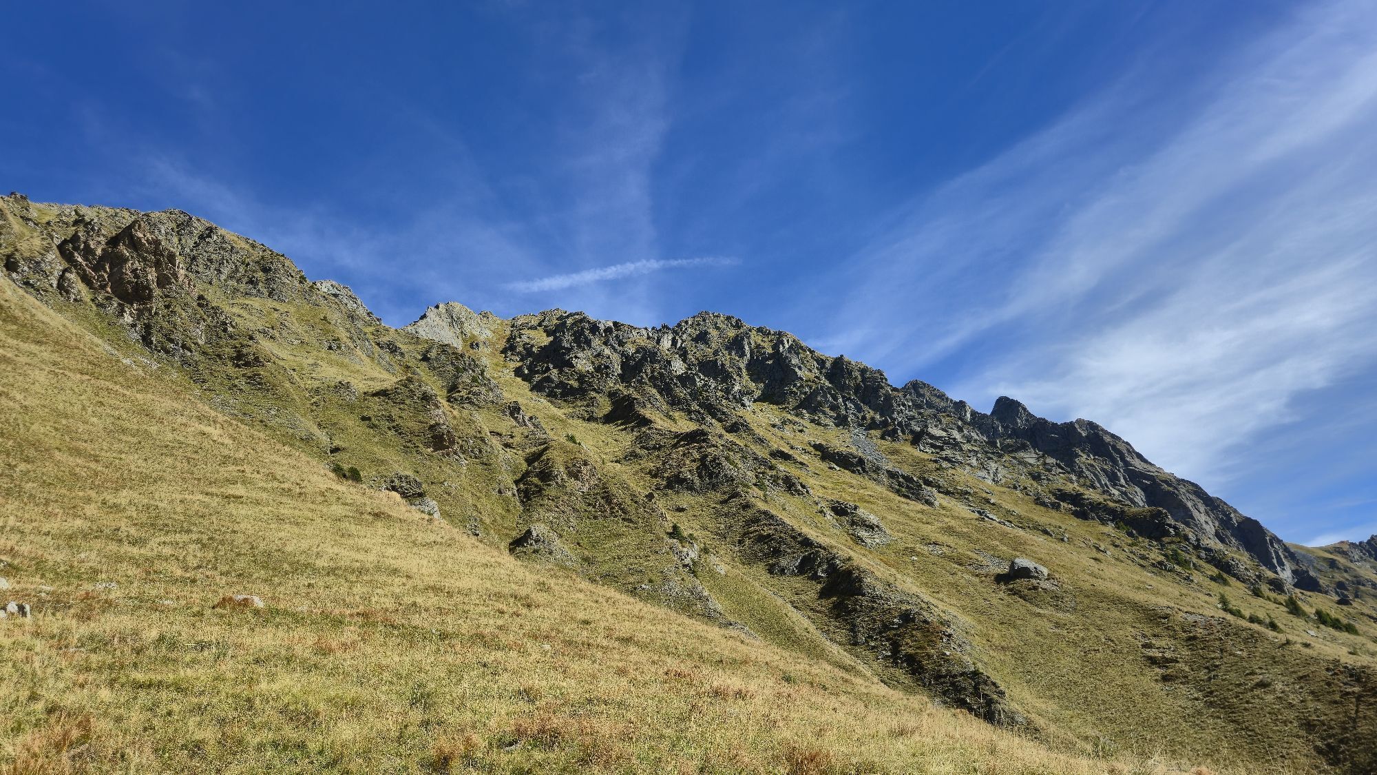
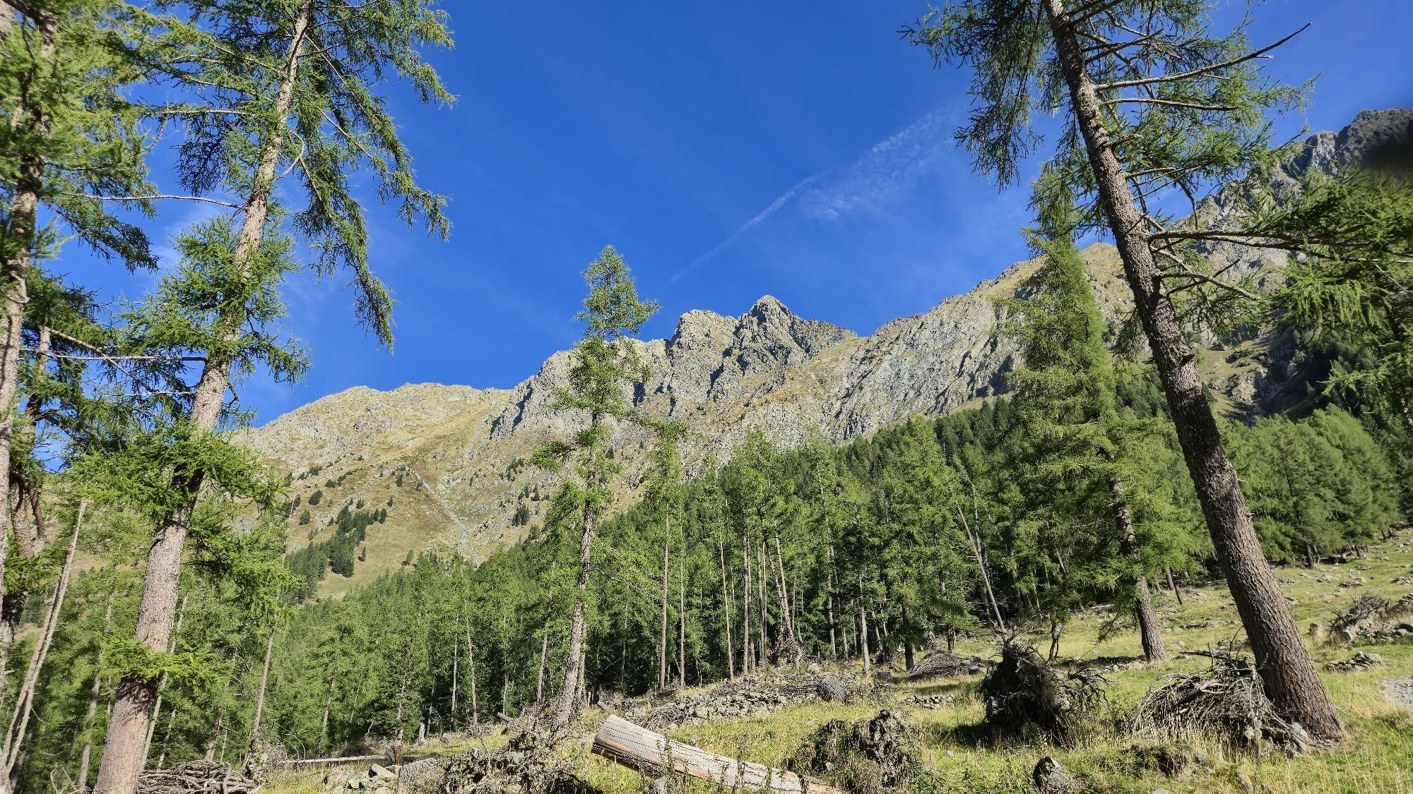
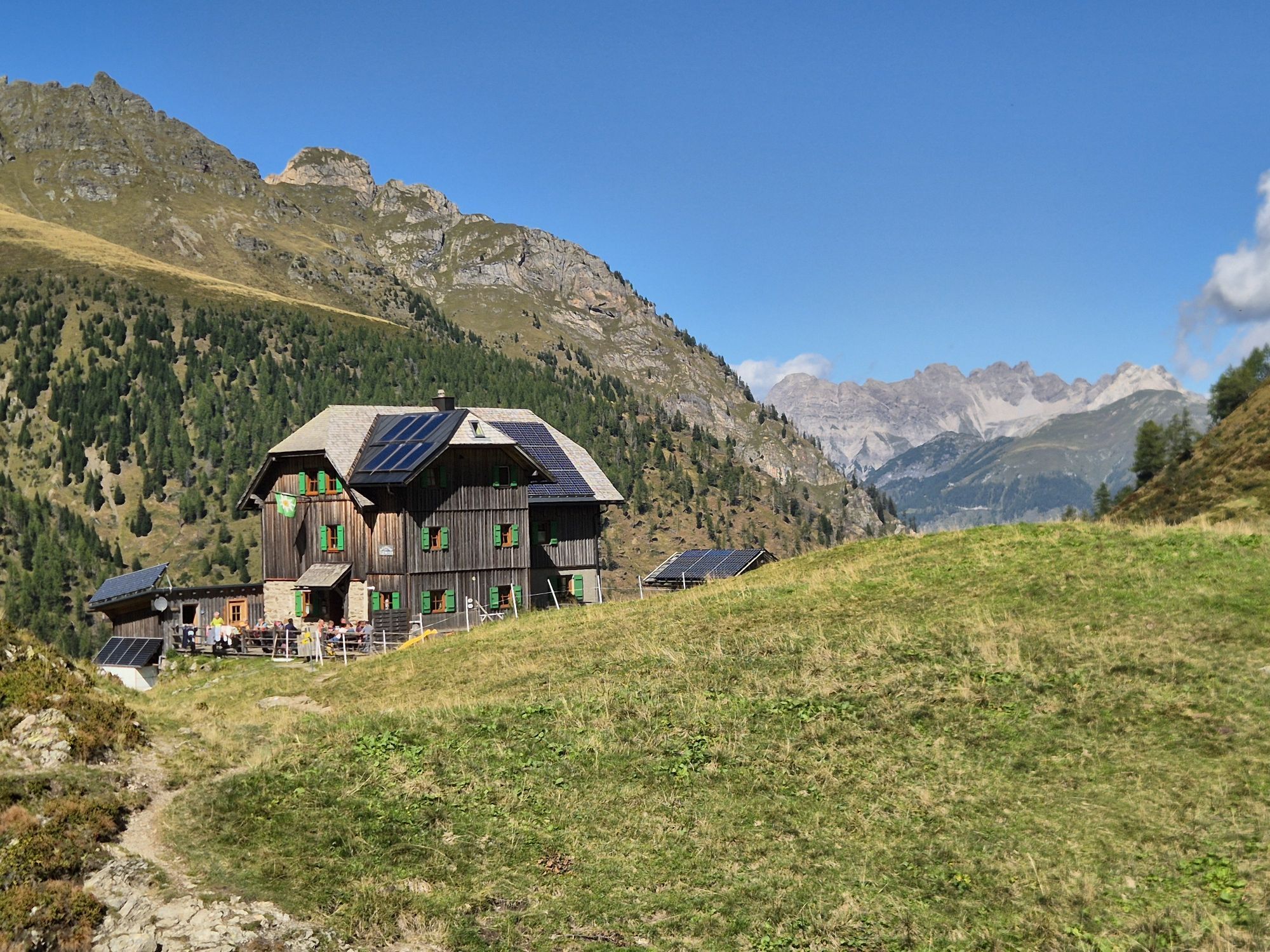
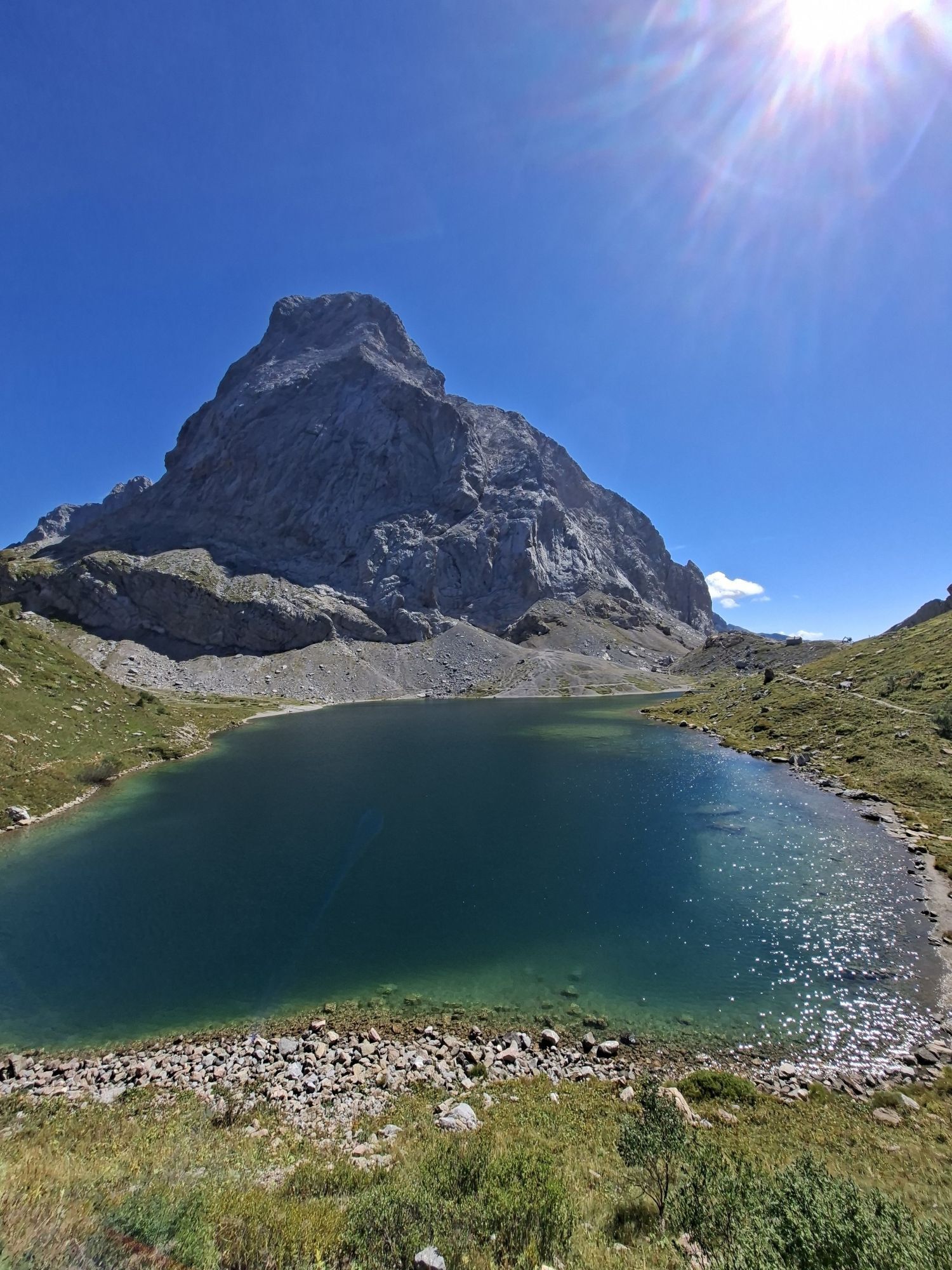
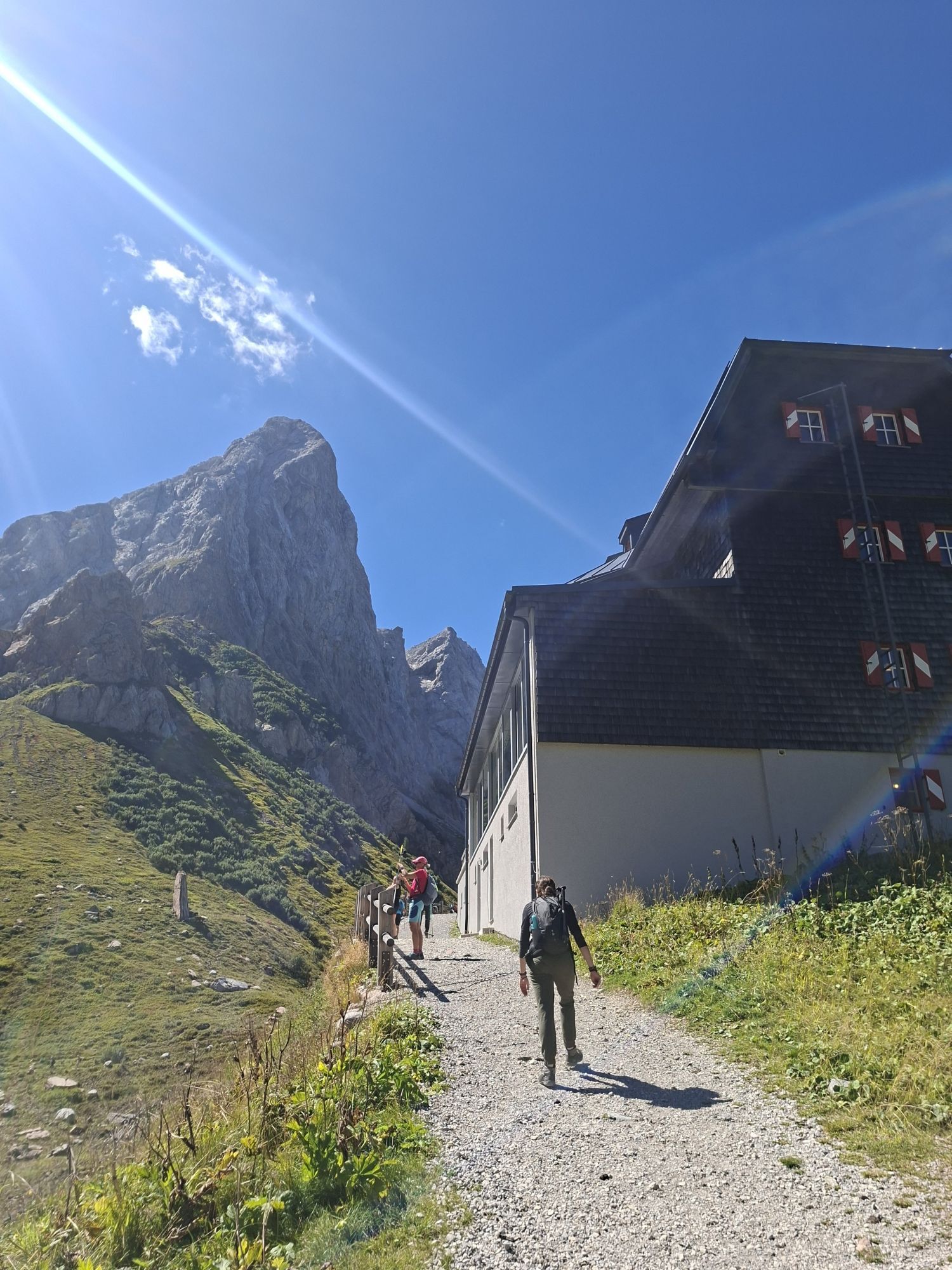
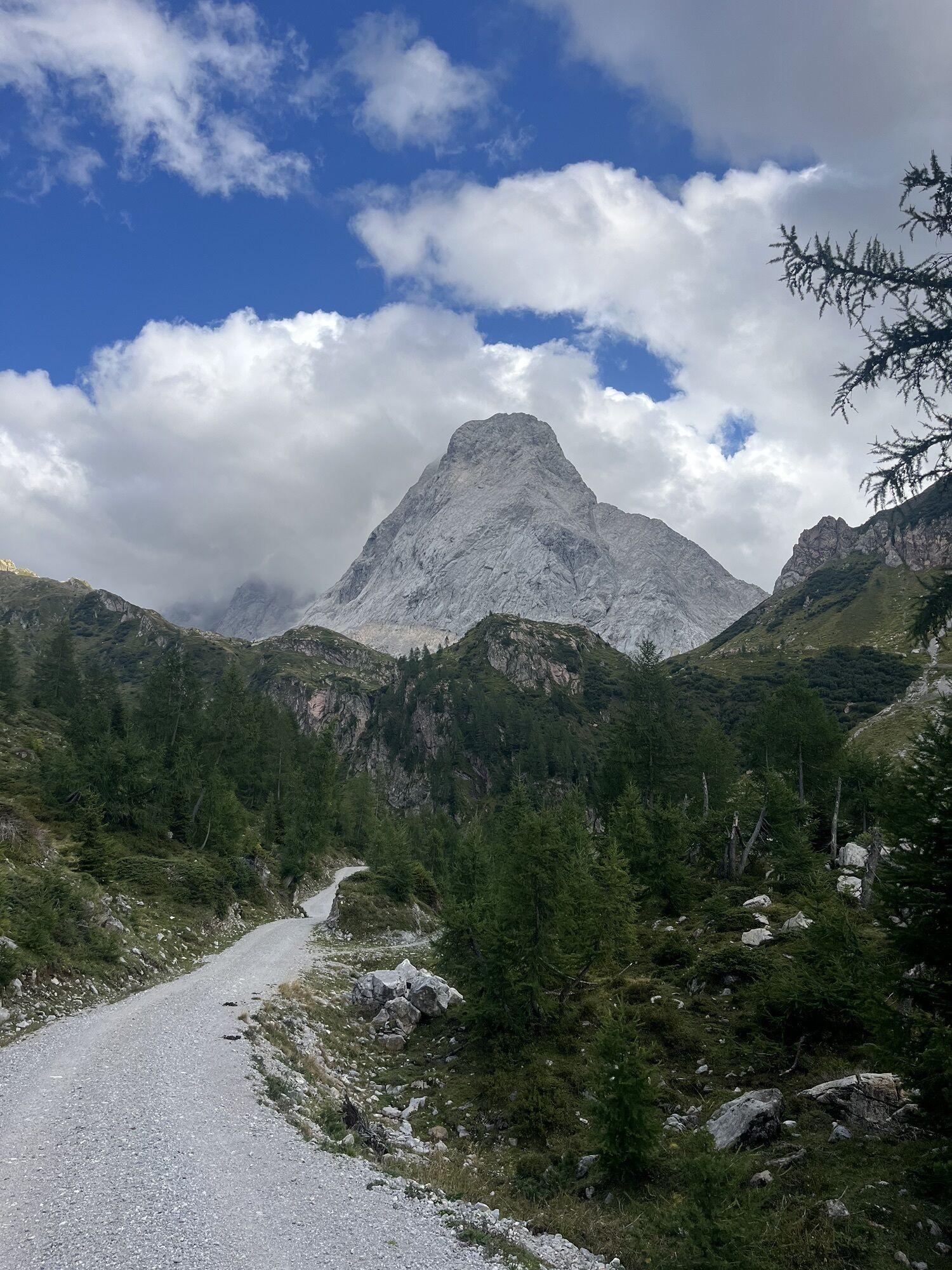
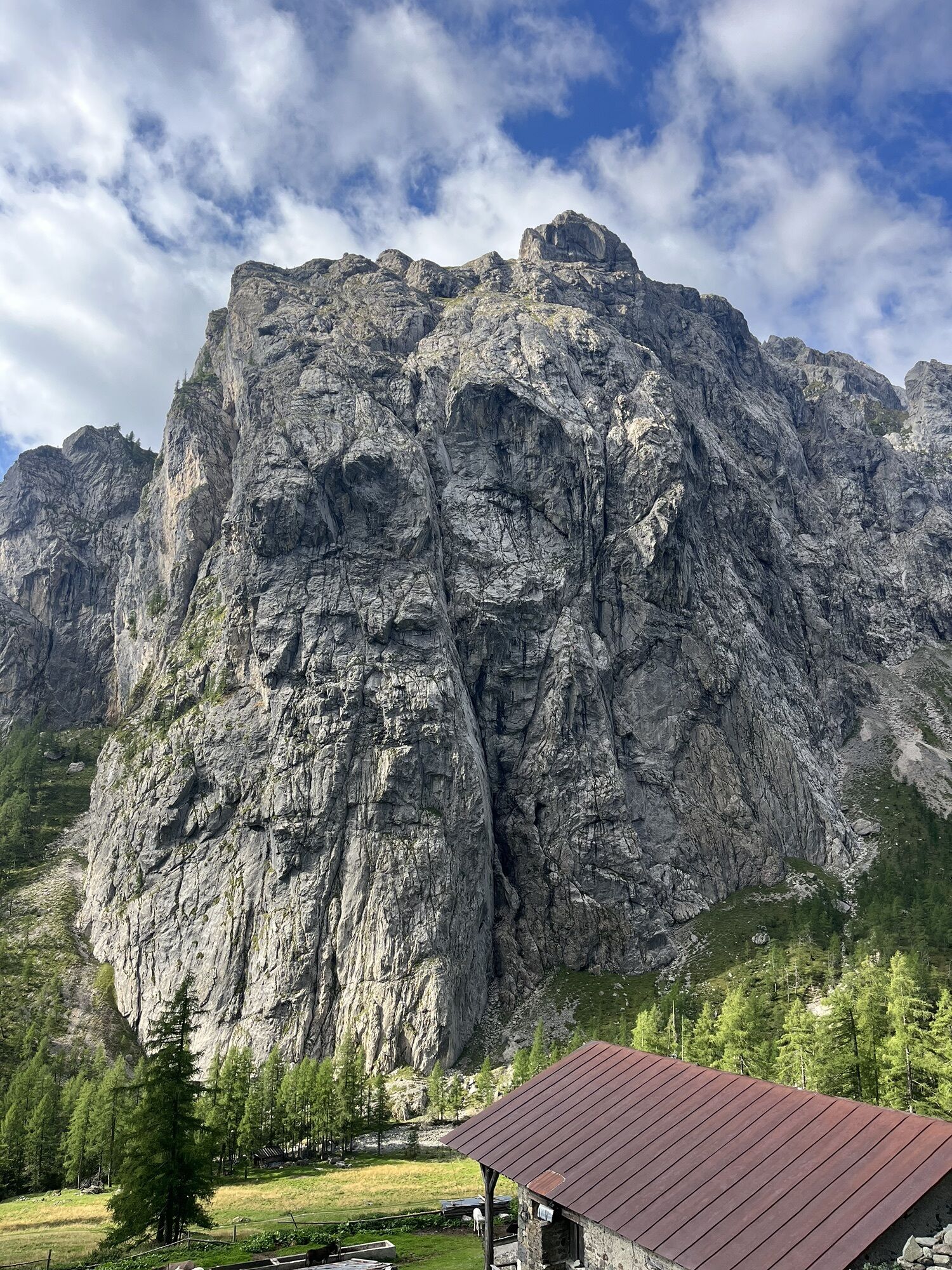
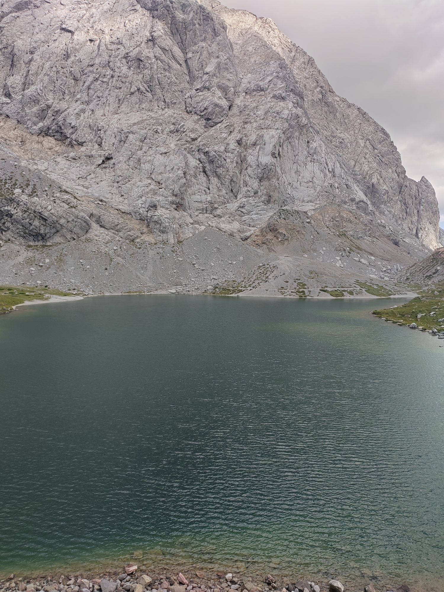
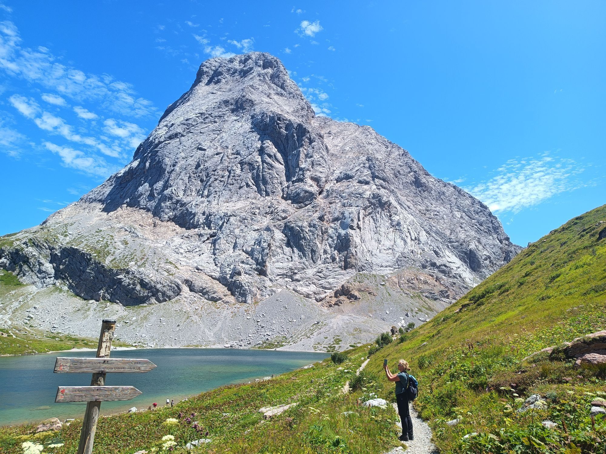
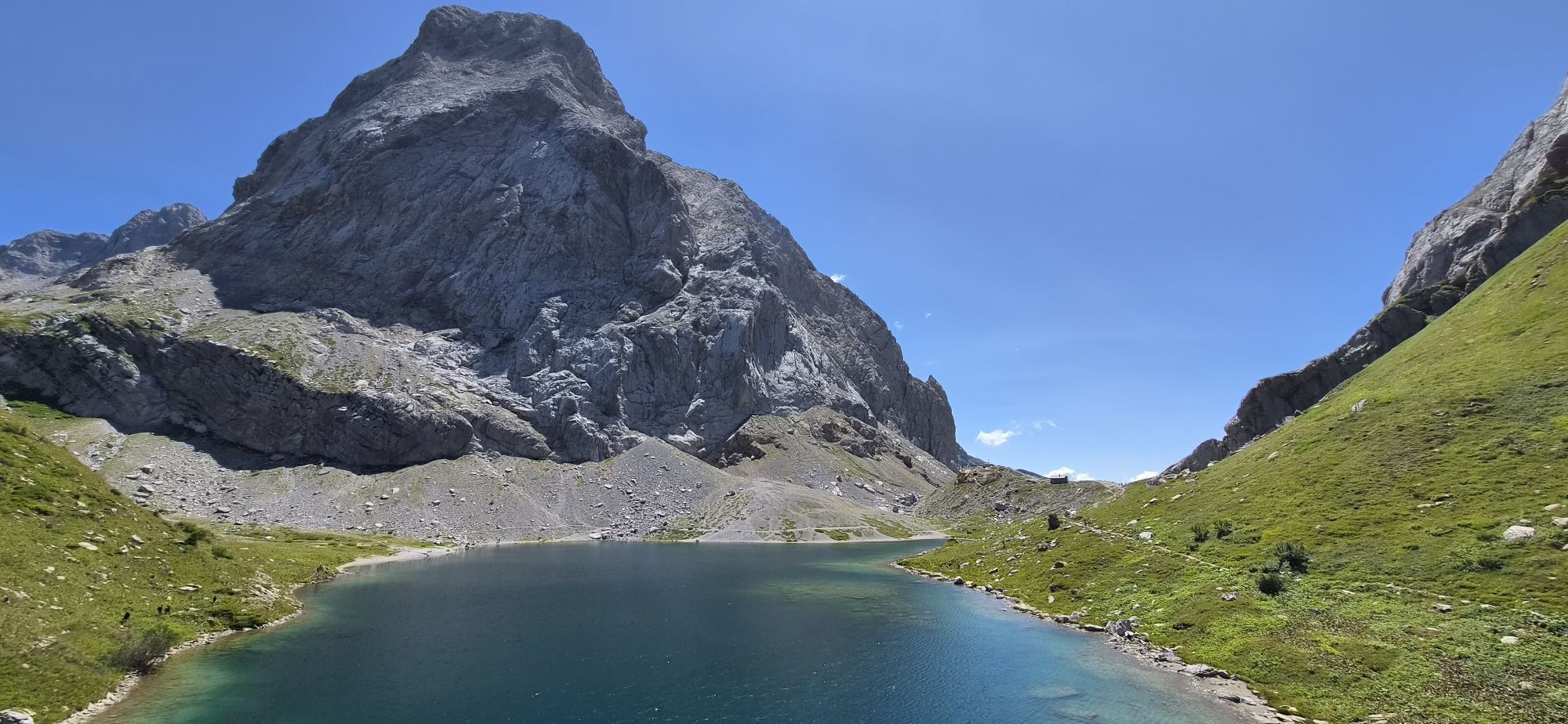
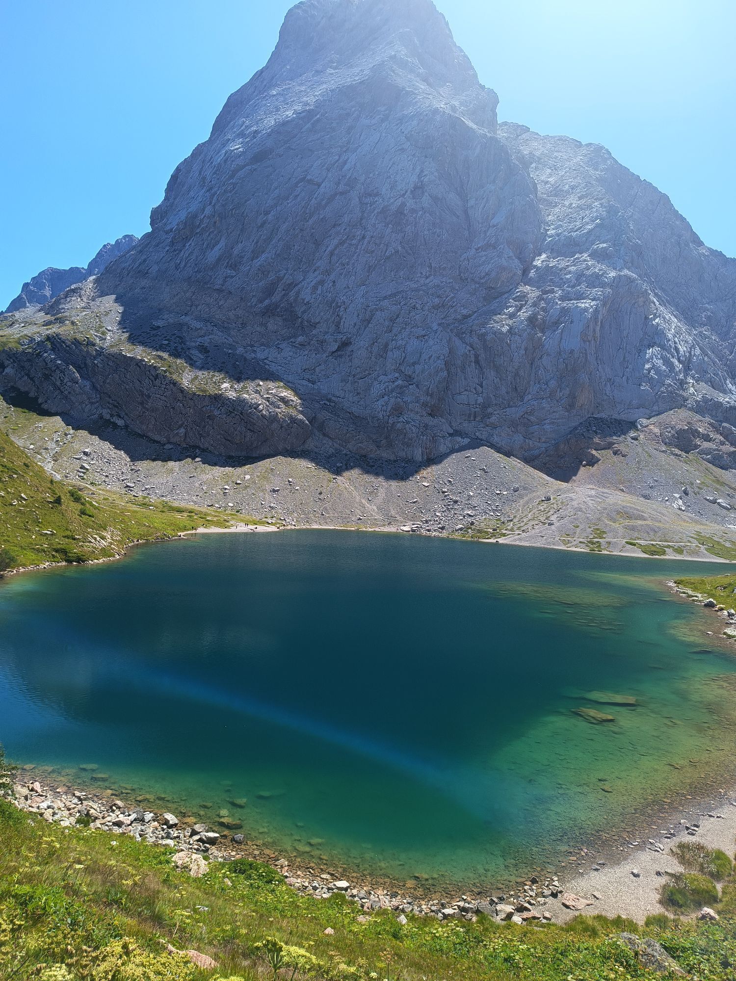
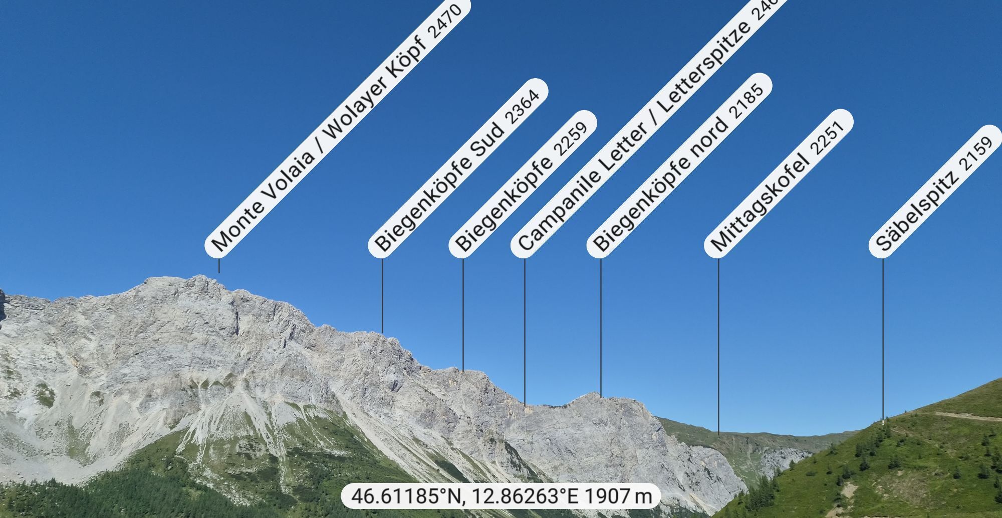
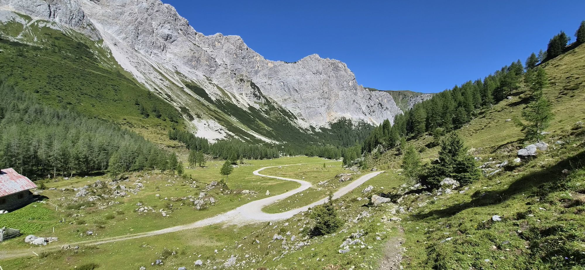
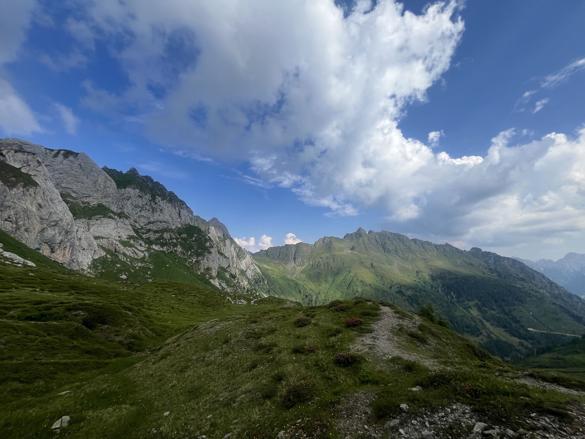
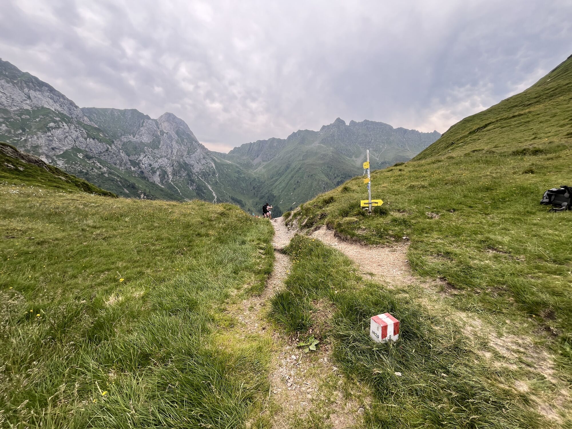
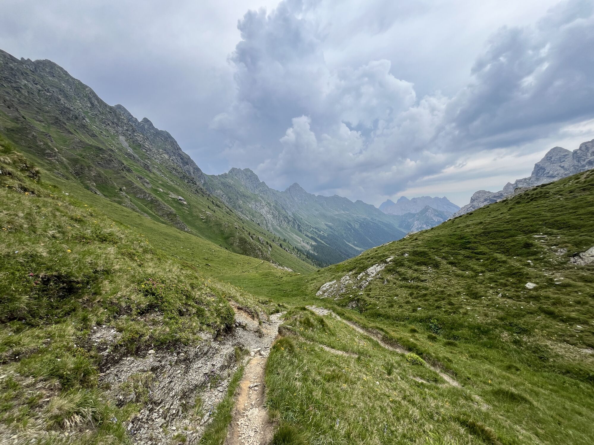
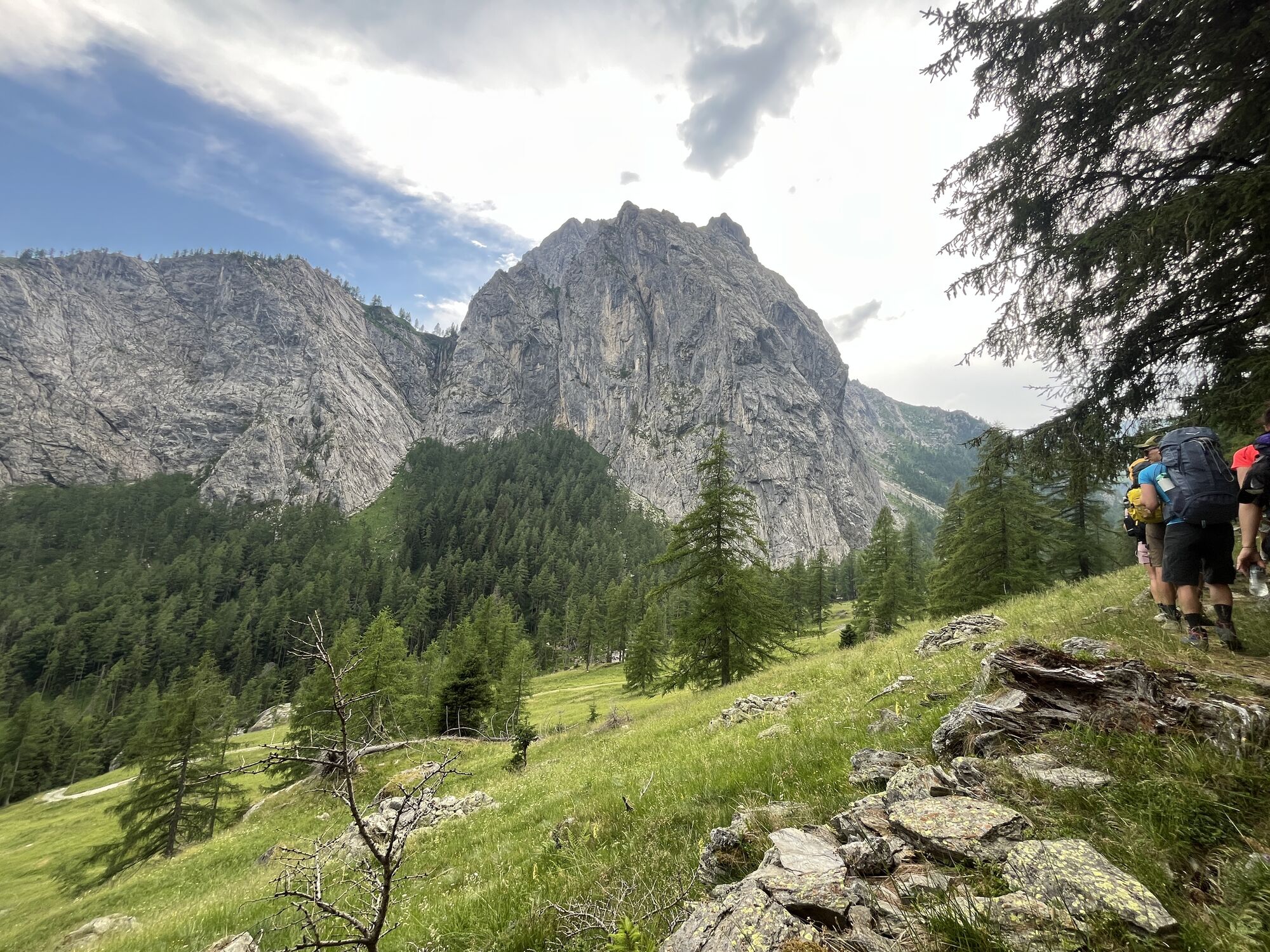
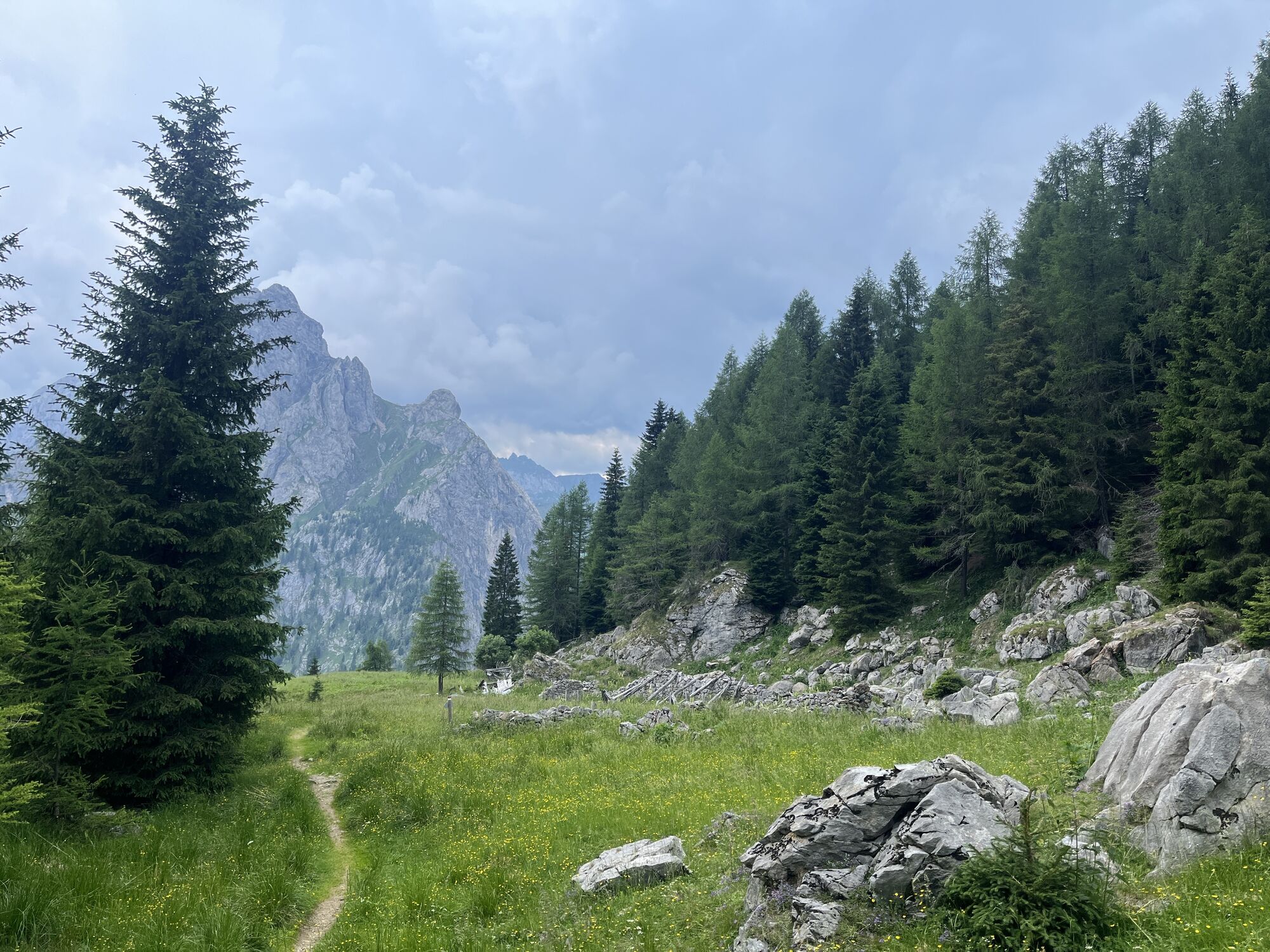
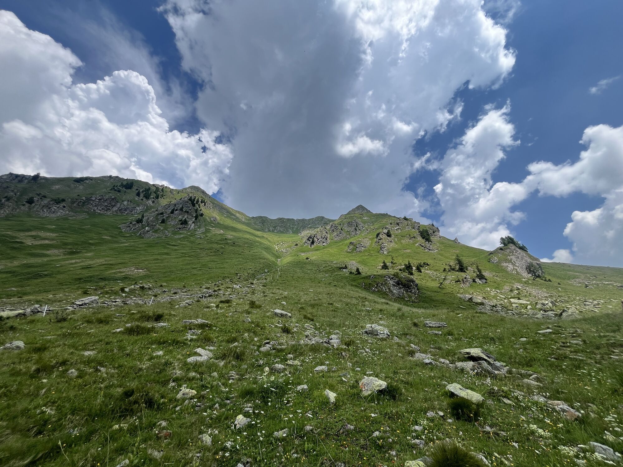
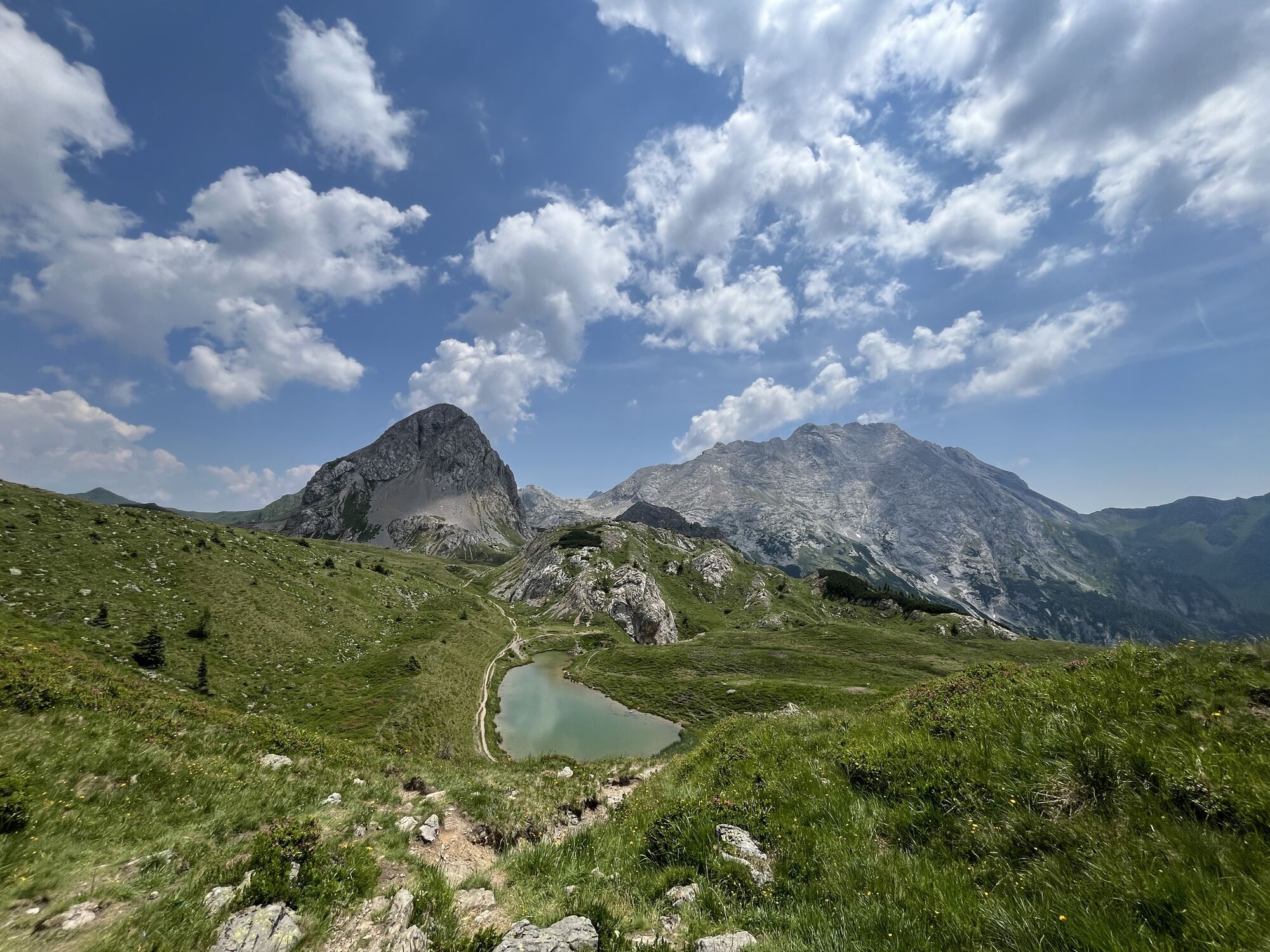
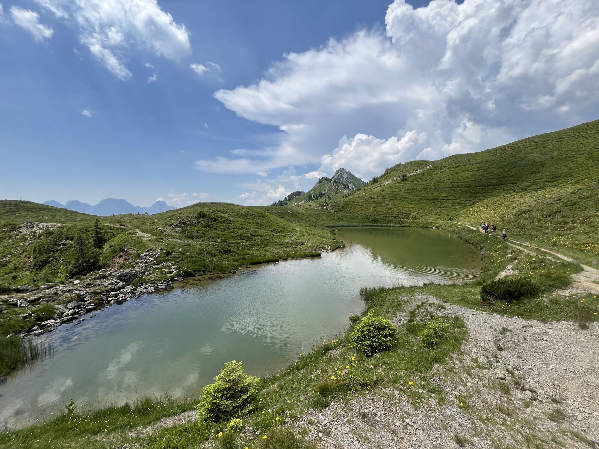
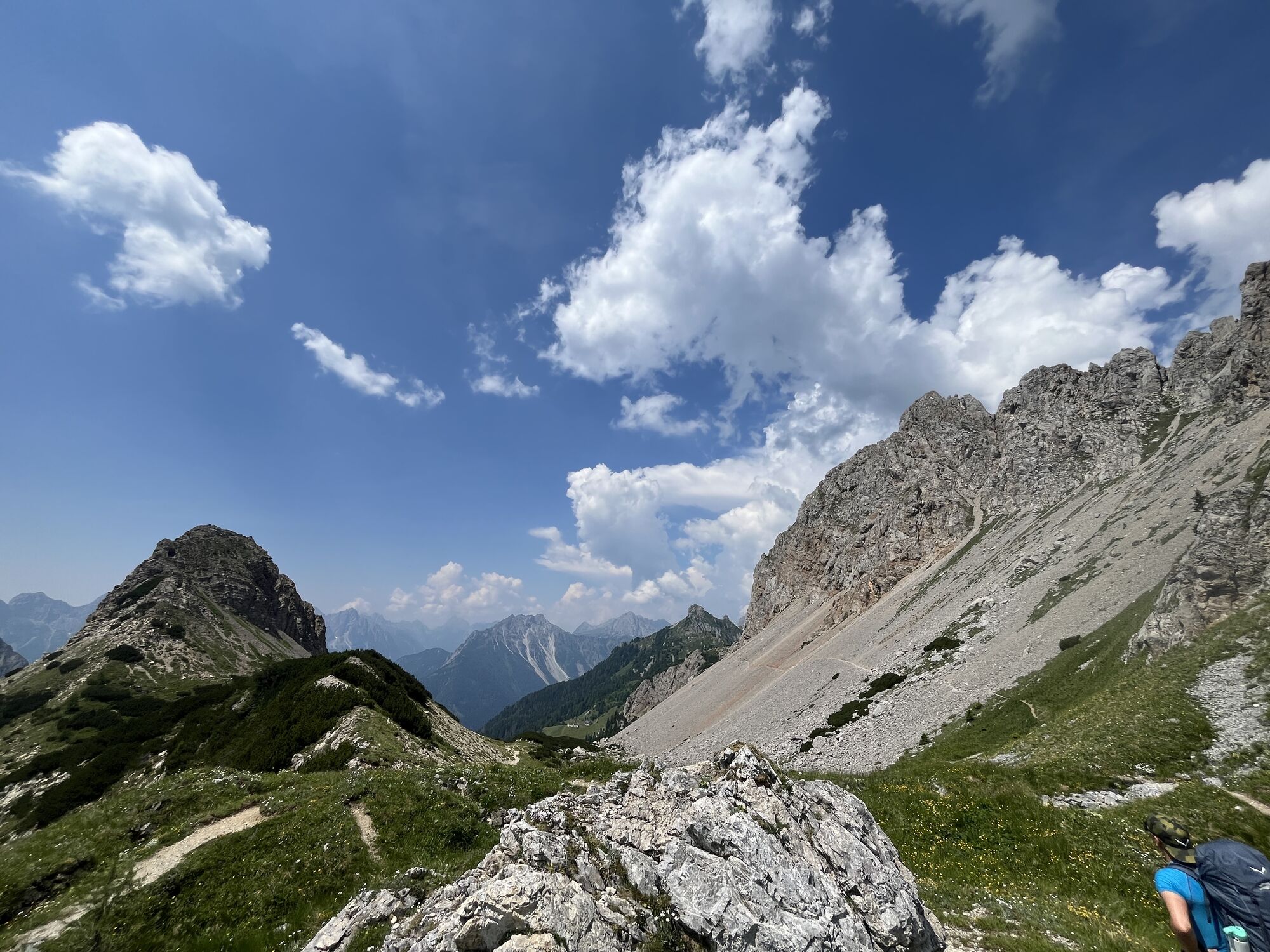
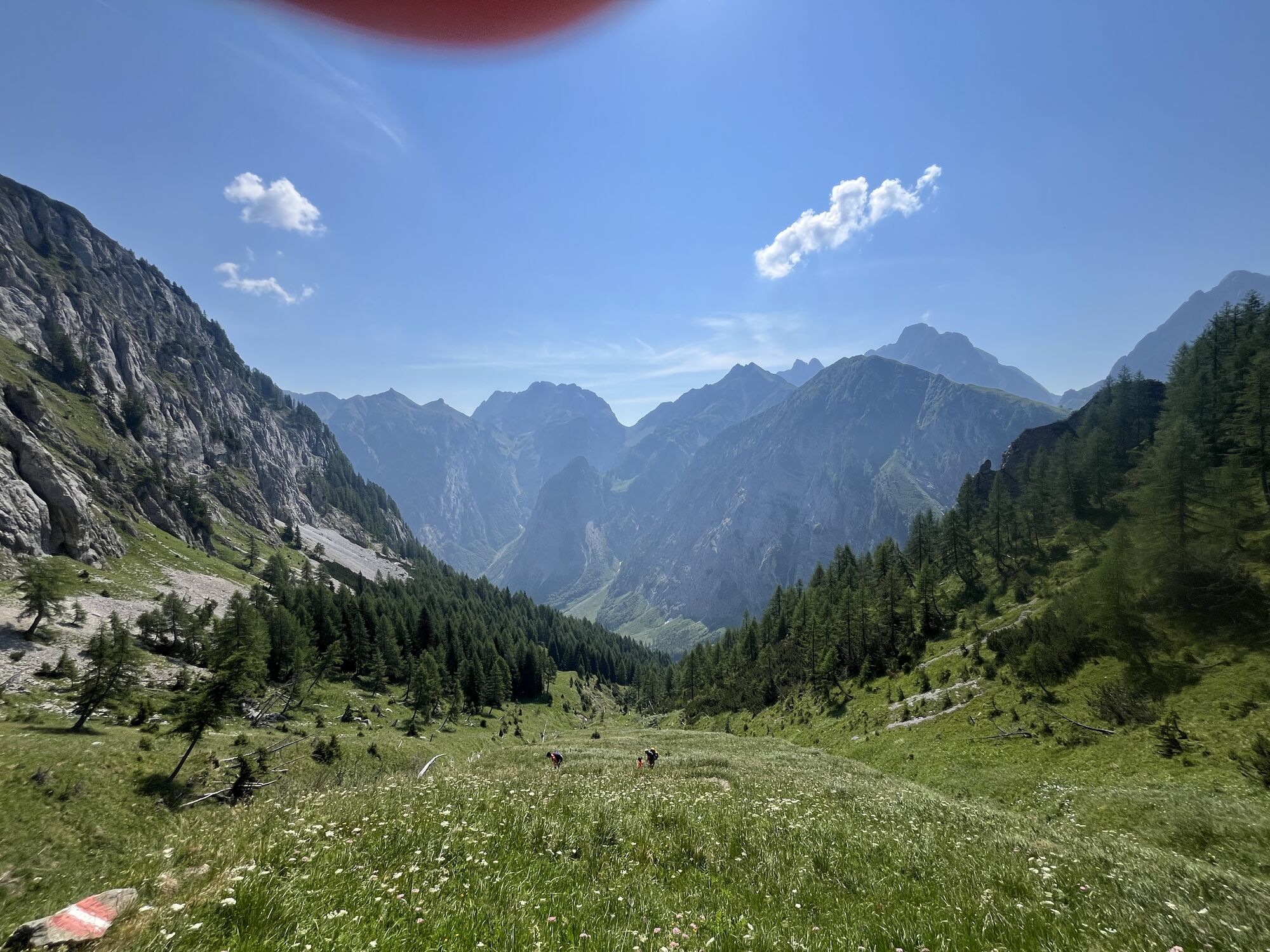
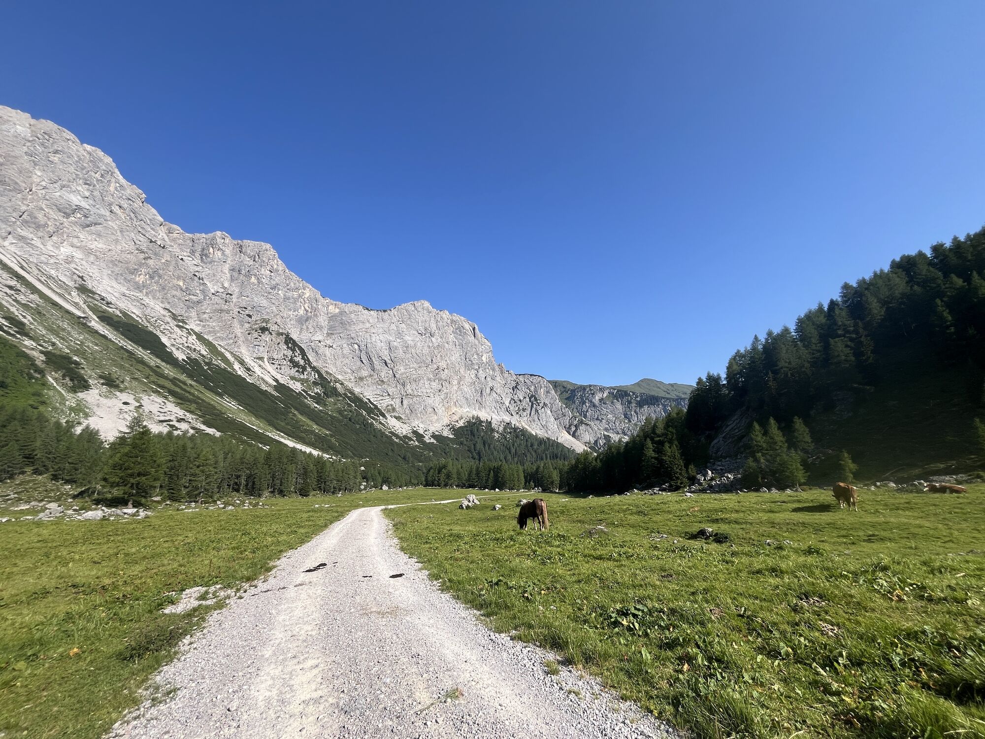
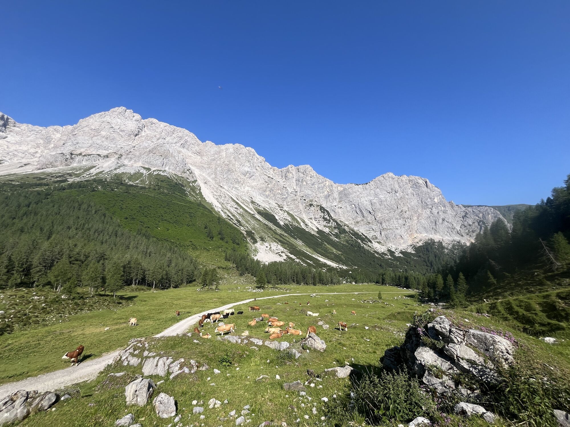
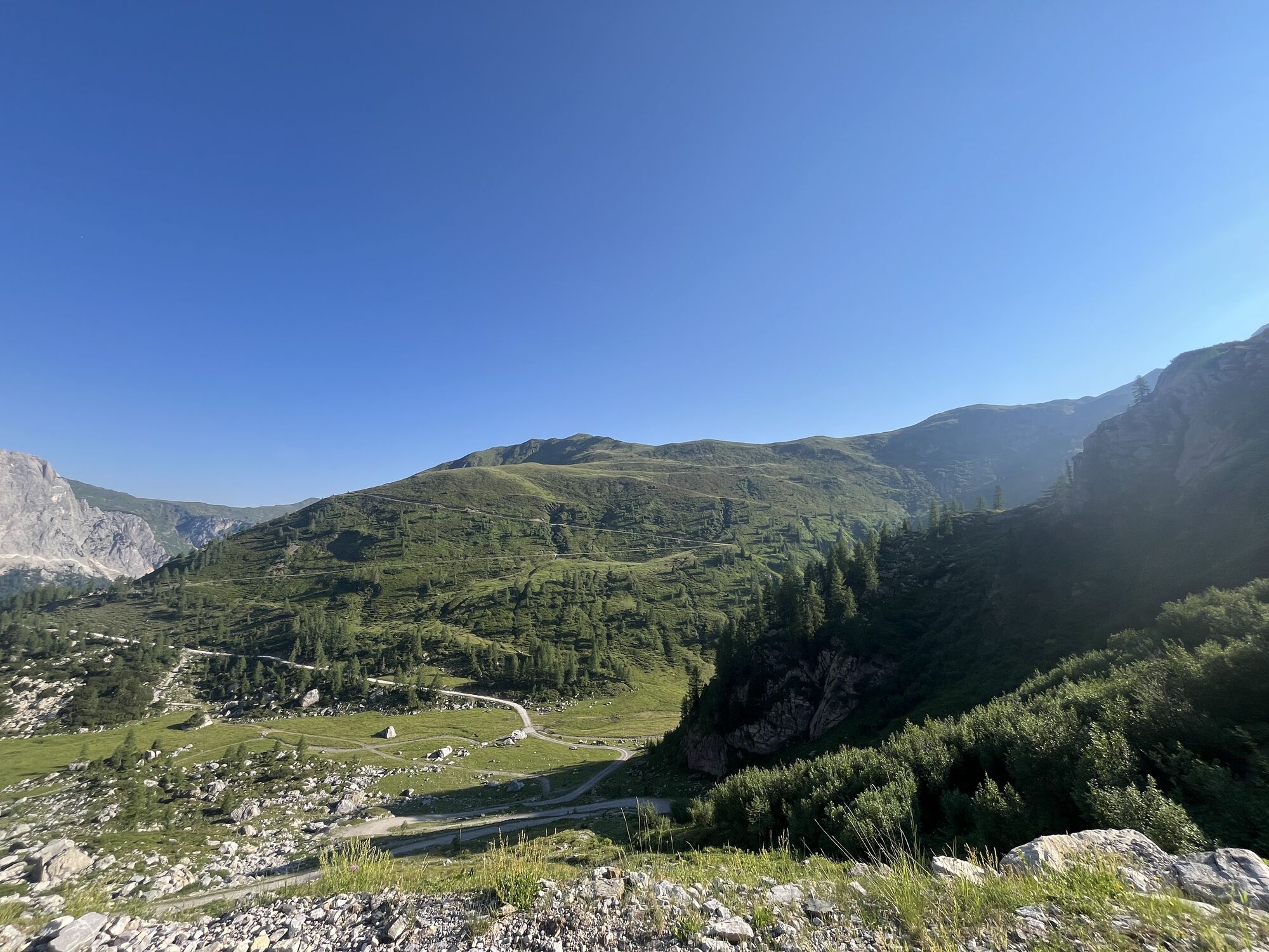
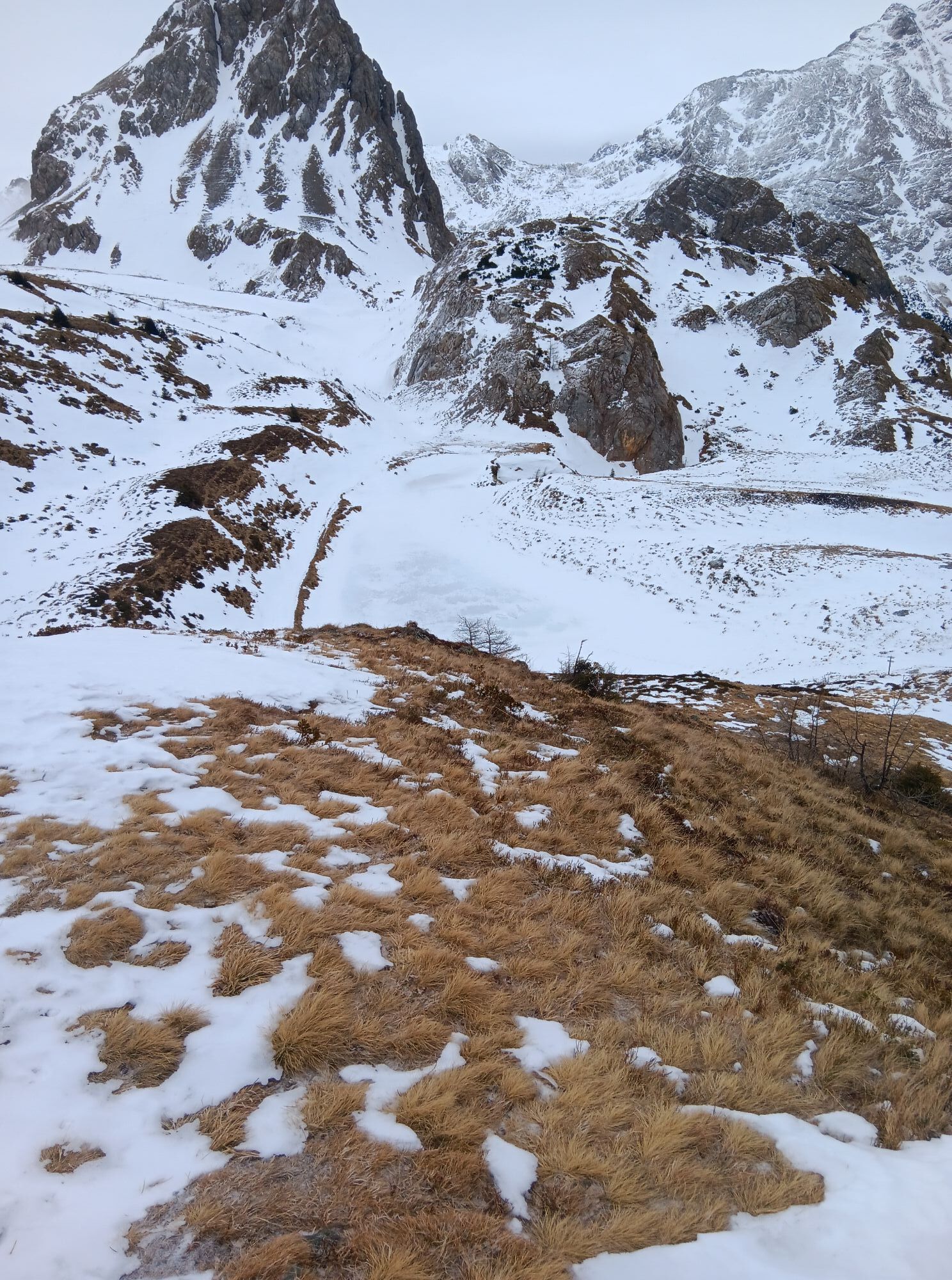
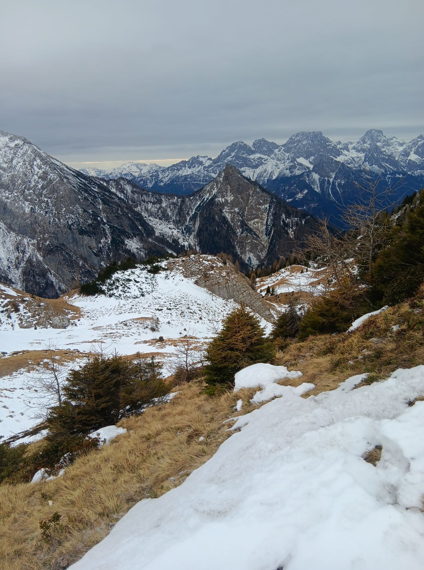
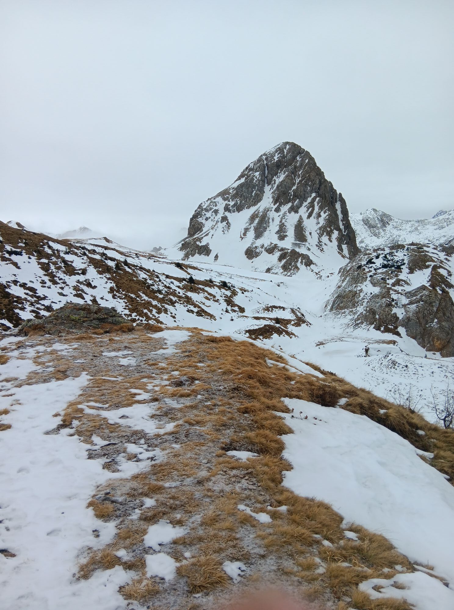
The Karnische Höhenweg is about 150 km long from Sillian to Arnoldstein and can be divided into 8-11 daily stages, a descent into the valley is (almost) possible at any time. Overnight stays in managed...
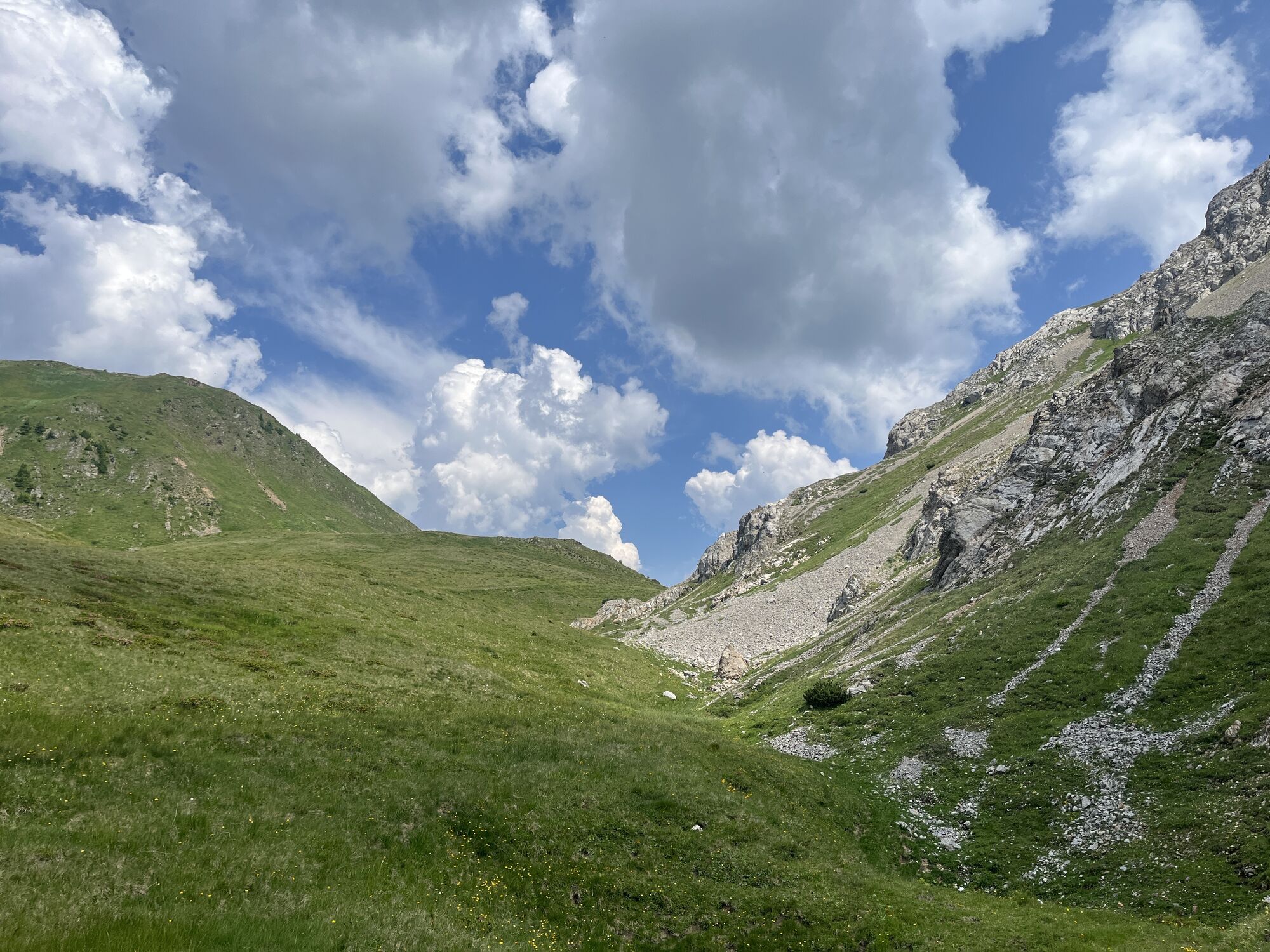
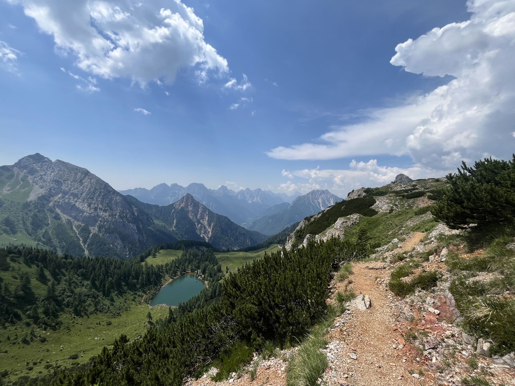
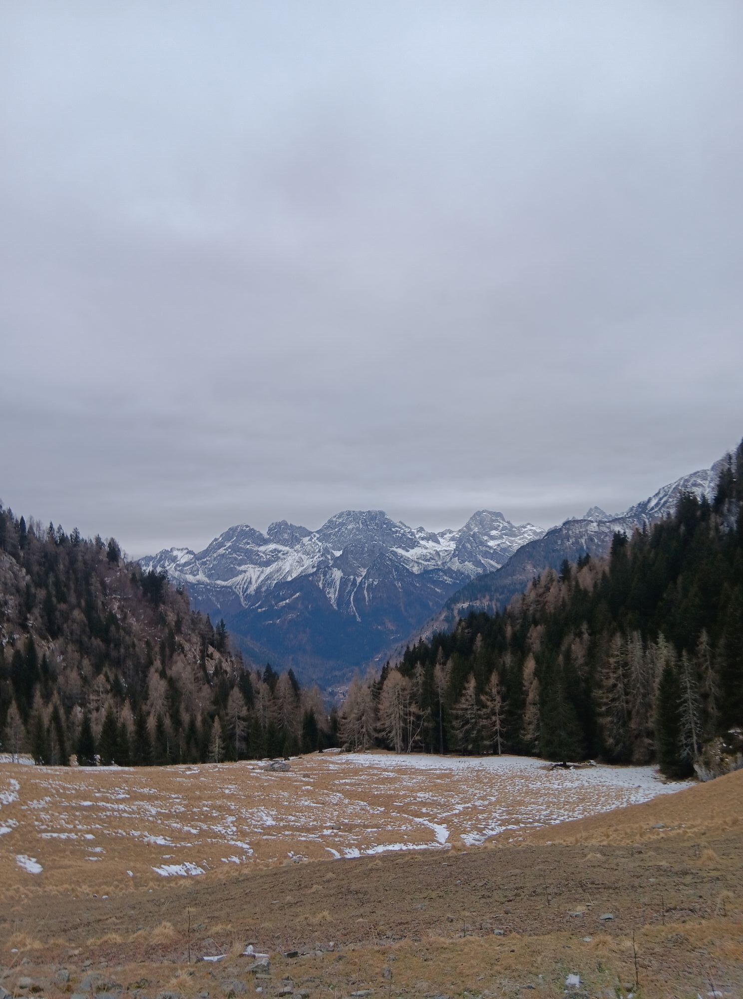
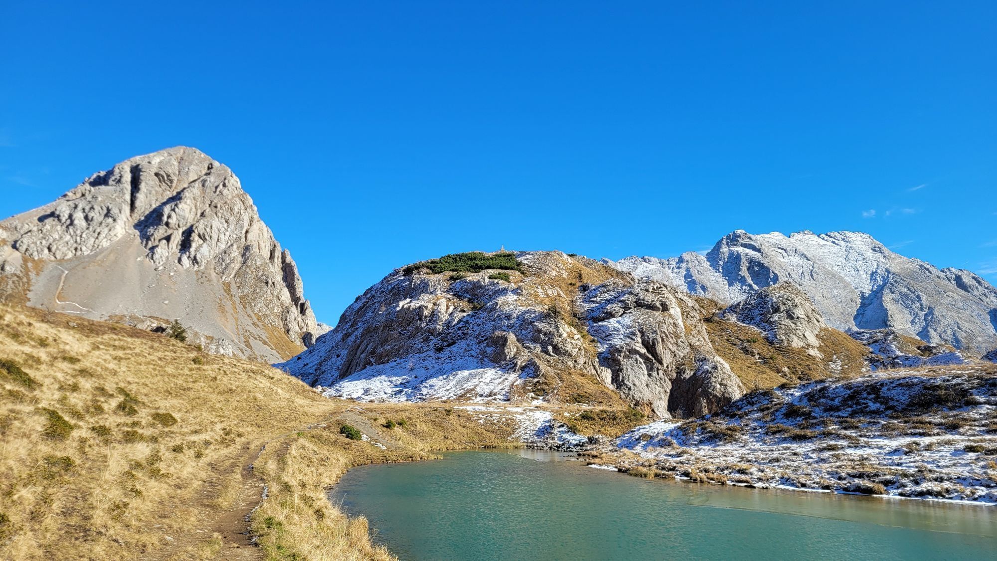
The somewhat longer section east of the Plöckenpass offers a gentle mountain landscape with extensive alpine meadows and easy hiking mountains. West of the Plöckenpass, the more interesting alpine section stretches along the highest peaks of the Carnic Ridge. The alpine long-distance hiking trail leads through a scenically extremely beautiful and varied area.

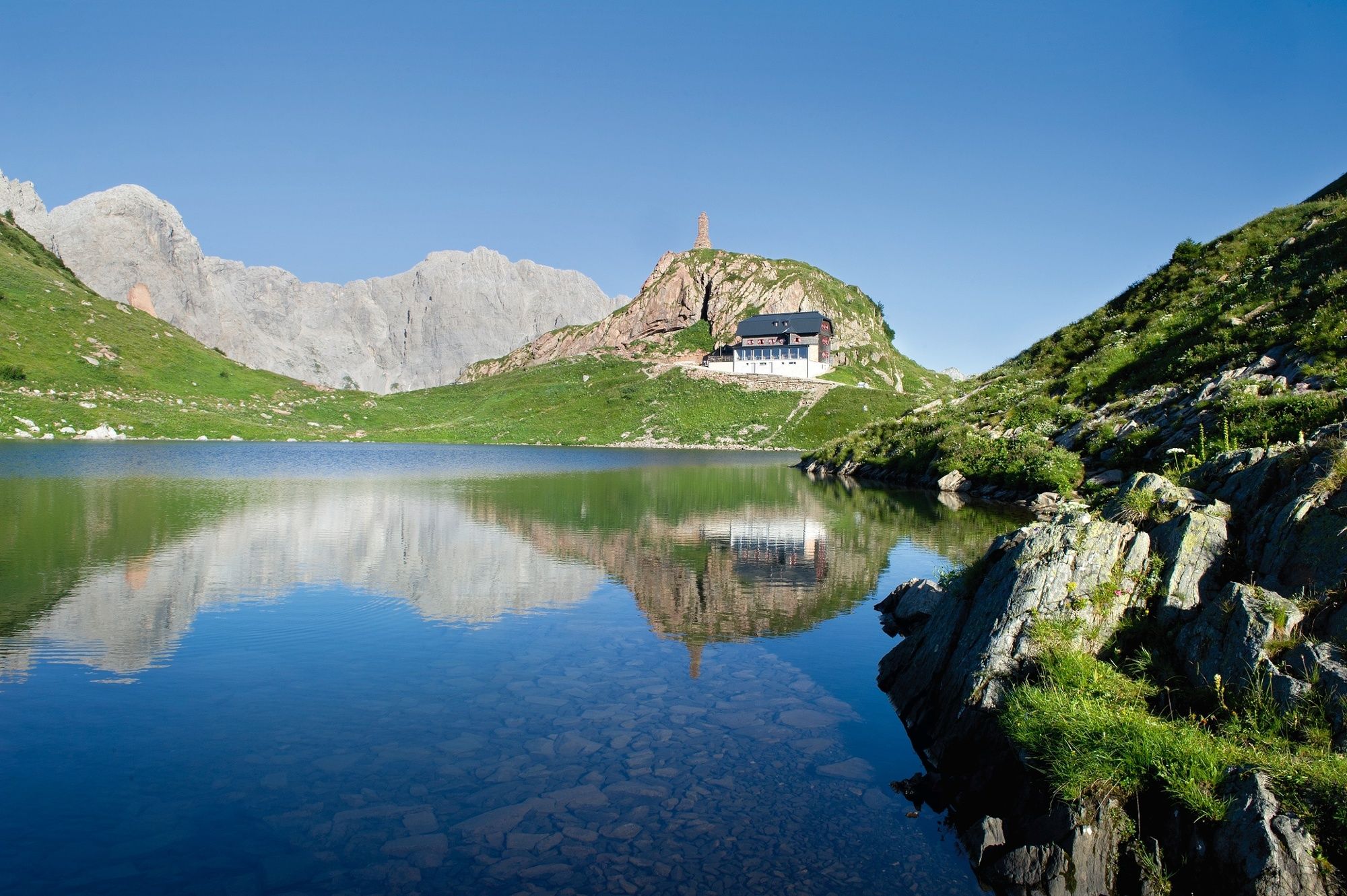
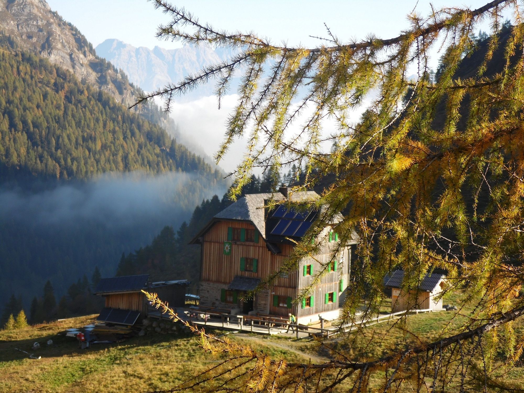
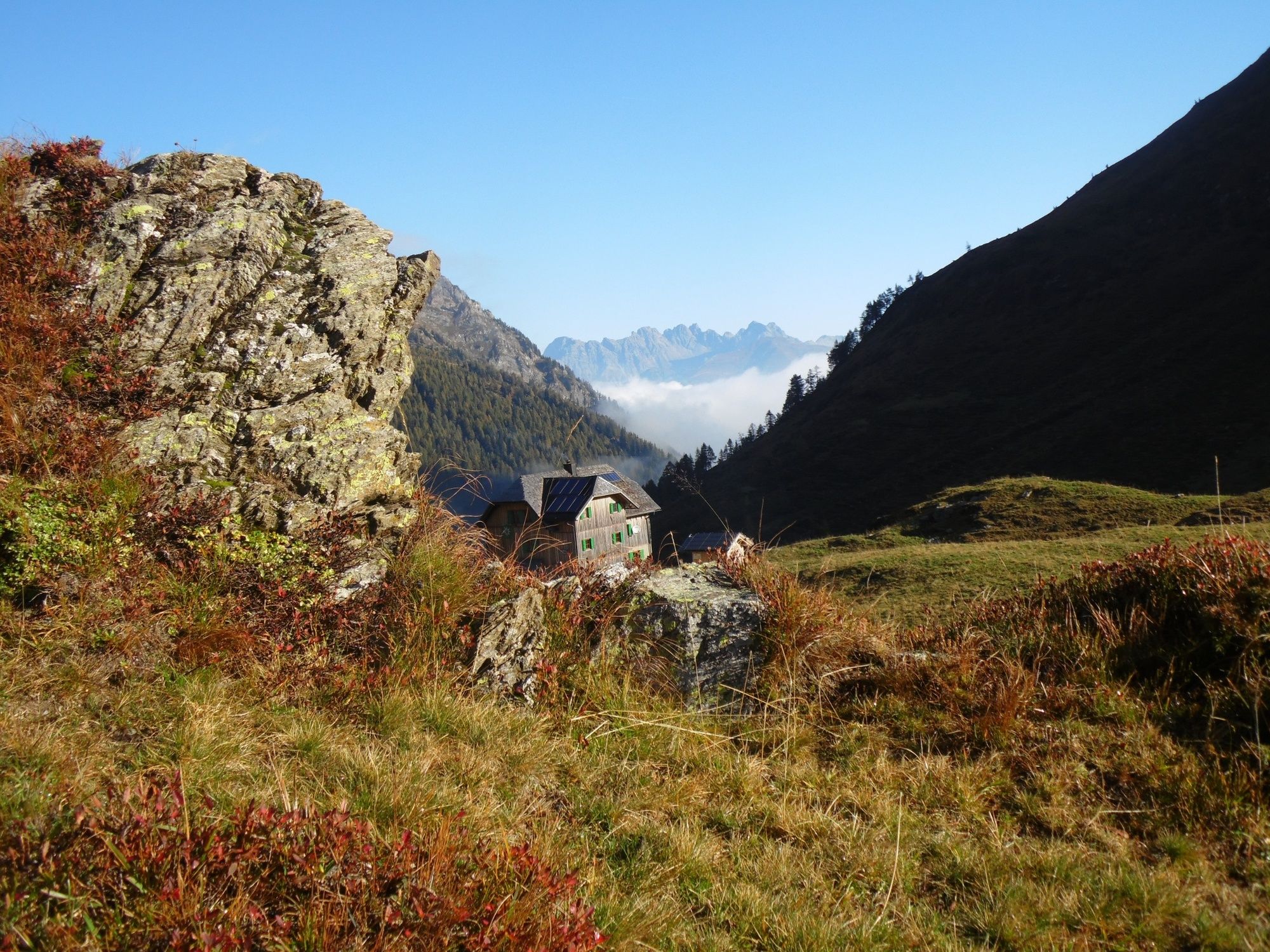
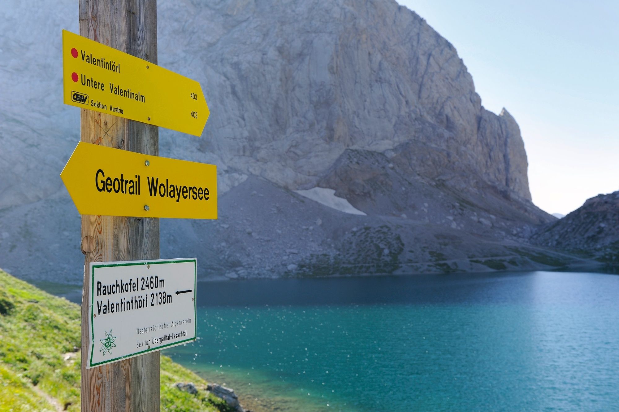

on the Italian side via Öfner Joch, Cra Fleons di Sotto and Giramondo Pass about 6 hours
Áno
Checklist tips:
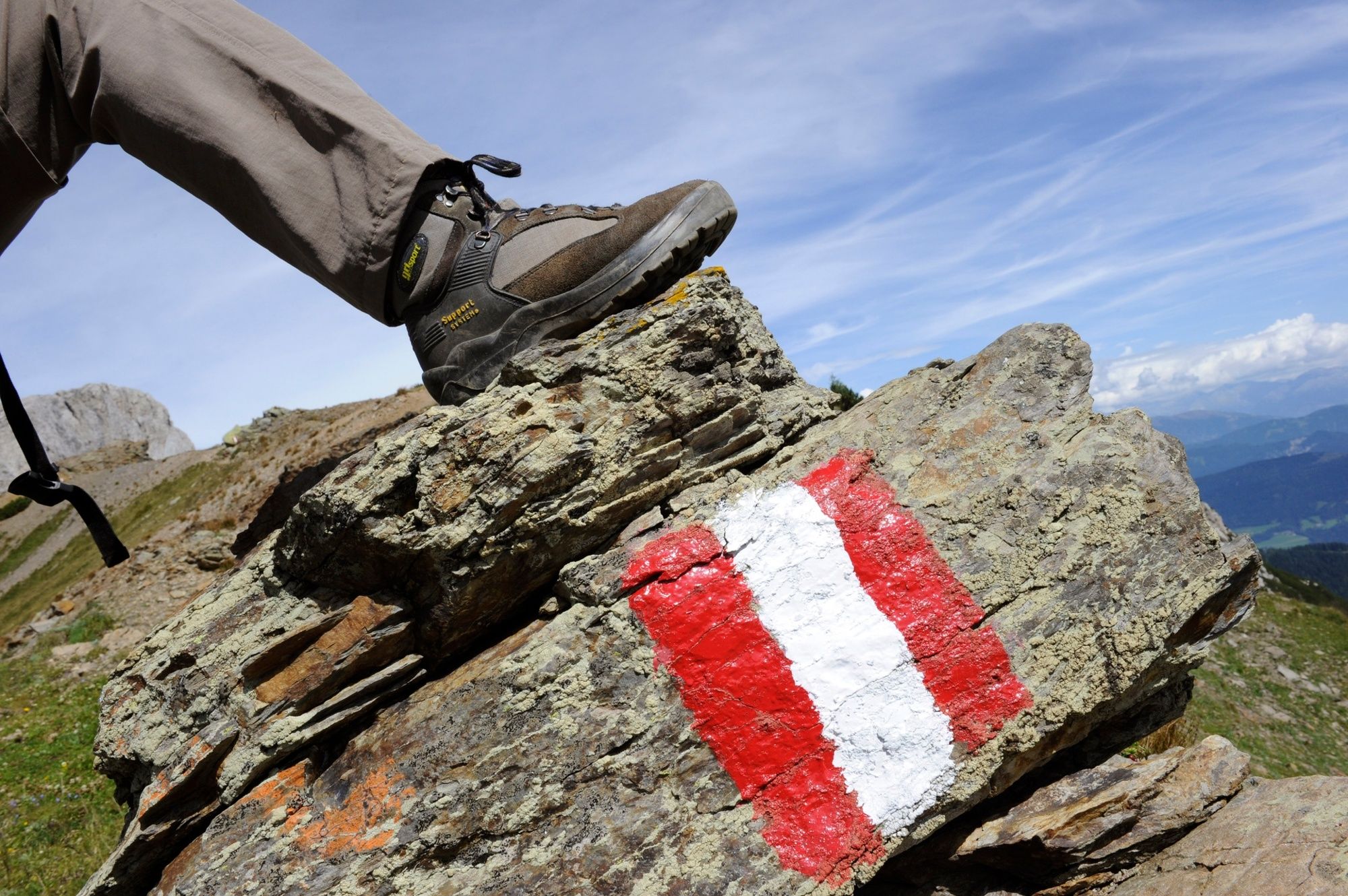
Sturdy shoes (hiking boots or mountain boots)
(Hiking) Clothing for all weather conditions: rain protection, hats, gloves, ... (according to the season)
First aid kit
Money
Cell phone or radio
Hiking maps
Backpack
Sun protection and sunglasses
Flashlight or headlamp
Catering (drinks, water bottles and possibly food)
Toiletries
ev. hiking poles
...
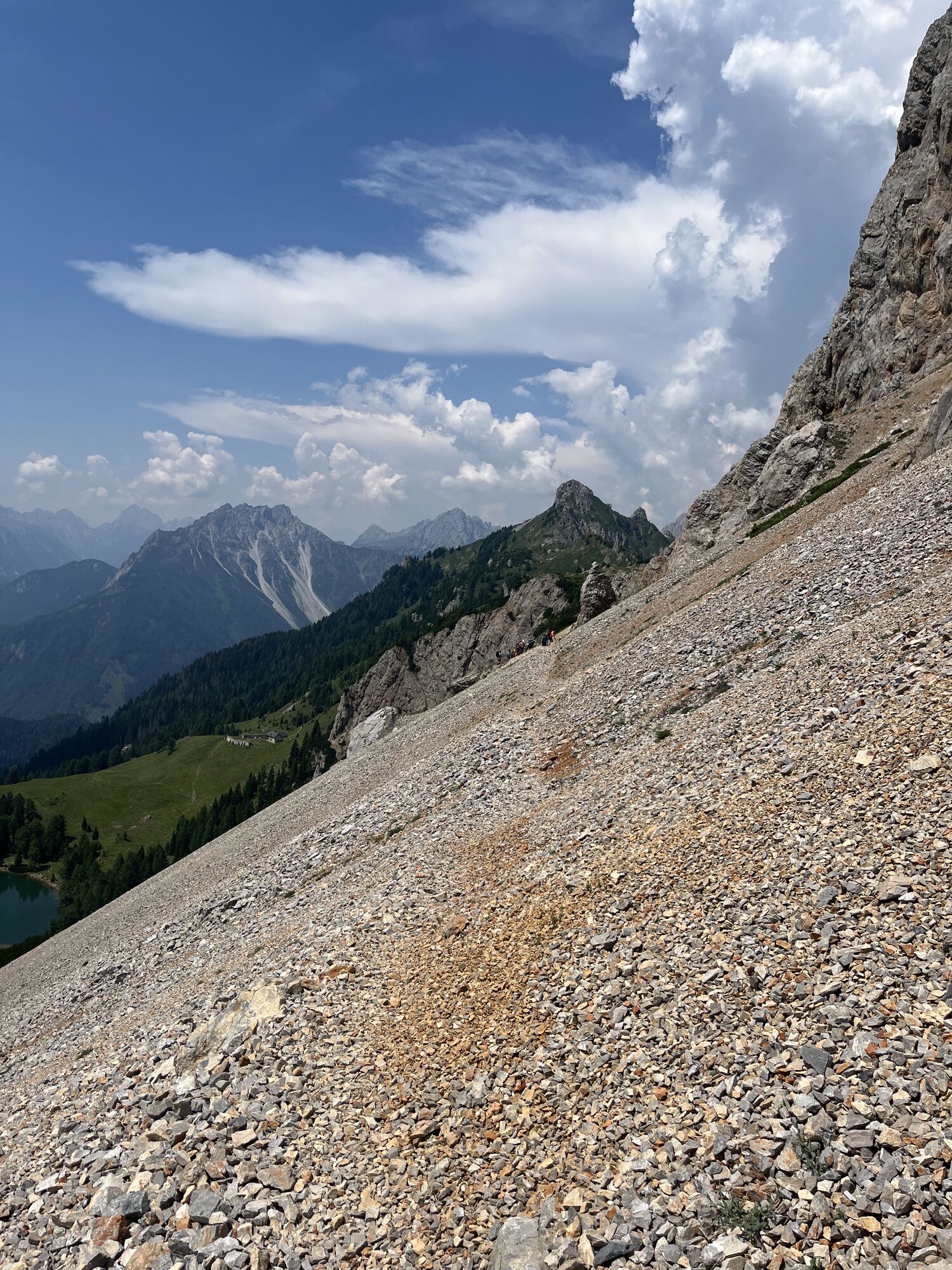
Mostly alpine terrain, especially in the western part of the Karnischen Höhenweg. Sure-footedness, freedom from vertigo and the ability to climb easy climbing sections are required. Conditionally partly very demanding.
from St. Lorenzen by car into the Frohntal to the Ingridalm, 1.651 m (barriers), from there 45 minutes walking time. (200 meters altitude difference)
Timetable under:
Parking is possible at the barrier.
In addition to the conventional route, summit ascents can also be included. Especially recommended: Monte Peralba and Monte Chiadenis.

Aktivity počas prehliadky
-

Lesachtal, Kärnten/Österreich
27.08.2026 – Turistika -

Frauenhügel, Kärnten/Österreich
23.08.2026 – Horská turistika -
Lesachtal, Kärnten/Österreich
16.08.2026 – Turistika -
Lesachtal, Kärnten/Österreich
31.07.2026 – Turistika -
Forni Avoltri / For Davuatri, Friaul-Julisch Venetien/Italien
09.07.2026 – Turistika -
Forni Avoltri, Friuli-Venezia Giulia/Italia
28.06.2026 – Turistika -

Lesachtal, Kärnten/Österreich
25.06.2026 – Turistika -

Wolayerseehütte bis Hochweißsteinhaus mit Johanna
08.09.2025 – Turistika -

Karnischer Höhenweg - Etappe 6
10.08.2025 – Turistika -
Karnischer Höhenweg 5
21.07.2020 – Turistika
Obľúbené výlety v okolí
-
4,8
Lienzer Dolomiten-Lasertörl
strednáTuristika 13,2 km -
4,7
Karlsbader Hütte
strednáMountainbike 13,4 km -
4,5
Obergail - Obergailer Alm - Obergailer Lake - Enderberg hut - Source for Health & Peace - Madonna circular hiking route - Obergail
strednáTuristika 11,4 km -
4,8
Klammbrückl - Kerschbaumeralm - Spitzkofel
ťažkéTuristika 8,71 km -
4,4
Mountain bike route from the Hubertus Chapel to the Wolayersee
ťažkéMountainbike 9,06 km -
4,6
Bread & Morende Trail
strednáTuristika 11,3 km -
4,8
Karnischer Hauptkamm - Hohe Warte 2.780m - Hike and Bike
ťažkéHorská turistika 19,5 km -
5,0
Tuffbad - Guggenberger Sattel - Samalm - Tuffbad
strednáTuristika 12,2 km -
3,9
Summit hike to the Hochstadel
strednáTuristika 7,83 km -
5,0
Carnic altitude trail. Stage 4: Porzehütte – Hochweißsteinhaus
ťažkéTuristika 17,5 km
Turistika a stopovanie


Nenechajte si ujsť ponuky a inšpiráciu na ďalšiu dovolenku
Vaša e-mailová adresa bol pridaný do poštového zoznamu.





