


KM5 Zollnersee Hut - Bischofalms

From the TVB in Kötschach Mauthen, follow the B110 for about 1 kilometre in the direction of Plöckenpass and then, at a 90 degree right-hand bend, go straight on into the Würmlacher Landesstraße L21. Follow...
Variant: Downhill on the same route

Ascent:
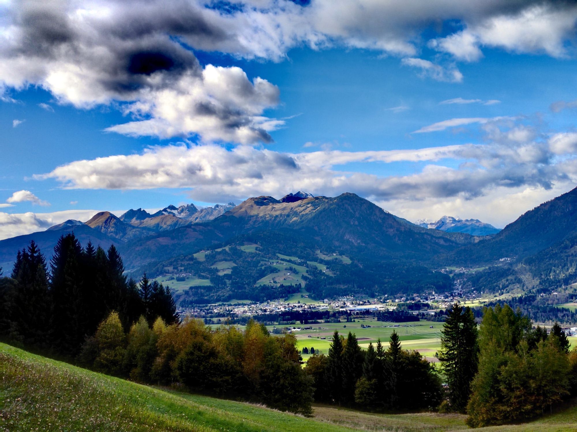
The route starts at the Town Hall Kötschach-Mauthen - from here you follow the federal road B110 towards Plöckenpass for about 1 km. In the center of Mauthen, turn left onto the Würmlacher State Road (L21).
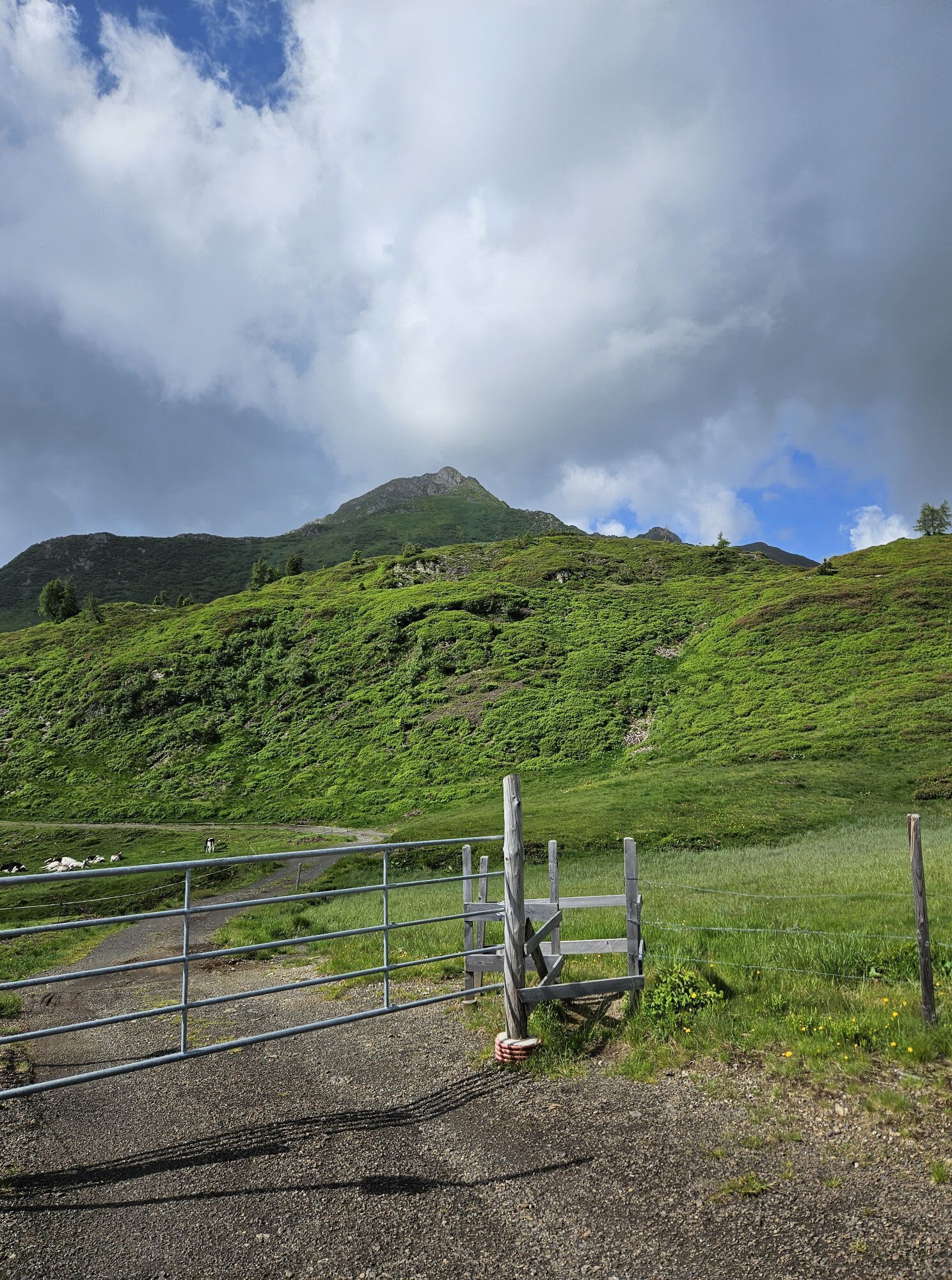
Follow this for about 5 km to Weidenburg, where you then turn right towards the Zollnersee Hut onto the alpine road open to cars.
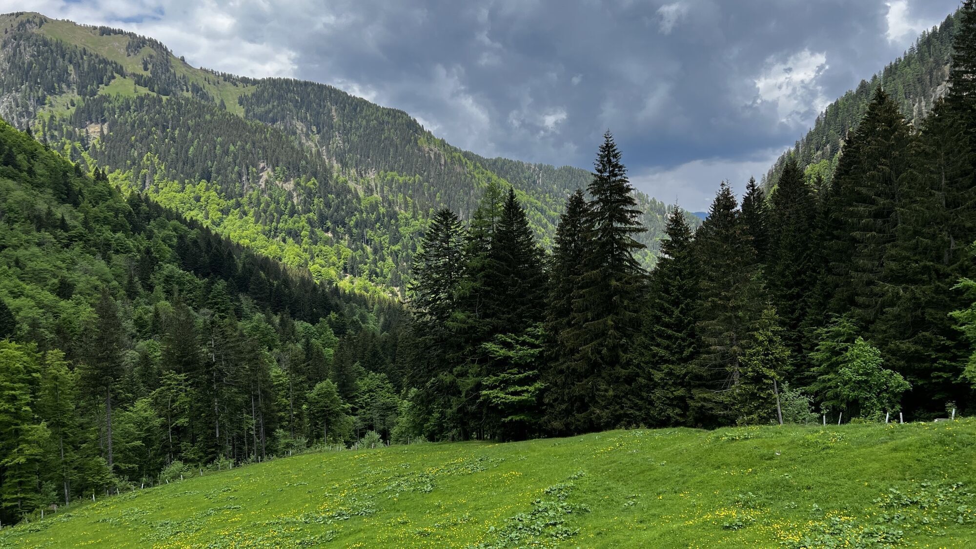
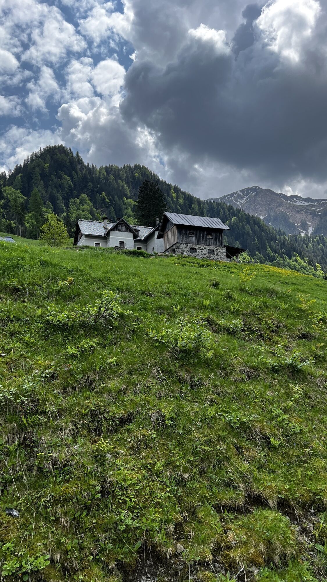
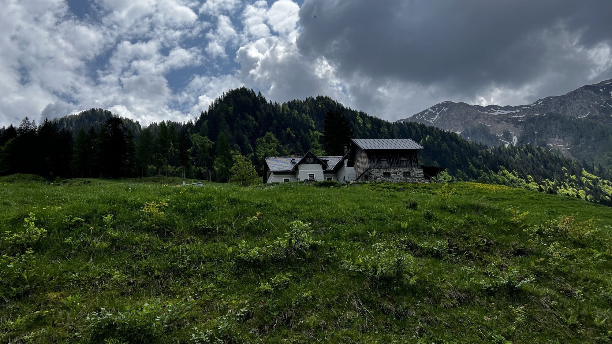
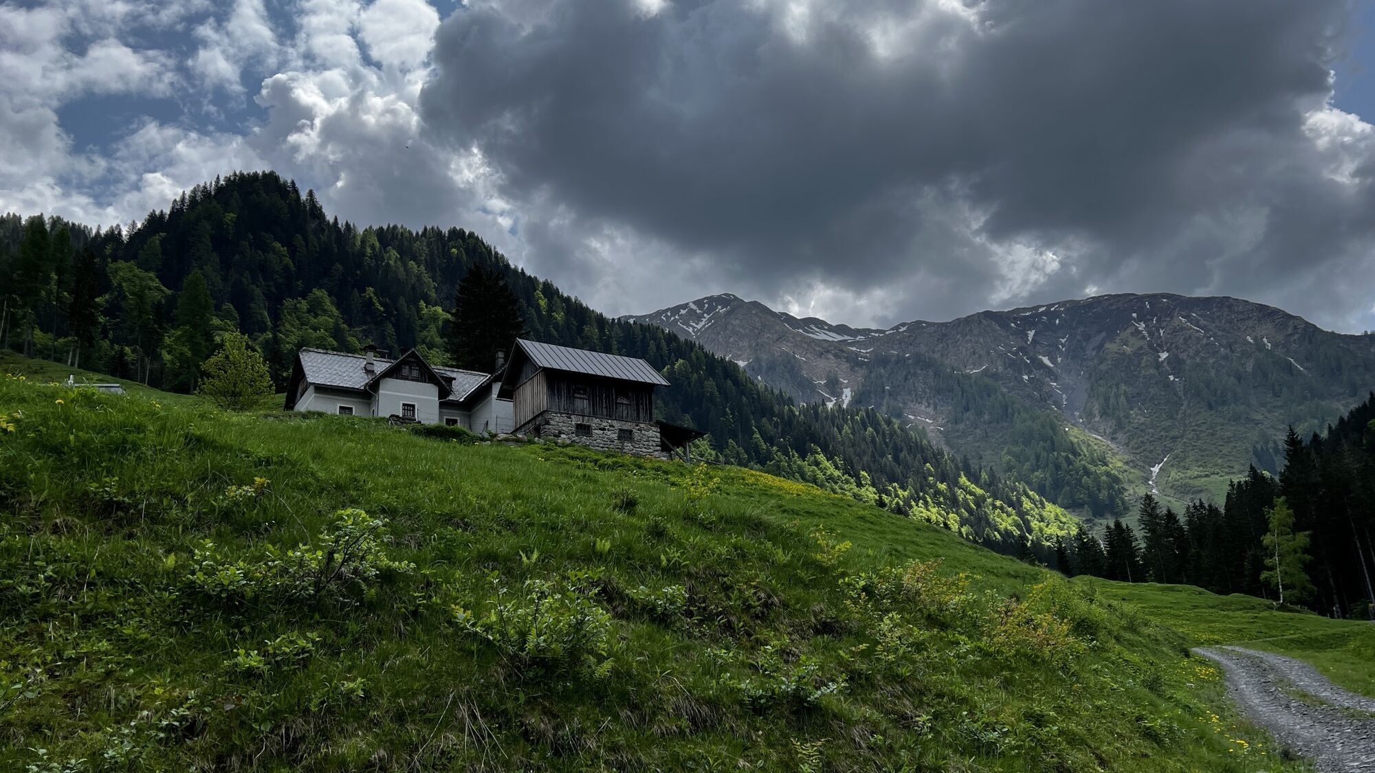
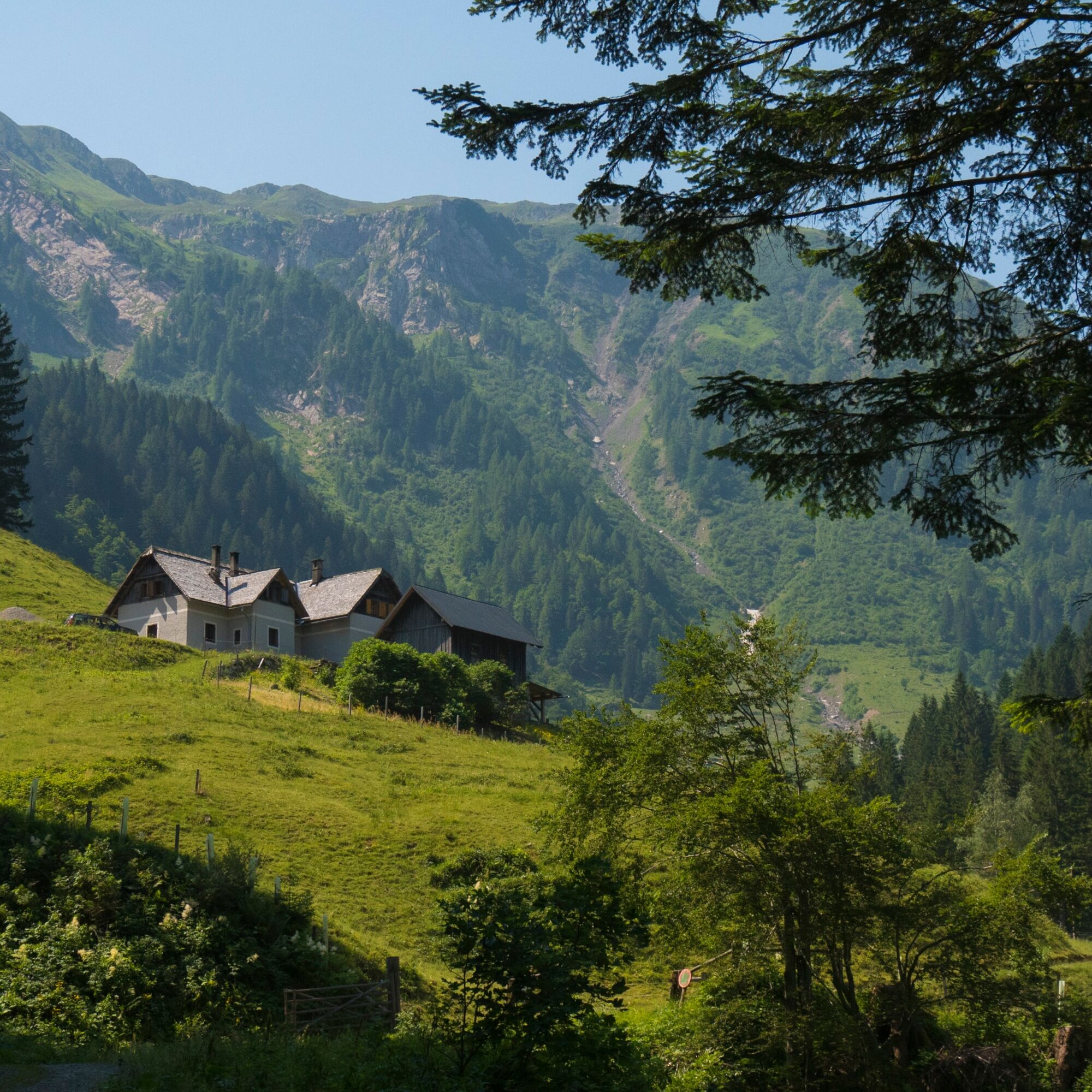
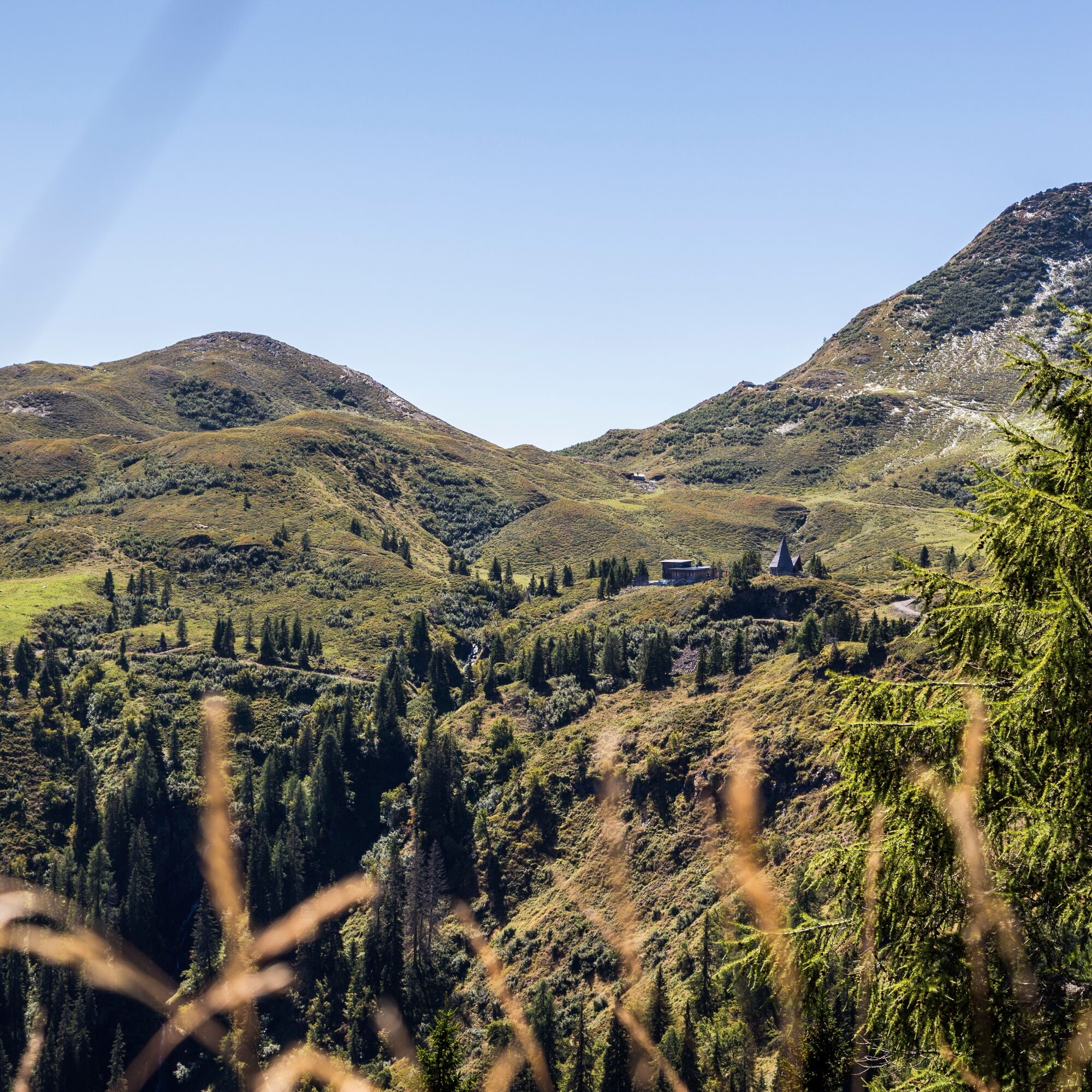
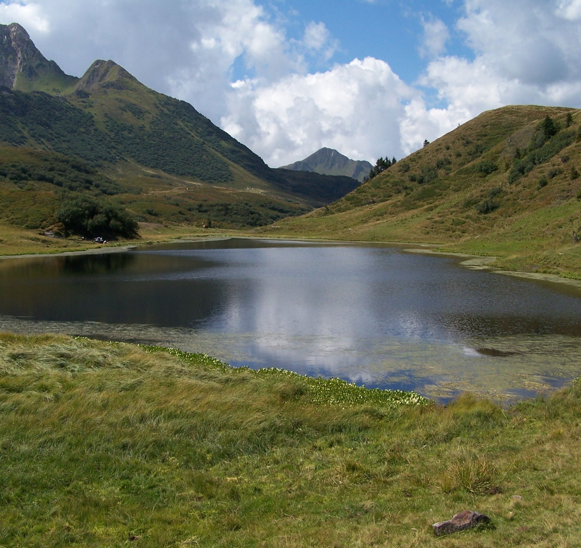
The route passes the Rosser Hut about 1 km before the stage goal, before you reach the Zollnersee Hut after a total of 14 km and 1,100 m of ascent.
Return/Descent:
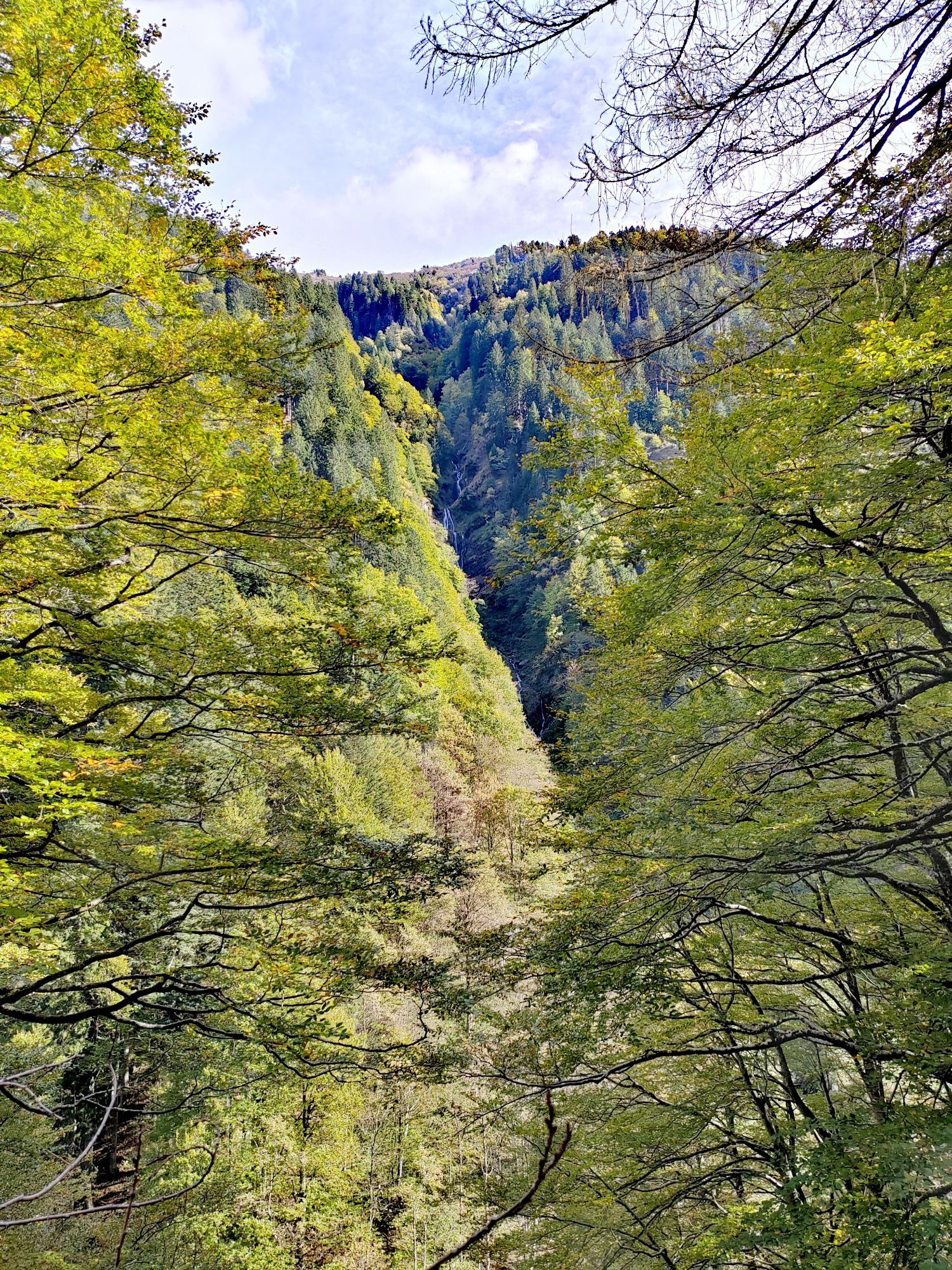
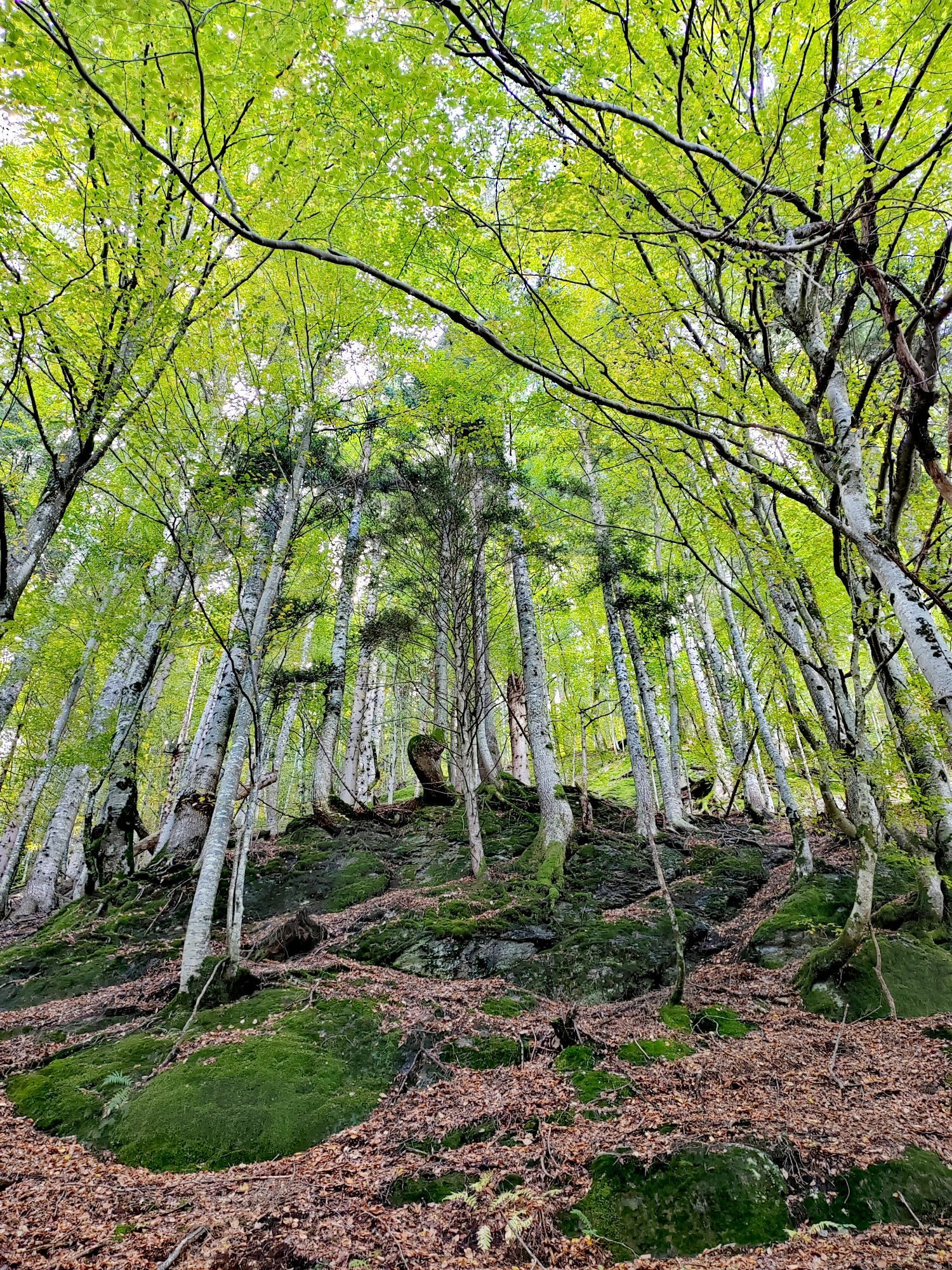
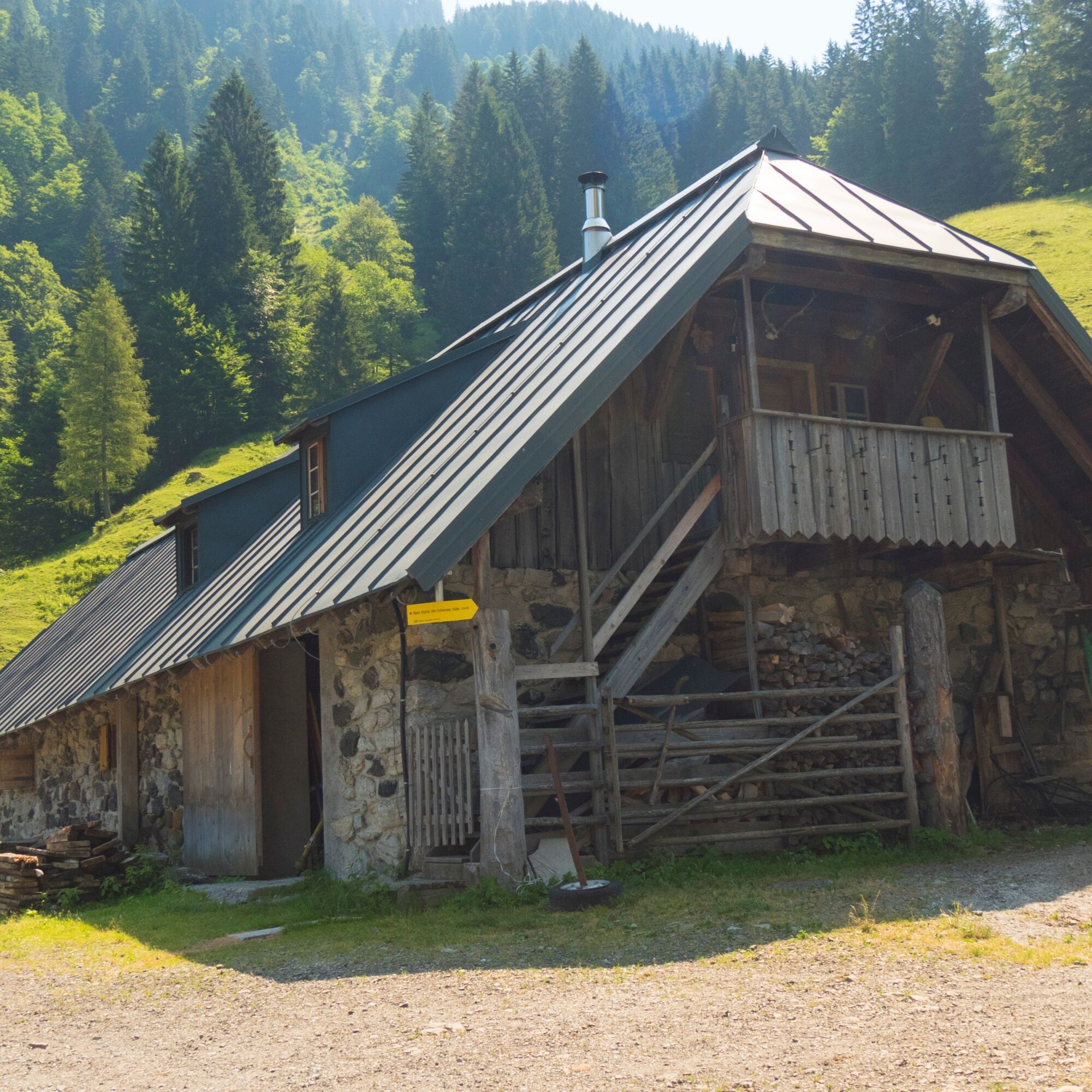
The descent follows the same route as the ascent for 1 km, before you branch left towards the Bischofalms just before the Rosser Hut. The gravel road turns into a cart track on a hill and first leads to the Upper Bischofalm.
Immediately afterward, there is another climb of about 50 m before it goes steeply down the north slope in tight switchbacks.
In the area of the Lower Bischofalm, you switch back to a forest road. Passing the Kronhof, it goes back down to the valley and finally to the starting point.
Ascent variant - The tour can also be ridden in the opposite direction with an e-bike. However, the steep climb over the Bischofalms on rough terrain challenges even riders with motor assistance.
Descent variant - Descent on the same route as the ascent
Áno
Right clothing: Do not only adapt your clothing to the current weather conditions. Also pack warm clothing, a spare jersey and rain protection in summer, especially in the early and late seasons.
Emergency equipment: bandages, repair kit (spare hose, pump, tools), map, mobile phone and possibly GPS
ATTENTION: In the mountains reception is not guaranteed everywhere!
Take enough to drink with you and plan a stopover in good time
FAIR PLAY & RESPECT:
Care for nature – landowners – your health.... and safety on the mountain are top priorities for your tour and the related tour planning!
Therefore, always check the rules of conduct before any hike - Safety on the mountain - as well as the current weather situation.
Waste disposal:
Waste cannot always be avoided - but it has no place in nature and must be disposed of properly (preferably in the valley or at home).
Emergency numbers:
Euro emergency call: 112 (access to any available network)
Austrian alpine emergency call: 140
Travel by car:
From Hermagor via the B111 (Gailtal Road) or from Oberdrauburg via the B110 (Plöckenpass Road) to Kötschach-Mauthen.
The most sustainable travel option is by train to Oberdrauburg (coming from Lienz or Villach) or to Hermagor (coming from Villach).
From Oberdrauburg or Hermagor, you can then take a bus to the town of Kötschach-Mauthen.
Details at - Nassfeld mobility information and Kärntner Linien route planner
Public parking spaces are available directly at the starting point.
Are you looking for bike tips in the region or a certified guide for a guided bike tour?
You can find this and many other details at - Tour tips and provider information
Refreshment options:
- Zollnersee Hut (observe seasonal opening hours)
- In Kötschach-Mauthen and the surrounding villages, there are numerous year-round open refreshment options - details at Service A-Z.
Open for MTB riders unless otherwise specified during the following periods:
May 1 - August 31, from 9 am to 7 pm and September 1 - October 31, from 9 am to 5 pm
The tour can also be ridden in the opposite direction with an e-bike. However, the steep climb over the Bischofalms on rough terrain challenges even riders with motor assistance.
Obľúbené výlety v okolí
-
4,9
Karnischer Hauptkamm - Hohe Warte 2.780m - Hike and Bike
ťažkéHorská turistika 19,5 km -
4,3
Mountainbiketour von der Hubertuskapelle zum Wolayersee
ťažkéMountainbike 9,06 km -
3,7
Cellon-Stollen und Senza Confini auf den Cellon und Steinberger Weg zum Abstieg
strednáVia ferrata 7,09 km -
3,6
RW_N61 Kleiner Pal (1,867 m)
ťažkéTuristika 6,52 km -
4,3
WW_N18 flower paradise Mussen
strednáTuristika 6,52 km -
5,0
Valentin-Wolayersee-Runde
strednáTuristika 12,4 km -
4,5
03 Südalpenweg, 24. Etappe: Valentinalm - Wolayerseehütte
strednádiaľková pešia trasa 9,63 km -
5,0
Möselalm - Weißbriach/Gitschtal
svetloTuristika 5,12 km -
5,0
Frischenkofel
strednáTuristika 5,25 km -
2,9
Wolayersee
ťažkéTuristika 7,90 km

Turistika a stopovanie


Nenechajte si ujsť ponuky a inšpiráciu na ďalšiu dovolenku
Vaša e-mailová adresa bol pridaný do poštového zoznamu.