


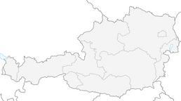


I1 - Dolinza Alm – Malga Priu Loop
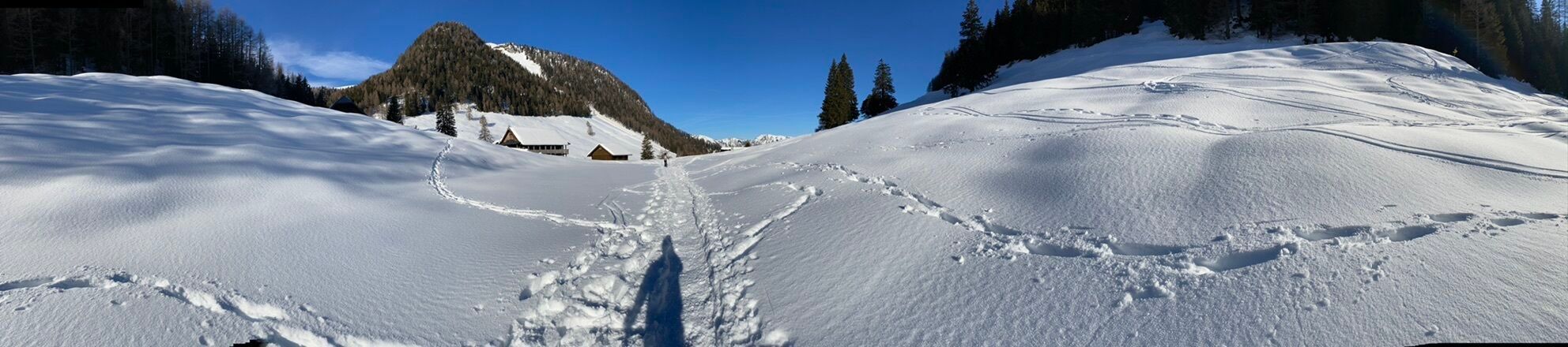
From the Erlebnis-Naturbad Vorderberg, go steadily uphill past the Koutschitzalm to the Dolinzaalm. Immediately after the Dolinzaalm, cross the border into Italy and descend towards Ugovizza. At an altitude...
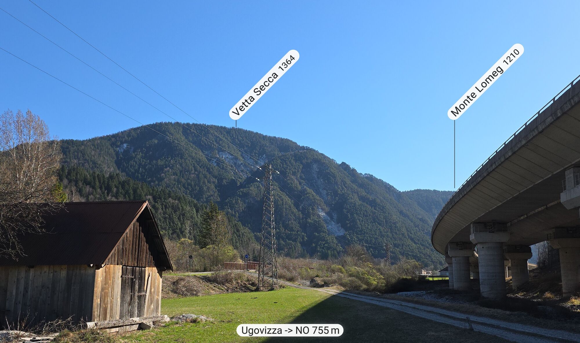
From the Erlebnis-Naturbad Vorderberg, go steadily uphill past the Koutschitzalm to the Dolinzaalm. Immediately after the Dolinzaalm, cross the border into Italy and descend towards Ugovizza. At an altitude of about 1,100 meters, turn right towards Rifugio Gortani, then ascend to Malga Priu. The beautifully situated rustic alpine hut is ideal for a stop. From here, ride a short distance back, then climb about 230 meters elevation to the highest point of the day. Next follows the long descent to Malborghetto. On the Ciclovia cycle path, continue east towards Ugovizza, where the ascent back to Dolinzaalm begins. From the Dolinzaalm, take the well-known path back to the starting point. Especially the steep ascent to Dolinzaalm becomes pure pleasure with the e-MTB.
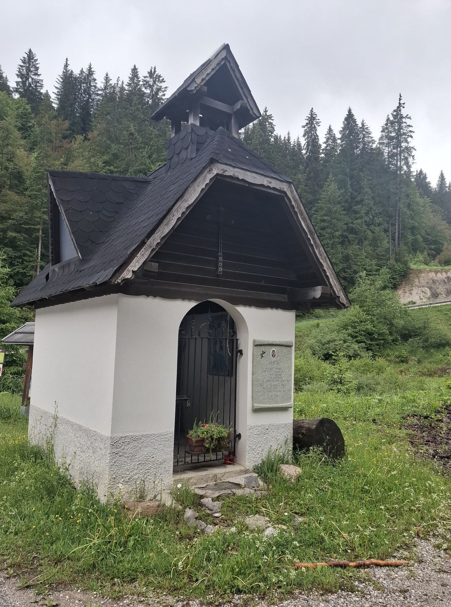
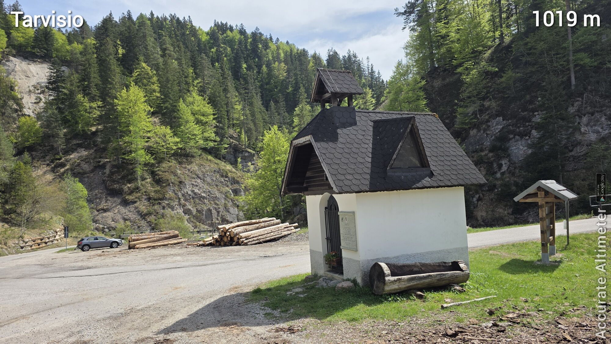
HIGHLIGHT: just above Malborghetto at KM 28, you will find a small park inviting you to a long rest.

KM 0.5 turn right over the bridge
KM 0.6 after the bridge turn left
KM 1.4 turn right towards Koutschitzalm and follow the road uphill
KM 5.7 Koutschitzalm – continue straight ahead
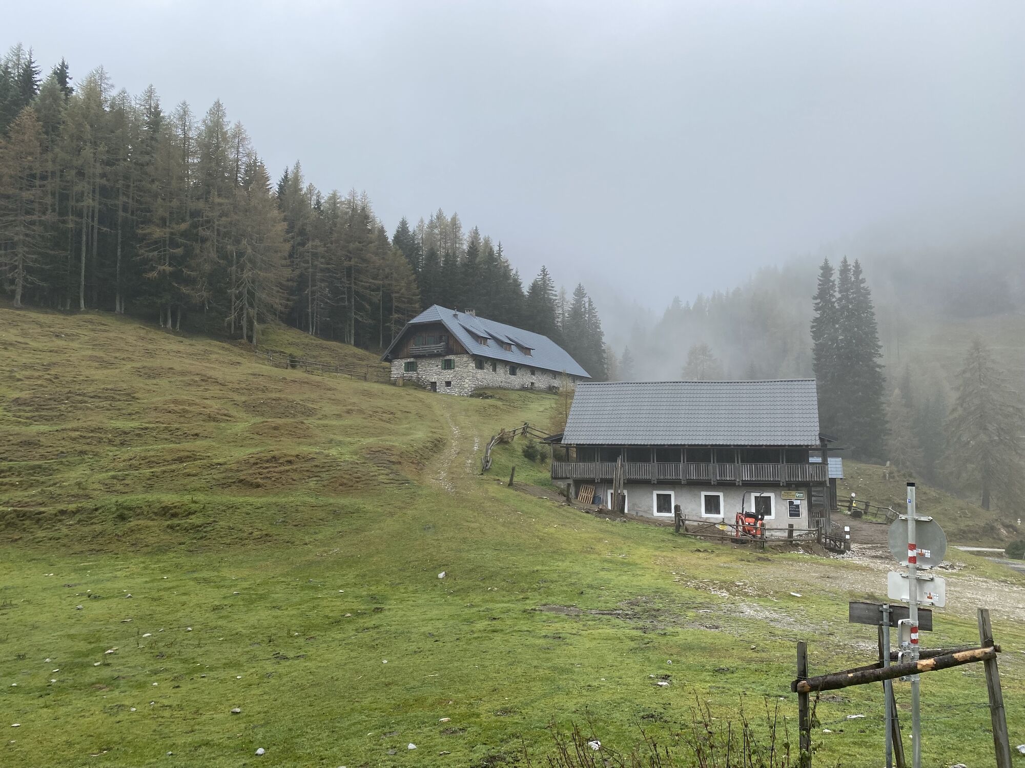
KM 6.1 turn left towards Dolinzaalm – short gravel section, then a very steep asphalt road uphill to the alm.
KM 9.8 immediately after the Alpengasthof Starhand, turn right over the meadow to the state border
KM 10.0 after the border keep right (downhill)
KM 10.4 Rifugio Nordio – continue straight ahead
KM 12.2 parking lot – continue straight downhill
KM 13.6 turn right over the stream and ride a short steep section uphill on a cart track, first straight ahead to another stream crossing – then turn left – it flattens again
KM 14.9 Rifugio Gortani – continue straight ahead
KM 15.0 keep left KM 15.2 turn right – slight uphill on asphalt road
KM 15.5 turn left onto gravel path and follow it uphill to Malga Priu
KM 17.0 at the right bend at about 1,230 m altitude, go straight to Malga Priu
KM 17.5 Malga Priu – then back to the bend at 1,230 m
KM 18.0 bend at 1,230 m – turn left and continue uphill to an altitude of 1,500 m – stay on the main path
KM 21.1 here begins the descent to Malborghetto – always stay on the main path
KM 28.8 Malborghetto – at the second possibility turn right
KM 29.2 turn left and shortly after cross the main road KM 29.4 turn left and follow the narrow road to the cycle path KM 30.1 360-degree loop up to the Ciclovia cycle path – follow this to Camporosso
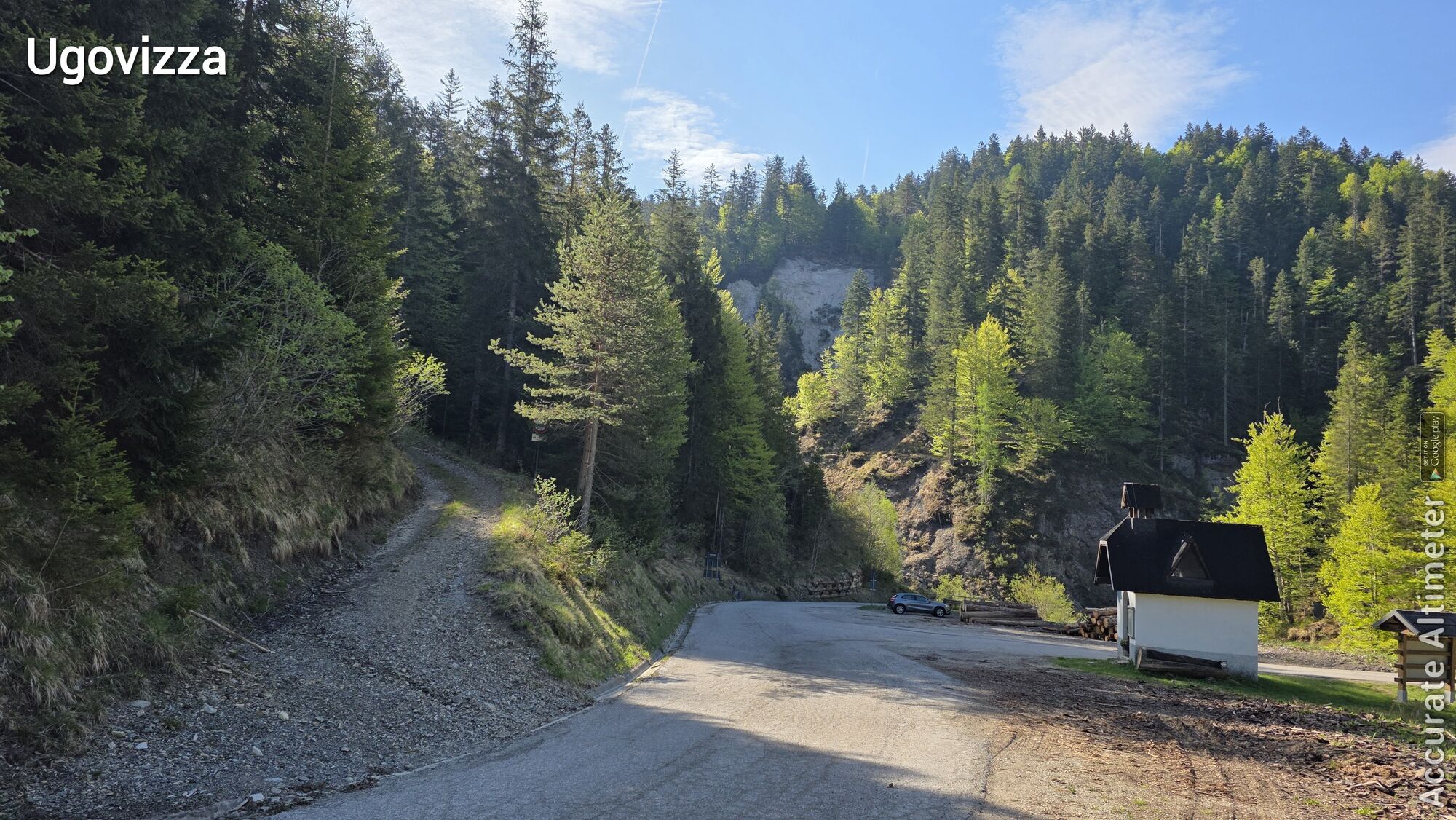
KM 31.9 junction from the cycle path into the village Ugovizza (left)
KM 32.1 cross the main road
KM 32.2 go straight ahead and follow the asphalt road into Val di Ugovizza
KM 39 at the parking lot keep left – change to gravel road
KM 40.8 Rifugio Nordio – continue uphill
KM 41.2 border to Austria – continue to Dolinzaalm and back to the starting point via the well-known path
Áno
Helmet mandatory!!!!!!!
Proper clothing: Adjust your clothing not only to the current weather conditions. Also pack warm clothing, a spare jersey, and rain protection, especially in summer but even more so in pre- and post-season.
Emergency equipment: first aid kit, repair kit (spare tube, pump, tools), map, mobile phone, and possibly GPS
WARNING: Reception is not guaranteed everywhere in the mountains!
Take enough to drink with you and plan a timely stop for refreshment
No riding on closed lines - absolute driving ban!
Always ride with half visibility.
Always adjust your speed so that you can stop in time before obstacles or avoid oncoming traffic.
Watch out for pedestrians and hikers and pass by slowly.
Riding the route with motorcycles will be reported without exception.
Using the bike routes is at your own risk.
In the forest, camping, staying overnight in the dark, making fires, disturbing wildlife, or entering forestry areas with trees under 3 meters in height is legally prohibited.
Continuously check your sports equipment and wear a helmet.
Only the use of released, marked trails is allowed.
Do not leave the marked path under any circumstances.
Please be considerate of the environment. Avoid noise and pollution. Restrict driving activity at dusk to protect wildlife.
Observe traffic regulations and provide first aid if necessary.
Always close pasture gates and doors. Beware of forestry work!
Accurate self-assessment
Start early and plan reserves.
Leave higher areas in bad weather.
If sections of the route are impassable, ensure you can pass safely. If you do not feel safe, turn back early enough.
For safe coexistence, please adhere to fair play rules (link). Emergency number: (+43 4282)112
From western Austria and Germany
On the Tauern Motorway (A10) via the Tauern and Katschberg tunnels (toll) to the Feistritz/Drau exit, then continue towards Hermagor via Windische Höhe, in St. Stefan turn right towards Vorderberg until the Erlebnis-Naturbad Vorderberg.
Or: alternatively continue on the A10 to the Villach junction, then on the A2 Southern Motorway towards Italy, take the Hermagor/Gailtal exit towards Hermagor. At the junction to Feistritz/Gail, continue towards Vorderberg to the Erlebnis-Naturbad Vorderberg.
Or: Motorway via Rosenheim, Kufstein (A12 Inn Valley Motorway, Kufstein South exit), Felbertauern Tunnel (toll) to Lienz, Gailberg Pass, Kötschach-Mauthen, towards Hermagor, continue to St. Stefan, exit to Vorderberg to the Erlebnis-Naturbad Vorderberg.
From eastern Austria
On the Southern Motorway (A2) to the Hermagor/Gailtal exit. Continue via the Gailtal feeder road towards Hermagor. Junction to Feistritz/Gail, continue towards Vorderberg until the Erlebnis-Naturbad Vorderberg.
From Italy
Autostrada Udine – Tarvisio – Hermagor/Gailtal exit. Continue via the Gailtal feeder road towards Hermagor. Junction to Feistritz/Gail, continue towards Vorderberg until the Erlebnis-Naturbad Vorderberg.
Public parking is available directly at the starting point.
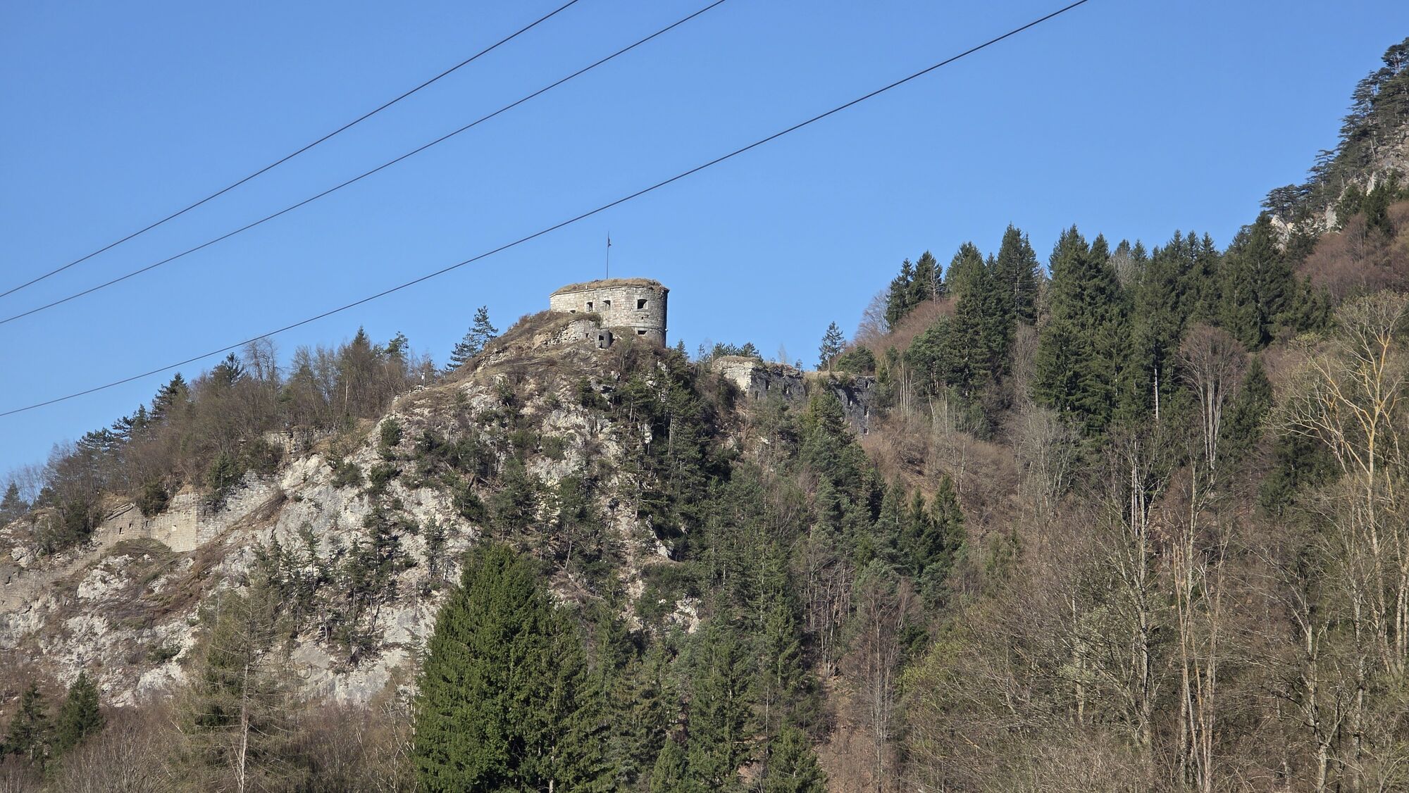
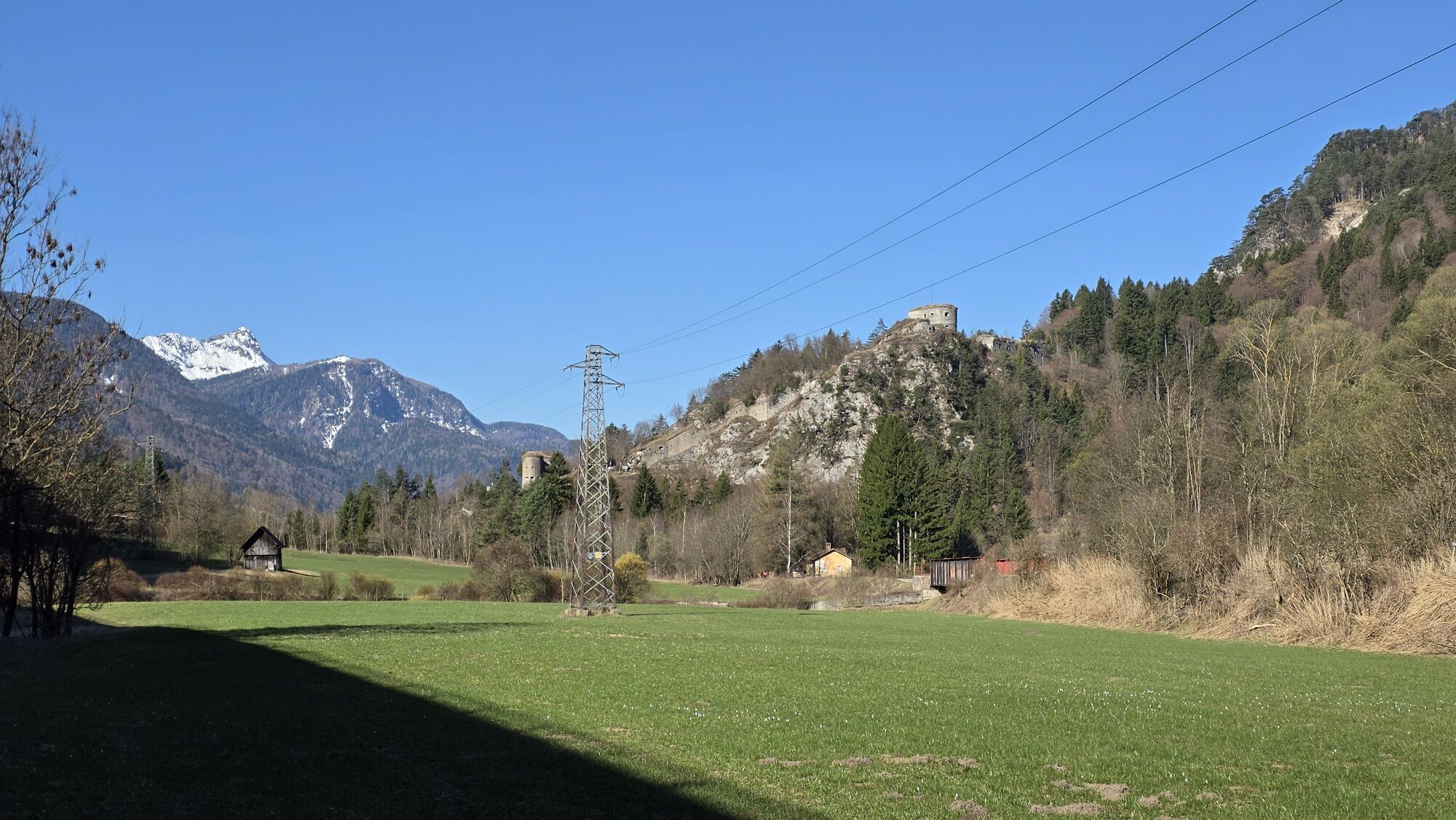
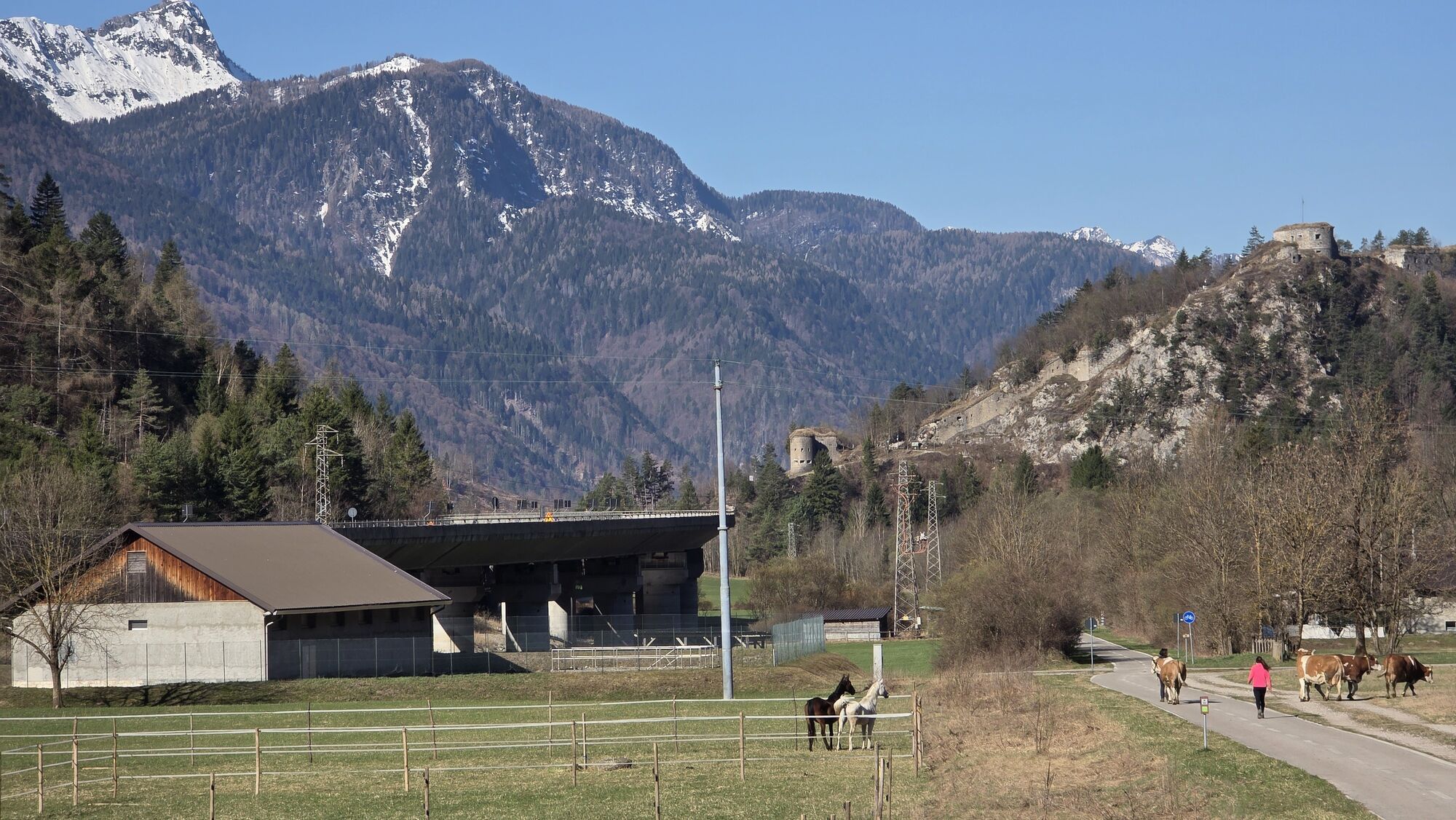
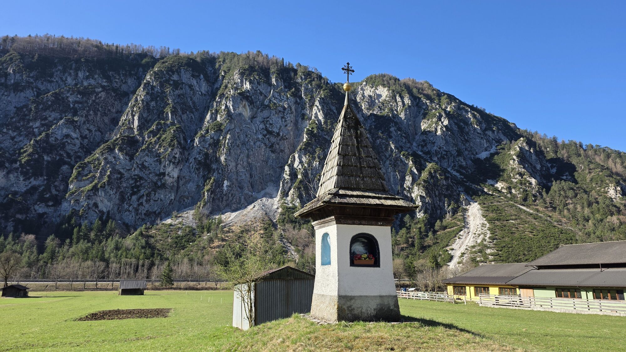
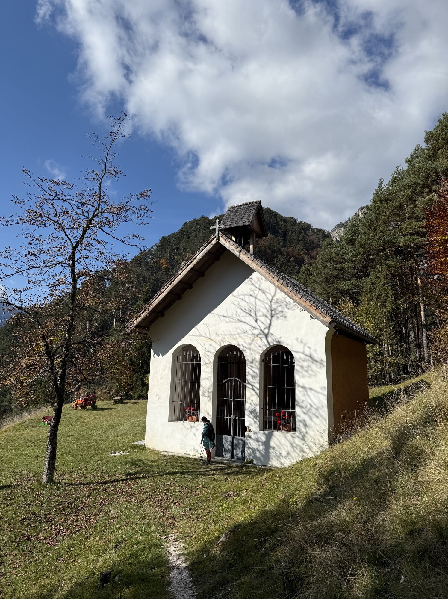
Along the route, you will find numerous sights such as;
Vorderberg Castle Maria im Graben Church Erlebnis Naturbad Vorderberg Koutschitz Alm Dolinza Alm NordioIn summer, the alpine farming offers wonderful, regional delicacies - an ideal refreshment!
Obľúbené výlety v okolí
-
4,7
Tarvisio - Venzone (C101)
strednáDiaľková cyklotrasa 64,7 km -
4,9
Orrido dello Slizza, Tarvisio, Italië
svetloTuristika 2,65 km -
4,5
Monte Lussari
strednáSkitour 10,7 km -
4,4
Monte Lussari über den alten Pilgerweg
strednáTuristika 6,43 km -
4,4
Cima di Terra Rossa
Turistika 4,90 km -
4,2
Monte Santo di Lussari, Skitour, Pilgerweg
strednáSkitour 9,35 km -
4,2
Slow Trail Pressegger See RW_N16
svetloTuristika 5,78 km -
4,6
ST_N7 Gartnerkofel (2,195 m)
Skitour 3,94 km -
4,7
Tschekelnock
strednáTuristika 8,93 km -
4,0
Jof di Miezegnot 2087m (Malborgether Mittagskofel)
Turistika 9,90 km
Turistika a stopovanie


Nenechajte si ujsť ponuky a inšpiráciu na ďalšiu dovolenku
Vaša e-mailová adresa bol pridaný do poštového zoznamu.