


HP7 Madritschen Tour
Úroveň náročnosti: S0

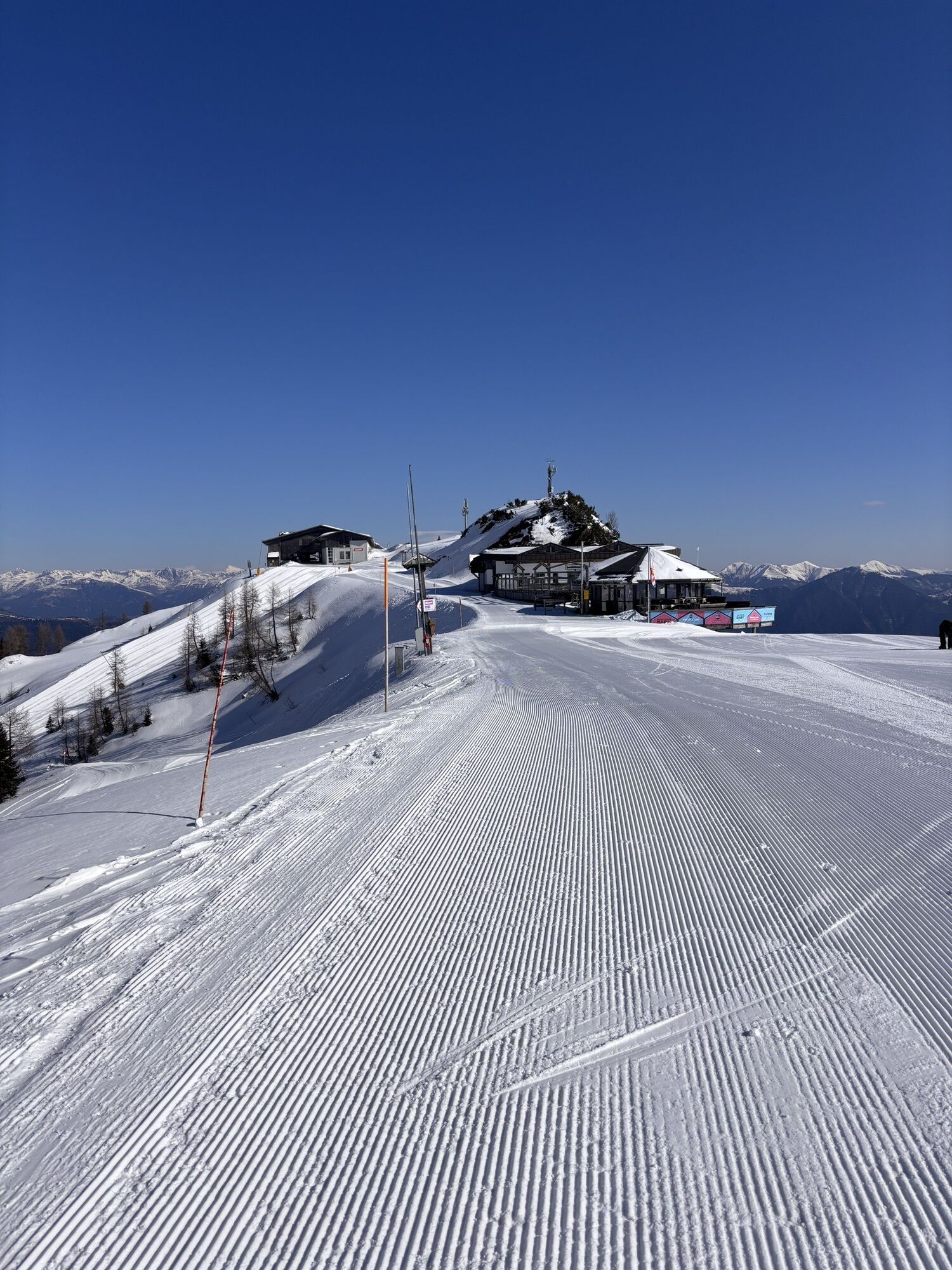

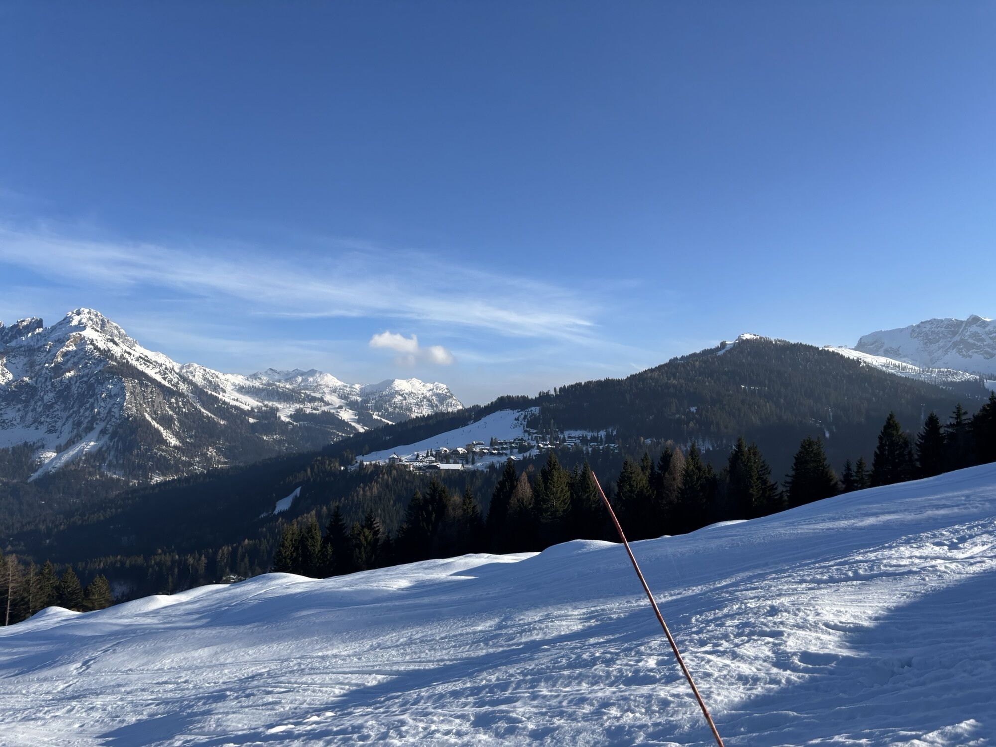
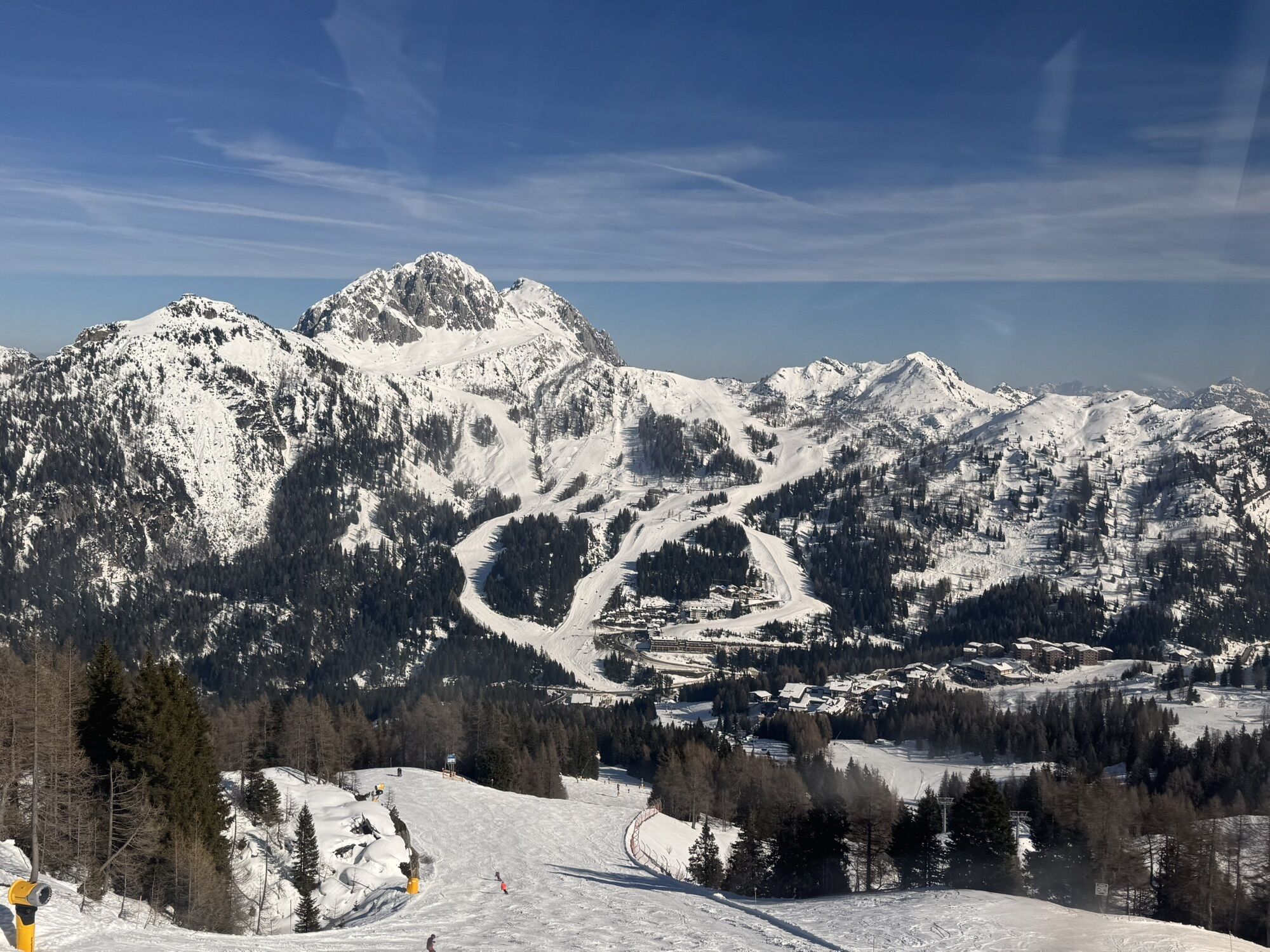
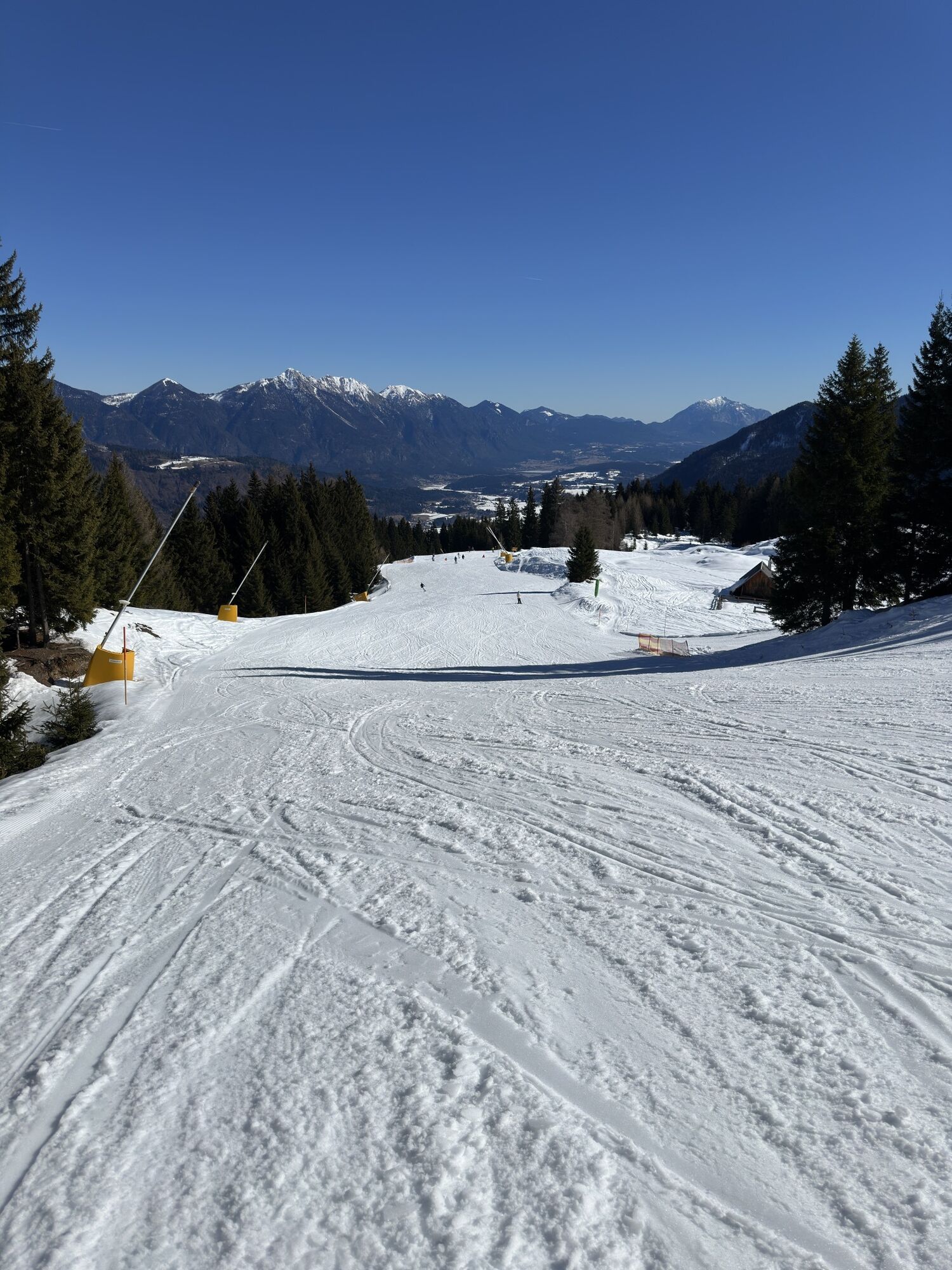

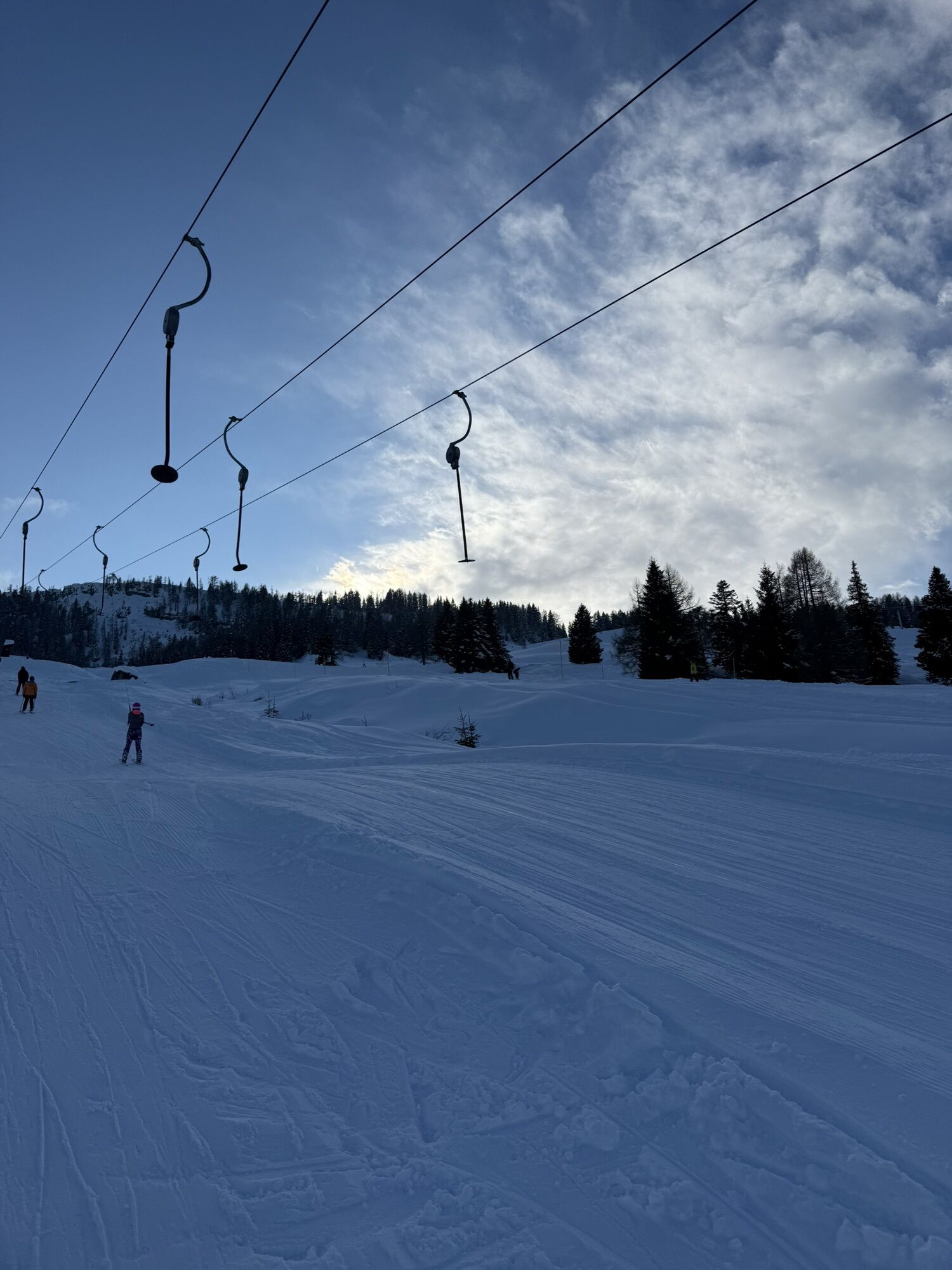
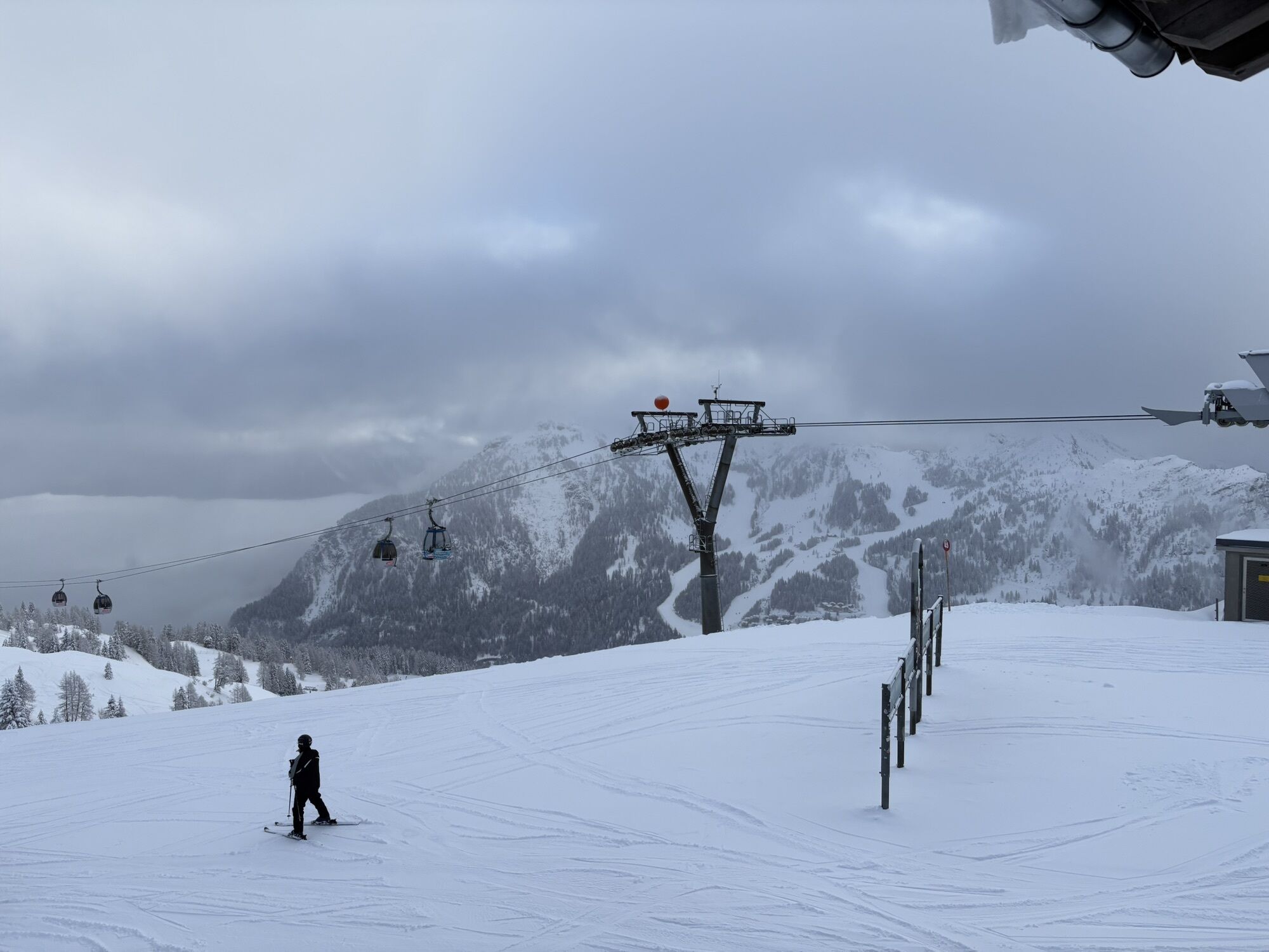
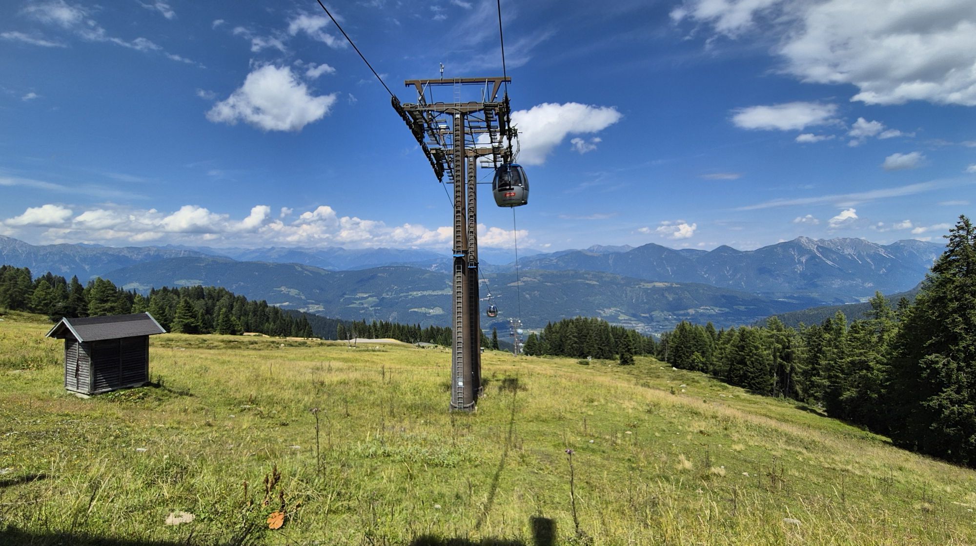
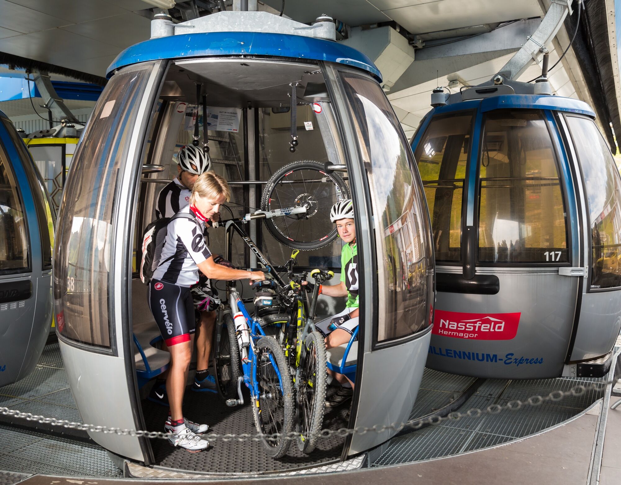
The start of this adventure is at the valley station of the Millennium-Express in Tröpolach. It goes comfortably including the bike up to the mountain station at Madritsche. After arriving at the top,...
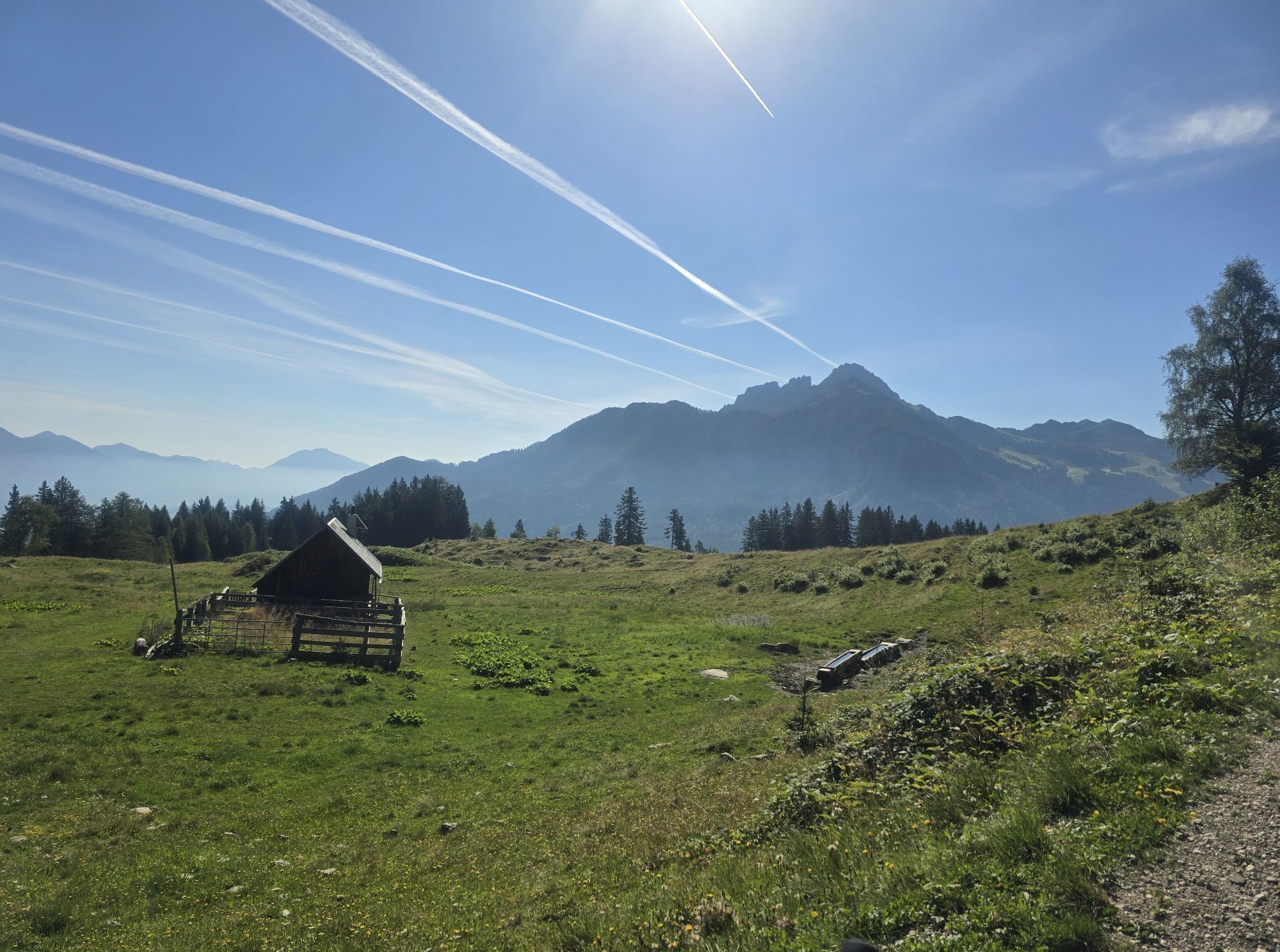
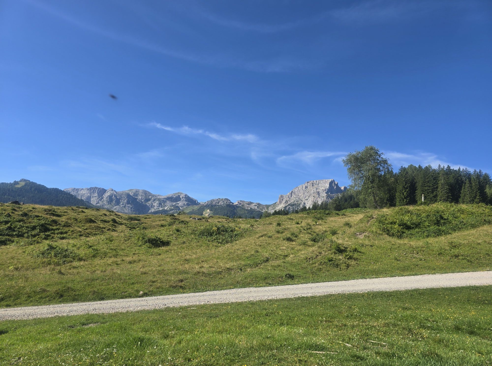
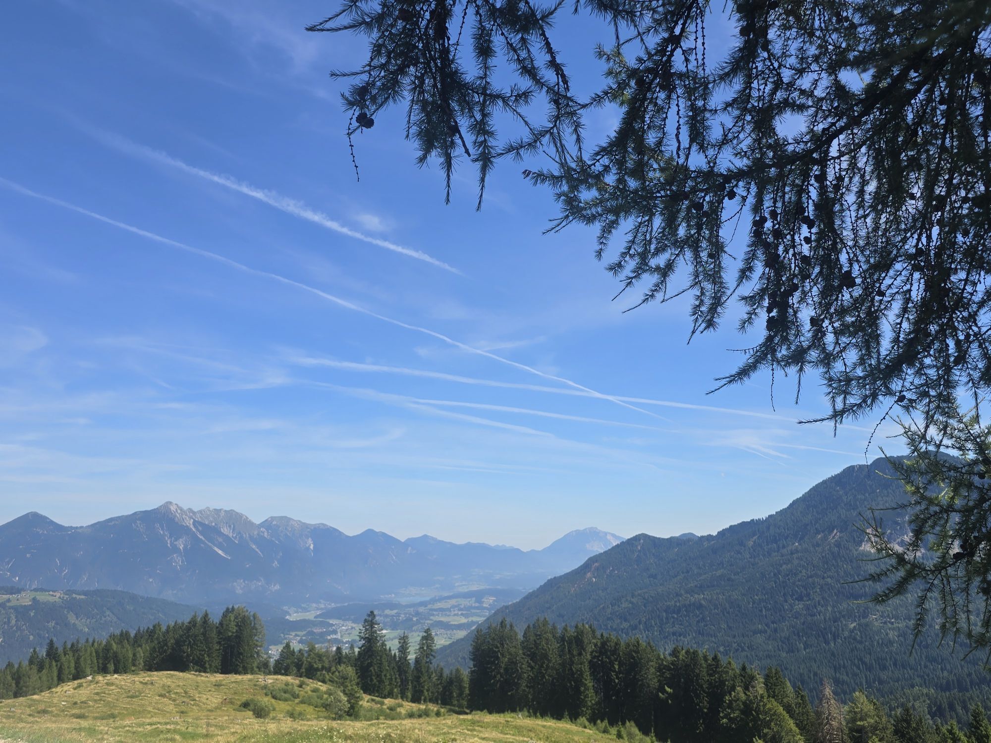
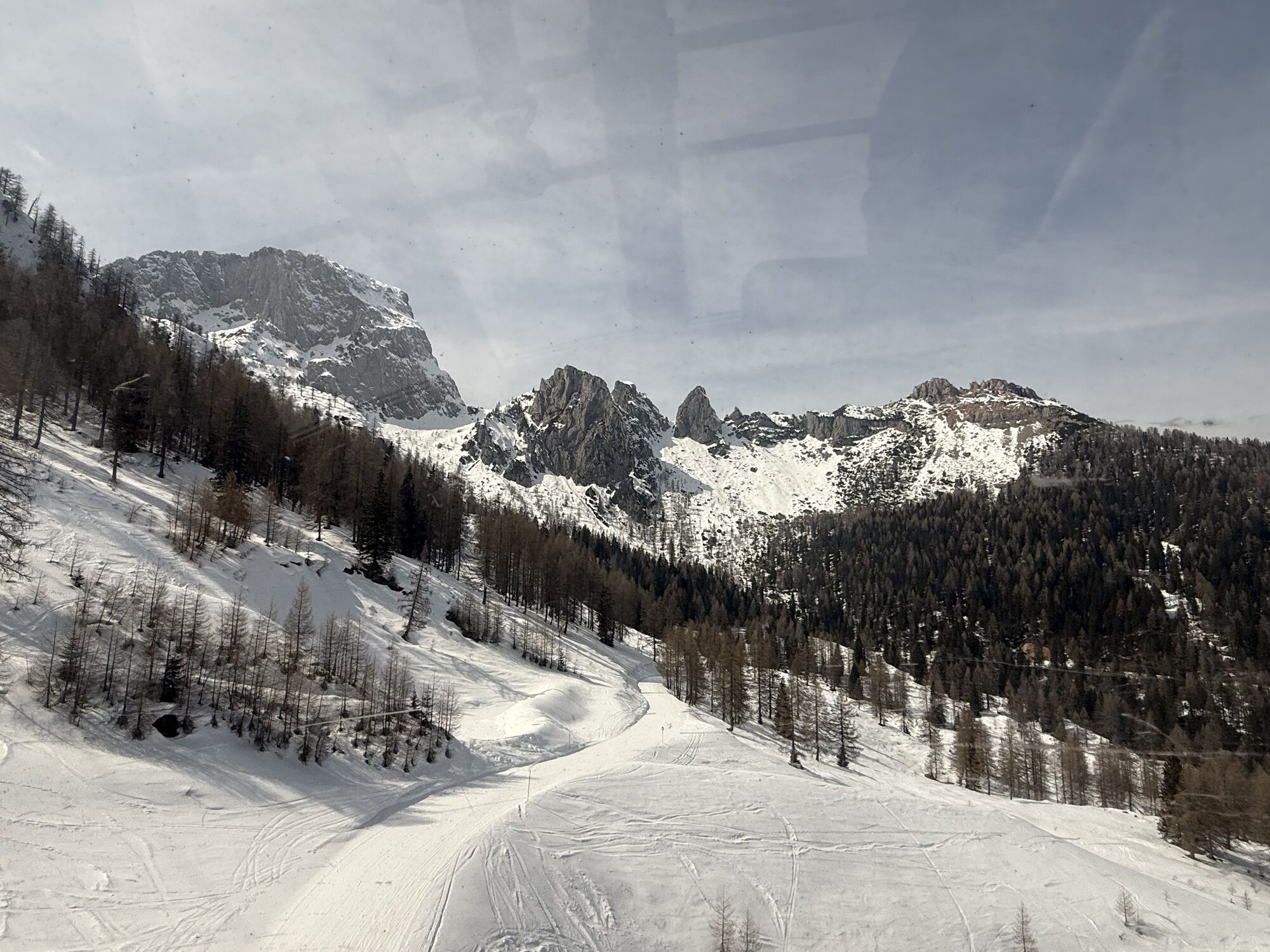
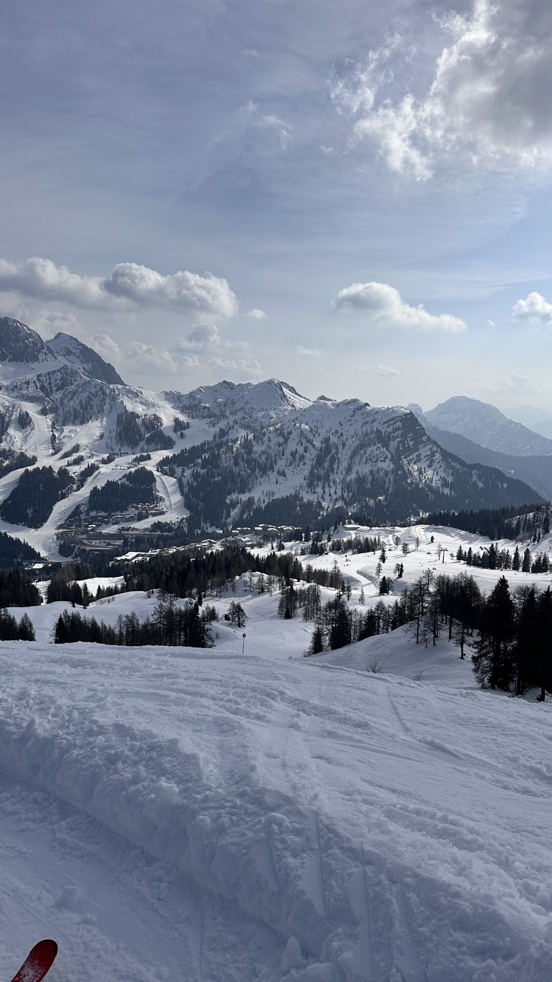
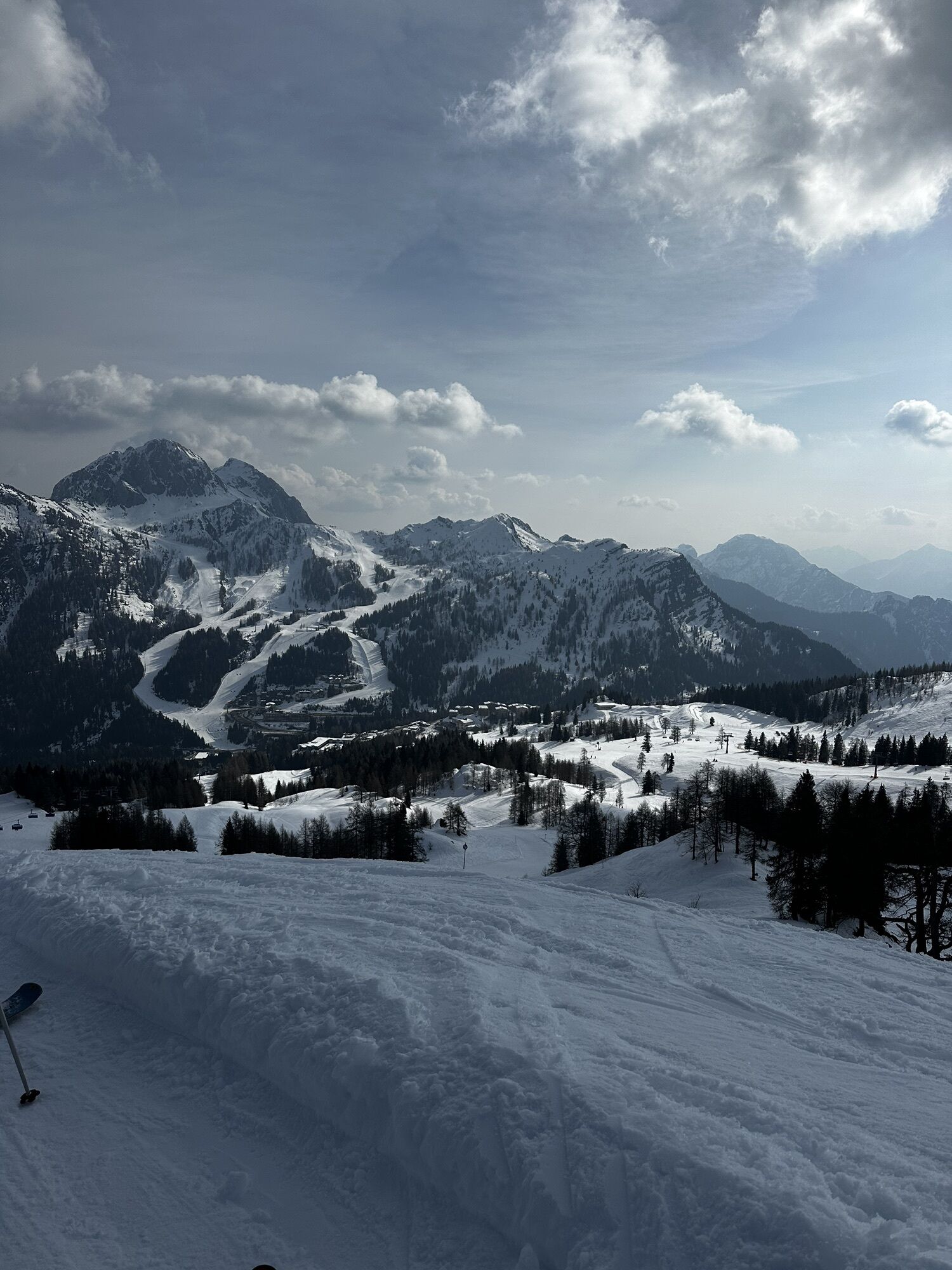
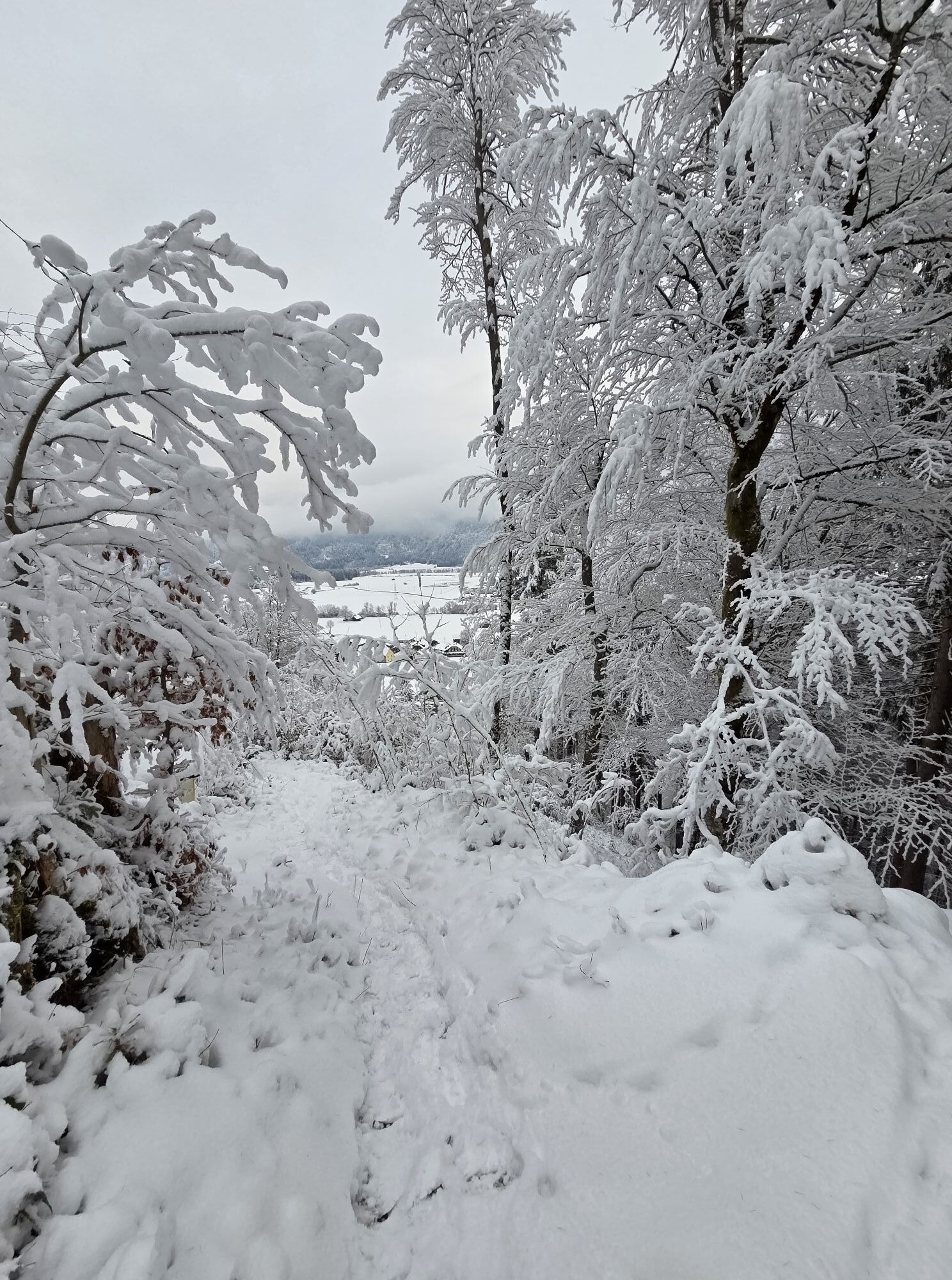
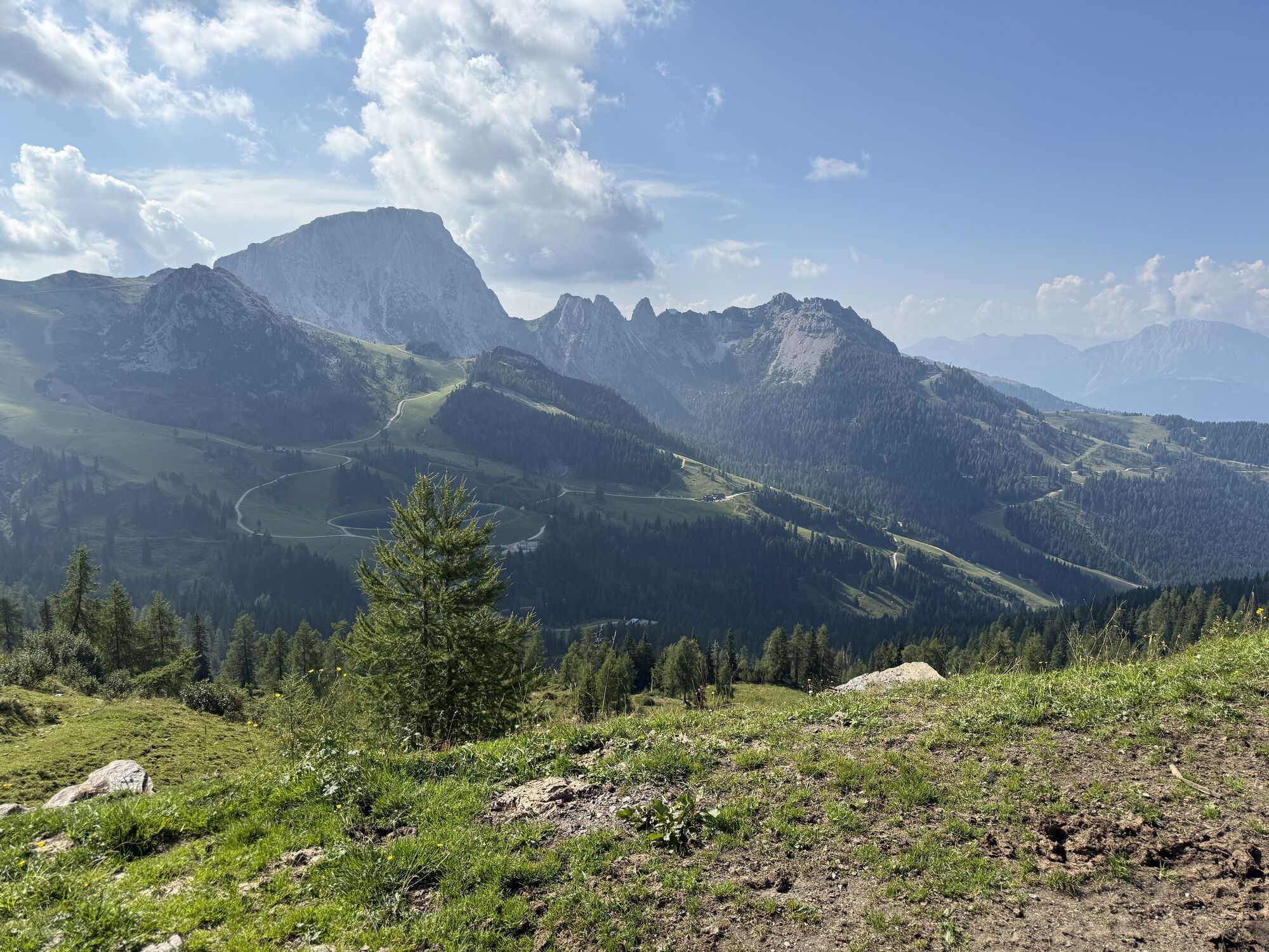
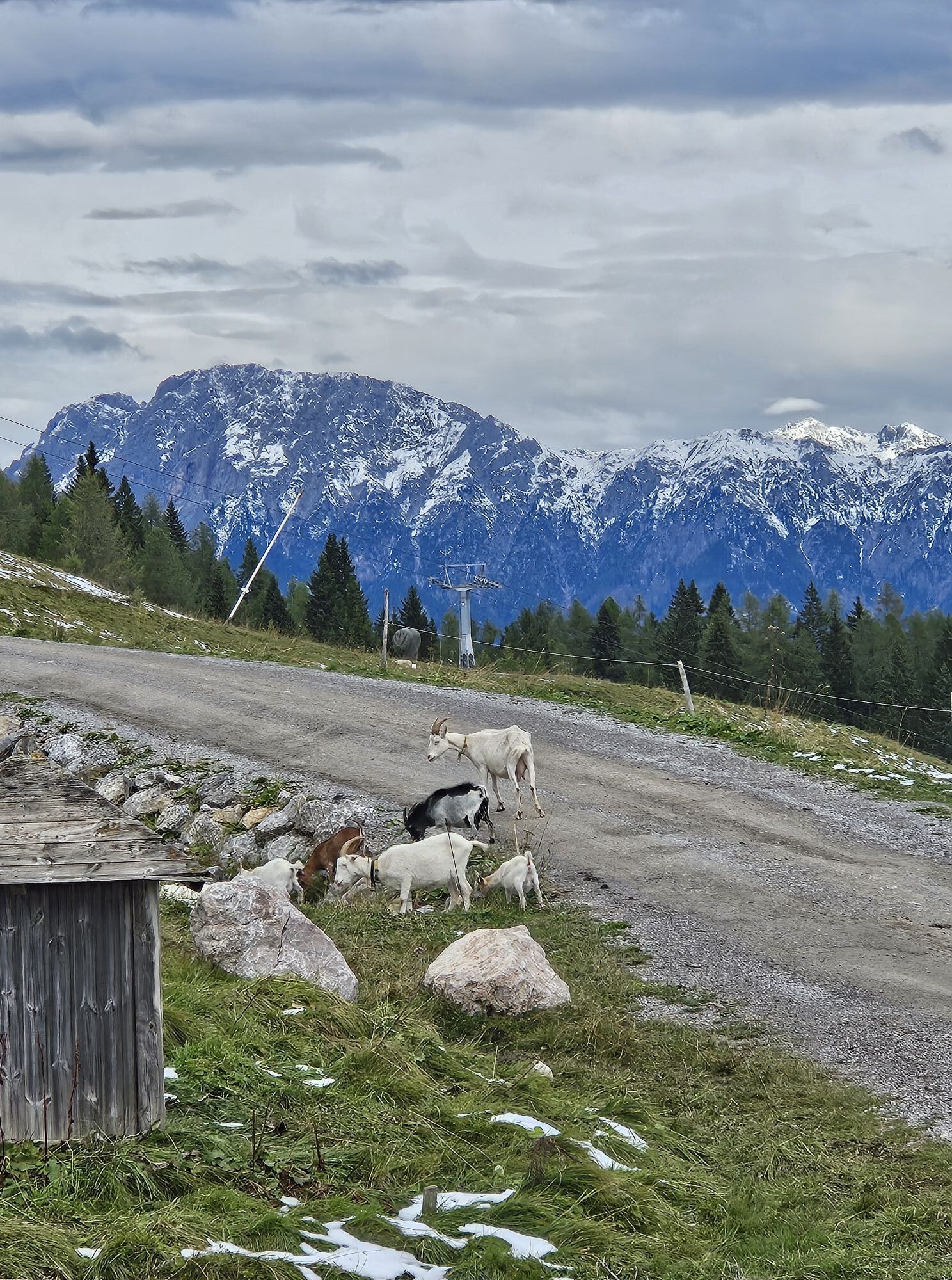
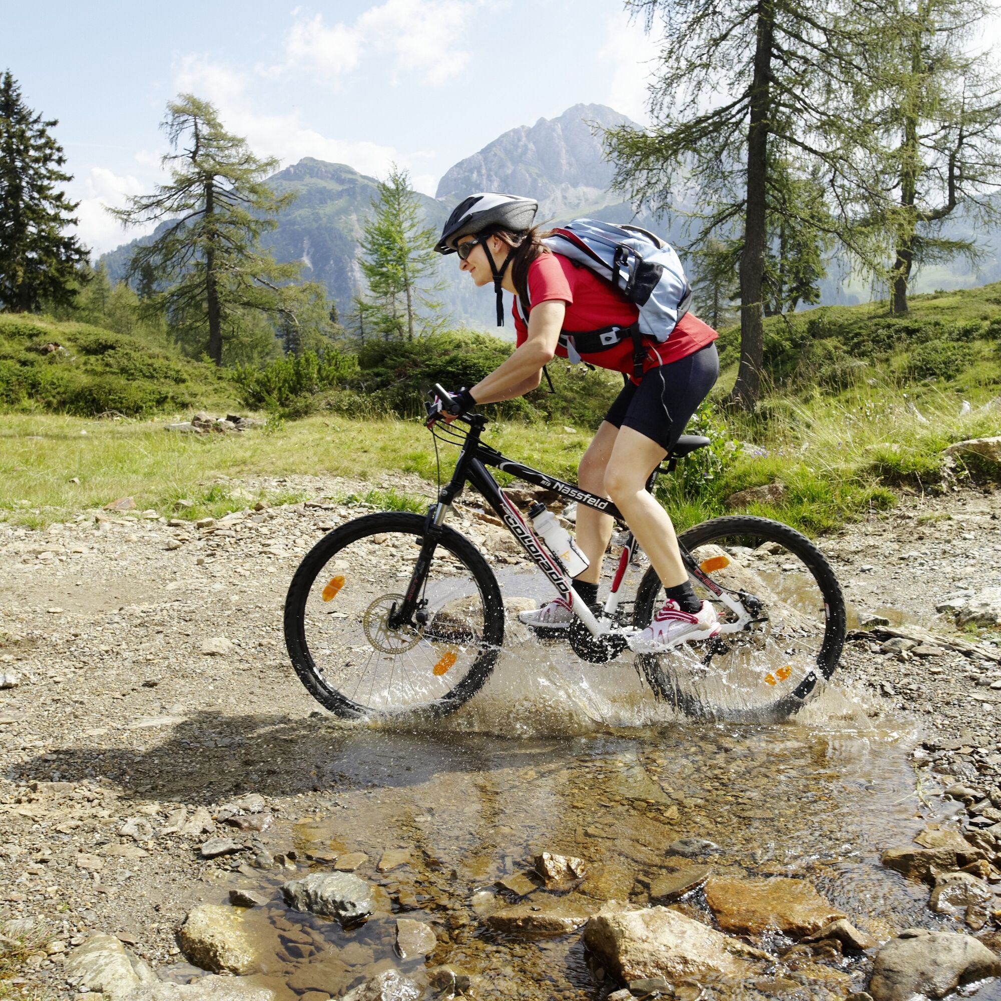
The start of this adventure is at the valley station of the Millennium-Express in Tröpolach. It goes comfortably including the bike up to the mountain station at Madritsche. After arriving at the top, there are 15 kilometers between you and the valley. The downhill route mainly follows gravel and requires considerable stamina – especially in the upper arms. Along the way through the Carnic Alps, you pass impressive rock formations and the typical flora and fauna of the region, the same panorama that previously amazed you from the valley.
The bike route can also be started directly at the Millennium-Express valley station.


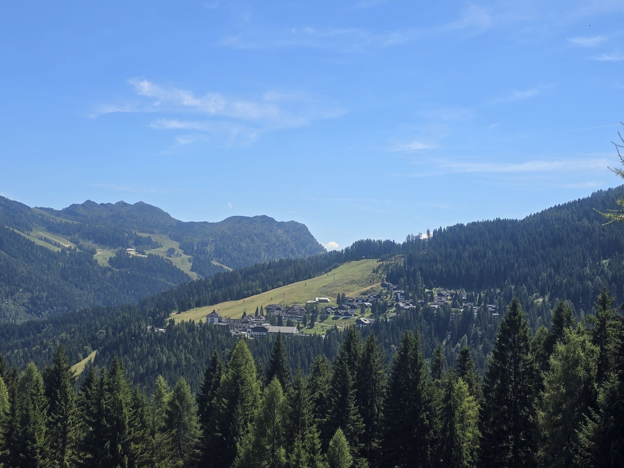
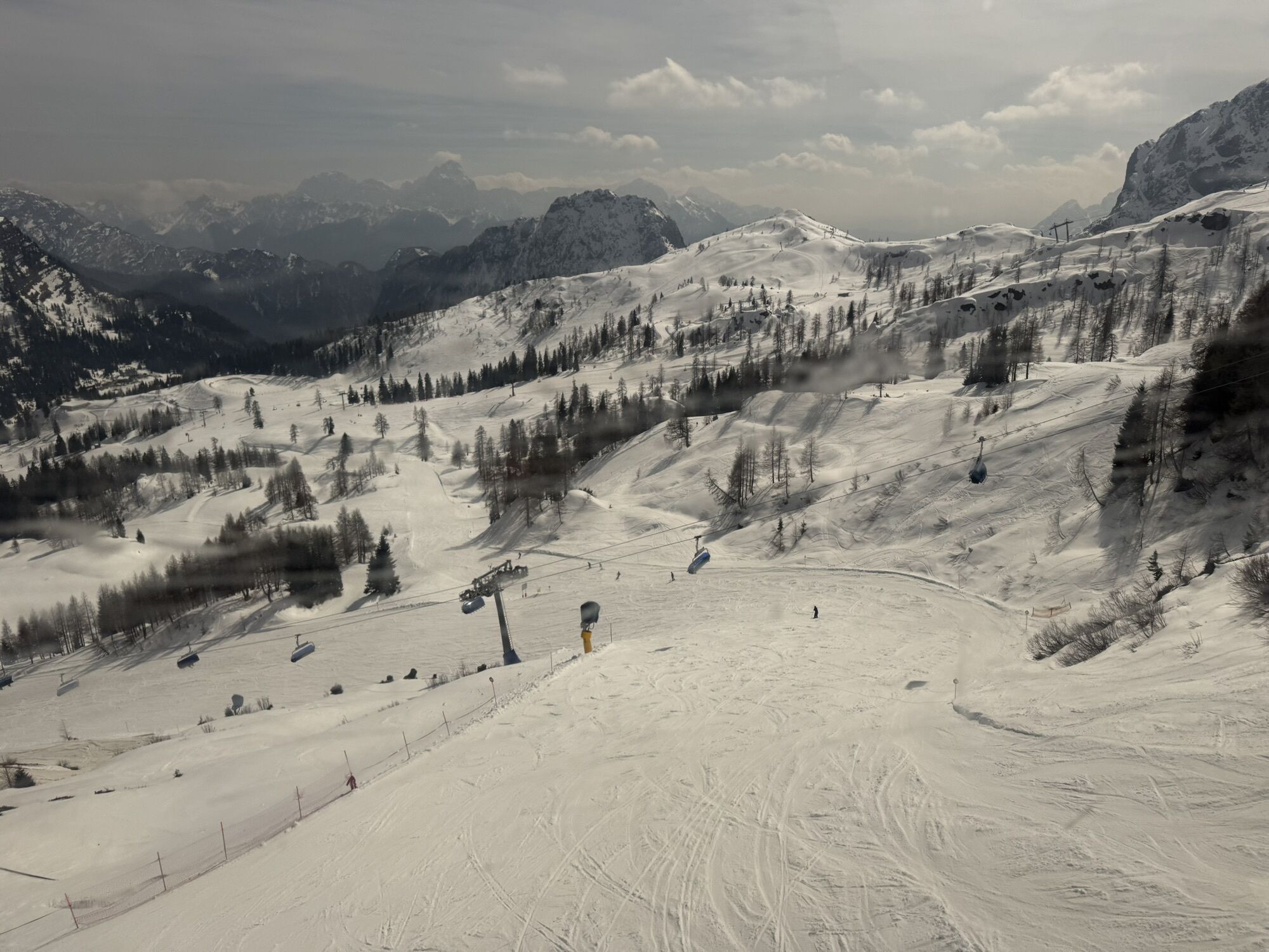
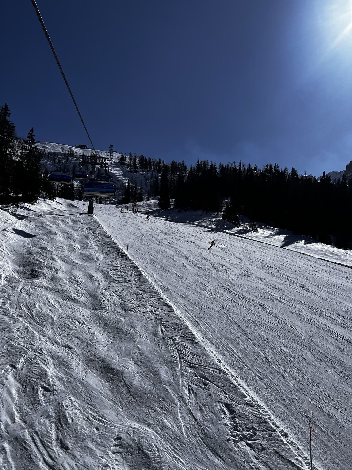
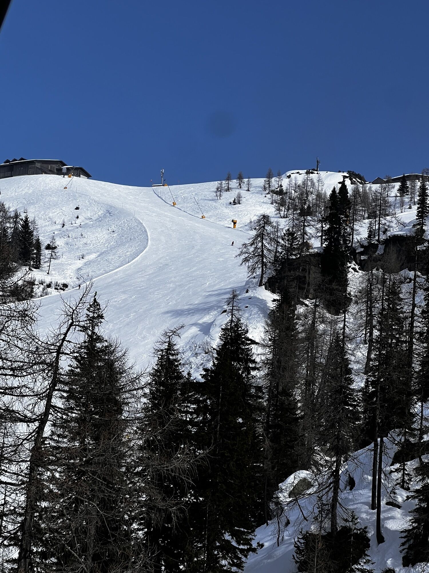
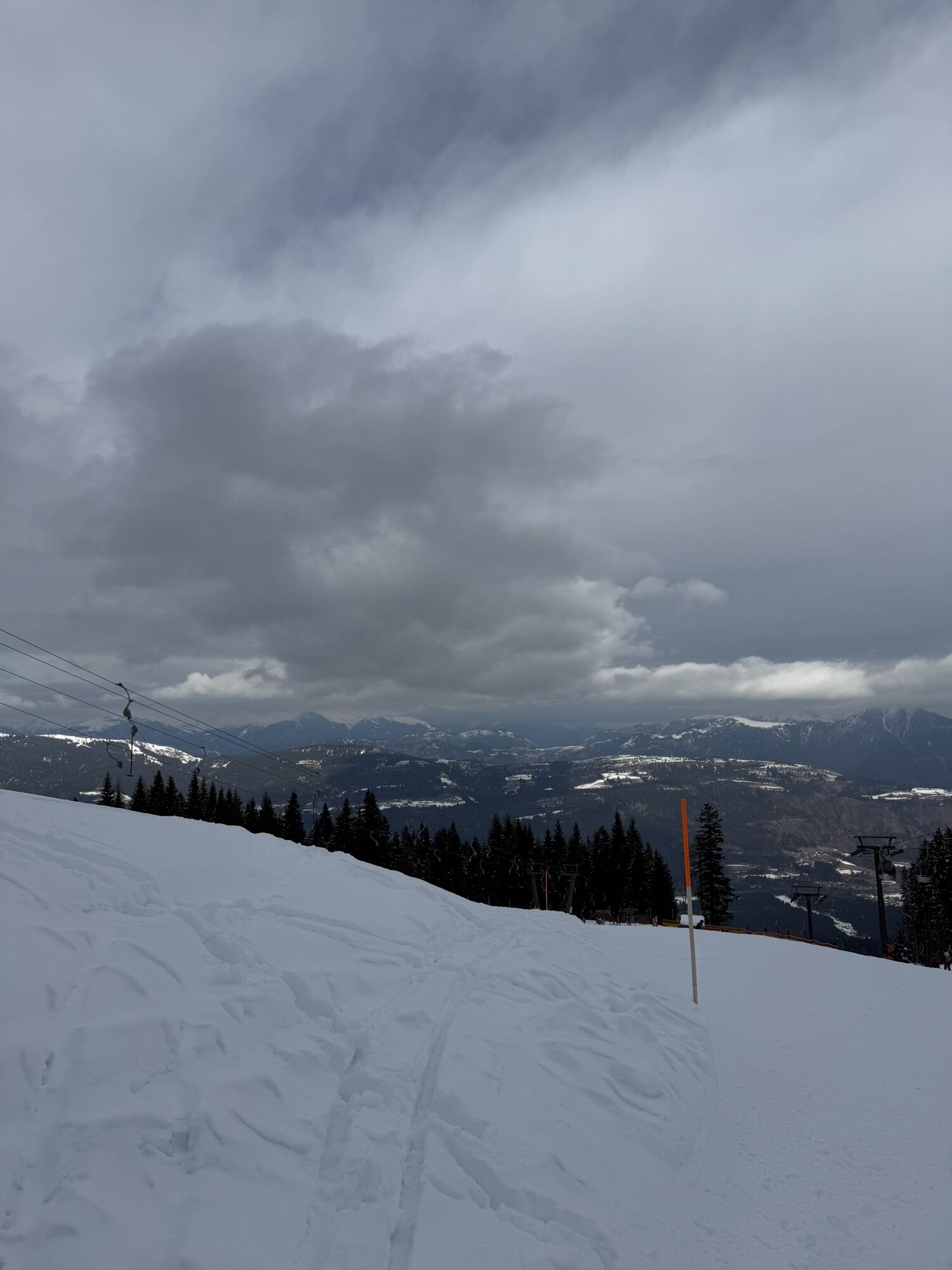
The Lift & Bike Giro runs continuously downhill from Madritsche, past the Rudnigalm, over Tomritsch, and down the Carnia valley descent to the first intermediate station of the Millennium-Express, Gmanberg. From here, it goes downhill the last few altitude meters to the exit point in Tröpolach and the parking lot.
From the mid-station at 1,000 m above sea level, you can use the Flow Trail "MEX-Line 1" as an alternative.
Áno
Helmet mandatory!!!!!!!
Proper clothing: Adapt your clothing not only to the current weather conditions. Also pack warm clothing, a spare jersey, and rain protection in summer, but especially in the pre- and post-season.
Emergency equipment: first aid kit, repair kit (spare tube, pump, tools), map, mobile phone, and possibly GPS
WARNING: Reception is not guaranteed everywhere in the mountains!
Bring enough to drink and plan a stop in good time
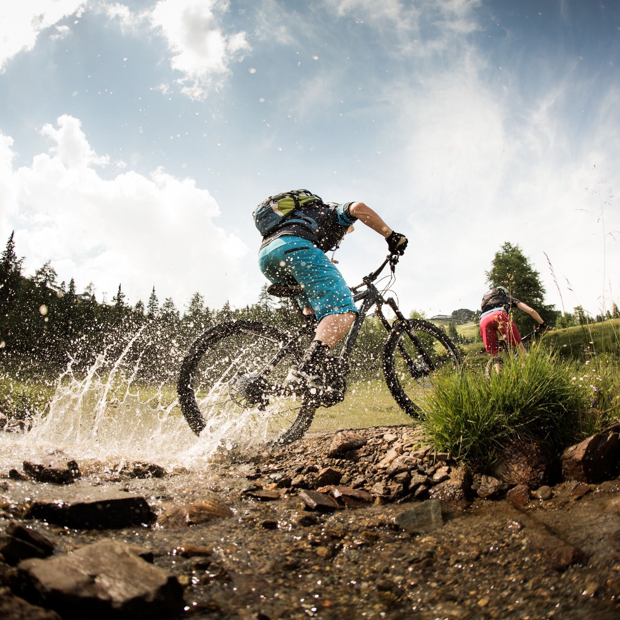
This route is not a downhill track but is rather not recommended for children. The descent is especially demanding on the upper arms.
Absolute riding ban if the line is closed! Always ride at half visibility. Always adjust your speed so you can stop in time before obstacles or avoid oncoming traffic. Watch out for pedestrians and hikers and pass slowly. Riding this route with motorcycles will be reported without exception. Using the bike paths is at your own risk. In the forest, camping, staying overnight in darkness, making fires, disturbing wild animals, or entering forestry plantations under 3 m tree height is legally prohibited. Regularly check your sports equipment and wear a helmet. Only the use of released, marked routes is allowed. Never leave the marked path. Please be considerate of the environment. Avoid noise and pollution. Limit riding activity during twilight to protect wildlife. Observe traffic regulations and provide first aid if necessary. Always close pasture gates and doors. Be cautious during forestry work! Accurate self-assessment. Start early and plan reserves. Leave higher elevations in bad weather. If sections of the route are impassable, make sure you can get through safely. If unsure, turn back early enough. For safe coexistence, please follow the Fair Play rules (link). Emergency number: (+43 4282)112Follow the B111 from Hermagor towards Tröpolach, then along Nassfeld Street to the town of Tröpolach.
Arrival in Tröpolach is possible by public transport.
www.nassfeld.at/mobilitaet
Parking lot Tröpolach - at the valley station of the Millennium-Express
S0
More information – including about the +Card PREMIUM, which includes free ascent with the cable car – is available here!
Don't speed downhill, instead enjoy the surrounding landscape and consciously take in the environment, the pure mountain air, and the flora and fauna! There is certainly still time for a stop at the Rudnigalm – Gailtaler alpine cheese, buttermilk, yogurt, Schotten, and, of course, Brettljausn are waiting for hungry bikers!

Obľúbené výlety v okolí
-
4,8
RW_N9 Weißenbachklamm
strednáTuristika 7,49 km -
4,6
W5 - Naggler Alm Round Weissensee
strednáMountainbike 15,8 km -
4,2
Slow Trail Pressegger See RW_N16
svetloTuristika 5,78 km -
4,9
Weißenbachklamm
ťažkéTuristika 5,80 km -
4,2
Malurch Nassfeld
strednáTuristika 9,60 km -
4,6
ST_N7 Gartnerkofel (2,195 m)
Skitour 3,94 km -
4,9
W14 - Gold route
ťažkéMountainbike 64,8 km -
4,4
Bergstation Weißensee bis Golz
strednáTuristika 14,8 km -
4,8
LS_W7 "Promenade Path"
svetloBeh 6,28 km -
3,0
Hermagor: Gartnerkofel
Turistika 7,70 km
Turistika a stopovanie


Nenechajte si ujsť ponuky a inšpiráciu na ďalšiu dovolenku
Vaša e-mailová adresa bol pridaný do poštového zoznamu.