





St. Andrä: Dachberg Equestrian Village Route
Úroveň náročnosti: 1
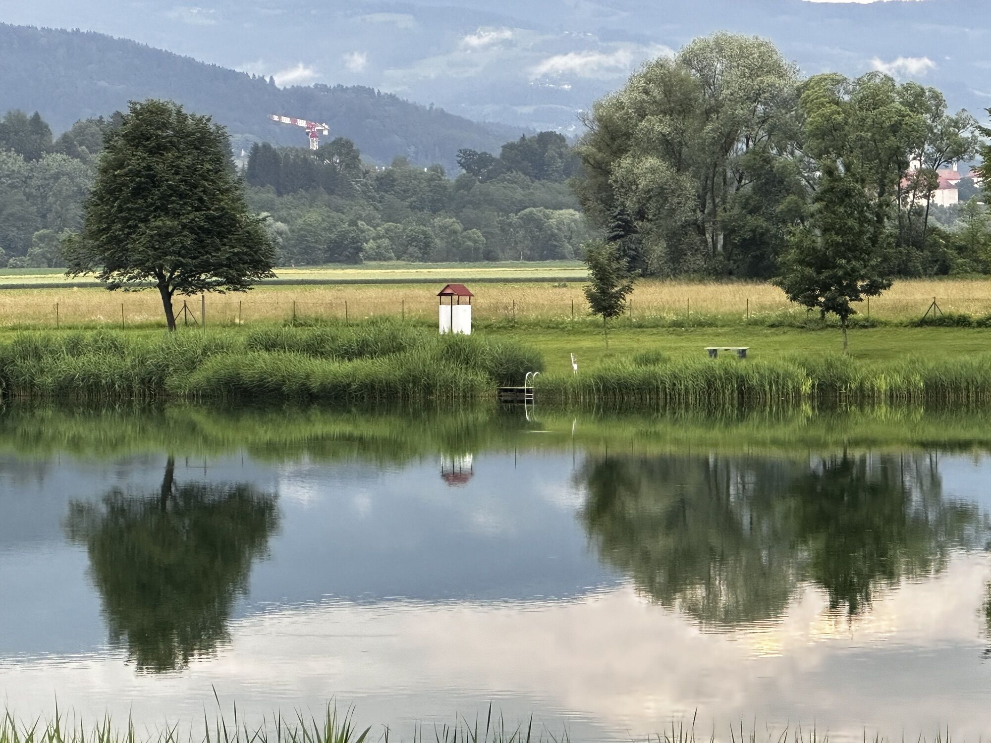
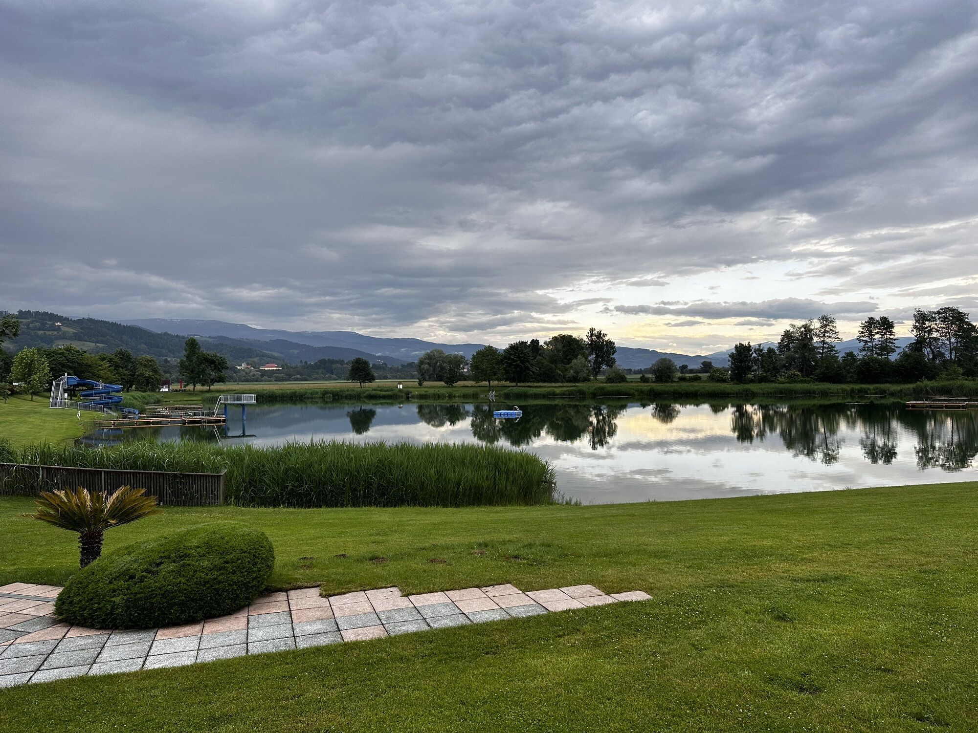
Starting from the recreational area St. Andräer Lake, follow low-traffic roads and trails, passing small villages and settlements, to the Dachberg Equestrian Farm. Beautiful and idyllic equestrian farm...
Starting from the recreational area St. Andräer Lake, follow low-traffic roads and trails, passing small villages and settlements, to the Dachberg Equestrian Farm. Beautiful and idyllic equestrian farm and a must for all horse lovers and those who want to become one to stay longer here. Back at St. Andräer Lake, there is the opportunity to freshen up in the lake and then enjoy culinary delights.
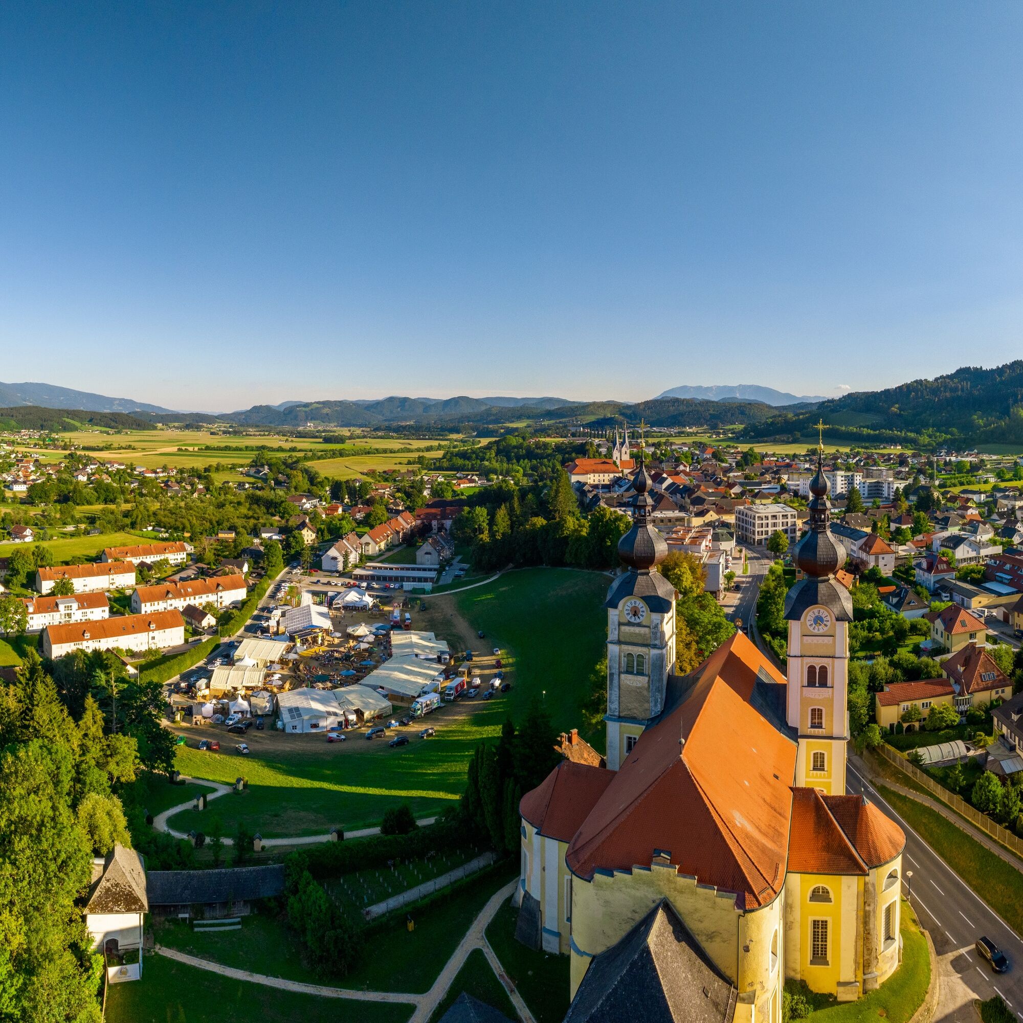
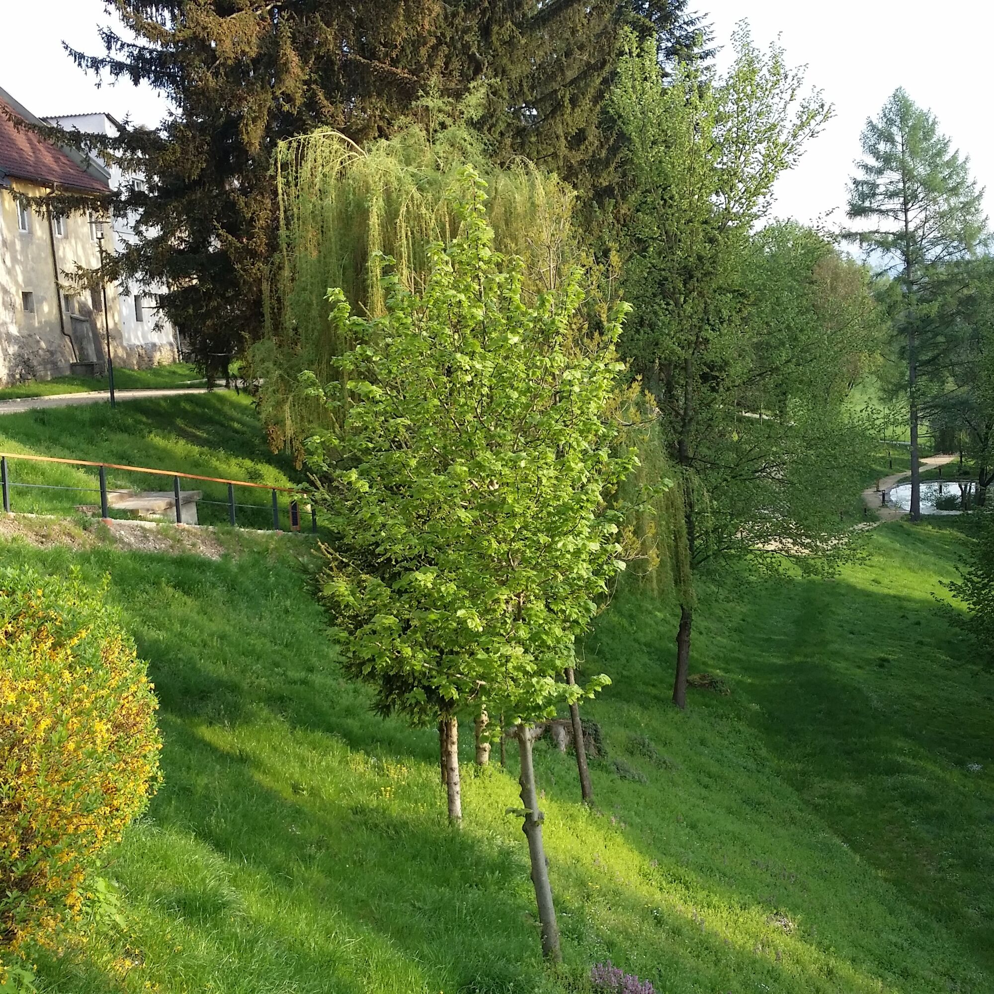
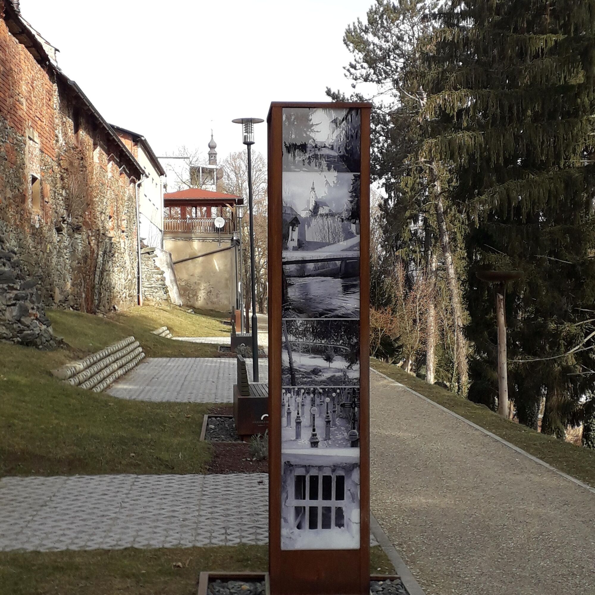
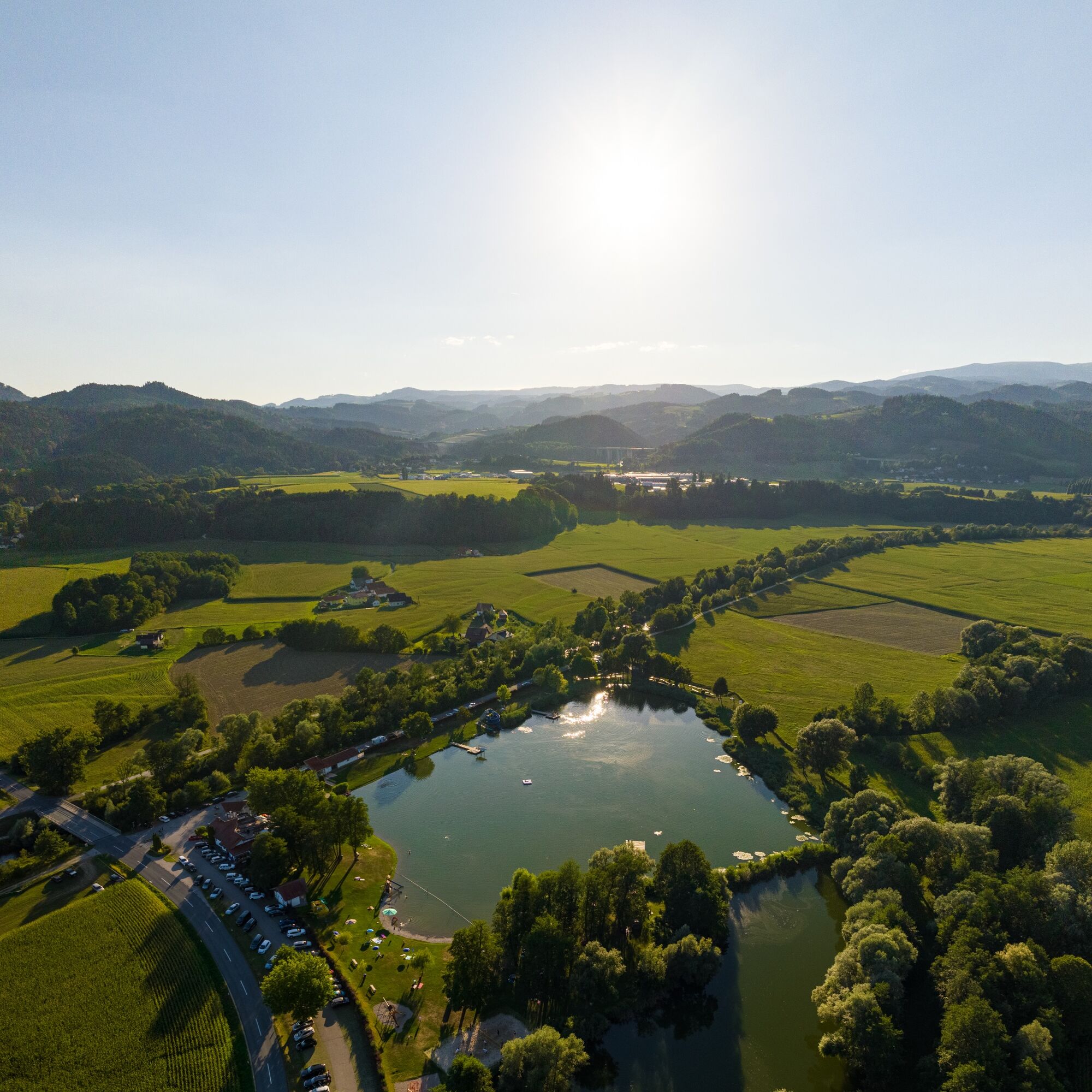

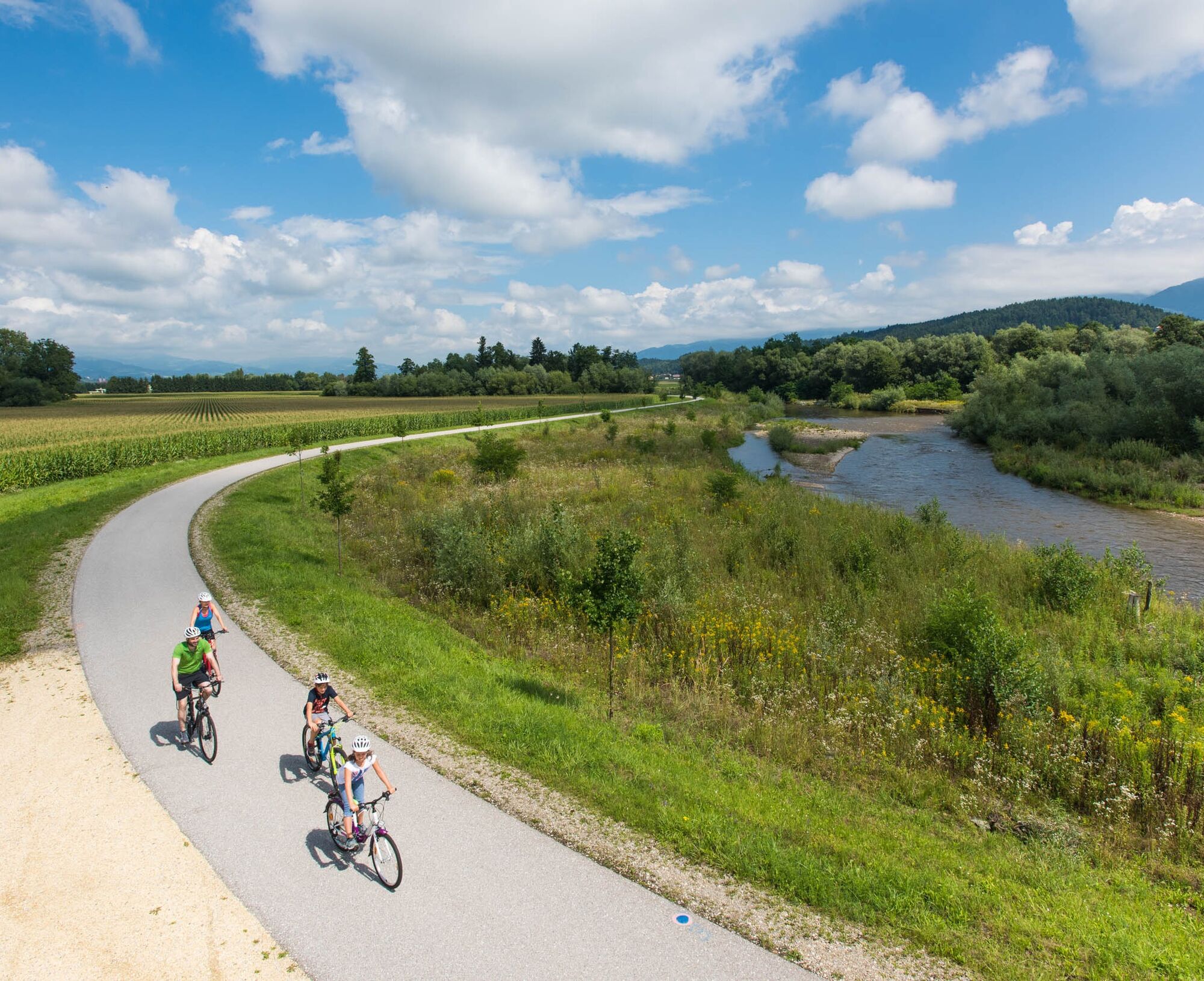
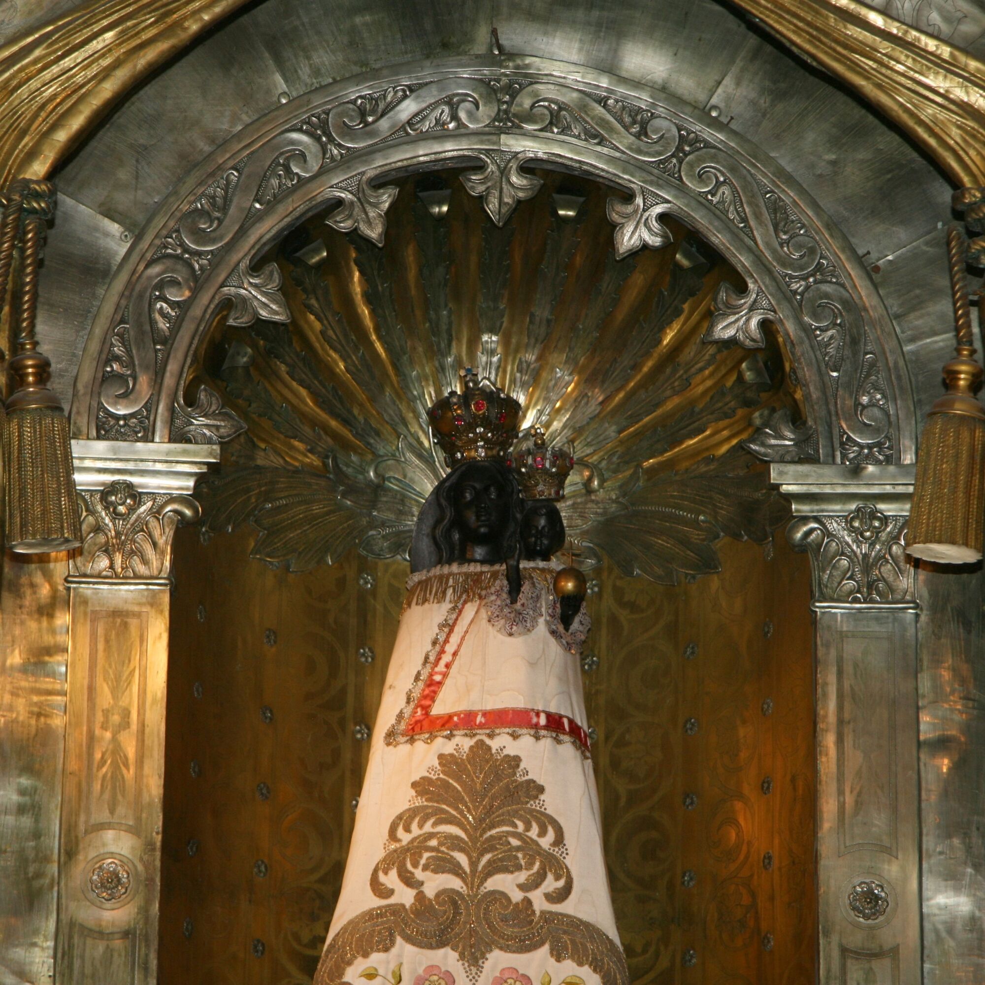

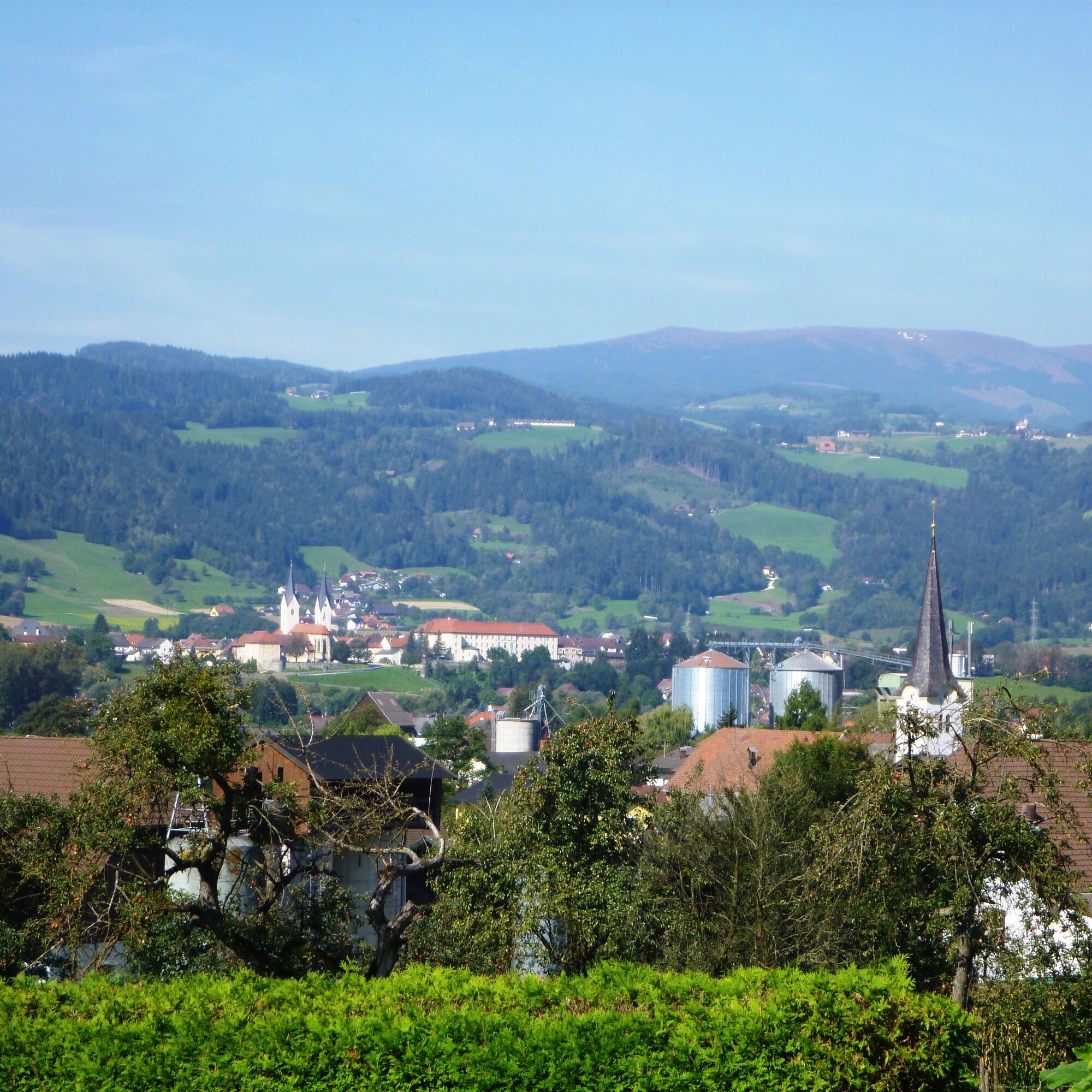

Starting from St. Andräer Lake, head east towards Mühldorf. Continue to the settlement Lindhof - Maria Rojach and then to the village of Gemmersdorf. In St. Ulrich - Eitweg near the sports facility, turn left towards Mosern. The next village is Jakling, and from here it is not far to the Dachberg Equestrian Farm. After a break and possibly a visit by arrangement, return to St. Andräer Lake.
If you have brains, protect them!
The helmet is a matter of course when mountain biking.
Proper clothing!
Even in summer, especially in early and late season, carry warm clothing and a spare jersey. In higher altitudes, bad weather without rain protection is unpleasant.
Carry emergency equipment!
First aid kit, bike repair kit (spare tube, pump, tools), map, mobile phone, and possibly GPS should always be with you (Note: reception is not guaranteed everywhere in the mountains).
Keep drinking & eat in time!
Drink enough and plan a stop in time. A hunger break in the middle of nowhere is tough.
Adjust your speed!
Always ride defensively and only as fast as you can stop in time before obstacles or avoid oncoming traffic. Always be attentive. Cool is the one who passes pedestrians and hikers slowly.
Proper self-assessment!
Do not overstrain yourself or your companions. Plan reserves.
A2 South Motorway - Exit St. Andrä - third exit at the roundabout - until you reach the town center of St. Andrä.
By bus or train to St. Andrä - ÖBB Timetable
Large parking lot at the St. Andrä sports facility.
1
In autumn 1997, a foam mill was completed in Gemmersdorf on the Gemmersdorferbach, directly on the St. Andräer snack route. This mill is fully functional and can be visited by appointment at 0664/3431325.
Obľúbené výlety v okolí
-
4,7
Koralpe: hike to the summit cross
svetloZimná turistika 4,23 km -
4,4
Koralpe: summit tour to the Großer Speikkogel
strednáSkitour 11,6 km -
4,5
Weinebene - Moschkogel - Rundweg
svetloTuristika 7,27 km -
4,1
Schneeschuhwanderung Weinebene
svetloSnežnice 7,40 km -
5,0
Koralpe: Hike to the Großer Speikkogel
strednáSnežnice 10,5 km -
4,2
St. Paul: Klettergarten und Klettersteig Rabenstein
strednáVia ferrata 0,89 km -
4,0
Koralpe: panoramic hike
svetloZimná turistika 6,57 km -
3,7
Koralpe: panoramic circular hike
strednáTuristika 13,2 km -
4,8
Großer Speikogel, Koralpe, Kärnten
svetloHorská turistika 8,46 km -
4,3
Soboth Runde St.Vinzenz-Dreieckhütte-Gundischhütte
svetloTuristika 12,4 km
Turistika a stopovanie


Nenechajte si ujsť ponuky a inšpiráciu na ďalšiu dovolenku
Vaša e-mailová adresa bol pridaný do poštového zoznamu.





