







From the gunsmith town to the mountaineer village
Úroveň náročnosti: 4
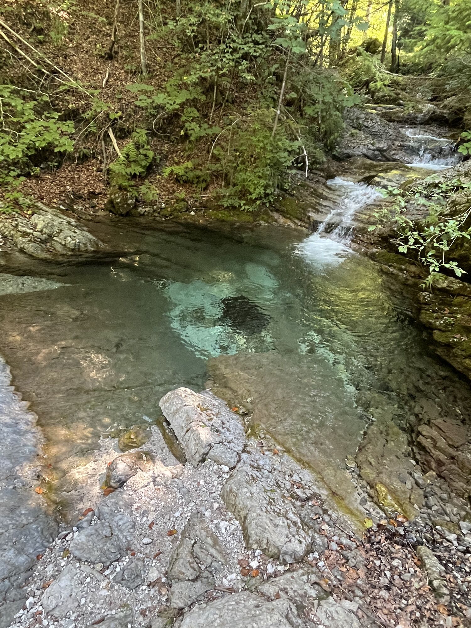
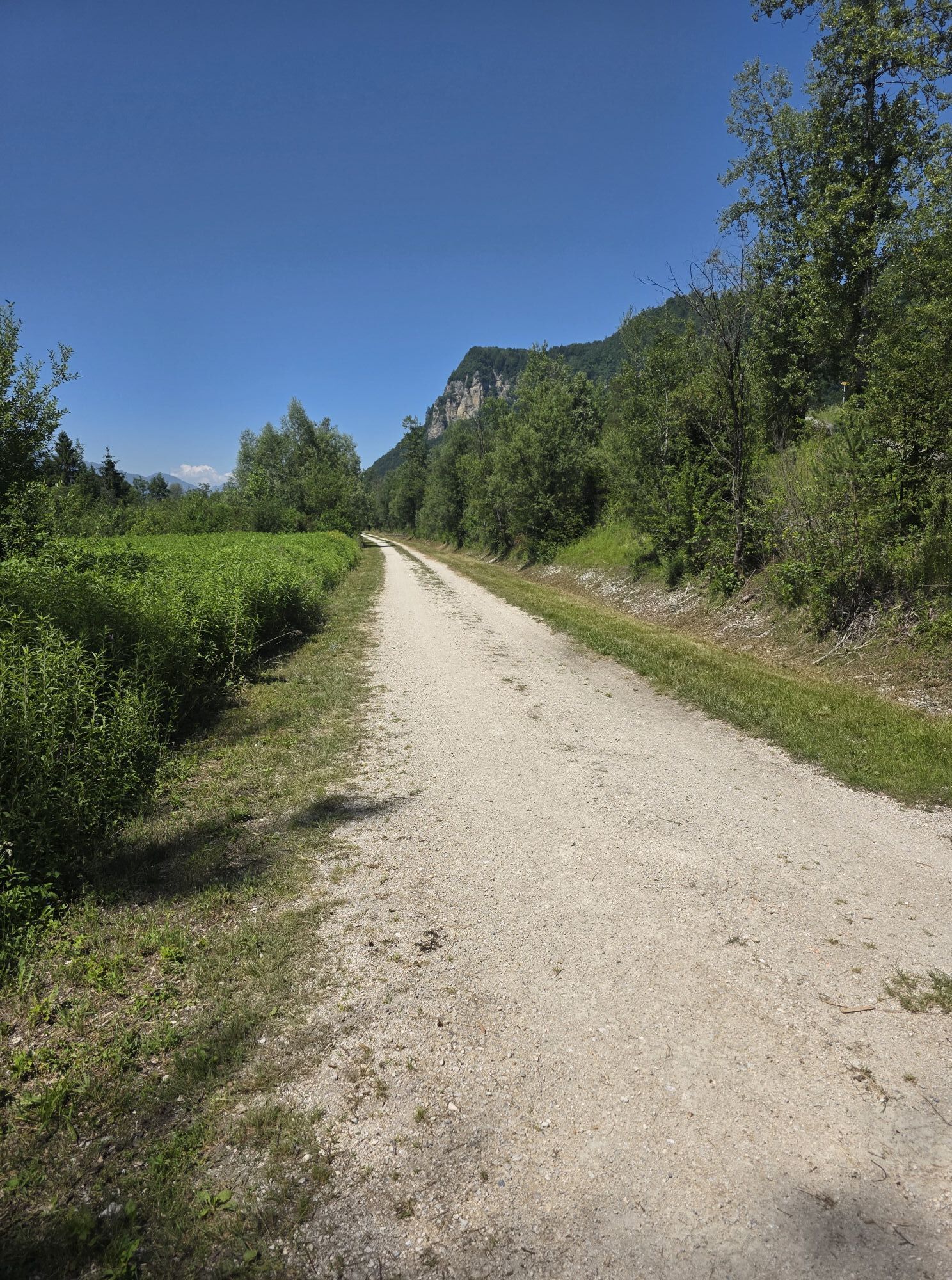
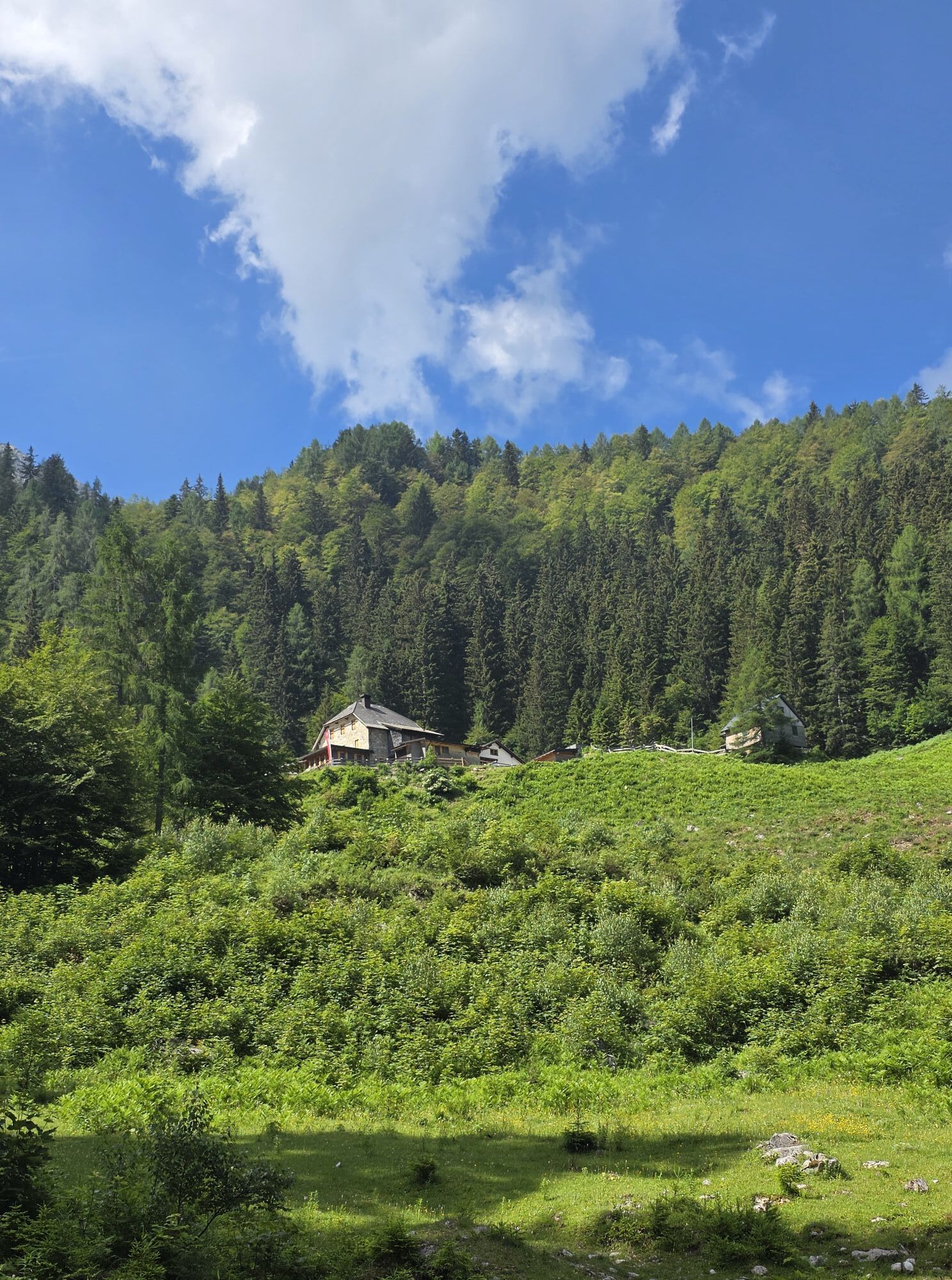
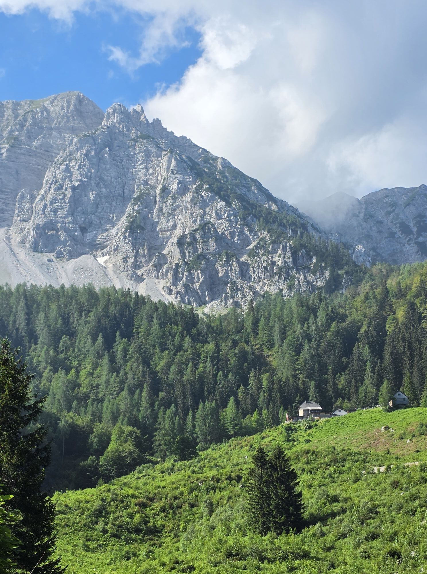
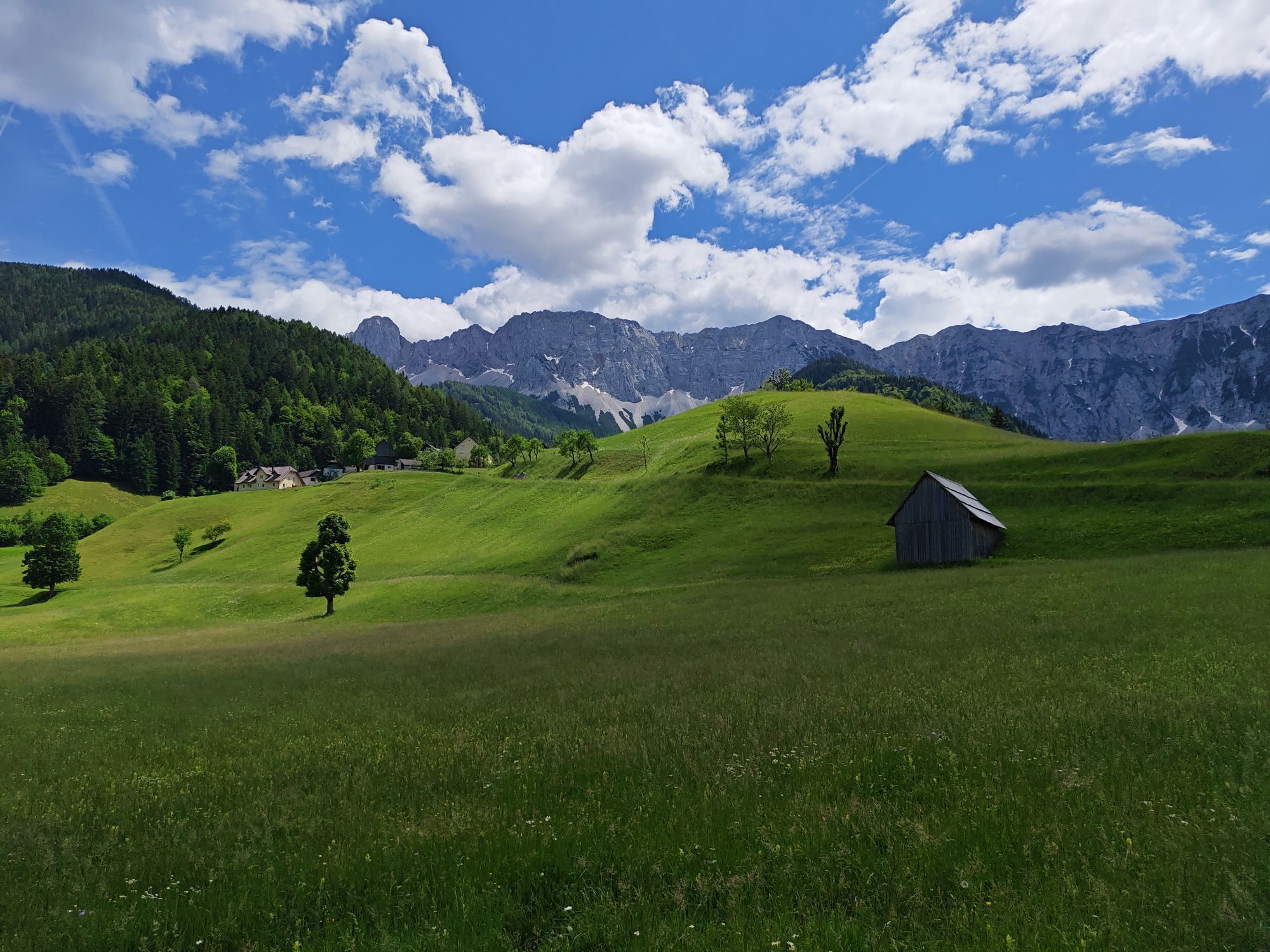
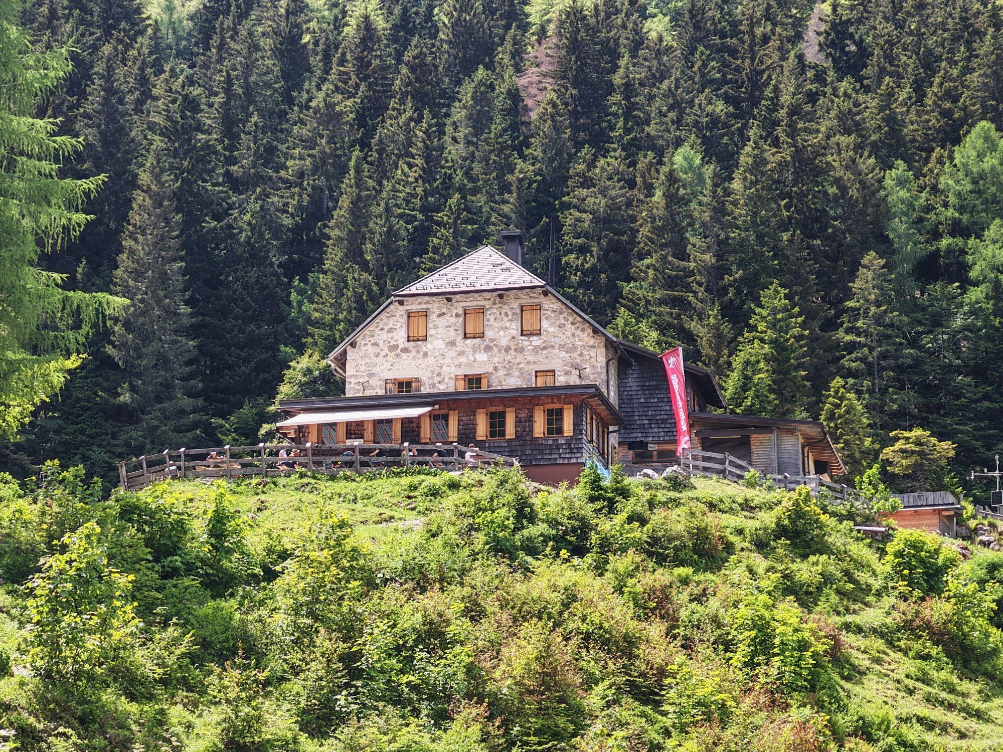
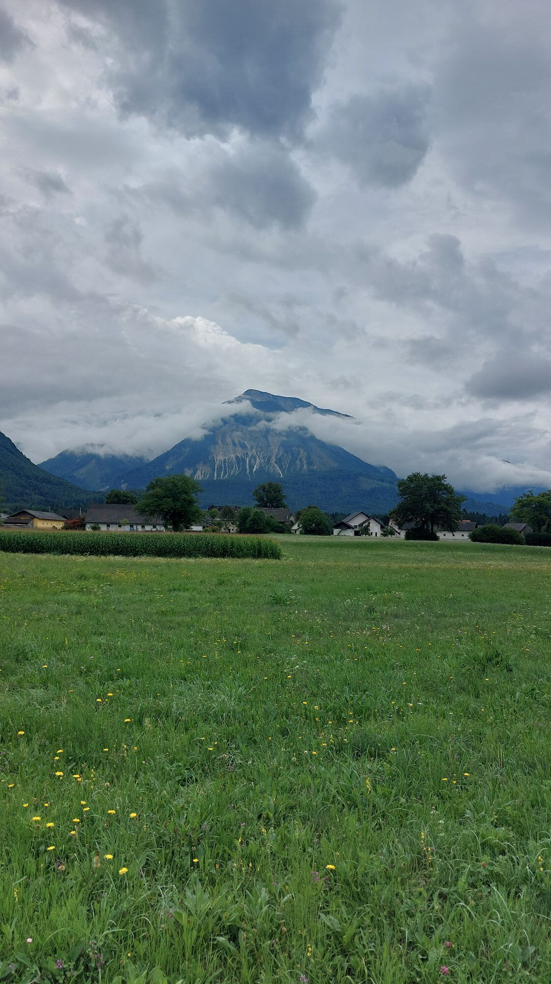
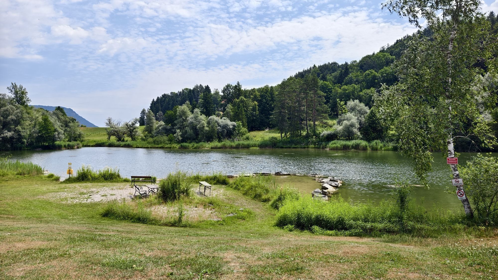

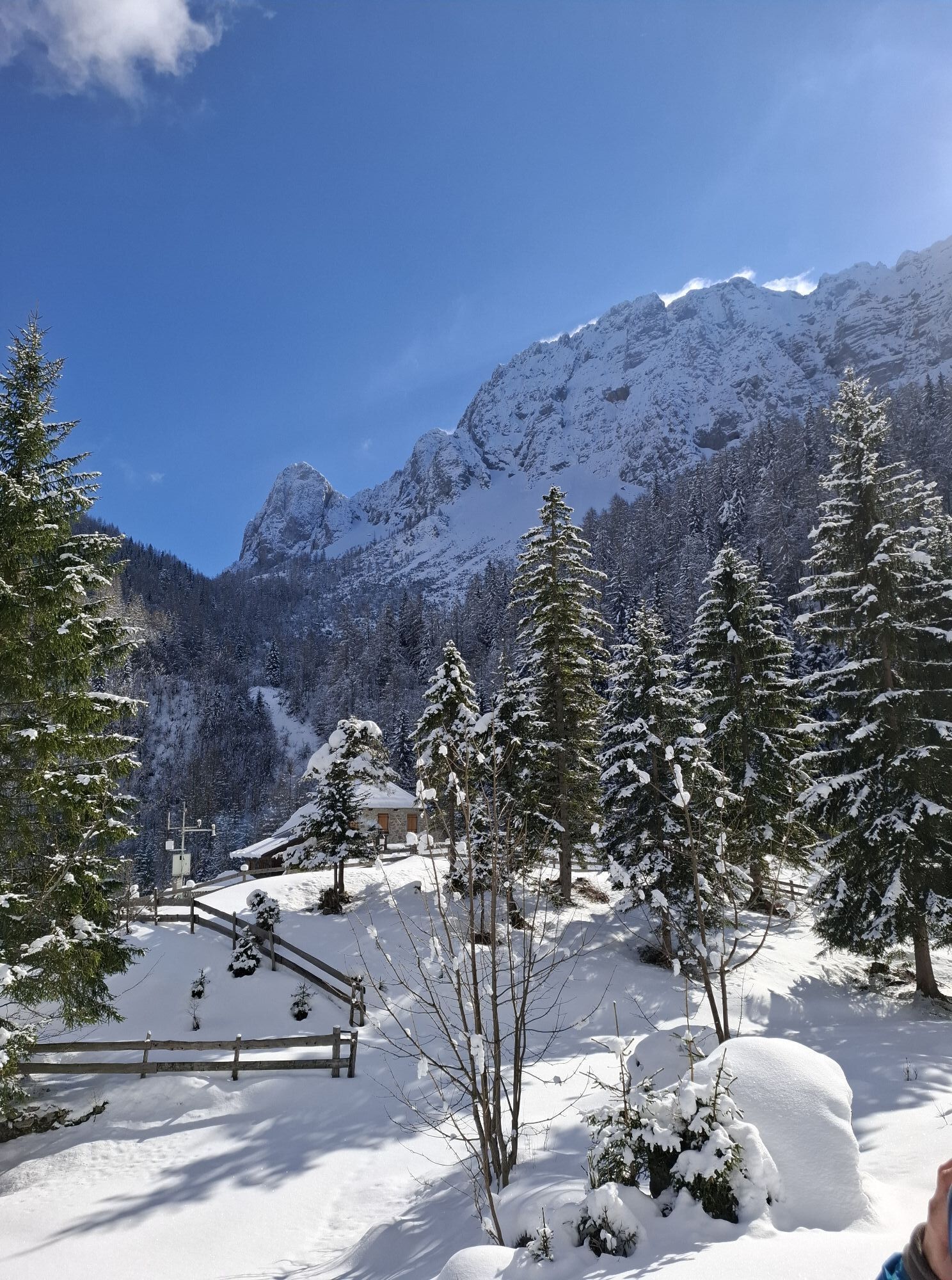
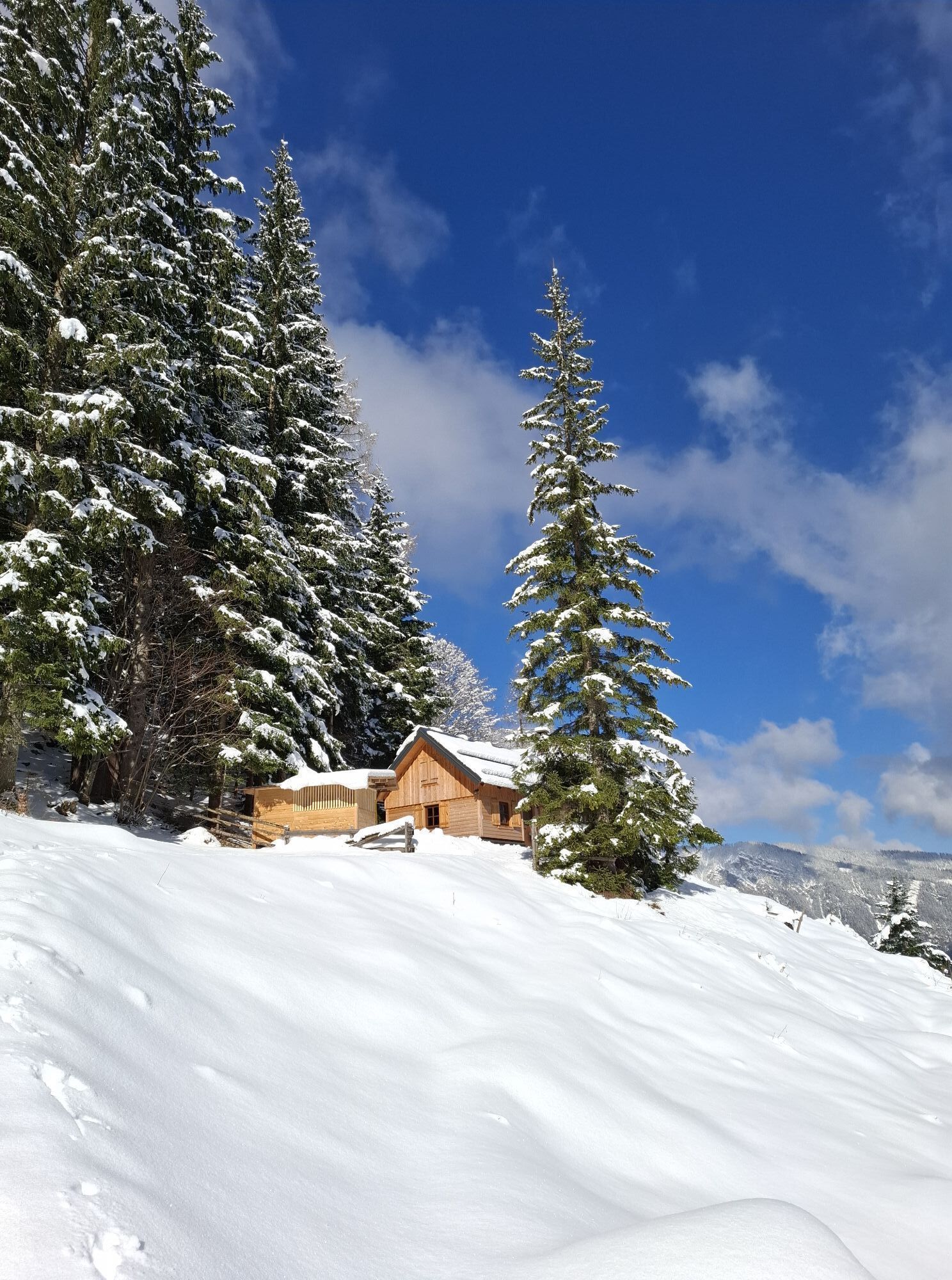
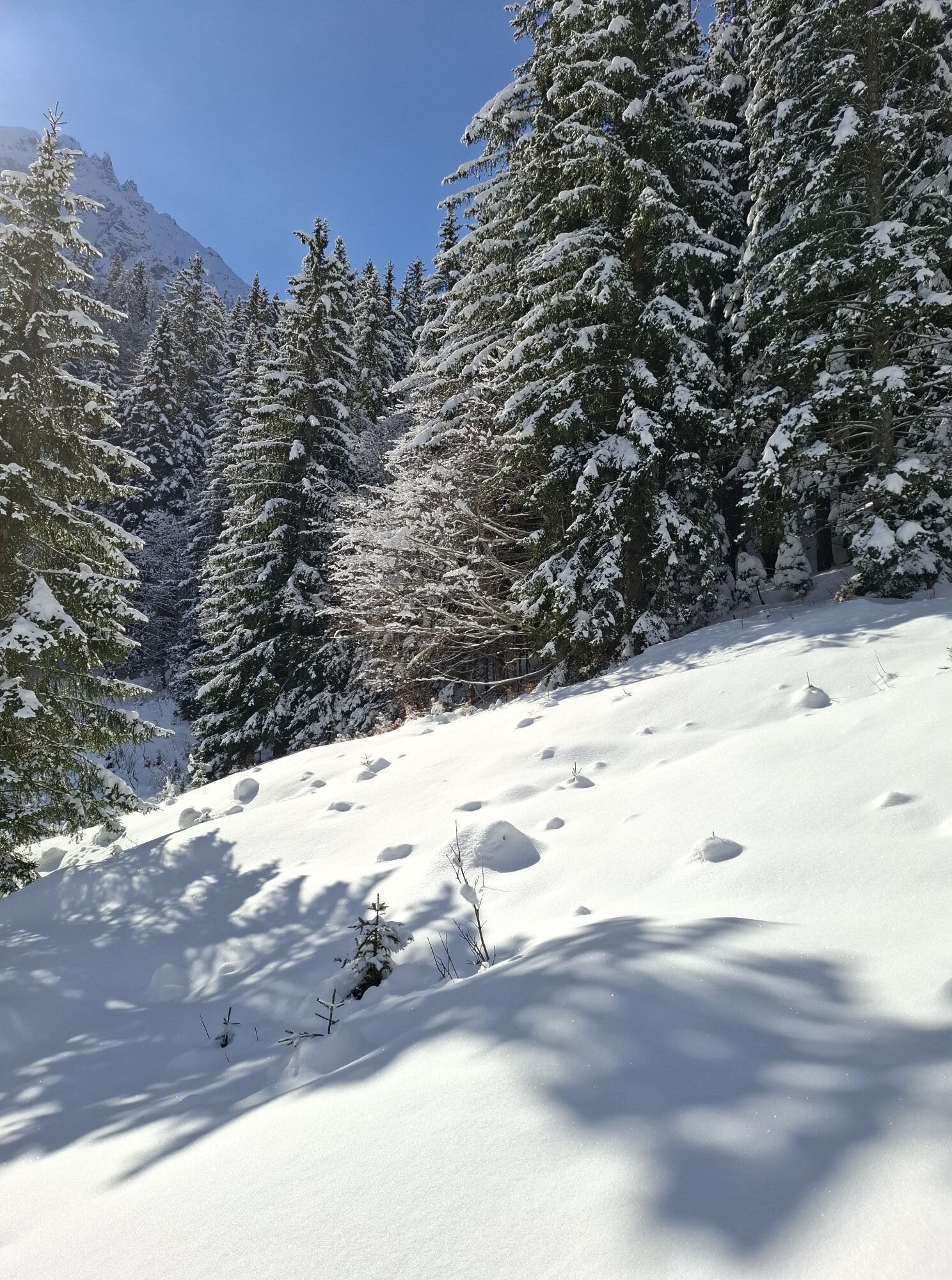
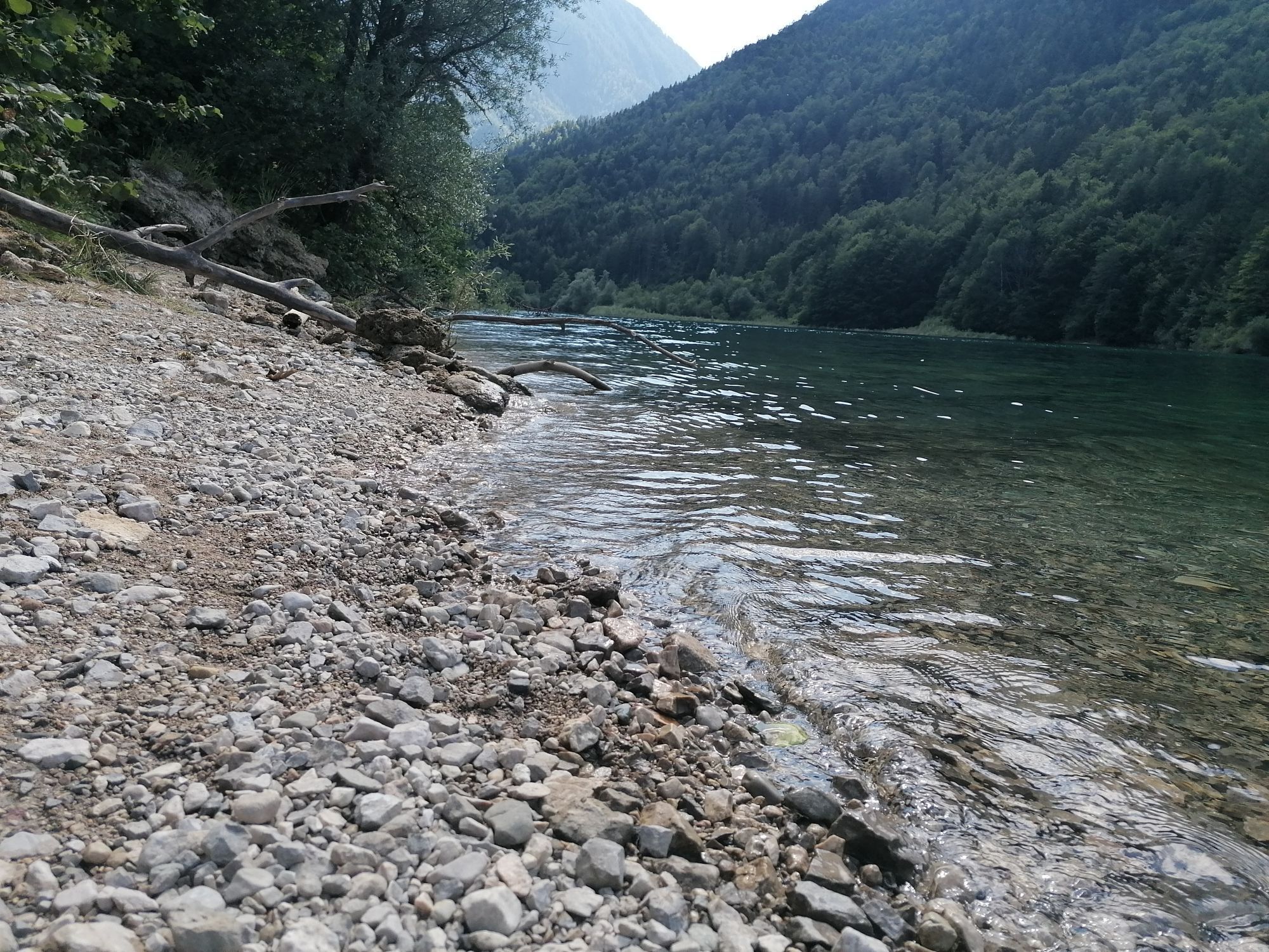
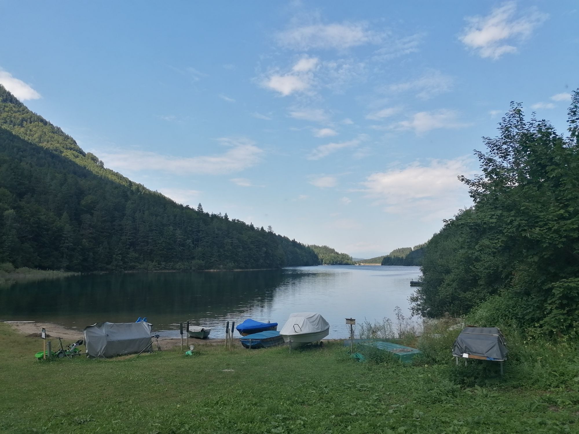
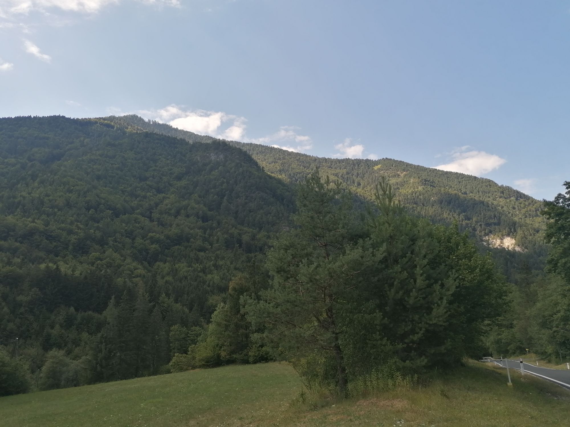
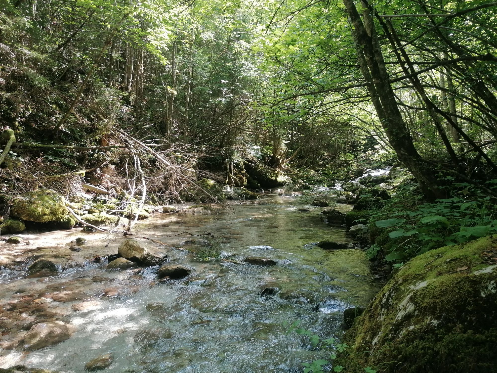
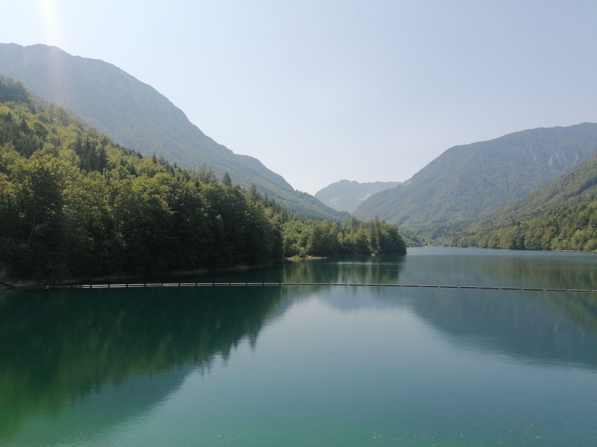
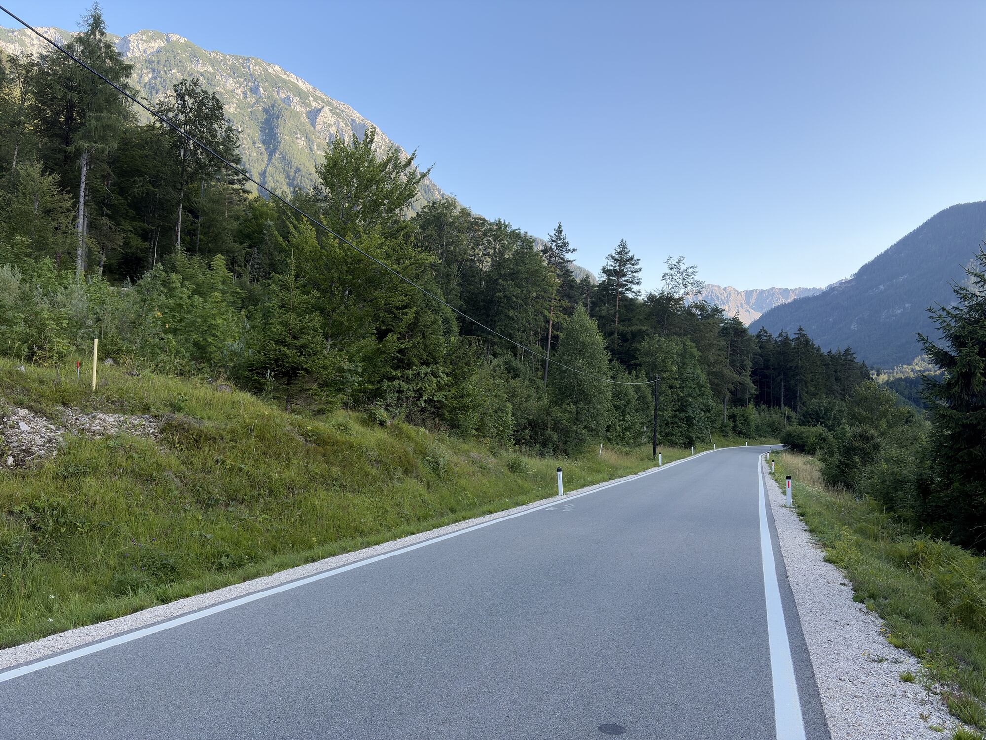
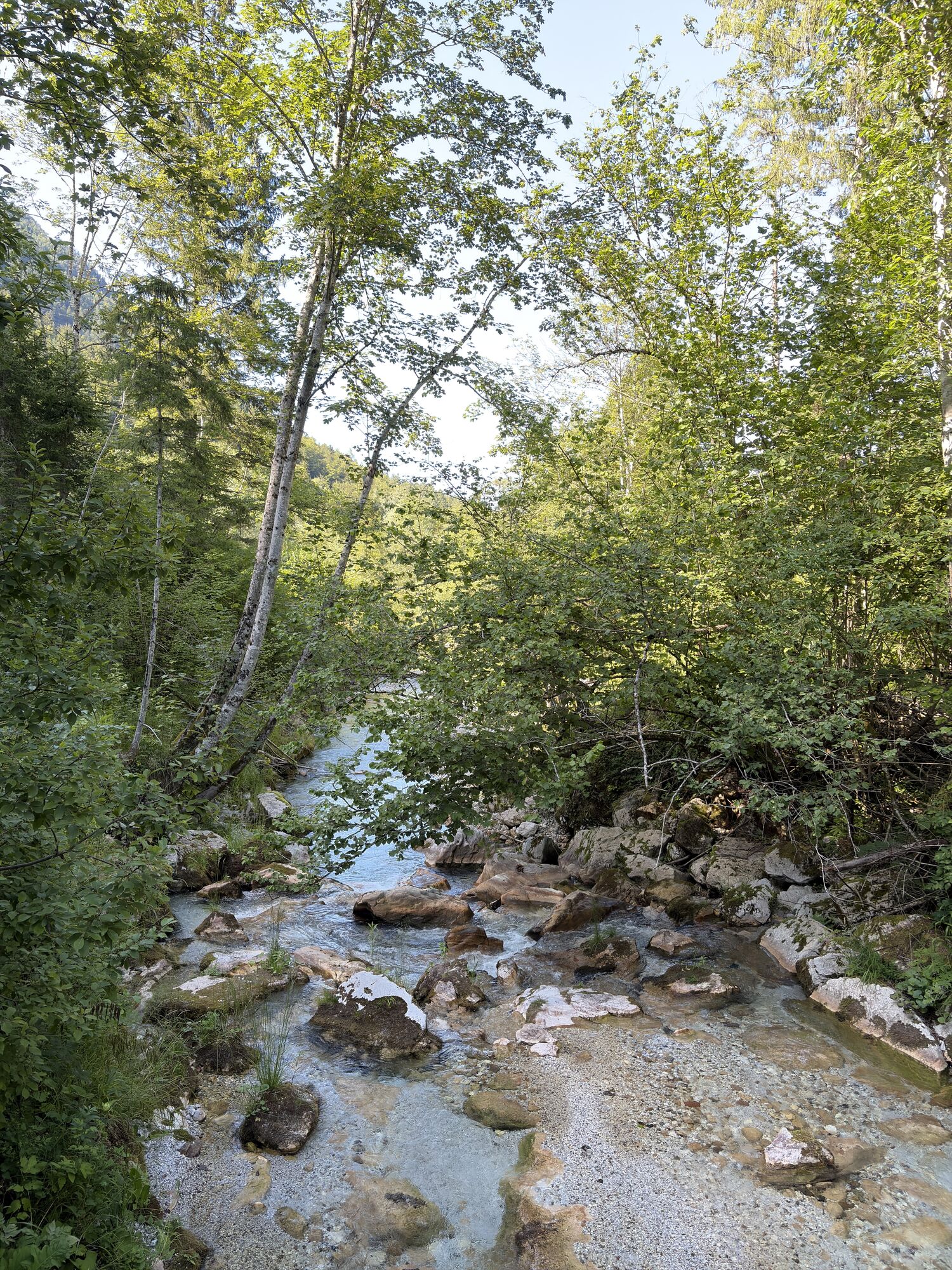
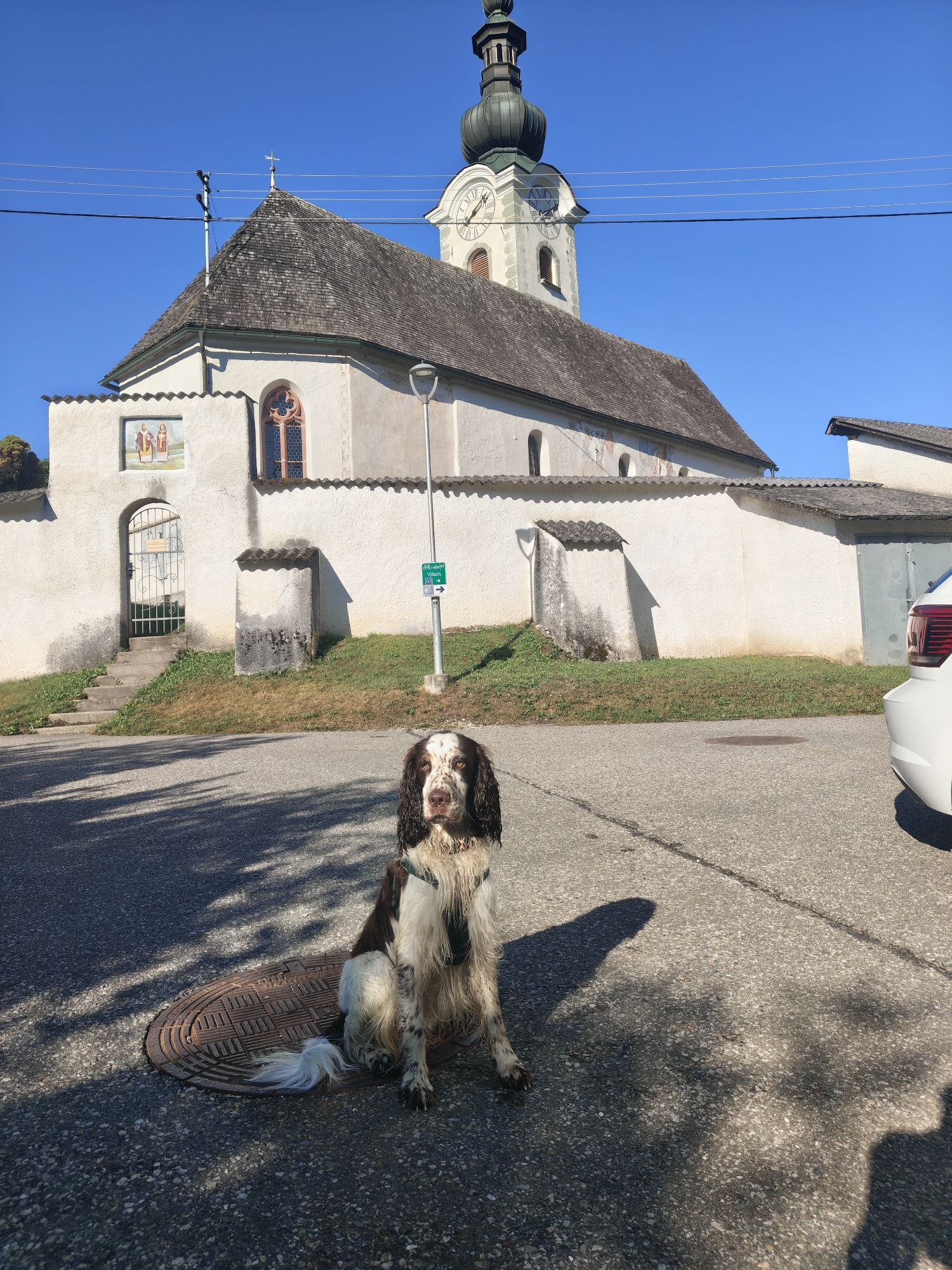
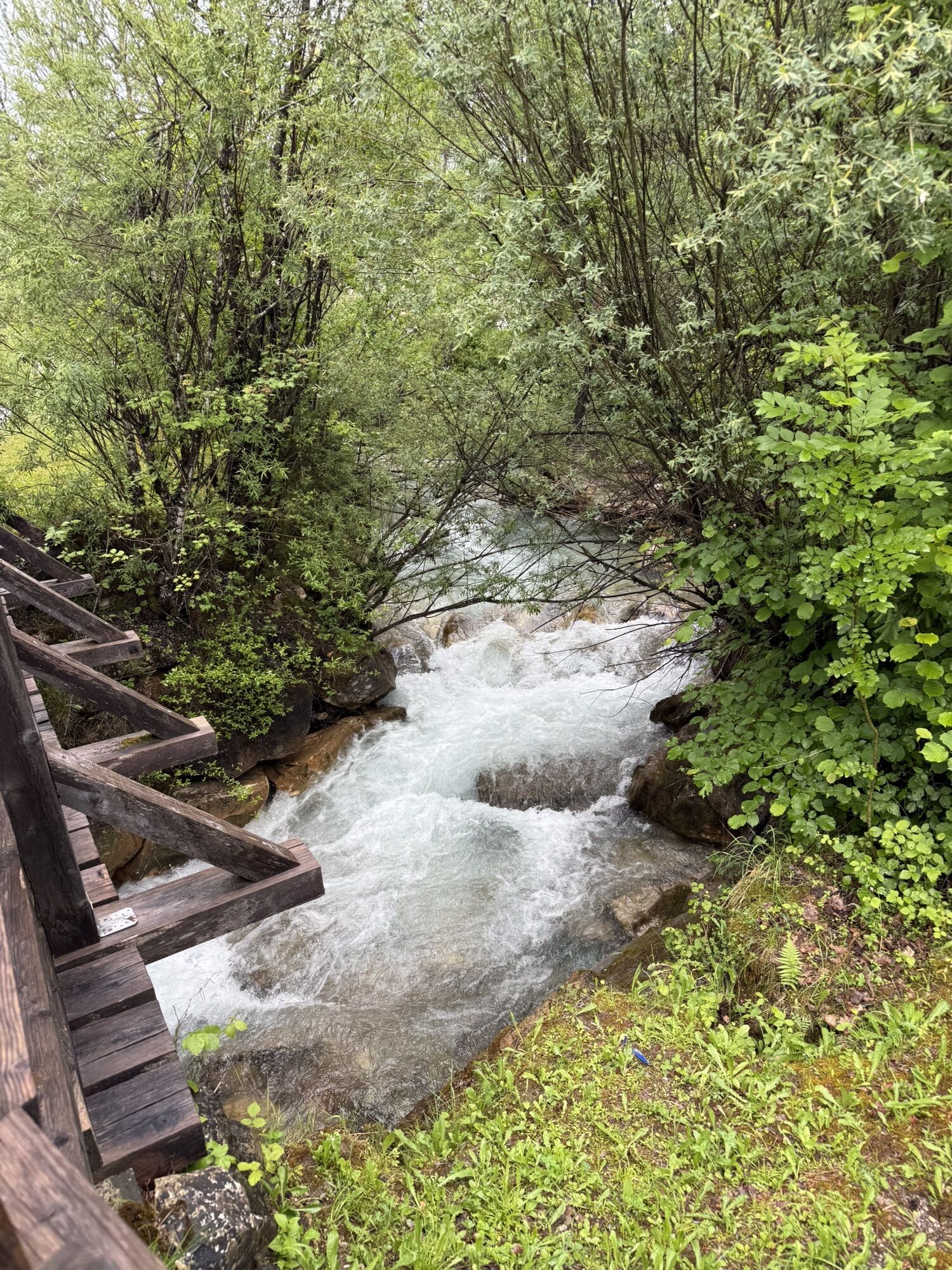
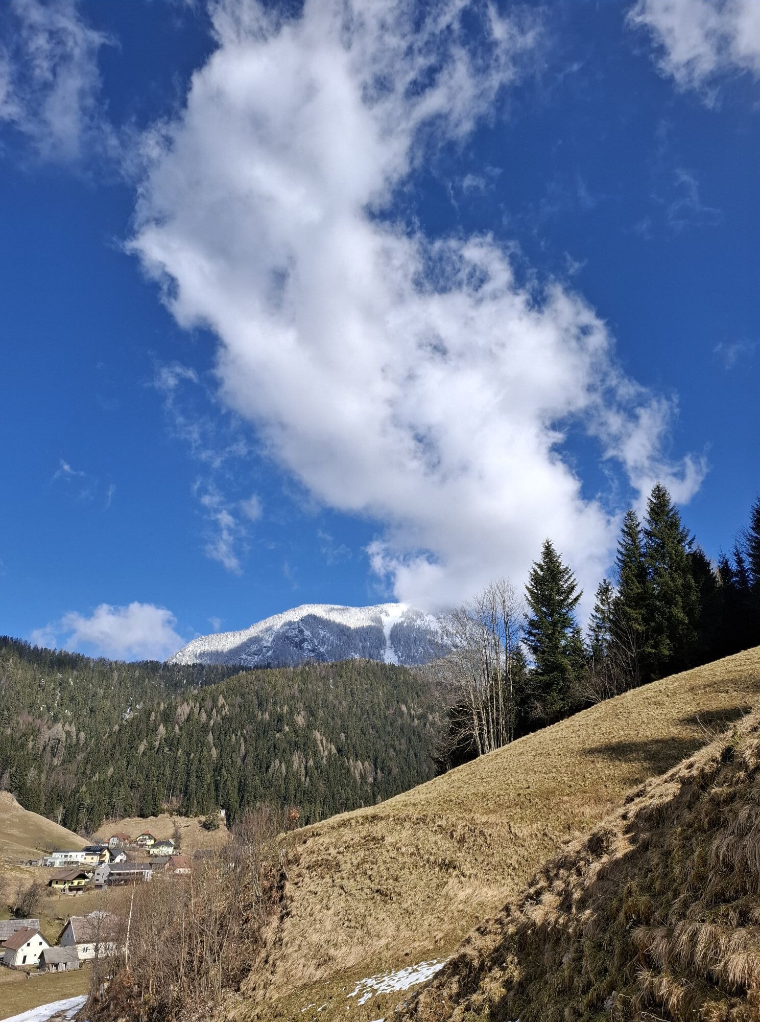

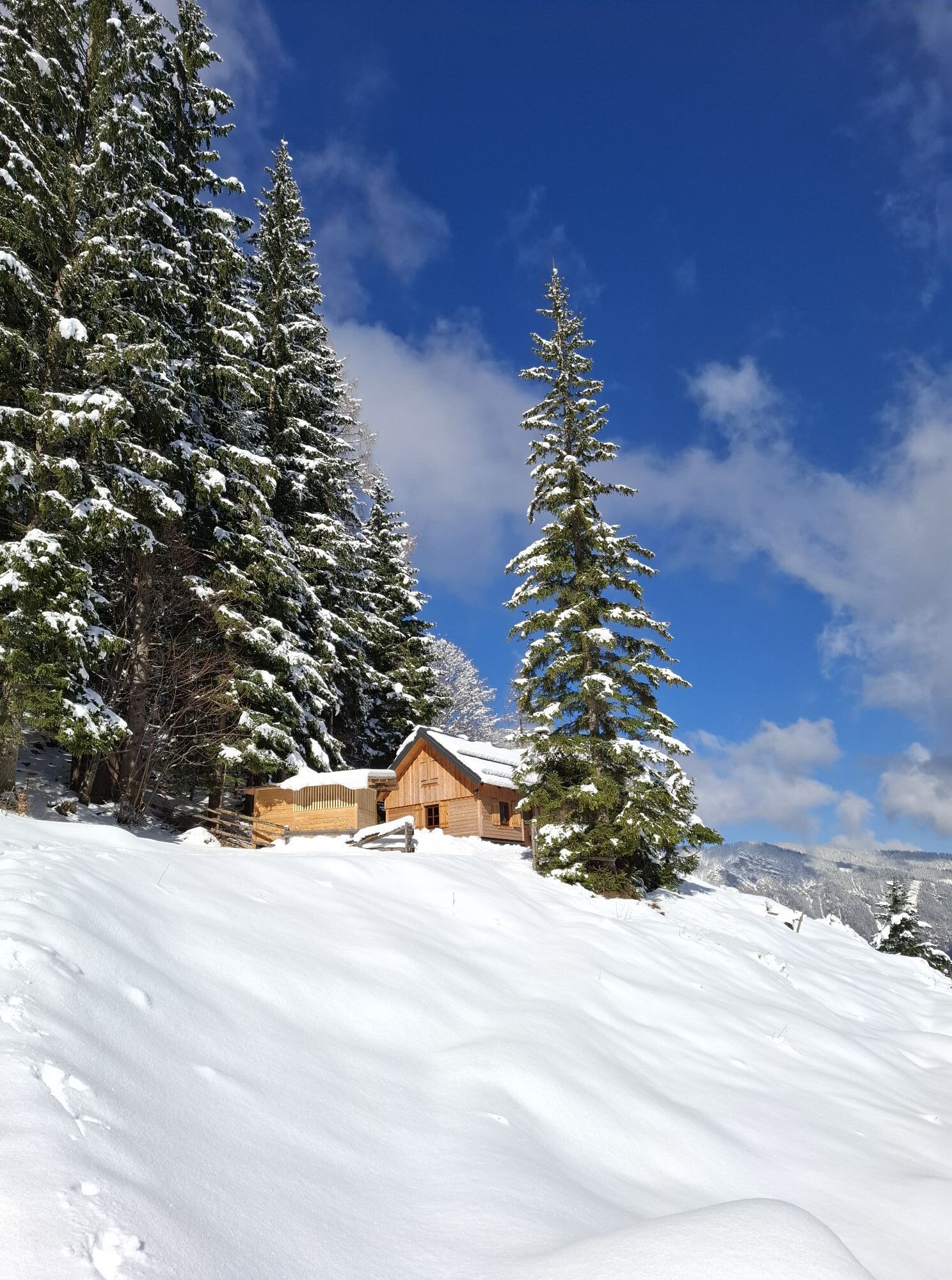
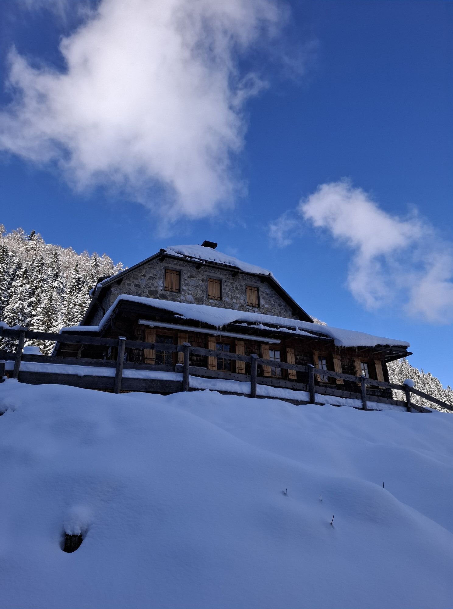

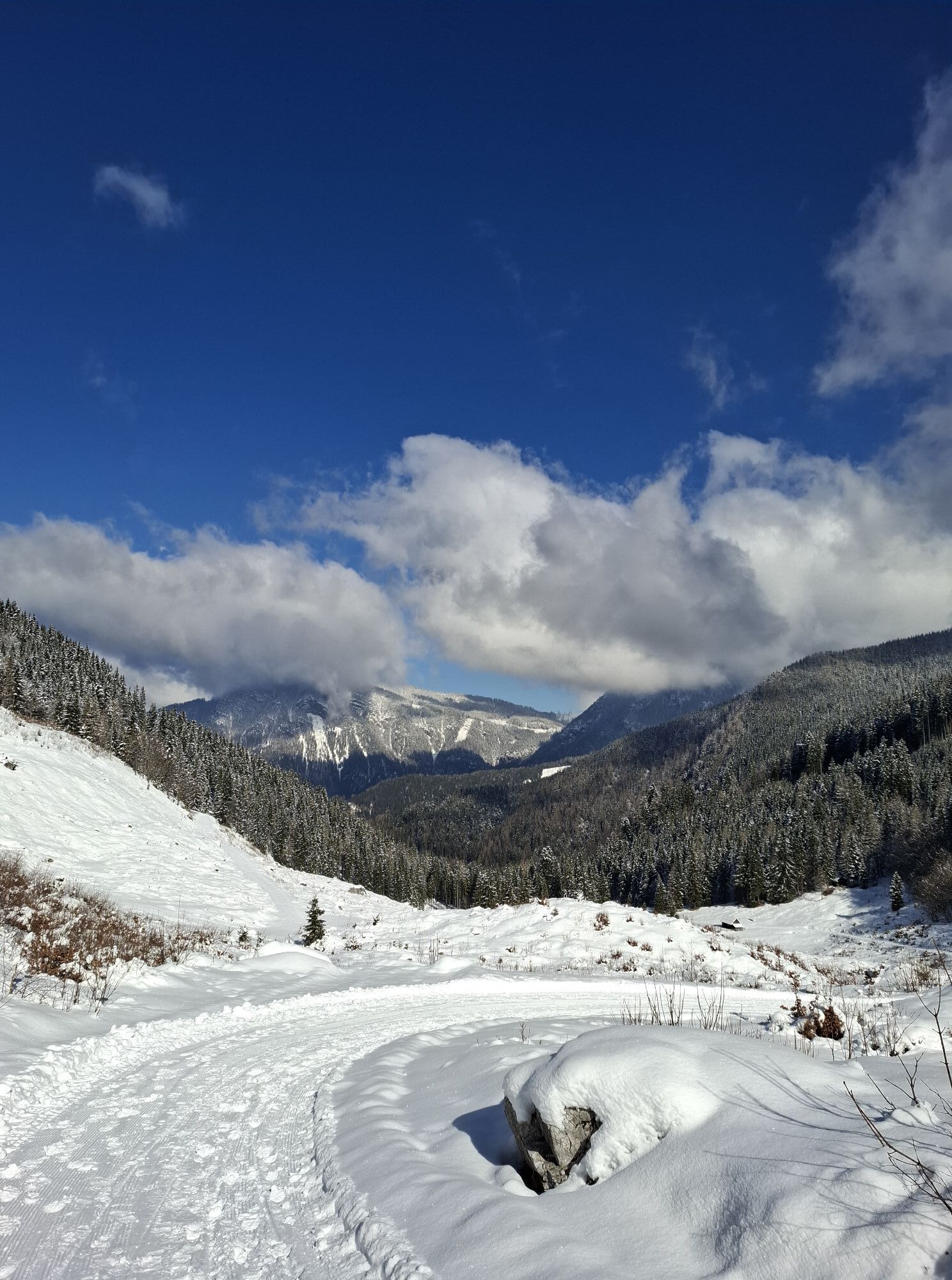
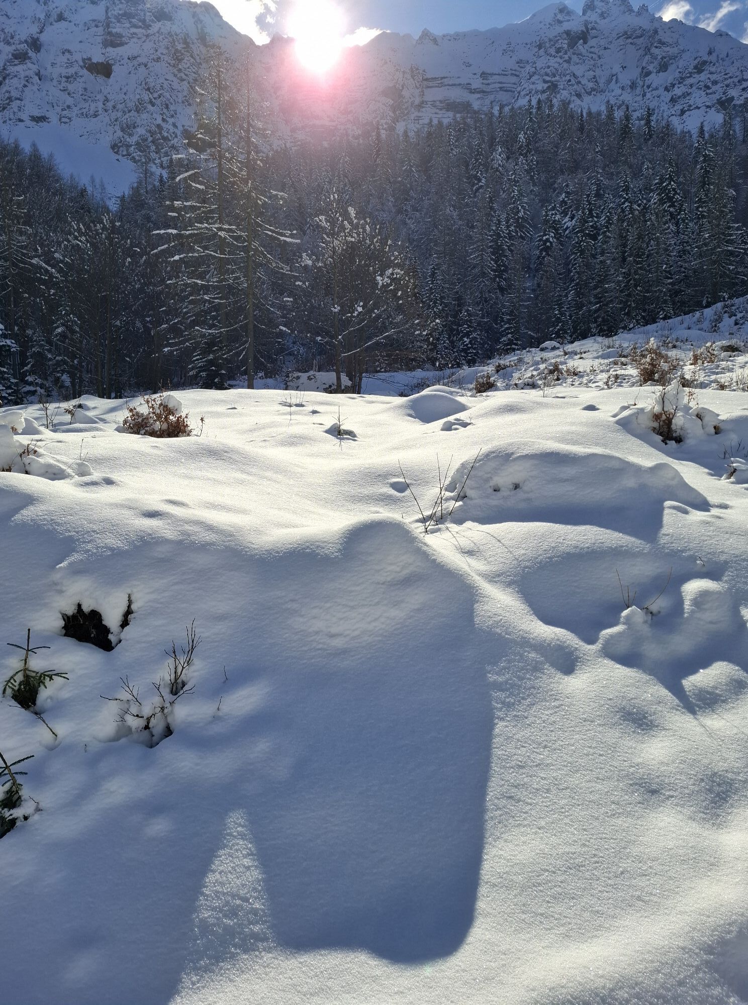
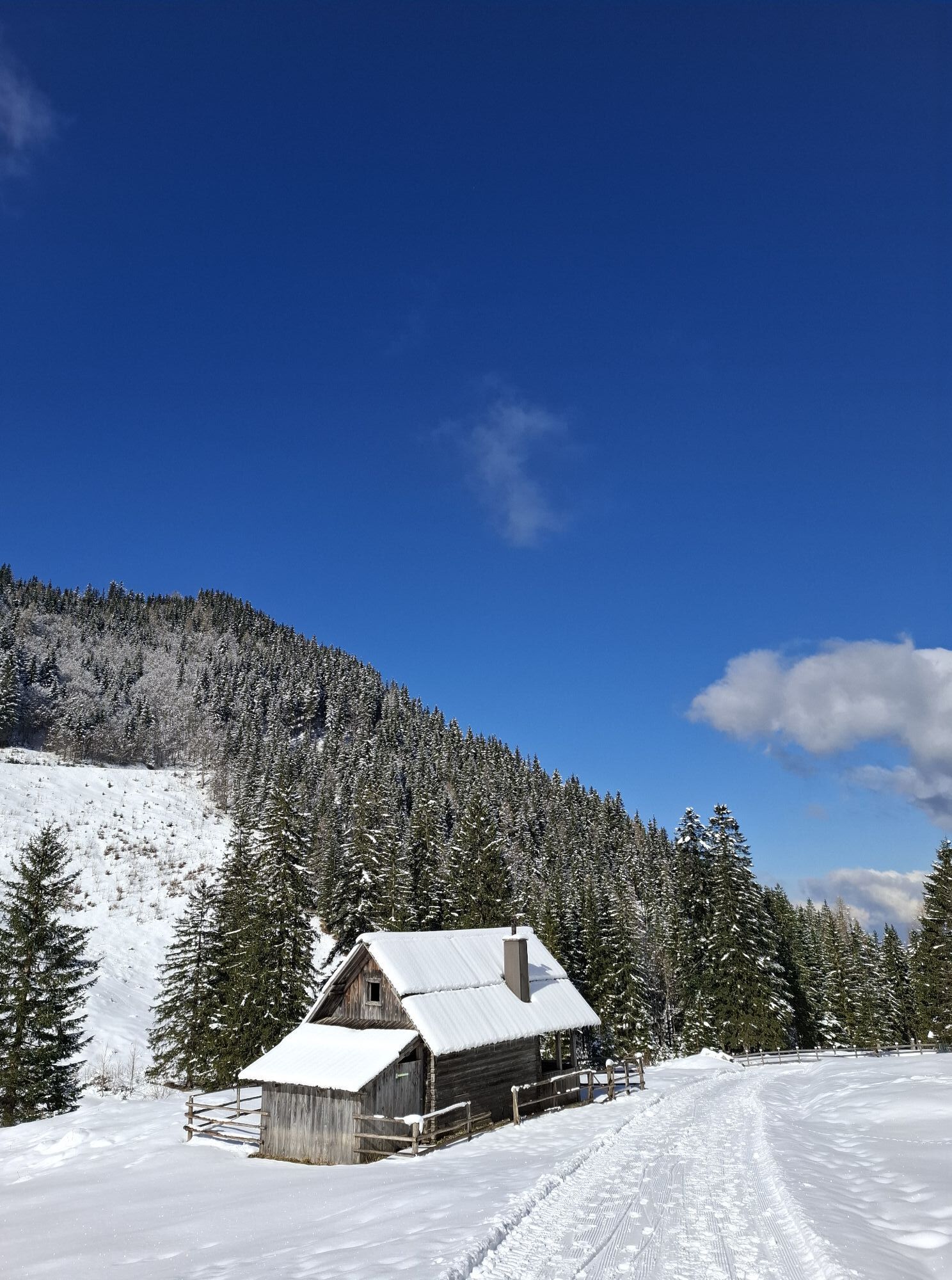
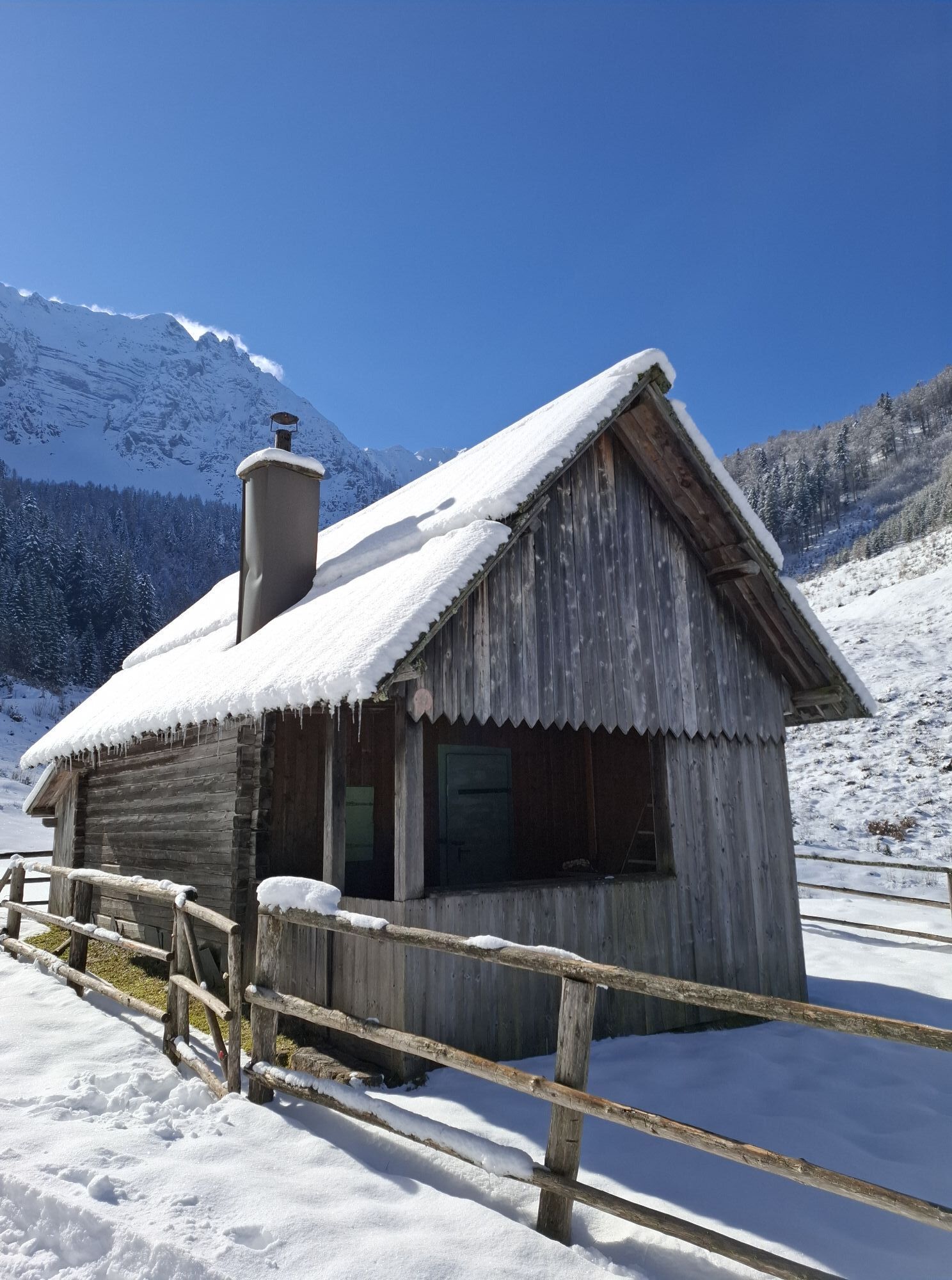
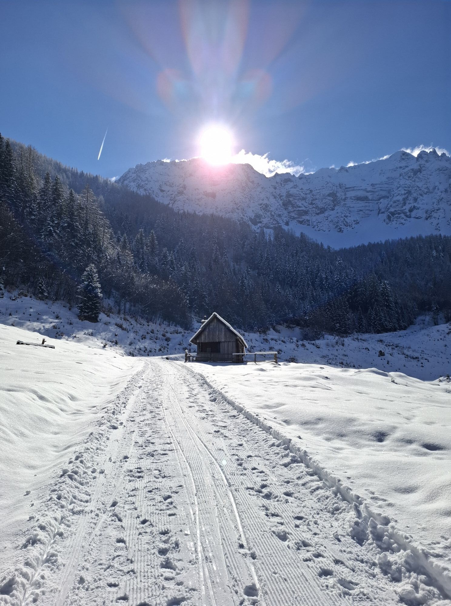
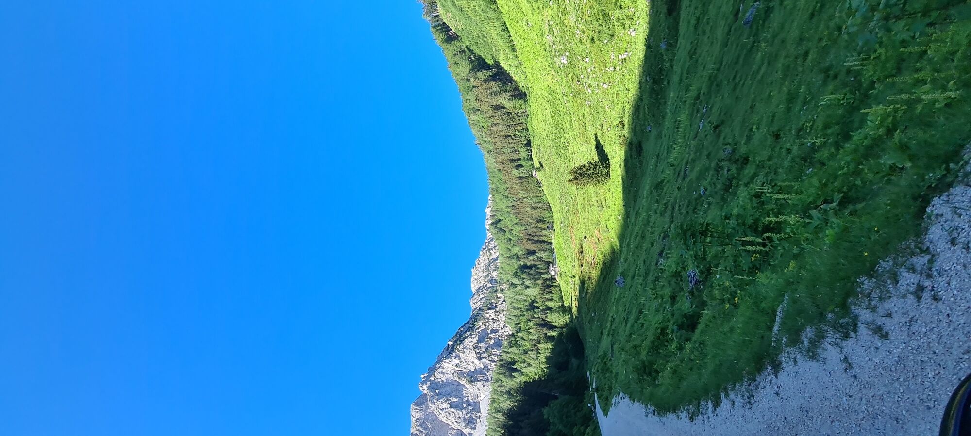
From Austria's southernmost town, the gunsmith town of Ferlach, we bike along the state road past the idyllic small Waidisch lake into the high valley of the mountaineer village Zell/Sele. With enough...
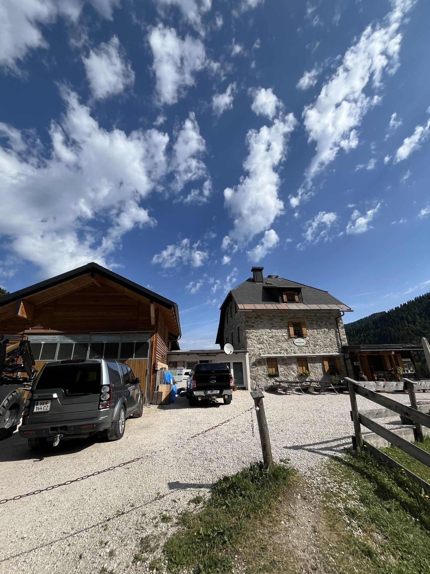
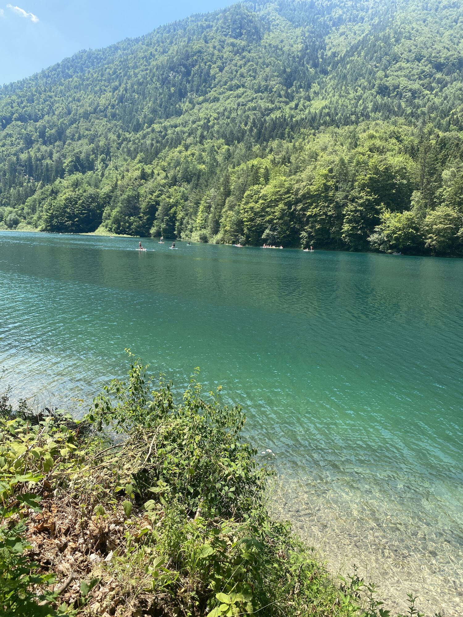
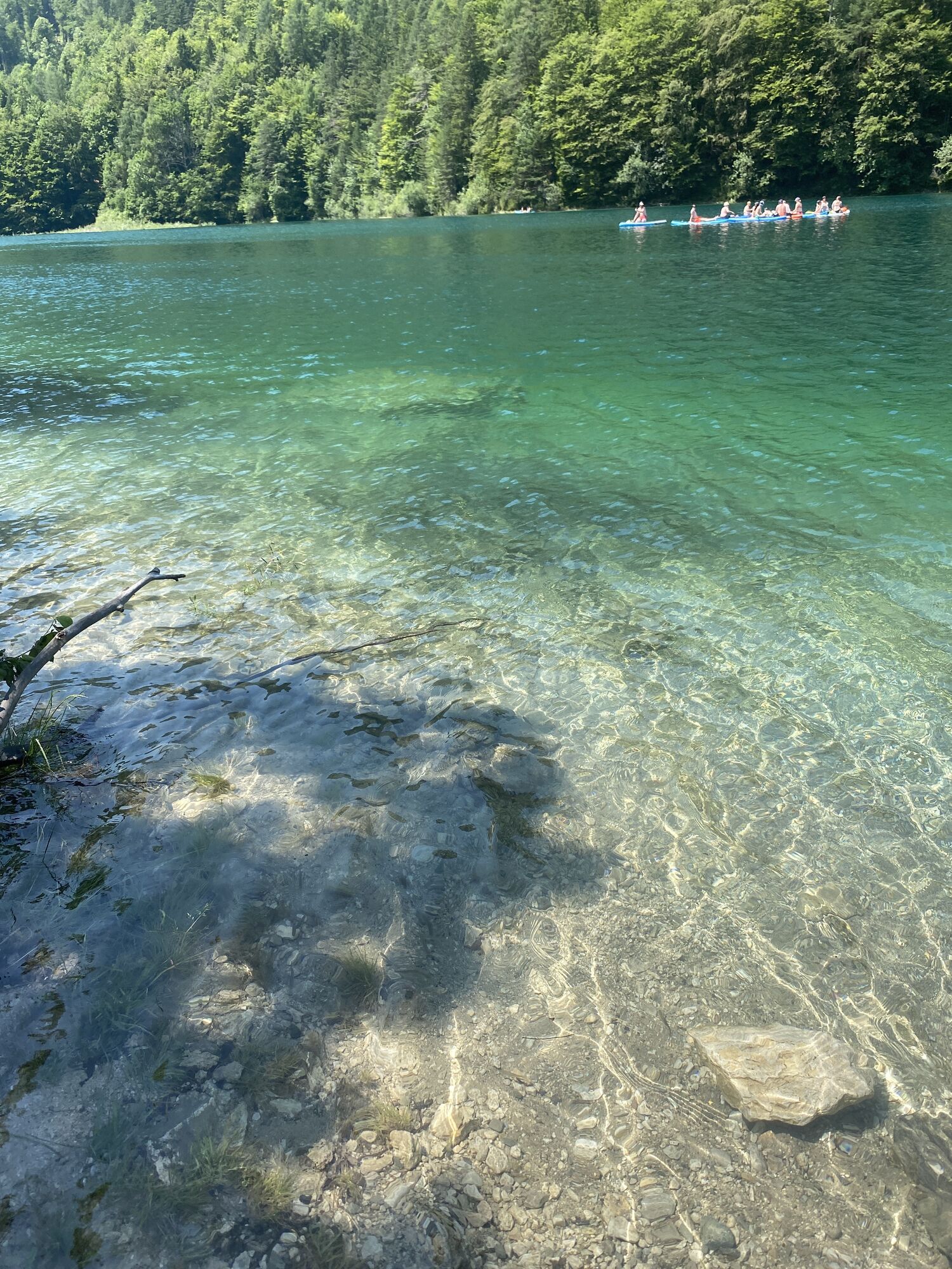
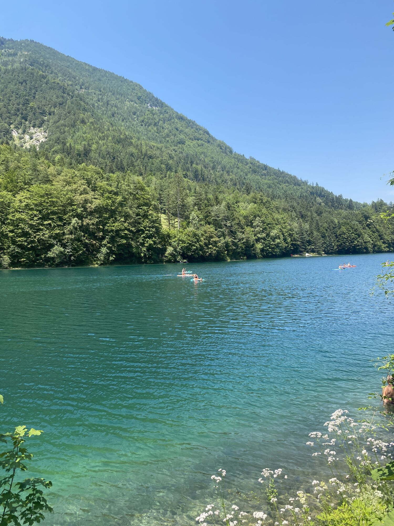
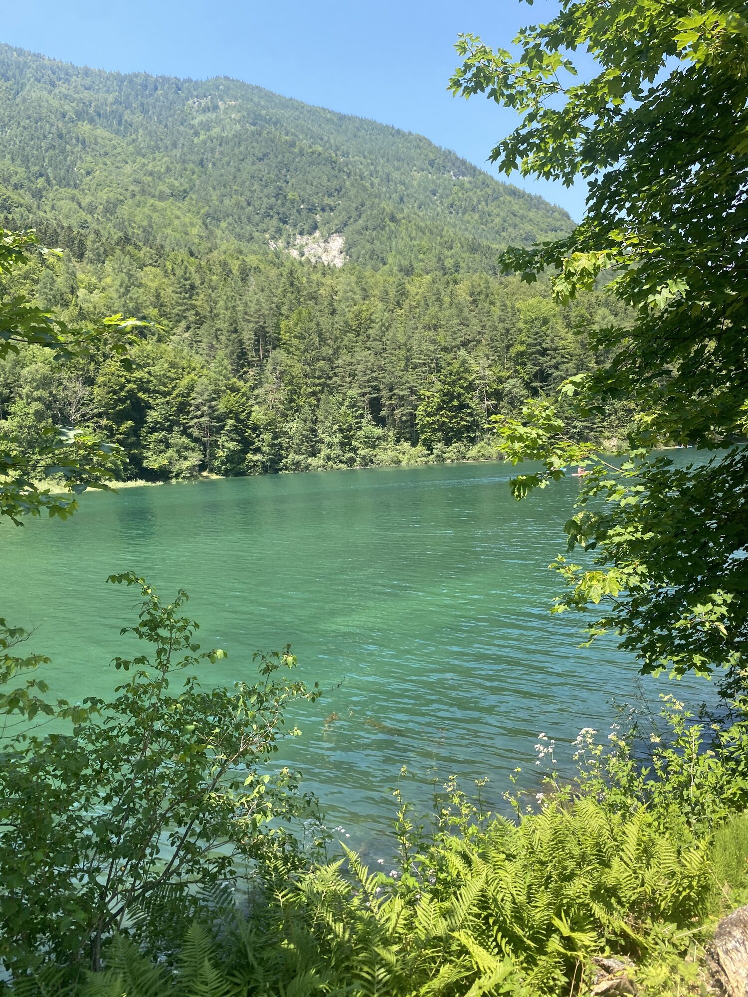
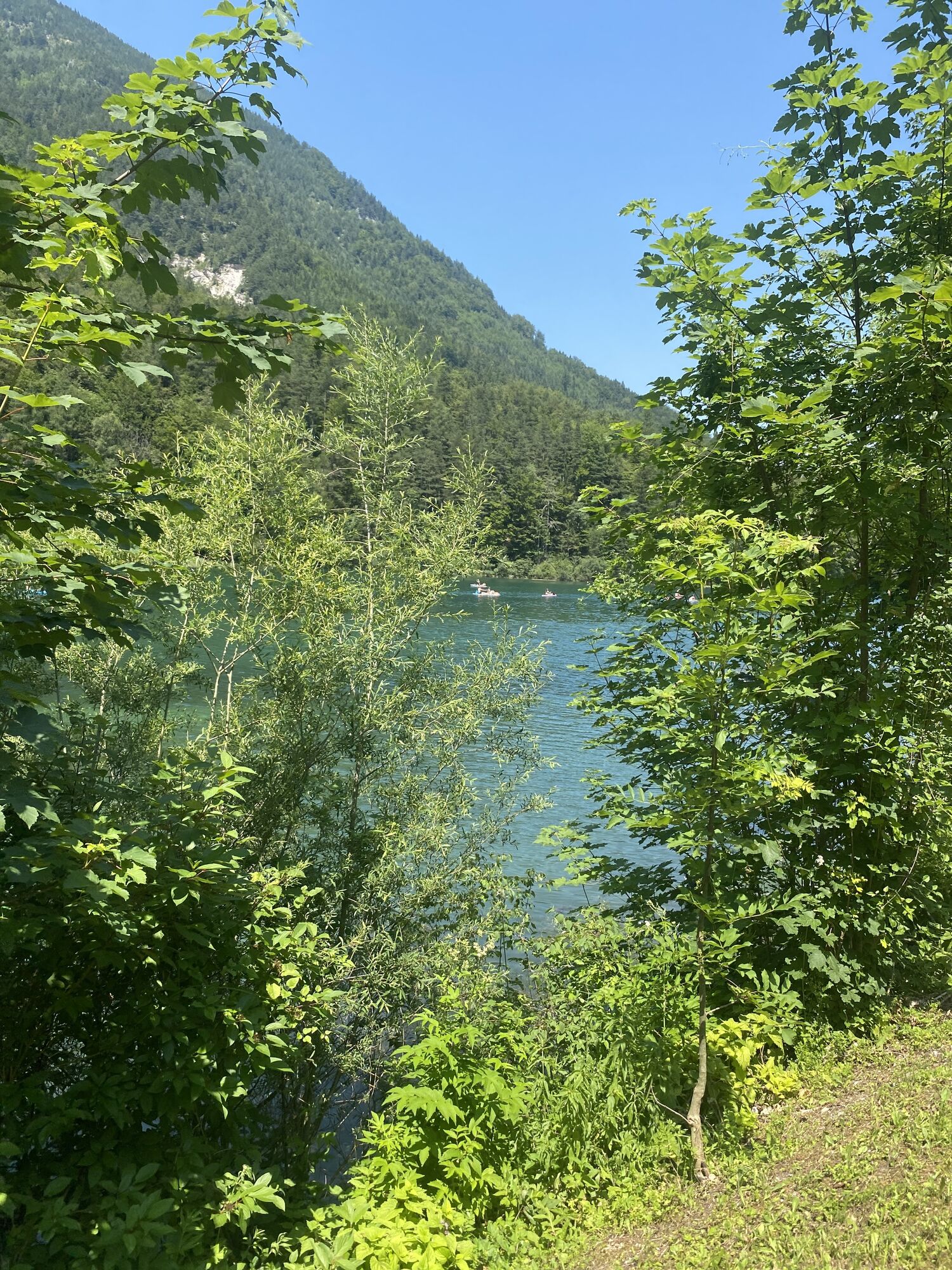
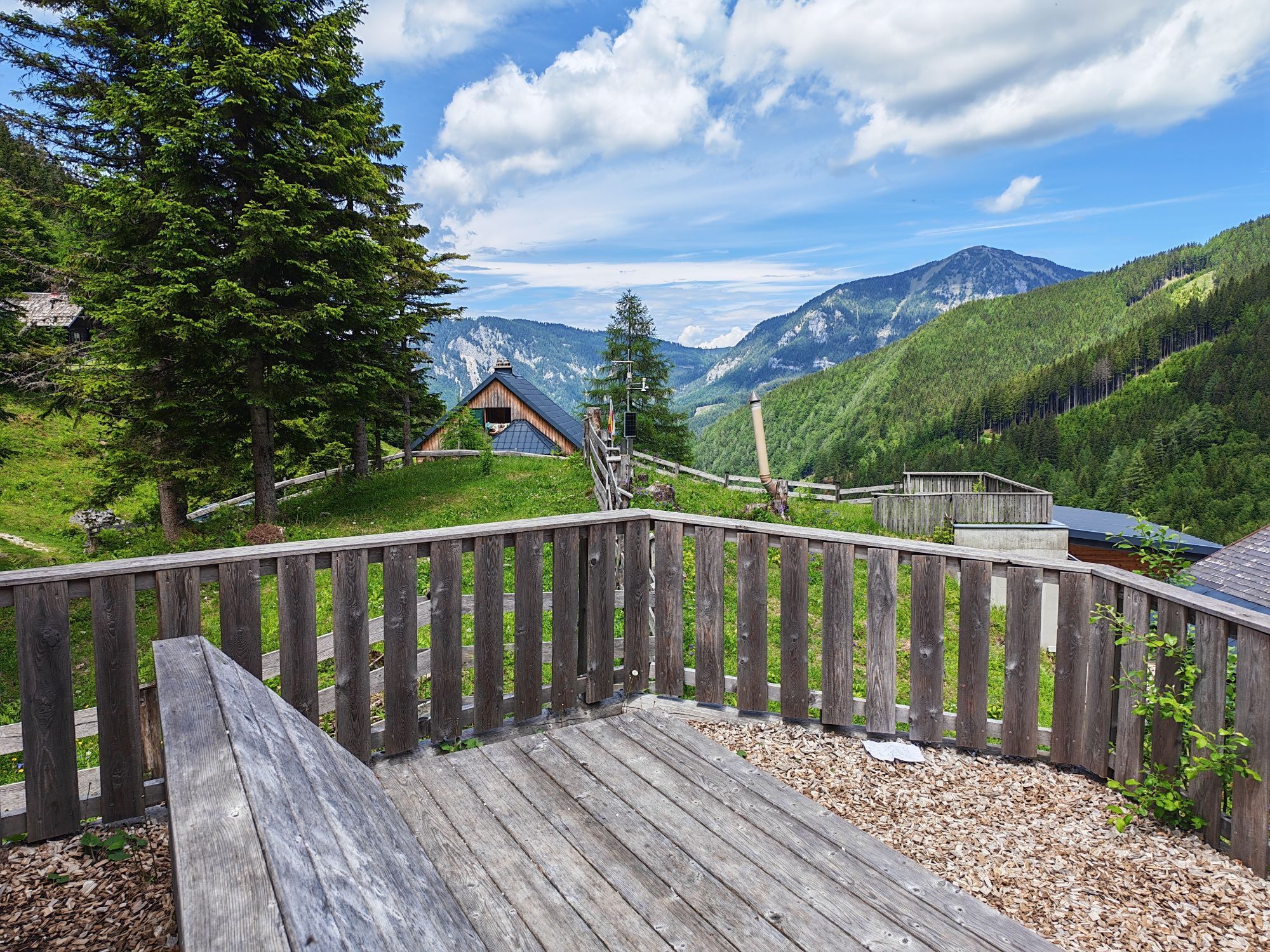
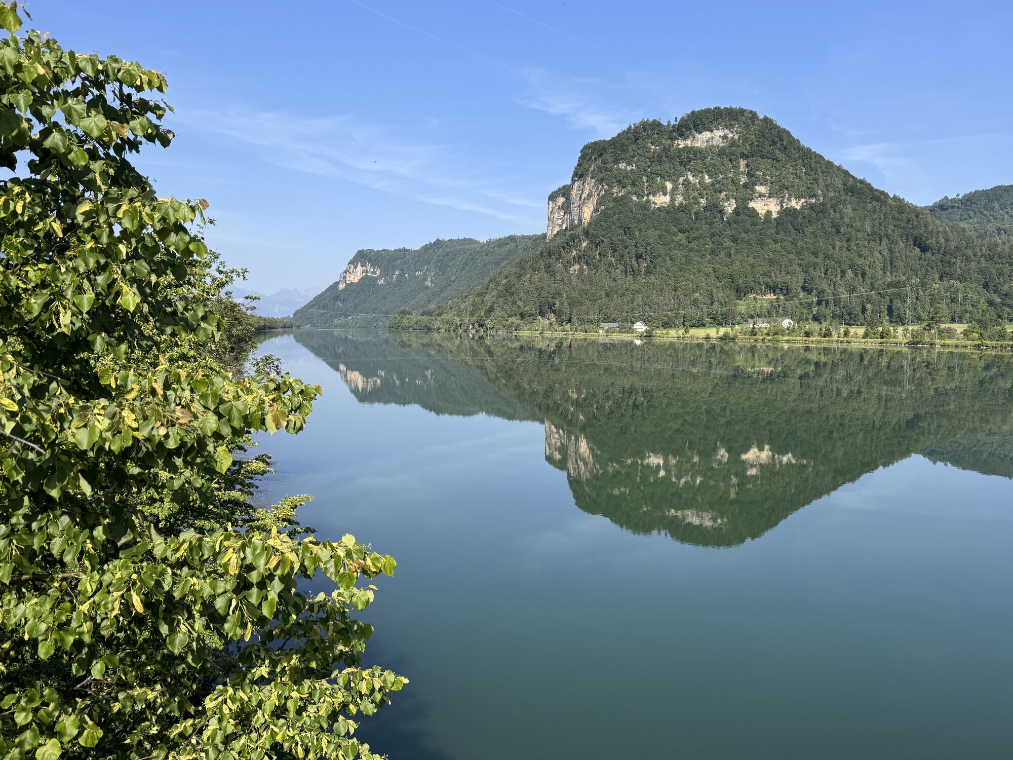
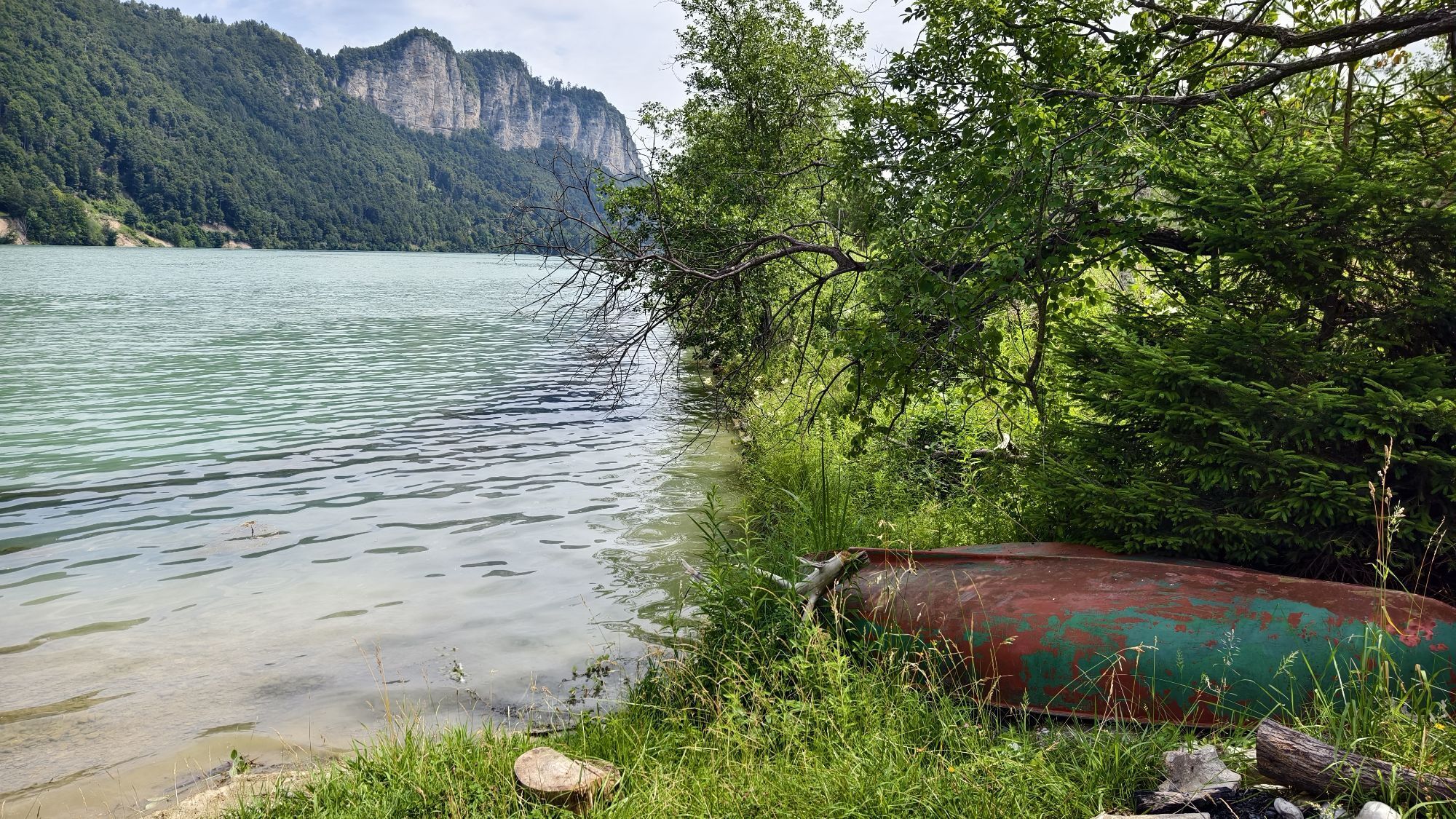
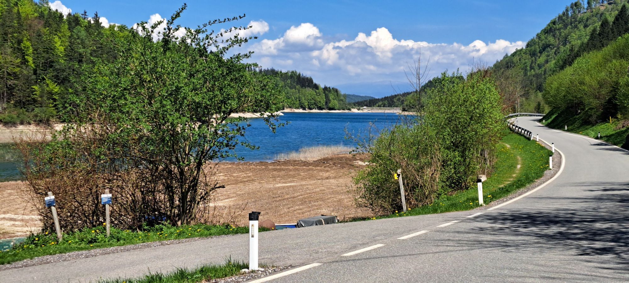
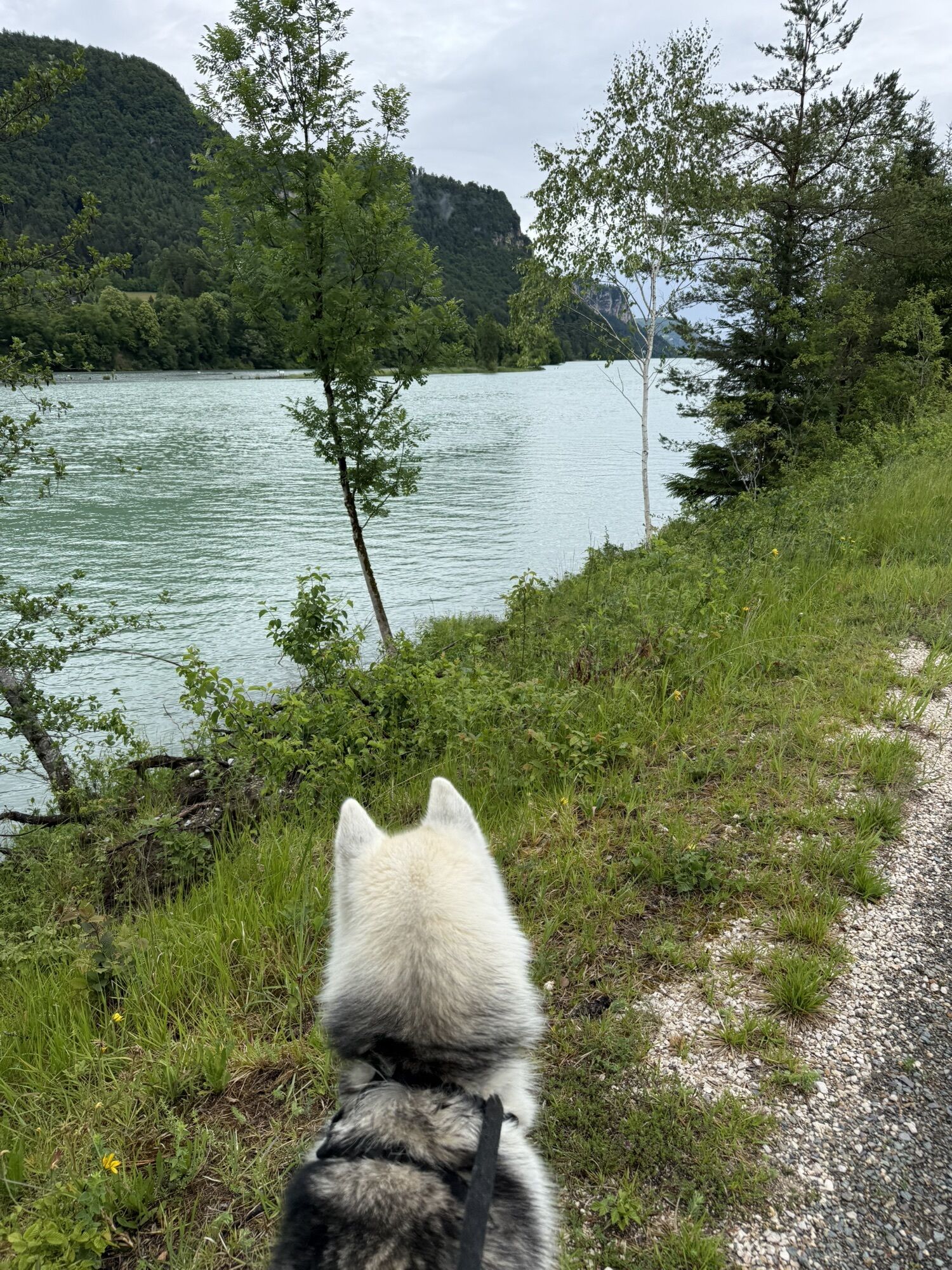
From Austria's southernmost town, the gunsmith town of Ferlach, we bike along the state road past the idyllic small Waidisch lake into the high valley of the mountaineer village Zell/Sele. With enough reserves—either in your legs or in the battery—we climb the Koschutahaus, the highest point on this route. Be careful going down the unpaved toll road. Via Zell-Freibach the route continues along the turquoise-blue Freibacher reservoir into the cooperage community of St. Margareten i.R. Here we meet the 5*-rated Drava cycle path and follow it upstream back to our starting point.
Tip: Pack swimwear for a cool down in the Freibacher reservoir!
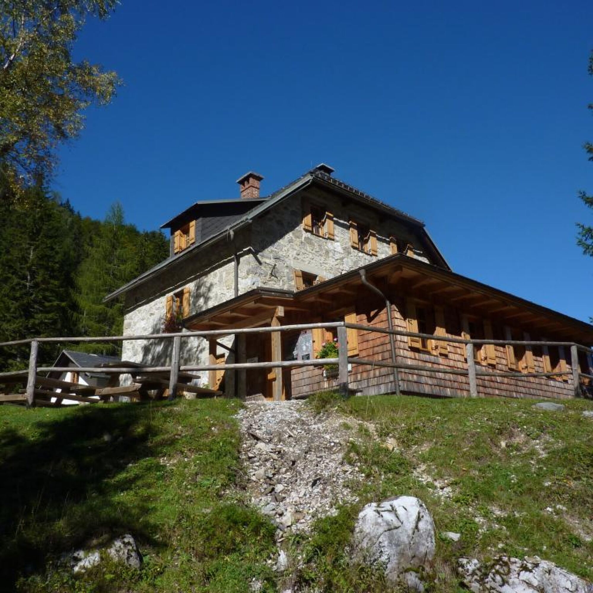
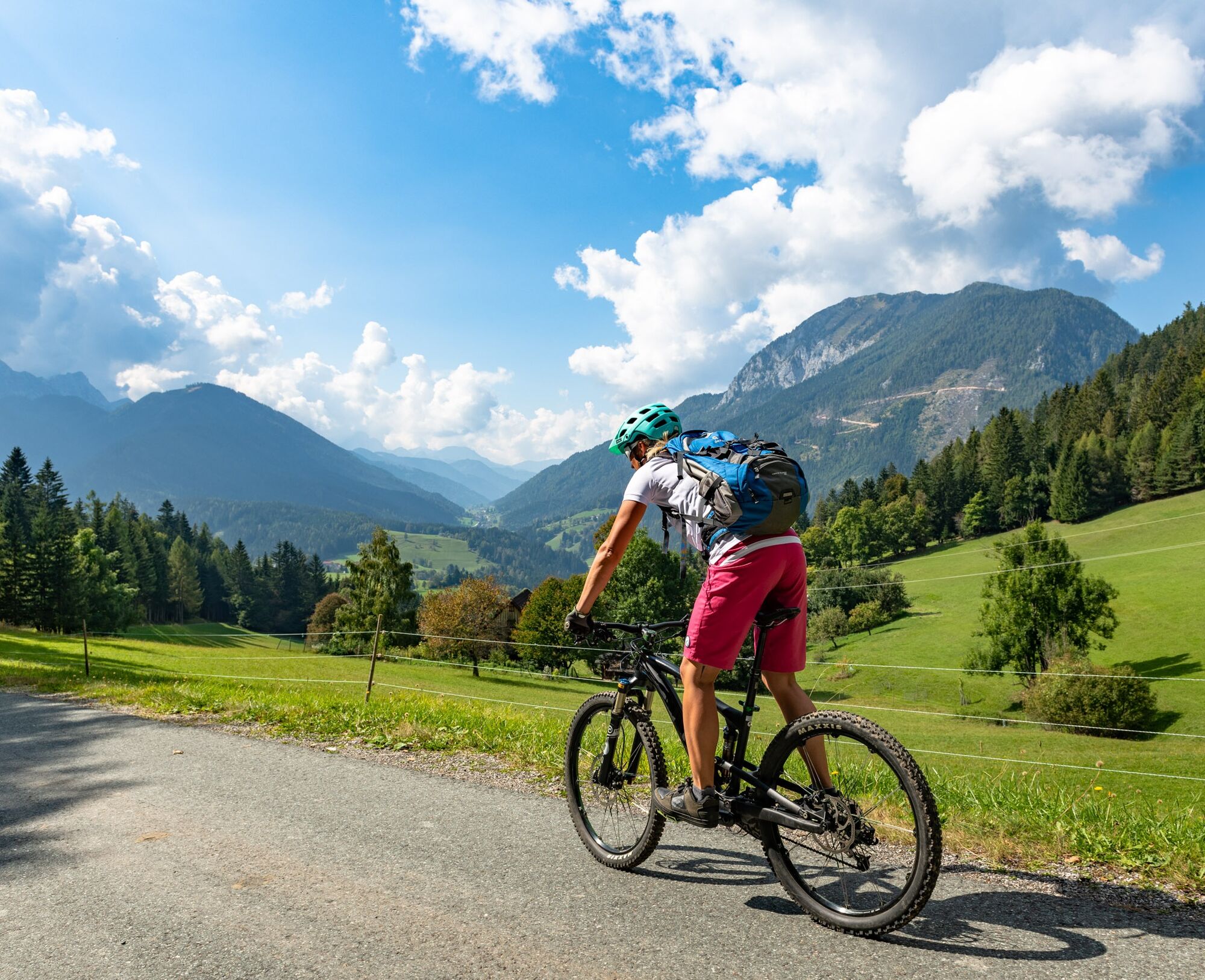
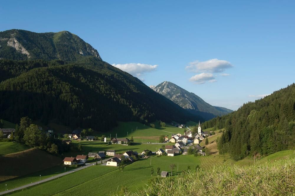
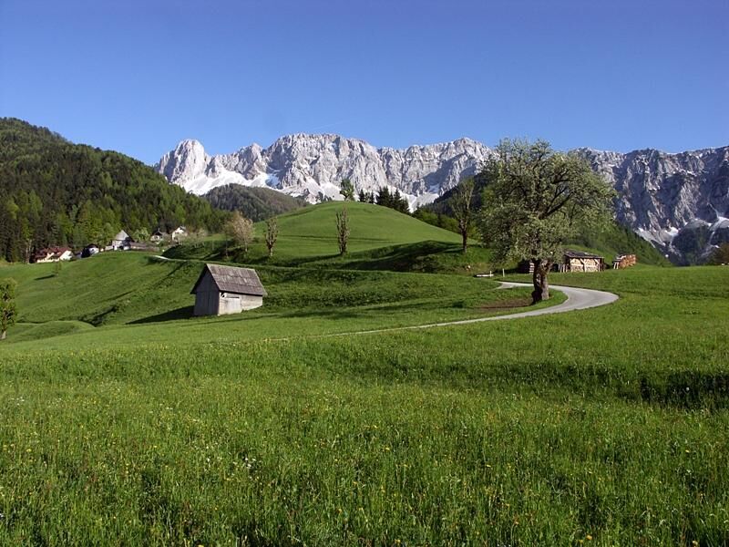
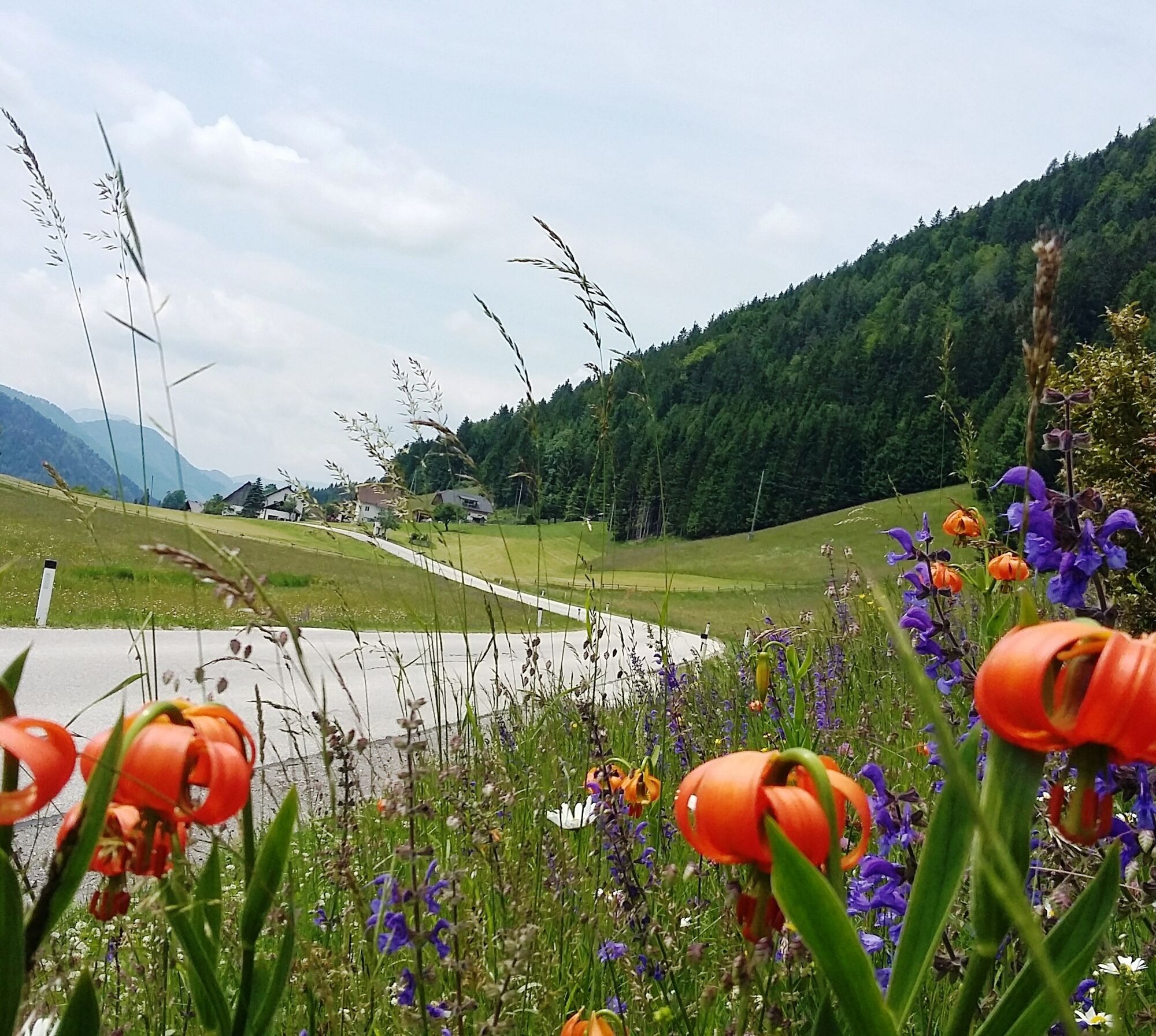
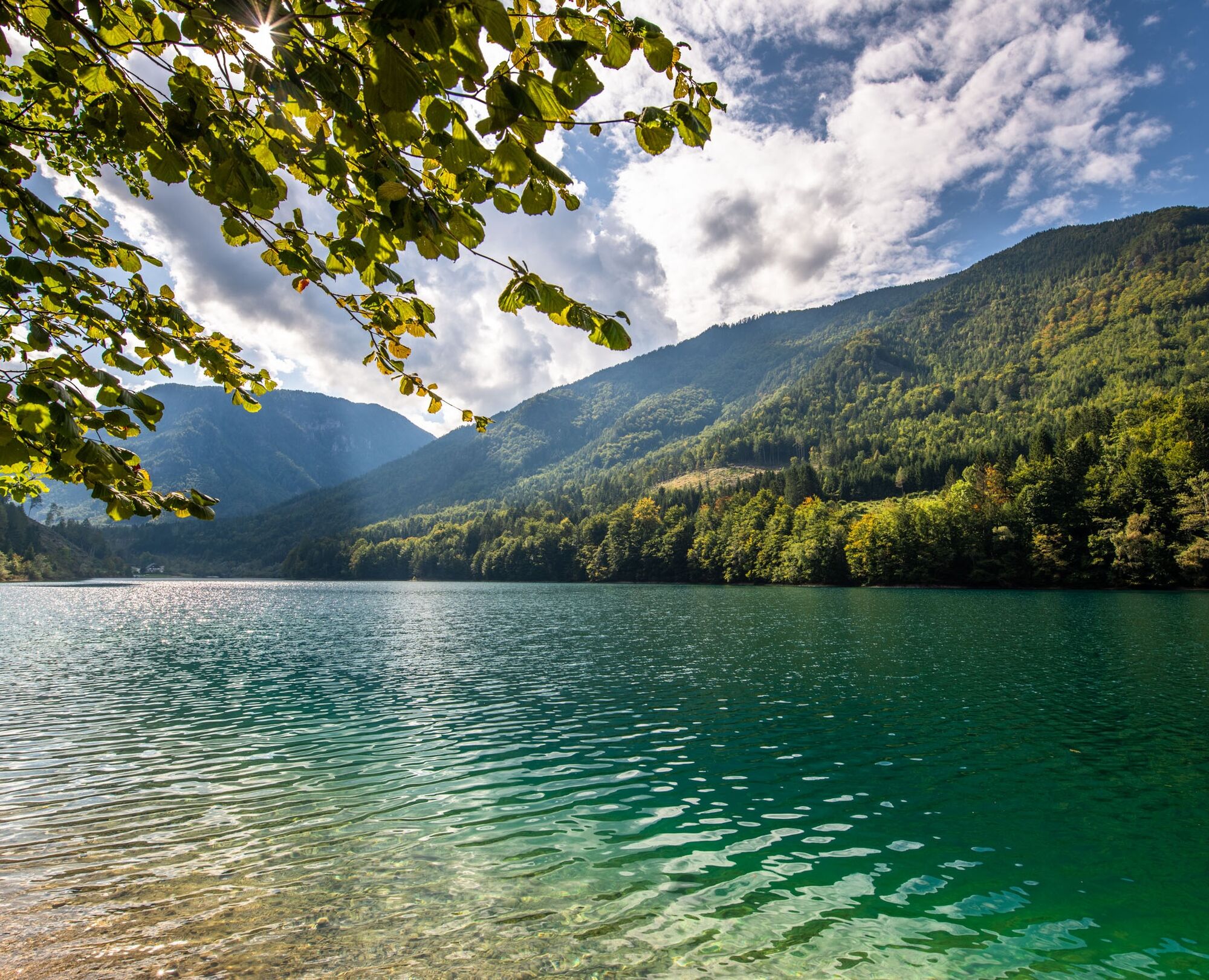
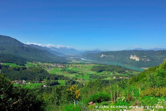
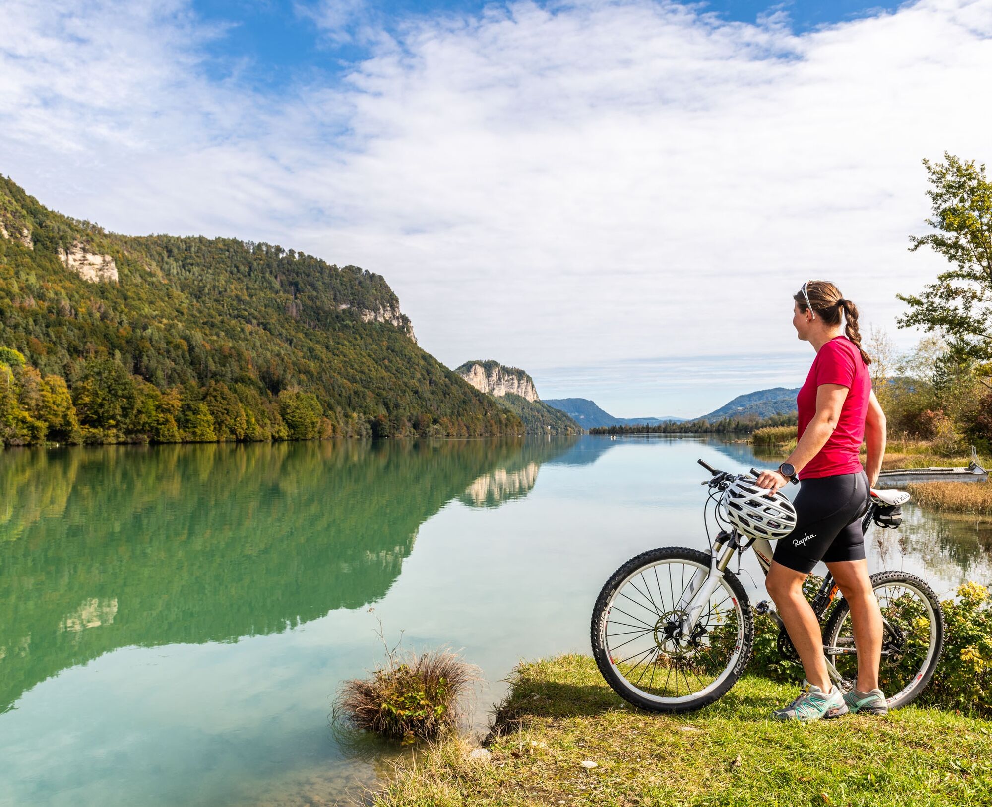

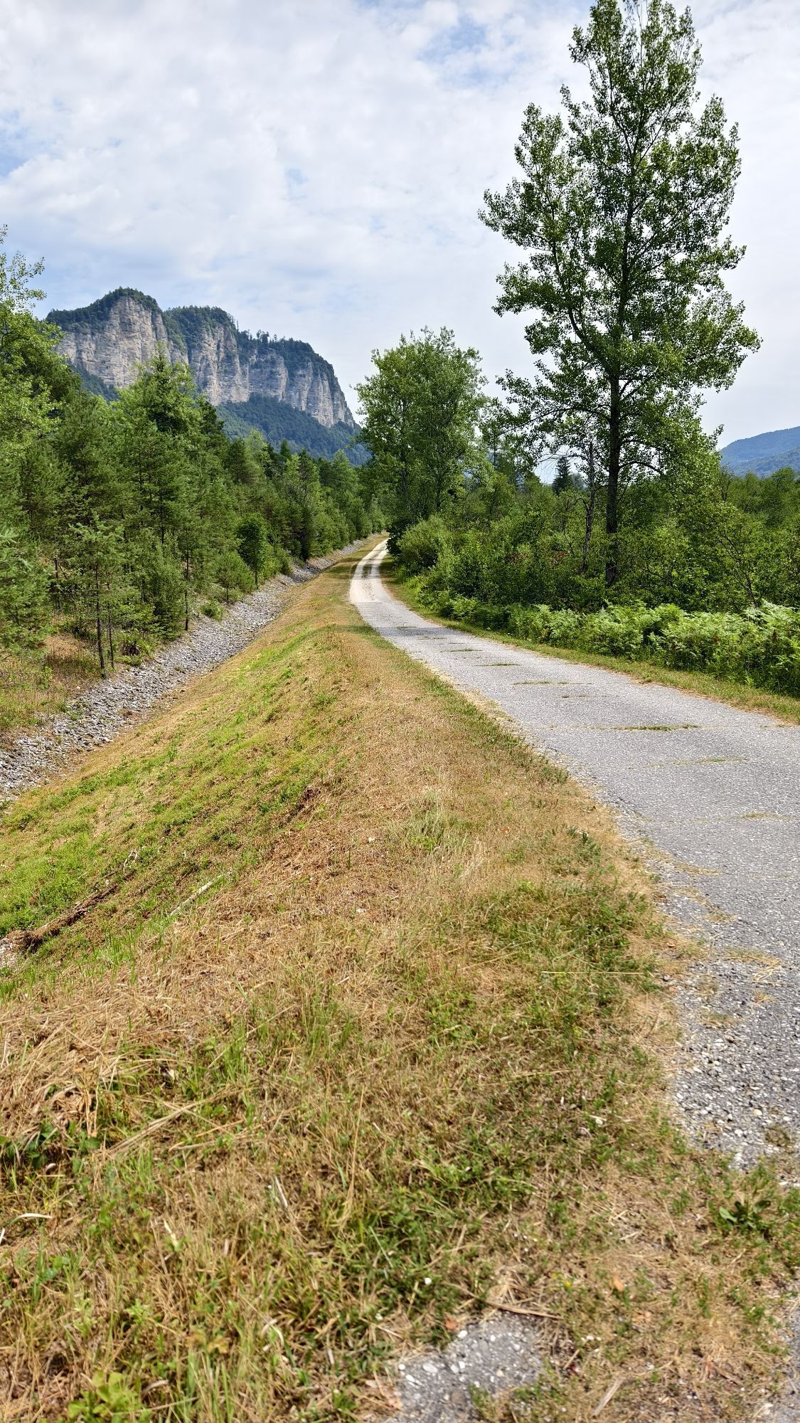
First leisurely along the state road towards Zell, through Waidisch, further on the asphalt road to the beginning of the high valley of Zell. Turn right here and continue on the toll road (gravel) about 300 m altitude gain to the Koschutahaus. Here the highest point of the tour at 1,280 m is reached.
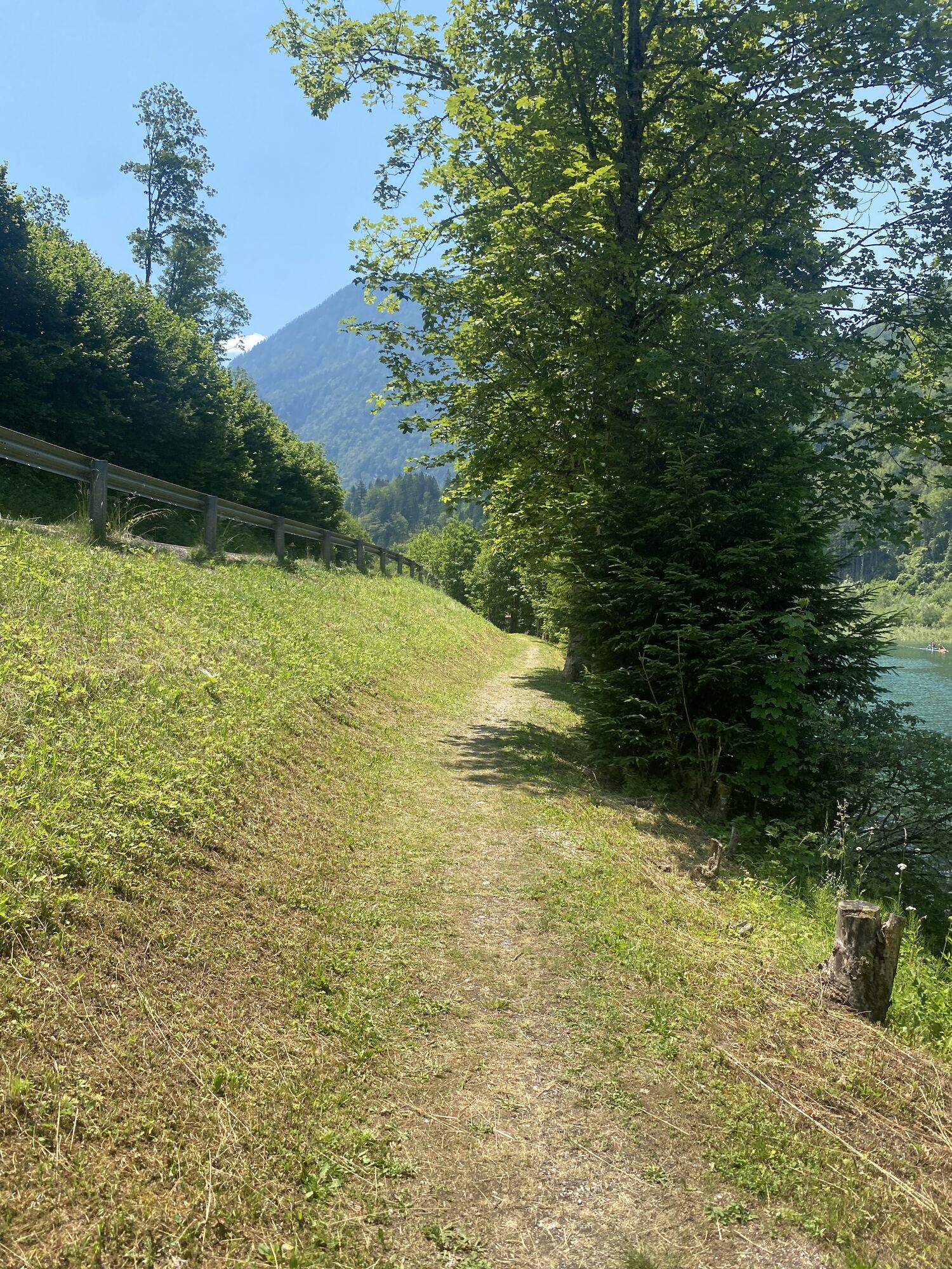
Return again via the toll road to the junction with the state road, turn right here to Zell-Pfarre, continue to Zell-Freibach. Past the Freibacher reservoir to St. Margareten. Here in the middle of the village turn right towards Trieblach/Drava bridge. Down serpentine bends, at the crossroads right again to the bridge. Directly before the bridge turn left onto the Drava cycle path back to Ferlach.
Coming from Klagenfurt directly to Ferlach, turn sharply right after the bridge, large car park
Train and bus
Fairground car park Ferlach
4
Pack swimwear for the Freibacher reservoir!
Získajte prehľad
Vždy naživo na mieste s viac ako 9 500 webovými kamerami. bergfex Ako používateľ Pro si teraz môžete pozrieť príslušné webové kamery pre mnohé zájazdy v aplikácii zájazdy z. Môžete si tak priamo prezerať aktuálne podmienky.

Obľúbené výlety v okolí
-
4,6
Bad Eisenkappel: Hochobir
Turistika 5,50 km -
3,9
Tscheppaschlucht Ferlach
svetloTuristika 5,90 km -
4,8
Through the Tscheppaschlucht into the Loibltal
strednáTuristika 4,58 km -
4,6
Water experience trail Hainschgraben
strednáTuristika 9,23 km -
4,9
Koschlak Klettersteig BC, D
strednáVia ferrata 2,60 km -
4,9
Eisenkappler Hütte - Hochobir
strednáTuristika 8,86 km -
4,4
Wandertour Hochobir / Zell
strednáTuristika 5,76 km -
4,2
Through the Tscheppa Gorge to Bodental
strednáTuristika 10,6 km -
4,6
Via ferrata Lärchenturm
ťažkéVia ferrata 6,15 km -
4,6
Vom Seebergsattel auf den Kärntner Storschitz (Rundweg)
ťažkéTuristika 8,30 km
Turistika a stopovanie


Nenechajte si ujsť ponuky a inšpiráciu na ďalšiu dovolenku
Vaša e-mailová adresa bol pridaný do poštového zoznamu.





