




Tainach route

Úroveň náročnosti: 3
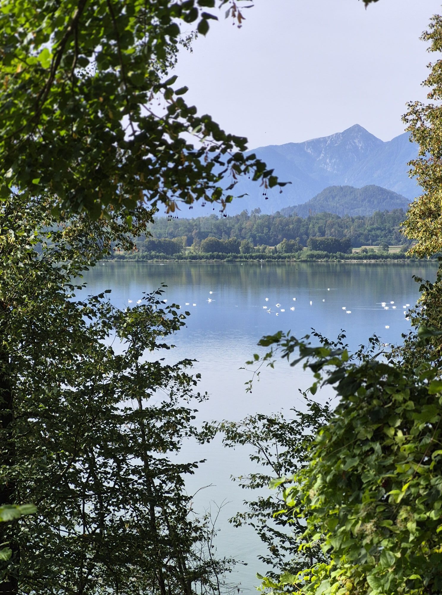
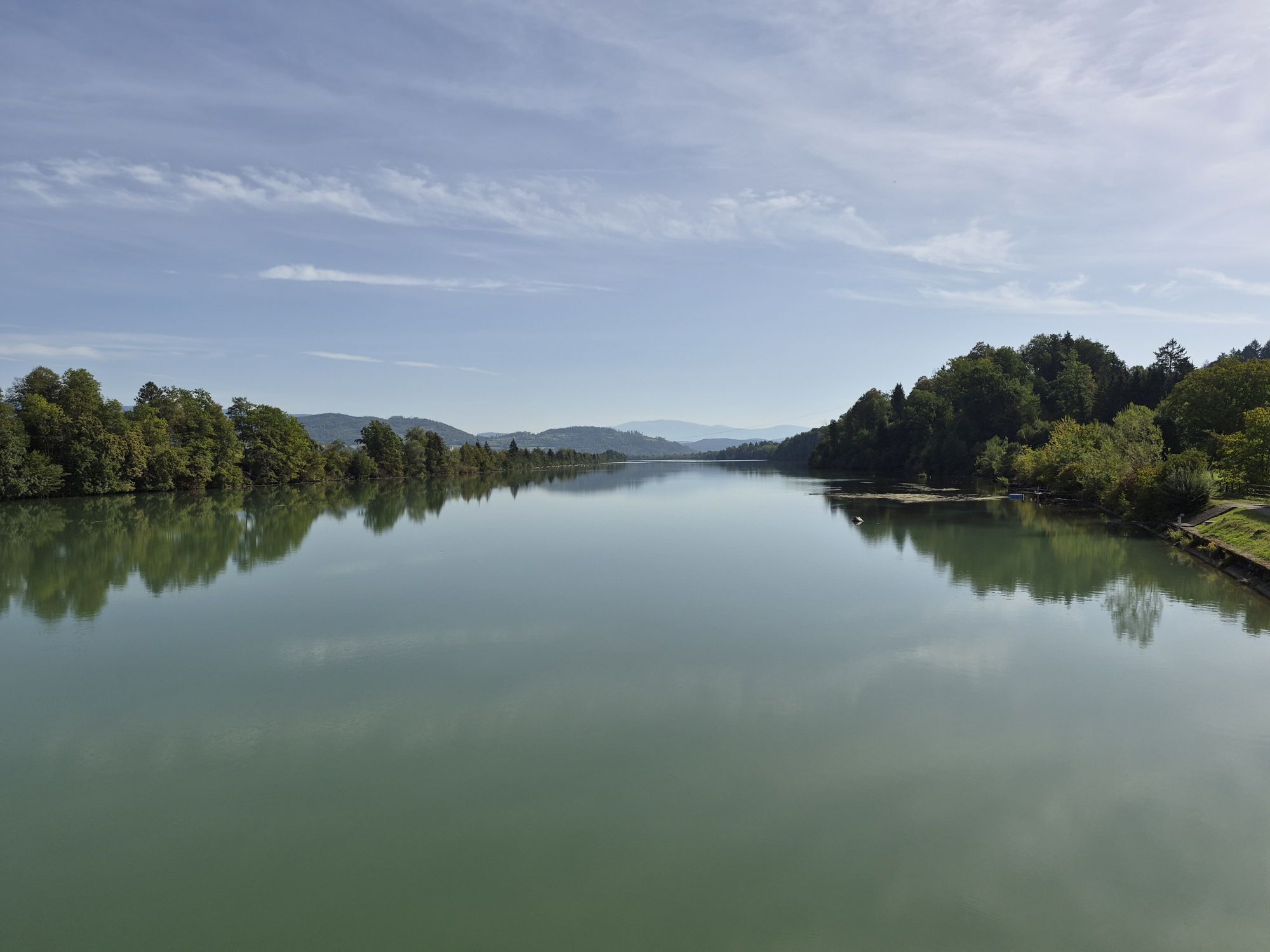
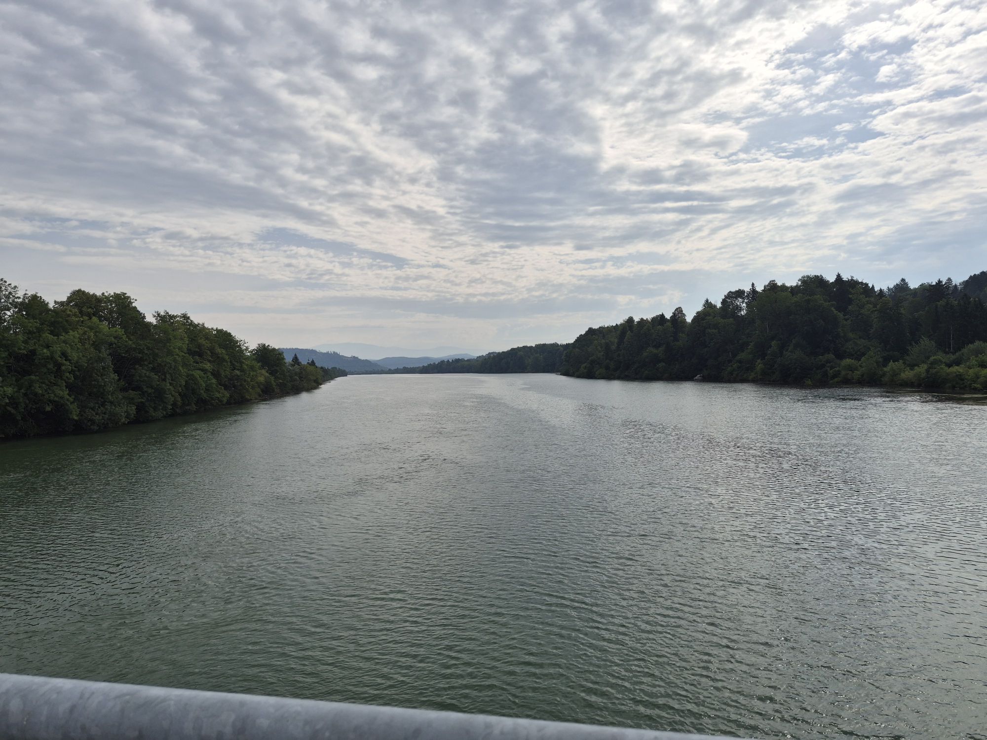

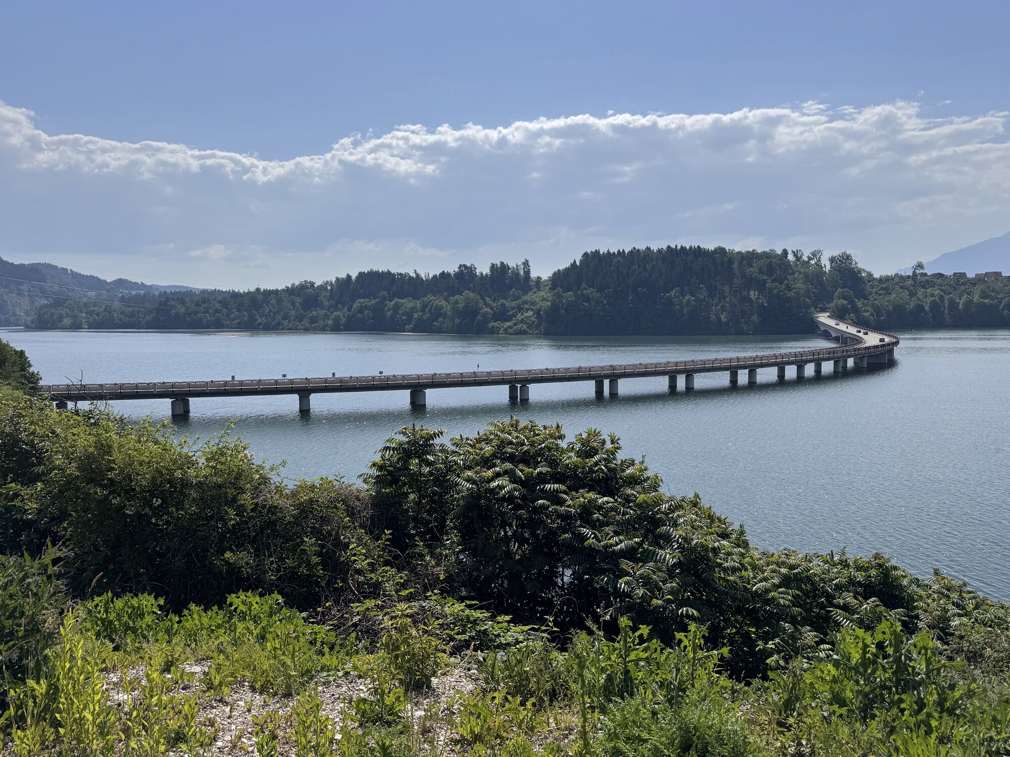
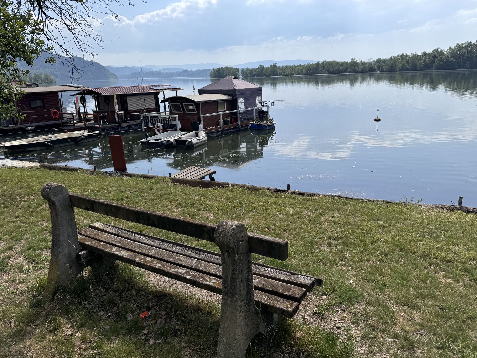
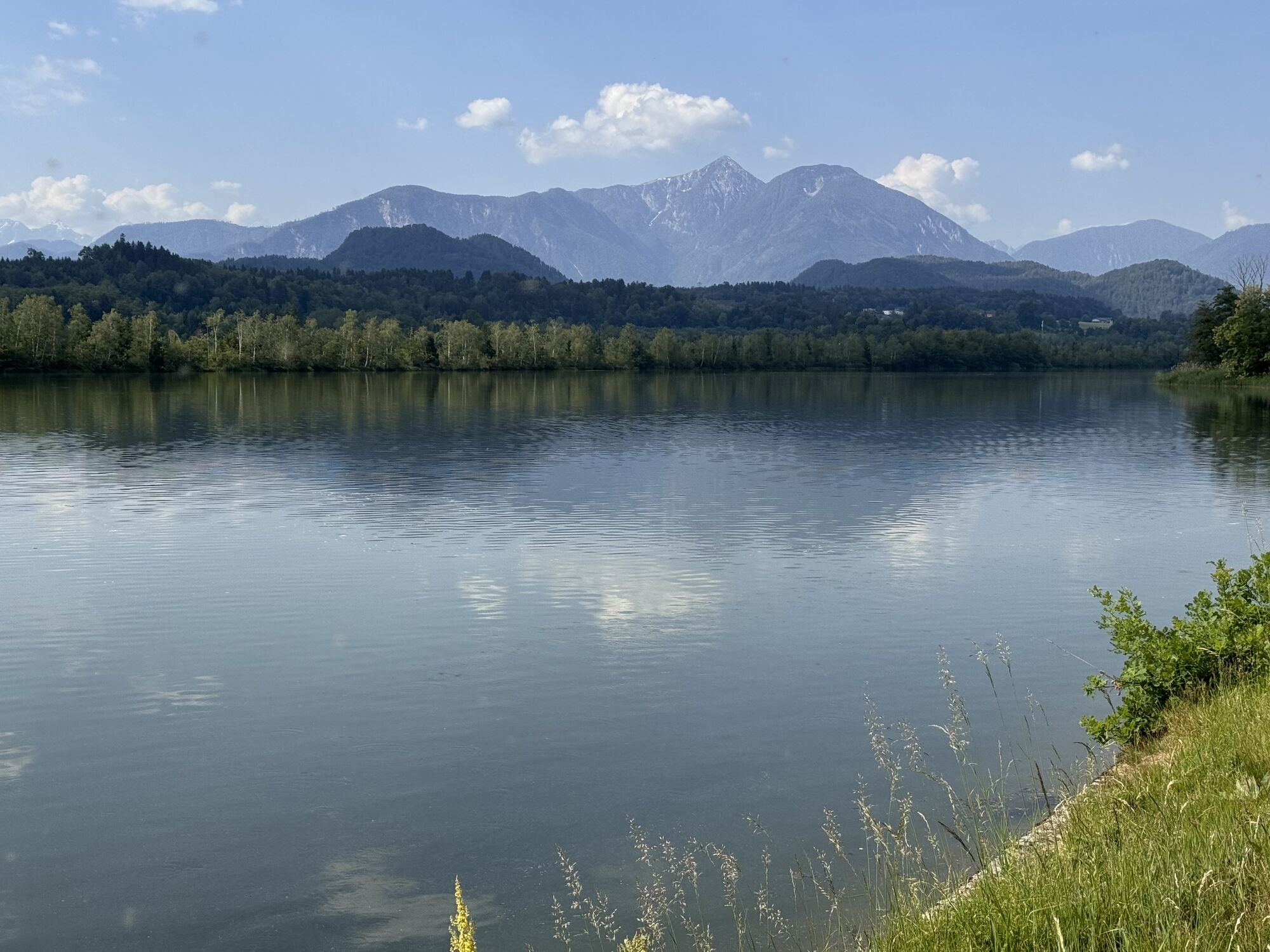
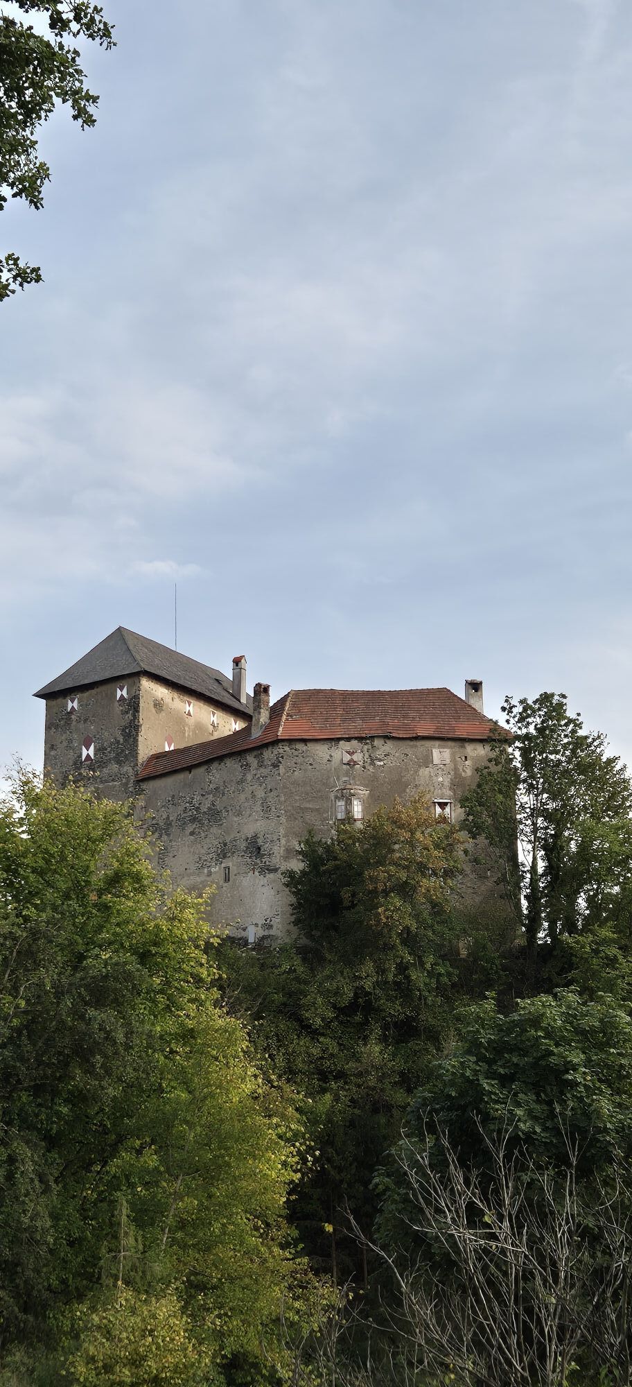

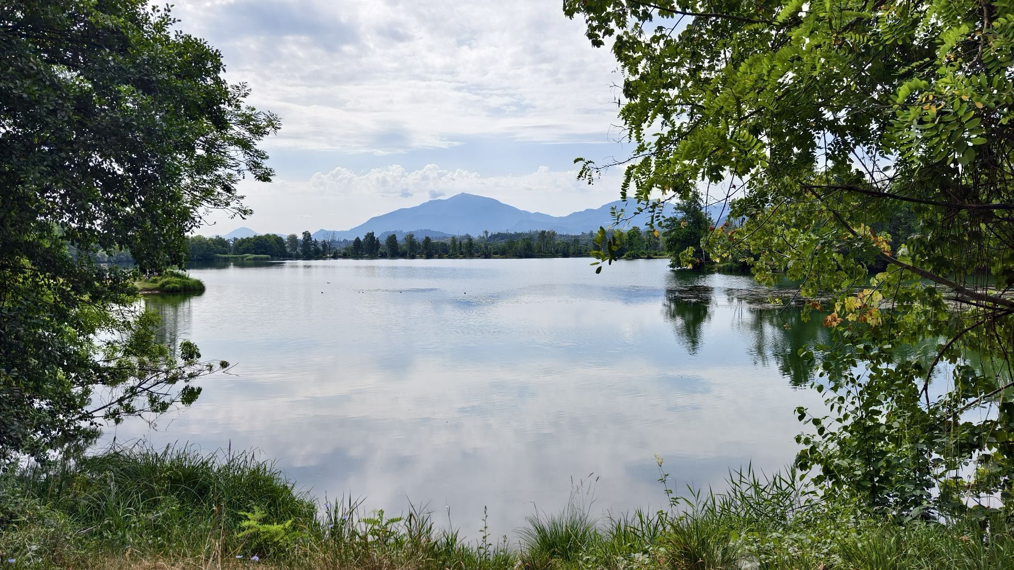
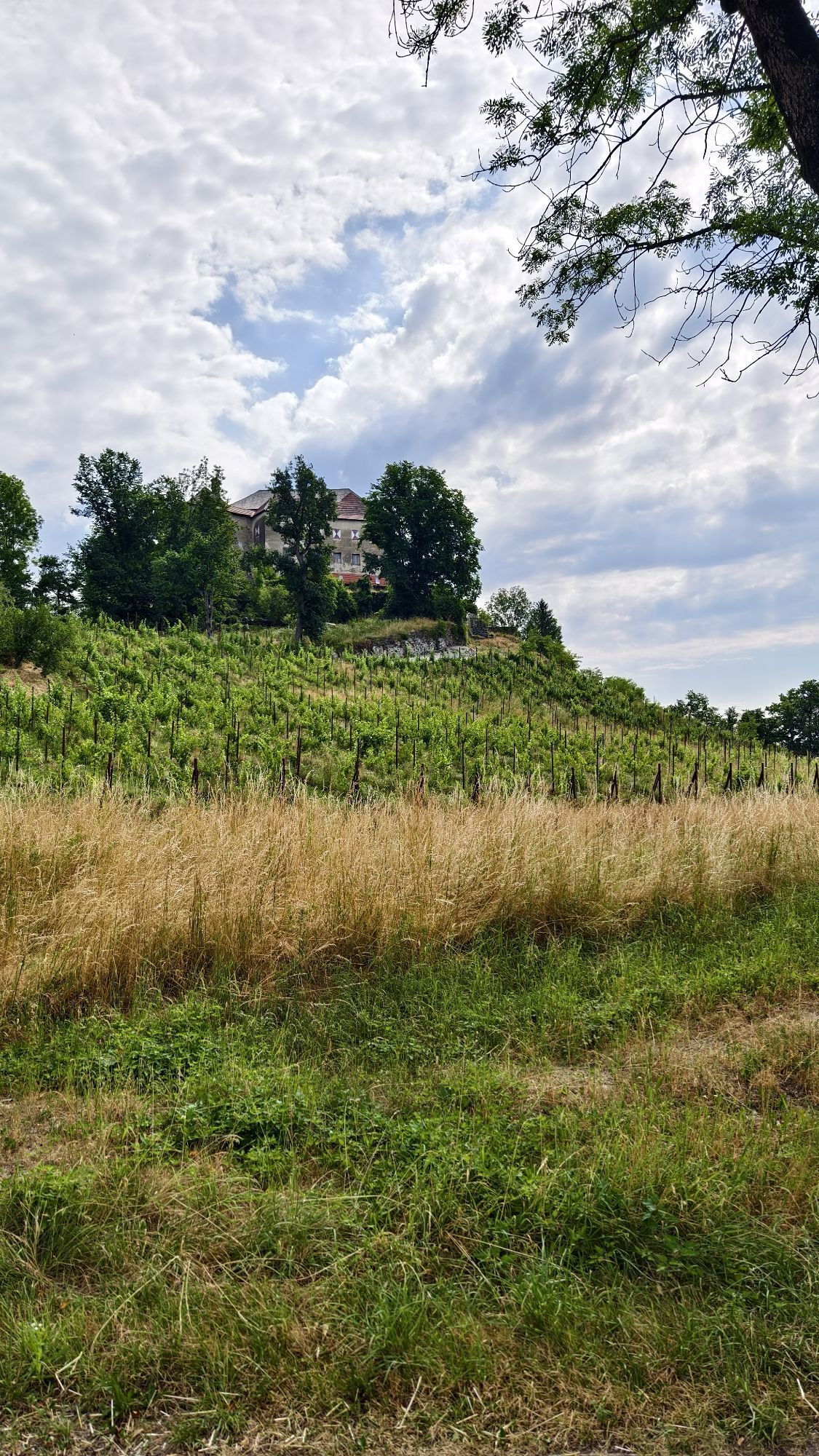
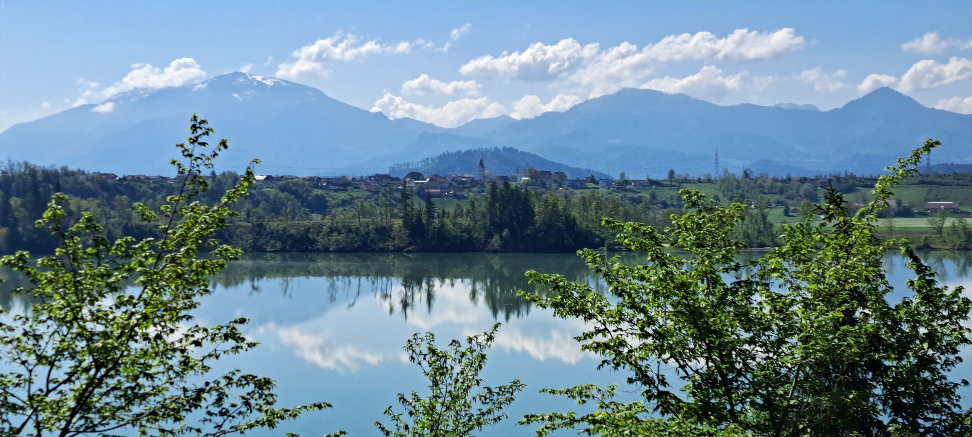
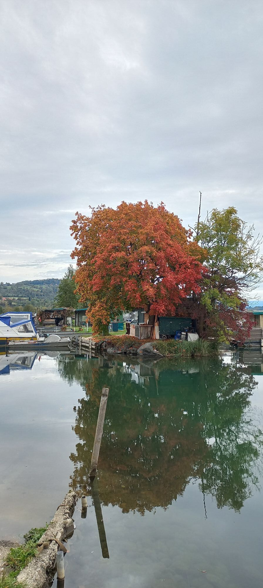
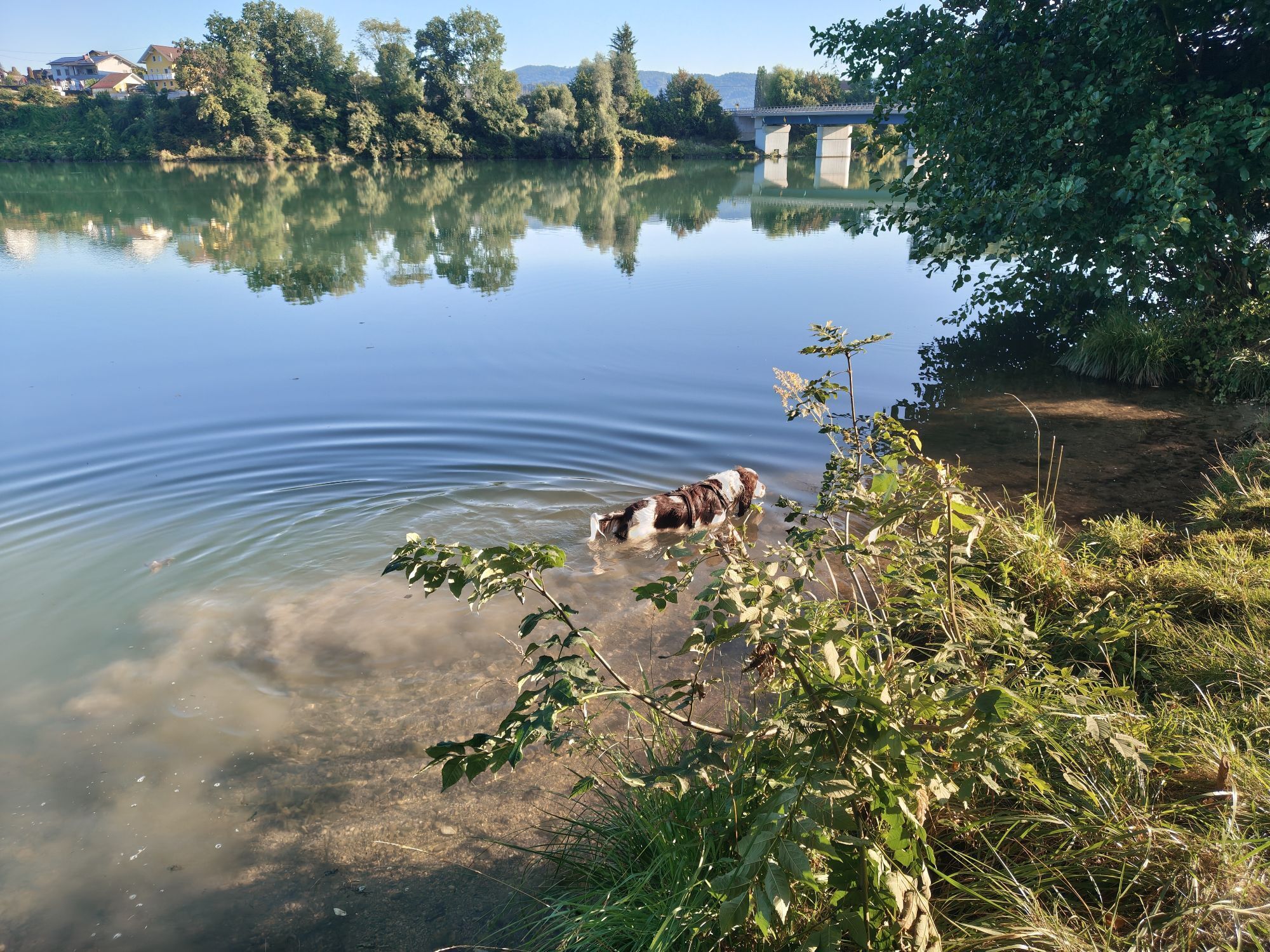

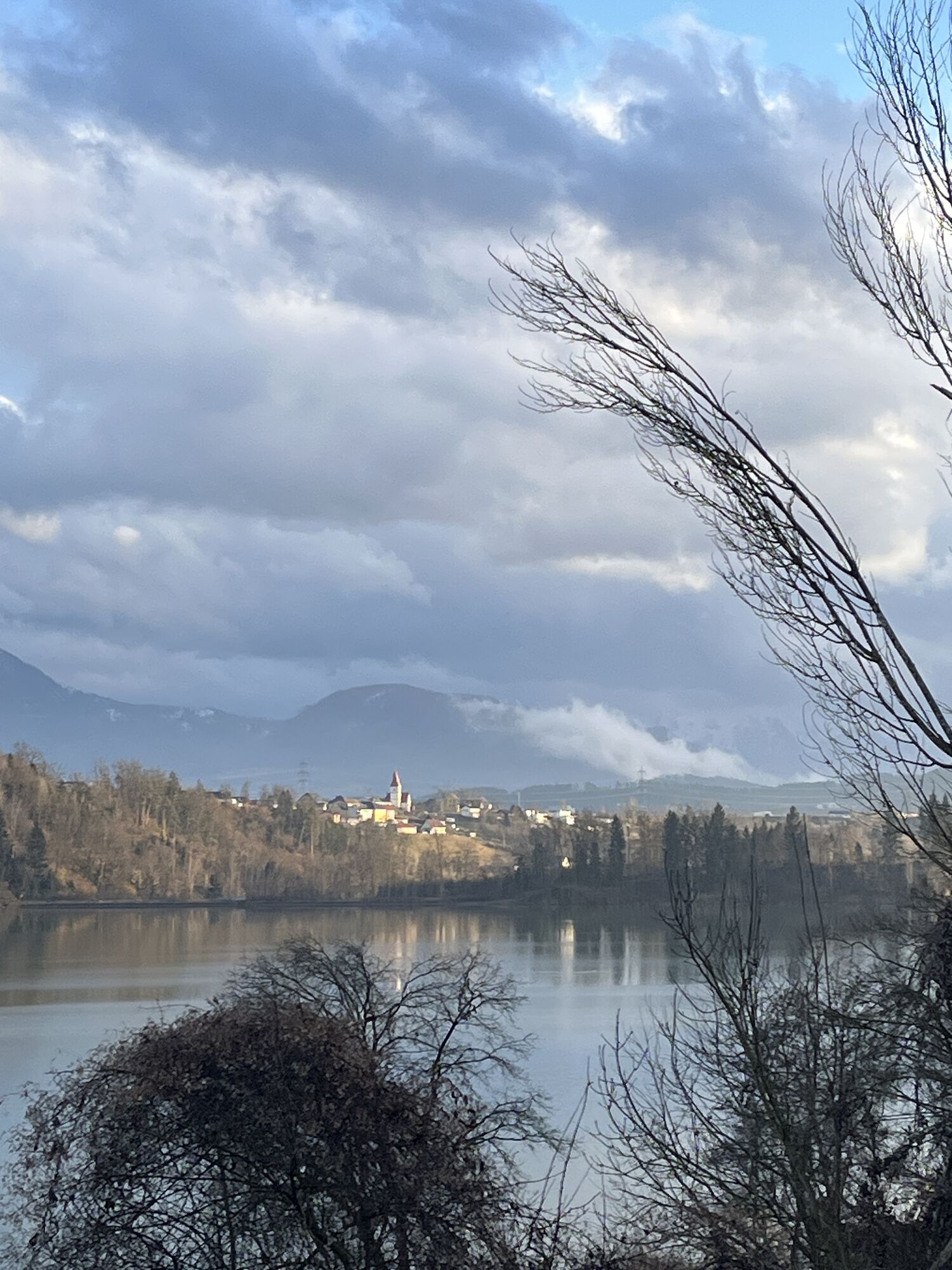
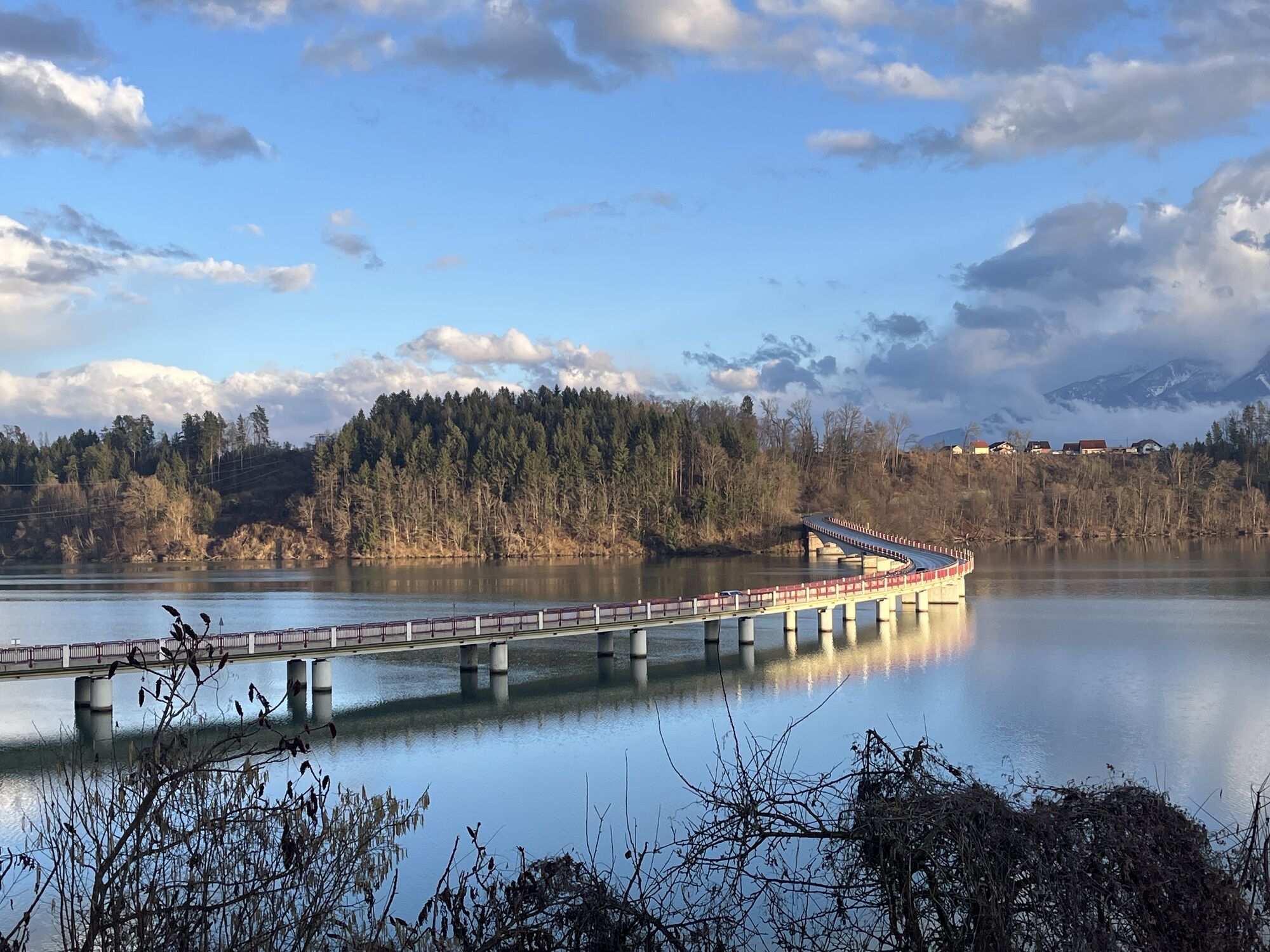
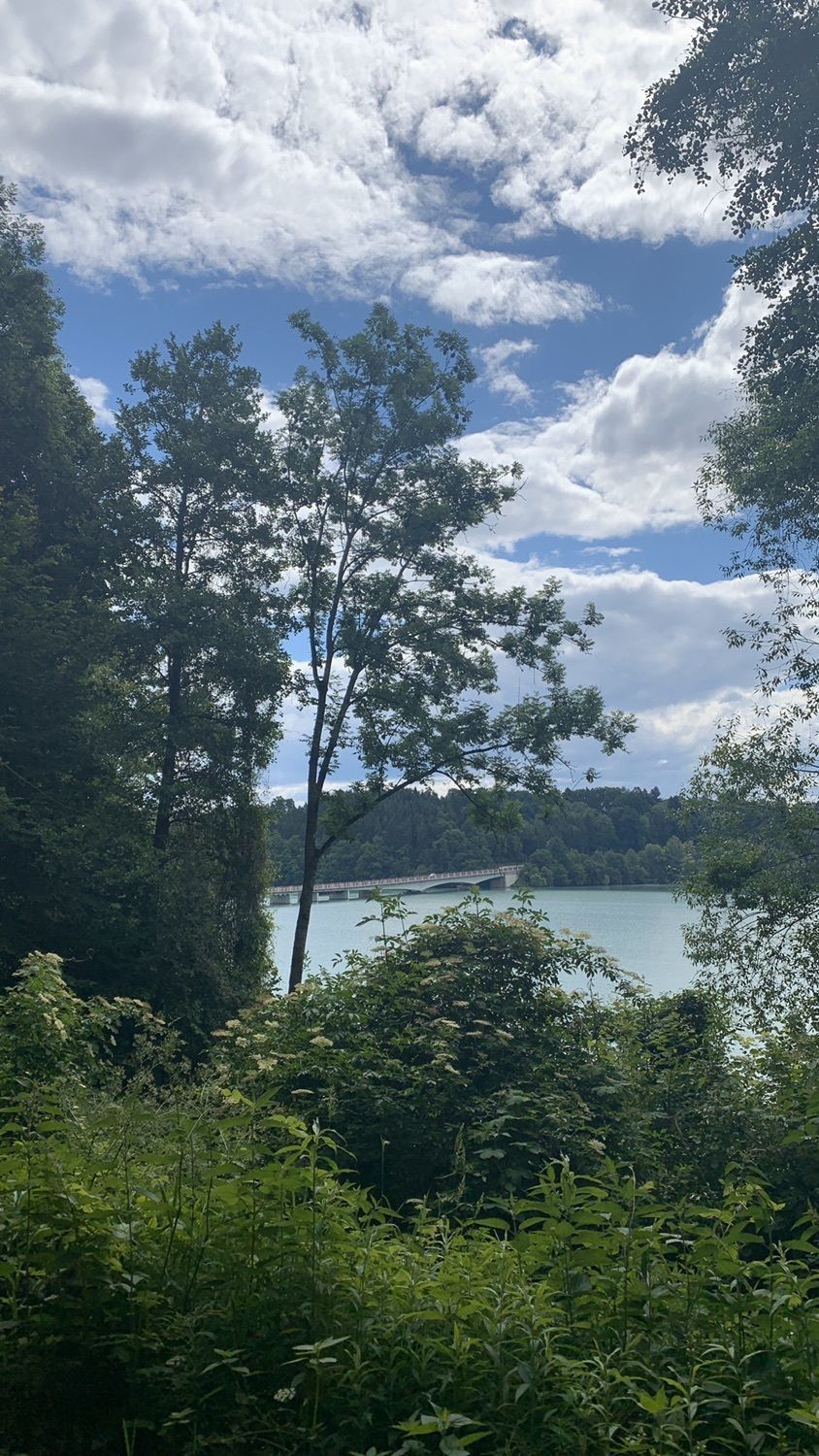
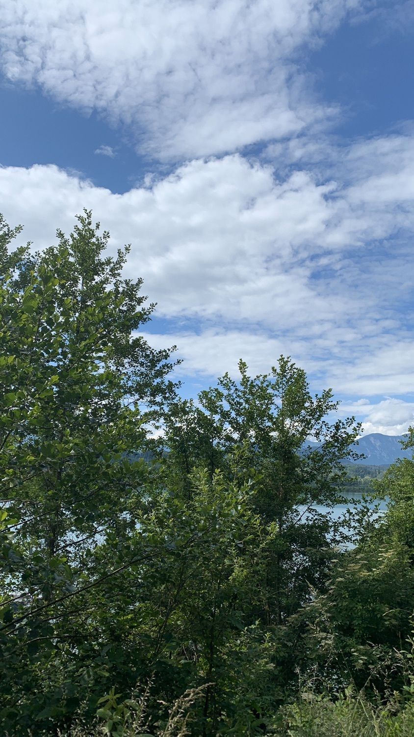
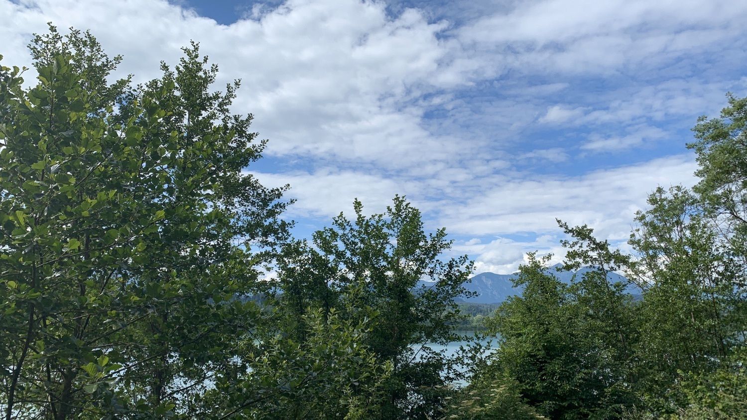
Relaxed, scenic route with only 2 shorter steep climbs – once to Völkermarkt and once to Winklern. A visit to the main square of Völkermarkt, including the weekly markets on Wednesday and Friday, or the...
Relaxed, scenic route with only 2 shorter steep climbs – once to Völkermarkt and once to Winklern. A visit to the main square of Völkermarkt, including the weekly markets on Wednesday and Friday, or the cafés and restaurants, is recommended.

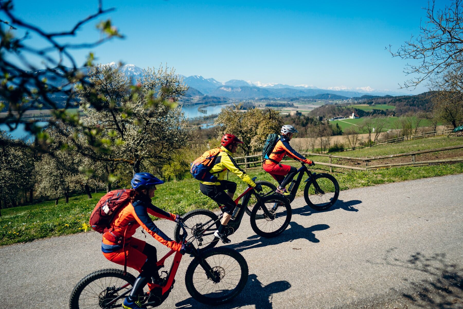
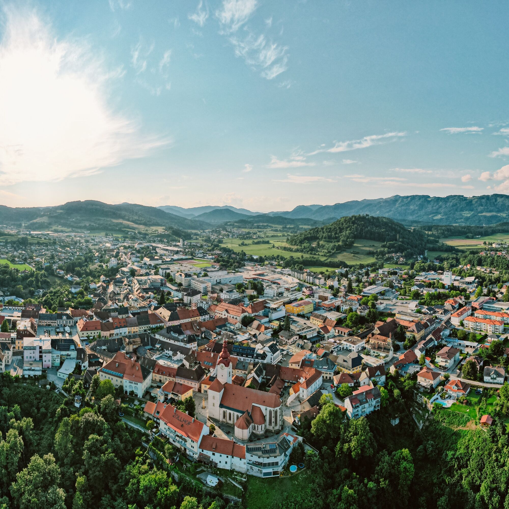

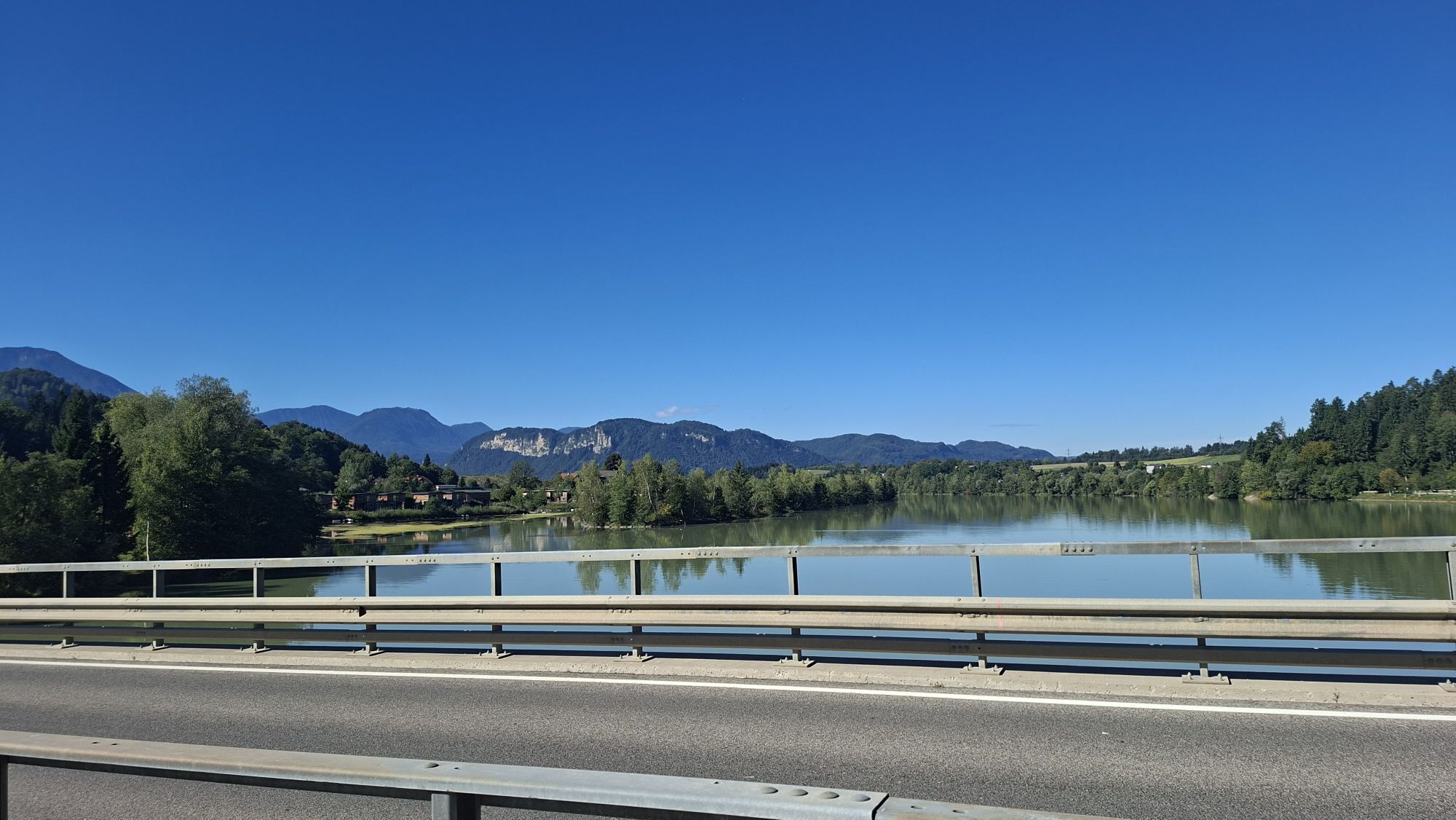
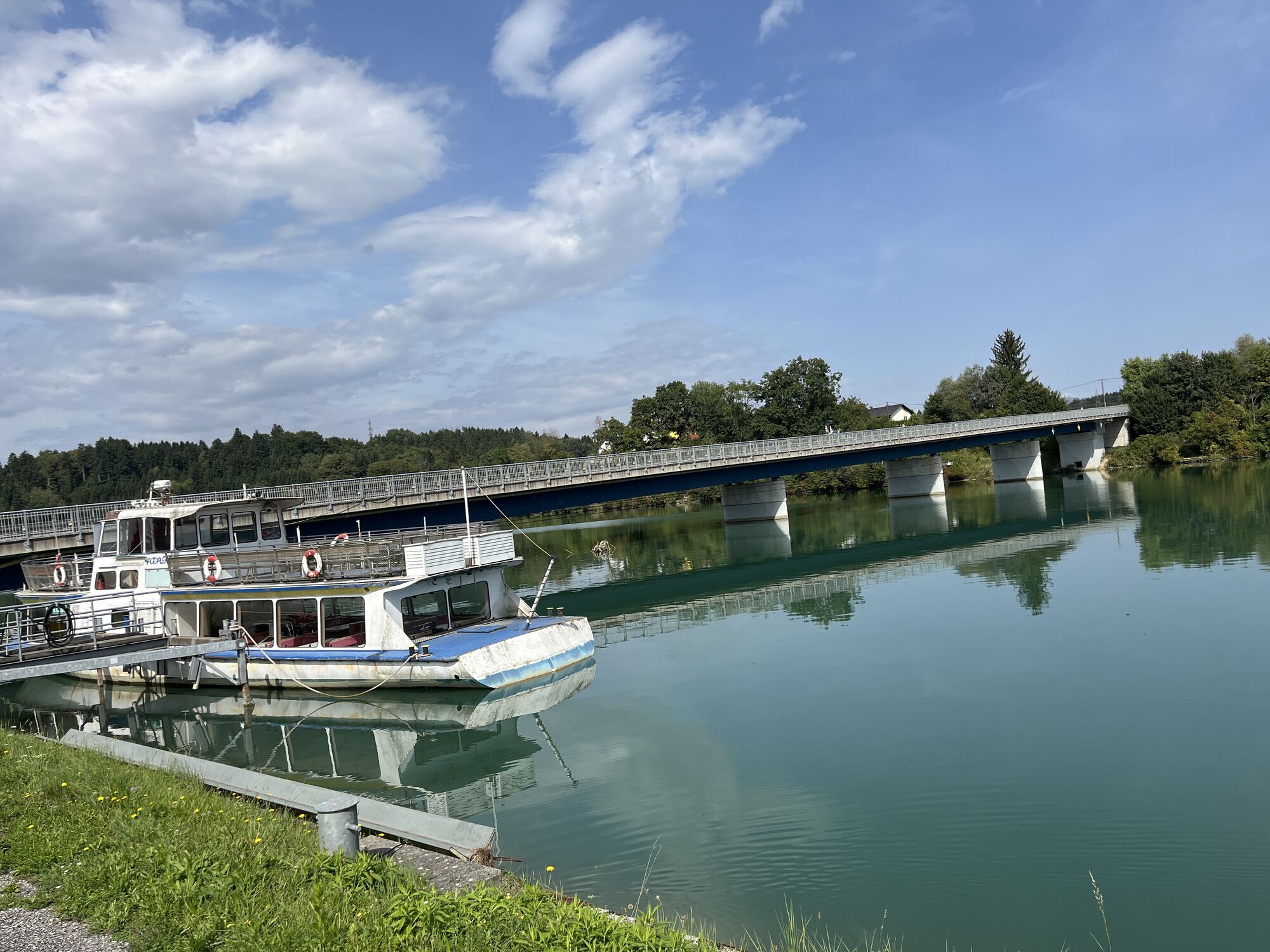
Starting from the parking lot we cross the Draubrücke and turn right towards Völkermarkt. We follow the Drauradweg (R1) past the Neudenstein bird sanctuary to the Gasthof Am Stausee. A narrow path leads steeply uphill into the Völkermarkt district of Ritzing. Via Nibelungenstraße we continue into Bürgerspitalweg and turn right into Klagenfurter Straße. After about 100 m turn left into Johann Heinrich Pestalozzistraße, then continue to Strandbadweg, turn left into Peter Rosegger Weg. Pass the cemetery on the right to the intersection with Seeberg Bundesstraße. Turn right here and after about 100 m turn left towards St. Margarethen. We follow the road to the village. At the intersection in the center of St. Margarethen we continue straight on and reach St. Georgen am Weinberg via a slight climb. At the intersection by the soccer field, turn left uphill, pass the church and follow the road to the farm group Winklern. There turn left through the Saugraben and continue to Unterbergen. We cross the village to the municipal road and follow it to the right. The next turn to the left takes us to the village of Eiersdorf. Then we cross the Packer Bundesstraße and the highway (overpass) and follow the field path. We reach the village of Tainach through the forest. The fourth turn to the right and a path leads us via Drauhofen to St. Kanzianer Straße, where we turn right at the intersection to return to the parking lot.
Helmet
Sun and rain protection
Water bottle
Helmet
Via A2 Grafenstein exit towards Tainach - Klopeiner See
Directly at the Draubrücke at the parking lot of the Drauschifffahrt
3
www.klopeinersee.at
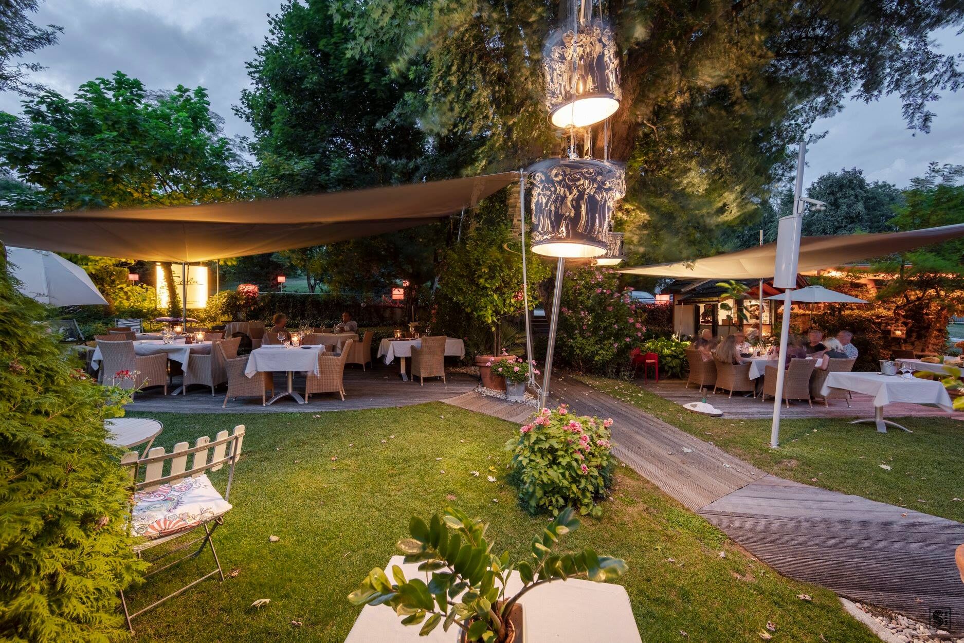
Galerie Magnet and the local history museum. Wine lovers should ask for the winemaker Kucher in St. Margarethen ob Töllern. And gourmets will finally enjoy the "Sicher" in Tainach – a 3-tophat chef who will especially delight fish fans.

Webové kamery z prehliadky

Aktivity počas prehliadky

Obľúbené výlety v okolí
-
4,6
Slow Trail Kitzelberg, Klopeiner See
strednáTuristika 6,82 km -
4,3
Klopeiner See route: "Promenade round"
svetloTuristika 5,27 km -
4,6
Diex panorama trail
svetloTuristika 12,1 km -
4,5
Magdalensberg von St.Donat
svetloTuristika 9,28 km -
4,2
3-Lakes route pleasure bike
strednáCyklistika 18,1 km -
4,0
MAGDALENSBERG RUNDWANDERUNG
strednáTuristika 11,7 km -
3,9
Kitzelberg route - Lake Klopein
strednáTuristika 5 km -
3,2
Slow Trail Turnersee
svetloTuristika 7,28 km -
4,0
Around the Buchberg (6)
strednáTuristika 8,79 km -
4,4
Vitushöhe-Marterlweg St. Veit im Jauntal
svetloTuristika 5,12 km
Turistika a stopovanie


Nenechajte si ujsť ponuky a inšpiráciu na ďalšiu dovolenku
Vaša e-mailová adresa bol pridaný do poštového zoznamu.


