







Through the hinterland around Lake Wörthersee
Úroveň náročnosti: 1


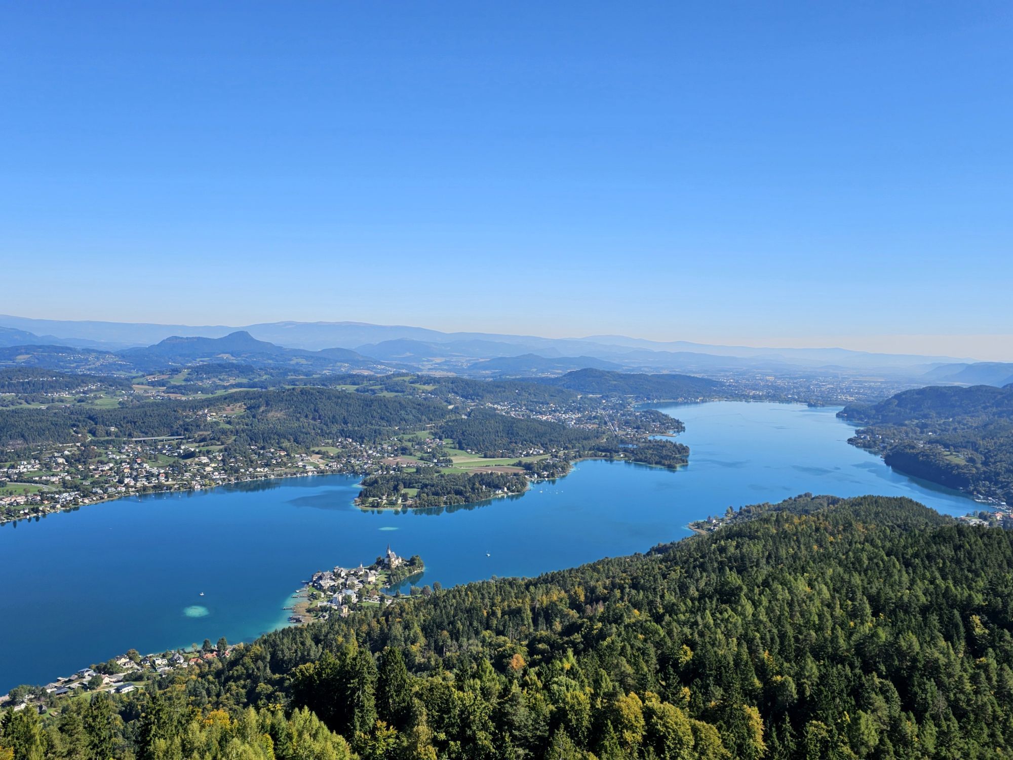
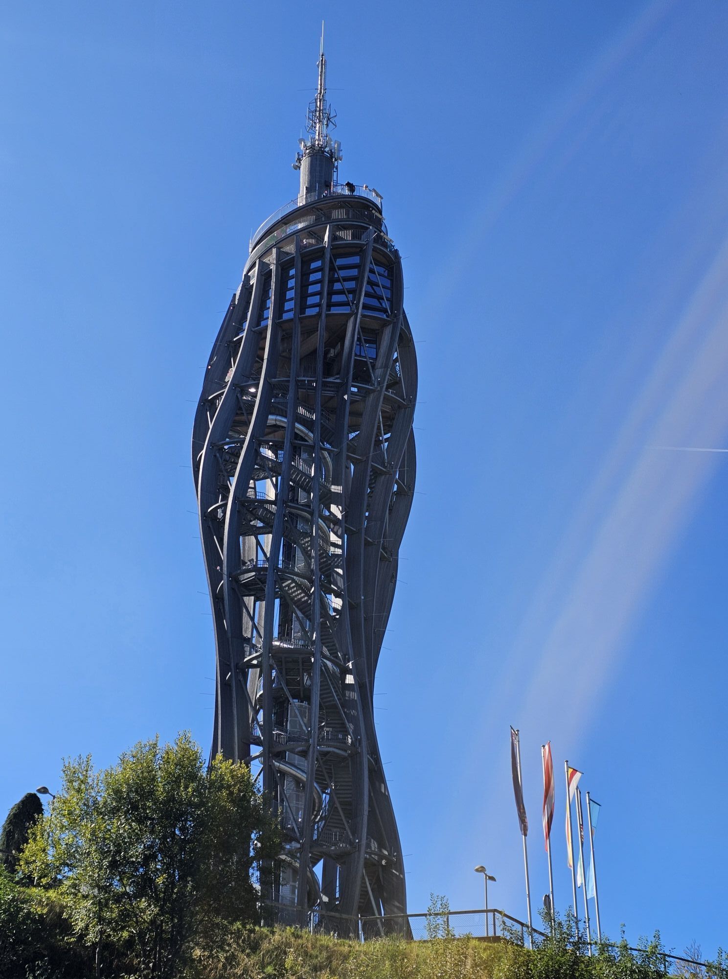
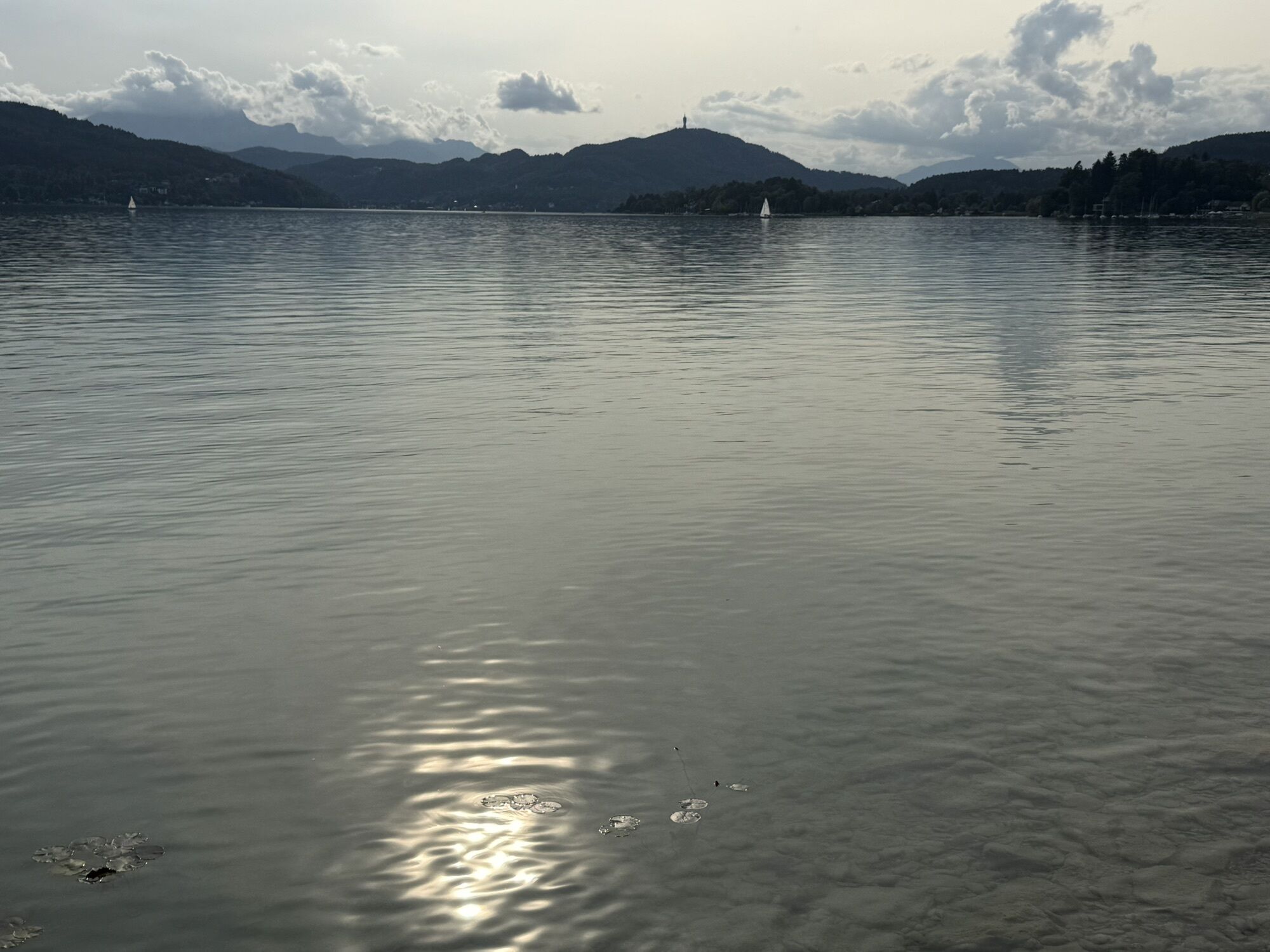
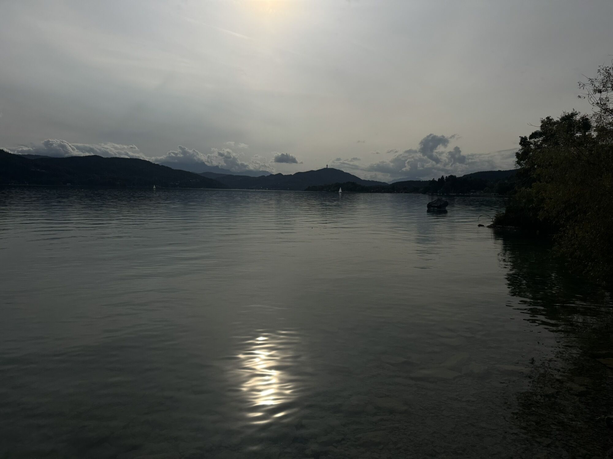
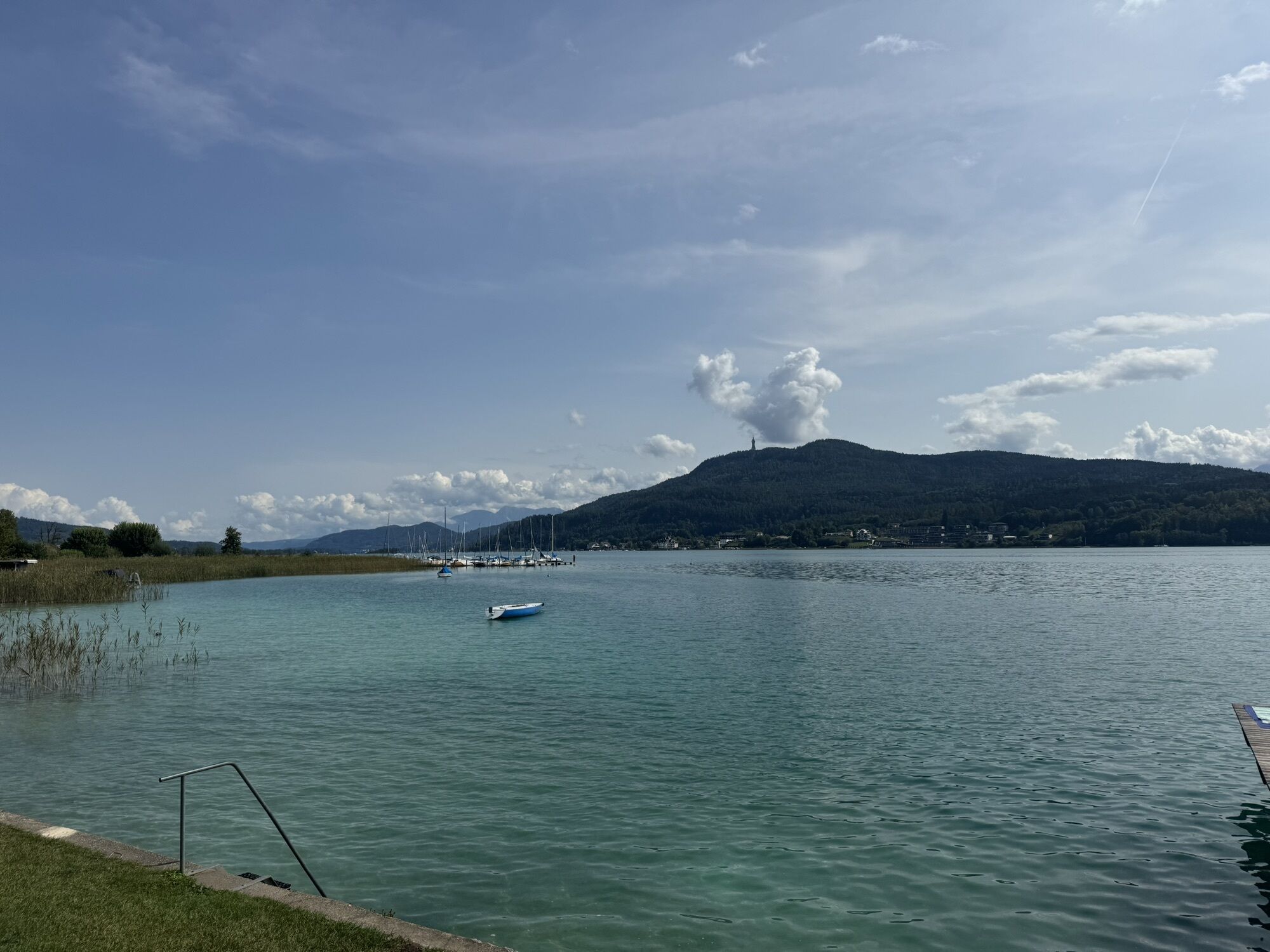
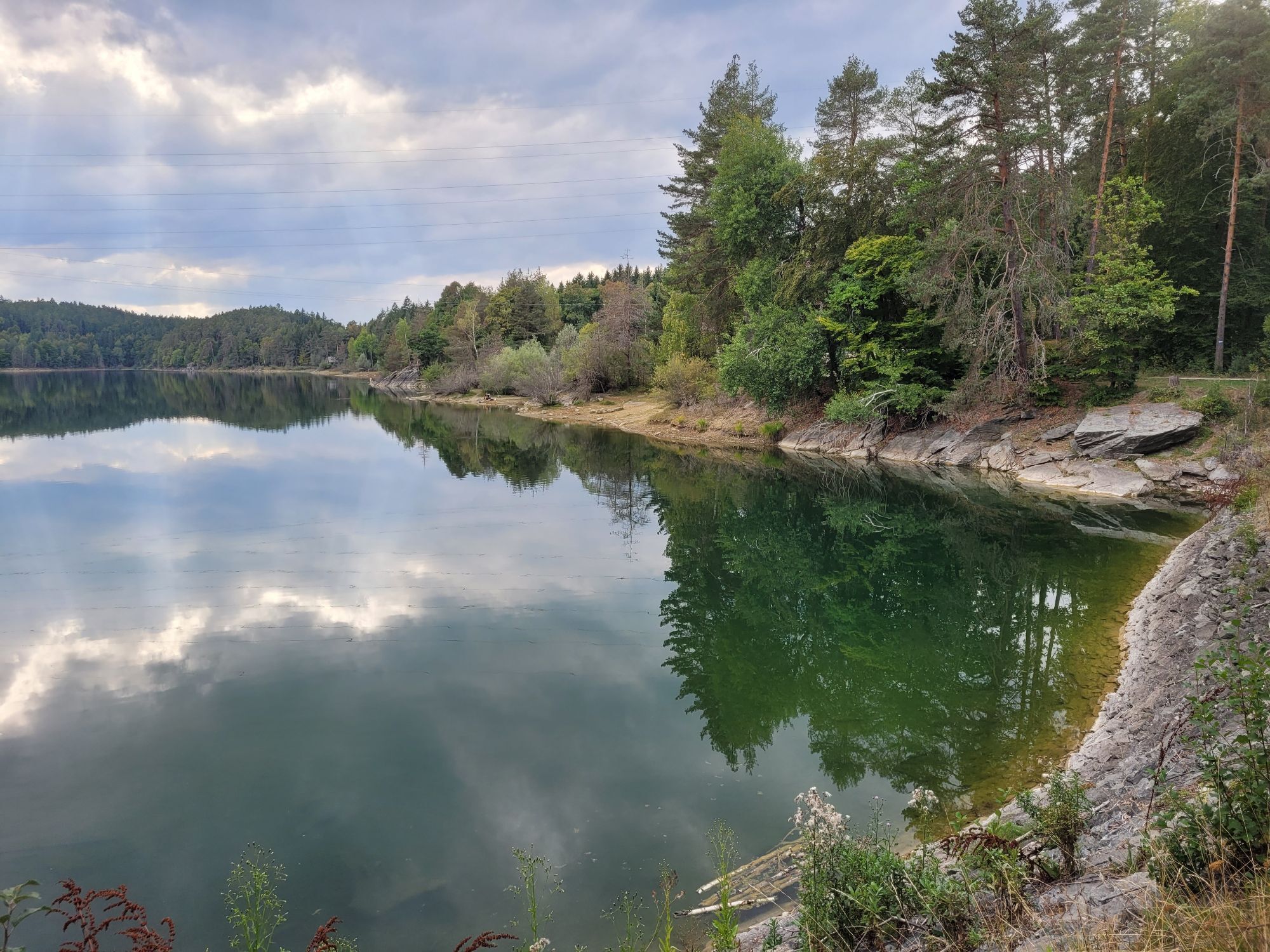
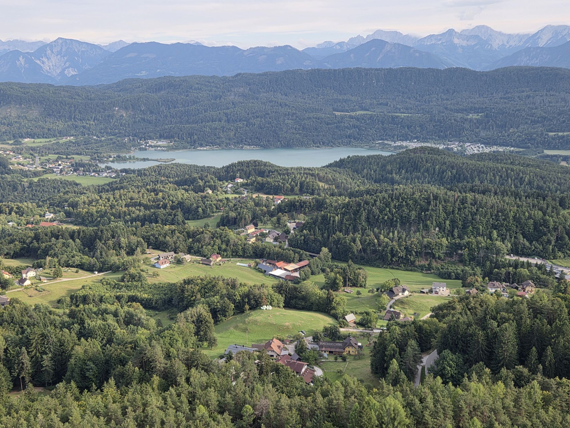
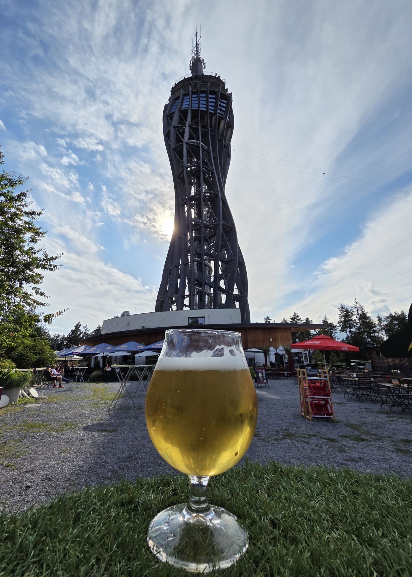
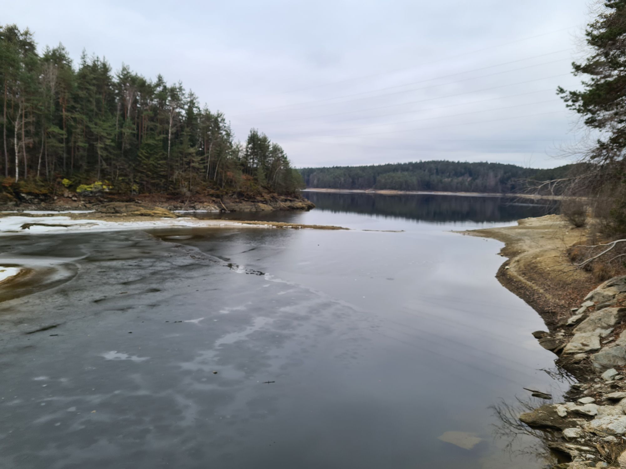
The fact that it's also up and down around Lake Wörthersee is proven by the small side roads where you can circle the lake off the main traffic routes. From Velden through the Keutschach valley, with a...
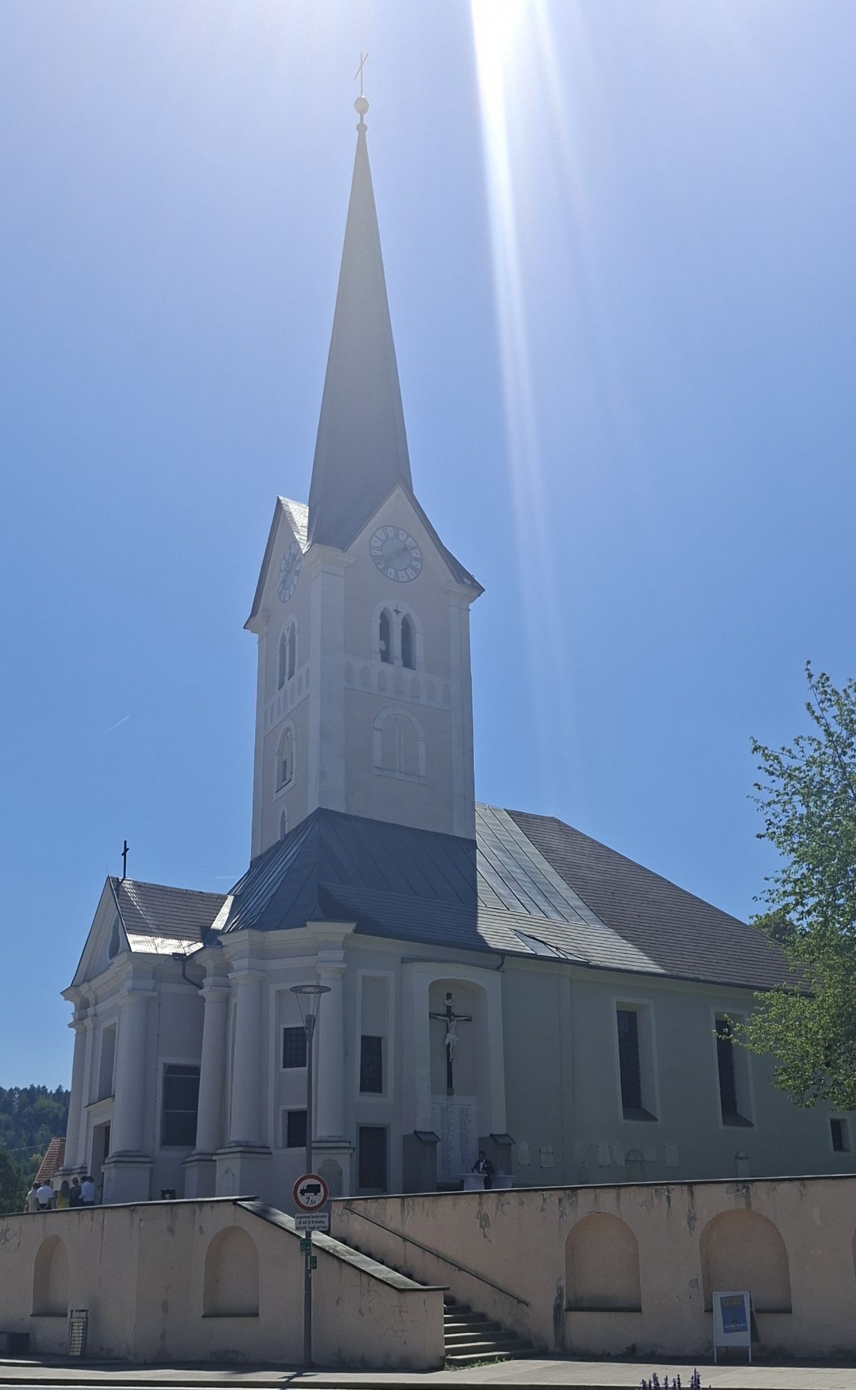
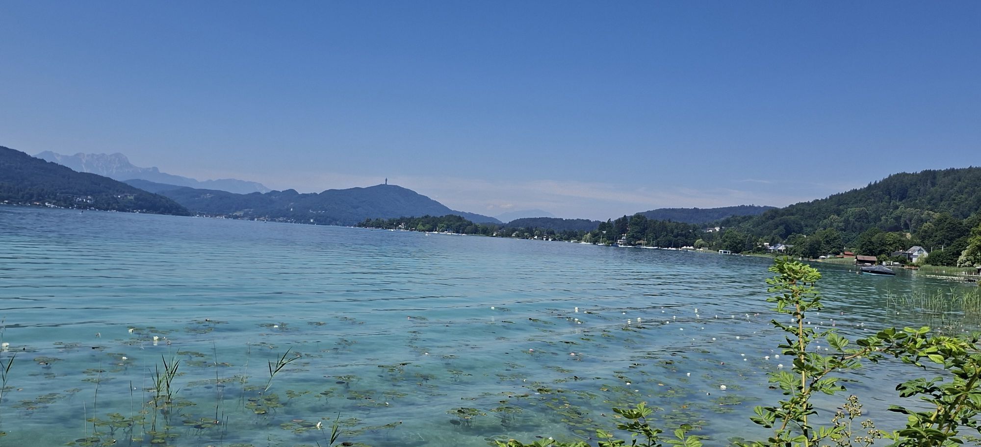
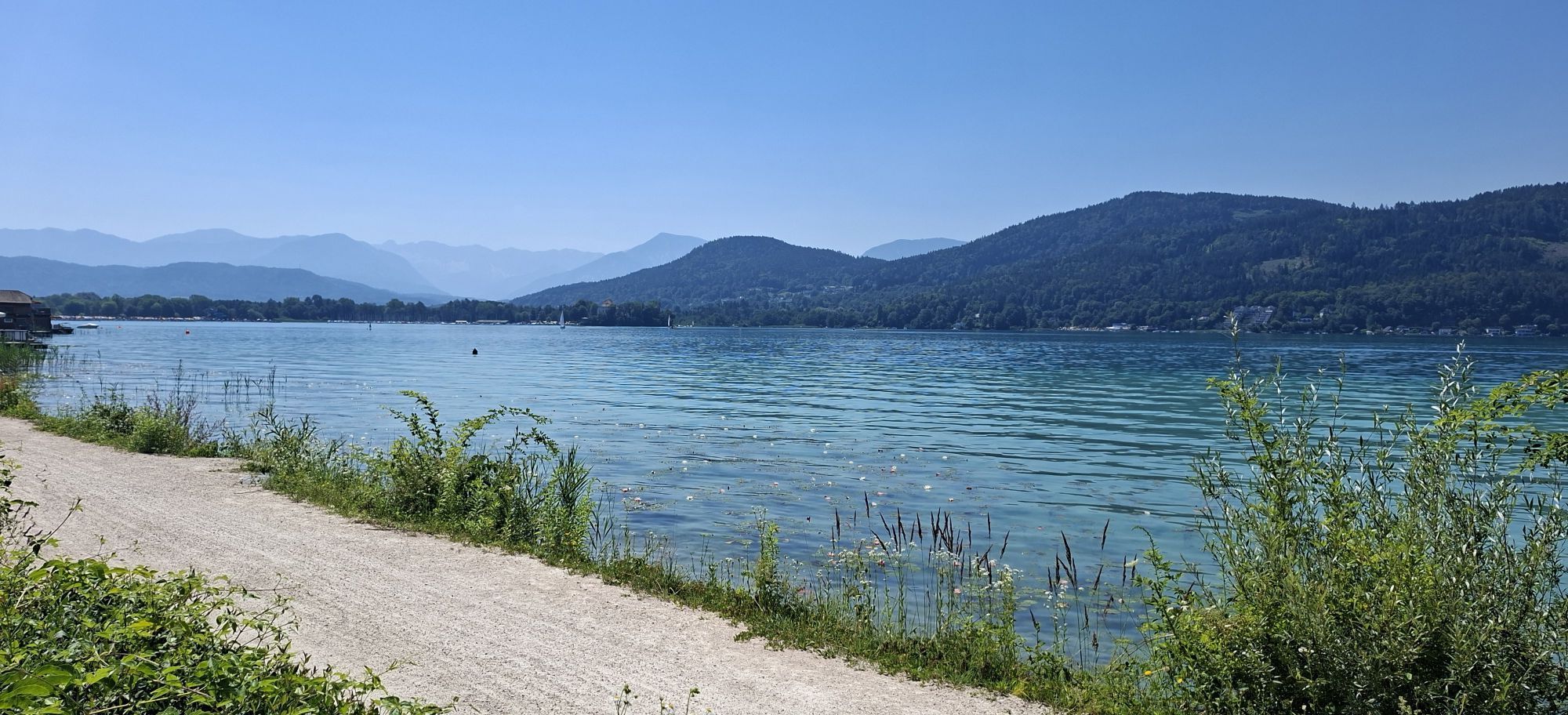
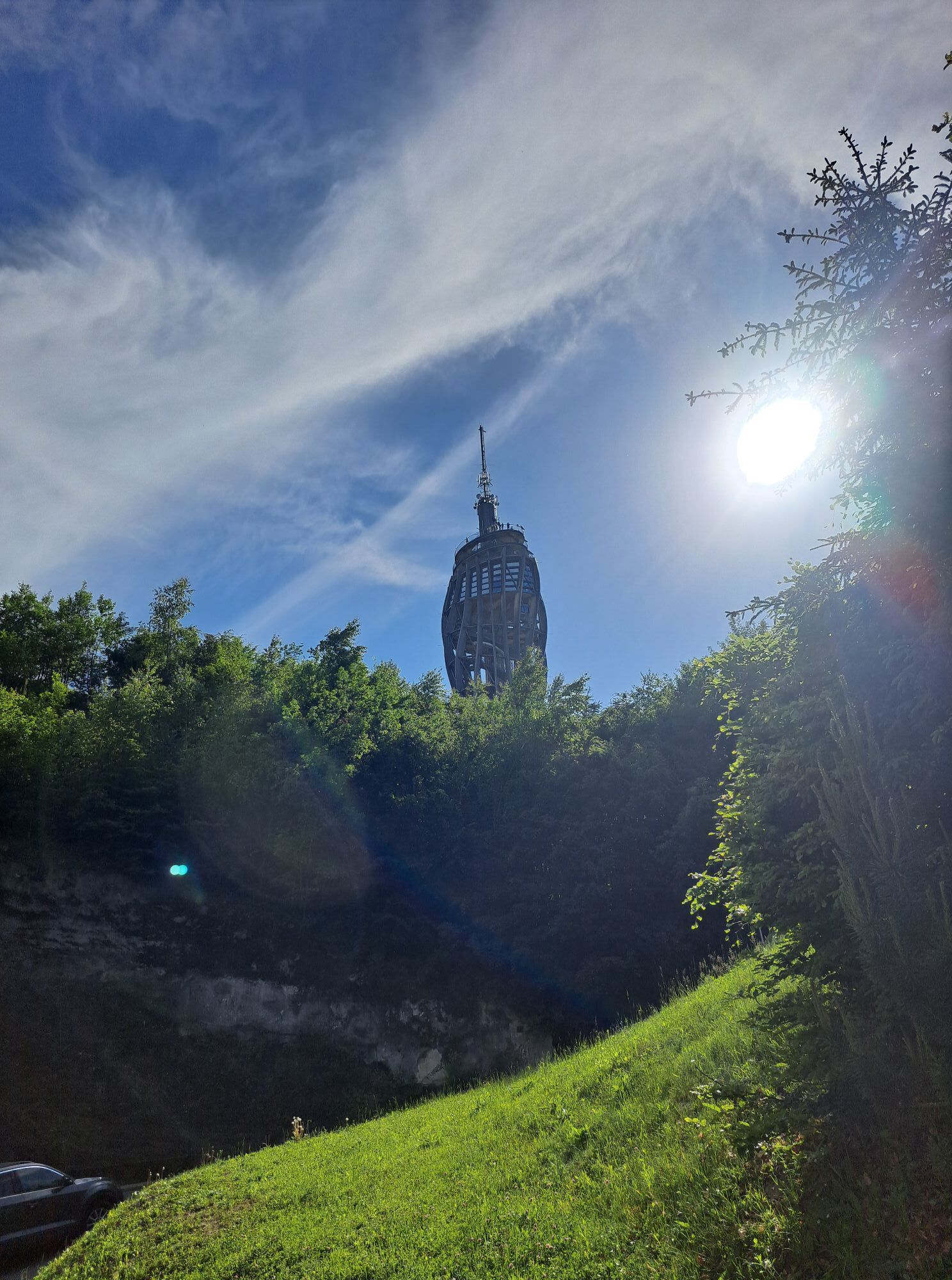
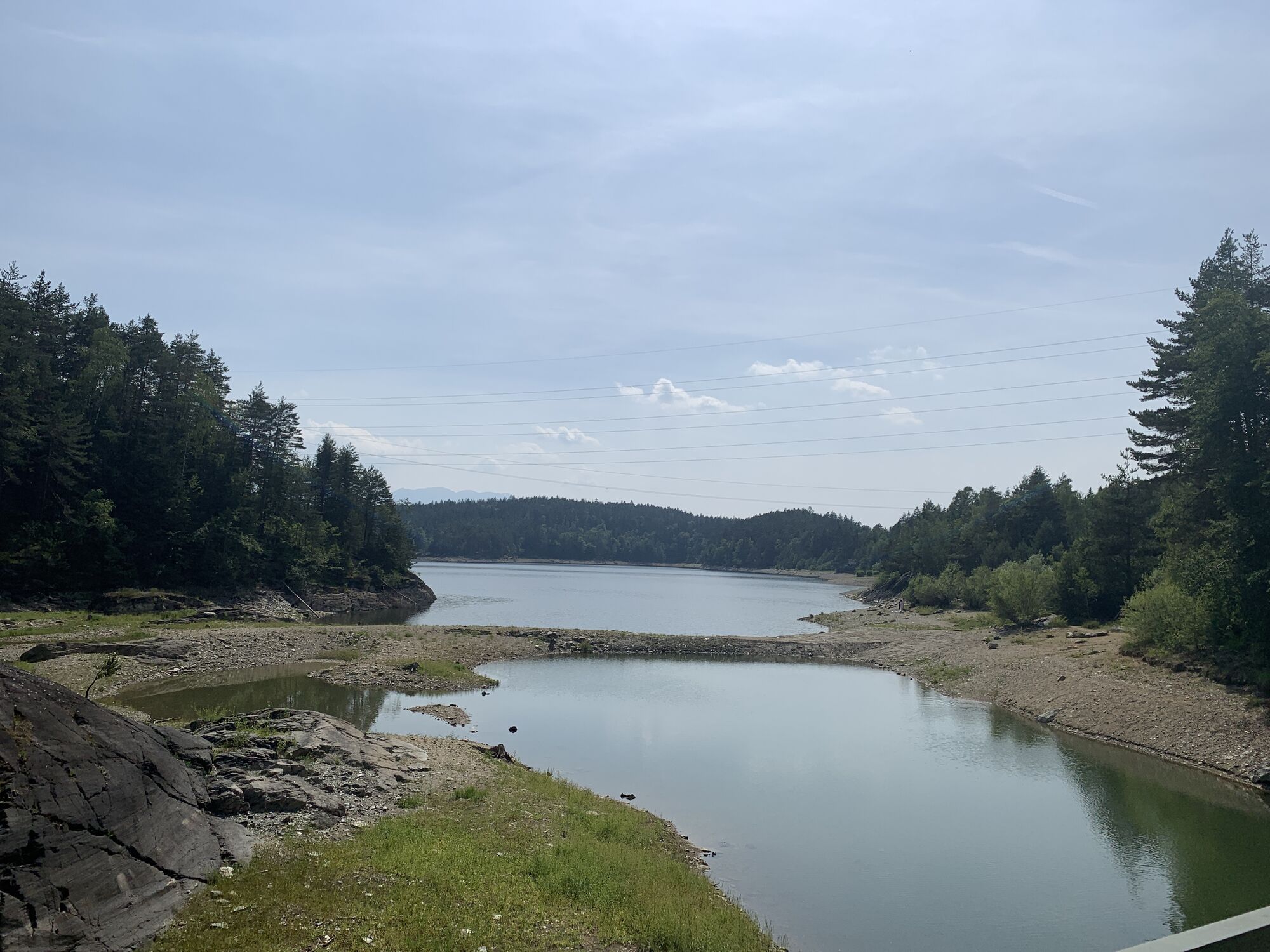
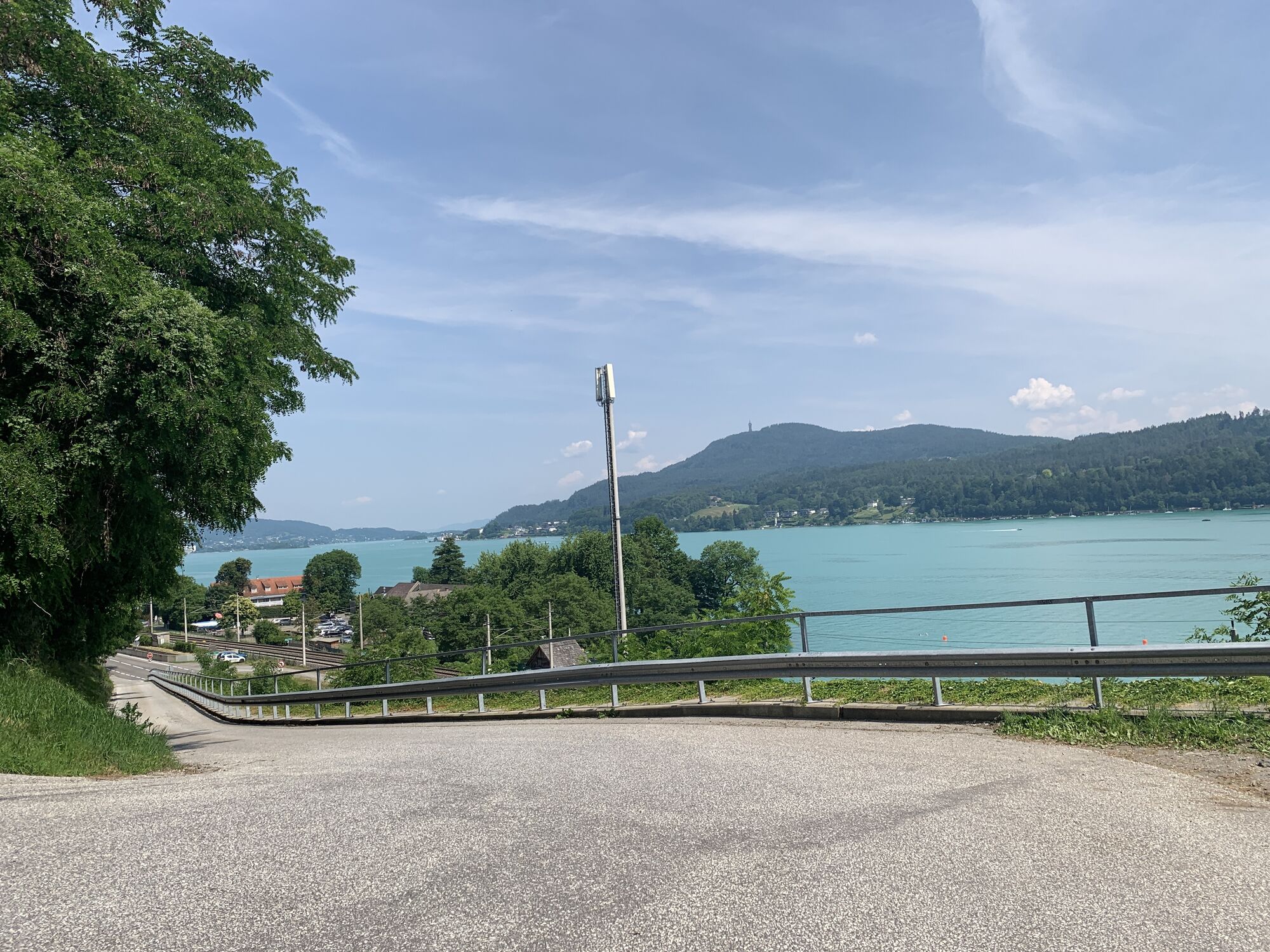
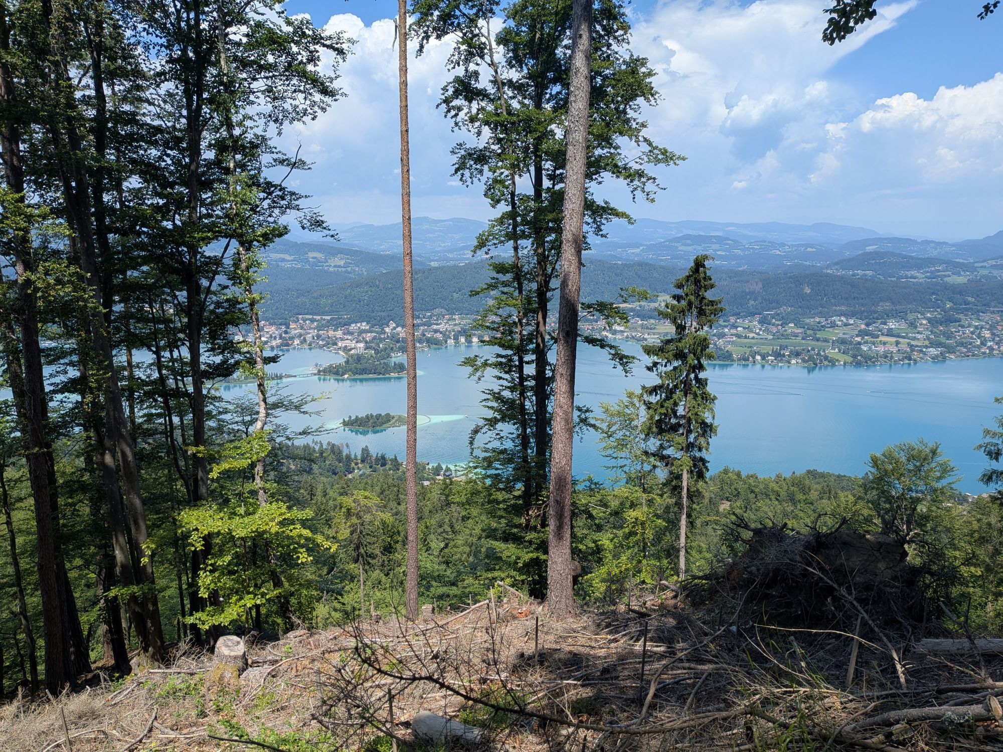
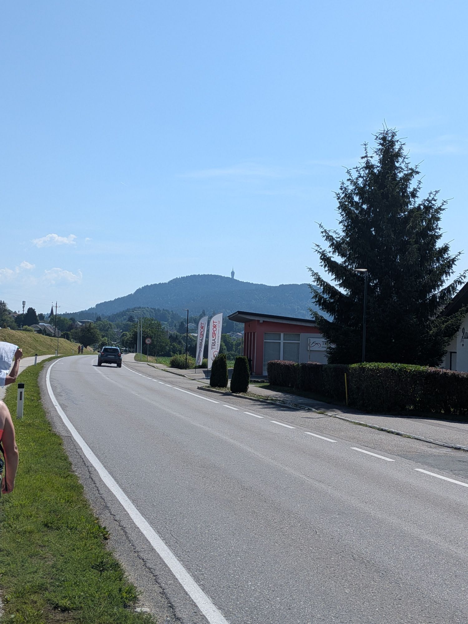
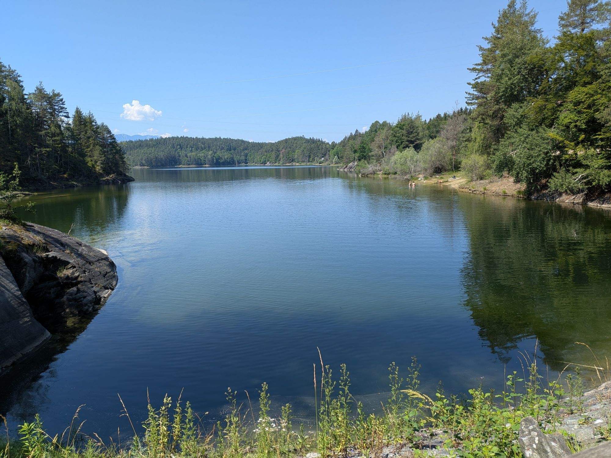
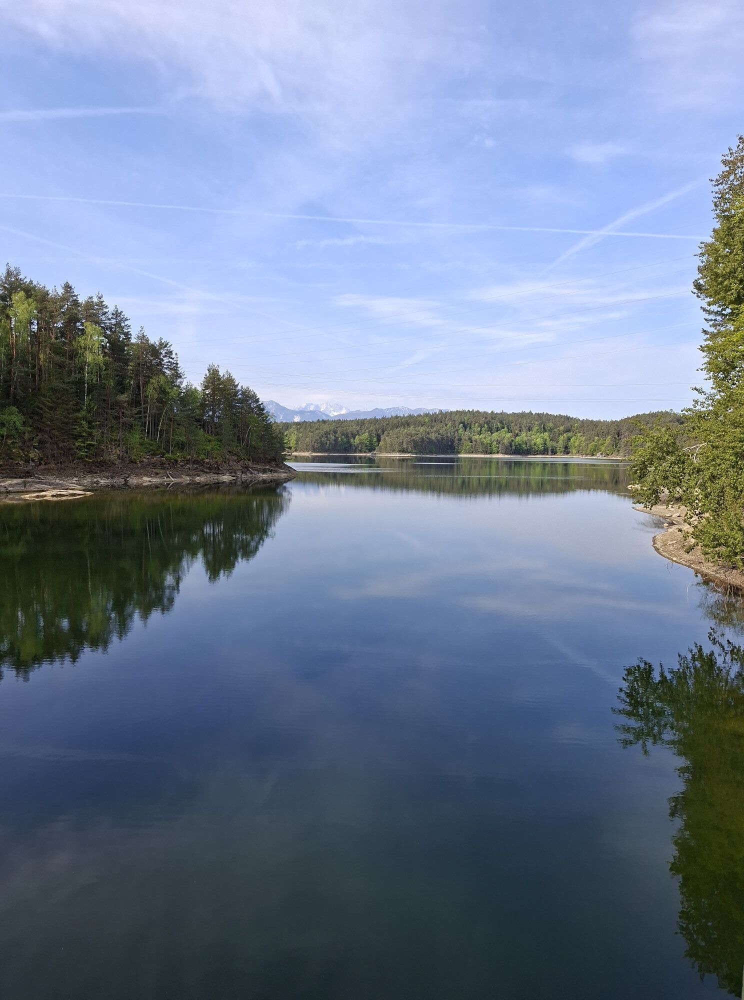
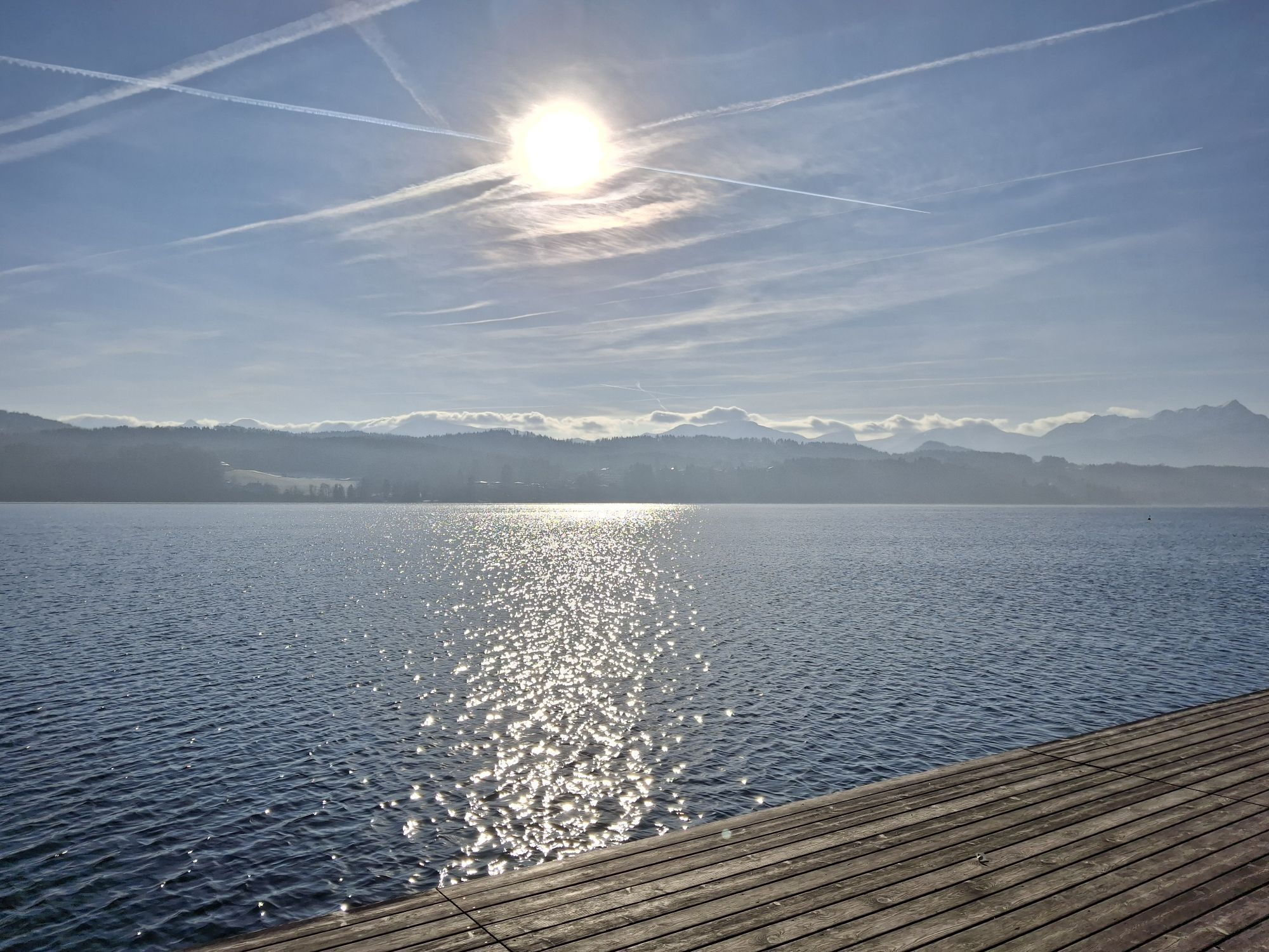
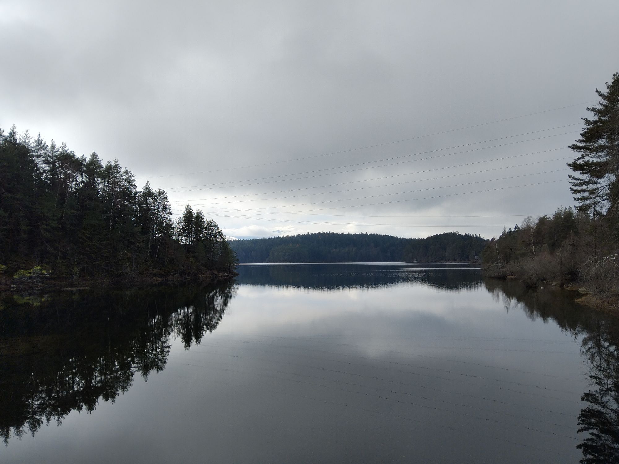
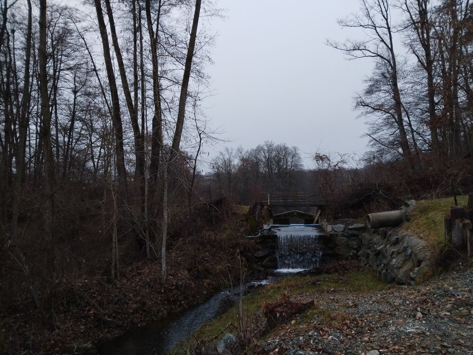
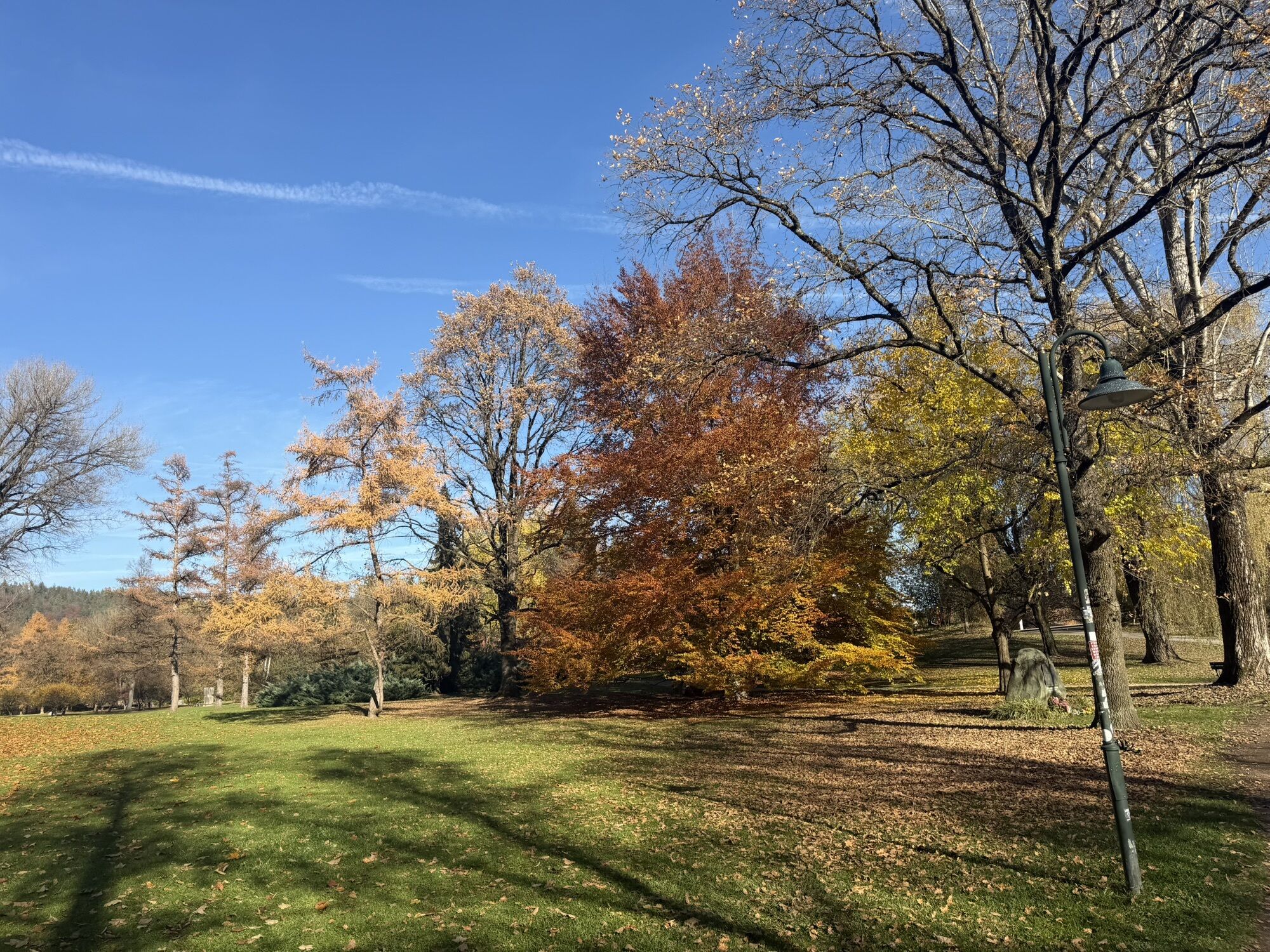
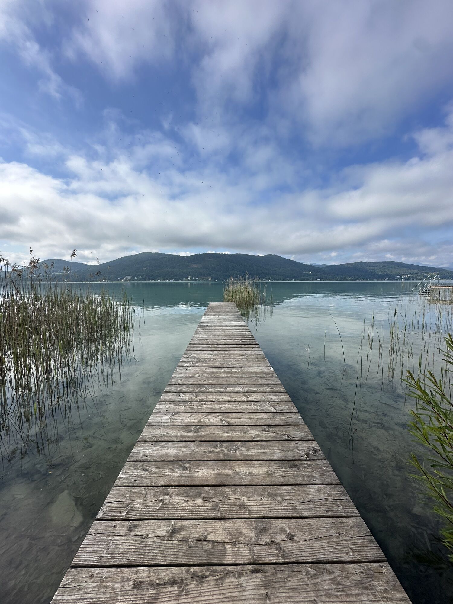
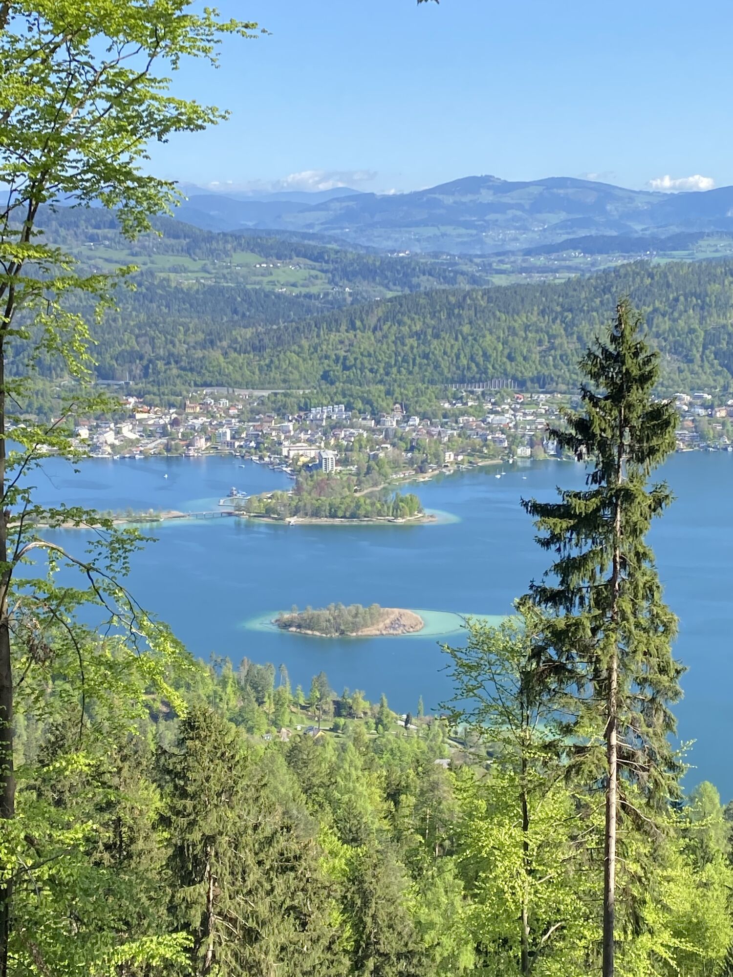
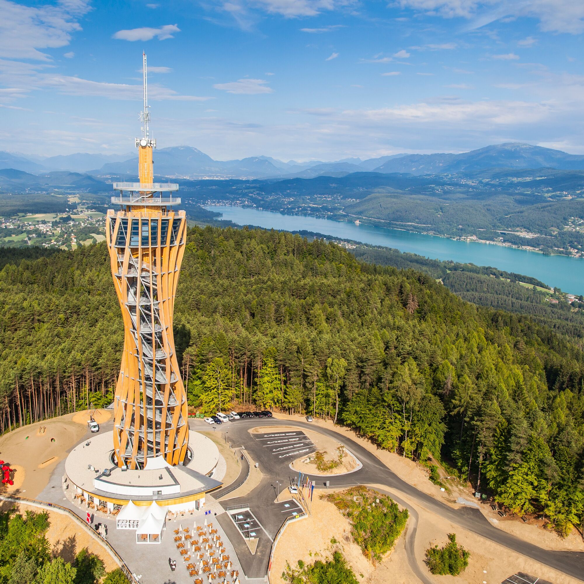
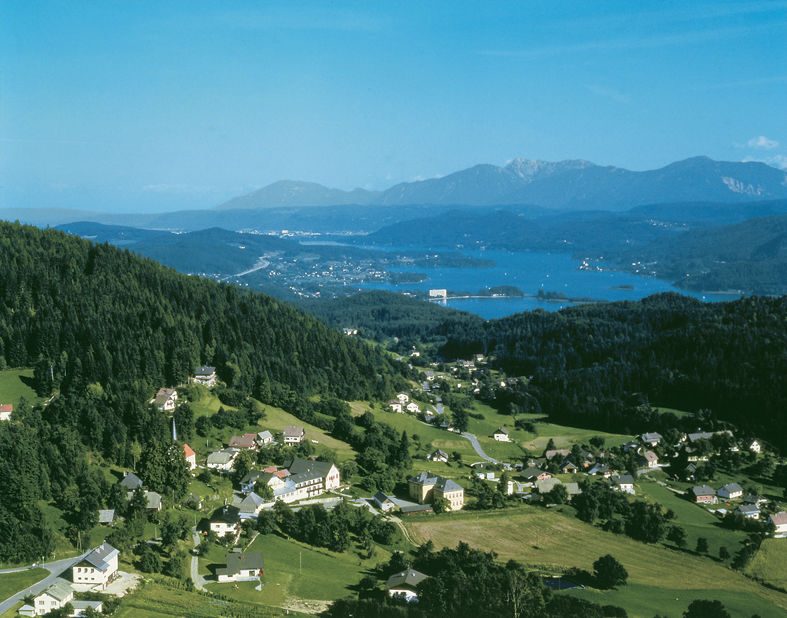
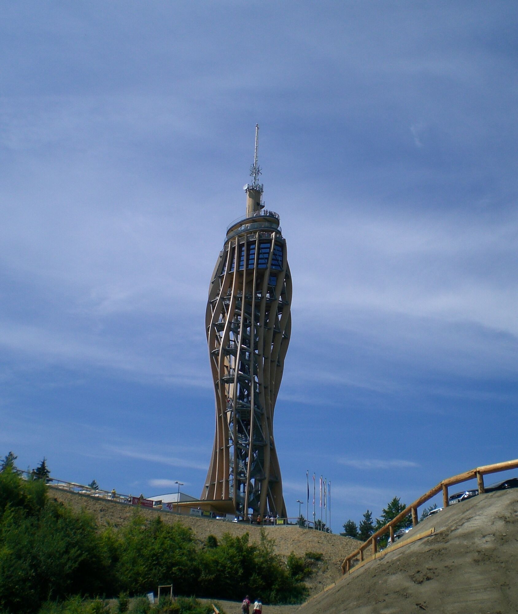
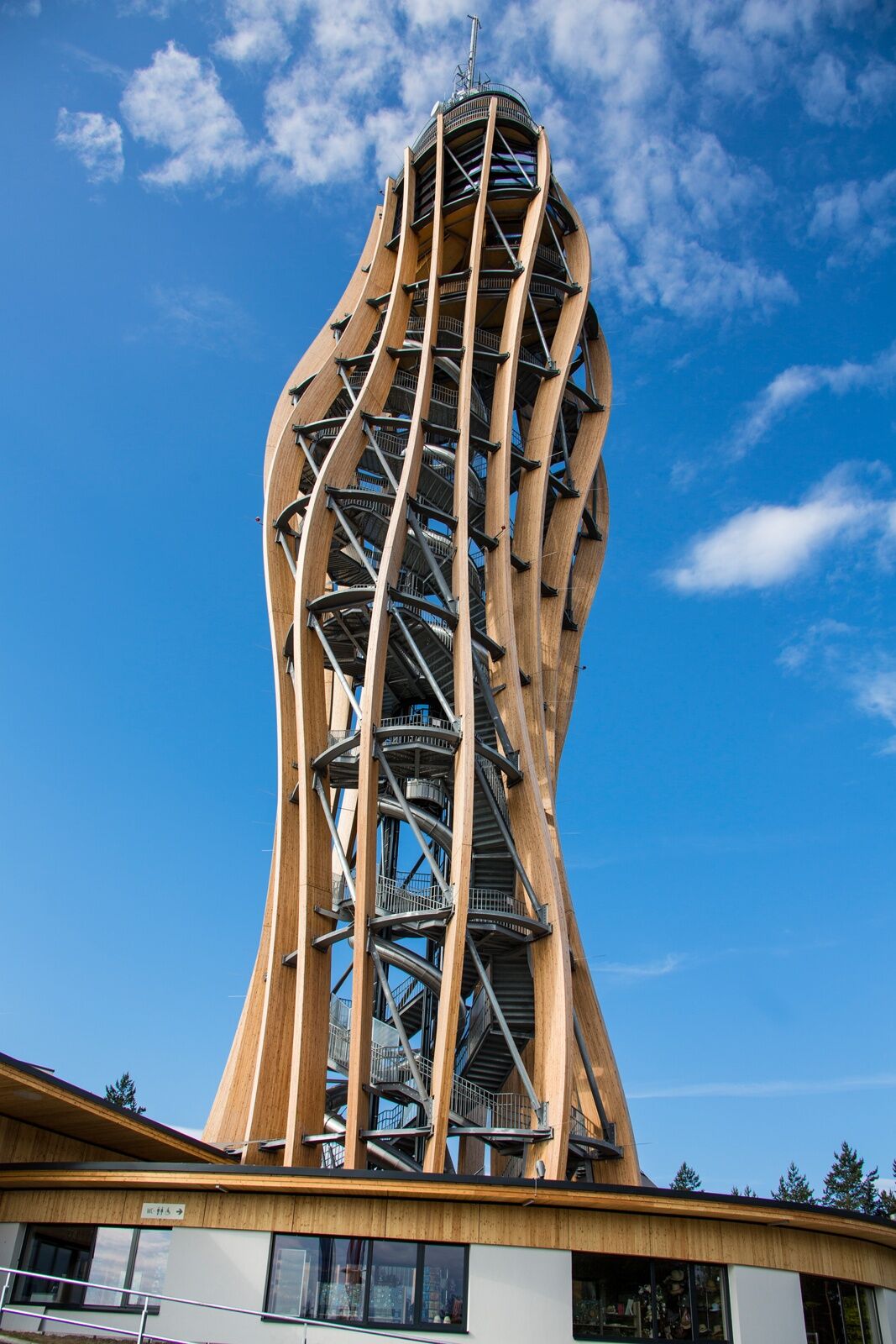
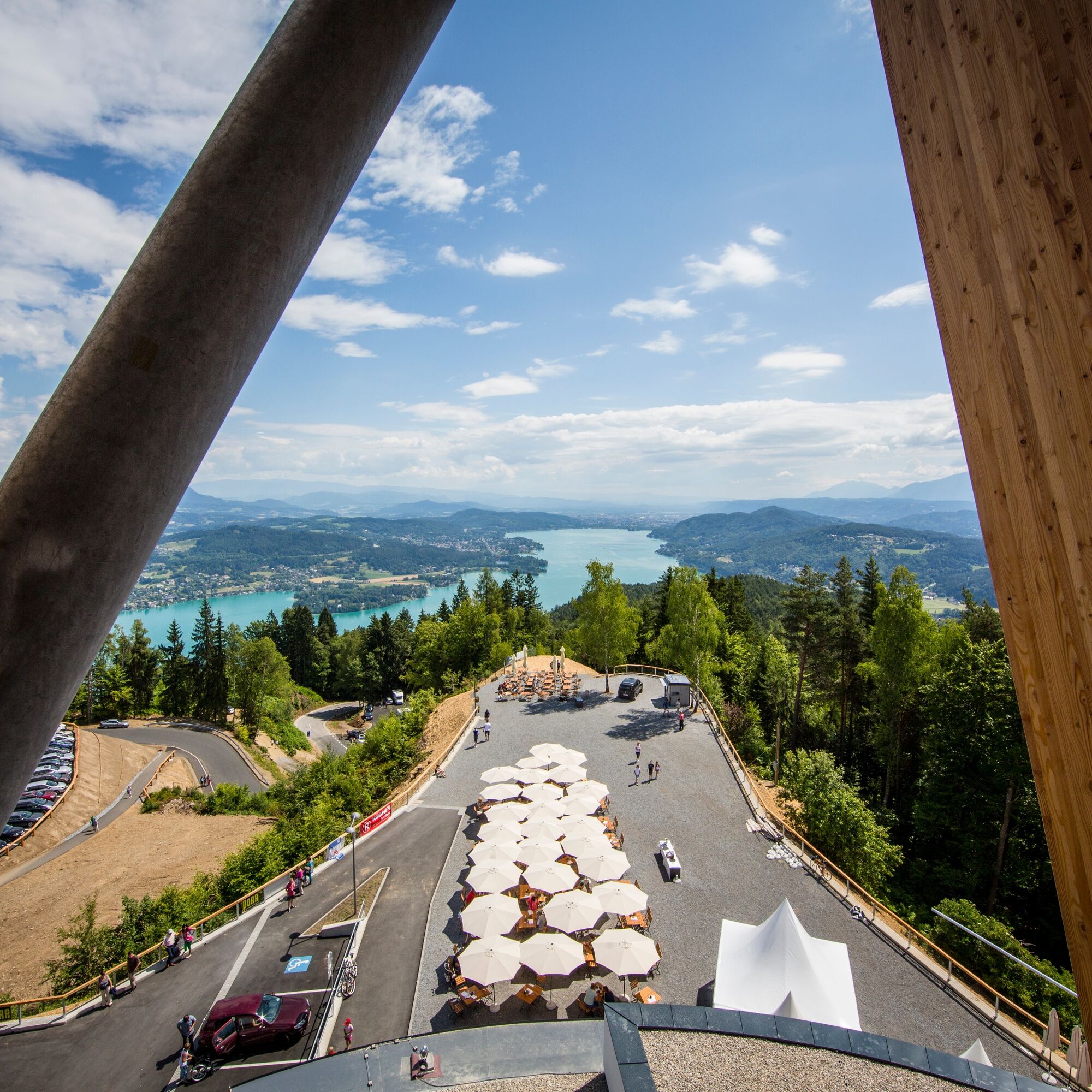
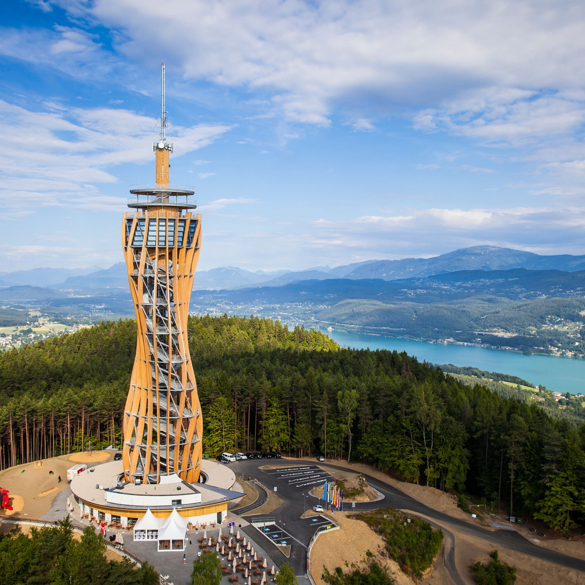
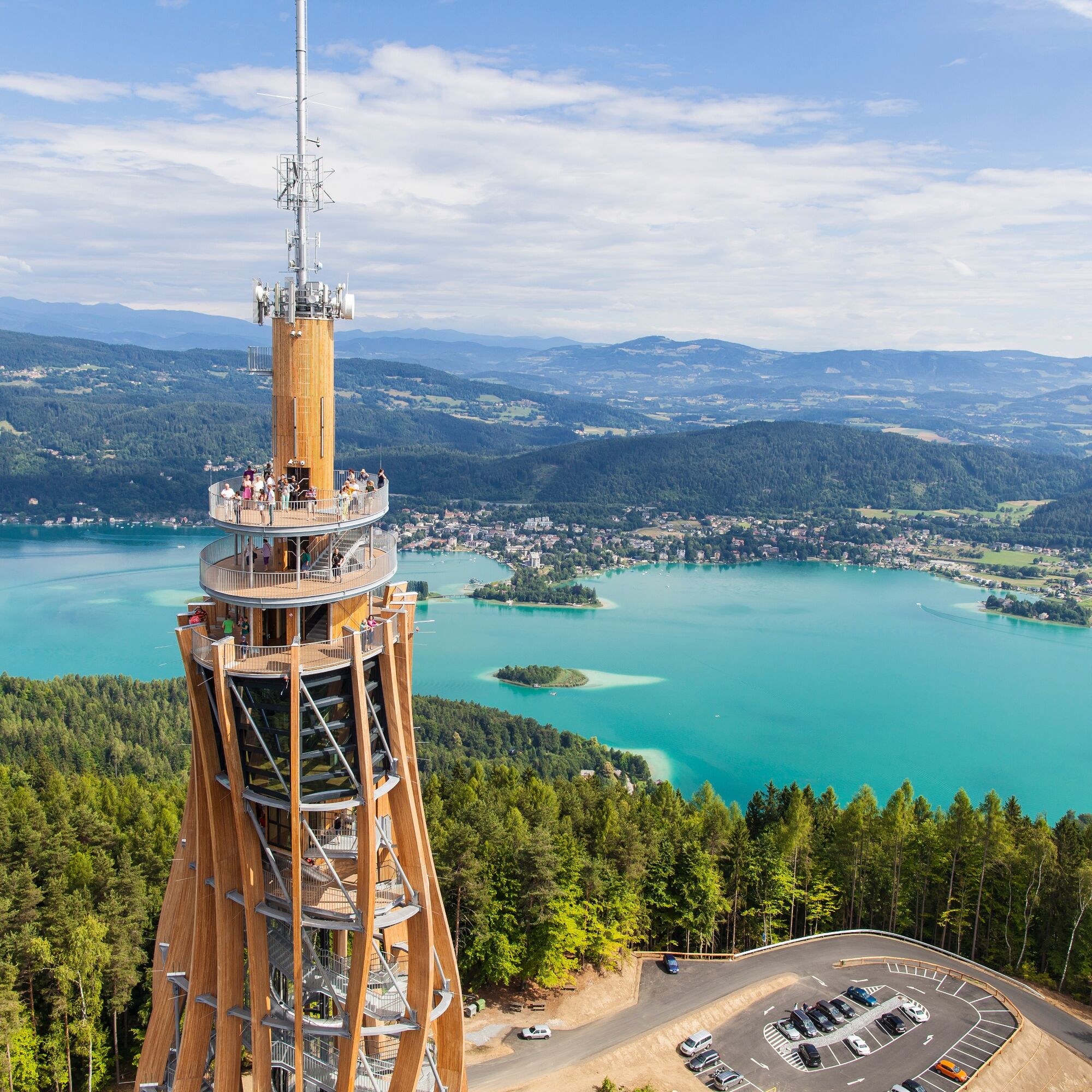
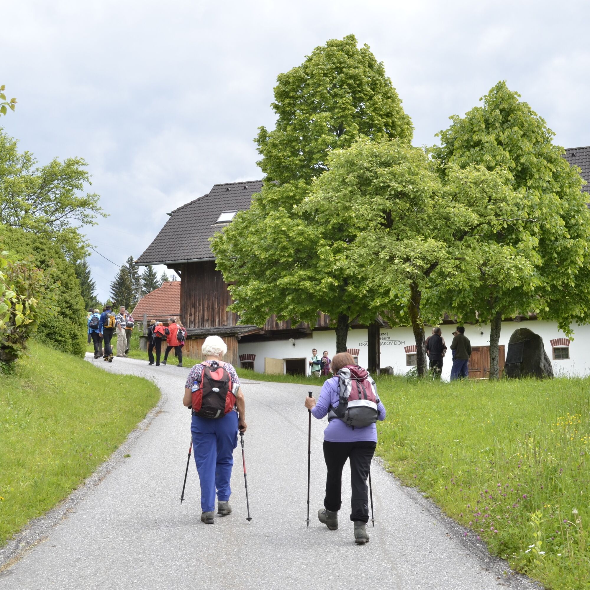
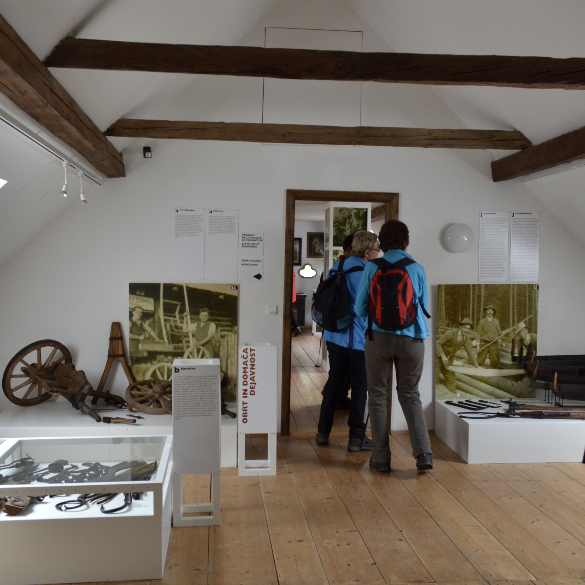
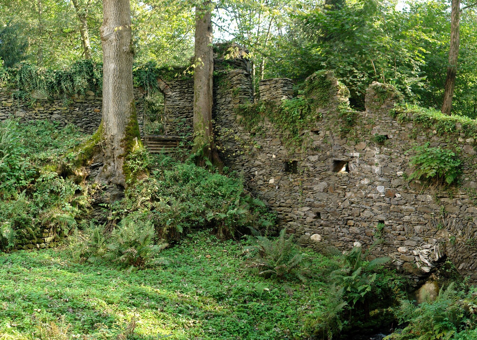
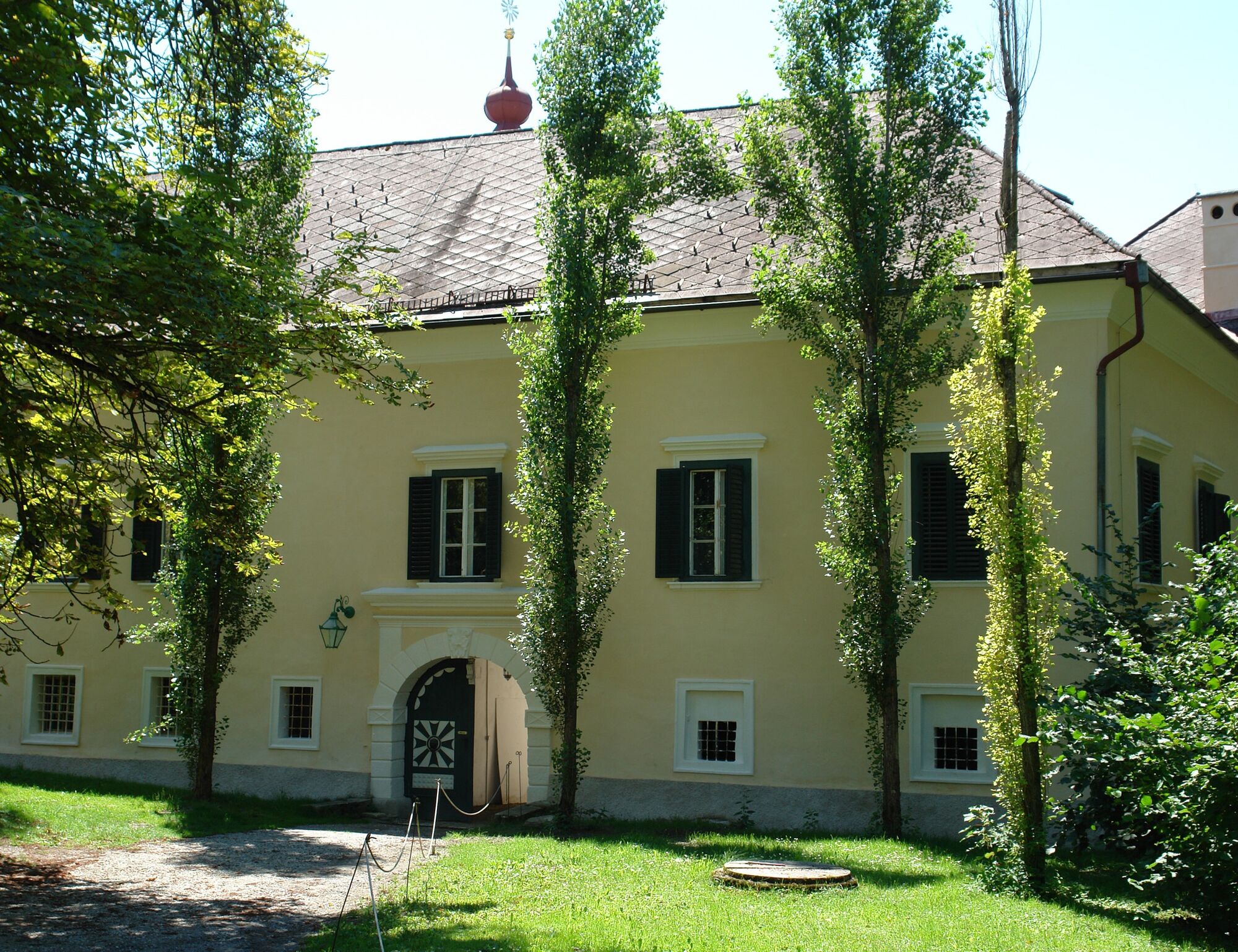
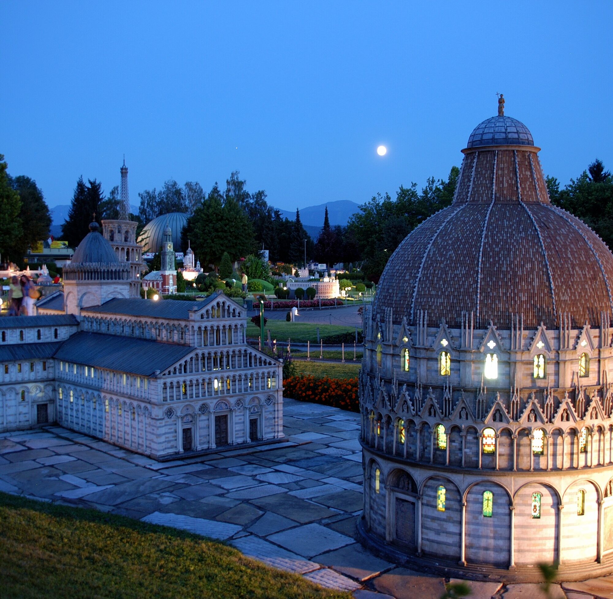
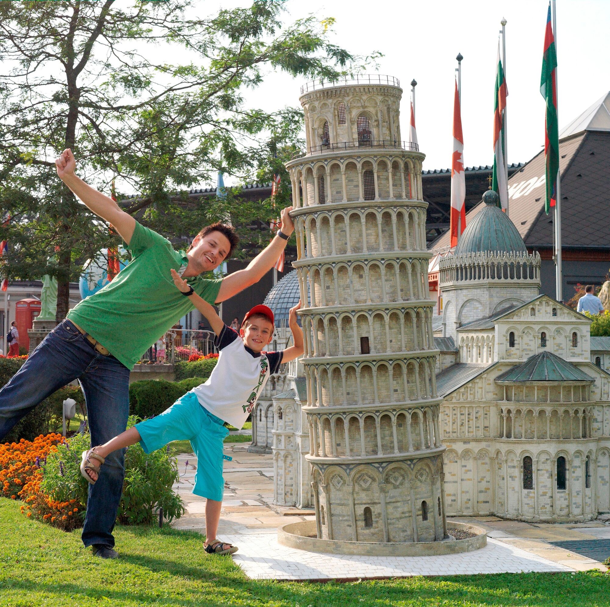
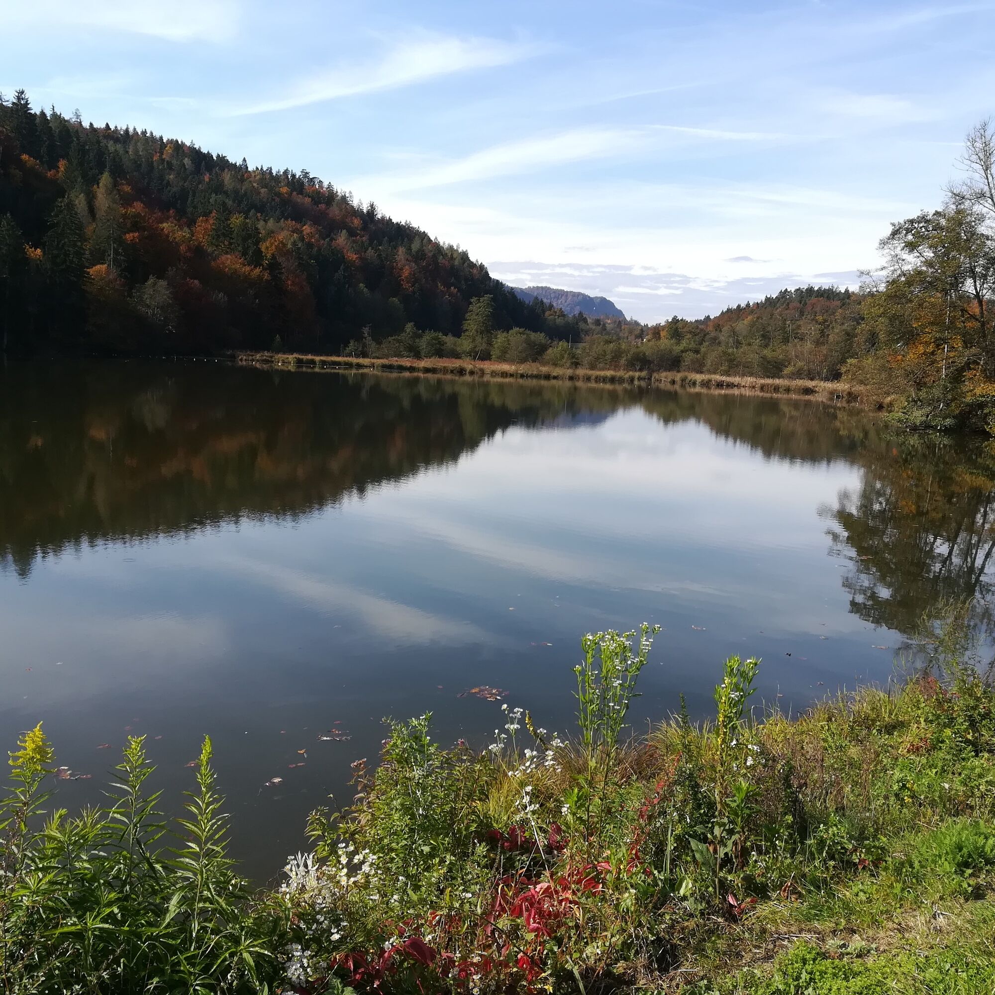
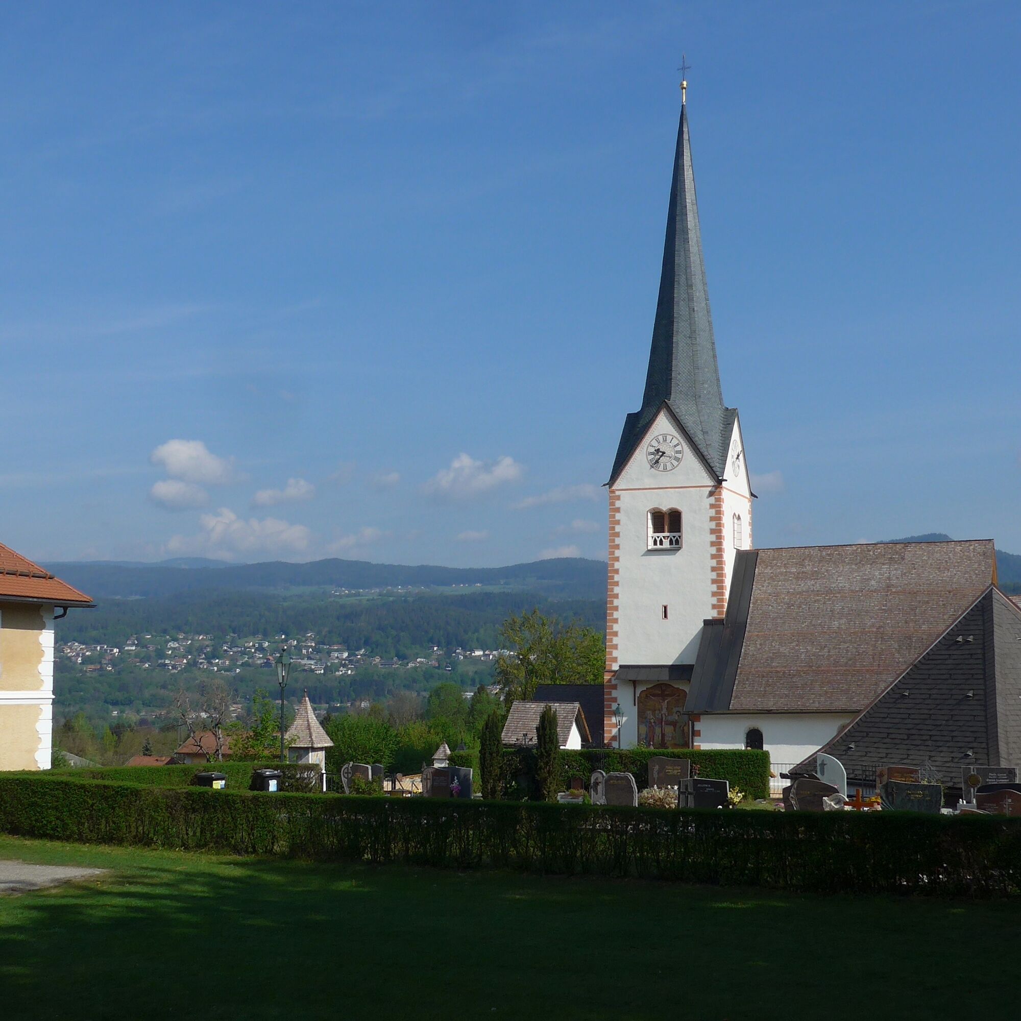
The fact that it's also up and down around Lake Wörthersee is proven by the small side roads where you can circle the lake off the main traffic routes. From Velden through the Keutschach valley, with a detour to the Pyramidenkogel, to Klagenfurt. Until Krumpendorf a short stretch on the main road and then it goes again on a less busy road to Moosburg. From Moosburg to Pörtschach, turn right at Windischberg towards Sekull. In Sekull, we turn left to Lake Wörthersee. After a short stretch on the main road, at Saag it goes again on a side road to Forstsee. A short steep section is followed by a pleasant ascent to Trabenig and further to Kerschdorf. Then it continues to Köstenberg and Oberdorf. Now the descent towards Wernberg begins. On small roads it goes via Damtschach and Sonnental back to Velden. Approximately 75 km and 1,200 meters of elevation. This route also shows the other sides of the Lake Wörthersee region very well: calm and much untouched nature, such as the Keutschach valley, Moosburg, or Köstenberg. Minimundus or the Pyramidenkogel are definitely worth a visit.
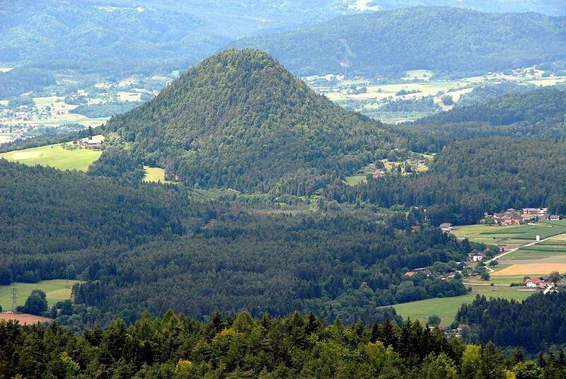
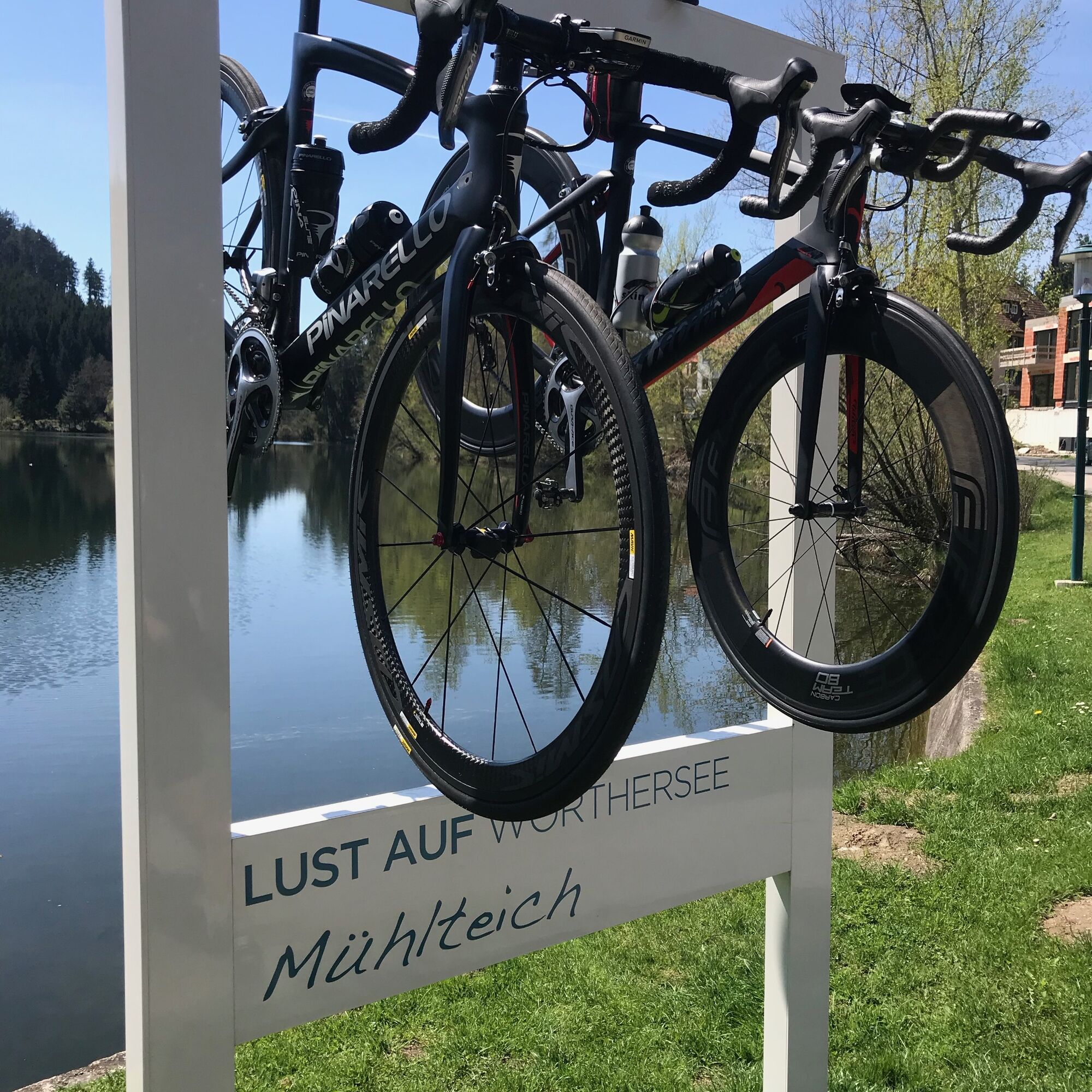
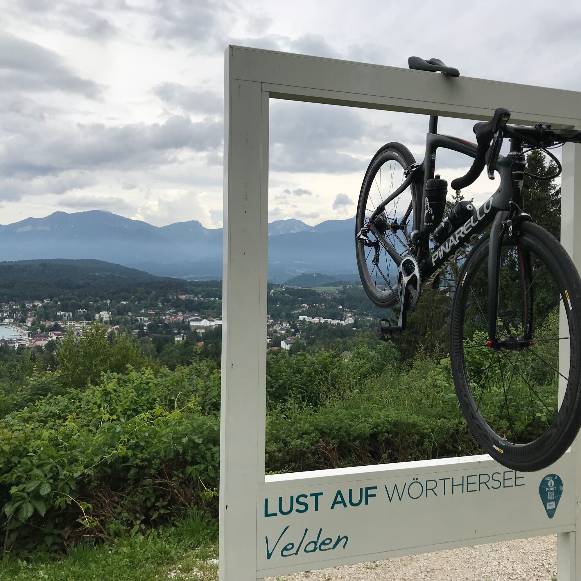
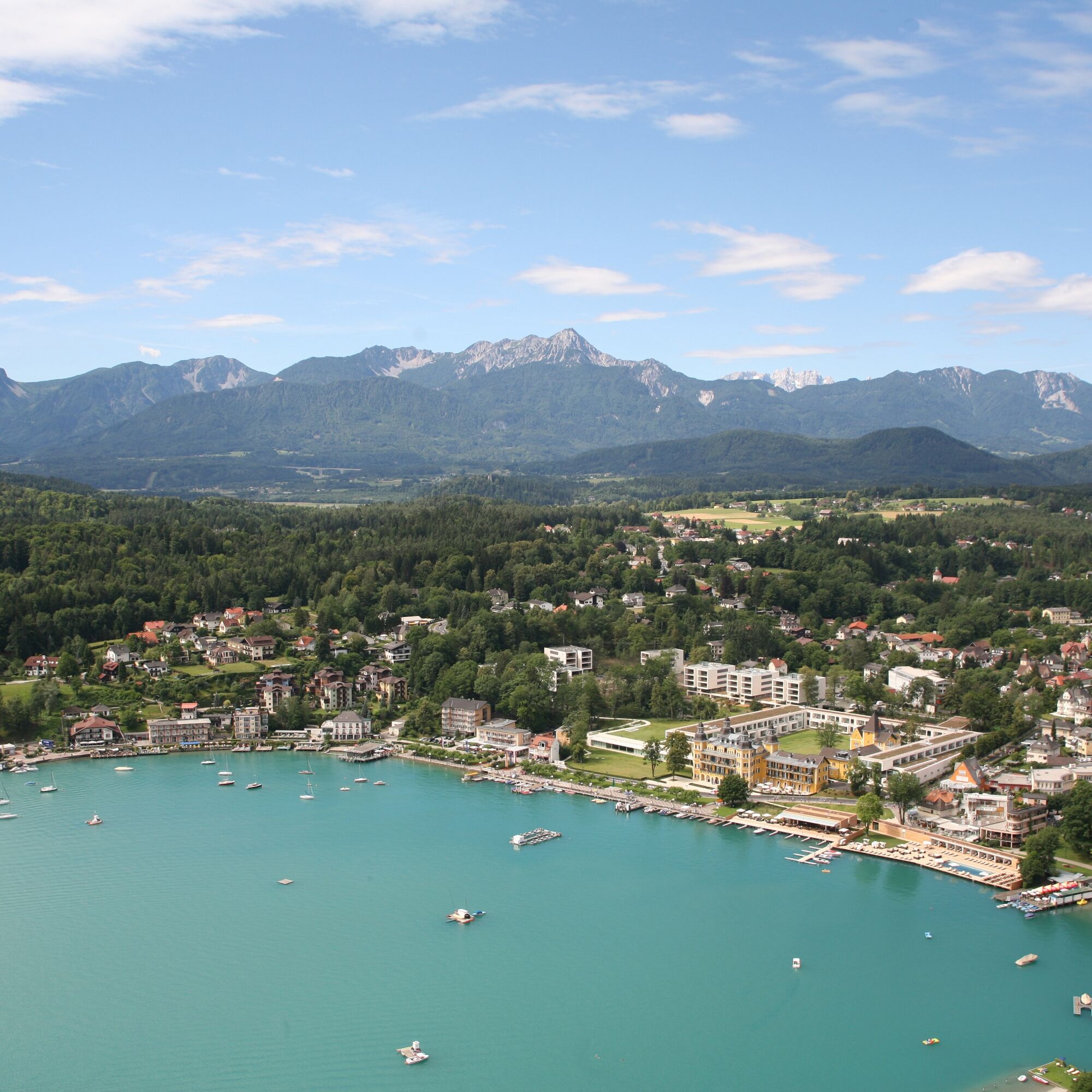
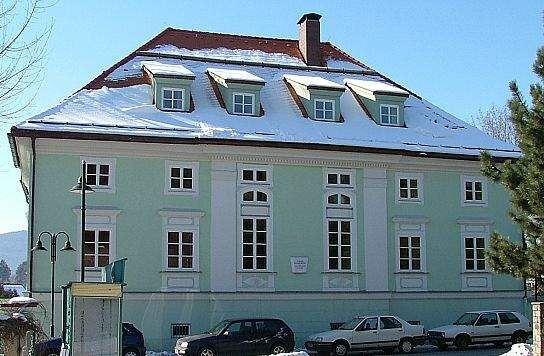


Velden – St. Egyden – Schiefling – Keutschach – Pyramidenkogel – Keutschach – Viktring – Krumpendorf – Moosburg – Windischberg – Sekull – Töschling – Forstsee – Trabenig – Kerschdorf – Köstenberg – Damtschach – Kantnig – Fahrendorf – Velden
Coming to Velden via A2 or B83 from Klagenfurt or Villach
Arrival by train possible
Parking lot Ice Hall Velden, Parking lot Marietta
1
Visit one of the many excursion destinations at Lake Wörthersee

Webové kamery z prehliadky
-
Aussichtsturm Pyramidenkogel
-
Parkhotel Pörtschach
-
Velden - Bootswerft Schmalzl
-
Hotel Schloss Seefels
-
Klagenfurt am Wörthersee / Neuer Platz
-
Ossiach/Ossiachersee
-
Ossiach/Ossiachersee
-
Ossiach/Ossiachersee
-
Ossiach/Ossiachersee
-
Ossiach/Ossiachersee
-
Ossiach/Ossiachersee
-
Wörthersee / Saag
-
Klagenfurt am Wörthersee
-
Strandbad Klagenfurt
-
Schloss Loretto
-
Aussichtsturm Pyramidenkogel
-
Velden - Barry Memle
-
Velden - Barry Memle
-
Klagenfurt am Wörthersee - Domplatz
-
Köttmannsdorf - Plöschenberg
-
Jilly Beach
-
Hotel SeeRose
-
Velden Kurpark / Karawankenplatz
-
Strandpark Velden
-
Golf Velden am Wörthersee
-
Hotel Post Wrann
-
Pörtschach Süd
-
Klagenfurt Sternwarte
-
Falkensteiner Schlosshotel Velden
-
Observation Tower - Pyramidenkogel
-
Strandbad Klagenfurt
-
Werzers Hotel Resort
-
Kathreinkogel - Schiefling am Wörthersee
-
Bodensdorf am Ossiacher See
-
Bodensdorf am Ossiacher See
Získajte prehľad
Vždy naživo na mieste s viac ako 9 500 webovými kamerami. bergfex Ako používateľ Pro si teraz môžete pozrieť príslušné webové kamery pre mnohé zájazdy v aplikácii zájazdy z. Môžete si tak priamo prezerať aktuálne podmienky.
Obľúbené výlety v okolí
-
5,0
Wörthersee EXTREM
ťažkéTuristika 60,1 km -
4,6
Pyramidenkogel path Maria Wörth
strednáTuristika 10,8 km -
4,5
Hoher Gallin route
strednáTuristika 7,09 km -
4,5
Cycling around Lake Wörthersee – leisurely cycling between turquoise blue water and fantastic views
strednáCyklistika 48,2 km -
4,4
Lake Wörthersee Circular Route
strednáCyklistika 41,2 km -
4,7
Zillhöhe
strednáBeh 7,94 km -
4,7
Vierbergelauf
strednáPútnická trasa 47,6 km -
4,6
Pyramidenkogelweg Schiefling
strednáTuristika 8,41 km -
4,5
Ulrichsberg
svetloTuristika 5,60 km -
4,0
Singerberg, über die Südseite
strednáTuristika 7,87 km

Turistika a stopovanie


Nenechajte si ujsť ponuky a inšpiráciu na ďalšiu dovolenku
Vaša e-mailová adresa bol pridaný do poštového zoznamu.





