






SW_N11 Obervellach-Radnig
The ideal route, near the district capital Hermagor, to gain your first snowshoeing experience in the winter forest landscape towards Radnigforst.

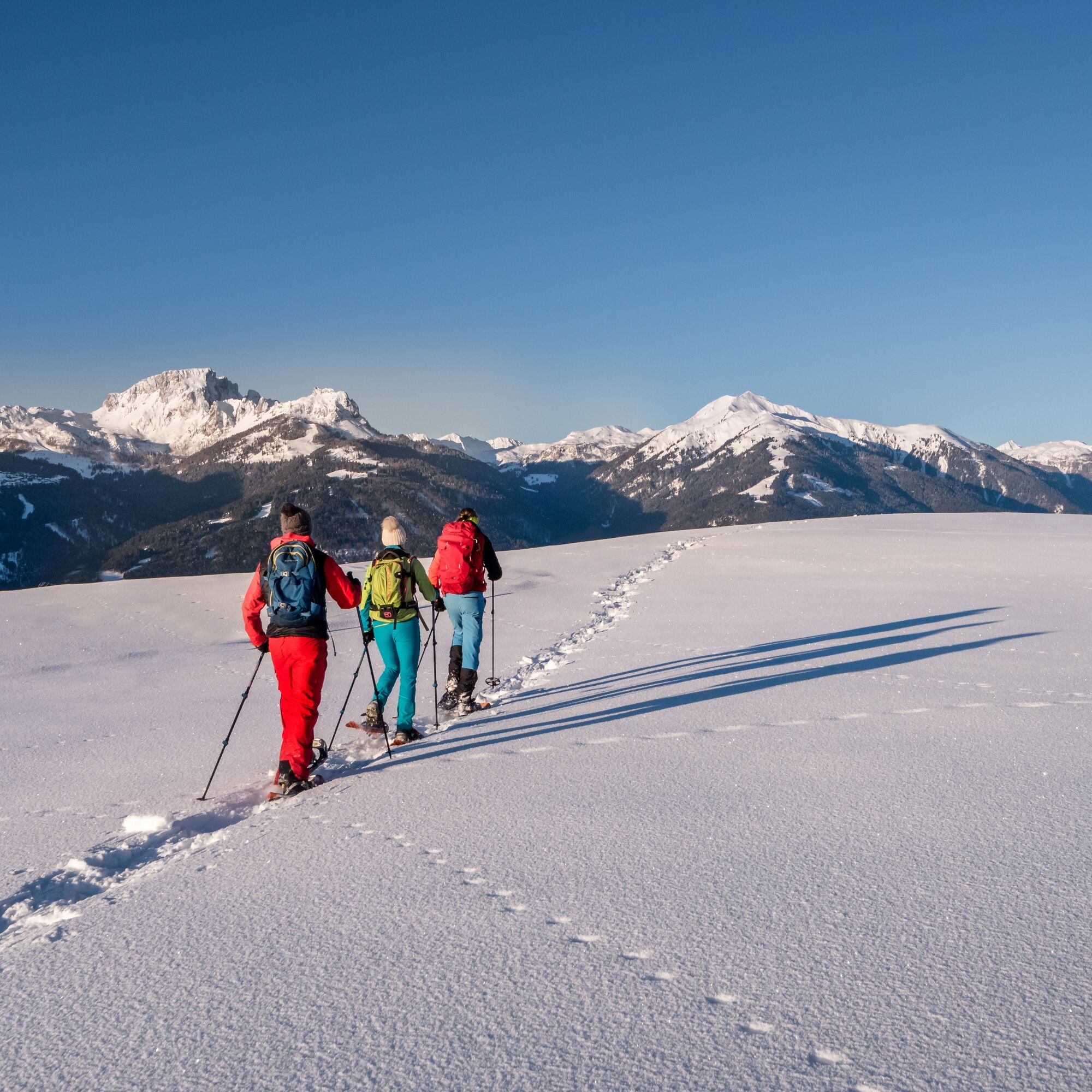

Above the Vella stream, at the village end of Obervellach, the snowshoe route begins (the exact start also depends on snow conditions).
You mostly walk along the path through the snowy forests, moderately ascending towards Radnigforst.
Afterwards, you reach a larger open area at the village end of Radnig
The indicated time only covers the ascent time, not the descent/return (the descent is done along the same route as the ascent).
Áno
Awareness for nature – landowners – your health... and safety on the mountain have the highest priority on your route and the related route planning!
Therefore, before every ski tour, inform yourself about the rules of conduct - Safety on the Mountain, as well as the current snow and avalanche reports Carinthia Avalanche Warning Service and the weather.
Waste disposal:
Waste is sometimes unavoidable - but it has no place in nature and must be properly disposed of (preferably in the valley or at home).
Emergency numbers:
European emergency number: 112 (accessible in every available network)
Mountain rescue Austria: 140
Coming from Hermagor or Villach via the B111 (Gailtal federal road) to Obervellach.
From Hermagor you can then reach Obervellach by bus towards Villach.
Similarly, from Villach you can reach Obervellach by bus towards Hermagor.
From Obervellach, the route start can be reached on foot in about 15 minutes.
Details at - Nassfeld Mobility Info as well as Kärntner Linien Route Planner
Please observe any parking notices from the respective landowners as well as the applicable legal regulations
You can find this and many more infos at - Route tips and provider info
Places to eat:
- La Stube (Obervellach village center)
- as well as a variety of year-round open places to eat in the village center of Hermagor and the surrounding villages (Untervellach...) - details at Service A-Z.
Získajte prehľad
Vždy naživo na mieste s viac ako 9 500 webovými kamerami. bergfex Ako používateľ Pro si teraz môžete pozrieť príslušné webové kamery pre mnohé zájazdy v aplikácii zájazdy z. Môžete si tak priamo prezerať aktuálne podmienky.
Obľúbené výlety v okolí
-
4,9
W10 - Large lake round - Weissensee
ťažkéMountainbike 31,5 km -
4,8
RW_N9 Weißenbachklamm
strednáTuristika 7,49 km -
4,8
Parkplatz Seetal - STAFF und retour
strednáTuristika 13,2 km -
4,7
W5 - Naggler Alm Round Weissensee
strednáMountainbike 15,8 km -
4,9
Weissensee Ost- nach Westufer
svetloTuristika 10,2 km -
4,4
WY_W2 hike to the Alm behind the Brunn
strednáZimná turistika 3,04 km -
5,0
Bodenalm - Ostufer - mit dem Schiff zurück
Mountainbike 19,1 km -
4,9
Weißenbachklamm
ťažkéTuristika 5,80 km -
4,2
Slow Trail Pressegger See RW_N16
svetloTuristika 5,78 km -
4,2
Malurch Nassfeld
strednáTuristika 9,60 km
Turistika a stopovanie


Nenechajte si ujsť ponuky a inšpiráciu na ďalšiu dovolenku
Vaša e-mailová adresa bol pridaný do poštového zoznamu.





