






Striedenkopf 2,600 m above Fraganter Schutzhaus
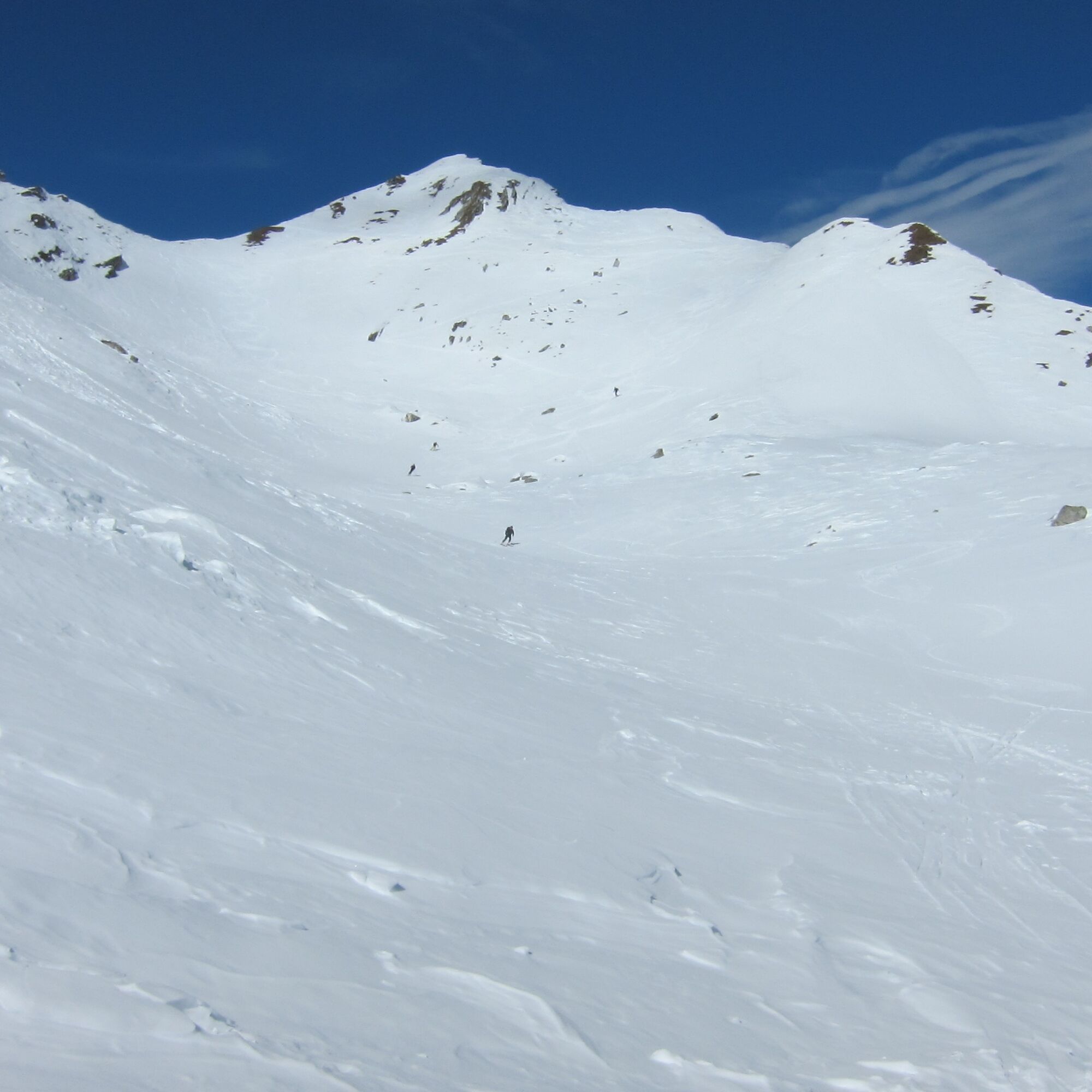
Beautiful, varied route to the summit visible well from the hut, which is often confused with Magernigspitze. Best in firn conditions or on cold mid-winter days.
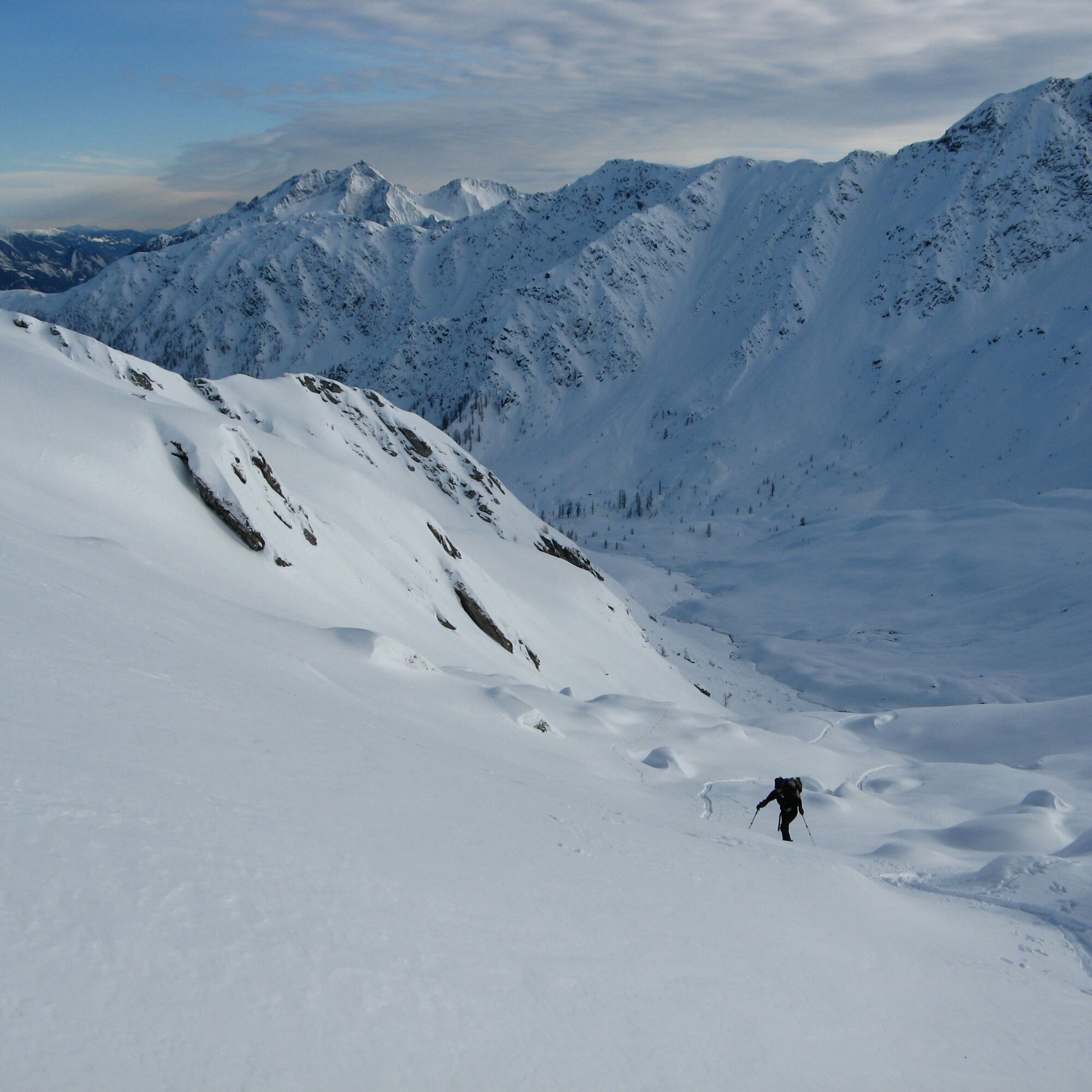

From the parking lot over the bridge, immediately left, then follow the signs and markings over forest roads and skid trails towards Fraganter Schutzhaus, 750 m altitude difference, approx. 2 hours.
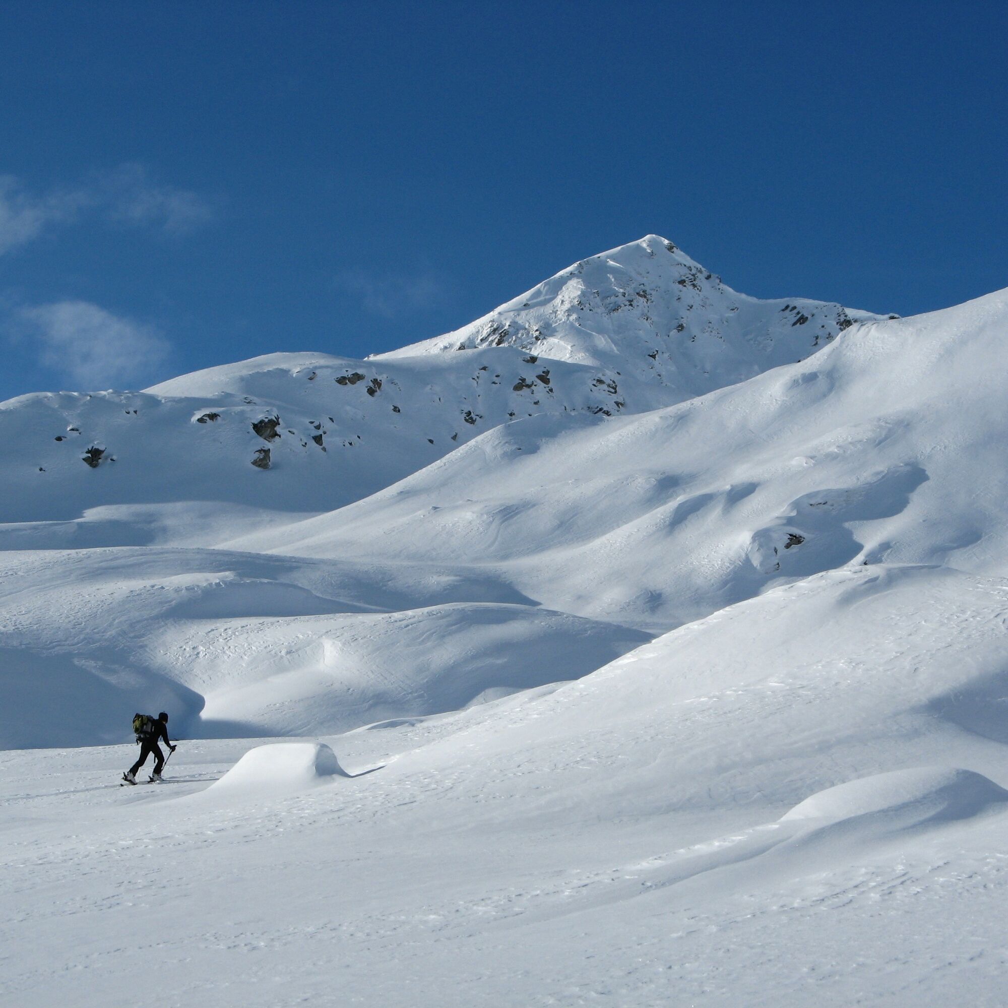
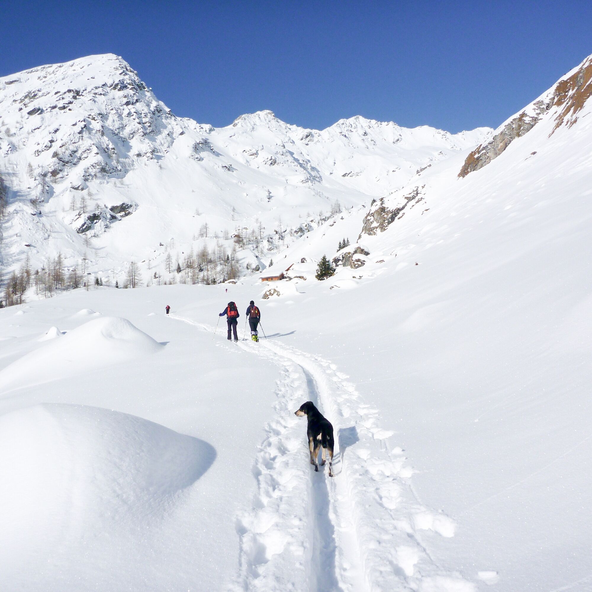
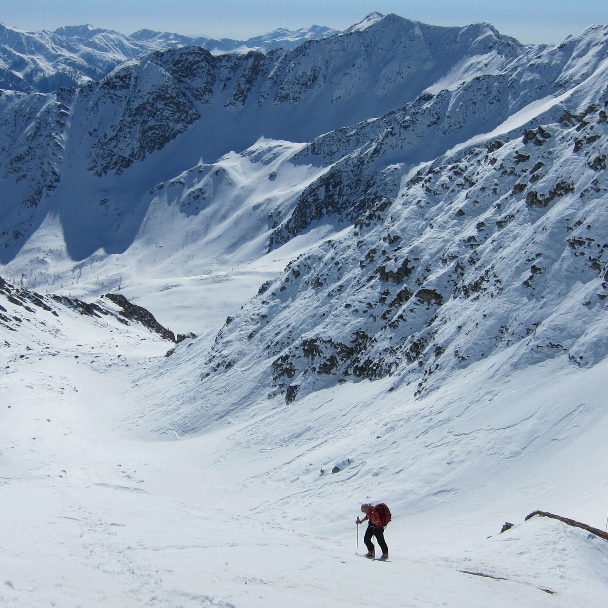
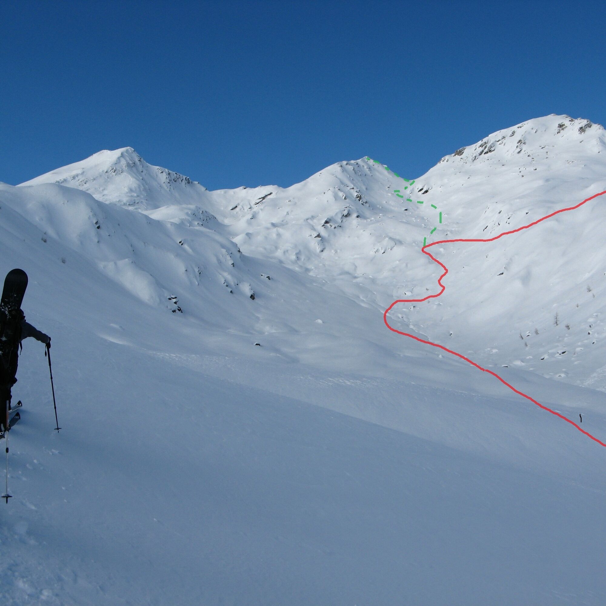
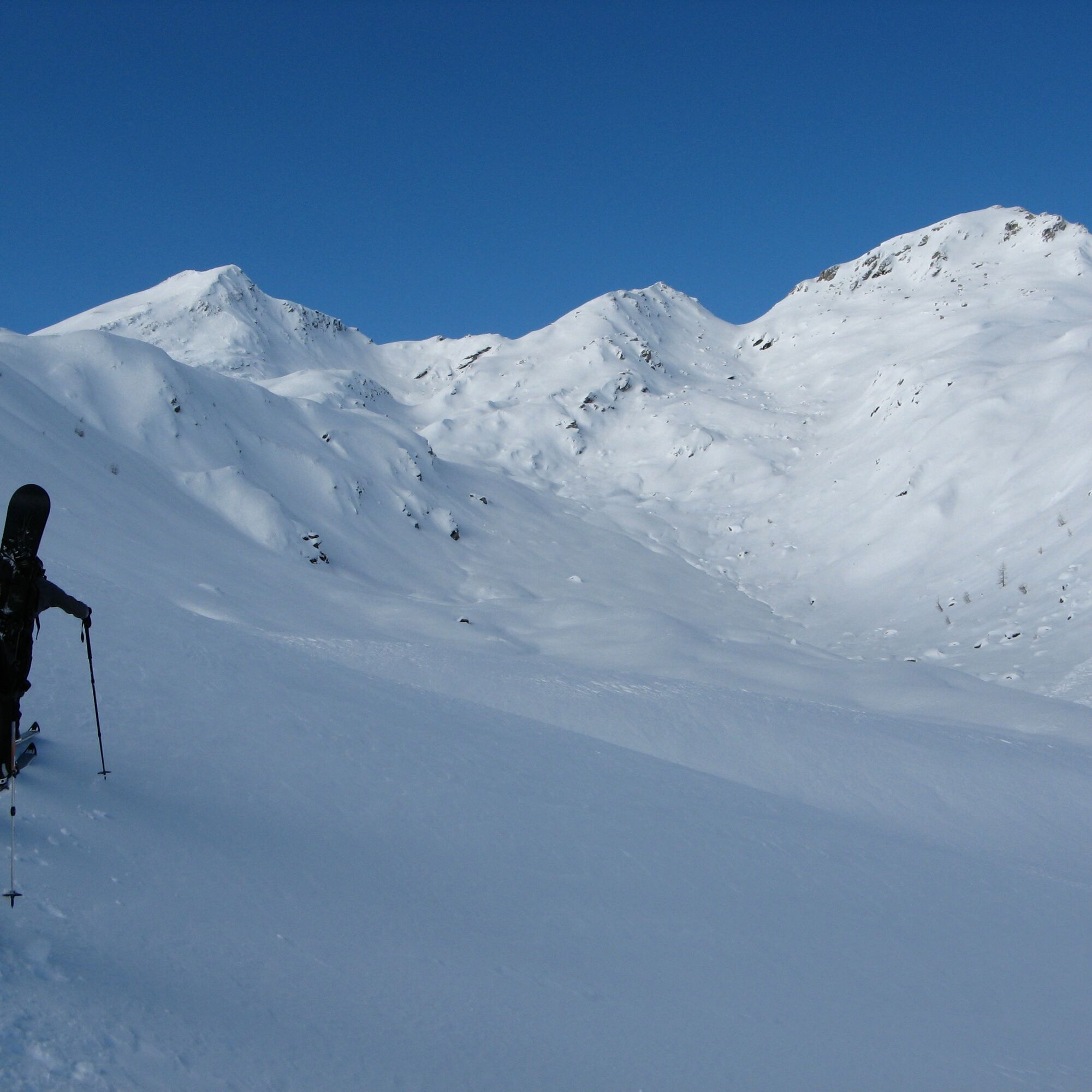
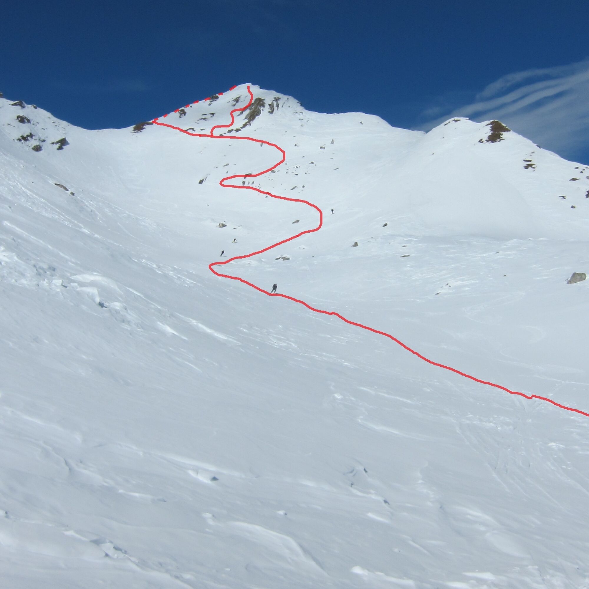
From the hut, briefly go down the forest road, leave the road at the first curve and ascend over open, flat terrain towards the visible huts, cross a stream once, climb to the left behind the hut until you meet the markings of the summer path. Follow this through sparse larch forest, past a signpost towards a stream, cross it soon and now ascend increasingly steeply through the larch stand; we are still on the summer path. In the upper part of the larch stand, it is best not to follow the switchbacks straight up but to continue slightly ascending on the left until you leave the forest. Now leave the small plateau to the right and briefly descend at the signpost to cross the stream. We now reach the Melenböden. Now do not follow the route towards Sadnigscharte but always ascend slightly left of the lowest point towards Zoppspitze / Hirtenkopf. The large white mountain to our right is not Striedenkopf, but Ofenspitze. Now ascend steeper in a few switchbacks to a distinctive, flat area (approx. 2350 m), then leave this to the right over a short, steep rise (Keep distances!) and continue ascending keeping right over nicely varied terrain; here we will soon see the summit for the first time. It is also best to overcome the next steep rise on the right part and then follow the small valley below the summit structure. The summit itself can be climbed first on the right flank, then with a traverse to the left to the ridge and over it, or directly if conditions are very good.
Áno
Typical ski touring and avalanche transceiver equipment
Not in case of critical avalanche danger
From Spittal an der Drau or Winklern through the Mölltal to Flattach. Then north towards the Mölltal Glacier to the entrance of Innerfragant. Park right before the bridge at the entrance.
Parking lot (1,060 m) at the entrance of Innerfragant, right before the bridge (not at the garbage bins!)
Respect your limits! 5 rules for responsible ski touring:
Where available, stay on marked routes; pay close attention to signs as well as protection, conservation, and restricted areas. Consider wildlife: avoid feeding areas and immediately and calmly retreat upon sighting an animal. Avoid young tree plantations (under three meters), ski edges can cause great damage to the trees. Do not leave any waste behind. Avoid noise.Important for ski touring: Prohibition of riding through young forest and reforestation areas
Due to the ski-technical fact that the ascent to the hut is not so interesting and the cozy Fraganter Schutzhaus, it is recommended to stay overnight at the hut and undertake several ski tours in the beautiful ski touring area.
Získajte prehľad
Vždy naživo na mieste s viac ako 9 500 webovými kamerami. bergfex Ako používateľ Pro si teraz môžete pozrieť príslušné webové kamery pre mnohé zájazdy v aplikácii zájazdy z. Môžete si tak priamo prezerať aktuálne podmienky.


Obľúbené výlety v okolí
-
4,5
Groppenstein Gorge Obervellach
strednáTuristika 2,99 km -
5,0
Silberpfennig, Salzburger Land/Österreich
strednáTuristika 13,8 km -
4,8
Hohe Sonnblick Up
ťažkéTuristika 9,14 km -
4,0
Raggaschlucht
strednáTuristika 3,44 km -
4,5
Niedersachsenhaus
strednáTuristika 4,84 km -
4,9
Schareck über Ostgrat
ťažkéVysoké turné 13,3 km -
4,8
Rifflscharte - Kolmkarscharte - Bockhartscharte - Sportgastein
strednáTuristika 13,5 km -
4,8
Hike to the Wangenitzsee Hut
strednáTuristika 13,9 km -
4,6
Vorderer Geißelkopf
strednáVysoké turné 19,1 km -
4,2
The Glockner cycle route R8
strednáCyklistika 89,7 km
Turistika a stopovanie


Nenechajte si ujsť ponuky a inšpiráciu na ďalšiu dovolenku
Vaša e-mailová adresa bol pridaný do poštového zoznamu.





