







Roßschartenkopf

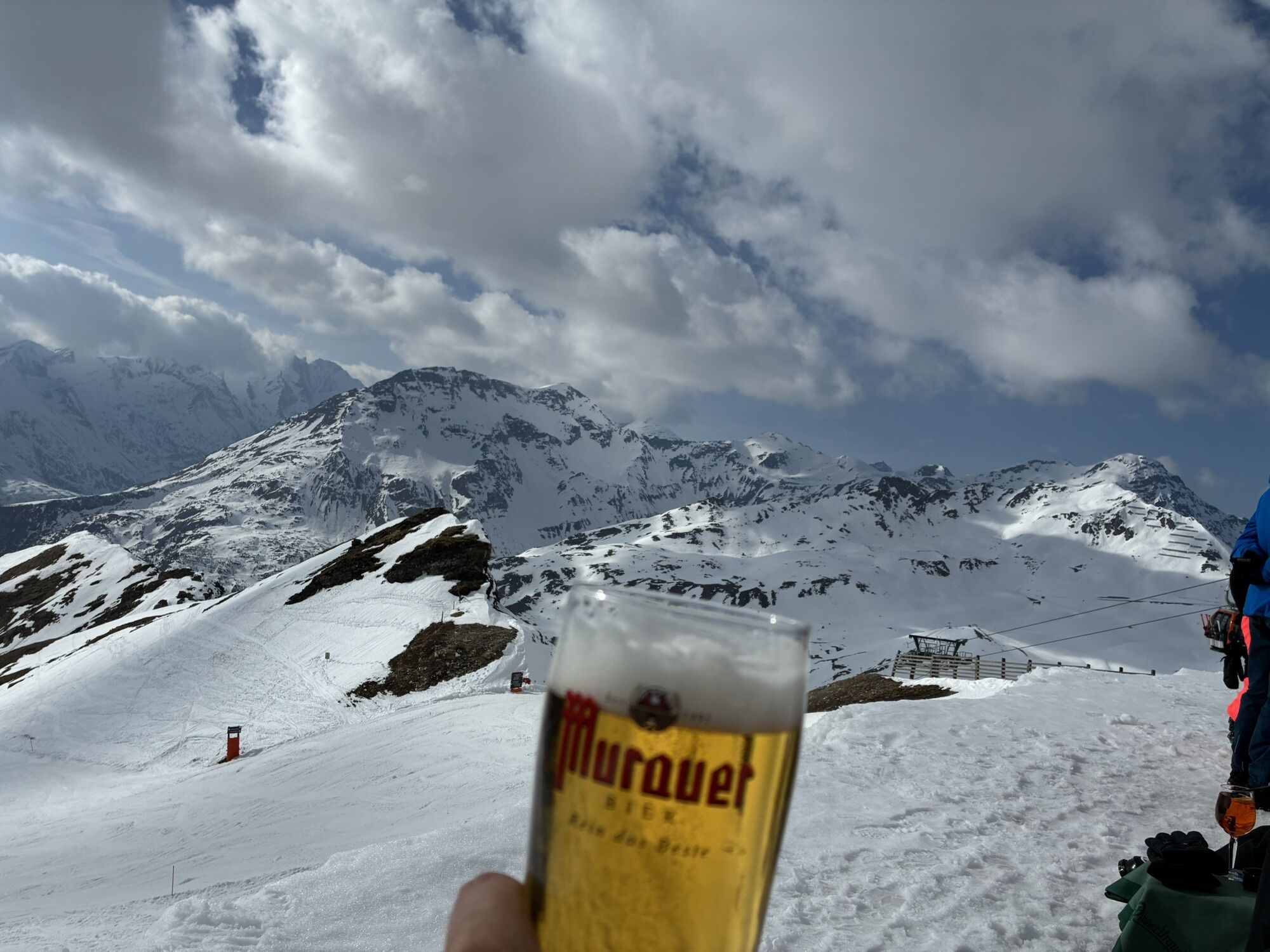
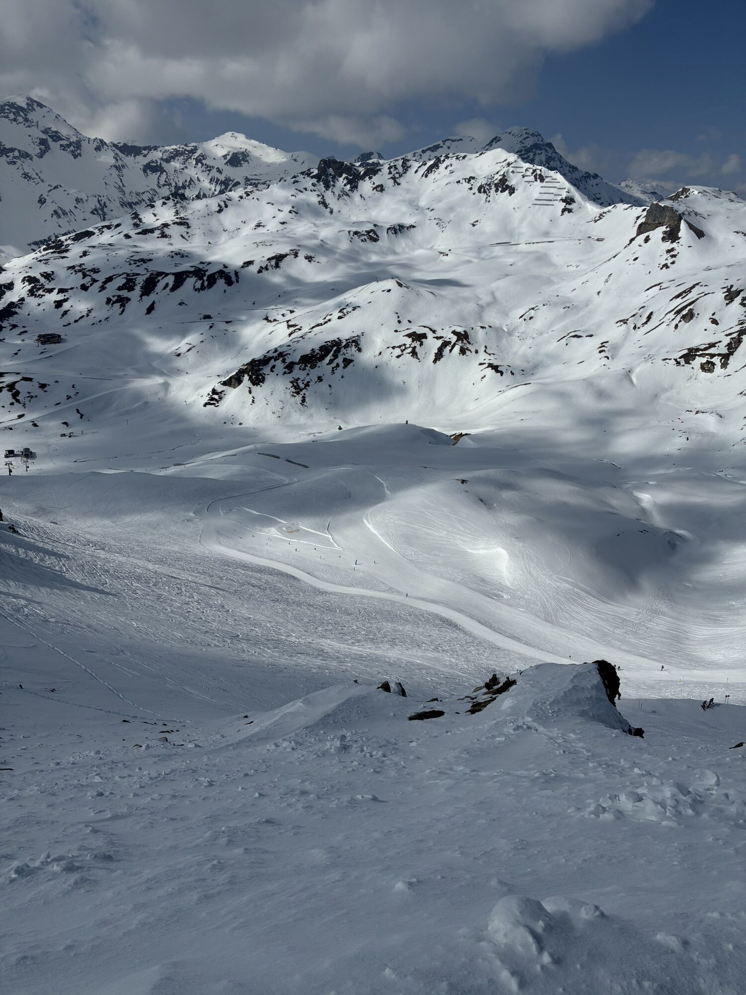
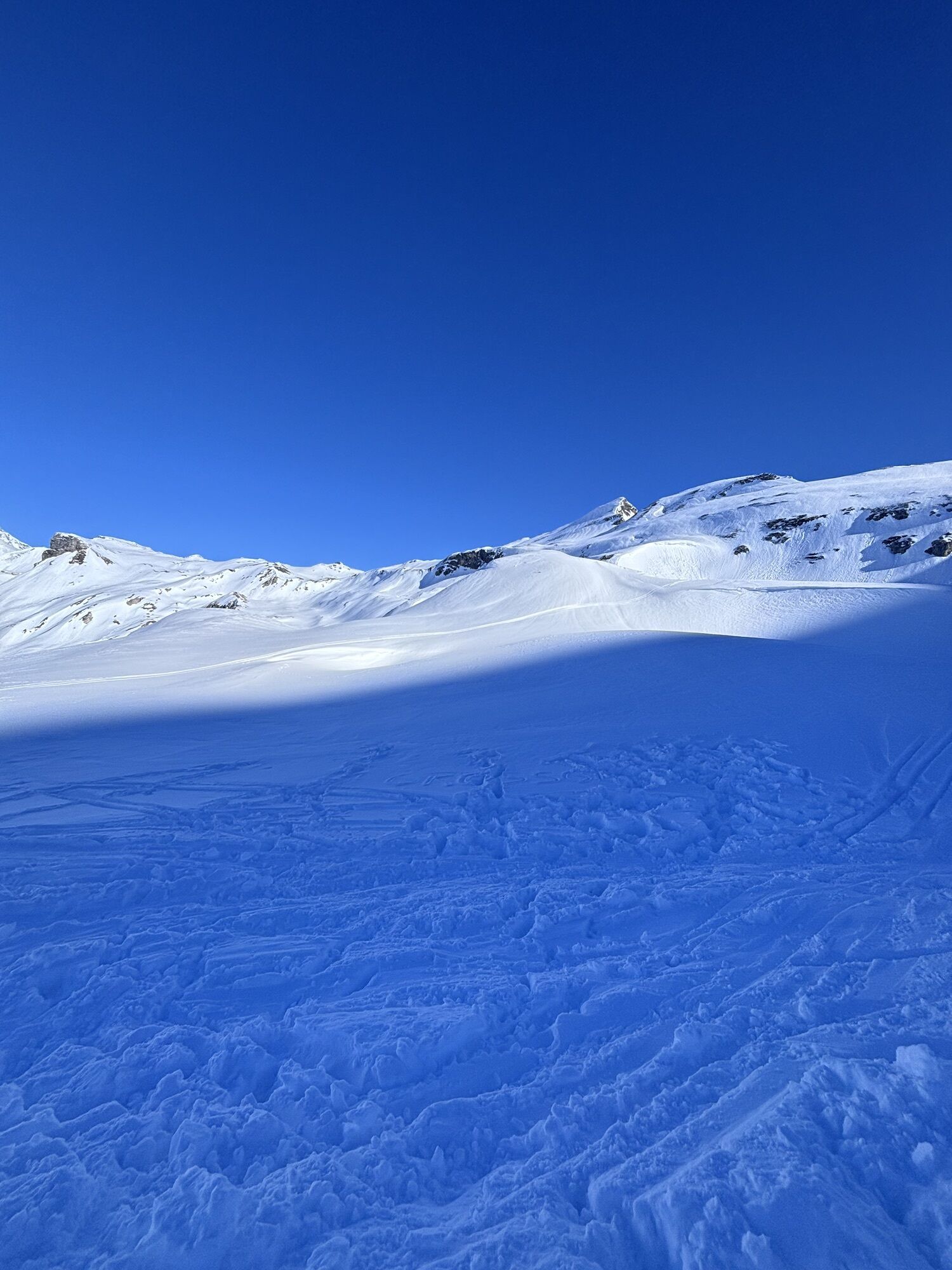
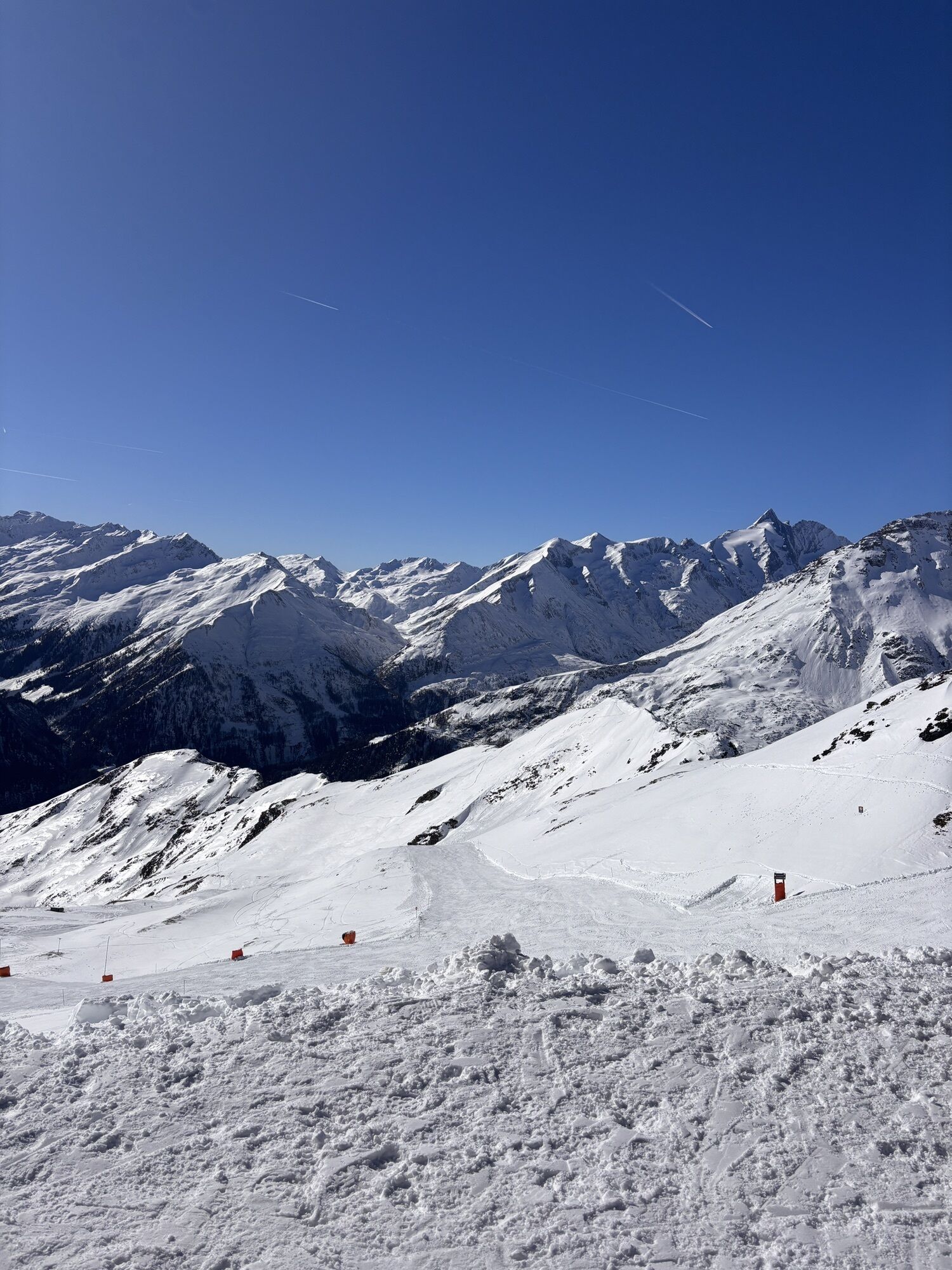
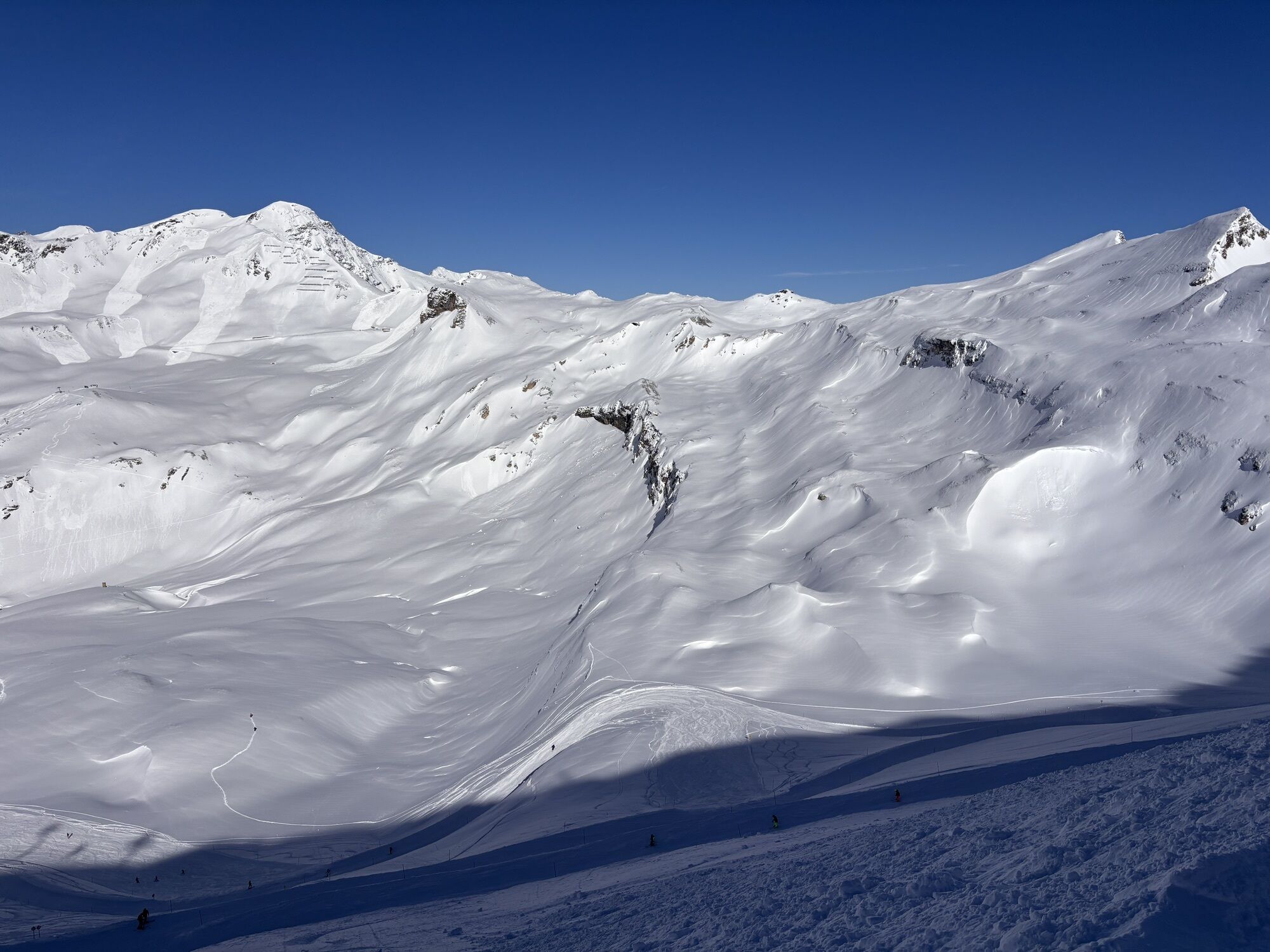
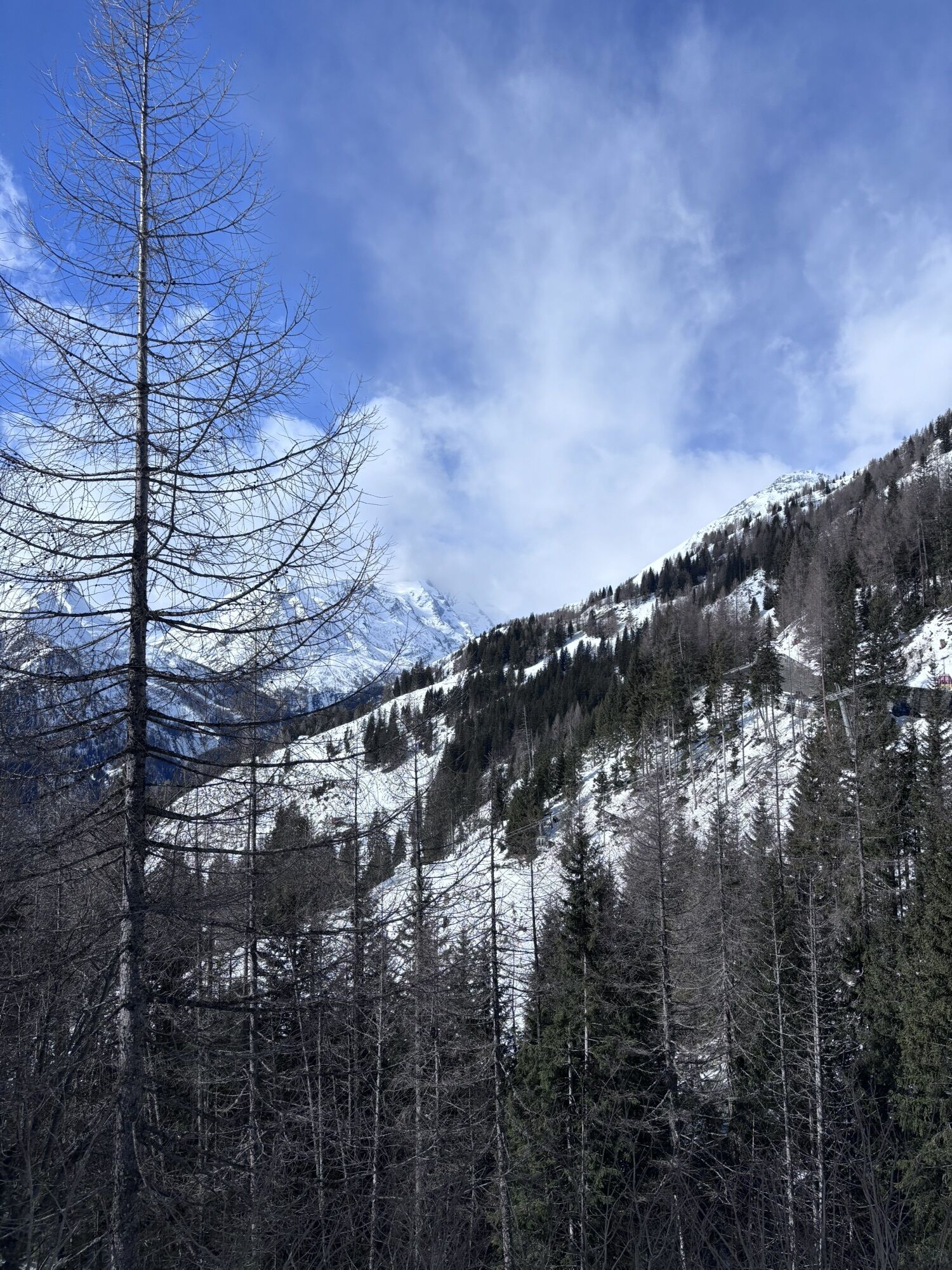


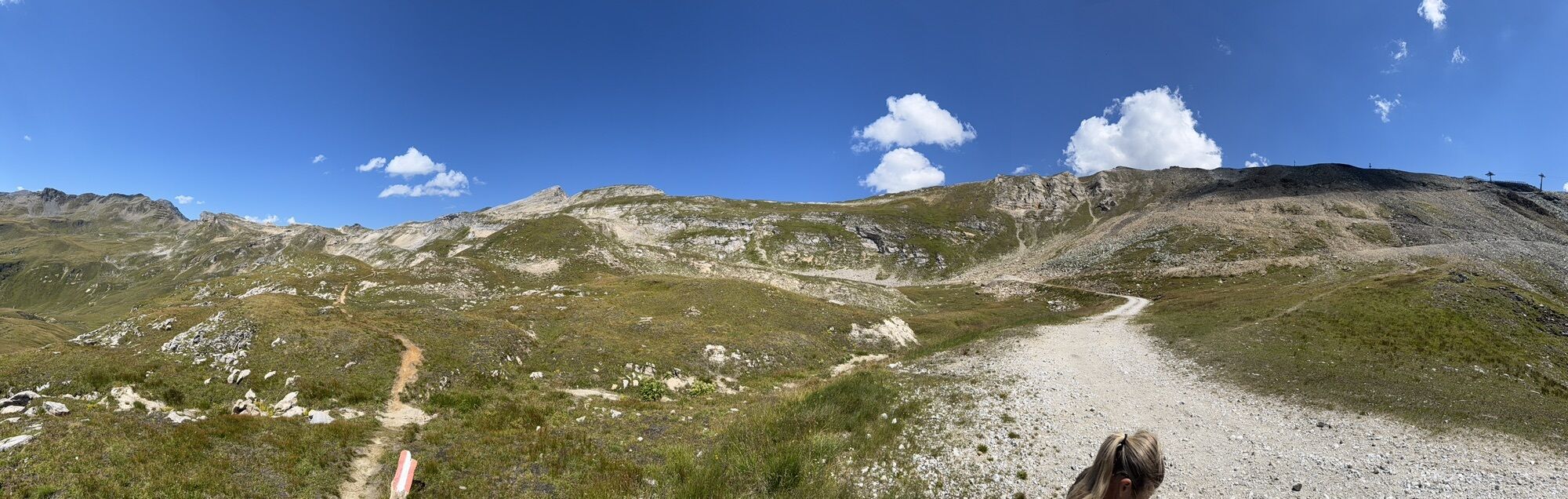

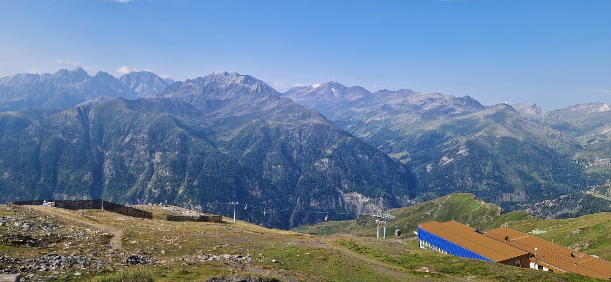
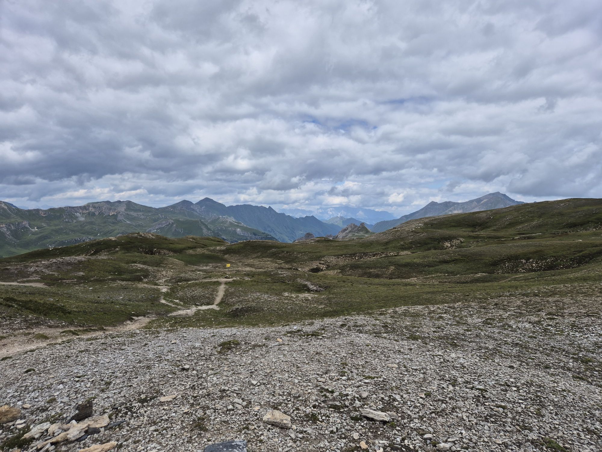
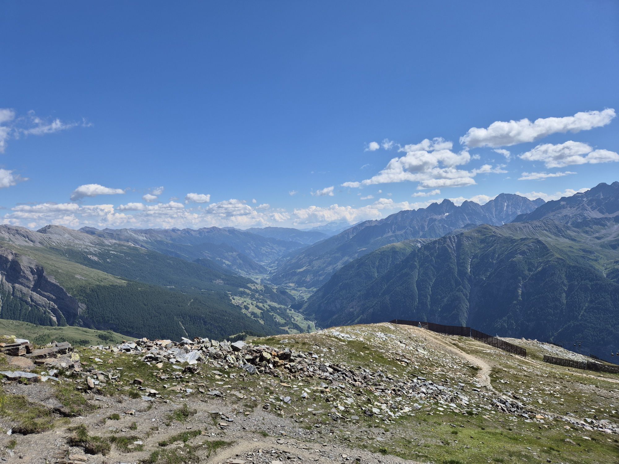


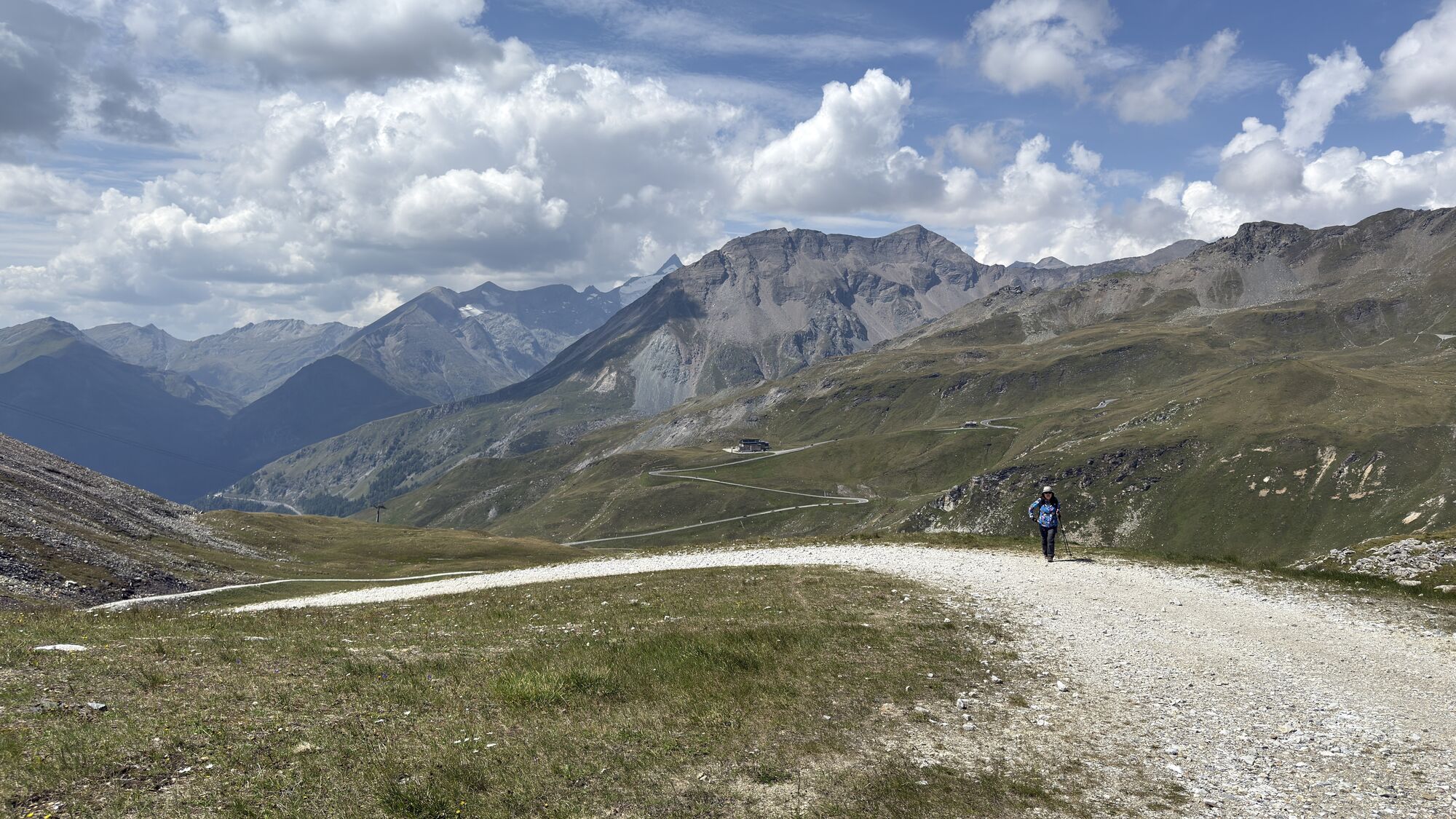
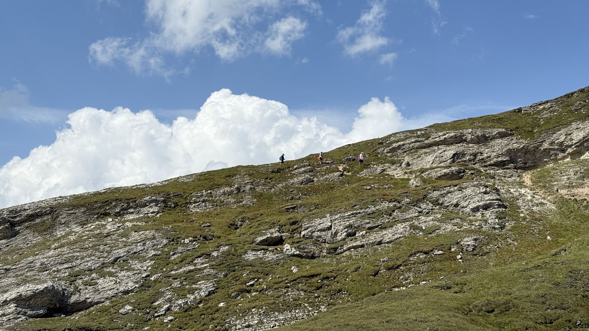
A short ascent facilitated by gondola lift to a mountain directly on the main Alpine ridge with a magnificent view over wide parts of Salzburg and Carinthia. Then over 900 meters of descent await towards...
A short ascent facilitated by gondola lift to a mountain directly on the main Alpine ridge with a magnificent view over wide parts of Salzburg and Carinthia. Then over 900 meters of descent await towards Kasereck to the middle station; if snow conditions allow, it's even possible to go down to Heiligenblut!
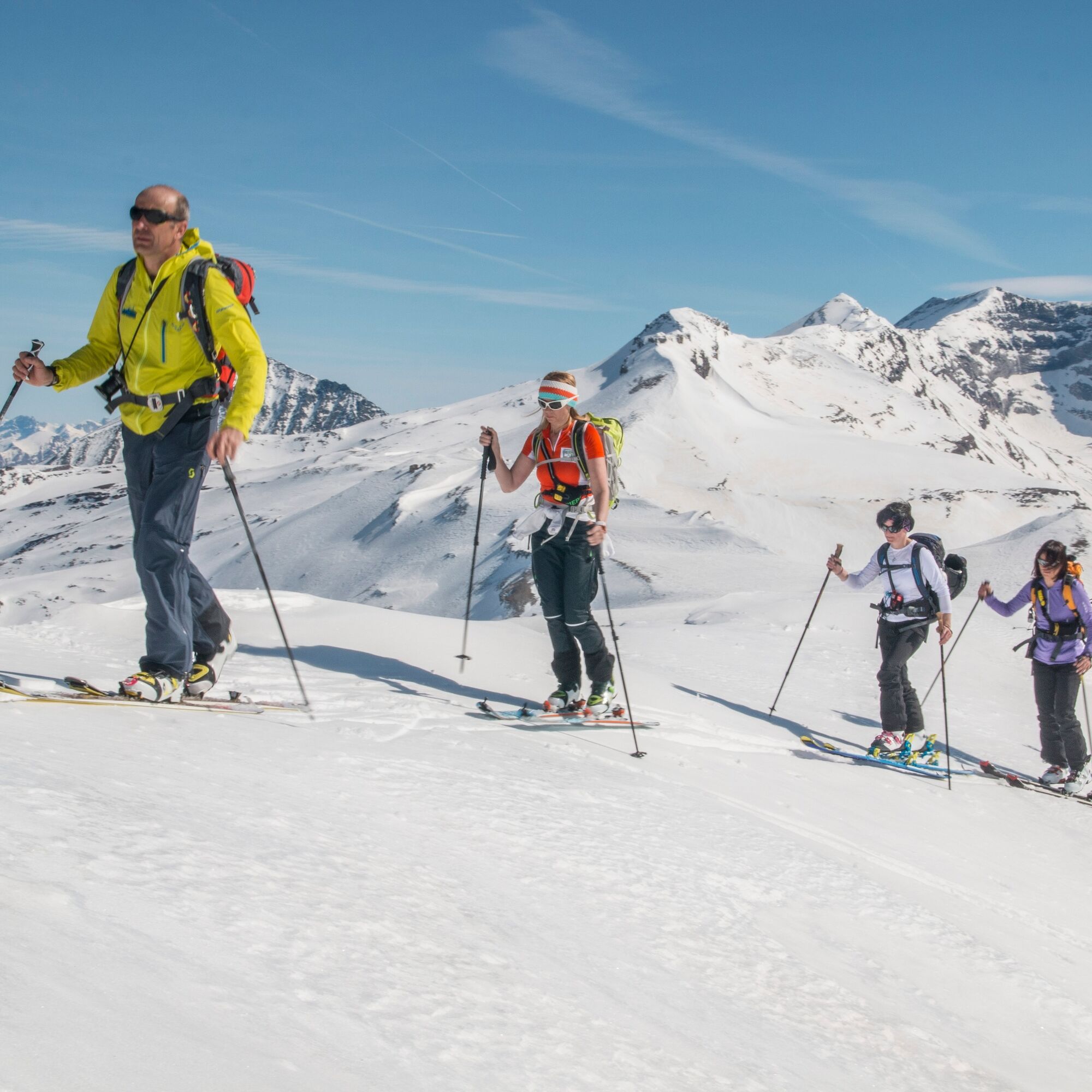
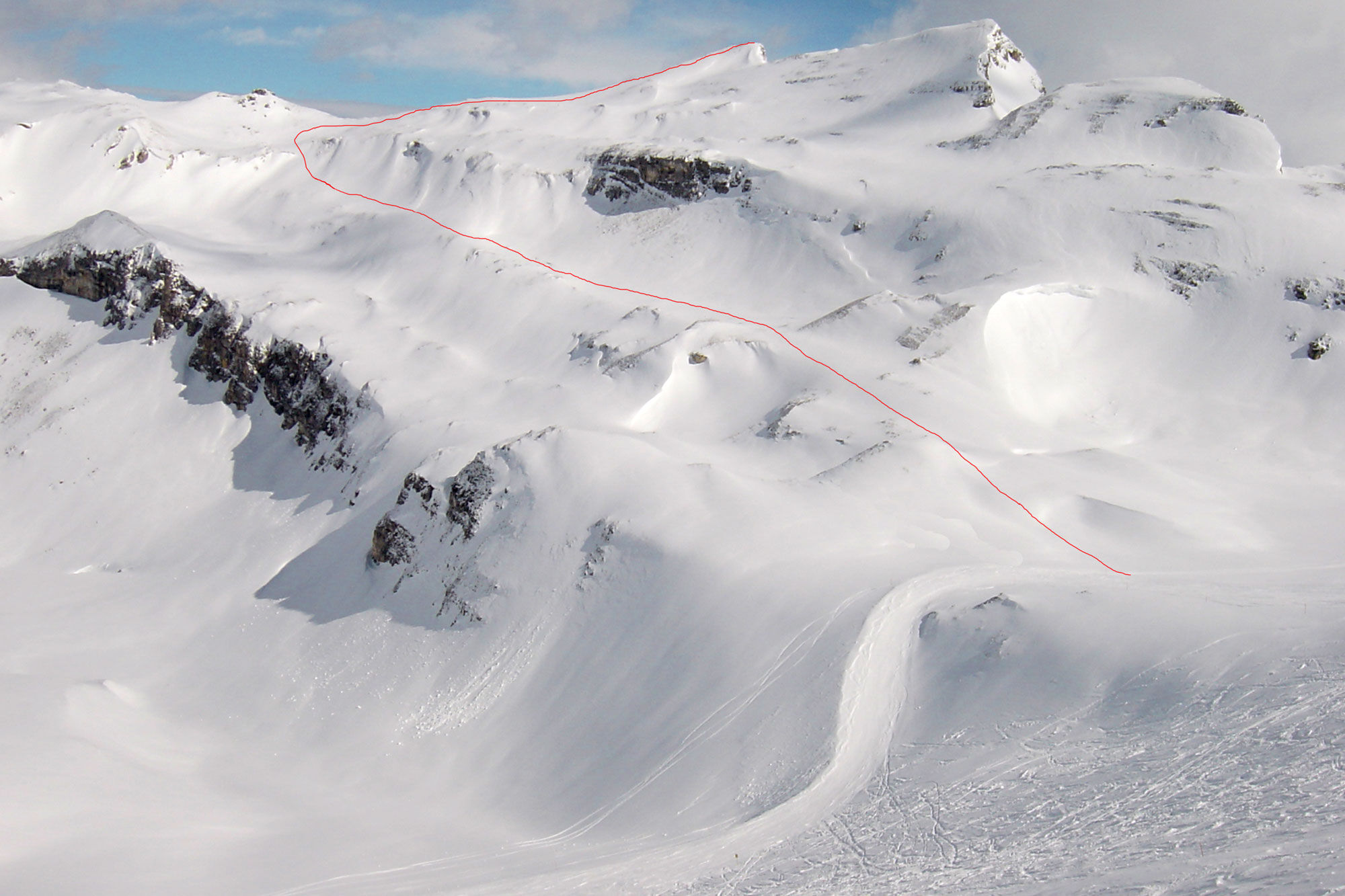
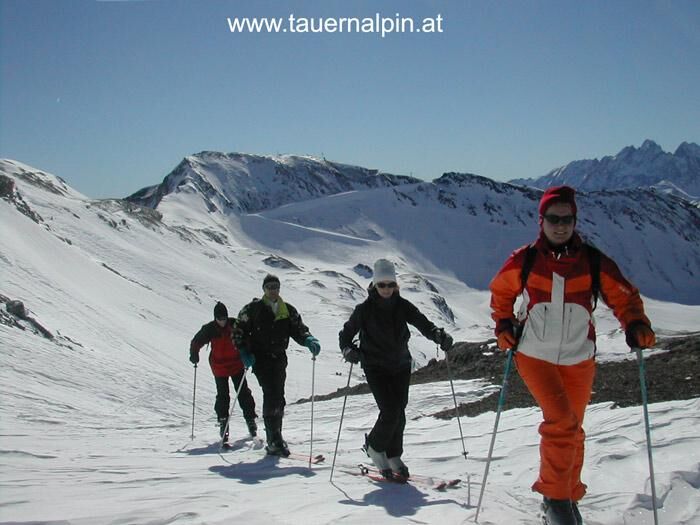

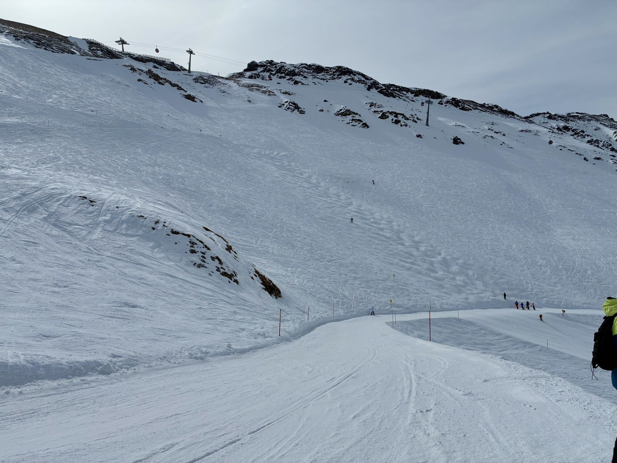
Either take the cable car from the valley station in Heiligenblut or from the middle station Roßbach to the Schareck summit. From the cable car mountain station, descend via the Fallbichl slope to the end of the 2nd traverse (start of the wider slope). Here a plateau begins on the right, which leads us almost to the summit ridge of the Roßschartenkopf. First, walk northwards on this plateau. After a short, slightly steeper section, you reach another plateau where you then head towards the west ridge and ascend over it to the summit.
Descent:
On the descent, you must first head west, otherwise, you will drive towards the cliffs below. Then continue into the valley floor of the Fallbichl and return via the Kasereck ski route to the middle station of the ski area. With suitable snow conditions, it is even possible to descend past the Gipper chapel down to Heiligenblut (Winkl district 1264 m). Ski bus connection to the valley station available.
Áno
Standard ski touring equipment with shovel, probe, and avalanche transceiver.
Due to the short ascent, also well suited for freeride equipment.
Due to the high alpine location, avalanche-prone snow is often present! Pay attention to cliffs on the descent to Fallbichl, so descend westwards in the upper section! Not recommended in fog.
Via the Möll valley from Winklern to Heiligenblut – free parking in the Heiligenblut parking garage (about 3 minutes walk to the valley station) or directly at the middle station Roßbach (4 kilometers above Heiligenblut)
By postbus from Winklern to the valley station of the Grossglockner cable cars (winter sports enthusiasts can use the ski buses free of charge)
Large car park at the entrance to Heiligenblut; parking in the area of the middle station Roßbach
Respect your limits! 5 rules for responsible snowshoeing or ski touring:
Where available, stay on marked routes; always observe information boards as well as protected, conservation, and restricted areas. Respect wildlife: avoid feeding areas and withdraw quietly and immediately if you spot an animal. Avoid young tree cultures (under three meters), ski edges can cause great damage to trees. Do not leave any waste behind. Avoid noise.Important for ski touring: prohibition of riding on young forests and reforestation areas
Ask at the lift ticket office for the ski touring map.
Ideal route for beginner ski tourers.
Webové kamery z prehliadky

Obľúbené výlety v okolí
-
4,8
Kaiser-Franz-Josefs-Höhe to Oberwalderhütte
ťažkéTuristika 5,52 km -
4,7
Geotrail Tauernfenster
svetloTuristika 5,90 km -
5,0
Silberpfennig, Salzburger Land/Österreich
strednáTuristika 13,8 km -
4,5
Glacier Route to the Pasterze with Gamsgrubenweg (up to Tunnel 6)
strednáTuristika 8,05 km -
4,9
Figerhorn 2743m, Lucknerhaus
ťažkéTuristika 6,69 km -
4,9
Glockner Alpincenter - Salmhütte - Hohenwartkees
strednáTuristika 8,64 km -
4,9
Glockner
strednáVysoké turné 19 km -
4,8
Hohe Sonnblick Up
ťažkéTuristika 9,14 km -
4,8
Rifflscharte - Kolmkarscharte - Bockhartscharte - Sportgastein
strednáTuristika 13,5 km -
4,5
Spielmann
strednáTuristika 9,48 km
Turistika a stopovanie


Nenechajte si ujsť ponuky a inšpiráciu na ďalšiu dovolenku
Vaša e-mailová adresa bol pridaný do poštového zoznamu.





