


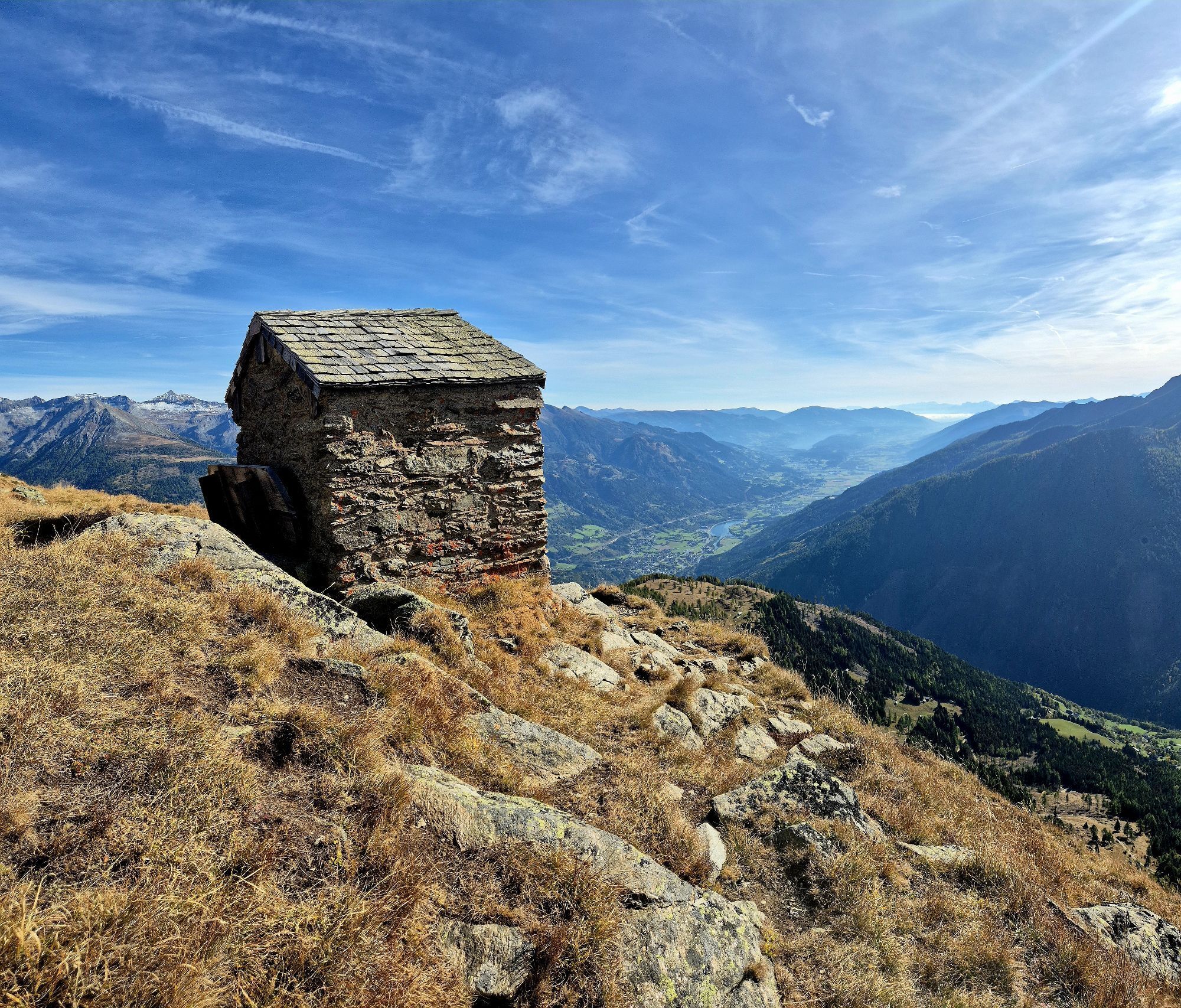
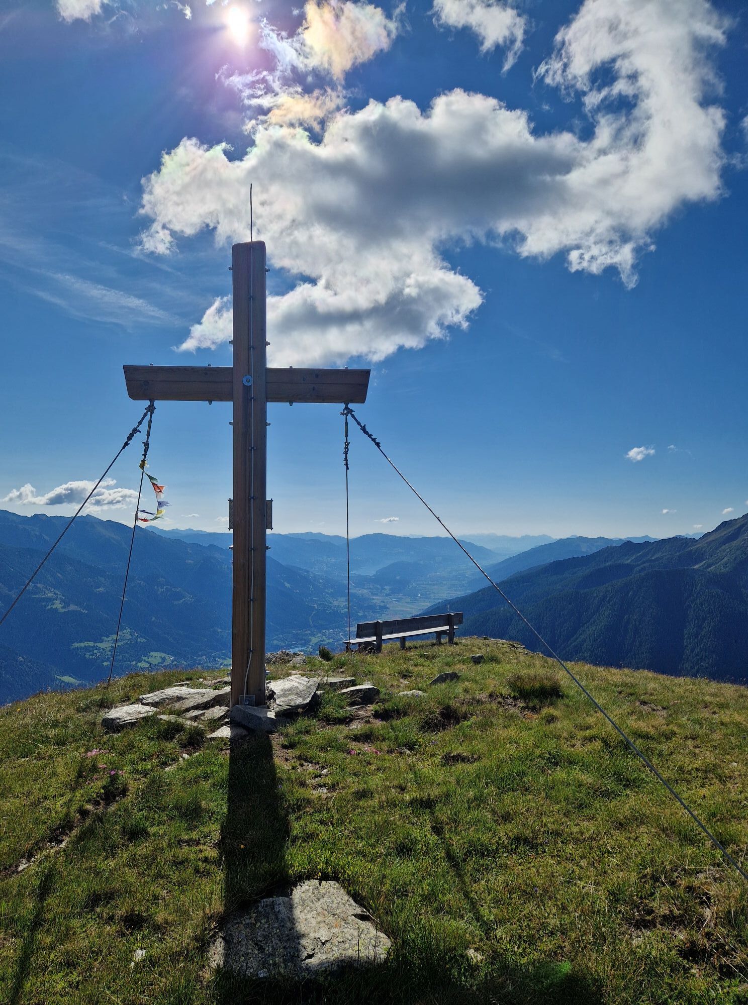
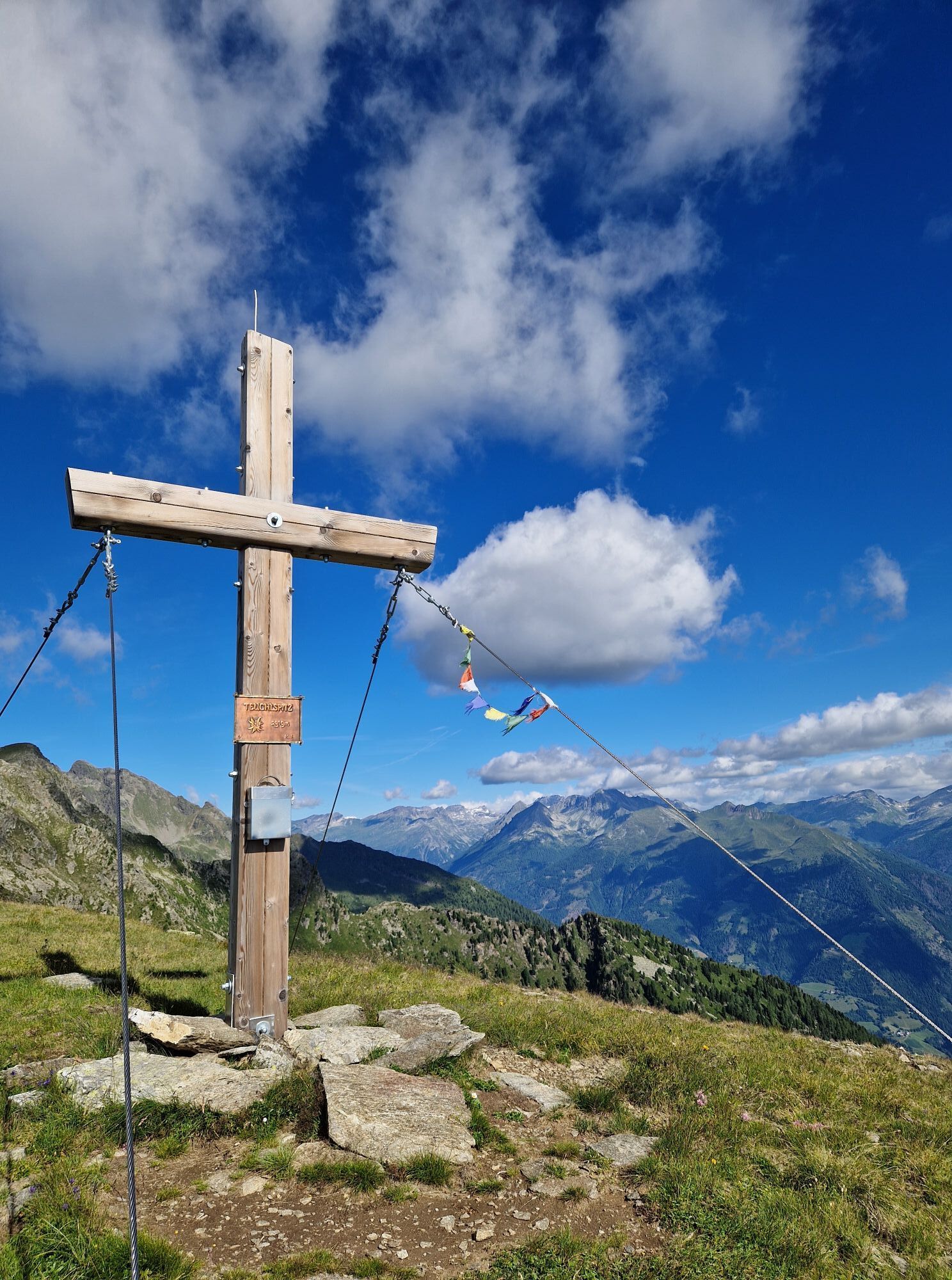
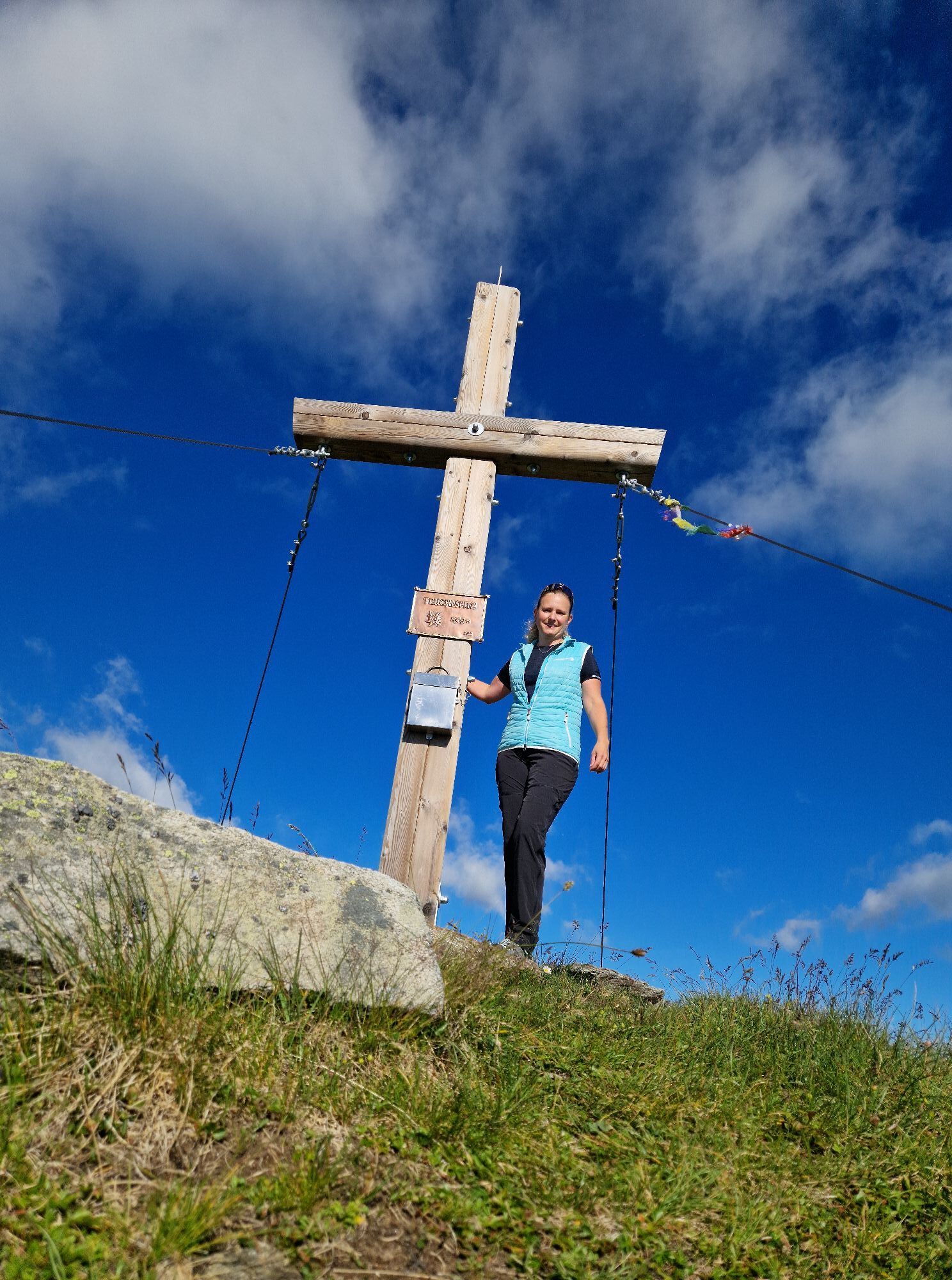
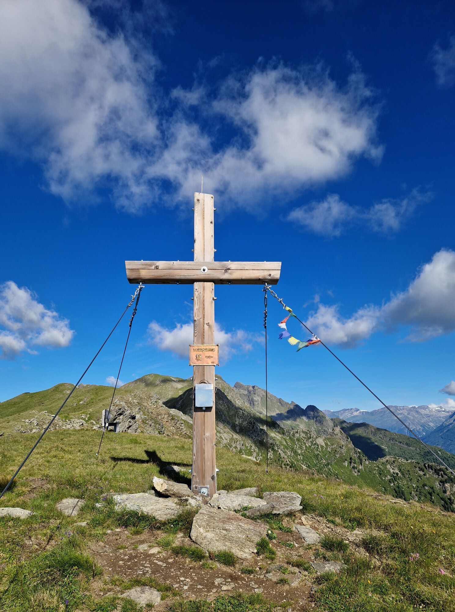
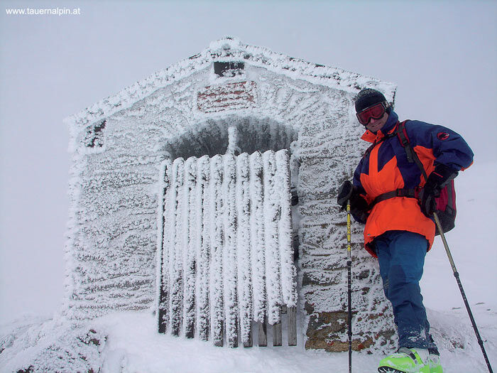
Teuchlspitze
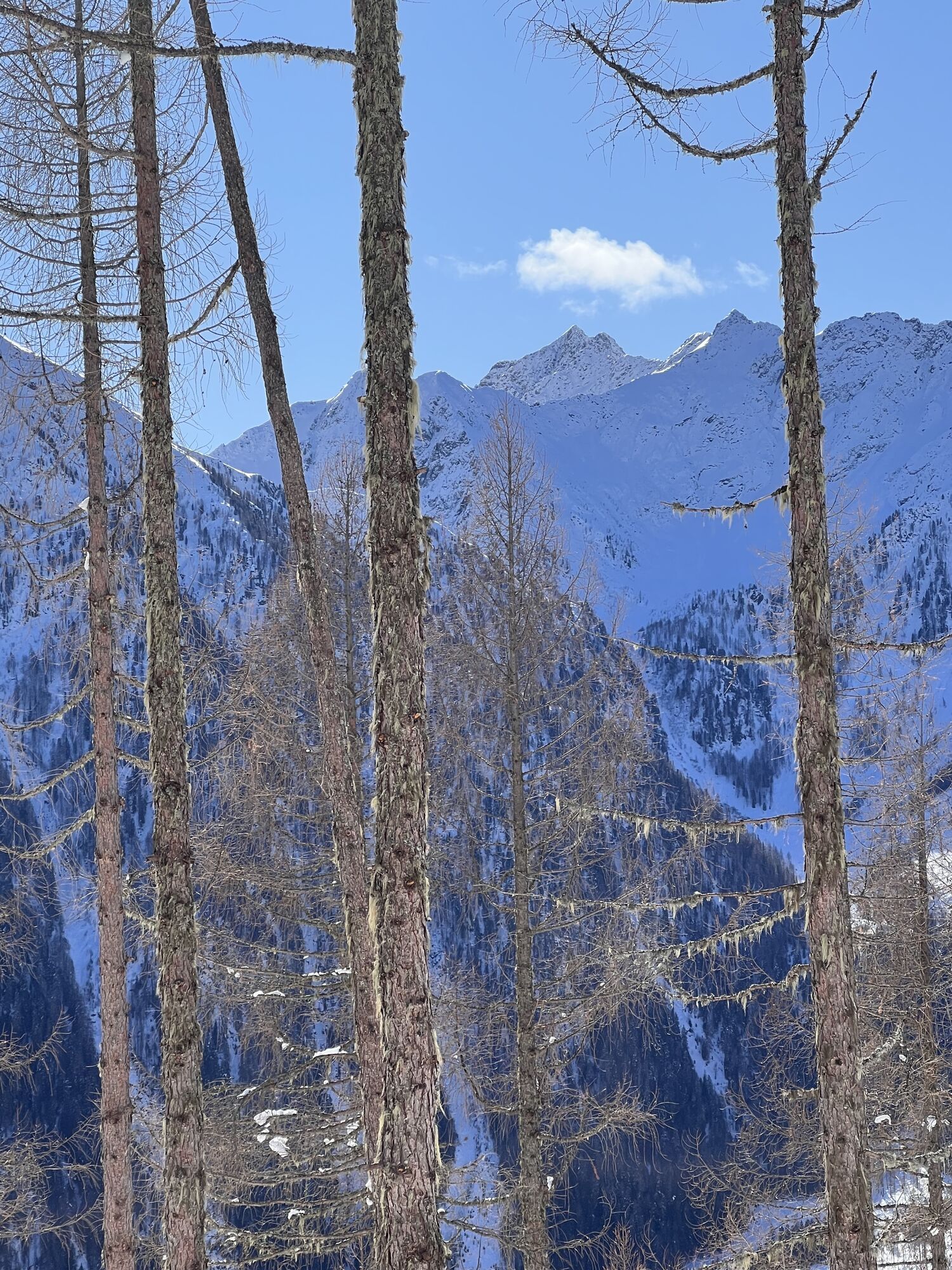
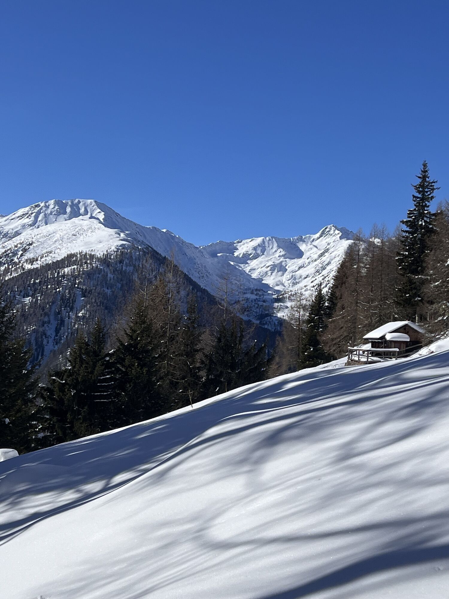
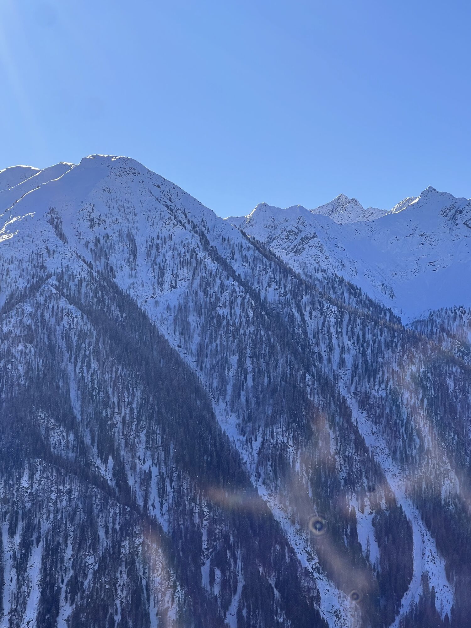
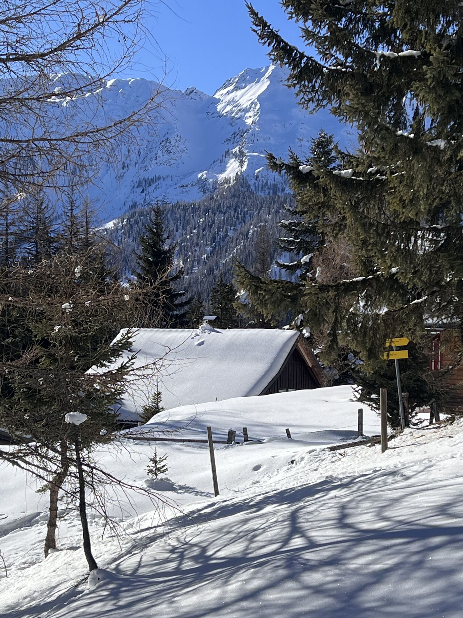
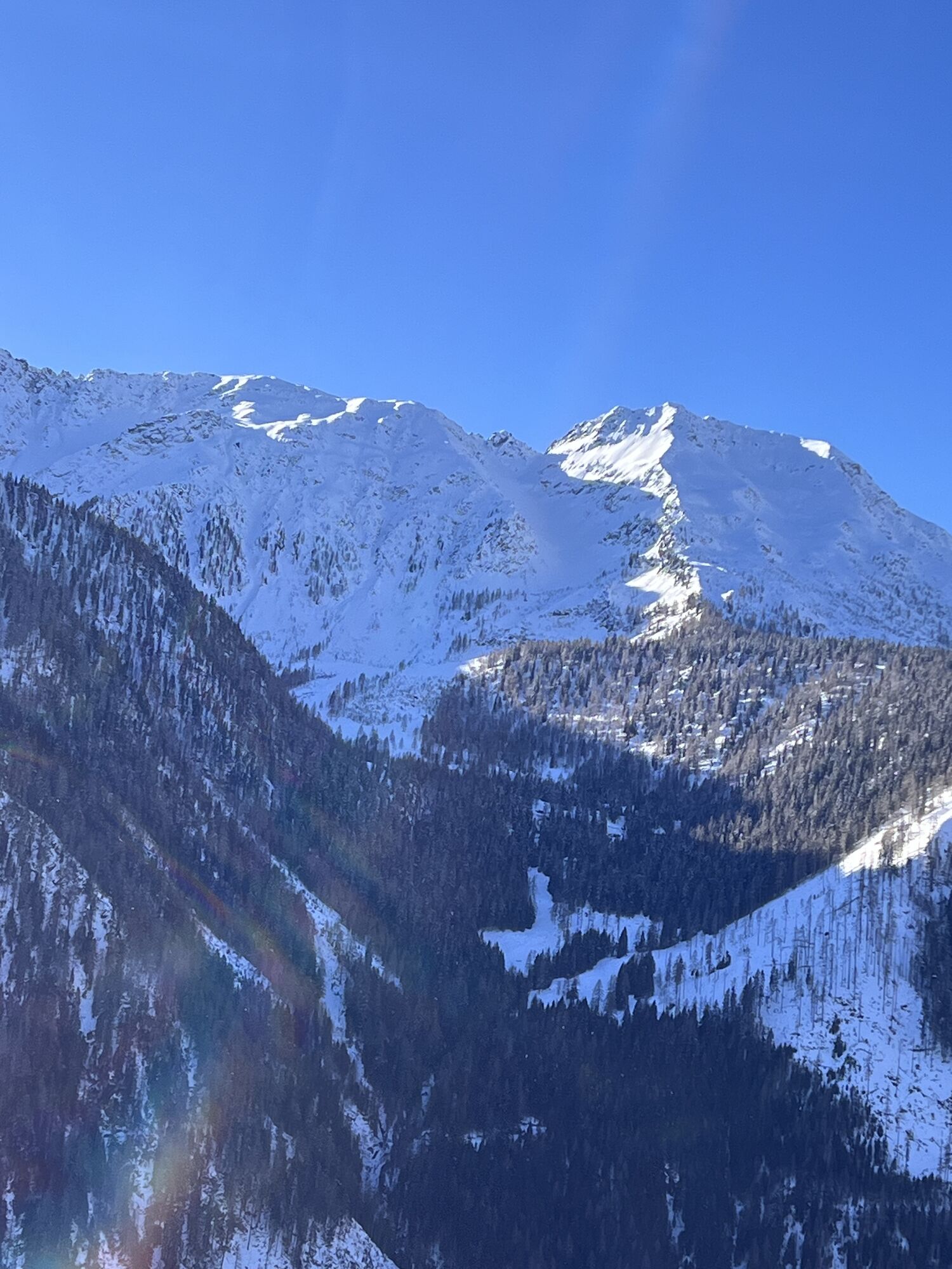
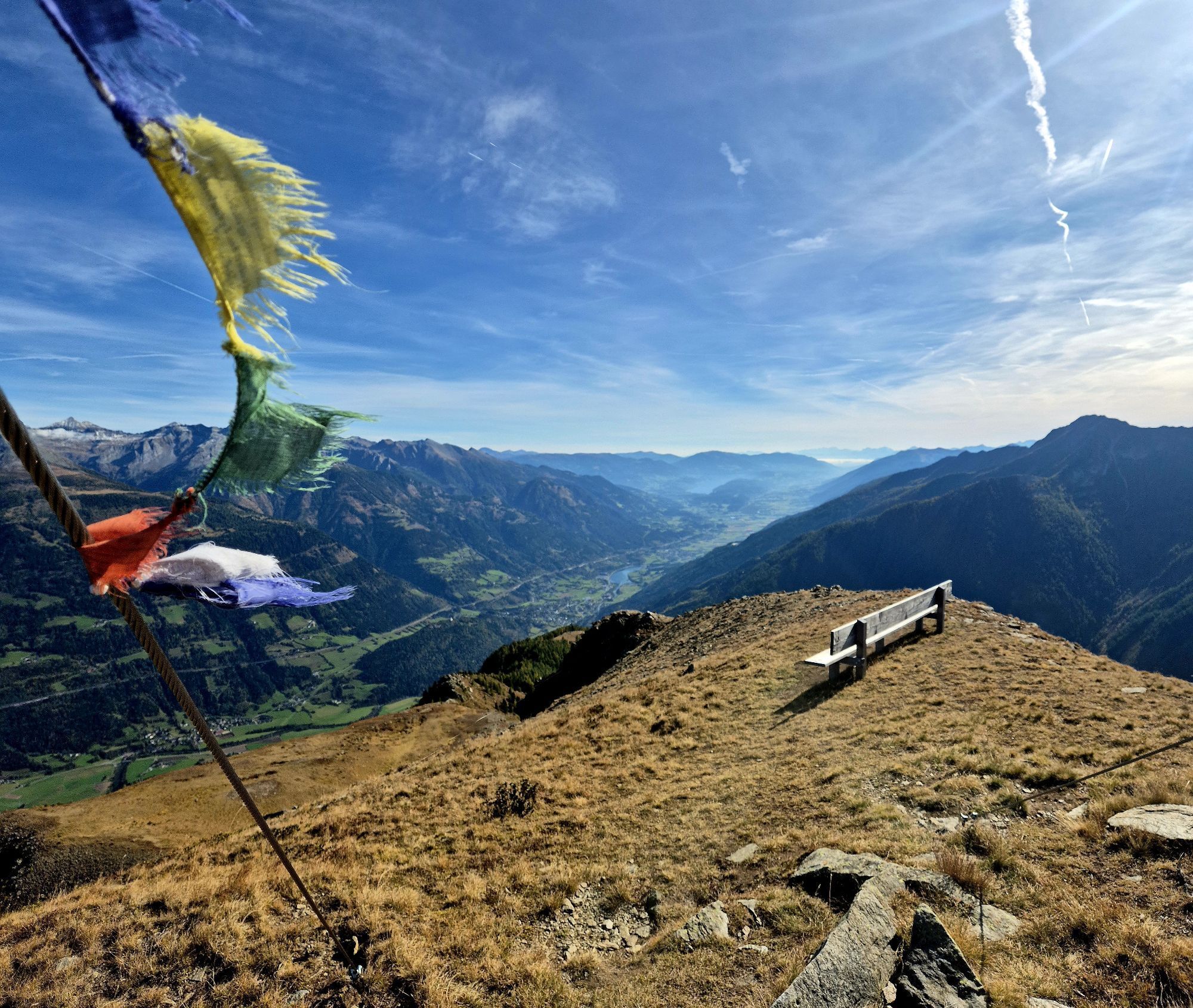
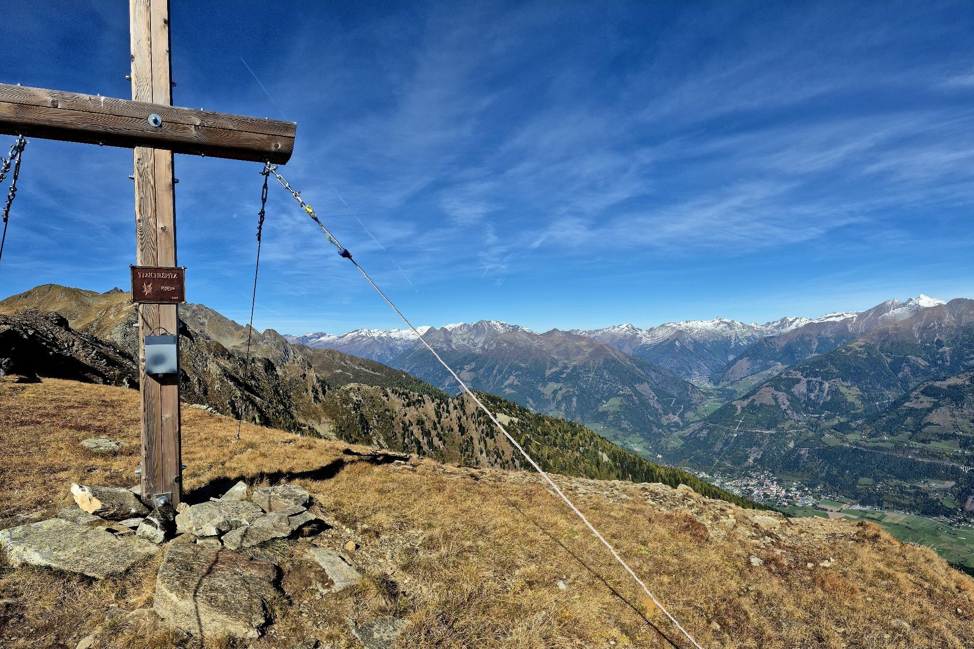
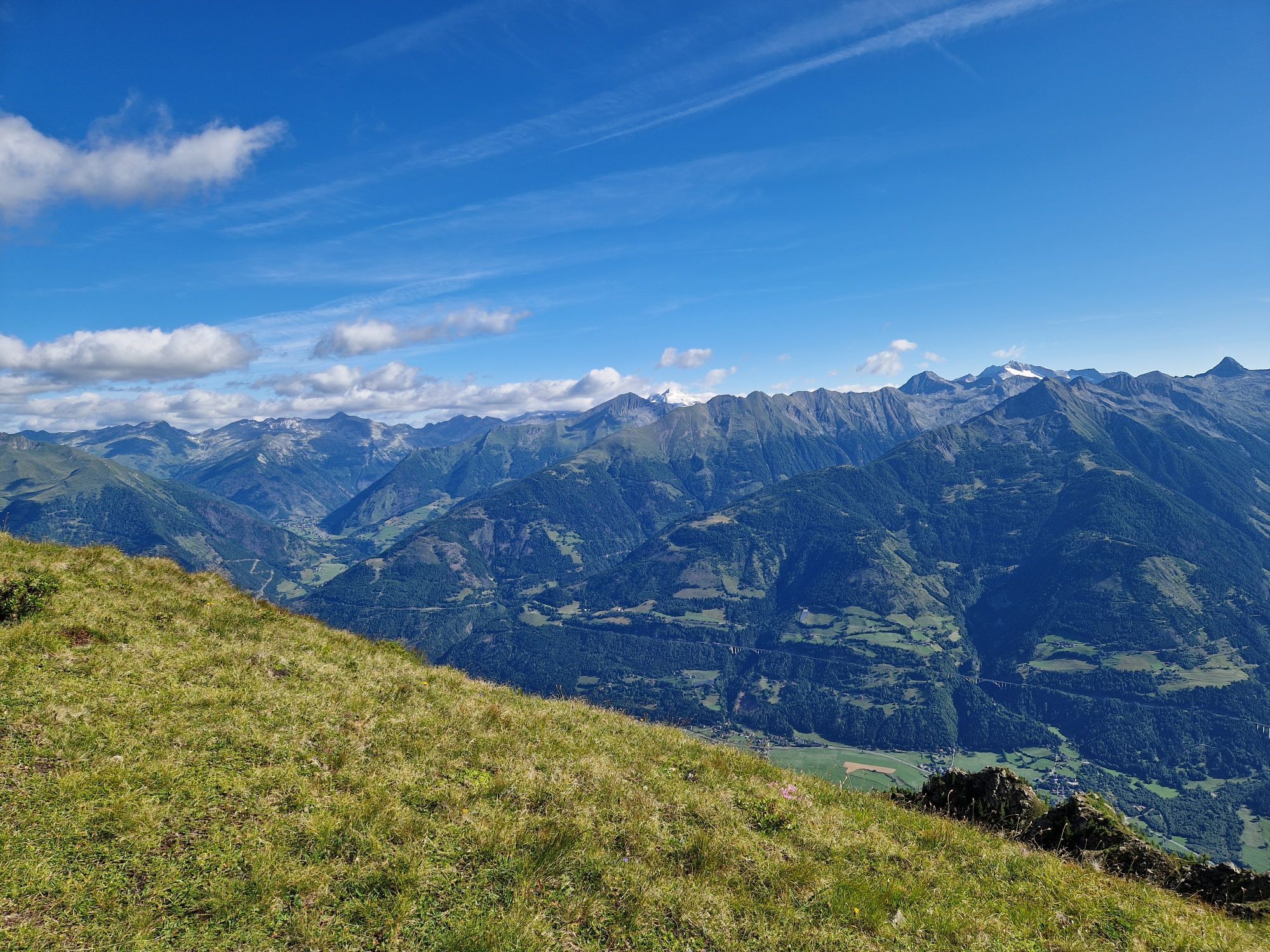
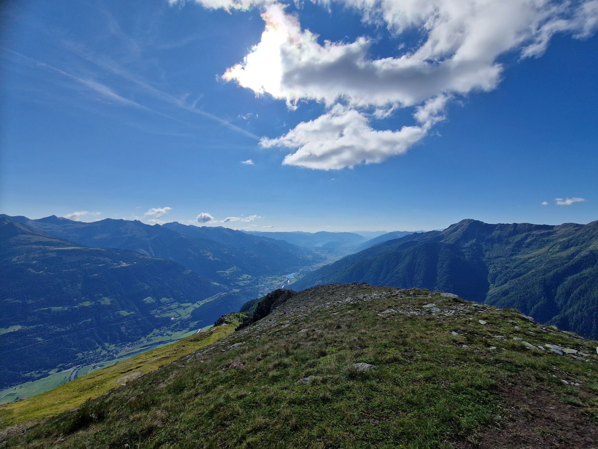
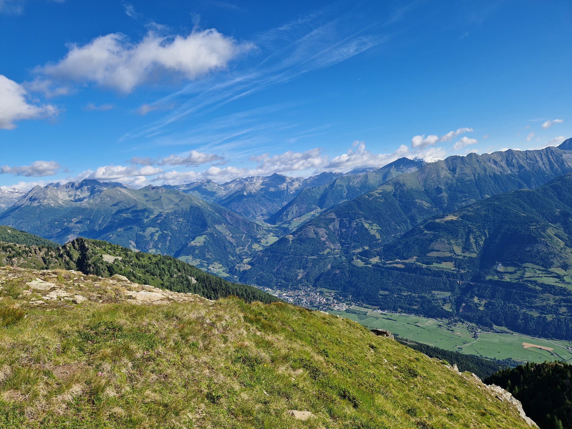
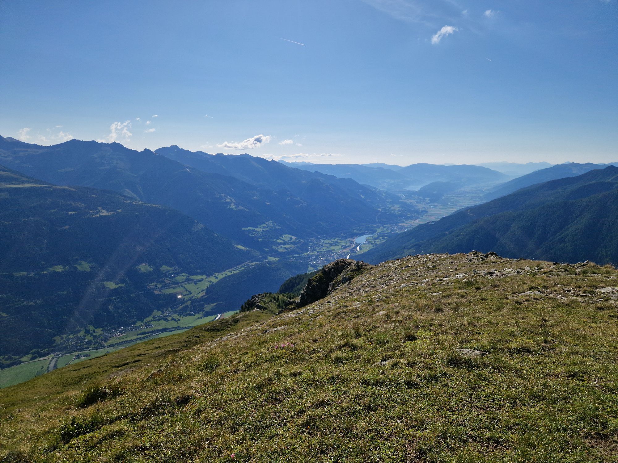
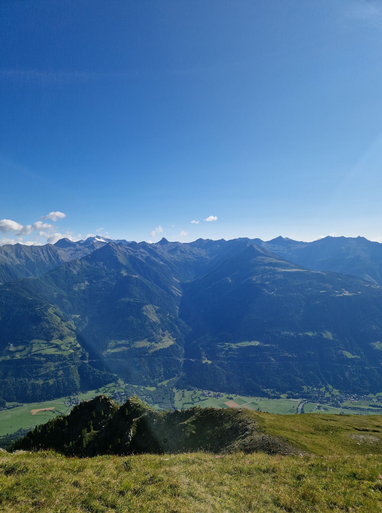
Route to a beautiful viewing mountain south of the Mölltal. Because of this southern location, also well suited when the mountains on the main Tauern ridge are cloudy from the north. In the summit area...
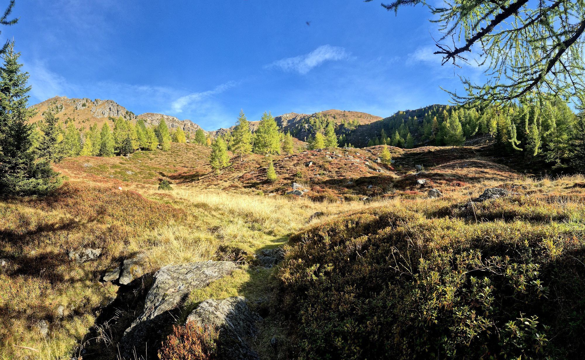
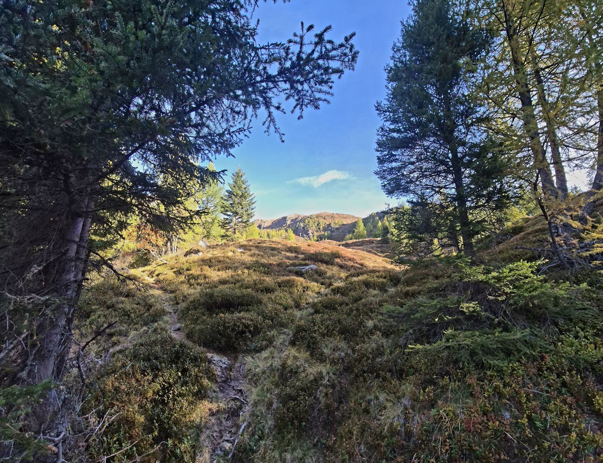
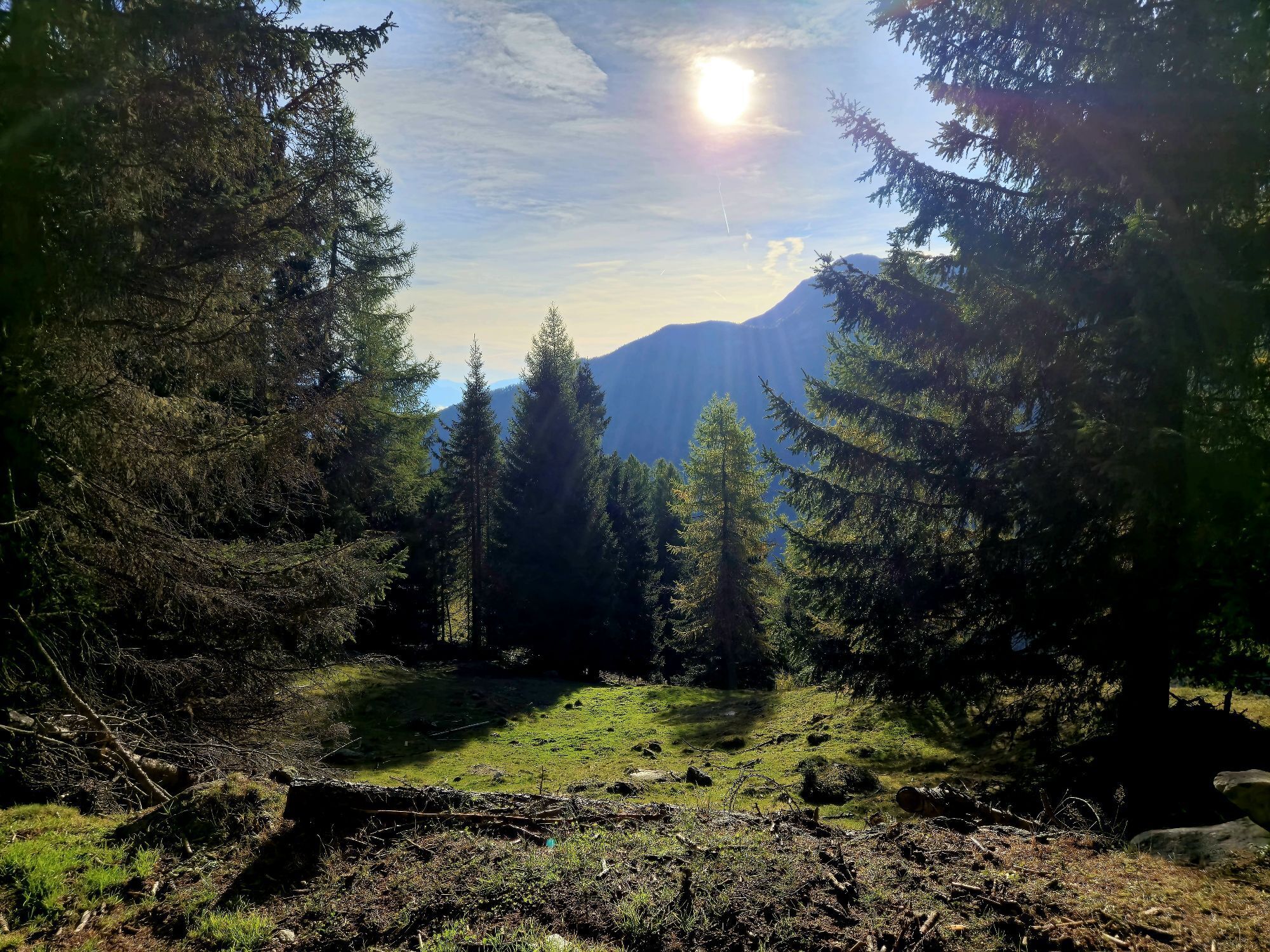
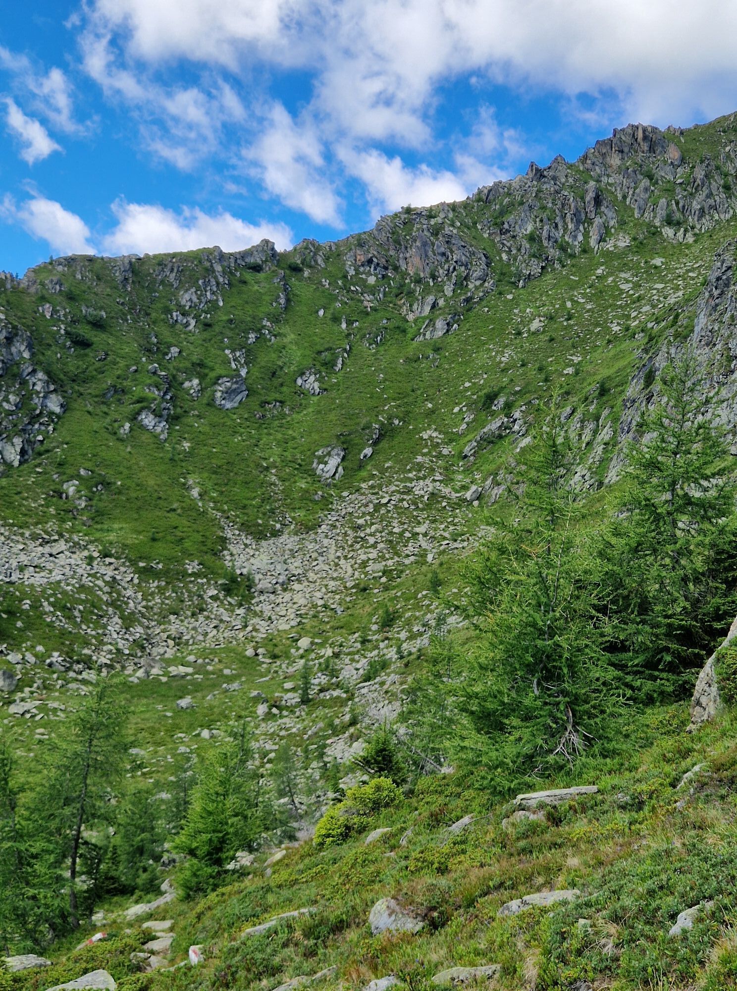
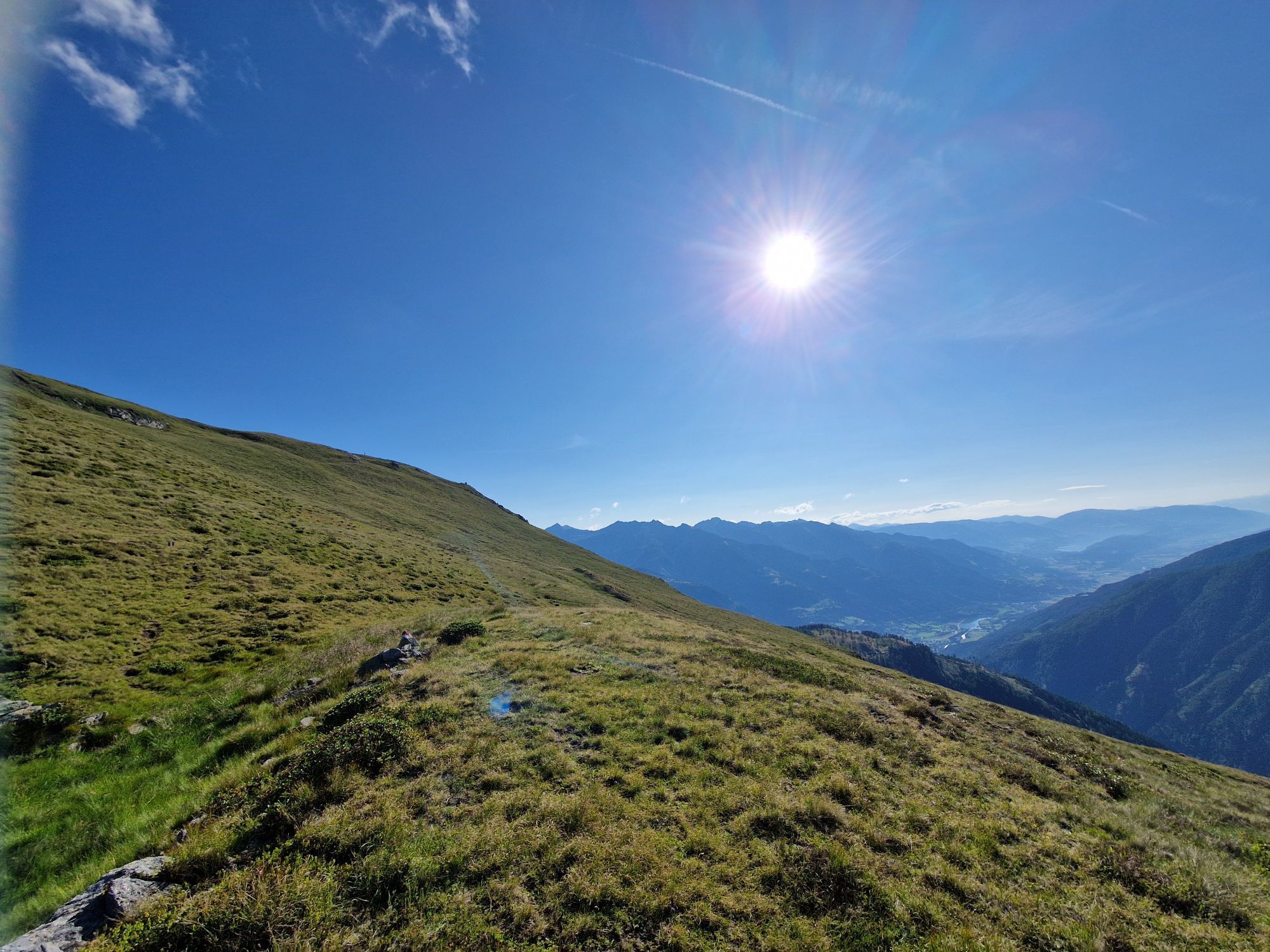
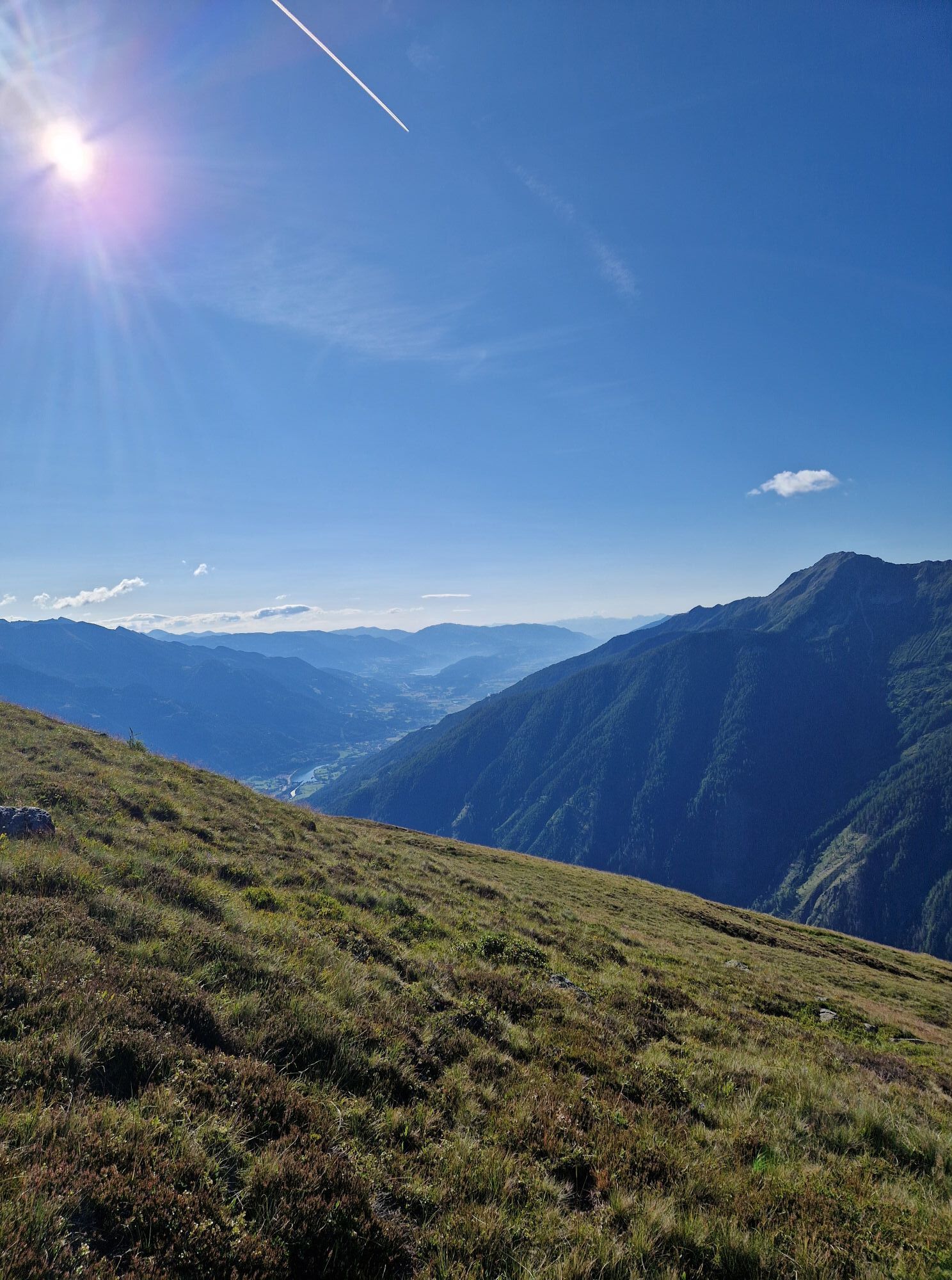
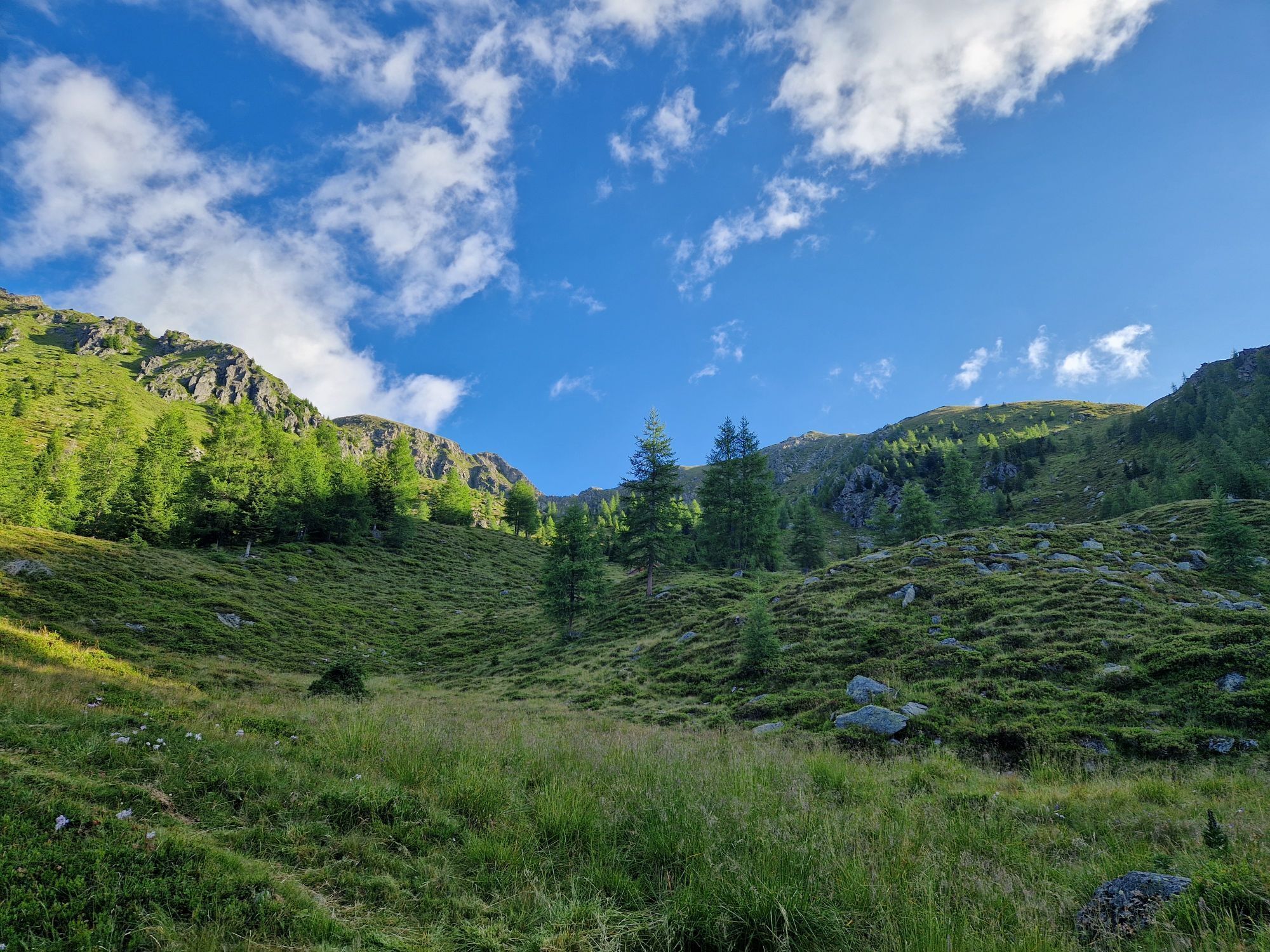
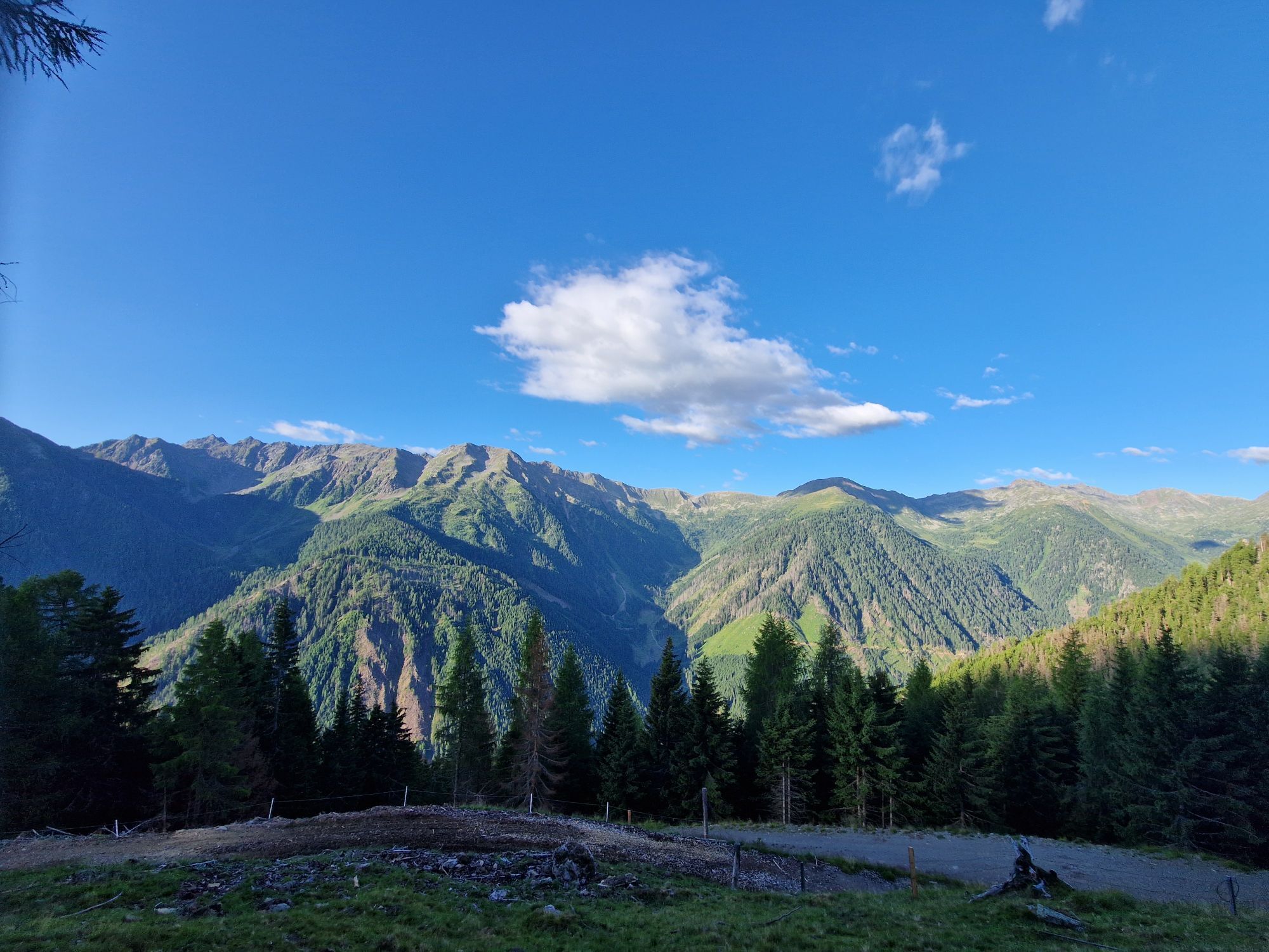
Route to a beautiful viewing mountain south of the Mölltal. Because of this southern location, also well suited when the mountains on the main Tauern ridge are cloudy from the north. In the summit area and in the lowest part of the route, nice open slopes, but also relatively long forest road sections in between.

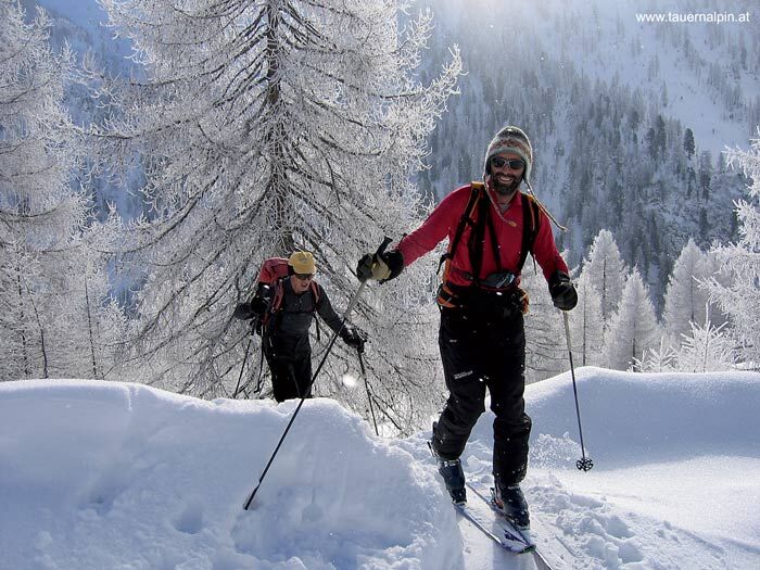
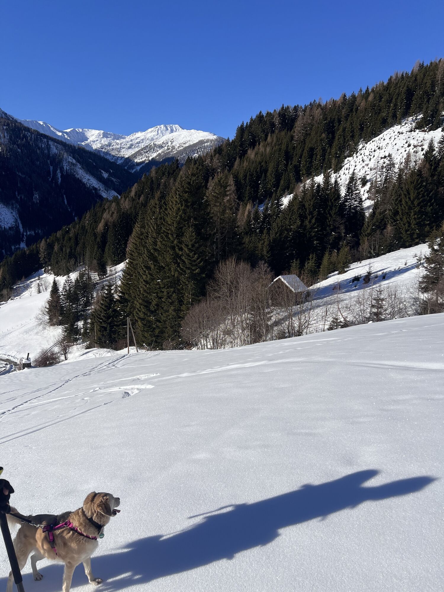
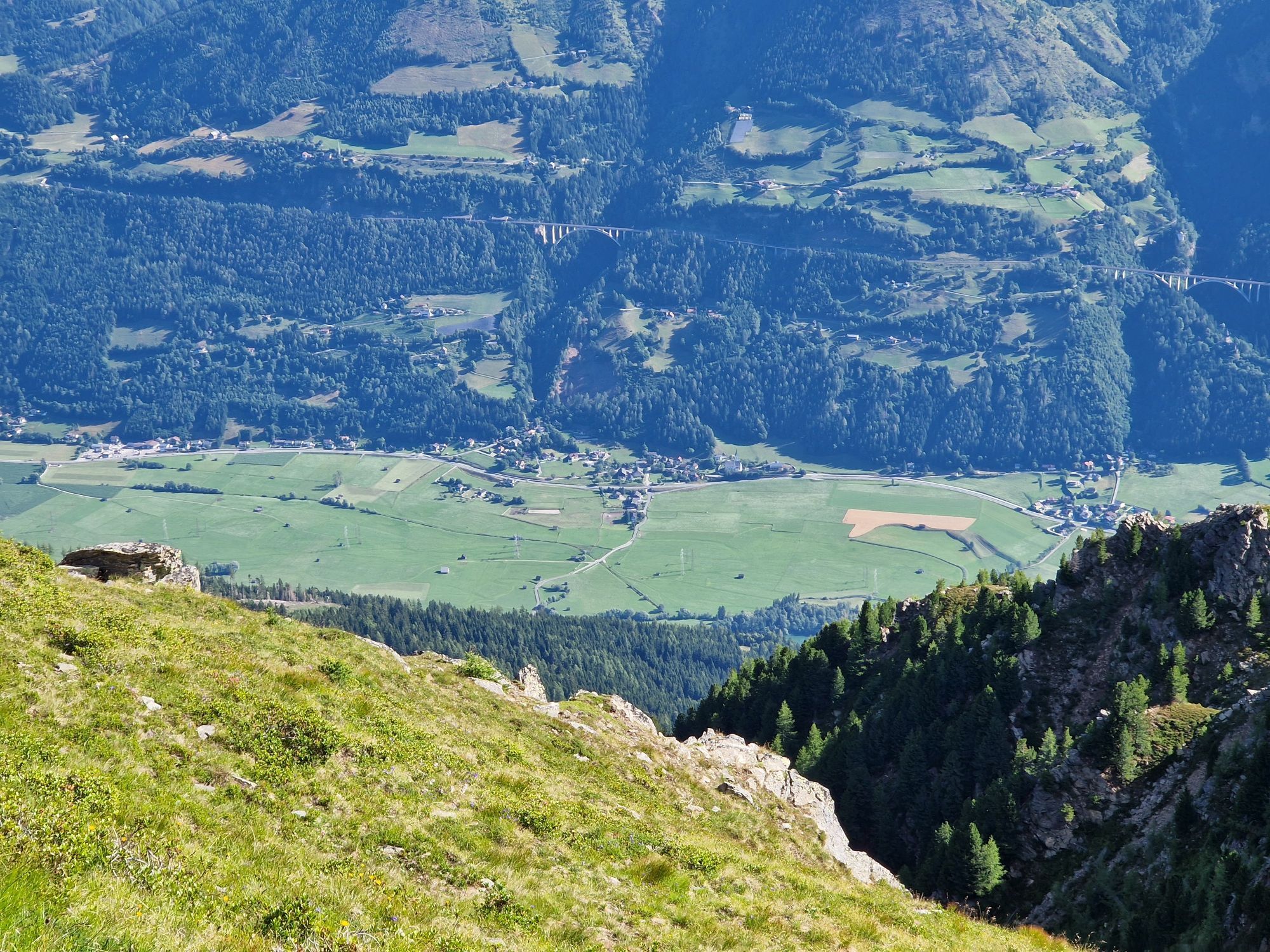
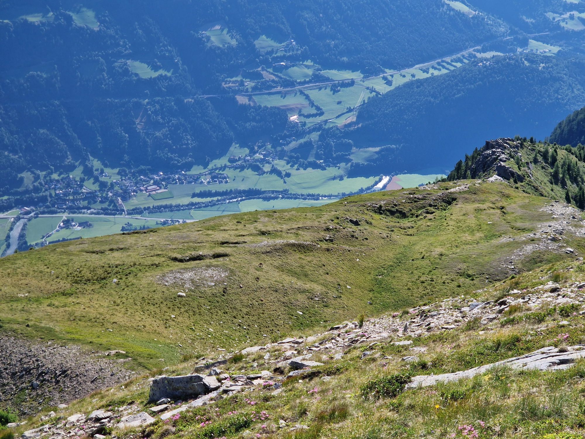
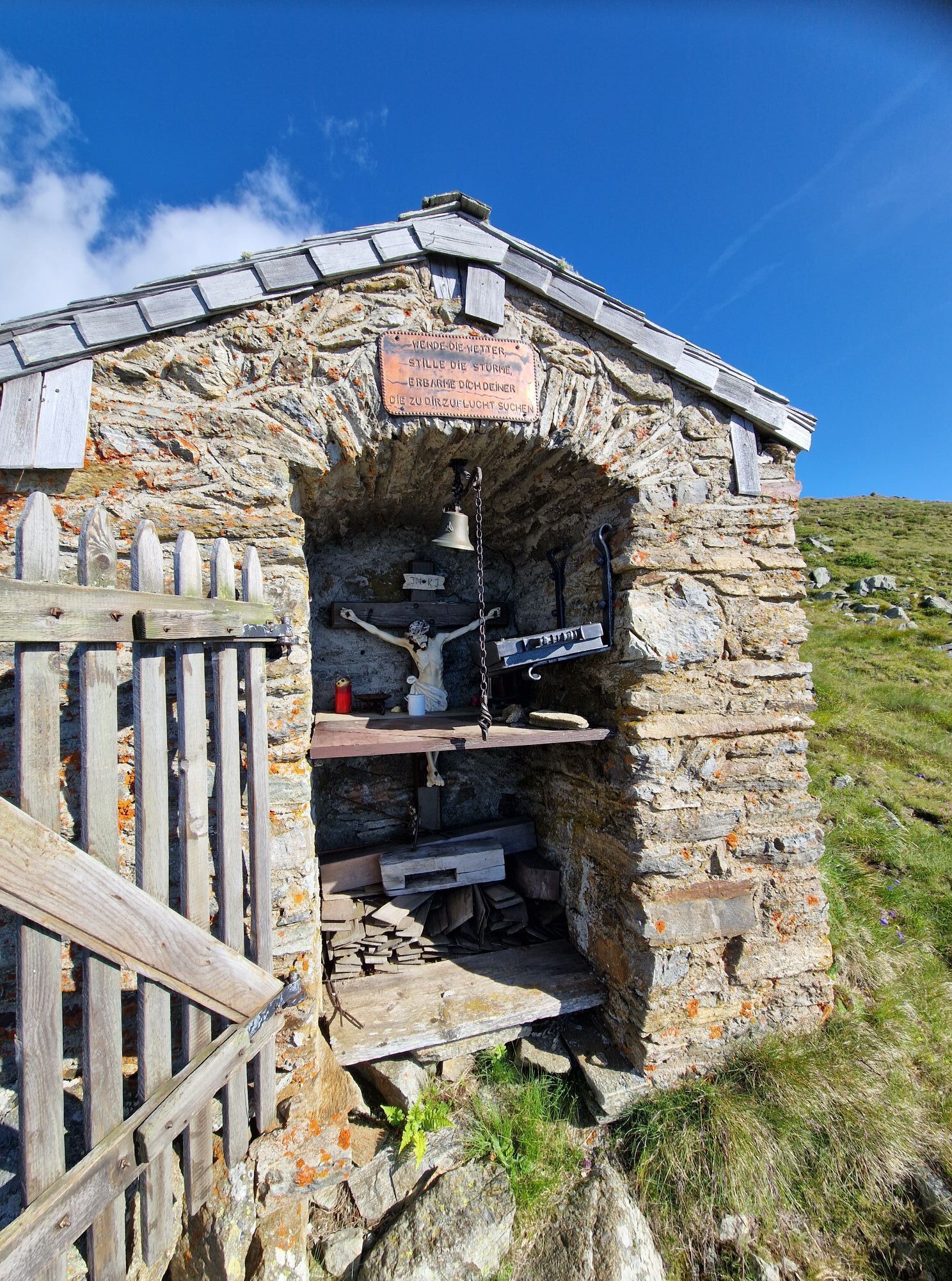
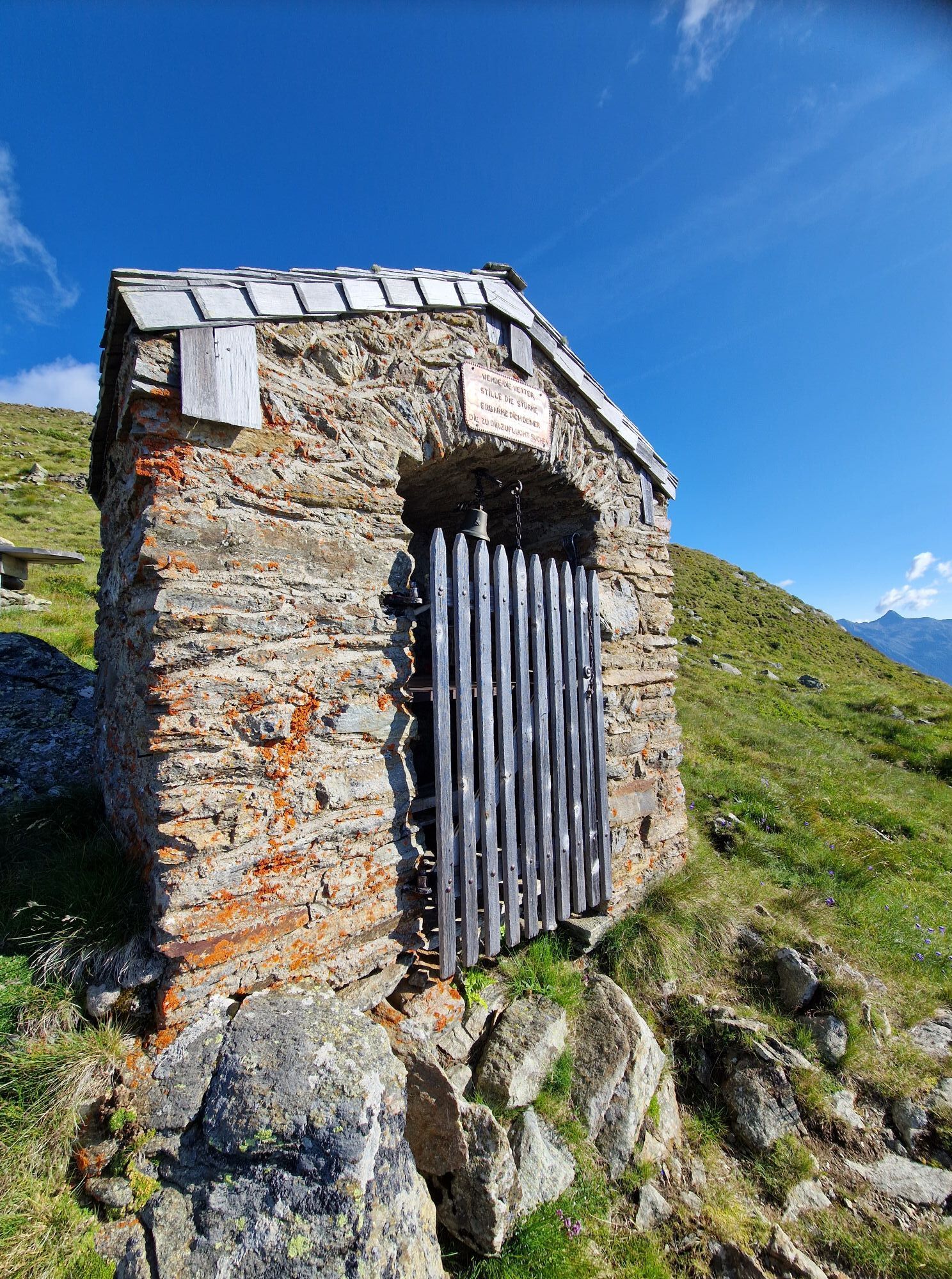
We start in Teuchl directly at the church and ascend over open meadows up to the Pekastnig farmstead (do not drive up to here, private!). Now cross for a long time on mostly flat forest roads until you can ascend a little steeper than before to the right (north). From the reached alpine basin, we again cross to the right over the ridge that descends from the Teuchlspitze and follow the open slopes up to the summit or the summit chapel.
Descent: In the area of the ascent track.
With good conditions and sufficient snow cover, significantly more direct variants are possible!
Áno
Usual ski touring and avalanche transceiver equipment
Turn off the Mölltal federal road (B106) at Penk and follow the road to the mountain village of Teuchl.
In the area of the small church in Teuchl. Please park considerately!
Respektiere your limits!
5 rules for responsible snowshoeing or ski touring:
Important for ski tours: Prohibition of riding on young forest and reforestation areas
Obľúbené výlety v okolí
-
5,0
Bella Vista auf Hohe Leier
strednáVia ferrata 15,6 km -
4,4
Groppenstein Gorge Obervellach
strednáTuristika 2,99 km -
4,0
Barbarossa Gorge near Mühldorf/Mölltal
svetloTuristika 2,74 km -
4,5
Arthur von Schmidhaus
strednáTuristika 6,36 km -
3,9
Raggaschlucht
strednáTuristika 3,44 km -
4,7
Drau Cycle Path R1
svetloCyklistika 75,9 km -
5,0
Ankogelgruppe - Säuleck 3.086m - Detmolder Weg mit zu viel Schnee
ťažkéVysoké turné 23 km -
4,0
Emberger Alm - Hochtristen
strednáTuristika 9,50 km -
4,8
Mühldorfer Alm - Kleiner Salzkofel
strednáTuristika 11,6 km -
4,7
Teuchlspitz
strednáTuristika 10,8 km
Turistika a stopovanie


Nenechajte si ujsť ponuky a inšpiráciu na ďalšiu dovolenku
Vaša e-mailová adresa bol pridaný do poštového zoznamu.