







WEG DER JUWELEN ATTENTION: Closed between Döbriach (Waldwegsiedlung) and Radenthein (Kaslab'n Nockberge) due to windthrow. Temporary detour via the Seental cycle path possible!
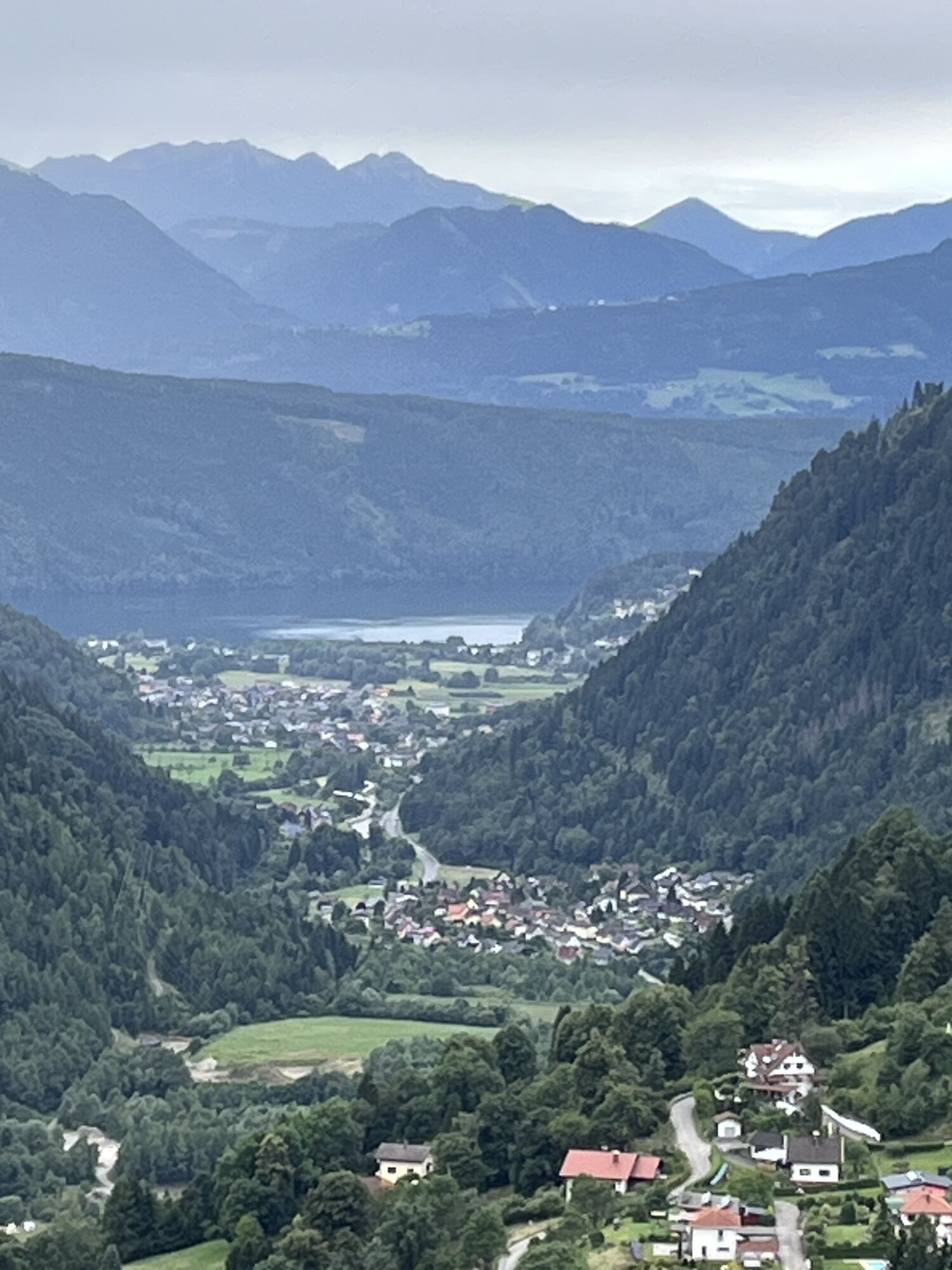
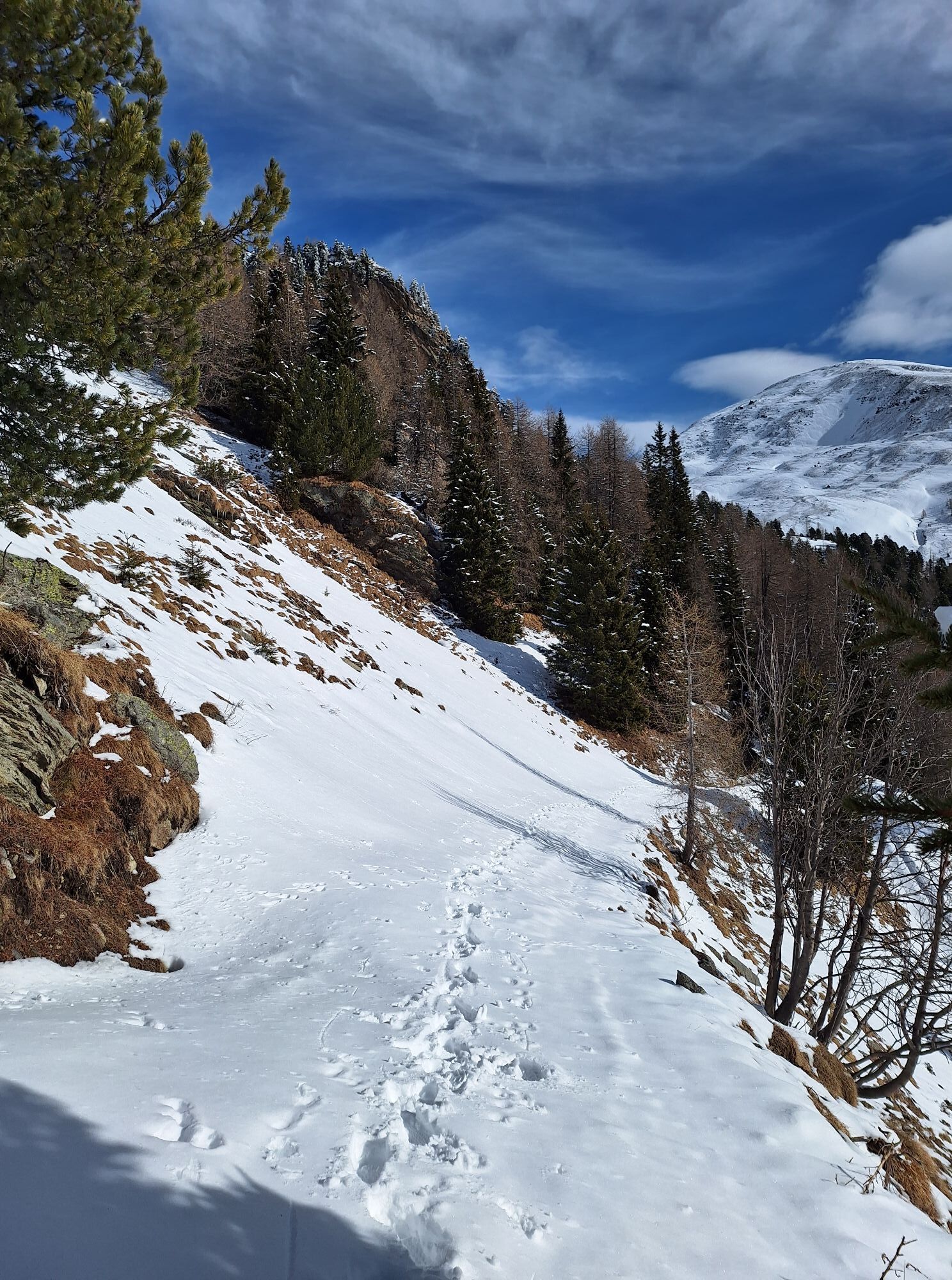
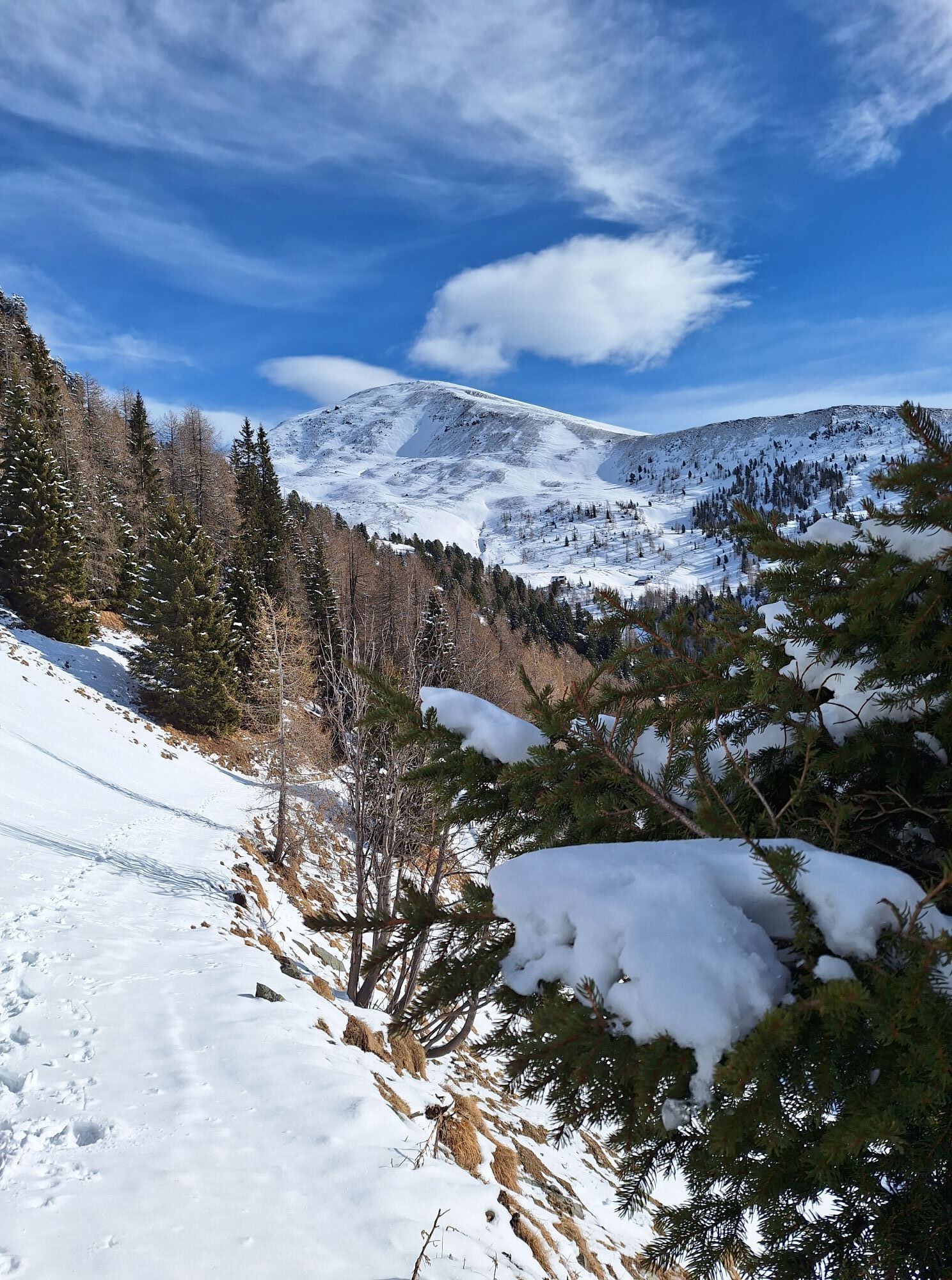
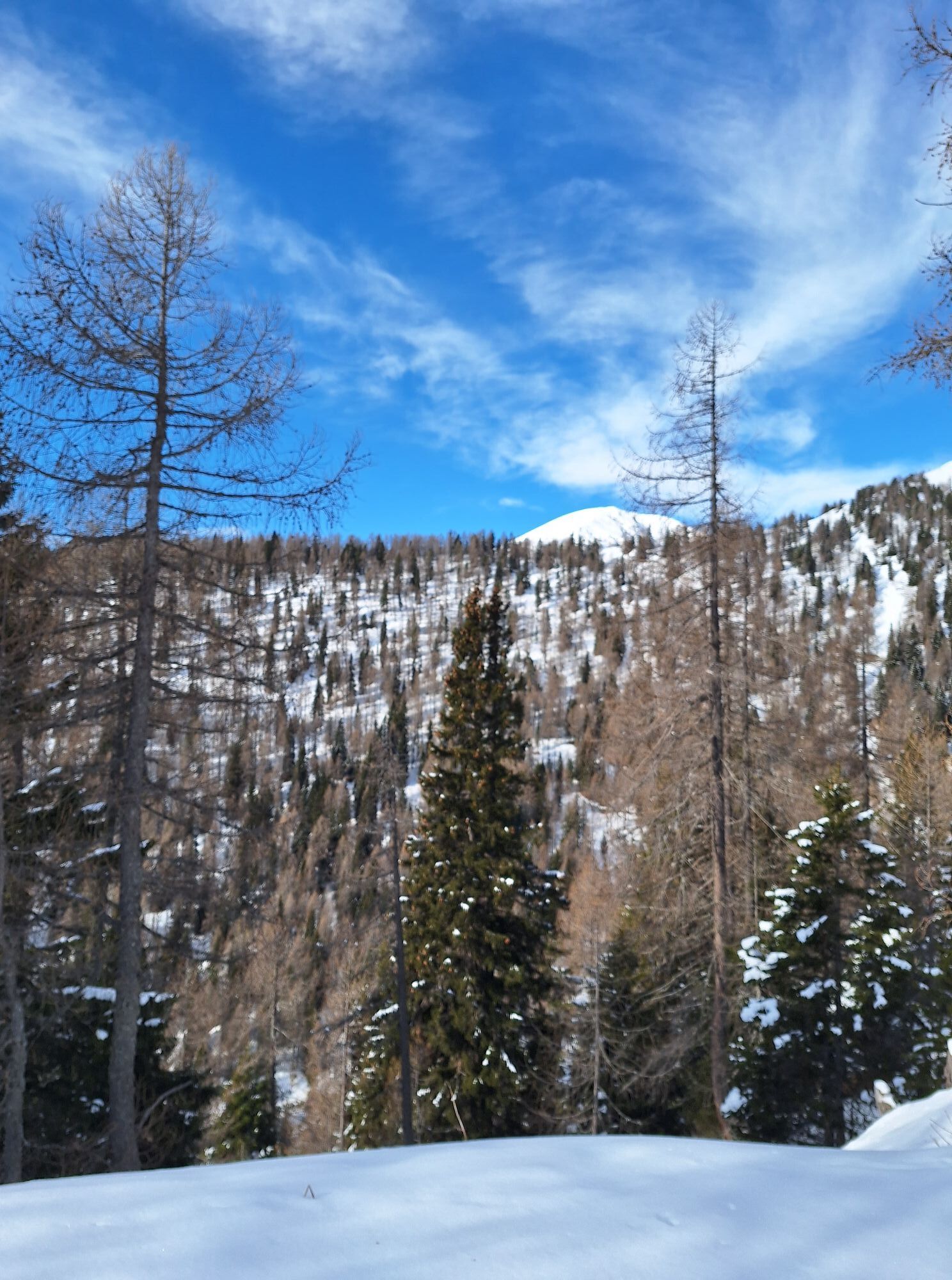
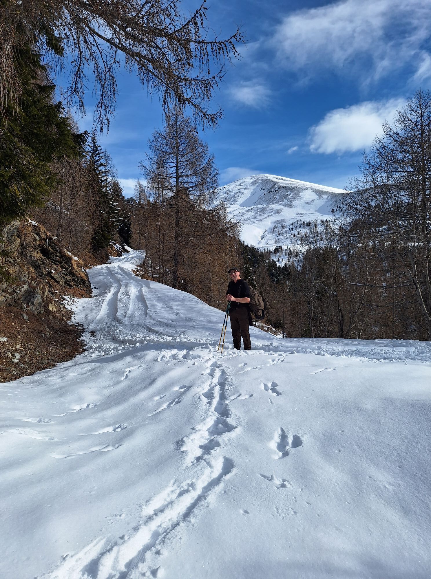
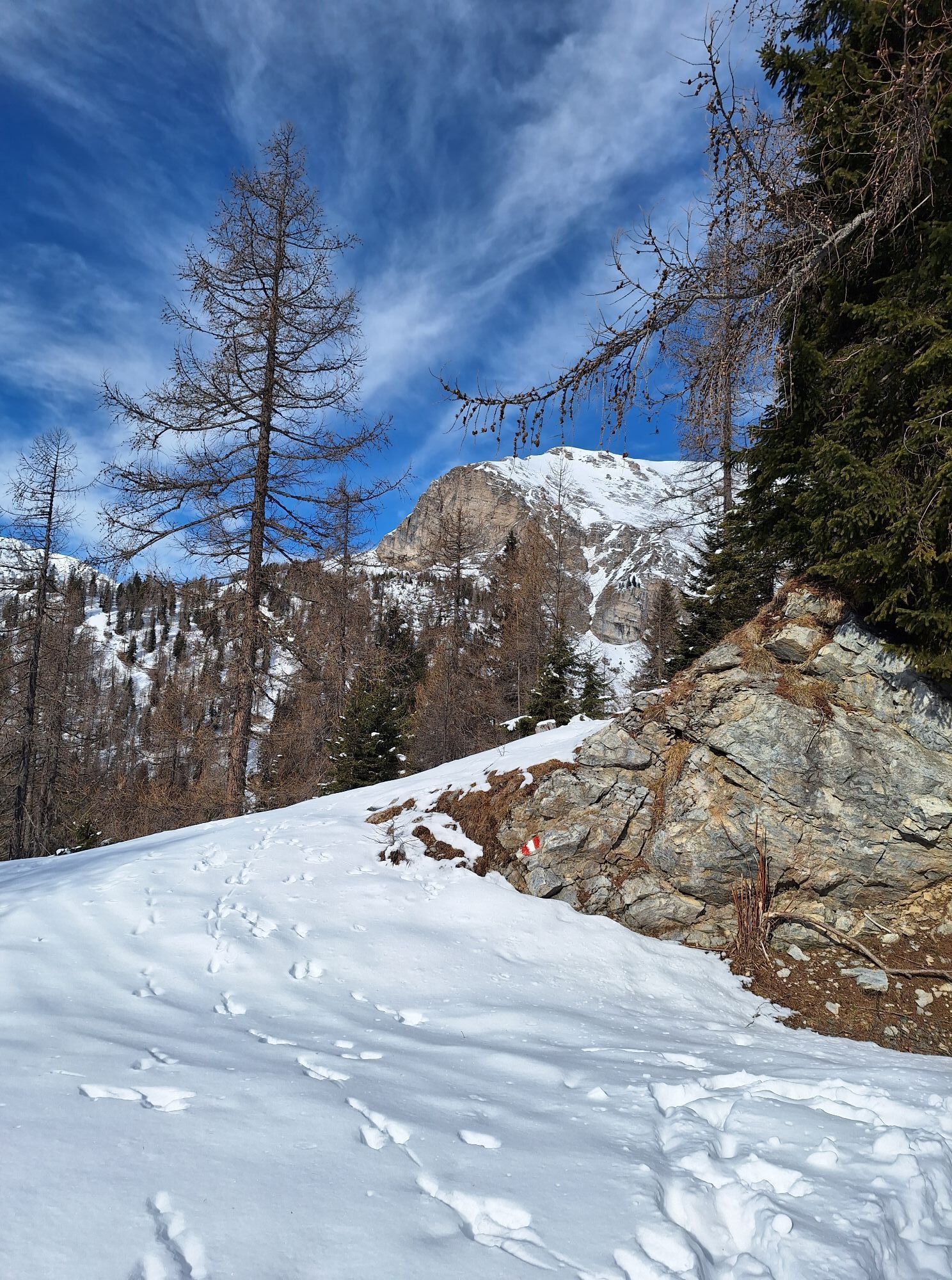
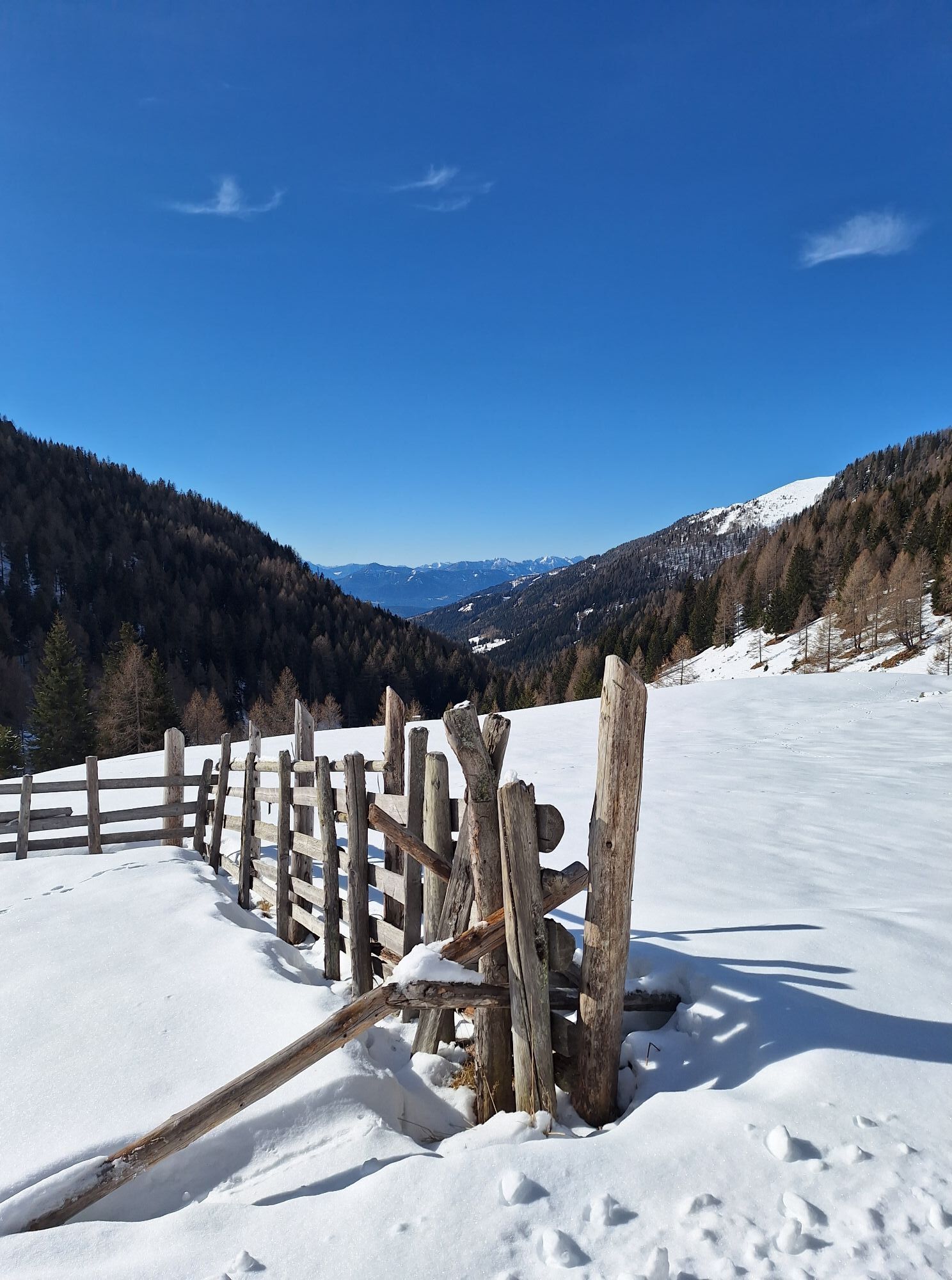
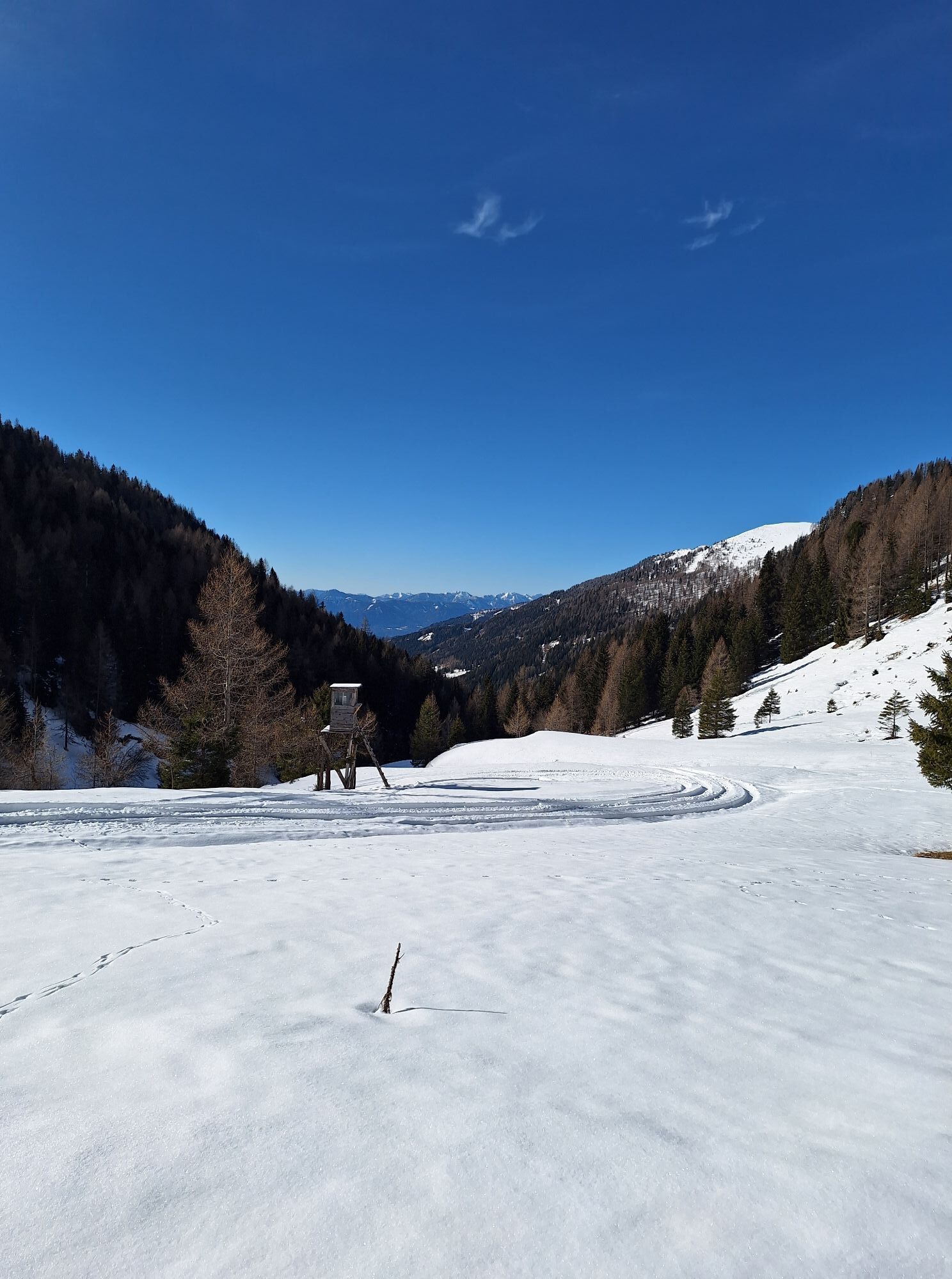
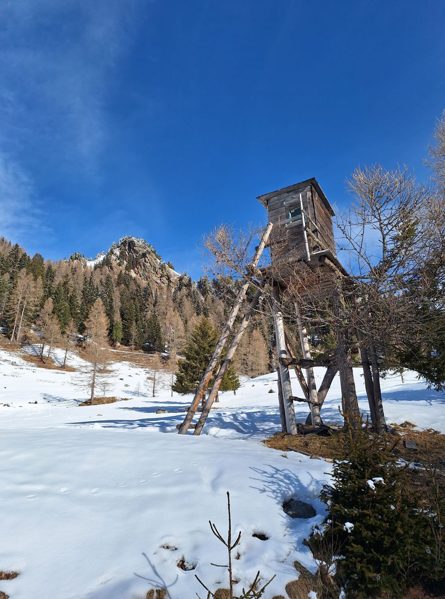
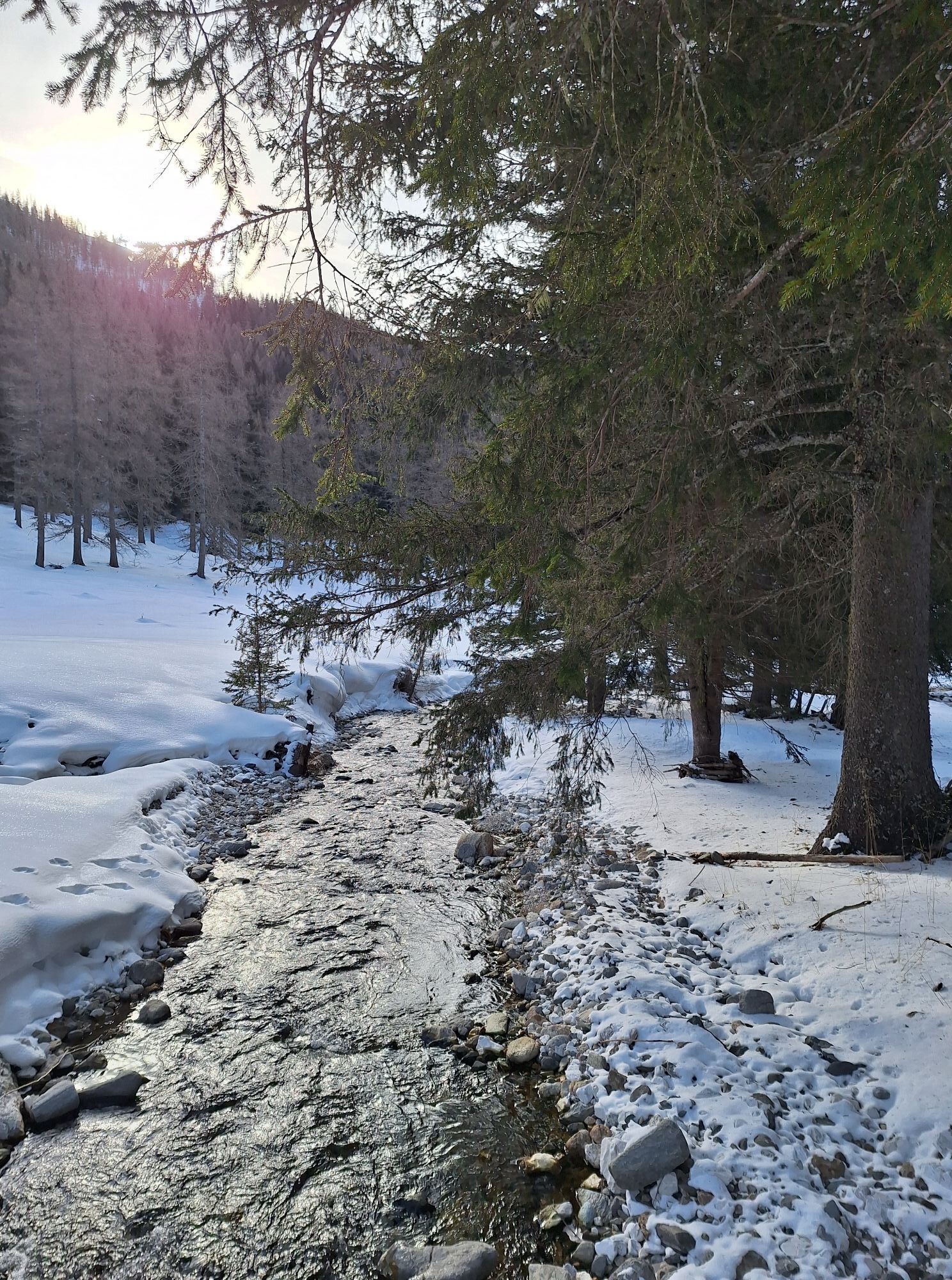


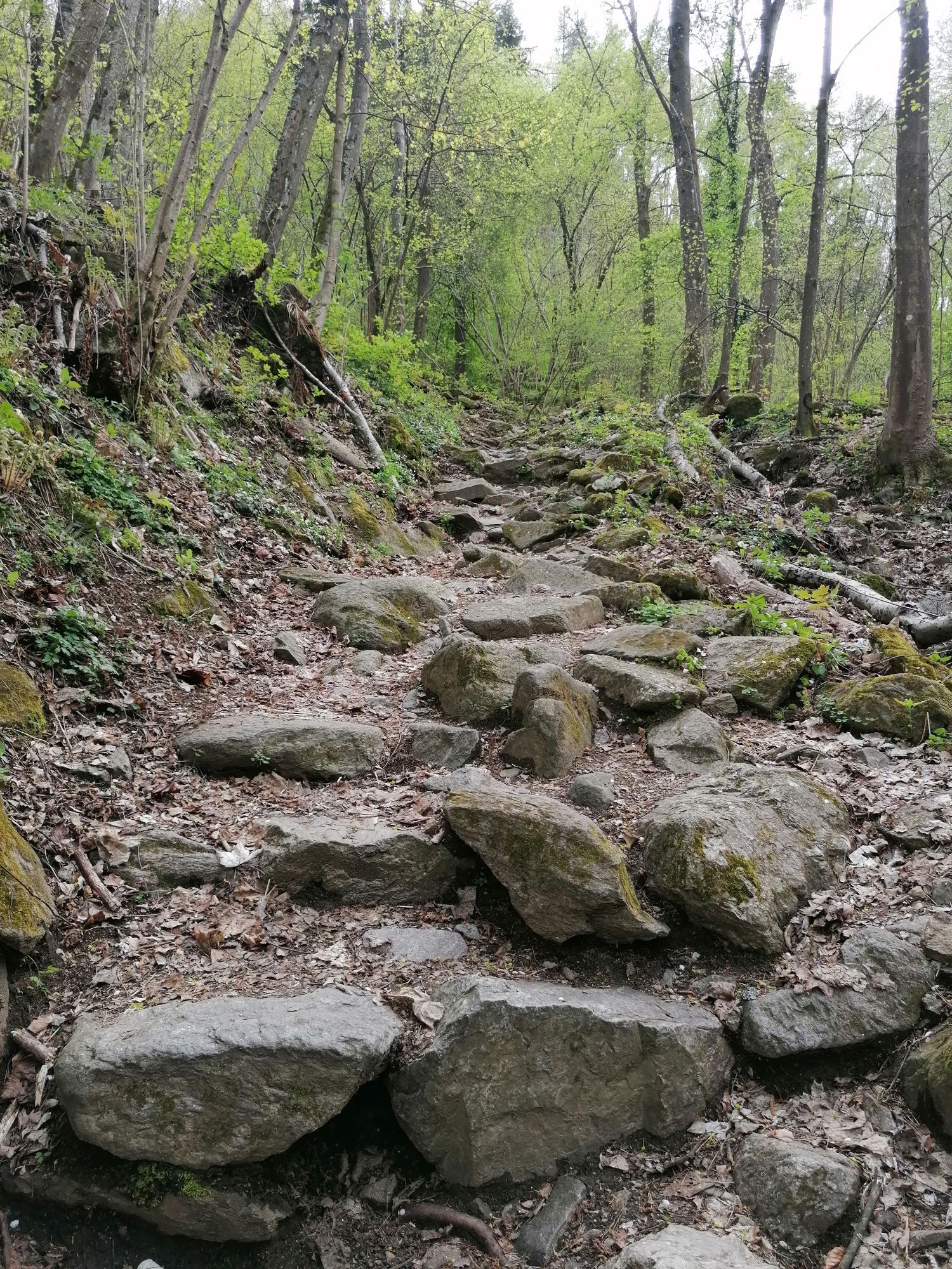
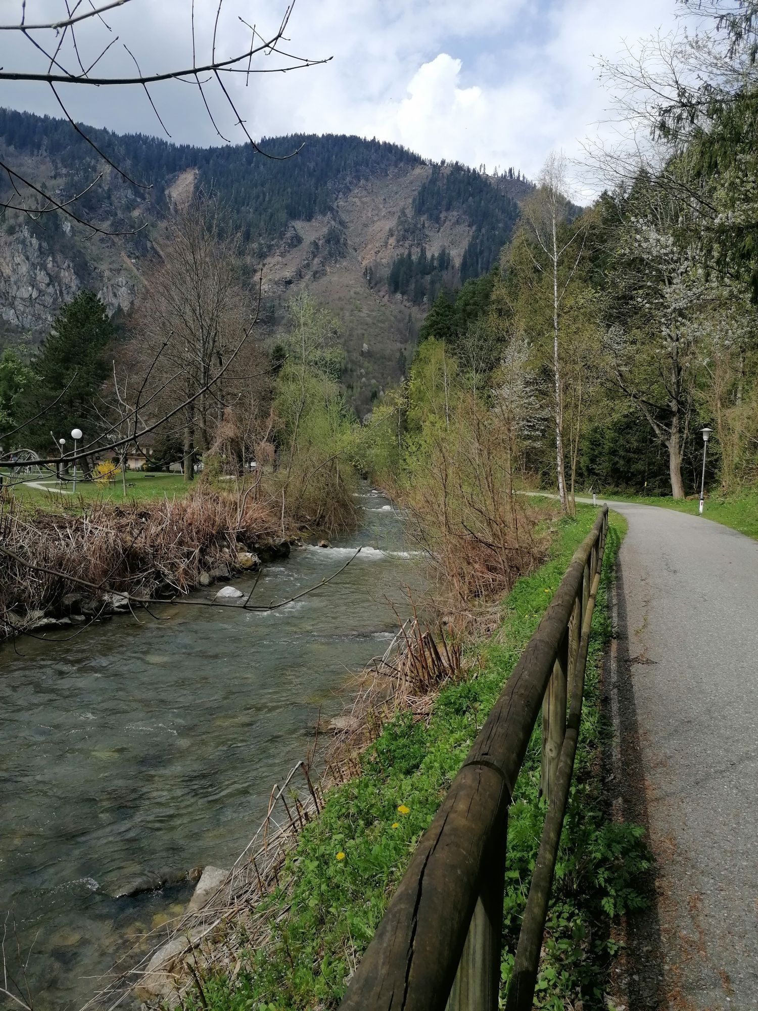
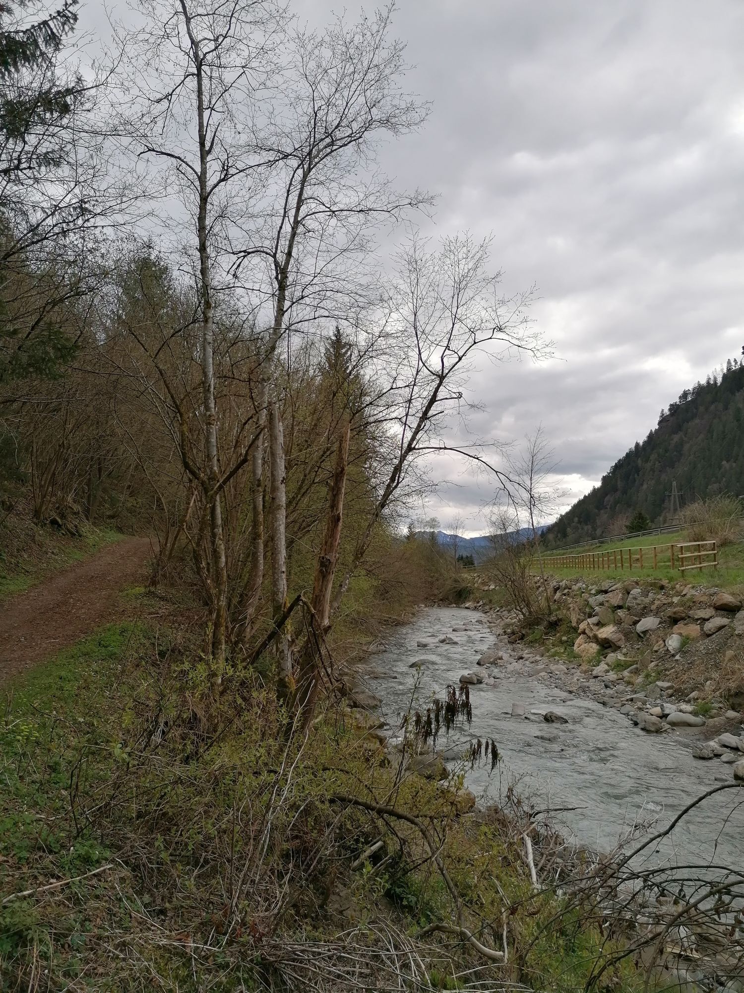
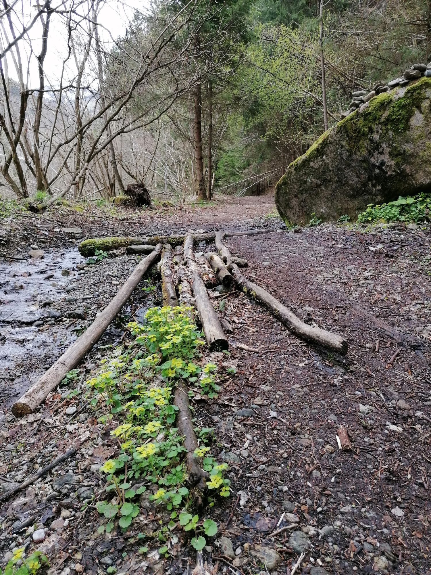
From Seespitz to Radenthein, starting from the place of the most beautiful sunset, along the Riegerbach stream at the foot of the Weltenberg Mirnocks, past orchards and relics of magnesite mining, you...
There, the circular trail through the town of Radenthein, which has changed from a farming village to an industrial town over the last 150 years, awaits. It is the central town in the Nockberge mountains and today you can still find evidence of both eras in Radenthein town center. The city tour leads past special places and buildings and tells interesting stories about the development of the garnet town. The end point of this stage is the Granatium with an exhibition, a tunnel and a mining area around the garnet gemstone. A new feature is the exhibition on the topic of "the work - once and now"
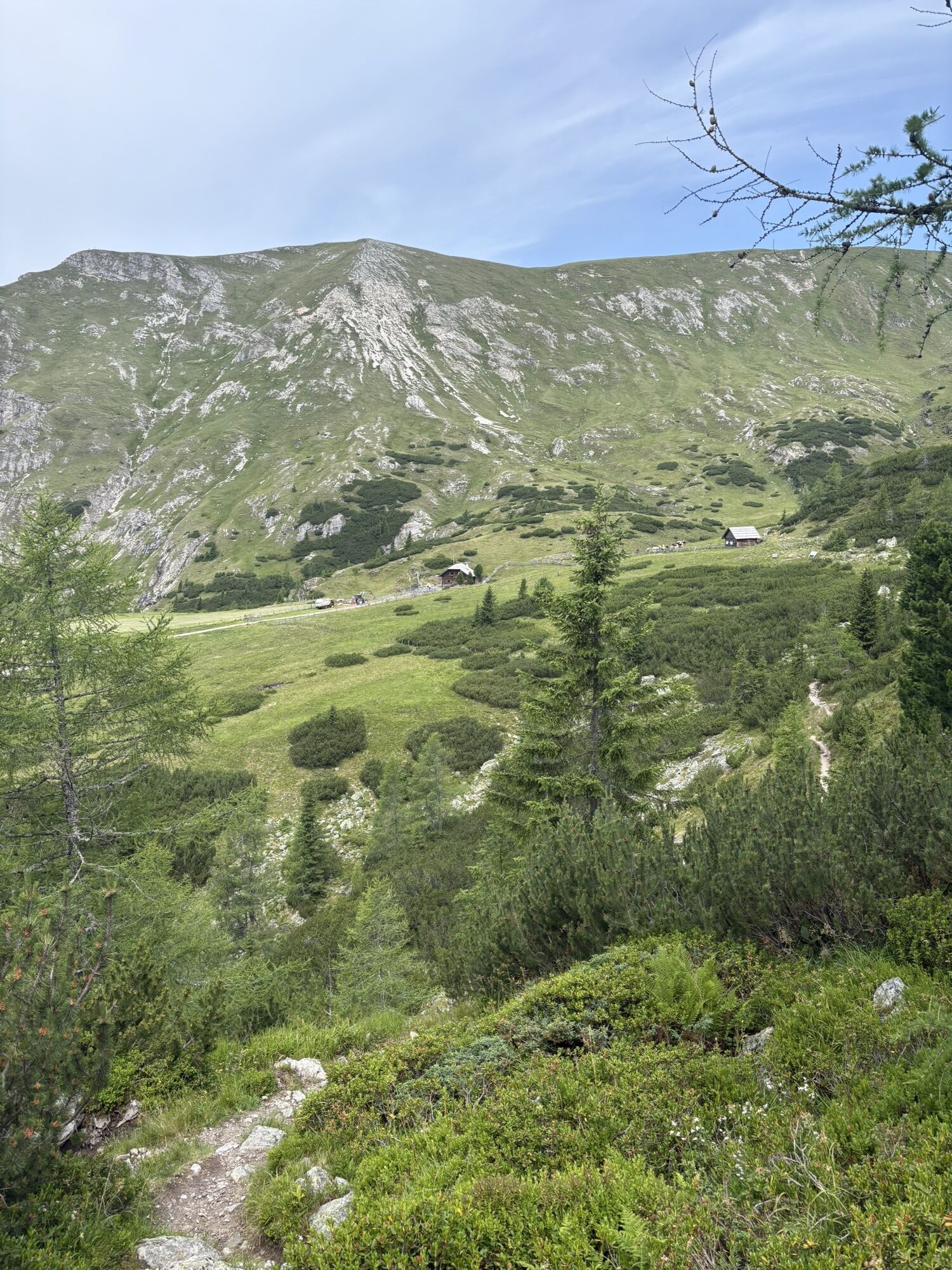
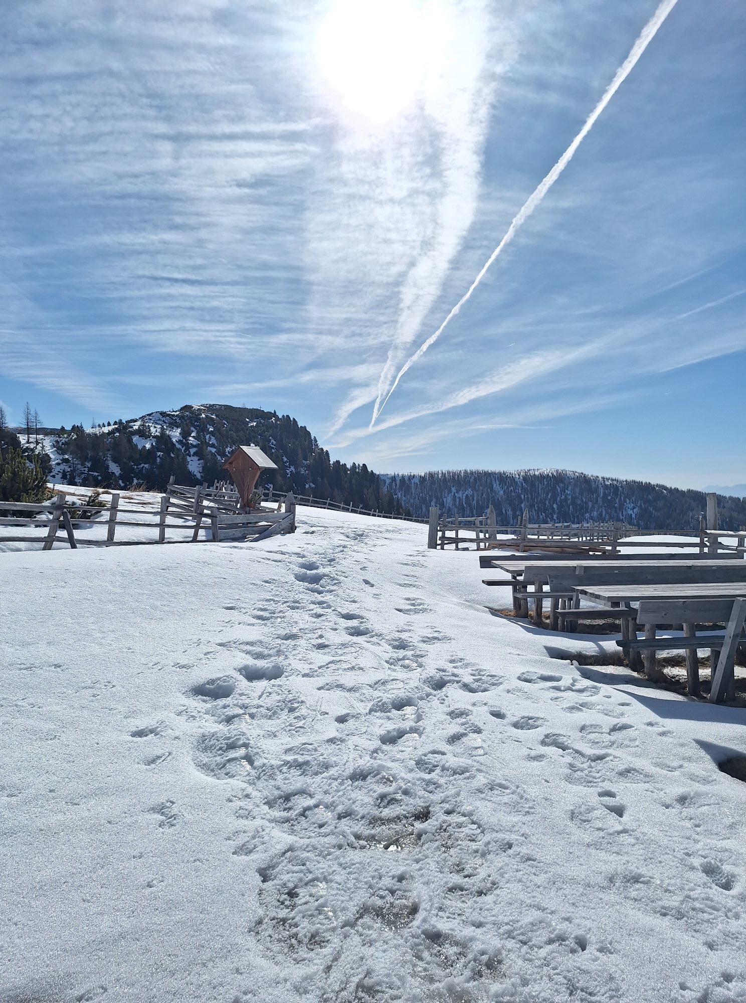
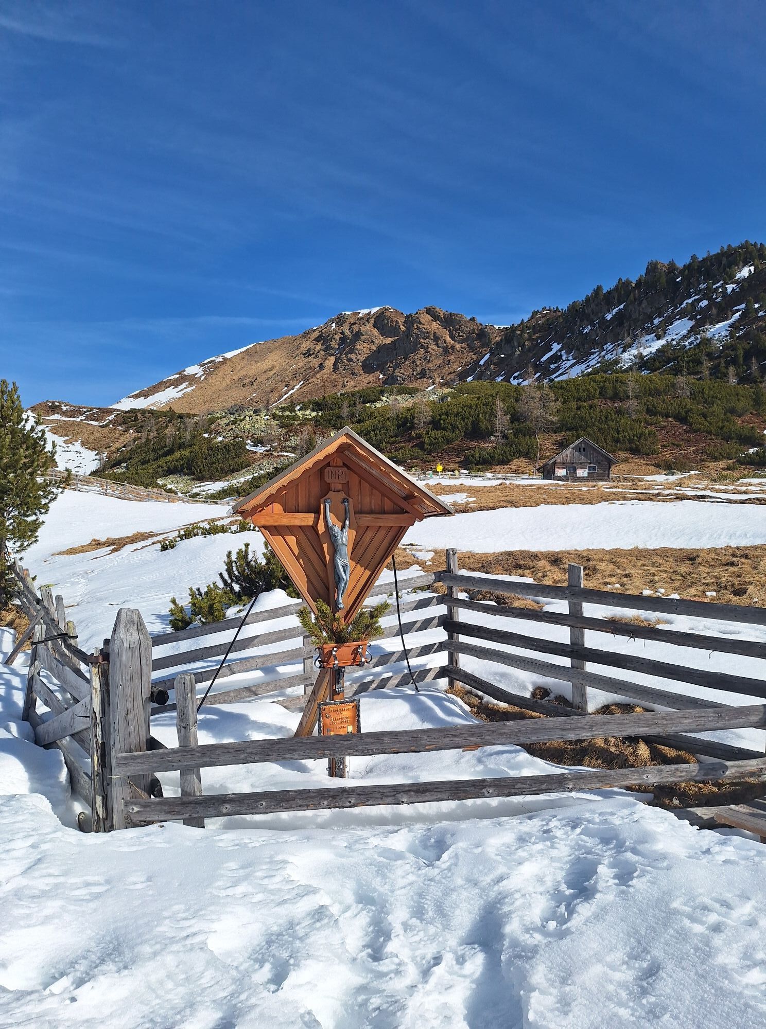
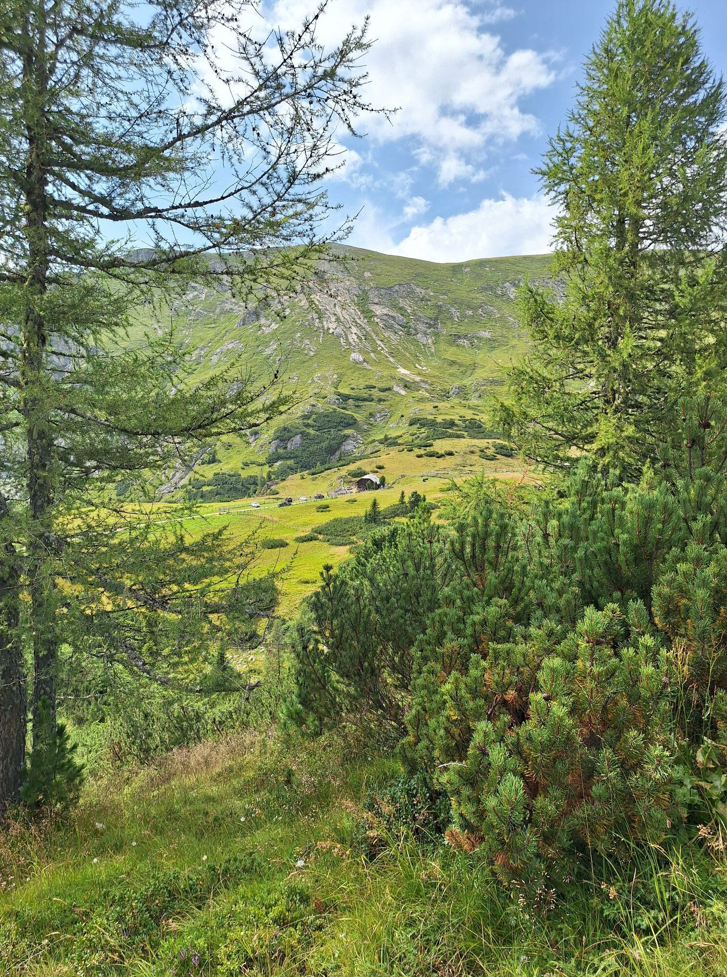
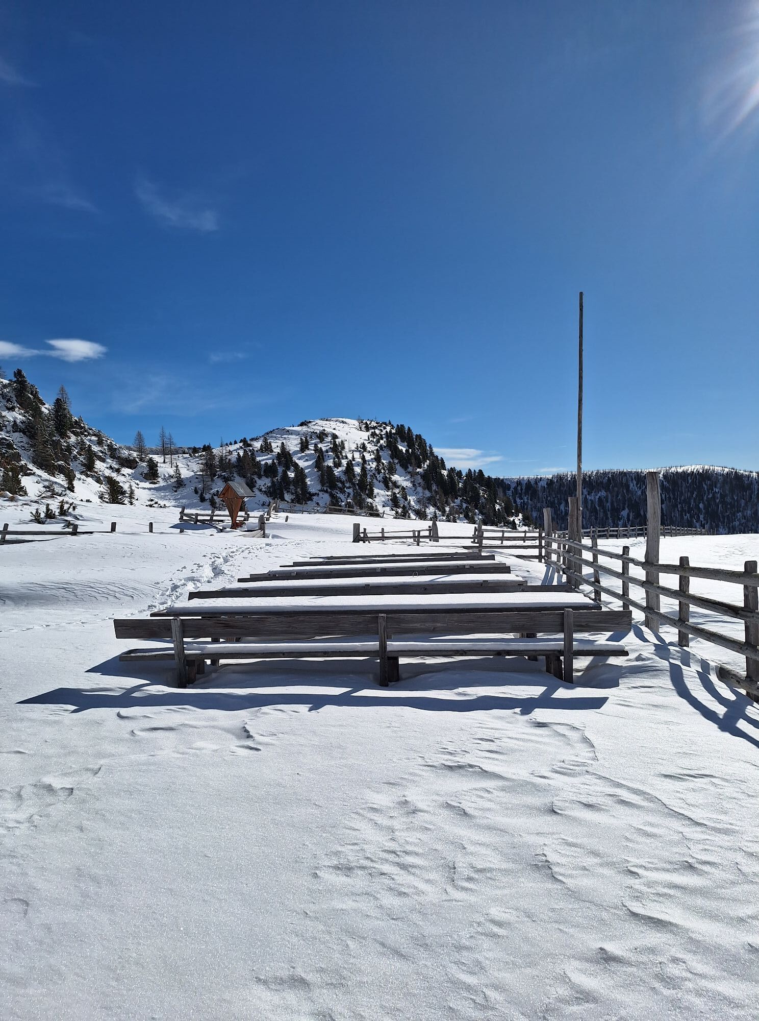
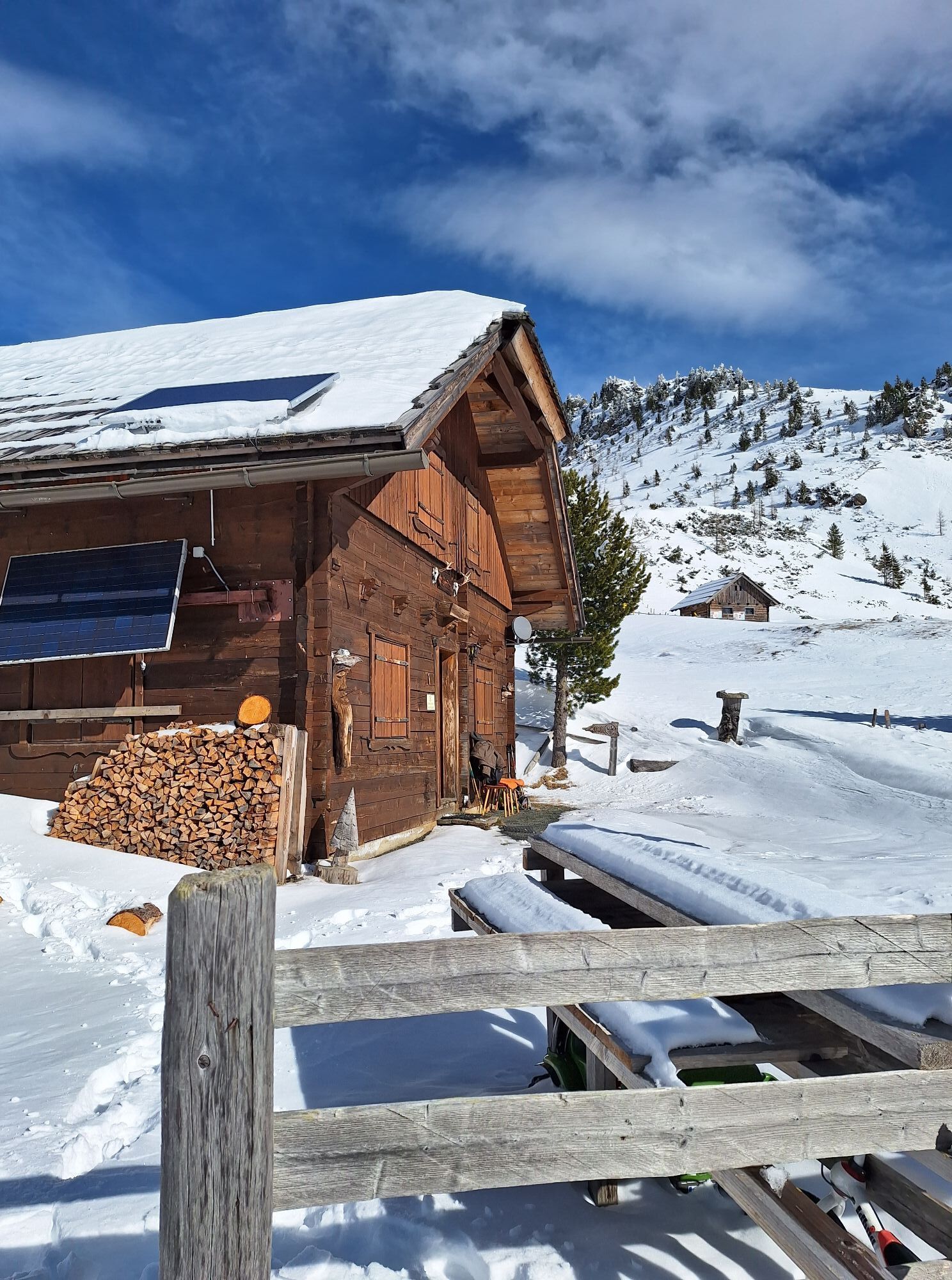
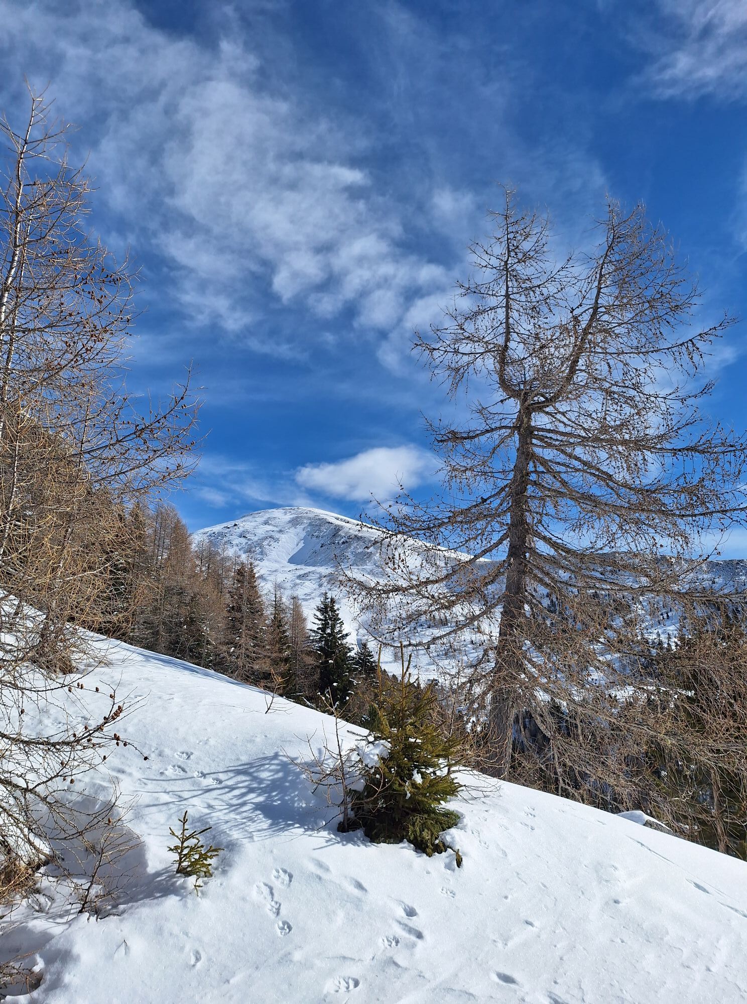
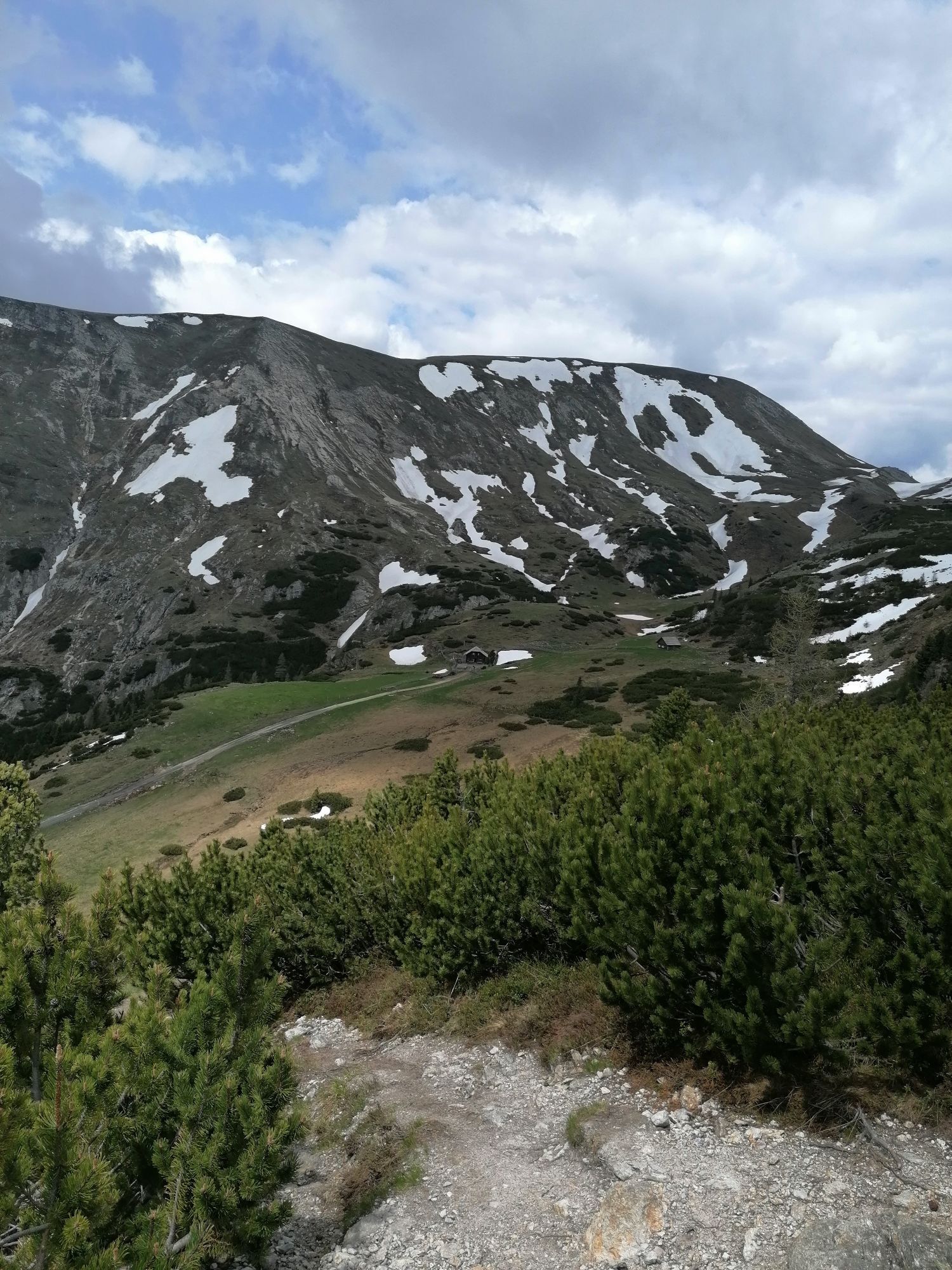
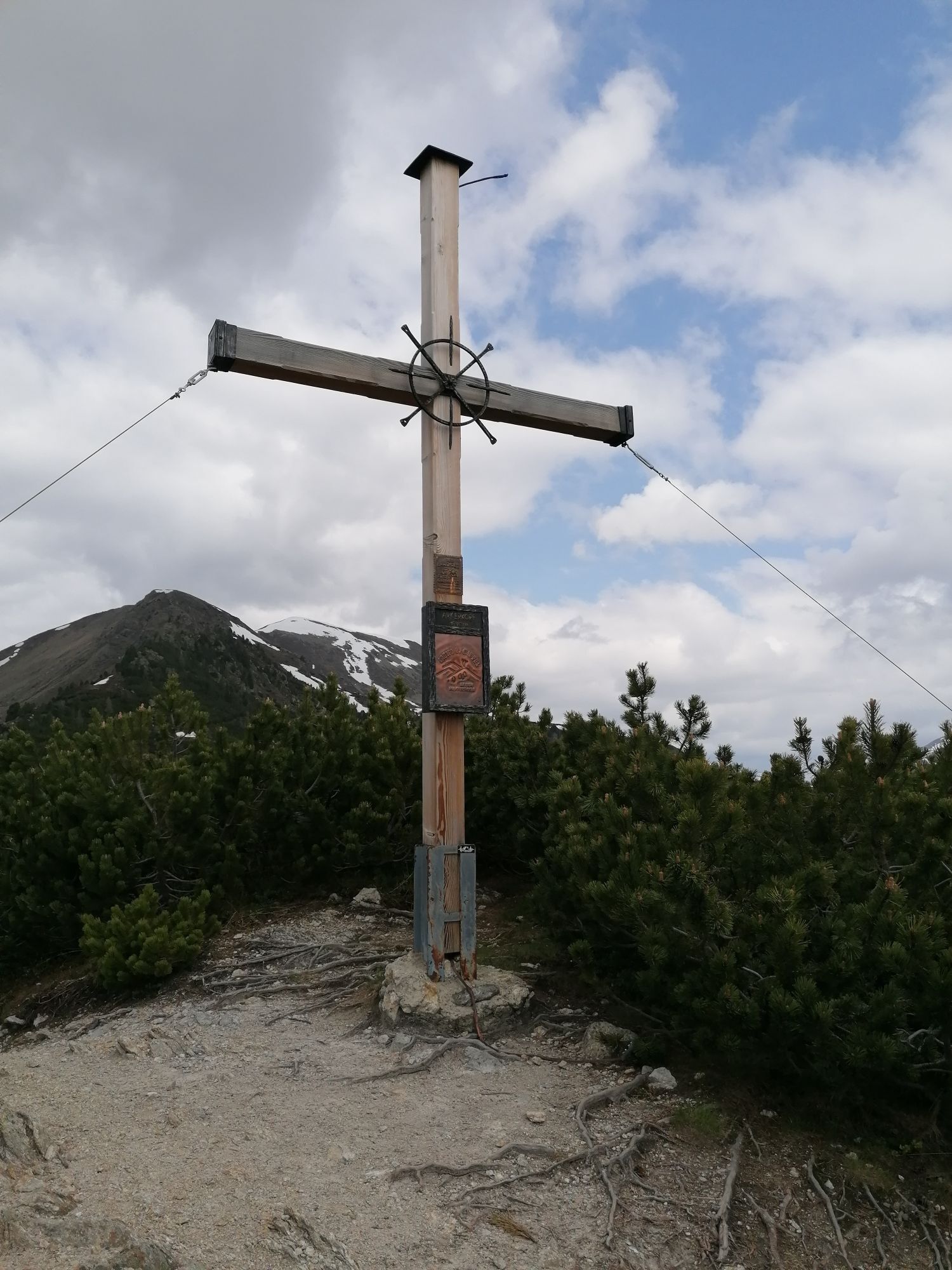
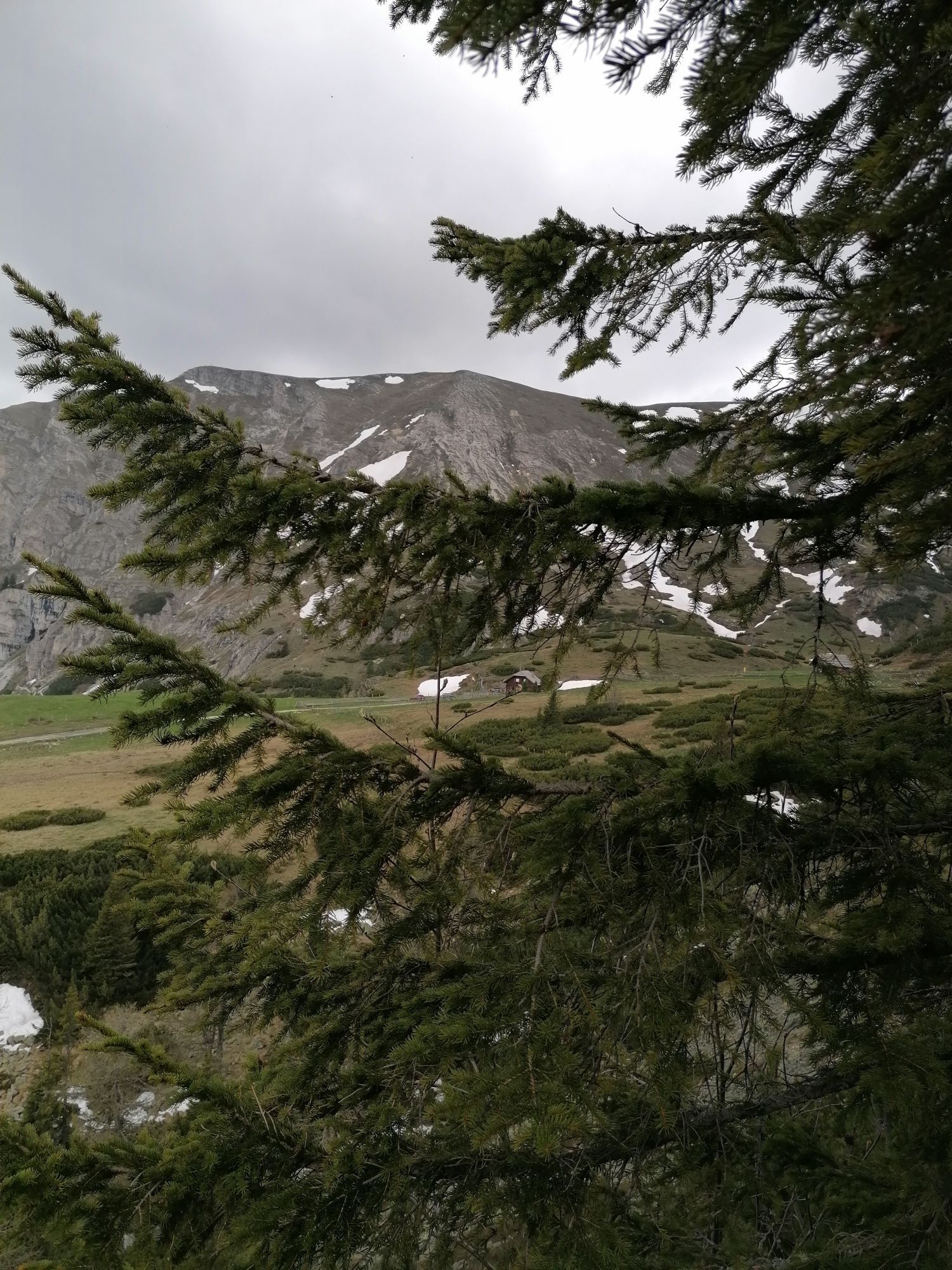
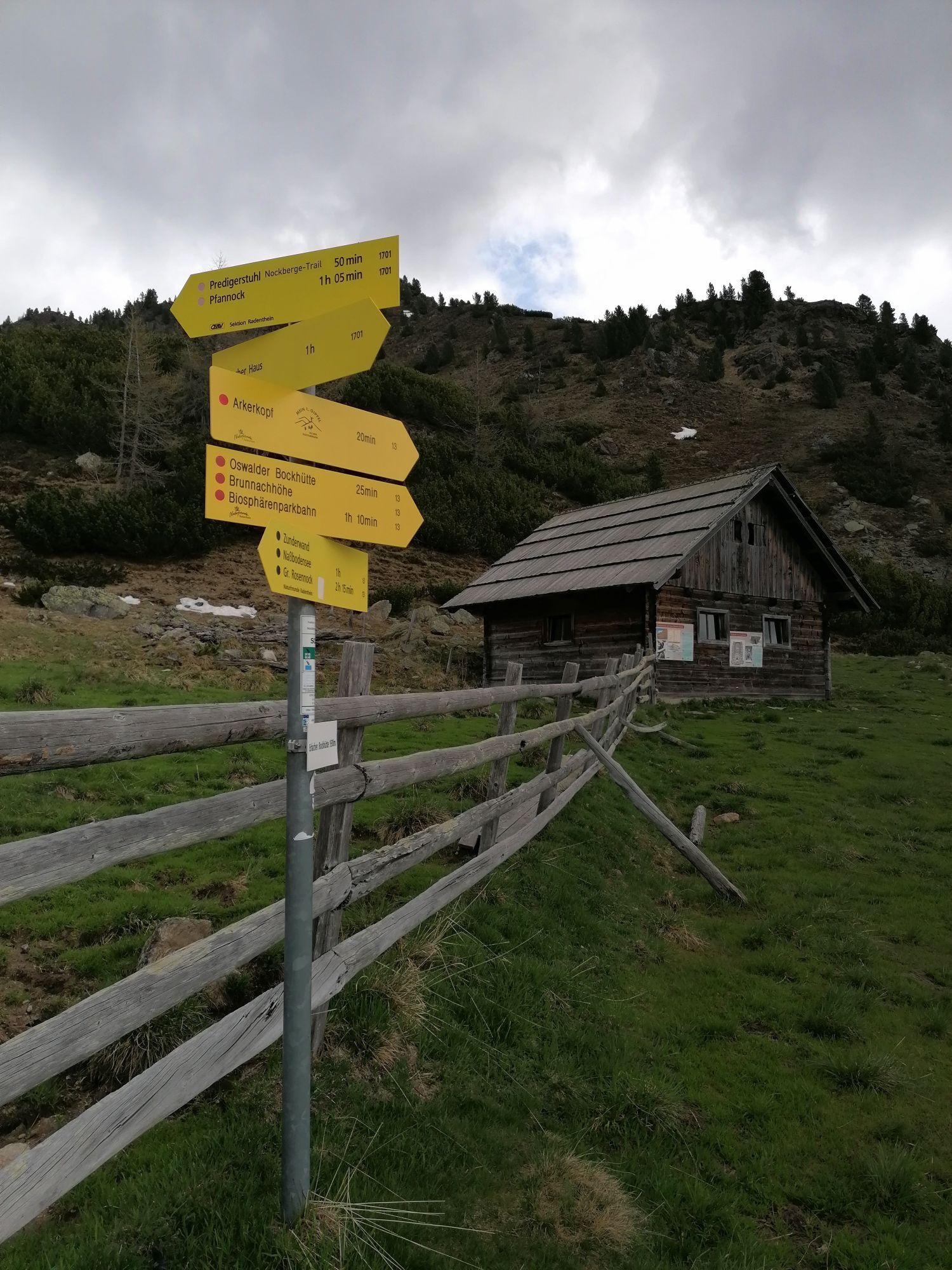
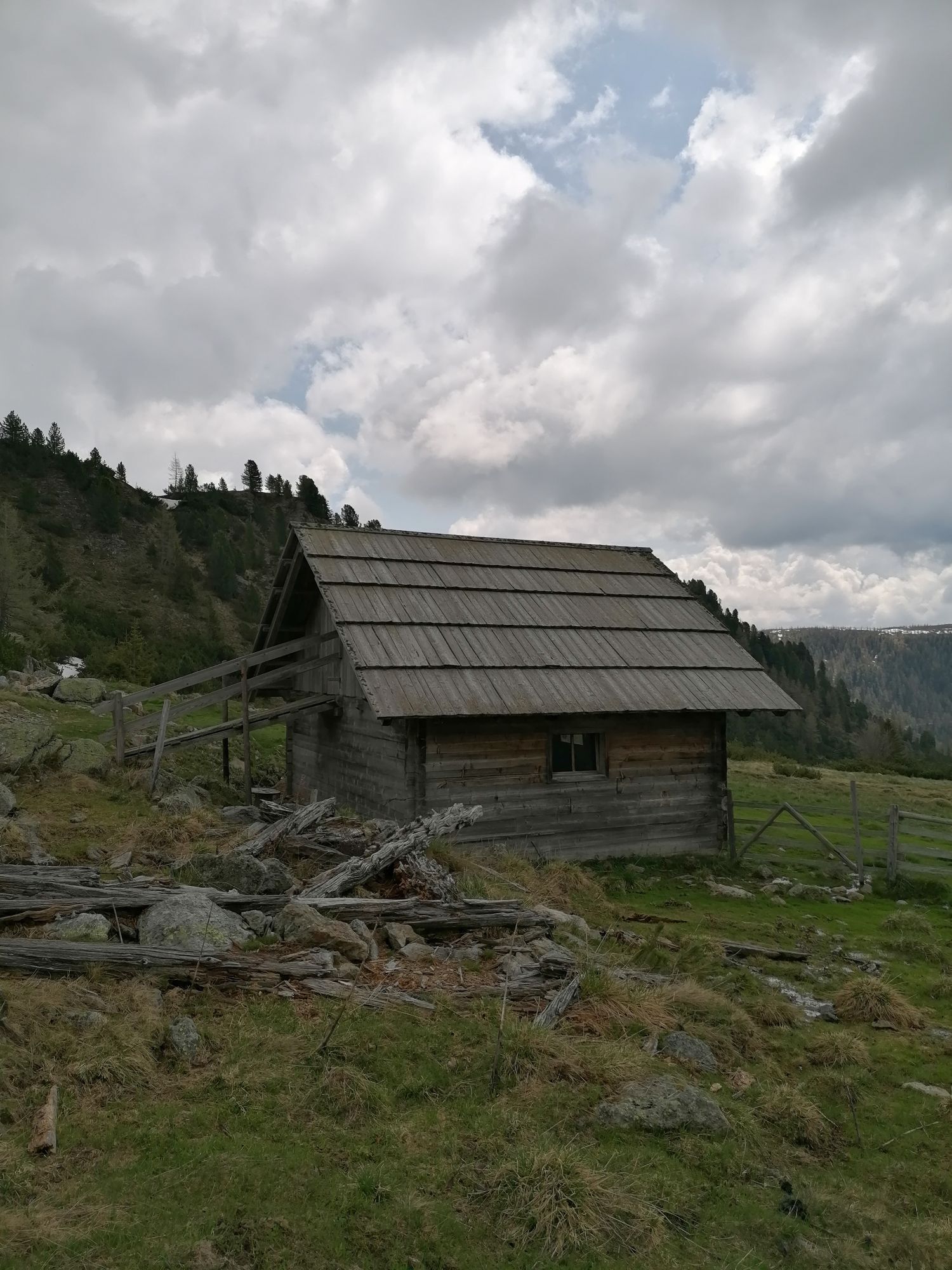
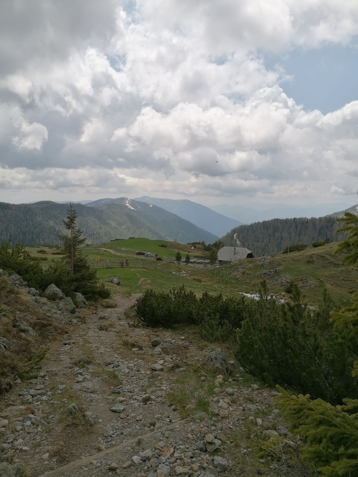
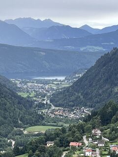
The longest stage leads above the Radenthein church, past one of the oldest wooden houses in the municipality, via a short but steep climb to the next level. From there, the route takes you through the districts of Frischg (hiking trail 175) and Mitterberg (hiking trail 178) - with wonderful views of the Gegendtal valley and Lake Millstätter See - to the Langalm valley. The untouched natural landscape with its numerous mountain streams and lakes, a great diversity of species characterizes this valley in the middle of the Carinthian Nockberge mountains. Here you will also find the largest spruce, larch and stone pine forest in the Eastern Alps and the intensely fragrant Speik. After a short rest at the Erlacherhaus, the last ascent continues and the tour ends with a happy view back at your stage destination, the summit of the Arkerkopf.
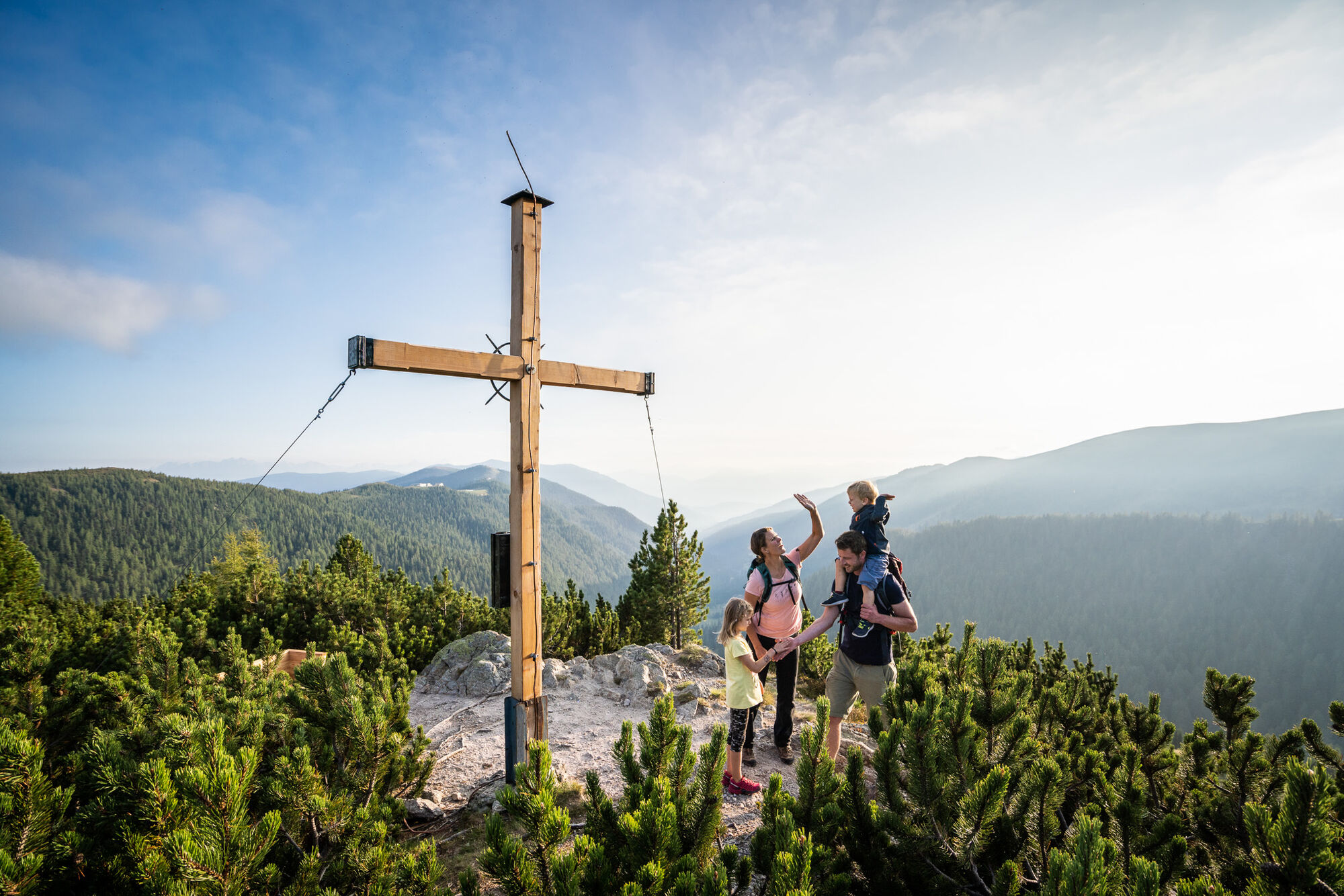


Follow the yellow markings and signs from Seespitz to Arkerkopf
Áno
The basic equipment includes
solid, well-fitting mountain or hiking boots with a non-slip treaded sole
waterproof and windproof mountain clothing in layers, hiking poles
Sunglasses, sun protection
Cell phone and hiking map
a first aid kit
as well as sufficient drinks and snacks
Careful tour planning based on descriptions and hiking maps is essential for the success of a mountain tour.
It is equally important to correctly assess the mountain experience, fitness, surefootedness, head for heights and resilience of all participants.
Never leave the marked hiking trails and avoid shortcuts.
Find out about the weather conditions before the hike and return to the valley if the weather deteriorates.
The mountains are there for everyone. It is the duty of every hiker to help keep them clean and well maintained. Take litter down into the valley and protect the flora and fauna.
Always keep dogs under control and on a short lead. If an attack by a grazing animal is imminent, put the dog on a lead immediately.
Austria's farmers make an important contribution to the preservation of our alpine landscape. Visitors are asked to respectfully adapt to this beautiful landscape.
Treat the people who work here, nature and the animals with respect.
Here are the most important emergency numbers in the event of an accident in Austria:
140 Alpine emergency call
144 Rescue emergency call
112 European emergency call (possible from all networks. Switch off your cell phone and dial "112" instead of the PIN after switching it on)
from the south Autostrada Udine - Tarvisio - Villach - Spittal/Drau; or from Villach via the Gegendtal valley to Radenthein/Döbriach - Millstätter See;
from the west Innsbruck - Felbertauernstraße or Brennerautobahn/Pustertal to Lienz - Oberdrauburg - Spittal/Drau to Radenthein/Döbriach - Millstätter See
from the north Munich - Salzburg - Tauernautobahn (A10) direction Spittal/Drau until exit Millstätter See (left turn) to Radenthein/Döbriach - Millstätter See
Nockmobil, www.nockmobil.at
Parking lot II - Parking lot near the lake, Strandweg 17, 9873 Döbriach - subject to charges from the beginning of May to the end of September
Parking lot III - opposite parking lot II, Seefeldstraße next to Riegerbachpromenade - subject to charges from the beginning of May to the end of September Parking lot IV - Kinoplatz 8, 9545 Radentheinopposite parking lot II, Seefeldstraße next to Riegerbachpromenade - chargeable from the beginning of May to the end of September
Parking lot IV - Kinoplatz 8, 9545 Radenthein
Parking lot V - Nockhalle, Stadionstraße 8, 9545 Radenthein
Three stages: Seespitz to Radenthein, stand tour, via Mitterberg to Langalmtal
Mixed media guide - starting point for each stage
Follow the yellow markings!
Získajte prehľad
Vždy naživo na mieste s viac ako 9 500 webovými kamerami. bergfex Ako používateľ Pro si teraz môžete pozrieť príslušné webové kamery pre mnohé zájazdy v aplikácii zájazdy z. Môžete si tak priamo prezerať aktuálne podmienky.


Obľúbené výlety v okolí
-
4,8
Enzian-Granatsteig & Almbrunn Steig
svetloTuristika 8 km -
4,8
Nockbergrundwanderweg
strednáTuristika 6,62 km -
4,8
Große Rosennock Runde
Turistika 9,80 km -
4,8
Lammersdorfer Hütte, Granattor Runde
svetloTuristika 9,85 km -
4,7
Falkertsee - Sonntagstal - Falkert
strednáTuristika 4,84 km -
4,8
Falkert, Murmelsteig B/C mit Direktem Abstieg
strednáVia ferrata 3,61 km -
4,7
H-2-O Höhenweg
svetloTematická trasa 5,40 km -
4,6
Millstätter See cycle track
strednáCyklistika 27,7 km -
4,8
St. Oswald - Circular hike - Mallnock - Klomnock
strednáTuristika 10,9 km -
4,8
Nockhöhensteig
strednáTuristika 7,67 km
Turistika a stopovanie


Nenechajte si ujsť ponuky a inšpiráciu na ďalšiu dovolenku
Vaša e-mailová adresa bol pridaný do poštového zoznamu.





