







TW_N12 Wieserberg and St. Helena Church

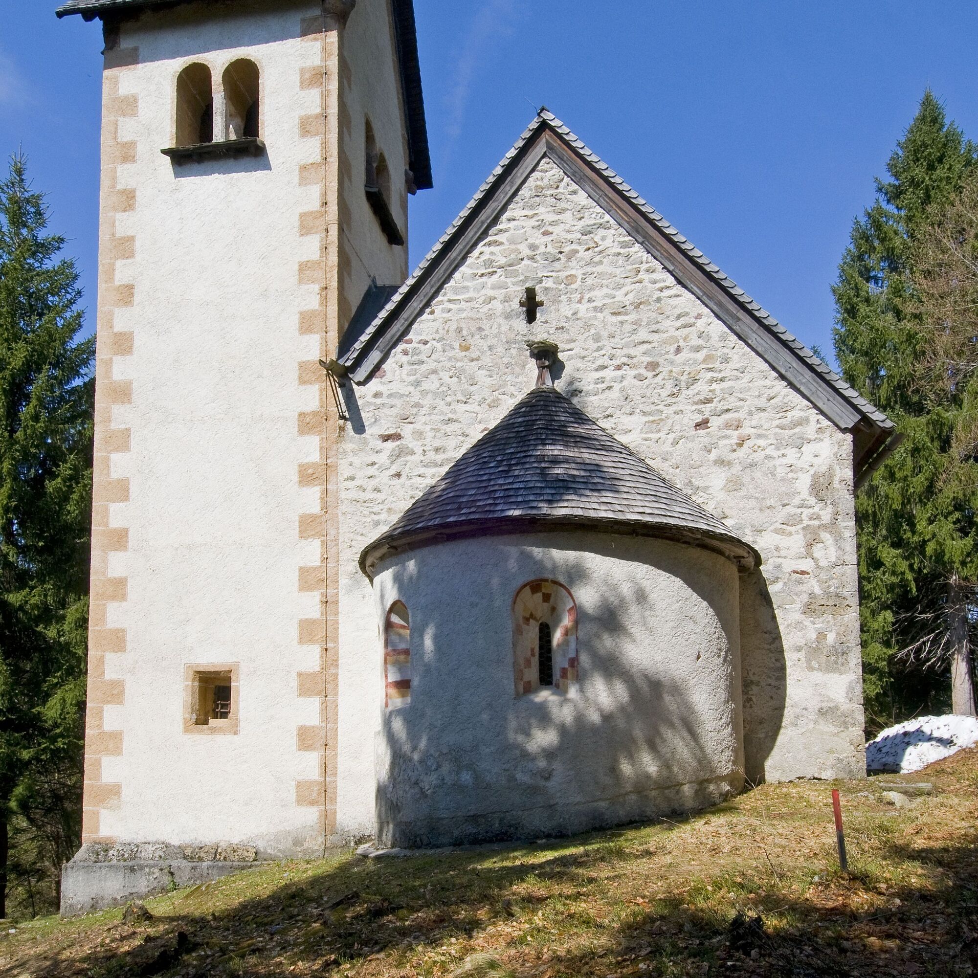
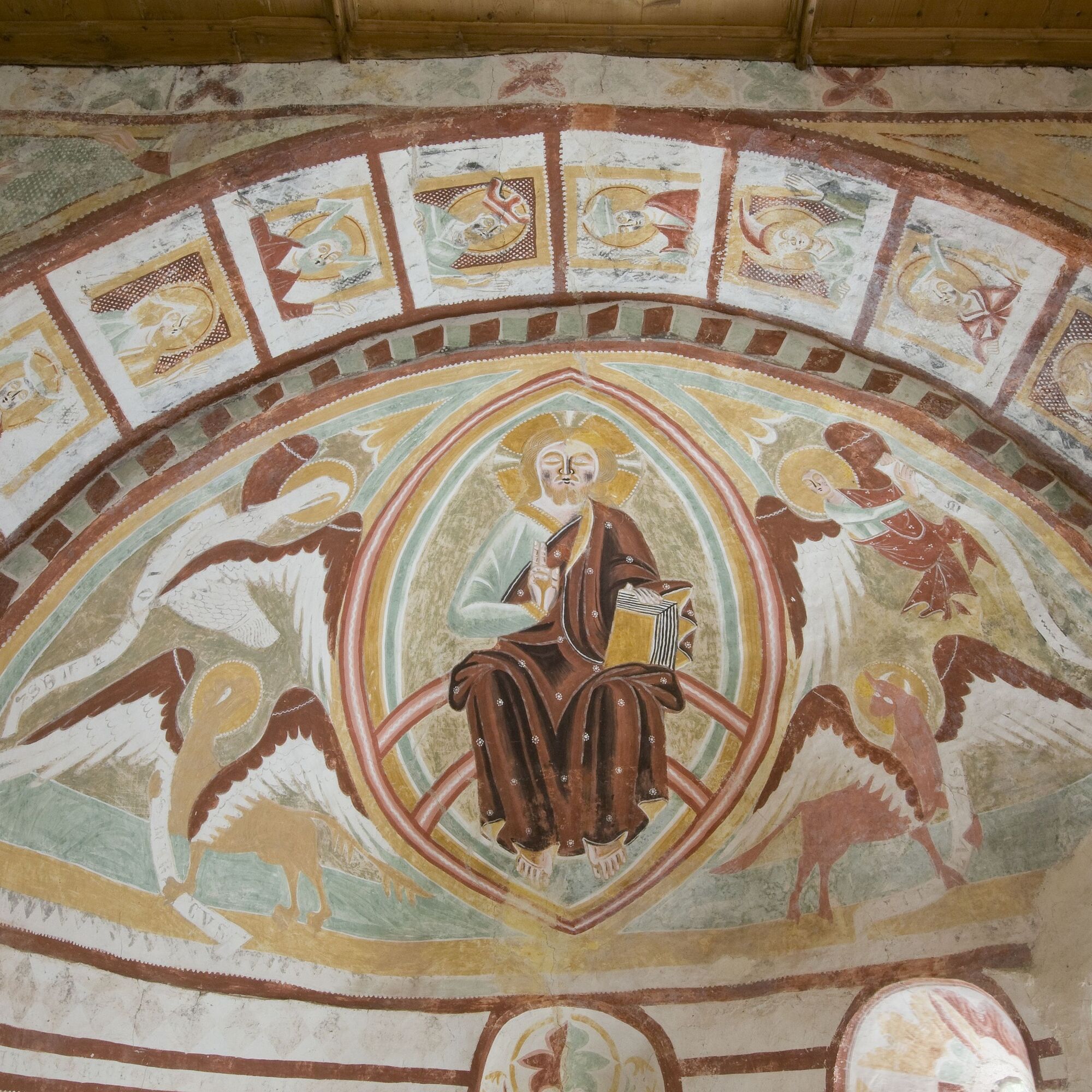
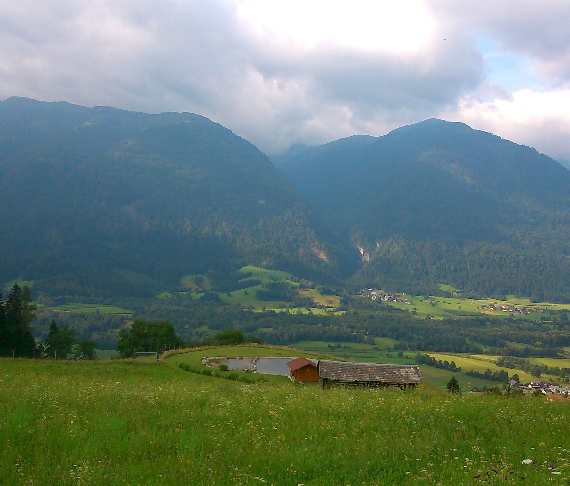

Start of the round at the Dellach War Cemetery. The route leads to Leifling. Turn left at the first striking curve. You will reach Grafendorf via a field path past the Stefanienbad. There you follow the street until the marked junction towards St. Helena. From there follow the markings. St. Helena on the Wieserberg - lonely high above the valley, is a special gem and is often used as a wedding church. Building: Romanesque hall building with small semicircular apse and late Gothic tower (early 16th century).
To return to the starting point of the route, follow the mountain road back downhill to the war cemetery.
Áno
Áno
FAIR PLAY & RESPECT:
Awareness for nature – landowners – your health…. and safety on the mountain have the highest priority for your route and the associated route planning!
Therefore, inquire about the rules of conduct before every hike - Safety on the Mountain - as well as the current weather situation.
Waste disposal:
Waste is not always avoidable – but it has no place in nature and must be properly disposed of (preferably in the valley or at home).
Emergency numbers:
European emergency number: 112 (access to every available network)
Austrian alpine emergency number: 140
From the direction of Klagenfurt – Villach – exit Gailtal/Hermagor – B111 Gailtal federal road to Dellach
Access by bus and train, possibility to get on and off in Dellach
Parking available at the war cemetery on the Dulln or at the parking lot for visitors of the Hercules Temple
Parking available at Wieserberg (near the farm)
Are you looking for hiking tips in the region as well as a state-certified guide for a guided mountain hike?
You can find this and many other infos at - Tour tips and provider information
Places to eat:
In Dellach and the surrounding towns there are numerous year-round open places to eat - details are available under Service A-Z.
The key for the church is available during the opening hours of the municipal office (Mon - Thu 7:30 AM - 3:45 PM, Fri 7:30 AM - 12:00 PM) upon presentation of a photo ID. Tel.: 04718-301
Získajte prehľad
Vždy naživo na mieste s viac ako 9 500 webovými kamerami. bergfex Ako používateľ Pro si teraz môžete pozrieť príslušné webové kamery pre mnohé zájazdy v aplikácii zájazdy z. Môžete si tak priamo prezerať aktuálne podmienky.
Obľúbené výlety v okolí
-
4,7
Drau Cycle Path R1
svetloCyklistika 75,9 km -
3,7
Cellon-Stollen und Senza Confini auf den Cellon und Steinberger Weg zum Abstieg
strednáVia ferrata 7,09 km -
4,8
RW_W4 Mittagsnock - Naggleralm - retour über Steig
strednáTuristika 10,6 km -
4,9
LS_W7 "Promenade Path"
svetloBeh 6,28 km -
5,0
Plöckenhaus - Polinik - Plöckenhaus
ťažkéTuristika 10,9 km -
5,0
Emberger Alm 3er: Nassfeld, H.Gränten, Knoten
strednáTuristika 11,6 km -
3,6
RW_N61 Kleiner Pal (1,867 m)
ťažkéTuristika 6,52 km -
4,6
KL_N5 Crete Rosse
strednáVia ferrata 6,96 km -
5,0
Water Experience Trail Greifenburg
strednáTuristika 7,42 km -
5,0
Möselalm - Weißbriach/Gitschtal
svetloTuristika 5,12 km
Turistika a stopovanie


Nenechajte si ujsť ponuky a inšpiráciu na ďalšiu dovolenku
Vaša e-mailová adresa bol pridaný do poštového zoznamu.





