






Wöllaner Nock – Alpine route | nock/art Route 3
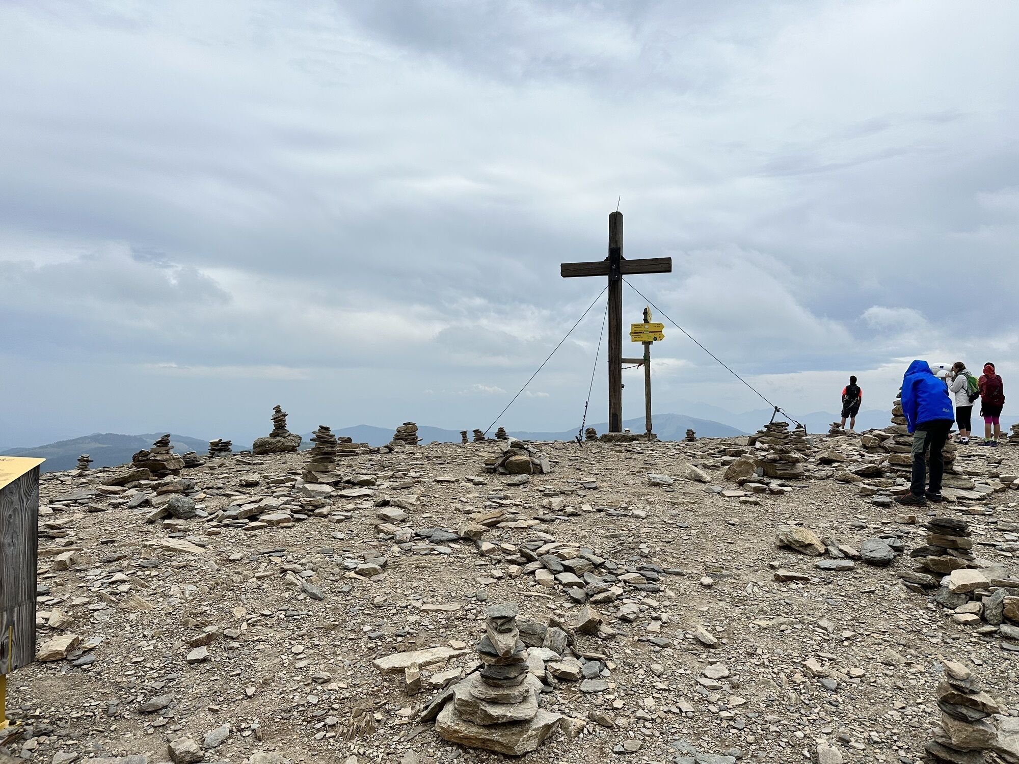
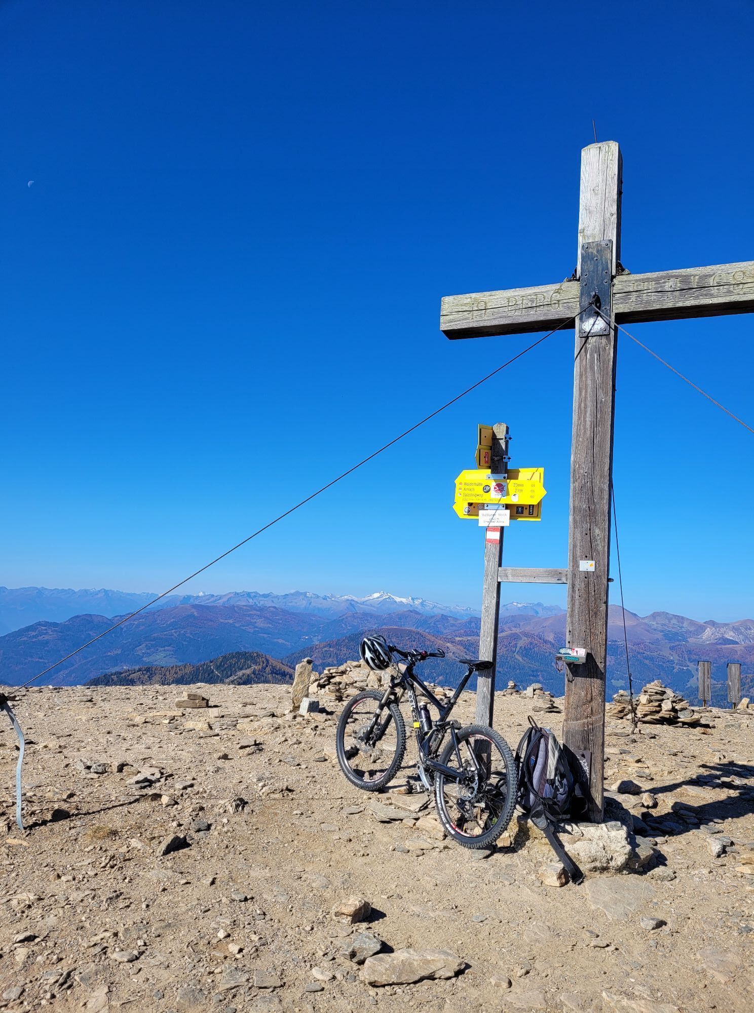
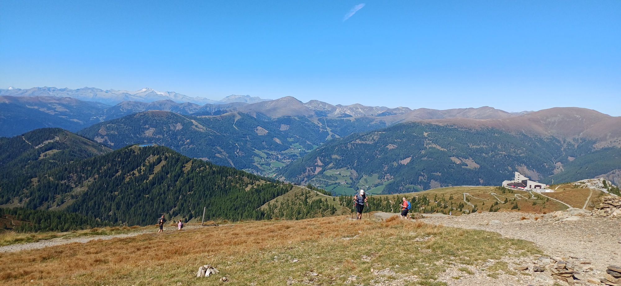


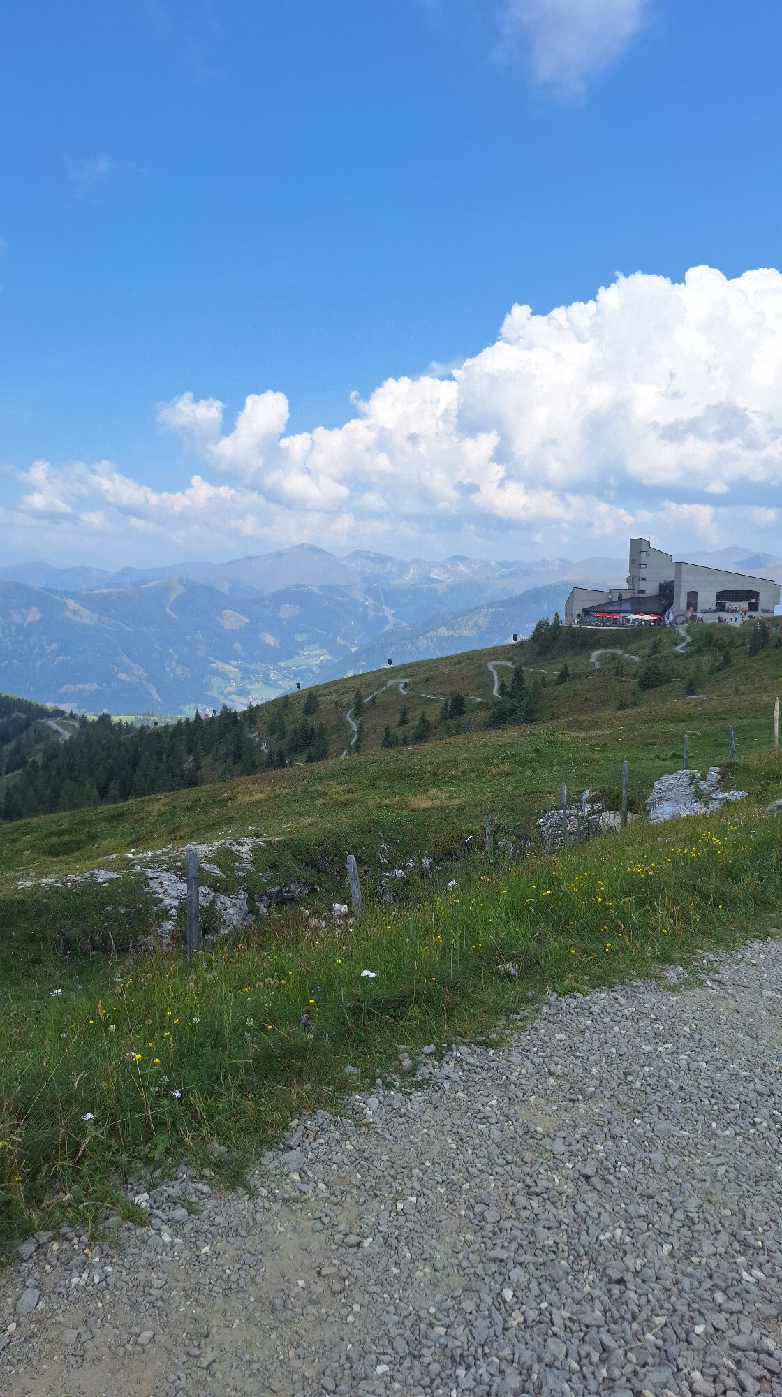
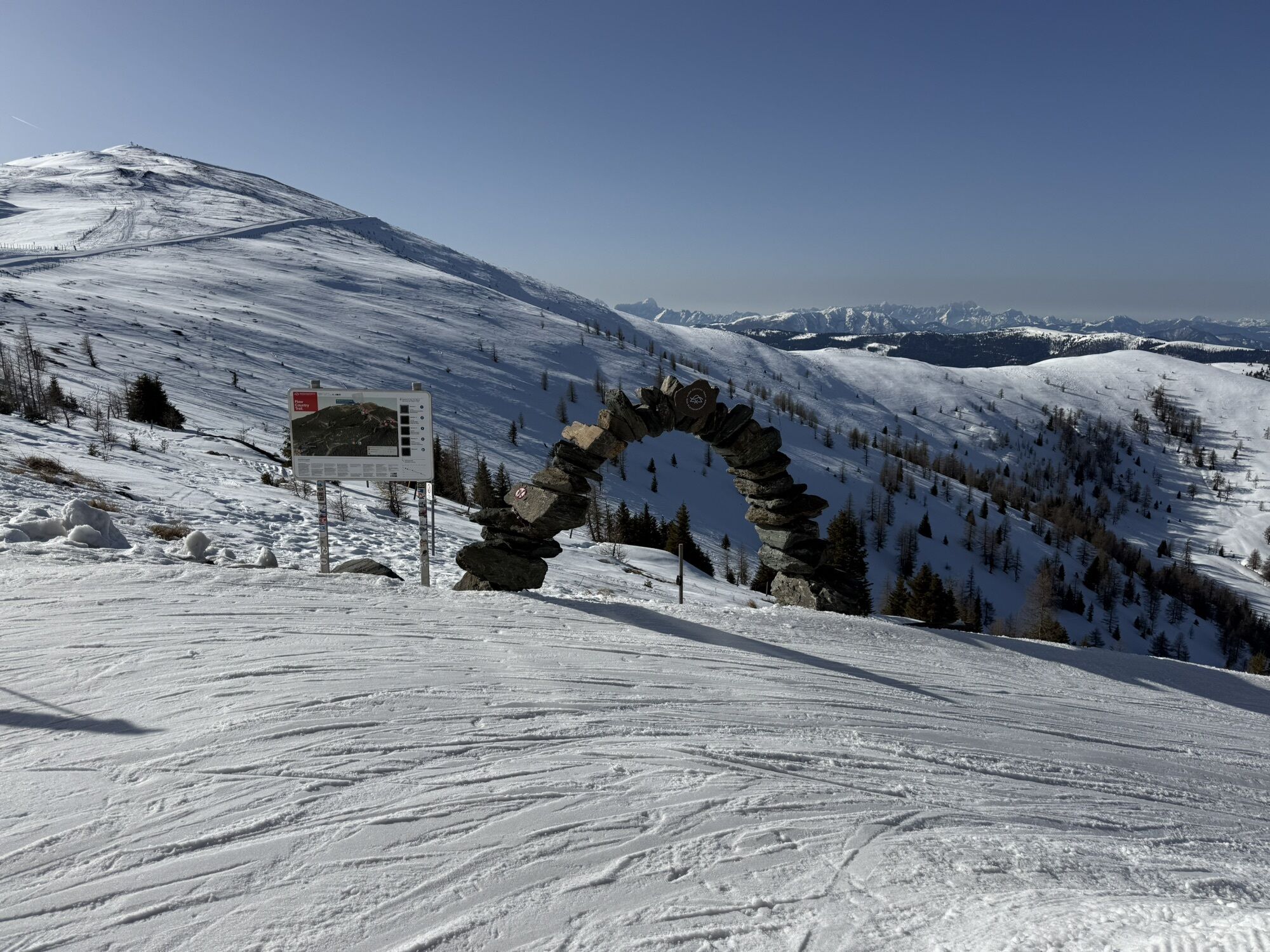
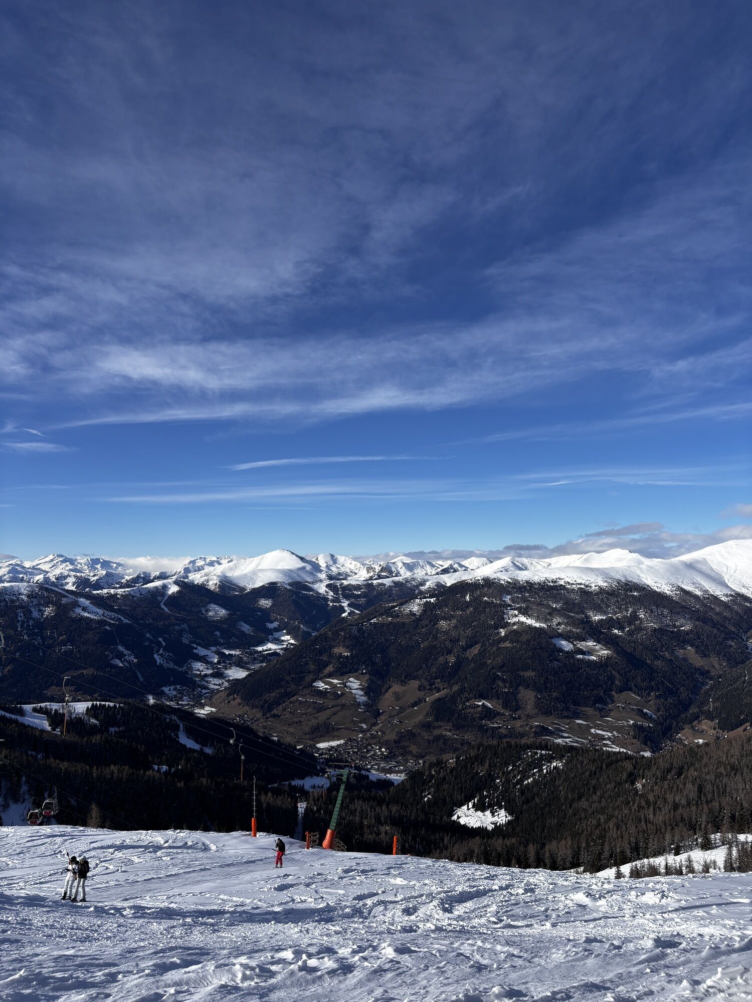
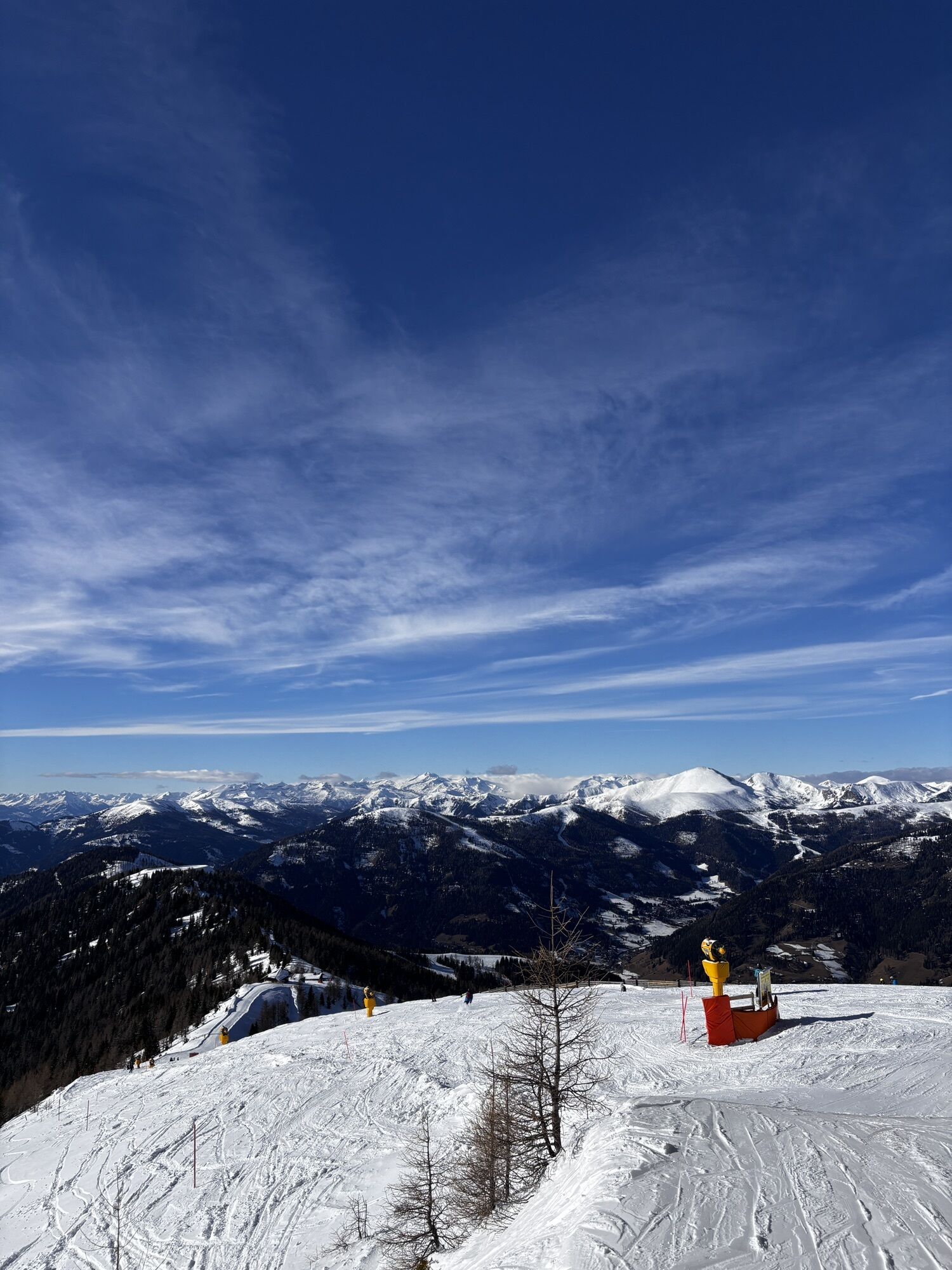
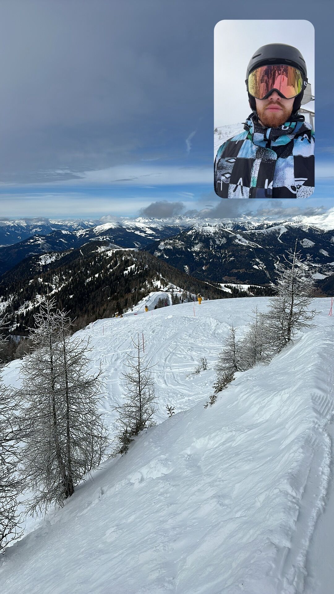
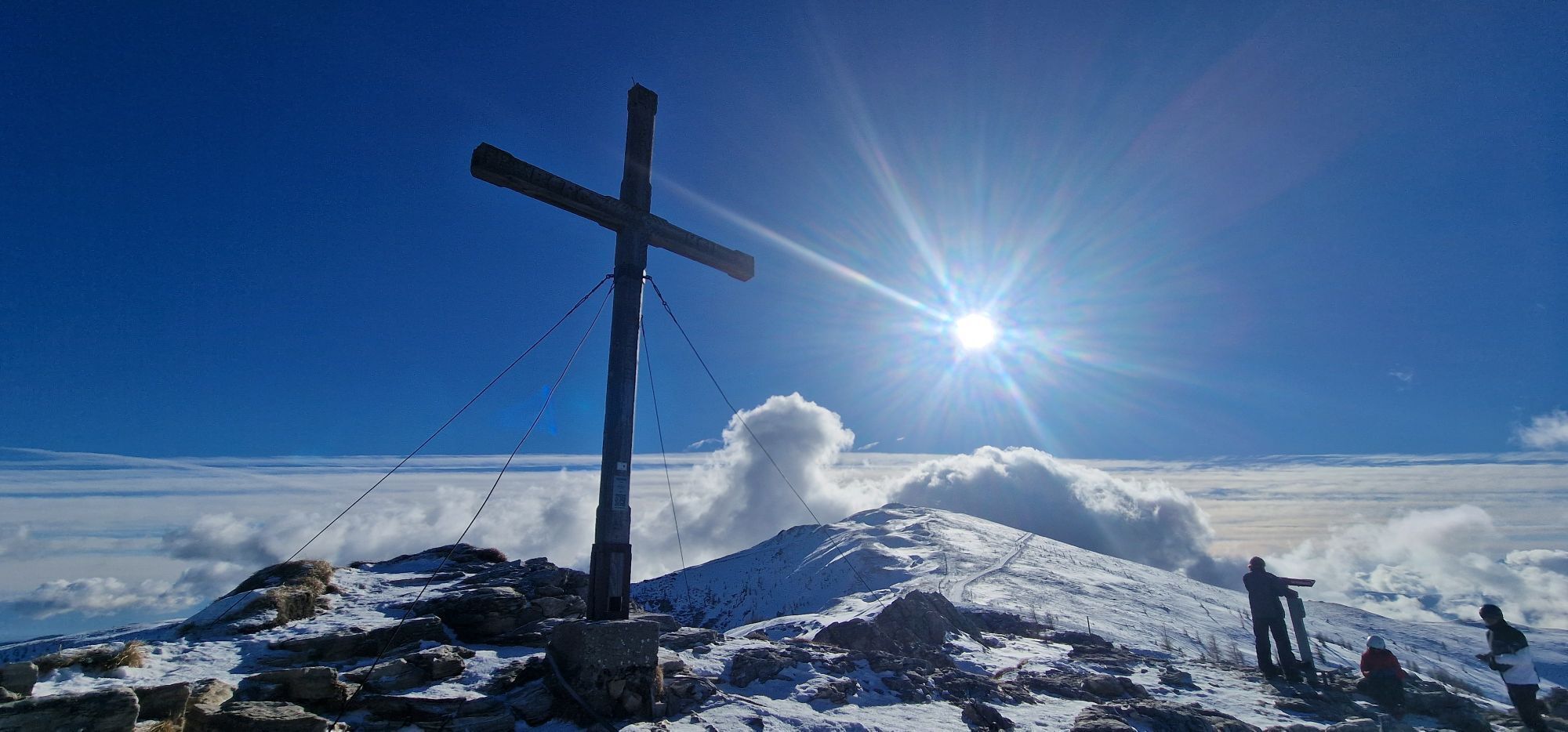
A high-alpine panorama hike: From the mountain station of the Kaiserburgbahn at 2,039 meters above sea level, the path describes a wide arc to the south and east, mainly following mountain ridges. After...
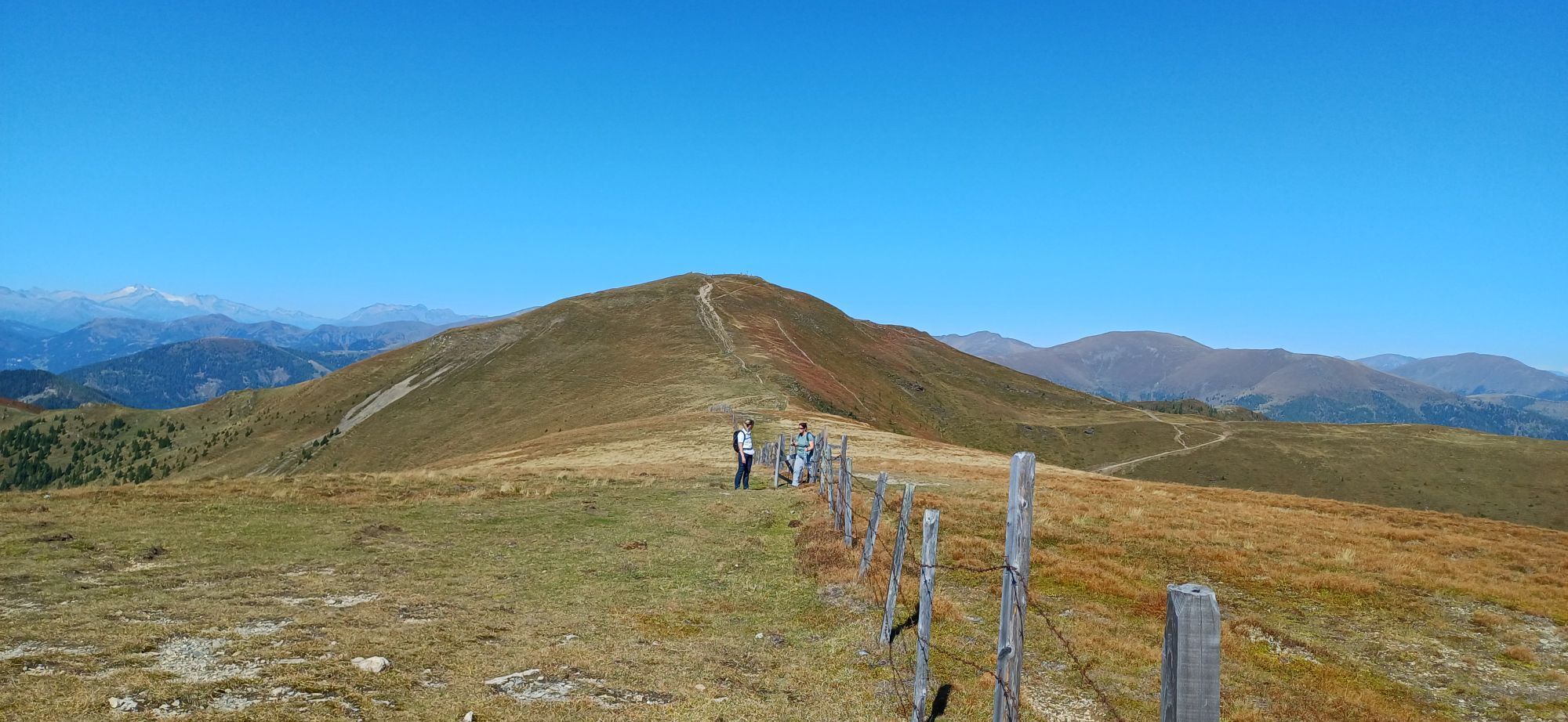
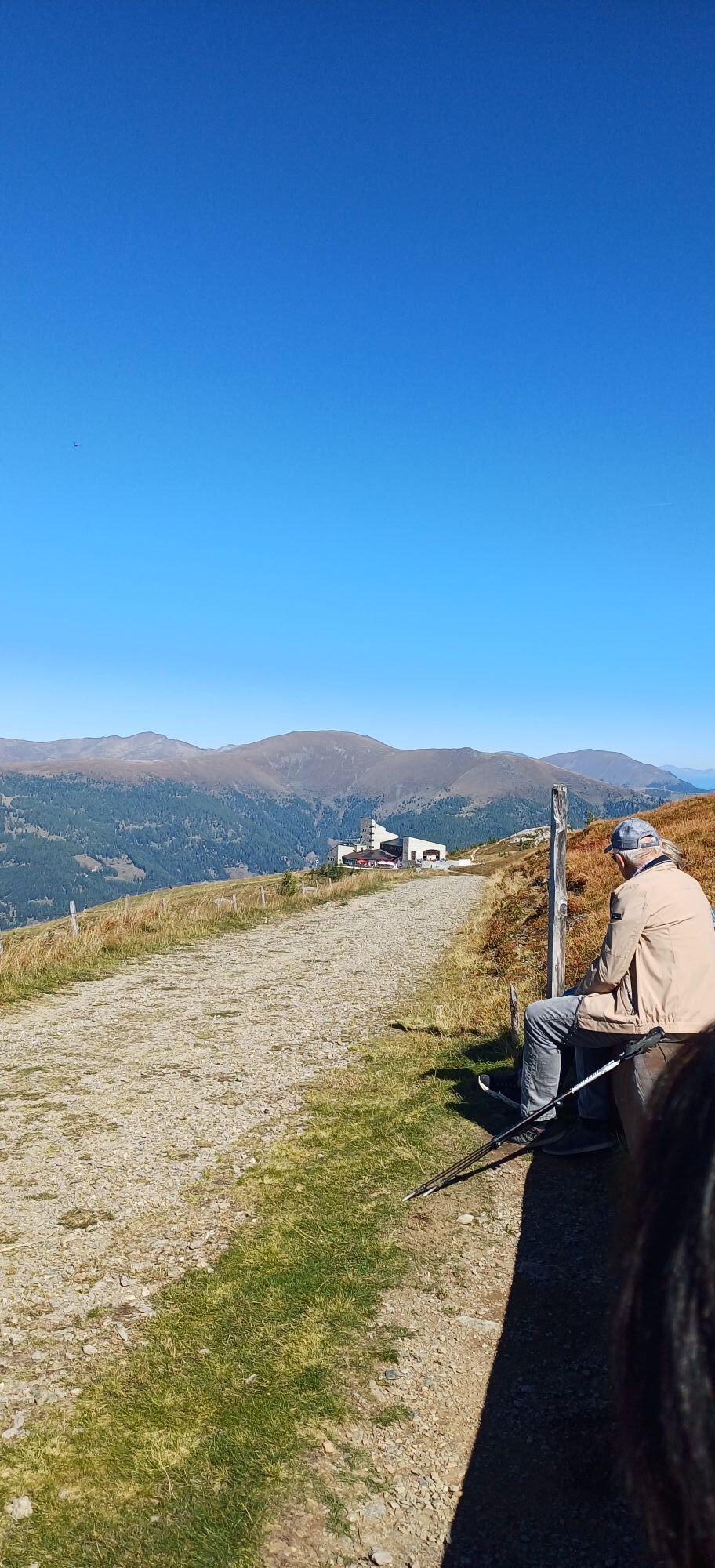
A high-alpine panorama hike: From the mountain station of the Kaiserburgbahn at 2,039 meters above sea level, the path describes a wide arc to the south and east, mainly following mountain ridges. After the Vorderer Wöllaner Nock (2,090 m), the descent into the alpine pasture area around the Geigerhütte provides scenic variety, before returning to the start point via Lichteben and Pfaffeneck (2,046 m).
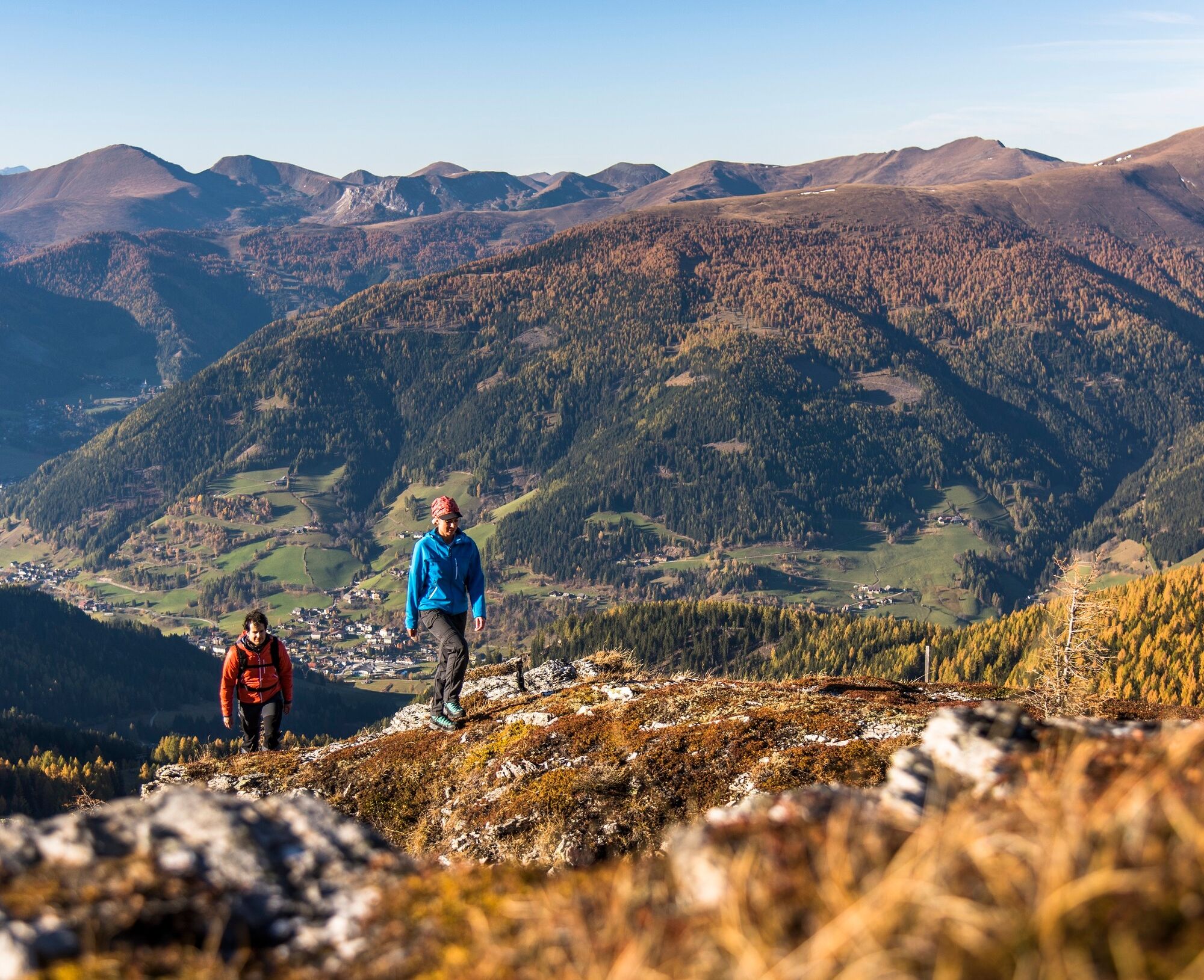

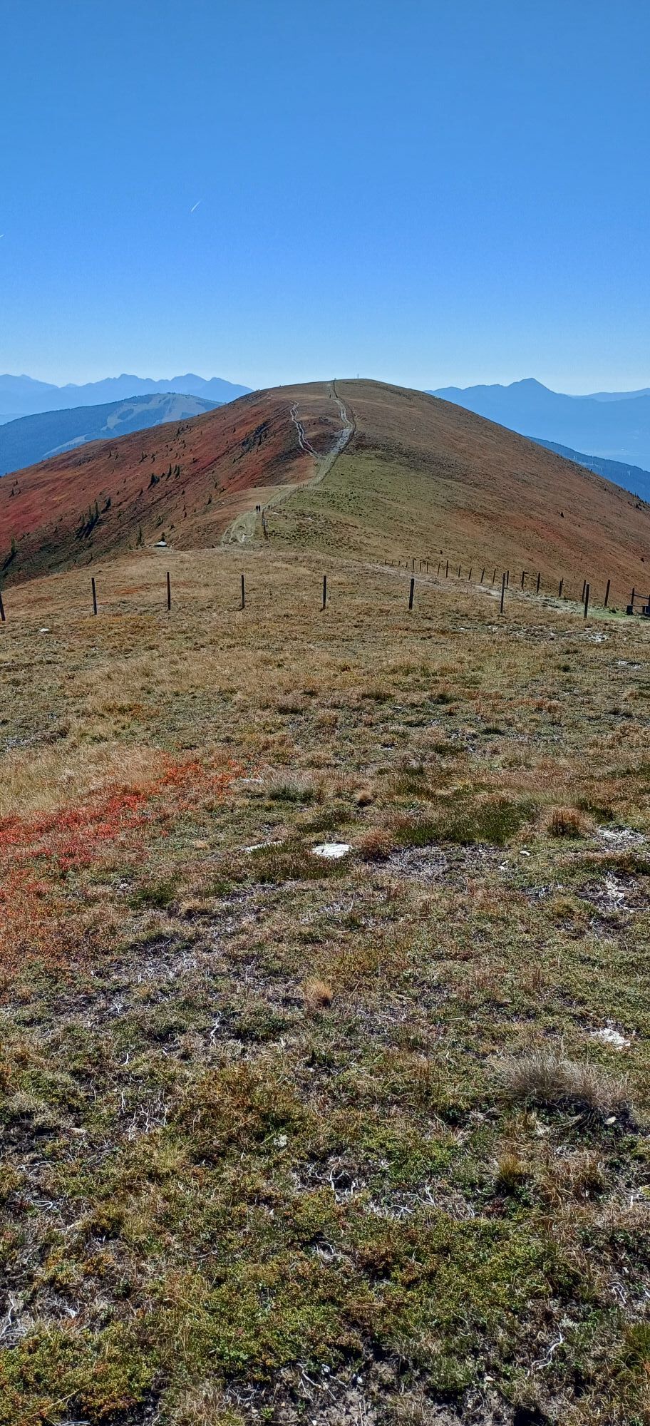
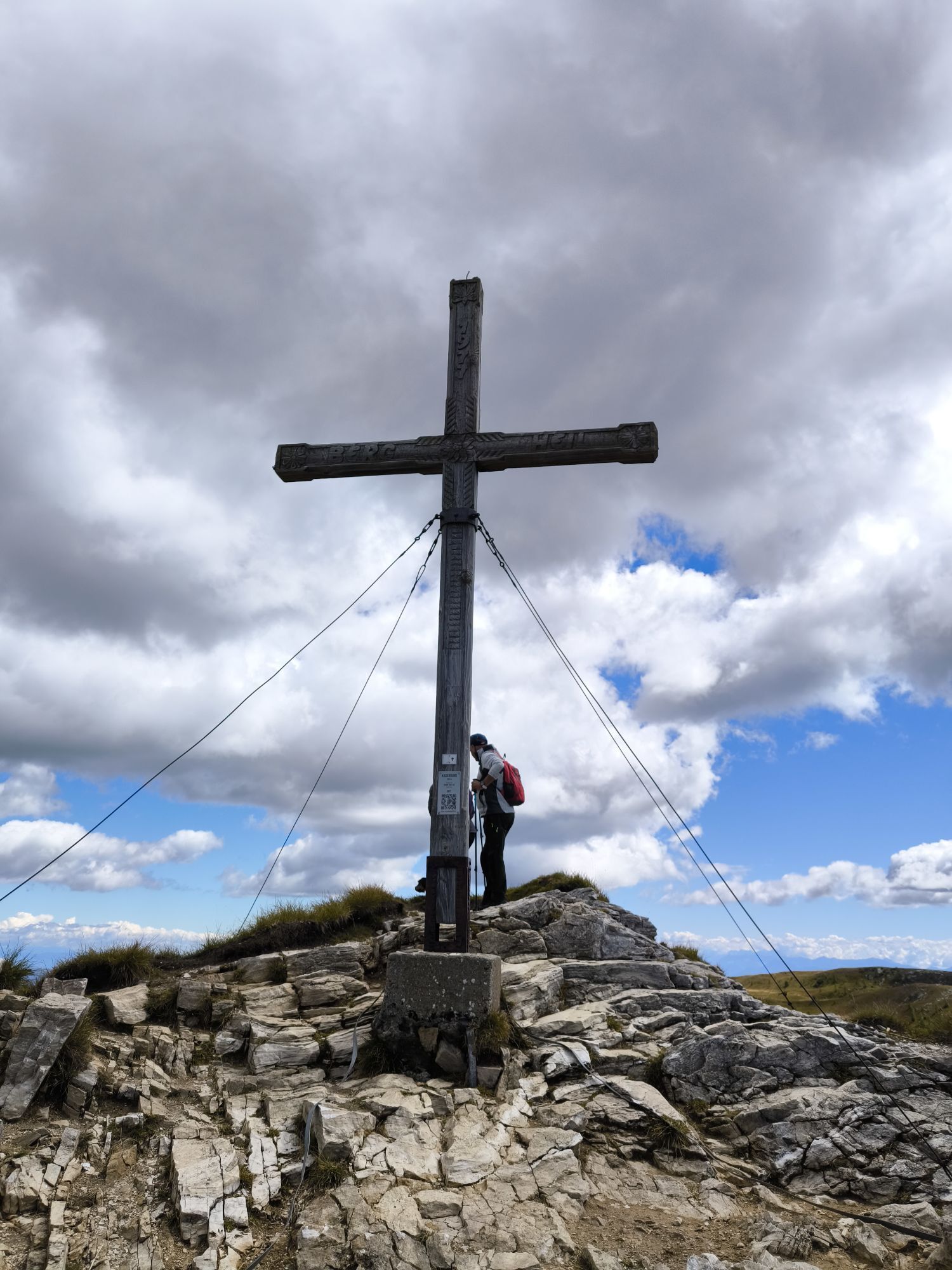
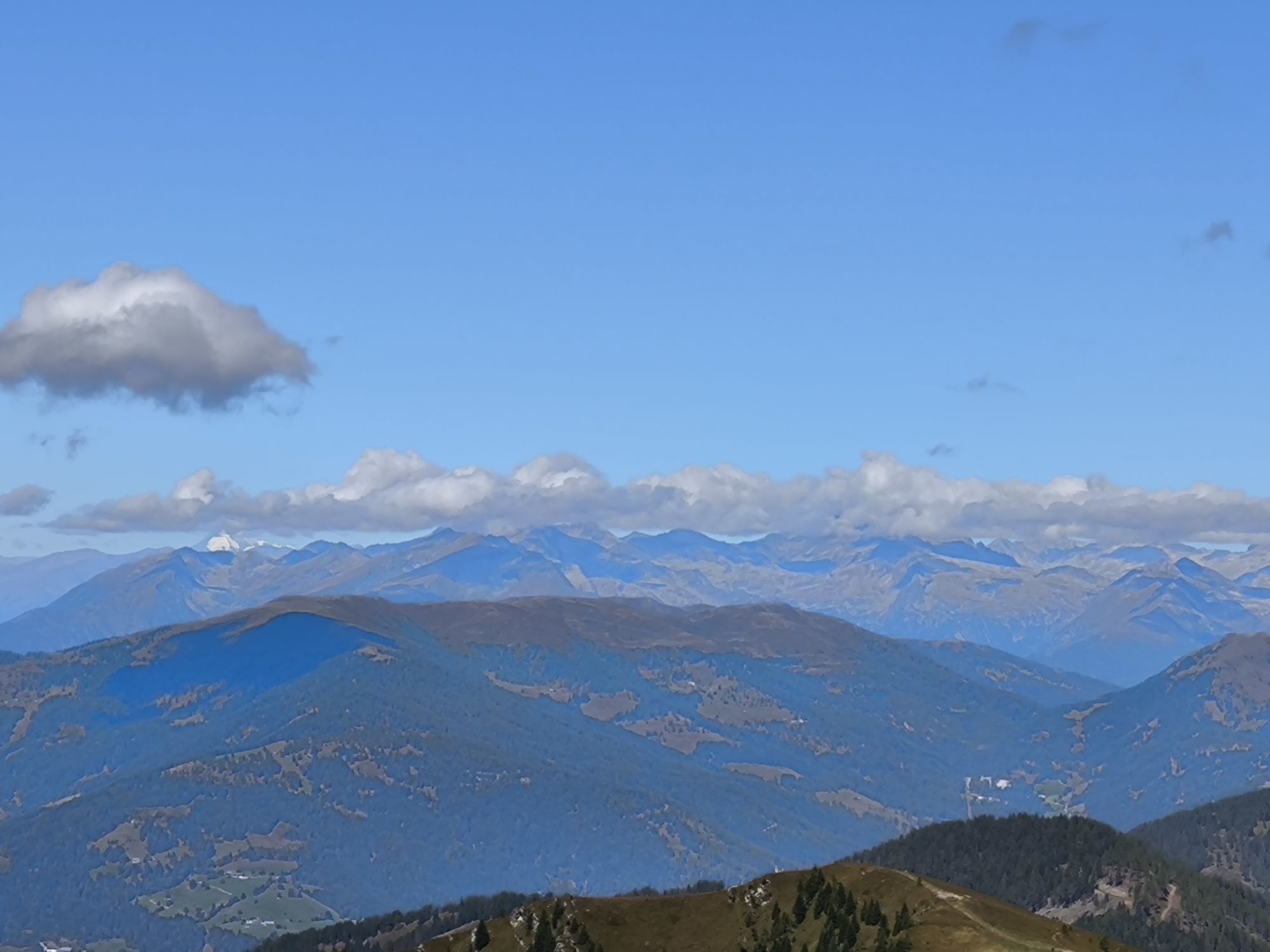
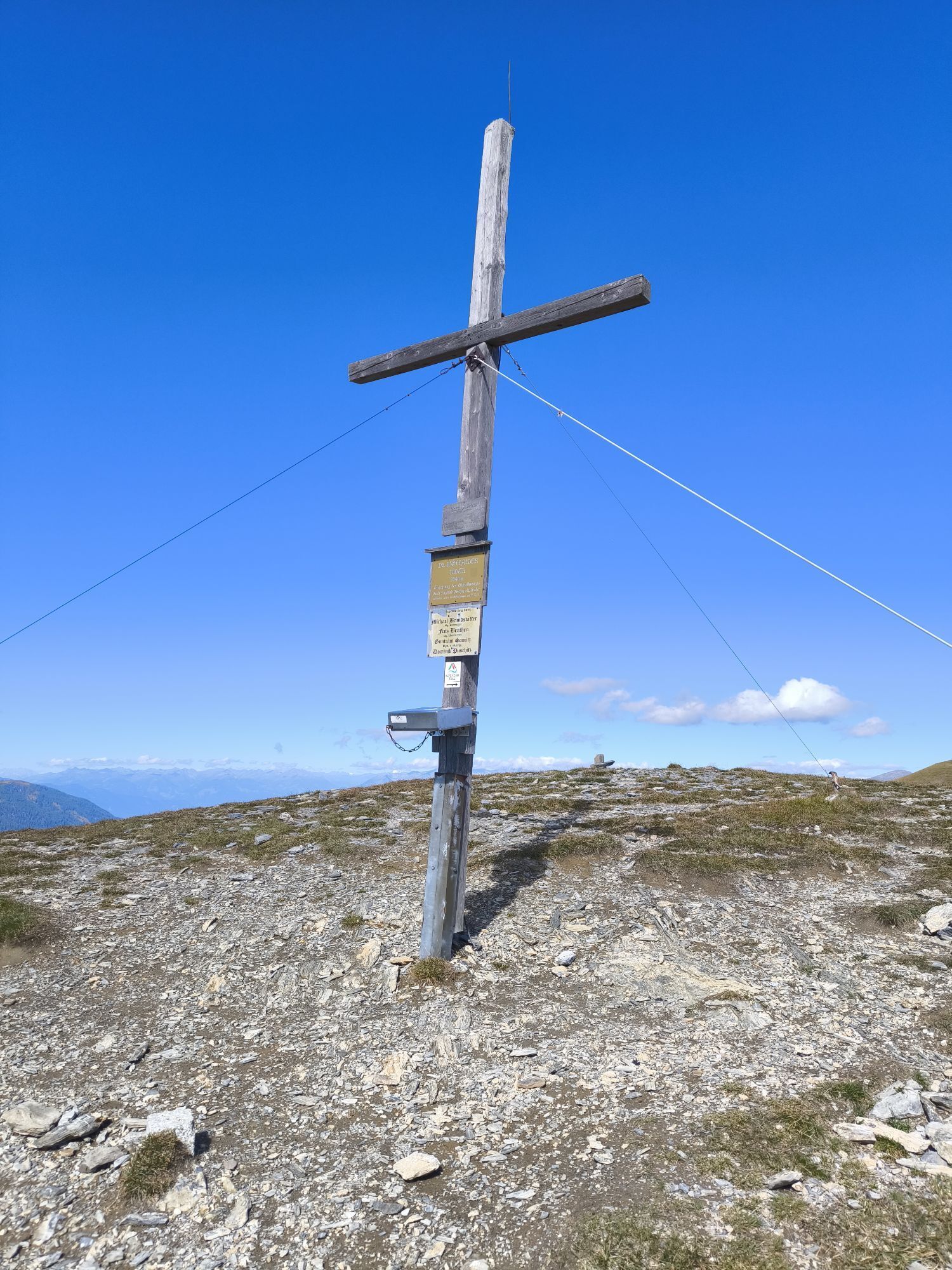
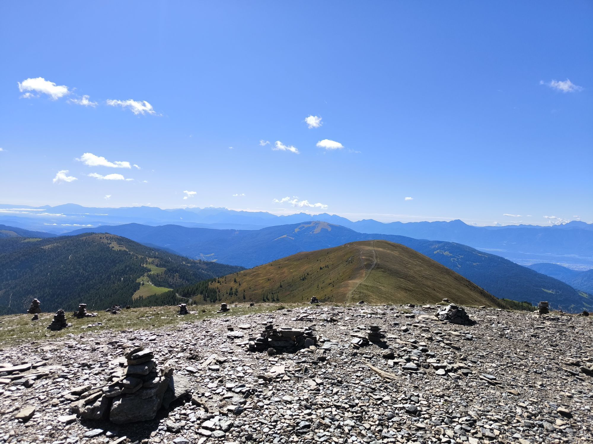
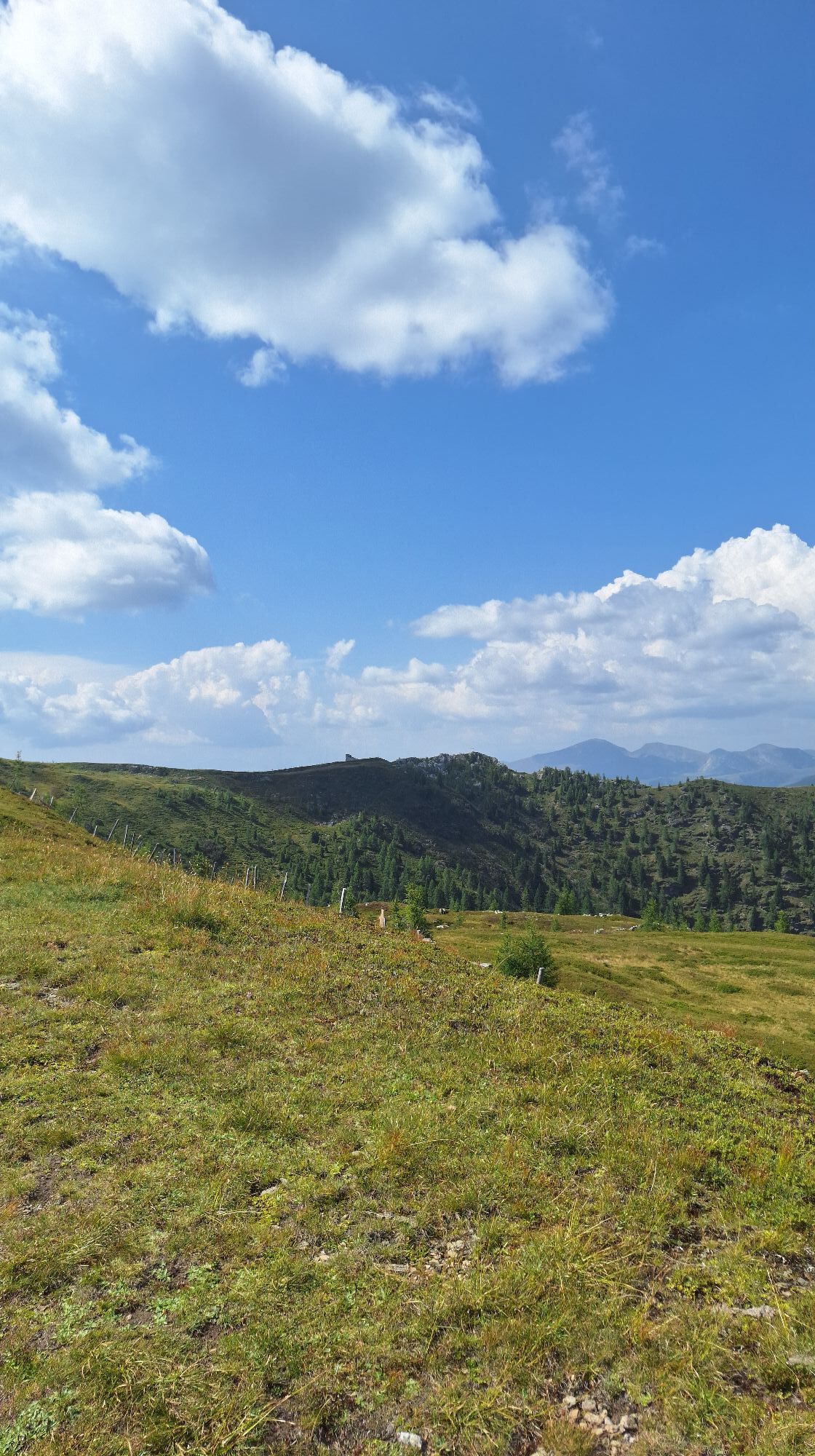
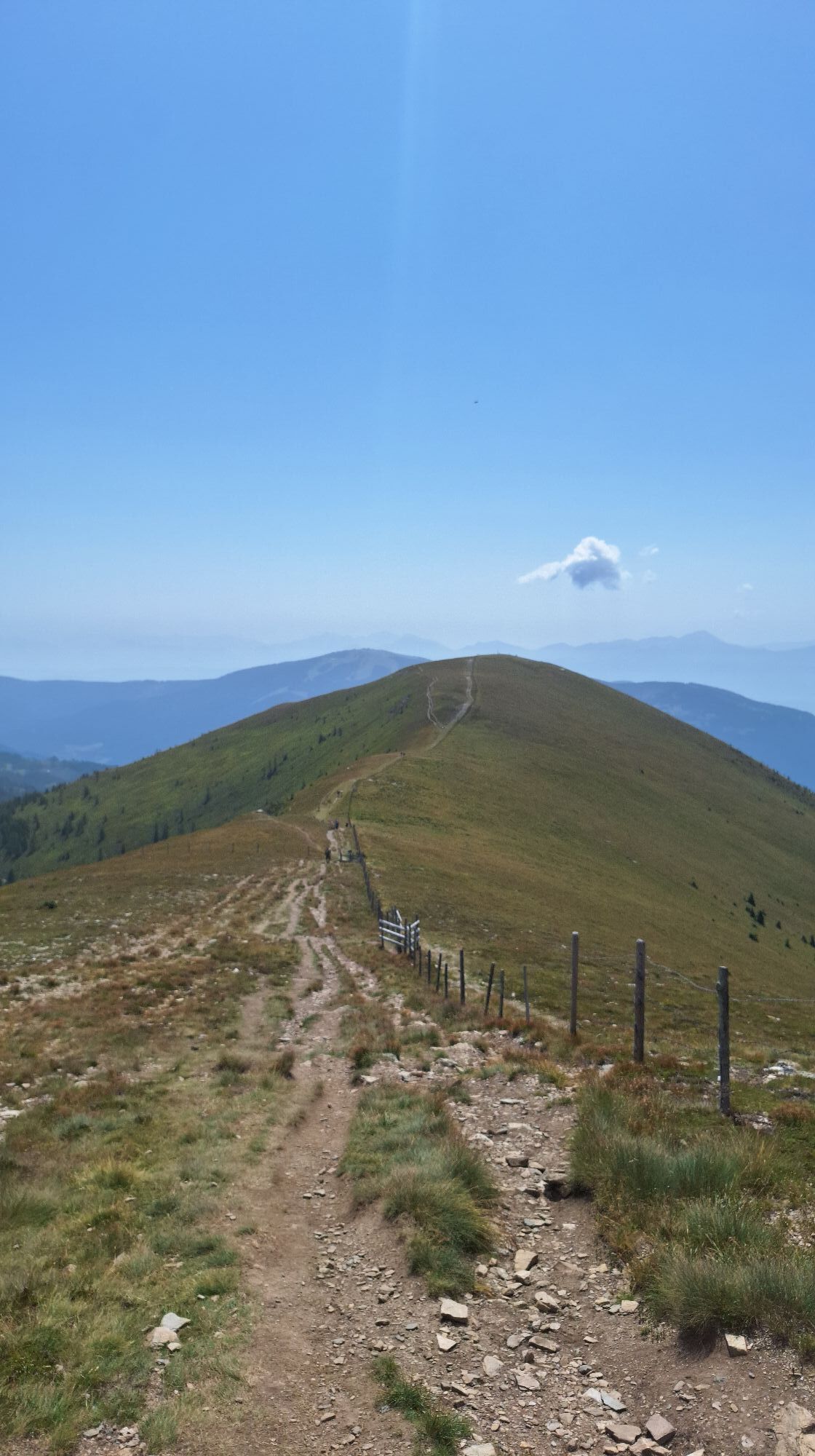
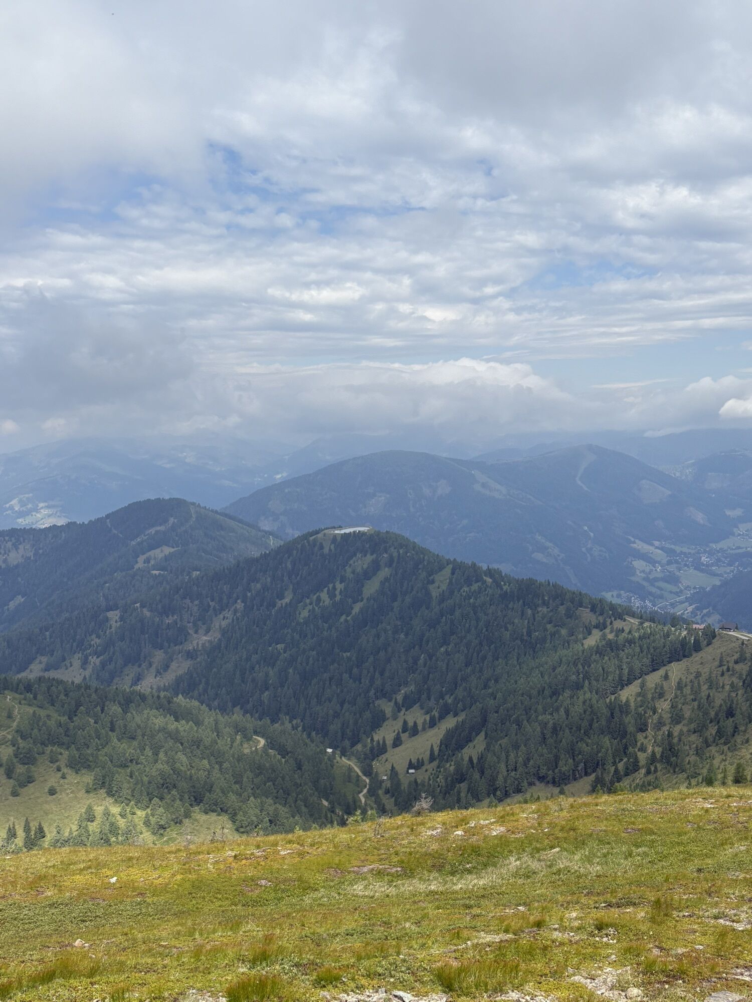
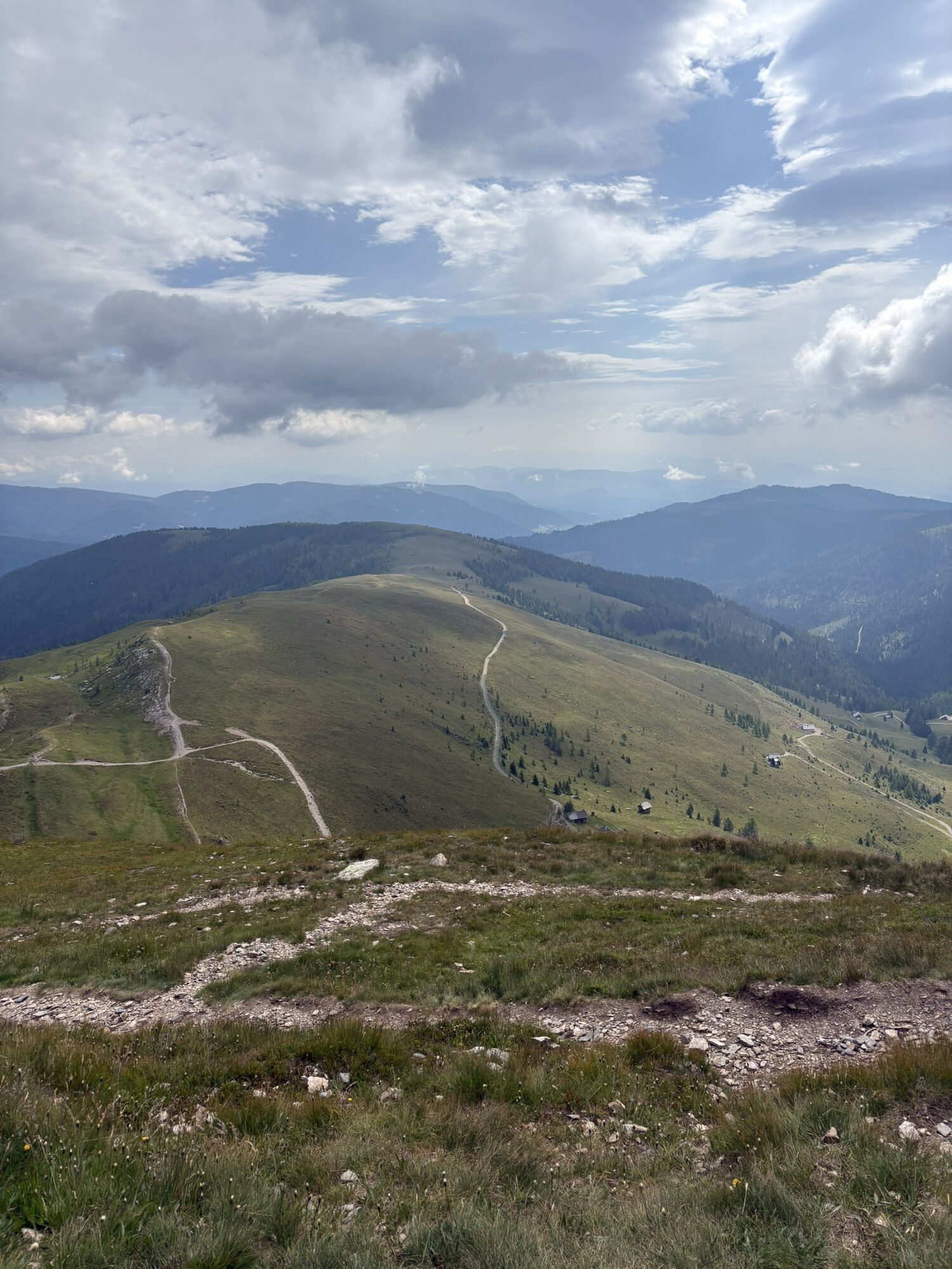
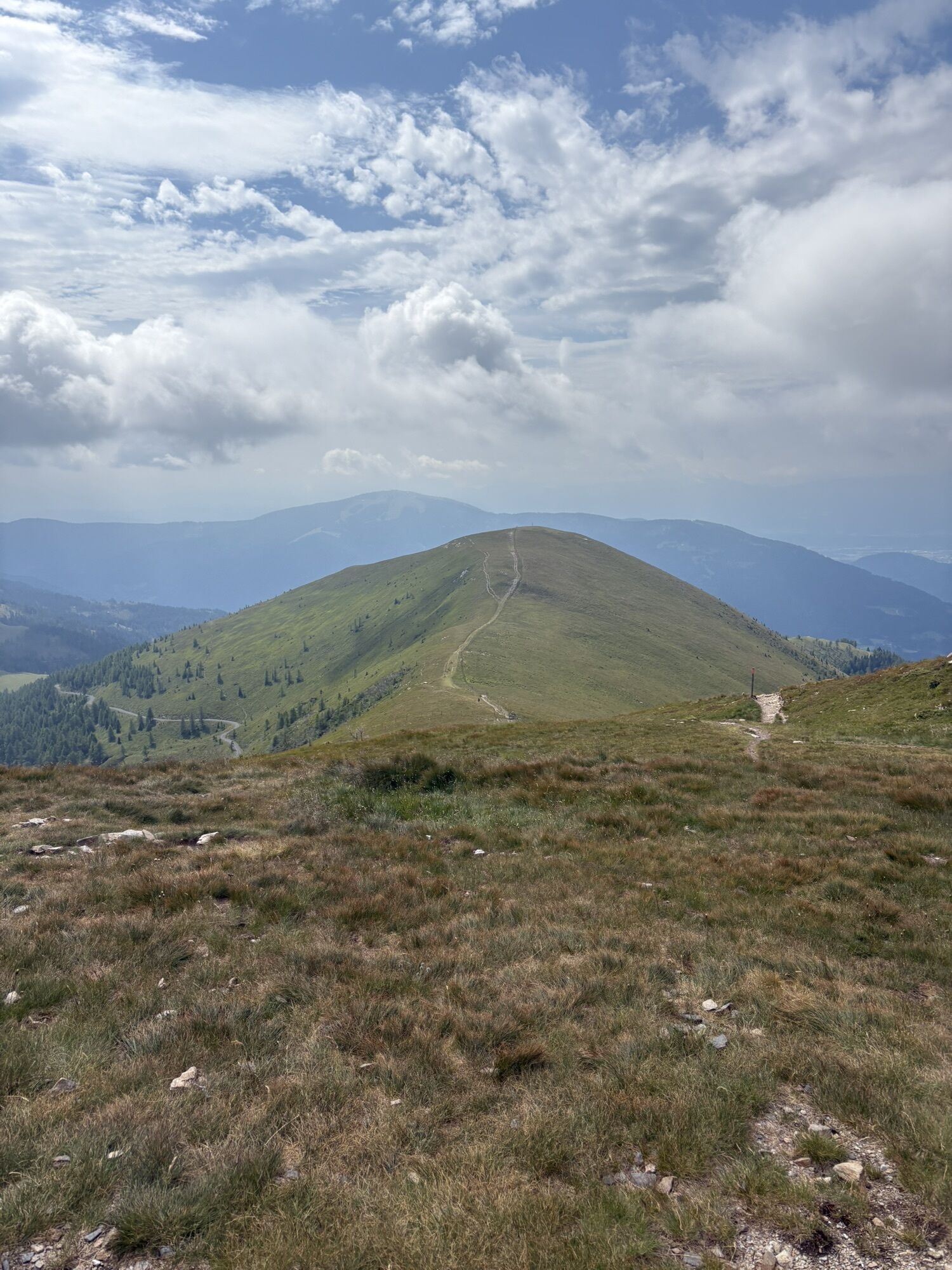
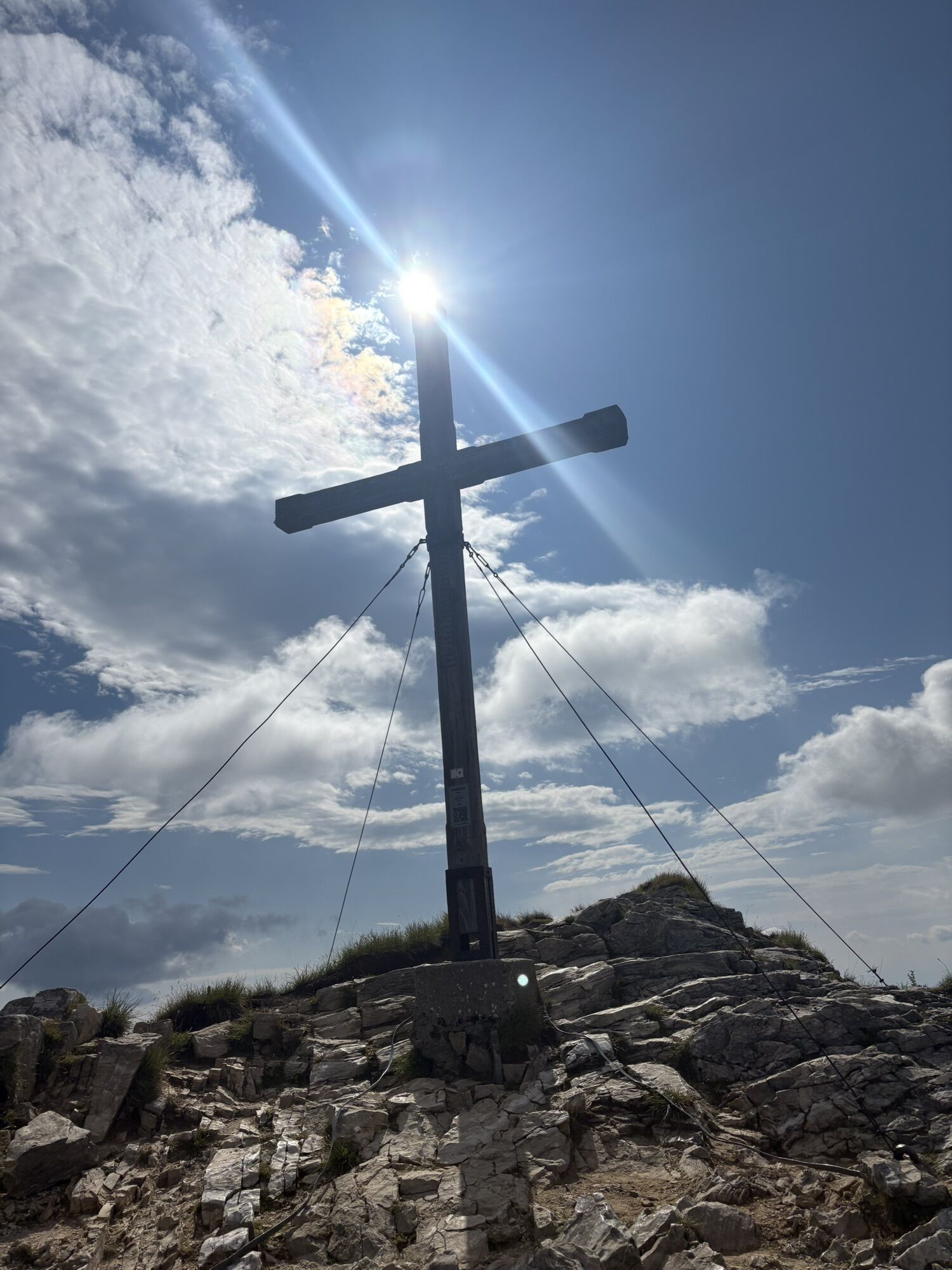
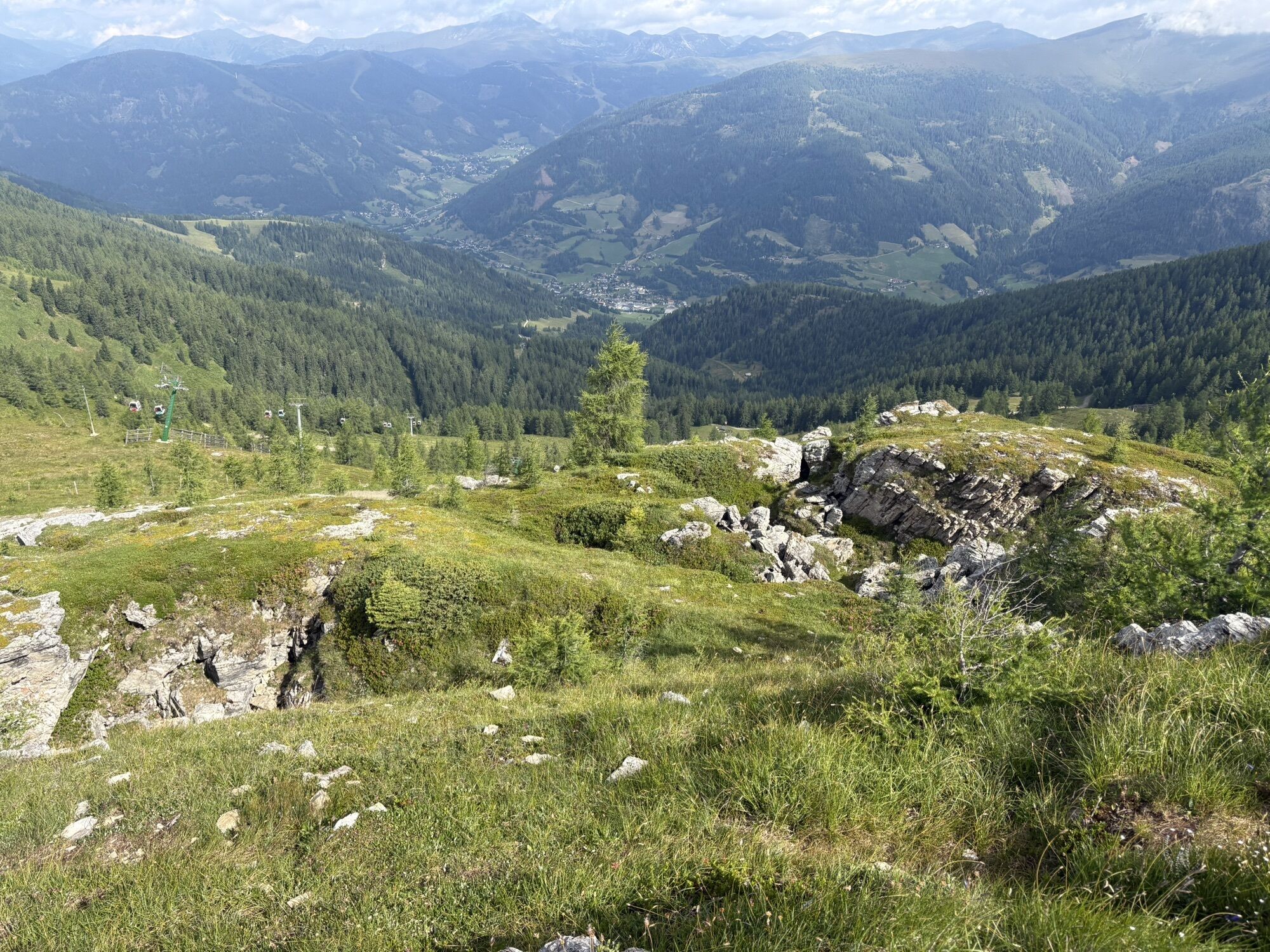
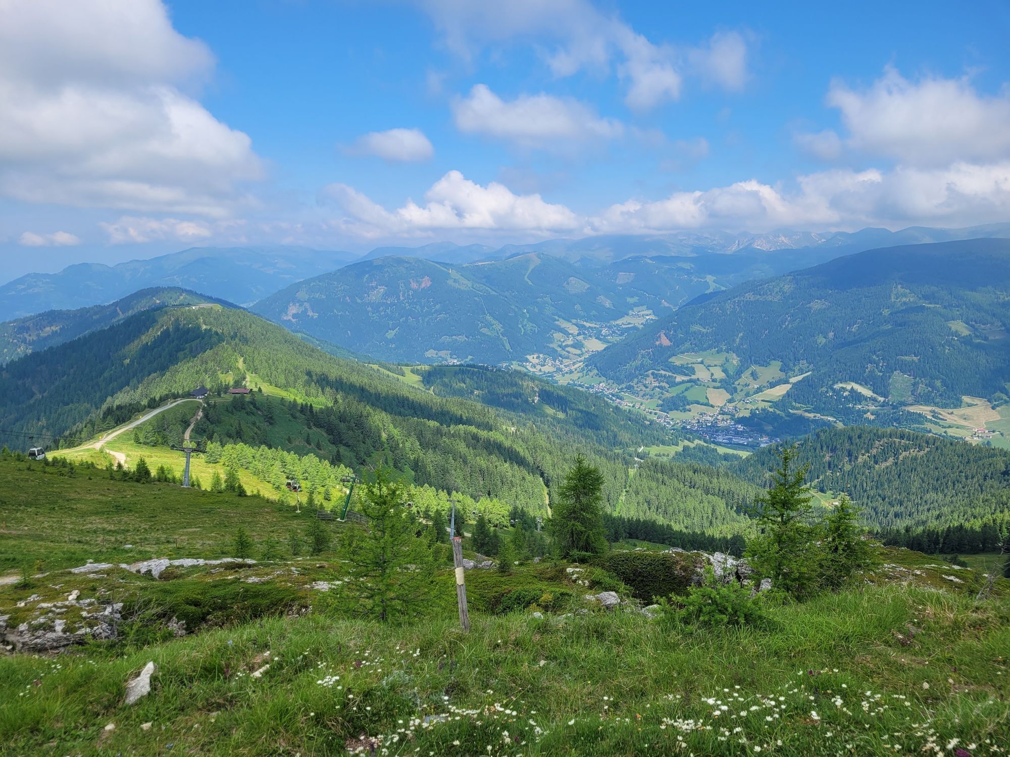
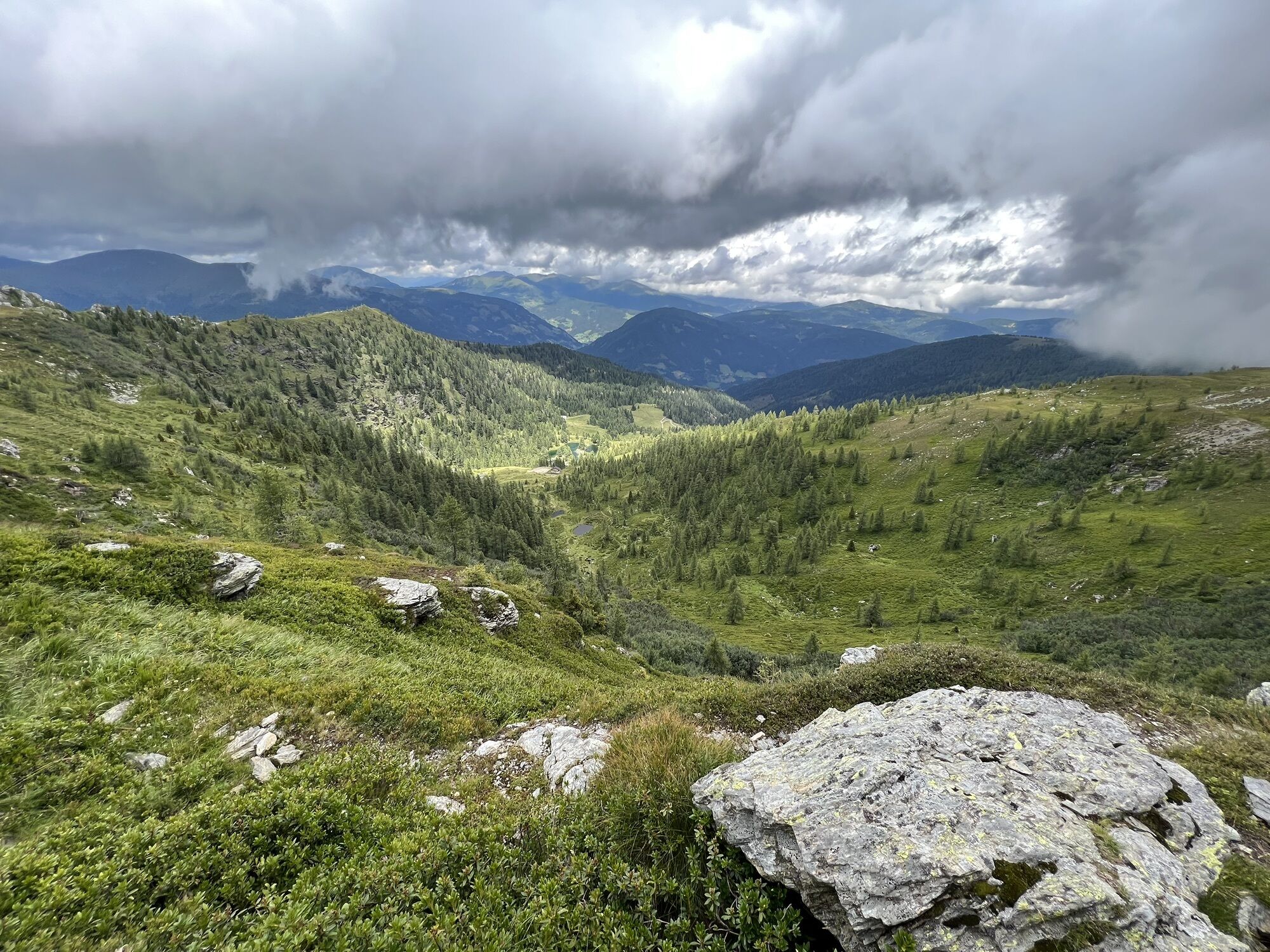
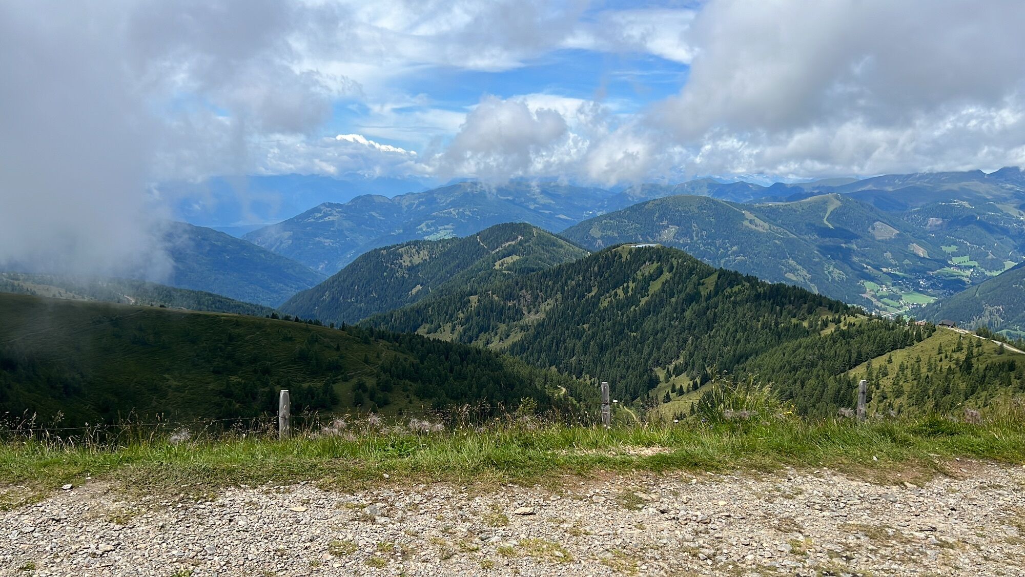
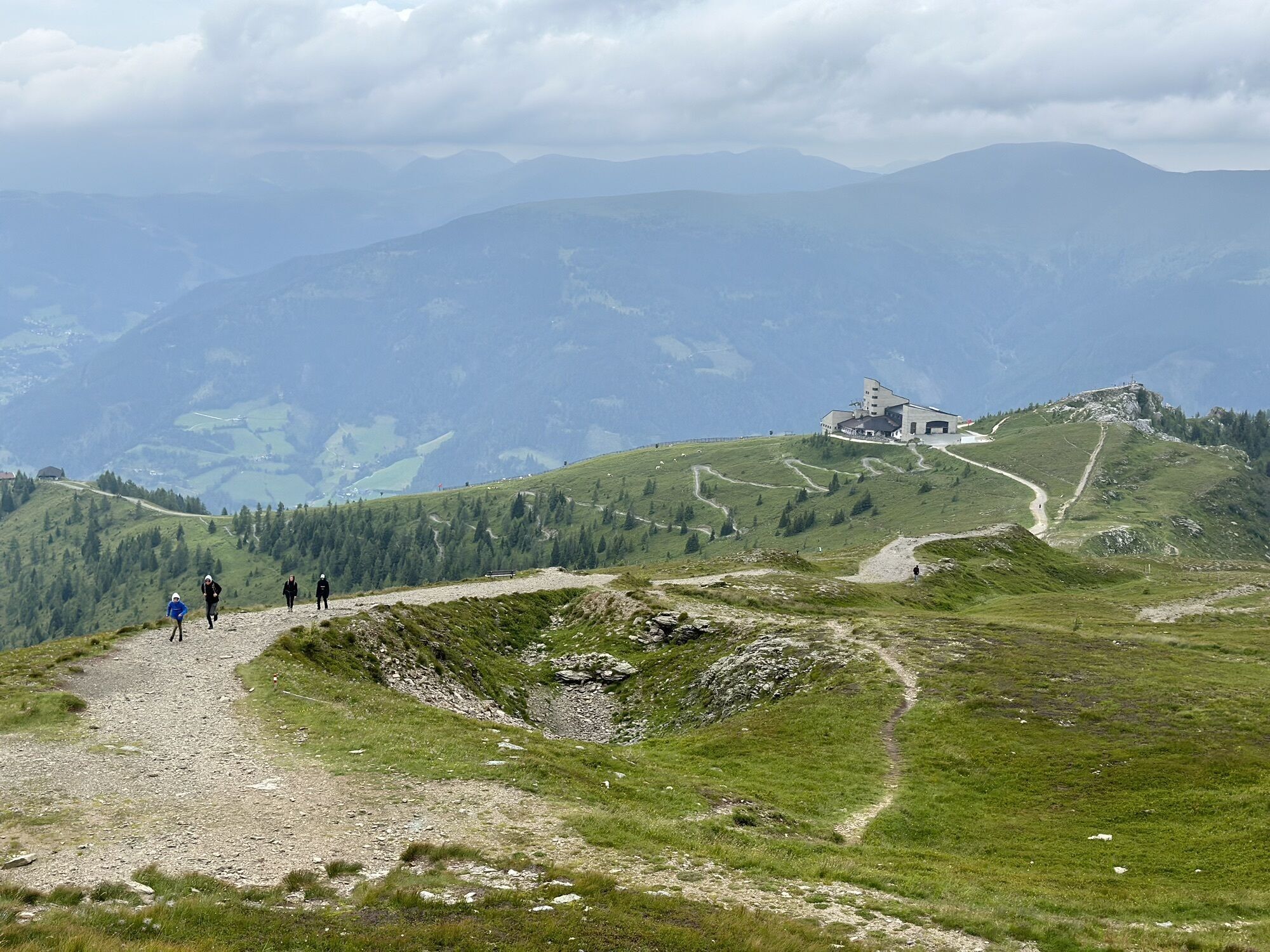
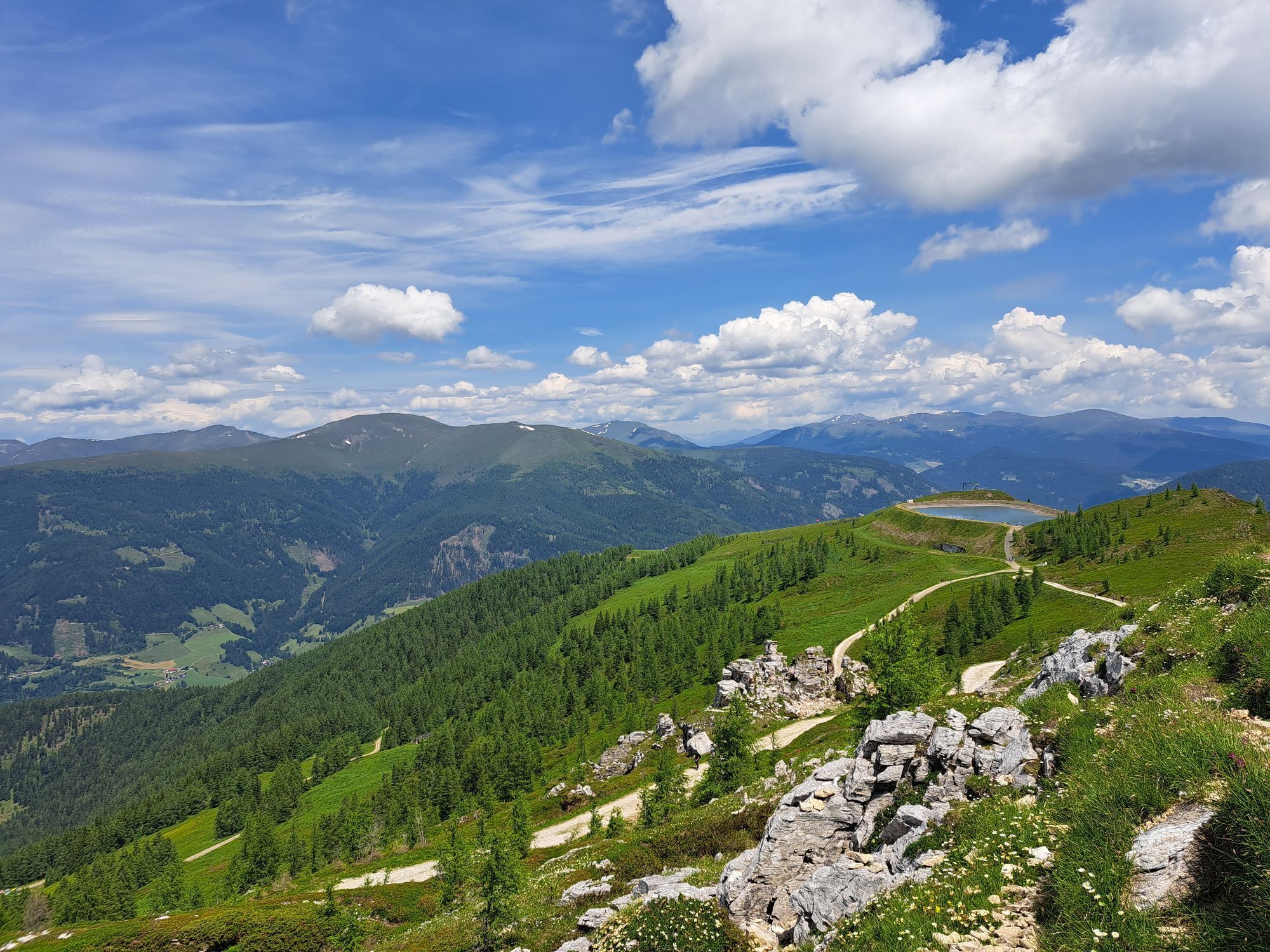
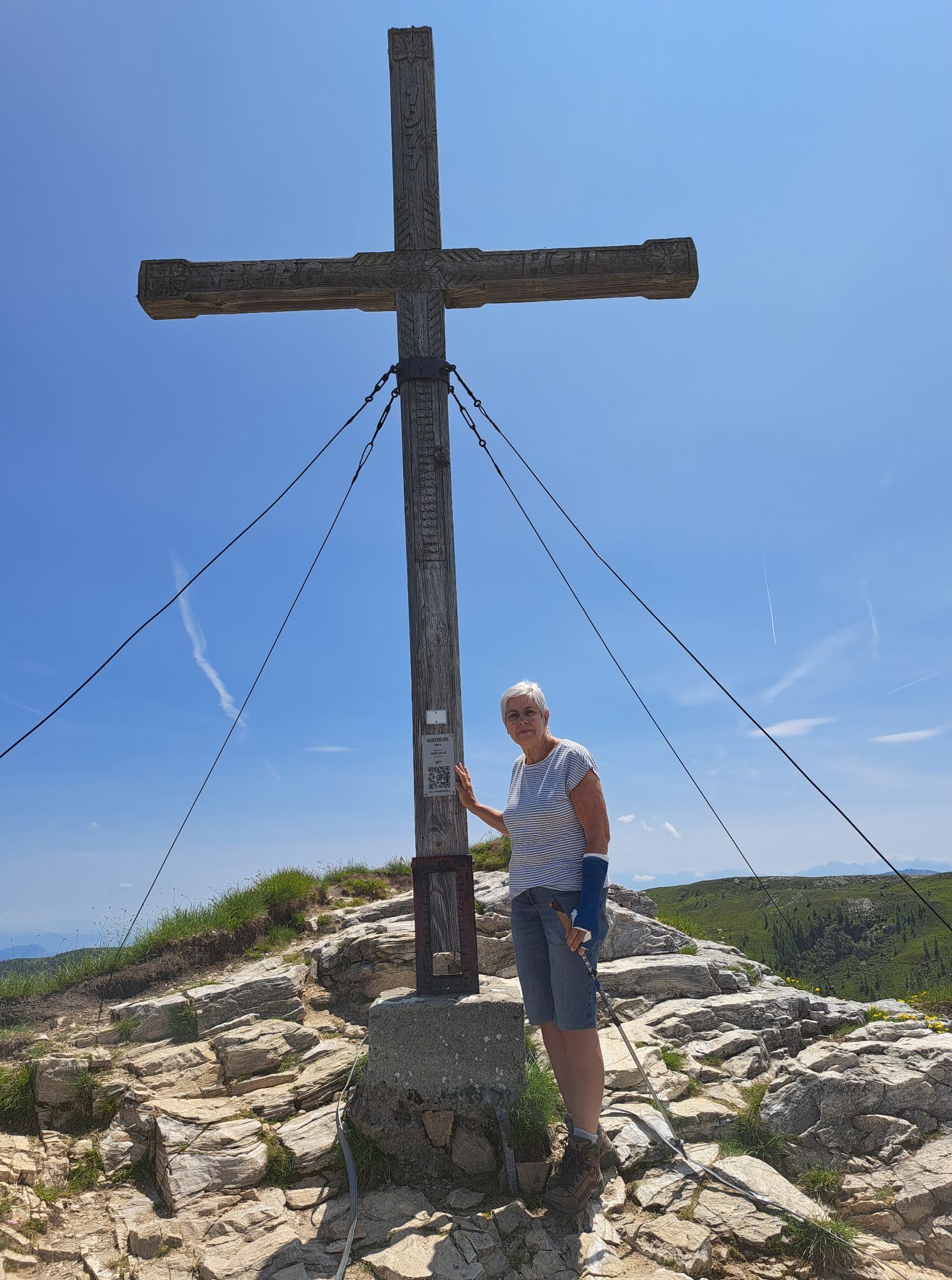
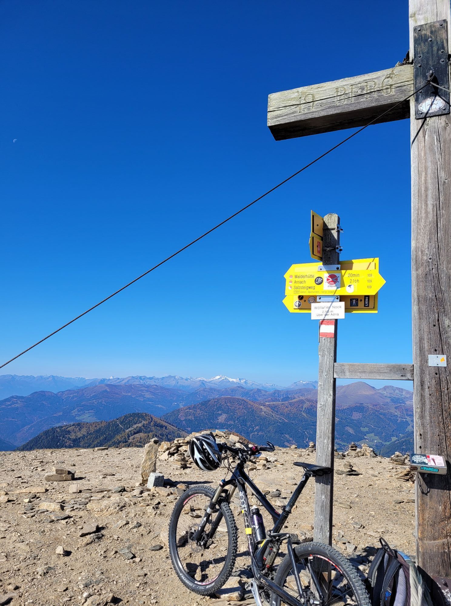
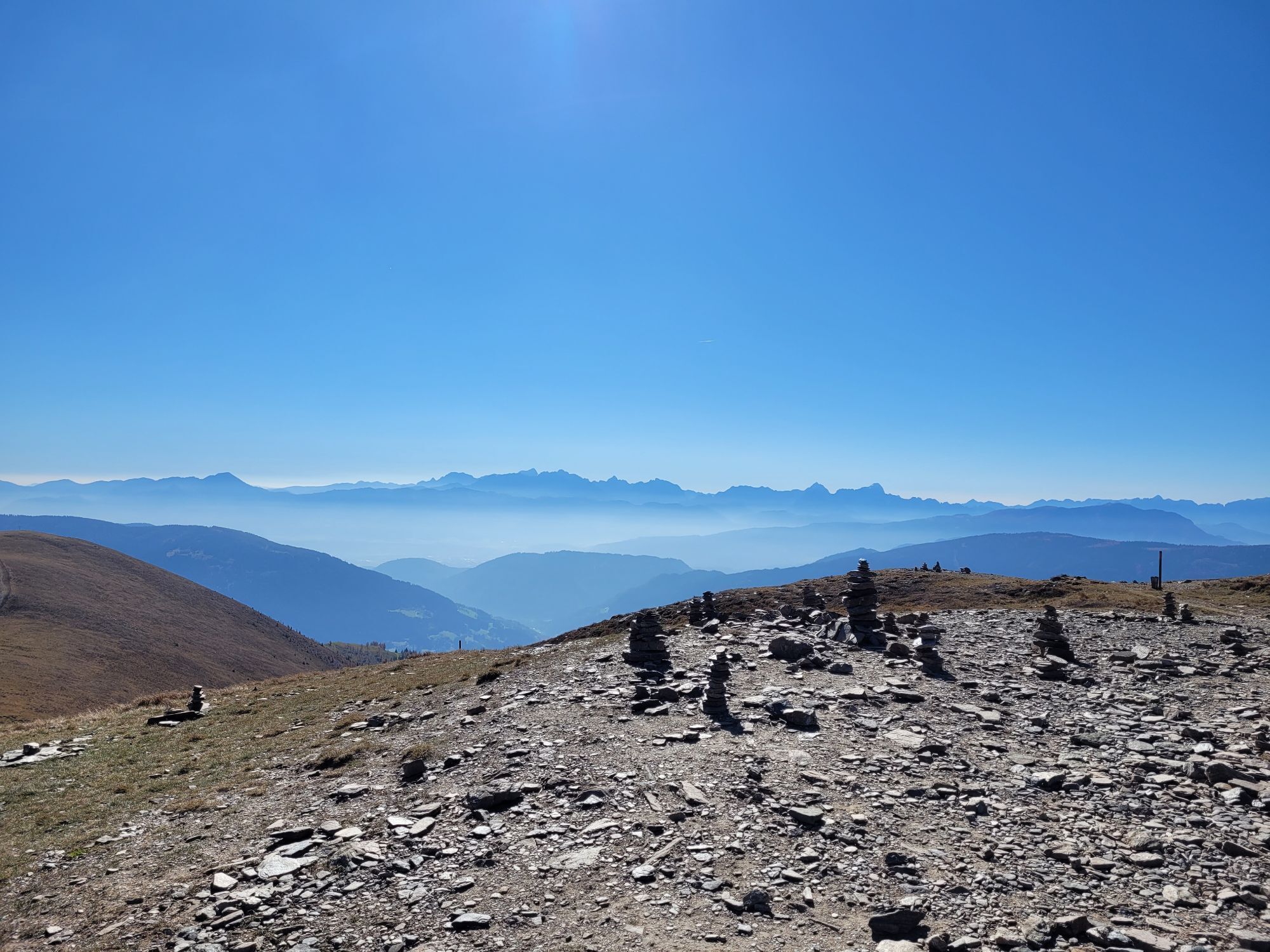
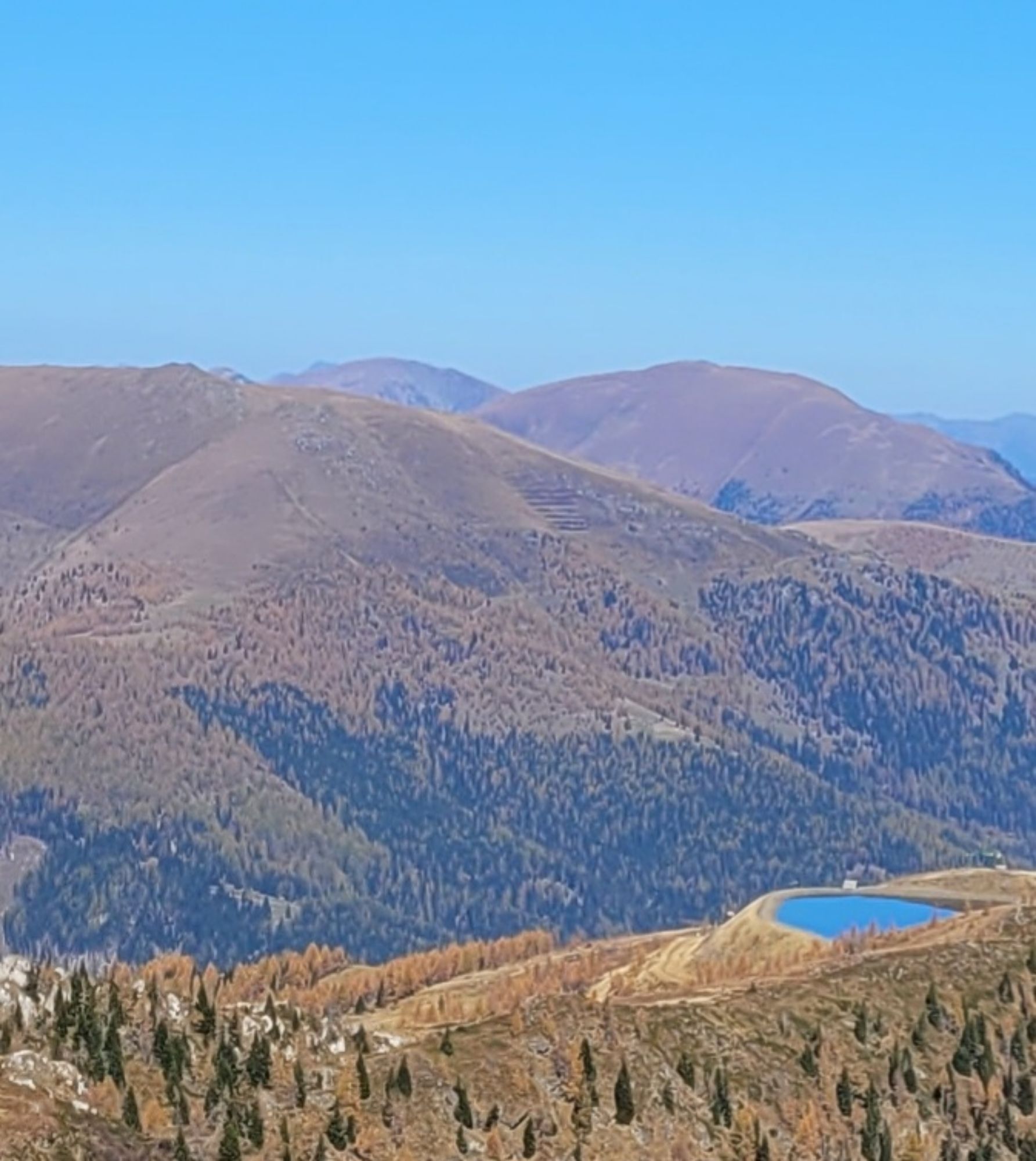
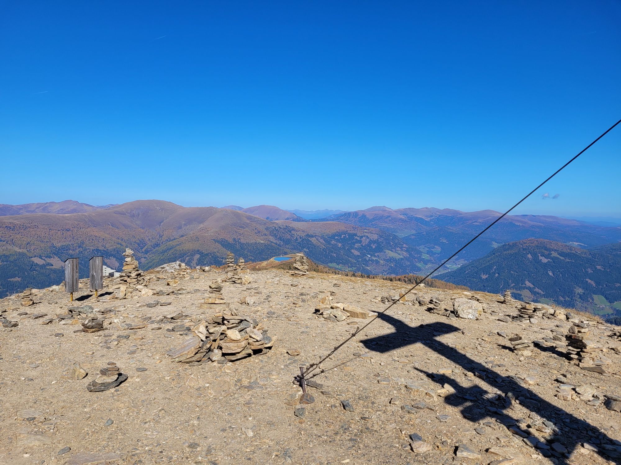
We reach the starting point of the Wöllaner Nock Alpine route at 2,039 meters above sea level comfortably using the Kaiserburgbahn. After a short ascent through bizarre limestone rocks and past legendary caves, we reach the summit of the Kaiserburg (2,055 m). From here, we see our next destination to the south, the 2,145-meter-high Wöllaner Nock. The path there leads over gently shaped knolls characterized by alpine mountain meadows. We proceed slightly downhill to the Vorderer Wöllaner Nock (2,090 m), while our gaze wanders over the Julian Alps with Jalovec (2,645 m) and Mangart (2,677 m) as well as the Dobratsch (2,166 m).
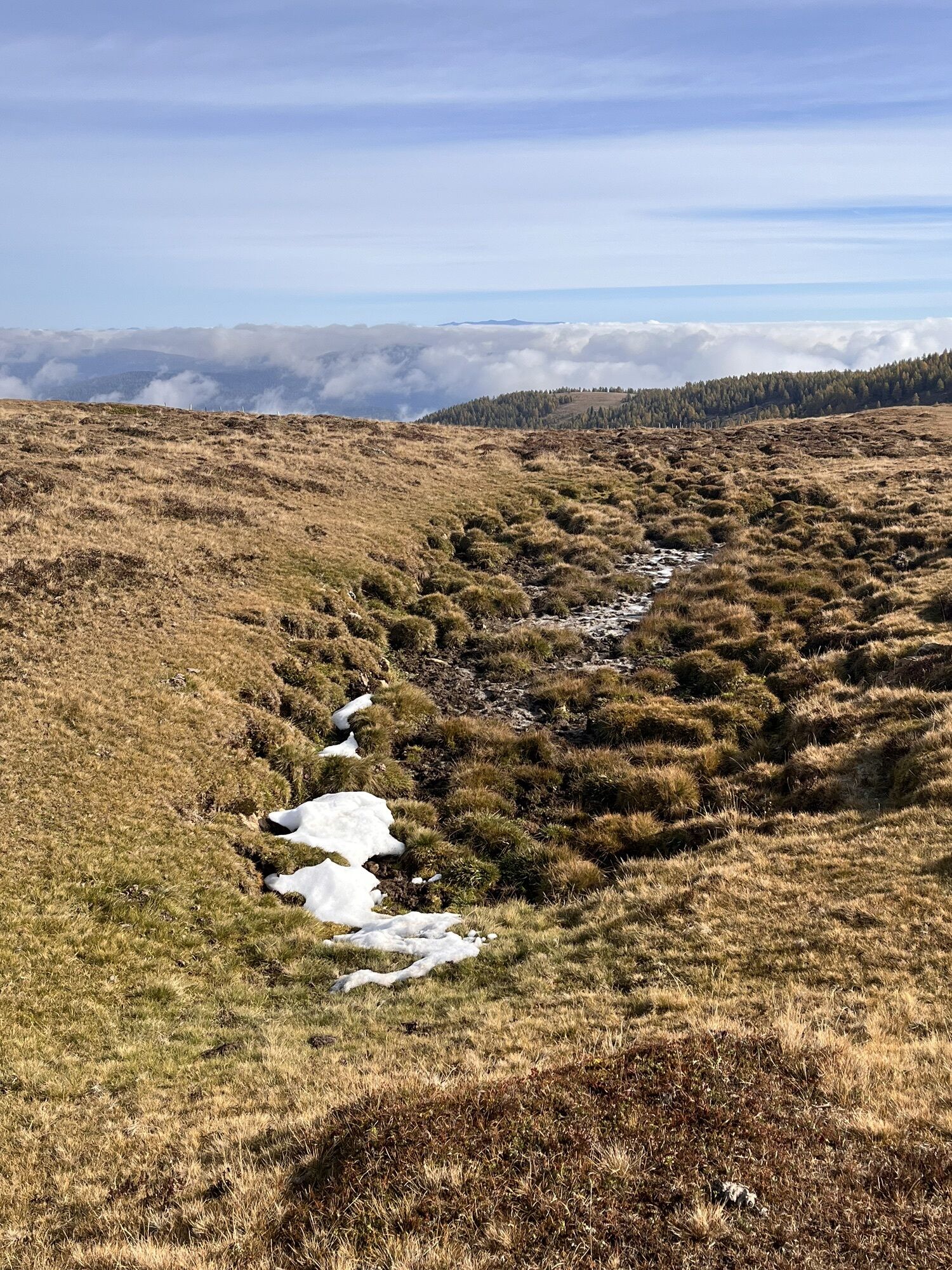
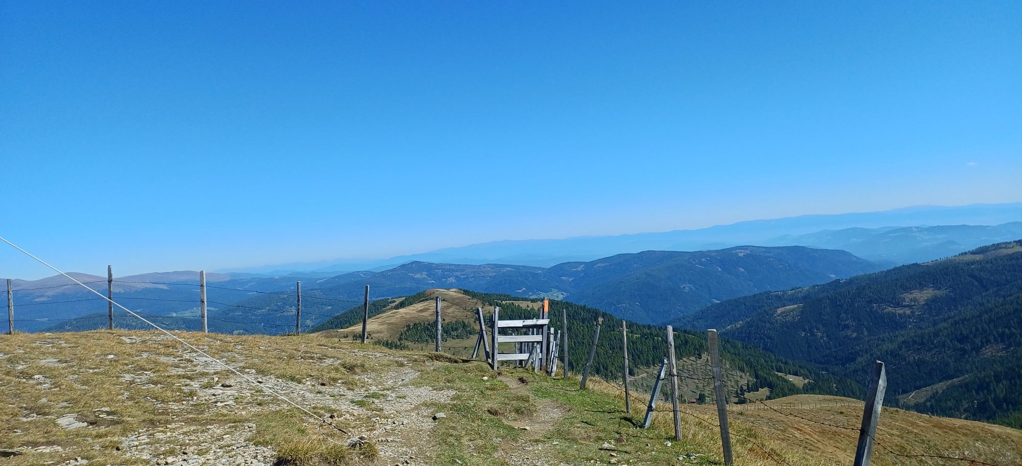
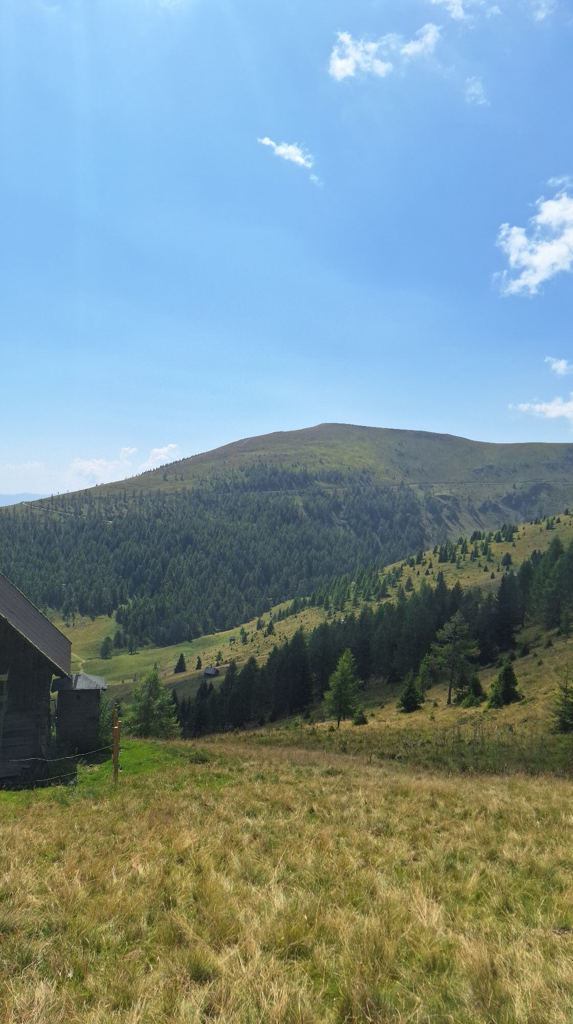
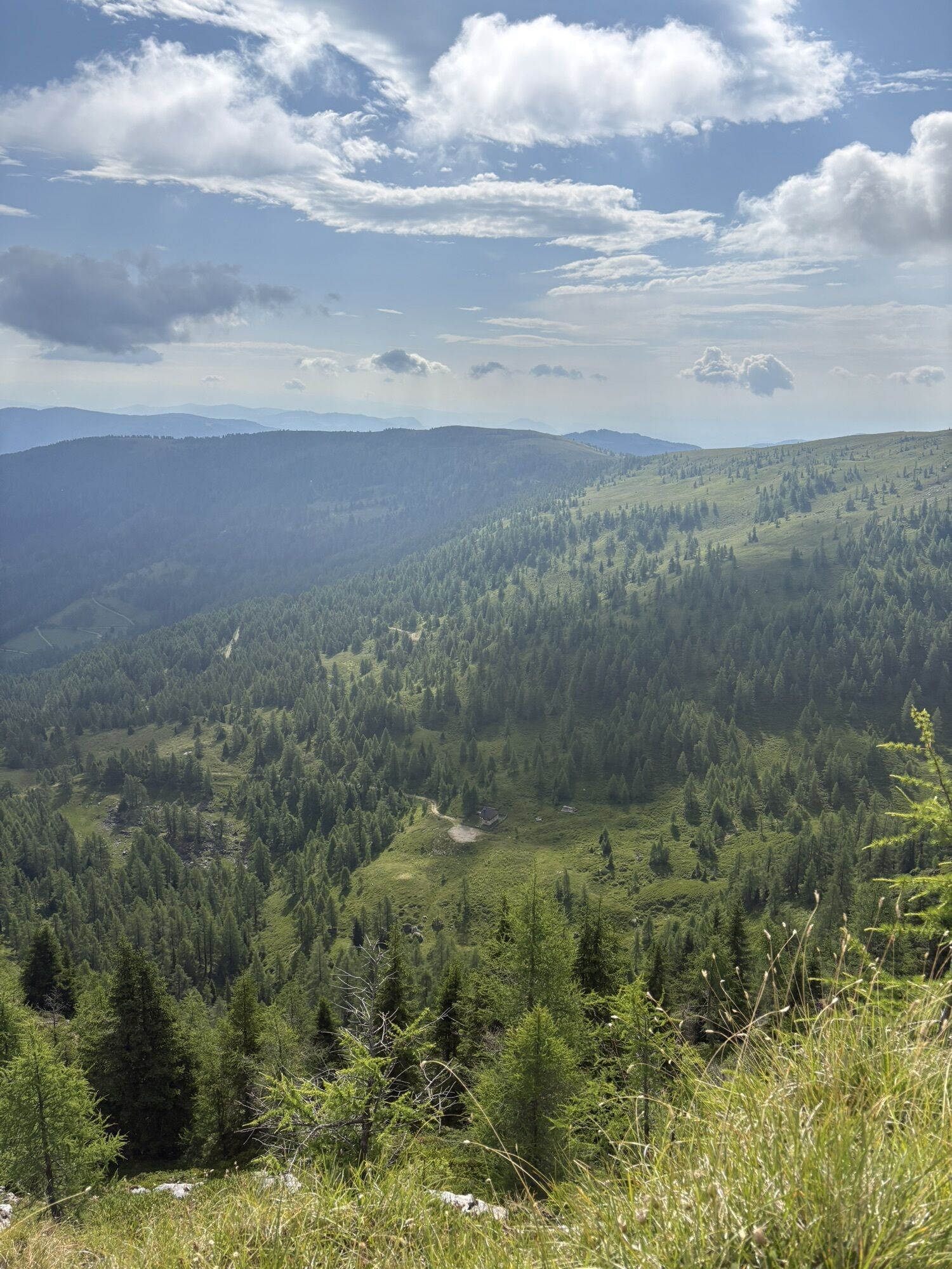
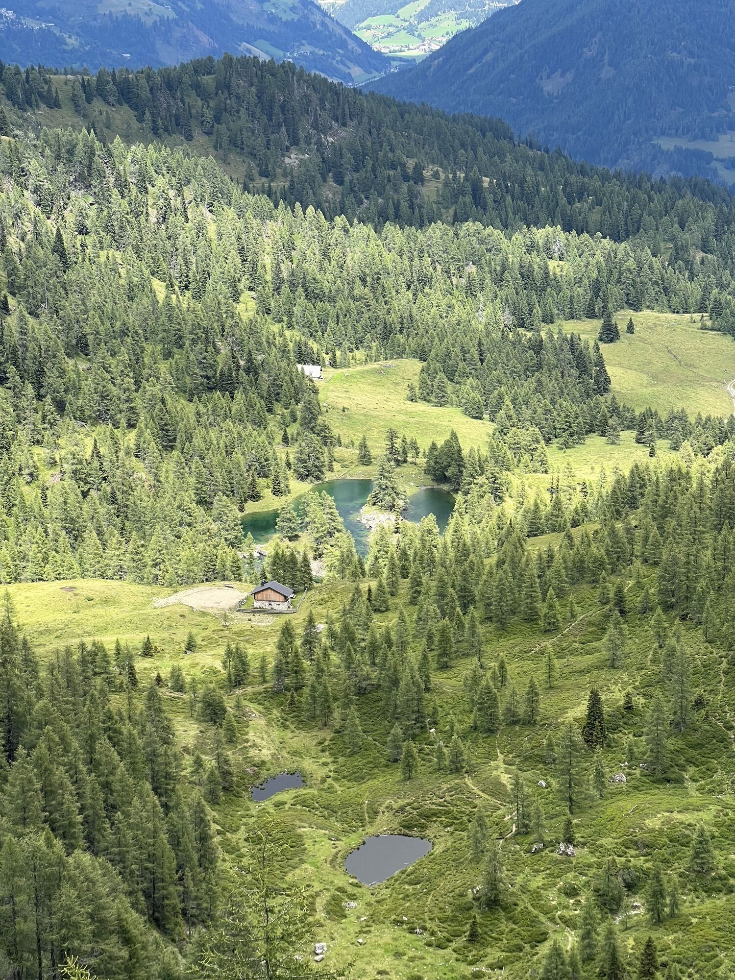
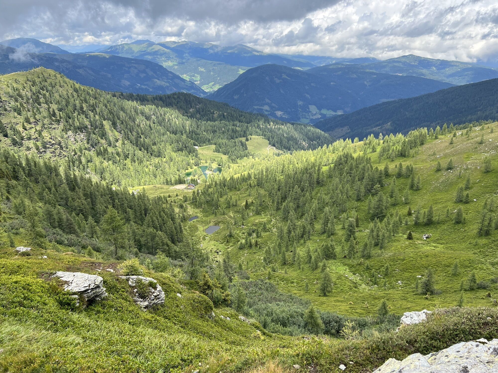
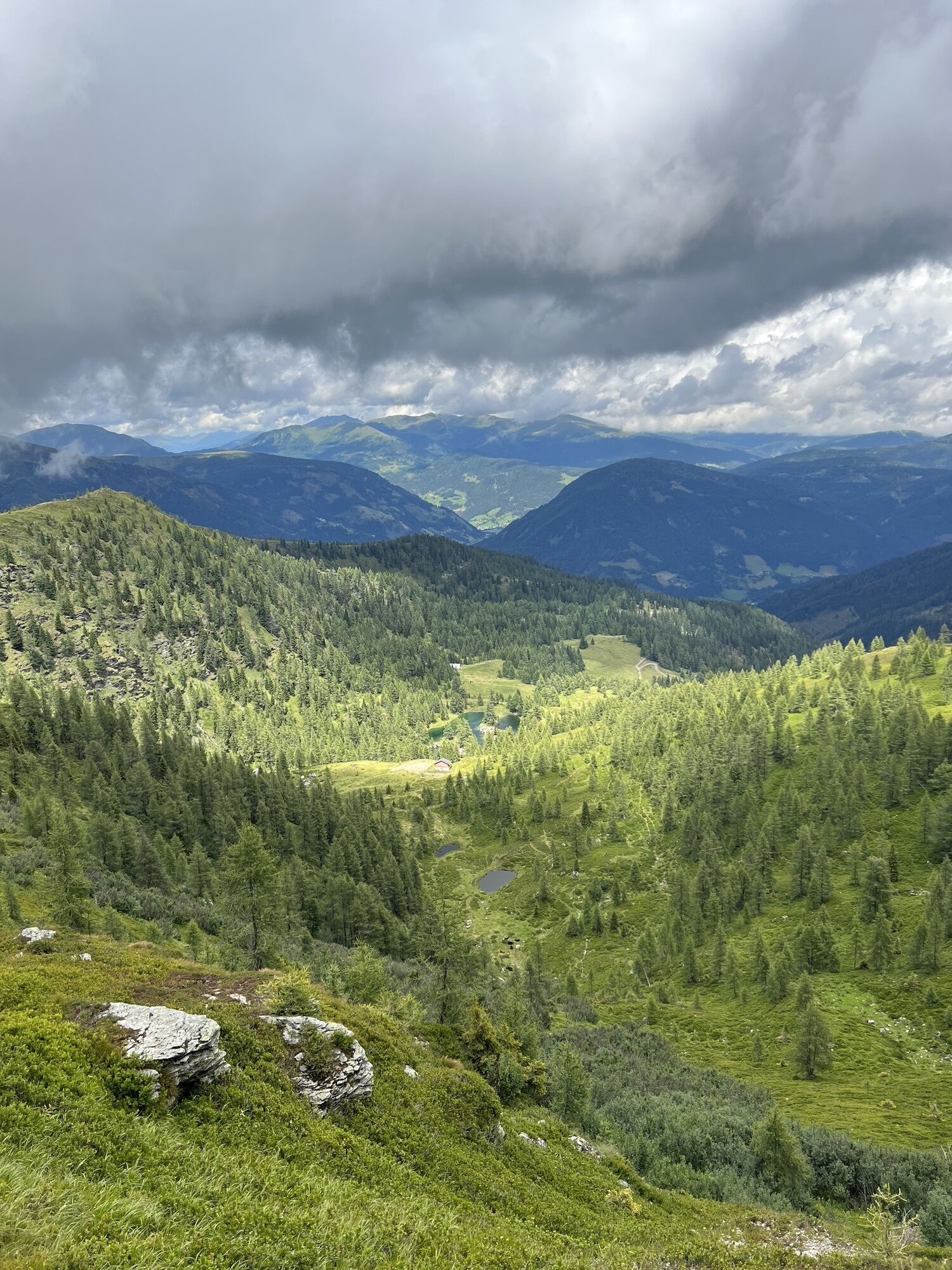
The now somewhat steeper descent to the east is also clearly visible in the vegetation – the lower we go, the denser the tree population becomes. At first, scattered larches resist the cold on the mountain, while in the lower alpine pasture area, the less hardy spruce prevails. Following the contour line, the path now swings north before we march further east towards the Geigerhütte (1,665 m) after reaching the valley basin.
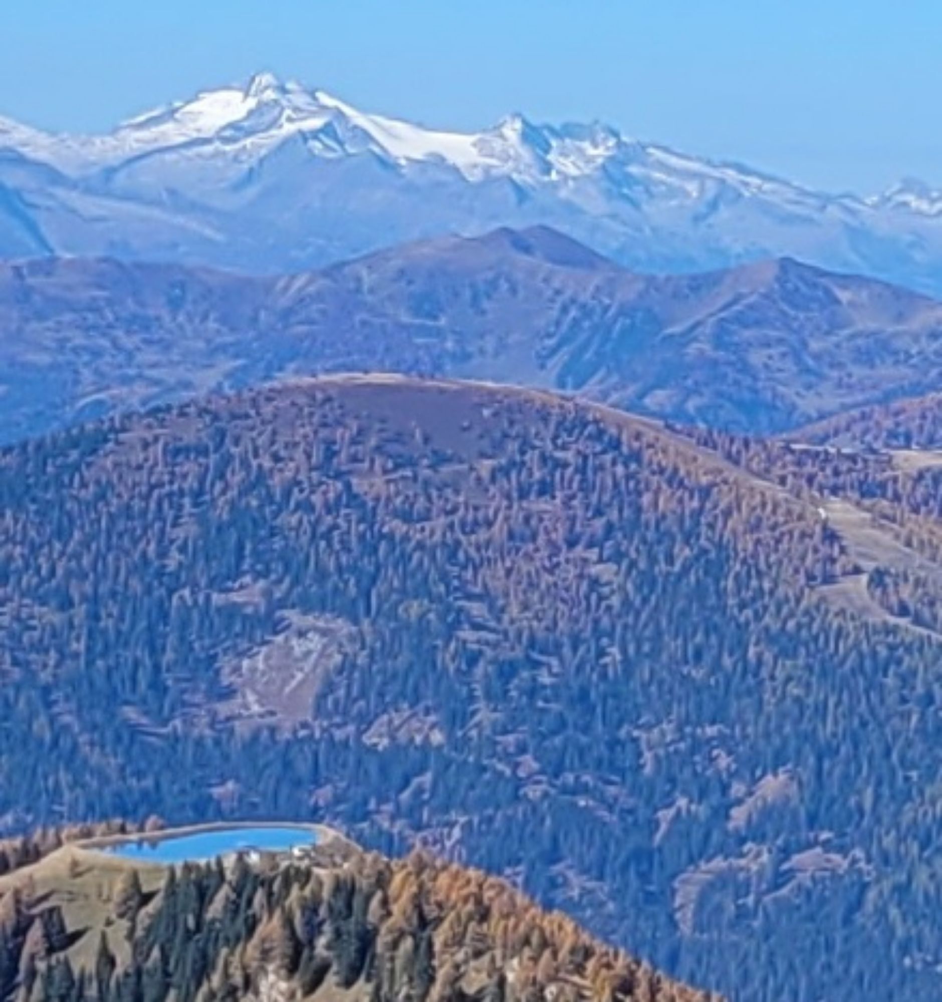
A detour to the staffed alpine hut is worthwhile – a good time for an extensive rest. After the break, the ascent to Lichteben is easy. At the border area between alpine pastures and mountain forest, we climb about 300 vertical meters in an exceptionally charming landscape. The newly created hiking trail runs off the usual routes and reveals previously unknown facets of the Nock mountains. The mountain pastures accompany us up to the ridge called Lichteben, which we follow westward.
Optionally, a break can be taken here at the nearby Walderhütte (1,960 m). After Pfaffeneck (2,046 m), the path turns north and follows the contour line back in steep terrain to the starting point Kaiserburg.
Áno
Áno
Áno
Important prerequisites for the success of a mountain hike, besides the careful study of guides and maps, are optimal equipment. The basic equipment includes:
solid, well-fitting mountain or hiking boots with a grippy sole
water- and wind-resistant mountain clothing in layers, hiking poles
sunglasses, sun protection
mobile phone and hiking map
a first aid kit
as well as enough to drink and a snack
www.sichere-almen.at
Emergency numbers:
140 Alpine emergency call
144 Rescue emergency call
112 European emergency call (possible from all networks. Turn off the mobile phone and after switching it on, dial "112" instead of the PIN)
The route partly leads over public roads and paths. Watch out for vehicle traffic and obey traffic regulations.
The 12 most important rules for behavior in the mountains
1. Every hike should be carefully planned! What is the route like? Where are huts? How far are the distances?
2. Inform yourself about the weather forecast!
3. The equipment must fit: important are good footwear, a weatherproof backpack, sun protection, warm and windproof clothing, sufficient drinks and provisions as well as a small first aid kit, hiking map and a mobile phone.
4. Inform the landlord or acquaintances where you are going and also when you expect to be back. In an emergency, it can also be helpful to enter the huts’ or summit books.
5. Adapt every mountain or mountain bike tour you undertake to your personal condition. If children are there, absolutely adapt to their condition.
6. Avoid walking too fast! The pace should be adjusted to the weakest member of the group. Take smaller breaks again and again.
7. Do not leave the marked paths.
8. Be cautious. Do not dislodge stones that could endanger other hikers. In rocky terrain, animals like chamois can also often trigger rockfall.
9. If a thunderstorm threatens, turn back in time. Should you still get caught in a thunderstorm, keep away from isolated trees, do not stay on the summit or ridge and seek lower areas or valleys. The only shelter from storms in the mountains is a safe accommodation.
10. In case of emergency, stay calm. Get help by mobile phone, shouting or by waving with larger pieces of clothing to attract attention. Do not leave injured persons alone and try to bring them out of the danger zone.
11. Dogs must always be on a leash!
12. Please keep the mountains clean and take your waste back with you!
Approach via A2 South Motorway, exit Klagenfurt North
to Feldkirchen; via B95 to Patergassen, turn left onto B88 and follow the road to Bad Kleinkirchheim
Approach via A10 Tauern Motorway, exit junction Spittal-Millstätter See
via B98 to Radenthein, then switch to B88 and follow the road to Bad Kleinkirchheim
Approach via A10 Tauern Motorway, exit Villach-Ossiacher See
via B98 to Radenthein, then switch to B88 and follow the road to Bad Kleinkirchheim
As a feeder to public transport, Nockmobil, a demand-oriented call-collective taxi, is a green alternative to cars and flexibly takes you from stop to stop.
We recommend a lead time of about one hour for booking a ride with Nockmobil. You can book your call taxi by phone at +43 123 500 444 24, via the app, or the Nockmobil website.
Free parking lot:
Römerbad/Kaiserburgbahn
Further information about the Bad Kleinkirchheim region at: www.badkleinkirchheim.at
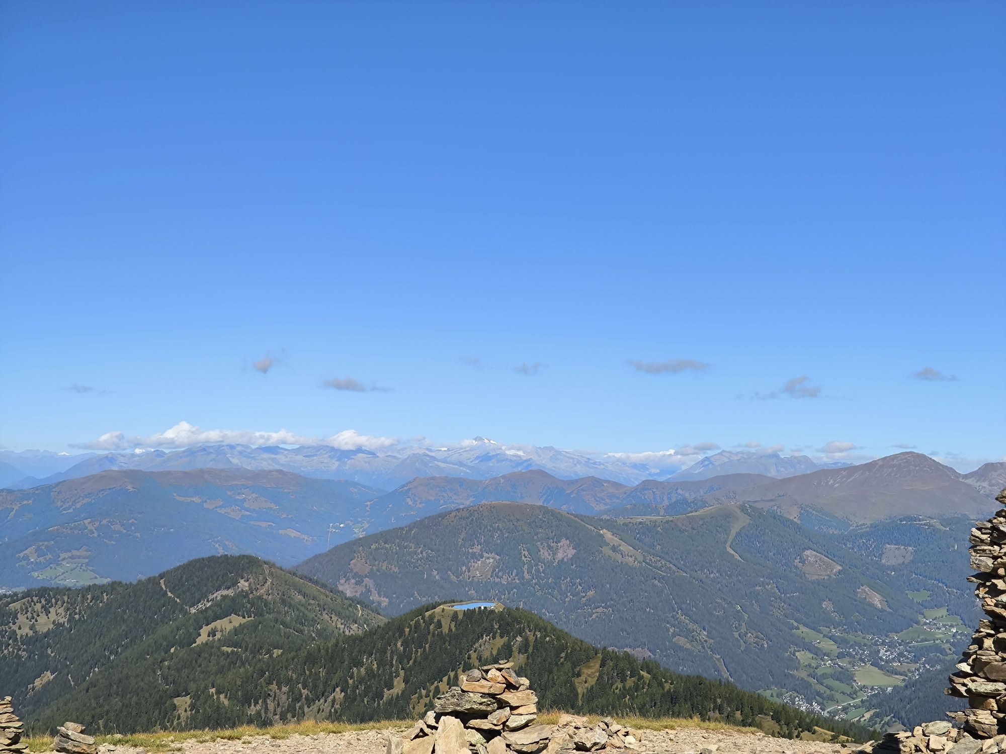
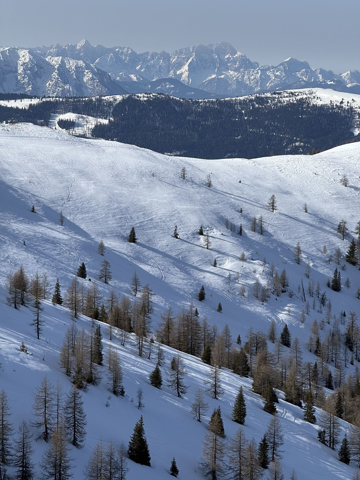
Discover the unknown side of the Wöllaner Nock: On the Wöllaner Nock Alpine route, fans of impressive mountain panoramas will get their money's worth. Most of the hike runs on mountain ridges, four summits lie on the way, and in all directions, we enjoy the panoramic views with sights of the Karawanks and Julian Alps as well as local mountain ranges. The alpine pasture area between Geigerhütte and Walderhütte is accessible thanks to a new path from an unexpected perspective.
Make sure not to miss the last descent ride with the Kaiserburgbahn when planning this hike!

 Získajte prehľad
Vždy naživo na mieste s viac ako 9 500 webovými kamerami. bergfex Ako používateľ Pro si teraz môžete pozrieť príslušné webové kamery pre mnohé zájazdy v aplikácii zájazdy z. Môžete si tak priamo prezerať aktuálne podmienky.
Získajte prehľad
Vždy naživo na mieste s viac ako 9 500 webovými kamerami. bergfex Ako používateľ Pro si teraz môžete pozrieť príslušné webové kamery pre mnohé zájazdy v aplikácii zájazdy z. Môžete si tak priamo prezerať aktuálne podmienky.
Aktivity počas prehliadky


Obľúbené výlety v okolí
-
4,4
Finsterbach Waterfalls - Circular route
strednáTuristika 3,87 km -
4,9
Nockbergrundwanderweg
strednáTuristika 6,62 km -
4,8
Große Rosennock Runde
Turistika 9,80 km -
4,6
Falkertsee - Sonntagstal - Falkert
strednáTuristika 4,84 km -
4,8
St. Oswald - Circular hike - Mallnock - Klomnock
strednáTuristika 10,9 km -
4,7
Falkert, Murmelsteig B/C mit Direktem Abstieg
strednáVia ferrata 3,61 km -
4,9
4 Huts route
strednáTuristika 8,96 km -
5,0
Amberg: Palnock 1901m, Schwarzsee, Rundstrecke
strednáTuristika 7,94 km -
4,5
Rundweg über den Falkert
strednáTuristika 6,26 km -
4,9
Skitour: FIS K70, Auf Franz Klammers Spuren
strednáSkitour 11,3 km
Turistika a stopovanie


Nenechajte si ujsť ponuky a inšpiráciu na ďalšiu dovolenku
Vaša e-mailová adresa bol pridaný do poštového zoznamu.





