






Goldeck – Weissensee – Ruperti long-distance hiking trail
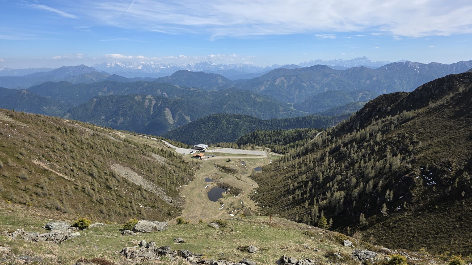
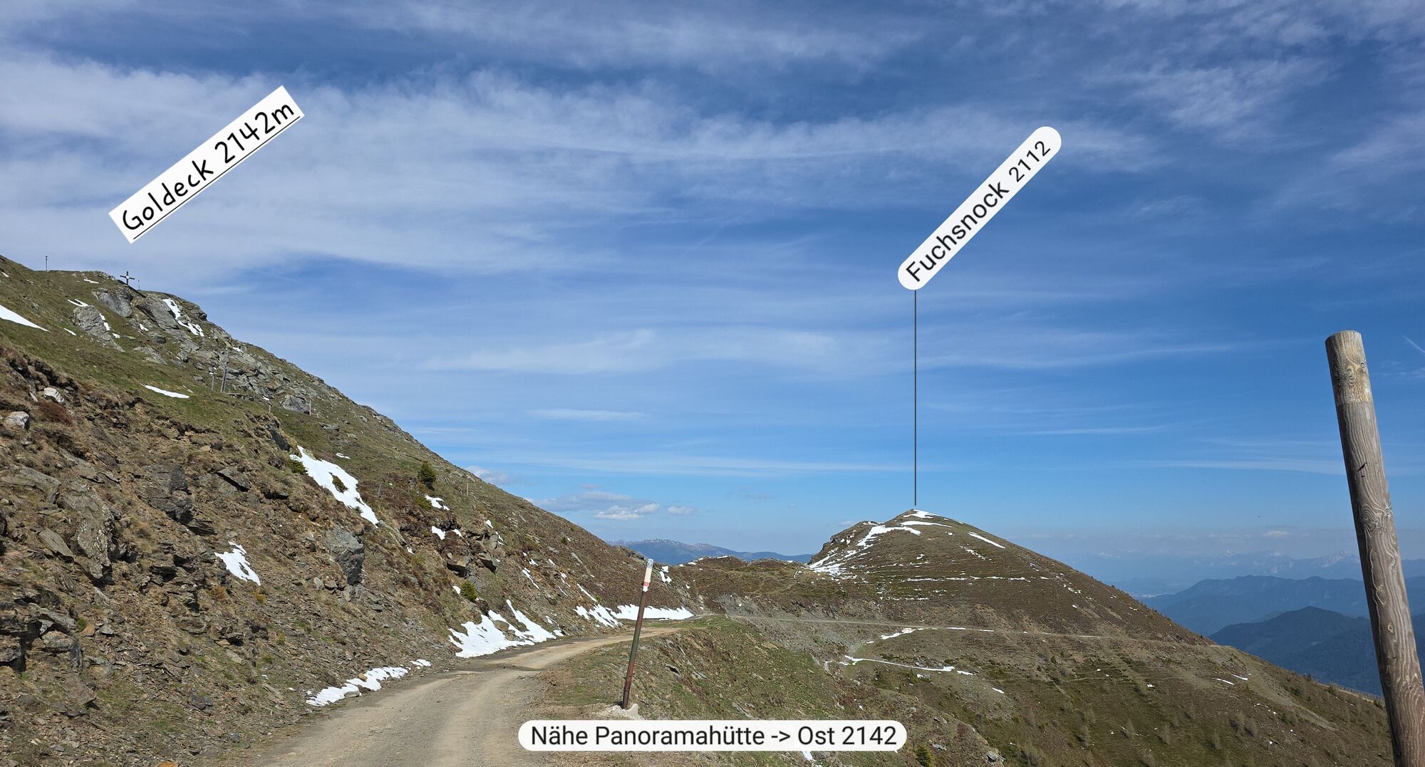
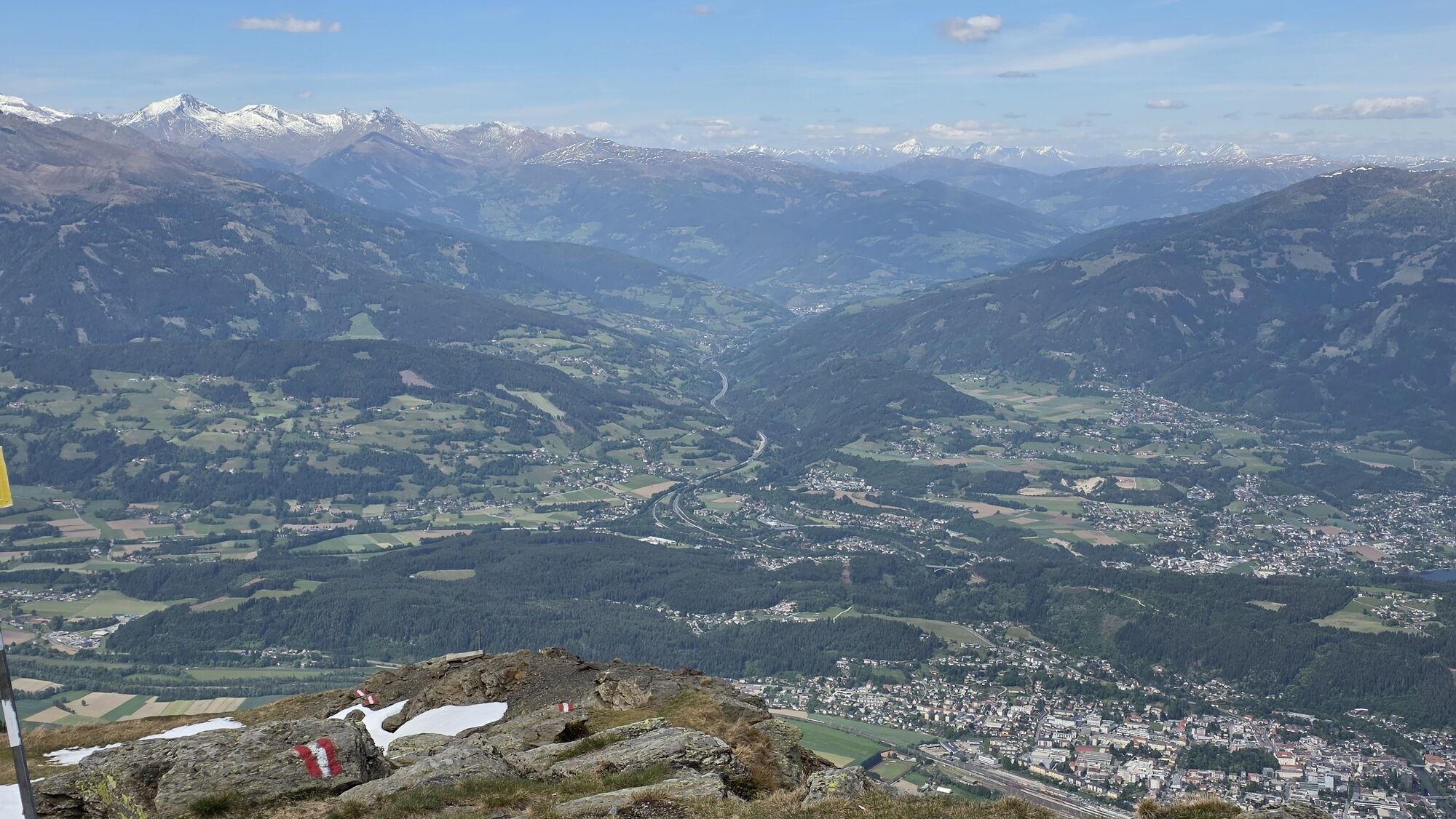
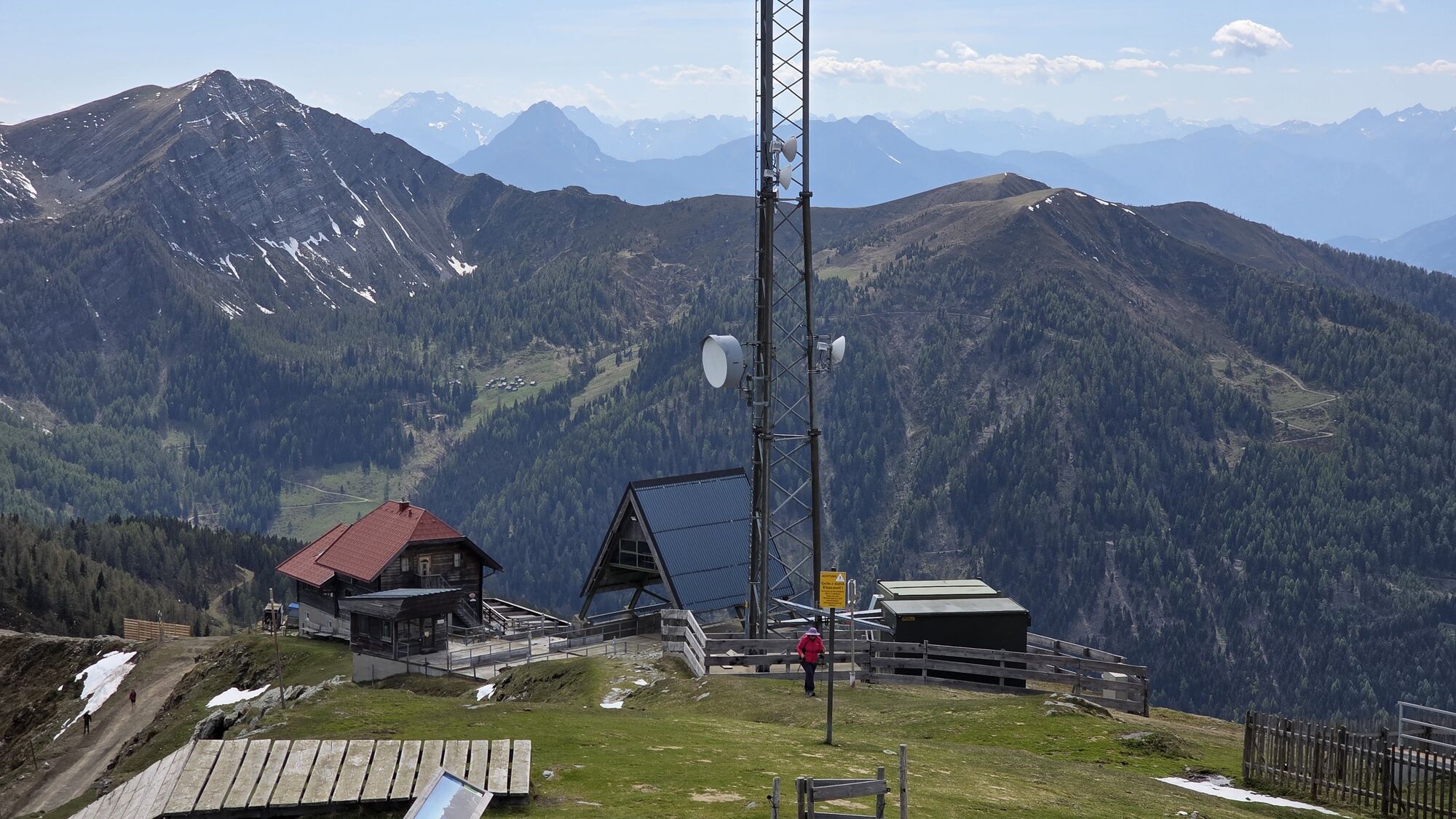
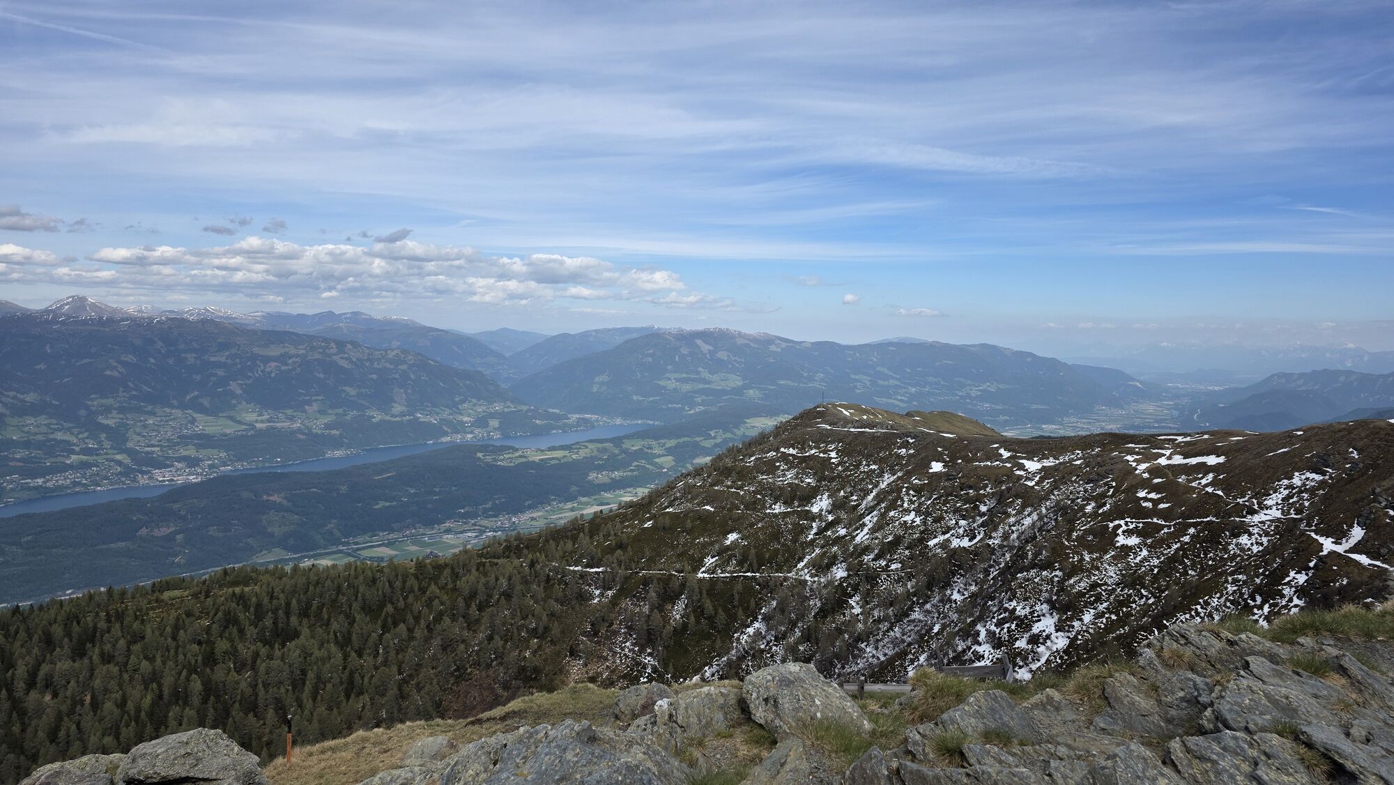
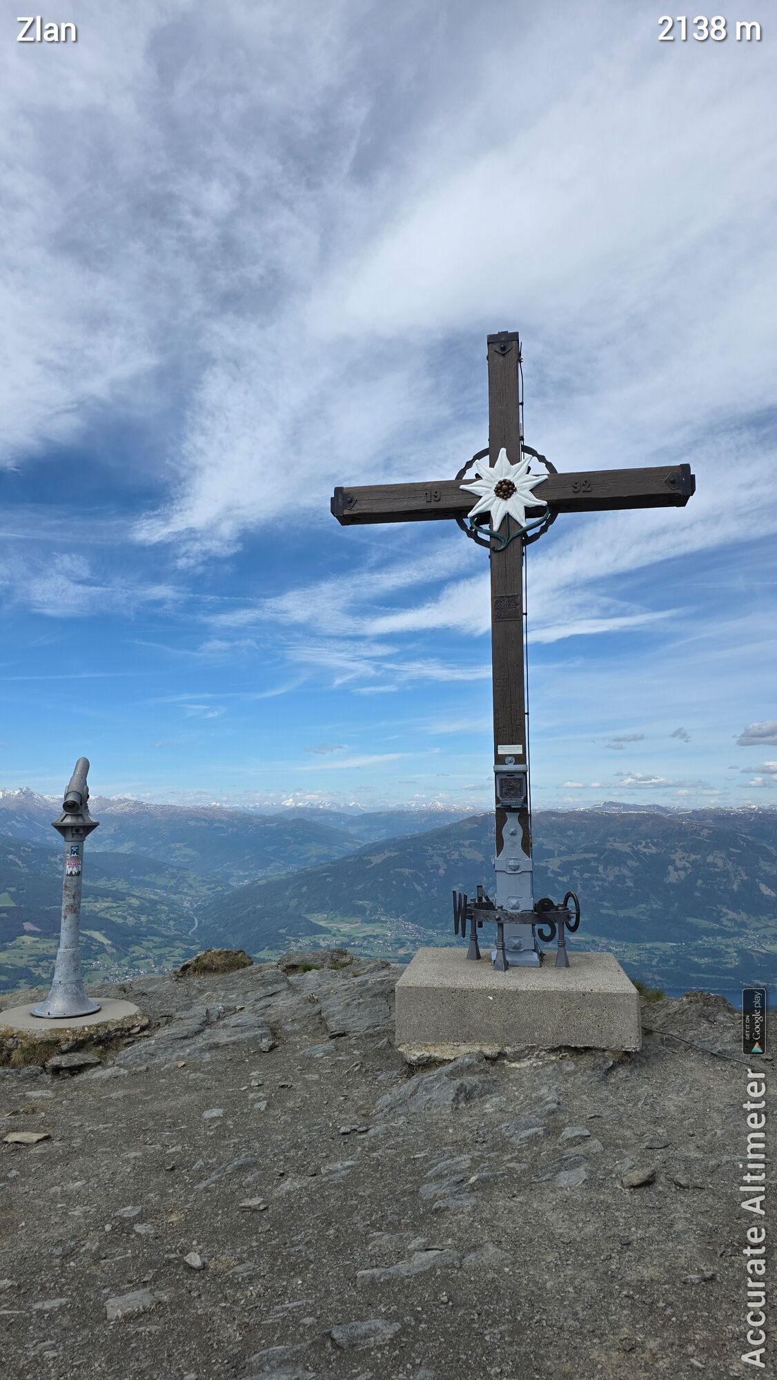
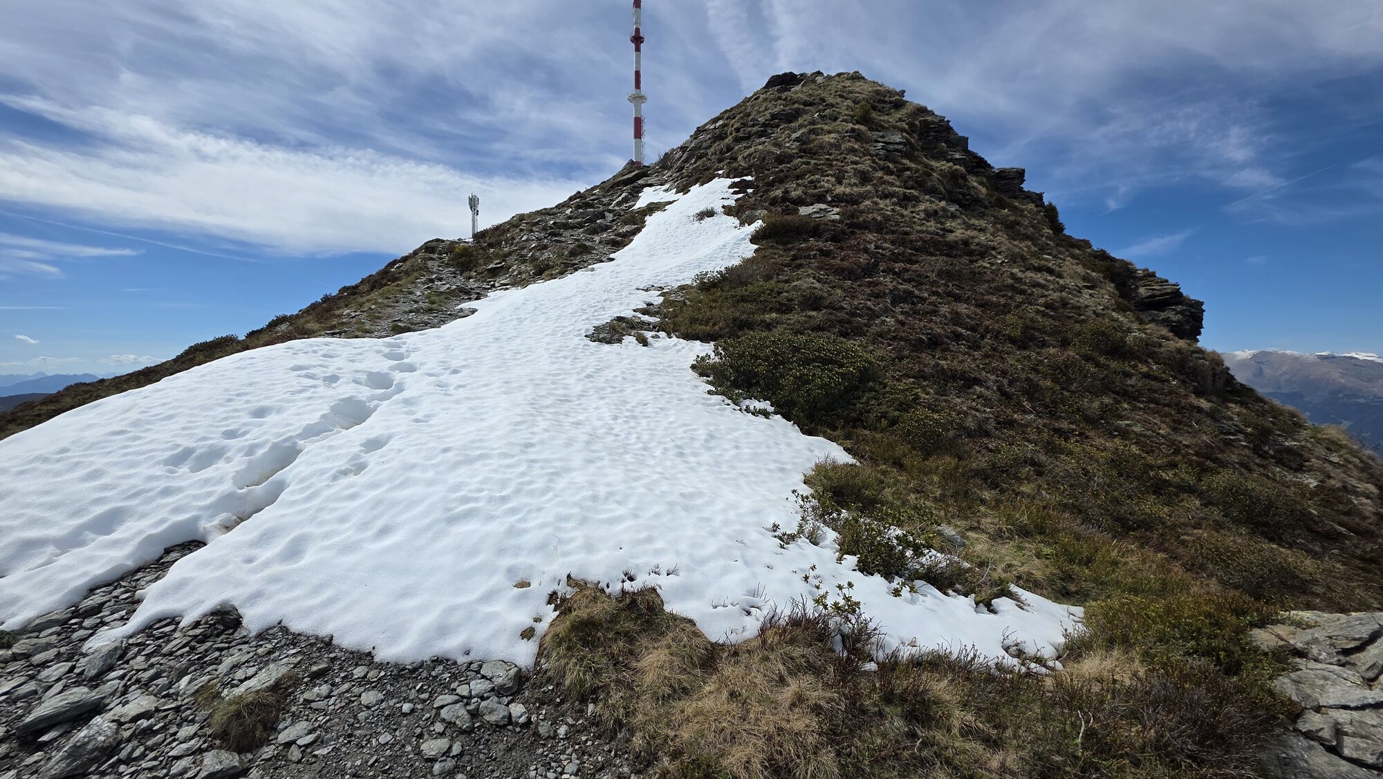

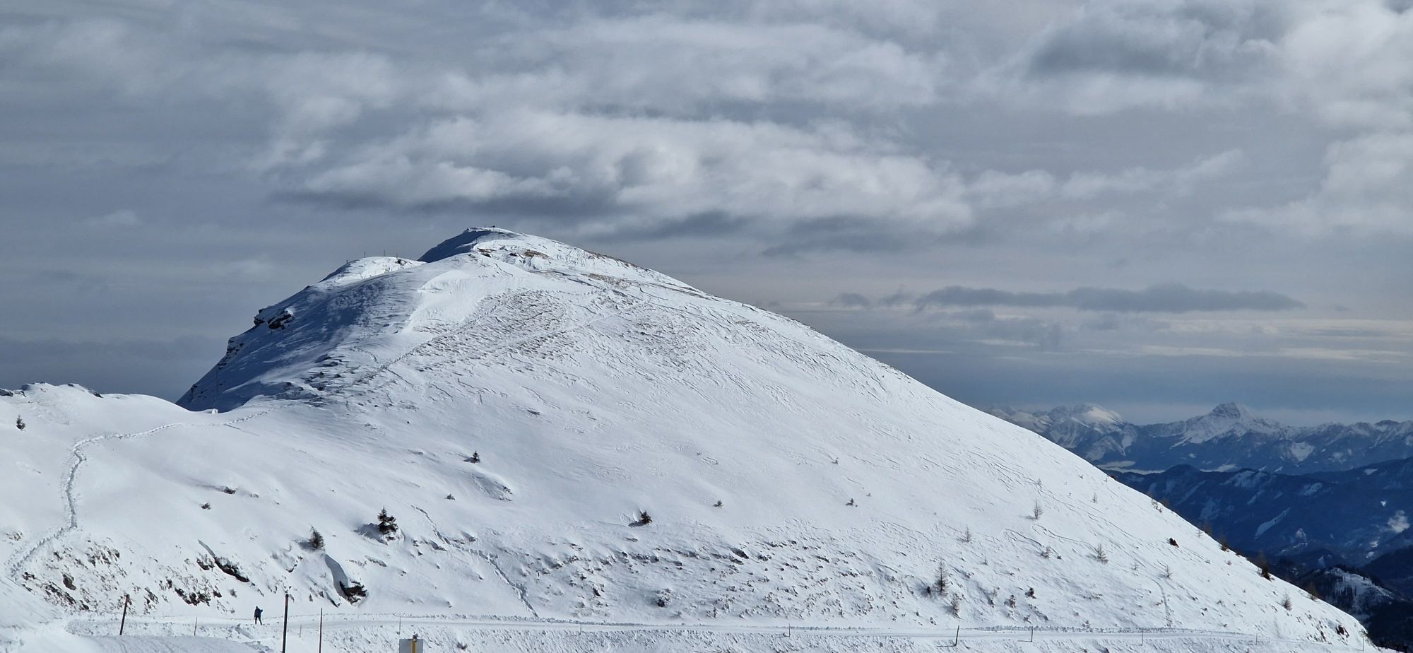
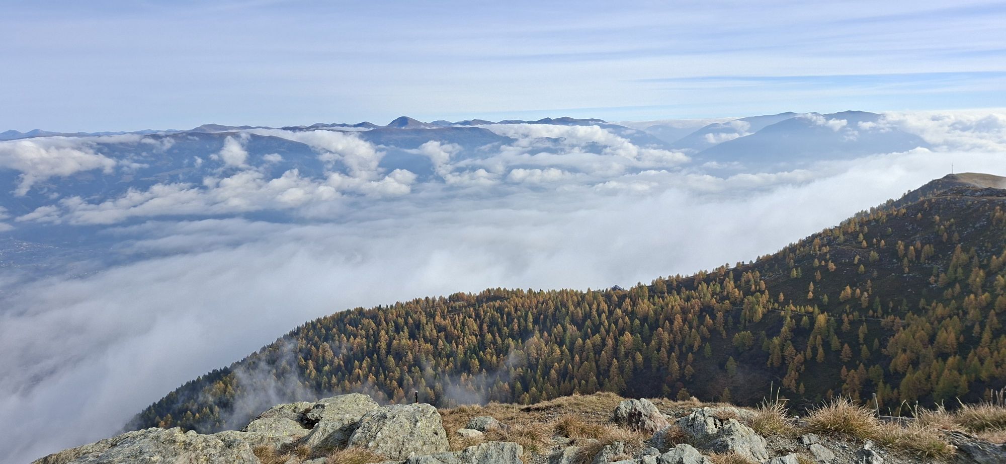
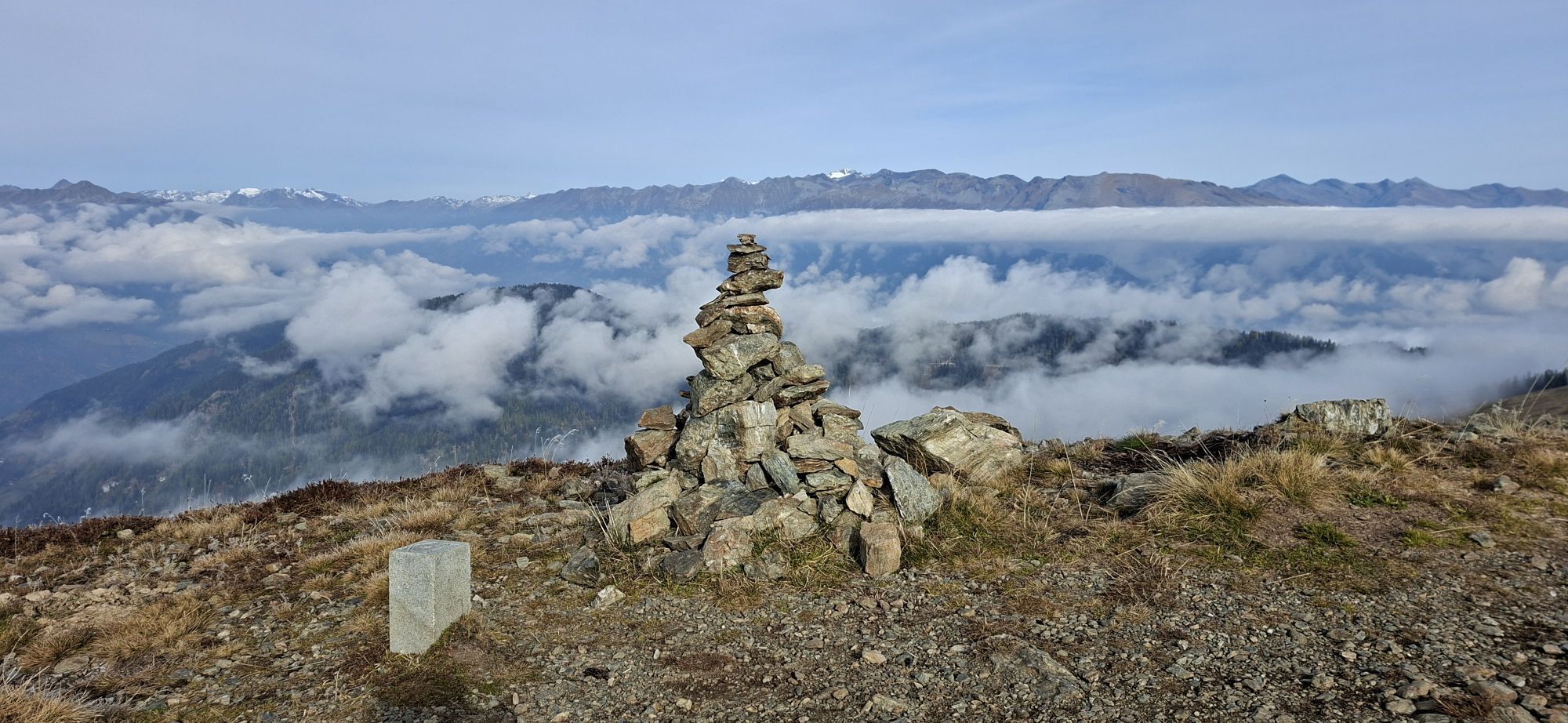
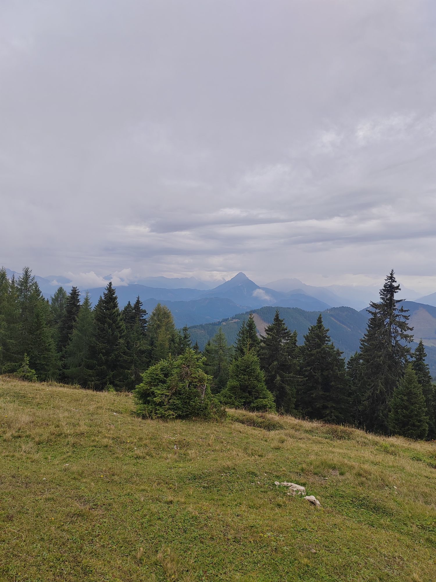
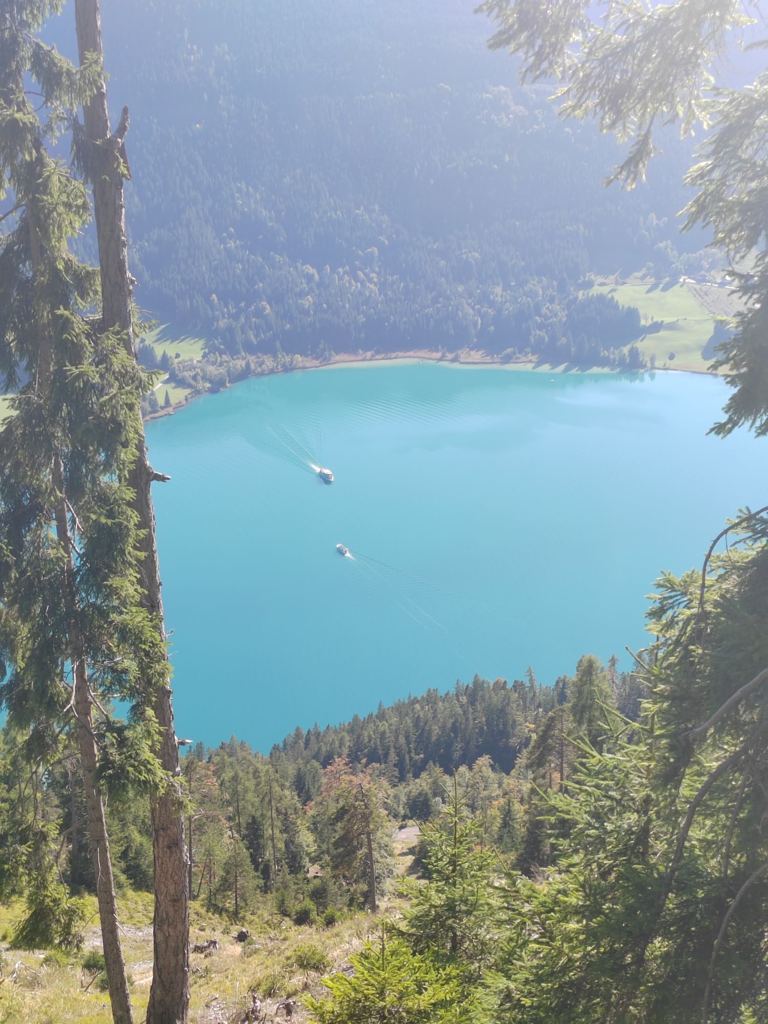
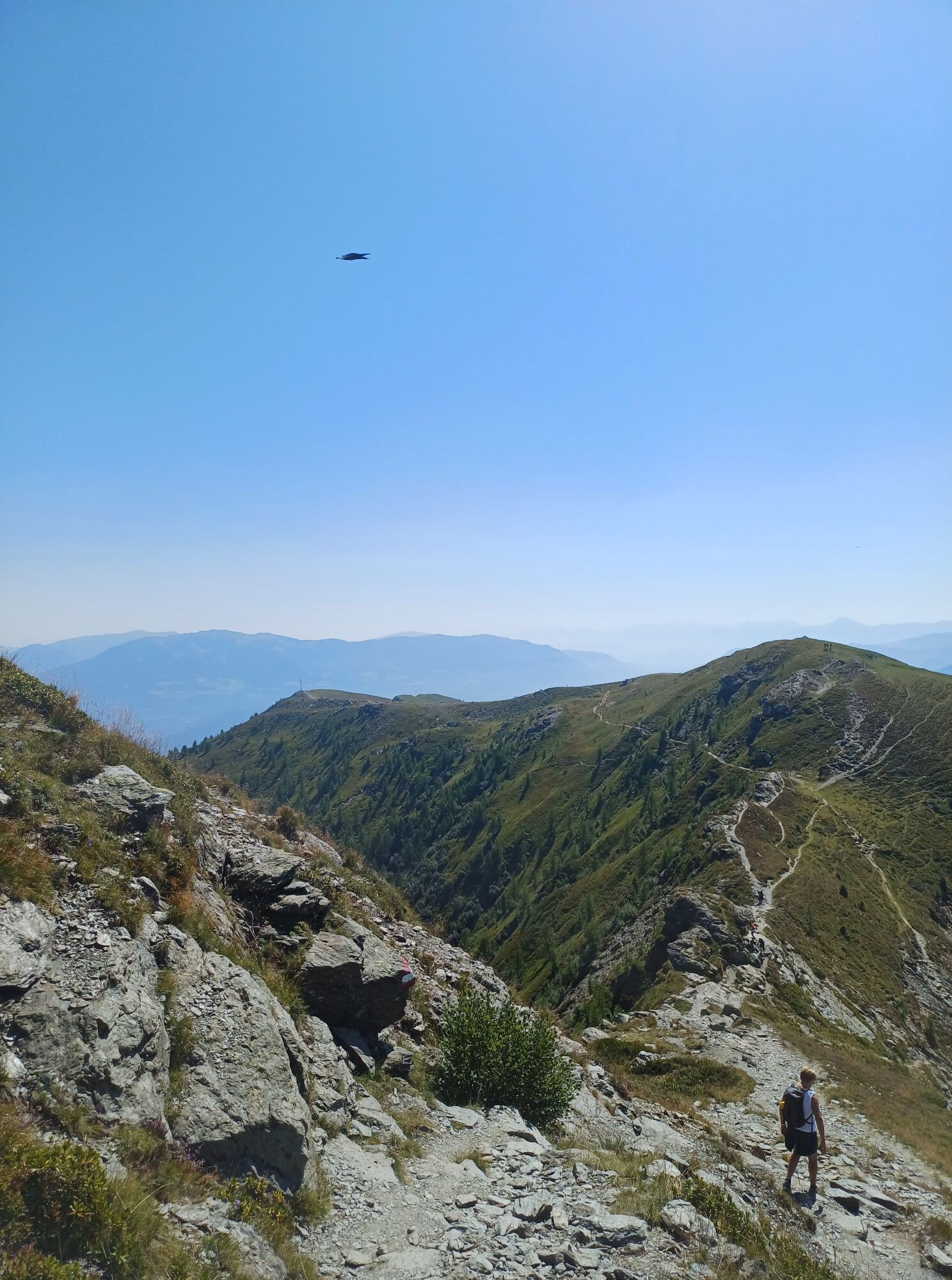
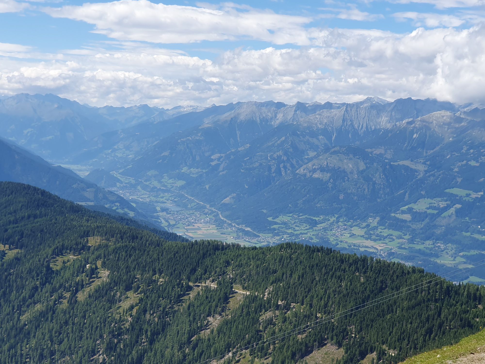

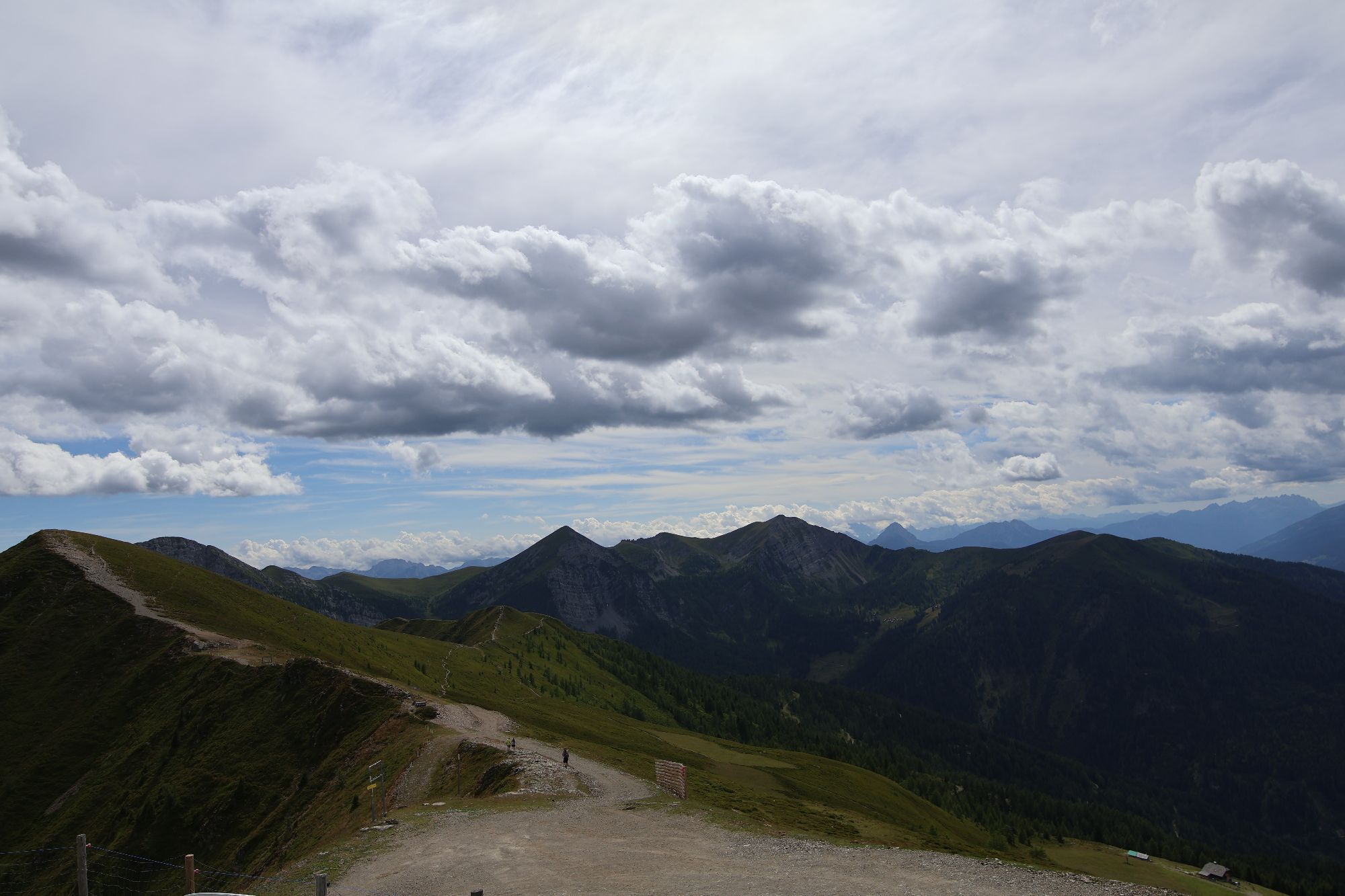
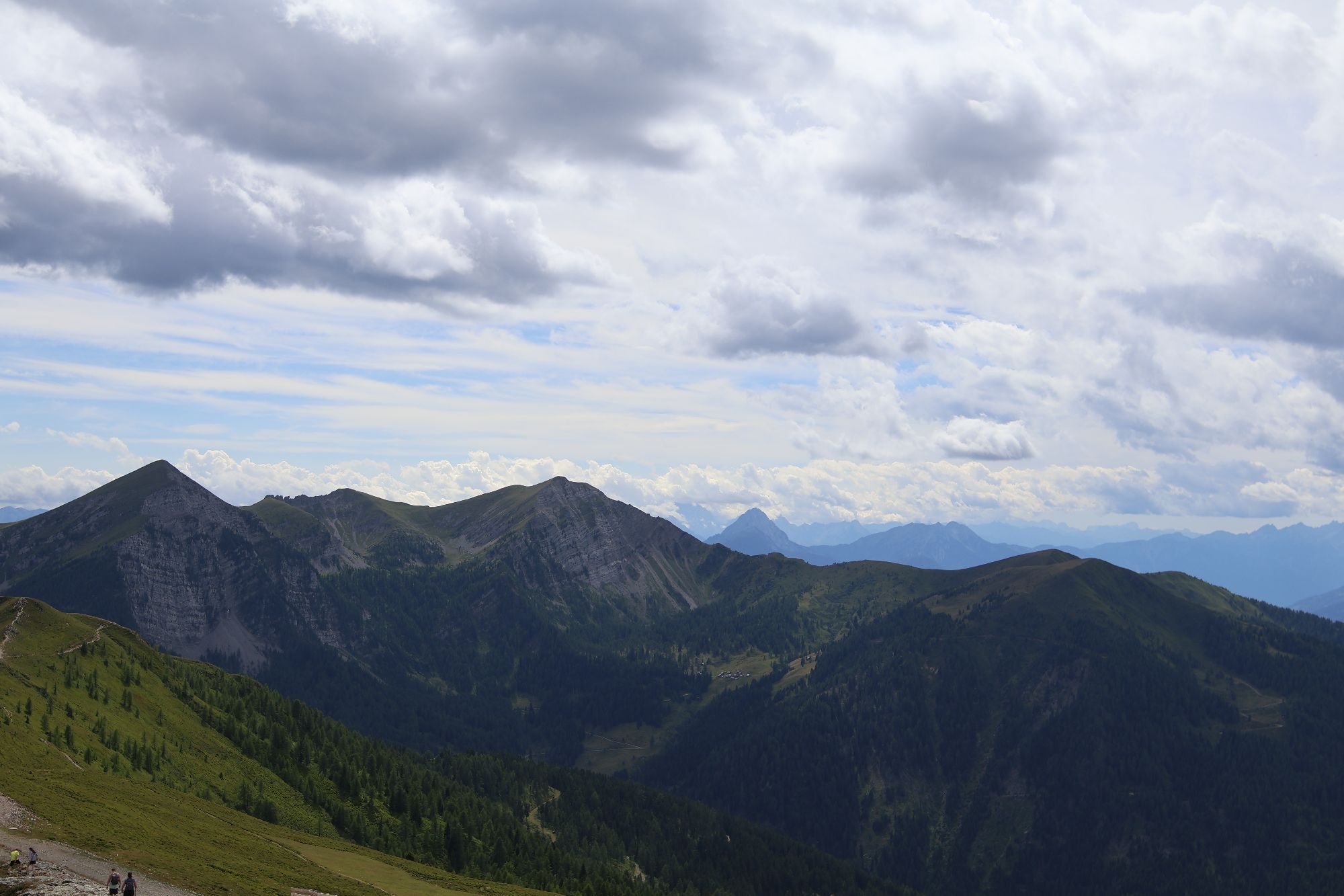
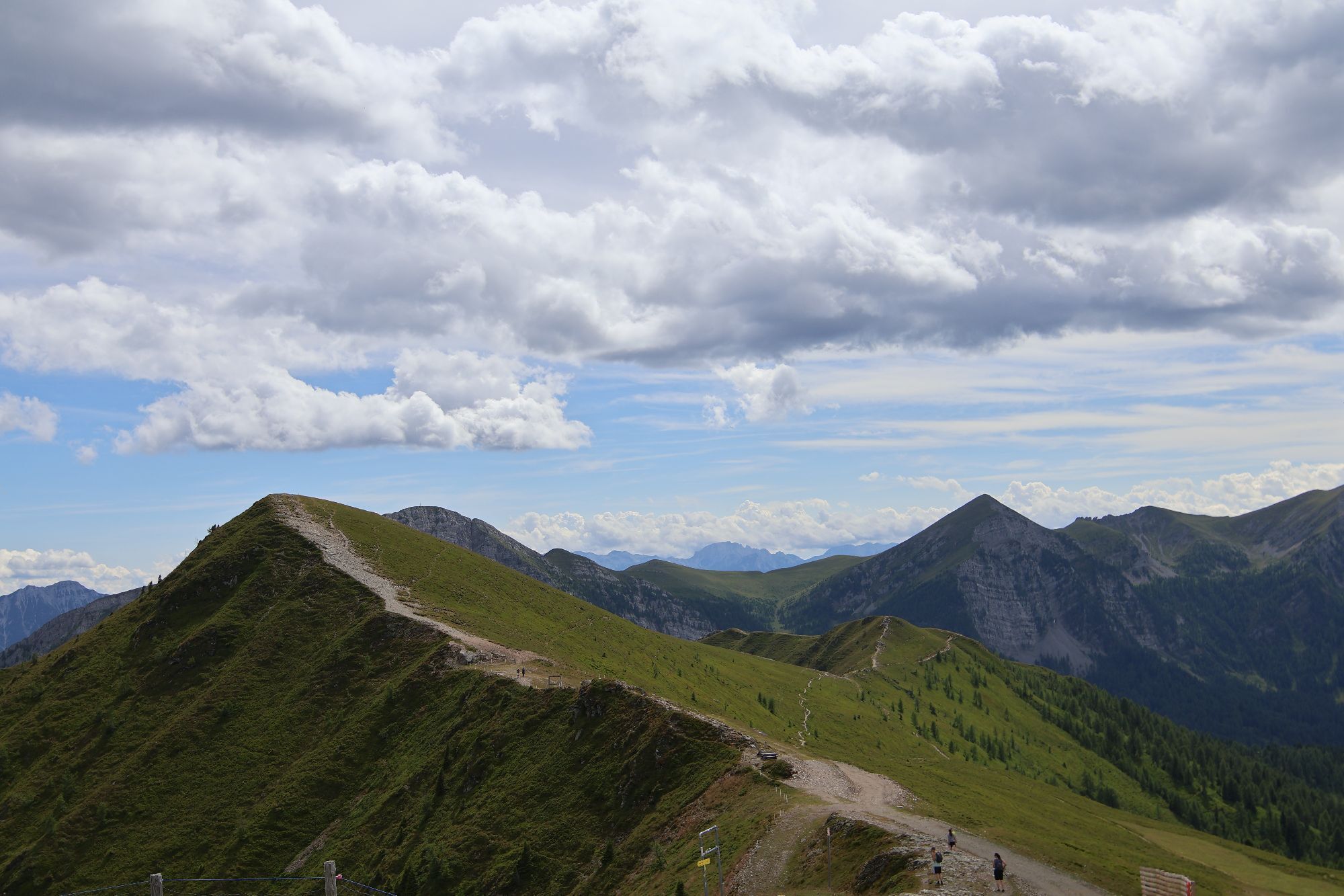
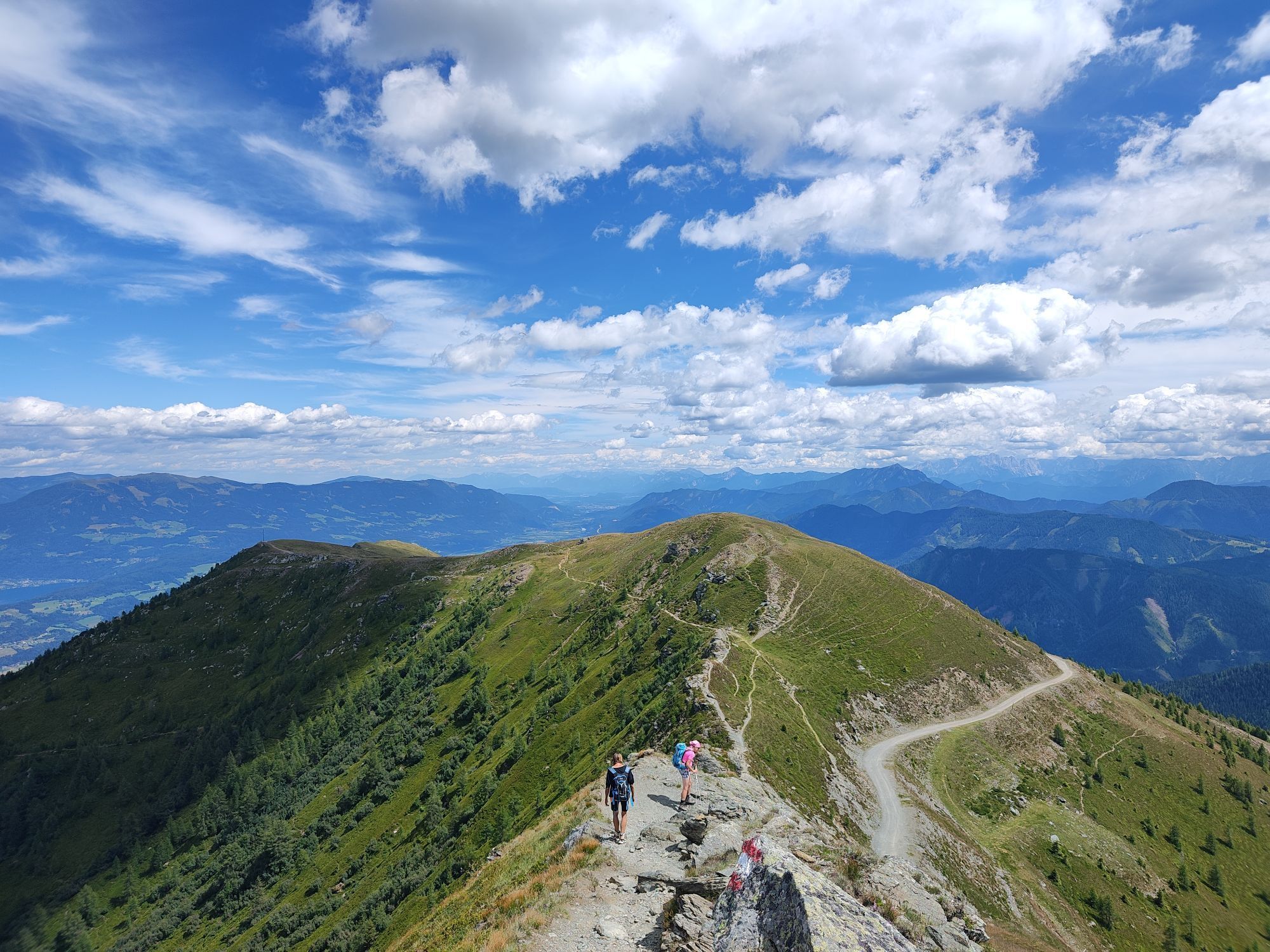
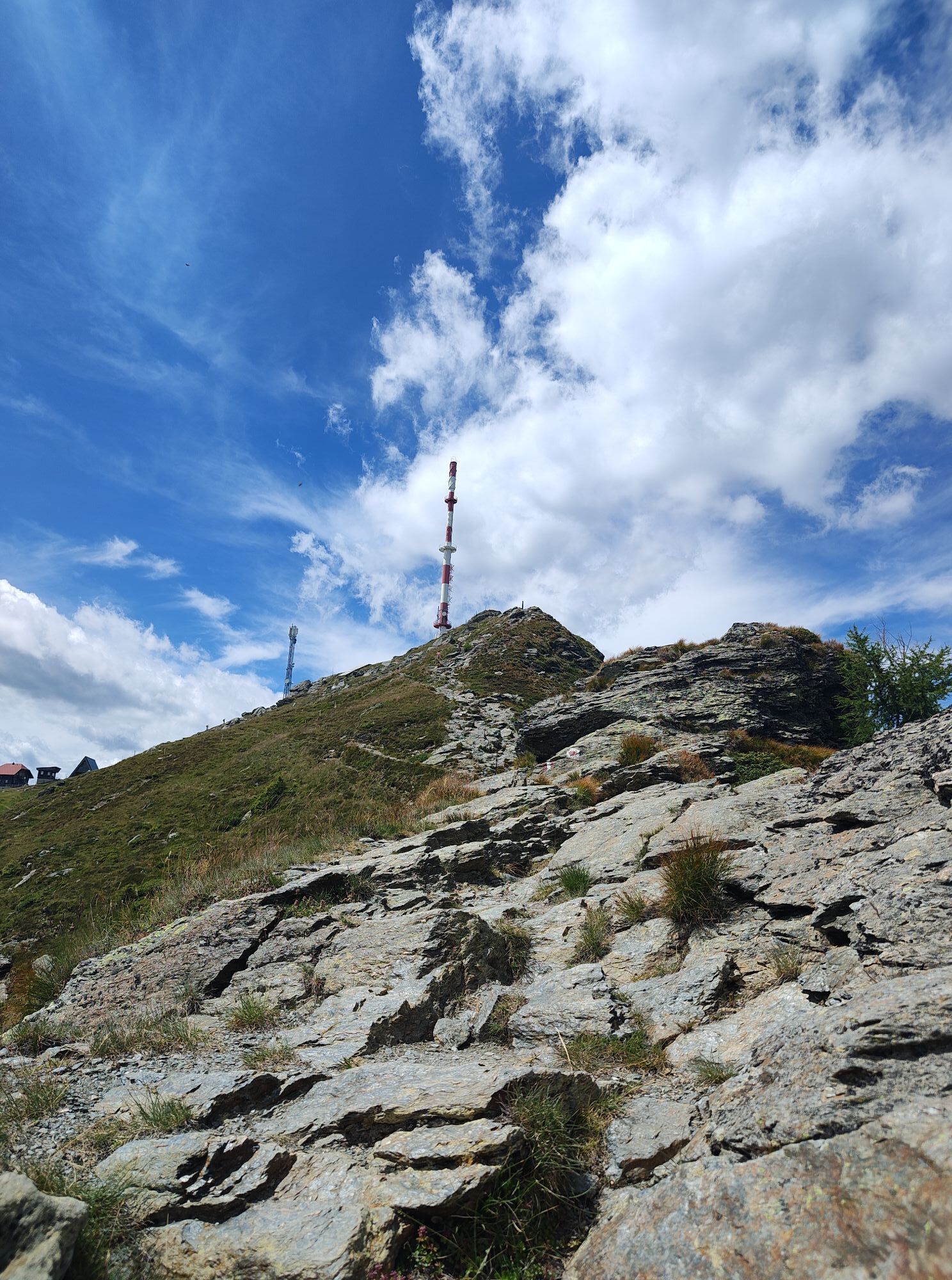
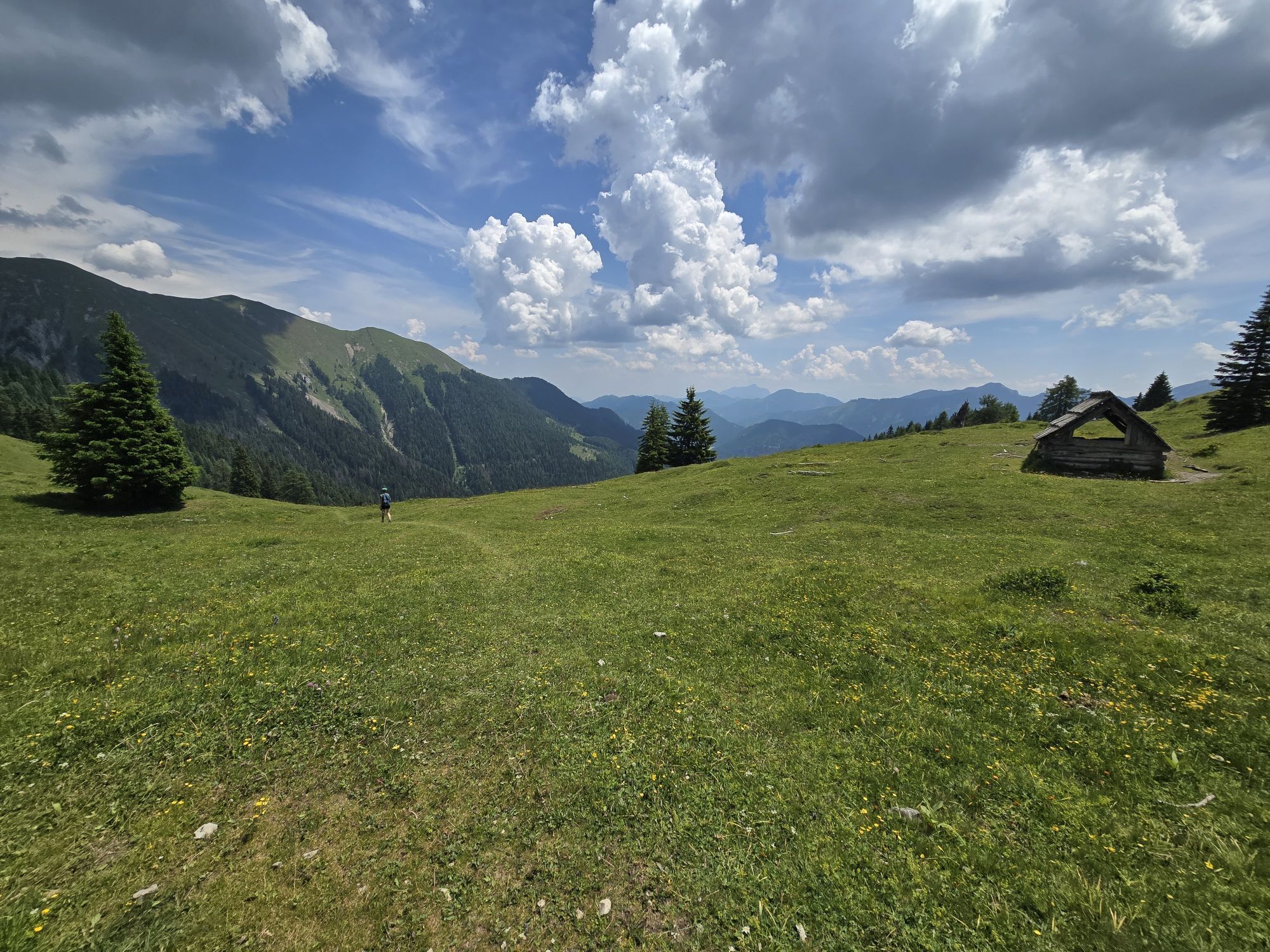
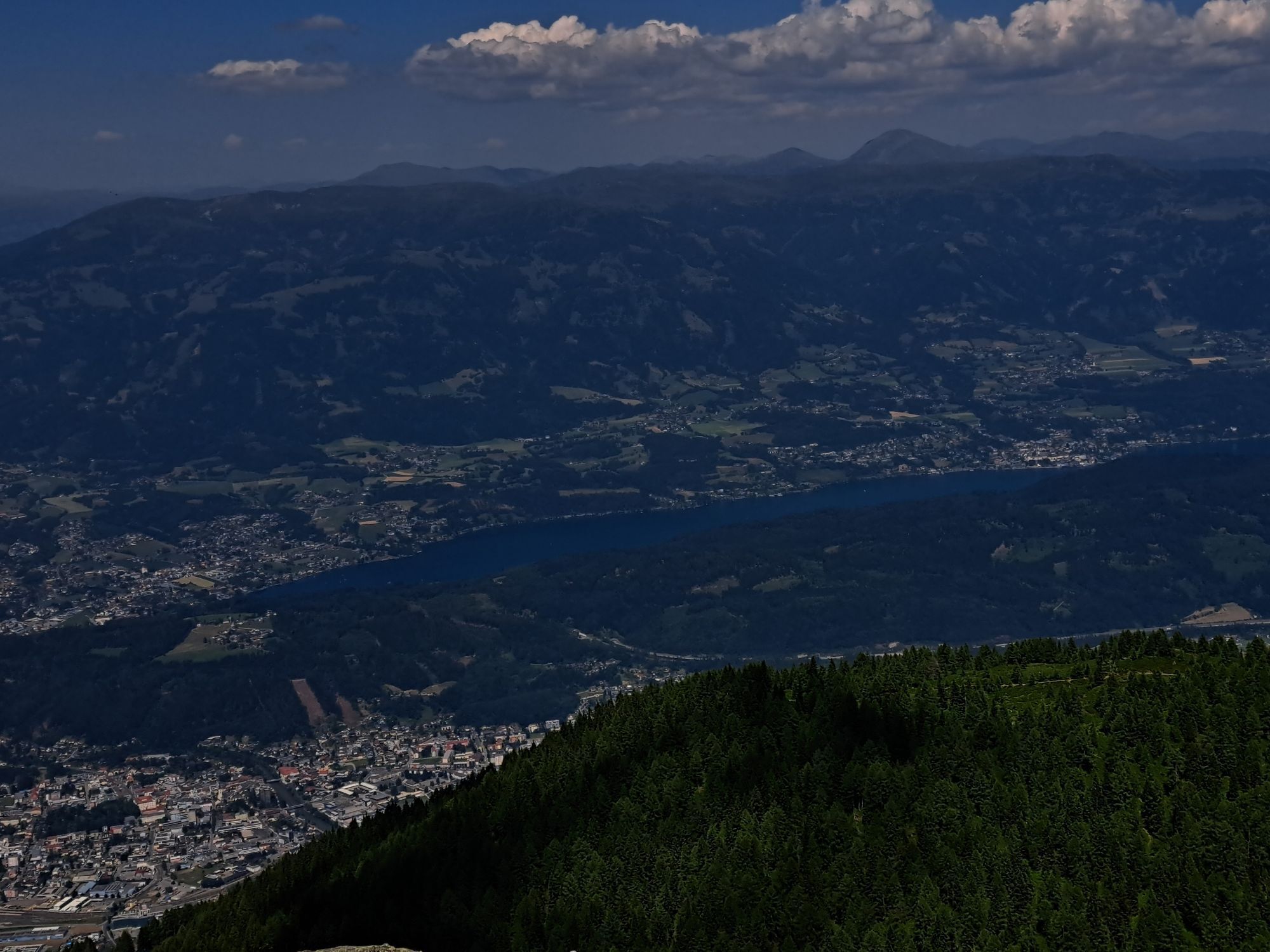
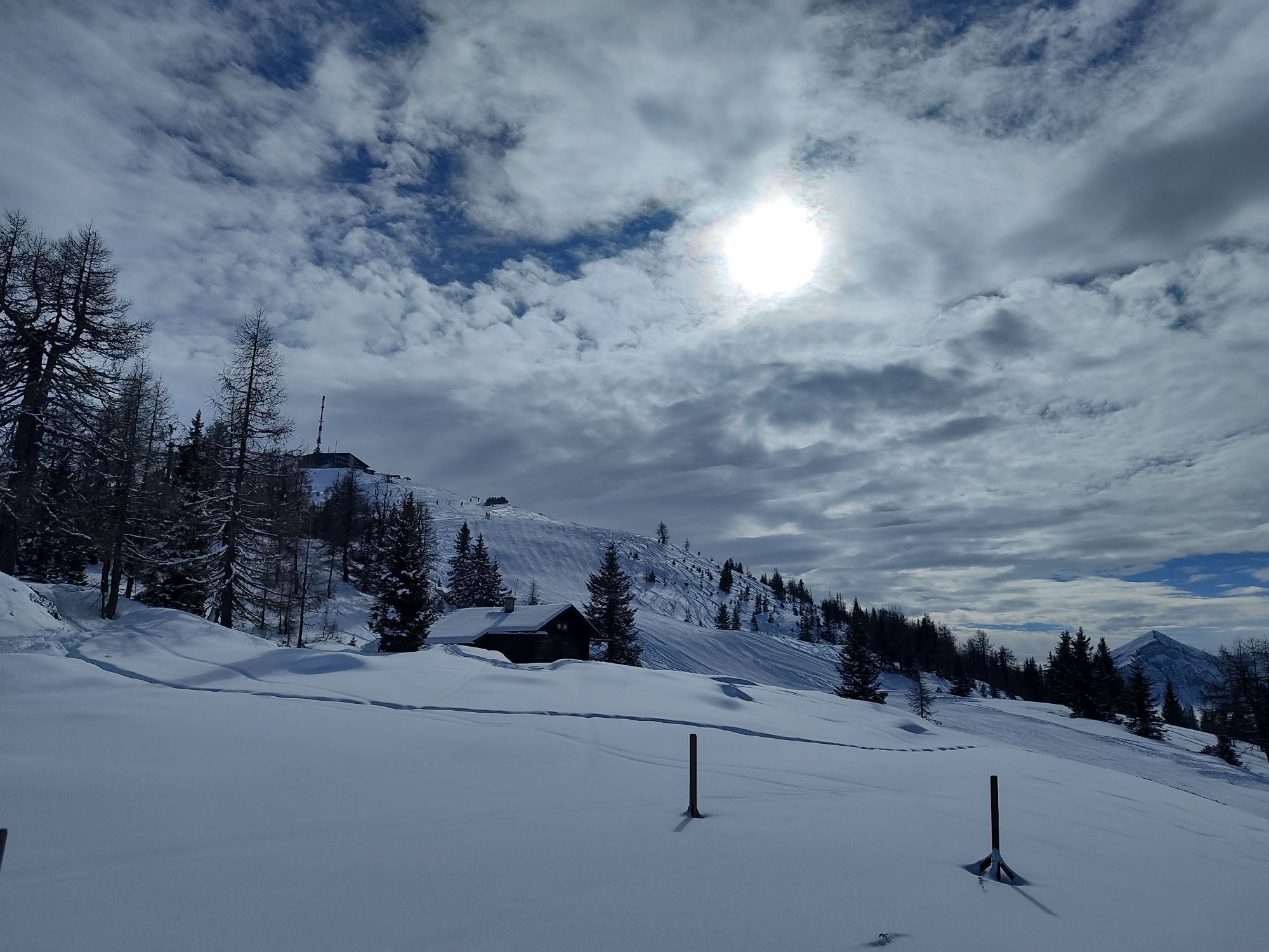
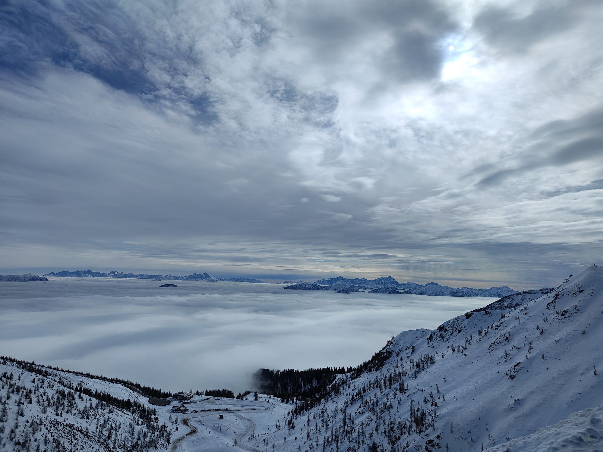
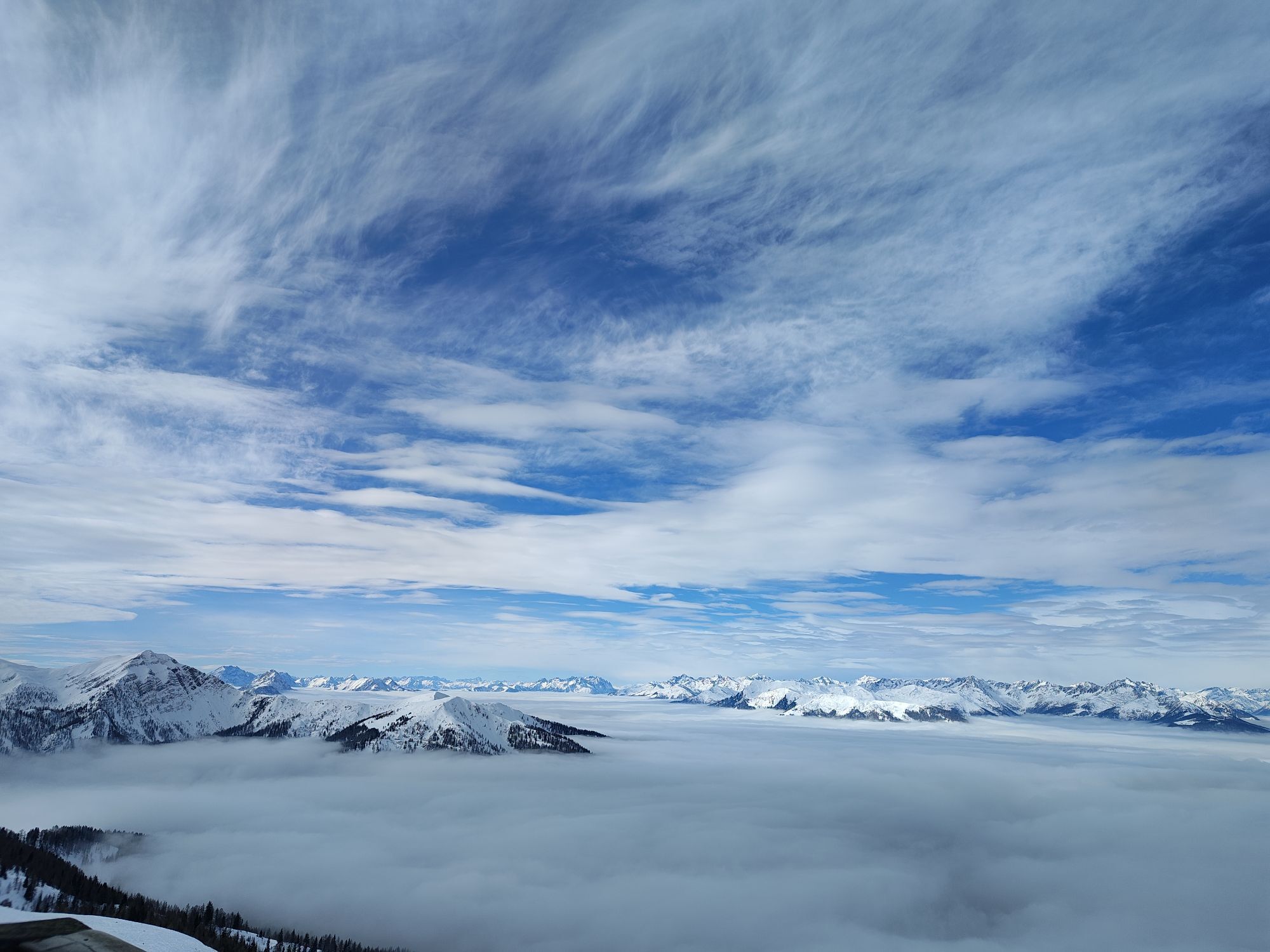
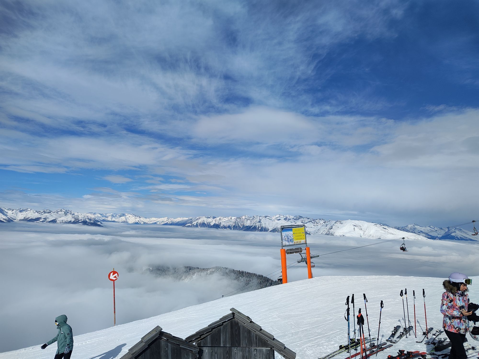
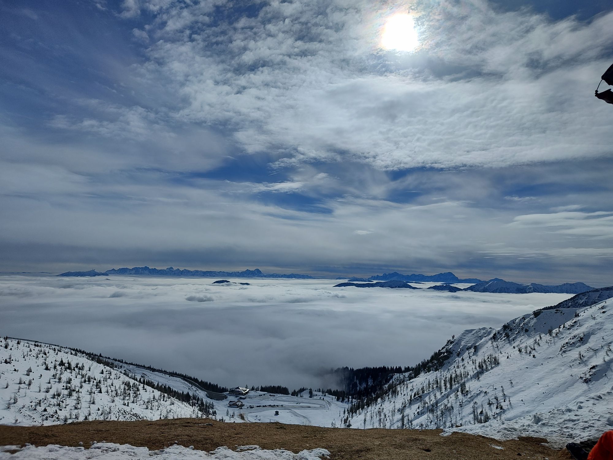
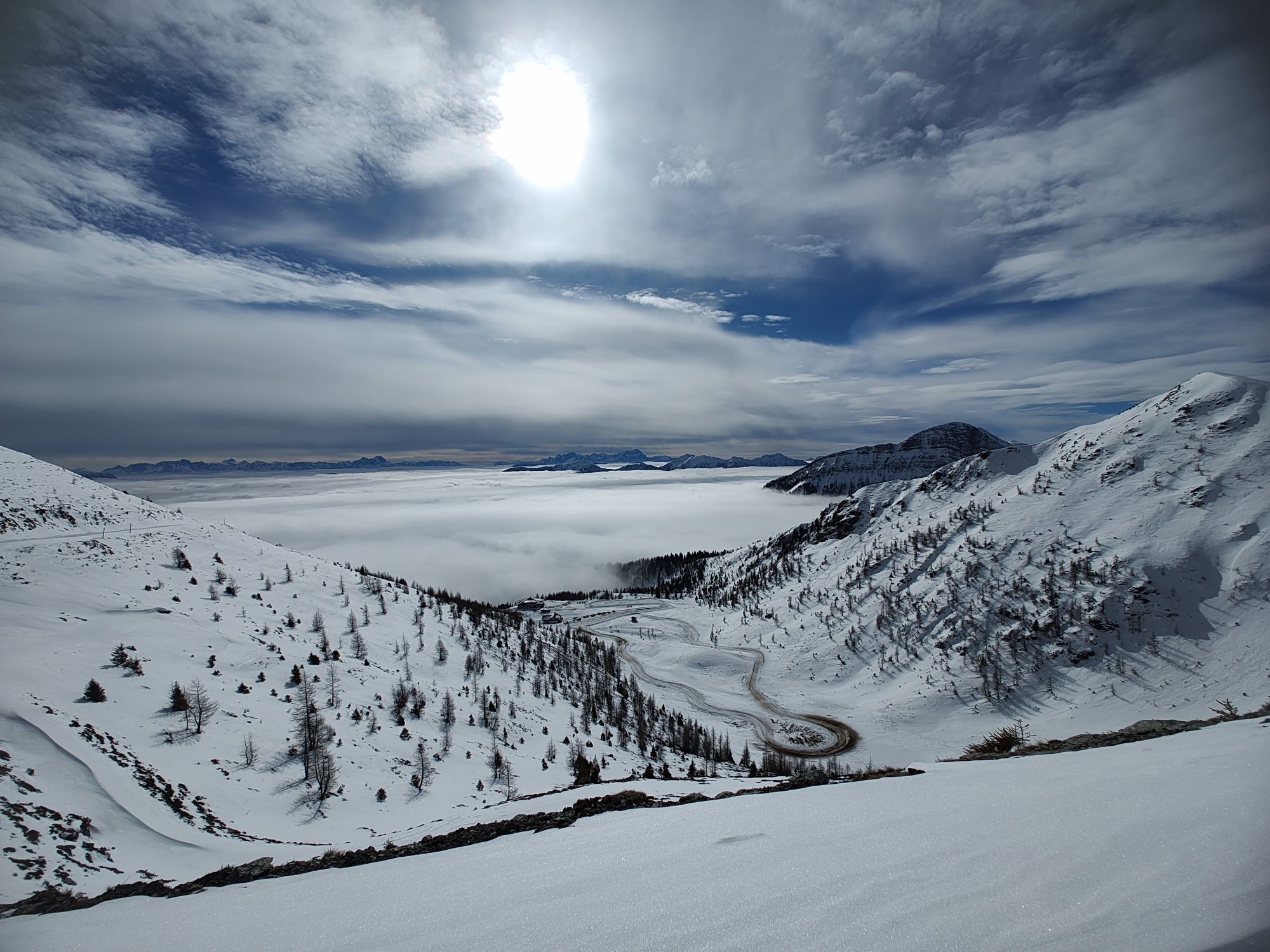
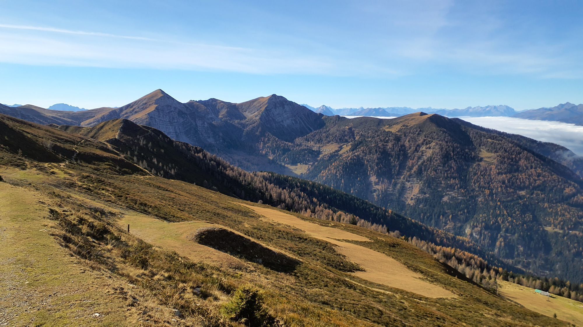
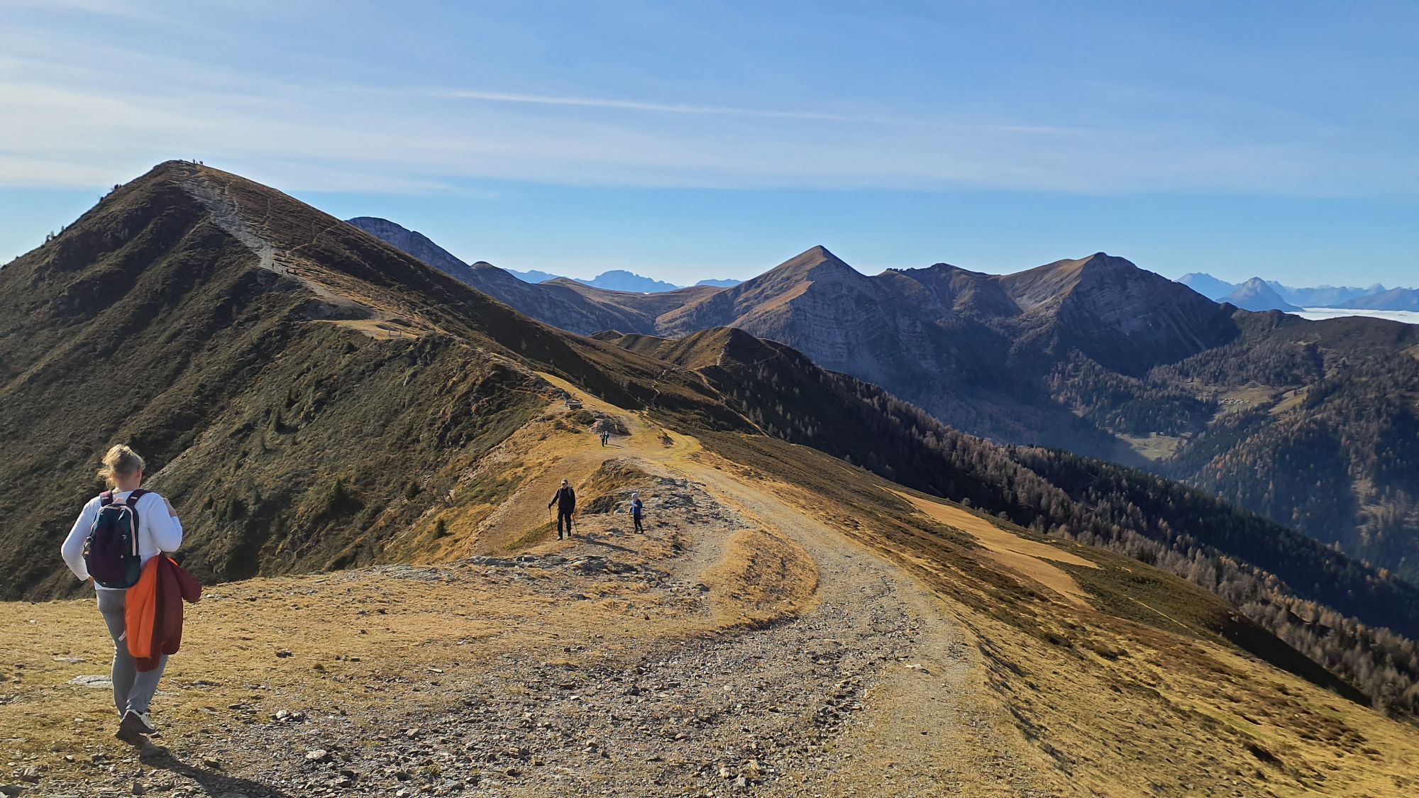
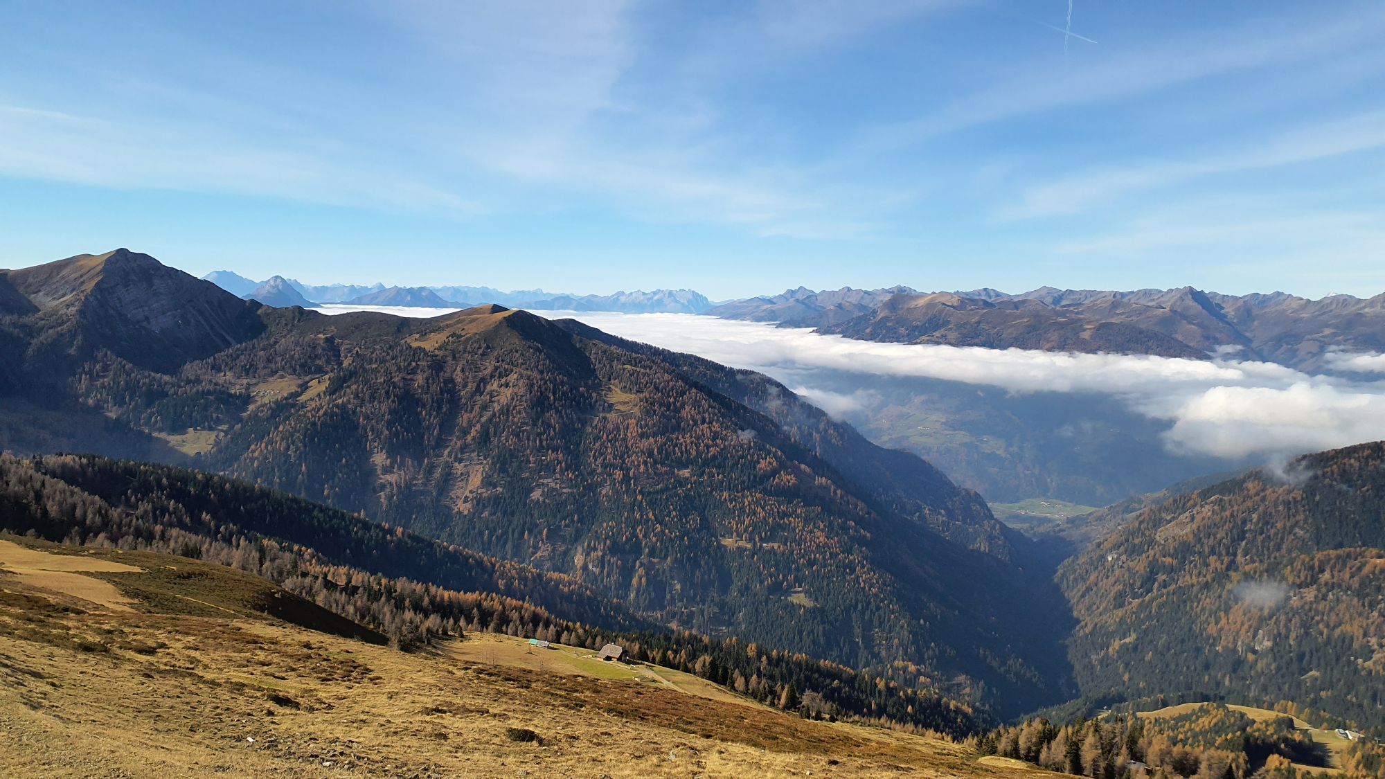
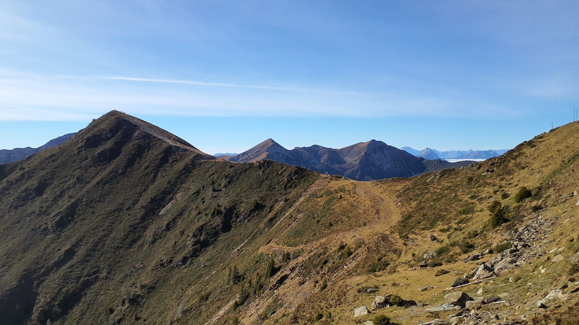
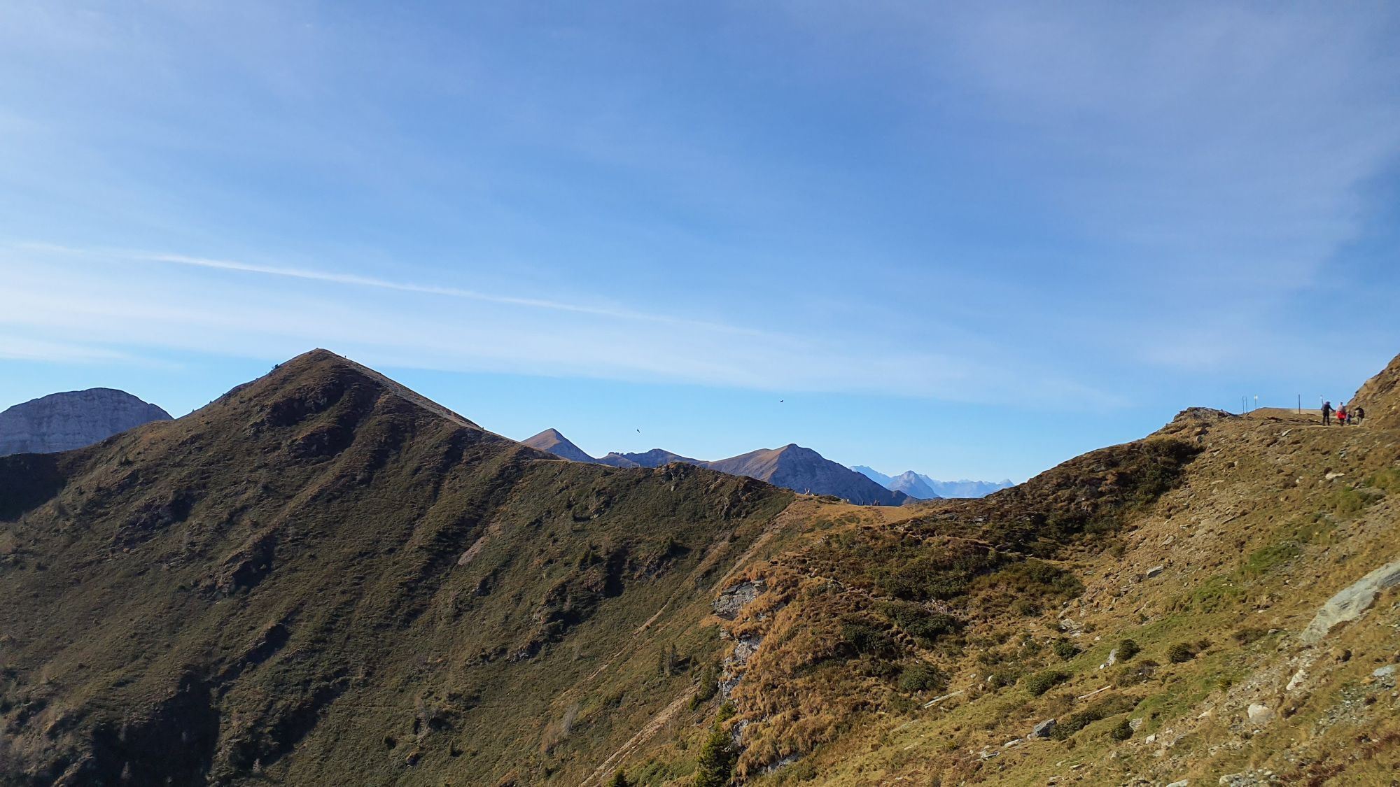
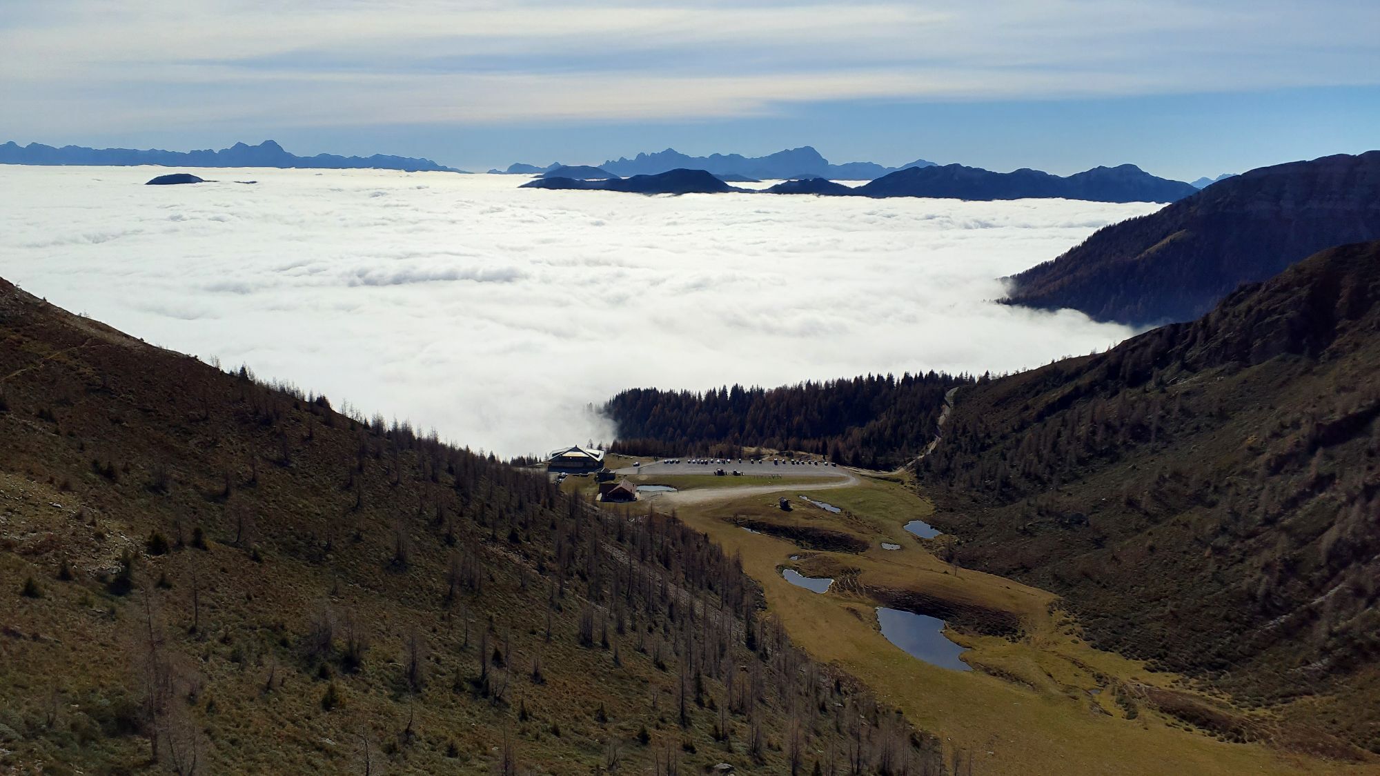
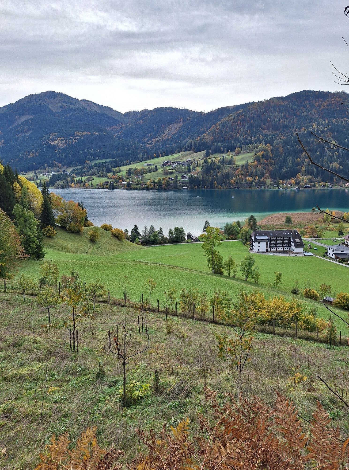
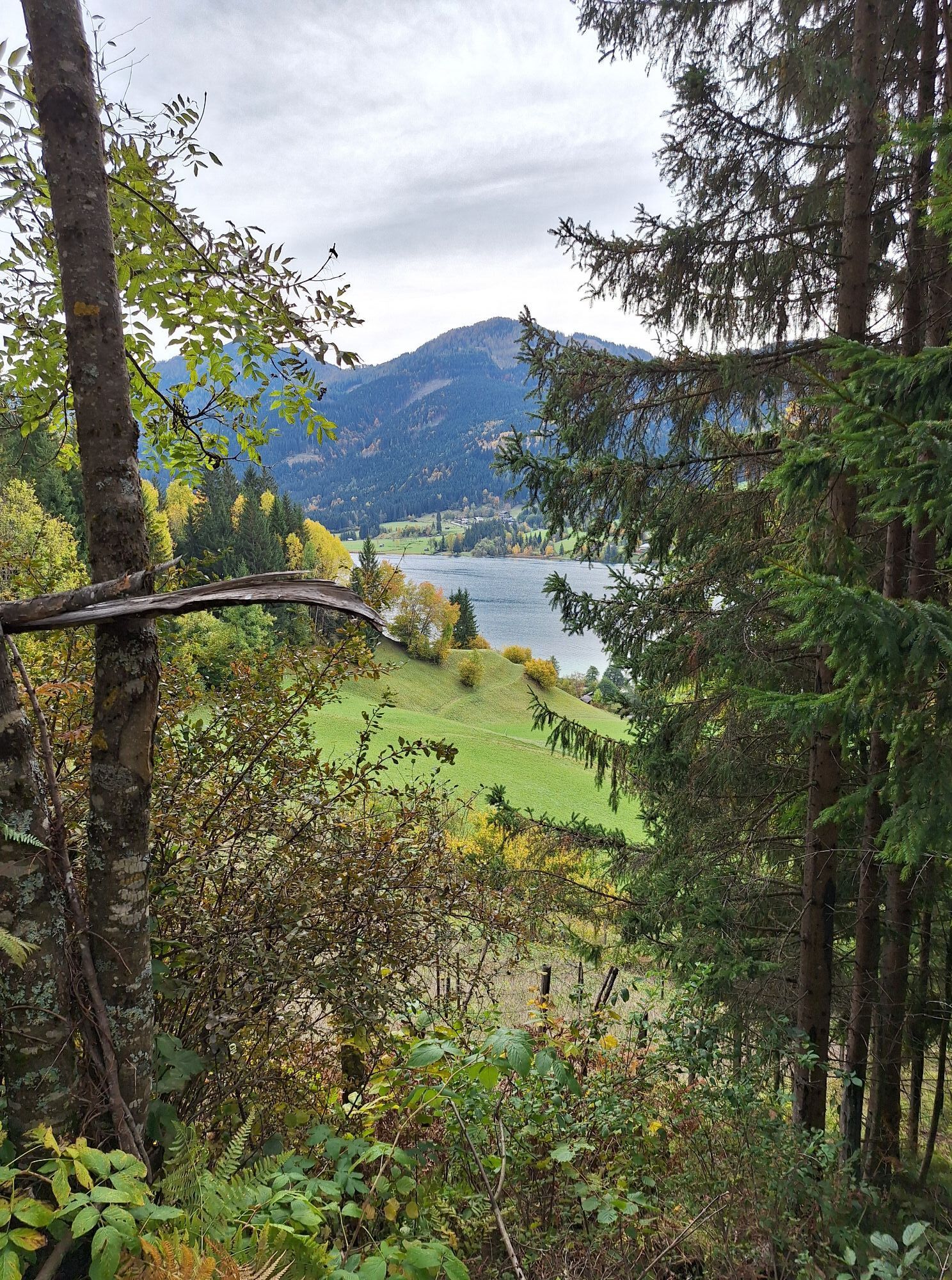
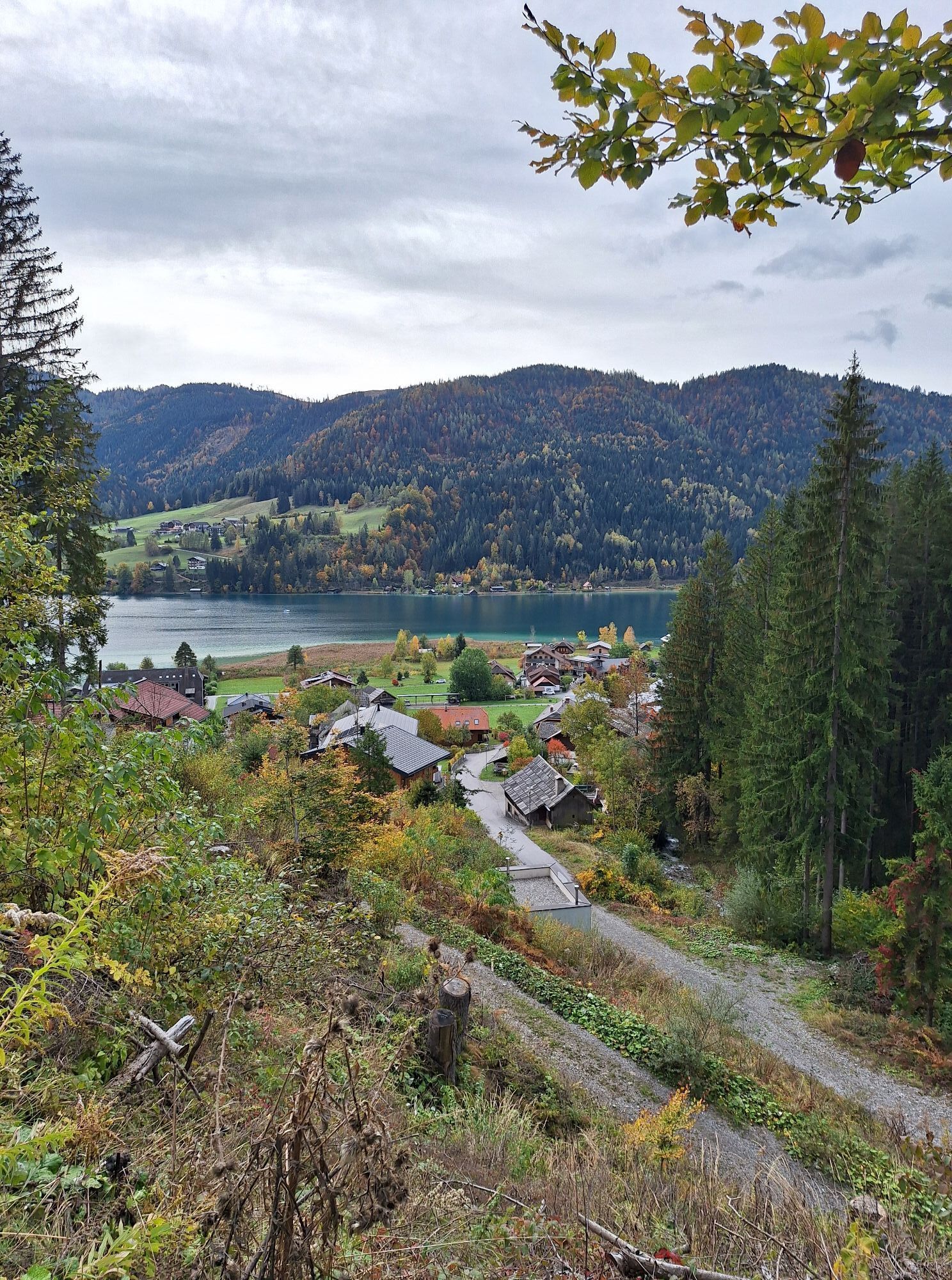
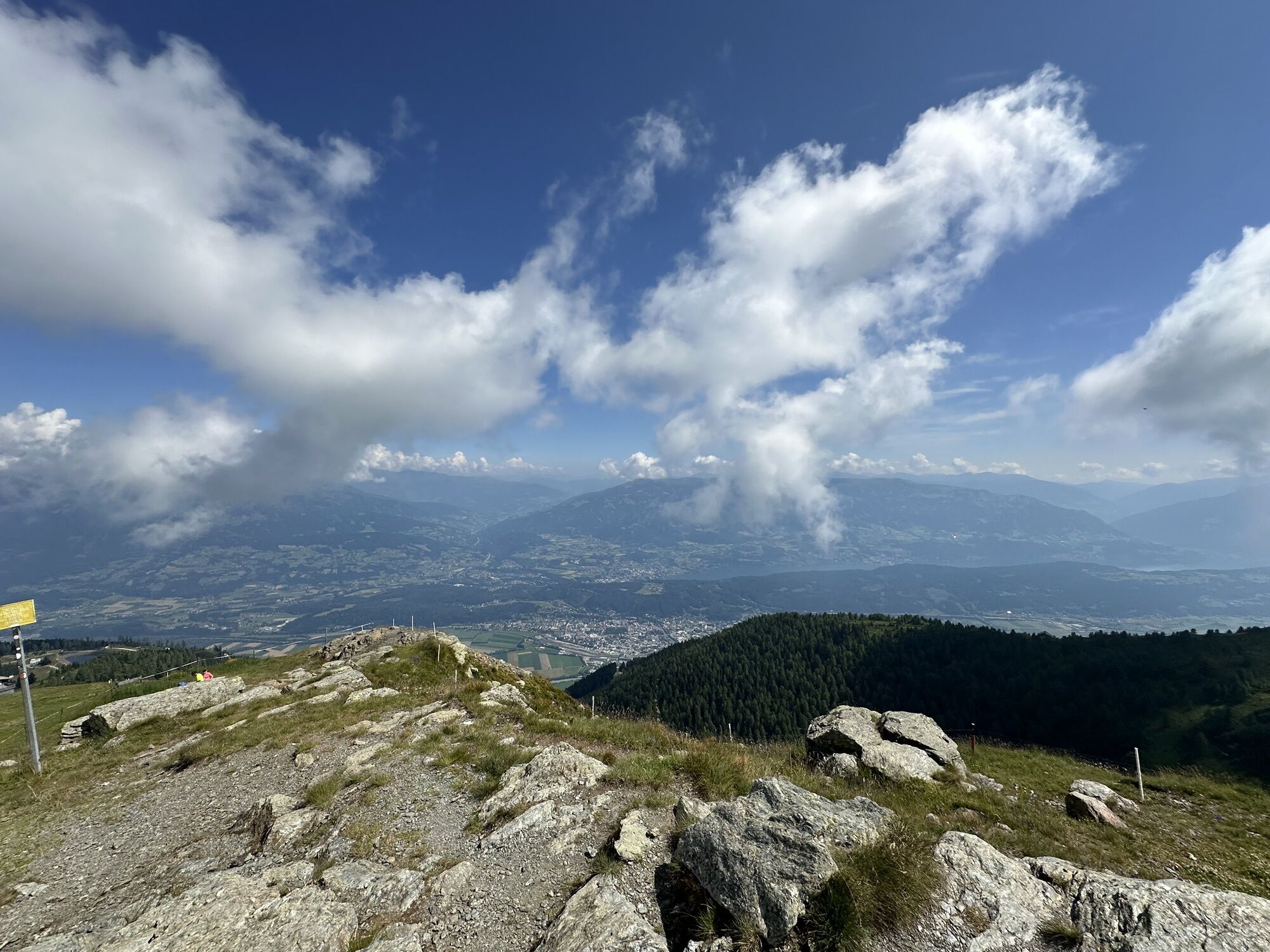
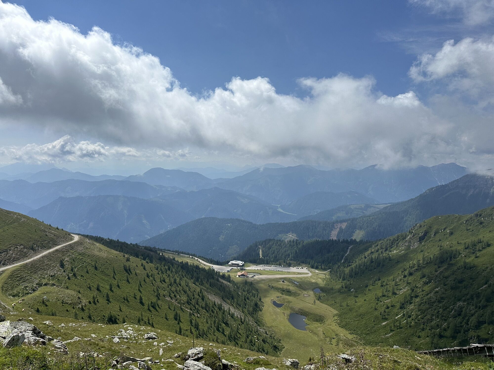
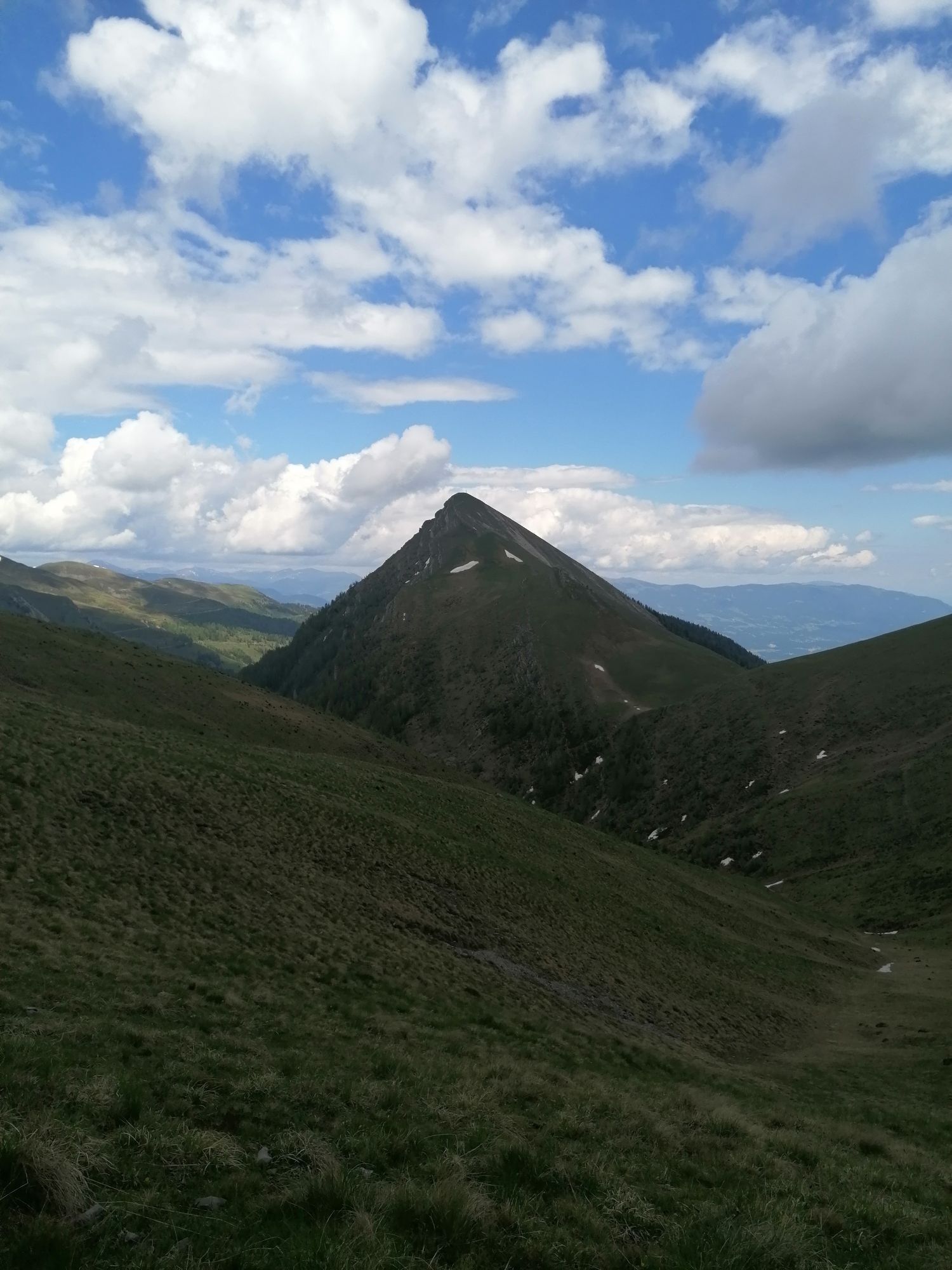
A long-distance hike with magnificent views of the Drau Valley, Möll Valley, and Weissensee. A great mountain panorama awaits you. After the ascent with the gondola, continue on foot via the "Rupertiweg" to Weissensee.
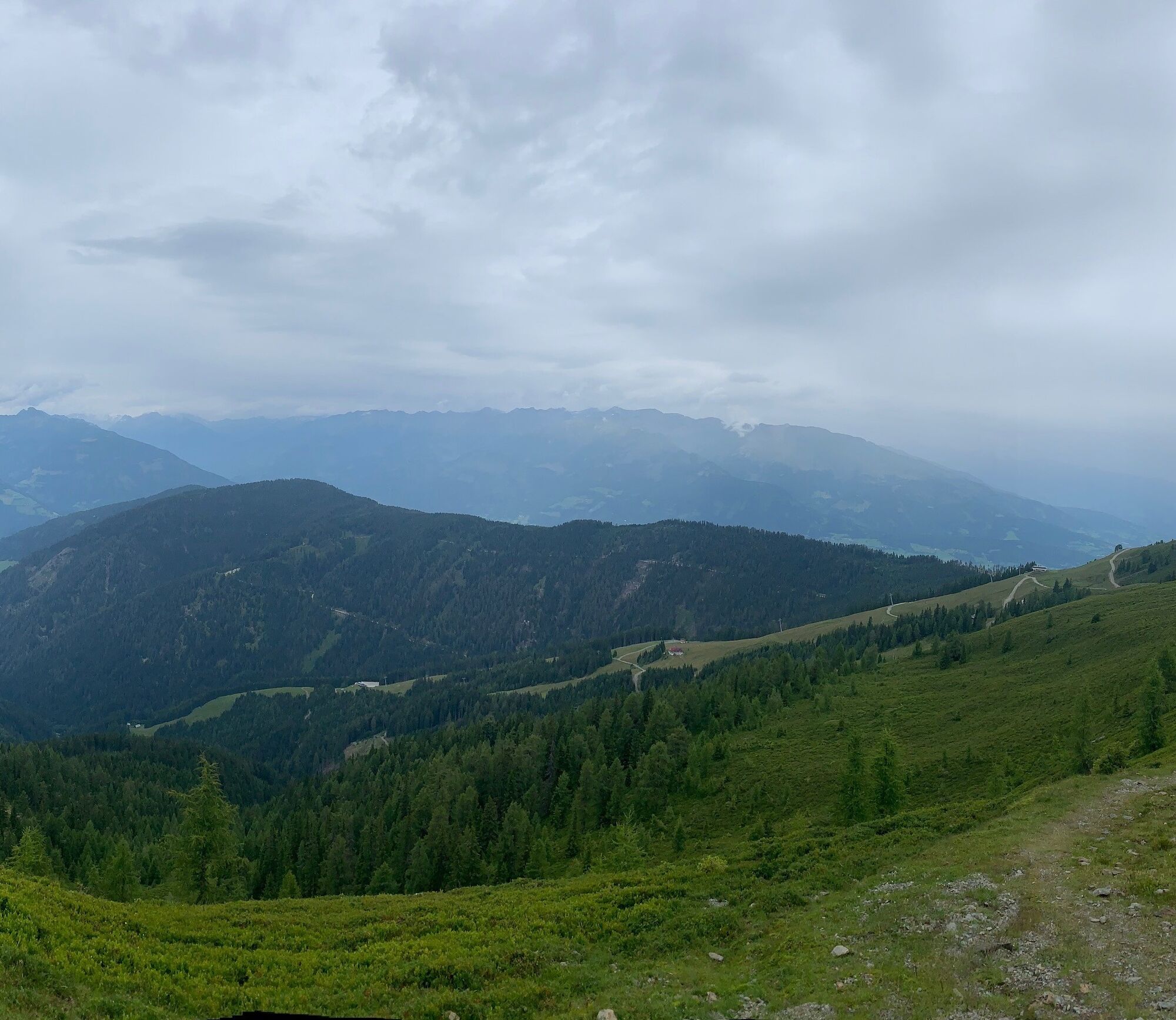
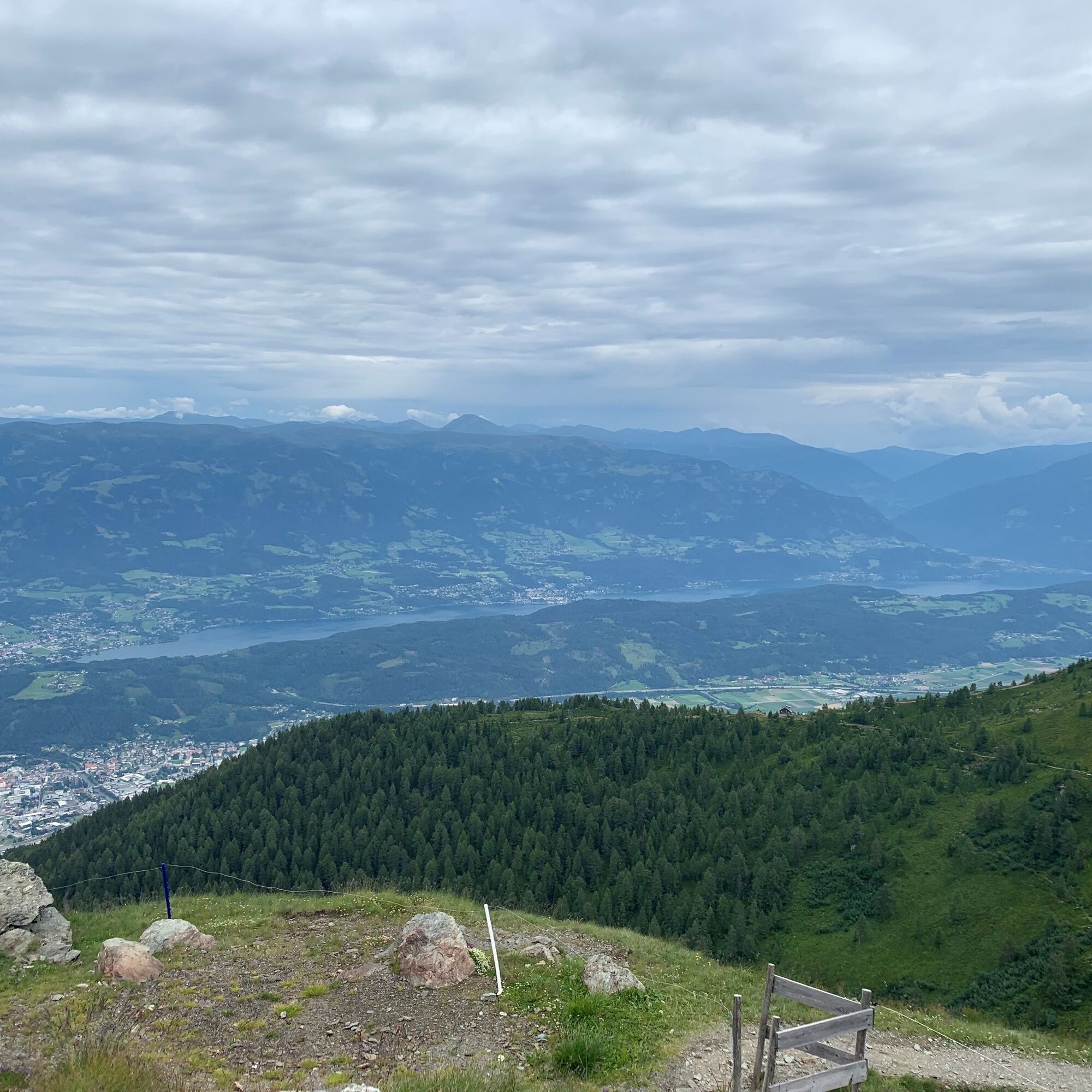

This route starts at the Goldeck cable car in Baldramsdorf.
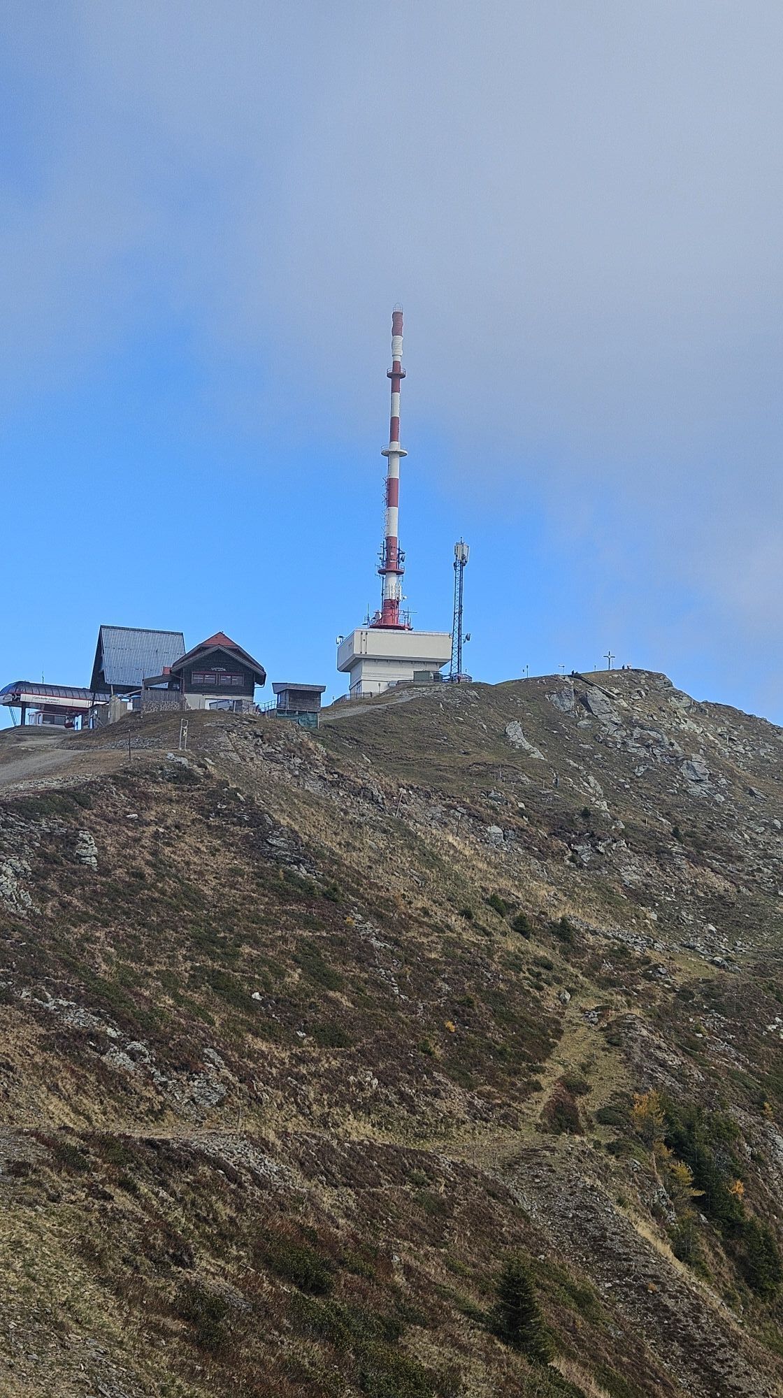
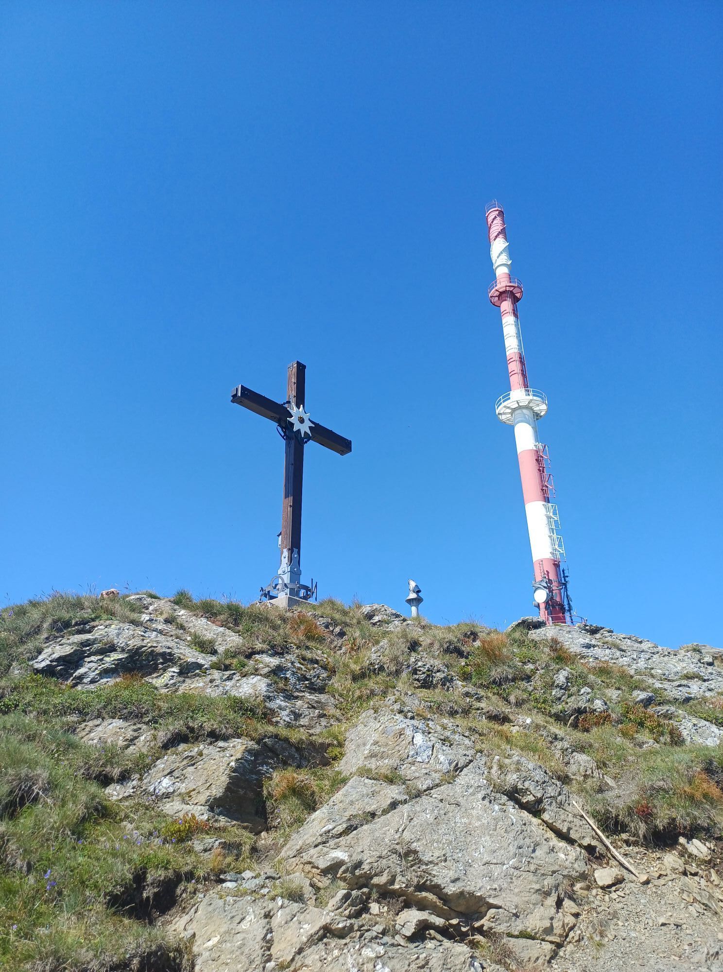
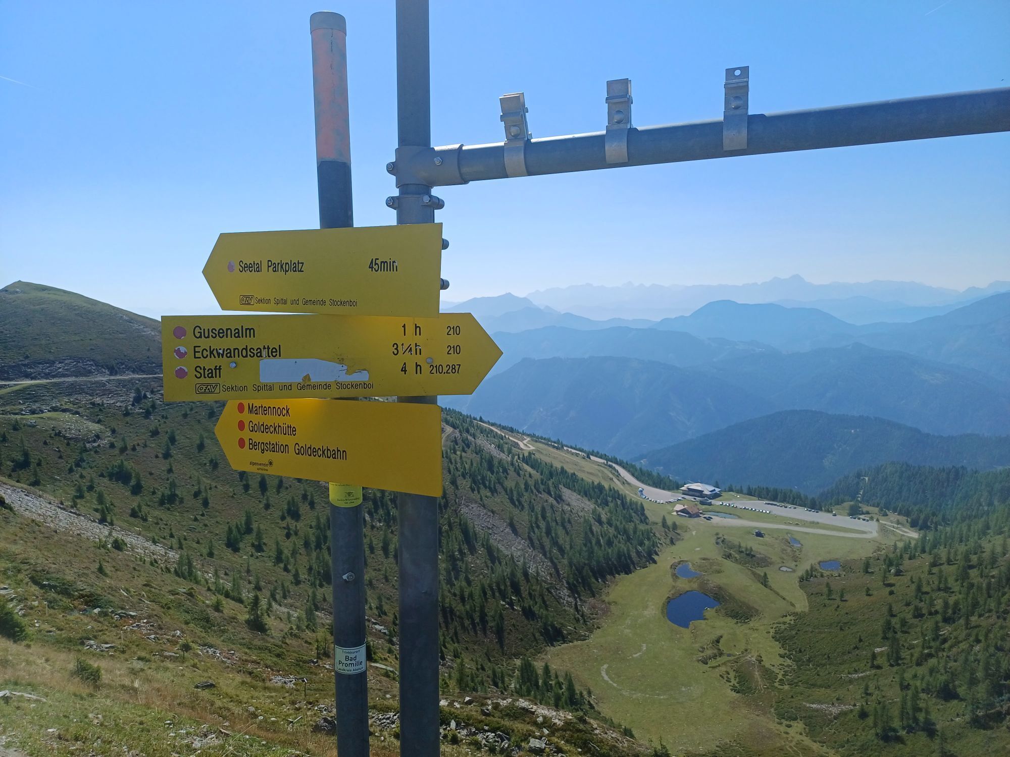
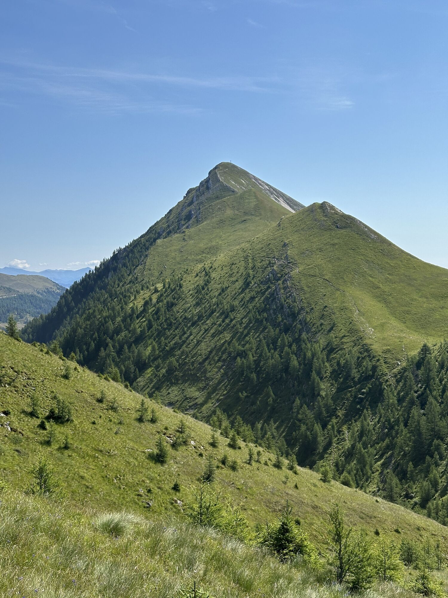
You take the gondola to the middle station of the Goldeck cable car, located at an altitude of 1,780 m. From here, hike uphill to the summit, from where you follow the southwestern ridge over the Seetalernock and continue descending over the Gusenalm to the Gusenscharte. From there, turn right and pass under the northern cliffs of the Staff (red Grödig sandstone) into a small valley. In about 25 minutes, you will reach a fork where you take the western leading path to the right, leading to the flat Eckwandsattel. The narrow trail passes south of Eckwand descending to the Stosia in the alpine area of the Techendorfer Alm.
From the Stosia, continue right westwards over the Peloschen to the Zihagas. Here, turn left onto the partly steep downhill hiking trail to Weissensee. East of Neusach, you meet the northern forest path which you follow westwards to Techendorf.
Trail numbers: E 10, 9, 1
Walking time: approx. 8 hours
Difficulty: hard
Refreshment options:
Techendorfer Alm, Latschur area.
Ronacher’s inn, Weissensee east shore.
Dolomitenblick, boat landing at Weissensee east shore.
Áno
Bring good, broken-in shoes, snacks, and a backpack with enough drinks. Don't forget sun and rain protection.
Do not underestimate the walking time. Route is for experienced hikers.
From the north (D, NL, B, L, DK, SK): 1) Munich - Salzburg - Tauern motorway (A10) - Spittal junction - Baldramsdorf
2) Munich - Salzburg - Badgastein (train loading - Tauern lock) - Mallnitz - Lendorf - Baldramsdorf
3) Munich - Grossglockner High Alpine Road - Heiligenblut - Winklern - Iselsberg - Oberdrauburg - Greifenburg - Lendorf - Baldramsdorf
4) Munich - Mittersill - Felbertauern road - Lienz - Oberdrauburg - Greifenburg - Lendorf - Baldramsdorf
From the west (CH, F, I): Innsbruck - Mittersill - Felbertauern road or Brenner motorway - Lienz - Oberdrauburg - Greifenburg - Lendorf - Baldramsdorf
From the east (A, H): 1) Southern motorway (A2) - Villach - Spittal - Baldramsdorf
From the south (I, SLO, HR): 1) Udine - Tarvisio - exit Hermagor/Gailtal - Villach - Spittal - Baldramsdorf
Train timetable information can be found at: Timetables
Valley station of the Goldeck cable car in Baldramsdorf.
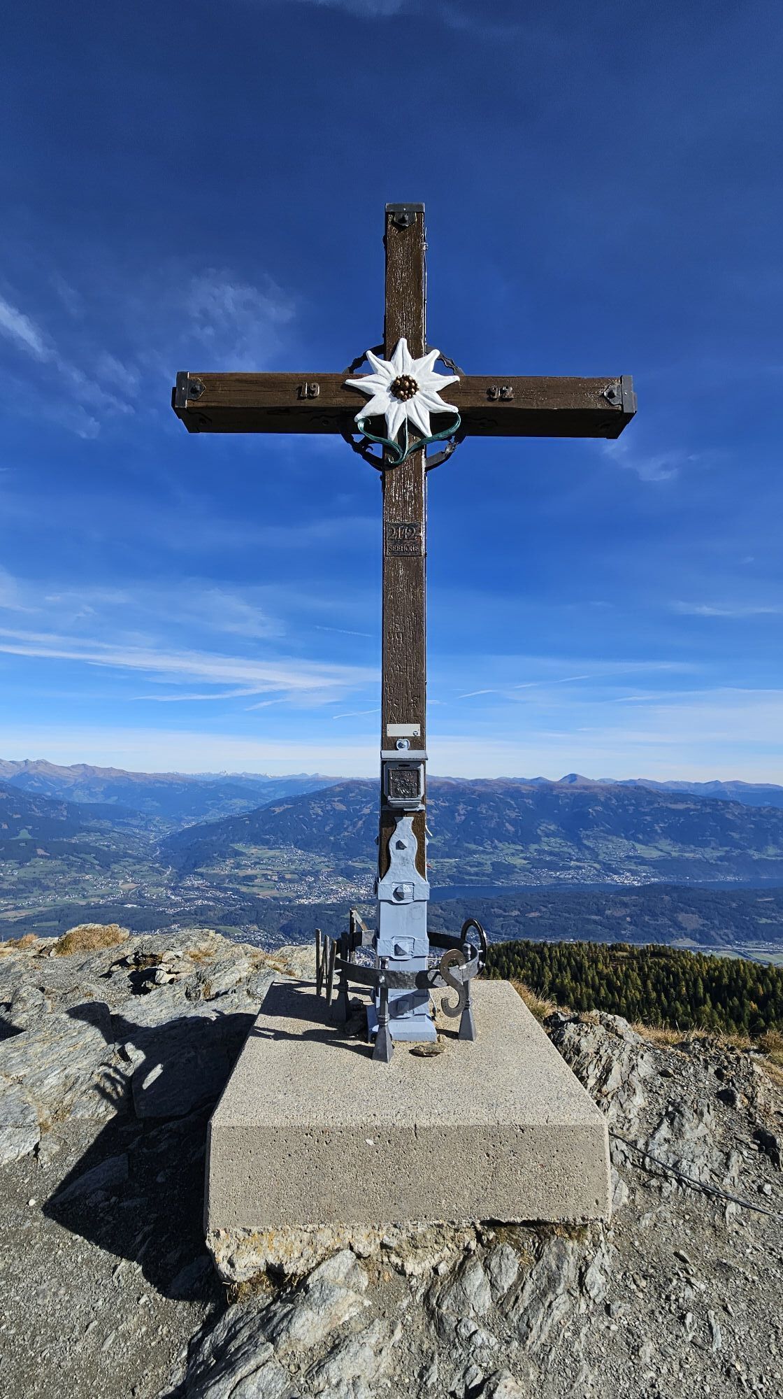
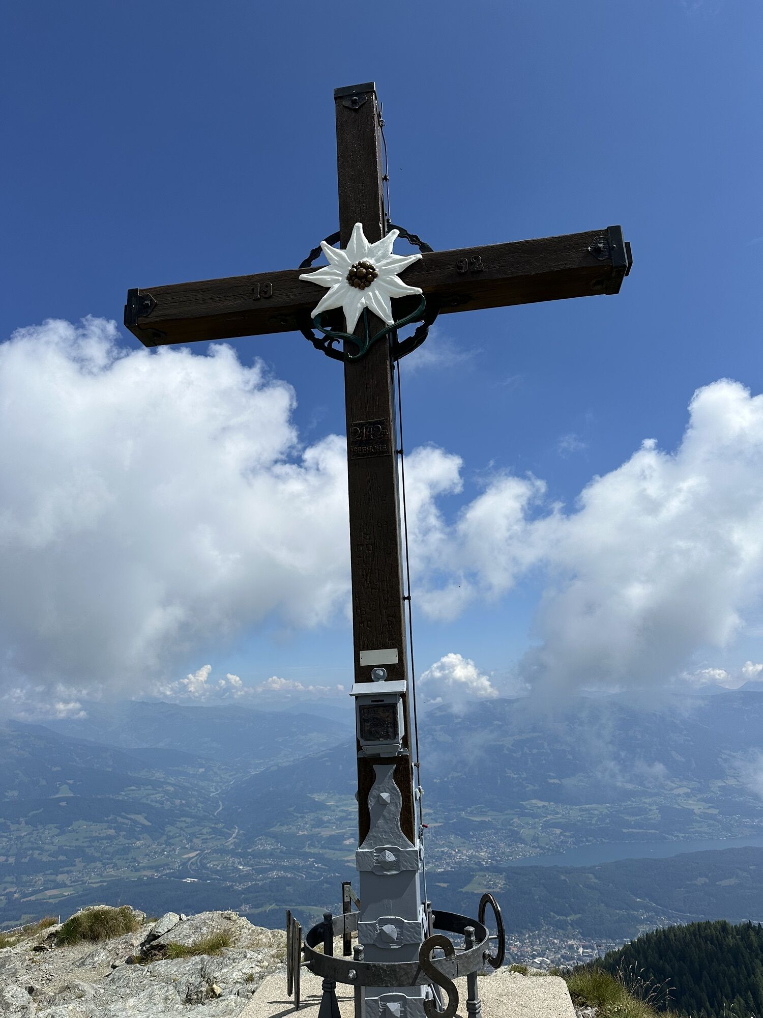
Take your time at the mountain summit to admire the beautiful mountain panorama.
Získajte prehľad
Vždy naživo na mieste s viac ako 9 500 webovými kamerami. bergfex Ako používateľ Pro si teraz môžete pozrieť príslušné webové kamery pre mnohé zájazdy v aplikácii zájazdy z. Môžete si tak priamo prezerať aktuálne podmienky.
Obľúbené výlety v okolí
-
4,9
W10 - Large lake round - Weissensee
ťažkéMountainbike 31,5 km -
4,8
RW_N9 Weißenbachklamm
strednáTuristika 7,49 km -
4,8
Parkplatz Seetal - STAFF und retour
strednáTuristika 13,2 km -
4,9
Weissensee Ost- nach Westufer
svetloTuristika 10,2 km -
4,6
W5 - Naggler Alm Round Weissensee
strednáMountainbike 15,8 km -
5,0
Bodenalm - Ostufer - mit dem Schiff zurück
Mountainbike 19,1 km -
4,9
Weißenbachklamm
ťažkéTuristika 5,80 km -
4,2
Slow Trail Pressegger See RW_N16
svetloTuristika 5,78 km -
4,5
WY_W2 hike to the Alm behind the Brunn
strednáZimná turistika 3,04 km -
4,7
Tschekelnock
strednáTuristika 8,93 km
Turistika a stopovanie


Nenechajte si ujsť ponuky a inšpiráciu na ďalšiu dovolenku
Vaša e-mailová adresa bol pridaný do poštového zoznamu.





