







"Sunseit`n" - Runde
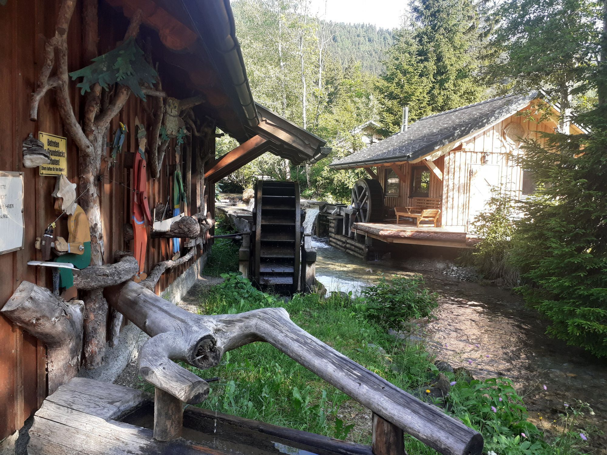
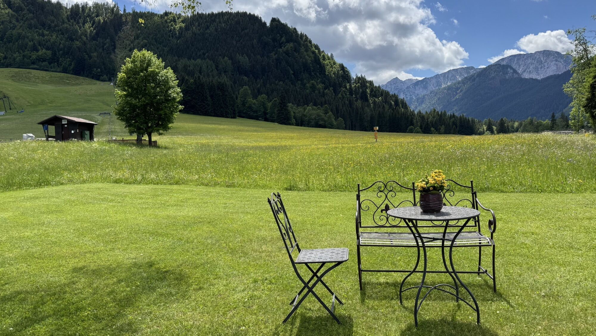
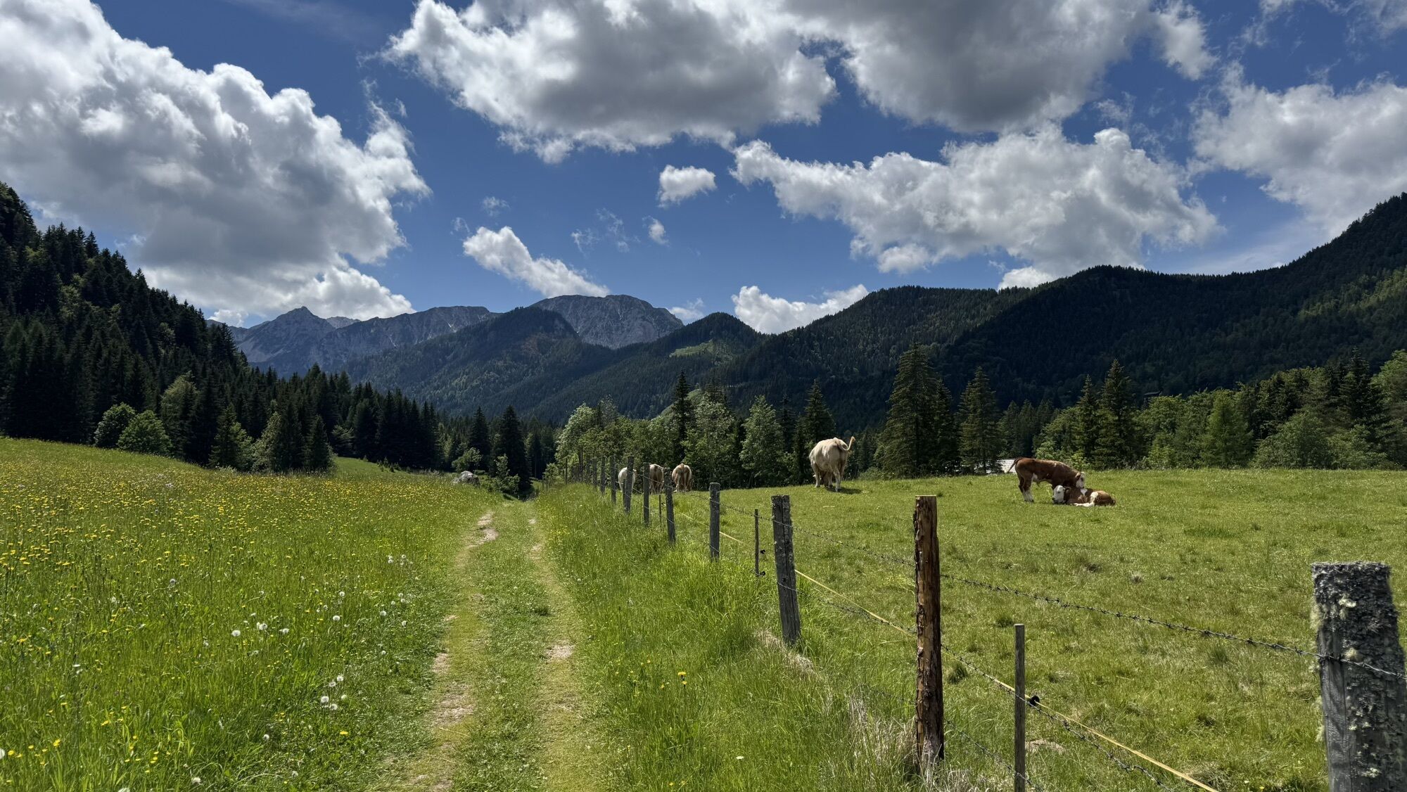
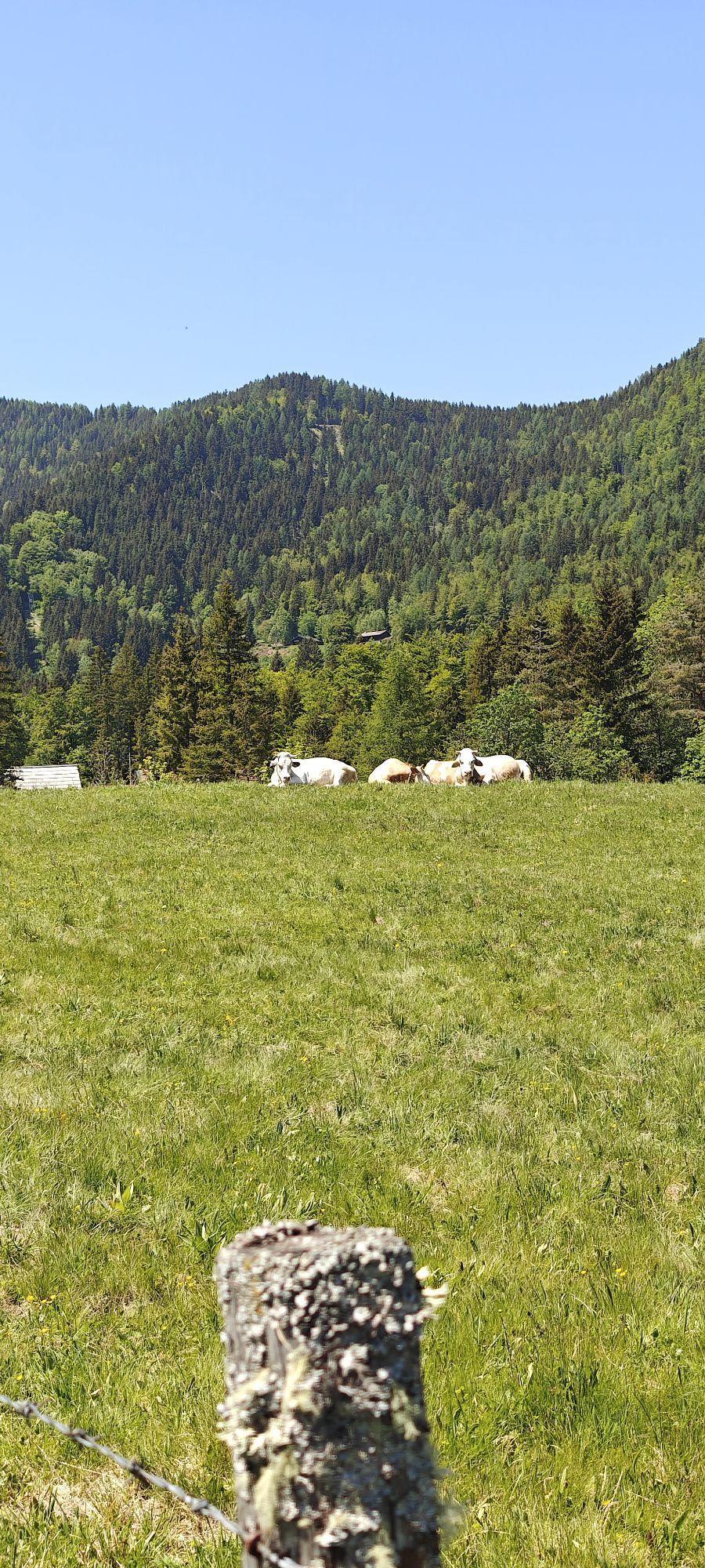
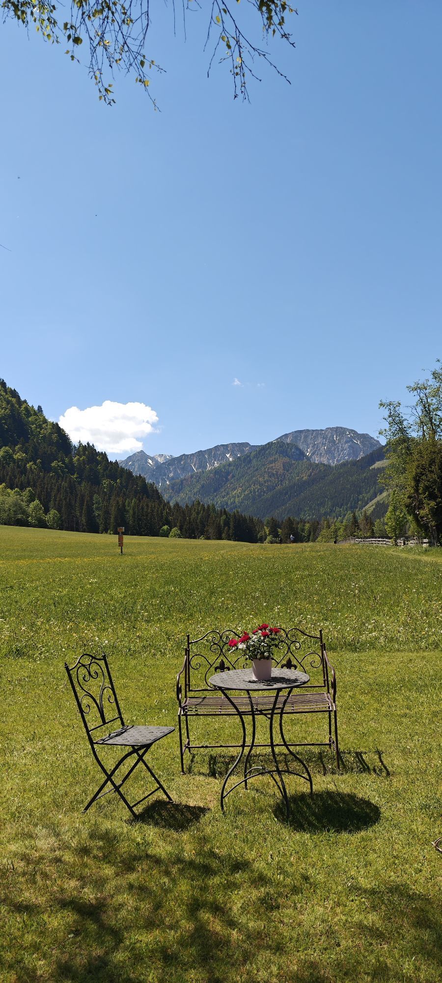
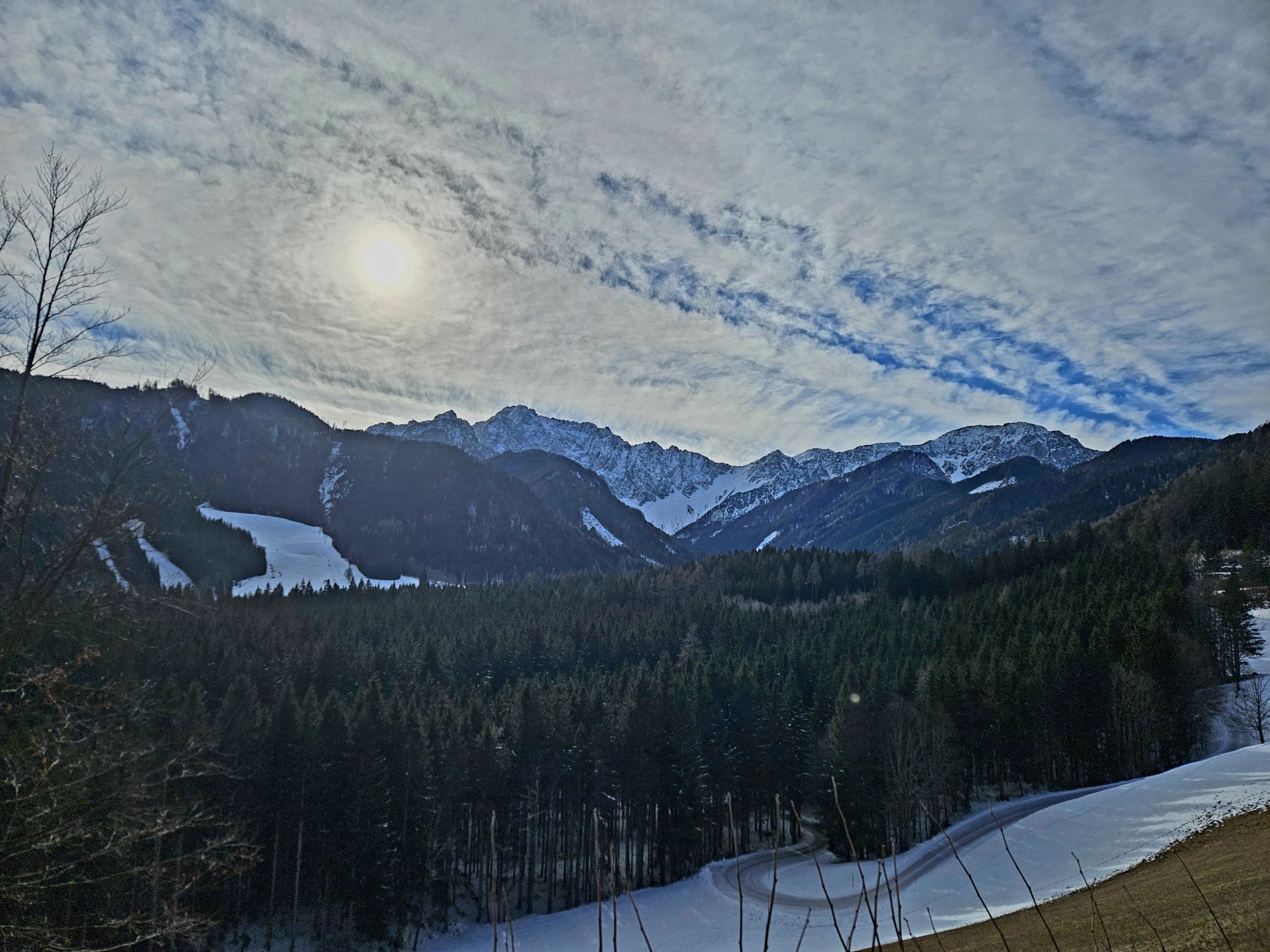
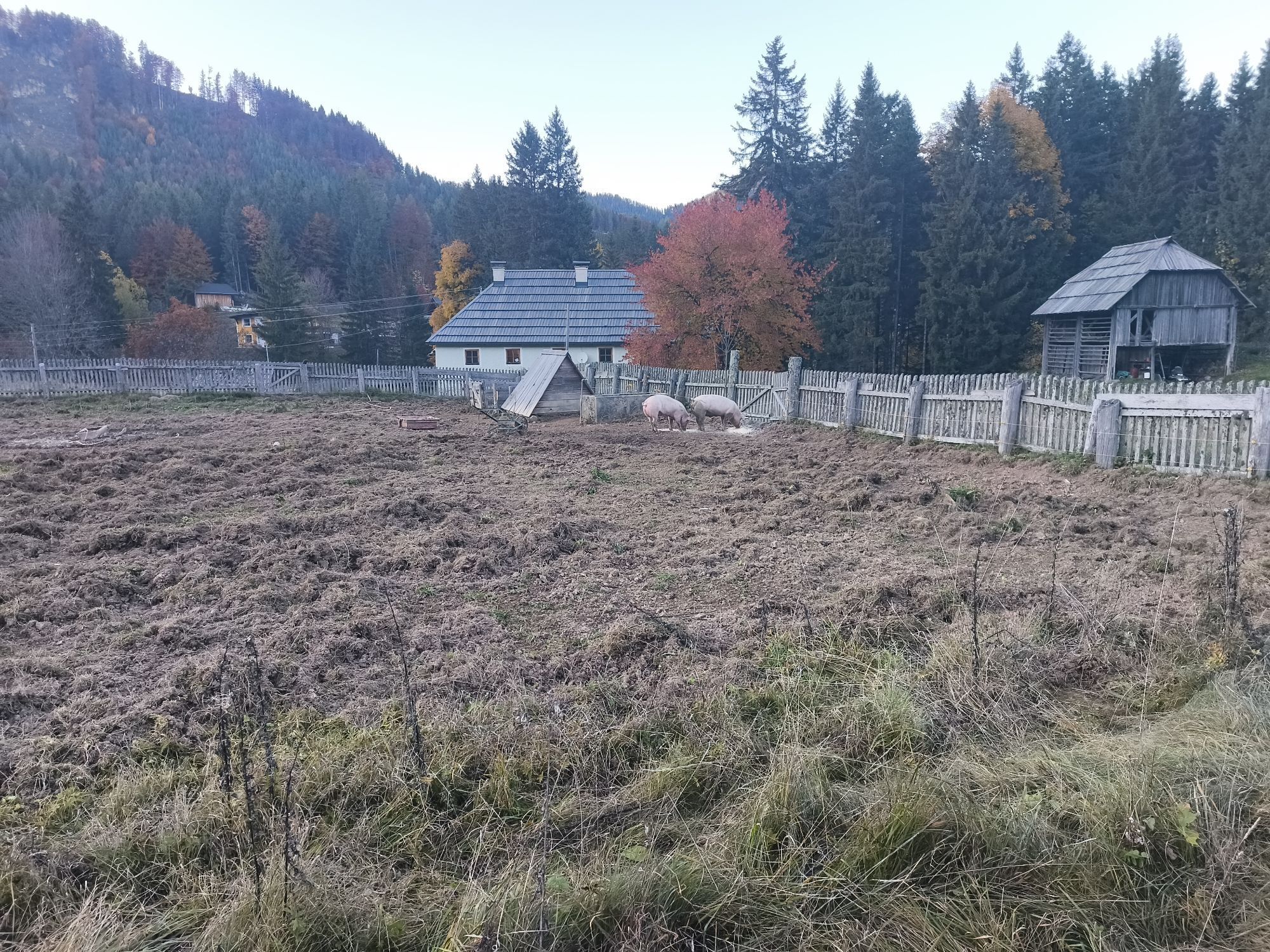

This hike leads from the Sereinig family farm on the sunny side of the Bodental valley past pretty farms, over colorful flower meadows and offers inspiring views of the peaks of the Karawanks.
Also suitable...
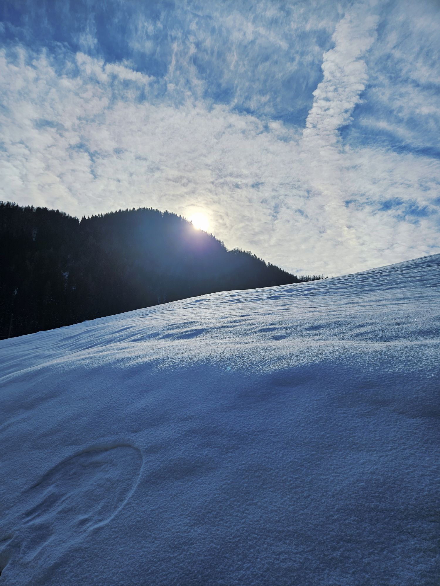
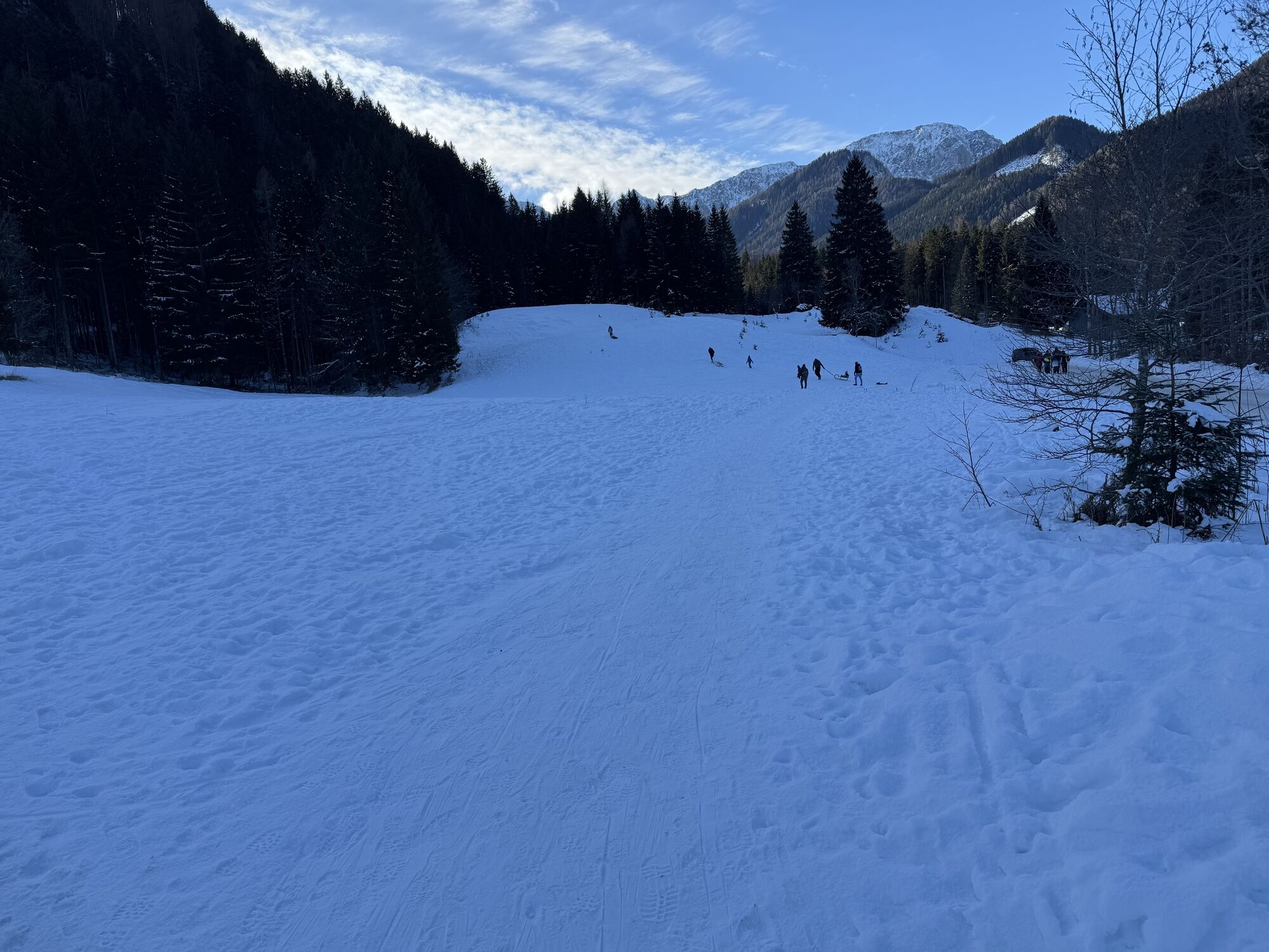
Also suitable as a winter hike!

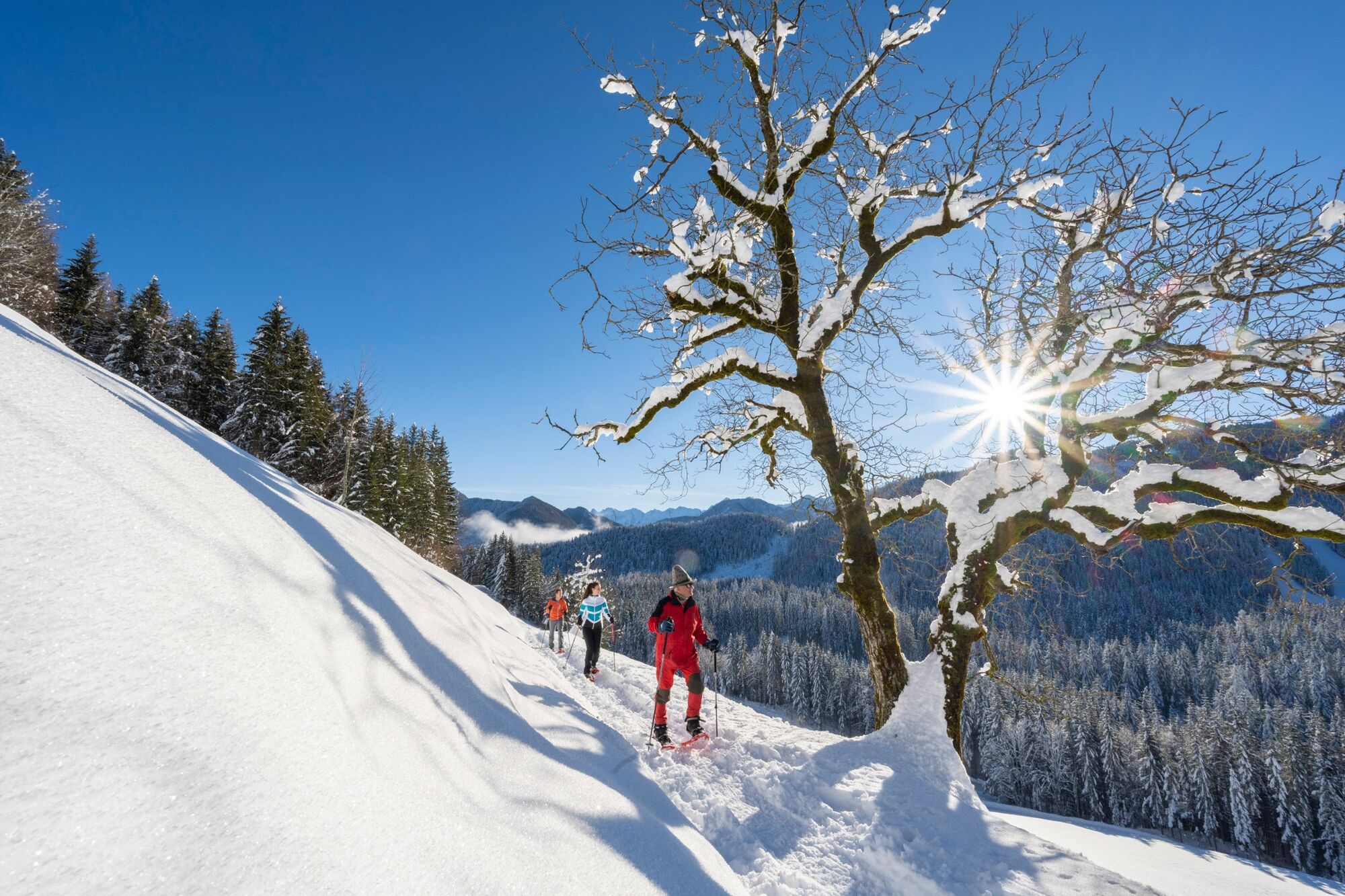
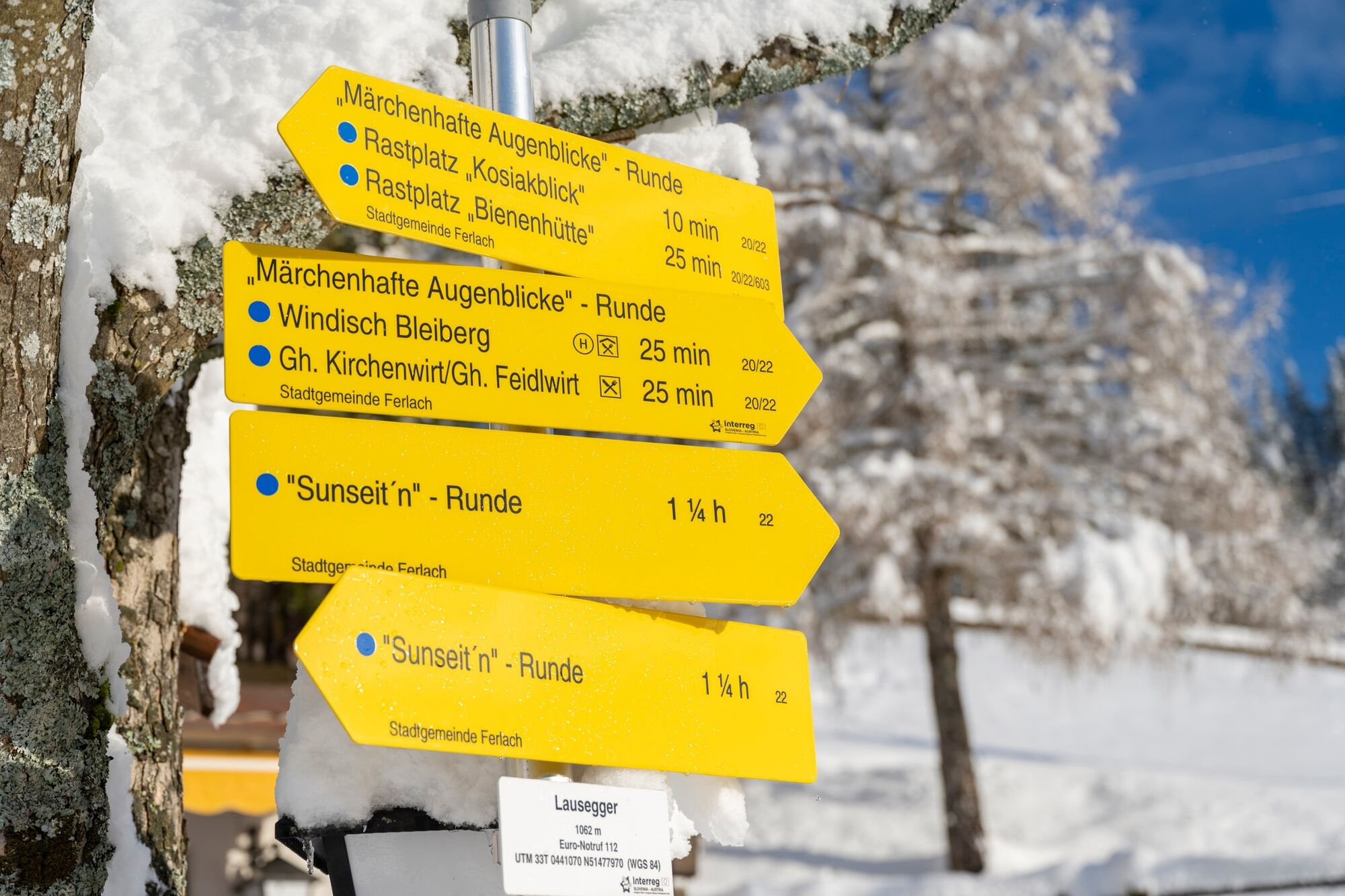
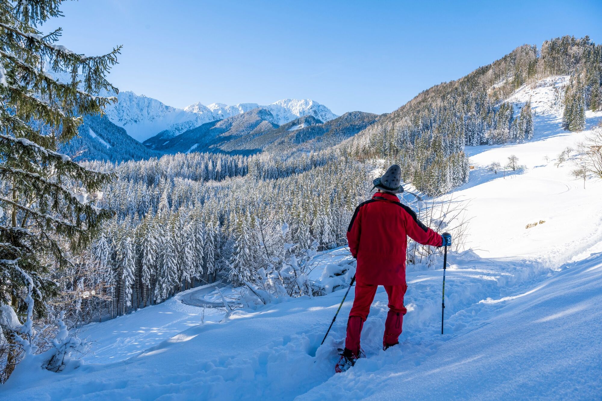
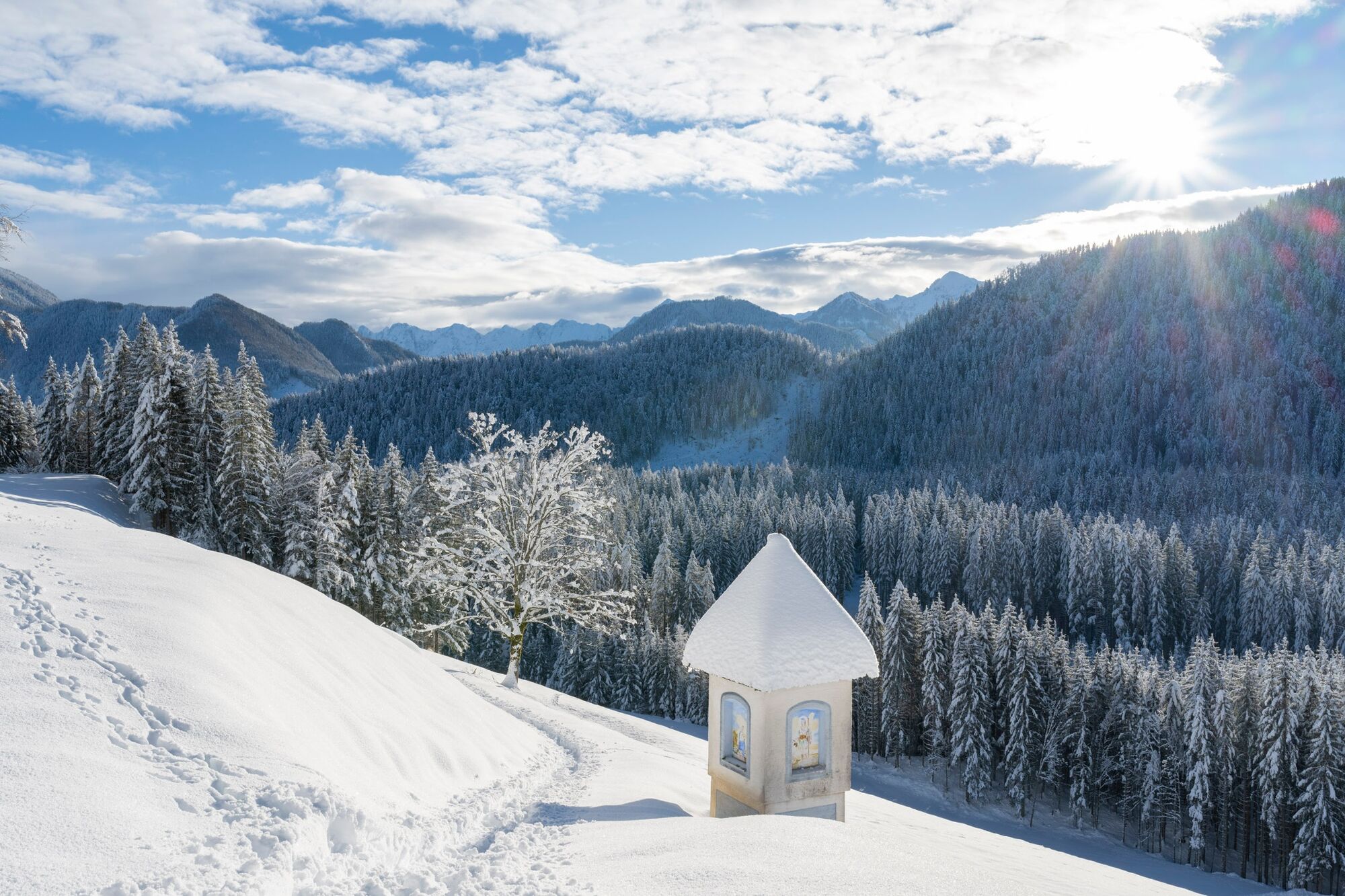
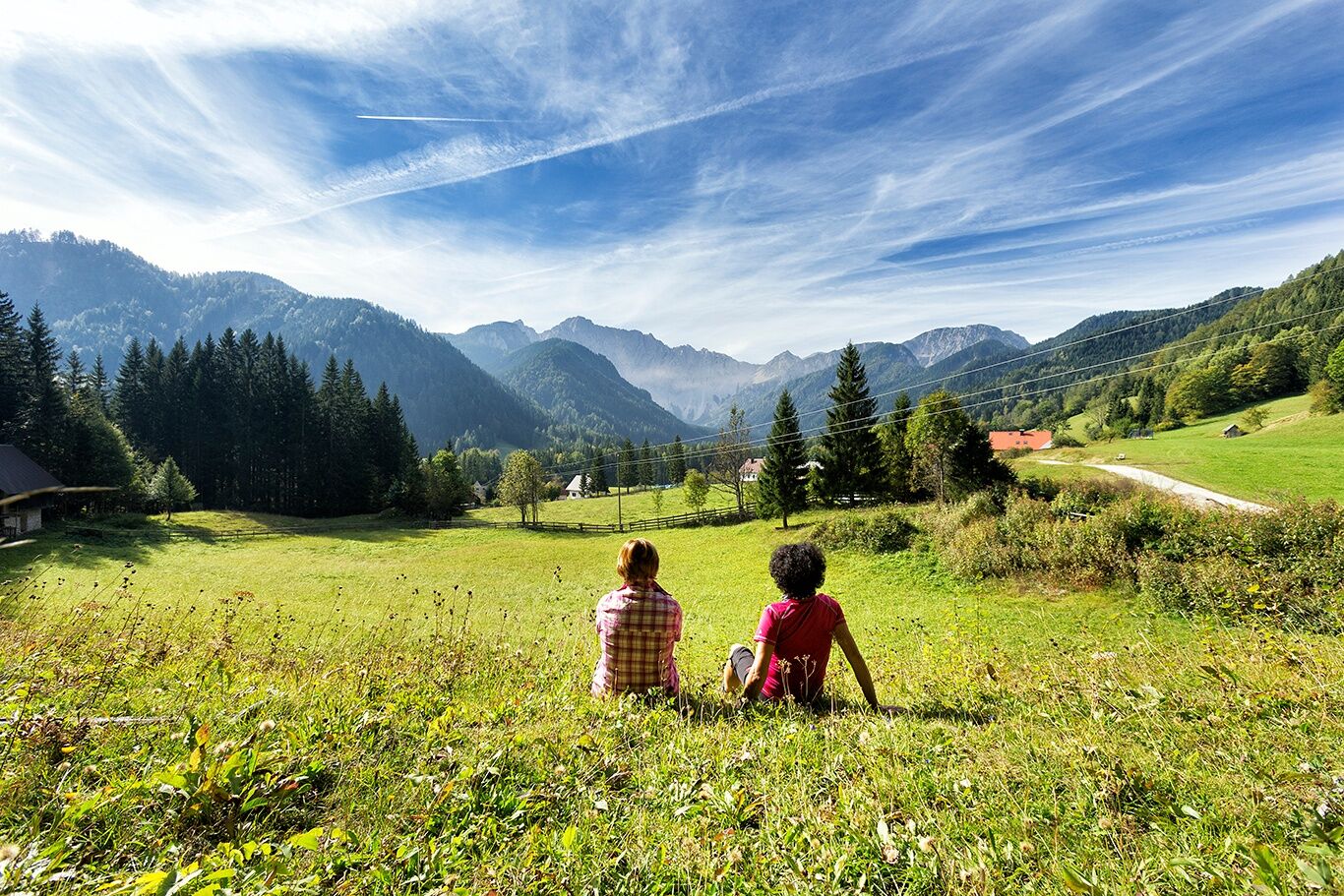
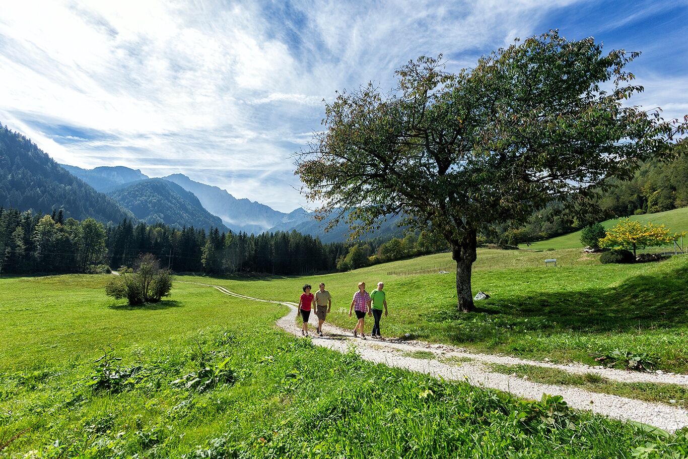
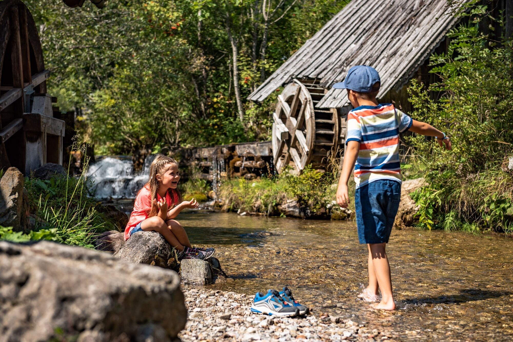
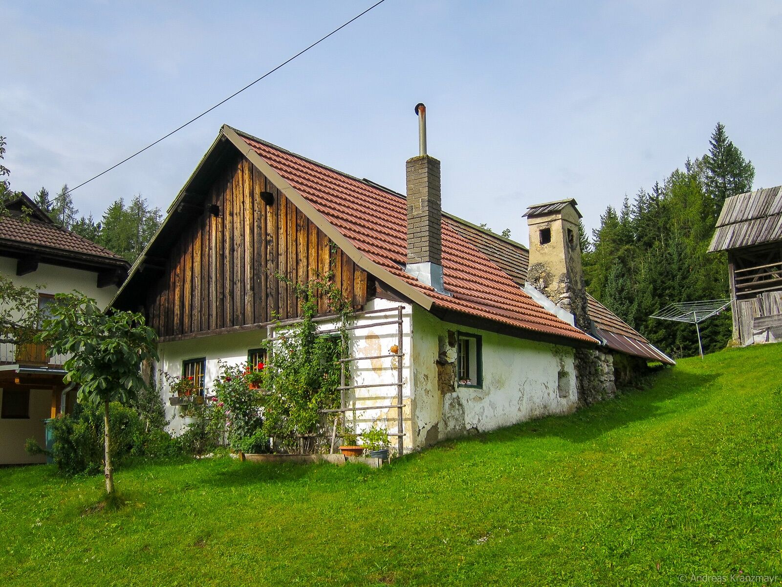
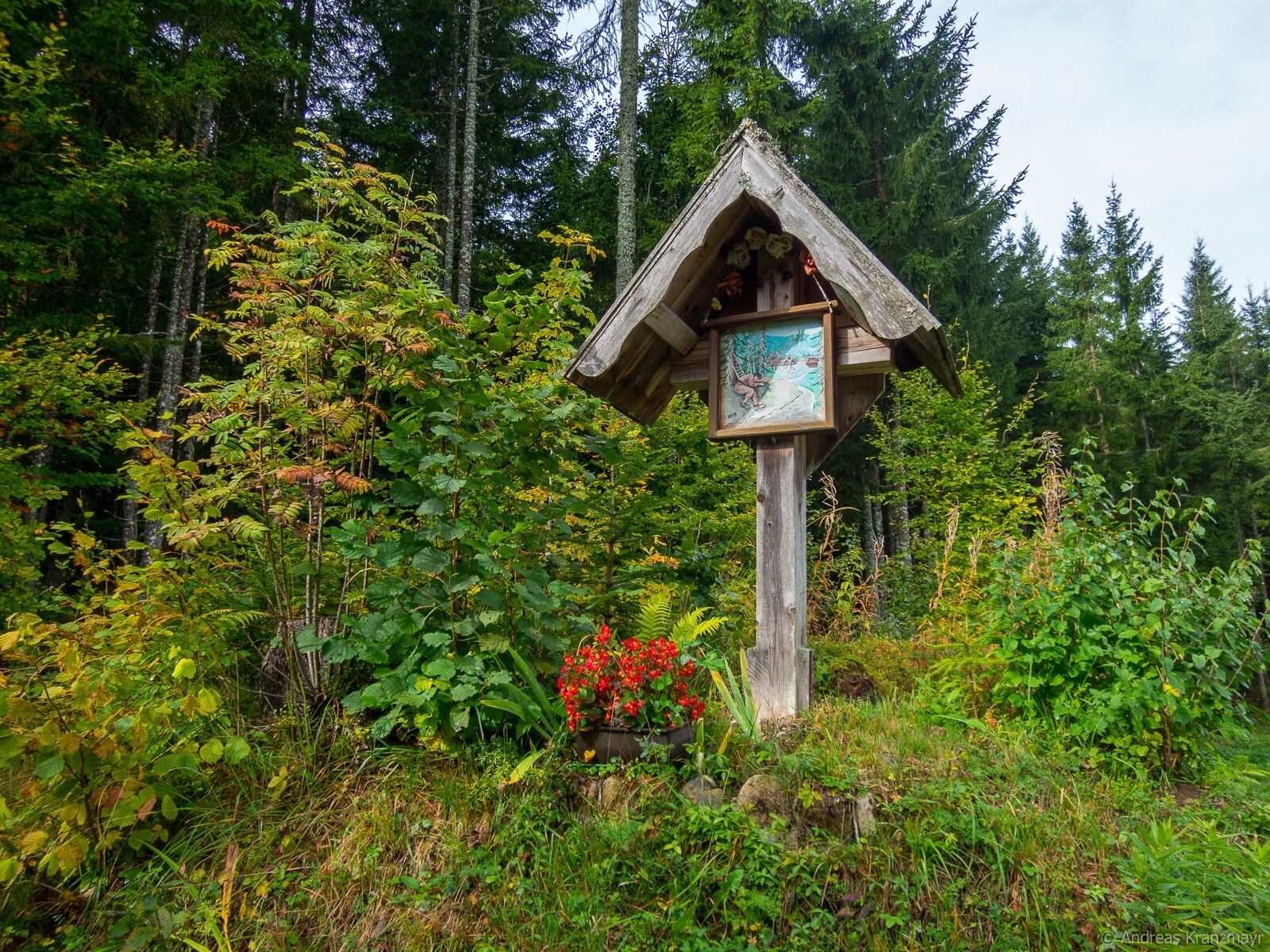

Starting from the “Kaufhaus Sereinig” rest area, hike about 450 m downstream and then cross the Bodenbach on the left over a bridge. A narrow path takes you to two small farms. Past the stable, across a gently rising meadow, where you briefly have a unique view of the peak of the Ferlacher Horn, the path leads into a high forest. You reach the main road at a wayside cross (wooden cross). After a short stretch on the road, the hiking trail climbs slightly southwards through the forest at a large shrine. After just 10 minutes, a magical view of the entire Bodental valley opens up with the two highest peaks of the Karawanks (the Hochstuhl 2237 m and the Vertatscha 2180 m). On organically managed mountain and flower meadows with botanical rarities, you reach the highest point of the hike, the “Lausegger” estate. From here the path descends slightly in a southwesterly direction and you pass the organic farm "Boschtehof" and the "Rausch" estate back to the valley floor. Passing the forest garden you return to the starting point.
Áno
Comfortable shoes with non-slip soles
On the Loiblpass federal road into the Bodental to the Sereinig family farm
Regular bus transfer from Weizelsdorf/Ferlach to Bodental
Familienhof Sereinig
Impressive views of the Karawanks mountain range, seasonal botanical features
 Získajte prehľad
Vždy naživo na mieste s viac ako 9 500 webovými kamerami. bergfex Ako používateľ Pro si teraz môžete pozrieť príslušné webové kamery pre mnohé zájazdy v aplikácii zájazdy z. Môžete si tak priamo prezerať aktuálne podmienky.
Získajte prehľad
Vždy naživo na mieste s viac ako 9 500 webovými kamerami. bergfex Ako používateľ Pro si teraz môžete pozrieť príslušné webové kamery pre mnohé zájazdy v aplikácii zájazdy z. Môžete si tak priamo prezerať aktuálne podmienky.
Obľúbené výlety v okolí
-
4,2
MTB-Tour zur Klagenfurter Hütte
strednáMountainbike 12,6 km -
3,9
Tscheppaschlucht Ferlach
svetloTuristika 5,90 km -
4,8
Through the Tscheppaschlucht into the Loibltal
strednáTuristika 4,58 km -
4,6
Water experience trail Hainschgraben
strednáTuristika 9,23 km -
4,5
Slow Trail Meerauge
svetloTuristika 5,25 km -
4,5
Cycling around Lake Wörthersee – leisurely cycling between turquoise blue water and fantastic views
strednáCyklistika 48,2 km -
4,4
Lake Wörthersee Circular Route
strednáCyklistika 41,2 km -
4,3
From Bärental to the Kosiak (Klagenfurter Hut)
strednáTuristika 9,67 km -
4,6
Sinacher Gupf crossing
strednáTuristika 8,32 km -
4,6
Via ferrata Lärchenturm
ťažkéVia ferrata 6,15 km

Turistika a stopovanie


Nenechajte si ujsť ponuky a inšpiráciu na ďalšiu dovolenku
Vaša e-mailová adresa bol pridaný do poštového zoznamu.





