






Ankogelbahn: mountain station - Kleine Tauernsee - middle station
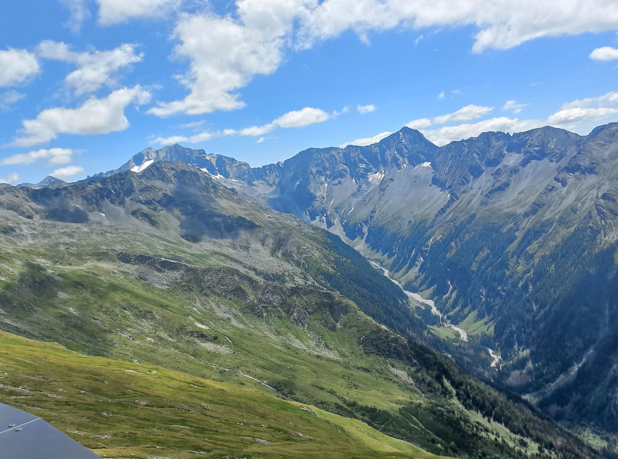
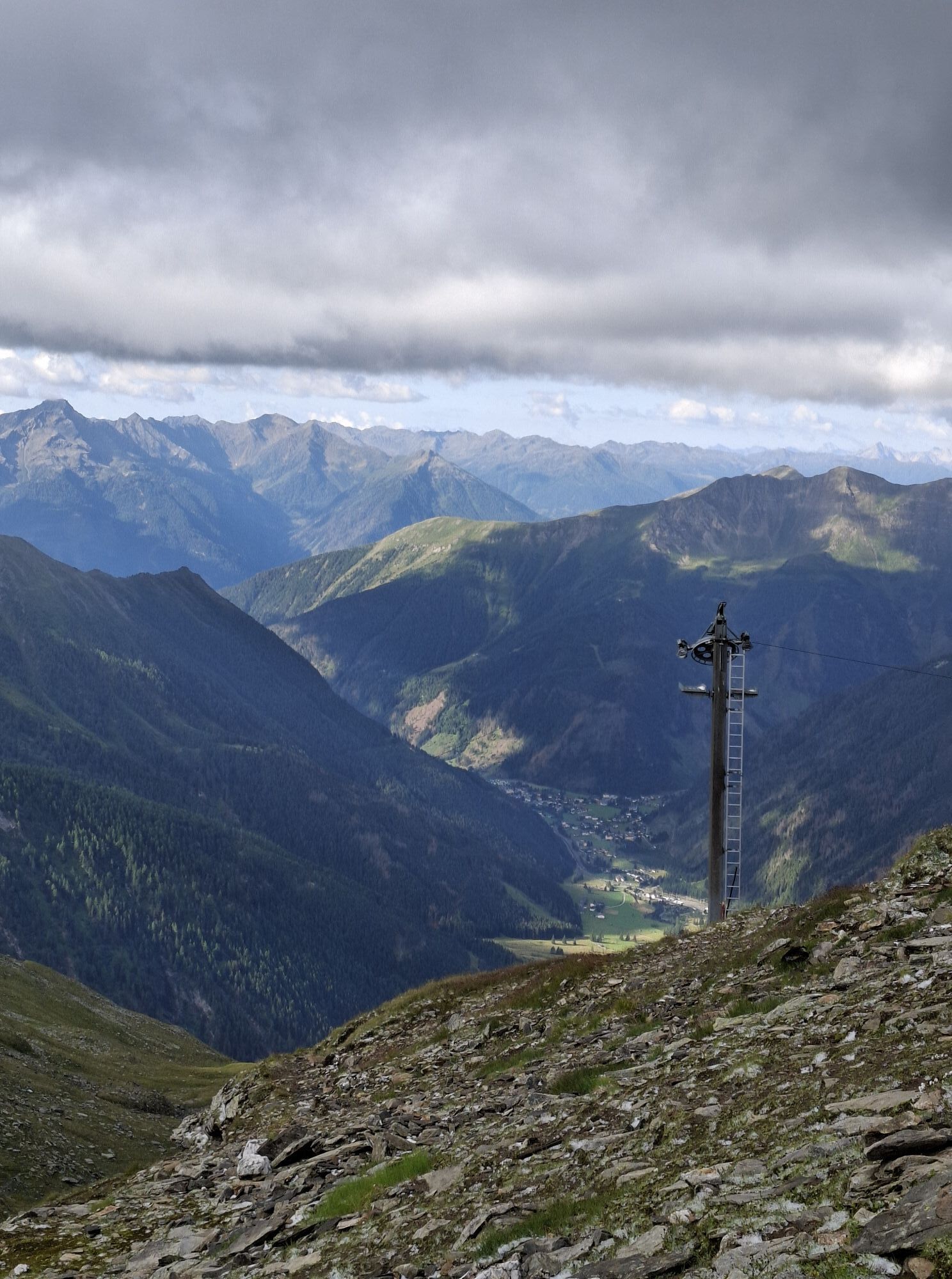
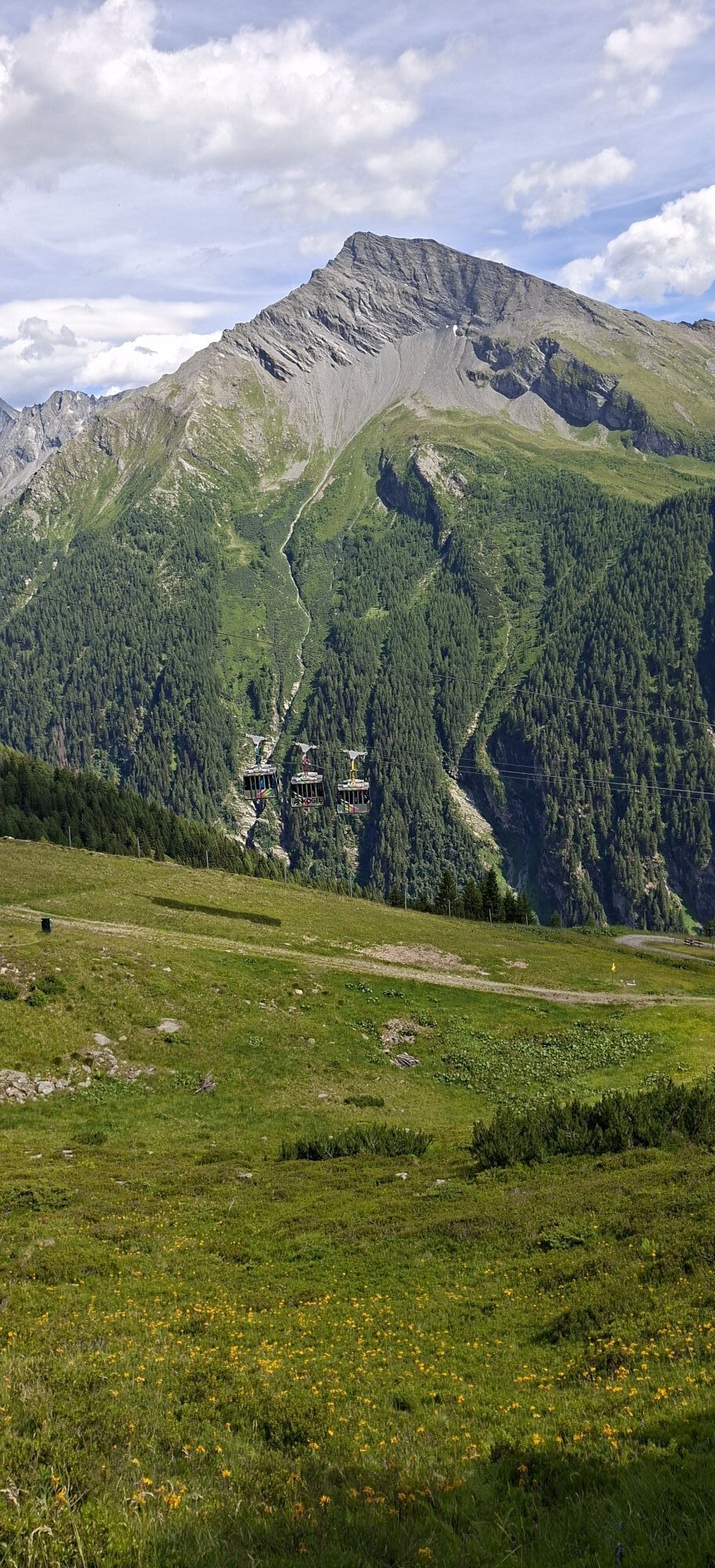
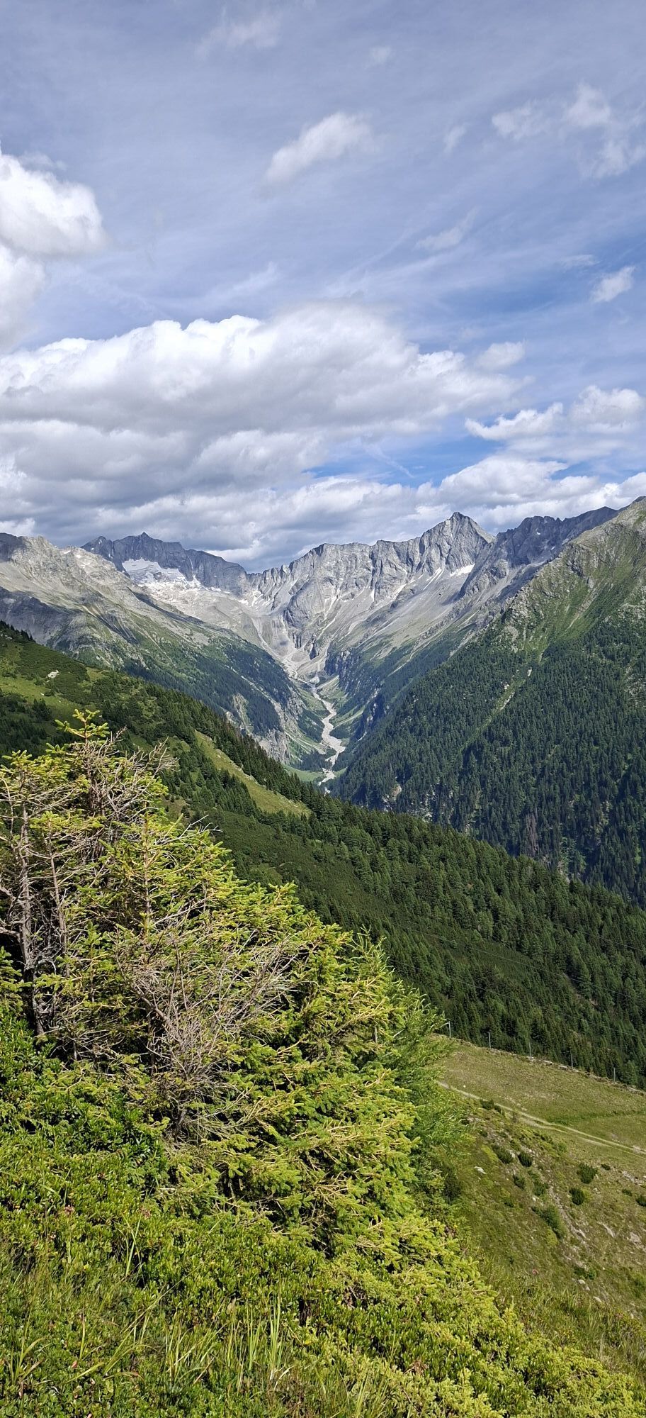
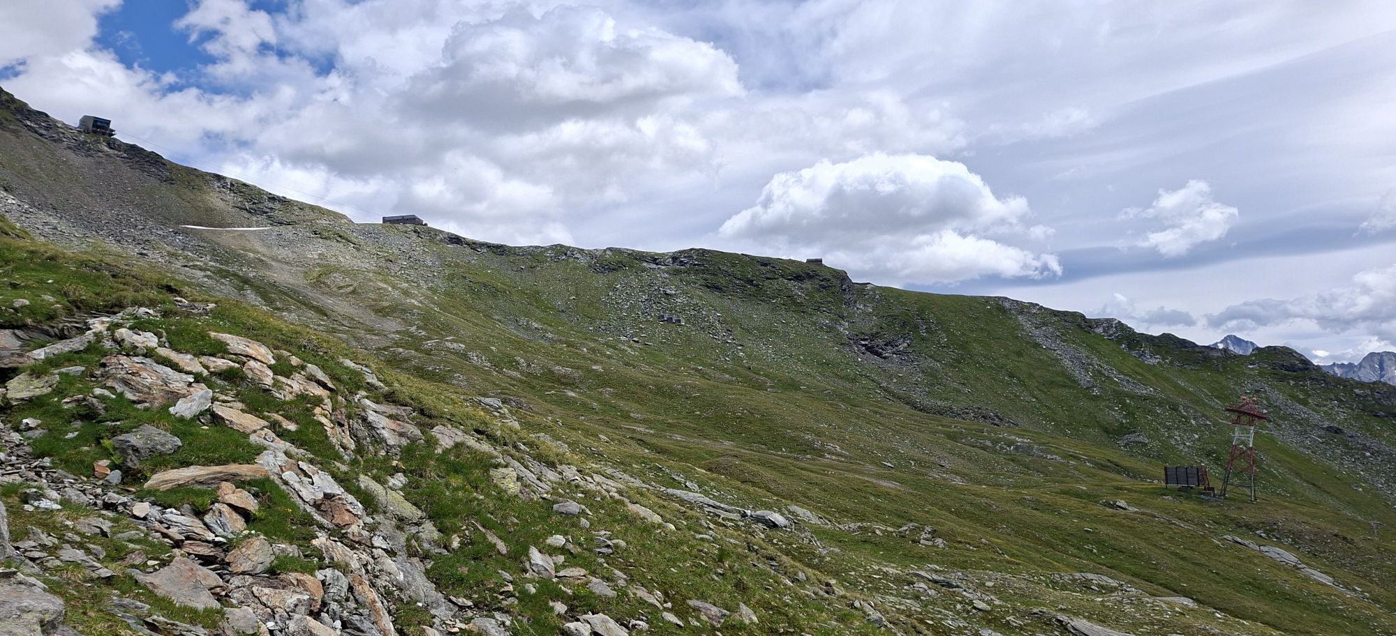
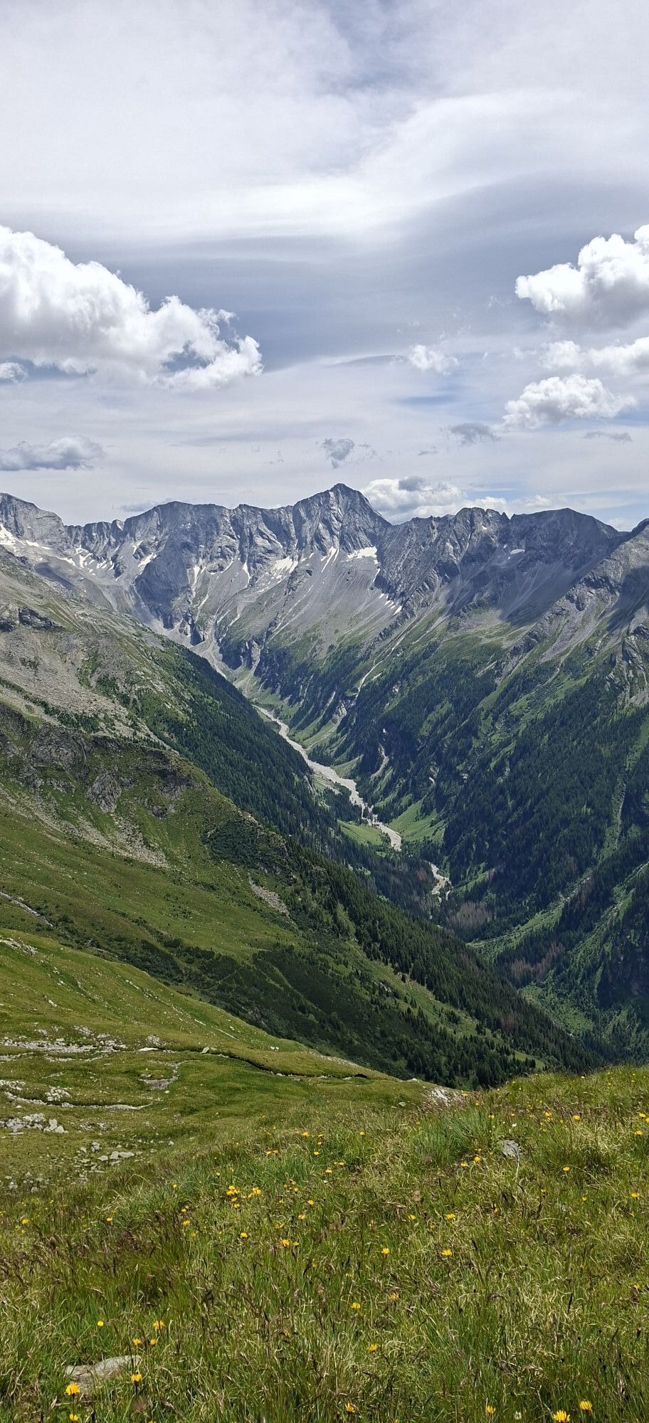
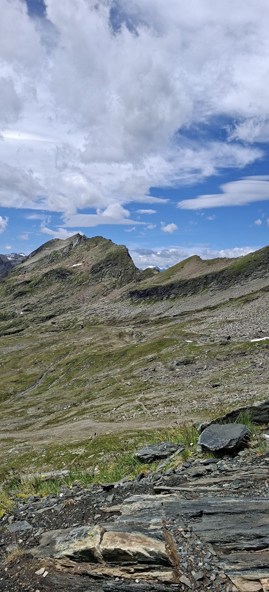
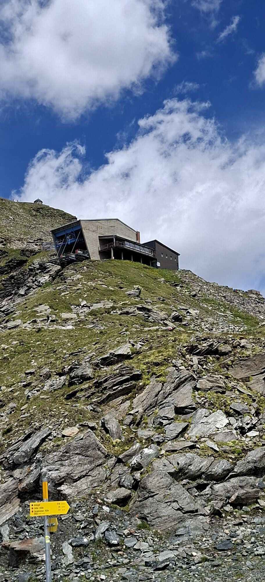
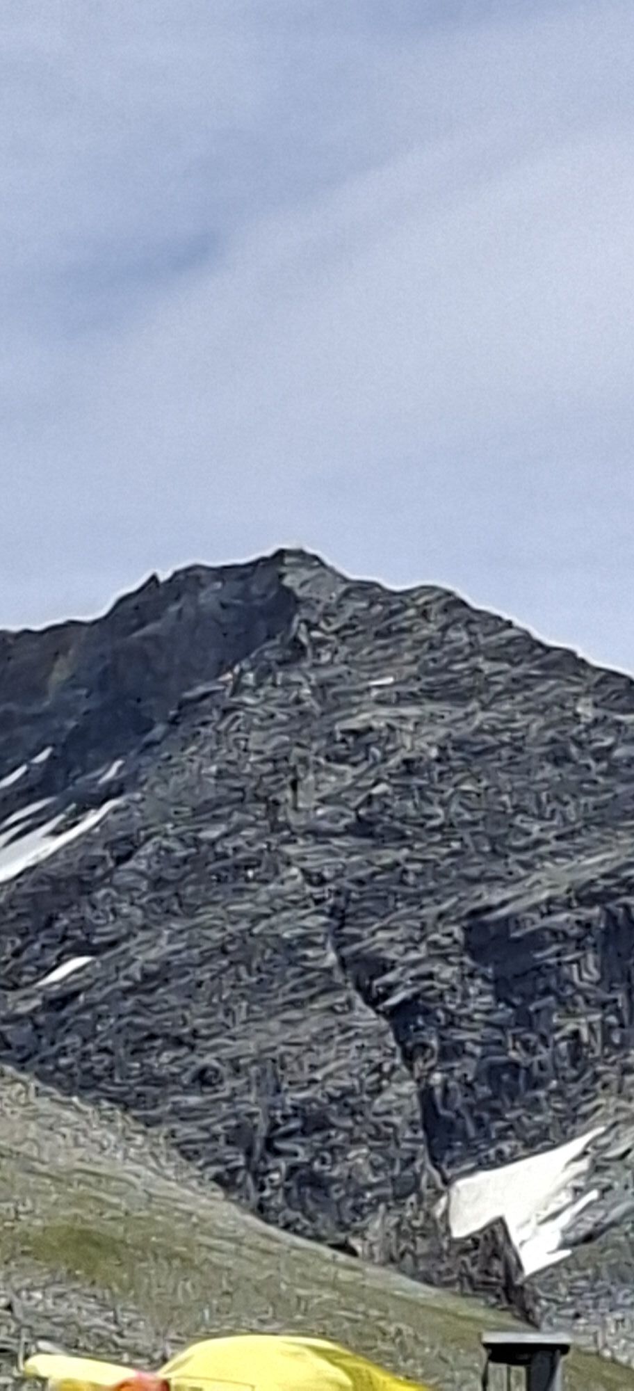
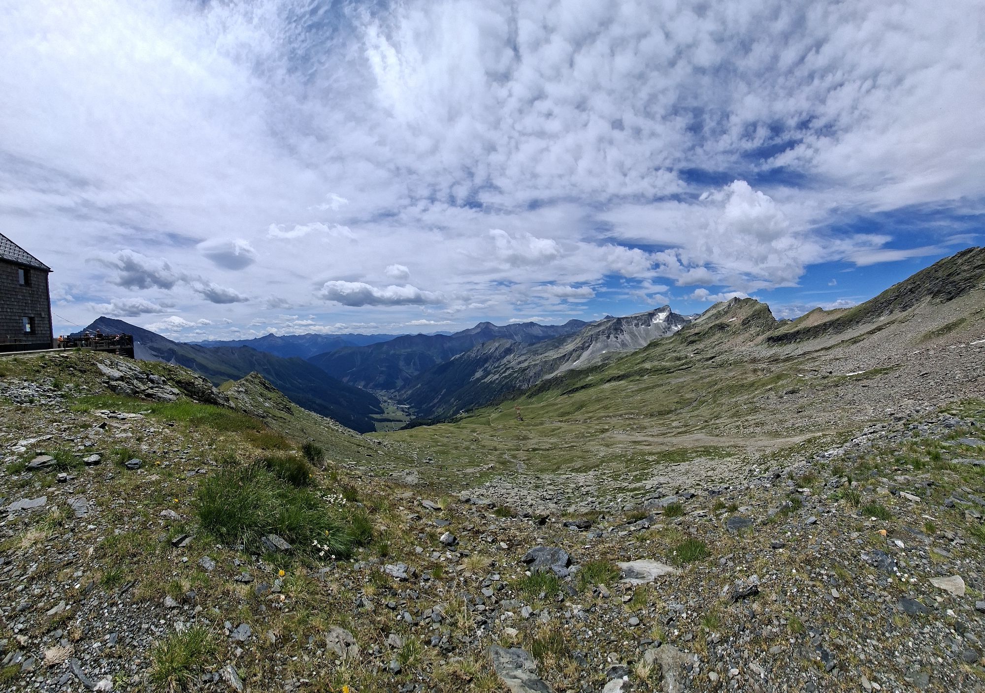
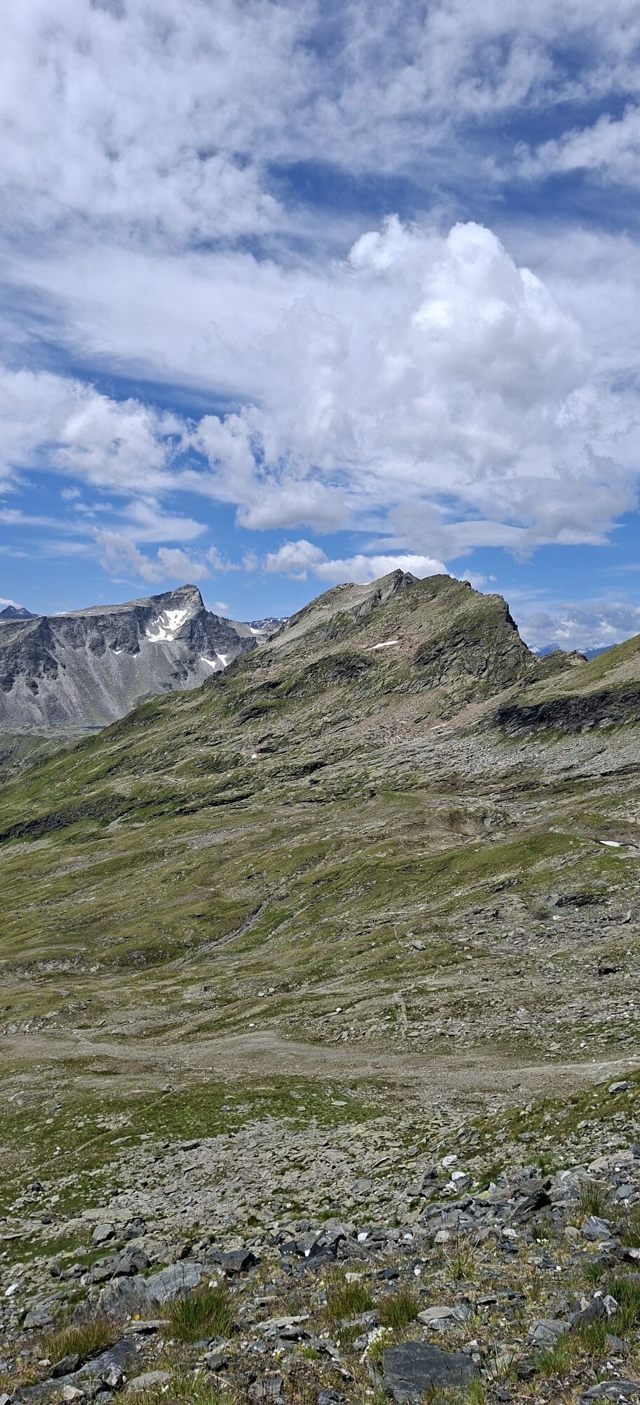
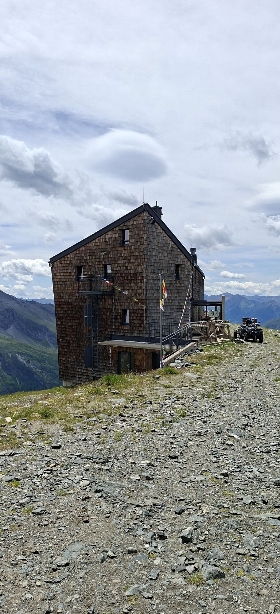
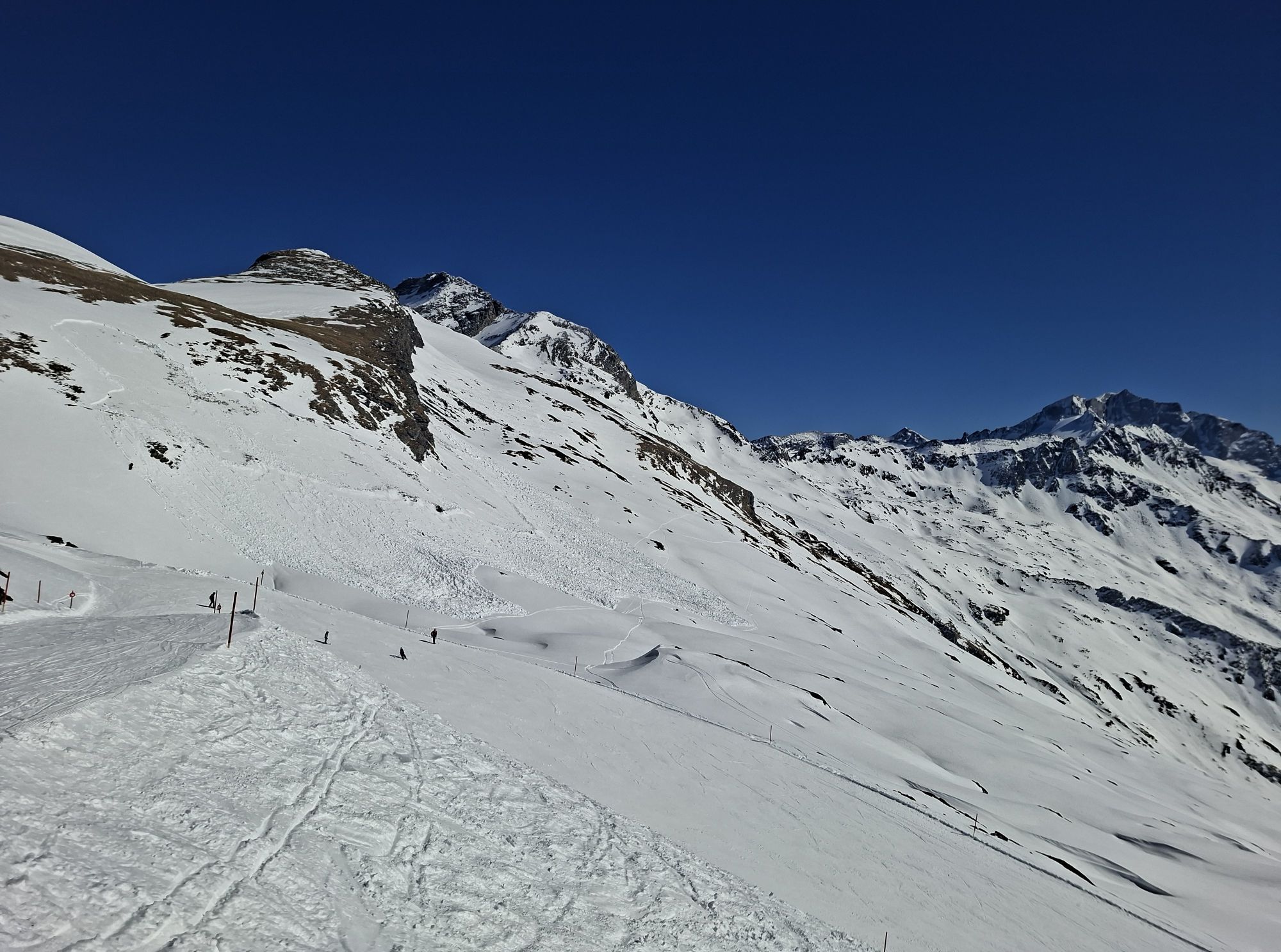
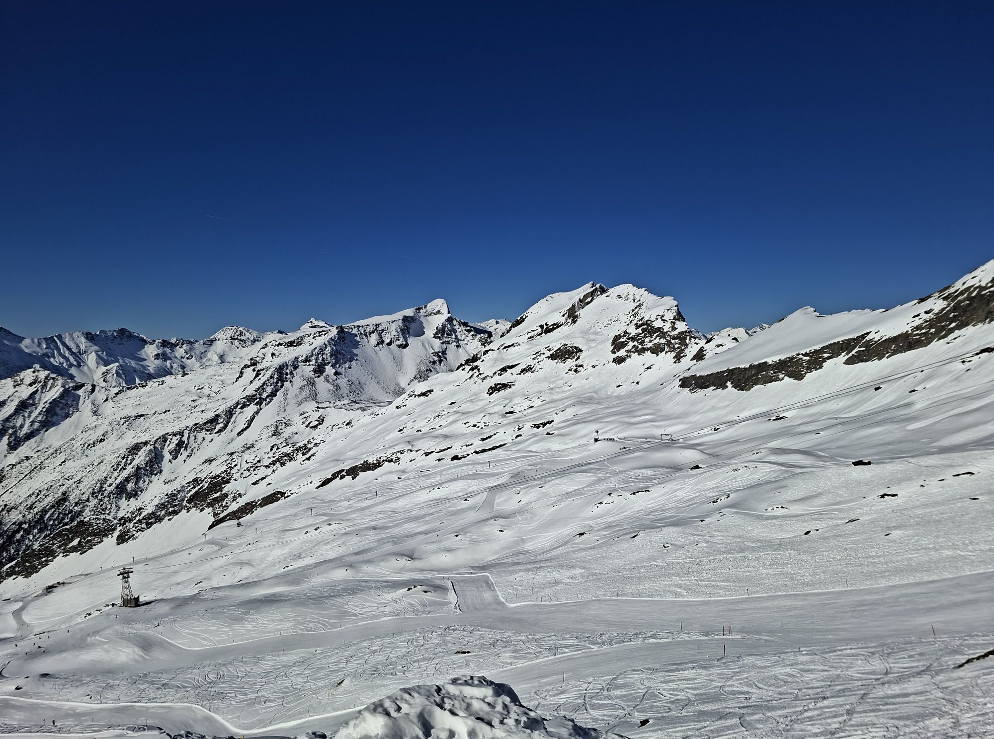
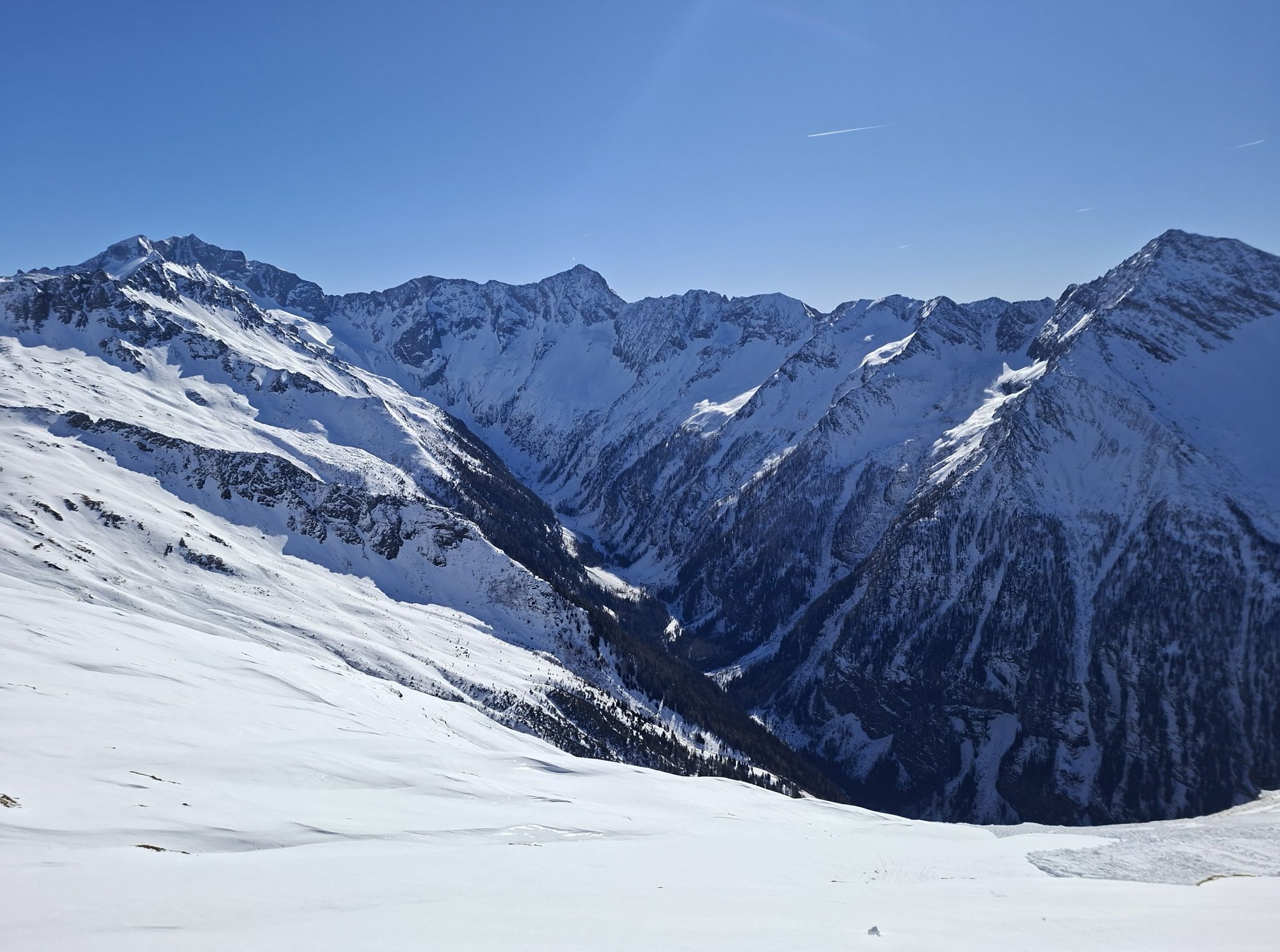
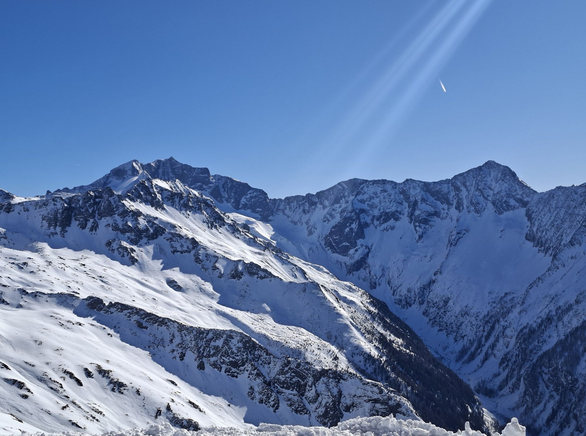
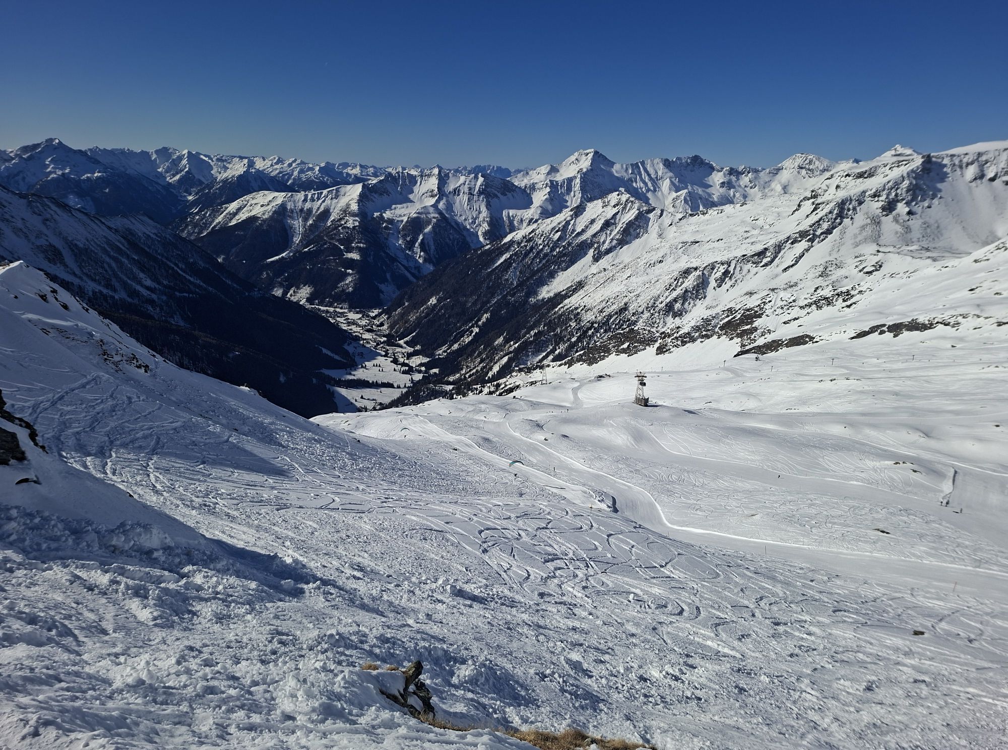
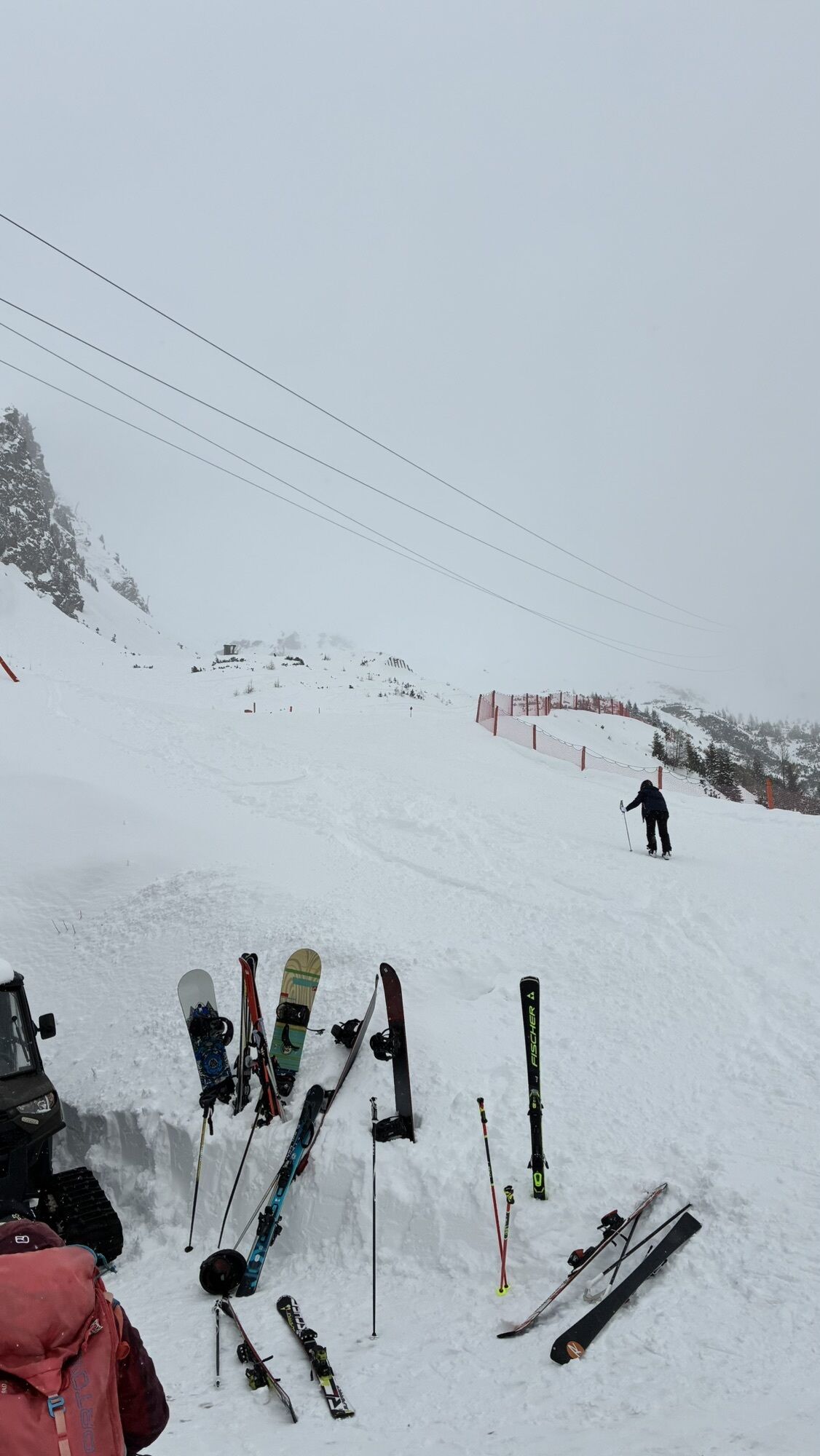
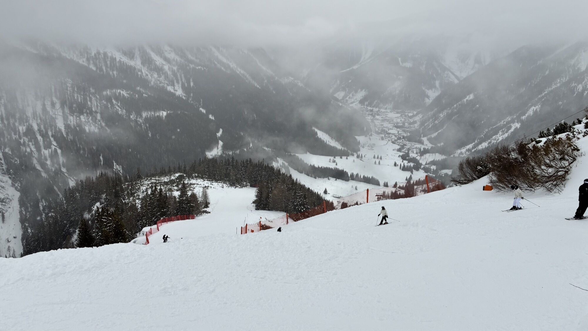
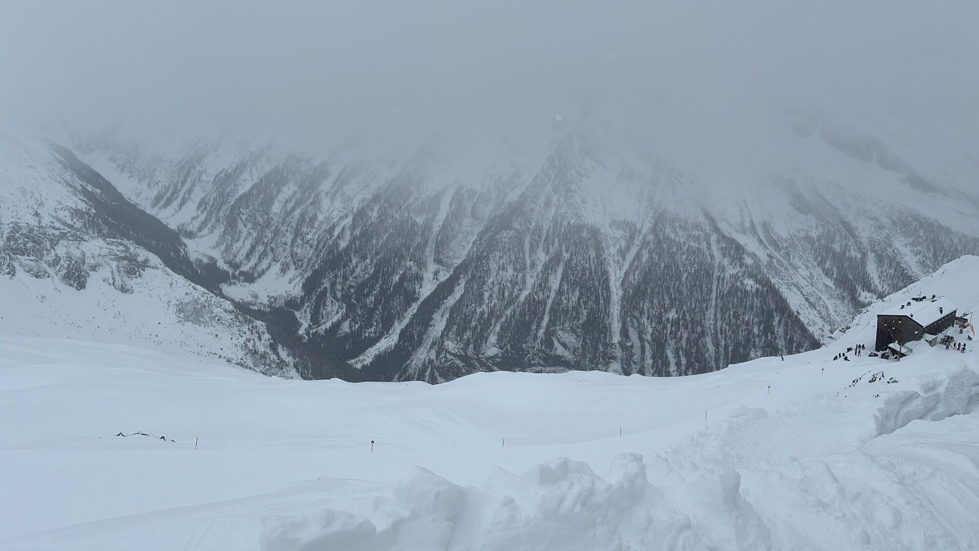
The hike leads us after the ascent with the Ankogelbahn from the mountain station first downhill to the Hannoverhaus and further along the Tauern high path. A short secured rope passage must be overcome...
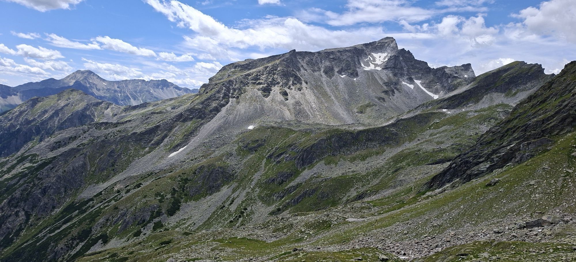
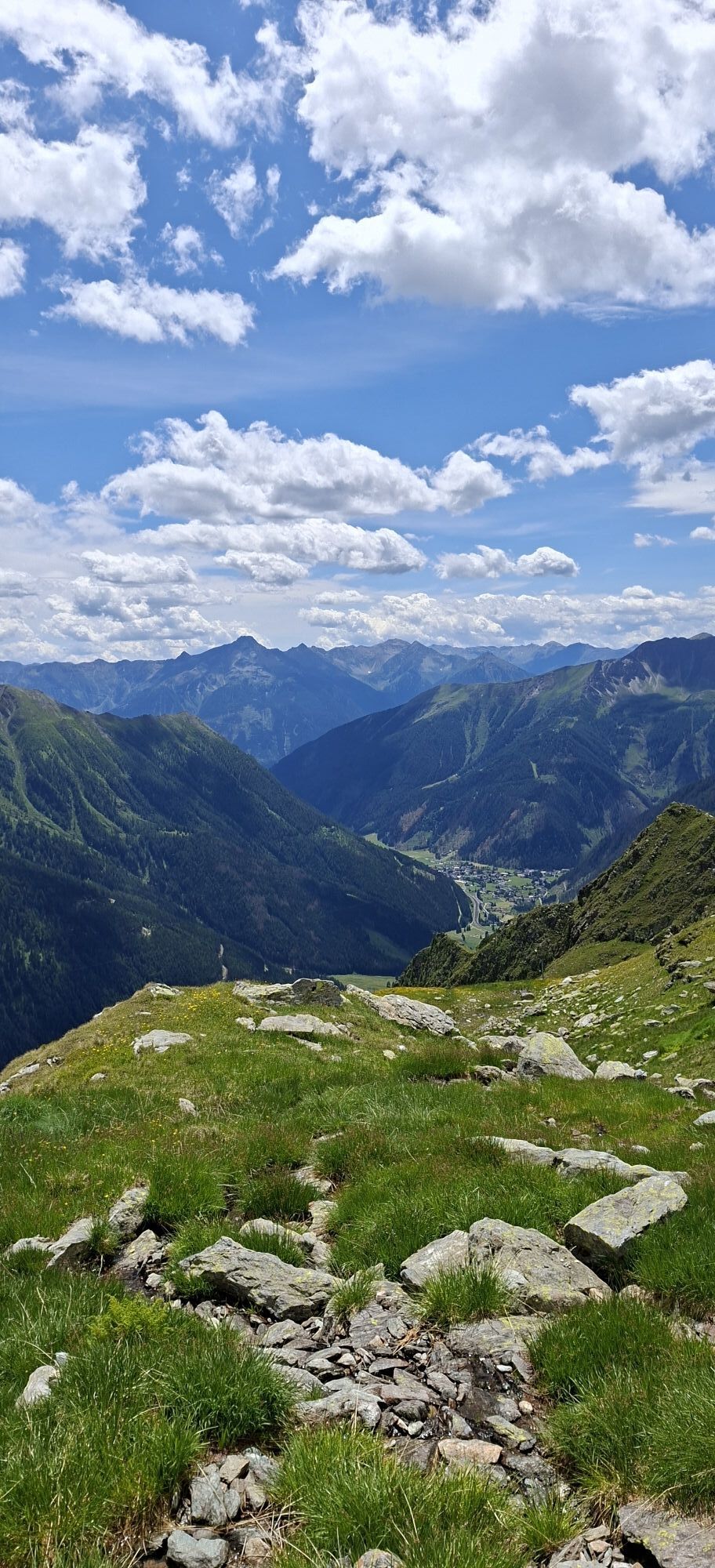
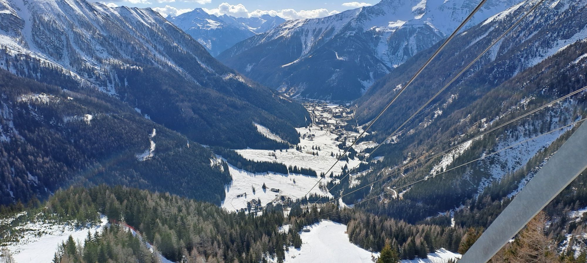
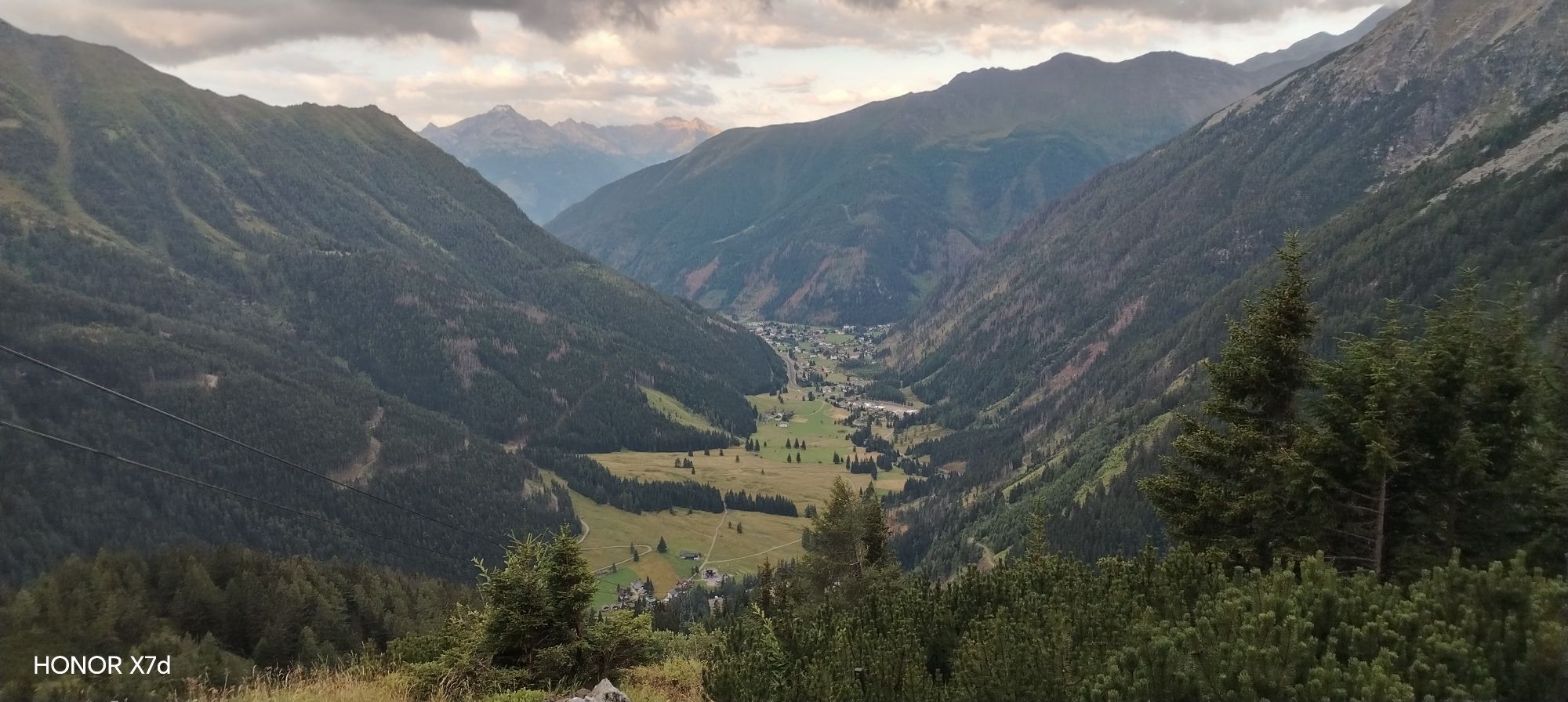
The hike leads us after the ascent with the Ankogelbahn from the mountain station first downhill to the Hannoverhaus and further along the Tauern high path. A short secured rope passage must be overcome before taking a short break at Luggetörl. Down in the valley floor, we see the village of Mallnitz with the adjacent peaks of the Hohe Tauern. Then it goes somewhat steeper downhill until we have to cross a scree field. The last ascent to the Kleine Tauernsee already leads us over the still clearly recognizable old Roman road. The descent follows the cultural hiking trail Roman road to the middle station. From the late Middle Ages, a lively mule traffic developed over the so-called "Korntauern".

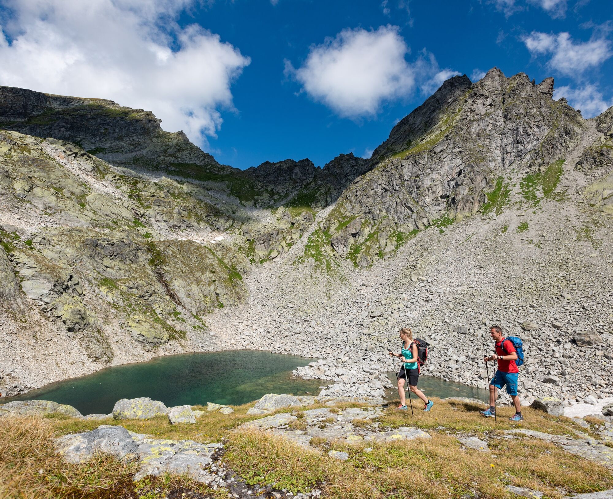
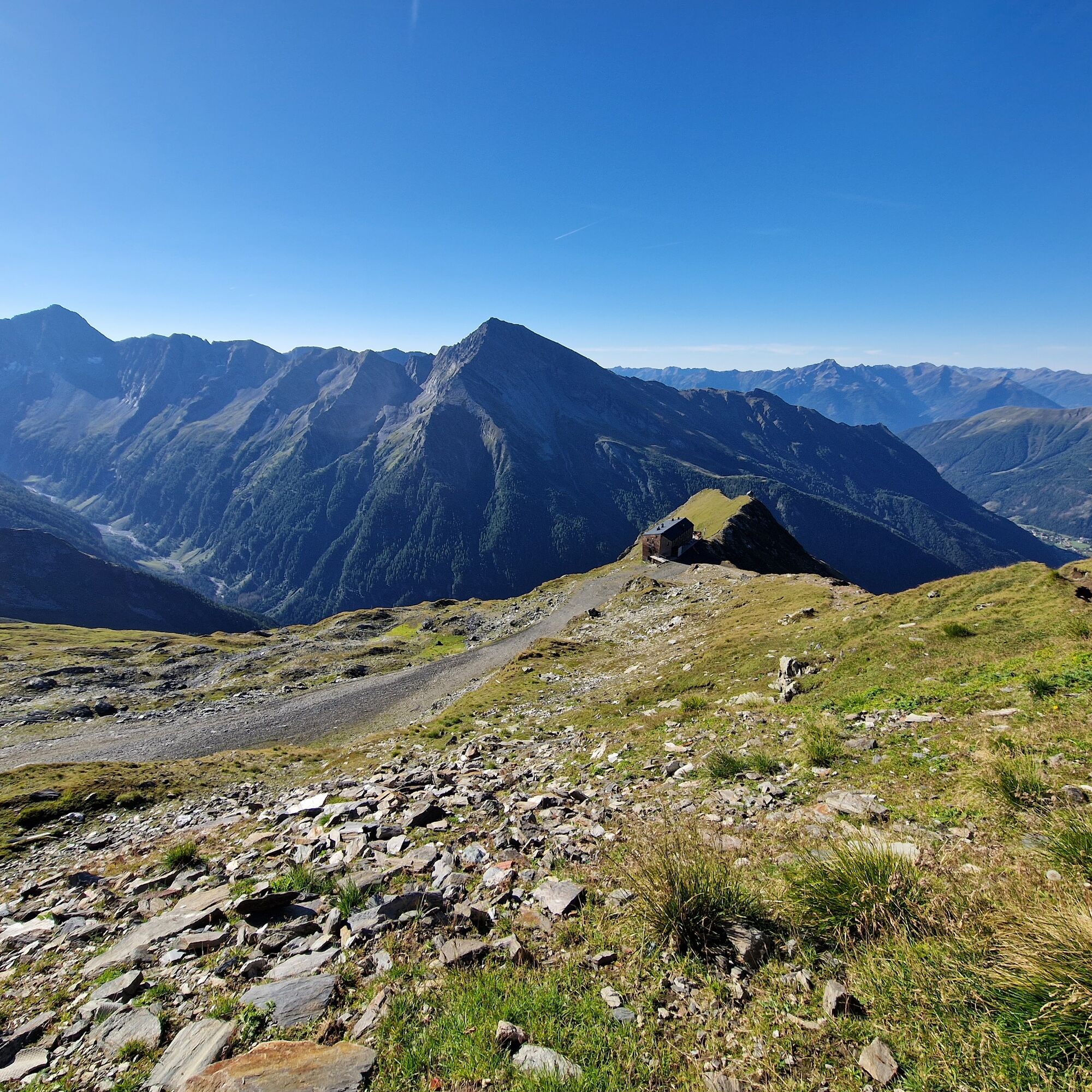
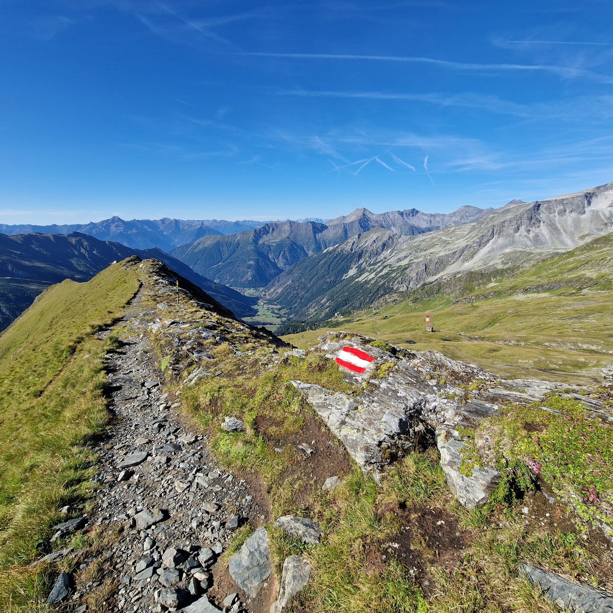
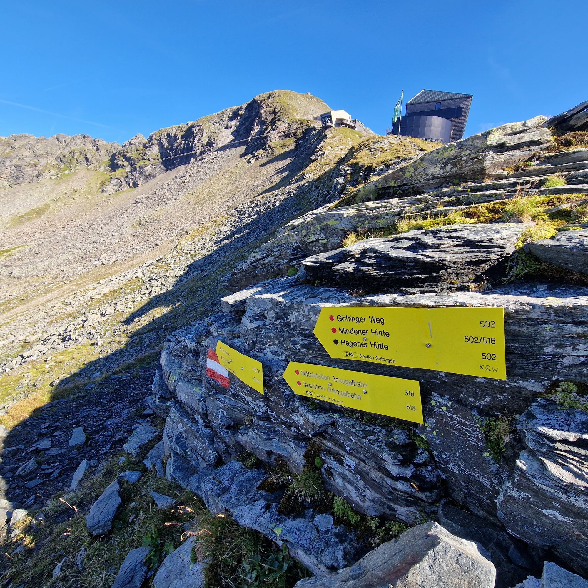
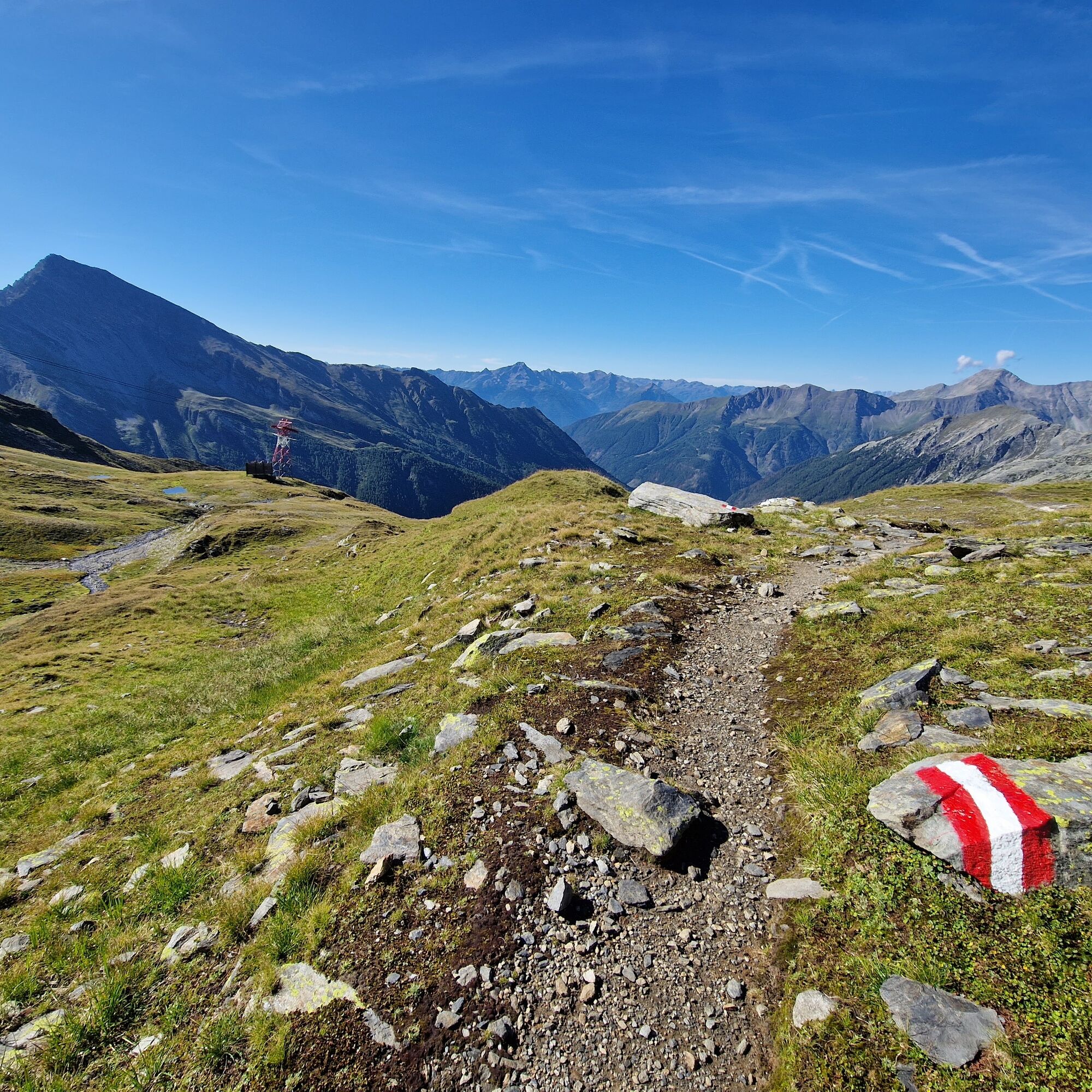
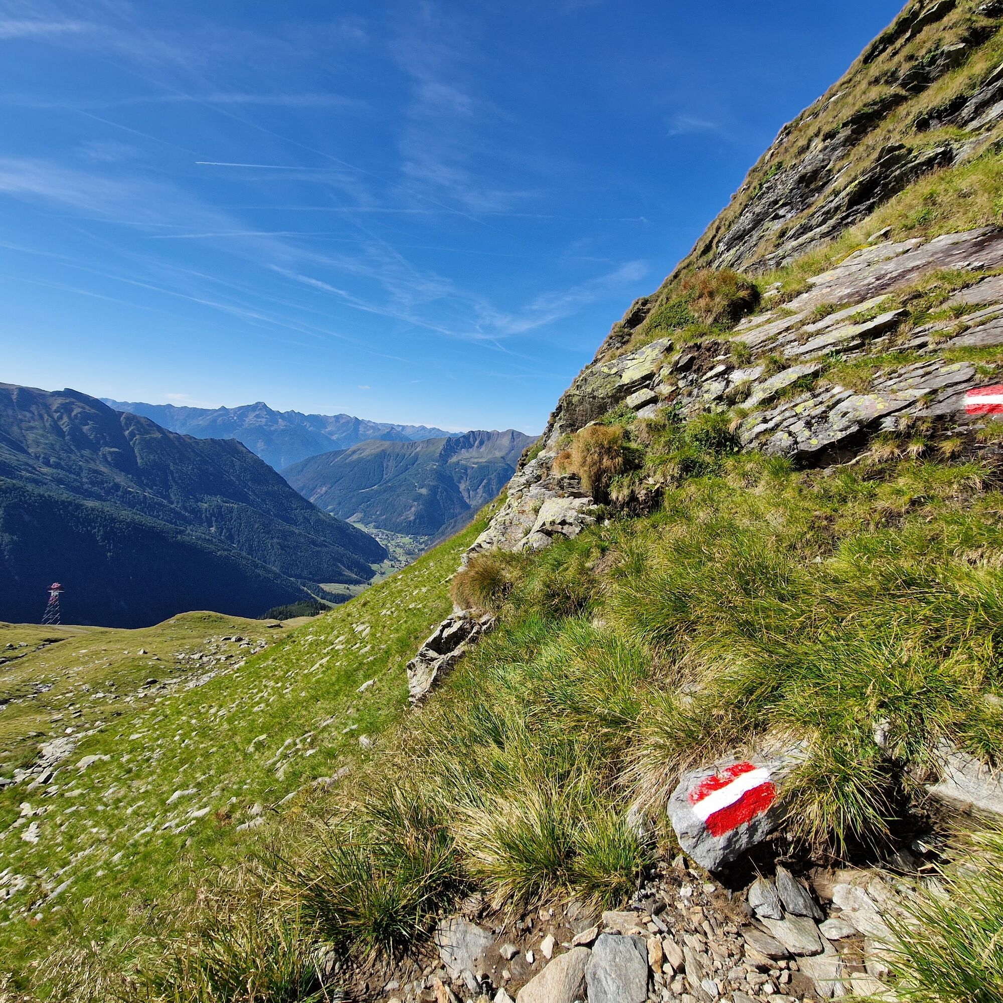
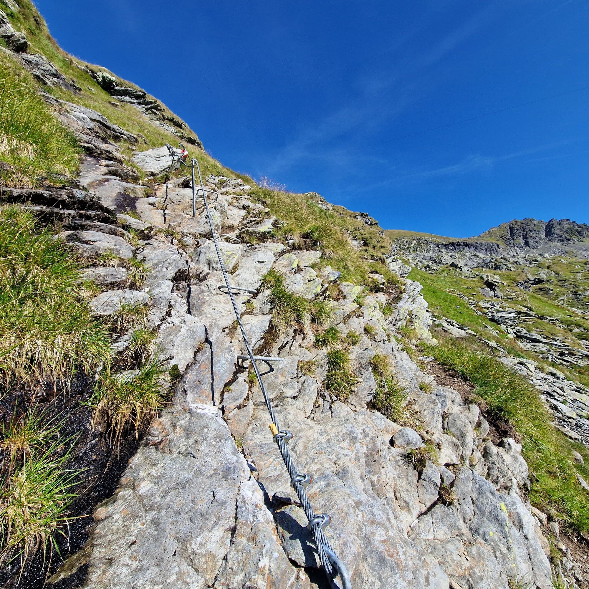
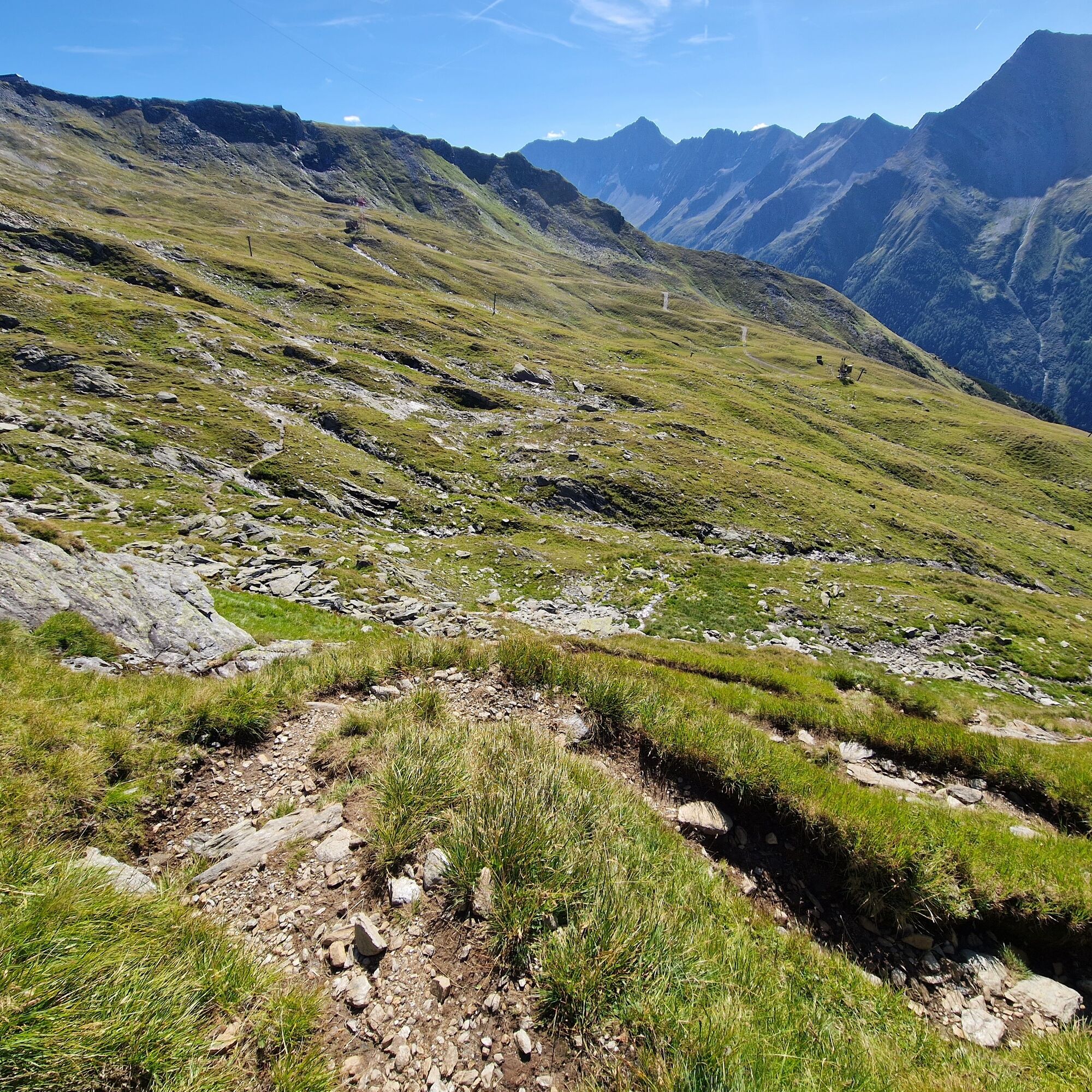
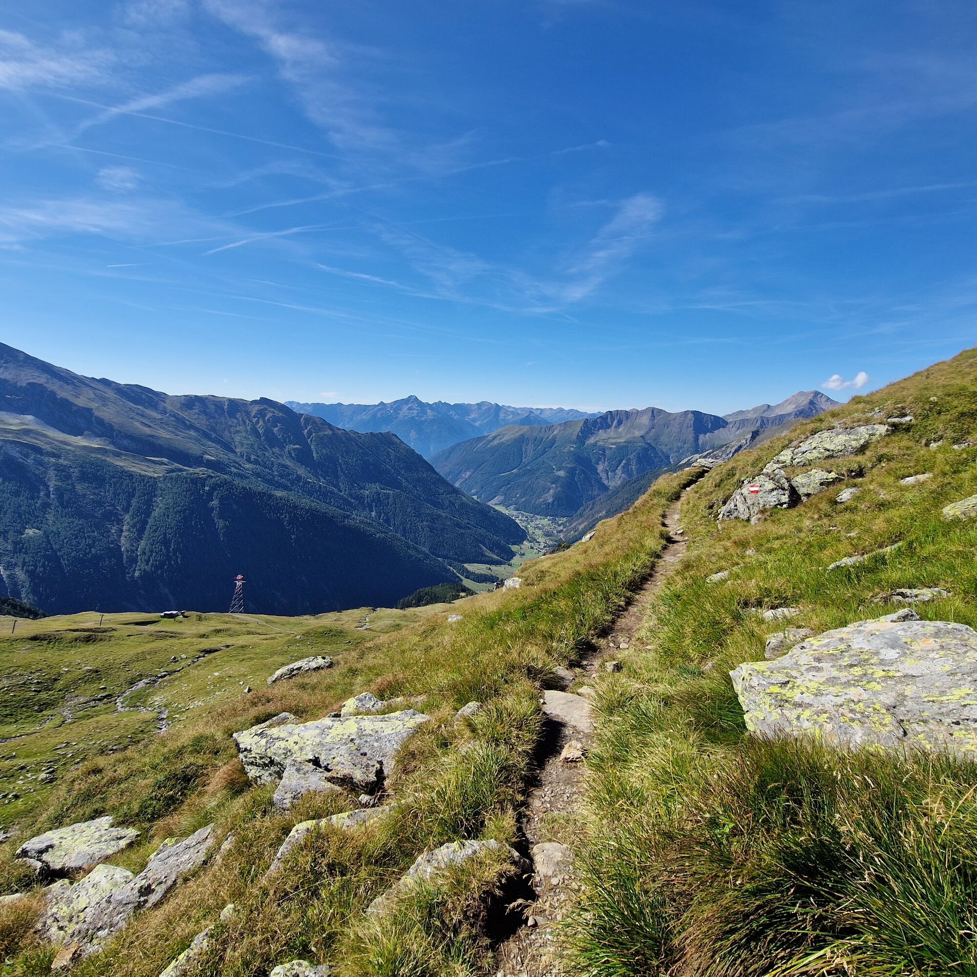
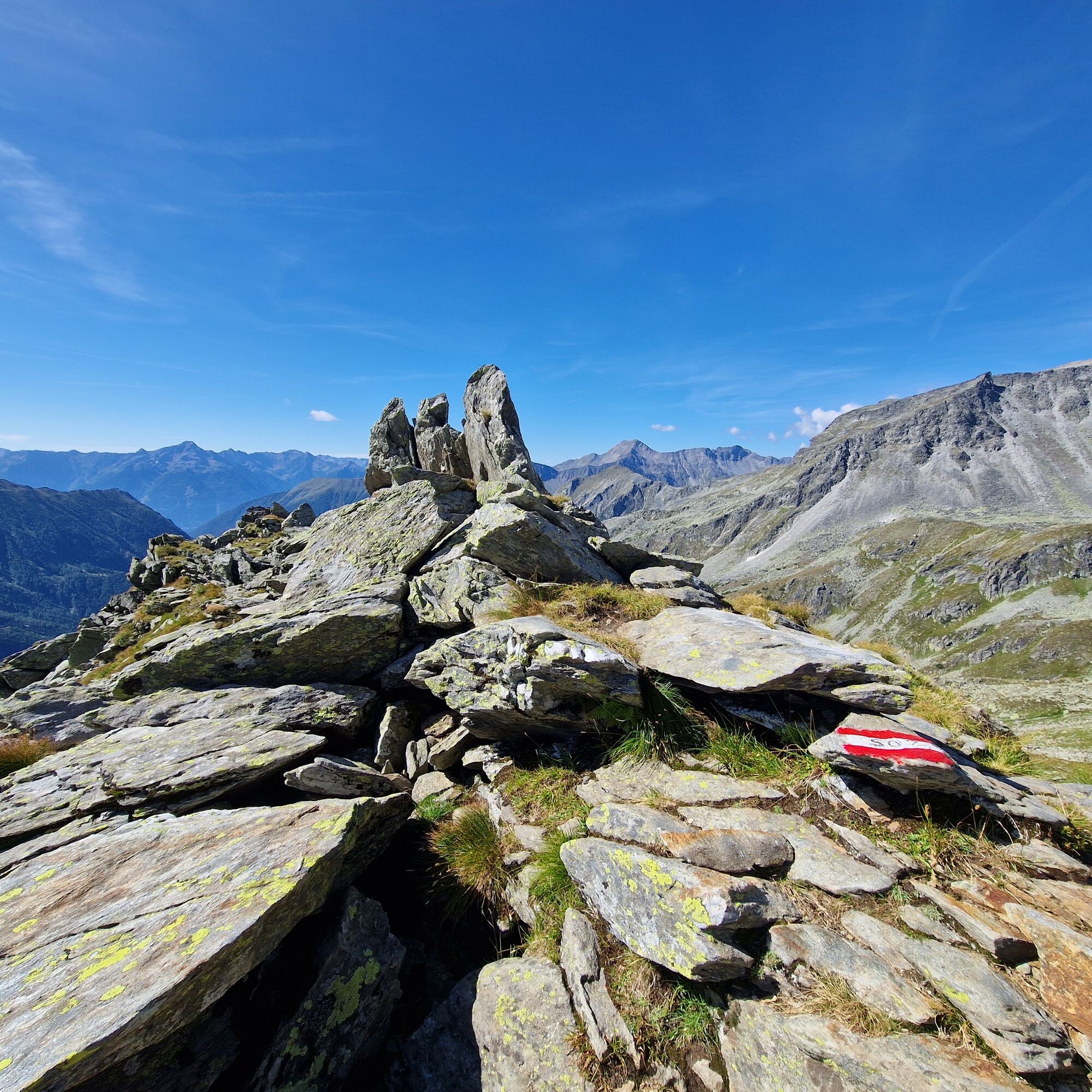
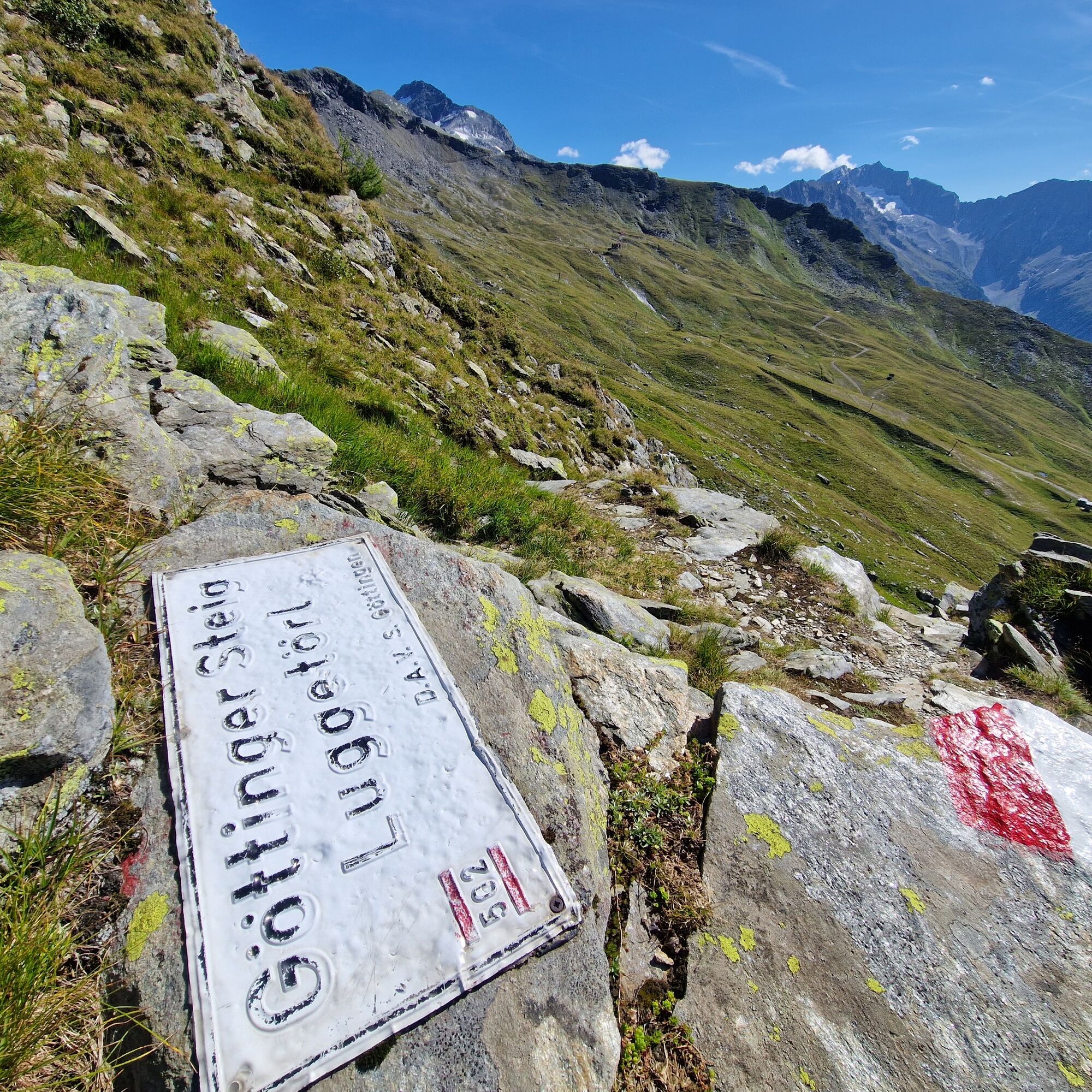
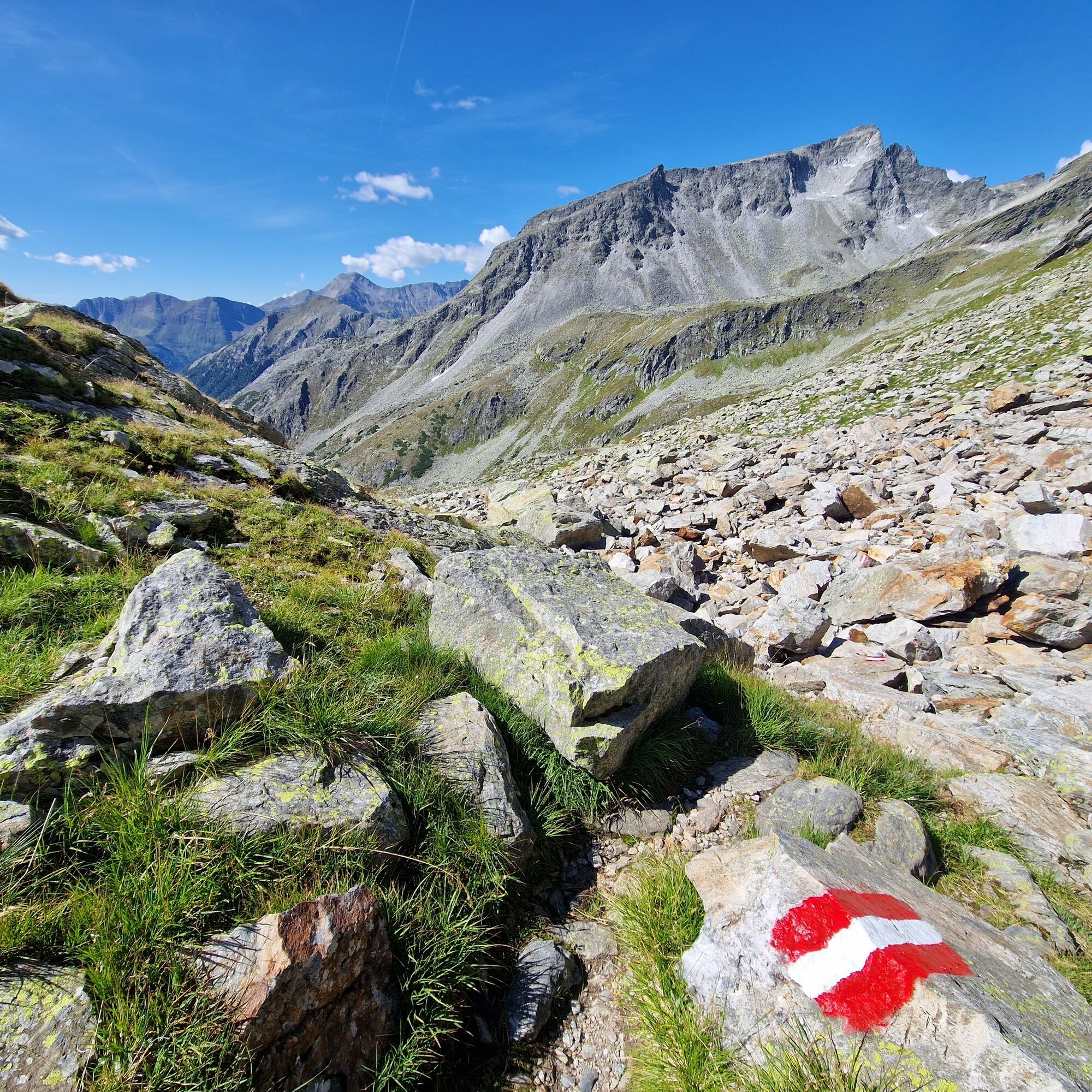
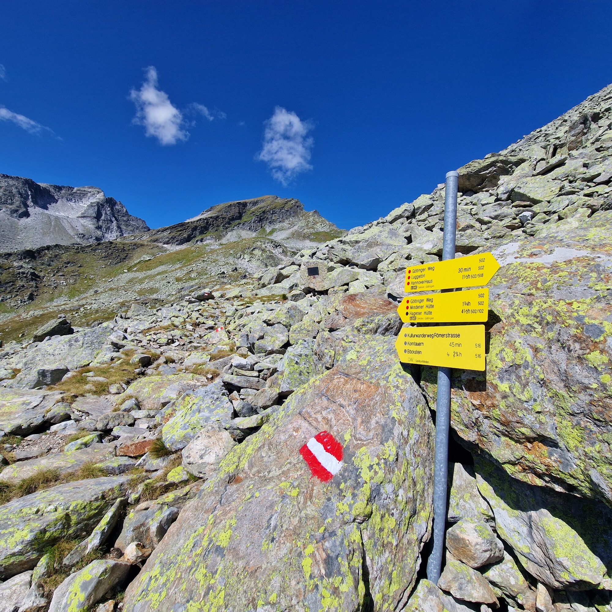
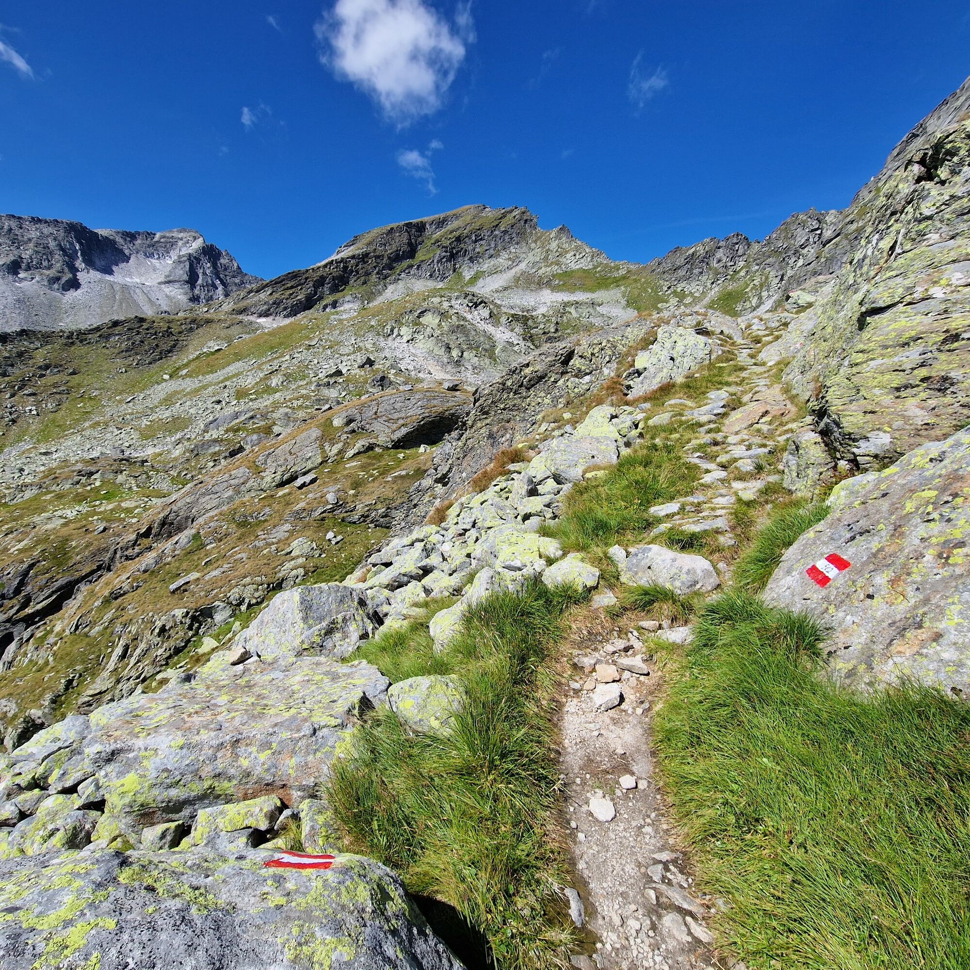
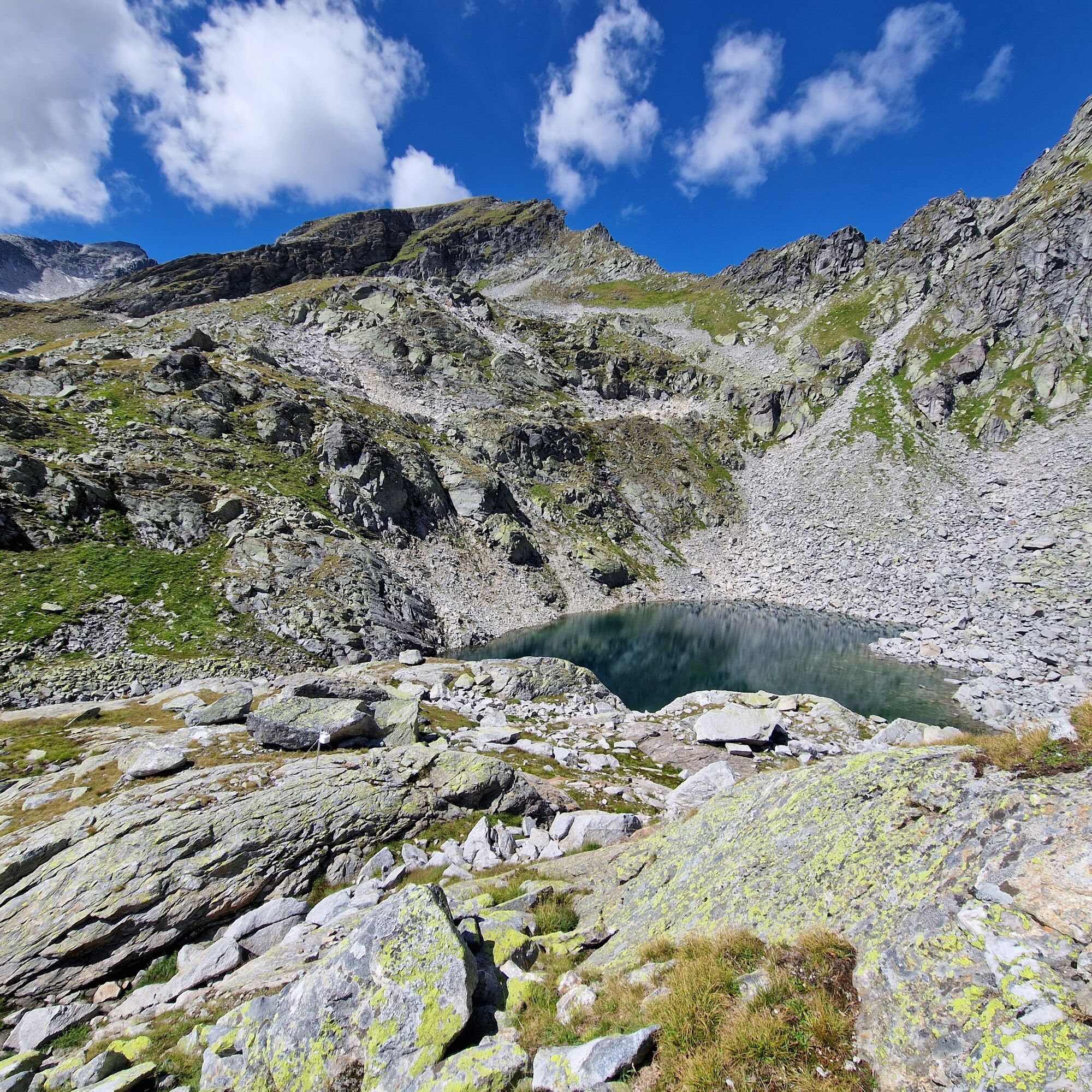
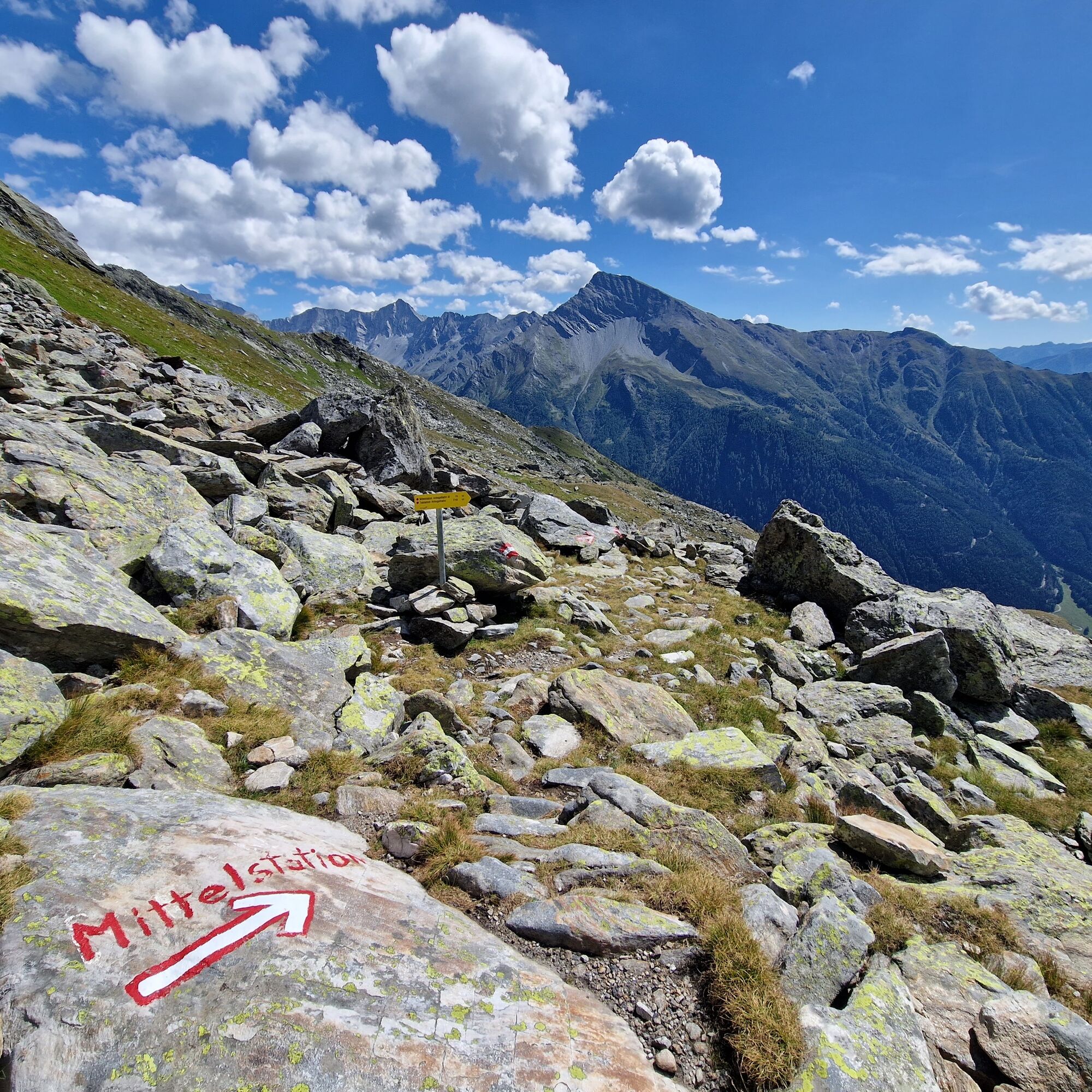
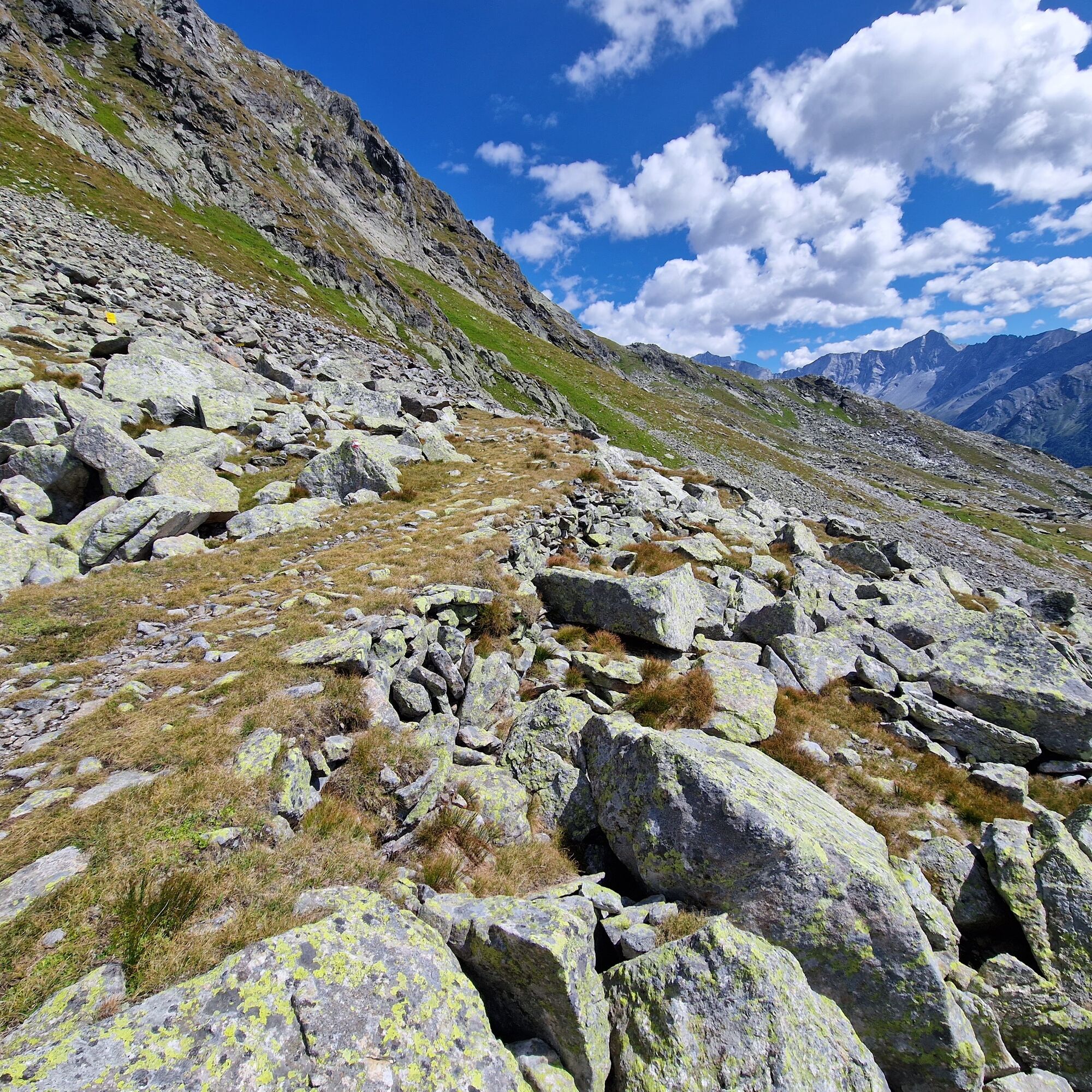
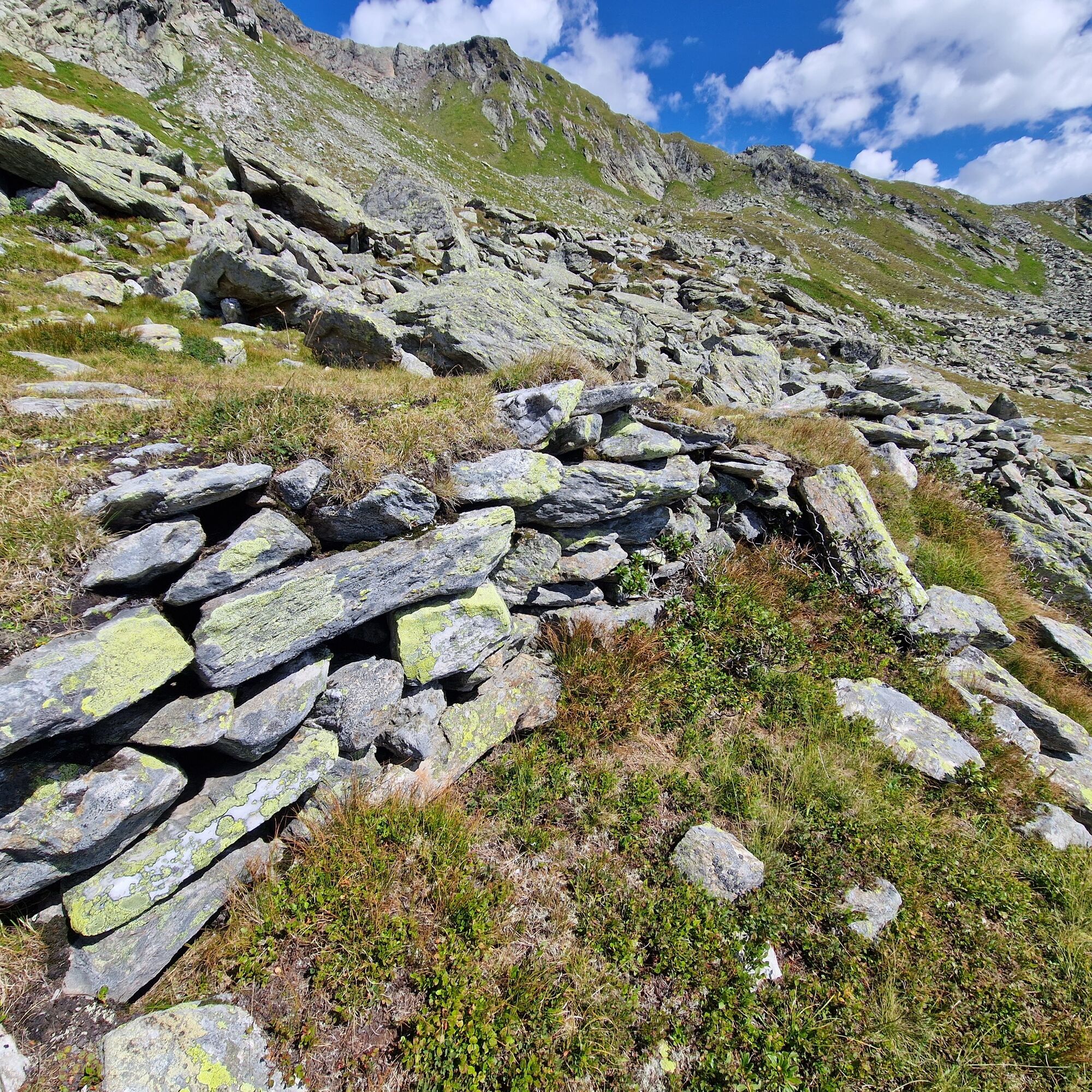
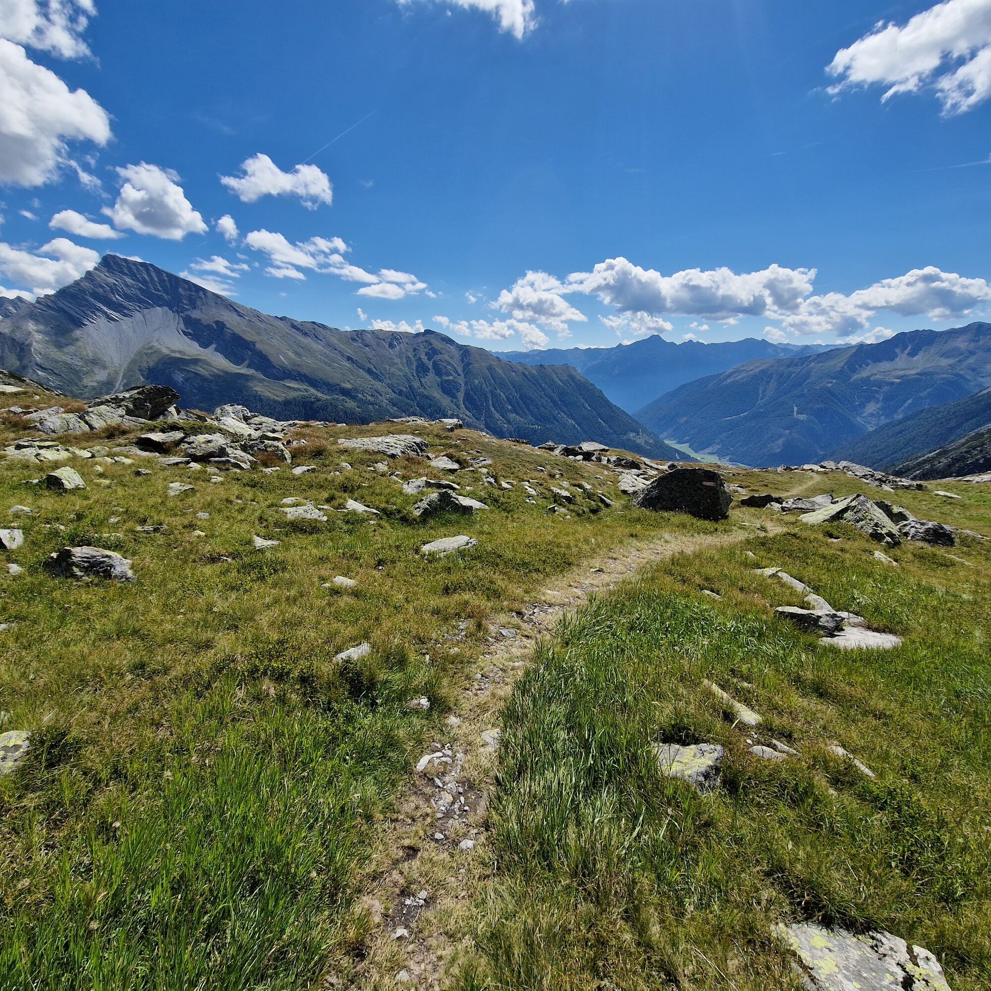
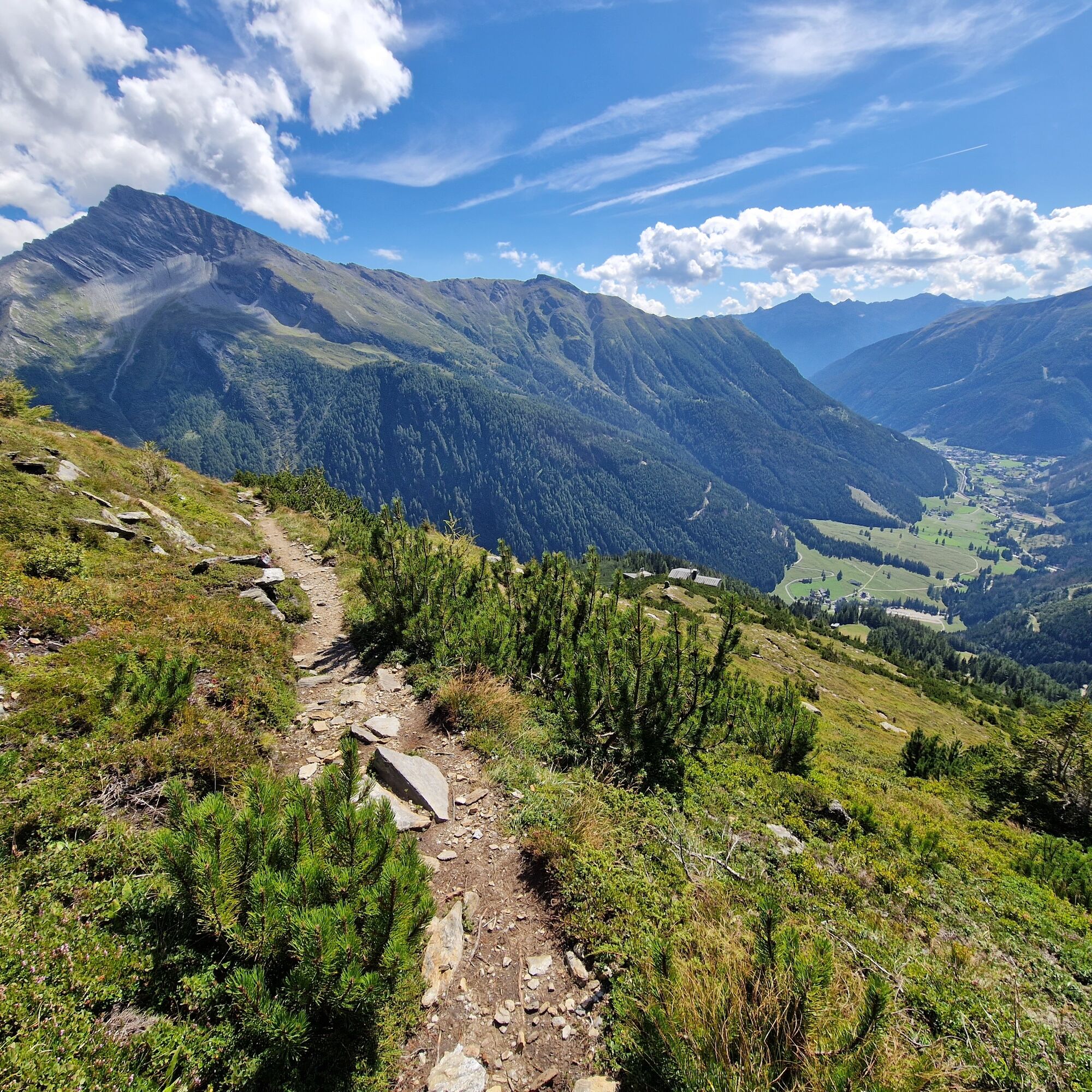
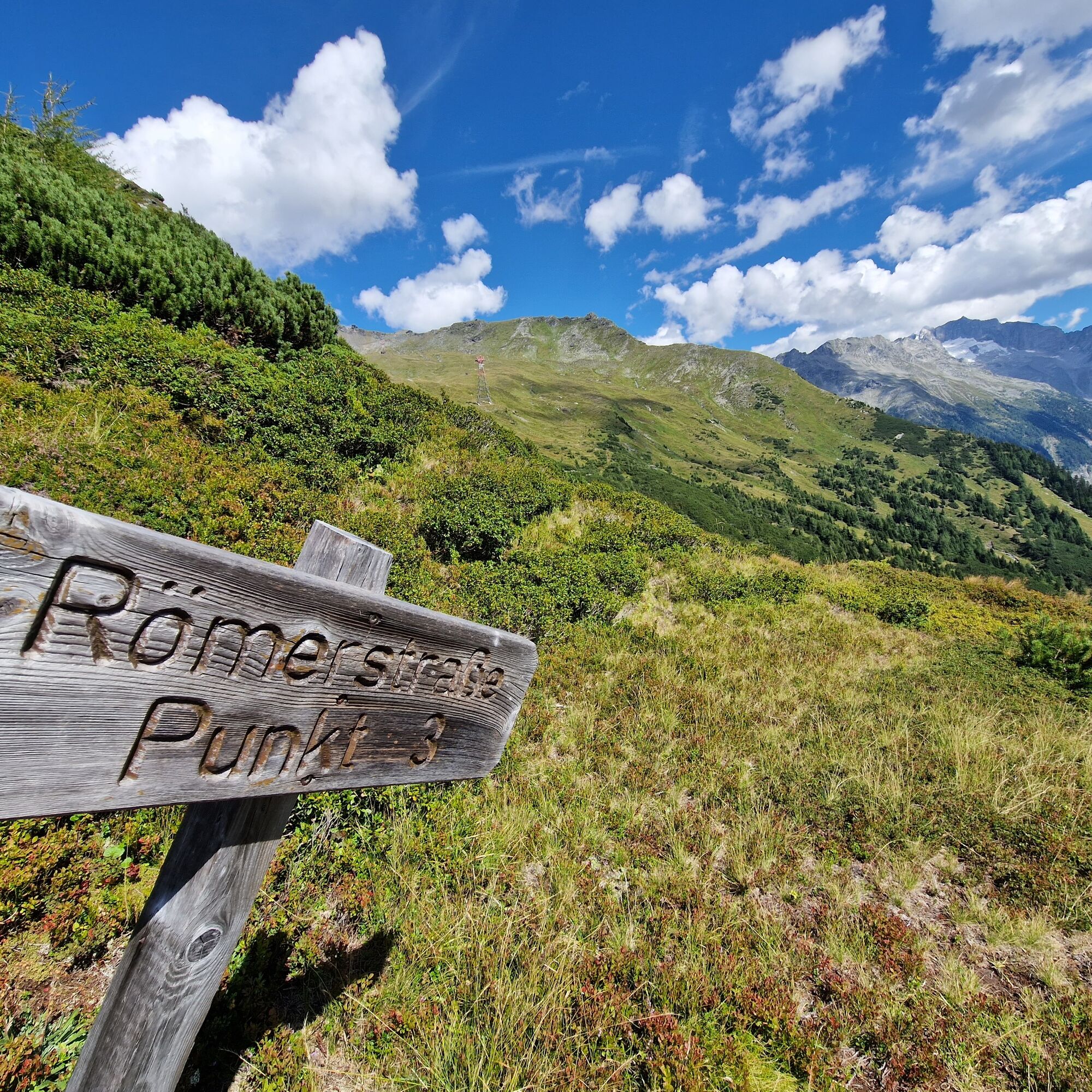
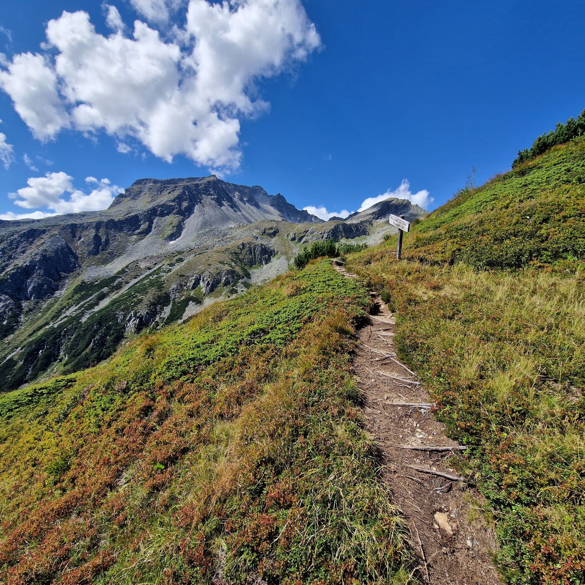

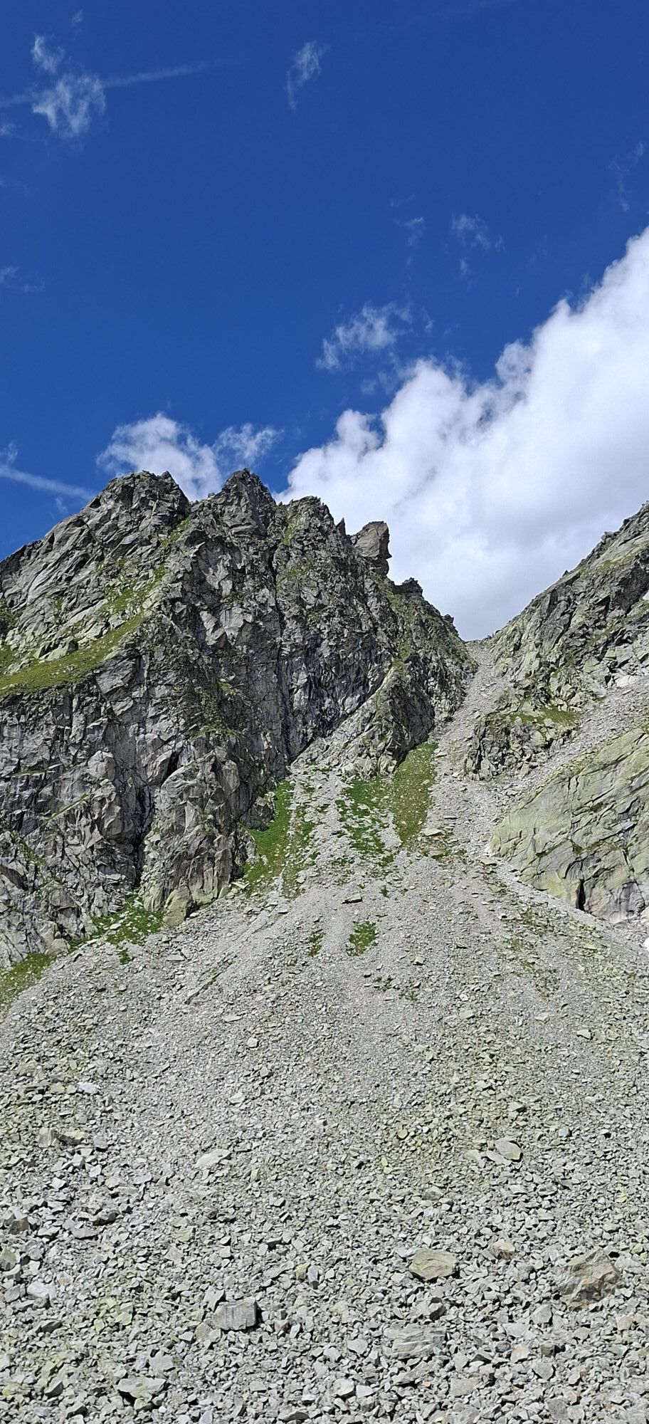
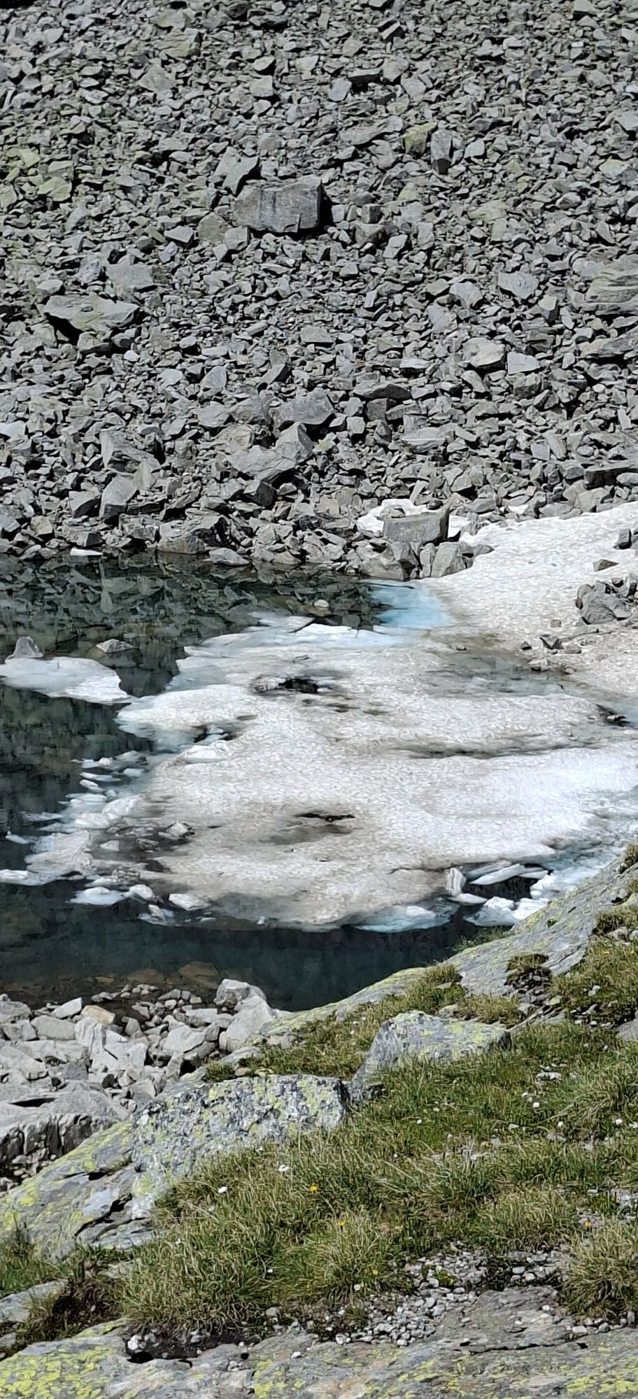
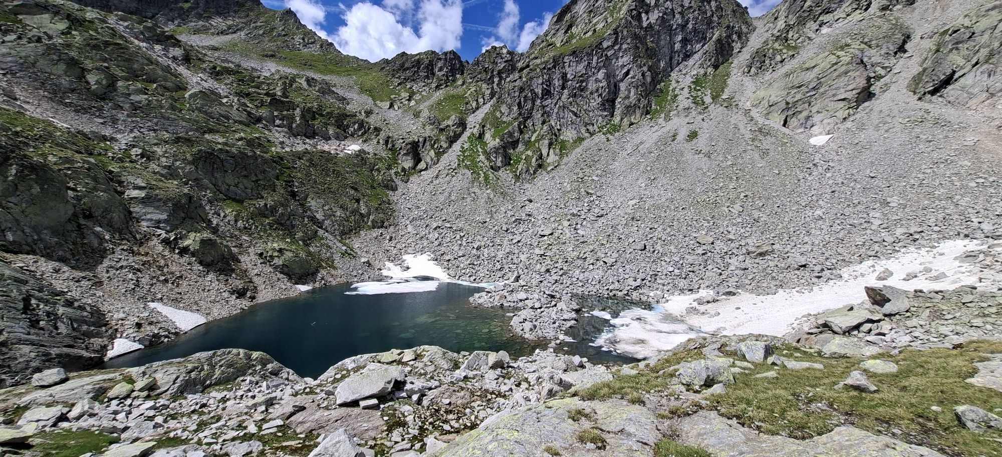
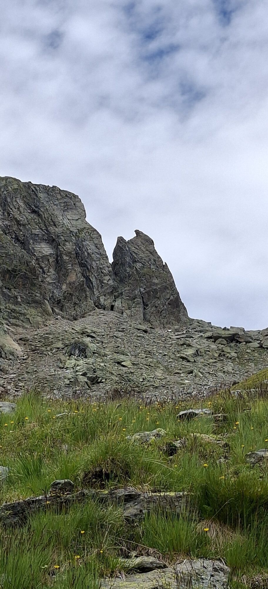
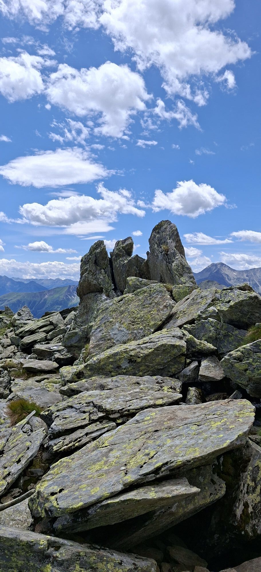
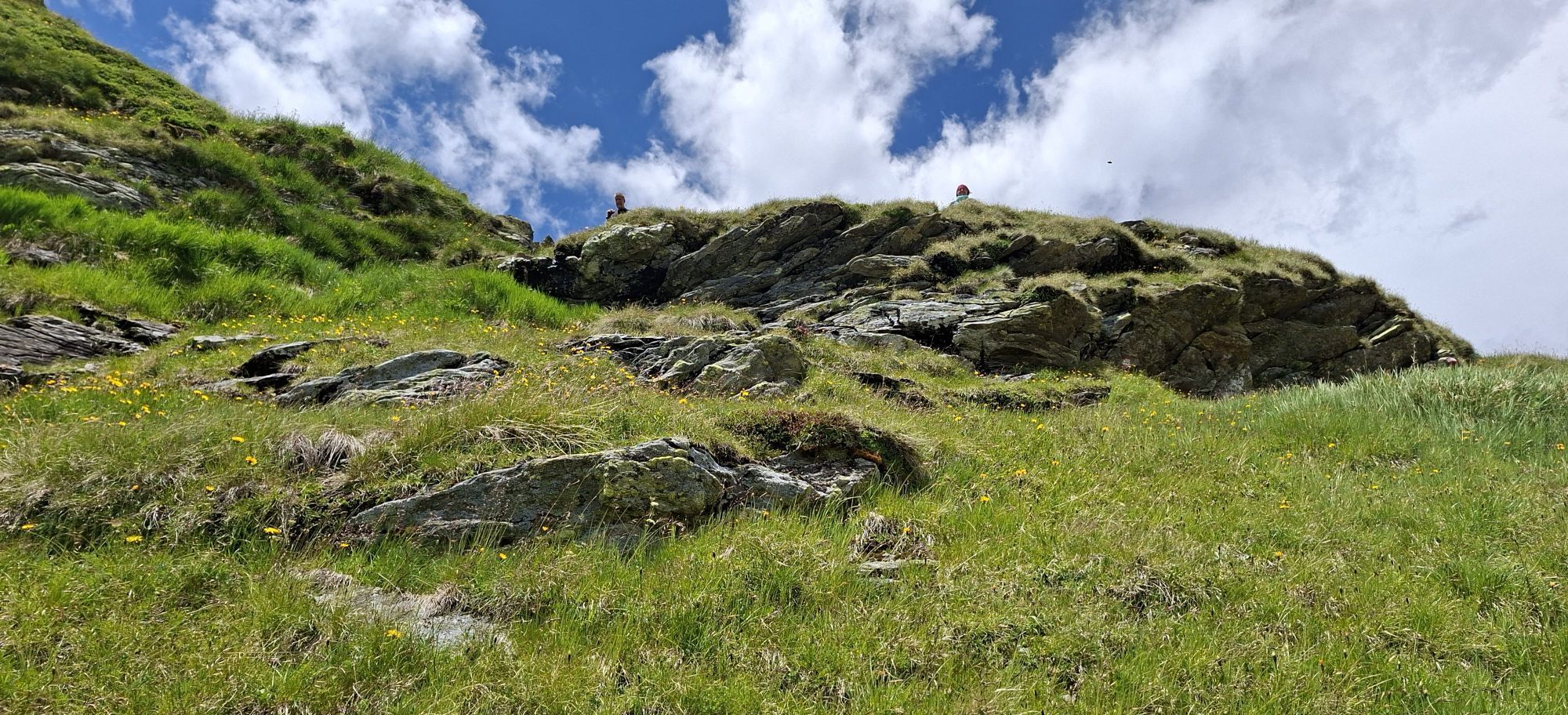
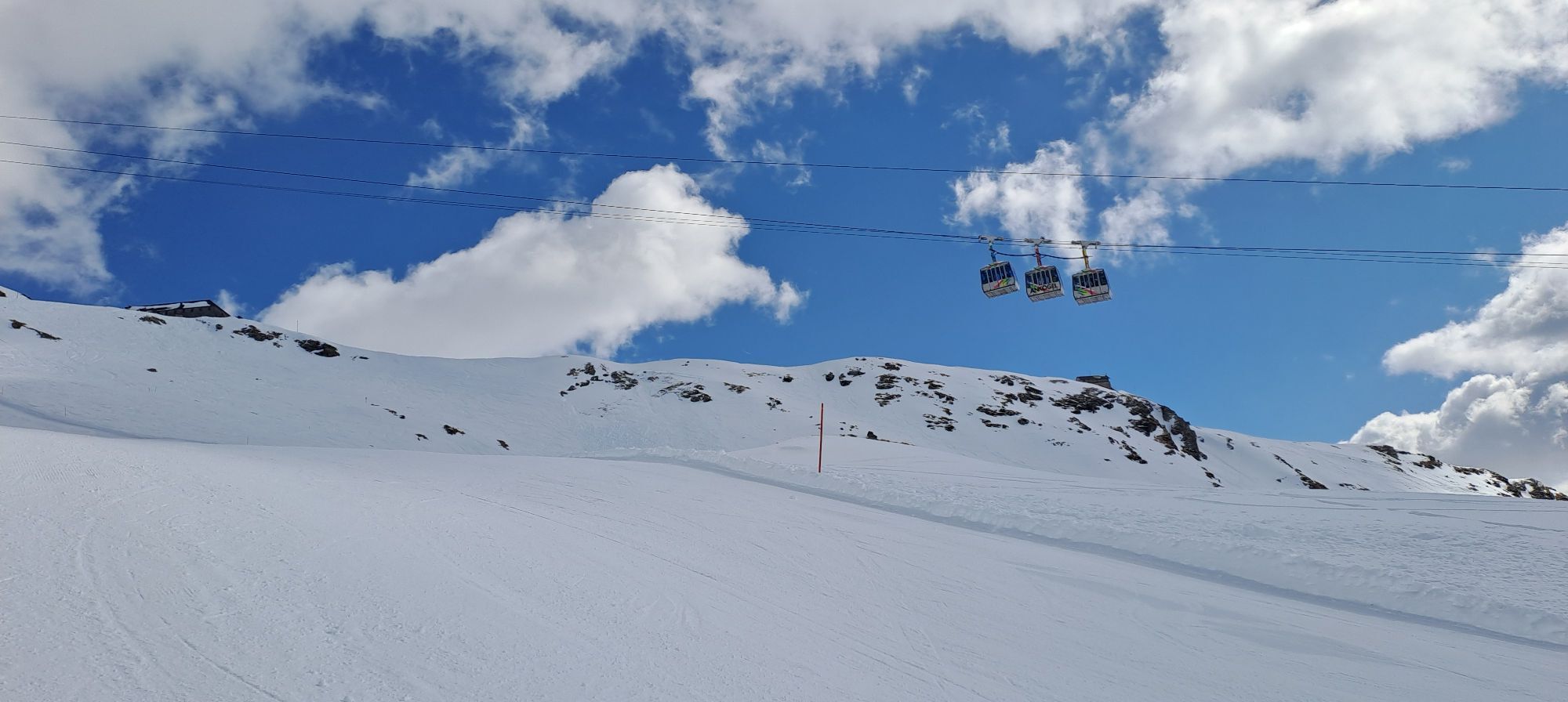
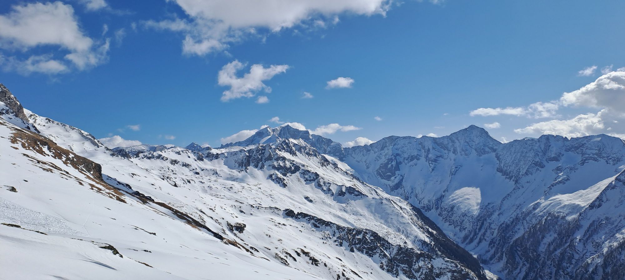
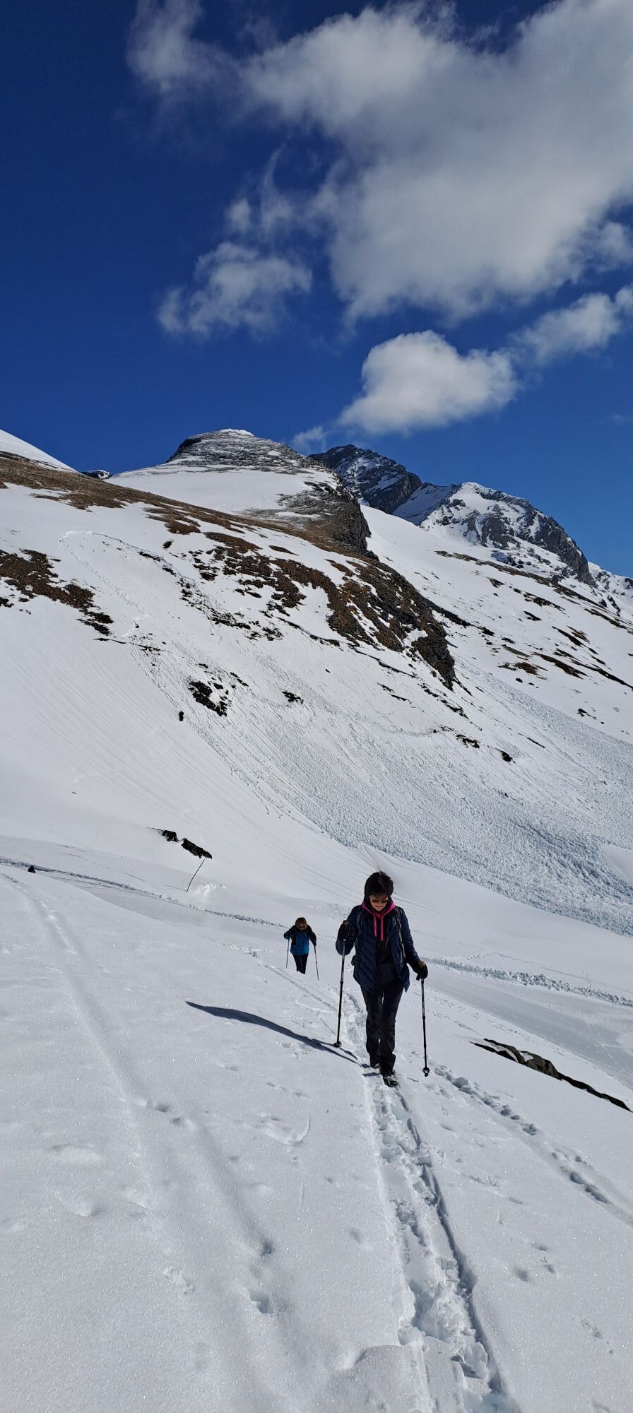
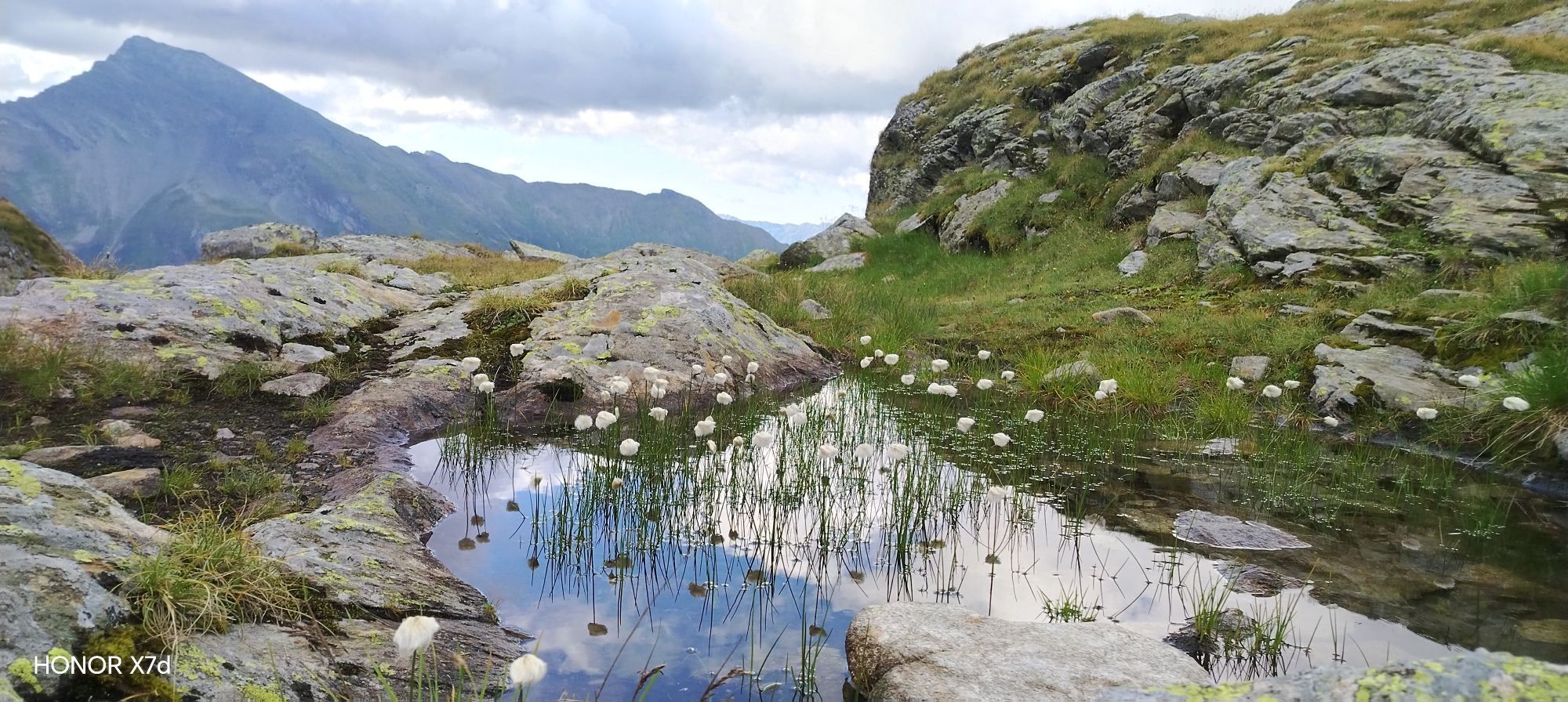
After the ascent with the Ankogelbahn, we start our hike at the mountain station. We first descend to the Hannoverhaus and then follow the marked "Göttinger Weg" No. 502. After the descent from the Etschlsattel, the well-marked path No. 502 leads us along the Tauern high path without much incline. After about 1.8 km, a short, secured rope passage needs to be climbed upwards. We pause briefly and enjoy the great panoramic view after the climb. The path leads us further towards Luggetörl. After a short, somewhat steeper descent, we leave the very panoramic trail behind. We cross a well-marked scree field until the last ascent to the Kleine Tauernsee is in front of us. The old Roman road is still clearly visible here. After a short distance, we reach the Kleine Tauernsee, which lies directly below the Tauern ridge. Fortified after a break, the descent follows the cultural hiking trail Roman road to the middle station via path No. 517. The layout of the historic Roman road is still clearly visible today. For the descent from the middle station, we take the Ankogelbahn again (observe departure times).
Áno
Áno
Good, sturdy footwear or hiking boots with profiled soles and possibly hiking poles. Warm clothing (consider alpine terrain, lake altitude up to 2,700 m), food and drink, backpack.
On some sections - especially around the mountain station - the path is partly narrow and runs over scree, so good surefootedness is required. Short secured rope passage after 1.8 km. In early summer, some sections may have snow - these require absolute surefootedness.
For the descent, be sure to observe the operating times of the Ankogelbahn!
Autobahn A10 – coming from Villach/Italy
Via Spittal/Millstättersee junction to the Lendorf exit, then over the B100 to the Mölltal exit, over the B106 to Obervellach. At the Staber car dealership in Obervellach, turn right and drive about 12.5 km on the B105 to Mallnitz towards the Ankogelbahn to the "Seebachtal" parking lot.
Federal road B106 – coming from Lienz
Via the B107 to Winklern, there turn right onto the B106, continue on the B106 to Obervellach. At the Staber car dealership in Obervellach, turn right and drive about 12.5 km on the B105 to Mallnitz towards the Ankogelbahn to the "Seebachtal" parking lot.
In the summer months, a daily hiking bus (line No. 5115) runs directly to the valley station of the Ankogelbahn and back.
Arrival by train to Mallnitz-Obervellach station. From there, continue with bus line No. 5115 to the stop at the valley station of the Ankogelbahn.
All timetables for bus & train (ÖBB, Postbus, and Carinthian lines) can be found under the Scotty-ÖBB timetable information.
After registration, a comfortable arrival (Mallnitz-Obervellach station) is also possible with the Carinthian station shuttle.
Here is the Carinthian station shuttle.
There are sufficient free parking spaces directly at the valley station of the Ankogelbahn.
1x daily free ascent with the Ankogelbahn up to the mountain station (Hannoverhaus) for Kärnten Card holders!
Information about the opening hours and operating times of the Ankogelbahn: https://www.ankogel-ski.at | Tel.: +434784632
Places to eat:
Hannoverhaus (below the mountain station)
Hochalmblick (middle station) - open from October
Raineralm (next to the valley station)
More information from the Hohe Tauern tourism region - the National Park region at www.nationalpark-hohetauern.at or +4348242700
Did you know...
... that the path to the Kleine Tauernsee follows the Tauern high path? The Tauern high path runs right through the core zone of the Hohe Tauern National Park along the main Alpine ridge and is considered one of the most challenging and beautiful east-west routes of the Alps. More information on the Tauern high path at https://tauernhoehenweg.at/
... that the Korntauern (also: Hoher Tauern) is a historically significant mountain pass that connects the Salzburg approach valley with the Carinthian Seebachtal. Post-glacial stone axe finds near the Korntauern show that this pass was used thousands of years ago. At the latest from the late Middle Ages, a lively mule traffic developed over both passes (Mallnitzer Tauern and Korntauern).
The descent from the Kleine Tauernsee to the middle station leads along the historic Roman road. The old Roman road is partly still clearly visible.



Webové kamery z prehliadky
Získajte prehľad
Vždy naživo na mieste s viac ako 9 500 webovými kamerami. bergfex Ako používateľ Pro si teraz môžete pozrieť príslušné webové kamery pre mnohé zájazdy v aplikácii zájazdy z. Môžete si tak priamo prezerať aktuálne podmienky.
Aktivity počas prehliadky
-

Mallnitz, Kärnten/Österreich
30.07.2026 – Horská turistika -

Mallnitz, Carinthia/Austria
22.07.2026 – Turistika -

Mallnitz, Kärnten/Österreich
18.07.2026 – Turistika -
Mallnitz, Kärnten/Österreich
07.07.2026 – Turistika -
Mallnitz, Kärnten/Österreich
05.07.2026 – Turistika -

Mallnitz, Kärnten/Österreich
18.08.2025 – Turistika -

Mallnitz, Kärnten/Österreich
18.08.2025 – Turistika -
Mallnitz, Kärnten/Österreich
17.08.2025 – Turistika
Obľúbené výlety v okolí
-
4,6
Gasteiner Höhenweg von Bad Gastein nach Bad Hofgastein
svetloTuristika 8,58 km -
4,5
Groppenstein Gorge Obervellach
strednáTuristika 2,99 km -
5,0
Silberpfennig, Salzburger Land/Österreich
strednáTuristika 13,8 km -
4,5
Mountain route from the Kötschachtal to the natural jewel Reedsee
strednáTuristika 12,5 km -
4,9
Wanderung zur Schwussner Hütte
svetloTuristika 8,07 km -
4,4
"Elendrunde" Kleinelend Valley - Zwischenelendscharte - Großelend Valley
strednáTuristika 21,9 km -
4,7
Kölnbreinspeicher bis Osnabrücker Hütte
svetloTuristika 15,9 km -
5,0
Ankogelgruppe - Säuleck 3.086m - Detmolder Weg mit zu viel Schnee
ťažkéVysoké turné 23 km -
4,7
Hüttenkogel - Graukogel von der Bergstation
strednáHorská turistika 4,68 km -
4,6
Bahnhof Bad Hofgastein nach Bahnhof Bad Gastein
strednáTuristika 13,0 km
Turistika a stopovanie


Nenechajte si ujsť ponuky a inšpiráciu na ďalšiu dovolenku
Vaša e-mailová adresa bol pridaný do poštového zoznamu.





