







Elberfelderhütte – Langtalseen - circular route
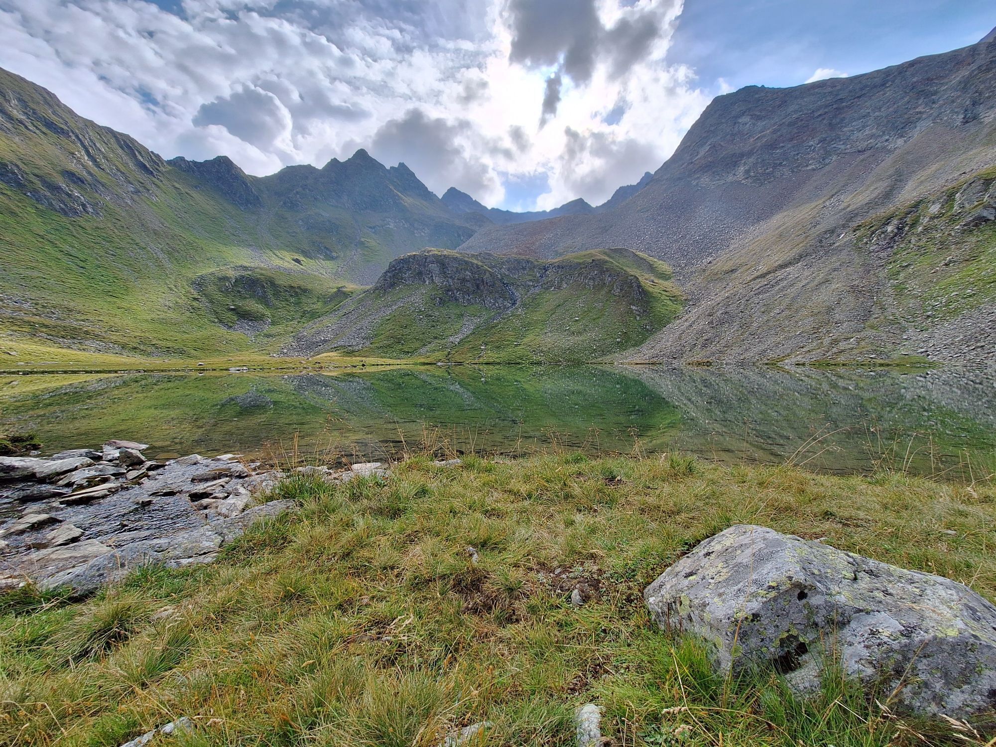
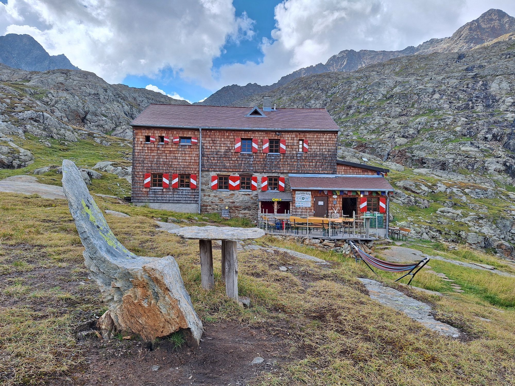
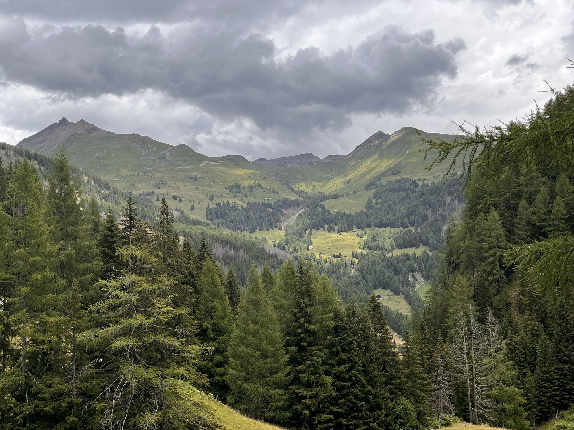
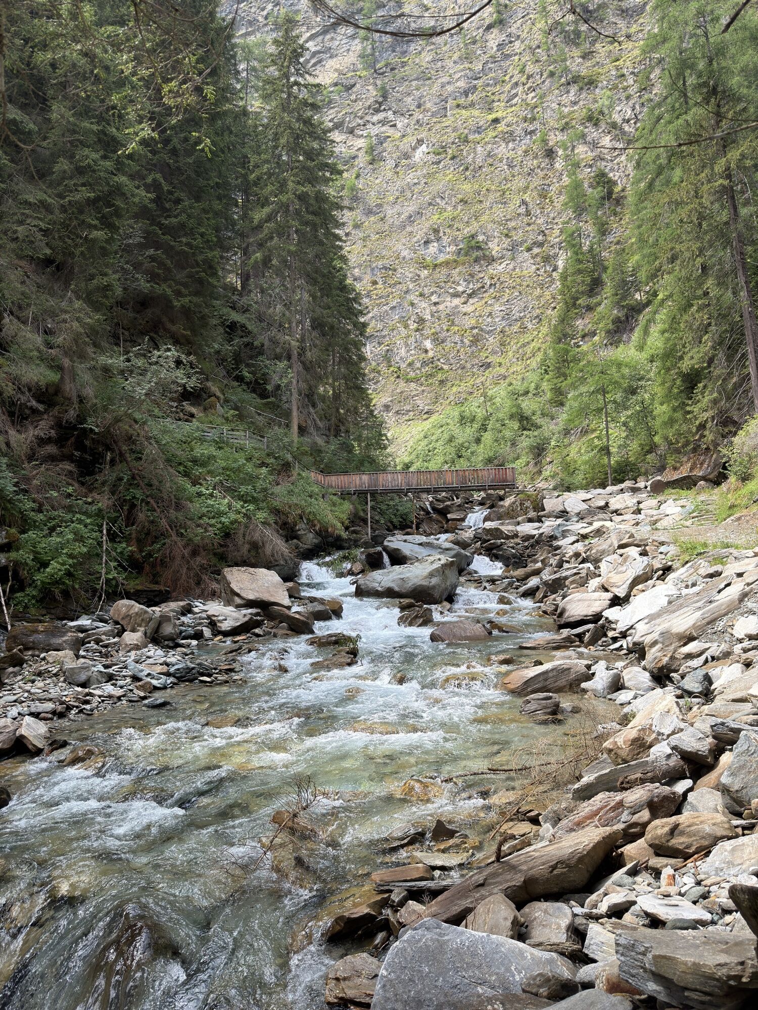
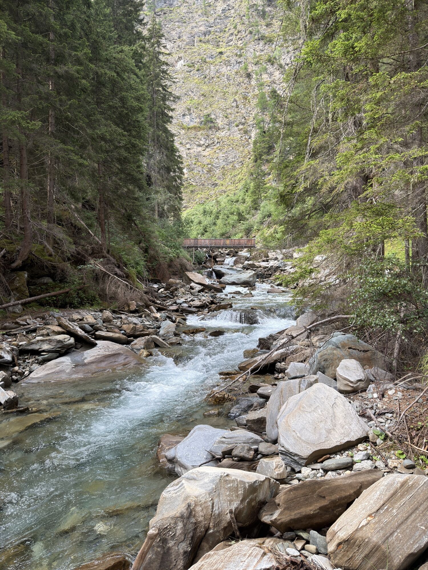
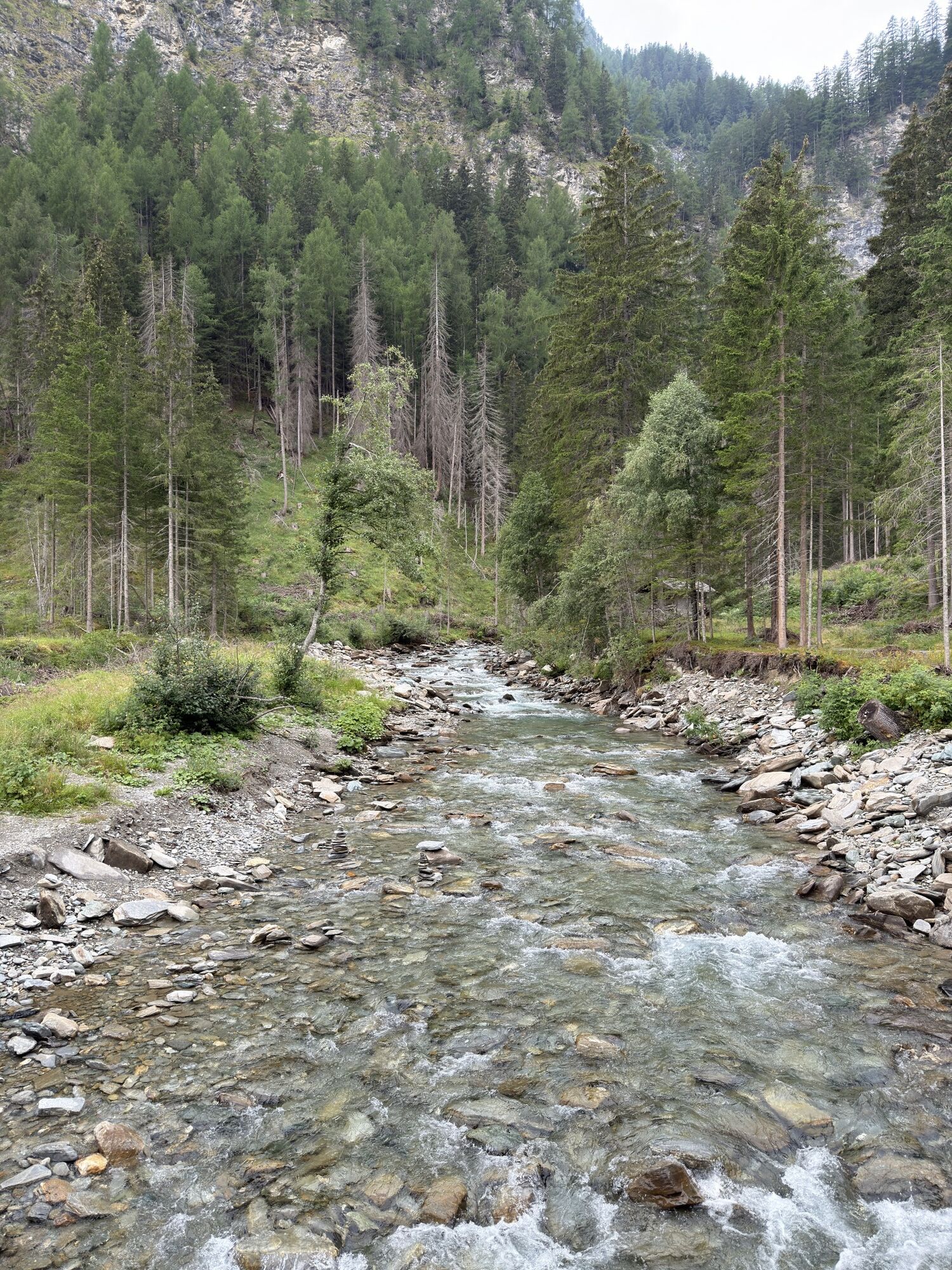
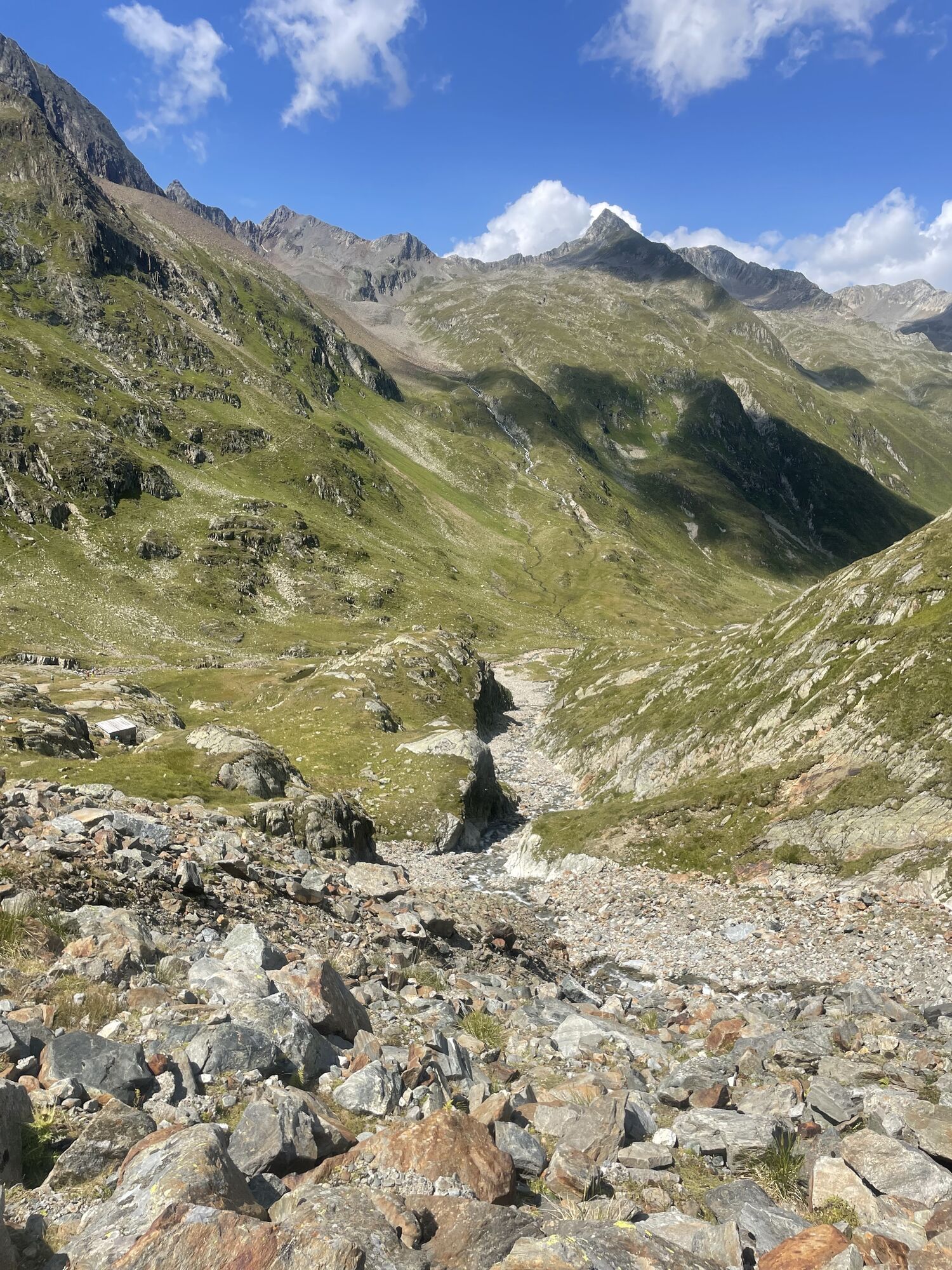
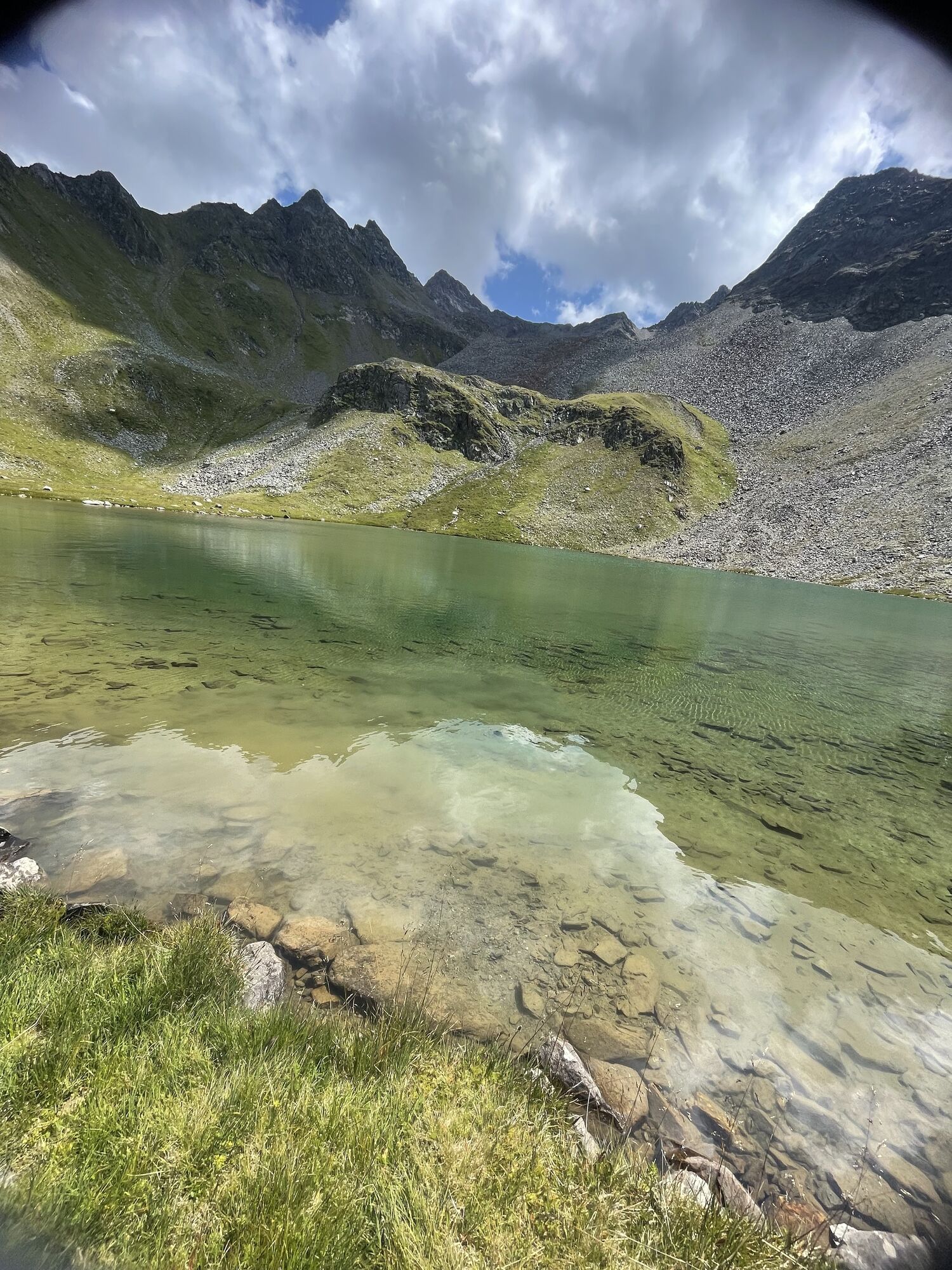
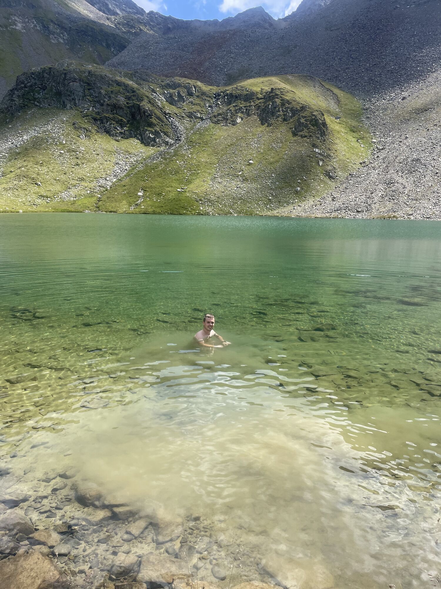
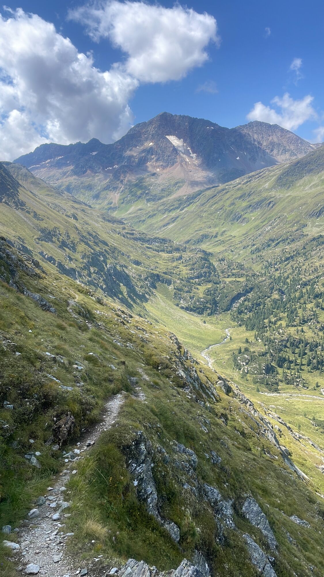
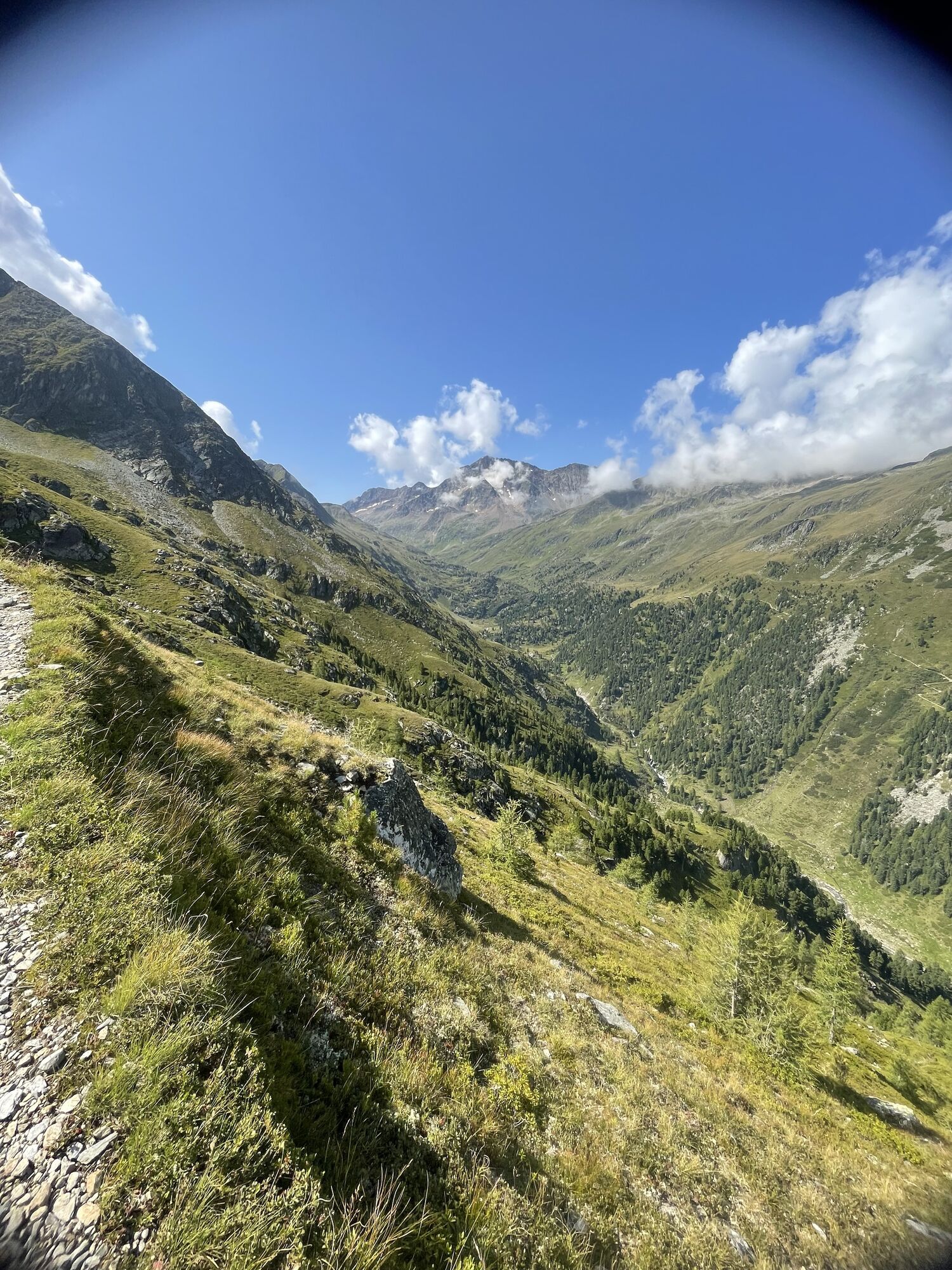
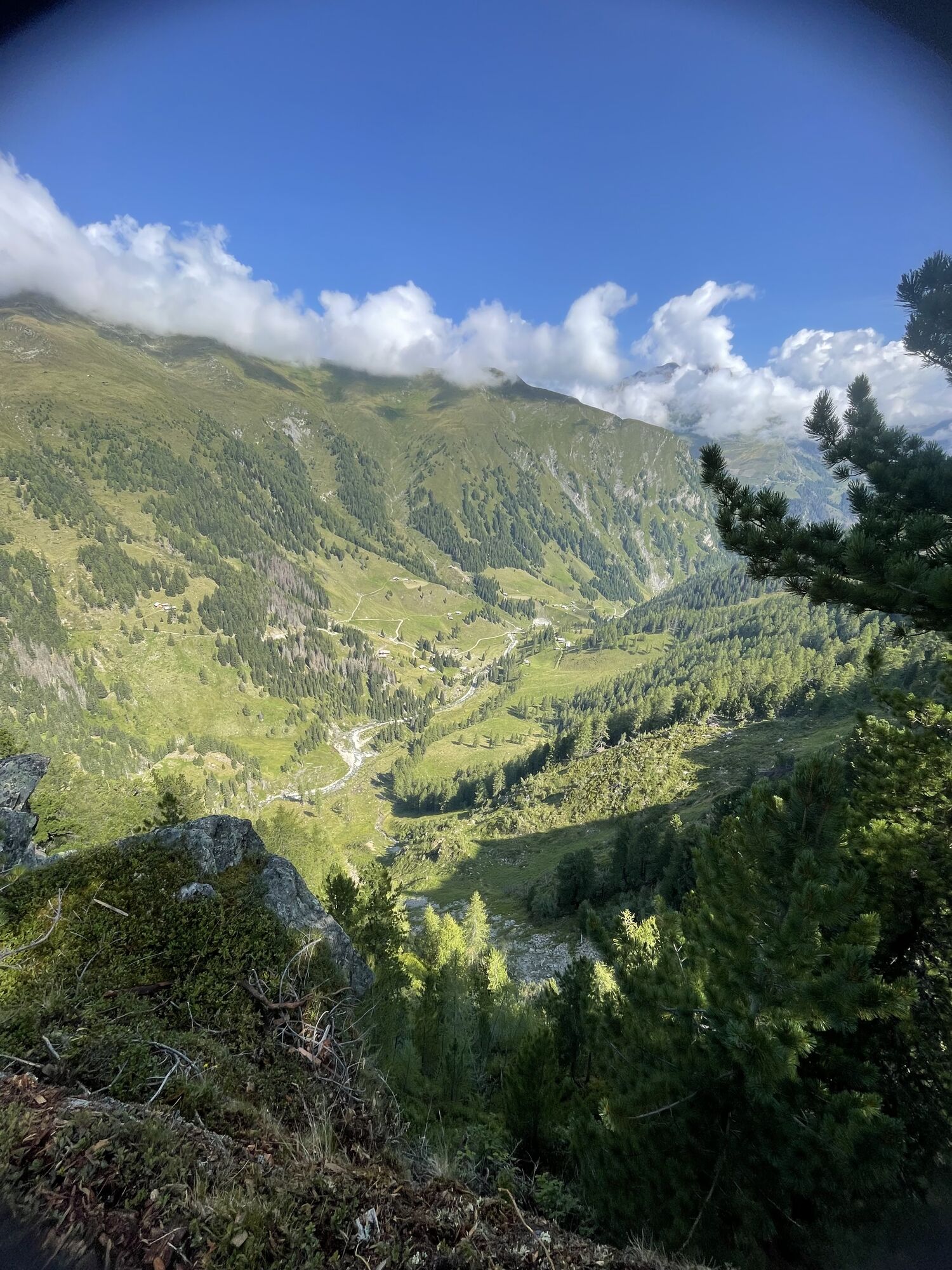
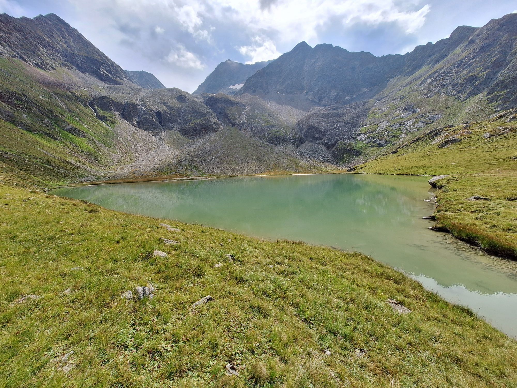
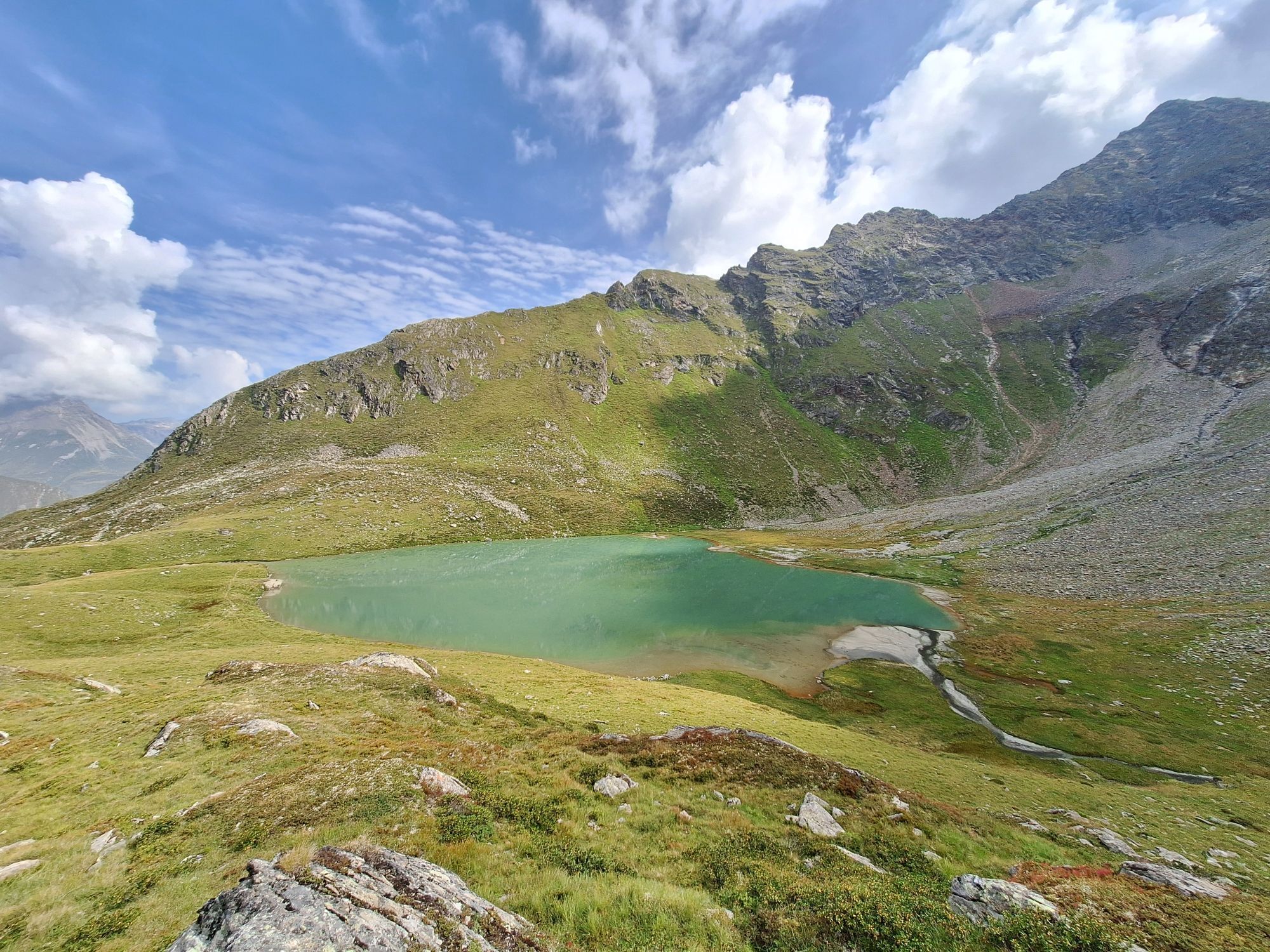
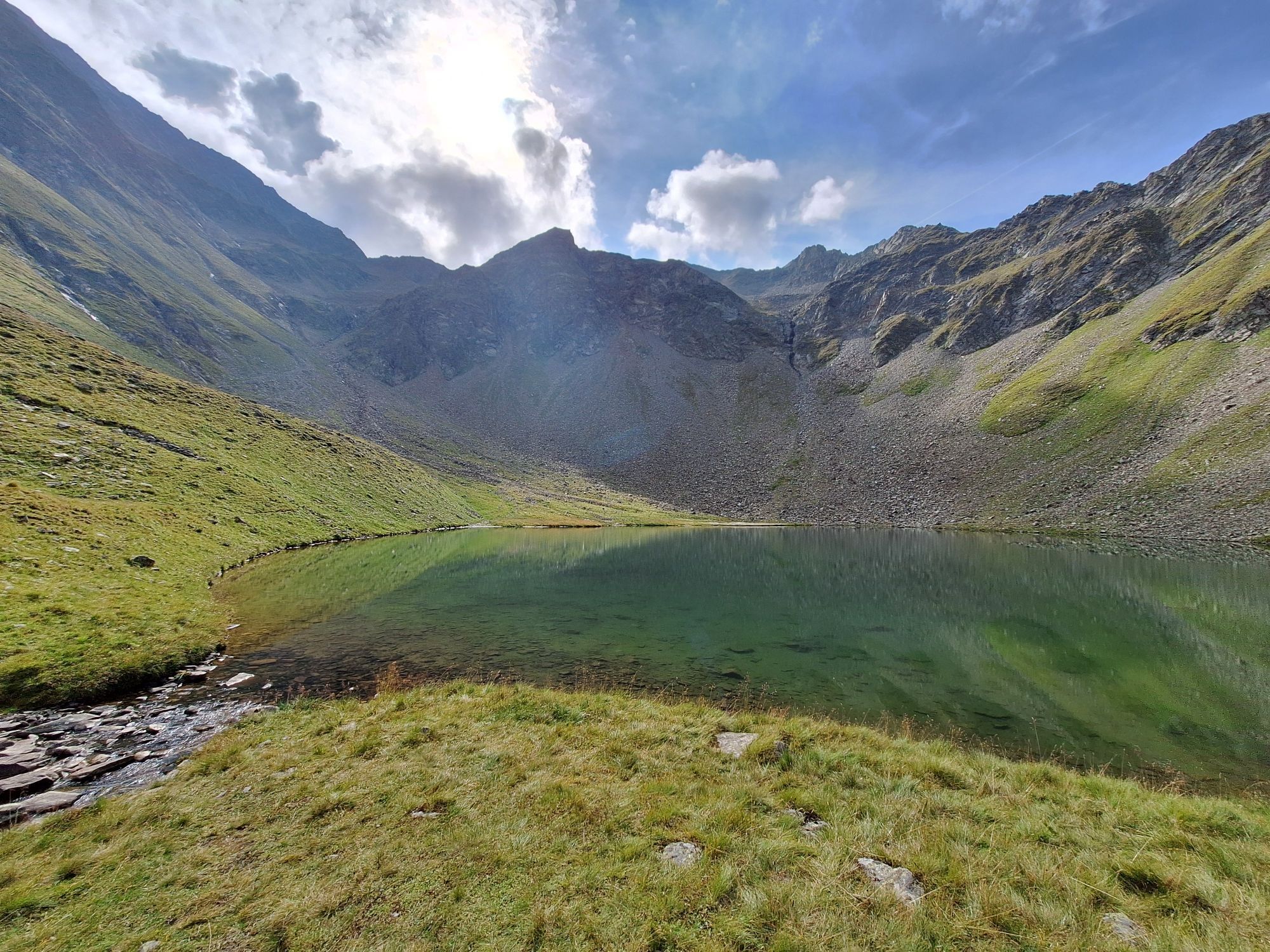
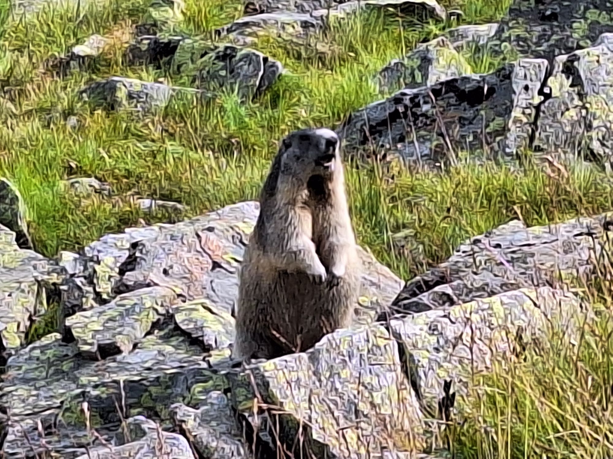
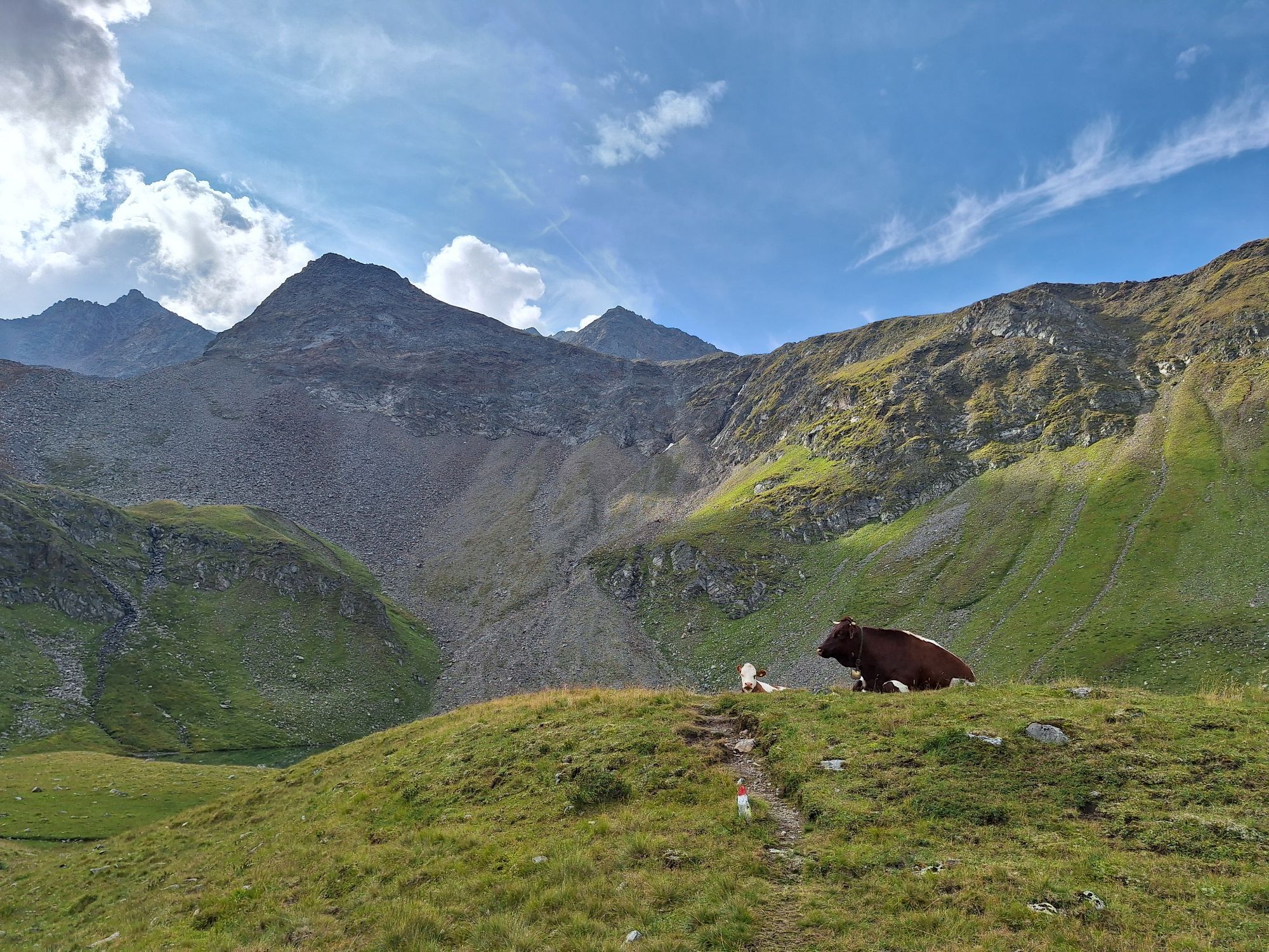
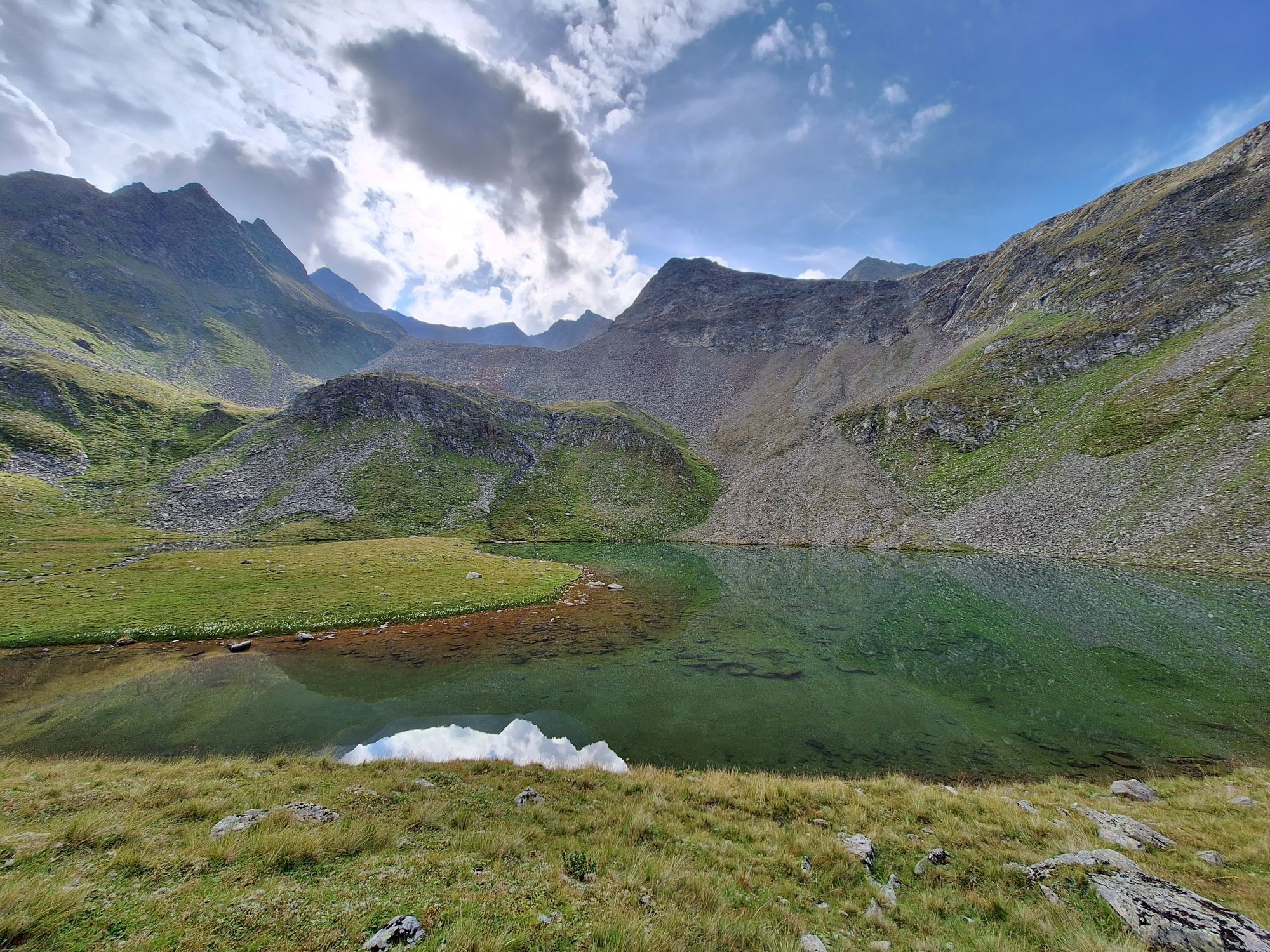

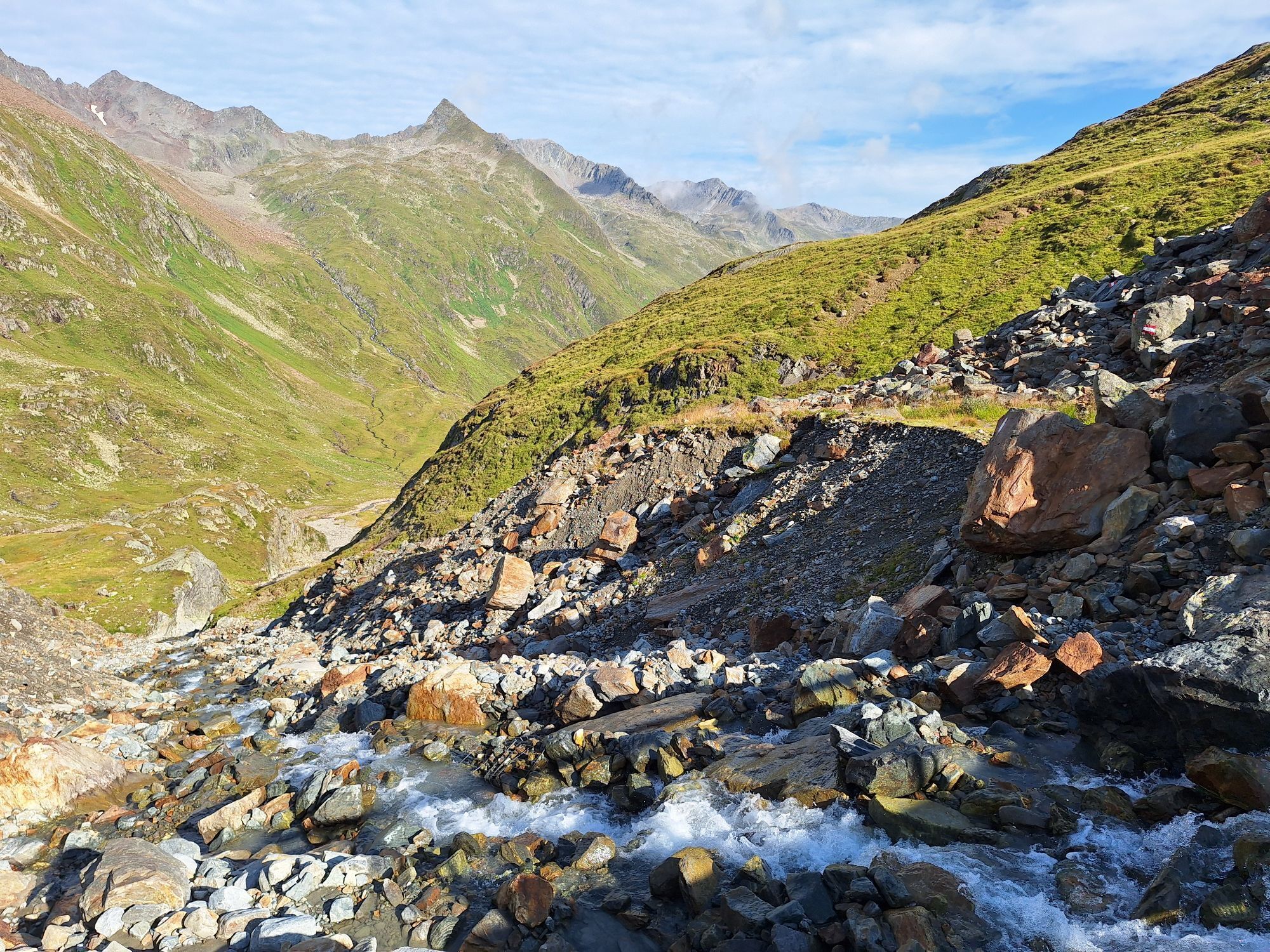
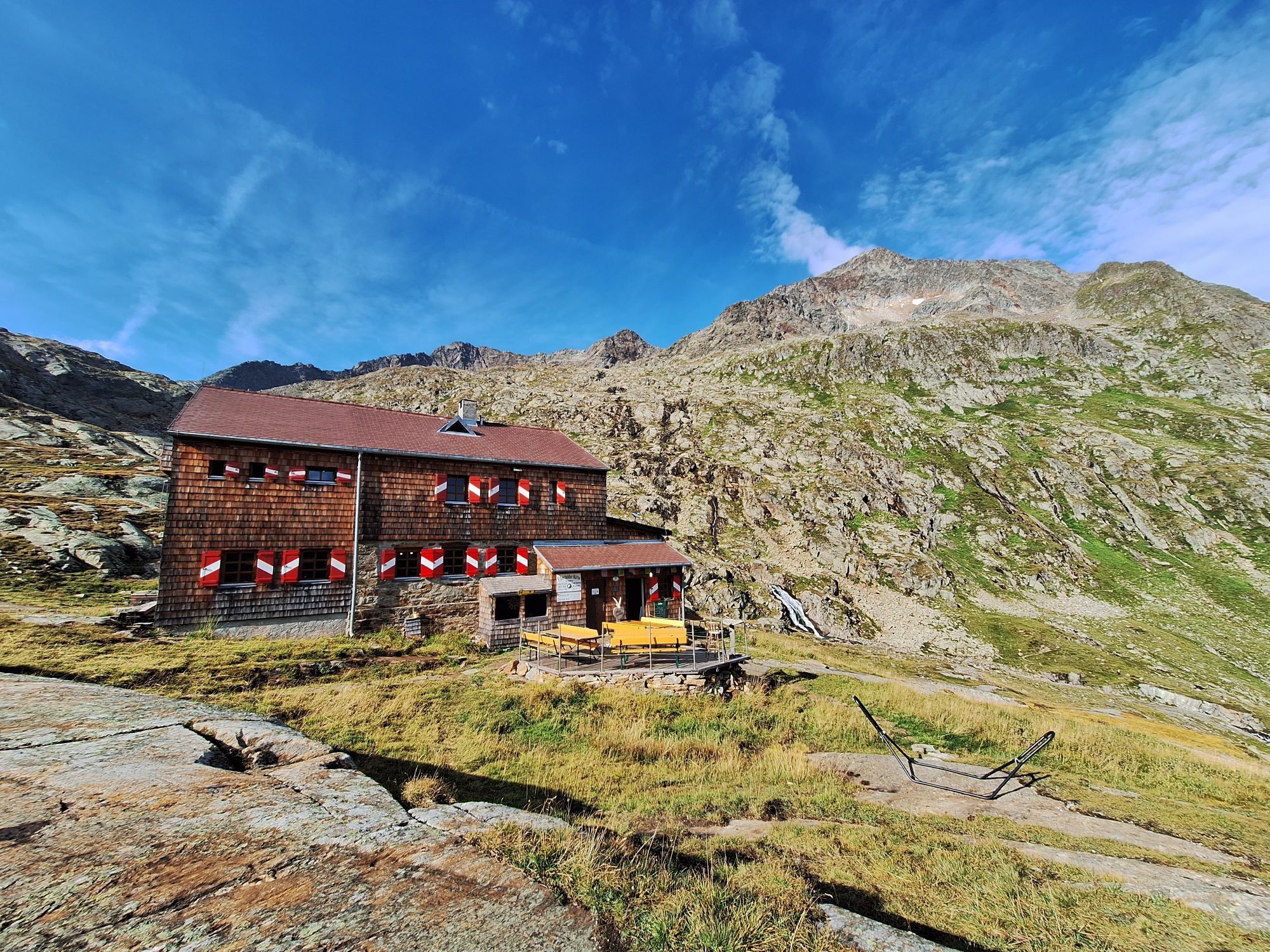
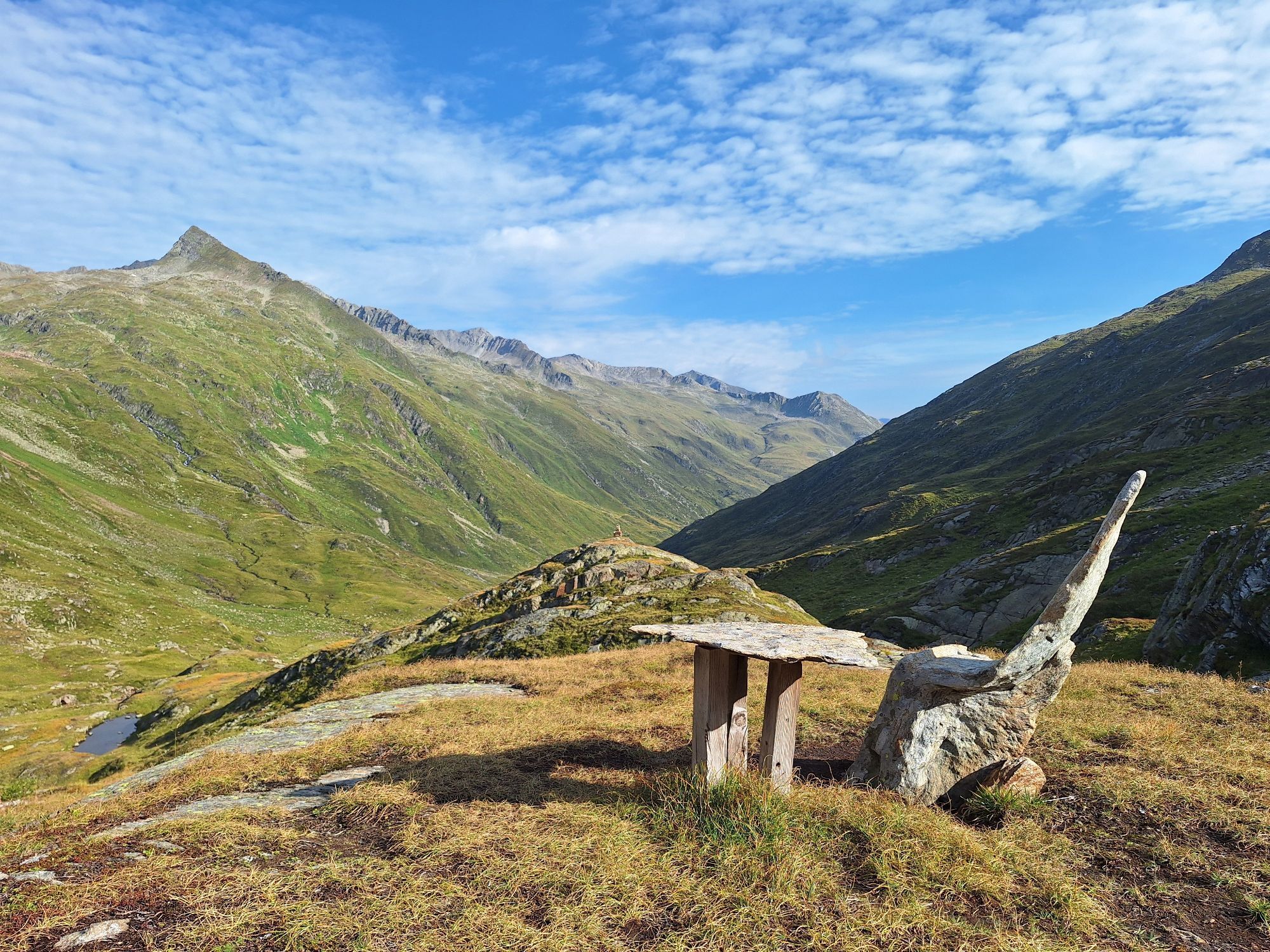
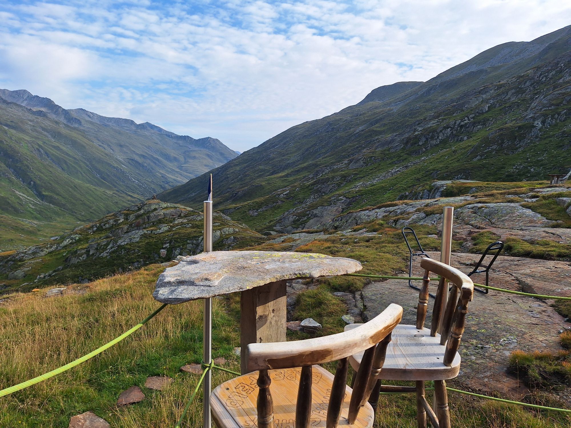
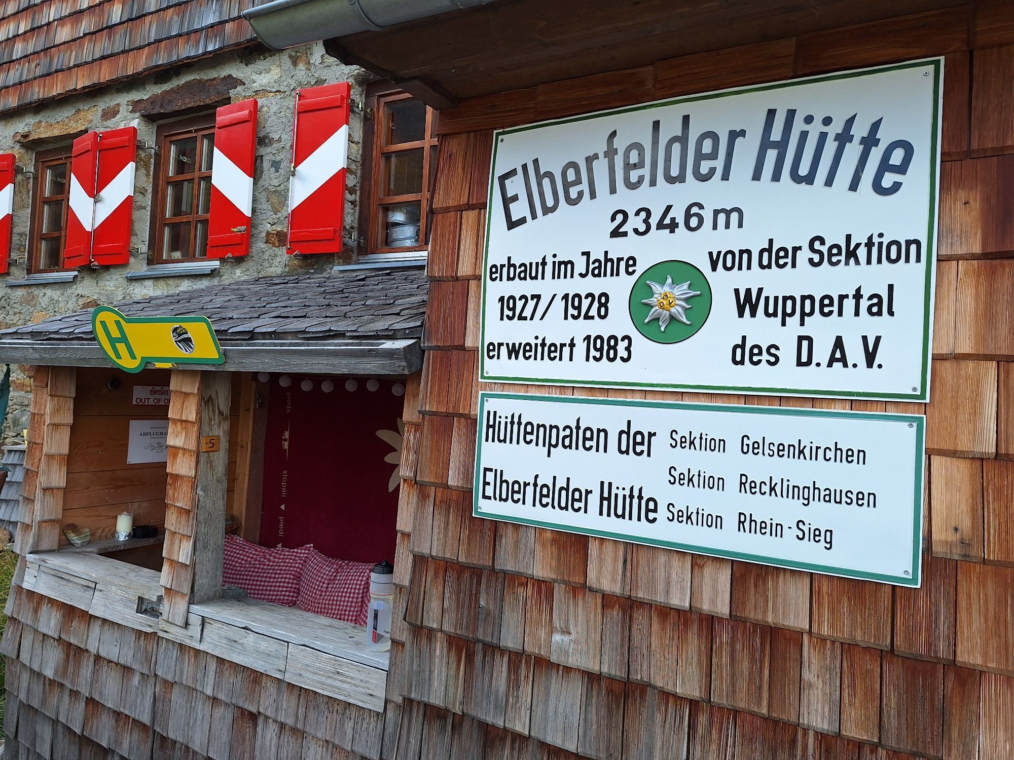
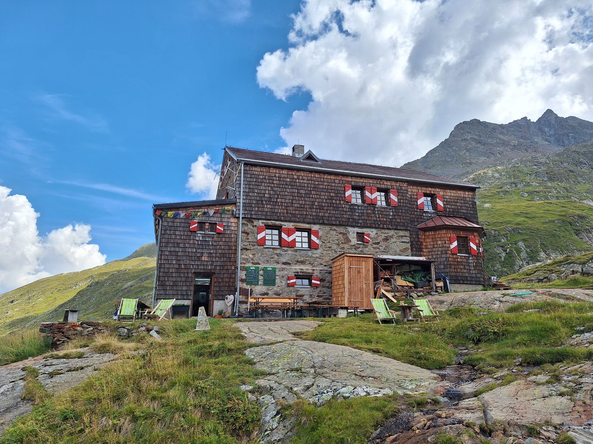
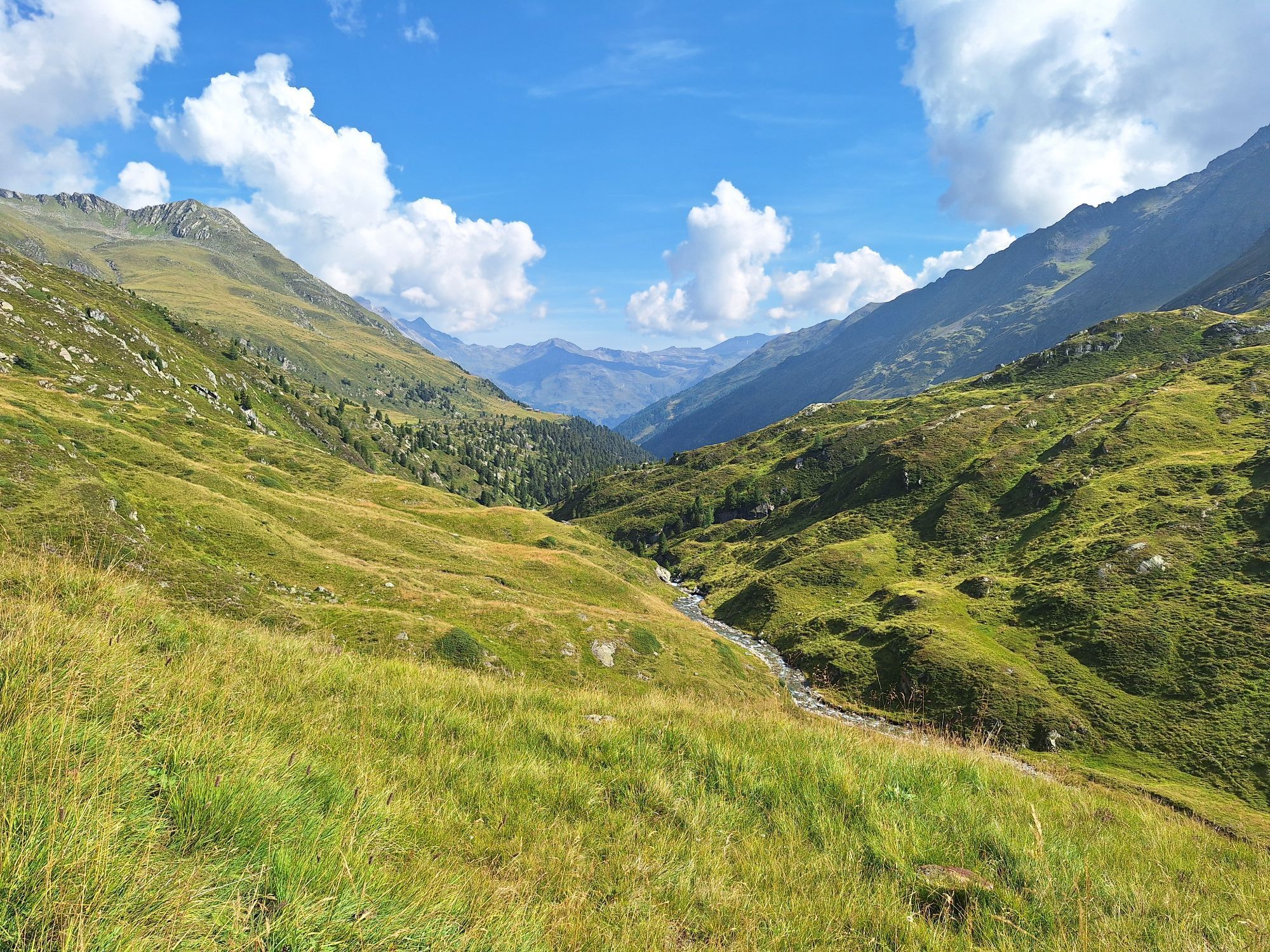
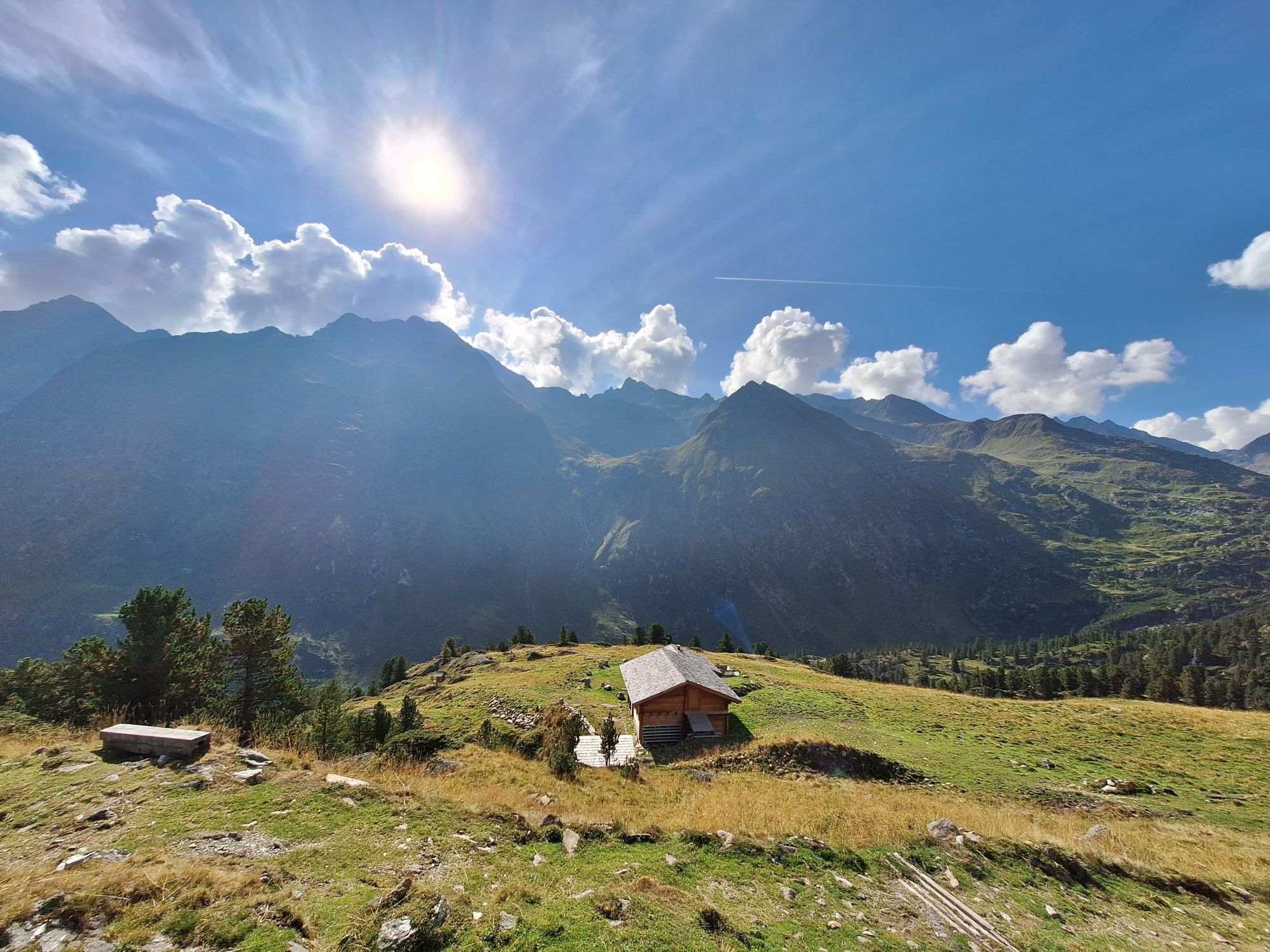
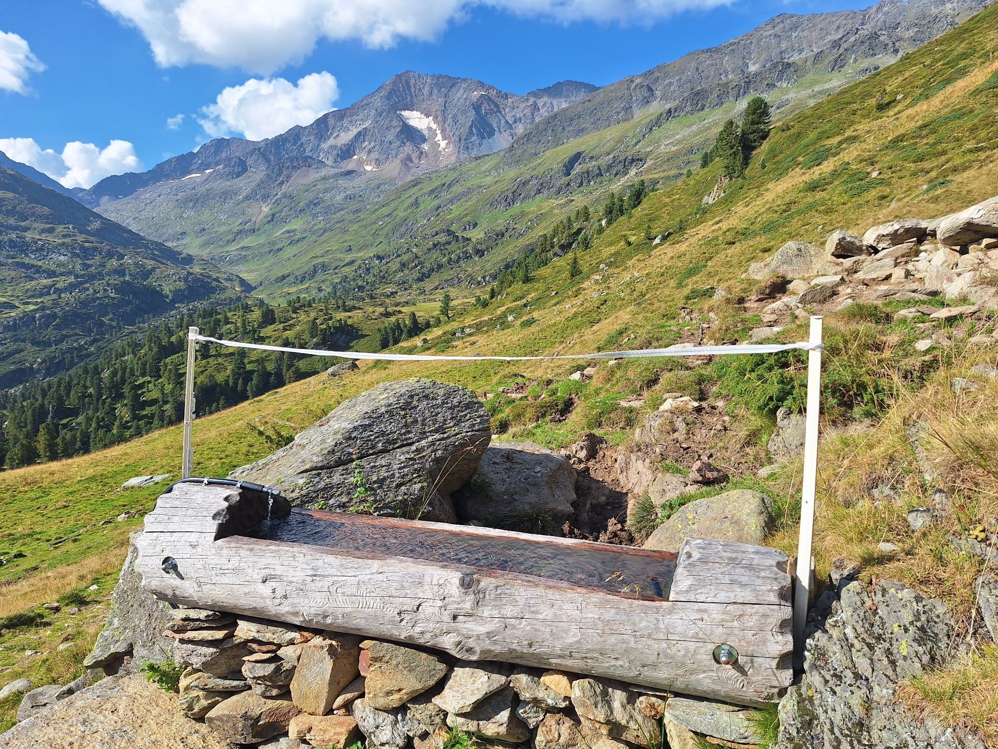
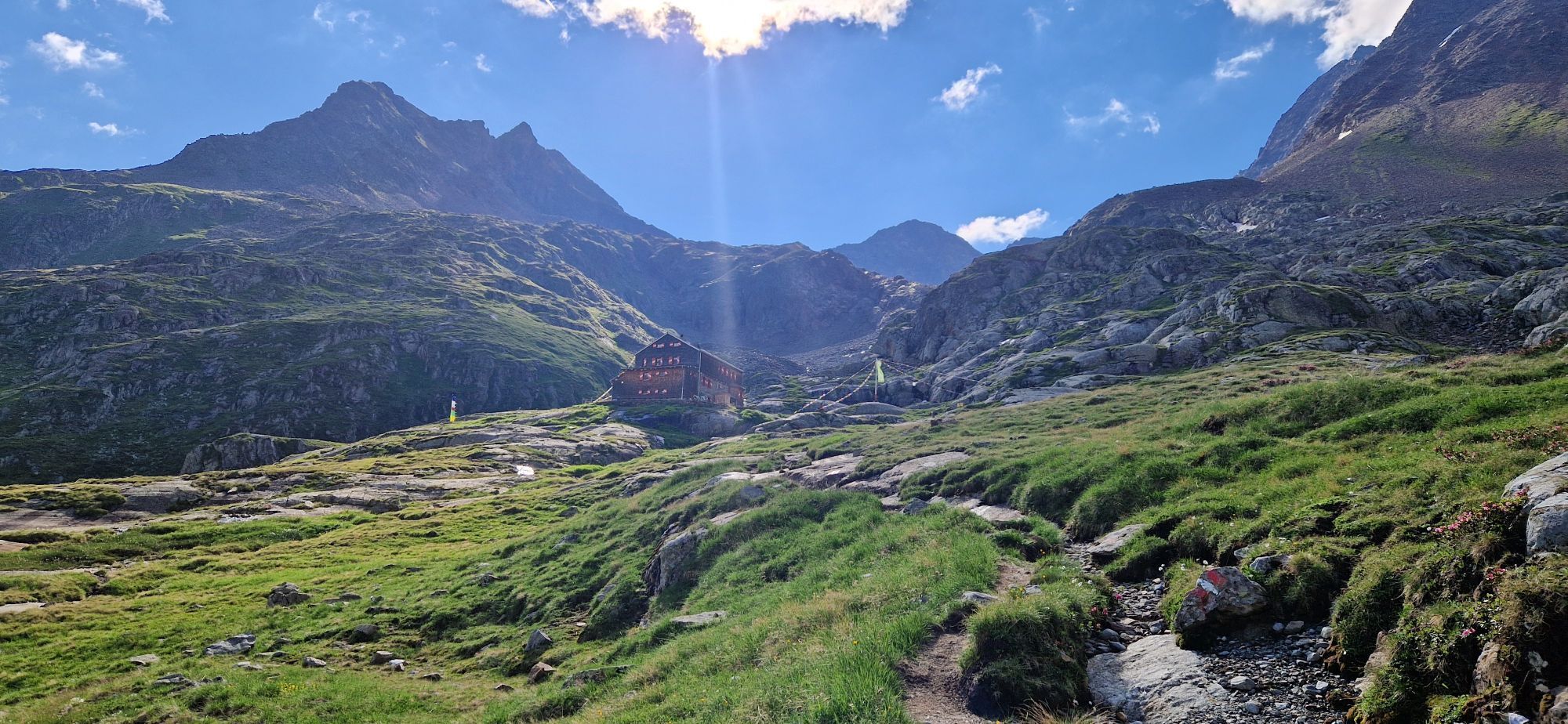
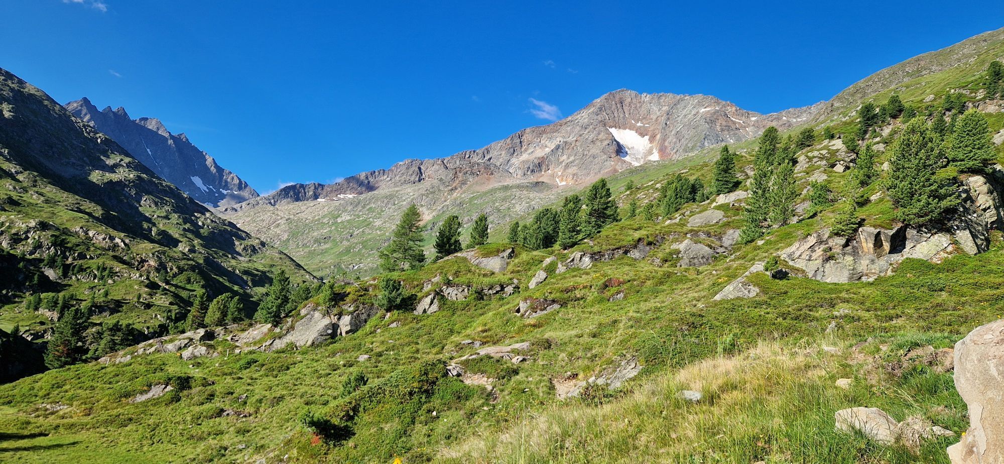
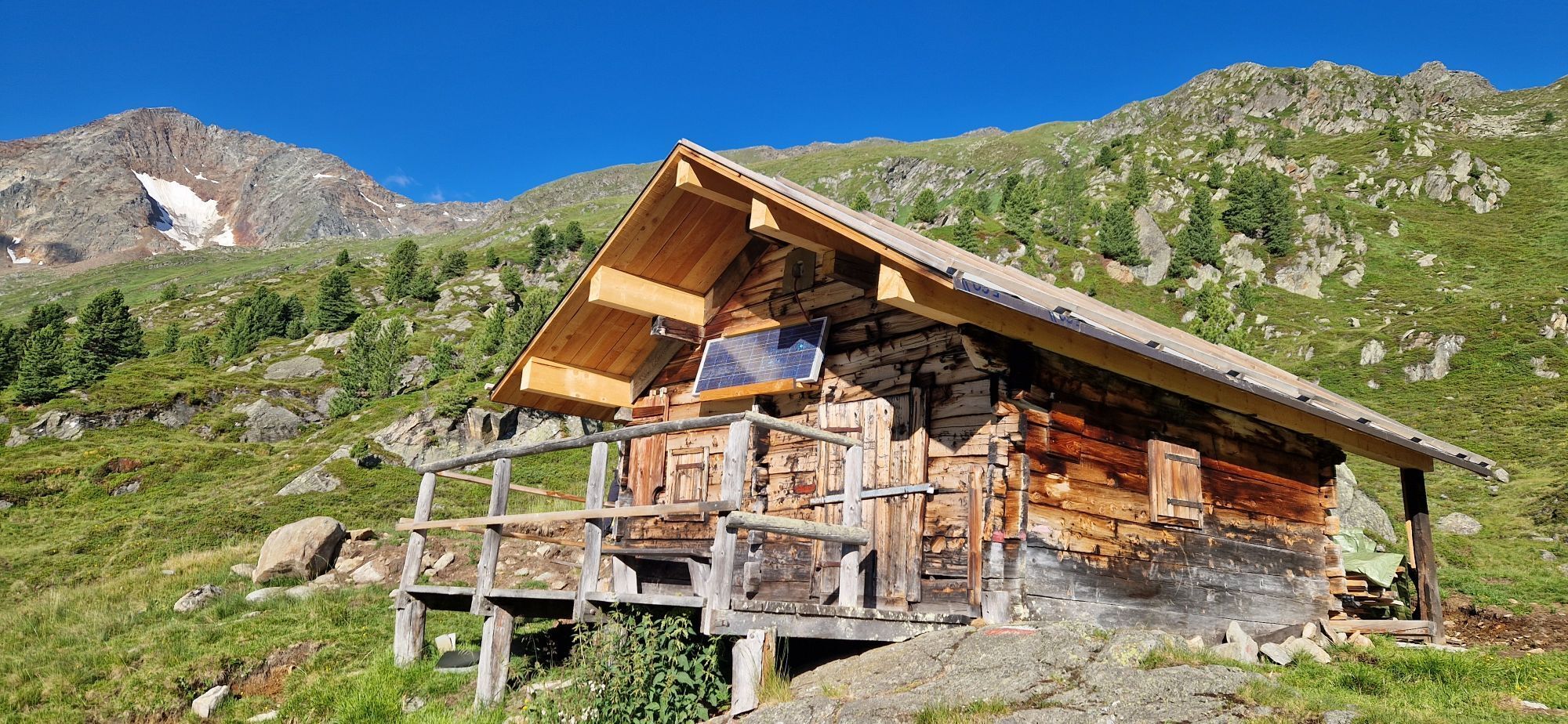
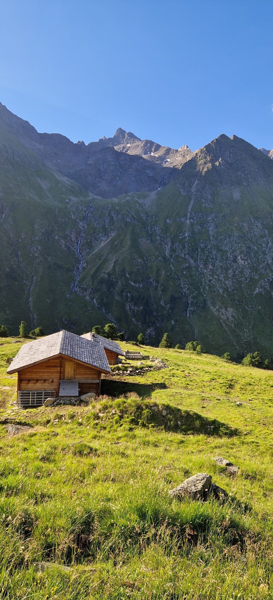
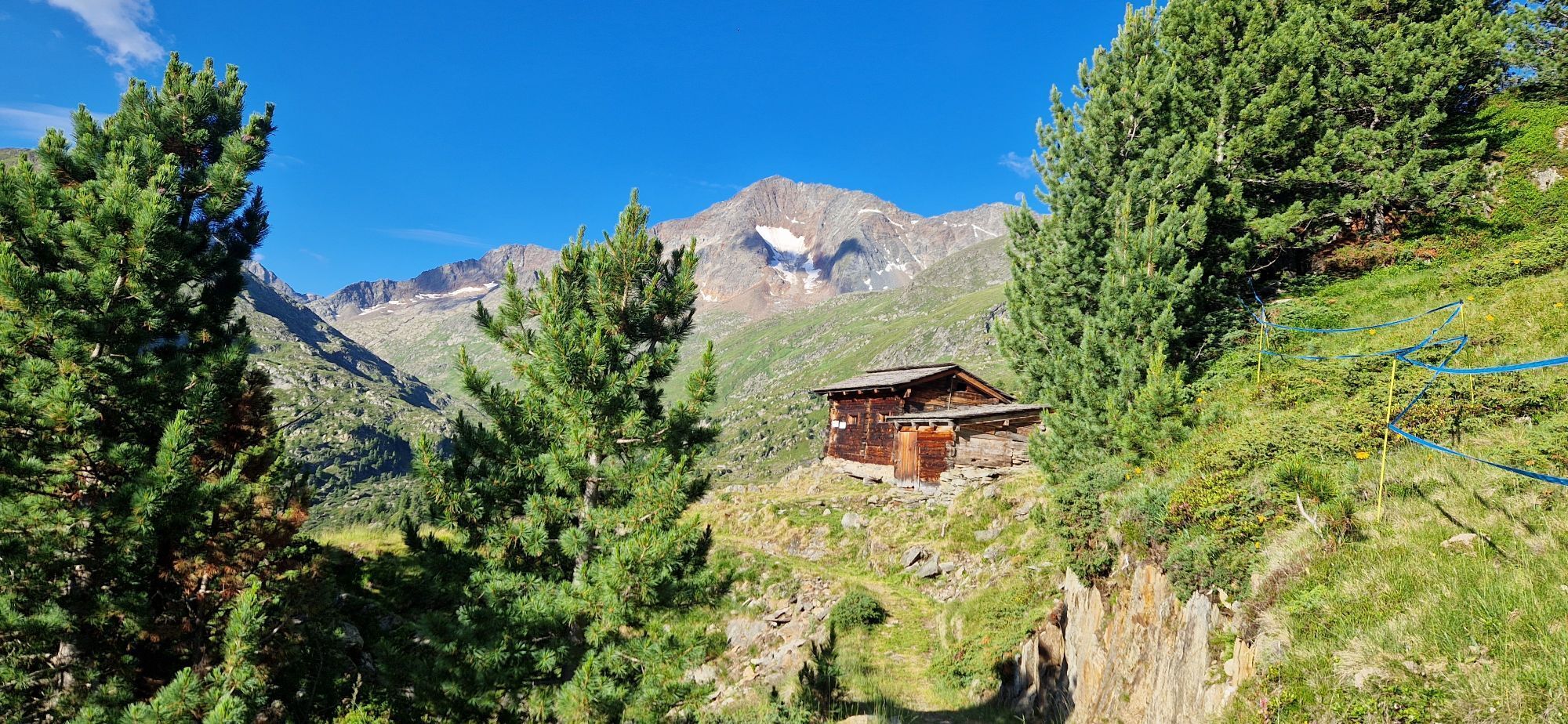
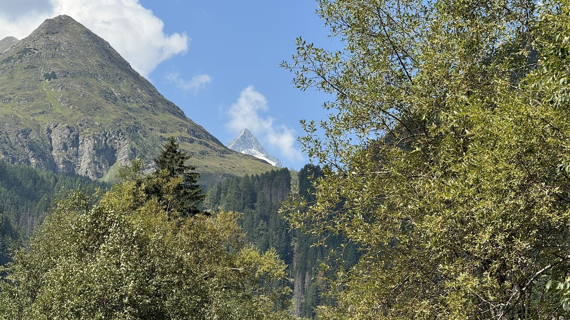
The route through the Gößnitztal to the Elberfelderhütte (2,346 m) and then back via a magnificent high-altitude trail, which runs along the Langtalseen - strung together like a string of pearls - is one...
The route through the Gößnitztal to the Elberfelderhütte (2,346 m) and then back via a magnificent high-altitude trail, which runs along the Langtalseen - strung together like a string of pearls - is one of the most beautiful mountain hiking trails in the Eastern Alps overall!
An overnight stay at the Elberfelderhütte is strongly recommended for this route, and less experienced hikers should attempt this great tour accompanied by a mountain guide.

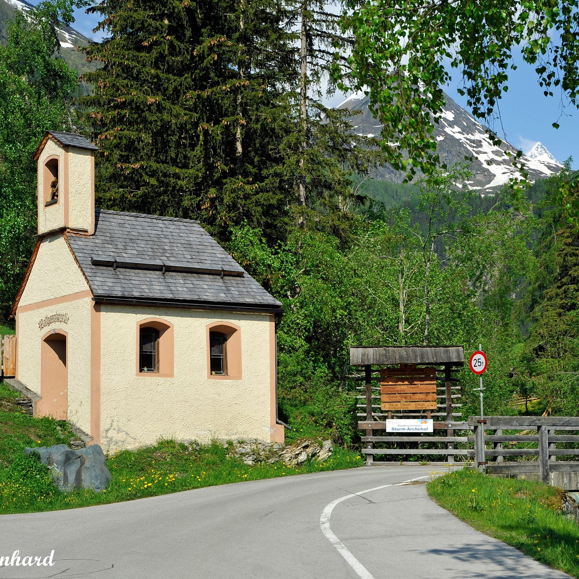

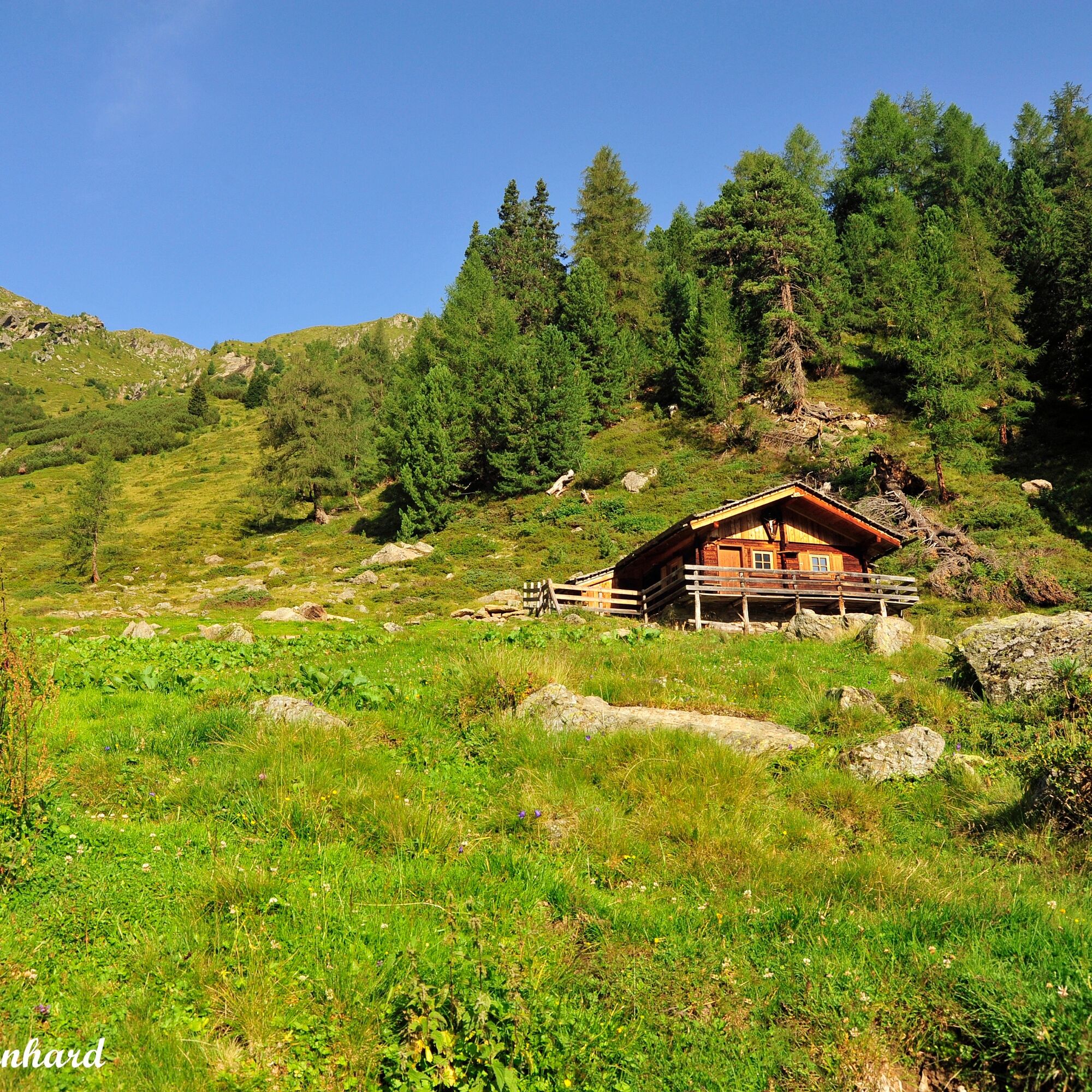
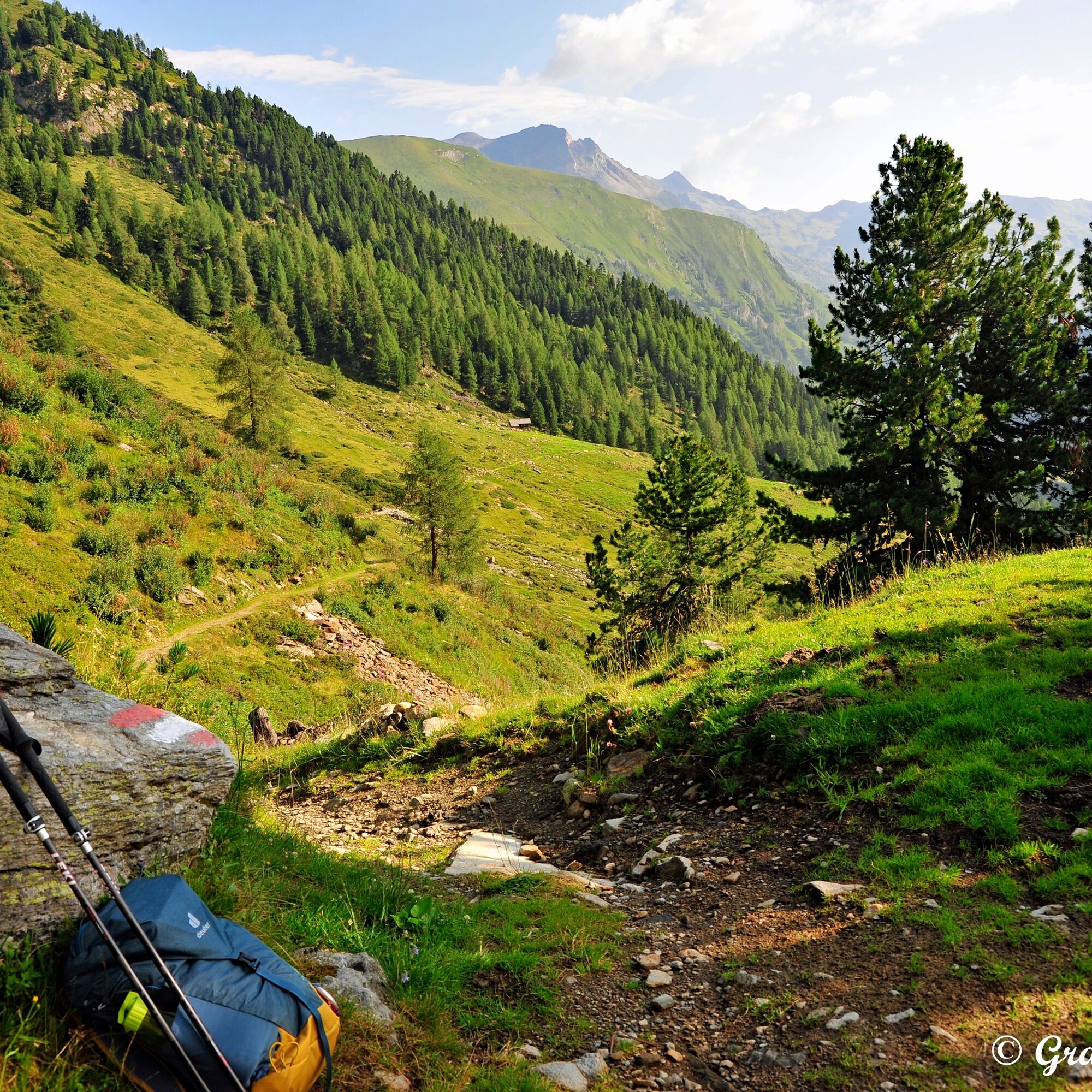
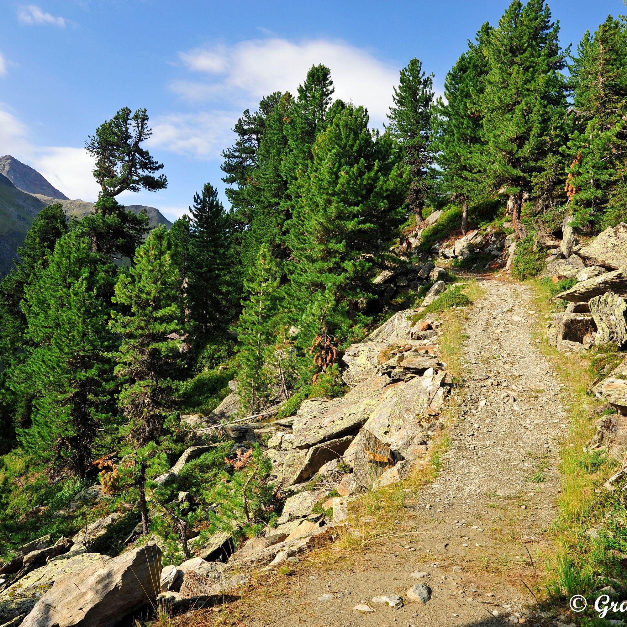
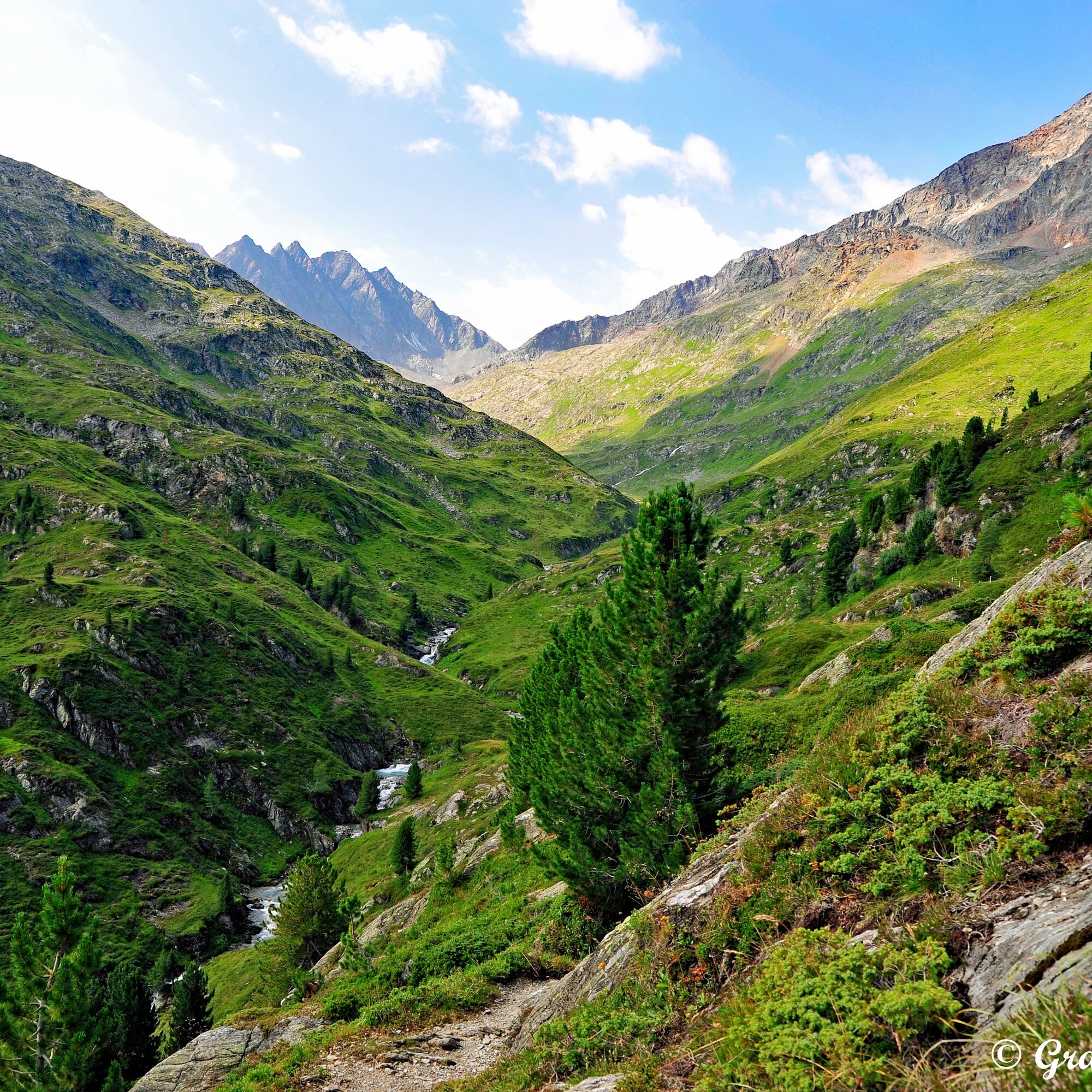
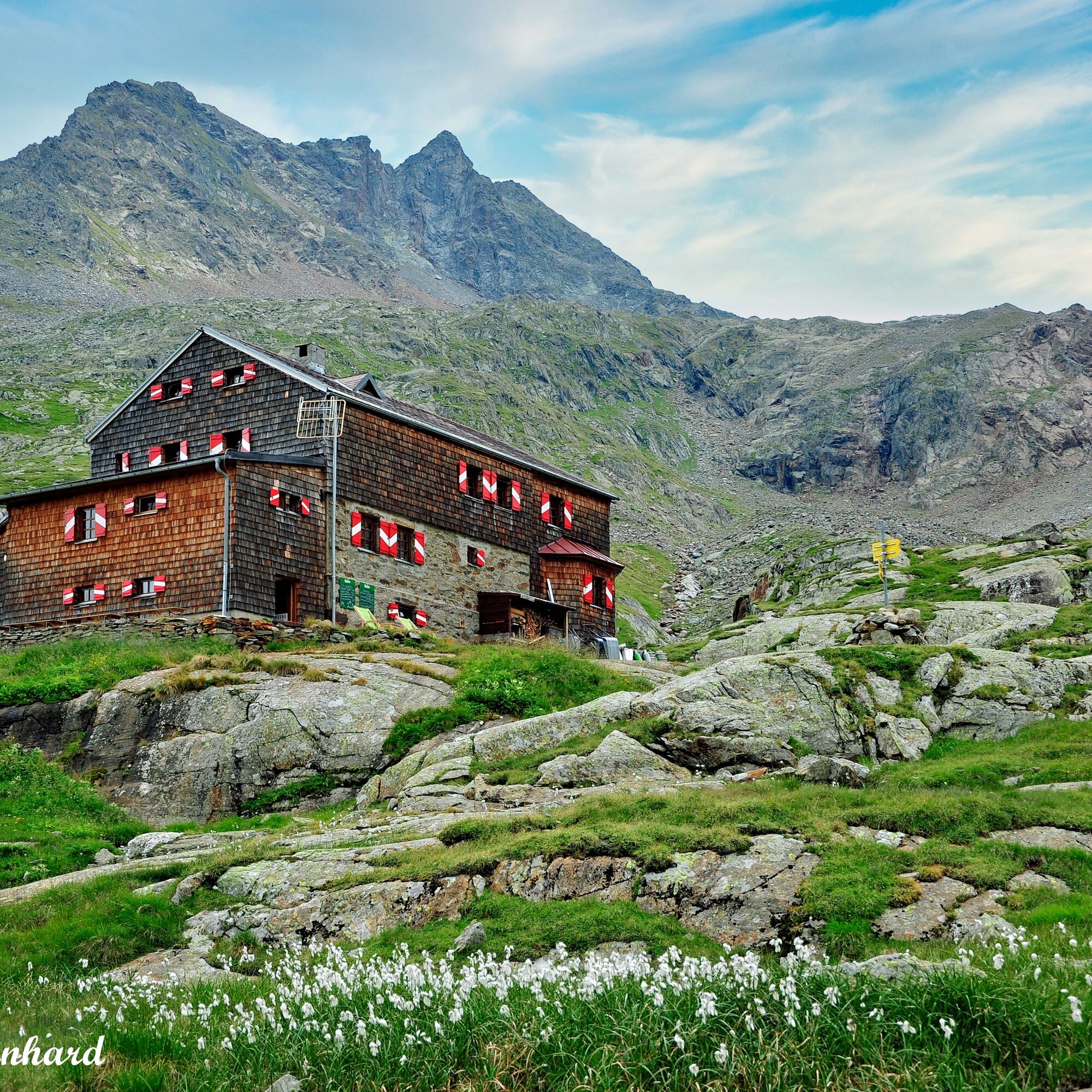
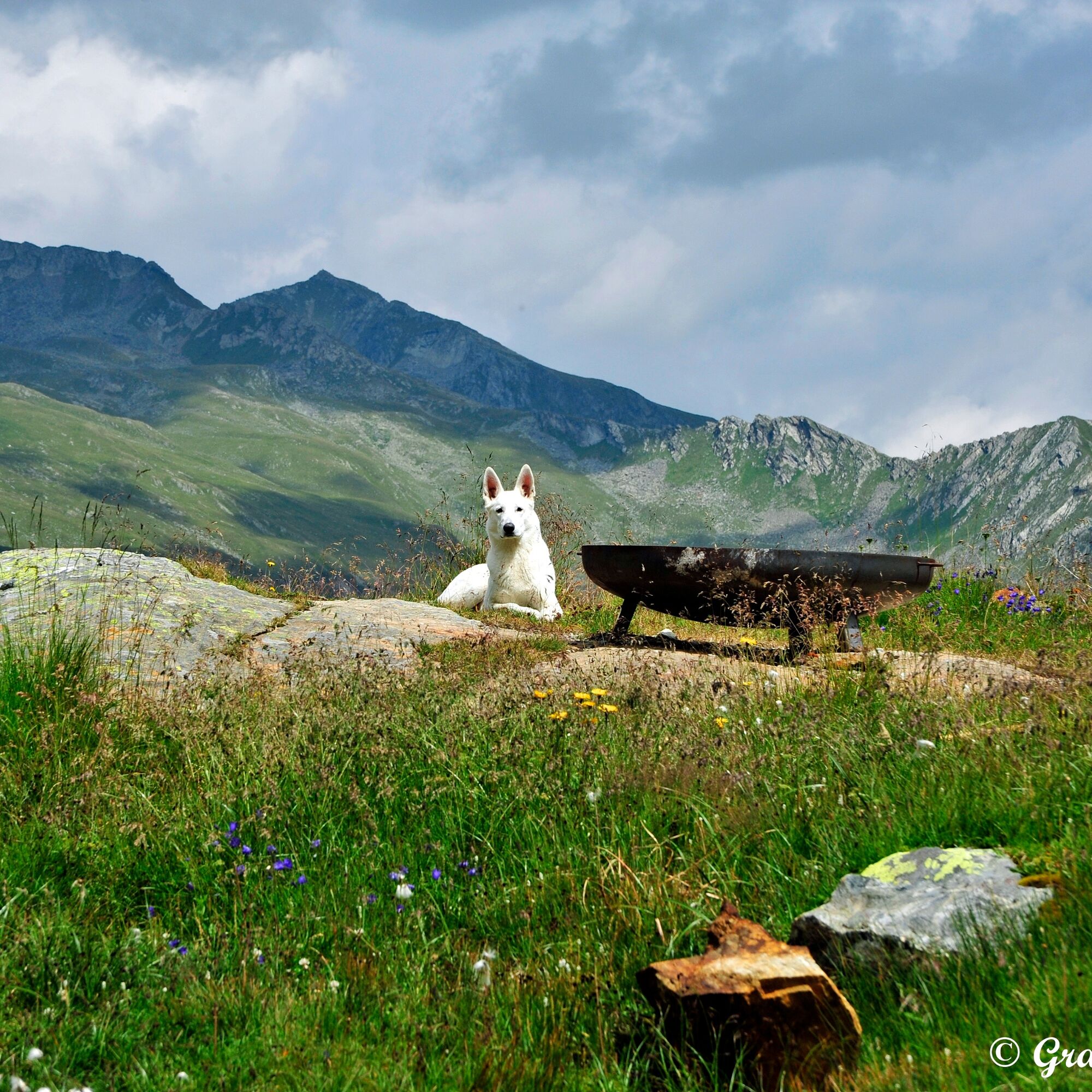
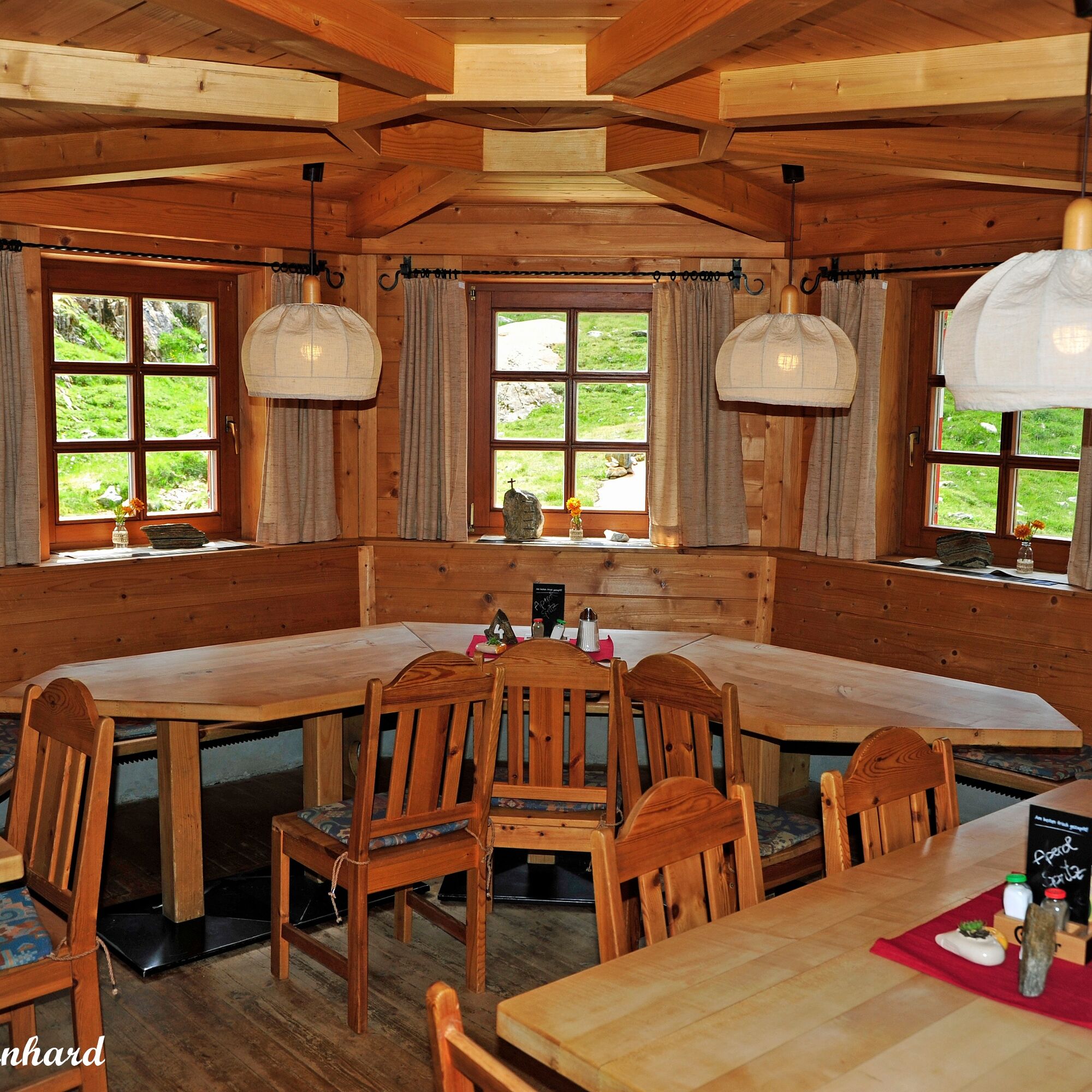
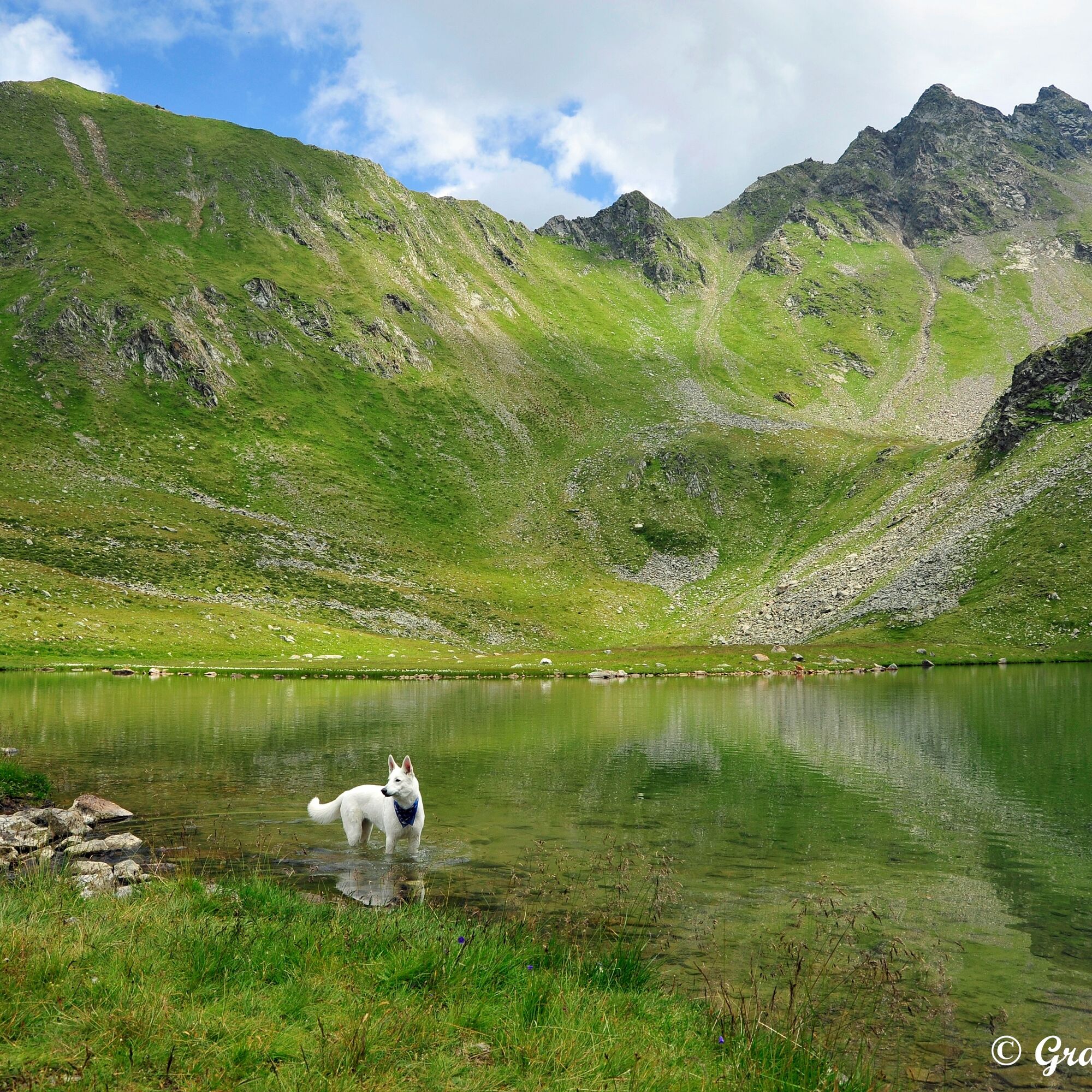
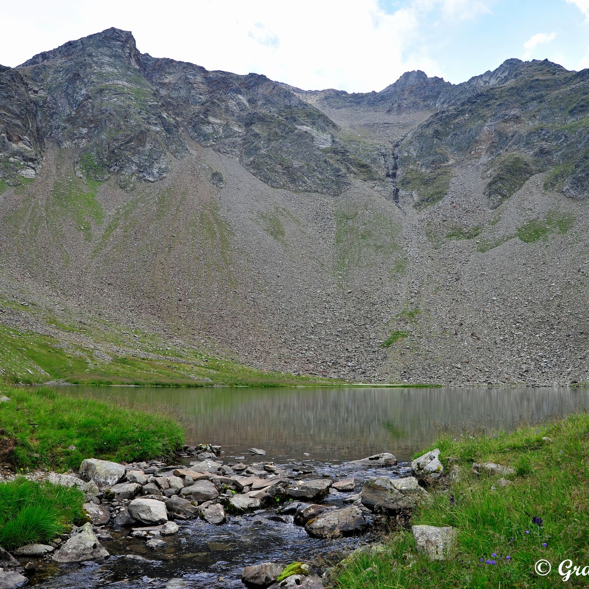
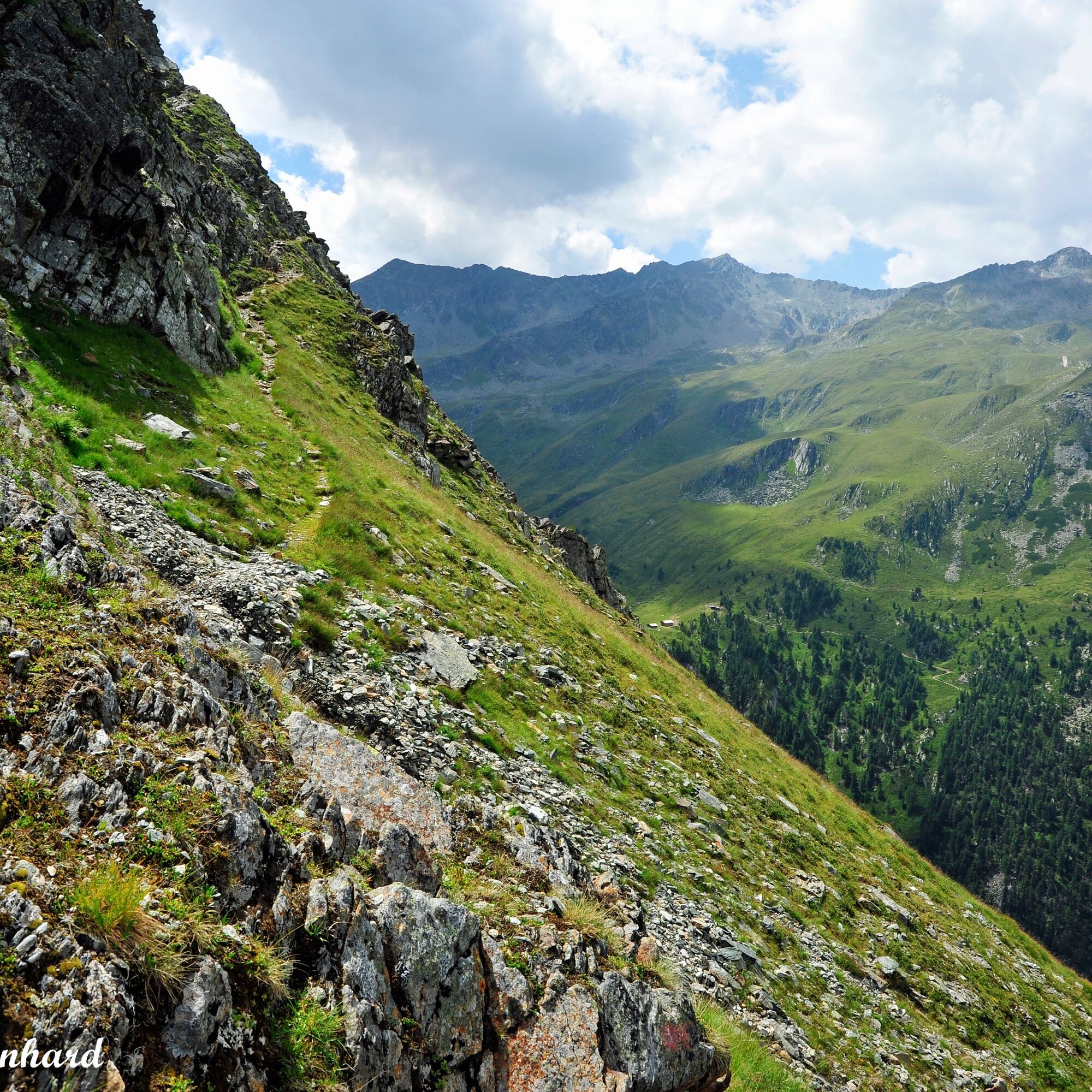
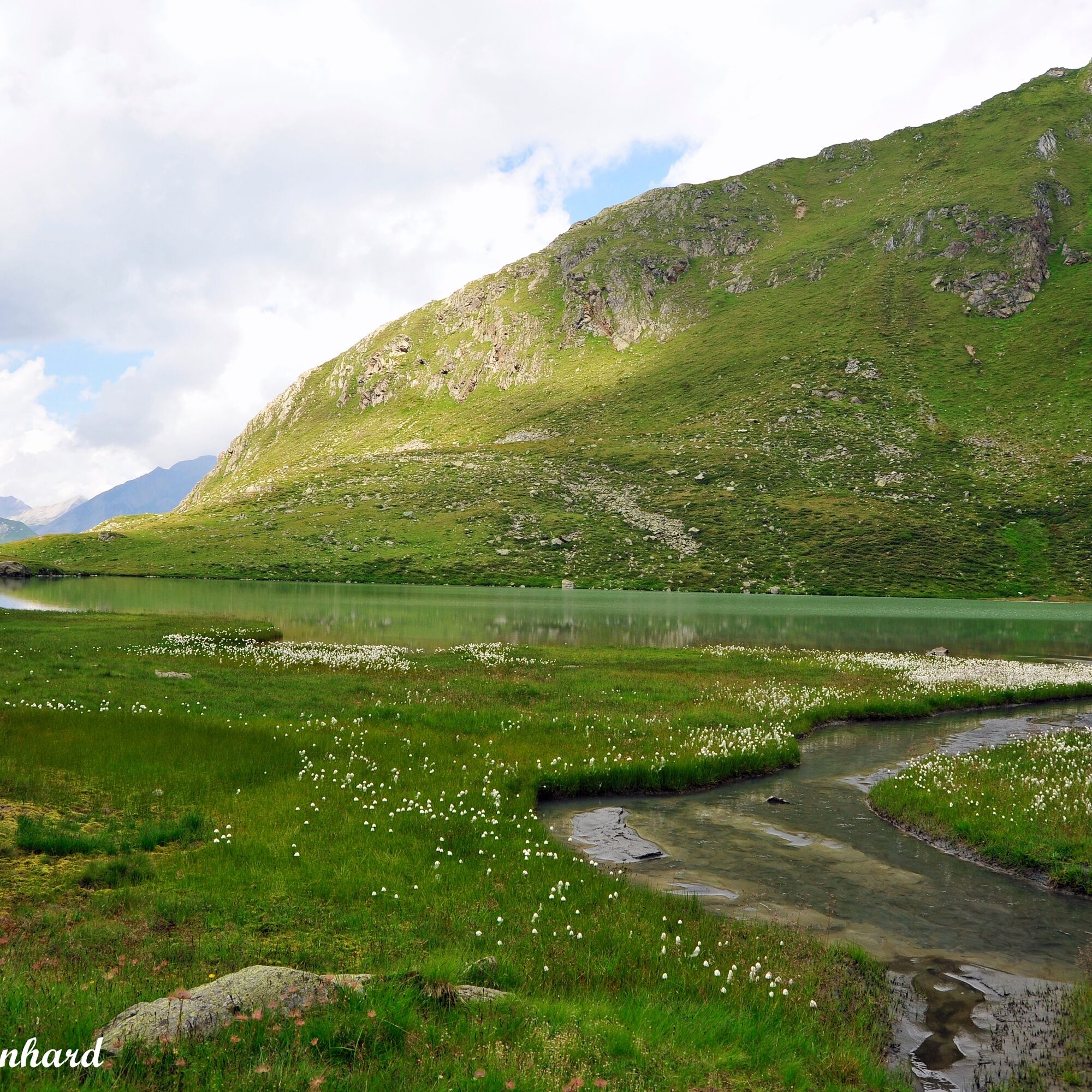
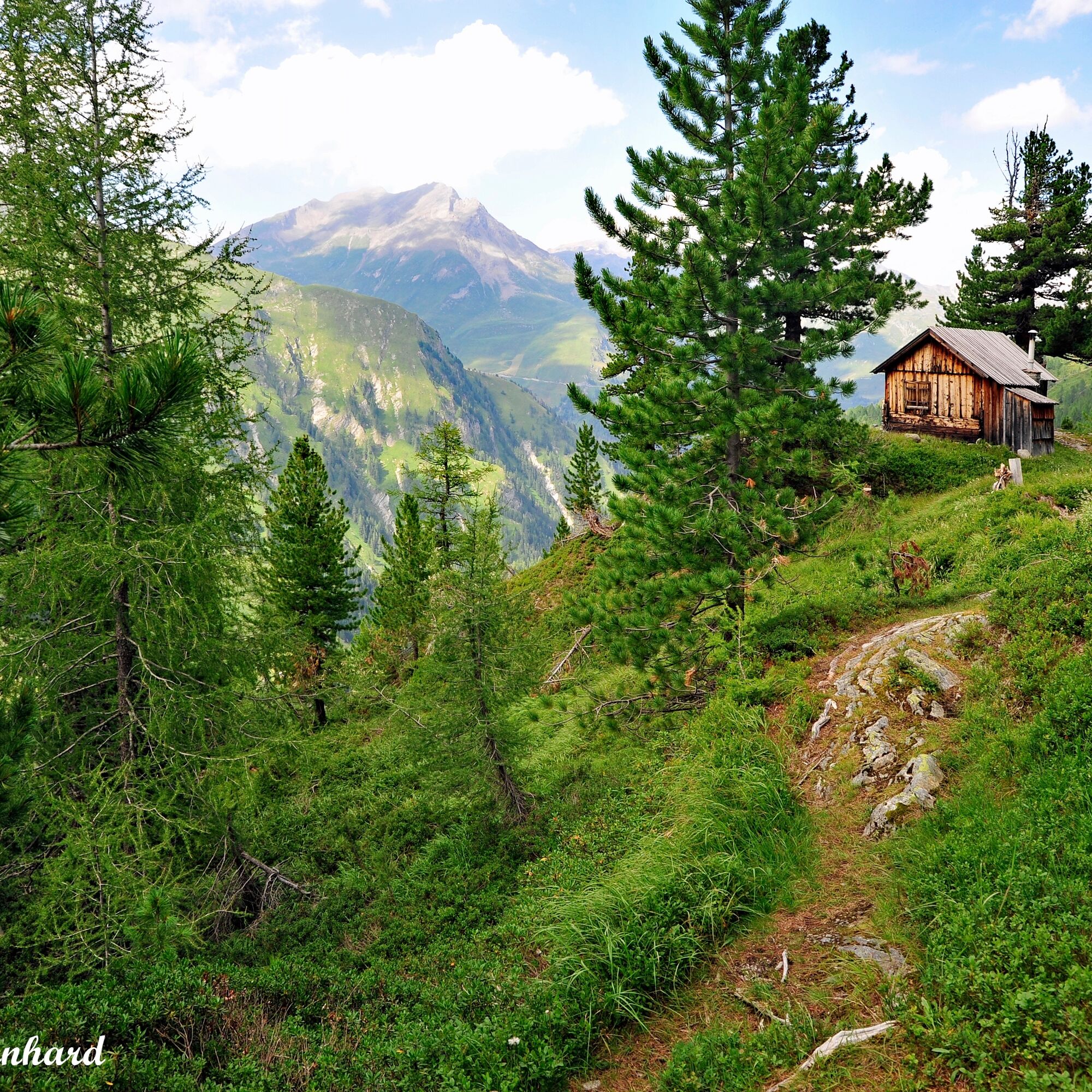
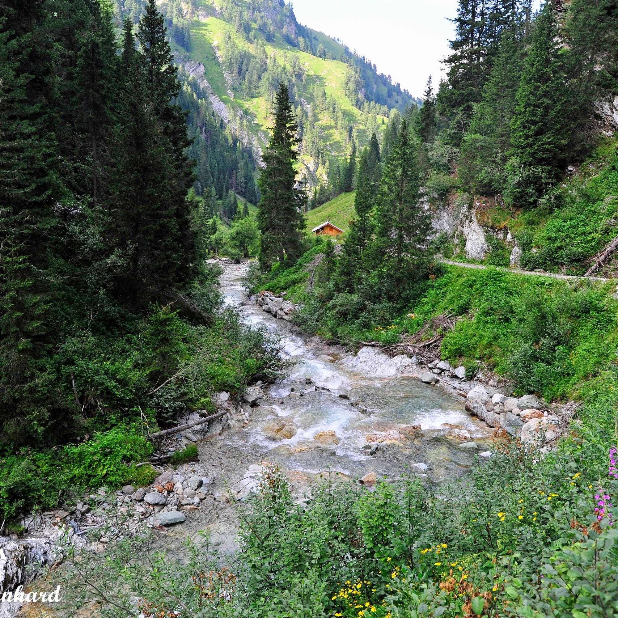
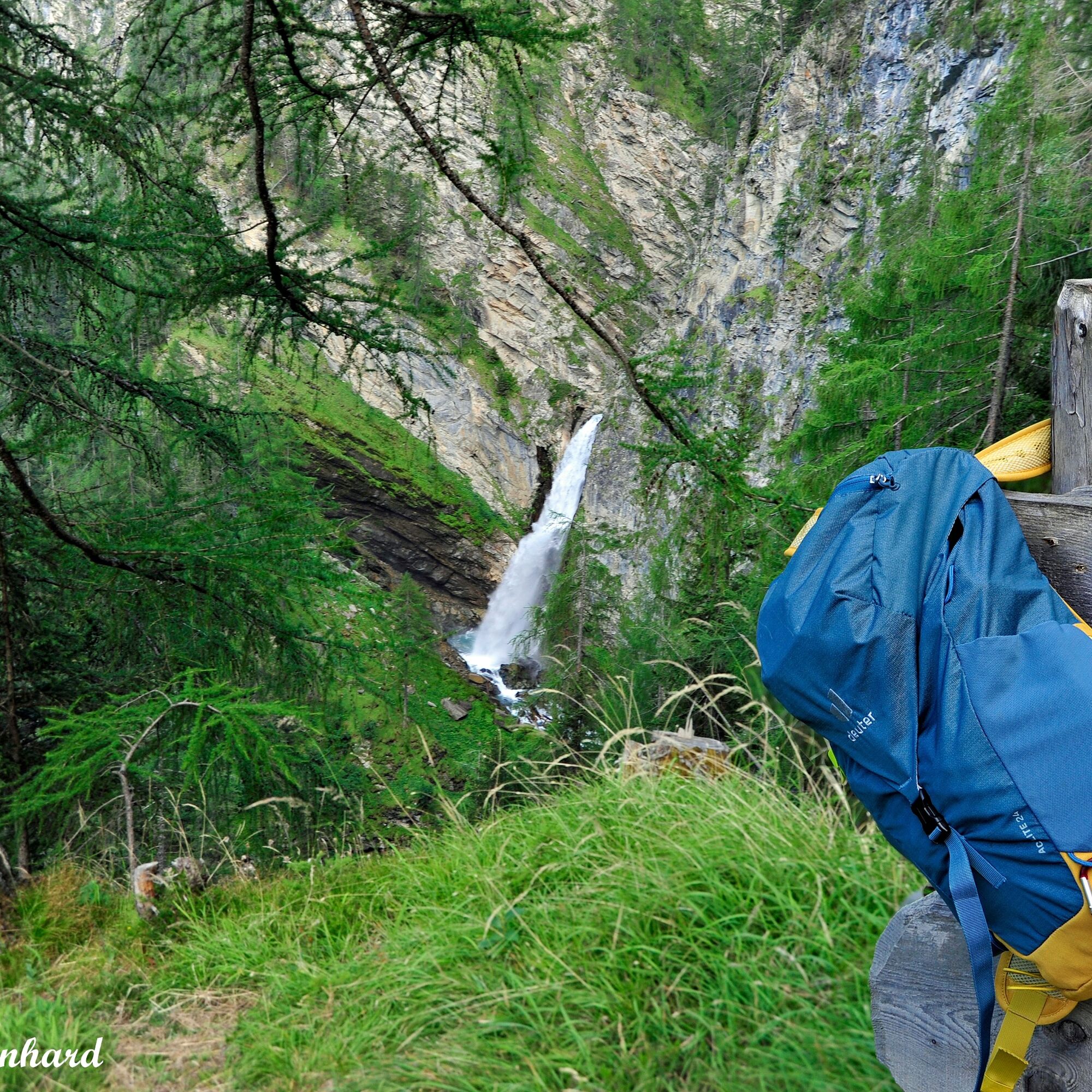

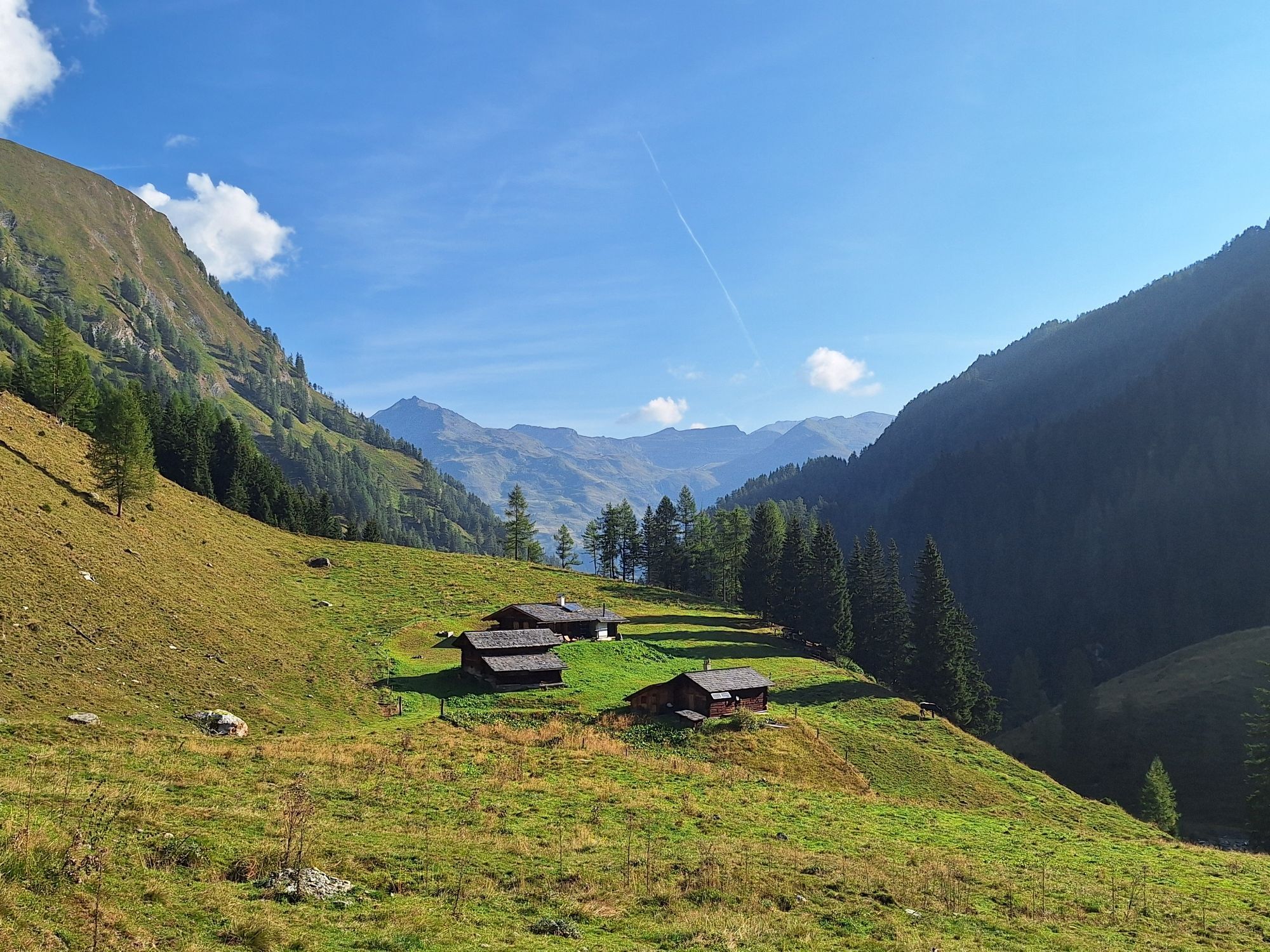
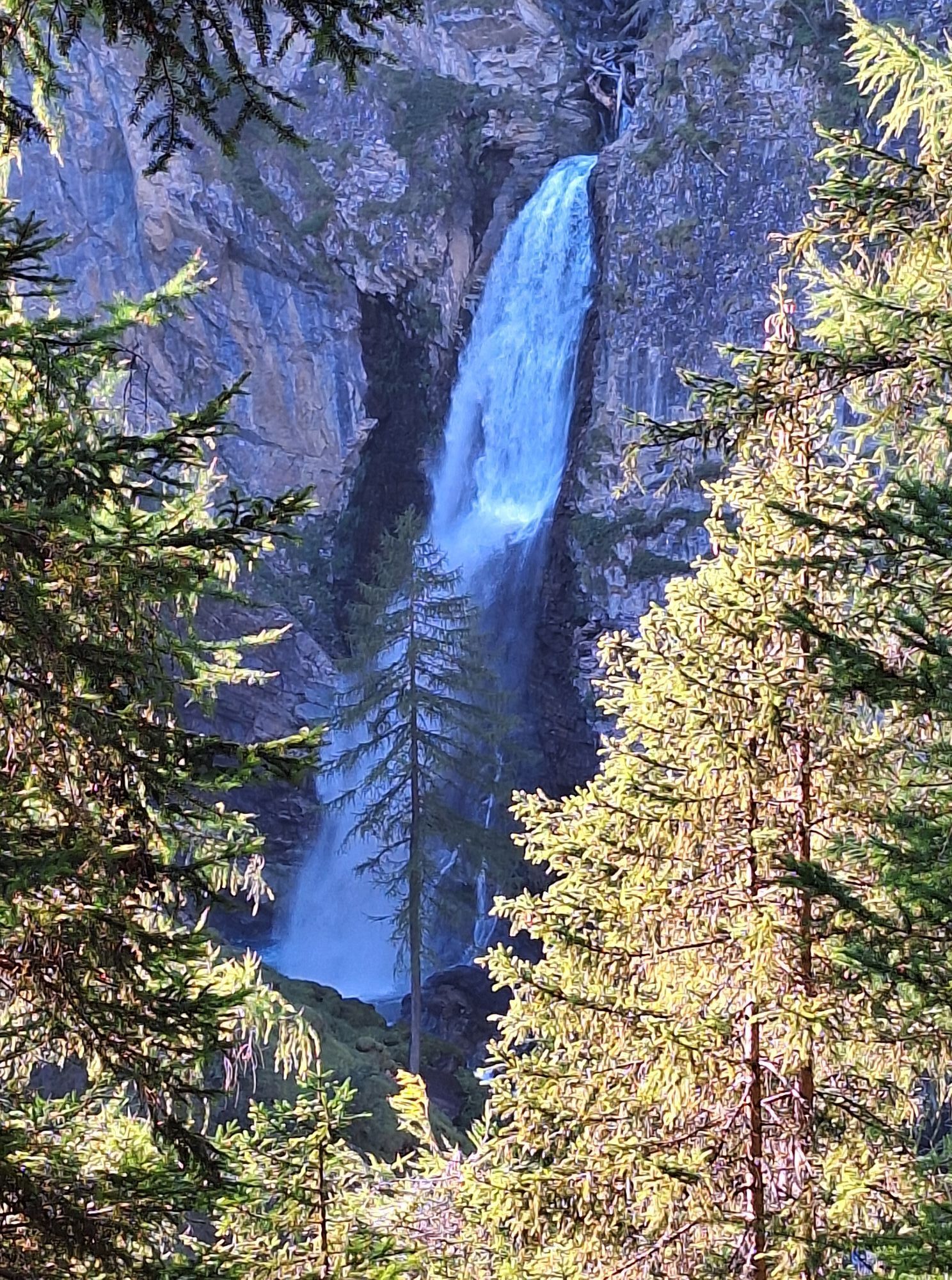
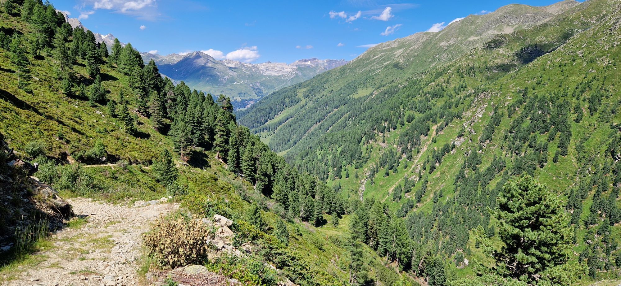
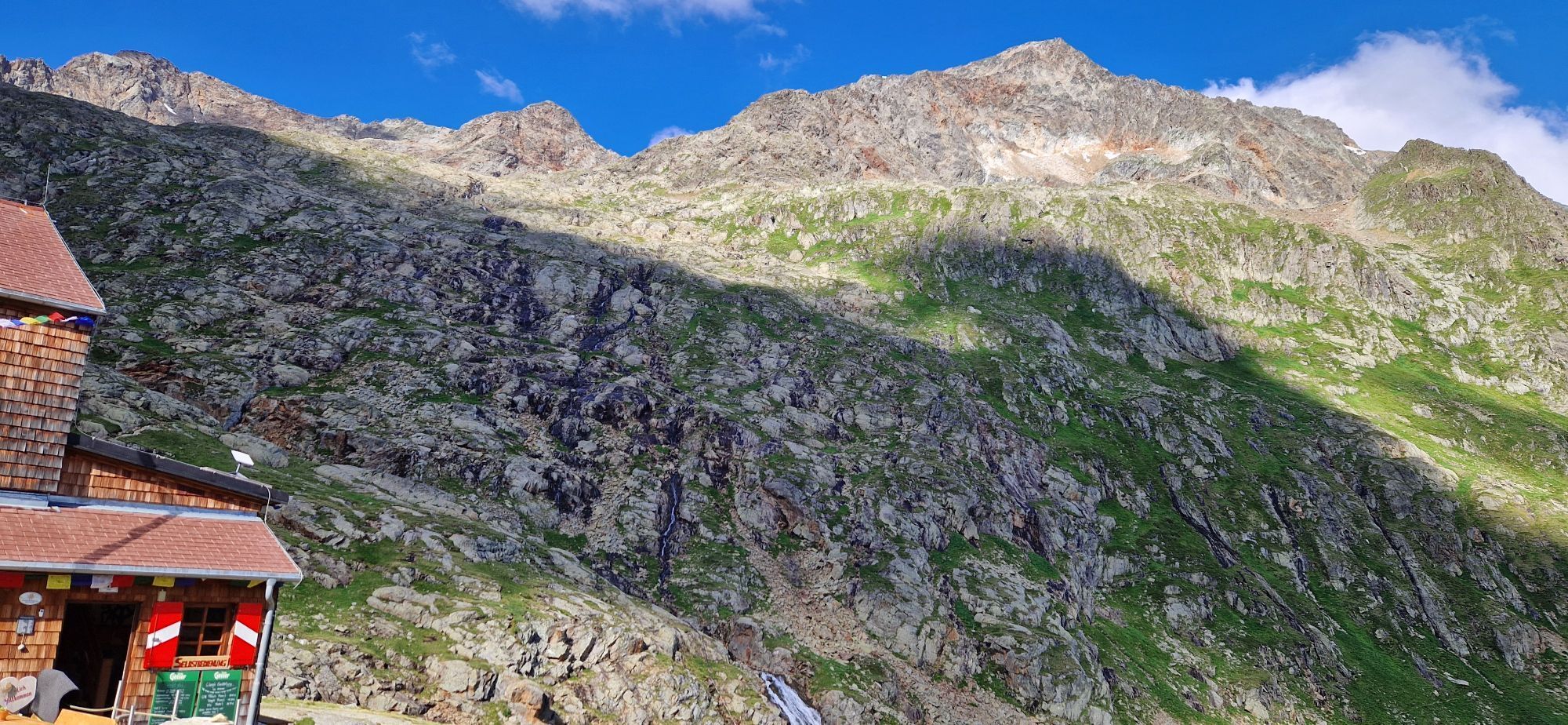
The Wolfgang Chapel near Heiligenblut is the starting point of this hike. After a short time, we cross the Gößnitz bridge, from the barrier it goes over an alpine farm road for about half an hour with a view of the magnificent Gößnitz waterfall, steeply uphill. At the end of the steep climb stands a wayside shrine. After about one and a half hours, the junction to the Wirtsbauer Alm is reached. Here we turn right and follow the path towards the Elberfelderhütte. We follow trail 915, via the cattle drive path to the inner Ebenalm, past the Ochsner hut and to the Hintere Holzalm. Now we are above the tree line and can take a last break at the Moor hut of the National Park. Over beautiful meadowland with small climbs and two bridges, the destination, the Elberfelderhütte, is soon reached. We return via the Langtalseen. The route from Heiligenblut into the Gößnitztal is beautiful but partly somewhat steep. There are no opportunities to stop for refreshments along the way, so be sure to bring enough provisions.
Typical hiking equipment is sufficient - sturdy footwear, poles, rainwear, provisions for the entire day
You drive your car through the center of Heiligenblut into the district Winkl.
Parking lot Retschitzbrücke in the district Winkl of Heiligenblut
Don't forget: Reserve an overnight stay at the Elberfelderhütte in advance (Tel. +43 4824 2545)

 Získajte prehľad
Vždy naživo na mieste s viac ako 9 500 webovými kamerami. bergfex Ako používateľ Pro si teraz môžete pozrieť príslušné webové kamery pre mnohé zájazdy v aplikácii zájazdy z. Môžete si tak priamo prezerať aktuálne podmienky.
Získajte prehľad
Vždy naživo na mieste s viac ako 9 500 webovými kamerami. bergfex Ako používateľ Pro si teraz môžete pozrieť príslušné webové kamery pre mnohé zájazdy v aplikácii zájazdy z. Môžete si tak priamo prezerať aktuálne podmienky.
Aktivity počas prehliadky
-

Elberfelder Hütte Abstieg nach Winkeln Heiligenblut
02.08.2026 – Turistika -
Heiligenblut Winkel Aufstieg Elberfelder Hütte
27.07.2026 – Turistika -

Heiligenblut am Großglockner Bergsteigen
29.08.2025 – Iné -

Heiligenblut am Großglockner, Kärnten/Österreich
07.08.2025 – Horská turistika -

Winkl, Kärnten/Österreich
27.06.2025 – Turistika
Obľúbené výlety v okolí
-
4,9
Wangennitzsee Hütte
strednáTuristika 3,80 km -
4,7
Geotrail Tauernfenster
svetloTuristika 5,90 km -
4,7
Kaiser-Franz-Josefs-Höhe to Oberwalderhütte
ťažkéTuristika 5,52 km -
4,9
Glockner
strednáVysoké turné 19 km -
4,3
Glacier Route to the Pasterze with Gamsgrubenweg (up to Tunnel 6)
strednáTuristika 8,05 km -
4,8
Glödis 3206m: PP Seichenbrunn, Lienzer Hütte, Glödis KS A/B
ťažkéVysoké turné 16,1 km -
4,8
Summit hike Rotenkogel 2,762m
ťažkéTuristika 4,22 km -
4,5
Spielmann
strednáTuristika 9,48 km -
4,9
Figerhorn 2743m, Lucknerhaus
ťažkéTuristika 6,69 km -
4,9
Glockner Alpincenter - Salmhütte - Hohenwartkees
strednáTuristika 8,64 km
Turistika a stopovanie


Nenechajte si ujsť ponuky a inšpiráciu na ďalšiu dovolenku
Vaša e-mailová adresa bol pridaný do poštového zoznamu.





