


113/B/111 Rundwanderung Bonner Hütte - Branntweiner/Kößlbacheralm

Eine etwas längere, aber schöne gemütliche Wanderung ohne viel Höhenmeter!


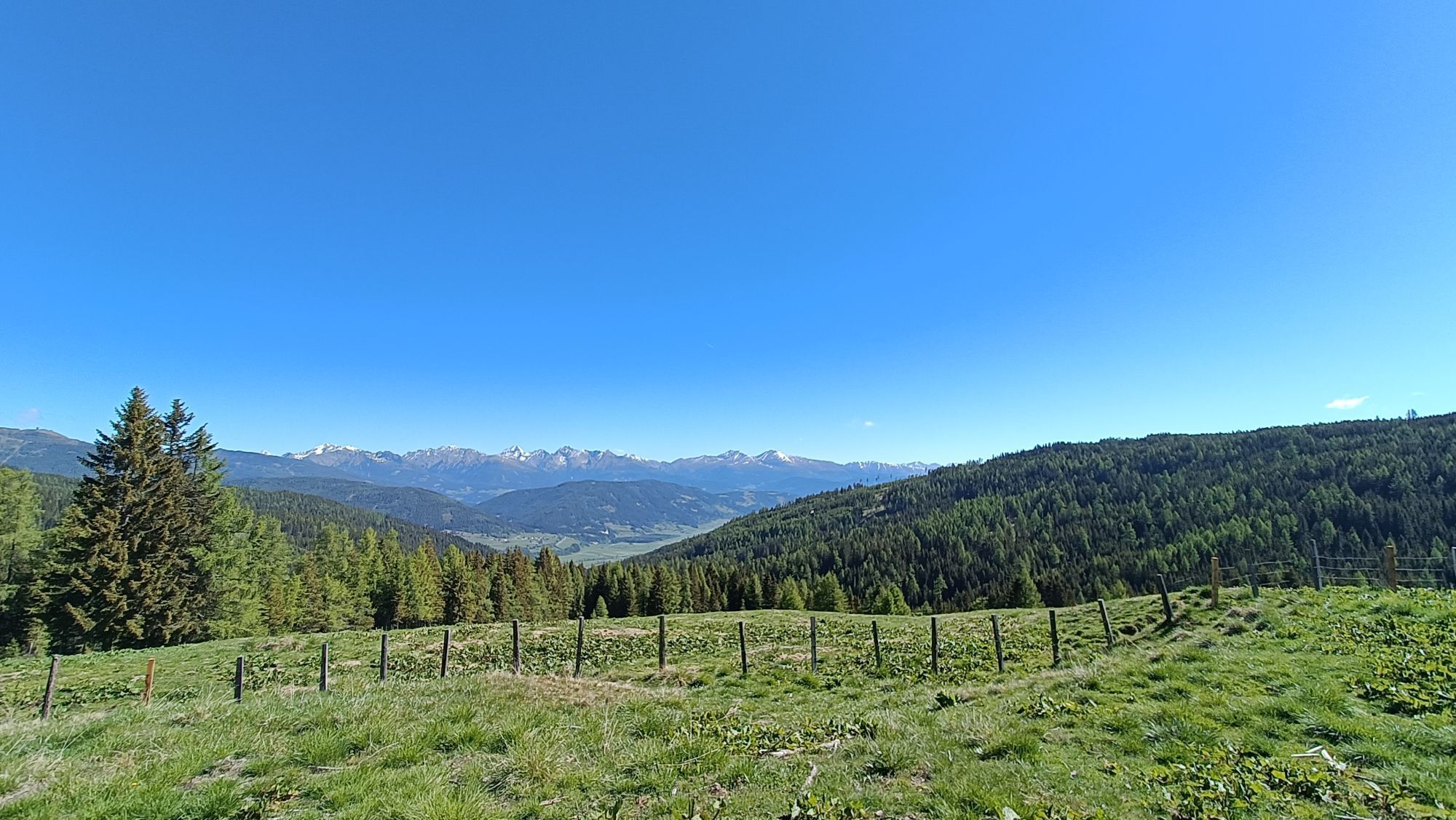
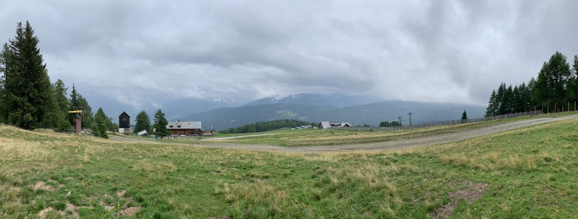
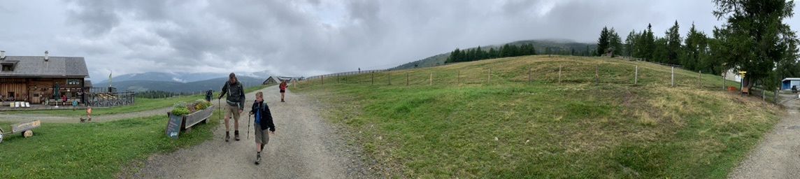
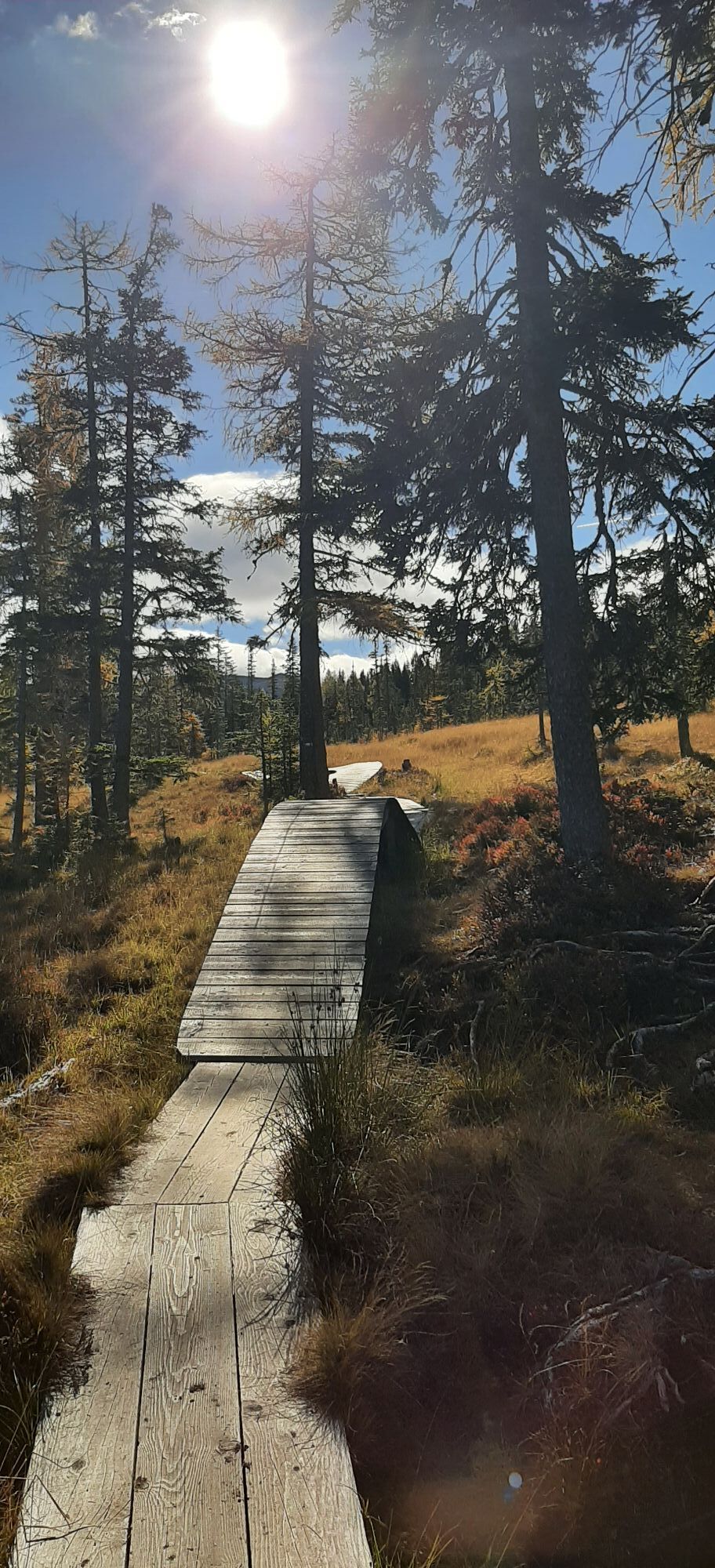
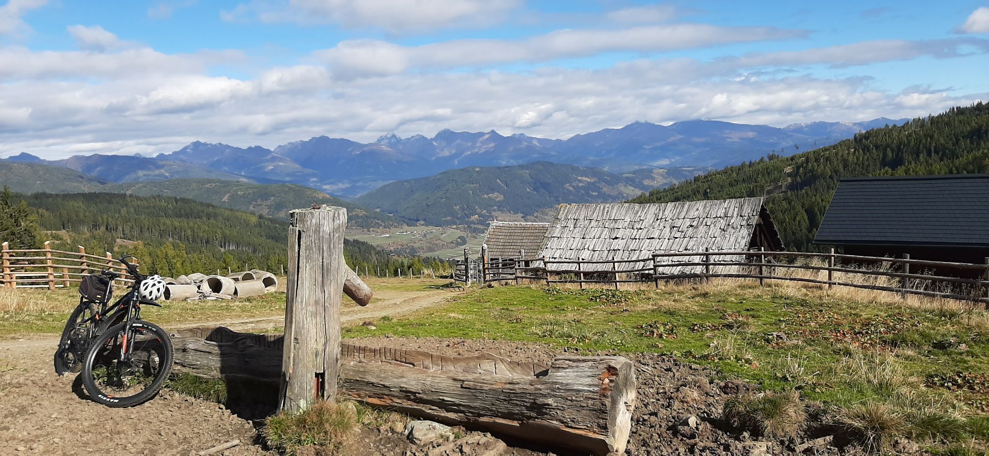
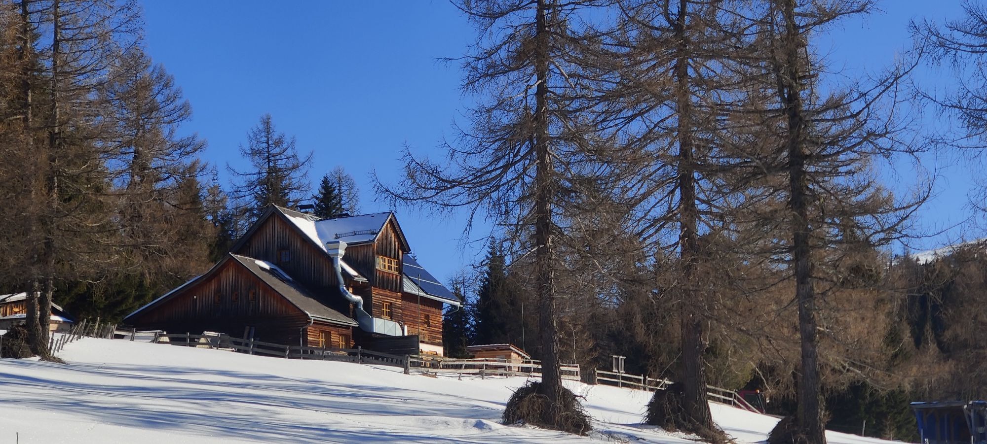
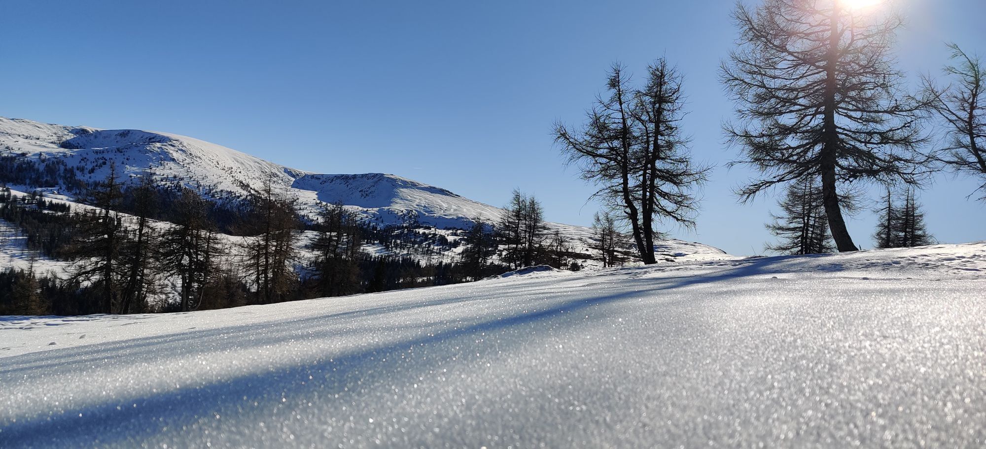
Start at Bonner Hütte on trail no. 113, northwest towards Lungau. After 10 minutes you reach a passage (also border of Kärnten and Salzburg). Go through the passage, following the steep track that leads through marshy, flat terrain. The boards laid down stop your feet getting wet. Continue on this path until you reach a crossroads of forest paths. Choose the path leading down the valley (and follow the signage) and you’ll reach the unmanaged Esseralm huts, which offer a majestic view of the Murtal. Continue on the forest path leading down the valley until you come to another fork. Turn left here, cross the small Leisnitz stream and slip through the passage next to the gate. You’ll soon see the unmanaged Meisnitzeralm hut on the right. Pay attention here: take the path approximately 20m beyond the hut (look for the yellow trail markings) and continue on this path through meadows and then into high forest. Continue on this path, which is often marshy and wet, until you reach a hatch. From here you can continue straight or take the path downhill on the right, which leads to a wide forest road. Follow this road for a few minutes and you will reach a fork. You can already see Köβlbacher Alm from here and Brannweinerhütte is just a little further. At this last fork, path B and then trail no. 111 lead back to Bonner Hütte via Aineckhütten and Sackstadl.
Áno
trittfestes Schuhwerk, Handy, Getränke und eventuell Jause, Sonnenschutz
Ausgehend von der Ortschaft Rennweg am Katschberg fährt man mit dem PKW durch die Ortschaften Aschbach, Ober- und Unter-Frankenberg hinein ins Laußnitztal, bis man den Parkplatz der Bonner Hütte erreicht.
Online Fahrplanauskunft: www.postbus.at. Kein öffentliches Verkehrsmittel zur Bonner Hütte! Taxi
Direkt neben der Bonner Hütte befindet sich ein Parkplatz.
Die Bonner Hütte ist im Sommer von Mitte Mai bis Ende Oktober geöffnet. Schöner Kinderspielplatz vor der Hütte.
Webové kamery z prehliadky
-
Sonnenbahn Bergstation
-
Aineck Mittelstation
-
Tschaneck
-
Silverjet 2 Bergstation
-
Katschberghöhe Aineck
-
Katschberghöhe Aineck
-
Golfplatz St. Michael
-
Golfplatz St. Michael
-
Golfplatz St. Michael
-
Golfplatz St. Michael
-
Sommerrodelbahn Katschberg
-
Zentrum Katschberghöhe
-
Zentrum Katschberghöhe
-
Zentrum Katschberghöhe
-
Silverjet Katschberg
-
Aineck Mittelstation
-
Zentrum Katschberghöhe
-
Zentrum Katschberghöhe
-
Boutique Apartments Herbert
-
Boutique Apartments Herbert
-
Hotel Grizzly
-
Hotel Grizzly
-
Hotel Grizzly
-
Hotel Grizzly
-
Hotel Grizzly
-
Tschaneckbahn
-
Tschaneckbahn
-
Tschaneckbahn
-
Tschaneckbahn
Obľúbené výlety v okolí
-
4,7
19, 97 Herzerl trail to the Gamskogelhütte
svetloTematická trasa 3,83 km -
3,9
Schlögelbergrundweg Nr. 82 (Wasserweg Leisnitz)
strednáTuristika 5,15 km -
4,2
Pritzhütte
svetloTuristika 3,38 km -
4,9
Gr. Königsstuhl, Nockalm, Kärnten
strednáHorská turistika 7,15 km -
4,8
Schönfeld: Großer Königstuhl
strednáTuristika 11,2 km -
4,6
97 circular hike Gontalrunde, Katschberg - Gontalscharte - Gontal
Turistika 9,33 km -
4,4
Peitlernock, Hohe Pressing, Bärenaunock
strednáTuristika 9,16 km -
4,0
Ski tour educational trail Grünleitennock
svetloSkitour 10,6 km -
3,4
97 Mountain tour to Kareck
strednáTuristika 14,0 km -
4,8
Hiking on the Katschberger Advent route
svetloZimná turistika 5,01 km
Turistika a stopovanie


Nenechajte si ujsť ponuky a inšpiráciu na ďalšiu dovolenku
Vaša e-mailová adresa bol pridaný do poštového zoznamu.