






Old Roman Road - Lieser Trail - Gmünd
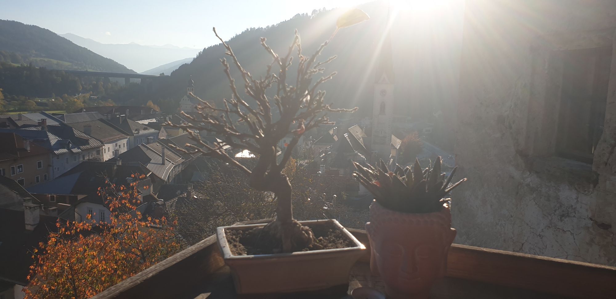
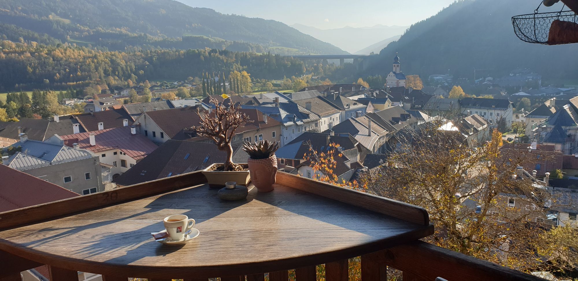
The short hike of about 1 hour walking time takes us a stretch on the Old Roman Road towards Trebesing. According to tradition, Roman merchants often followed soldiers on these roads, bringing goods and...
The short hike of about 1 hour walking time takes us a stretch on the Old Roman Road towards Trebesing. According to tradition, Roman merchants often followed soldiers on these roads, bringing goods and money, but also Roman culture and customs to the provinces.
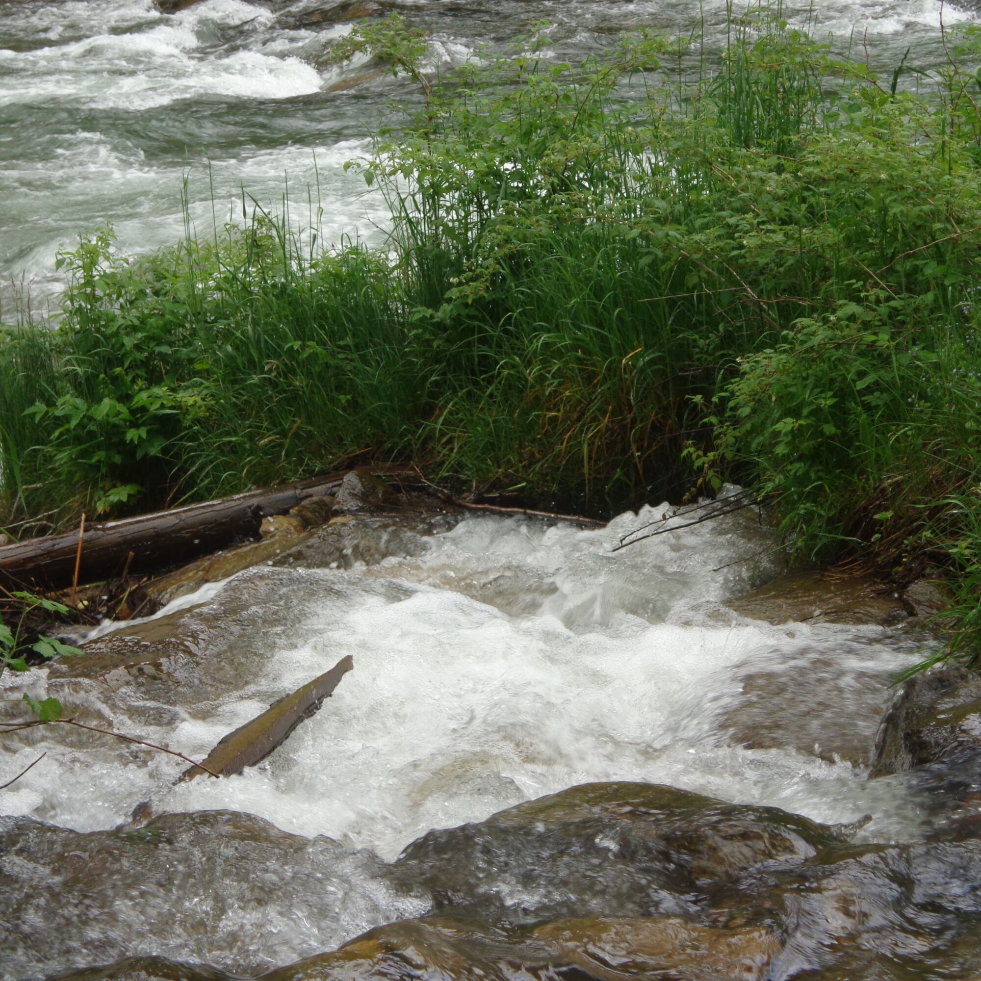
You are mostly surrounded by nature. On the return leg, the rushing of the Lieser river accompanies us.

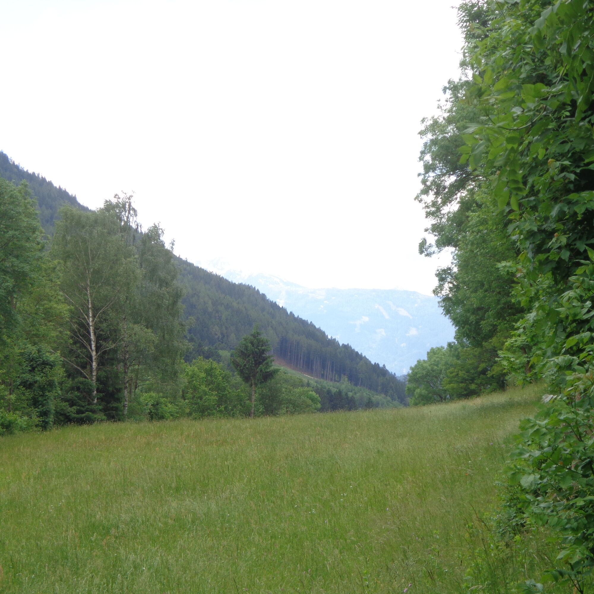
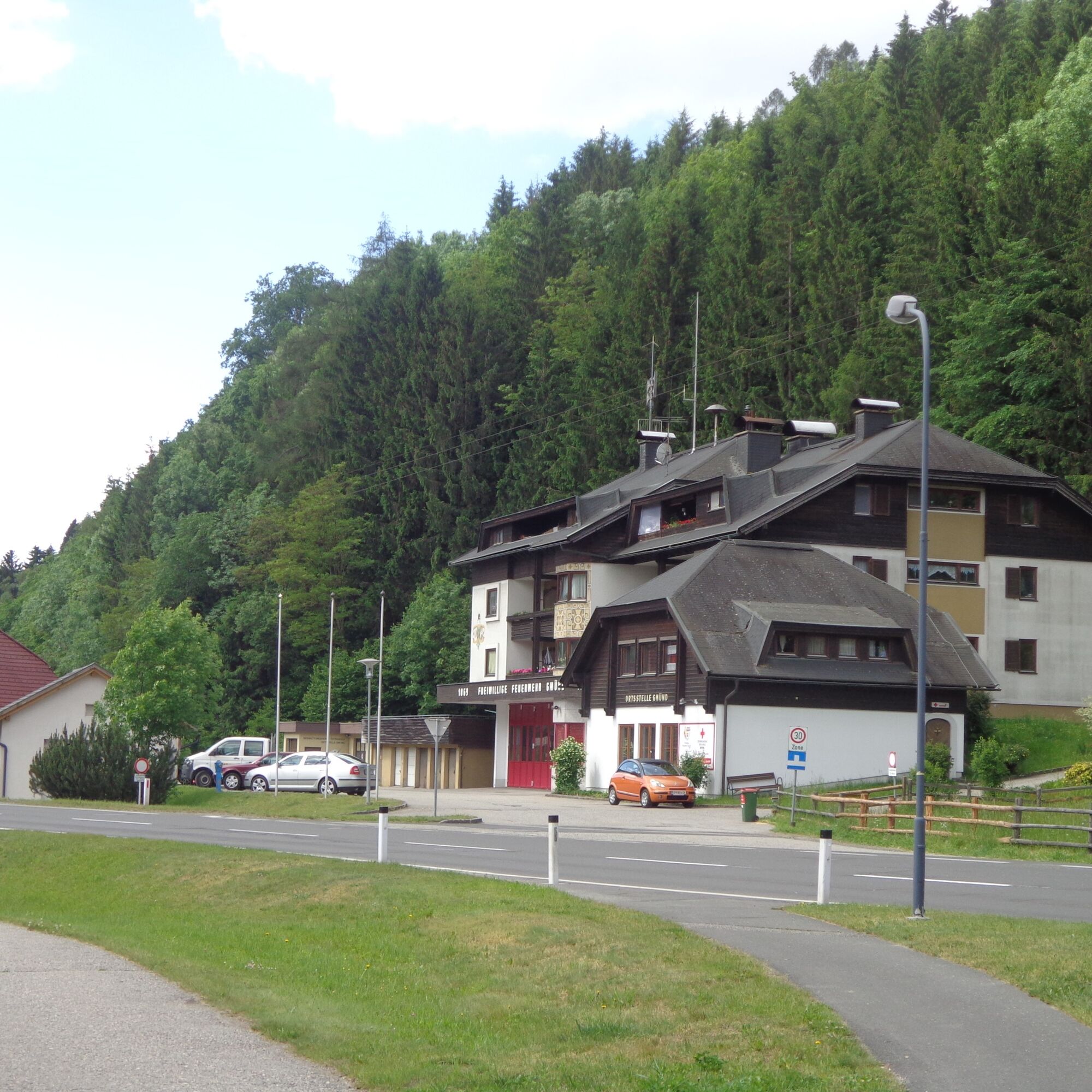
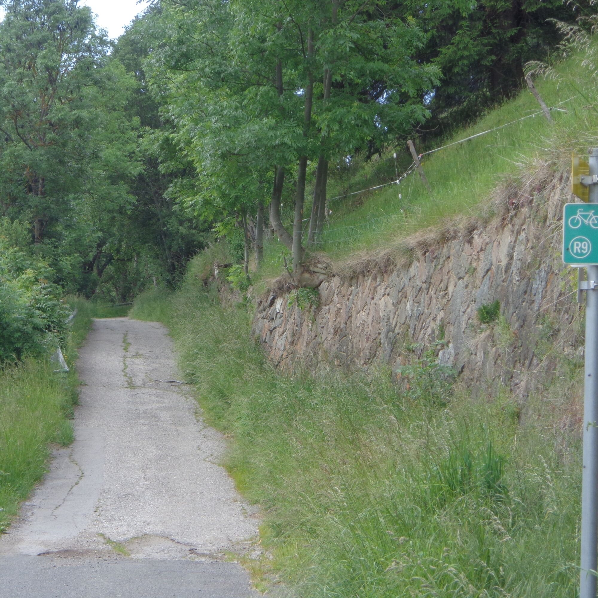
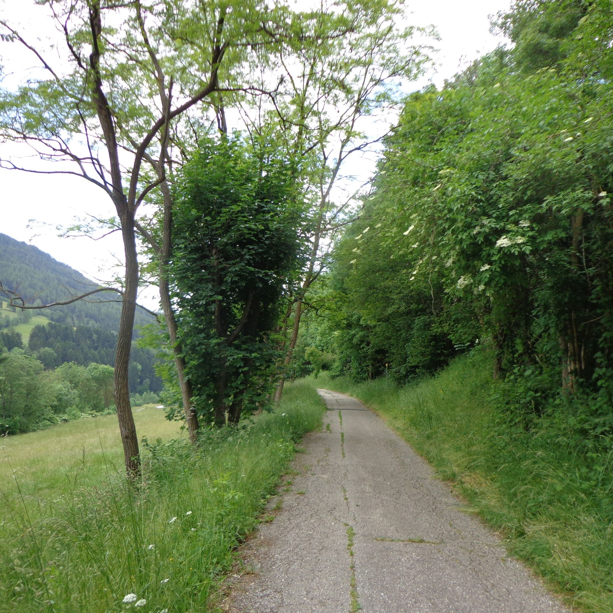
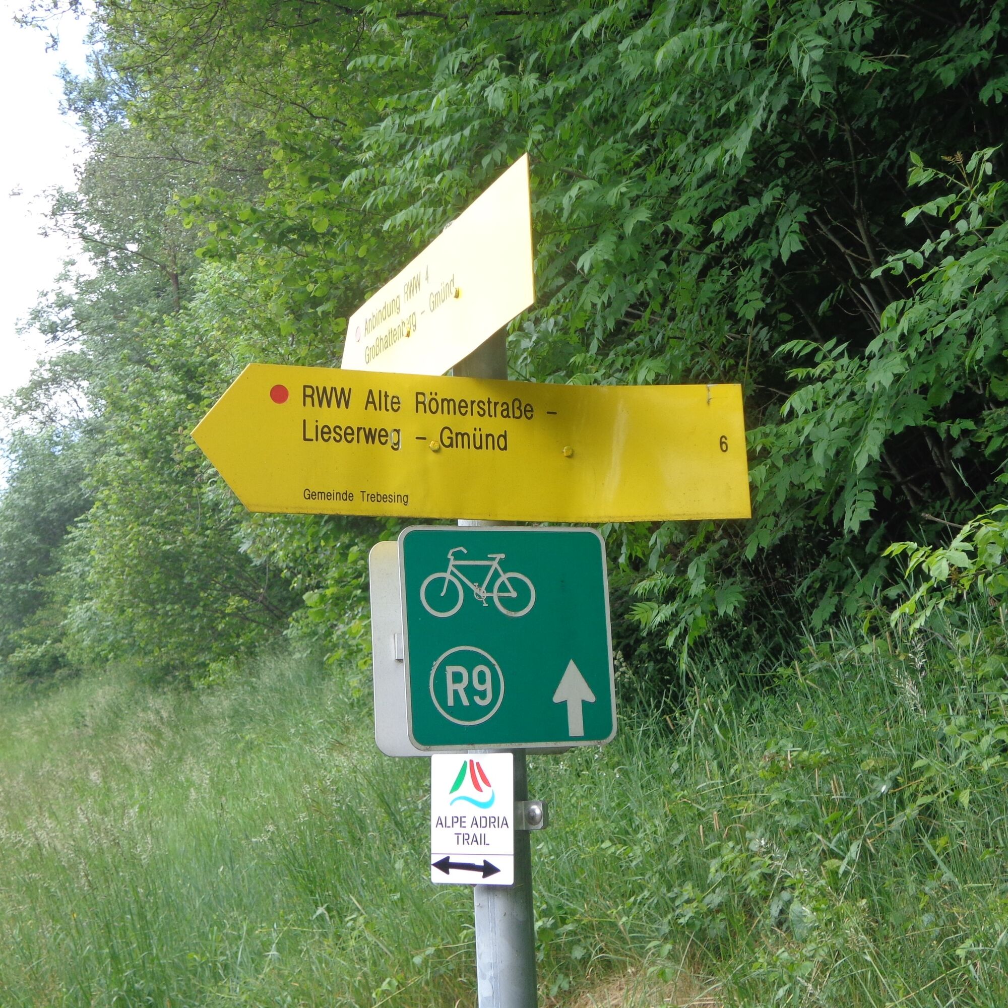
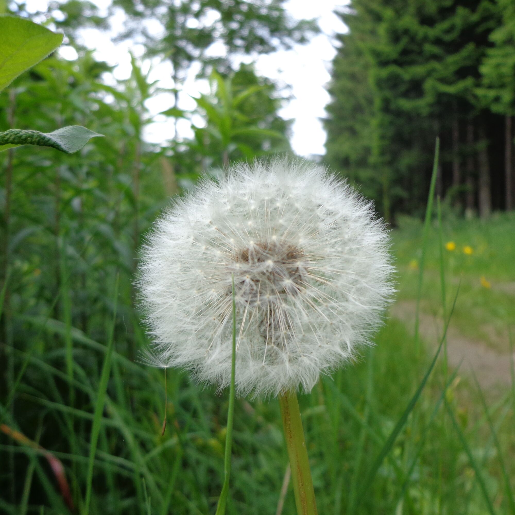
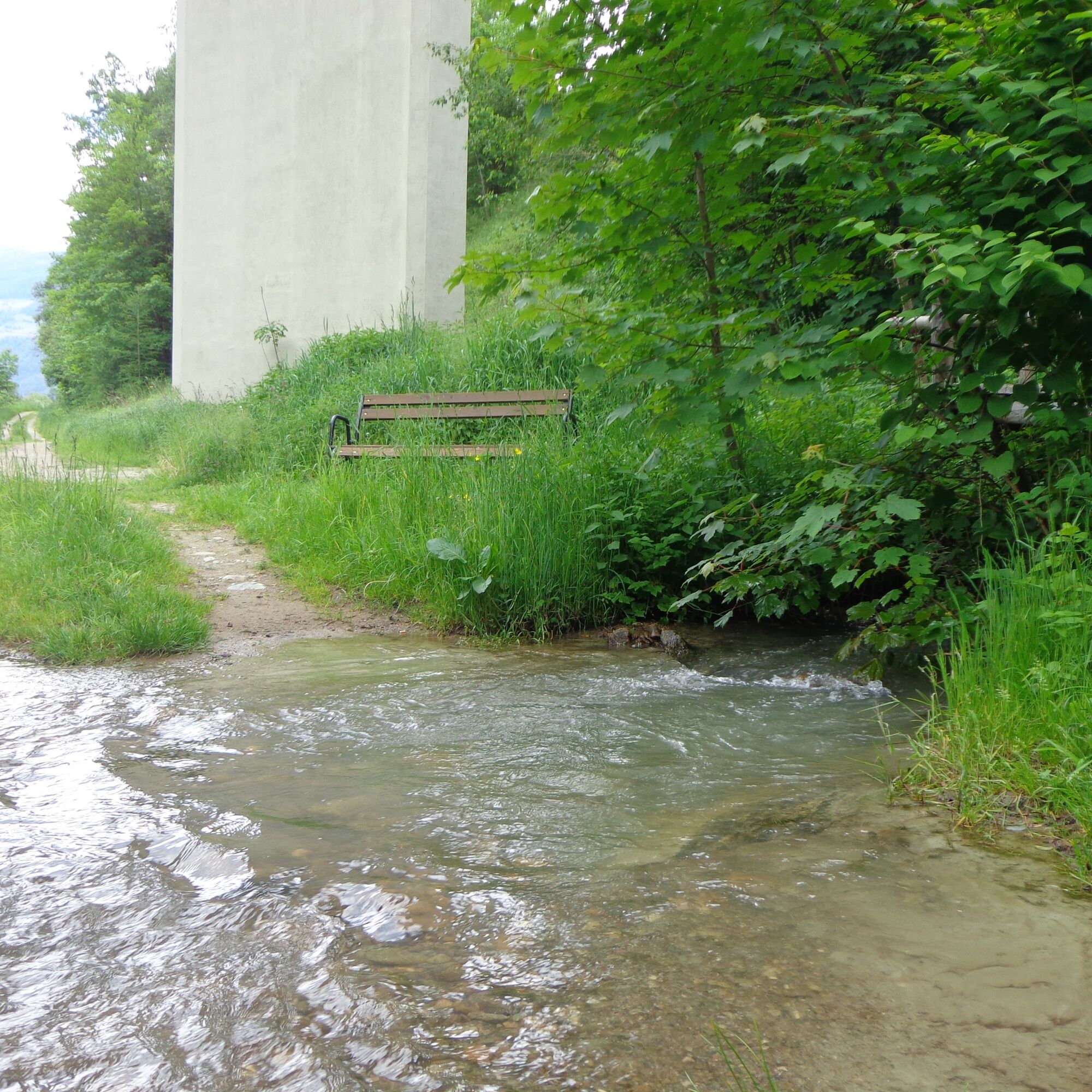
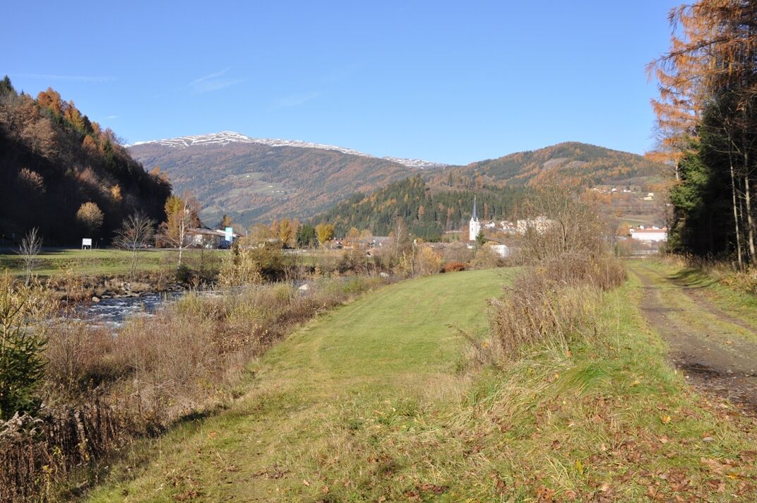
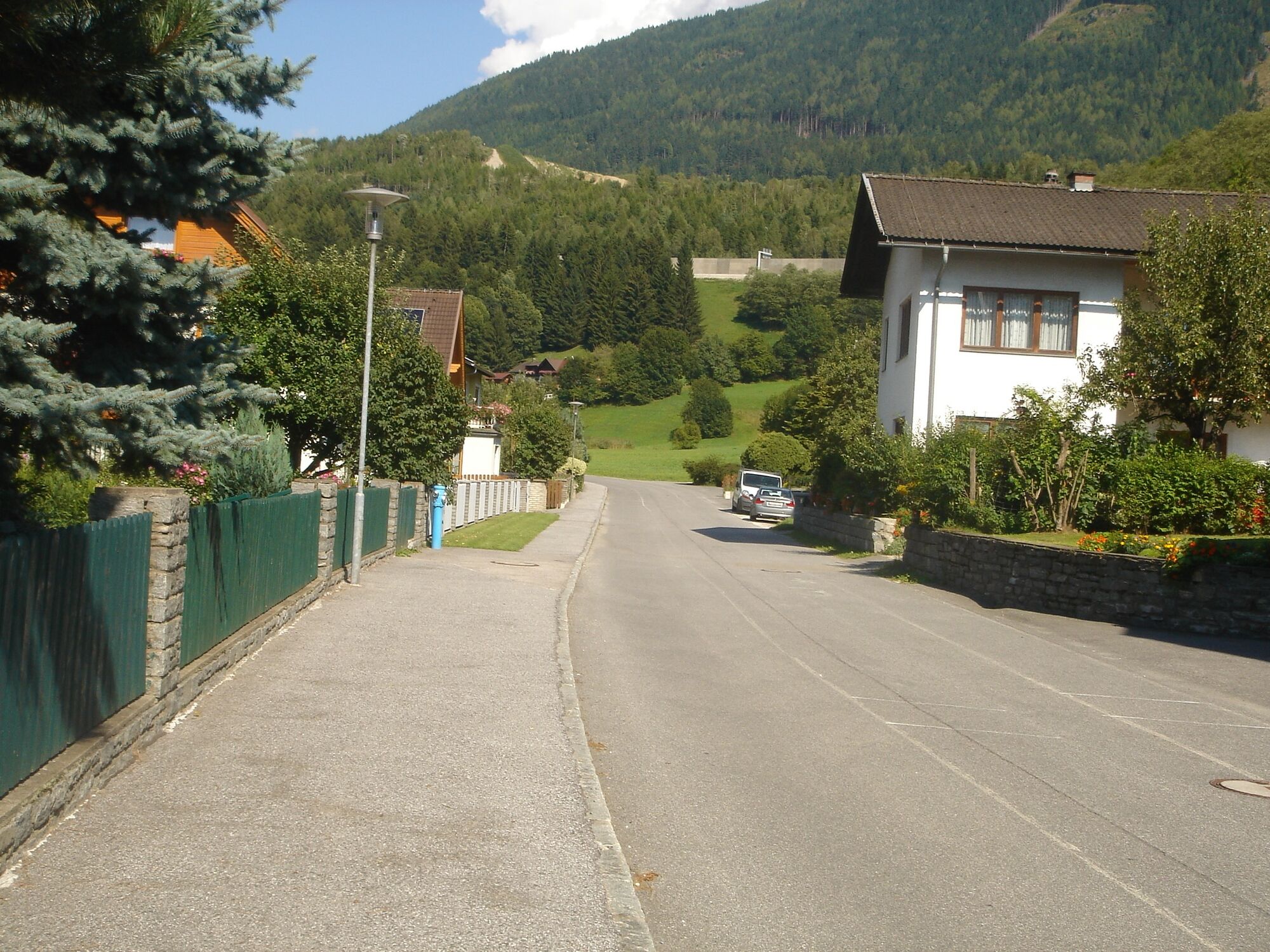
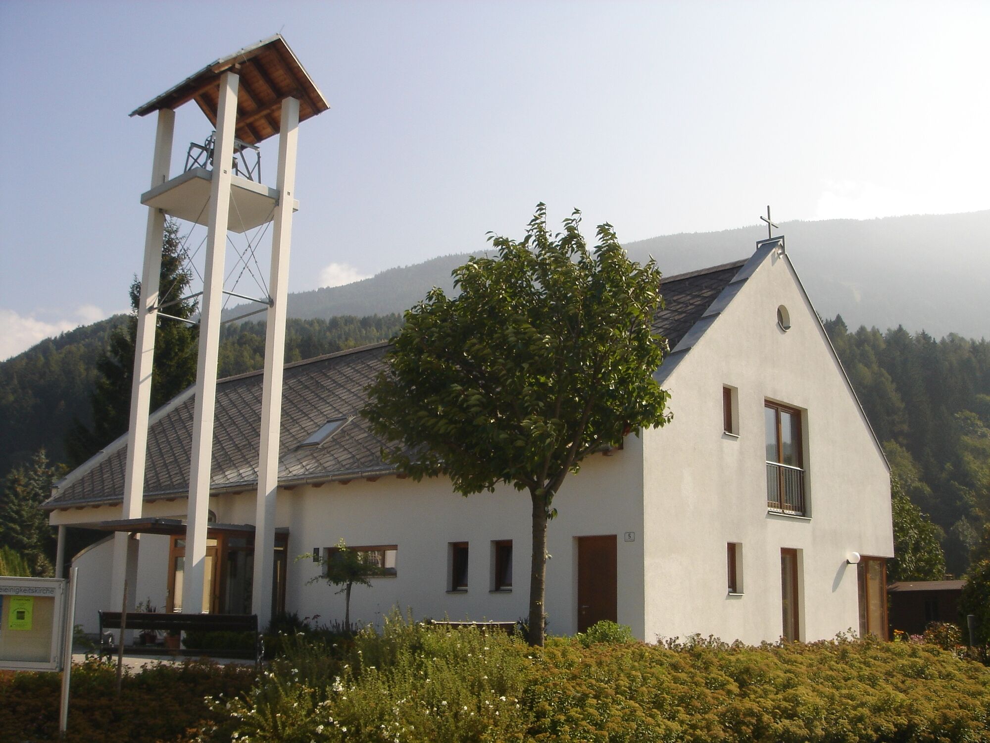
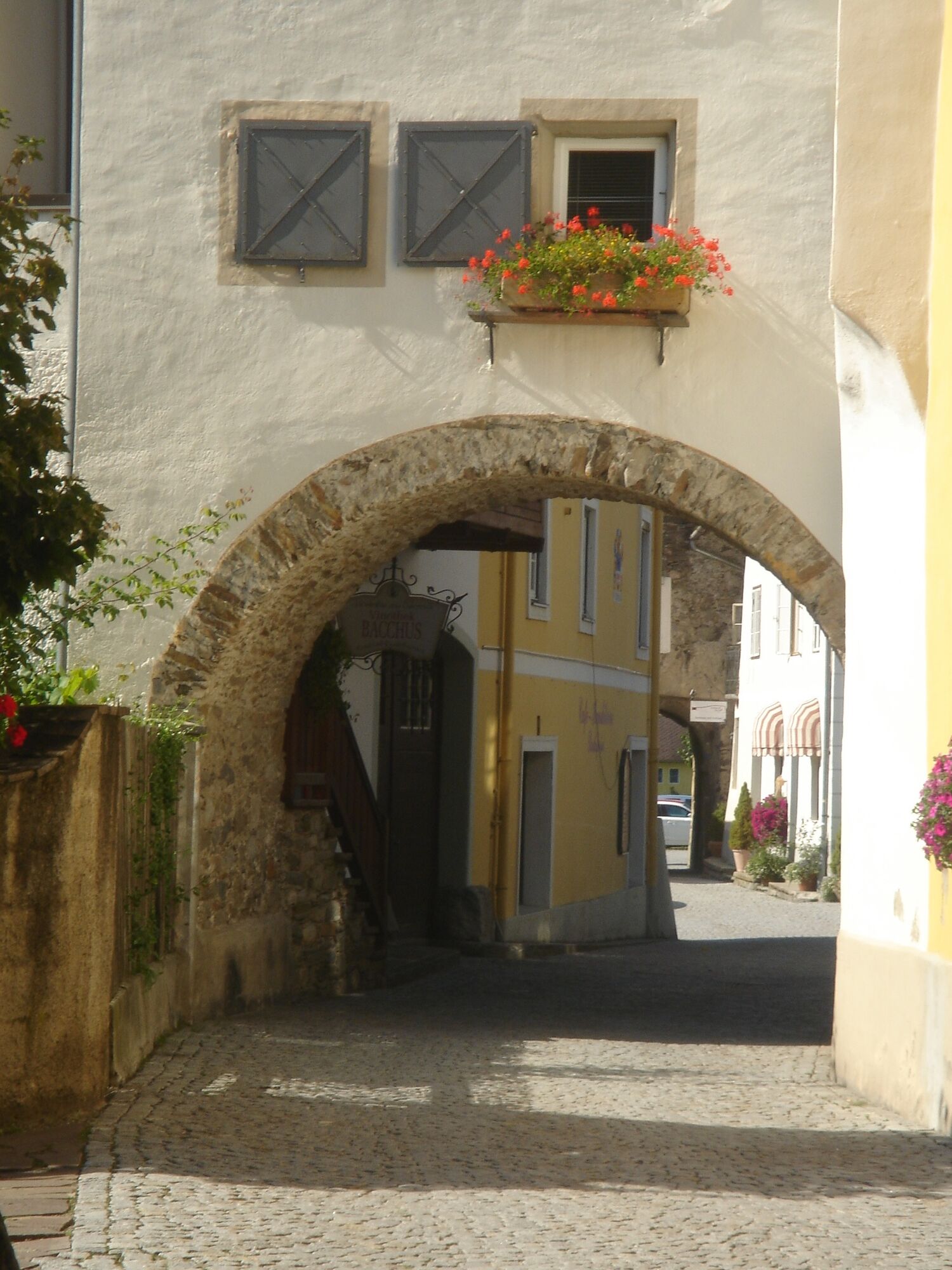

We start at the car park at the cemetery and follow the Malta state road towards "Billa" and cross the road at the height of "Fire Department Gmünd" and the Red Cross point Gmünd. We follow the road and pass the "Lagerhaus / petrol station". To our left runs the B99. We stay on the small road and are already walking on the "Old Roman Road" towards Trebesing. After a first small ascent, it goes relatively flat along the mountainside. Shortly afterwards, the trees thin out and we look towards Spittal/Drau and the Trebesing business park. After a short descent to the Trebesing state road, we turn left down towards the B99. At the junction on the B99, we walk a bit back towards Gmünd to the bus stop and here, at the height of the wooden bridge, cross the federal road.
We cross the bridge, then keep left, walk along the footpath through the forest and along the Lieser river back towards Gmünd. We come to the small animal breeding facility, pass it and cross the state road and keep left heading back to town. We pass the Landsiedler painting studio and walk through the settlement (Moostratte) back into town. Past the Protestant church, over two bridges, and arrive at the main square of Gmünd. Here we walk through the Maltator and end up back at the car park at the cemetery.
Áno
This is an "easy" hike. Appropriate outdoor clothing is recommended.
Also suitable as a running or Nordic walking route!
Via the Tauern motorway A10 - exit Gmünd
ÖBB bus connection 5130 and 5132, bus stop Gmünd main square
Parking facilities outside the town center on the public car parks
We take drinks, small snacks and pause along the way to enjoy the peace!
 Získajte prehľad
Vždy naživo na mieste s viac ako 9 500 webovými kamerami. bergfex Ako používateľ Pro si teraz môžete pozrieť príslušné webové kamery pre mnohé zájazdy v aplikácii zájazdy z. Môžete si tak priamo prezerať aktuálne podmienky.
Získajte prehľad
Vždy naživo na mieste s viac ako 9 500 webovými kamerami. bergfex Ako používateľ Pro si teraz môžete pozrieť príslušné webové kamery pre mnohé zájazdy v aplikácii zájazdy z. Môžete si tak priamo prezerať aktuálne podmienky.
Obľúbené výlety v okolí
-
5,0
Bella Vista auf Hohe Leier
strednáVia ferrata 15,6 km -
4,8
Enzian-Granatsteig & Almbrunn Steig
svetloTuristika 8 km -
4,8
Lammersdorfer Hütte, Granattor Runde
svetloTuristika 9,85 km -
4,7
Millstätter See cycle track
strednáCyklistika 27,7 km -
4,7
H-2-O Höhenweg
svetloTematická trasa 5,40 km -
5,0
Bergfried Hütte, Stoder 2433, Gmeineck 2592
ťažkéTuristika 8,23 km -
4,8
Nockhöhensteig
strednáTuristika 7,67 km -
4,0
Barbarossa Gorge near Mühldorf/Mölltal
svetloTuristika 2,74 km -
4,3
Zwergsee route Millstatt
svetloTuristika 4,01 km -
4,4
Peitlernock, Hohe Pressing, Bärenaunock
strednáTuristika 9,16 km
Turistika a stopovanie


Nenechajte si ujsť ponuky a inšpiráciu na ďalšiu dovolenku
Vaša e-mailová adresa bol pridaný do poštového zoznamu.





